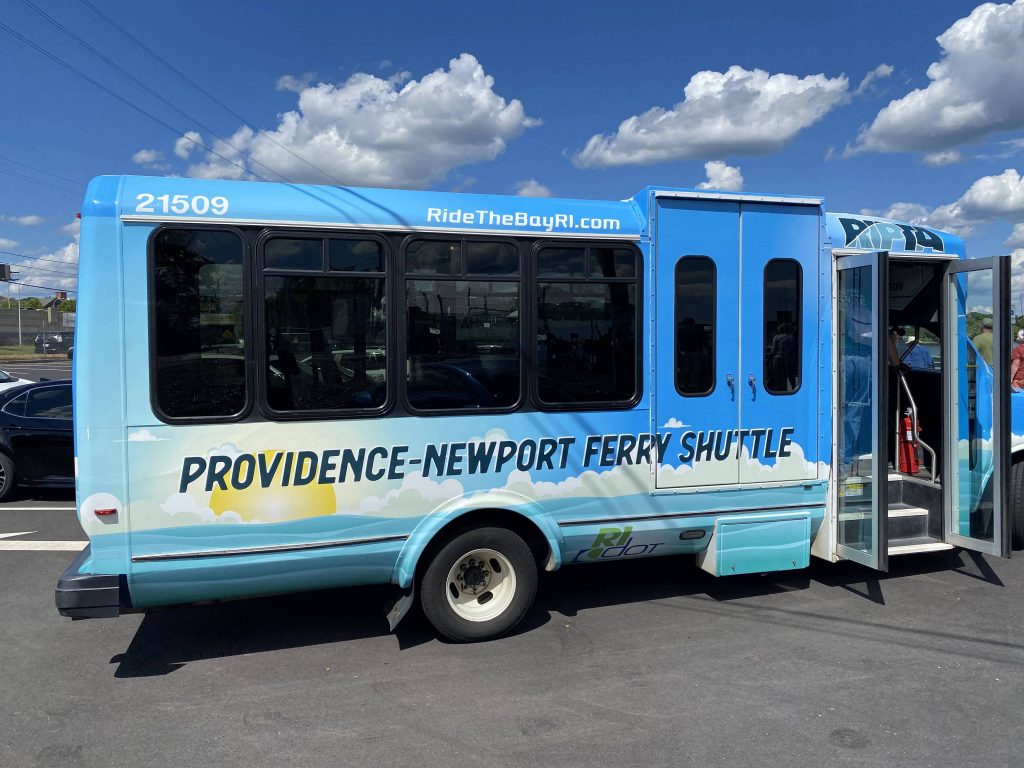
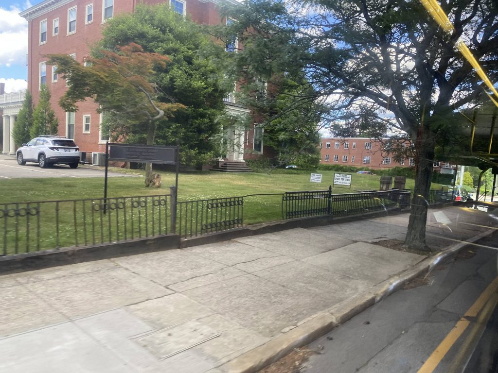
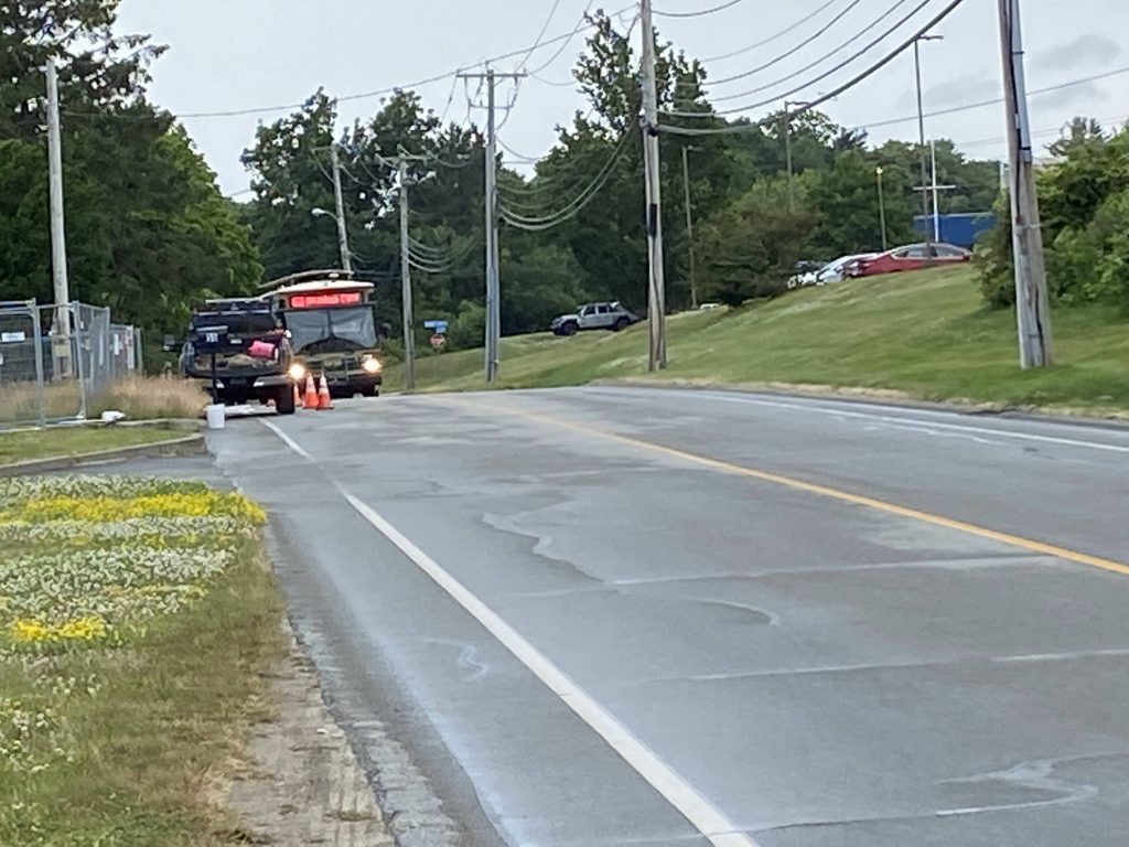
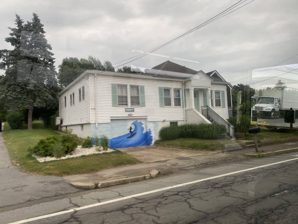
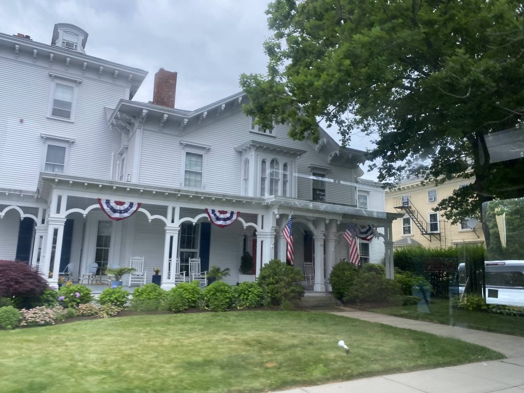
Now, I know, this officially has no number. However, historically, it was given the number “91” and, as such, I’m going off that. I’ll probably have to update it if an actual route 91 becomes a thing.
Onwards!
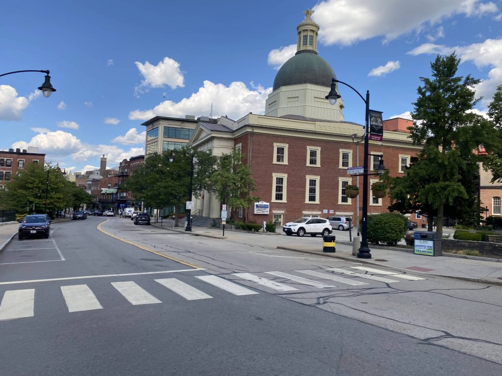
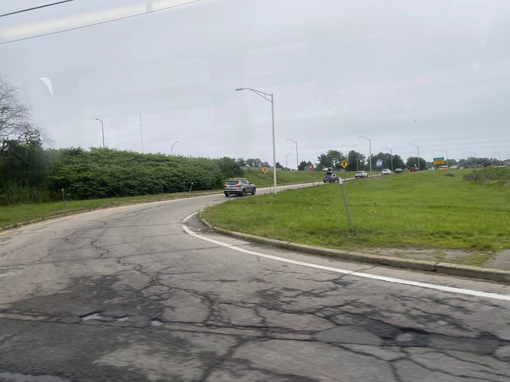
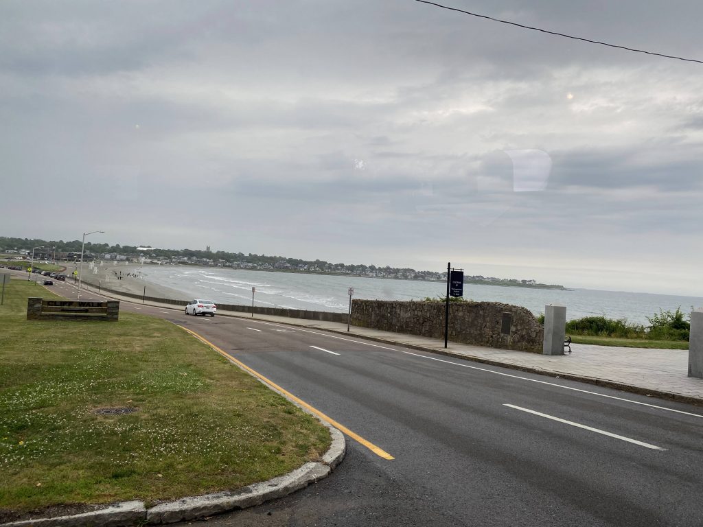
Well, for one, the driver was clearly jamming out to B101 on the in-vehicle radio. Would I blame him? Not really. So, going from Kennedy Plaza to the ferry terminal on India Street is the goal. From here, the driver basically floored it to the Convention Center and- oh no, not the jiggling.
Oh no.
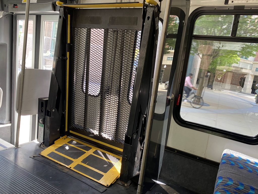
The 2015 model Flex vans didn’t even have this issue, or any Flex van I’ve ridden, so it’s probably just this one model. Still, it was annoying. And, holy crap, it’s got actual ridership. A party of 5 got on the bus to catch the ferry. And, they’d be here the entire time with noone else getting on. From here, we hightailed it down Empire Street and Chestnut Street, and turning left onto Point Street
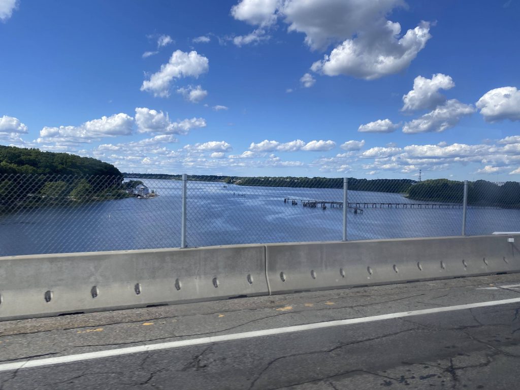
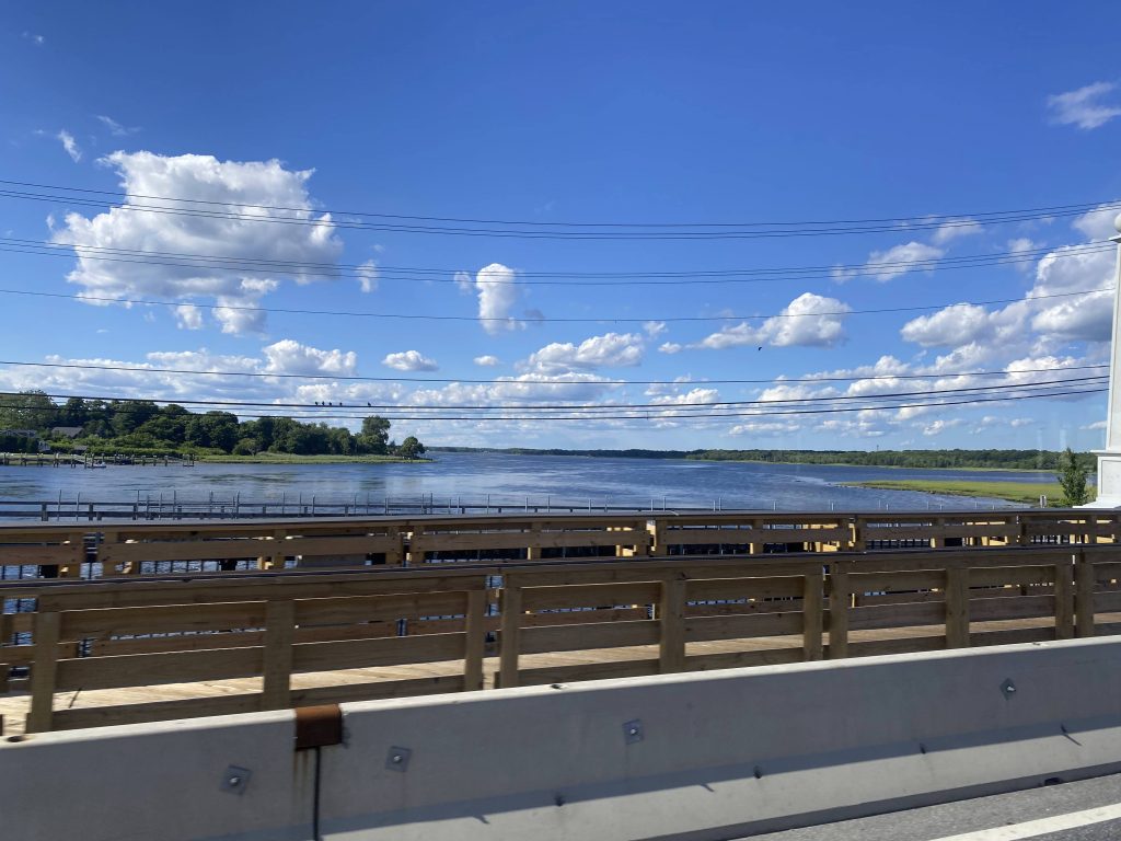
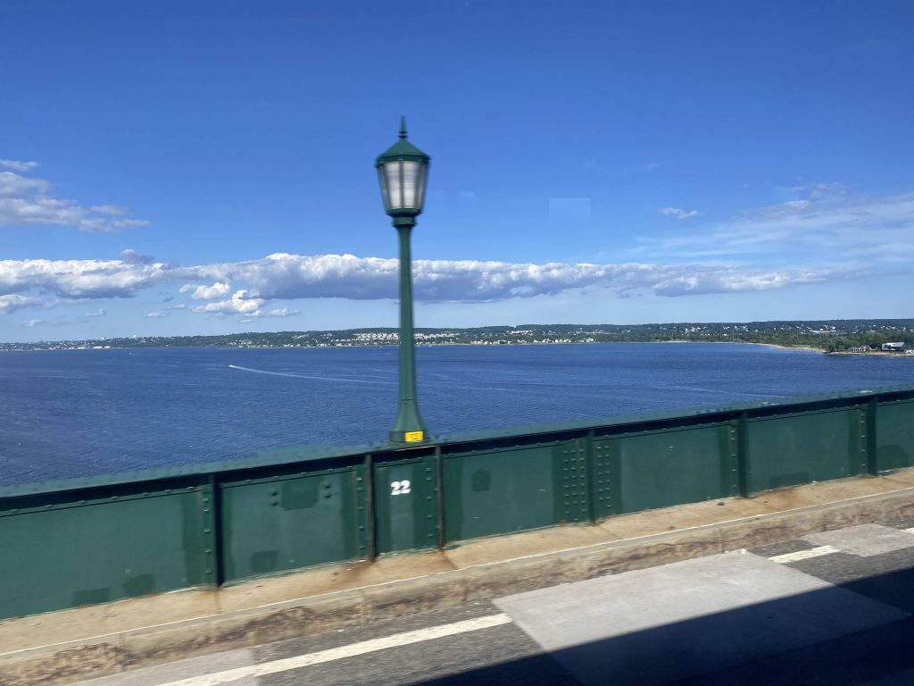
Crossing the Fox Point Hurricane Barrier, a quick right down South Water Street and to India Street brings us to the route’s end, at the Seastreak ferry terminal.
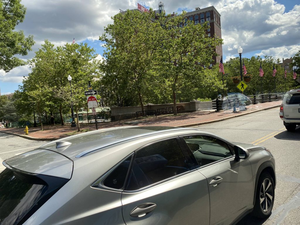
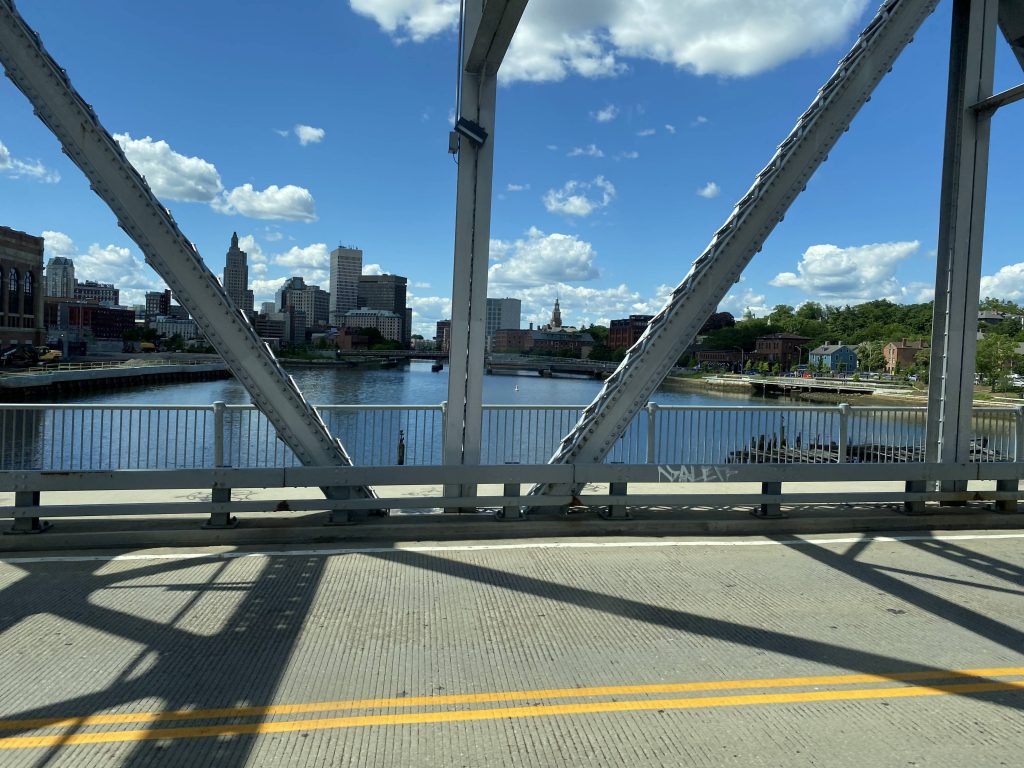
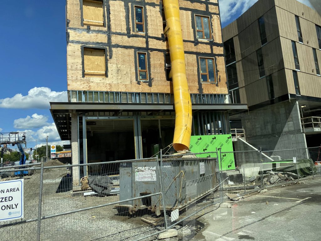
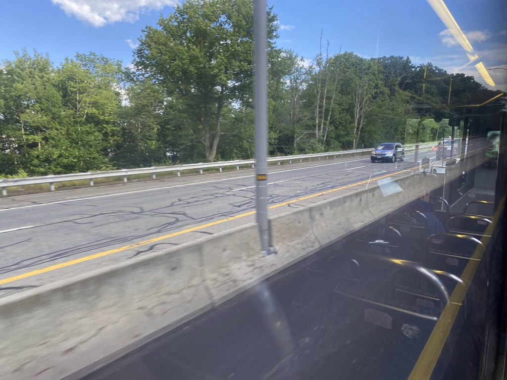
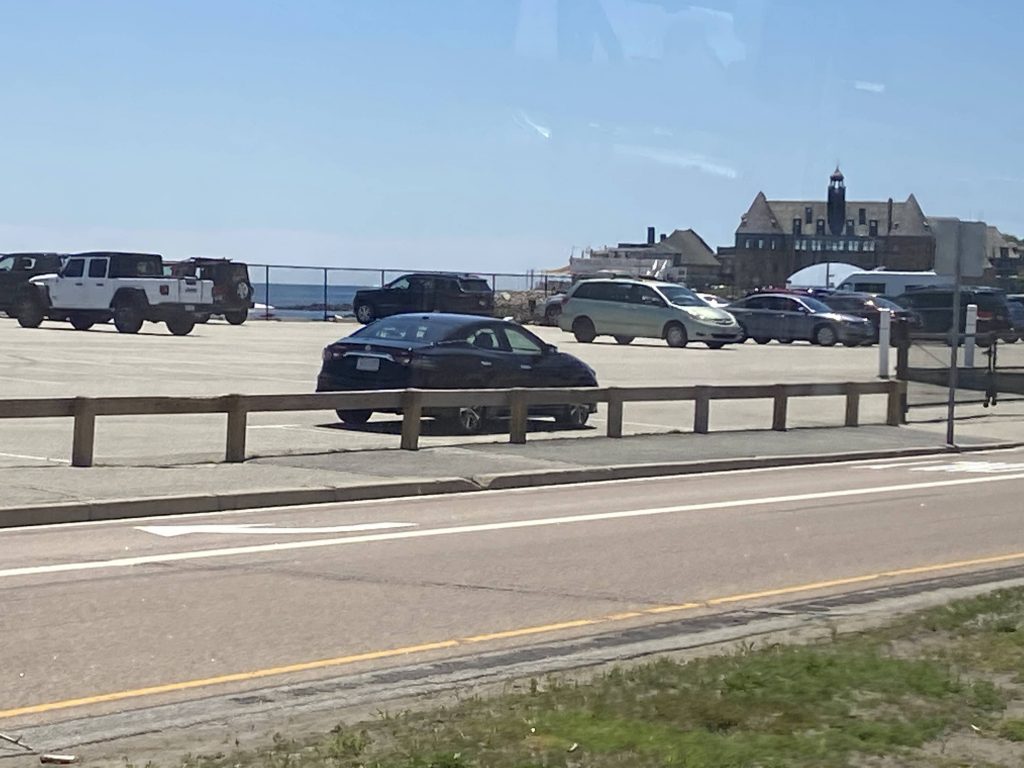
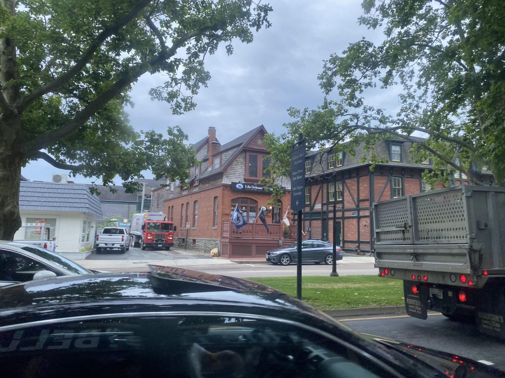
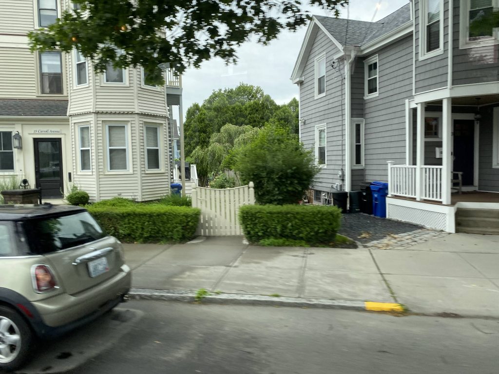
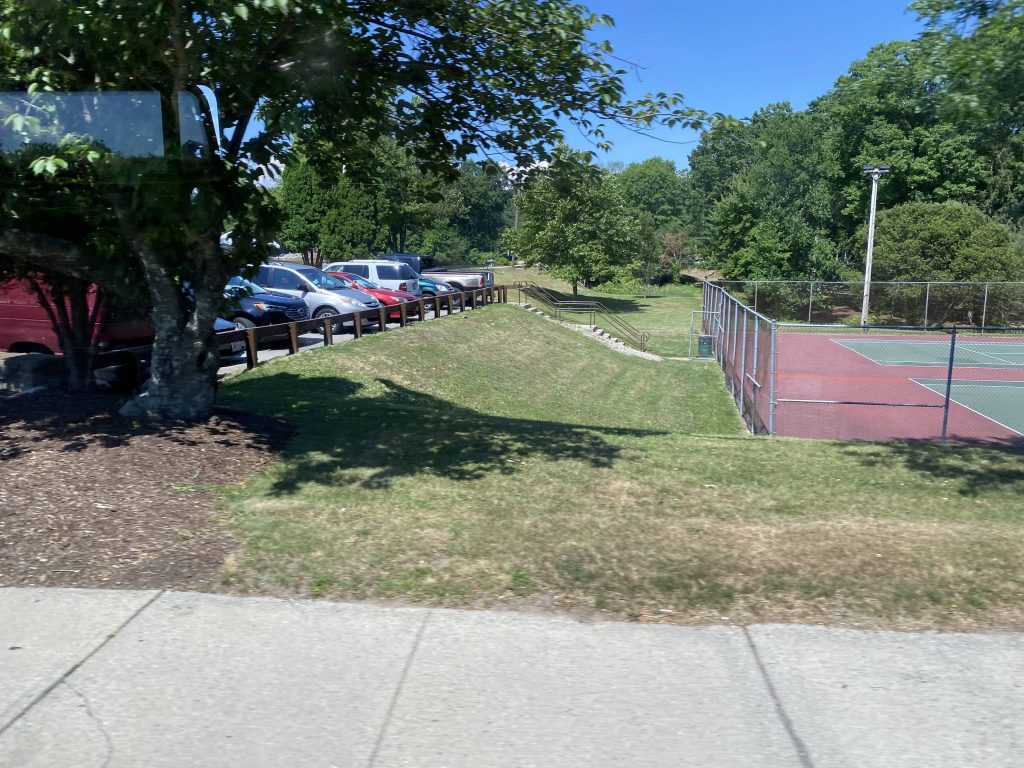
The city from afarConstruction!The bus – it’s essentially a special-wrapped modified Flex van
The good: It’s a free shuttle (that is, free @ point of use) linking downtown to the relatively isolated ferry terminal! It’s also quite comfy, which seems to be a trend with the RIPTA minibuses (like with Flex, and I presume RIde). I like these buses, I really do. And, given the current economy, it’s a great deal for those looking to leave the car behind to go to Newport. It also times well with the ferries – scheduled to arrive at the terminal 15 minutes before departure!
The bad: Even though my trip’s an outlier, not a lot of people use it. Plus, I feel like more runs could be useful, with one arriving 20 and 10 before a scheduled departure? However, there’s also free parking at the terminal which doesn’t help this shuttle’s ridership. Also, the jiggly wheelchair lift. I hate it.
Nearby points of interest: Downtown and the ferry terminal, really.
Overall, it’s not bad. I like this. I just hope more people uses it over the summer, especially given the current situation with fuel prices. If you’re ever downtown and want to ditch the car, I’d recommend this as an option for getting to Newport.
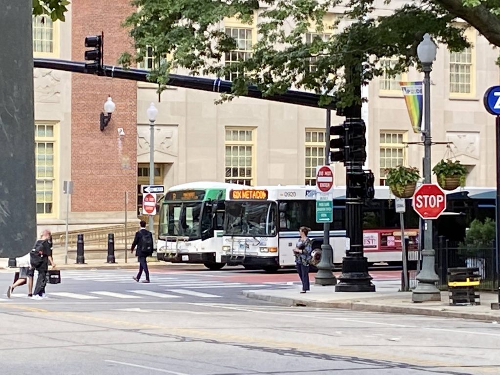
Say, you know how most express routes generally run mostly on freeways? So, what if you took that, and threw it all out? Well, meet the 61X
WARNING: copious amounts of caps ahead. Read with caution.
Oh god, the headsign is in all caps. That’s always a good sign of things.
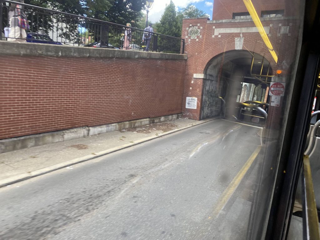
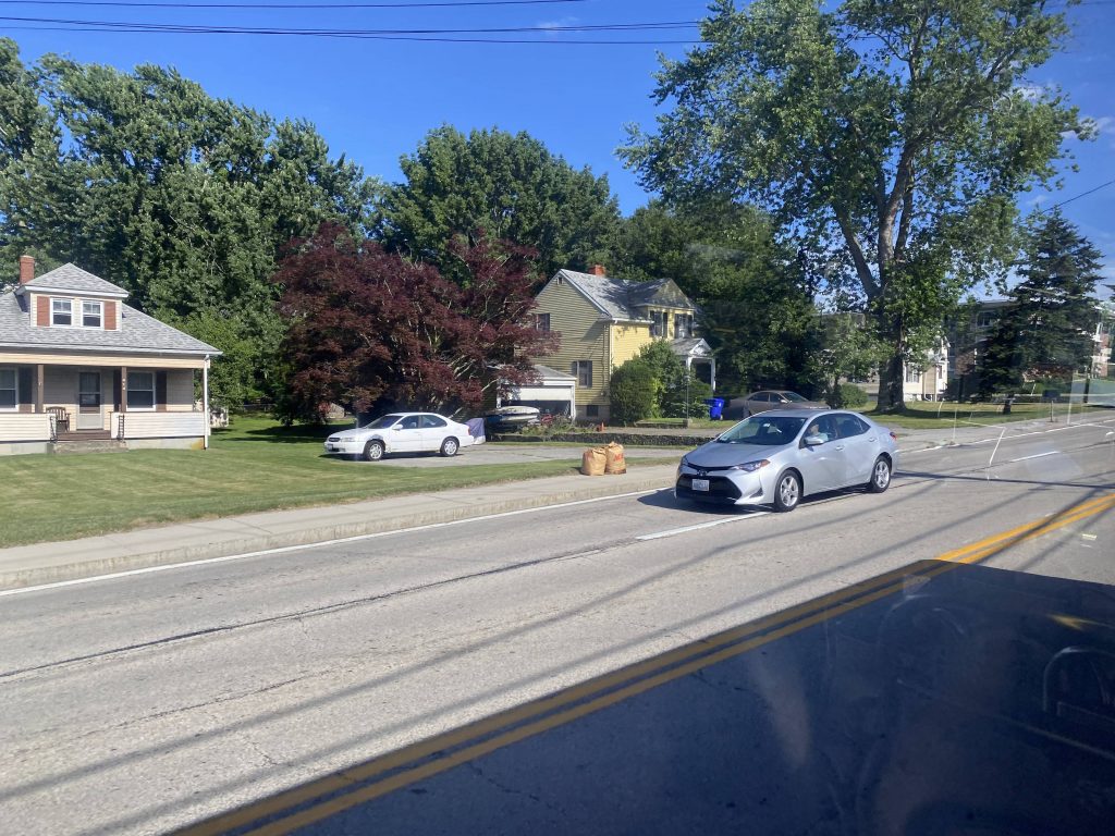
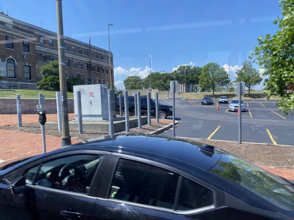
So the route, of course, begins with the Downcity Loop and Kennedy Plaza. From here it go- wait, what?! Why are we going back into Kennedy Plaza?! Oh for God’s sake…we’re going into the East Side then, I guess. So, instead of going straight onto I-95 like any sensible express, we go into the dark depths of Providence’s East Side!
Why are we going back into Kennedy Plaza?!Into the depths of Hell, I guess.Weird place to be on an express bus in.
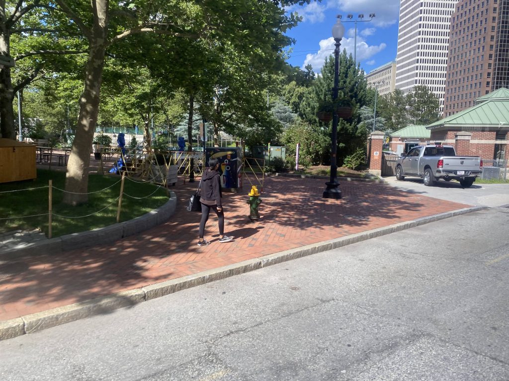
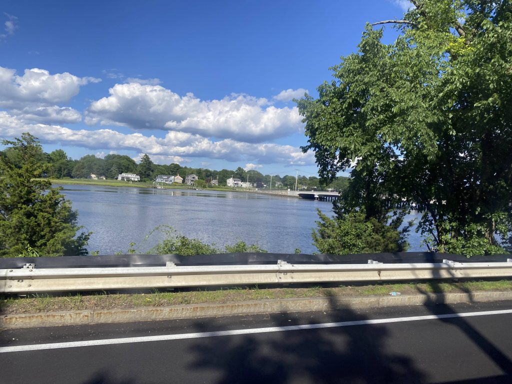
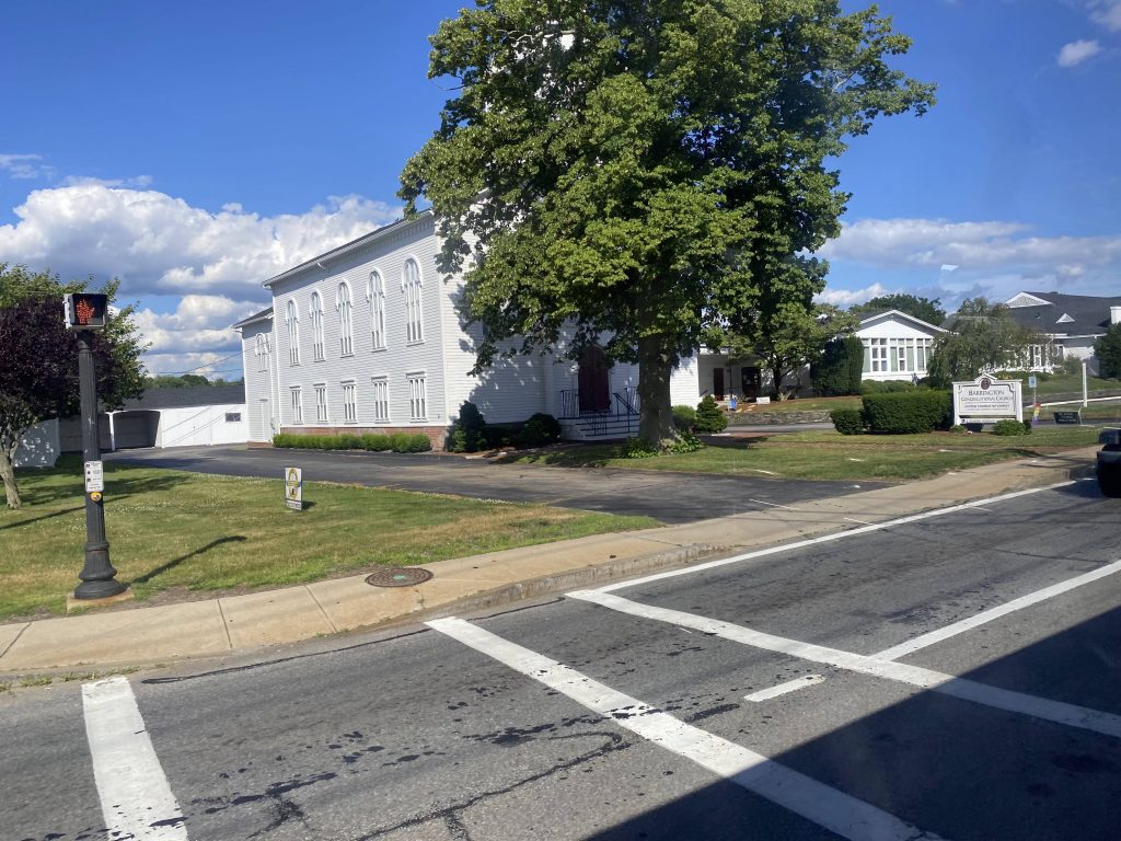
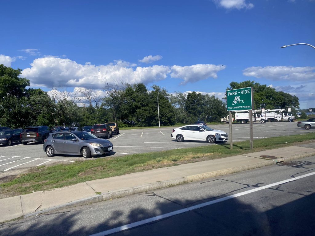
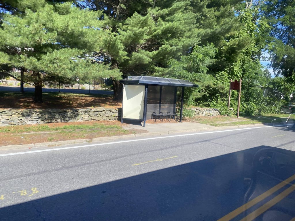
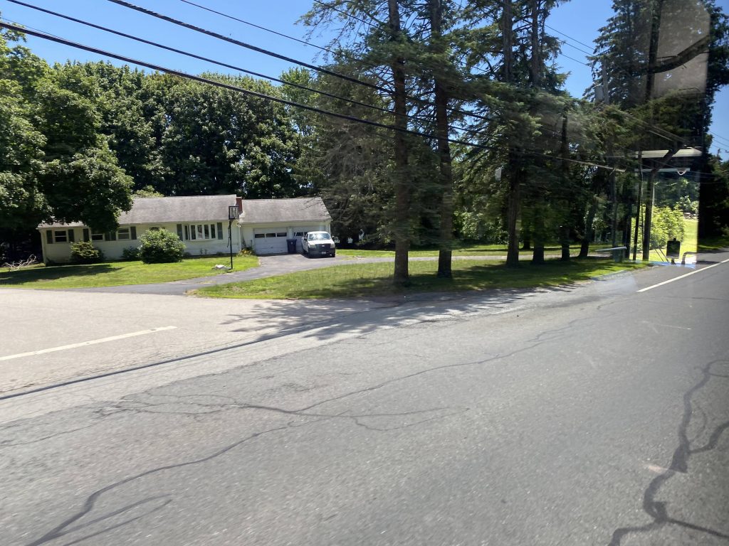
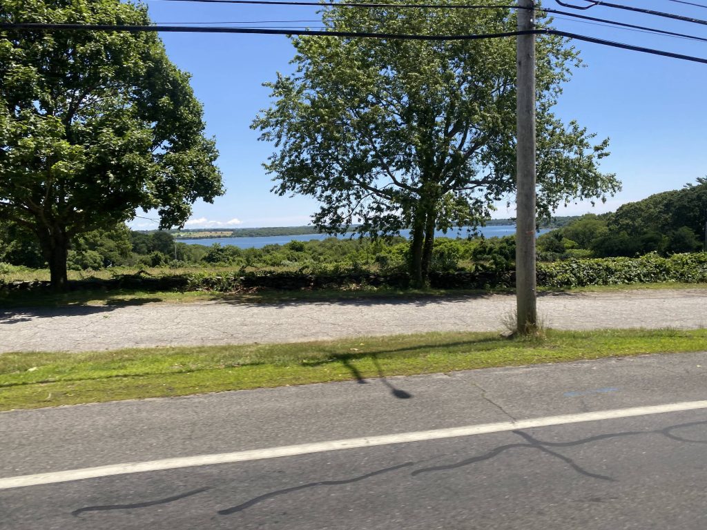
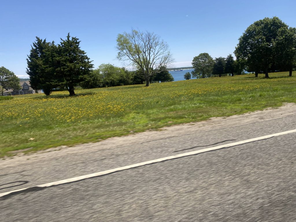
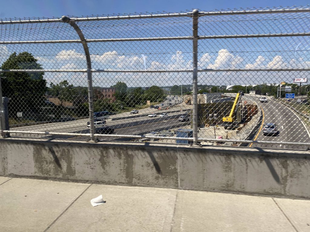
So, we popped out of the East Side tunnel and went down Waterman Street and across the Henderson Bridge like any East Side route. But, we stayed on the East Side expressway to the second exit! Oooooo! From here, we take a right and bisect the bowtie junction of East Providence. We then go left, and left again and HOLY CRAP WE’RE EXPRESS! FINALLY! We then continue expressing down the East Shore Expressway and right into our first park & ride: White Church, Barrington.
More East Side stuff, I thinkScenic!Not today!This is what happens when the good kind of NIMBY has their way.East Providence!Under the bowtie!I-195!A dress shop!Finally, express!!!Down RI-114!An intersectionEmpty freewayScenic!Near White ChurchThe churchThe associated park & ride lot!
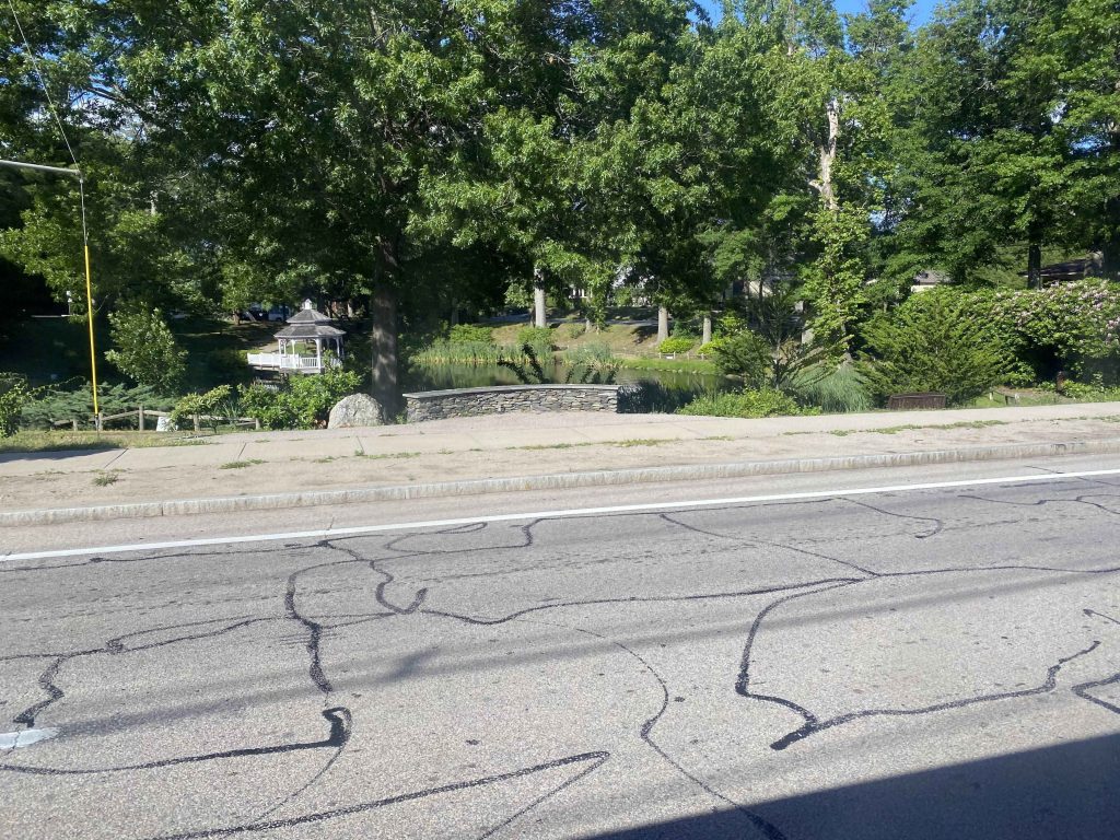
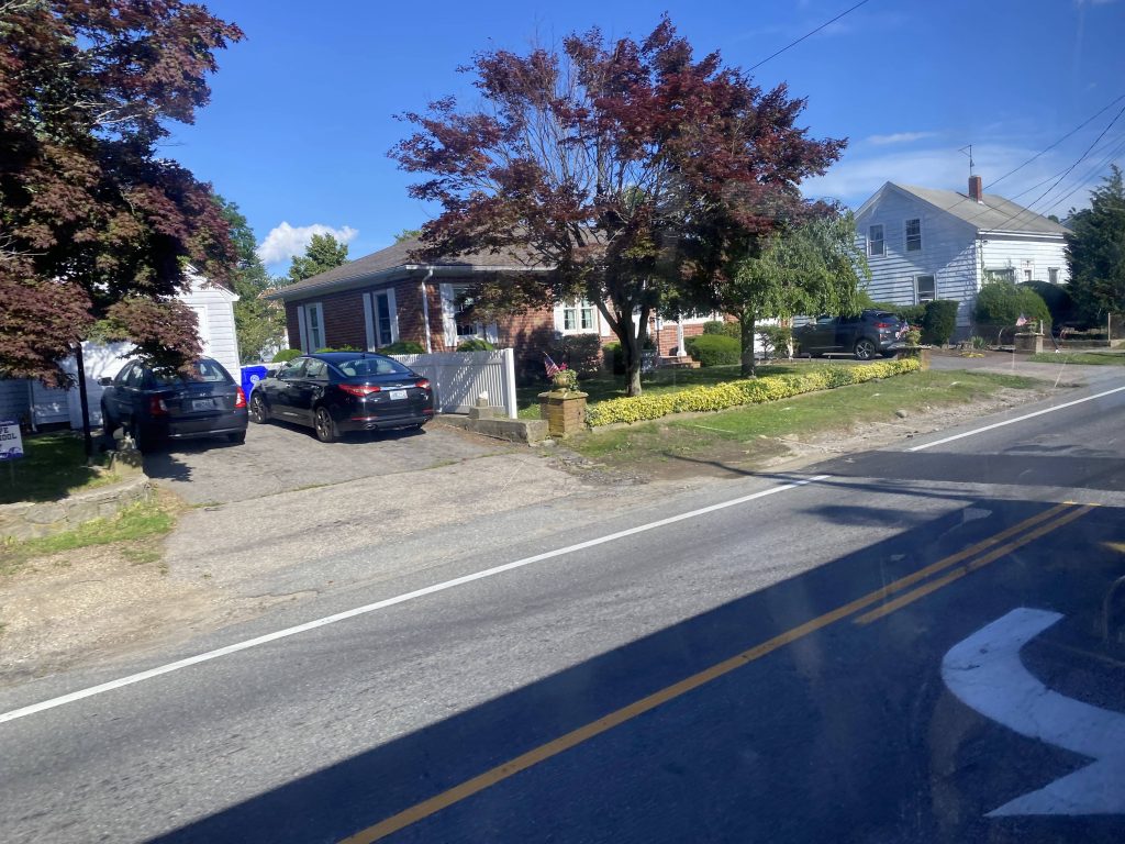
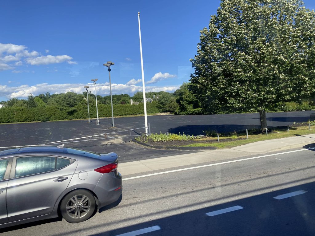
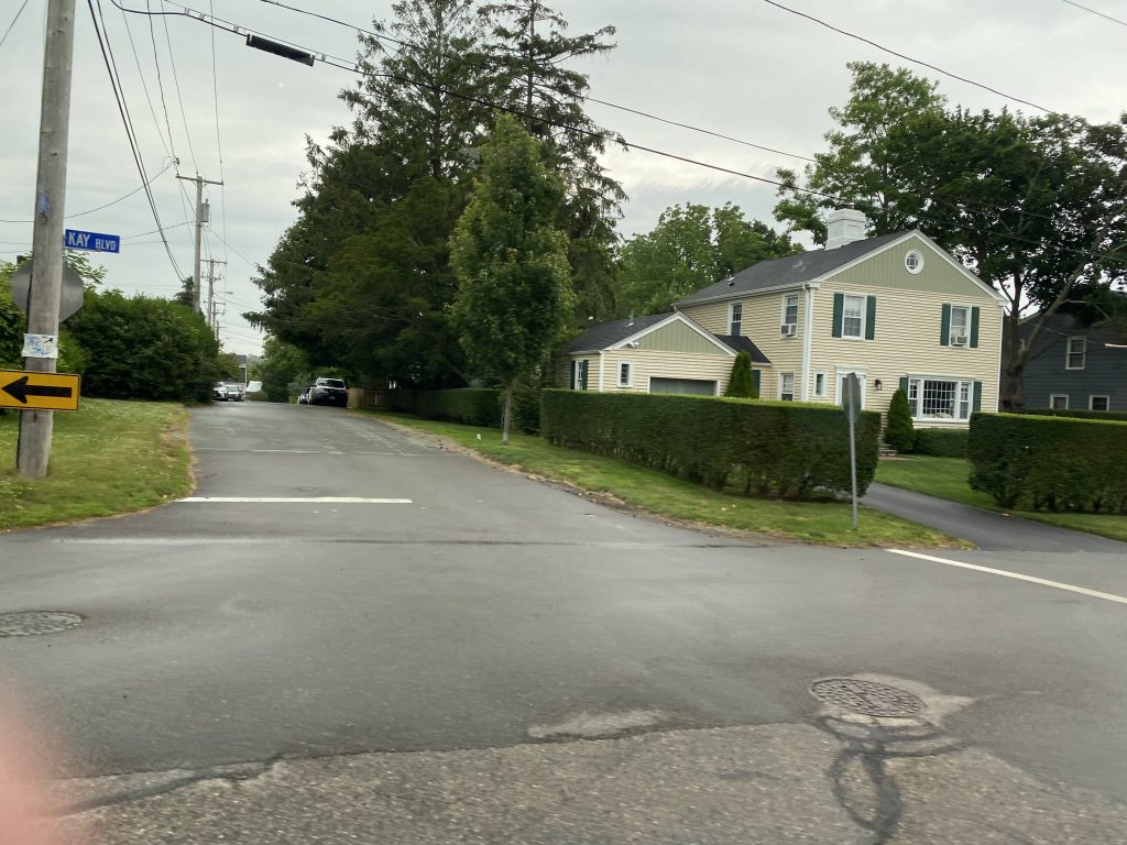
The route then largely follows the 60 through Barrington and Warren. However, past Police Cove Park, the route goes left down Franklin Street and towards another park & ride lot, not served (but within walking distance) by the 60. Further up the street, and a right turn later, we were on Metacom Avenue.
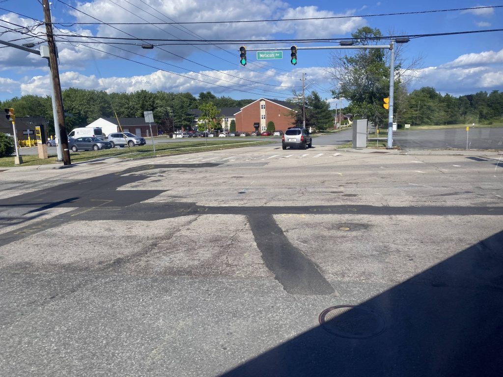
BeautifulMore water?!Some stuff in WarrenAnother park & ride!Metacom Avenue!
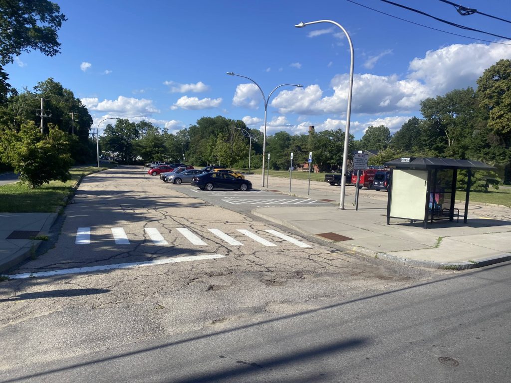
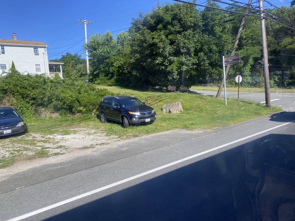
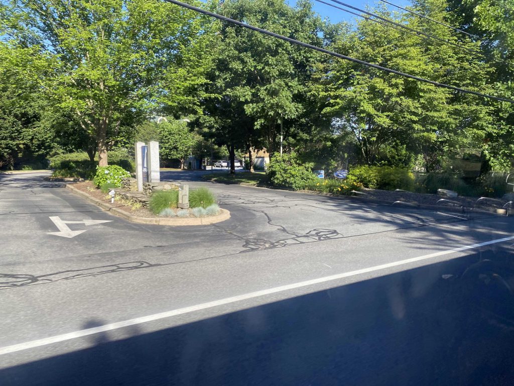
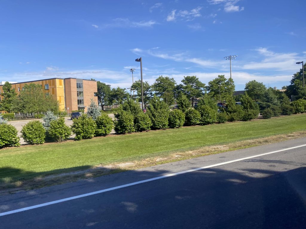
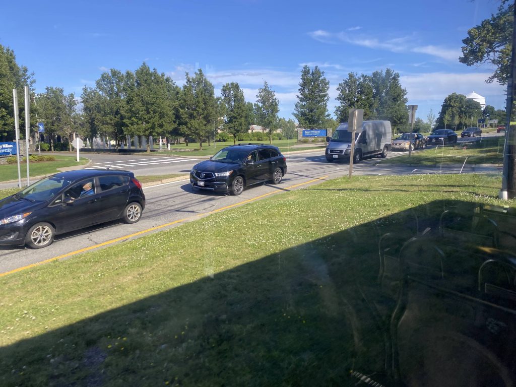
From here, it was largely a straight shot down Metacom Avenue, passing by bogstandard houses and businesses. Sadly, none of the historical town center stuff that the 60 gets. Not that it matters. Also, why isn’t there a non-express Metacom route?! I mean, I’m sure the 60 used to come down here, but like, why isn’t there an abridged version of said route? I’ll get into details later. After a long ride down Metacom, we finally reach Roger Williams University …with an announcement for Tower Hill Road and Phillips Street? Wait, are we in Wickford now?! The driver then asked me if I was going all the way to Tiverton. I said no, since I needed a way back without the risk of being stranded. And, it was at the Boyd’s Lane park & ride that the trip ends. However, I have been to Fish Road before, on the 24L. That’ll be the last pic among the ones below.
yawn.Bus shelter largely unused throughout the day.Oh my, more houses!Oh my, an empty car lot!A field.A shopping center. There was a Stop&Shop on the other side, if I remember right.A fire stationDunkin’!More of the sameAn apartment complexRWU!See ya!Woah.End of the line (for me)The true end of the line
The good: It’s a sorta-express link to Providence via the East Bay and Tiverton! There’s also an early morning and early afternoon reverse trip (outbound am, inbound pm) that serves TPI Composites in Swansea, MA. Speaking of which…
The bad: Why are the reverse runs more express than the normal ones? And no, I’m not doing a part 2 for those runs. Furthermore, why does this route, not the 60, go through the East Side and East Providence?! Just, why?! And plus, stop X is literally where it is for a reason – SO ROUTES CAN JUST FREAKIN’ PULL OUT STRAIGHT ONTO I-95 INSTEAD OF BANGING A U-TURN TO GO INTO THE DARK FREAKIN’ DEPTHS OF THE EAST SIDE! At this point, just have a Metacom-centered route that connects at the Boyd’s Lane park & ride, and at the Shaw’s in Riverside at the 33’s terminus. Shoot, forgot I had bold/italics on for all that. Oh well. “Oh but they did it to consolidate the 60” you might say. WELL WHY DIDN’T THEY MAKE THE 60 LESS EXPRESS THAN THE 61X?! THAT’D BE LIKE IF THE 95X RAN LOCAL ALL THE WAY DOWN THROUGH CHARLESTOWN AND WAKEFIELD INSTEAD OF DOWN I-95 CLEANLY.
Nearby points of interest: Tiverton….with little in the way of getting out, save for the 24L (if you can time it right). There’s also the stuff along Metacom, which should be served regularly instead of weekday peak-only.
Overall, what were they thinking with this?! Like, it’s hardly express, and the route it’s supposed to be more express than, is more express than this! What the hell, RIPTA?! Here’s how I’d fix this. I’d make a route that terminates at the Boyd’s Lane park & ride lot, go up through Metacom Avenue, deviate into Stop & Shop along with Job Lot, and go down Market Street (saving Franklin Street for the 61X only). Then, go up RI-114 to the Shaw’s plaza and either end there, or keep going up and go down Willett Avenue (U-turn required) and end at the Shaw’s there, providing a connection to the 33 (Riverside)33. Call it, I dunno, the 36 or something. At least it still serves an important purpose, being to link Tiverton and Little Compton residents to Providence via transit, given that area is largely forgotten about in state politics.
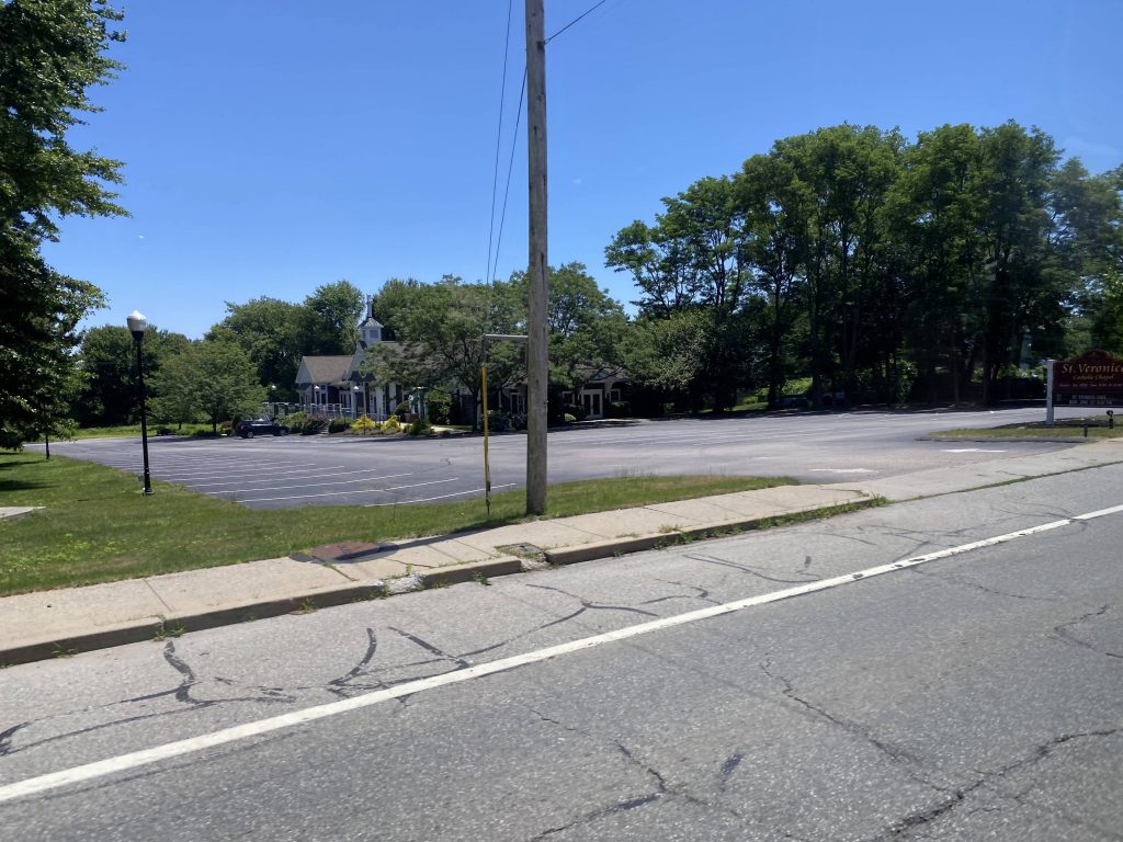
Alrighty, just like the 60, there’s also an alternate path that’s significant enough on the 14 to warrant a part 2. This time, we start at the park & ride at RI-138.
Rte. 138 – no express today!
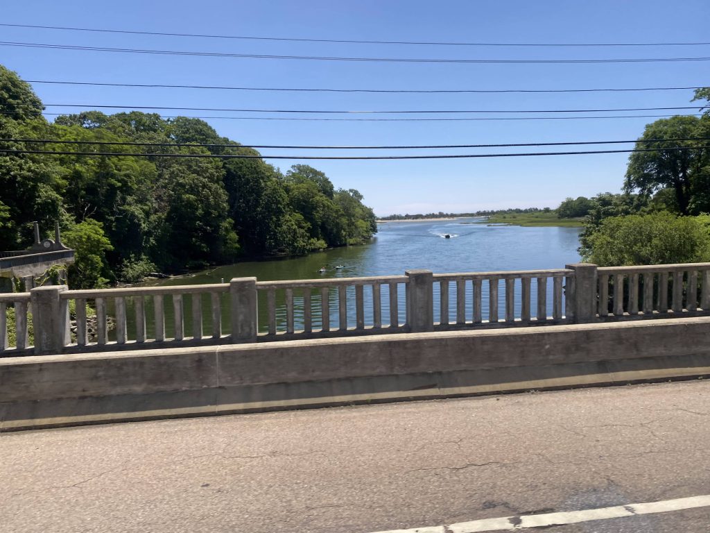
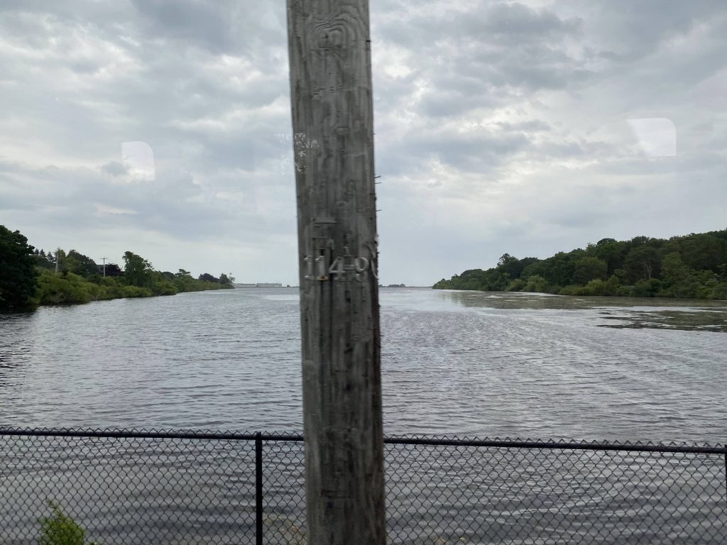
The route splits off by not going express, but rather going straight down Boston Neck Road further. It’s still rural with some houses here and there, and unlike the 64, we got to skip the URI Bay Campus deviation. We kept running express-like, heading down Boston Neck Road and the various buildings along the road. We crossed the water and OH CRAP THERE’S A BEACH?!
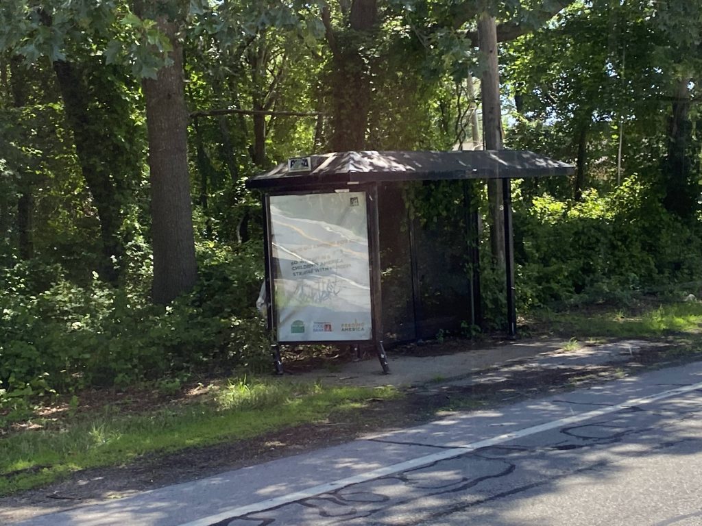
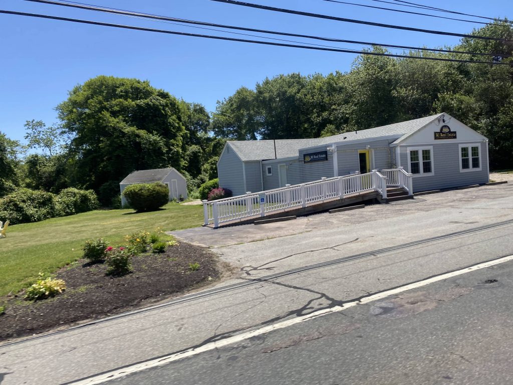
Rural housingOcean!Weird spot for a shelter, but okay.Cumby’s!A church!Bonnet Shores is down here. Rich people too, probablyAn empty parking lotThis may as well be a McMansionMore ocean!A real estate officeNearing Narragansett!Narragansett Beach!There’s “The Towers”, apparently the remnants of an old casinoSome housing in the areaThey apparently want a library hereIdk what this is. Housing, probablyAnother side streetThe end of the route (or rather, just before it)
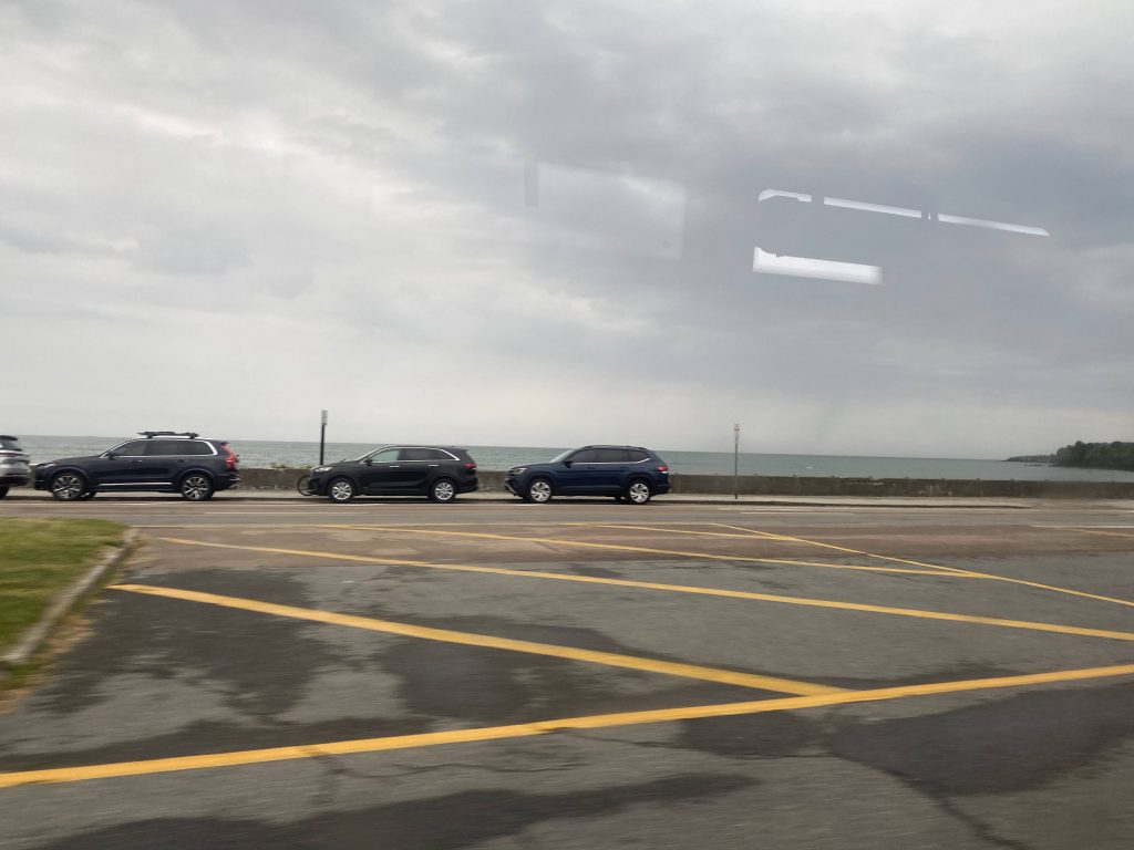
Yes, we entered Narragansett Pier. And, in fact, it’s among the most popular beaches in RI. However, we didn’t go through the coastal part, and instead we took a couple of turns through side streets. From here, we turned onto South Pier Road, which then emptied out at the route’s terminus at Salt Pond Plaza, in Narragansett.
The good: Aside from the stuff specific to the shared section, it’s a direct link between the park & ride and points north to Narragansett. It also serves one of the most popular beaches in the state!
The bad: Two hours between buses on weekdays?! With only a handful of trips on the weekends?! Yikes. On Sundays, these runs don’t even run at all! It’s also the longest regular-running route in terms of runtime.
Nearby points of interest: Narragansett Pier is the big one!
Overall, it’s nice that a link to Providence exists that doesn’t involve URI. Hell, there’s one trip each way that comes here that involves a deviation into the Greenwood Church up in Warwick. Or maybe that was a Newport trip, I don’t remember. If anything, I’d turn this one into a Wickford-Narragansett route, and re-route the Newport runs to go through Wickford Junction. It’s clear that one’s the more frequent route, while Wickford to Narragansett could be its own route.
Rating change from original (Newport branch): 4/10 (-1 point)
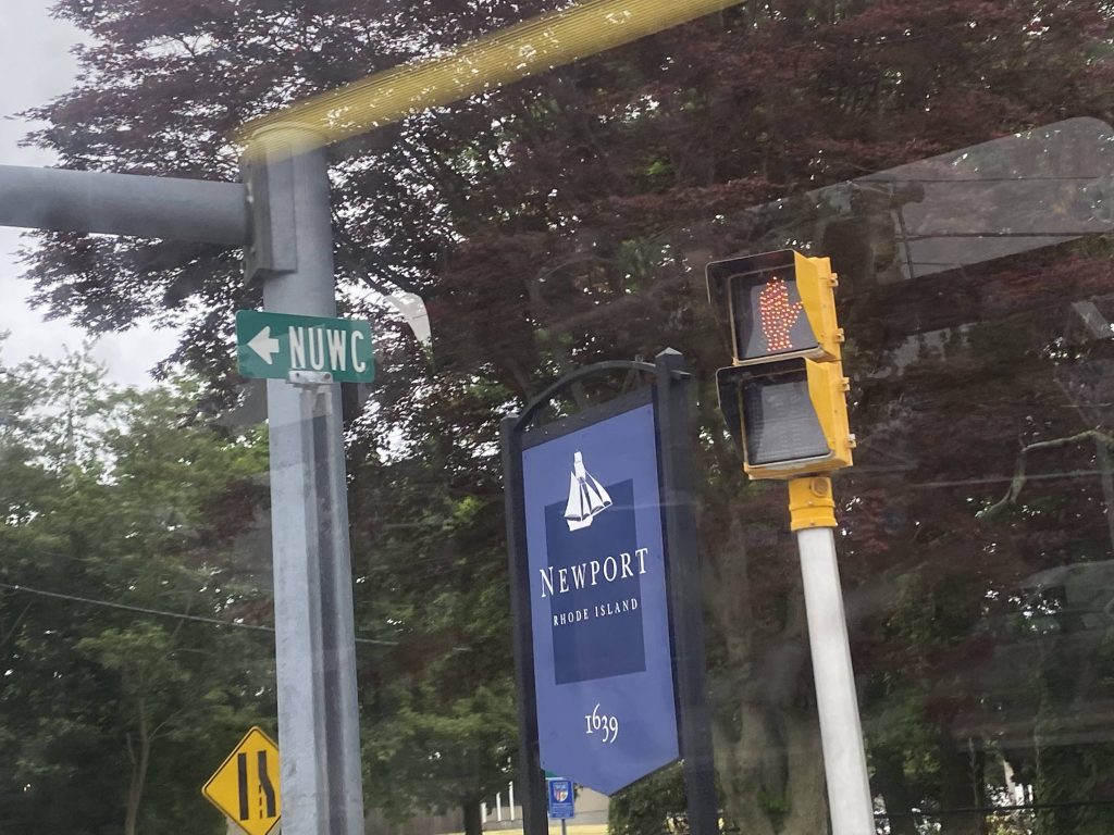
Oh no. No. Not the 63. As Miles put it in his post, it’s the “drunk snake” of Newport. And, after riding it myself, I have to agree. One could also call it “whiplash central” with how many times it bends.
Clearly this is at a park.Houses somewhere nearby.
I honestly don’t even know where half these pictures were, because the route is so disorienting. So, I guess it’s time for me to get started with describing it. Outbound, it starts at either Stop & Shop on West Main, or at Oxbow Apartments a block up the street. Now, not all trips serve Oxbow, and barely any serve it on the weekends. And even then, not every trip deviates INTO Stop & Shop. Yikes.
Still don’t know where this was .-.
We’d eventually turn onto Coddington Highway. However, outbound trips, for whatever weird reason, instead turn right and left onto EAST Main. What?! Then it’d go down Valley Road onto West Main. Like, what were they on?! Was a simple left onto West Main not good enough?! Well, whatever, going down Coddington Highway, we …deviated into the Newport garage?! Oh come on! Oh, it’s a shift change. Understandable.
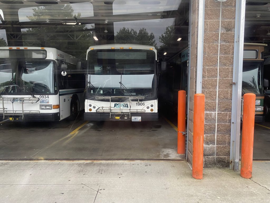
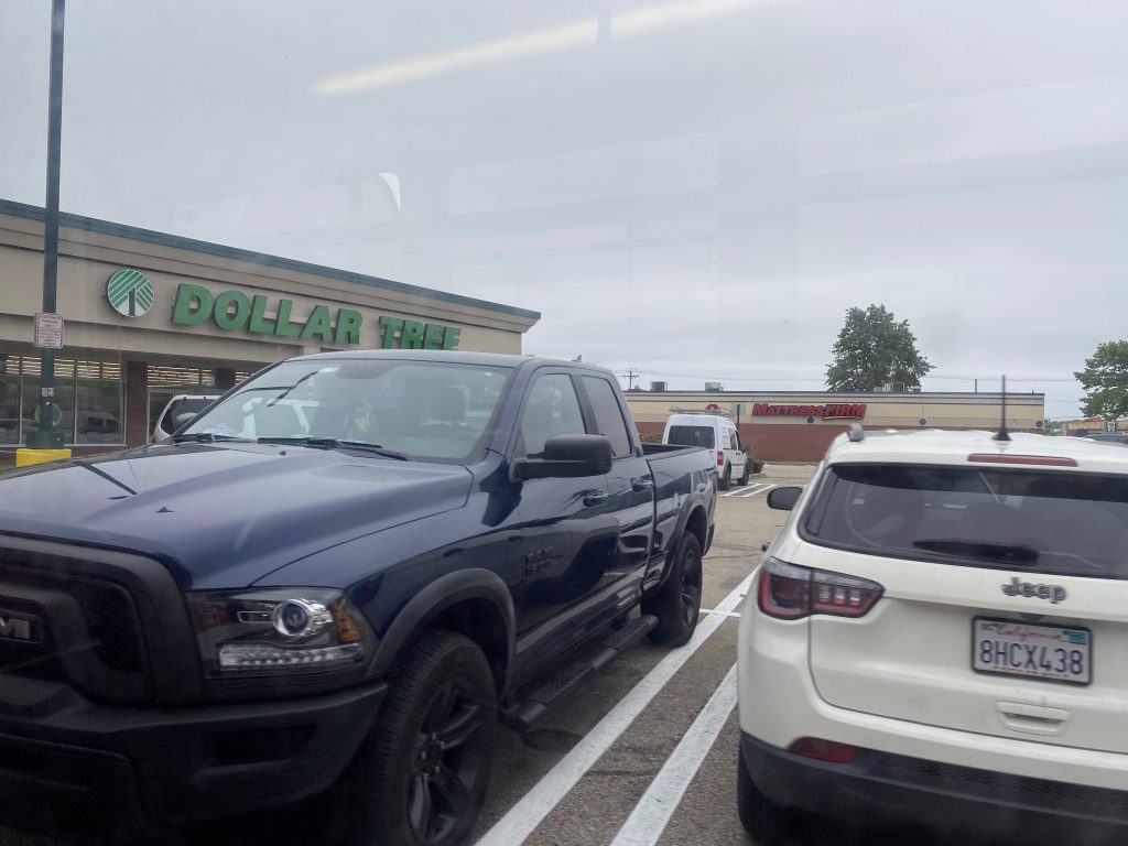
I think this was nearby.One of the streets.Home Depot and a Dollar Tree!Some apartmentsThe library, probablyOnto Coddington Highway!Looks top seeeeeeecret#s 934, 1906, and 1010!
We then pulled out with a new driver and the real fun was about to begin. We passed the Newport CCRI campus like normal, then deviated into Town Centre. It was here the fun began. We went in a complete circle, 3/4 around a roundabout onto Admiral Kalbfus Road, then we went in what was essentially a U-shape to serve the road behind the Newport CCRI campus. Yeah. This route can’t make up its mind, other than wanting to give whiplash.
Grass.Same Tree as from the 64!Unionize!No express for you today!An apartment complex!Behind CCRI?!The same park from earlierWhat’s “NUWC”? Is that some curse word?Broadway housing!They named a street after Bill and Hillary?!
We were then on Broadway, and it was a straight shot to the Gateway Center, hopefully. And, indeed it was. It was a straight shot to the Gateway, thank God, and the painful route has ended.
No LGBTphobia allowed in the comments!ADA parking?Near the Gateway Center
The good: It serves quite a bit, along with a number of apartment buildings. Plus it’s the most-used exclusively-Aquidneck route with 720 daily riders as of 2019.
The bad: …why is it so damn bendy?! WHY?! Never mind that, why does not every trip deviate into Stop & Shop, and not every trip go to Oxbow?! Furthermore, why is East Main only served outbound? And, the biggest headscratcher is this: Why is there a Saturday-only, outbound-only deviation to West House?! Who’s gonna use that?!?! And why is the route so freakin’ bendy?! Also, Sunday service kinda sucks, with only six(!!!!) total round trips, spread out every 85 minutes!
Nearby points of interest: CCRI, mainly.
Overall, it is, as Miles said in his take of this route, a drunk snake. More like freakin’ Whiplash Central! I hope it gets straightened out (quite literally) in the future.
Alrighty, so you want to take a tourist trolley in Newport? Well, this would be your go-to. Think of this route as “What if RIPTA ran a literal tourist trolley?”, because that’s essentially what it is.
Onwards out of the Gateway Center!
So the route begins like the other Newport routes – out of the Gateway Center. From here, we went right and onto Marlborough Street, only to go down Thames Street. From here, we went down Touro Street and past Touro Synagogue. Fun fact, that’s the oldest synagogue in America! We’d then turn down Bellevue Avenue, where we’d largely stay for the rest of the route.
Not very historic.A little better.Not the best photoAn old houseOne of the many sights near Bellevue!
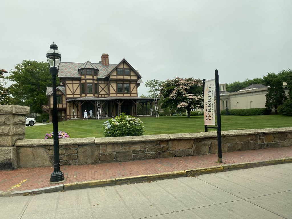
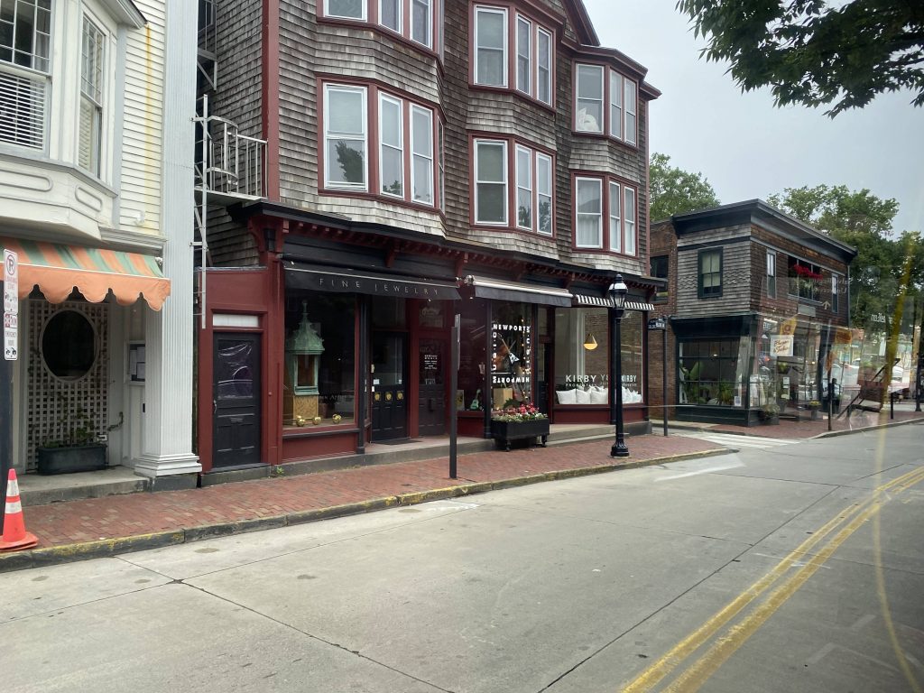
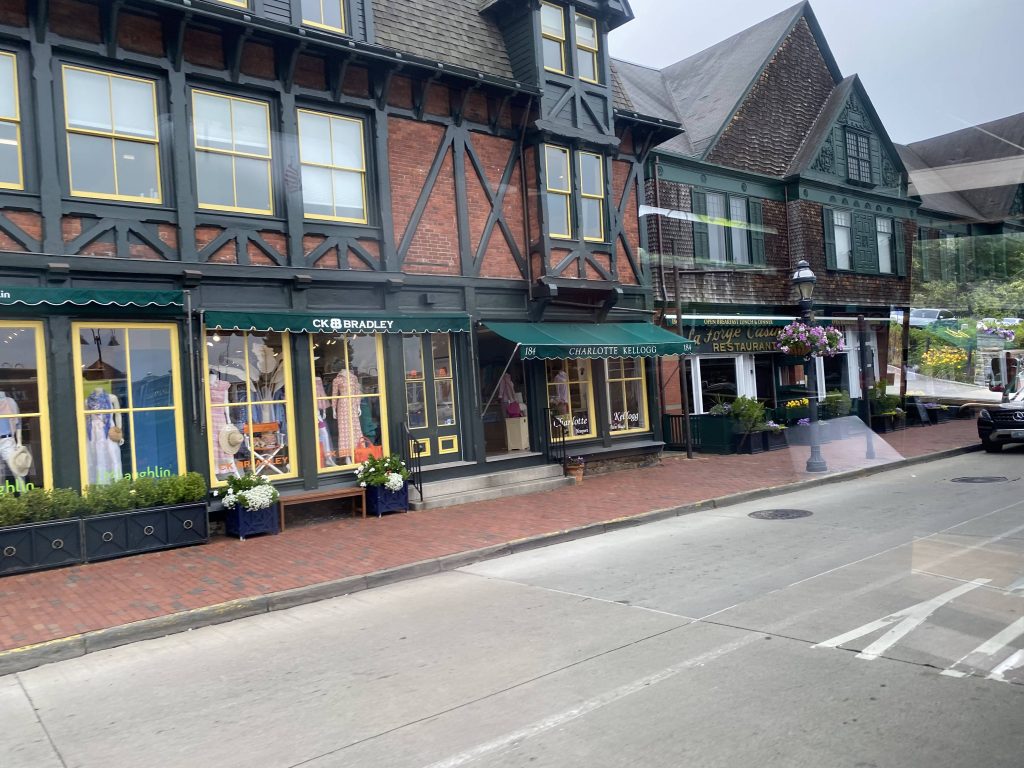
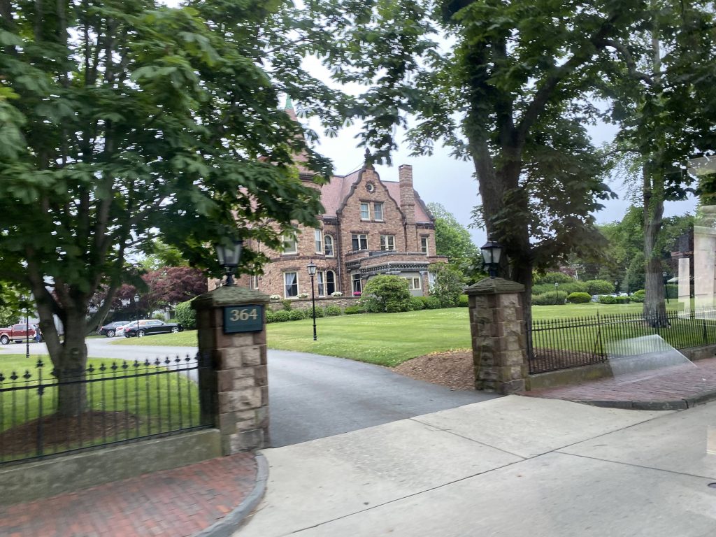
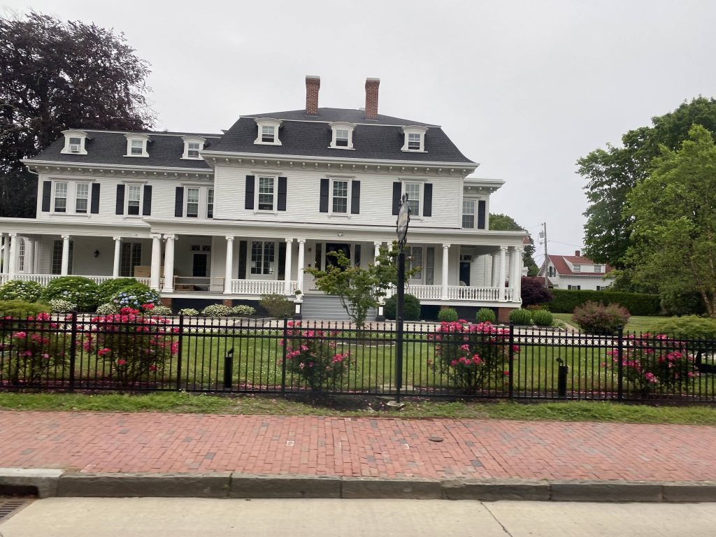
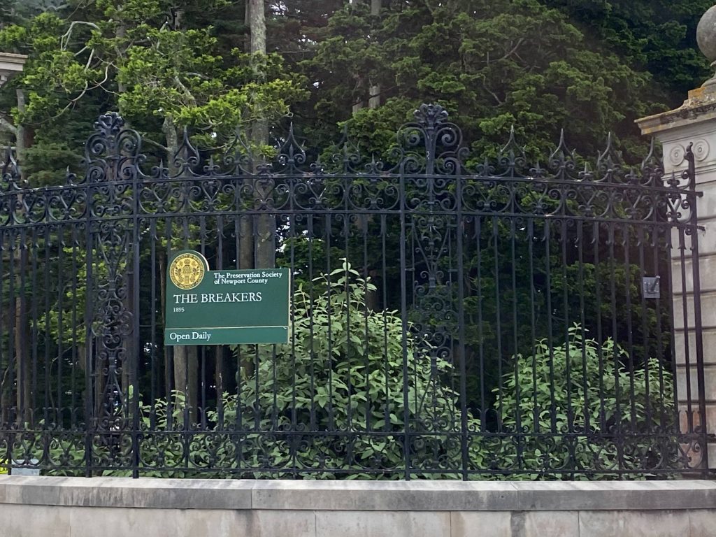
Going down Bellevue, past the shopping and Tennis Hall of Fame, it was filthy rich. Like, I mean $$$$$ levels of rich. Yeah. Fortunately, we did pass some tourist spots. Namely, they were the Breakers, the Elms, Rosecliff Mansion, Rough Point, and the Marble House. The end of the line was marked by the southern end of the Cliff Walk. Salve Regina University was also mixed in. However, unlike normal outbound termini, we were allowed to stay on the bus for the return trip. The driver was also largely a tour guide of sorts, in a way, and stopping at all the major tourist attractions. See why I called this a literal tourist trolley but instead operated by RIPTA?
More businessesNear the Tennis Hall of FameMansions! I think this one houses an actual personFancy!Not so much.Salve Regina!A sign for the BreakersA side streetAnother mansion hidden awayAnother one!End of the line!Oh look, another bus!
The good: It’s a direct link between the Gateway Center and the mansions! This area’s quite the hotbed for tourism, especially during the summer months! In fact, the bus was almost packed with tourists both ways. It’s also frequent enough to be designated a key corridor, being every 20 minutes, and every 15 on weekends. Ridership is also pretty good during the tourism season, with most buses being packed full of tourists.
The bad: …pretty much noone rides this during the winter, which raises question to the 20 minute frequency. Is it really necessary, now that they did away with the seasonal restriction? Who knows, maybe I’m wrong.
Nearby points of interest: …really? You’re really asking me this for a route literally targeted at tourists?! Well, since I have to fill out this section, I guess I gotta give the “no shit, Sherlock” answer of “the mansions”. There.
Overall, it’s a pretty good route. Among the best in the system especially for what it is, being a tourist-first route. It’s also quite nice how the fares are free (paid by the city’s tourism board) in hopes of improving ridership and alleviating worries of gas prices. If you’re in Newport, give this one a go. It’s a pretty good tourist-oriented route.
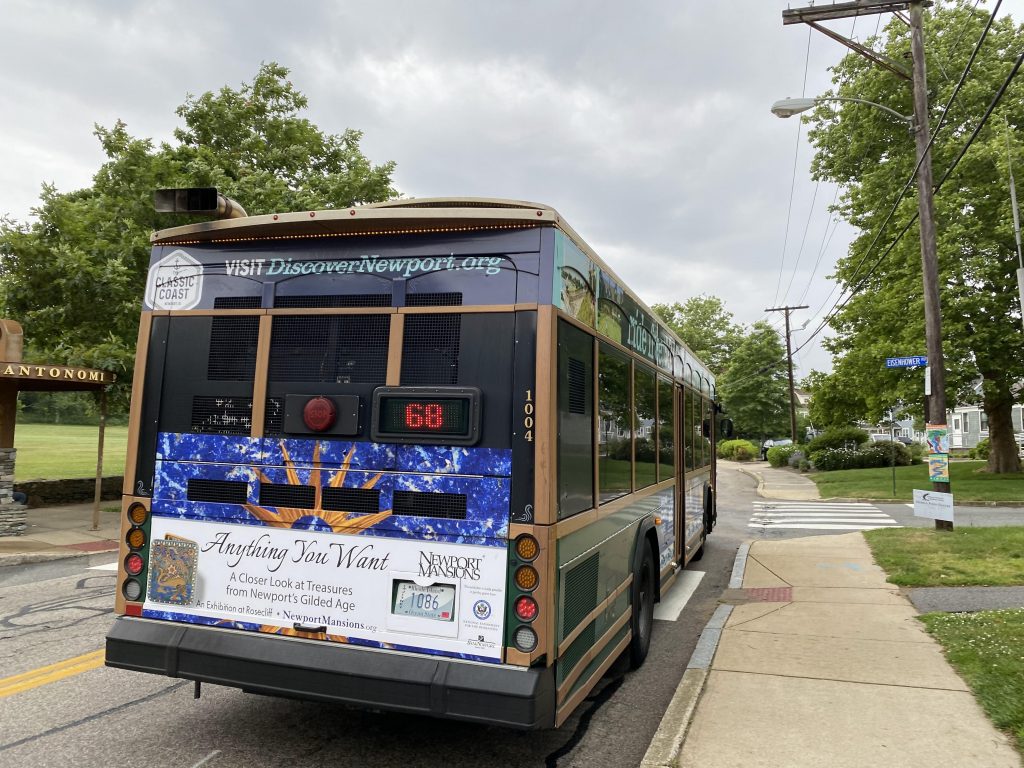
Alrighty, the first of the Newport-centric routes! And, it’s also a new route and a crosstown, neat! Will this be a good route? Let’s find out.
It uses a trolley!
So, a bit of history. It all started with a Newport Beach Bus pilot program, that served between the North End and First and Second Beaches in 2021. However, that came and went with no word on success. However, the summer 2022 service changes were then announced in March. When they were doing the public hearings for the new service changes, I attended all three of them, being the West Bay-centric one (focused mainly on the 13, 16, 23, and 29), the Pawtucket one (mainly around the train station), and the Newport one. This route was the main subject of the Newport workshop. Back when I was attending the Newport one online, someone raised questions about the original plan for the route, which was to deviate into Towne Center like the 63and 64, to which it was brought to a vote. Most people voted, saying they wouldn’t see themselves using the 68 to go to Towne Center. And, it’s probably the results of that straw poll at that workshop, and RIPTA’s planning department subsequently realizing that the 63 and 64 is good enough for Towne Center that likely resulted in the routing we have today: a Newport crosstown that goes from Aquidneck Corporate Park, past First Beach, and up Miantonomi Park to CCRI. It was also at these workshops that they essentially announced that the 68 was, in a sense, the successor to the Newport Beach Bus pilot. Fast forward to about a month before the summer service changes, and two big announcements come out of RIPTA. The first pertained to the 67: a free fare program for the 67 sponsored by Discover Newport, the city’s tourism board. The other pertained to this route: Just like the 67, it’d be the subject of a free fare program, also aimed at tourism. However, it was funded by the local Episcopal diocese. I’ll get into my personal opinions on this later. But first, onto the route now that I’ve done all the historical context.
Oh cool, a free bus! But this ain’t free like how the MBTA’s 28 is free.
The route begins leaving the Corporate Park, going down Aquidneck Avenue. This quickly turned into Memorial Boulevard as we passed First Beach. However, First Beach is only served on southbound buses, due to the location of the stop and the fact that the road isn’t pedestrian-friendly. Going down Memorial Boulevard further, we eventually turned right up Bellevue Avenue, joining the 67. At this point, we were in downtown Newport, as we kept pressing on. However, since up ahead were a mess of one-ways, we instead turned up Kay Street and Mann Avenue, towards Marlborough Street. We then deviated into the Gateway Center.
Onwards!Some grass fieldsNice painted garage door.The beach!More beach!Ah yes, historical areas. Not as crazy as the mansions though.More historical stuff!Woah.Through a park!
After exiting the Gateway Center, we went up 3rd Street, past Bayside Apartments. Further on, we’d hook a right and go through the roundabout at Admiral Kalbfus Road. Who is Admiral Kalbfus? Don’t ask me, because I don’t know. We then turned left down a side street and past Mianotonomi Park. It would then be a straight shot into CCRI, and from here would be where I’d connect to the 63.
Still fancy.Yet another old houseA parking lot downtownThe local jr high schoolA shopping center!The deviation into the Gateway Center!Darn you!Looks scary to meDilapidated buildings by RI-138.See ya!
The good: It’s an important local route, between the DHS offices and the North End, via the Gateway Center! It also serves places tourists would be interested in, most notably the Cliff Walk’s northern end and First Beach. It’s also free (at point of use) until the end of October, courtesy of the local Episcopal diocese!
The bad: …it only runs from 8am to 5pm. I’m sure there’s gonna be at least more than a few tourists who’d prefer to be at the beach later than 5pm, especially on a hot day. Hell, even a few locals, for that matter. Also, it’s a pet peeve how First Beach is only one-way.
Nearby points of interest: A lot! CCRI’s Newport campus along with Mianotonomi Park in the northern area of the route, while the southern area has downtown Newport and First Beach primarily.
Overall, I like this route. It’s annoying to ride, and the fact it only runs during a standard 8-5 business day sucks, but it could be better. For one, I’d up the operating hours to around 7 or 8pm at minimum. 9pm even, with trips ending at First Beach instead of the DHS offices. It’s also nice how a local church is paying for free fares through the end of the tourist season, especially when fuel prices are skyrocketing.
(Warning: copious amounts of caps ahead. Read with caution.)
So, the 49 isn’t good enough? The 10X isn’t good enough? You want the true lowest-ridership route in the whole system, including Flex?! Alrighty, fine, here’s your “lowest-ridership” route. Let’s see if it holds up.
The Marriott!
So, I boarded it at the Gateway Center, a scheduled stop. This bus runs every two hours, with four scheduled stops. However, one of the scheduled stops is served only once a day. Now, let’s get going. We go down Thames St. to the second timepoint, which is at Lee St., across from a Shell. Wait, wait just a hot flippin’ second. There’s NUMBERED SIGNS?! Holy crap. This one, admittedly, I didn’t notice until after the fact (looked up street view as I was writing this), but the next one was when I was genuinely blown away. We keep going down towards our next timepoint, of course noone got on and it was just the driver and I with Lite Rock 105 on the van’s radio. Wait, we’re at timepoint #2 and NOW there’s the sign! This was when I first noticed it and when I immediately told Cedric (from the Miles in Transit Discord server), and he was surprised as well, since he and I both only thought there was the lone 301 sign at Westerly Station along with all the R Line signs. And I thought this was the highlight, until some guy came out of the apartment building!
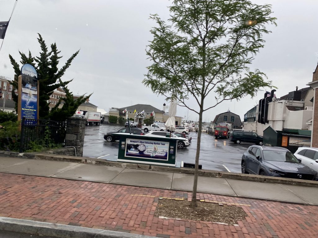
Onwards!The sailing museum!ResidentialHoly crap almighty! A numbered bus stop sign!
Some guy got out, and both the driver and I thought he was going to get on. Apparently not, however he did have questions about Flex and how it worked for someone visually impaired. Ultimately the driver just suggested he called the Flex line. We went a little further up, and started going down the side streets of Newport and, holy crap, someone ACTUALLY got on! Yeah, I was surprised by this, but someone actually used Flex for its flexing capability, presumably from an advance reservation. Eventually, after navigating the streets more and crossing Memorial Boulevard, we ended up at someone’s front door to drop the lady off. Neat! (Man, I should make a part 2 to my 242 Flex post, where I actually take advantage of the door-to-door capabilities. Arctic-Market Basket one seat, anyone?)
A park!Shocking.The beach!Suburban hellscape, but not to the extreme
After this, we turned around and started going to my requested stop, the DHS offices (stay tuned for the 68!). It was largely a mess of navigating side streets and then …we were there. Nice. The driver even dropped me off at the front door.
Pole photobomb. 🙁See ya!
…wait, what?! You mean to tell me, there’s a Flex timepoint HERE?! Yeah, when I walked up to the bus stop to wait for the 68, I noticed another sign ABOVE the normal RIPTA sign. Come to find out, THERE’S A FREAKIN’ FLEX TIMEPOINT THAT’S NOT EVEN DOCUMENTED?! WHAT WERE THEY THINKING?! Ugh…..
what
The good: It’s a Flex zone for Newport and Middletown! And, it has bus connections throughout the zone as well, with the Gateway Center buses along with the 67 and 68 at various spots. There’s also weekend service now! It’s also the only real way to get regular service to Second Beach, since normal buses are otherwise too big.
The bad: If you want to get to 2nd Beach, you’d need a reservation in one way or another. Also, why is there a Flex sign at the DHS offices if there’s no Flex timepoint?! I’d also slam it for being one-way if you want to do the Cliff Walk via transit, since one end is served by the 67, but now that the other end is served by the 68, I’m not as worried.
Nearby points of interest: You have the Cliff Walk and First Beach in the zone, along with some of downtown Newport. There’s also the Aquidneck Corporate Park.
Overall, I feel like the 68 may have rendered much of the Flex useless. However, there is one area I feel it’d be useful having the Flex in. Southwestern Newport, by Fort Adams. Why doesn’t anything go there? Or past the Marble House on Ledge Road, for that matter? And, what’s with the now-unused stop at the DHS offices by the 68’s terminus? And lastly, why does this route have weekend service if nobody uses it?! I mean yeah, there’s that one lady, but essentially next to noone uses this Flex!
Alrighty, remember how when I did the 60 initially a little ways back, I went down the East Main branch? Well, since I’m covering every RIPTA route, the West Main branch also has to be touched on. Okay? I know it’s not going to be the most enjoyable, but it’s a necessary evil nevertheless.
Oh no, not Comic Sins
The West Main section begins at the intersection of Boyd’s Lane and Bristol Ferry Road in Portsmouth, after the Mt. Hope Bridge, and as the name suggests, goes down West Main Road. However, unlike the East Main branch, which deviates into a park & ride lot on Boyd’s Lane, the West Main branch deviates twice: once into a naval facility, and again into Bayview Apartments. Scenery is largely rural, like with the East Main branch. The route joins with the 24L at Rte. 24, where it came express from Tiverton and Fall River. Meanwhile, the route keeps going down West Main and Bristol Ferry Road until it joins up with the East Main branch at the East/West Main split in Middletown.
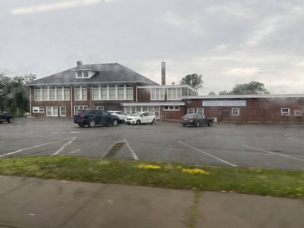
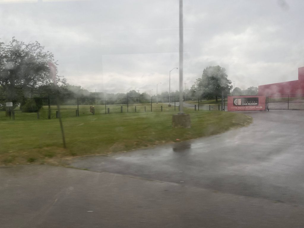
Whole lotta woods!Portsmouth senior center!More woods, oh my!Some apartments, I thinkThe car museum. It was also quite rainy today.I think this might be a church, but I’m probably very wrong.A side street. Thanks, rain.Oh god, this is even worseOxbow Apartments!No deviation for you!An empty field near East MainAlso near East MainMet up with East Main here. At least this one’s clear!
Opinions below are on this branch specifically and not the route at-large. The good: It’s a straight shot to the places served here, with no other service. There’s also deviations into an apartment complex and a naval facility.
The bad: Buses every 2 hours on weekends and every hour on weekdays can be a bit painful. However, half-hour frequency during the morning and evening rush!
Nearby points of interest (exclusive to here): You have the NUWC facility, along with places like Oxbow Apartments in walking distance. You also have Bayview Apartments.
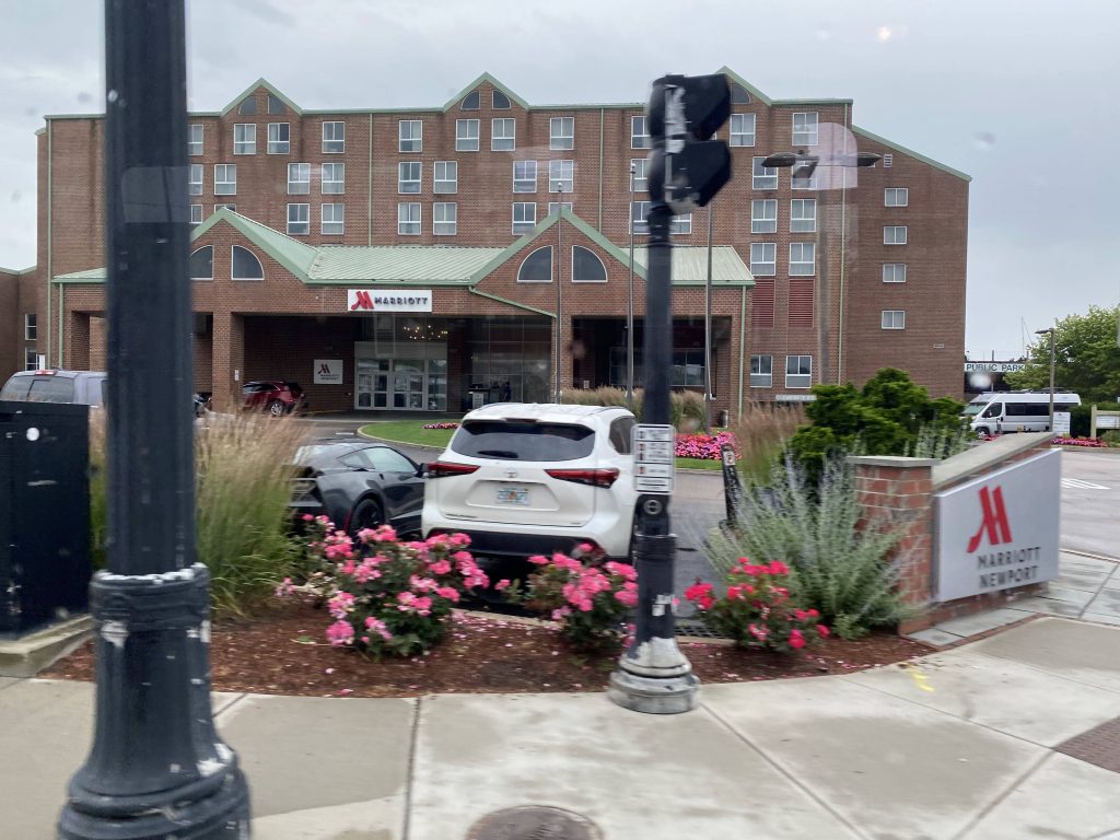
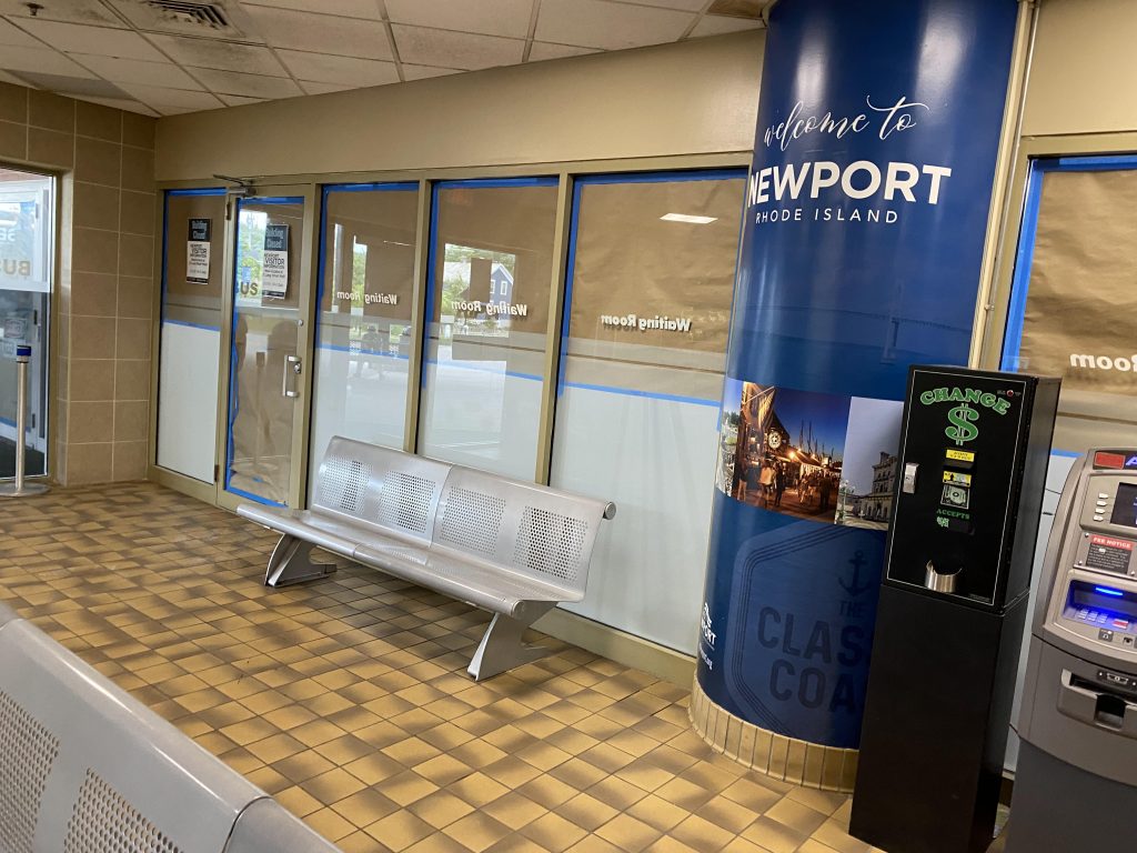
Huh, I thought this’d never open. But, here we are, and it’s open! Must be a summer-only thing. So, here we go.
Yikes.
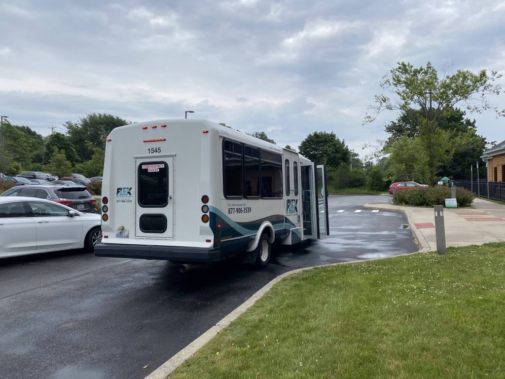
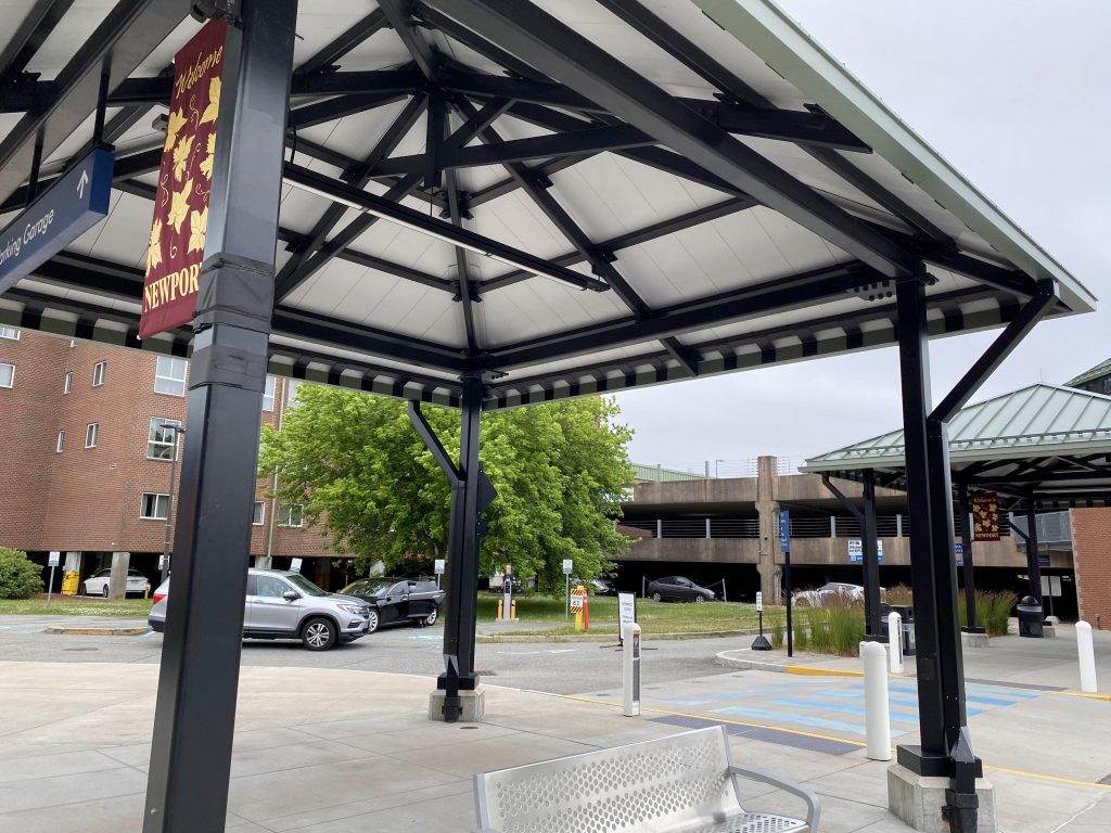
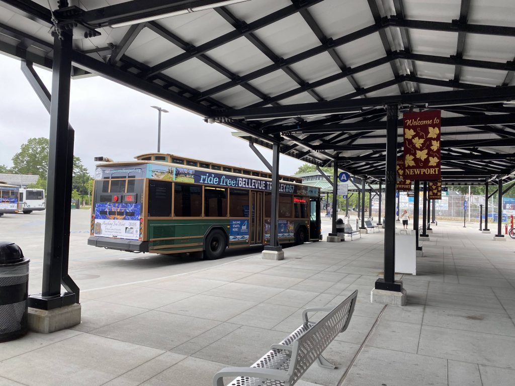
Not a lot inside. You have an ATM, a bunch of brochures, a waiting area in case it’s raining, and bathrooms. There’s also a desk which I presume is for RIPTA stuff. On the outside, you have a parking garage, a layover area for the buses that stop here, as well as berths for RIPTA and various long-distance and tour bus companies. There’s also destination signs at each berth, and they’re all covered with benches.
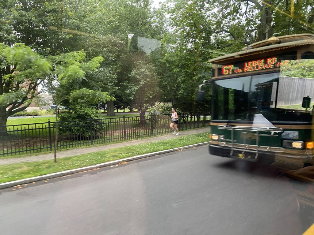
The parking garageThe 67, having just picked people up
The good: It’s Newport’s central transit hub, and for a major tourist destination, it’s kinda important in that regard. It also serves not only RIPTA, but also Greyhound and various local tour bus companies. The berths are also sizable and covered, something Kennedy Plaza could use…
The bad: Why is the indoor area closed during the winter?! If it isn’t summer, this transit hub quickly becomes one of the “screw you” type, especially if you need a bathroom break. Furthermore, the destination signs don’t work half the time, just reading “No Data”. There’s also no machines to reload Wave cards here.
Nearby points of interest: Essentially all of Newport! It’s quite literally, a gateway to Newport by transit.
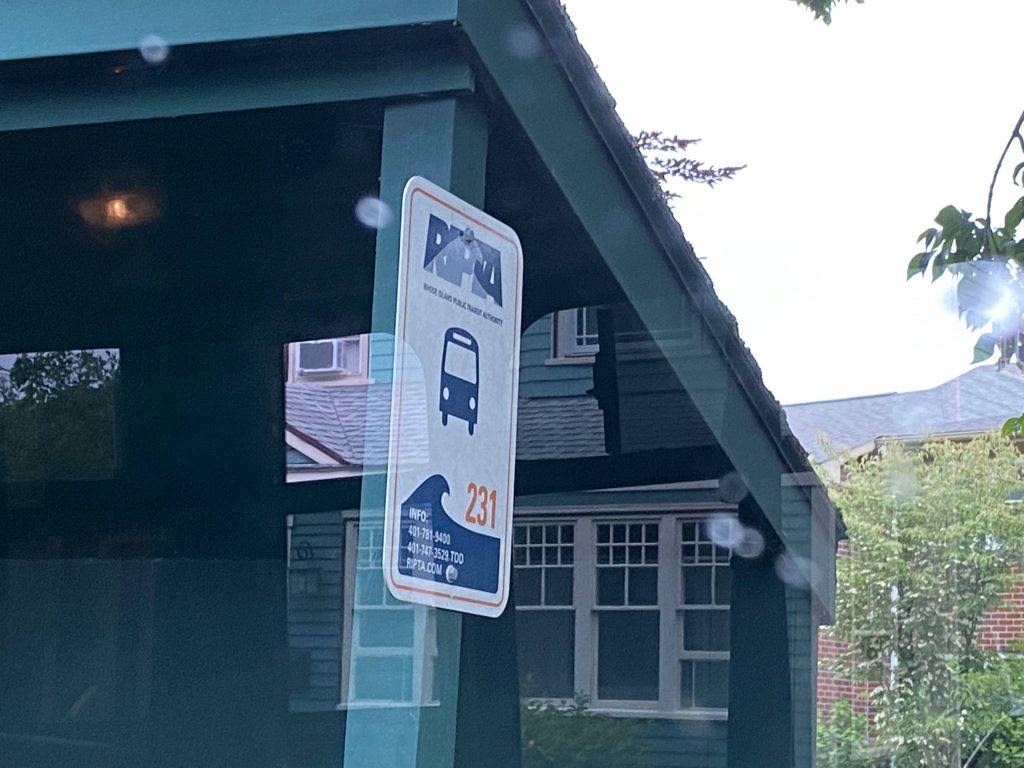
Transit connections: RIPTA (14-Newport, 24L, 60, 63, 64, 67, 68, 231 Flex) Greyhound Probably some other long-distance bus companies I’m forgetting
Overall, I….don’t like this place. Yeah, it’s okay during the summer, but if it’s the winter, it’s a major “screw you”. And that’s what I’m gonna have to base my rating on.
Alrighty, the 50! Surprisingly, this took far longer than it had any business to, for me to get around to it. So, I did this one, after being fed up with the outcome of an attempted job interview. So, here we go. Also, to be up front, I didn’t go all the way to Bryant, but that’s because it was 90 degrees out, very steamy, and I didn’t want to run the risk of heat stroke or dehydration during a layover. I did, however, make it close enough to Bryant (within 3 stops or so).
Here it comes!
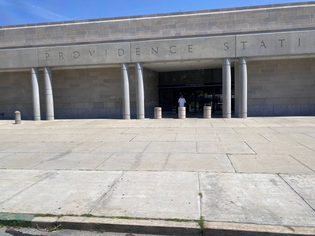
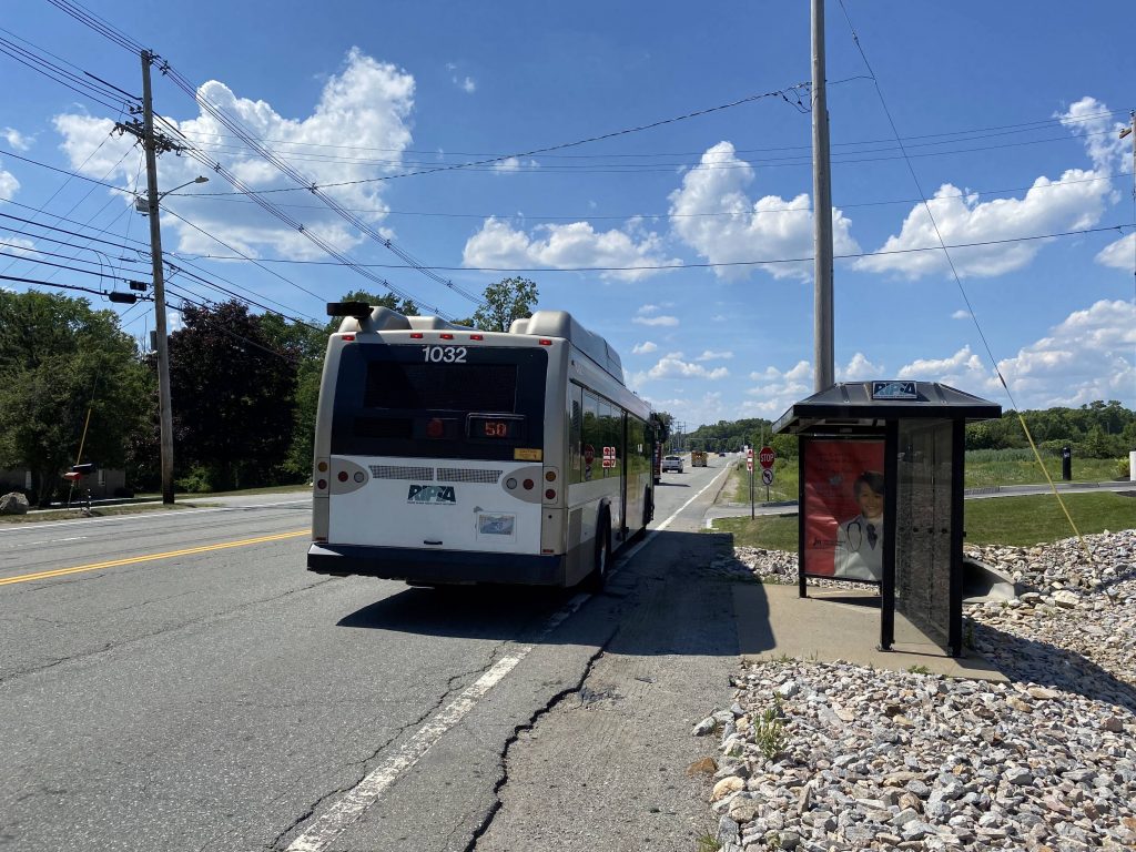
I boarded this bus at Providence Station, where I was waiting in the cool environment. I could’ve waited at Kennedy Plaza, but as I said in the prologue paragraph, it was 90 degrees and humid out. I didn’t want to do that to myself. Eventually, the bus came and I boarded.
Providence Station!
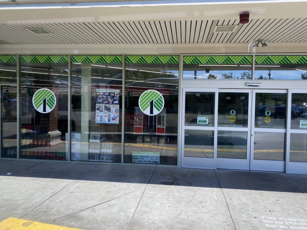
And we’re off to the races! We hooked a left at Smith Street and went up a one-way, then down Douglas Avenue, which we’d largely stick to for the whole route. Fortunately, Douglas Ave. is mostly residential, but there were a number of businesses mixed in. People got on and off, and we passed roads with major transfers nearby. Chalkstone had the 56, Chad Brown had the 55 a short walk away, while it was more direct with Admiral, and Branch Ave. marked the start of a shared segment with the 58. Just like the 58, we deviated into Shaw’s, where short trips end.
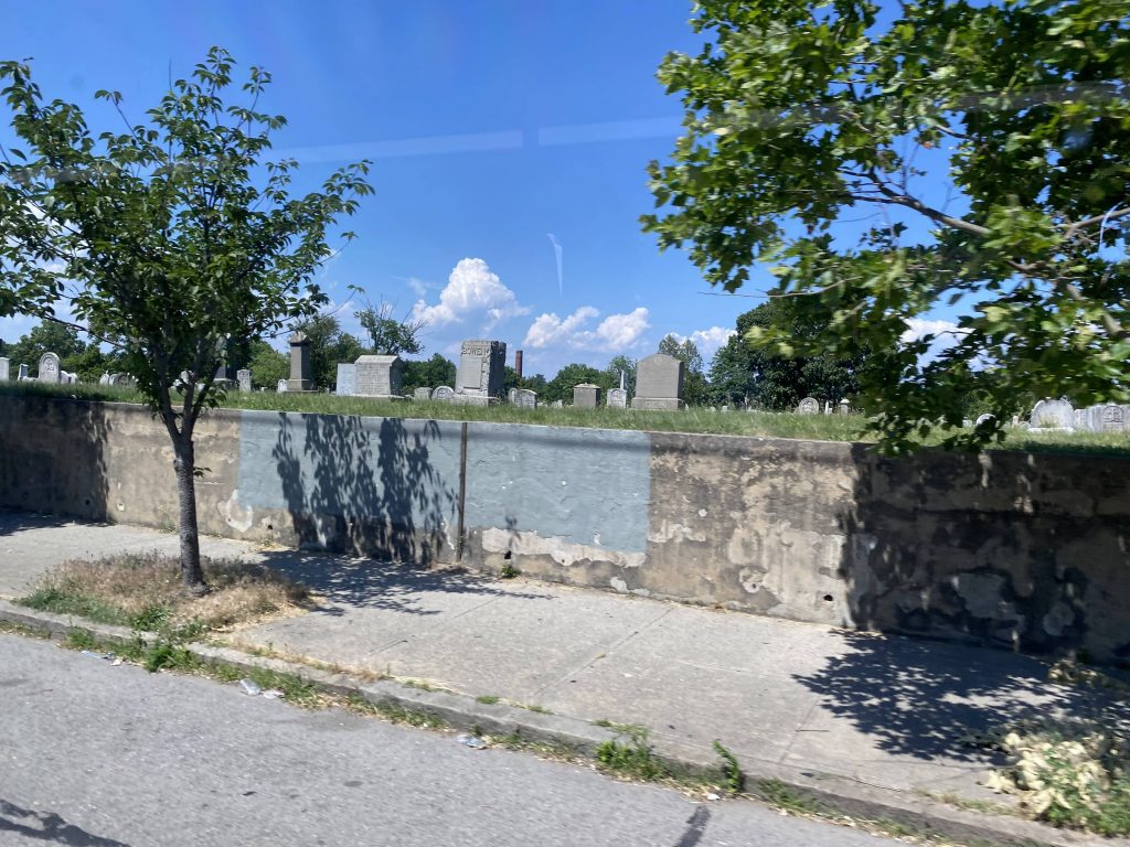
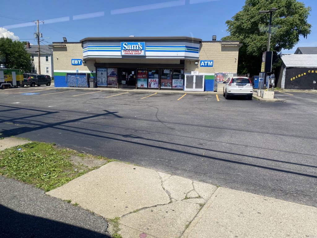
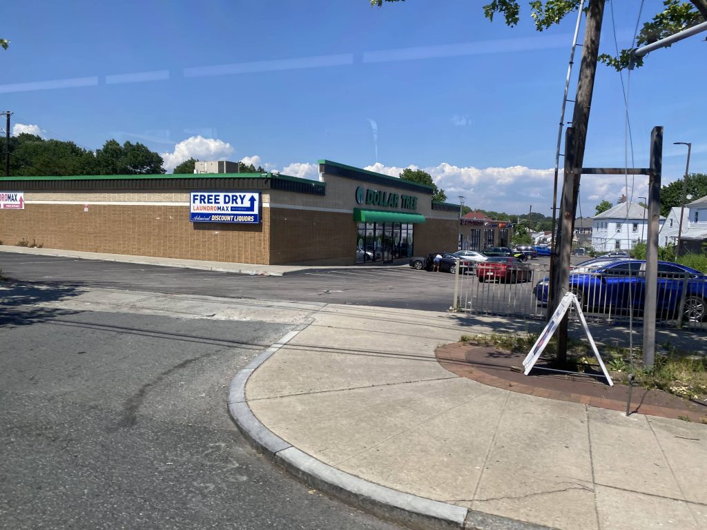
State offices!More government people!The interstate and Rte. 146!A cemetaryAren’t Sam’s stores usually red?Look, a Doll- wait, I already got this one with the 55.Veazie Street?!I don’t remember what this was.Last time seeing this particular store on this site!Money laundering???
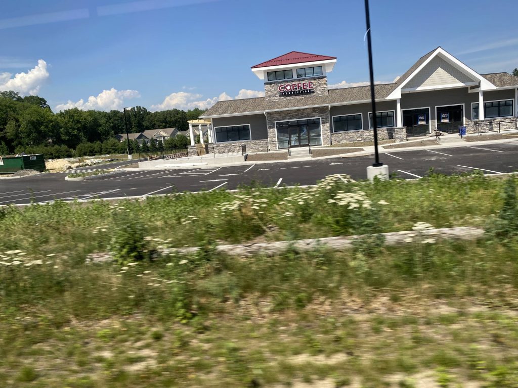
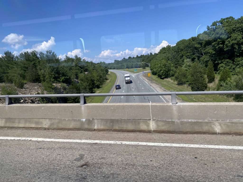
Alrighty, onwards past Shaw’s. The 58 left us at Mineral Spring Avenue, and we kept going up Douglas Avenue, now Douglas Pike. We crossed over a lake and the scenery changed to more like something out of South County, with all the trees and whatnot. Of course, it was quite rural now and occasionally, there’d be a house or a business or shopping plaza of some kind. Eventually, after about 15 minutes (seemingly), we crossed over I-295, and past a Hampton Inn. I got off at the bus stop to eat something and so I wouldn’t die of heat stroke. However, the route continues on just past RI-116, and the next left brings it into Bryant University.
Mineral Spring Avenue!A function hallA park – with a beach nearbyWoah.Gambling addiction? Not today!A dilapidated gas stationComing soon, I guessI-295!CVS!See ya!I like Deep River, but I’m not a big fan of these.This didn’t seem safe, but it was easier said than done.
The good: It’s a direct link to Bryant! It’s also frequent enough, every 20 minutes in the section up to Shaw’s, and every 40 past Shaw’s, on weekdays. Weekend frequency is up to every 45 minutes, which still isn’t bad.
The bad: Why does the brochure mention trips to Honeywell if it’s since been axed? Seriously, from what I understand, per a friend who worked for Honeywell, the 50 trips to Honeywell used to be intended for those working in the N95 production lines until they axed that department last year! What the HELL?!
Nearby points of interest: Well, in the section unique to this route (essentially everything north of Shaw’s on Douglas Avenue/Douglas Pike), you really only have Bryant and a park. At least the park has a beach, though.
Overall, it’s not a bad route. It serves a lot and some far-out places. I do, however, wonder if the outermost areas (e.g. Bryant and Fidelity, along with other nearby businesses) would be better served with a few morning and evening round-trip expresses?