Remember how I said in the 3’s post how I referred to both that route and this as “RIPTA’s evil twins”? Well, the 3 was relatively tame in that there’s actually stuff to do along the route. The 4, on the other hand…..
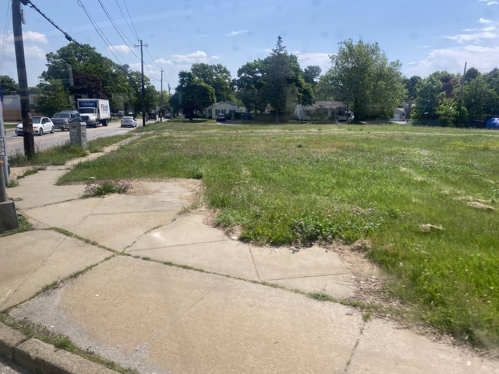
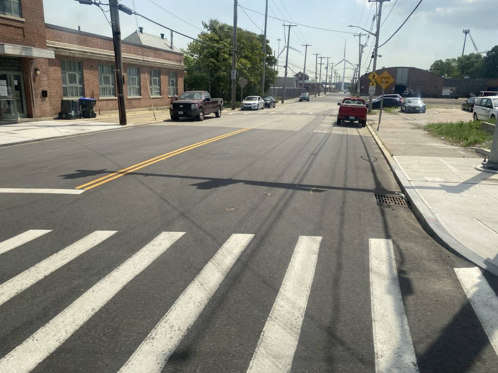
So, to preserve my sanity when doing this route, I didn’t start all the way at Warwick Neck. What was there to even do near the 4’s terminus? Nothing. It’s buried deep in a residential neighborhood. So, how does the 4 reach civilization? It goes around the turnaround point at the intersection of Warwick Neck and Barton. From here, it heads northbound to Samuel Gorton Ave., then turns left at Longmeadow Ave. Turning left at Draper Ave. would bring it to West Shore Road and the Warwick Schools administrative office, places people would actually want to get to. As would ending the route at Rocky Point State Park. The route then takes a left at Tidewater Drive and goes down to West Shore Road there. It then goes right, bringing it to where I board.
The route follows West Shore Road through Conimicut Village. Eventually, the village area ends and it’s normal suburbia. We then reached the intersection at Airport Road and Warwick Ave. From here, we went right onto Warwick Ave.
Soon enough, we reached Narragansett Parkway. From here, we took a right and headed towards Pawtuxet Village. The area is a historic village area, typical of most New England towns. The Gaspee Arts & Crafts festival, along with the parade, are all held around here (and yes, the 4 gets detoured, as a result). Soon enough, Narragansett Parkway turns into Broad Street.
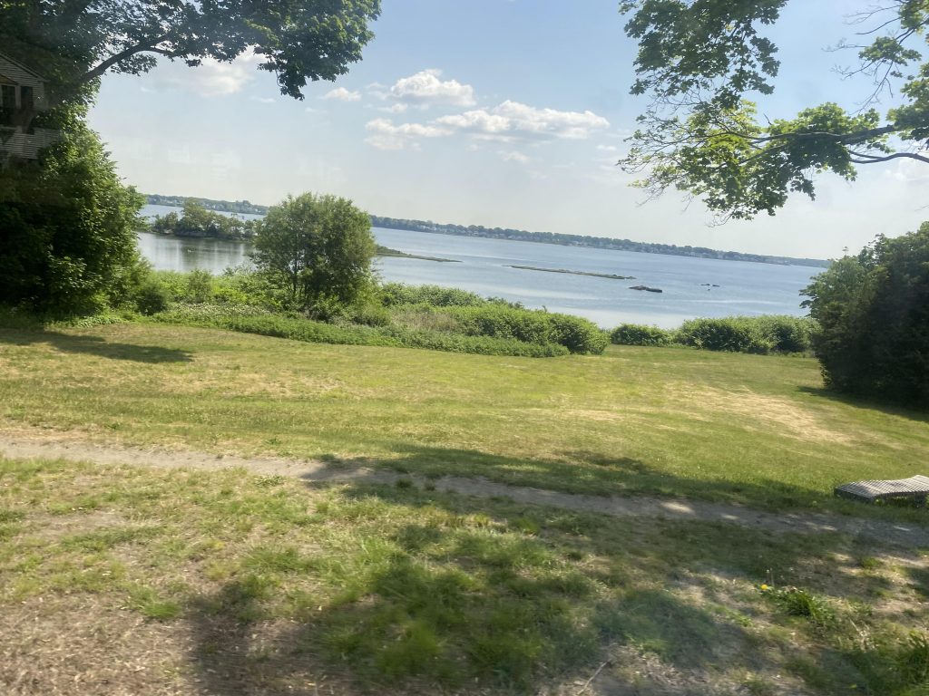
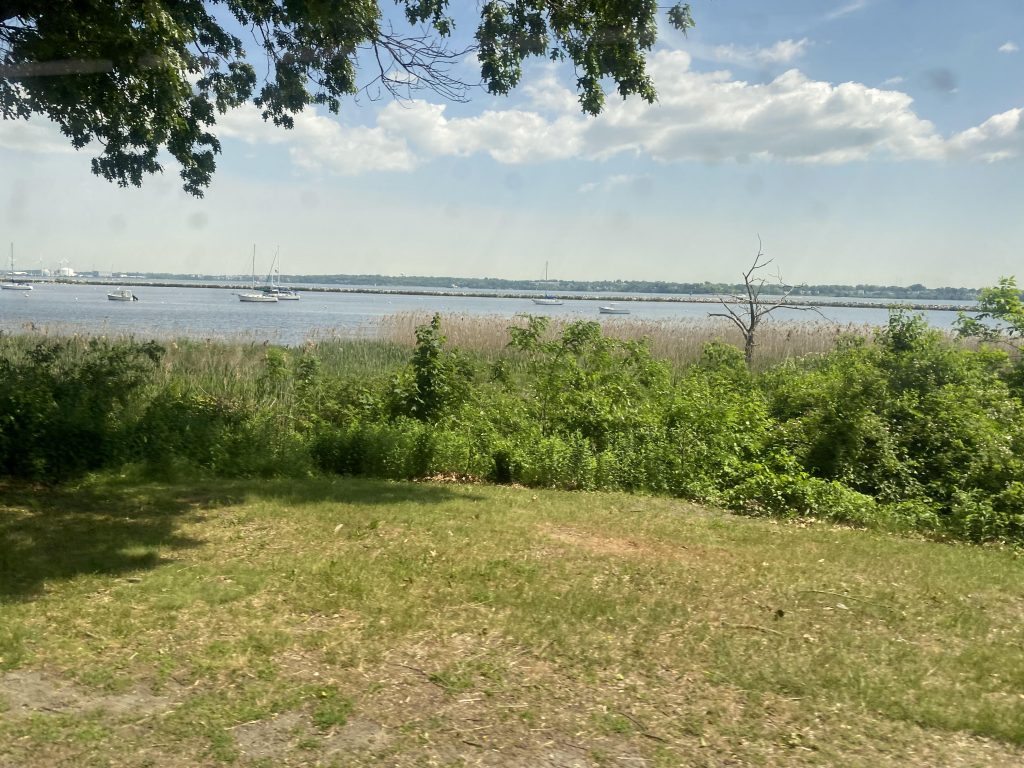
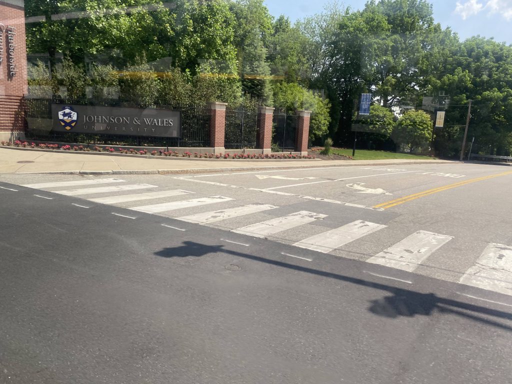
Soon enough, the village became suburbia again, but denser than on Warwick Ave. We were also in Cranston at this point. By the time we reached the intersections of Warwick and Norwood Avenues, we went right to join with the 3. Down here were somewhat dense housing, the ocean, and JWU’s Harborside campus.
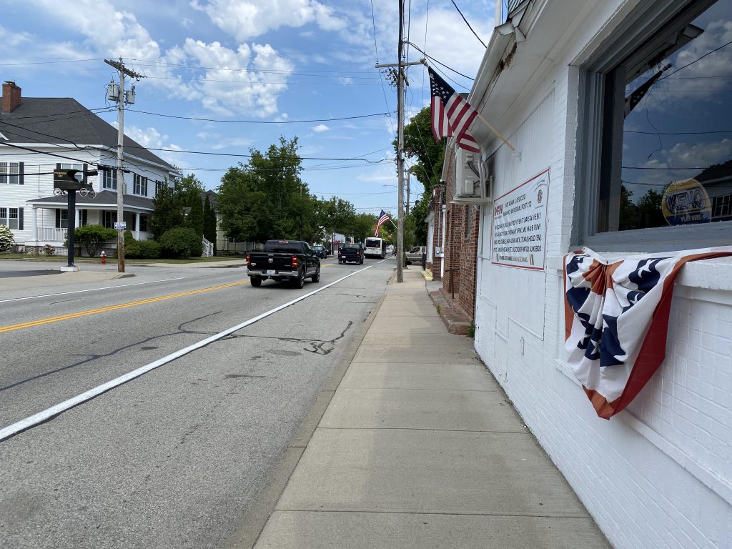
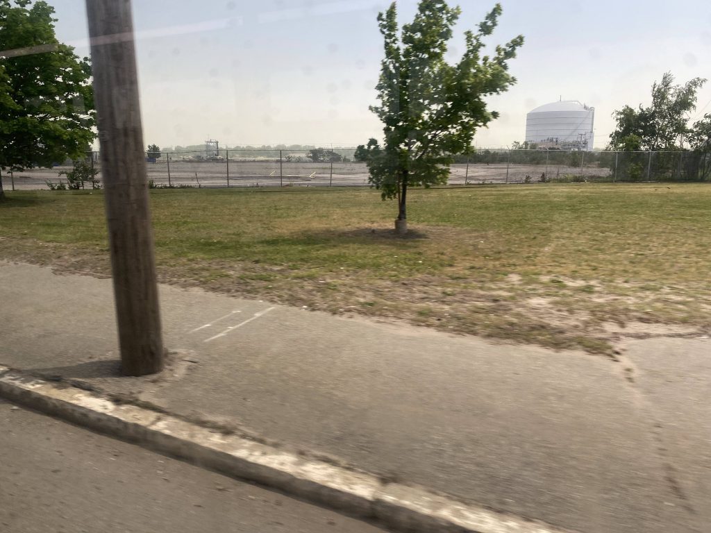
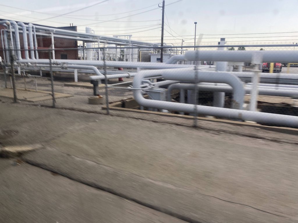
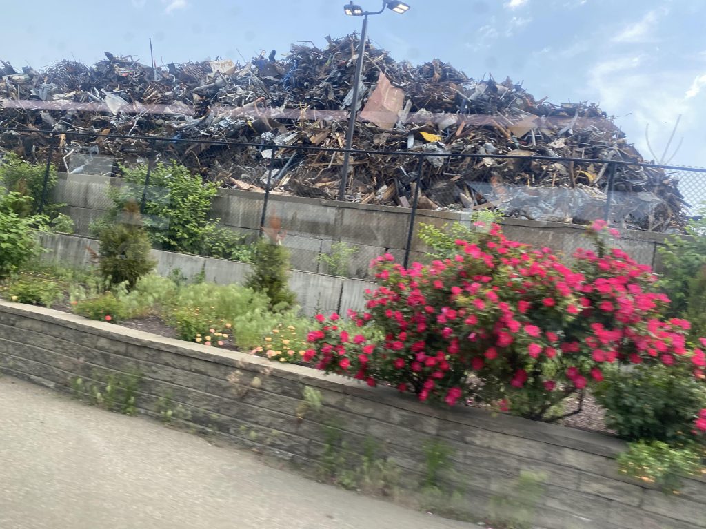
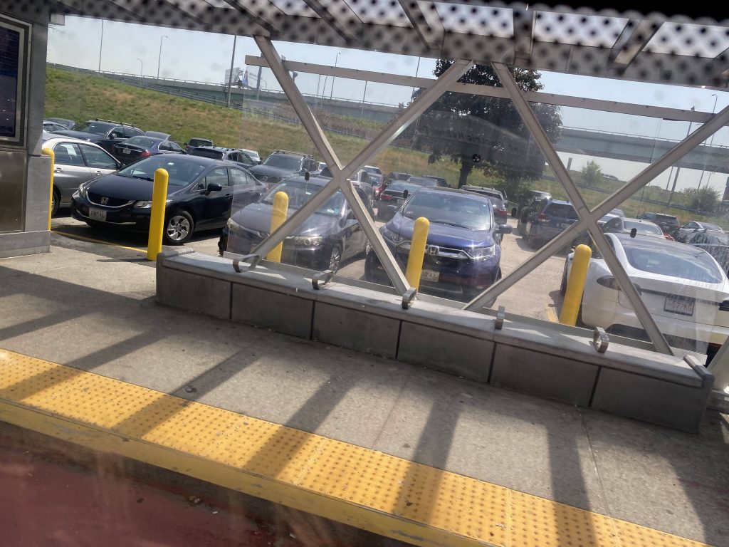
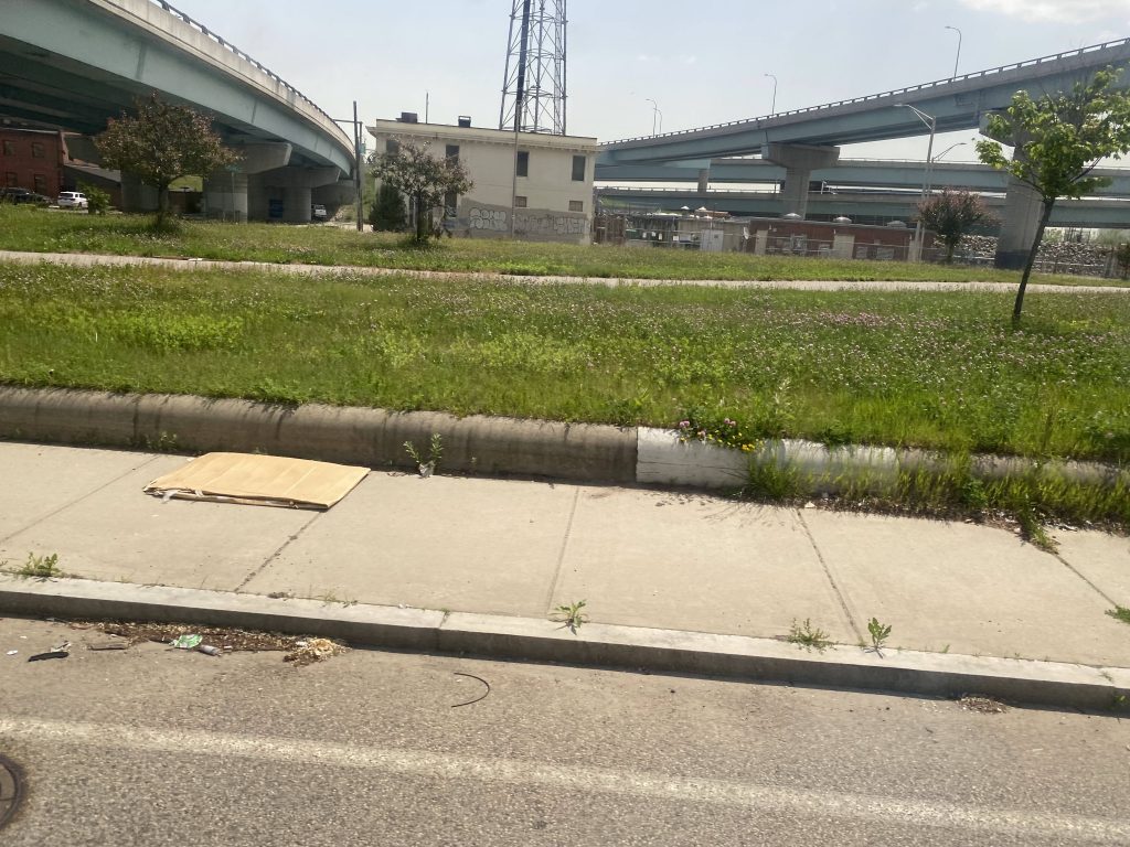
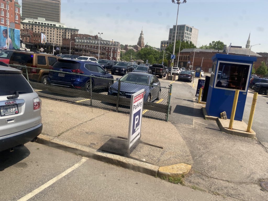
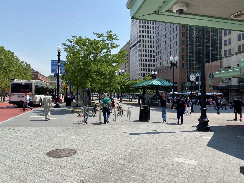
Of course, just like the 3, the area became a freakin’ wasteland. Welcome to the Port of Providence, I guess. Also just like the 3, we turned down Blackstone Boulevard, deviated through the layover area for RIPTA buses, and then went past the hospital. Also just like the 3, no deviation here. From here, it was a straight shot, through Dorrance and Dyer Streets, and then Kennedy Plaza. This was where I got off, although the route does continue to the train station.
The good: It serves as a direct connection to Providence for the people along Warwick Neck and Warwick Ave., as well as Pawtuxet Village! As far as I can tell, the route was more designed as a commuter-oriented route, and it gets the job done quite well for that. However…..
The bad: It has the same schedule weirdness as the 3, because they’re tied together. Also, why doesn’t it get extended to Rocky Point Park? I’m sure, if it’s intended for commuters, there might be enough demand for a Warwick Neck/Oakland Beach express route.
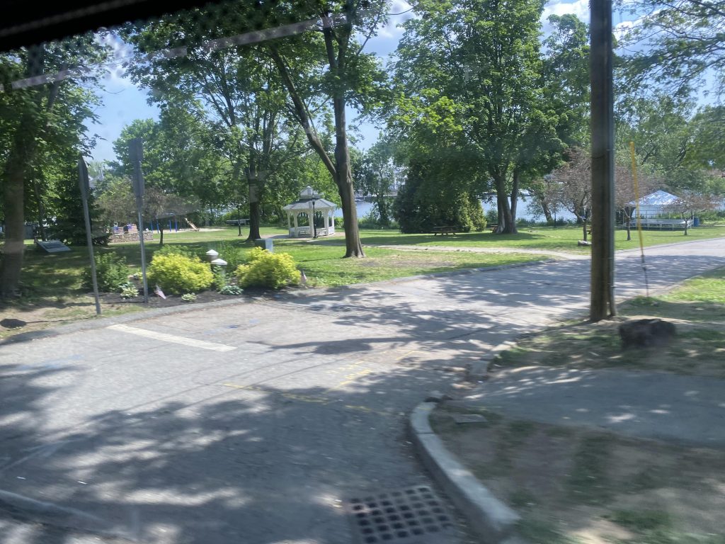
Nearby points of interest: The industrial wastelands of Allens Ave. There’s also Providence Station and Pawtuxet Village. Conimicut too. Rocky Point as well, if you’re willing to walk.
Overall, it could be better. Yes, I get it’s commuter-oriented. But like, there’s nothing in Warwick Neck, and if a commuter route is necessary, I’m sure there’d be more demand for an Oakland Beach/Warwick Neck express that serves the Airport Road park & ride lot. Plus, why doesn’t it serve Rocky Point Park? Nevertheless, thank goodness I got one of the more evil RIPTA routes off my to-do list.
Rating: 5.5/10
One thought on “4 (Warwick Neck/Conimicut)”