(part 2 here)
This morning, I wrote about the 14, and it was the least used “long haul” RIPTA route. Now, let’s look at its bigger brother, the 60. Let’s take a look at what this route has, shall we? In summary, a lot. We’re talking crossing two whole counties, a pretty sizable island, a suspension bridge, a college campus, and four park & ride lots (with a fifth in walking distance!), all while being anchored by Providence on the northern end and Newport on the southern end.
Coming out of the Newport Visitor’s Center, we hook a left onto America’s Cup Ave. and then another left onto Marlborough Street. As we went through, it was all touristy businesses for a good bit, along with some other points of interest. We then turned left onto Broadway, passing by City Hall and Newport Hospital. It was from here that we then entered Middletown. Shortly afterwards, the route diverged into two branches.
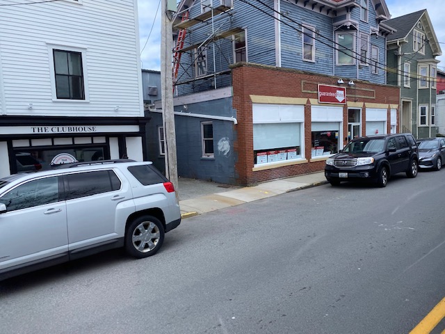
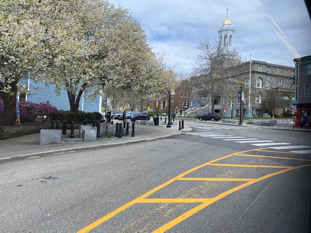
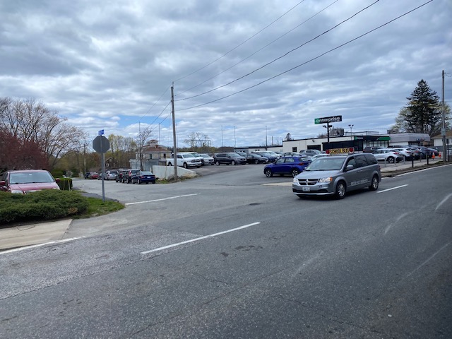
The route diverged into two: West Main and East Main. The West Main branch features a deviation into an apartment building and the Naval Undersea Warfare Center, which as the name suggests is a military installation. My trip, however, featured none of that, as I was on an East Main trip.
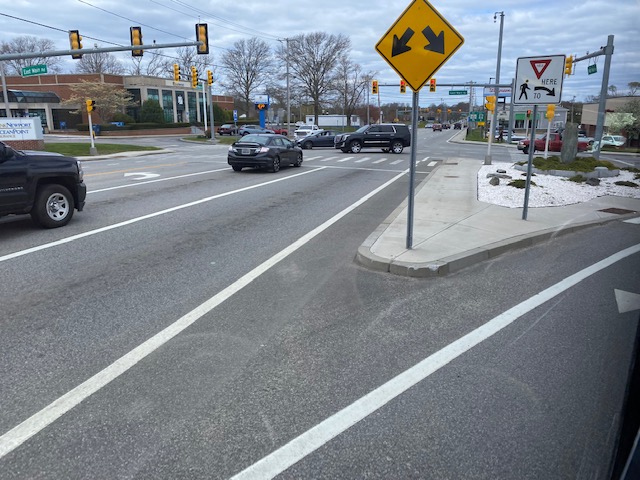
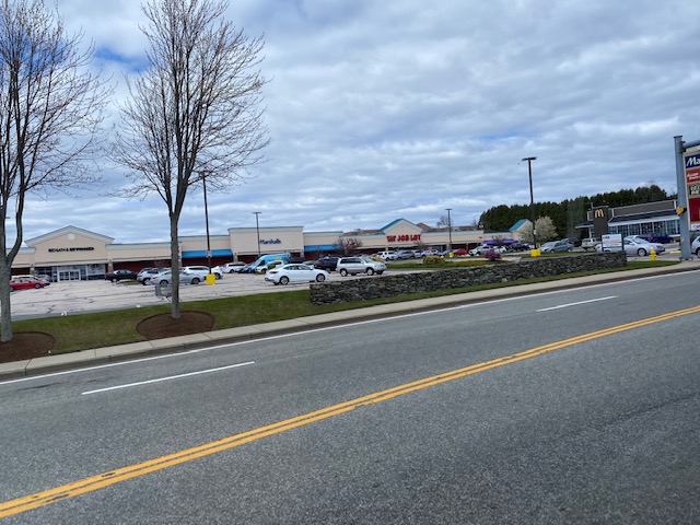
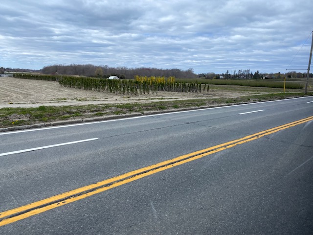
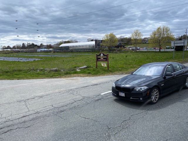
Overall, while West Main is a bit more lively with a lot more in the way of houses and businesses, East Main is instead lined with farmlands. Occasionally, there’d be a house. However, that was all in Portsmouth. In Middletown, it was still business-lined, and there was a DMV branch nearby.
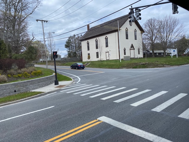
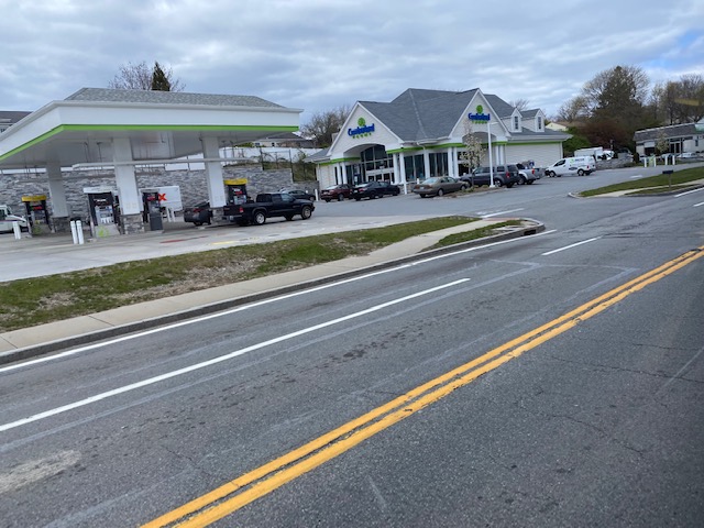
Some of the buildings we passed along the stretch of road, especially in Portsmouth, were quaint and old-styled in nature. Other times, though, it would be something as mundane as your average Cumberland Farms.
Eventually, after spending probably half an hour going up East Main, we reached RI-24 and we hooked a left at the first of several park & ride lots, at Boyd’s Lane. But we didn’t deviate into it, and instead we booked it right past. There was also a DOT facility nearby, presumably where they hide all their salt for the winter.
Soon enough, though, we joined up with the West Main branch and HOLY SHIT ANOTHER BRIDGE (yeah I rode this immediately after the 14). This time, we were crossing the Mt. Hope bridge. Not as big as the Newport bridge, but just as iconic.
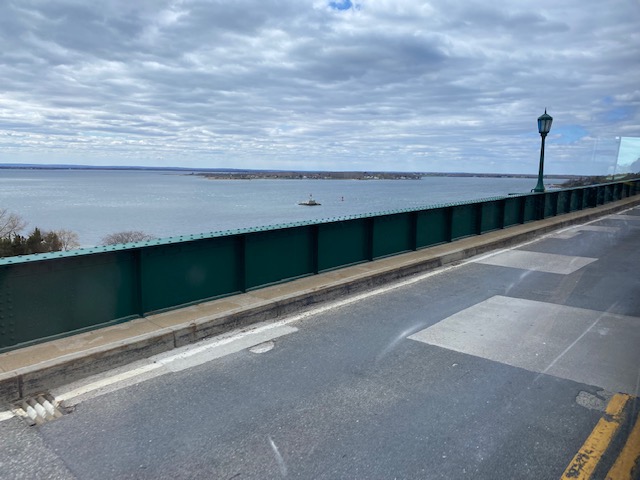
Apparently it looks just as pretty at night, at least if a Miles in Transit blog post is to go by. Unlike him, though, I wasn’t about to ride the last 60 of the night and become the most hated passenger among RIPTA drivers. Soon enough, though, we got off and reached Roger Williams University. Now normally the bus goes straight, but because of tree work we had to detour. So, what was the detour? We went right up Metacom Avenue, and then hooked a left onto Griswold Avenue. We then hooked a right back onto RI-114. We progressed through Bristol with its historic downtown, known for the 4th of July parade, paralleling the water and passing Colt State Park.
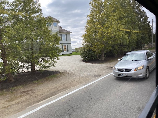
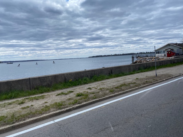
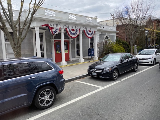
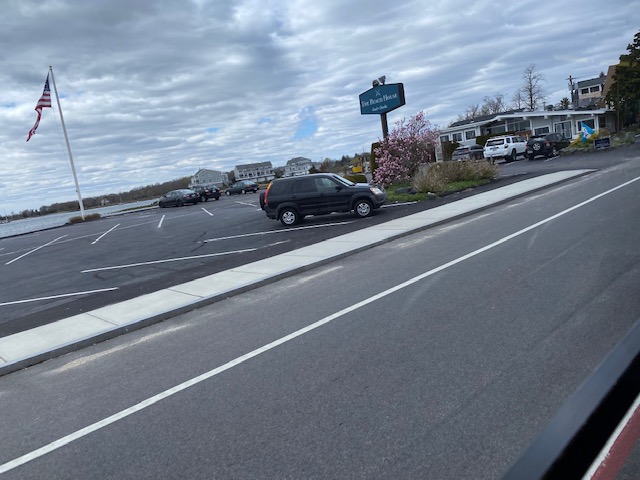
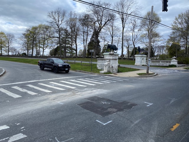
Eventually, we left Bristol’s downtown area and kept pressing on up RI-114. Eventually, we entered Warren and it was much of the same. Houses everywhere with suburban businesses. There was also a nice downtown area, just like in Bristol. However, it wasn’t as historic.
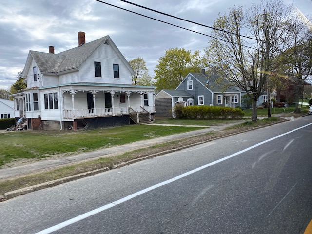
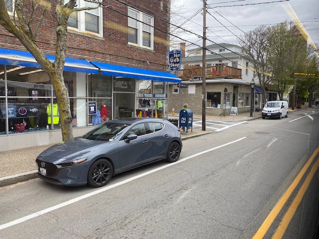
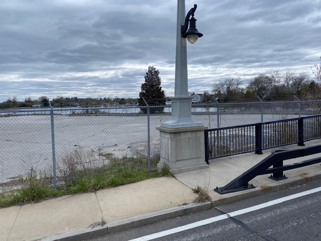
However, as we went through Warren, we did pass a Park & Ride lot that’s visible from RI-114 (served directly only by the 61X) as well as Police Cove (if that counts as a P&R). Soon enough, after crossing two bridges, we were in Barrington. Barrington wasn’t really that exciting. However, we did pass a shopping plaza, Barrington HS, and the park & ride at the local Unitarian church (commonly referred to as White Church, likely due to the paint job). It was after this that HOLY SHIT WE’RE GOING EXPRESS, BABY!
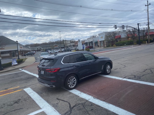
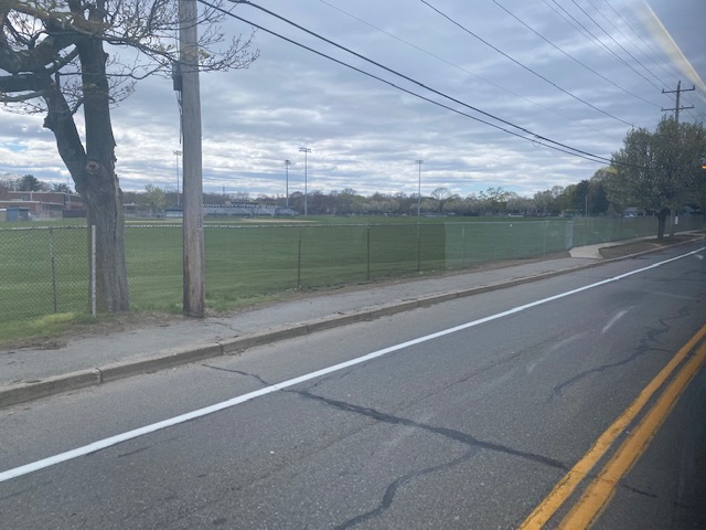
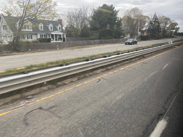
The road then became the Wampanoag Trail and we basically booked it right into downtown Providence from here. However, there was an issue. Take a look.
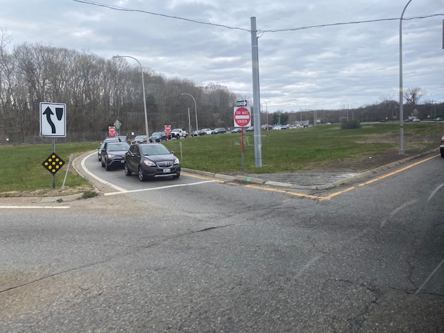
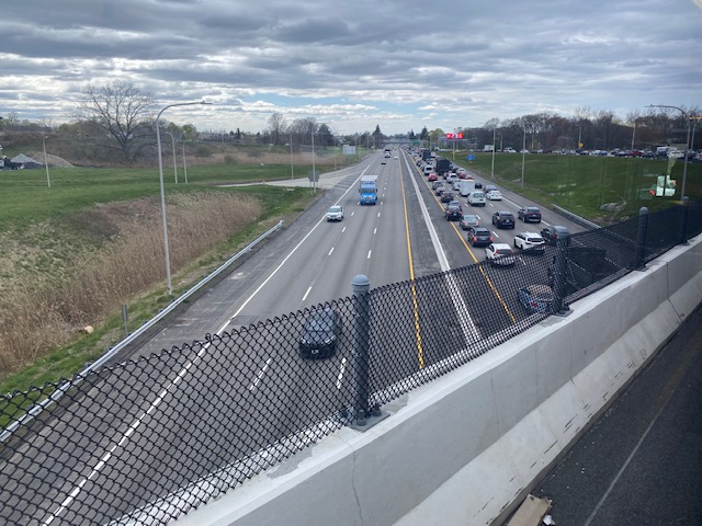
Yeah…….
Traffic was bad. Meanwhile, I was praying that I would catch the 49 (I did, barely). Of course, from here, the route went over Warren Ave. and dumped us off at 195 westbound, which is VERY, VERY NOTORIOUS FOR BAD TRAFFIC.
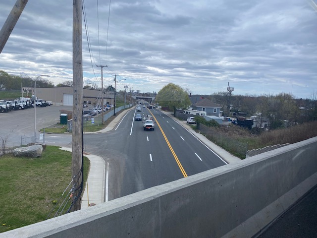
After about 10 minutes of sitting in traffic, we eventually made it to South Main Street, and from here we basically booked it to Kennedy Plaza. The bus let us off at stop Y, and from here I ran to catch the 49.
The good: It serves a LOT of areas that would otherwise be unserved. Middletown’s main arterials, Portsmouth’s main arterials, and pretty much the entire East Bay. It’s also frequent. Like, VERY frequent. 15 minutes during peak hours, 30 minutes other times during the day on weekdays. Even weekends have 30 (or 45 on Sundays) minute frequency during the daytime! Given this route takes over 1 and a half hours to do end to end, that takes a considerable amount of resources. And the ridership shows that it’s well-spent. How about, the 5th highest ridership route in the entire system? This bad boy clocks in at 2223 daily riders as of 2019, with the only routes surpassing it being the 92, 20, 1, and R Line.
The bad: Remember, the route has two branches and the trips alternate. So, for the individual sections not shared between both branches, frequency can be as bad as every 2 hours. It’s also very, very long. I also can’t help but feel like that it’d be better off running local instead of express into downtown and switching with the 61X in that regard.
Nearby points of interest: A lot. Downtown Newport, the various shopping centers in Middletown, Roger Williams University, and the various East Bay downtowns to name some.
Overall, it’s a very long route but it also serves a lot, and it serves a lot more densely populated areas than the 14. For much of the trip, the bus was about 1/2 to 2/3 full, but people still kept getting on and off at various points along the route. It’s clear that there’s demand for East Bay and Newport bus service, and I hope RIPTA adds more routes in the area some day. Perhaps all day service through Tiverton and Metacom Avenue, terminating at one of the shopping centers?
Rating: 8.5/10
3 thoughts on “60 (East Bay)”