Oh golly. I promised on the Miles in Transit Discord server that I’ll try speedrunning GATRA on the basis of losing a bet, or something like that. Well, I kinda forgot about that and never had the time or motivation to. But, since then, we finally have…ONE GATRA entry. Welcome to GATRA GO! Unfortunately…this one was about a year in the making due to a number of mishaps in the making. Here they are:
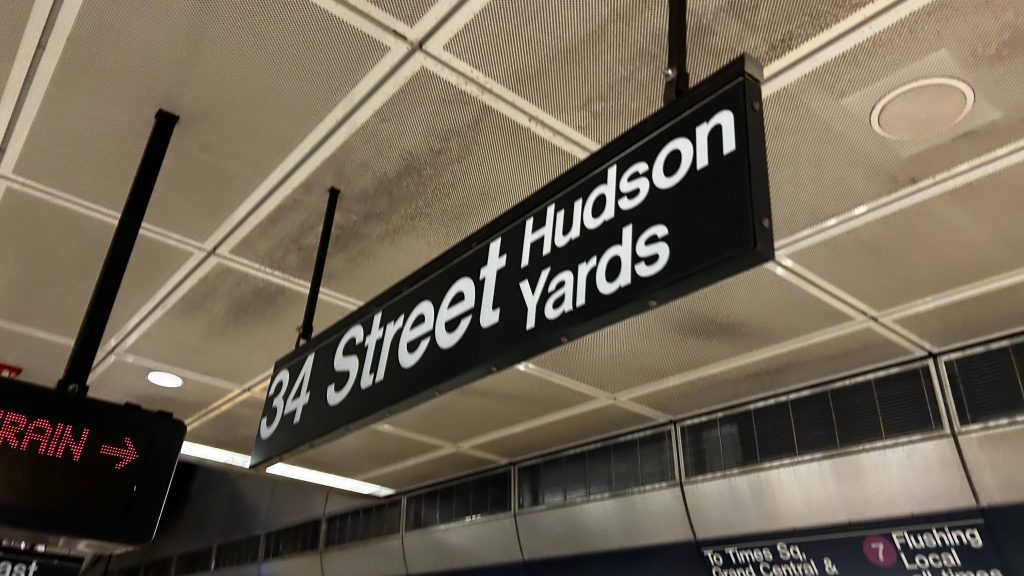
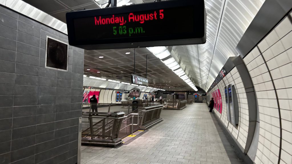
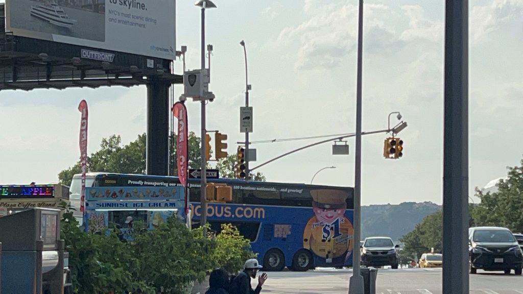
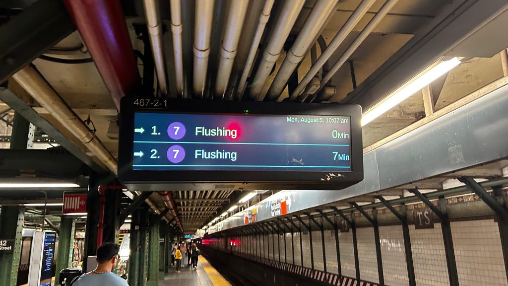
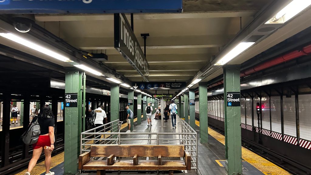
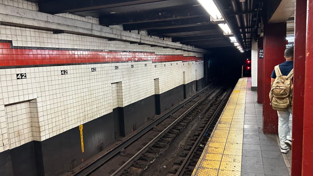
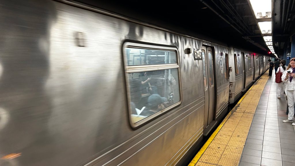
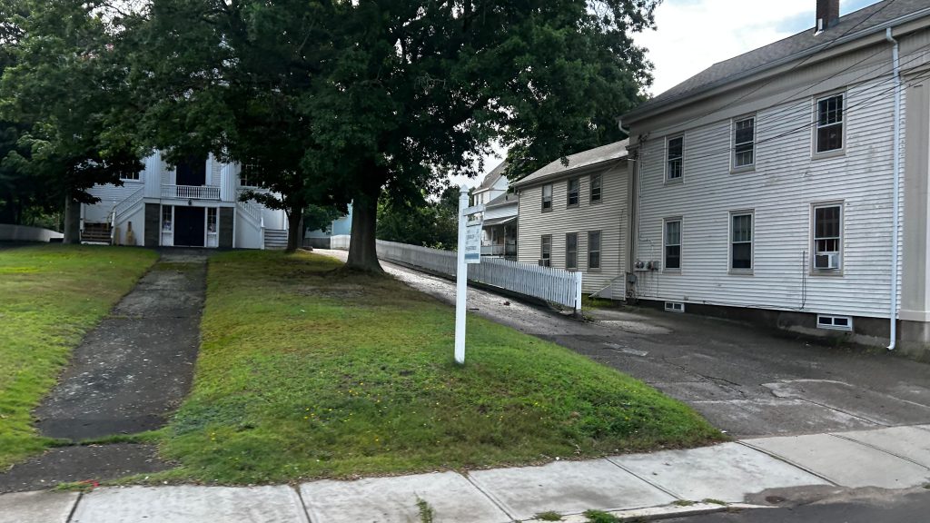
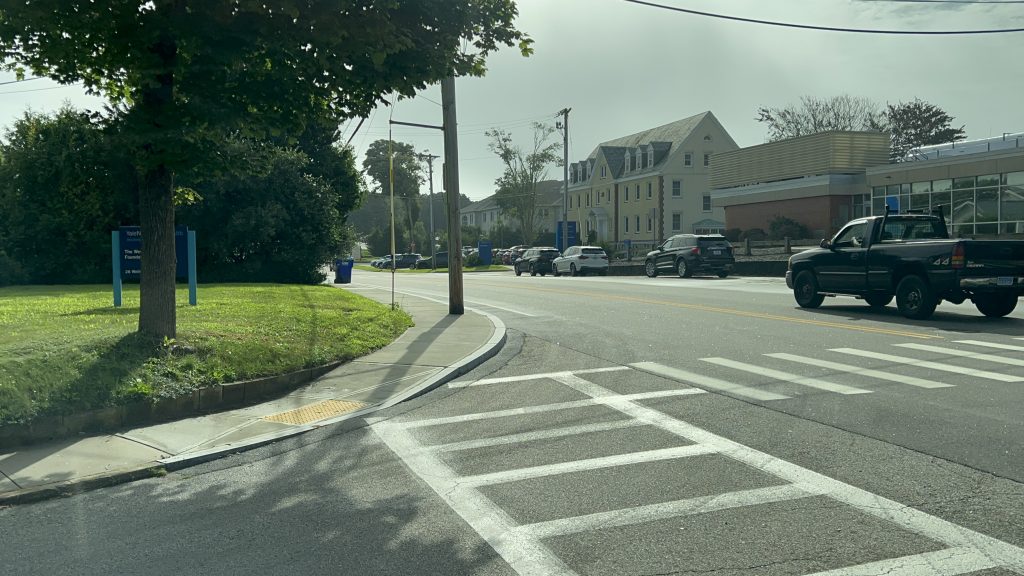
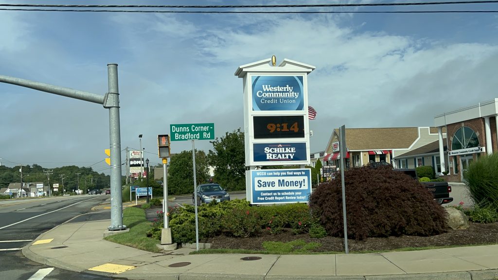
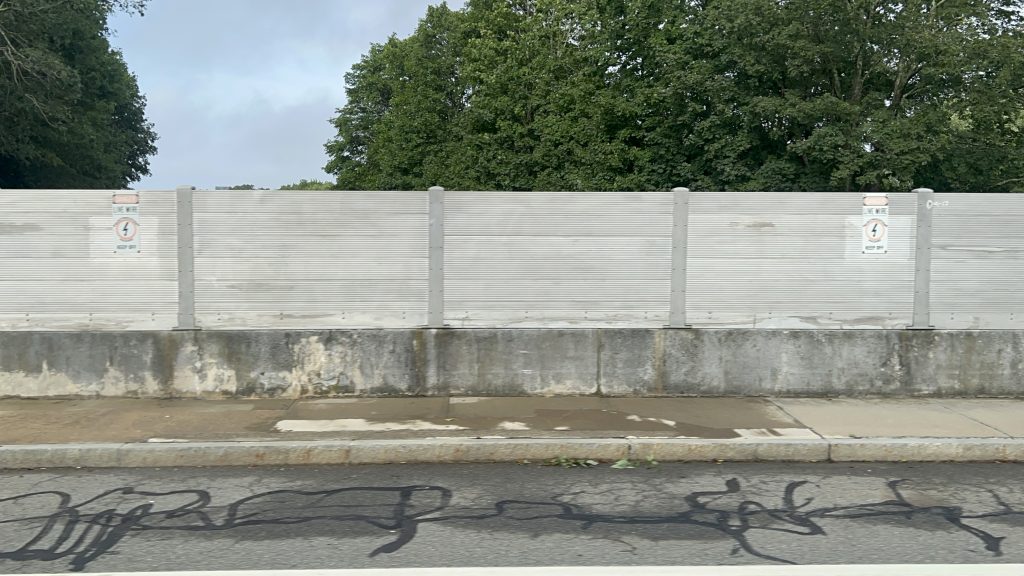
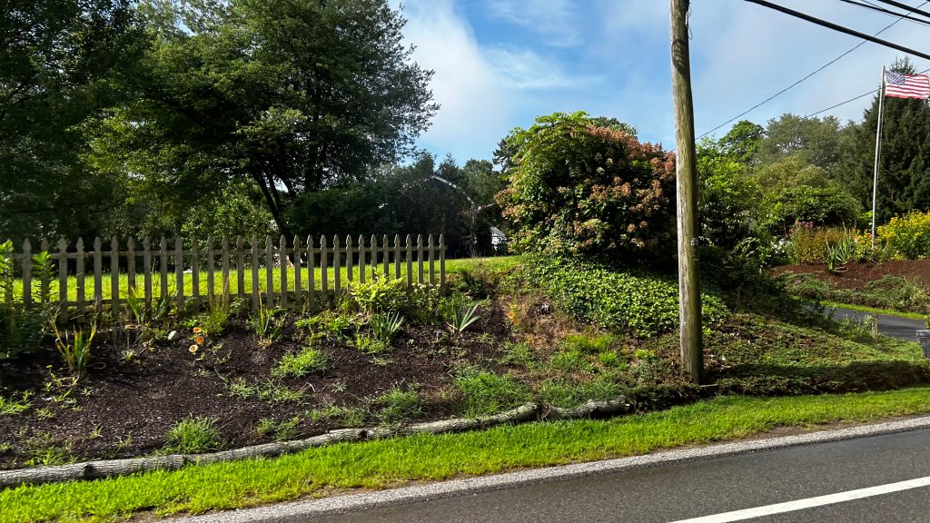
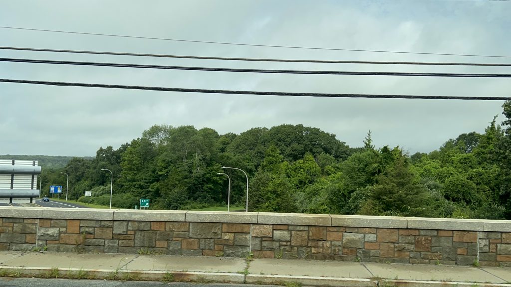
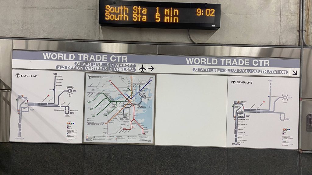
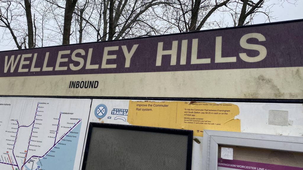
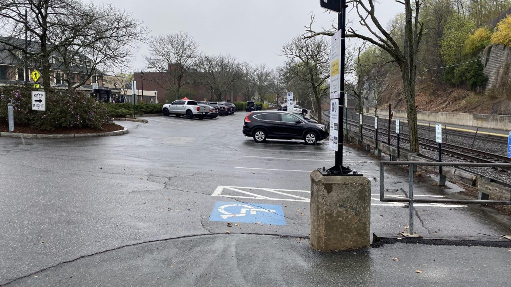
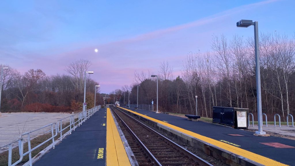
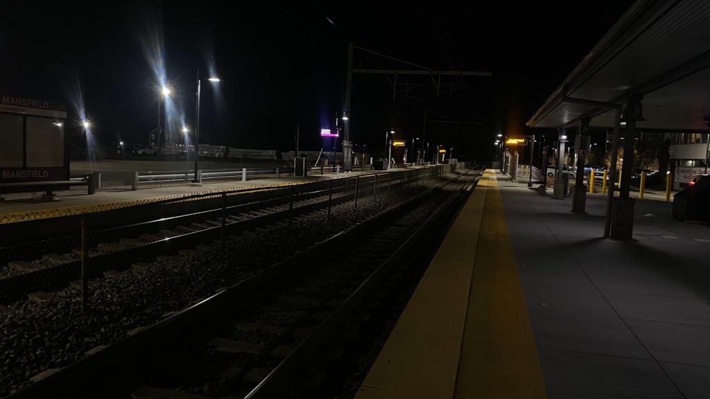
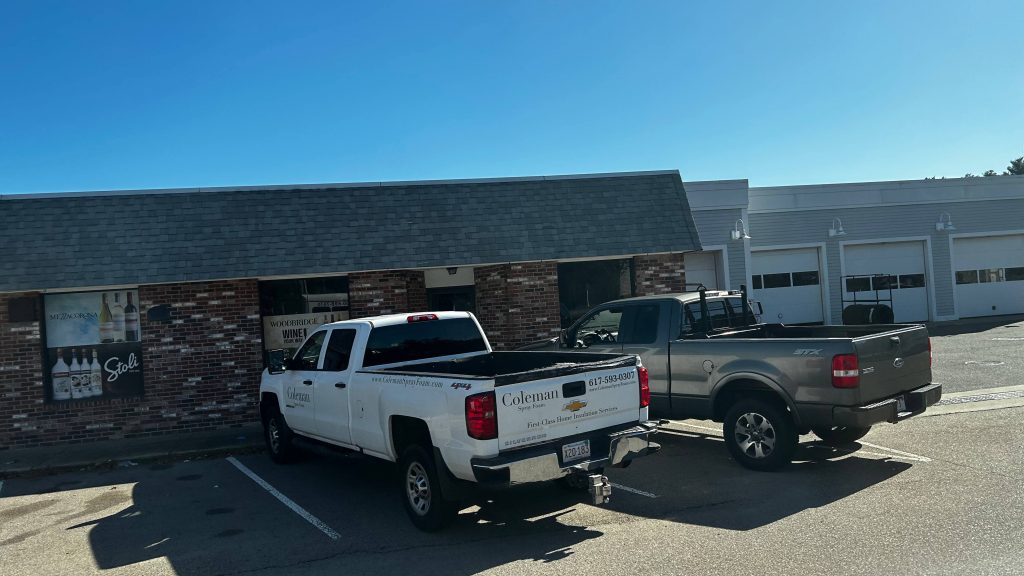
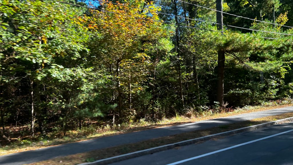
ATTEMPT #1: I first attempted to review GATRA GO on the same day I visited Forge Park/495. Unfortunately, GATRA GO didn’t want to cooperate and it kept telling me there were no trips between Forge Park and Mansfield. How could this be?! They’re the same damn zone! Just look!
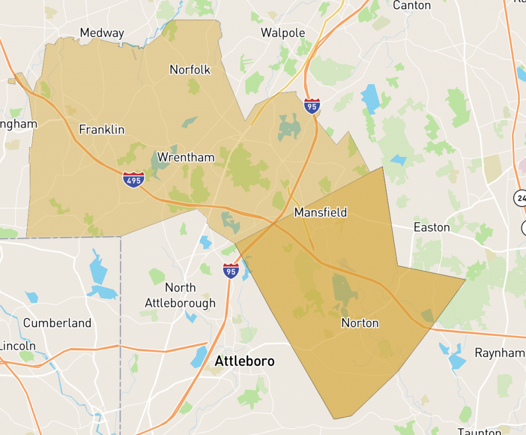
At first glance, you wouldn’t think twice of this! “I can just go from Forge Park to Mansfield!” Well….NOPE! Just look!
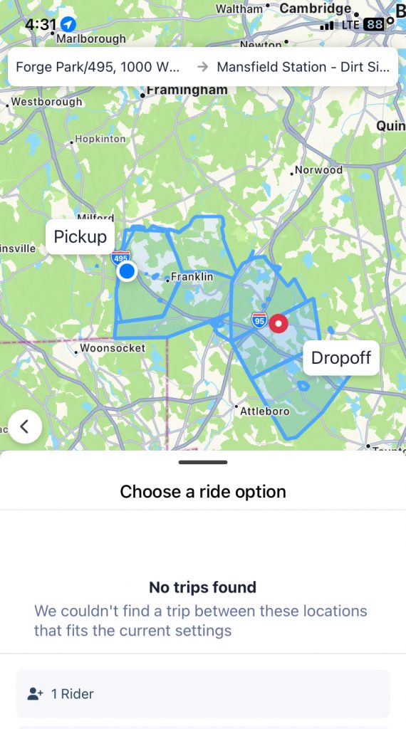
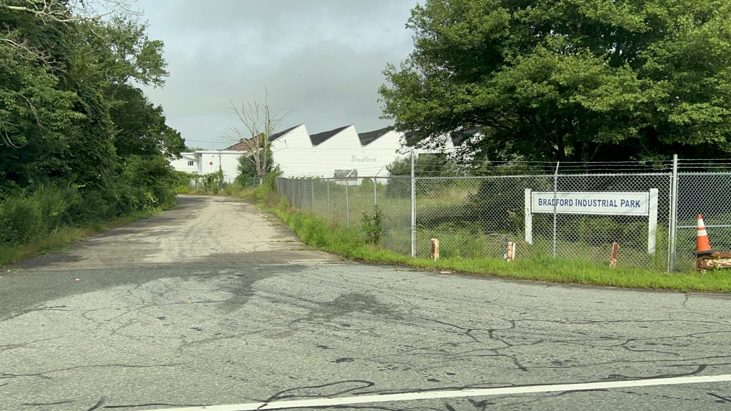
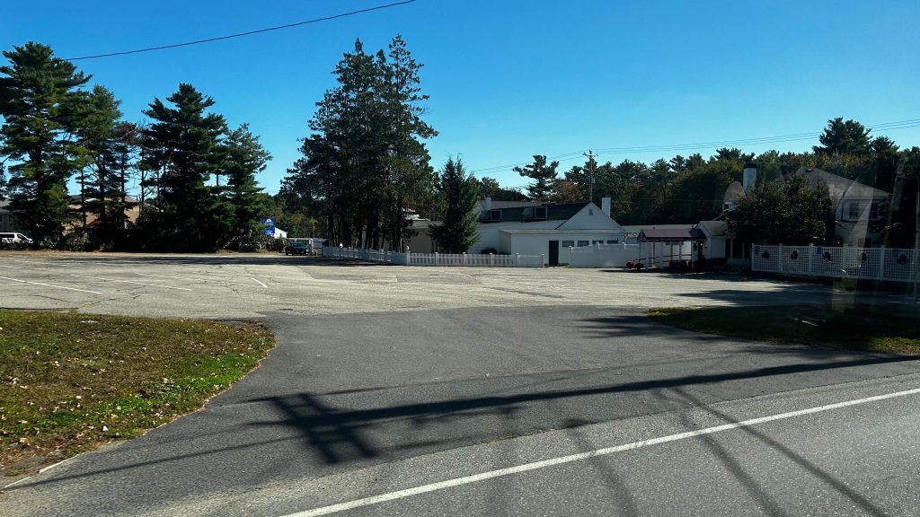
It turns out (thanks random internet person for this insight!) that, there’s actually a historical reason for this weirdness (you’d think it’d be fixed?!) AND not only that, you have to transfer LITERALLY ANYWHERE IN FOXBORO – BEING THE ONLY TOWN WITH A ZONAL OVERLAP. WHY?! So, I was left out in the rather cold November evening, having to dial an Uber to Mansfield Station, as GATRA fucked me over at Forge Park/495. I must also add – THIS REPLACED LITERALLY ALL THE FRANKLIN, NORFOLK, FOXBORO, AND MANSFIELD-AREA FIXED ROUTES! THIS ALSO REPLACED THE SLOOPY SLOOP IN SCITUATE! WHY GATRA?!
ATTEMPT #2: A week or two later, I was going up to visit Brooke among other things in Boston, it was still very cold (it was December at this point), and I said “fuck it” and decided to get revenge on GATRA GO. Unfortunately, very VERY long wait times said “lol fuck you” and even though I got off my train at 8ish AM, I wouldn’t be picked up until closer to 10, guaranteeing missing a Foxboro train I wanted to connect to. This also meant I’d be stuck in Foxboro for a couple of hours. 🙁
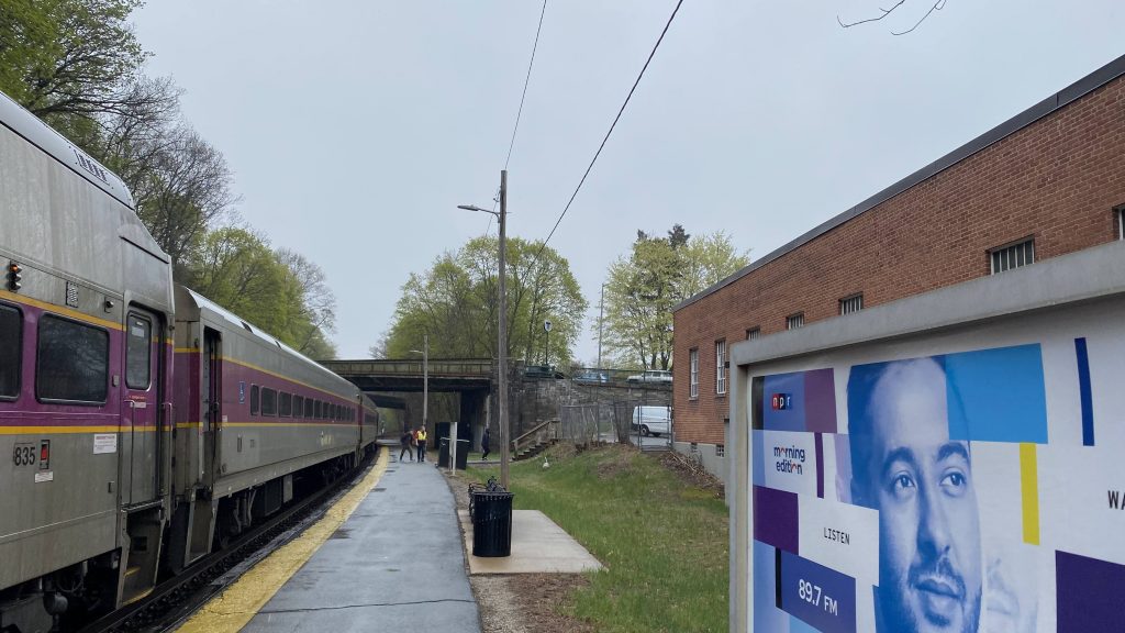
ATTEMPT #3: About 10 months after, I decided to come back with pretty much the entire Franklin Line under my belt and with a much better understanding of how GATRA works, and having much more time on my hands (now that I wasn’t dating Brooke, though we’re still friends, and I wasn’t trying to ride her train either as I didn’t know if I’d still have steam – or make it to Heath St. in time). This set of circumstances worked in my hands, even if I still had to wait…
*checks notes*
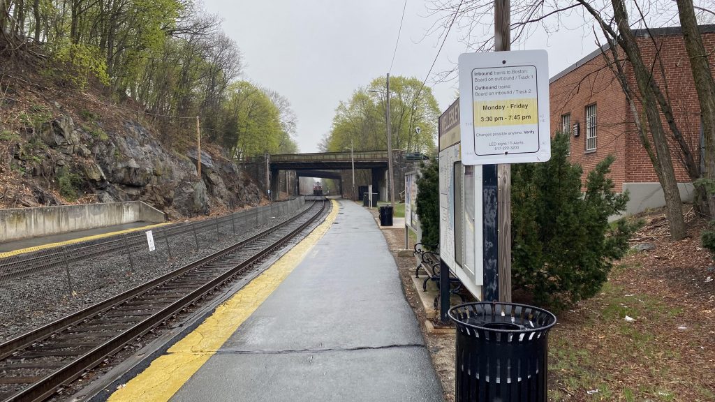
40 MINUTES?! Oh brother…
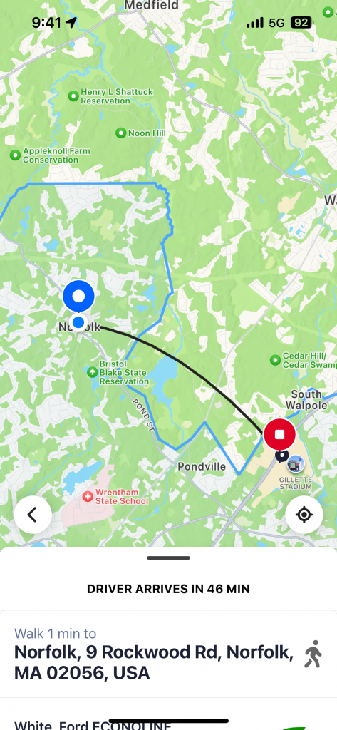
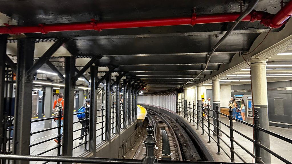
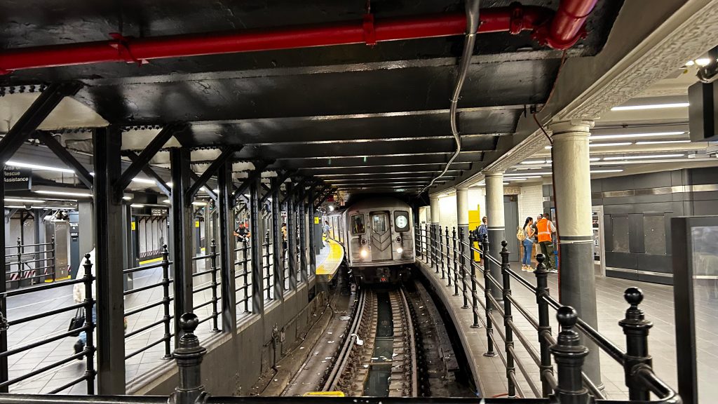
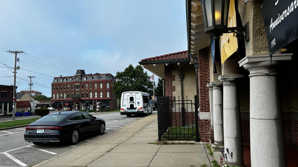
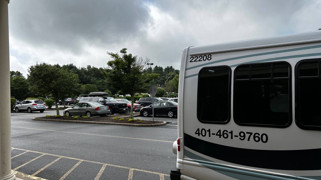
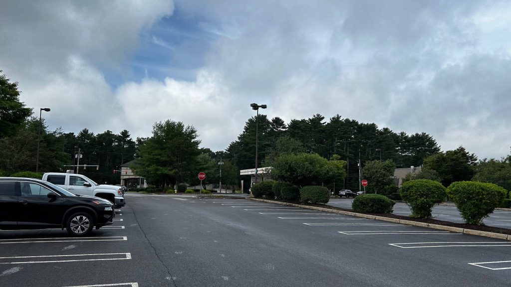
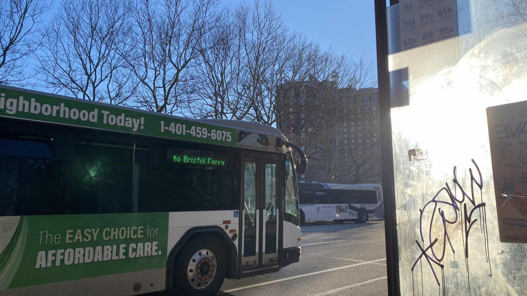
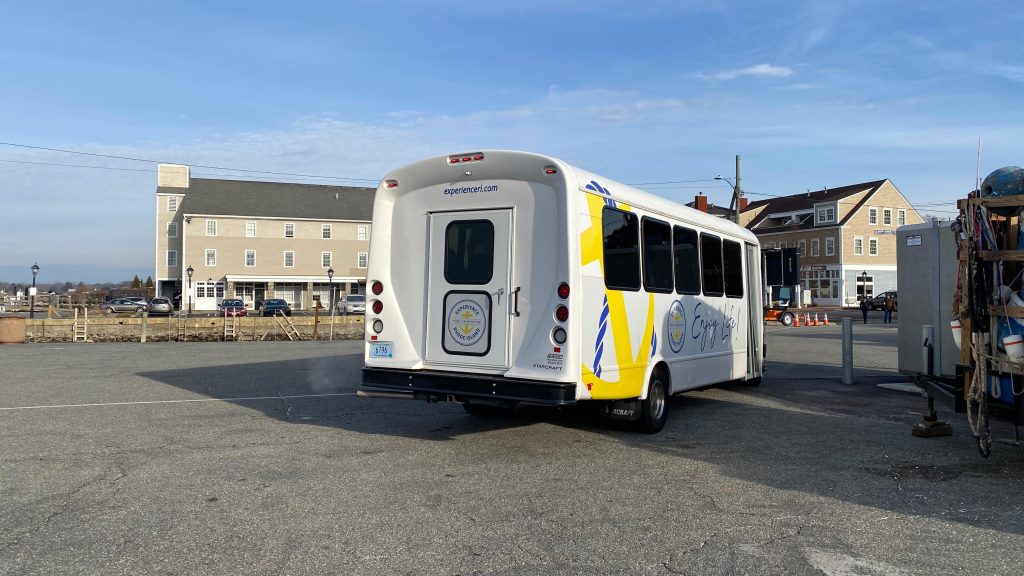
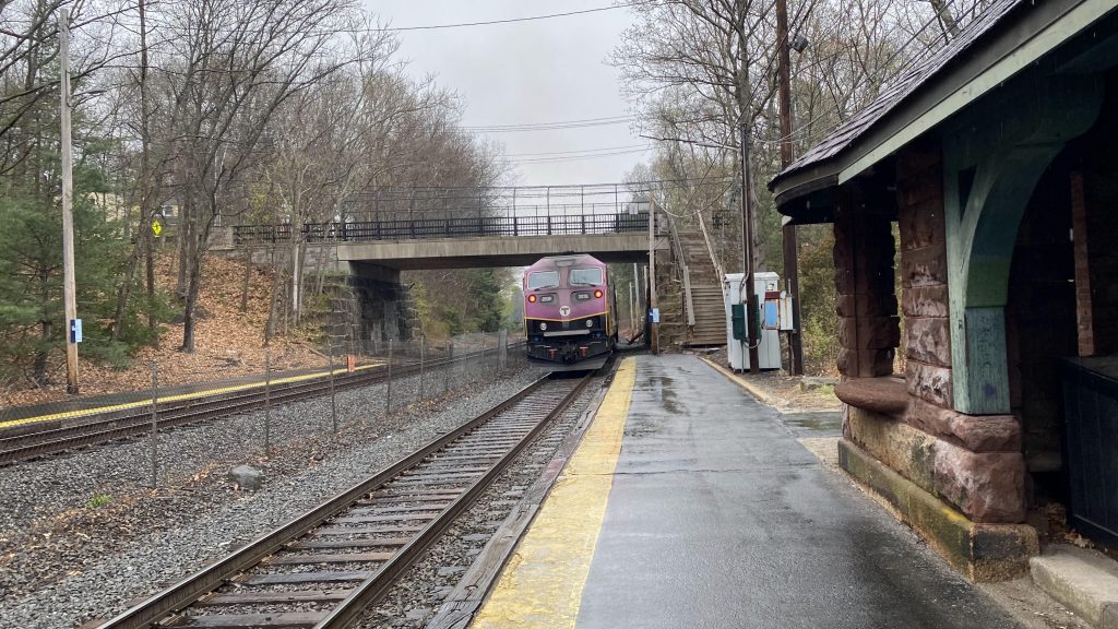
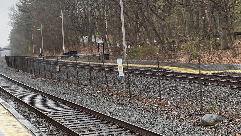
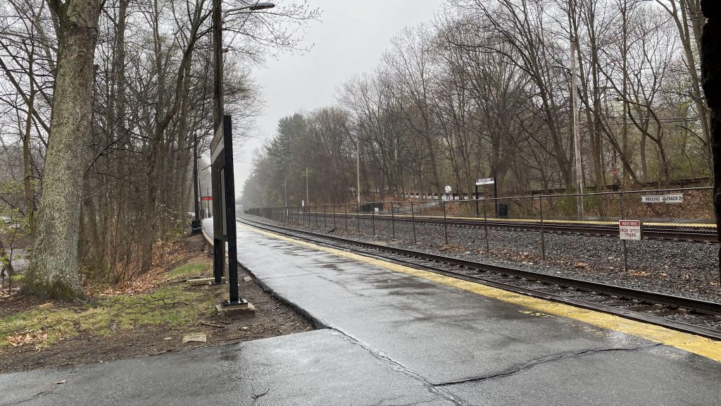
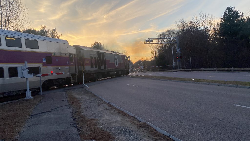
So, when I got off in Norfolk, I dialed a GATRA GO bus and it took 46 minutes to arrive, coming from the general area of Franklin. Yeah, those wait times are BAD. But, the bus actually DID come eventually. It came, crossed the Franklin Line grade crossing, and pulled into the station parking lot to pick me up. And, oh god…
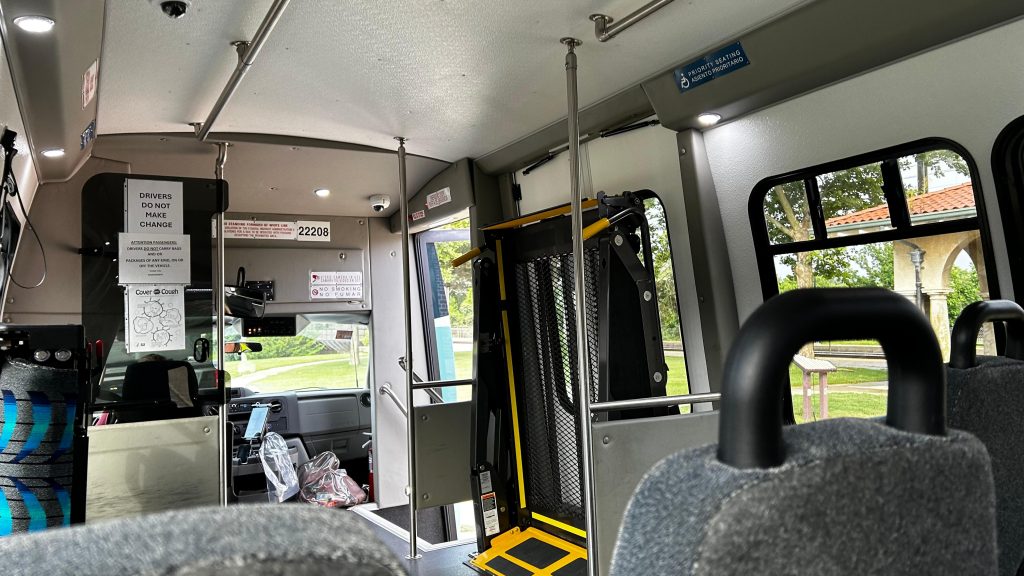
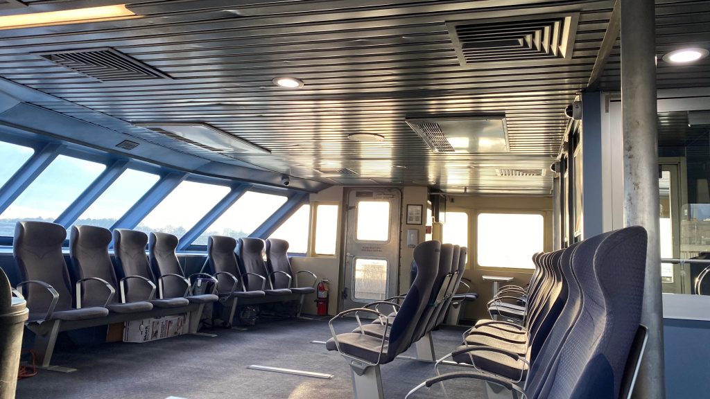
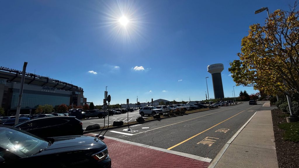
So, there were four other people, the operator and three passengers. The passengers each introduced themselves (Liv and Maddie, who were vlogging, and their friend Elias. If any of y’all see this, hi!) and we all talked a bit. Everyone else was going to Crumbl at Patriot Place, and I said “eh, why not?” (I was planning on a lunch in downtown Boston or at Five Guys in Foxboro). The two ladies continued vlogging as we got on Pond Street. Really, this was a straight shot more than anything and we made pretty good time, for what it’s worth. Didn’t pick anyone else up along the way though, but it was a rather quick ride. Though, I must wonder though: why are there no fixed routes? I get “low ridership” but ya know, ADVERTISE THEM. RUN THEM AT A CONSISTENT SCHEDULE 7 DAYS A WEEK! I digress. And then, I think I might’ve heard the most Gen Alpha brainrot thing I’ve ever heard from anyone. I’m not even sure if Gen Alpha is old enough to use GATRA GO. But, here we go:
“Sigma Ohio Skibidi.”
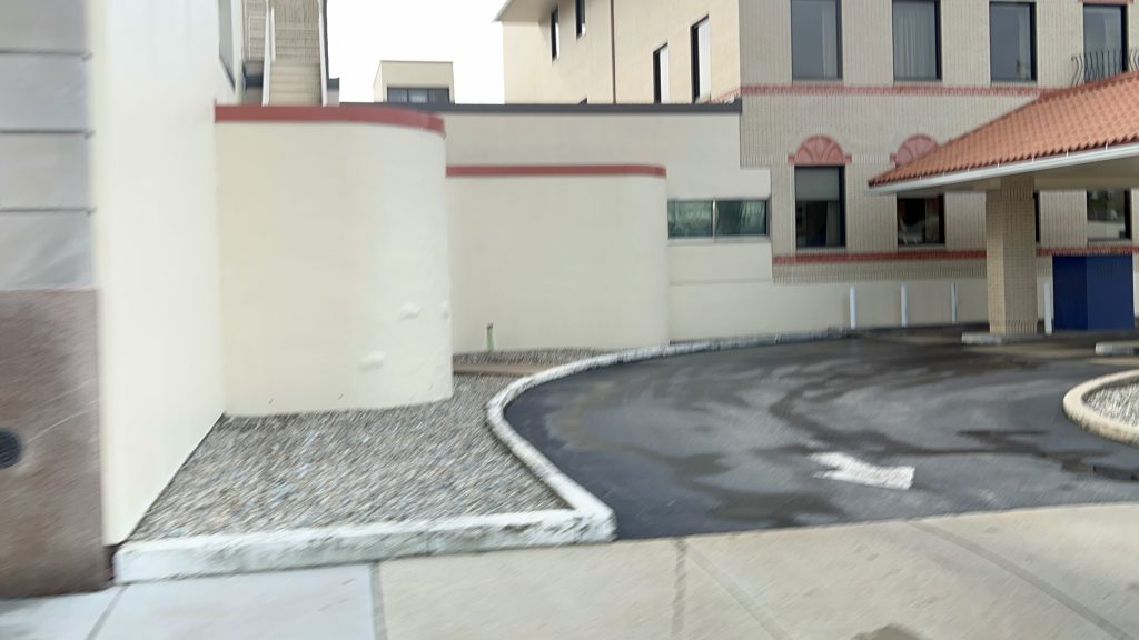
Please bleach that one out of my memory. Bleh. Cue the gif of Homer Simpson pouring bleach in his eyes, even. That aside, the ride was pretty comfortable, relaxing even, and there wasn’t even a jiggly wheelchair lift. Good job, GATRA! (or whoever owns the buses for GATRA) Eventually, we made it to Patriot Place and parted ways. And, to Maddie and Liv, I wish y’all the best of luck with vlogging.
The good: It’ll get you literally anywhere in the zone!
The bad: WHY ARE THERE NO FIXED ROUTES?! LEGIT, PATRIOT PLACE CAN AND SHOULD BE A PULSE POINT FOR LOCAL GATRA FIXED ROUTES GOING TO FRANKLIN, FOXBORO, MANSFIELD, AND NORFOLK. SEND A DAMN BUS TO WALPOLE CENTER TO CONNECT WITH THE 34E EVEN. AND FOR THAT MATTER, WHY DID THE SLOOP GET REPLACED WITH THIS?! WHY DOESN’T IT CONNECT TO ANY FIXED ROUTES THAT LINK IT TO THE MBTA IN WEYMOUTH OR HINGHAM?! WHY DOES THE PLYMOUTH ZONE NOT CONNECT TO THE KINGSTON T STATION?! WHY?! WHY DOES THE PEMBROKE ZONE EVEN EXIST AS A SEPARATE ENTITY?! WAIT TIMES ARE ALSO GARBAGE UNLESS YOU KNOW EXACTLY WHEN YOU’LL BE LEAVING AND WHEN YOU’LL BE LEAVING YOUR DESTINATION FOR YOUR RETURN – MOST PEOPLE AREN’T INFLEXIBLE LIKE THAT! THAT’S IF IT EVEN WORKS AT ALL.
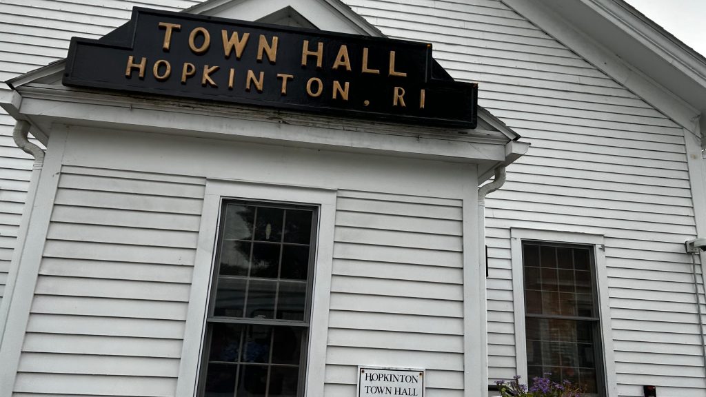
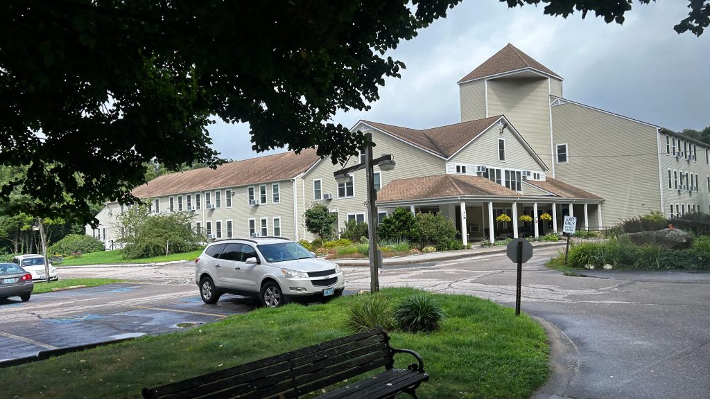
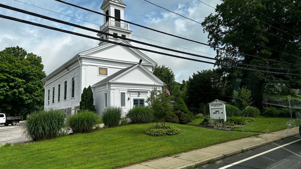
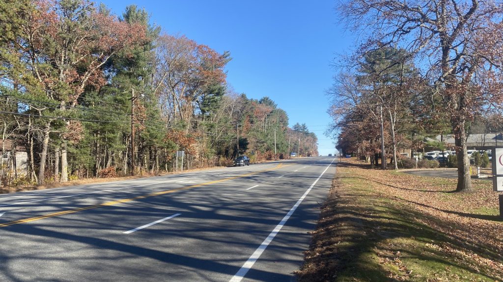
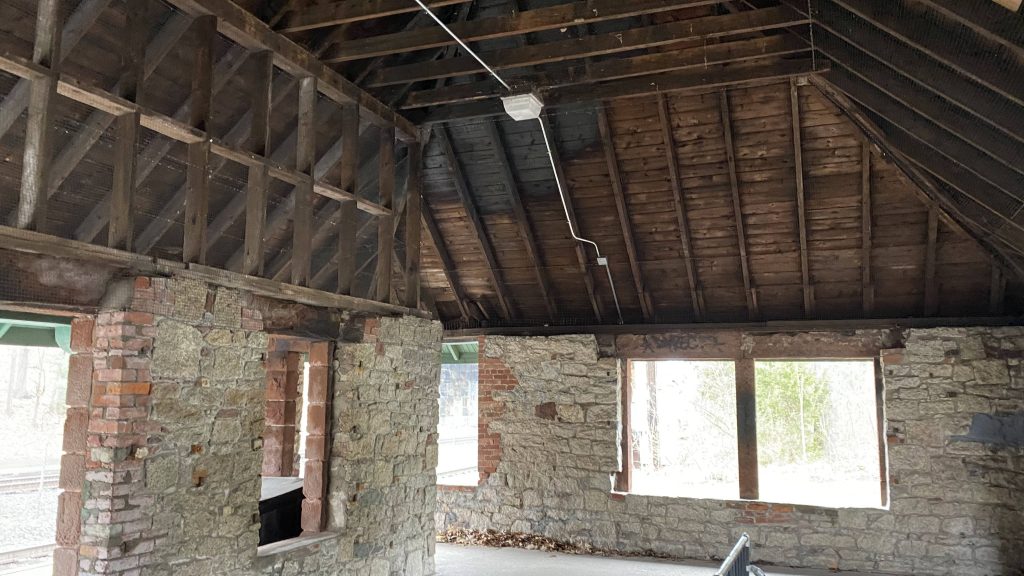
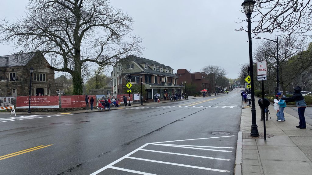
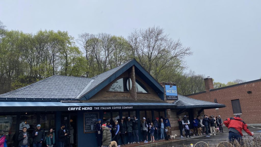
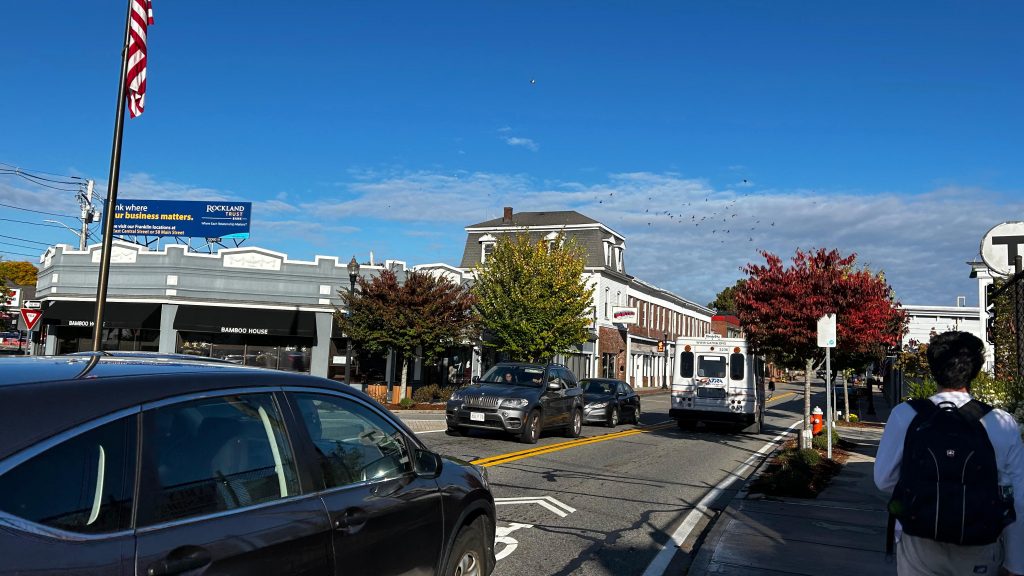
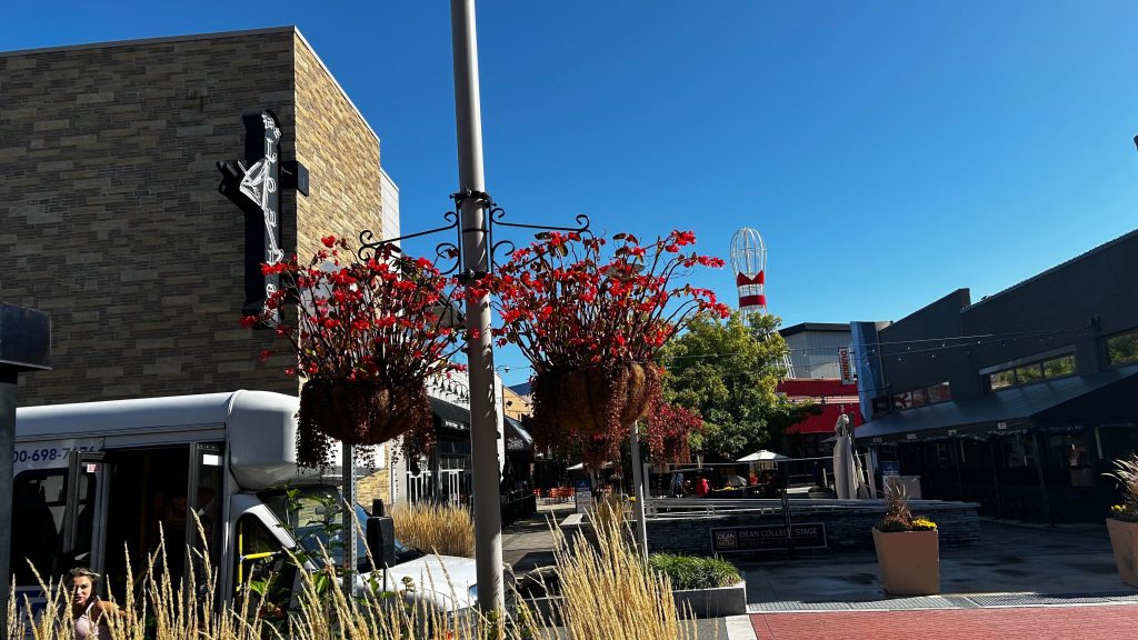
Nearby points of interest: Franklin’s town center is cool, as is Patriot Place! You also have Plymouth’s downtown, Scituate & the Greenbush Line, and whatever the hell is in Pembroke.
Overall, WHY?! WHY DID THEY KILL FIXED ROUTES FOR THESE?! JUST WHY?! AAAAAAAAAAAAAAAAAAAAAAAAAAAAAAAAAAAAAAAAAAAAAAAAAAAAAA
Rating: 2.5/10
THIS SHOULD SUPPLEMENT FIXED ROUTES, NOT REPLACE THEM. GATRA GO, MORE LIKE GATRA GO FUCK YOURSELF.