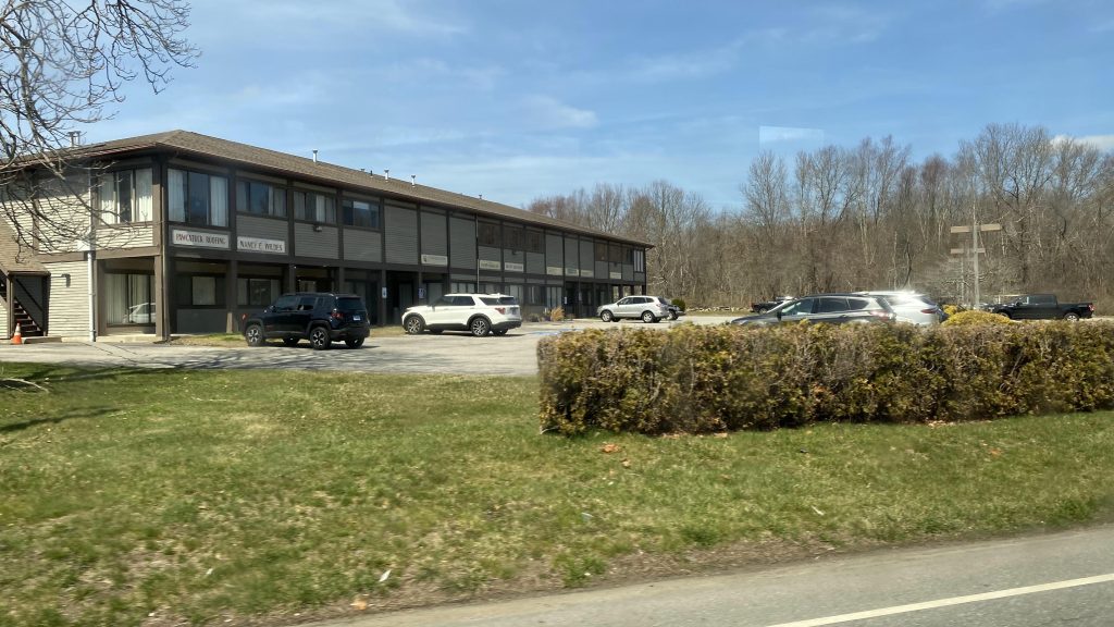
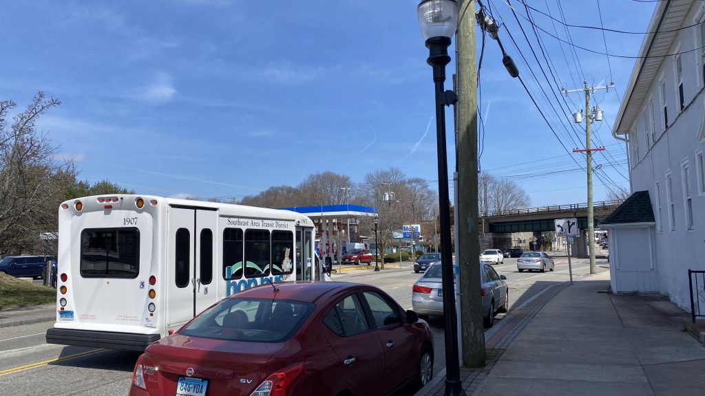
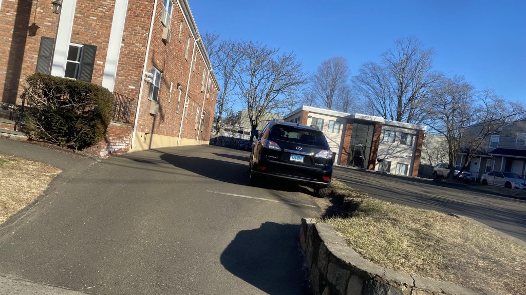
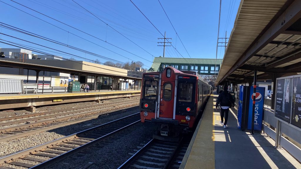
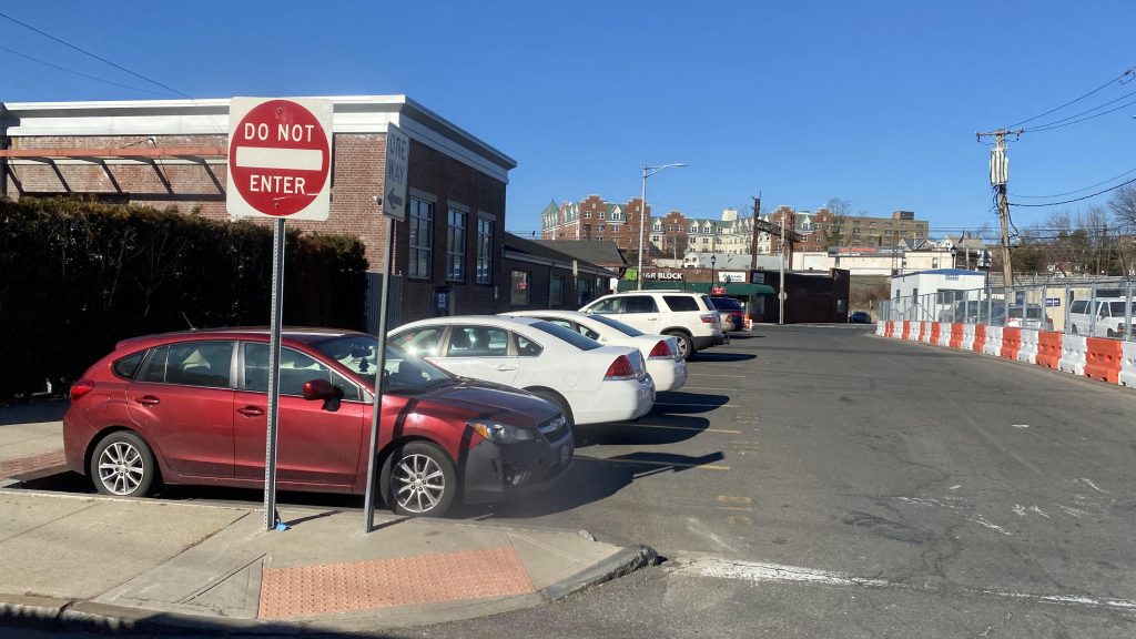
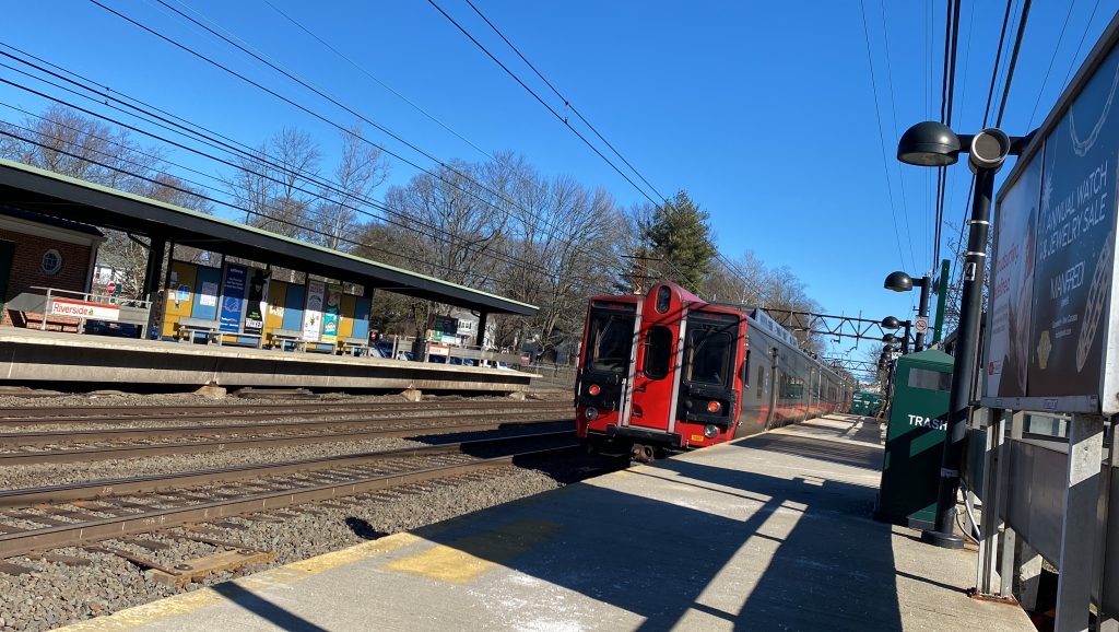
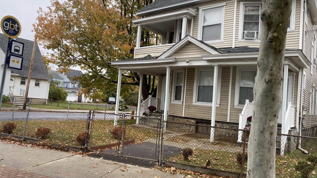
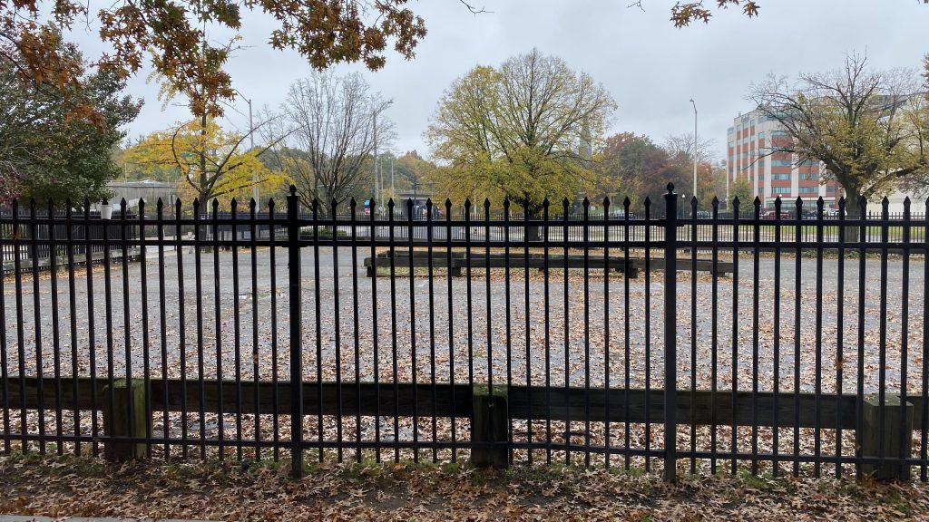
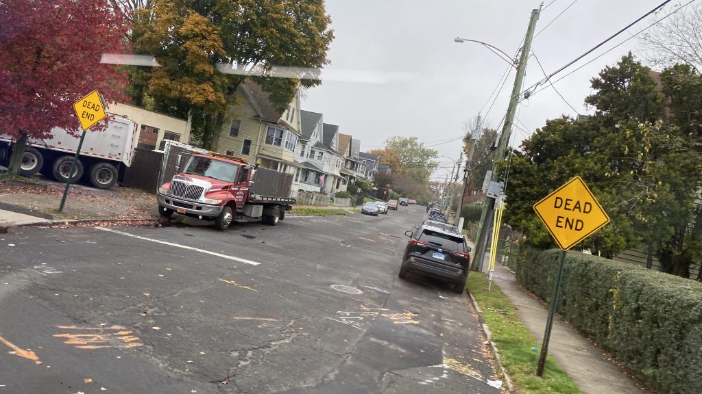
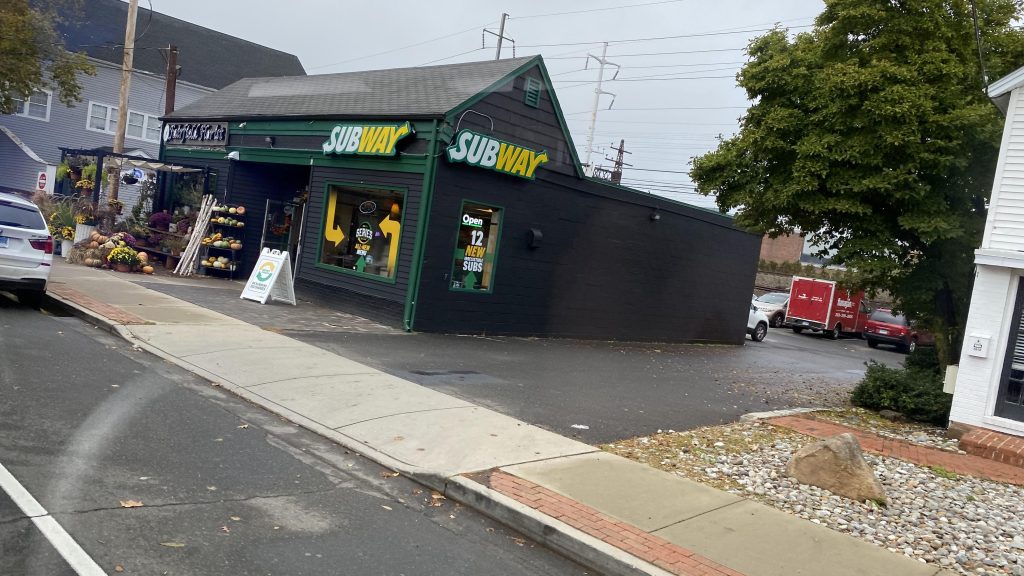
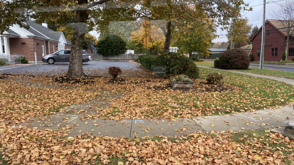
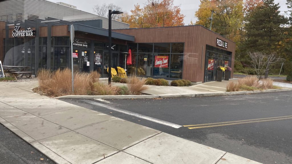
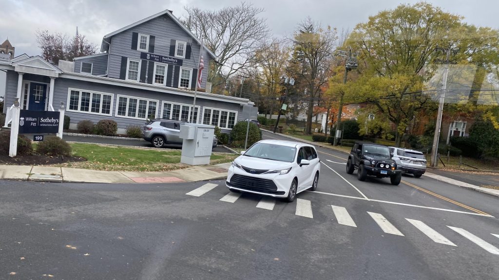
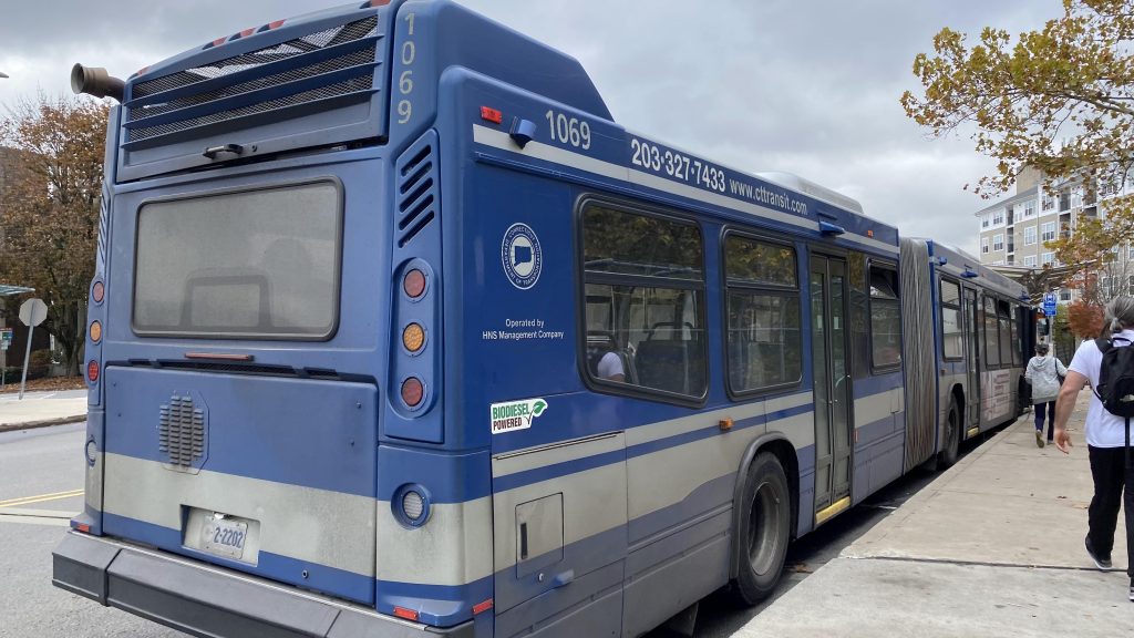
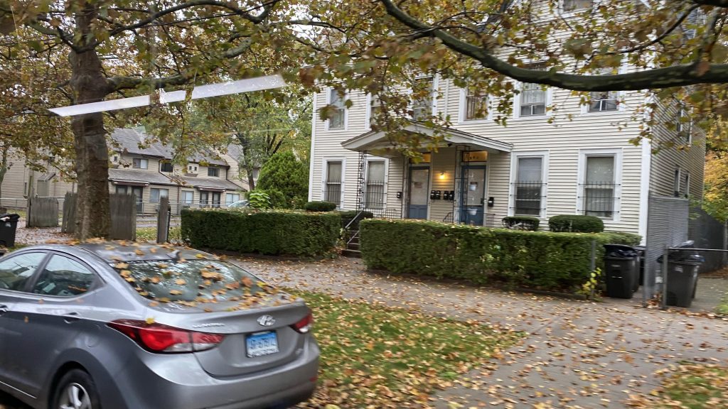
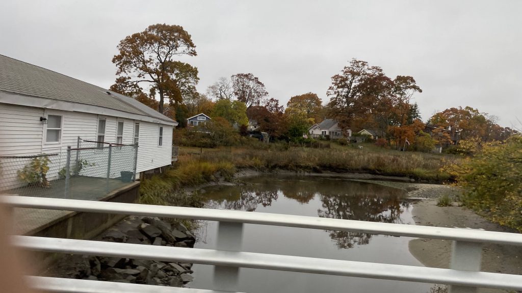
Alrighty, so we’re on to SEAT and our first entry is …a dial-a-ride. Oh dear god. Well, it can’t be that bad, right? Let’s look.
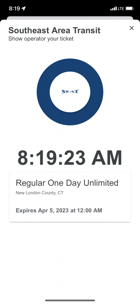
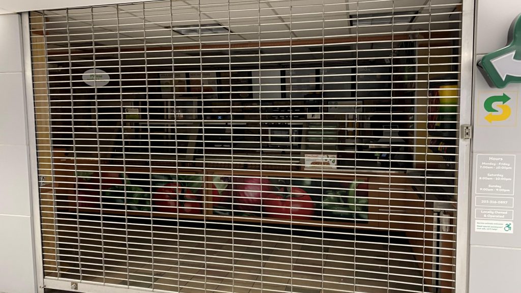
Token Transit?!
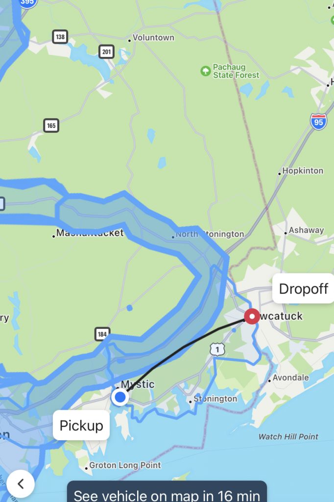
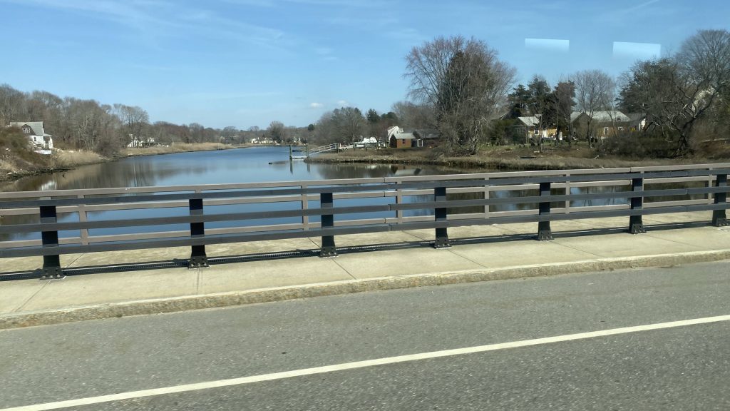
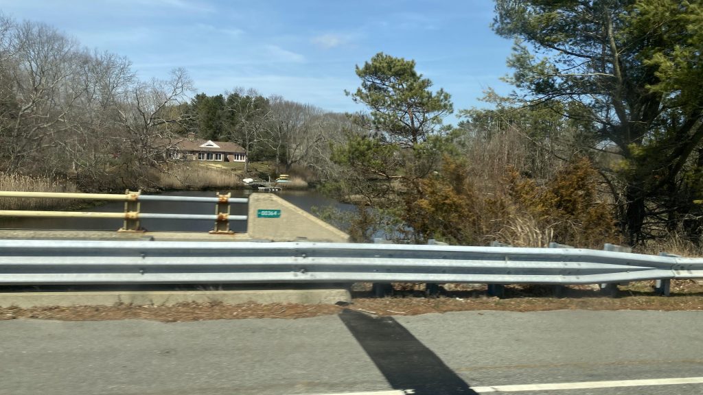
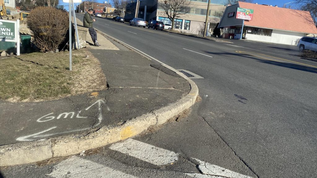
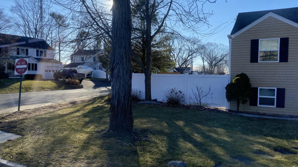
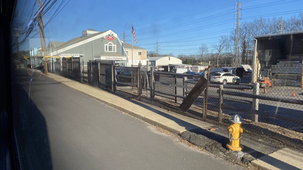
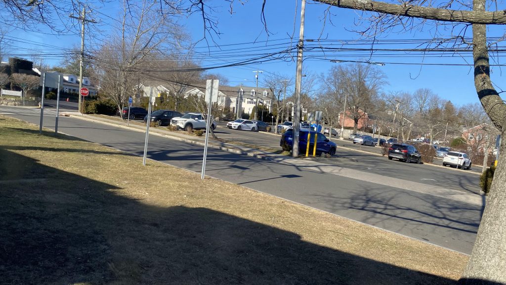
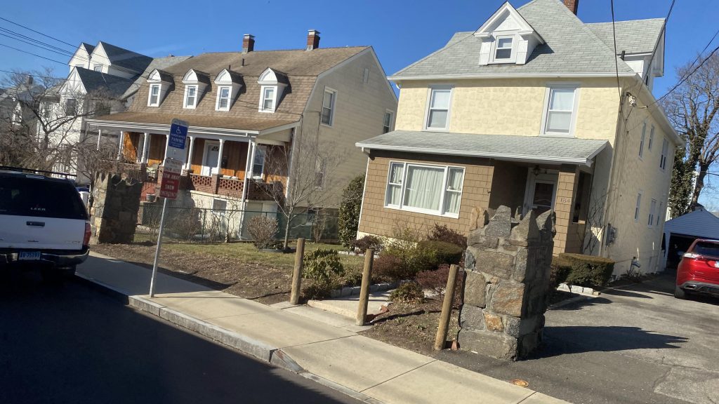
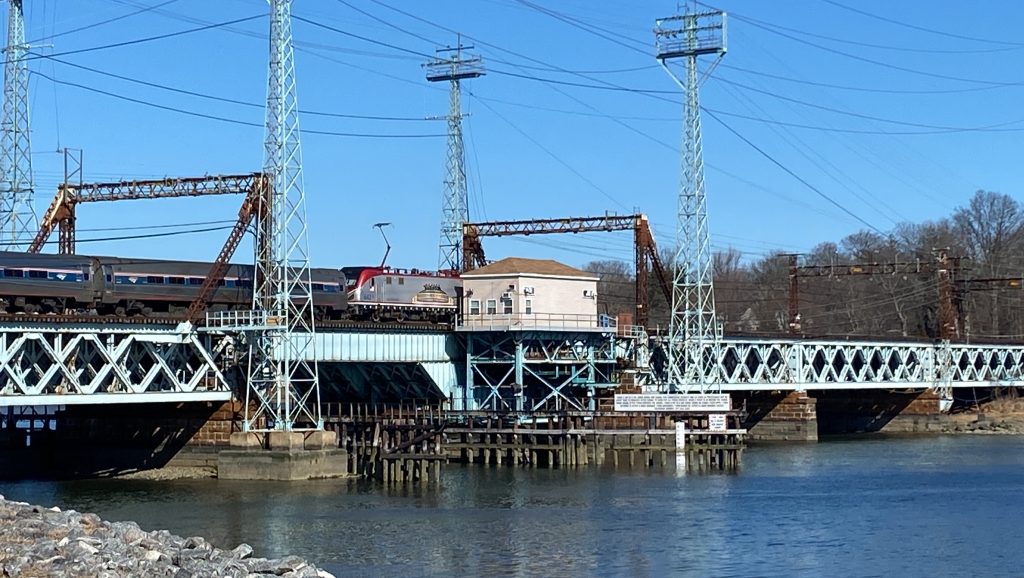
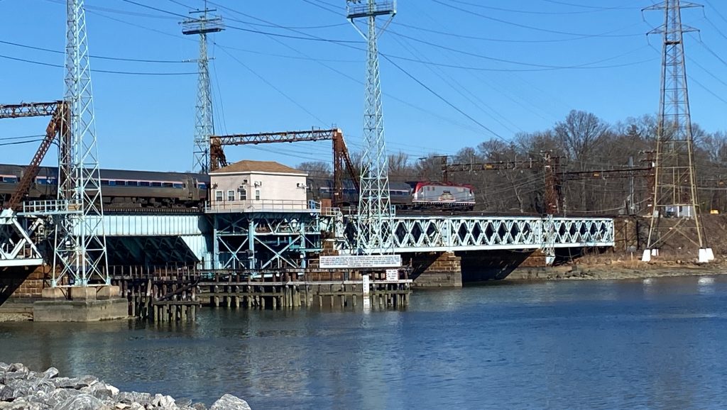
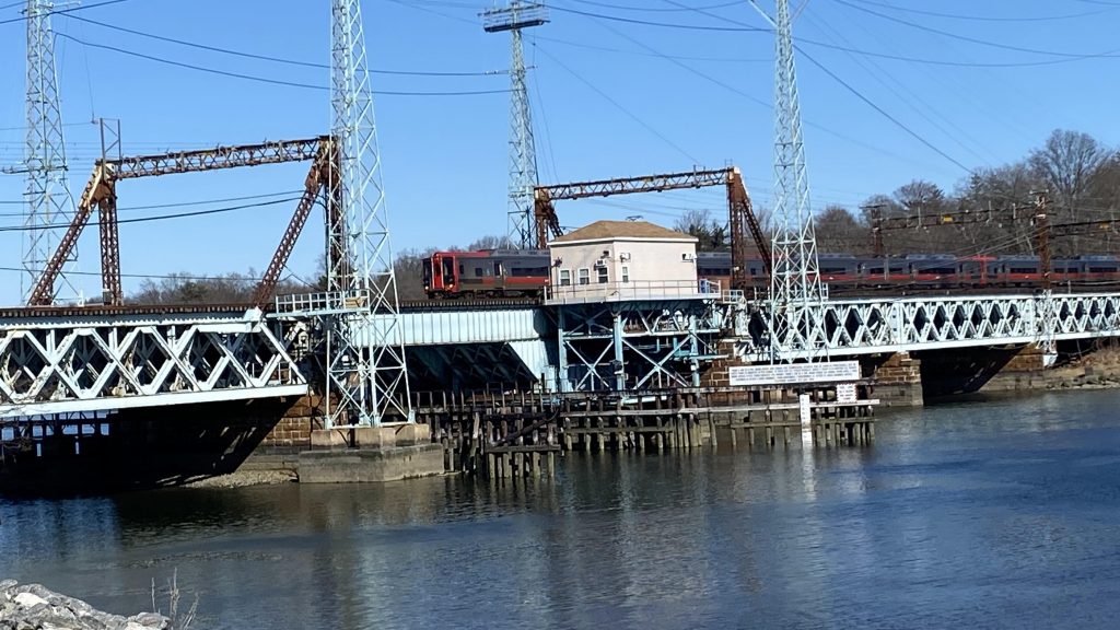
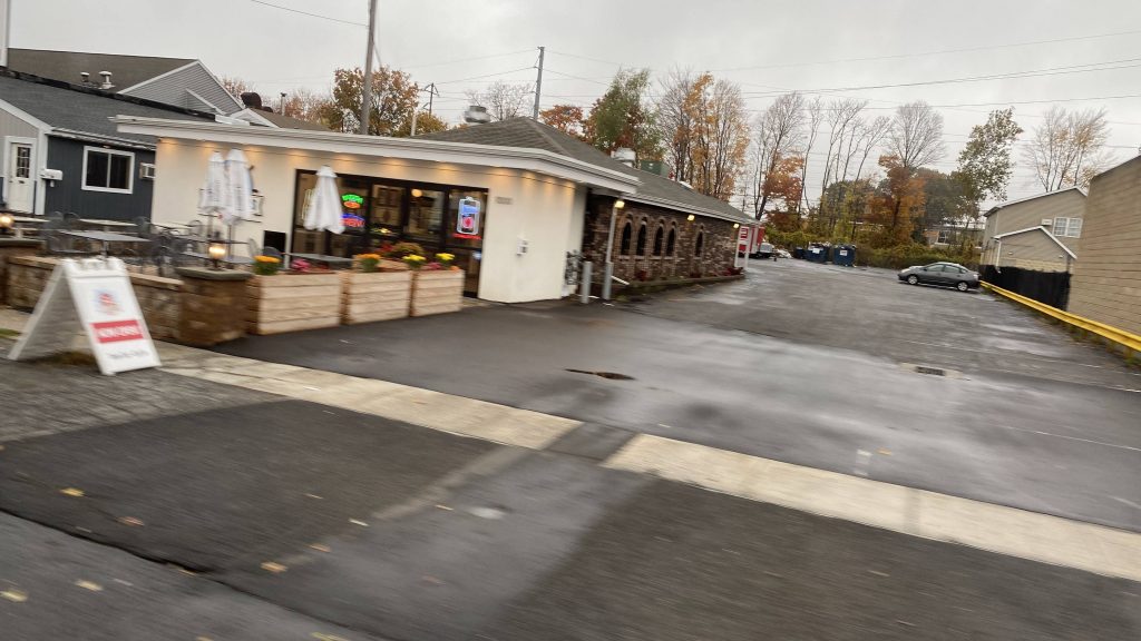
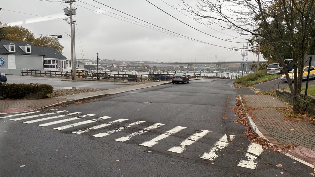
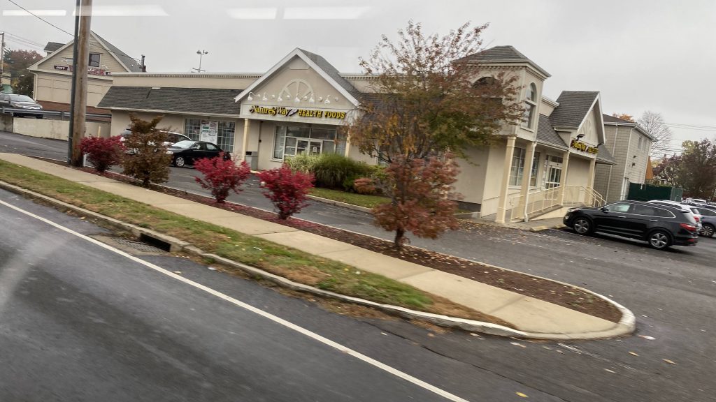
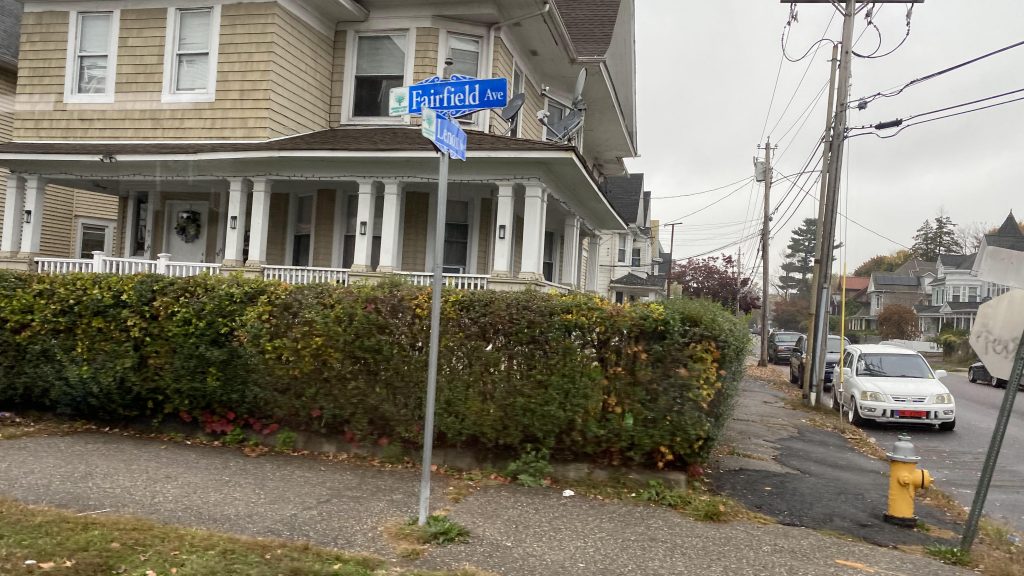
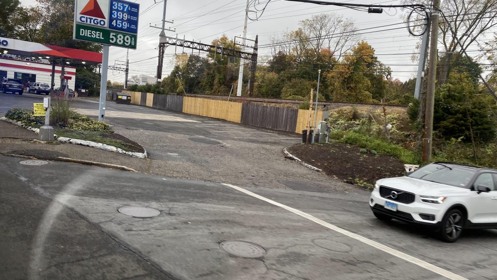
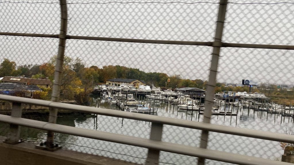
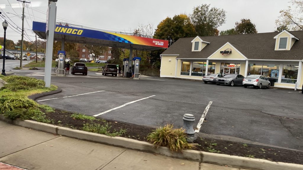
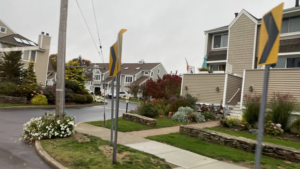
So, after downloading Token Transit and the SEAT Connect apps onto my iPhone, I was ready to use the Stonington HOP. After railfanning a bit and having lunch in Mystic Village, I was ready to make my way to Westerly. The drop-off point? Some random gas station near the state line!
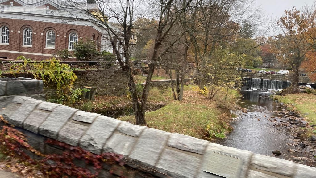
HOP across Stonington!
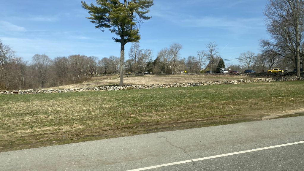
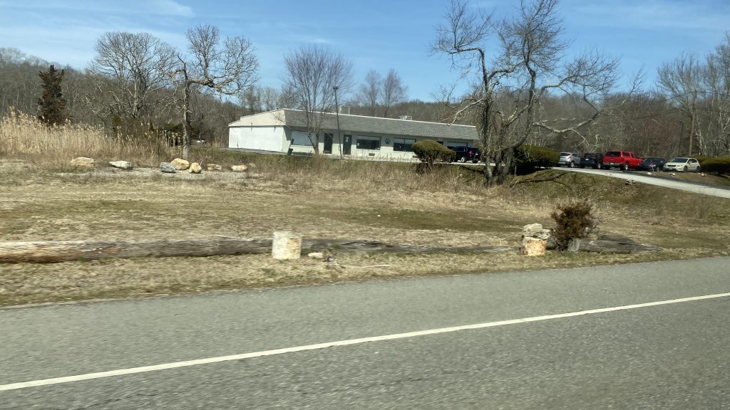
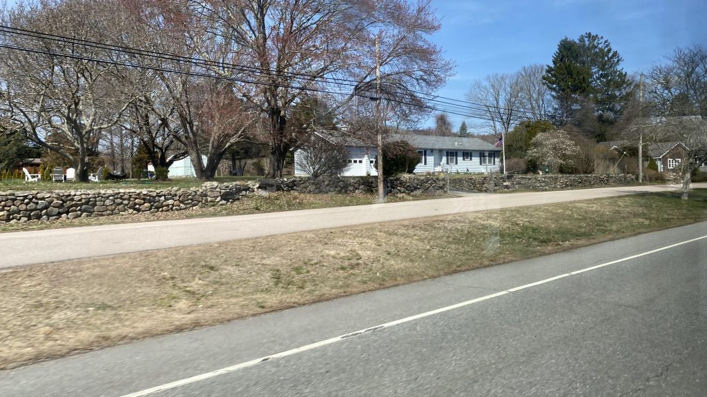
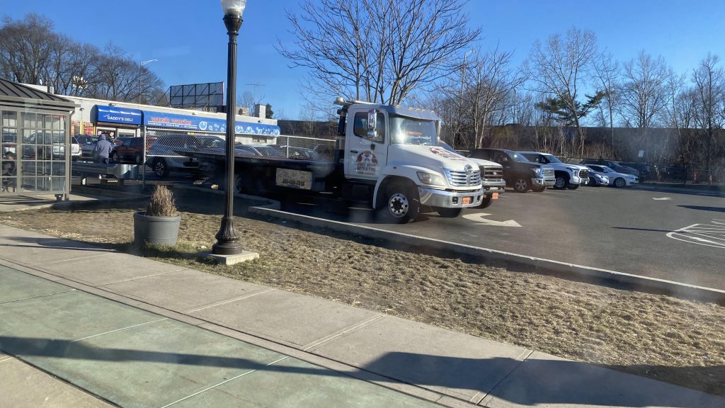
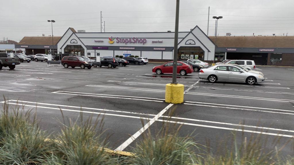
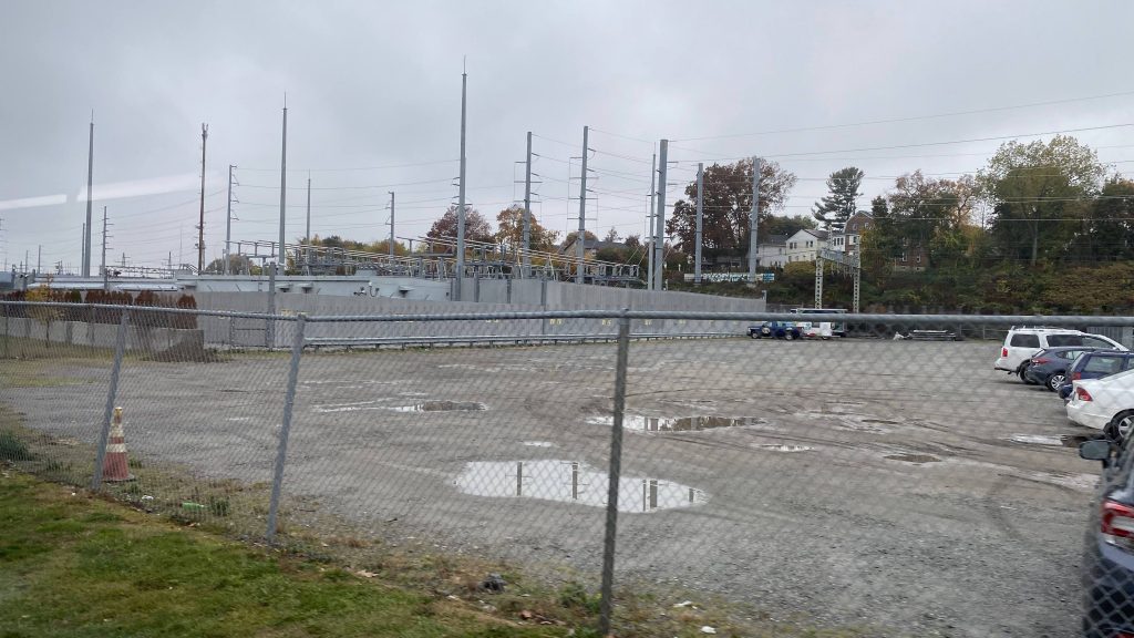
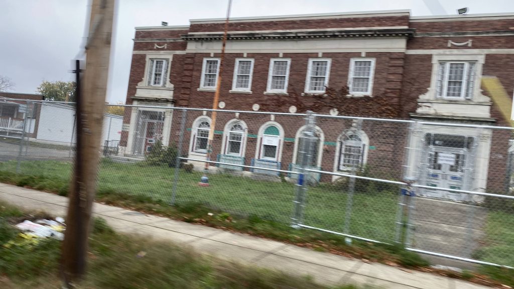
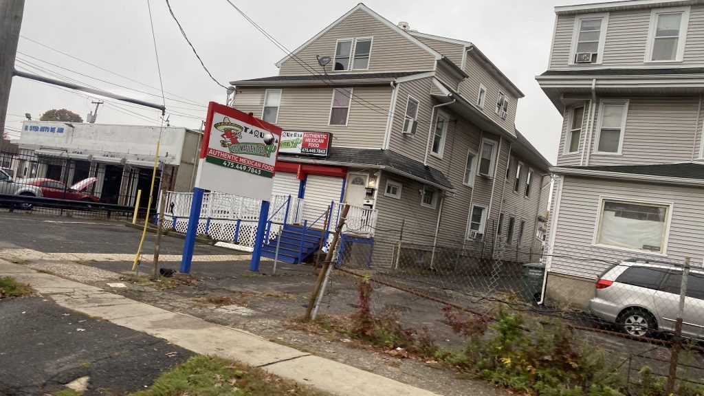
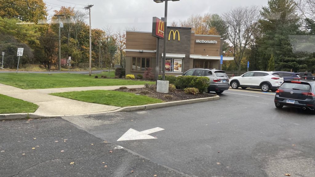
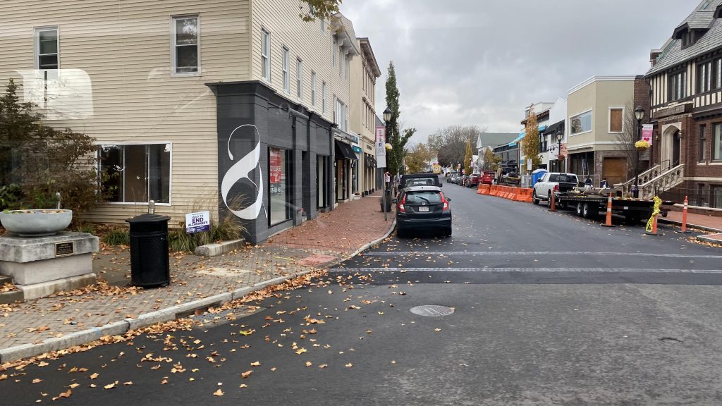
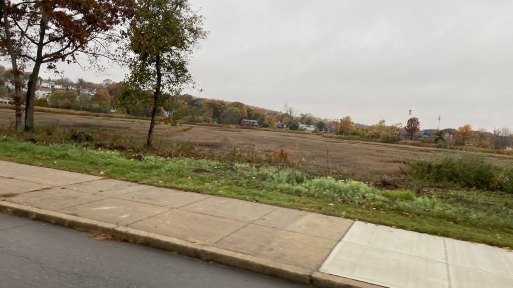
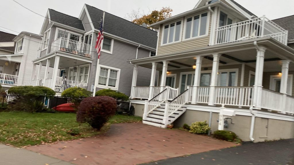
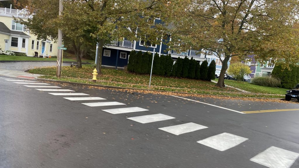
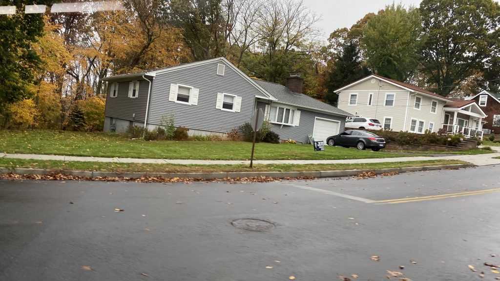
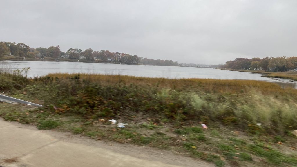
After dialing my ride and waiting about 16 minutes, it showed up on the map in the app and, eventually, made its way to the train station. From here, I boarded the bus, put my phone against the Token Transit reader, and confirmed I was heading to Pawcatuck (not Pawtucket!). The driver asked me if I lived in Westerly, to which I said nah and happened to instead be transferring to RIPTA there (which I was, stay tuned!). In terms of the routing, it was pretty much a straight shot down US-1 through Stonington. And, with how Stonington is, it’s pretty much rural the whole way. However, we did end up deviating to Brookside Village to pick up an old lady, who happened to have a change of plans due to the 108 being caught in major I-95 traffic. She, however, got off after I did. But, aside from her, there was pretty much nobody on the cutaway van (which, yes, was plagued with jiggly wheelchair lift syndrome).
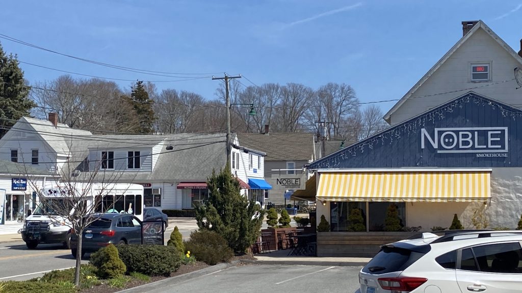
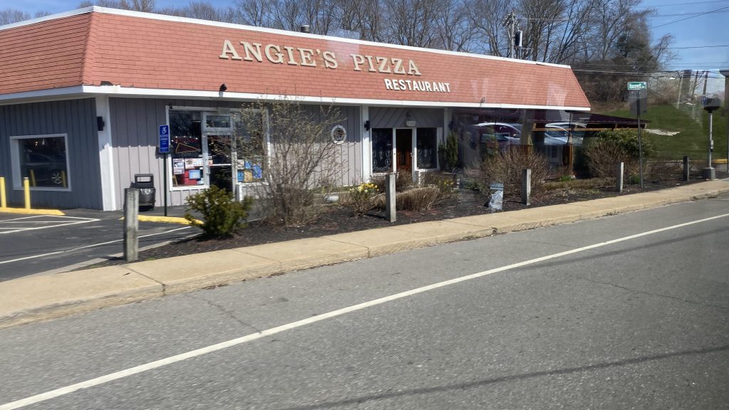
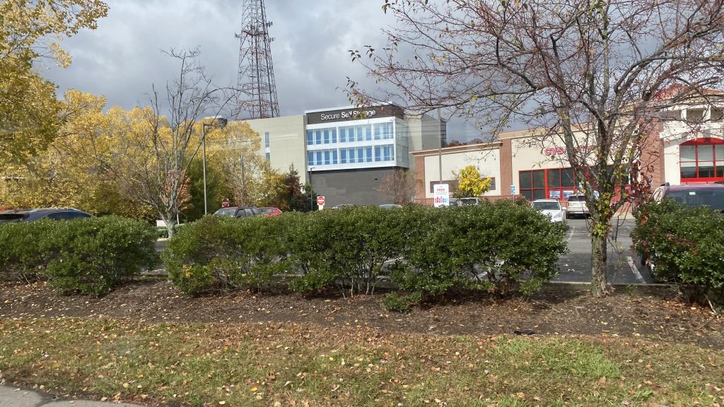
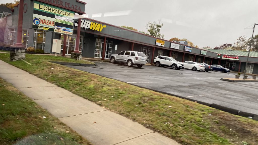
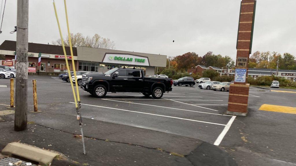
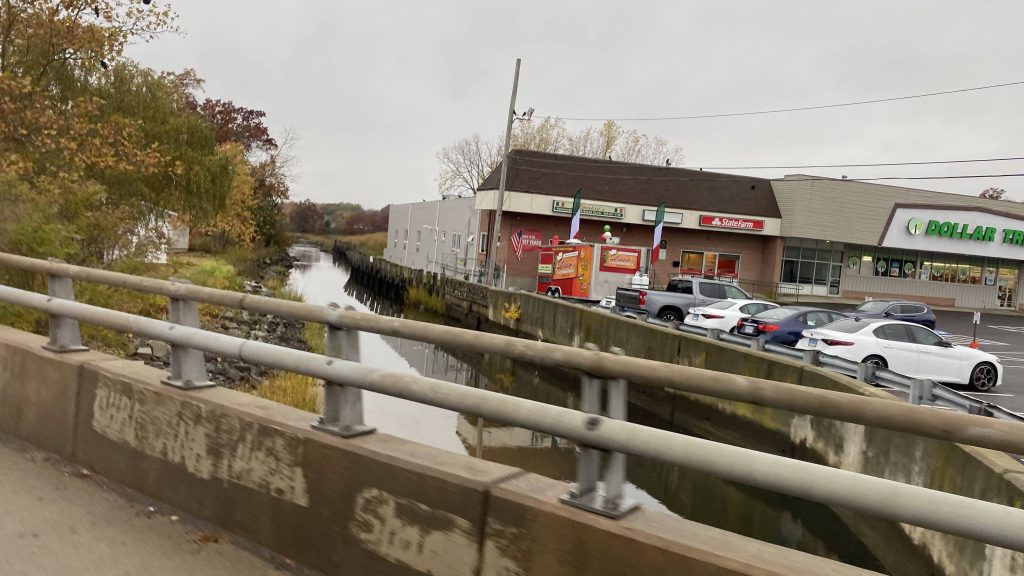
The cutaway van!Pizzeria!One of several rivers!A house!Big Y!Another river!And another one!A field!Pretty sure this was a veterinarian clinicMore rural housing!Strip mall!There is a sbubby in this plazaDeviation time!Now flying down US-1!Bye!!!
The good: It’s a lifeline for Stonington! Yeah, it’s irritating it couldn’t supplement the 10 instead of outright replacing it, but for what it is and the general nature of Stonington, it’s probably the best option for serving the town effectively with transit. Also, the span of service is alright for a rural dial a ride!
The bad: Eh, it can be a little unpredictable at times, but that’s just the nature of dial a ride systems. Furthermore, the fact certain passes aren’t accepted isn’t that great either. The map on the SEAT Connect app can also be a little confusing to some as well (says some bits of Stonington aren’t in the service area? Also placed the pickup point the next building over to the train station?) Also, jiggly wheelchair lift.
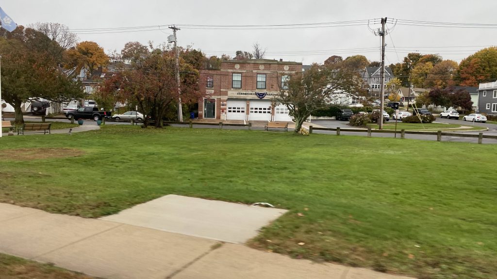
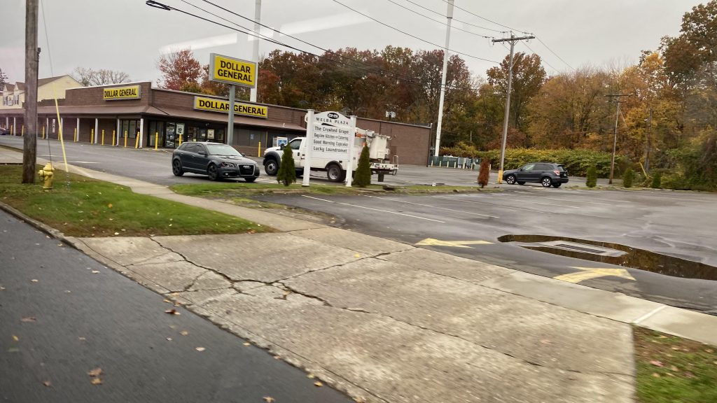
Nearby points of interest: Mystic Village, Stonington Center, Pawcatuck, and the entire town of Stonington!
Overall, it gets the job done. It’s not the best solution, but when you’re serving rural areas with public transit, there really isn’t any legitimately “good” solution so much as there is a “least bad” solution. However, I can comfortably give it a decent enough score. And, what’s with dial a ride and flexible route operators seemingly always being more friendly in general than their fixed-route counterparts? Just an observation I’ve made.
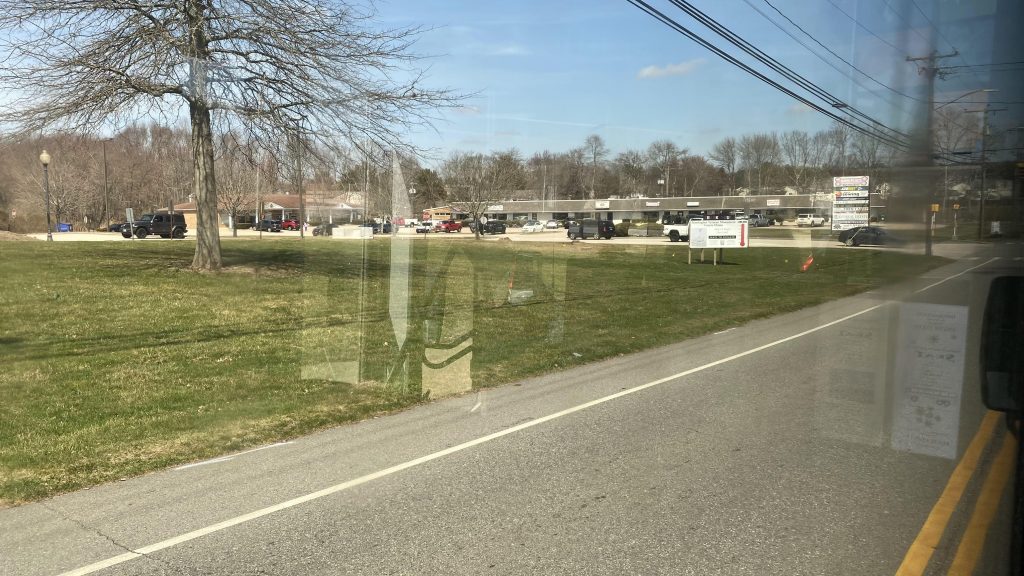
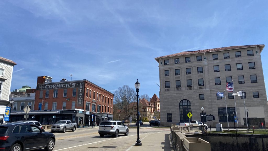
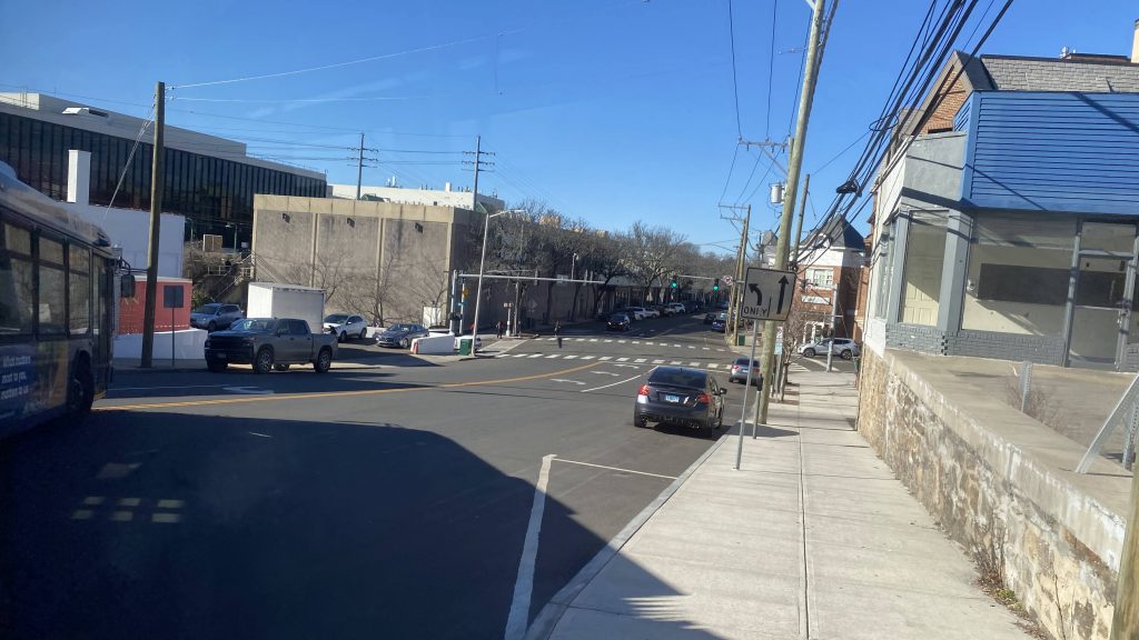
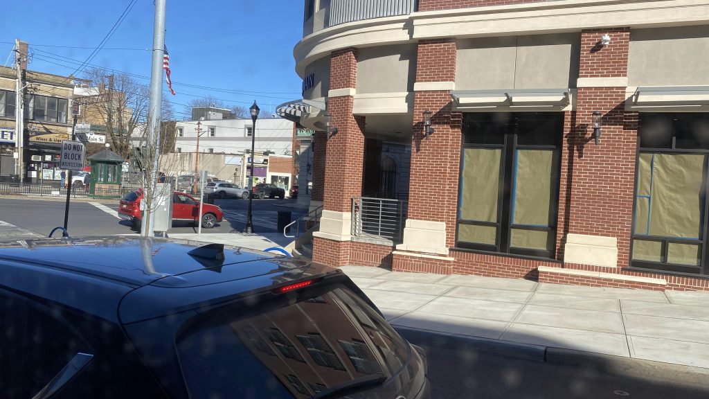
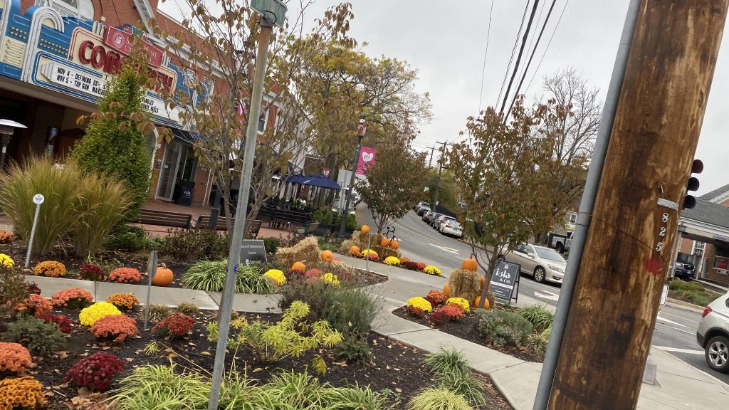
Alrighty, the second bus route I rode this day! Initially, I was going to take the New Canaan but uhhhh, yeah, my plans got derailed (literally). So, this’ll have to do.
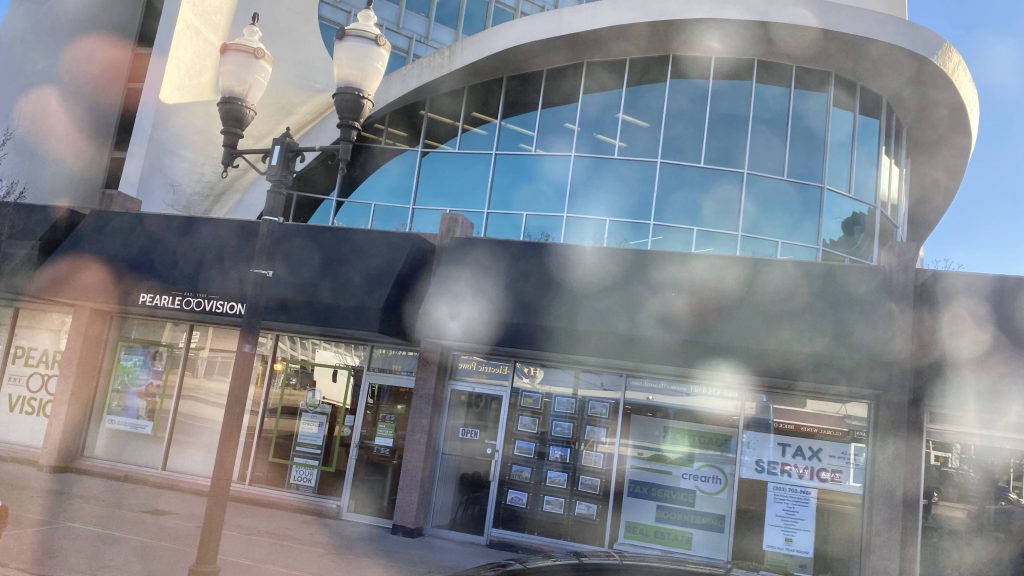
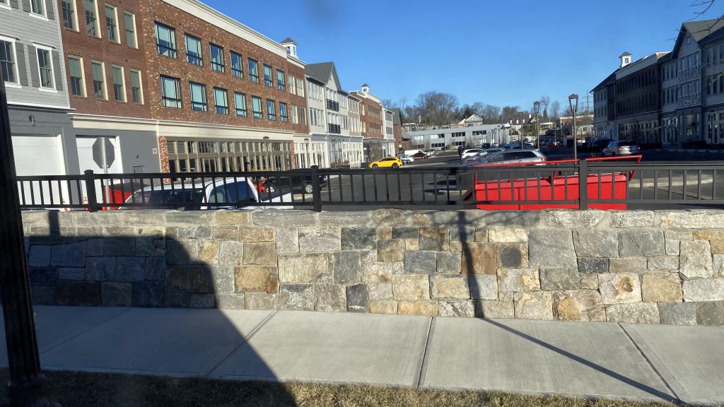
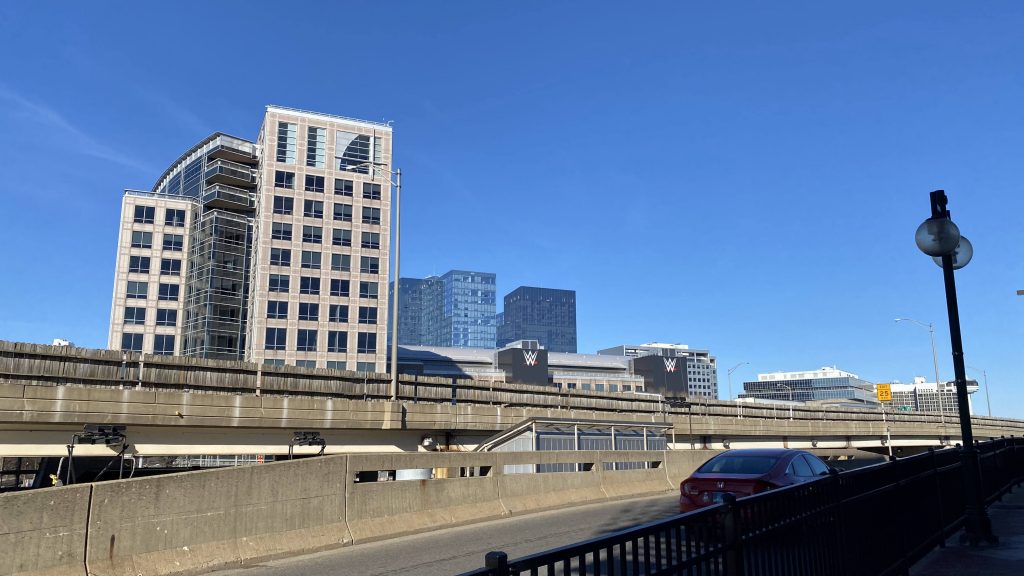
Construction in downtown Stamford!
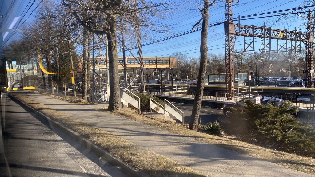
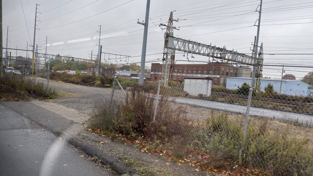
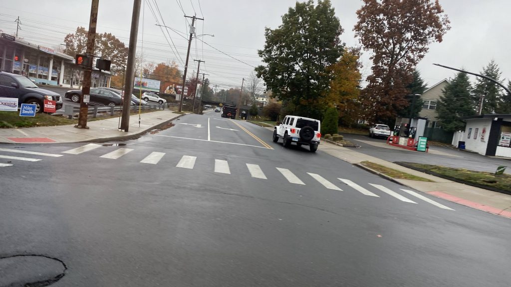
So, off to the races we go! We leave the under-I95 bus terminal at the McKinney TC, taking a few turns up Washington Blvd., Tresser Blvd./US-1, and Atlantic Street, passing by the Stamford Town Center shopping center in the meantime. We’d then turn right onto Broad Street, which becomes East Main Street (US-1), crossing the Northeast Corridor.
A furniture store!Some offices near the shopping centerNot the cleanest of windowsMore of downtown Stamford!Taco Bell!
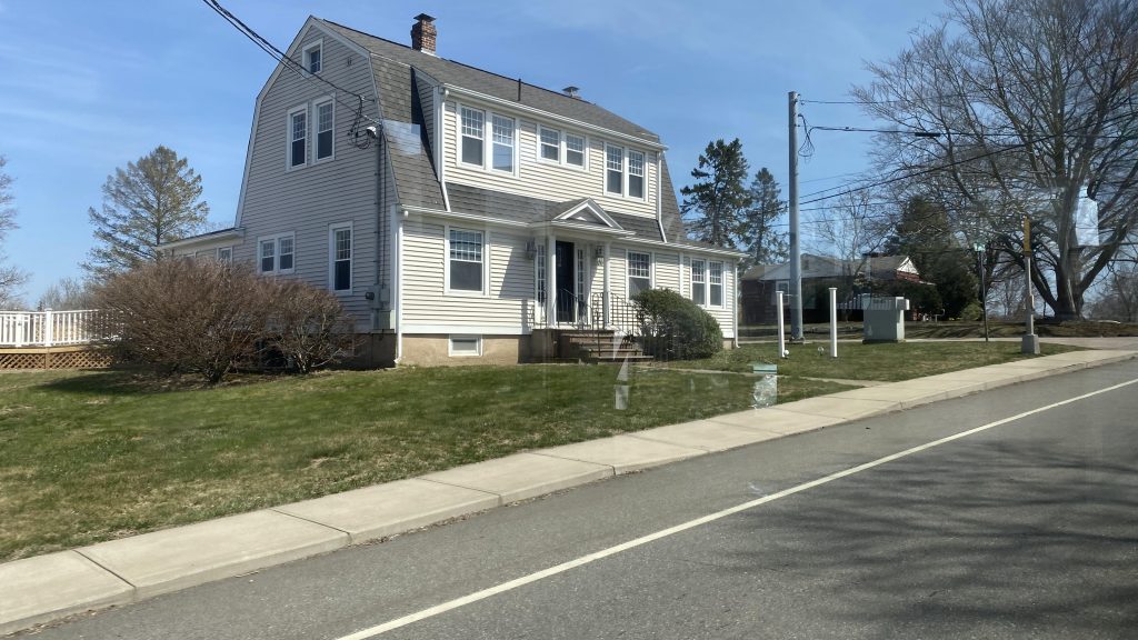
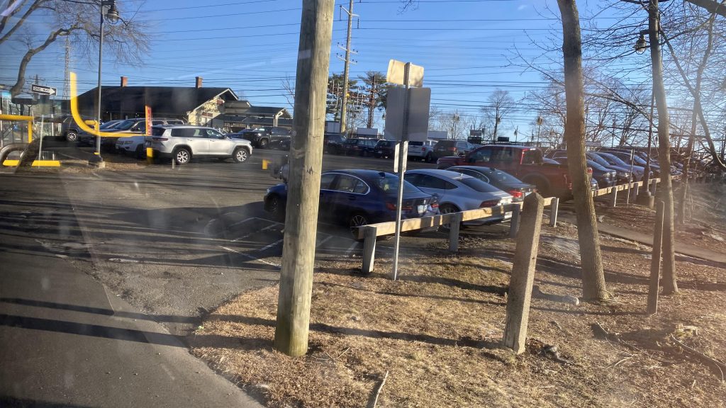
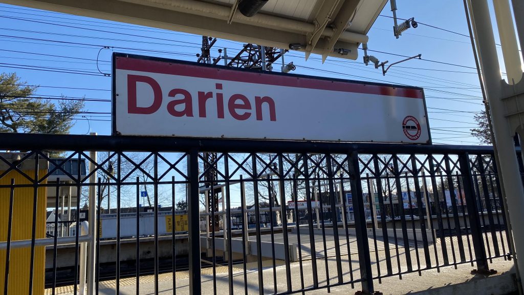
Ridership was low at first, but as we turned down a side street, Hamilton Avenue, and Glenbrook Road, it got steady with a modest amount of people. We kept passing by residences, even turned right crossing the bustituted New Canaan branch and Glenbrook’s Metro-North station. At this point, there wasn’t a lot to remark about, aside from the fact we were waist-deep in a residential neighborhood, a deviation into Noroton Heights’s Metro-North station, and a shopping center. Pressing on down West Ave., we’d reach Darien without much of note.
A tow truck!Down a side street we go!Apartments!The Northeast Corridor, again!More apartment buildings!Citgo & Glenbrook MNRR!Some vans!They say a group of Karens is called an HOA.More residential!Noroton Heights MNRR!TOD?A gas station!Almost at the end!Rich NIMBYism, probably!Darien MNRR!Made it!
The good: Well, it serves a lot of residential stuff! Uhhh, yeah, that’s pretty much it. Also, Glenbrook’s and Noroton’s train stations.
The bad: While hourly is probably enough, the weekend schedule is just “nah”. No Sunday service and the last normal trip is in the 7PM hour! Just, why?!
Nearby points of interest: The three Metro-North stations! There’s also a park near Glenbrook and a few shopping centers!
Overall, it’s okay, however the lack of Sunday service hinders this route’s potential greatly. Which is a shame, since people still need to use Darien and Noroton Heights on weekends.
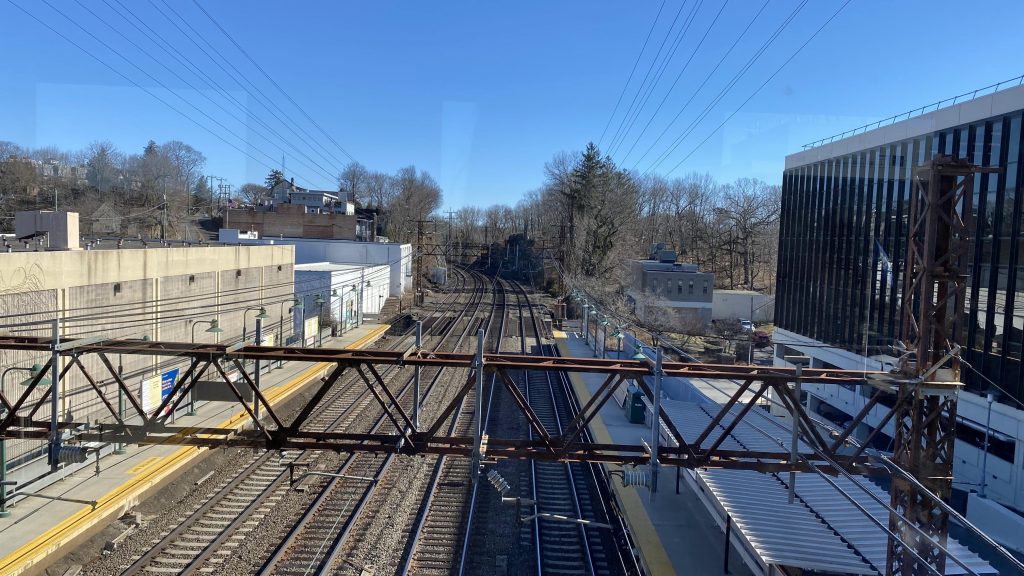
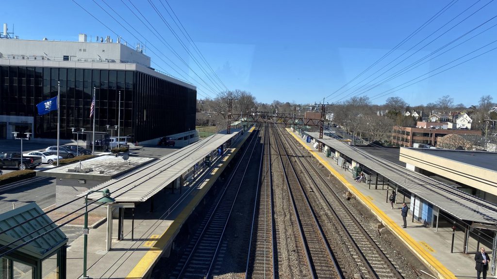
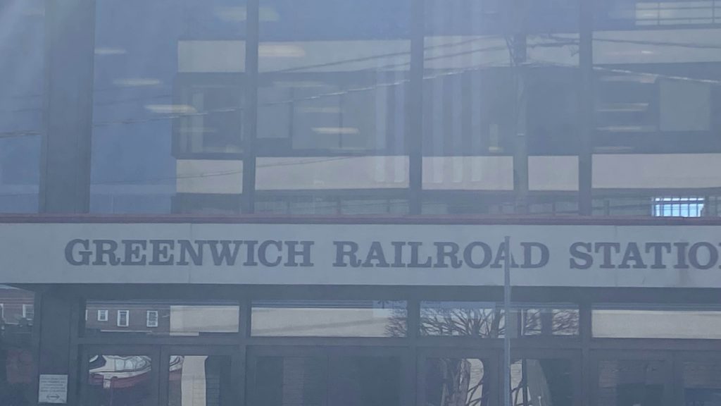
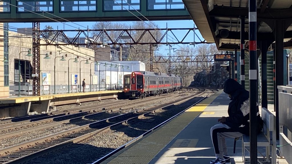
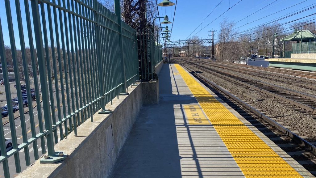
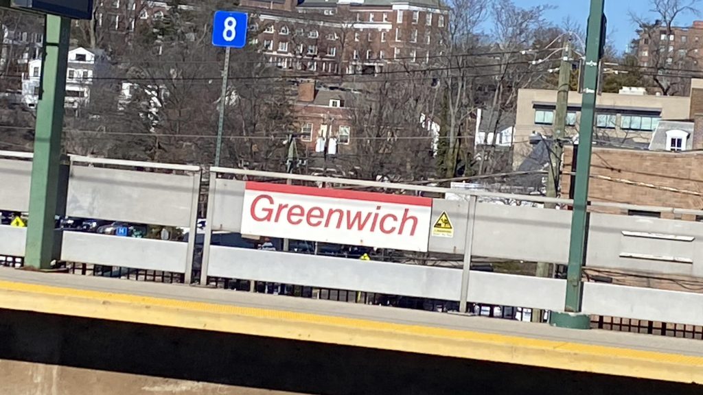
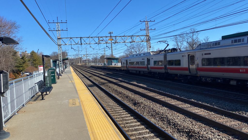
Alrighty, the last of the four Greenwich Metro-North stations, and this one is in Greenwich’s town center! So, let’s see how decent this is. Here we go!
Alrighty, so getting off the train after Port Chester, and we’re in a modern-ish station. It does feel vintage, though, and rightfully so as this was built during the Penn Central era. As a plus, unlike the other three Greenwich-area stations, it’s accessible! Yes, elevators exist for crossovers!
Bye!The bridge!UHHHHHHHHH
Yeah, I don’t think exposed wires are supposed to be where the fire alarm goes. That’s safe! I didn’t give the elevators the piss test, but it’d probably pass due to the rich NIMBY nature of the town.
Towards Stamford and points east!And towards New York!
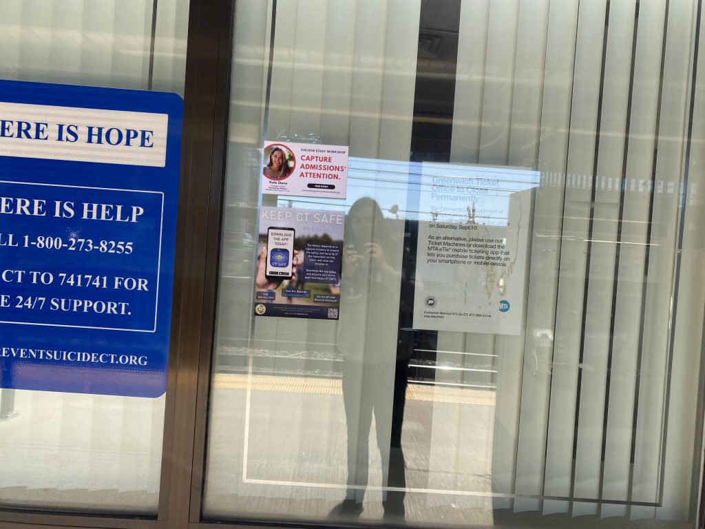
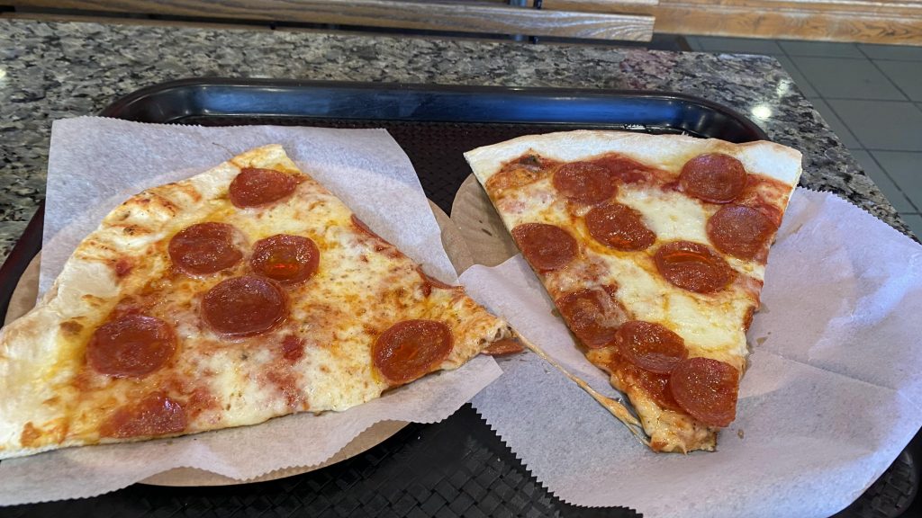
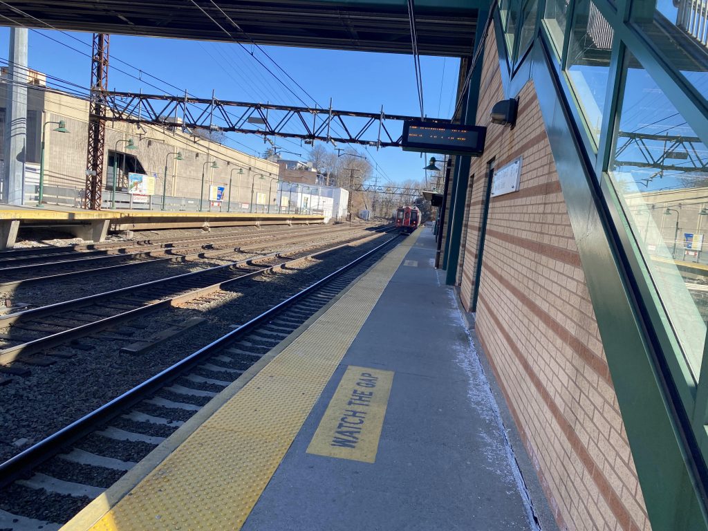
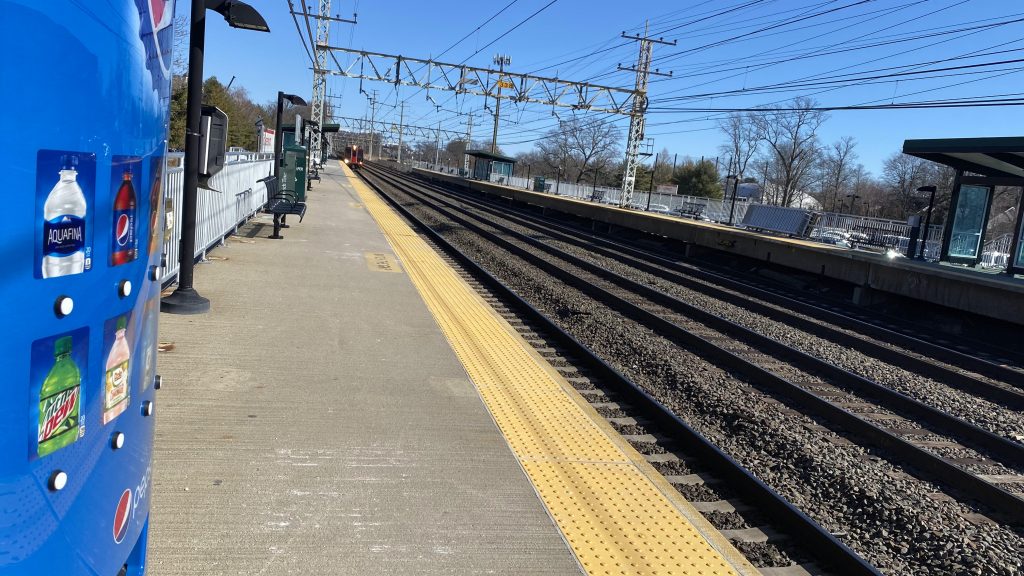
Crossing to the other side, there’s a waiting room, fare vending machines (which, iirc, exist on BOTH sides! Woah!), along with shelters (also on the other side). Now, what’s in the waiting room? Well, there’s benches, a shuttered ticket office, and BATHROOMS ON THE LOWER LEVEL?! WOAH! Okay, save for the shuttered ticket office that closed in 2016 (and apparently the ticket guy was well-beloved locally), this is pretty much perfect. And, outside on Railroad Avenue, connections can be made to both CTtransit’s 311 and Norwalk WHEELS’ Greenwich Commuter Loop shuttle. It was here that I decided to get lunch at Planet Pizza. Would I recommend? Yes!
Outdated!No brochures sadlyLunch!Greenwich Station!Amtrak!Metro-North!Express trainMore Amtrak!Pedestrian access from the overpass!No bold, but still italics!
The good: It’s got an indoor waiting area that’s open during service hours! YAY! And it’s accessible!!! Furthermore, it’s right in downtown Greenwich, with nearby Greenwich Ave. being the main hub of the city. WOOHOO! Also, there’s a commuter loop and CTtransit! Departure boards, too!
The bad: The ticket office is closed! And, it’s been that way for 6 years! And to be honest, it makes the station feel a little devoid of life. Heck, per the article I linked above, from what I can tell even the locals liked the ticketing agent. I get it’d cost money, and probably more money than what Metro-North or ConnDOT are willing to spend, but it’d be nice for a station agent to be present and to have the station buildings be open. Even if it’s not for ticket sales, just to have someone there to assist passengers in general.
Nearby points of interest: Greenwich Avenue is a big one. Apparently there’s an Apple Store out here! There’s also a park nearby as well.
Overall, I really like this station. Objectively, it’s up there for being among the best Metro-North stations. And, while I’m not a big fan of the moves ConnDOT did to nerf the station, nor am I big on the architecture, it’s largely not a bad station. As such, I think it’s worthy of a high score, albeit not a 10. Oh yeah, bathrooms.
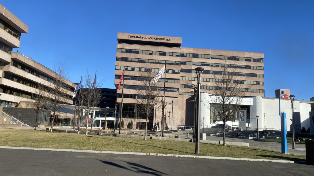
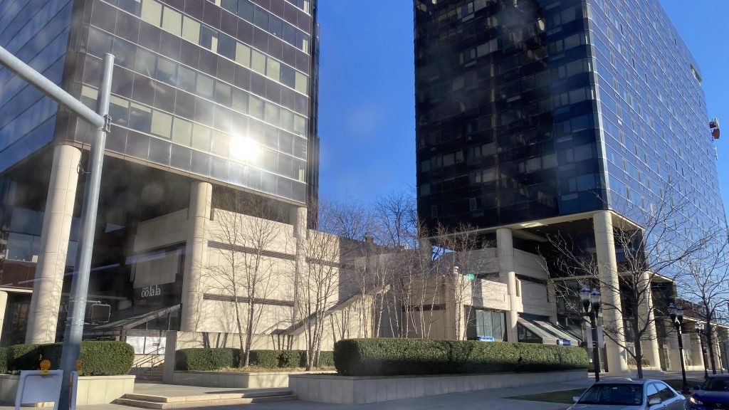
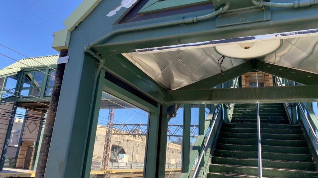
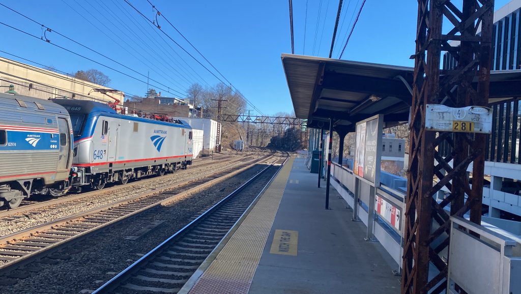
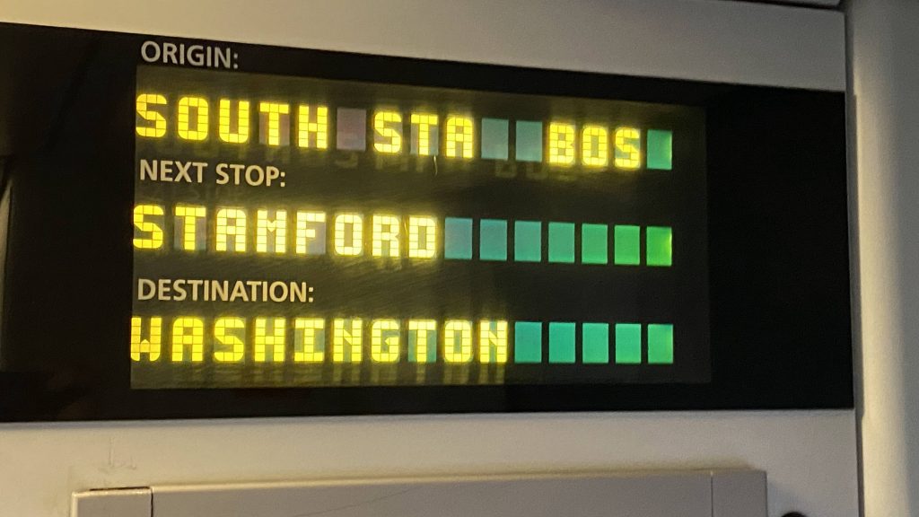
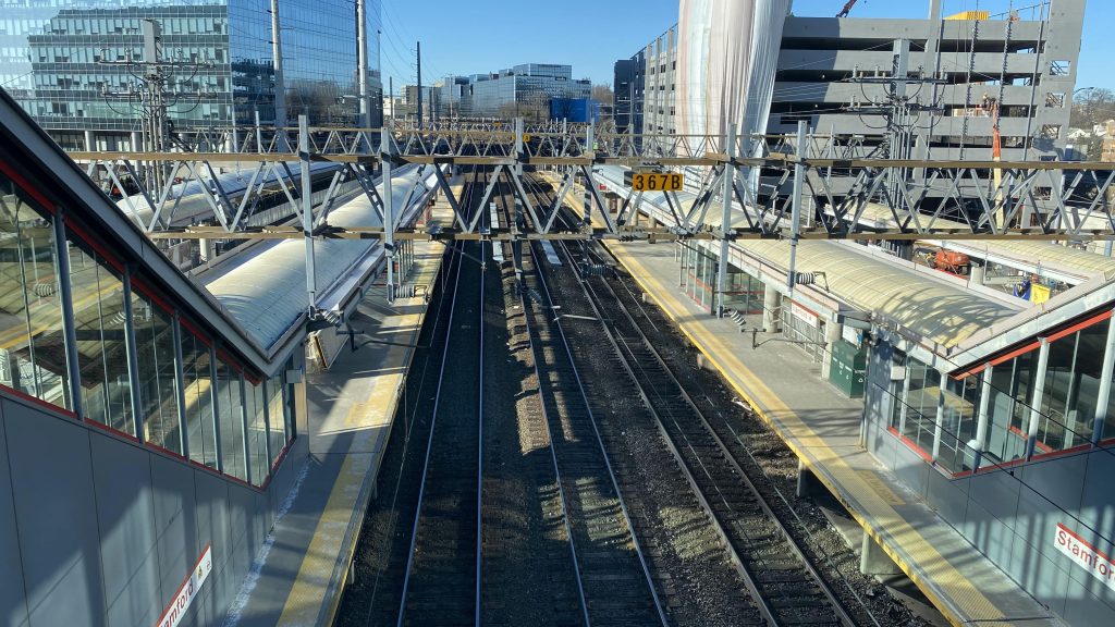
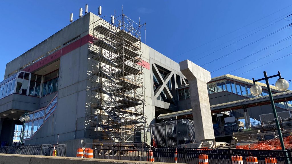
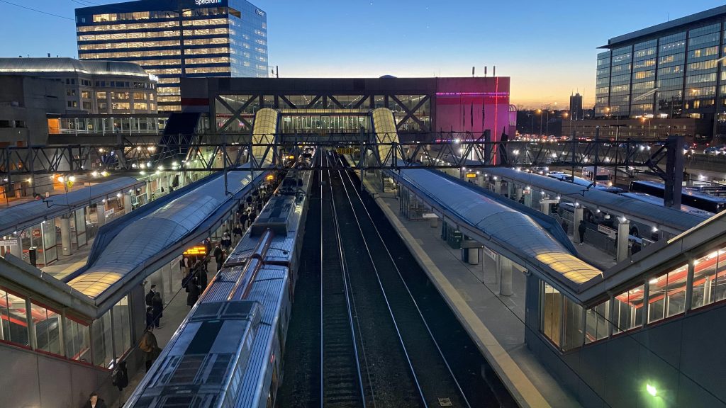
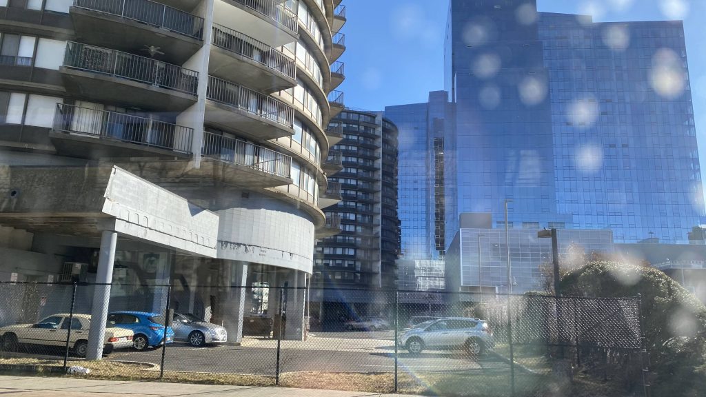
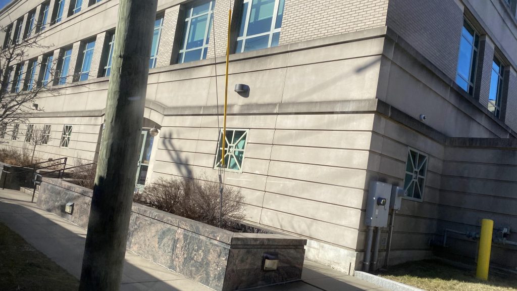
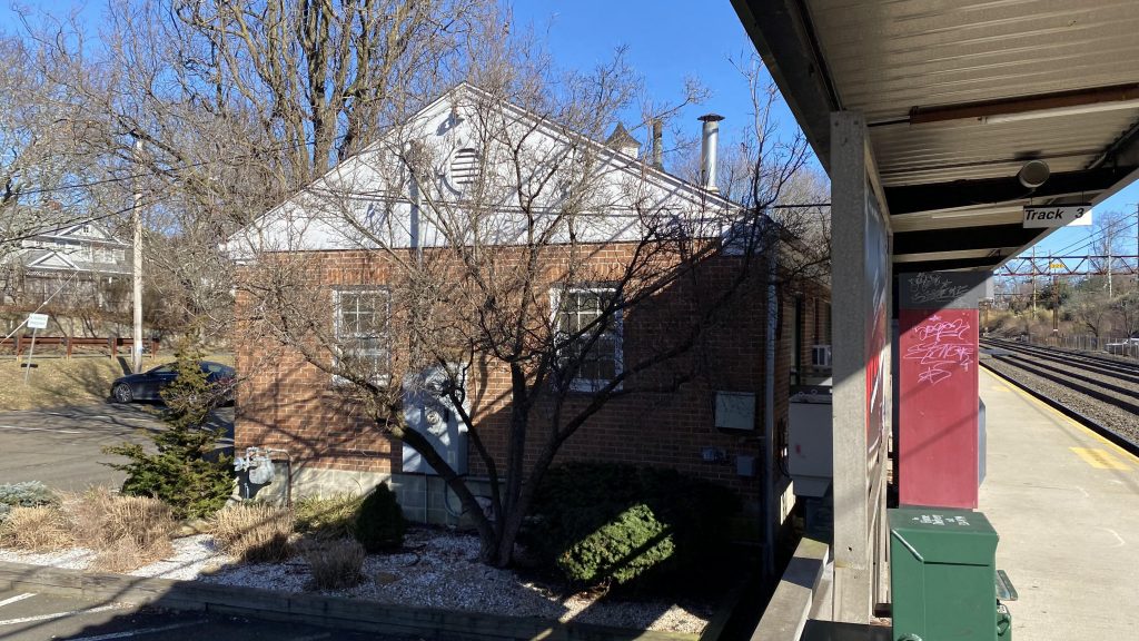
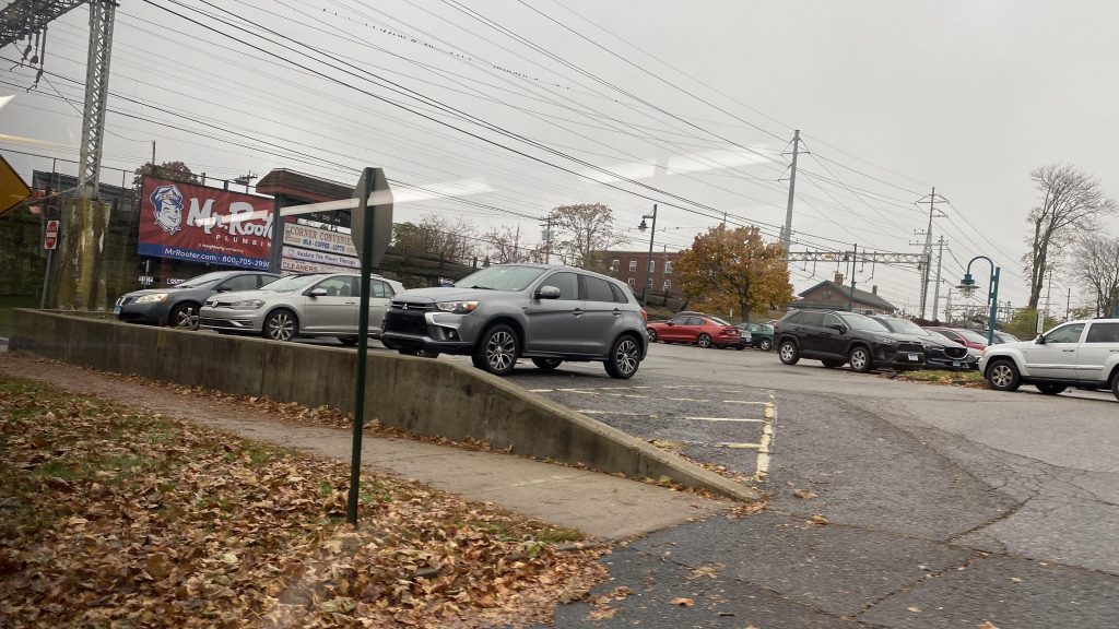
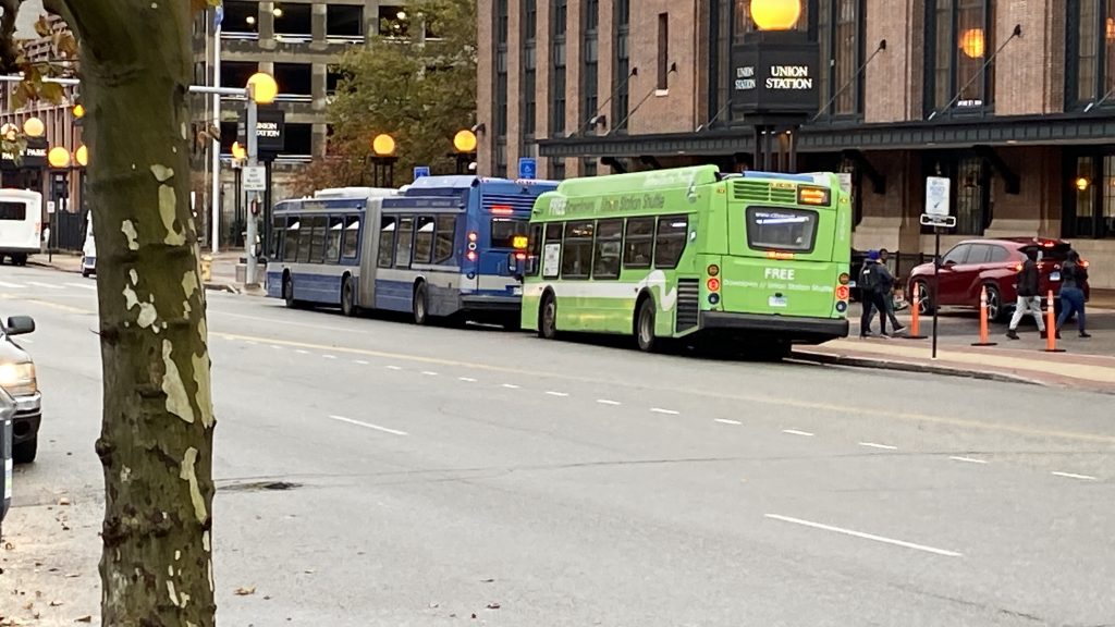
“You are NOT the father!”, Maury would say. Oh, this is a STATION entry, not Maury. Right. Well, welcome to the Stewart B. McKinney Stamford Gateway Intermodal Transportation Center. Or, the Stamford Transportation Center. Let’s see what the….
*checks notes*
SECOND MOST-USED METRO-NORTH STATION?! Yeah. Let’s see what this sucker has to offer. This is gonna be a big one. So, buckle down, and let’s get this show on the road!
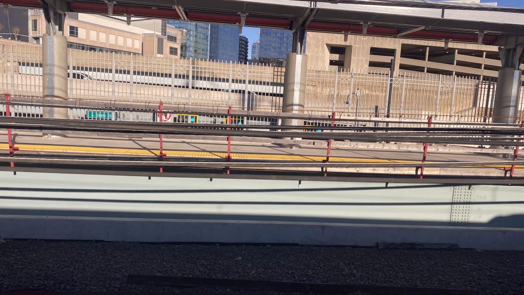
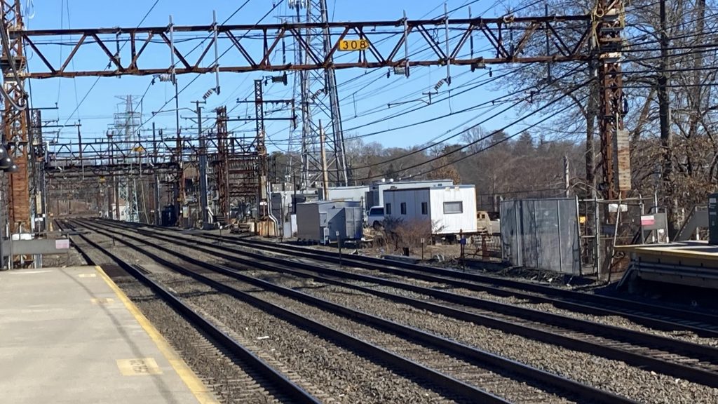
New platform under construction!
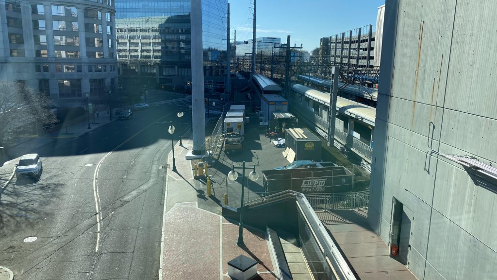
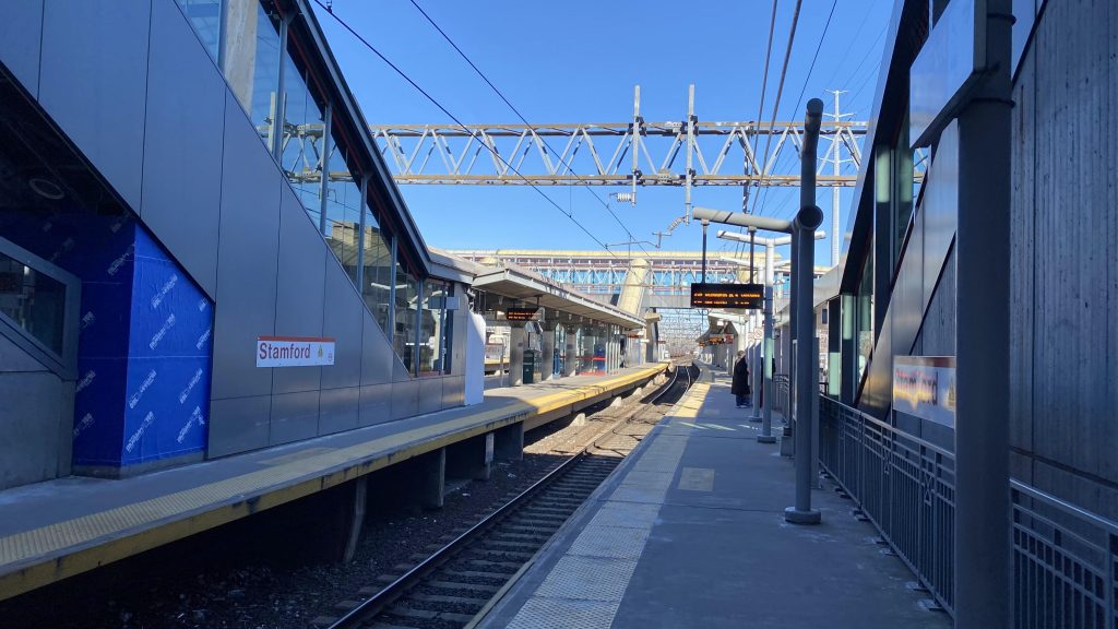
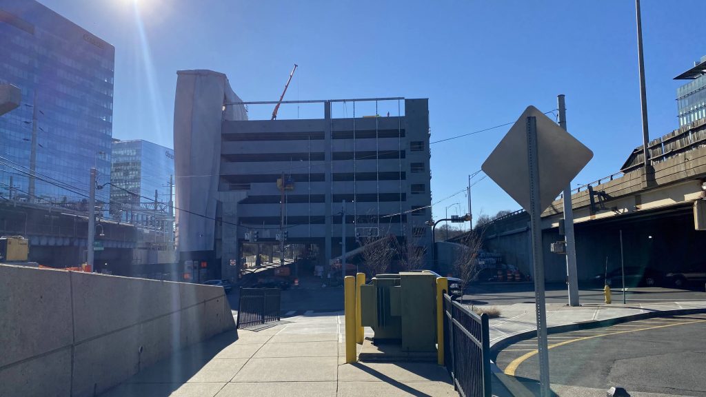
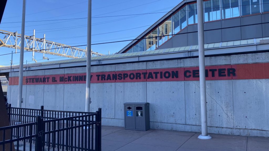
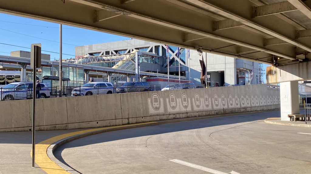
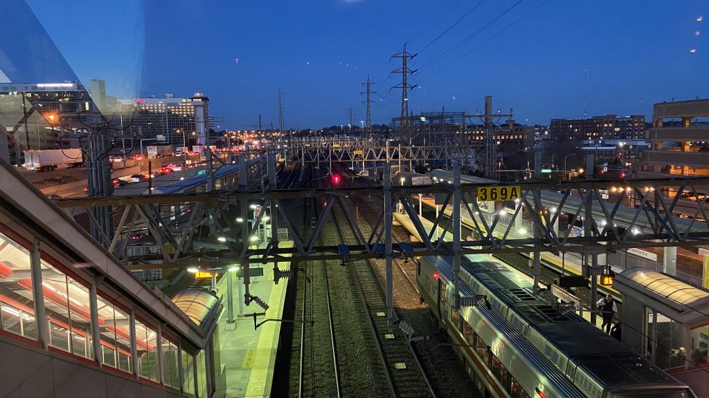
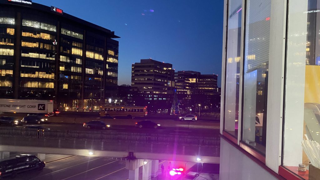
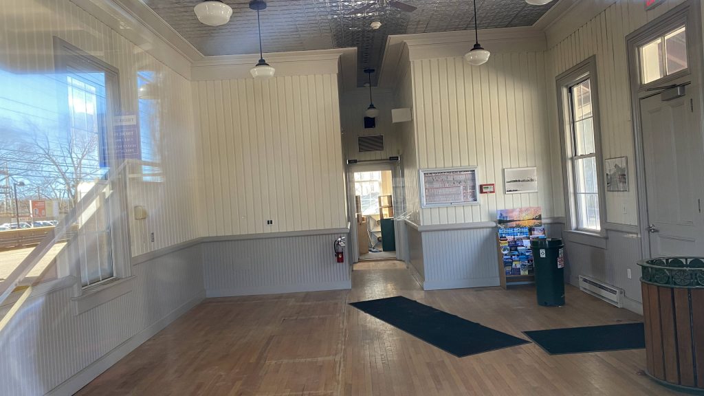
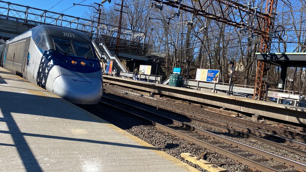
So, pulling into Stamford on the Acela, first thing I notice is the style of architecture and the new platform (from what I understand is to be for New Canaan dinks so they don’t occupy a through track). And, I’ll have to admit, I dig this kind of architecture. Platforms are concrete, modern, and have adequate lighting and shelters. However, there were no benches. This wasn’t a big deal, as there was a waiting room above the tracks. I’ll add, this was also pretty cool, and I dig the cross-braces in the windows. Speaking of the concourse, there’s Amtrak and Metro-North information desks, a convenience store, and yes, a Dunkin. Meanwhile, the northern exit will bring you out to the street with another convenience store, and the southern one to a parking garage. On the outside is another garage under construction, and a sign reading “Stewart B. McKinney Transportation Center”. Who was he? It turns out, he was a Republican representative from the ’80s, who died of AIDS and was bisexual. Yeah, bisexual Republicans. Don’t see that one every day.
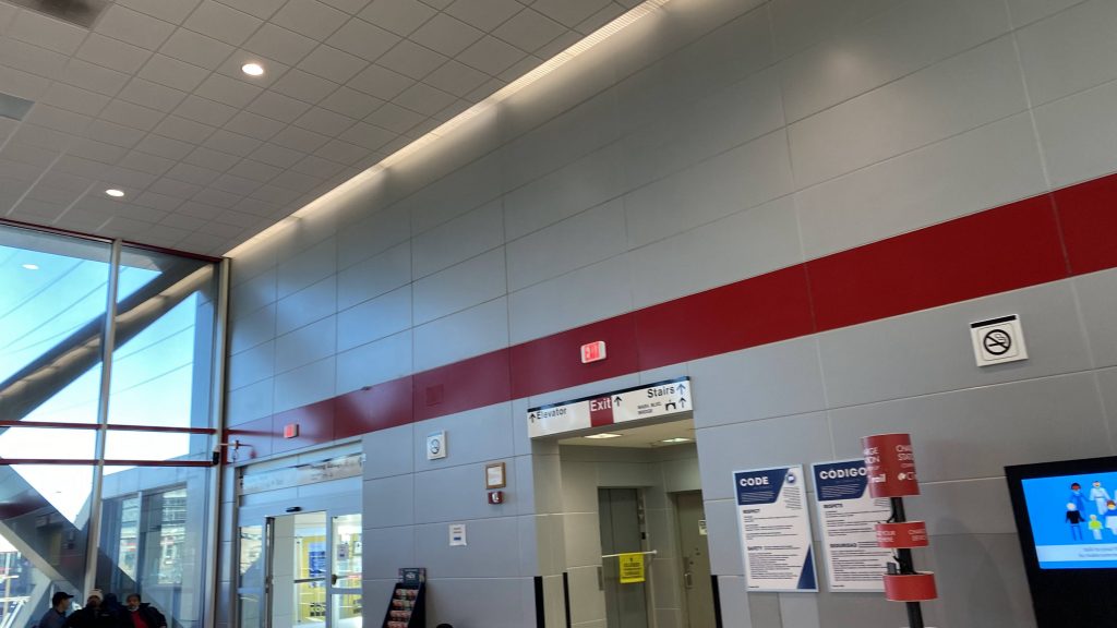
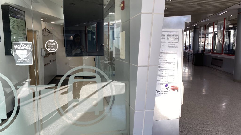
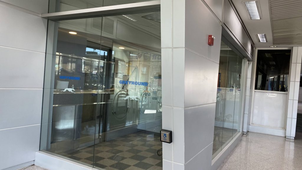
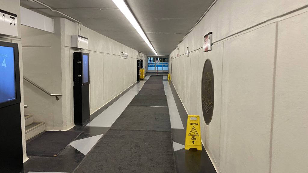
Once on street level, you can go down further into an underground passageway, and you’ll find MTA police, a CTtransit vending machine (turned off, free fares!), a shuttered Subway, and a Greyhound office. Don’t tell Miles!
Down we go!CTtransit!Shh, don’t tell Miles!no sbubbyPlatform access from below!
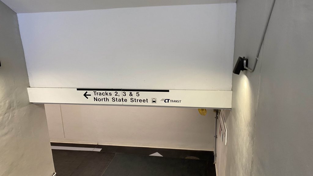
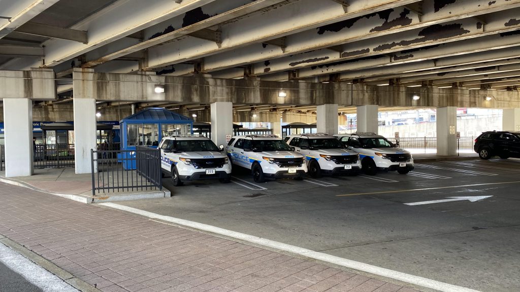
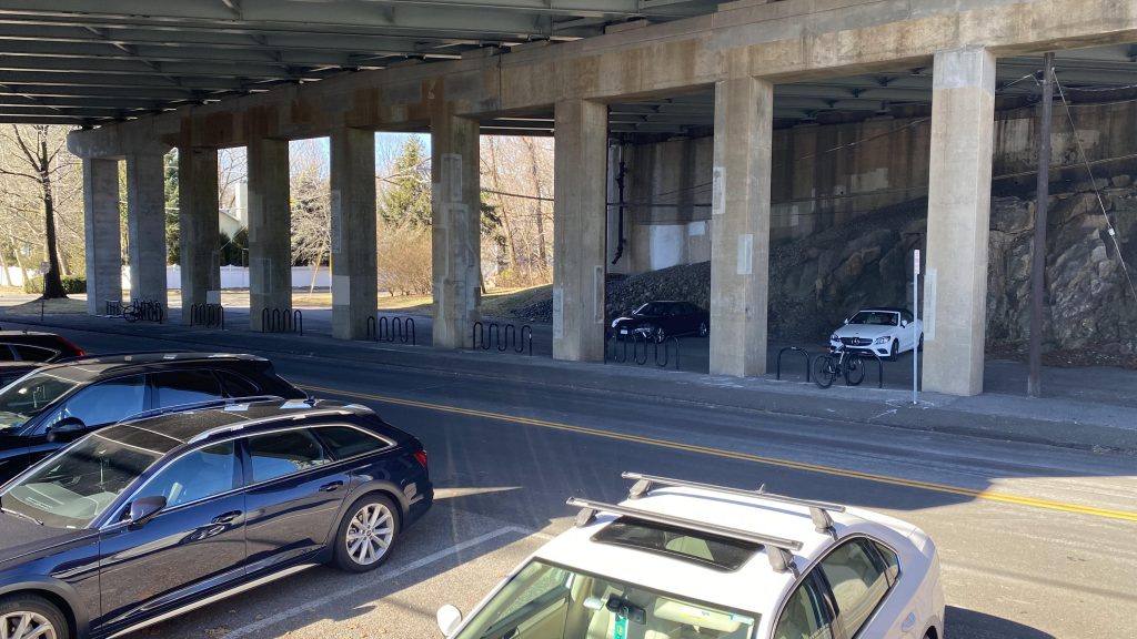
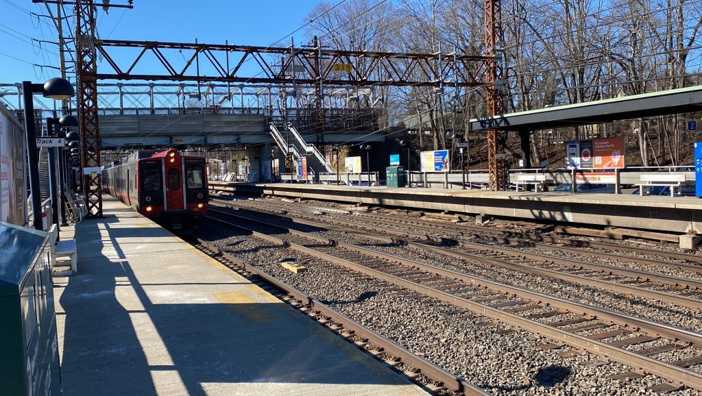
Now lastly, there’s the bus terminal. This has got to be among the sorriest-looking bus terminals I’ve seen. It’s like Cos Cob in that it’s under I-95, but it’s worsened by the fact it’s in the middle of a city. Yeah…… But, the berths are labelled clearly! So, props to CTtransit on that. You can also walk to track 4 on foot without entering the station’s concourses too, neat! As a downside, the elevator down here smells like urine. At least, the one I took did.
MTA police!The station building looms
The good: It’s a beautiful piece of architecture! It really is, I legitimately dig the style of the station in general. It’s also got pretty much everything a passenger might need or want. Furthermore, you’ve got multiple ways to access the platforms, all the Stamford-area bus routes, and a crazy amount of Metro-North trains! Plus, it’s in the heart of the city as well.
The bad: …I genuinely cannot think of much. I was annoyed by the fact there was construction, but whatever.
Nearby points of interest: The city of Stamford and the bus routes, and the New Canaan line can take you to its namesake town! You’ve also got various local-owned shops, restaurants, breweries, etc., and a mall nearby. AND THERE’S A DINER?! HOLY FUCKING SHIT!
Overall, it’s a great station. Easily among the best I’ve seen even. It’s in a decent location, has good service for both Metro-North and CTtransit, and every Amtrak train stops here as well. As such, I think it’s worthy of a special score I reserve for a handful of stations.
Rating: 10/10
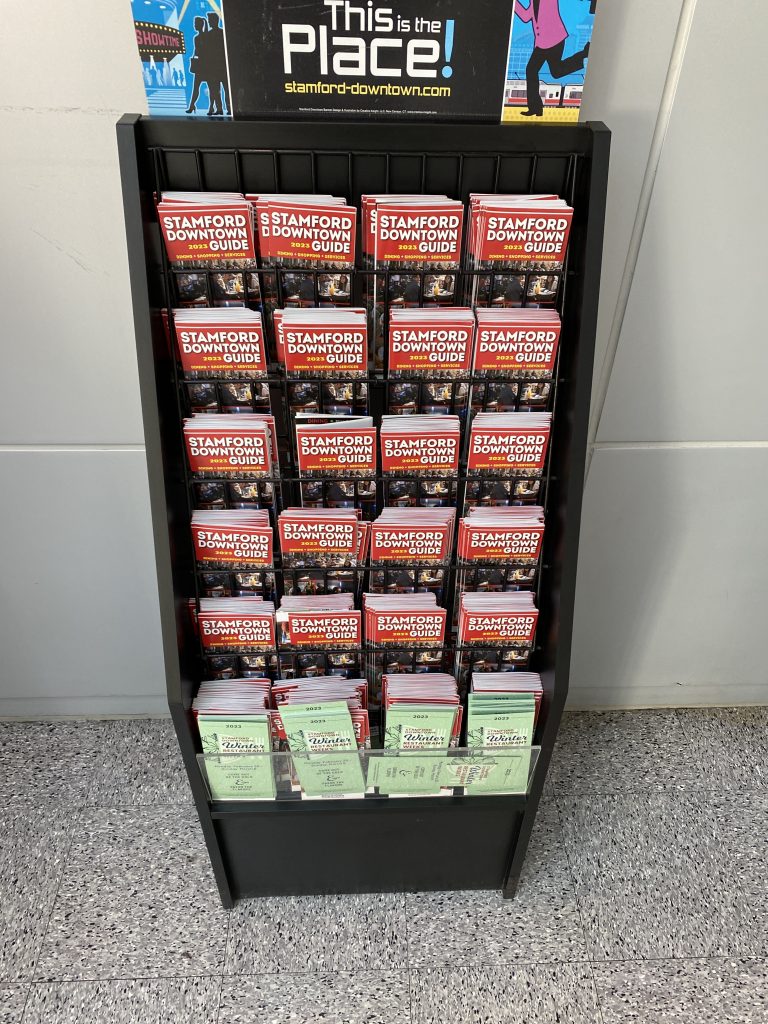
These brochures actually proved HELPFUL for research for once!haha traffic
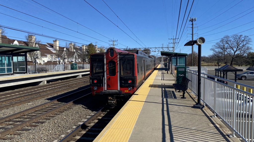
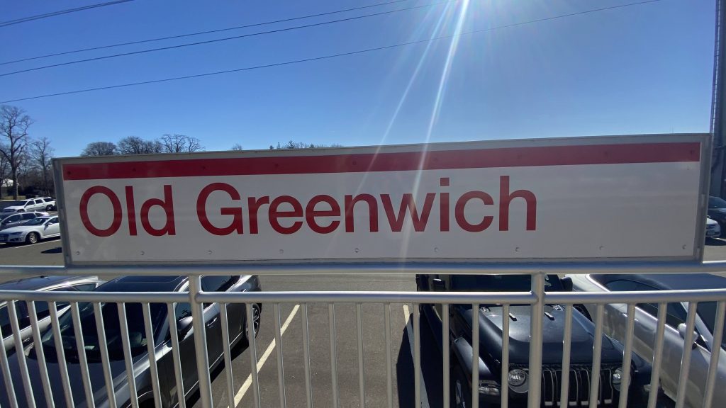
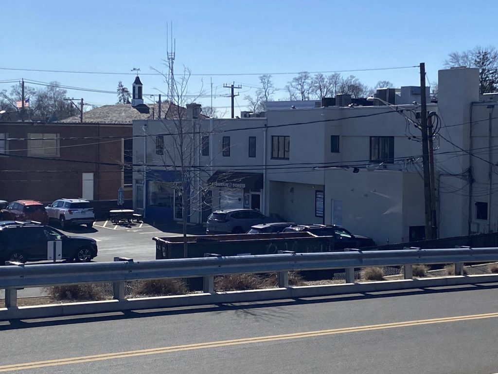
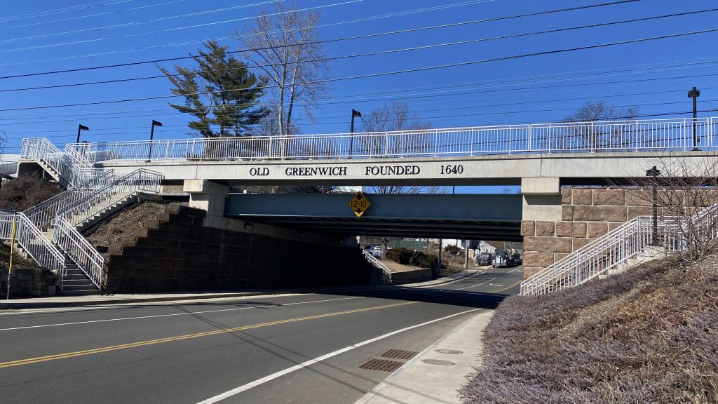
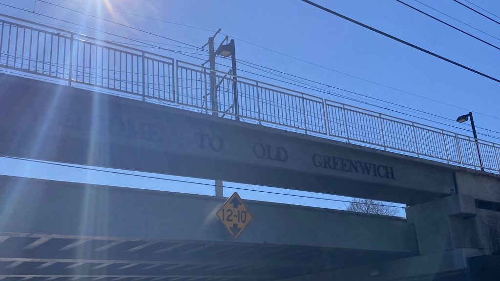
Another station in Greenwich, oh my! Well, it’s not that bad. Besides, I-95 isn’t close by for once and it’s in a sleepy neighborhood that, *gasps* has things to do!!! Woah!
Adios!
So, getting off the platform, it’s the same story as Riverside and Cos Cob. Honestly, it’s kinda exhausting at this point since I may as well copy-paste. But, ’cause I love y’all, I’ll beat the dead horse.
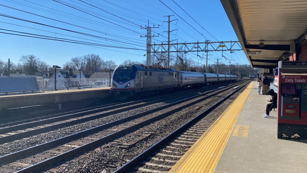
Looking towards Grand CentralParking!Sign!
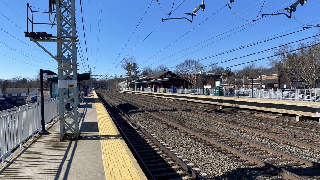
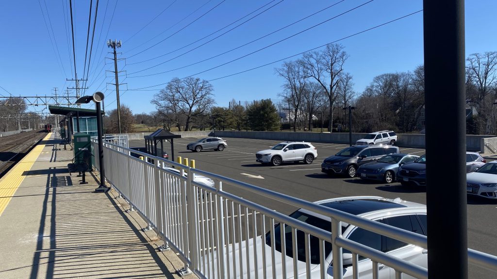
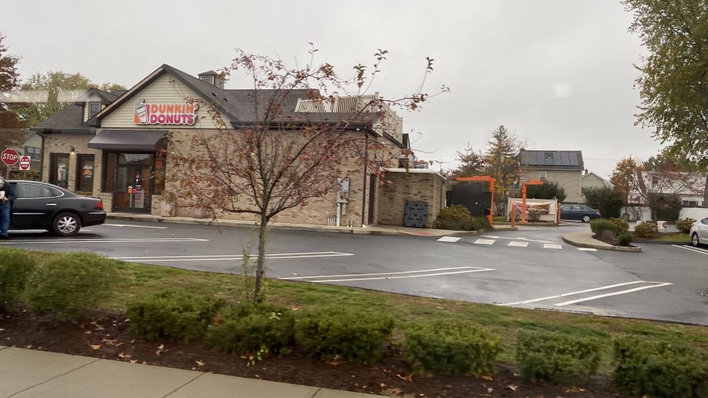
You got benches, wastebaskets, shelters, and vending machines. Parking is on either side, permit only (as is also the case with Riverside & Cos Cob), and sorry, the station building is closed. Man, they should really have the station building open outside the morning rush, maybe with a small convenience store for the local neighborhood as well as restrooms. After all, headways can get a bit wonky, especially at rush hour. Anyways, the area around the station itself is a small village with shopping and restaurants. Nothing stood out to me, and no I’m not counting Dunkin’ here, because of course there’s gonna be a Dunkin’ in every small CDP in New England. CTtransit also stops here, peak hours only.
Look, a Dunkin’!This looks kinda fancy!And the other side!Amtrak!Metro-North!And my train to Cos Cob!
The good: It’s in a suburban area, and unlike the other two suburban park & rides in Greenwich, it’s actually got things around it one can do! It also has a CTtransit connection, peak hours only though.
The bad: It’s still suffering many of the problems Cos Cob and Riverside suffered. Those problems being no departure board and a lack of ADA compliance. Also, I’ll have to nitpick that the CTtransit connection is peak-only, and the station building is only open during the morning rush. There’s also no bike racks.
Nearby points of interest: Old Greenwich seems like a nice little village! There’s also a park on the other side of the tracks, and a golf club nearby.
Transit connections: Metro-North (New Haven) CTtransit (324, limited service)
Overall, I think outside of Greenwich, this station’s probably the best one of the bunch. It’s got stuff to do, has a decent amount of parking, and it also has bus connections (albeit limited). So, I think this one deserves a decent score.
Alrighty, so the first of two CTtransit entries! Let’s check out the only regular bus service Greenwich has throughout the day. And…..
*looks at route map*
Oh no. No, not New York…..
It’s a bus, but not mine!
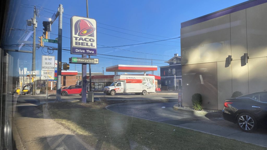
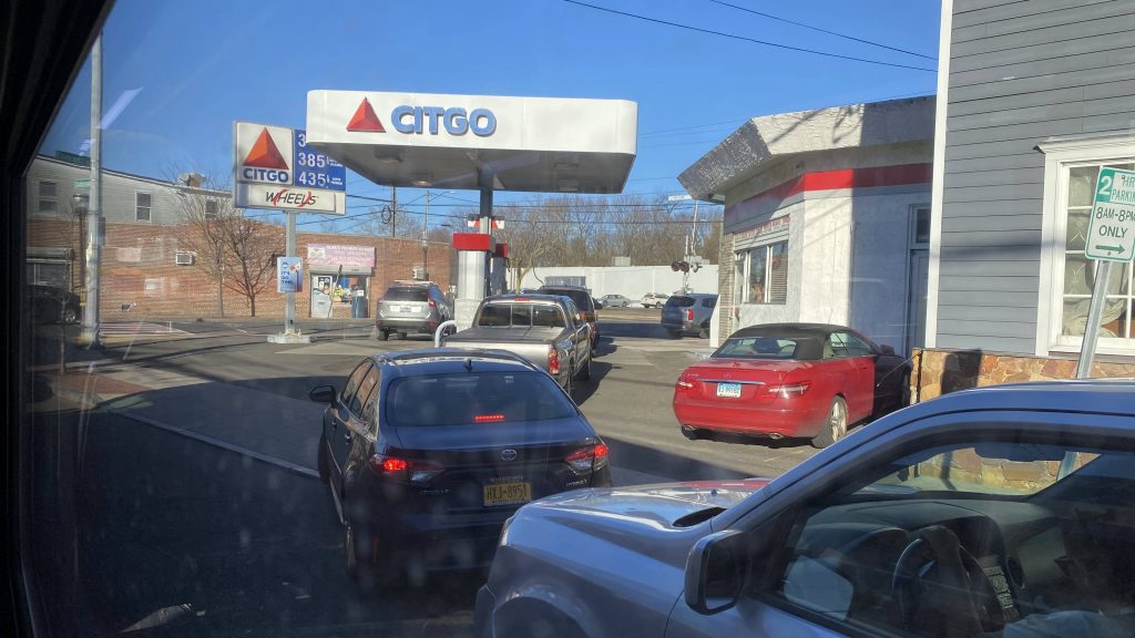
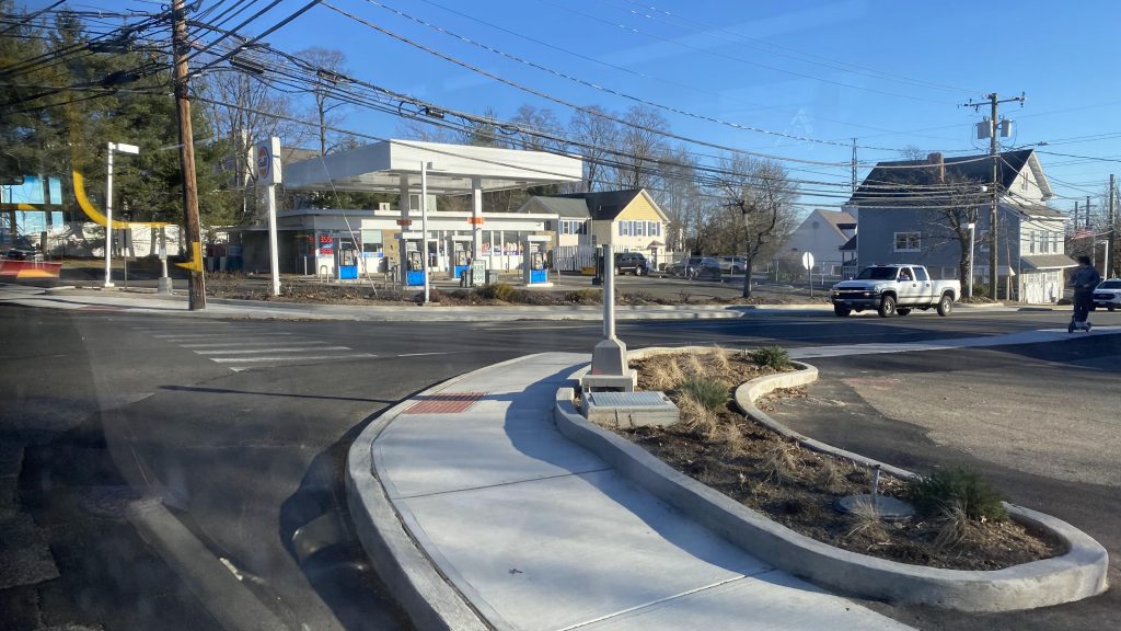
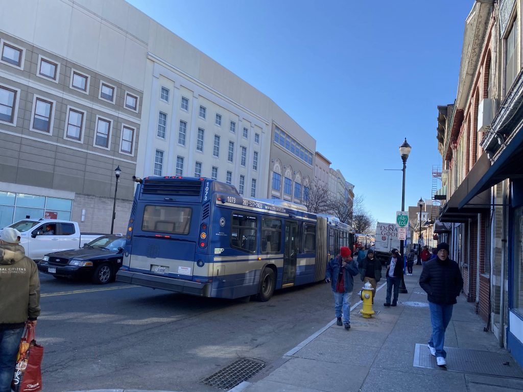
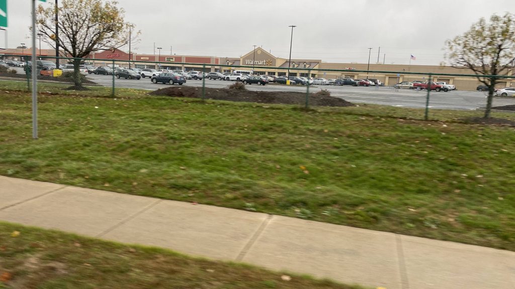
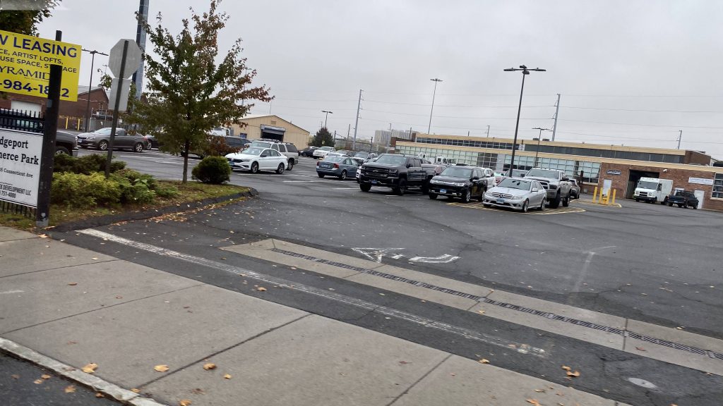
So, at the McKinney TC (Stamford MNRR), we board a bendy bus under I-95 and the bus is already pretty full. Damn, good thing we have a bendy bus to work with! So, off to the races we are, and down Route 1 we go! So, of course, it gets very suburban really fast. However, hints of urbanization and density still exists, as there’s a mix of apartment complexes and single family housing in sight. We even pass a ShopRite and a Stop & Shop, and quickly enough we’re in Greenwich. Yay!
Downtown Stamford!Dirty window!Finger lickin’ good! …if you want bowel issues, that is.Apartment complexes!More buildings!I don’t know why the bus stop there, but whatever.Apparently there’s an ACME in this plaza. Don’t tell Wile E. Coyote!
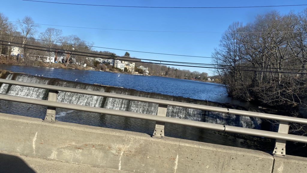
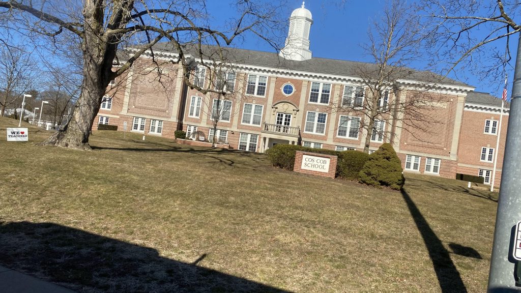
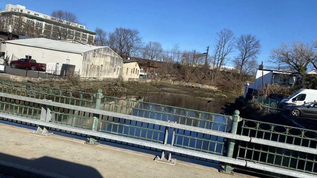
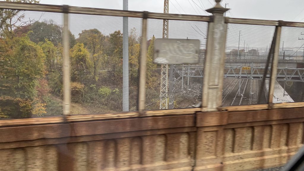
So, as we progressed down US-1, we pass several office buildings and whatnot. There’s also several churches, a school, Interstate 95, and the Mianus River to be seen here. It’s all pretty much suburban, and after we passed the high school, it started to look a little more walkable. However, it was still car-centric as parking existed on both sides of the street. Boo….. But, we deviated! Wooo! Deviation to Greenwich’s Metro-North station! Yay! And, it was here where the 311 splits into two. One variant goes up Field Point Road and follows US-1. However, I was on a B variant route, which continues down Hamilton Avenue. It pretty much felt like a residential side-street, if anything, and it felt weird snaking under the Northeast Corridor in a 60 foot bendy bus, to be quite honest. From here, we’d be crossing under I-95 and closing in on the New York border in an increasingly urban area.
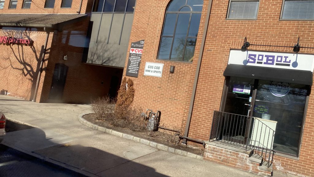
Wooo, offices!The mighty Mianus RiverLow-ish density!Cos Cob School!CVS!Seems like a small New England town.I don’t remember what this was.Woooo, deviation!Residential neighborhood!Woo, more offices!Rich NIMBYs, probablyThe Northeast Corridor!The last bit of Connecticut!
And then I fizzled out of existence entirely upon entering New York!!! The end!
…nah, I’m just messing with you (the reader). What happened was we entered Port Chester, passed what can be described as an old industrial area (I think?), and we made it to the general area of the train station. Yay!
The Byram River, forming the state line!Yeah, this is New York.I spy the Northeast Corridor!See ya!
The good: Well, it definitely serves a lot! It goes into freakin’ New York, for crying out loud! It’s also the only regular bus service through Greenwich, not counting the I-BUS or the Norwalk WHEELS-operated commuter shuttle. This probably plays into why it’s got high ridership and why it uses a 60ft bendy bus.
The bad: Two branches? Really? And with that it also means headways are WORSE on the branches, with upwards of bi-hourly on weekends! Darn it, CTtransit!
Nearby points of interest: Well, you got a shopping center in Port Chester, and a few parks in Greenwich (not counting office parks!). Also, the shopping on Railroad and near Greenwich Avenues.
Overall, it’s a decent route, it gets the job done, and serves a lot of people with where it serves. I’m also thankful I didn’t vaporize into thin air.
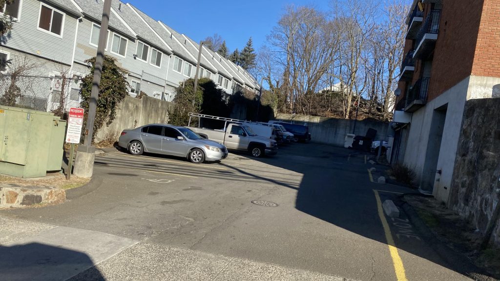
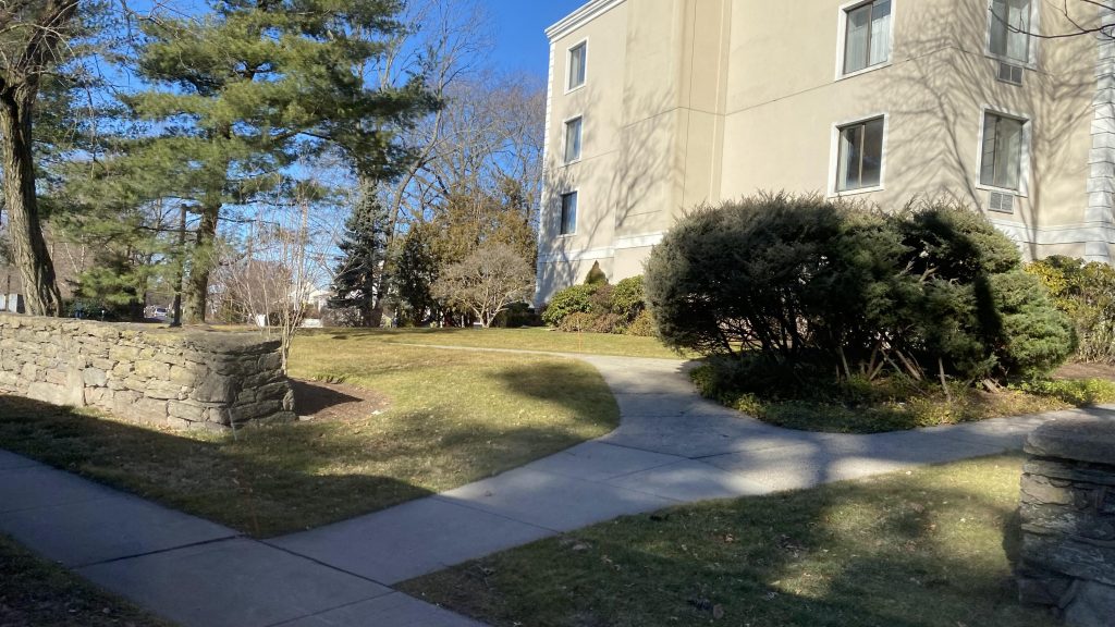
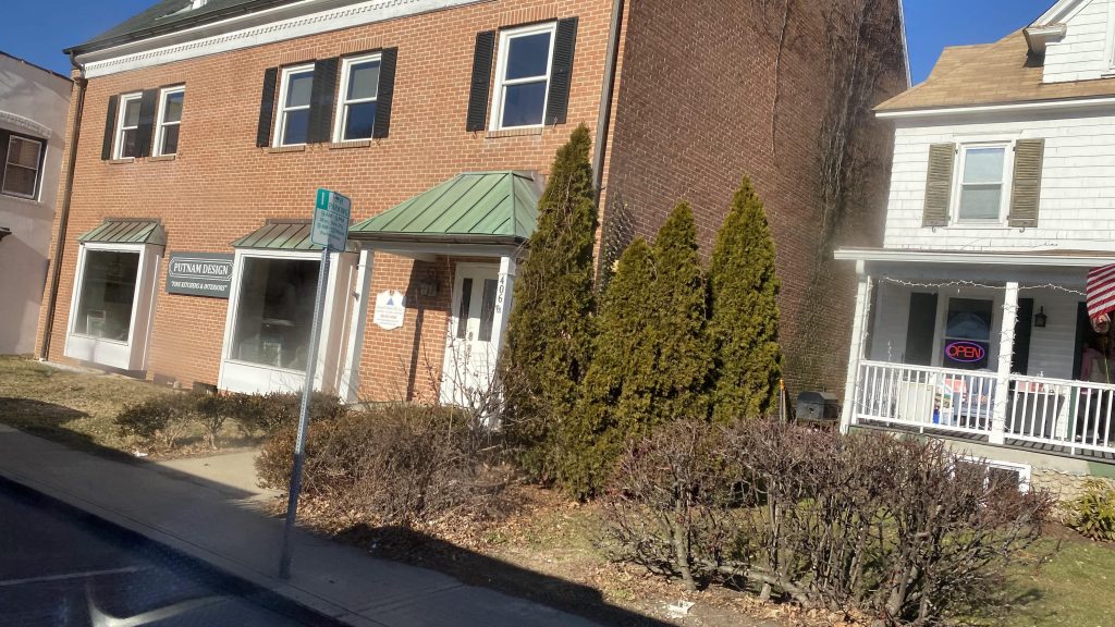
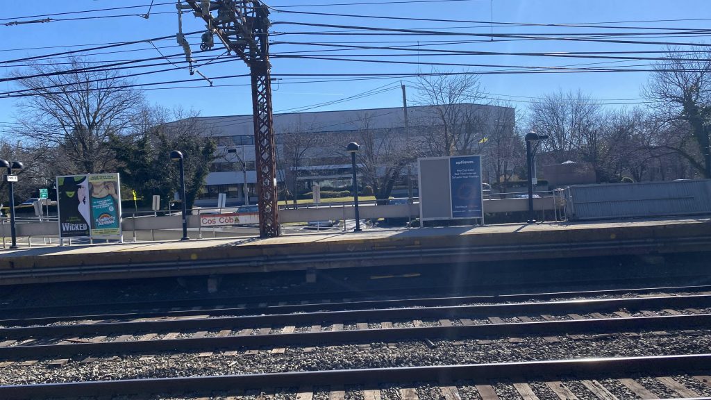
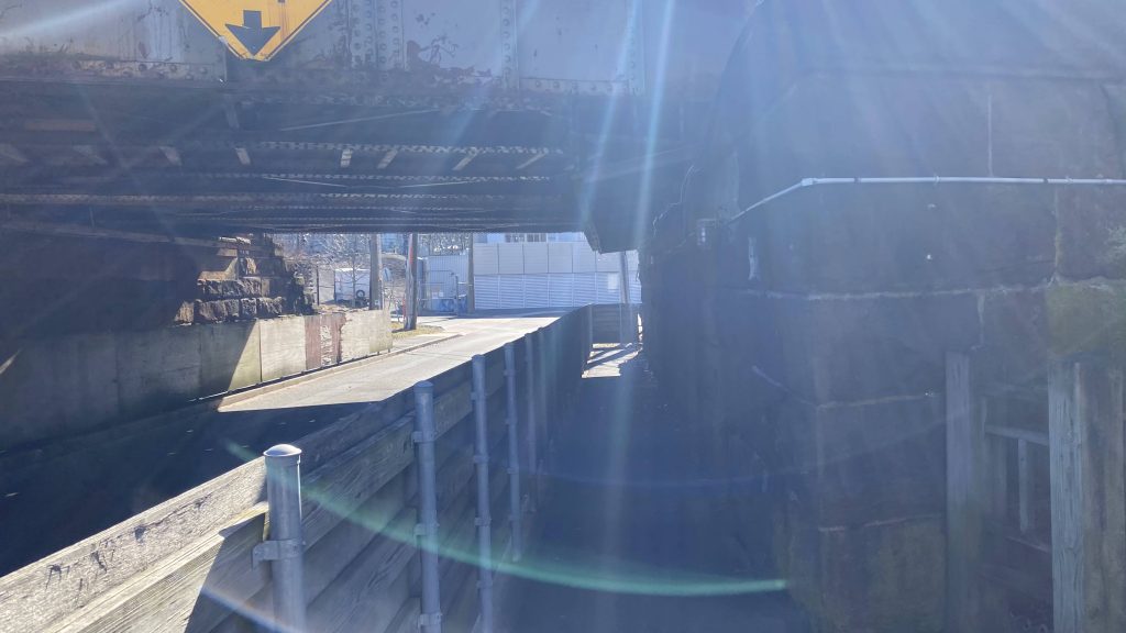
Next to arrive in the backlog from my journey on the 14th, is Cos Cob! What a weird place name. But, yeah, it’s still largely rich NIMBY hell. Let’s look at this station.
Bike parking?! I didn’t recall seeing this at Riverside (or, really, any of the other Greenwich stations)
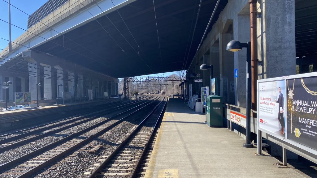
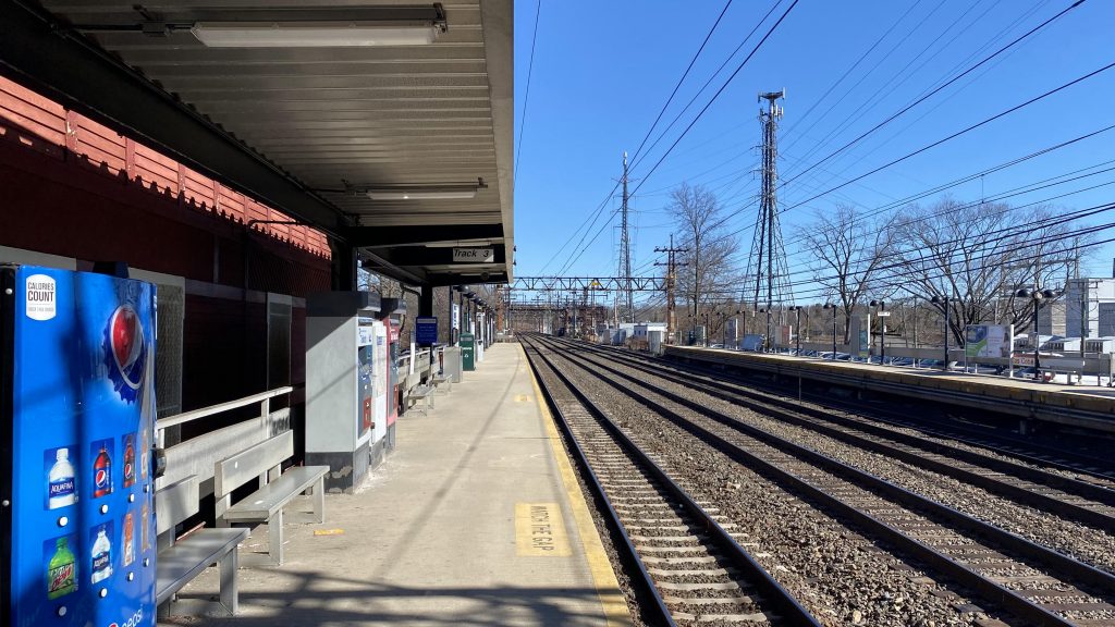
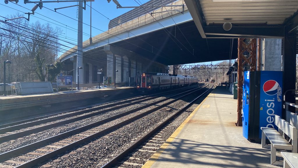
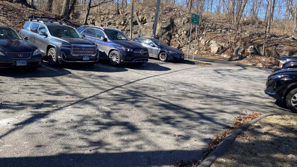
So first off, Interstate 95 runs directly above the train platforms, making it feel oddly dingy for a suburban park & ride. That’s a new one for me. There’s also bike parking here as well, which I don’t recall noticing at Riverside, Greenwich, or Old Greenwich. However, predictably, no bikes are parked here. There’s also a station house and the usual Metro-North amenities on the Grand Central side while the Stamford and New Haven side are lacking. And, just like Riverside, the crossover isn’t ADA accessible, but it’s a down & under, instead of up & over. But hey, at least it’s still segregated from Sound Shore Dr.! As for nearby things to do, there’s not much, just a park and a few offices and houses. Speaking of which…
Offices!Dingy!Looking the other way!M8 running express!Oh yeah, the vending machine gave me $1 coins when I bought my ticket to RiversideThe playground!THOSE. DAMN. BROCHURES!Parking!The crossover!
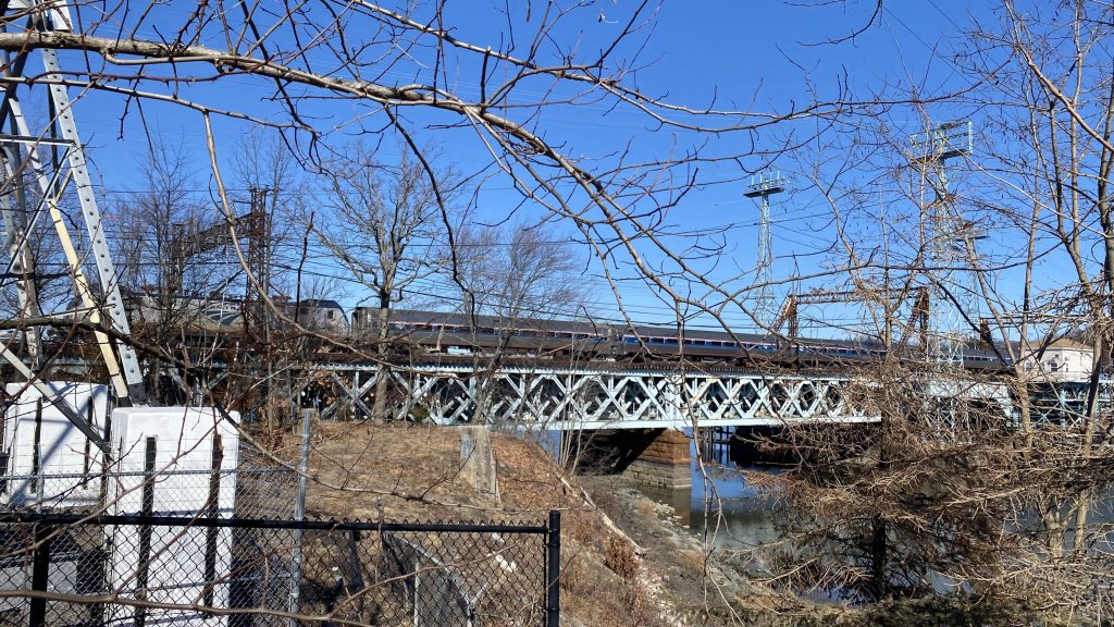
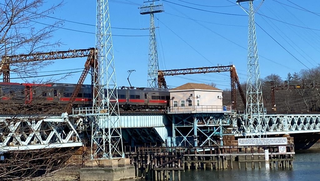
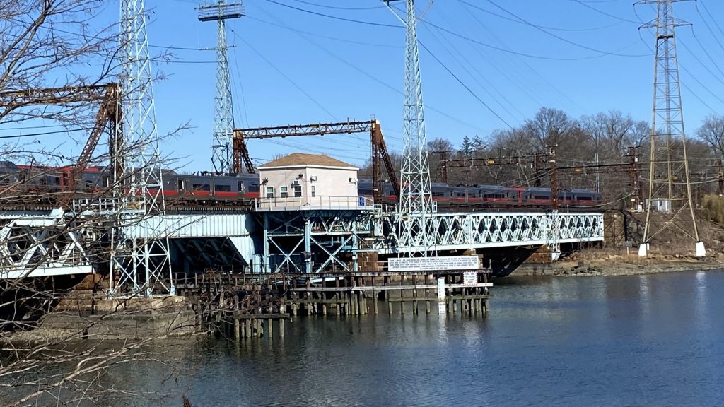
Now, if you promise not to tell on me, there’s a nice little railfanning spot where you can get a view of the trains and the Mianus River bridge. So, all you have to do is walk to the park and behind the soccer field. That’s it. Here’s some shots I got from there.
Look ma, no wires!
The good: Well, it’s another residential park & ride, but this time we also have some offices and a park mixed in! Woooo!!! It’s also kinda scenic!
The bad: It’s under I-95! Also, no departure boards either, like Riverside, and it’s not accessible!
Nearby points of interest: Cos Cob Park, if you want some cool foamer shots!
Transit connections: Metro-North (New Haven Line)
Overall, it’s a nice station, however I think it’s dragged down greatly by I-95 being above it. But hey, shelter if it rains! Sadly the actual station building is only open in the AM rush, so there’s that. I think the foamer spot nearby redeems the station a little, though.
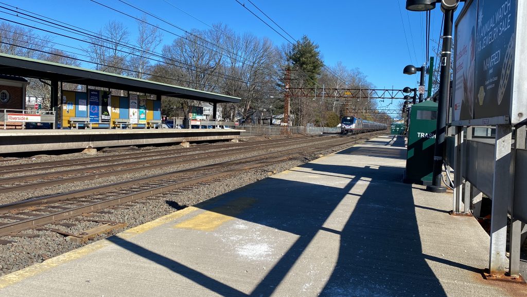
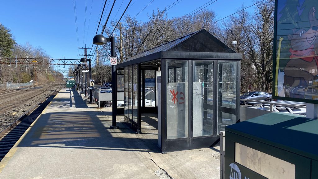
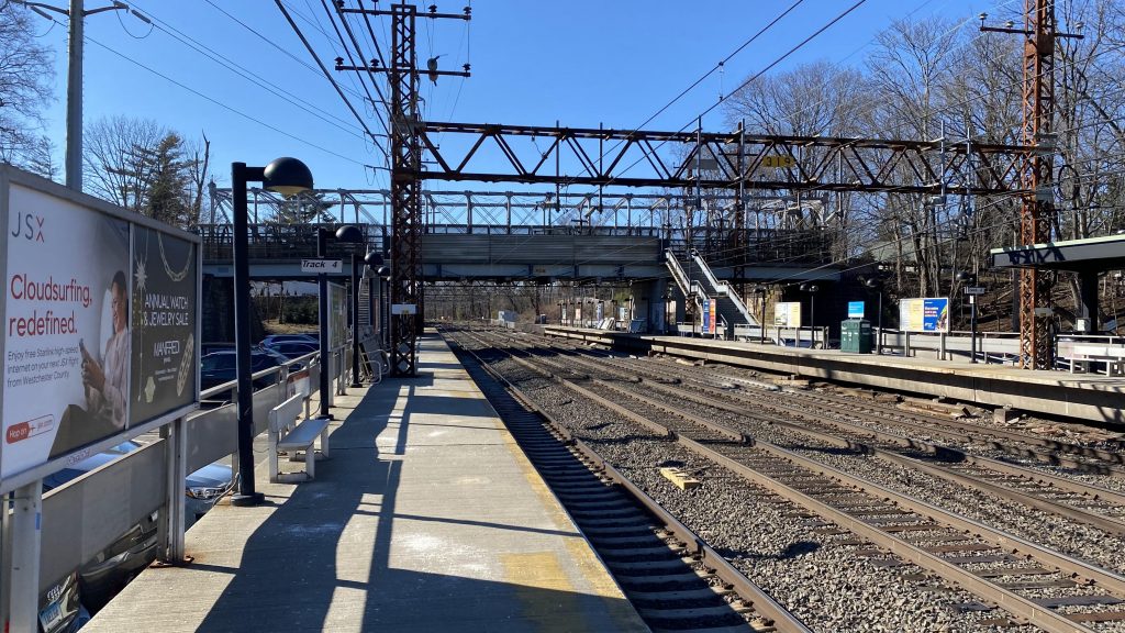
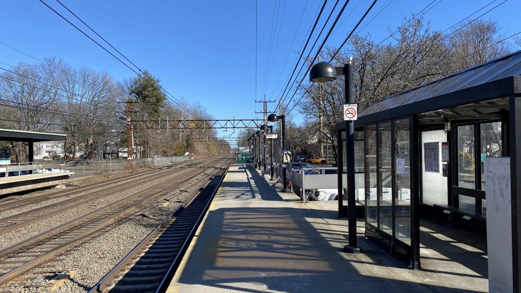
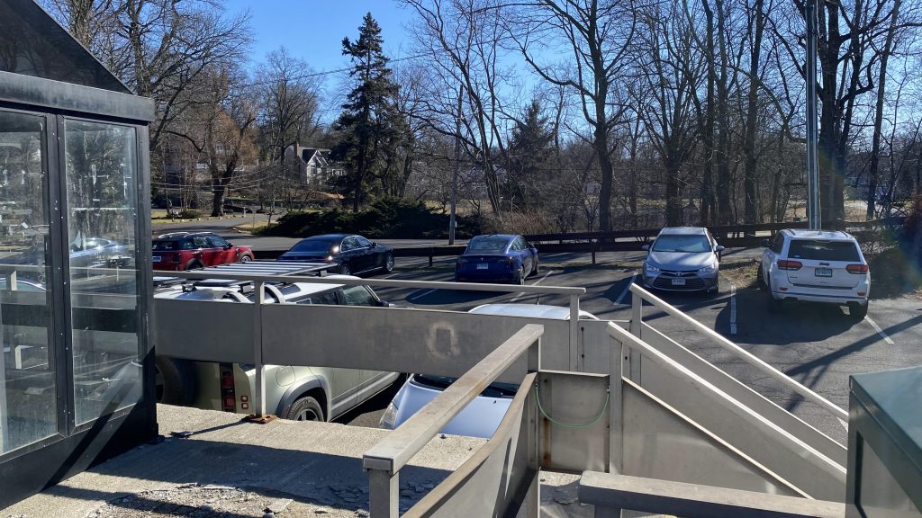
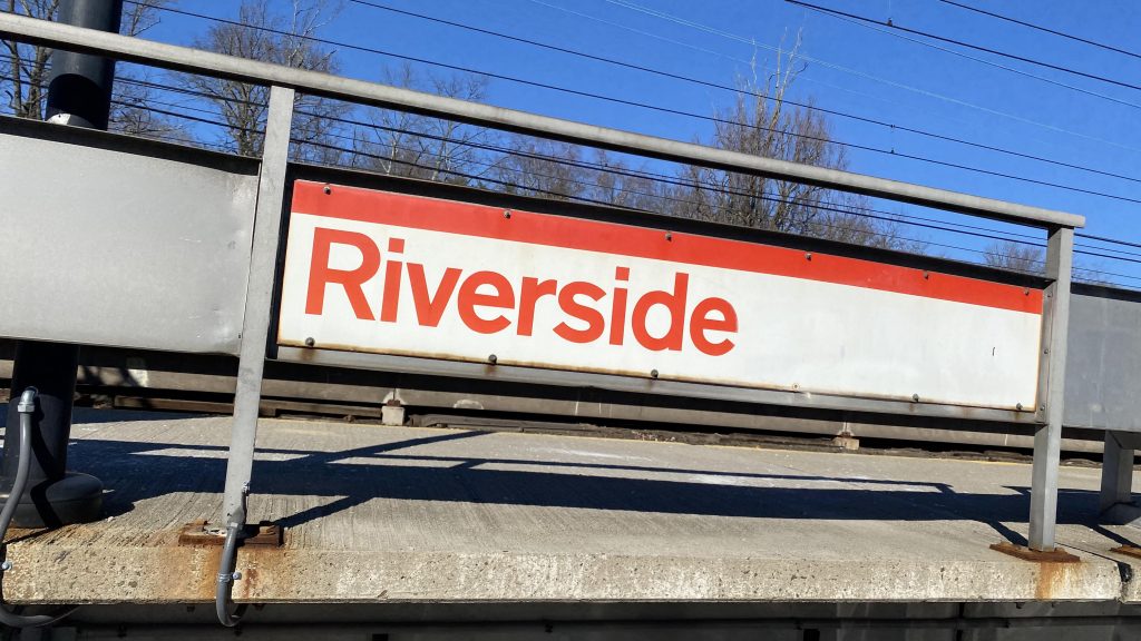
Riverside? Didn’t we do this already? Oh, it’s a Metro-North station, not the Green Line on the MBTA. Let’s look.
See ya!
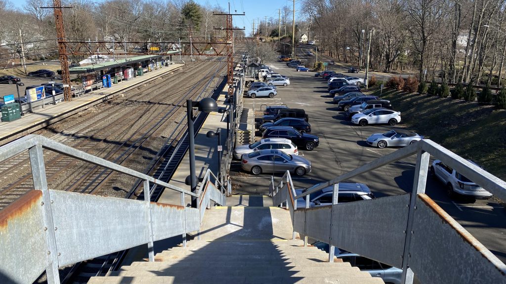
Getting off the train, it’s clear that this is a park & ride in the middle of what may as well be NIMBY hell. You got two parking lots, one on either side of the tracks. There’s also no ADA compliant crossover, so there’s that, and the platforms and stairs look like they’re falling apart. Uhhhhh…..
Oh yeah, the station building is only open in morning rush hours on weekdays. But hey, at least the crossover is segregated physically from Riverside Avenue! Vending machines for tickets can be found on the Grand Central-bound side as well. Yeah, not a lot to say about this one, aside from the fact it’s relatively niche in use cases. I guess this is pretty much why it’s among the least-used stations on the line.
A Regional! Or, the Vermonter? I don’t know.A shelter!Looking towards New York, with the decrepit-ish crossover.And towards New Haven & north!Parking!Signage!Looking down!At least it’s well-lit, I hope!The station building!Acela!Express!
The good: It’s in the middle of a residential neighborhood! So, there’s that at least! And, for being a primarily commuter station, it still sees decent service (about half-hourly on weekdays, I think? Please correct if I’m wrong!)
The bad: There’s no other transit connections. Also, there’s a lack of ADA-compliant crossovers, so screw you if you need that. No departure boards either. C’mon!
Nearby points of interest: Not a lot around here. Houses, I guess?
Transit connections: Metro-North (New Haven Line)
Overall, it’s an alright station. However, it still has some glaring flaws, namely stemming from the lack of any ADA accessibility for crossovers. The lack of departure boards is also very irritating, moreso if your phone is dead.
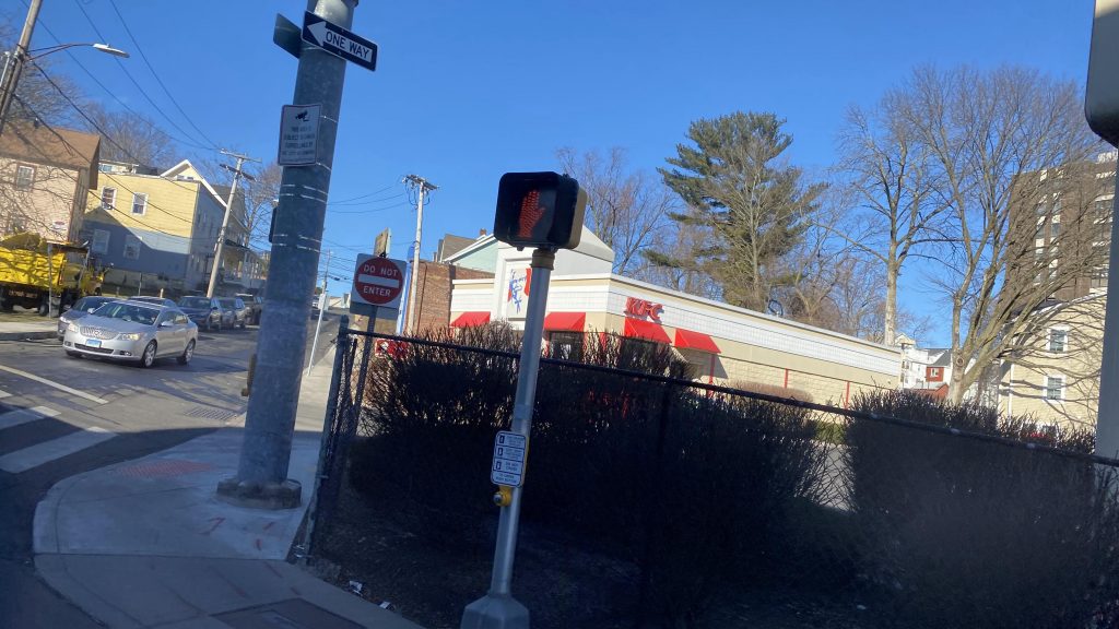
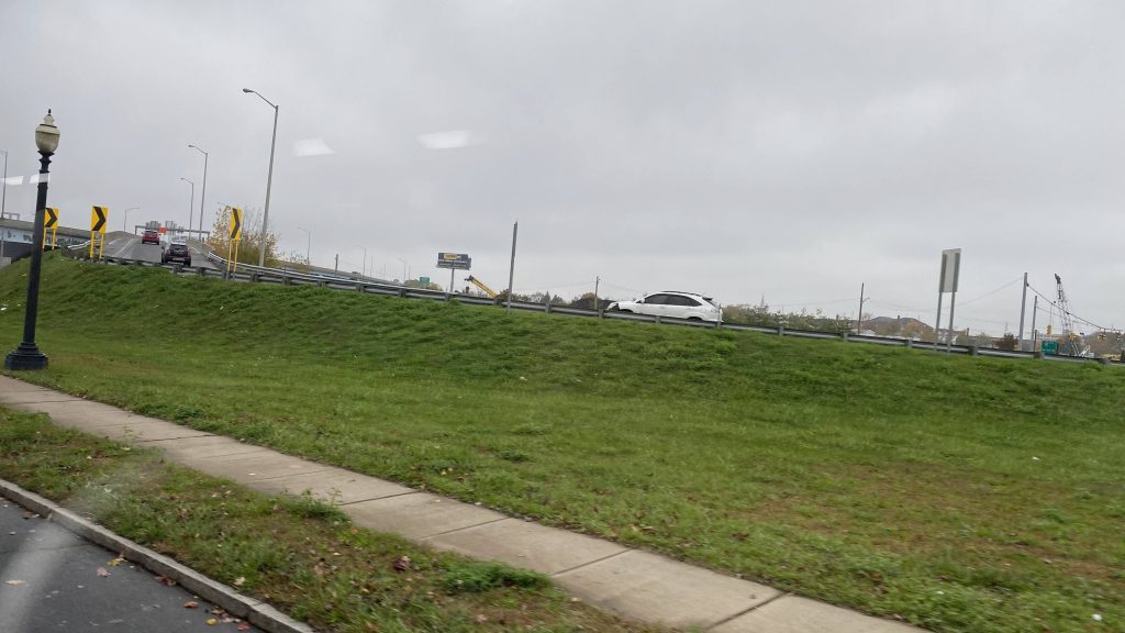
Oh boy, this one’s a doozy. So, who wants to ride a bus for 2 hours straight? Yeah, me neither. I’m not exactly an “extreme commuter” or anything like that. However, we do have a route that fits the “let’s ride a bus for 2 hours” bill. Meet: the Coastal Link.
Some backstory: So, I first found out about this route through a Miles in Transit video where he rode it the other way (Norwalk-Milford). At that point, I haven’t even considered making this blog yet, and when I did make it I wanted to do the Coastal Link, just for how long it is. Sounds fun, right? Then, I wrote my entry on the 261, and came to LOATHE stroads for the lack of anything interesting to say about them. That’s when I said “oh dear god no” when I saw that the Coastal Link was on my todo list. And, while it isn’t the longest bus I’ve ridden for distance (that’s the 95X), it definitely is the longest route by runtime (by bus, beating the 14’stwo branches). So, let’s get into this 2 hour marathon.
Leaving the mall
So, waiting at the mall after getting off the 271, all seems normal, right? Where’s the bus? It’s supposed to be laying over! I check the tracker, nothing. One bus even DISAPPEARED. My first thought was “oh crap” until 10:25 (3 minutes late!), a Milford Transit bus pulls in with the destination sign reading “CL COASTAL LINK”.
That explains it, because Milford Transit doesn’t even have GTFS or tracking of any kind. So, aboard the bus and off we go, down Route 1. Oh dear god, stroads…
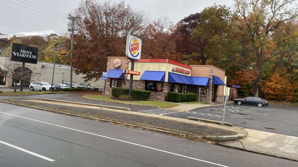
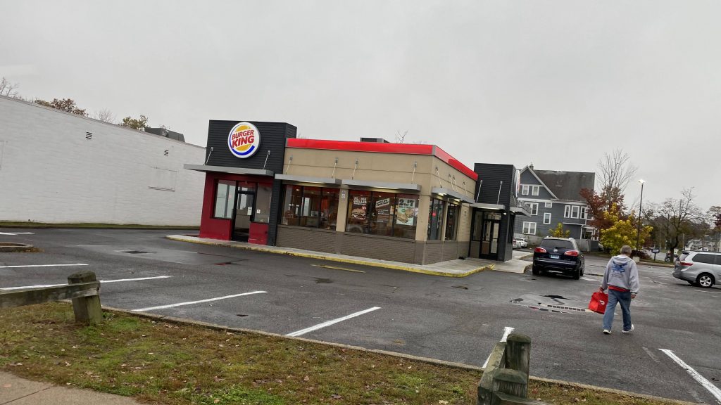
I WALK TO BURGER KING, THEN I WALK BACK HOME FROM BURGER KING!!!Nah, we ain’t expressing. That’s cheating!
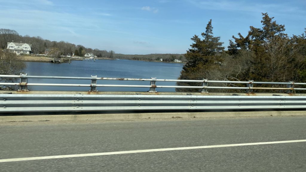
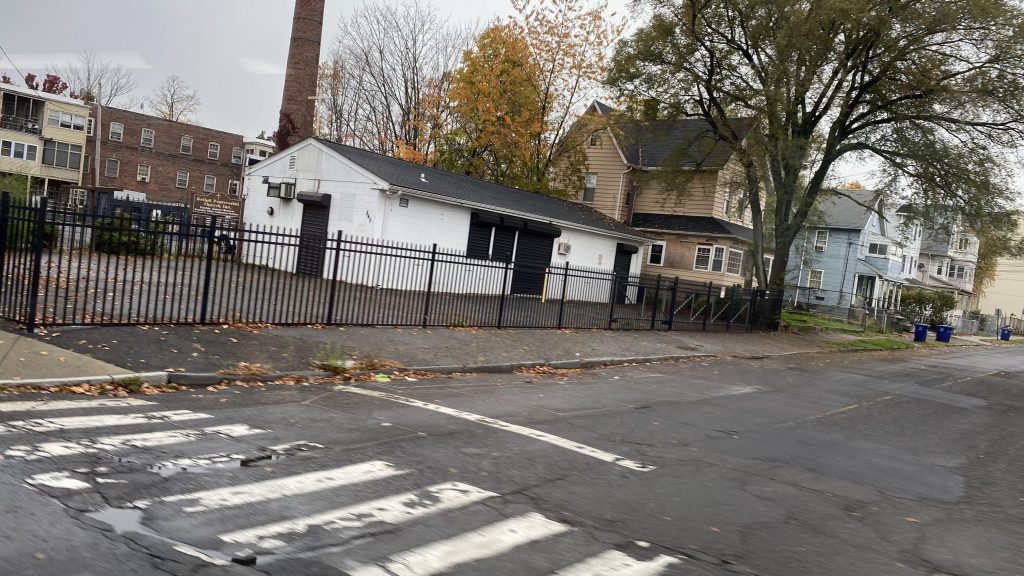
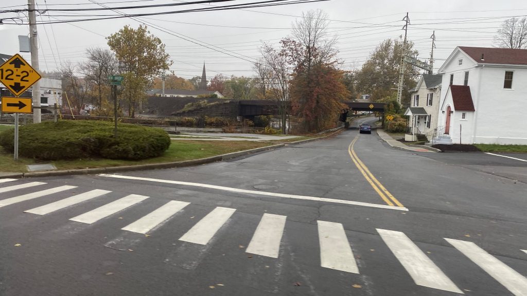
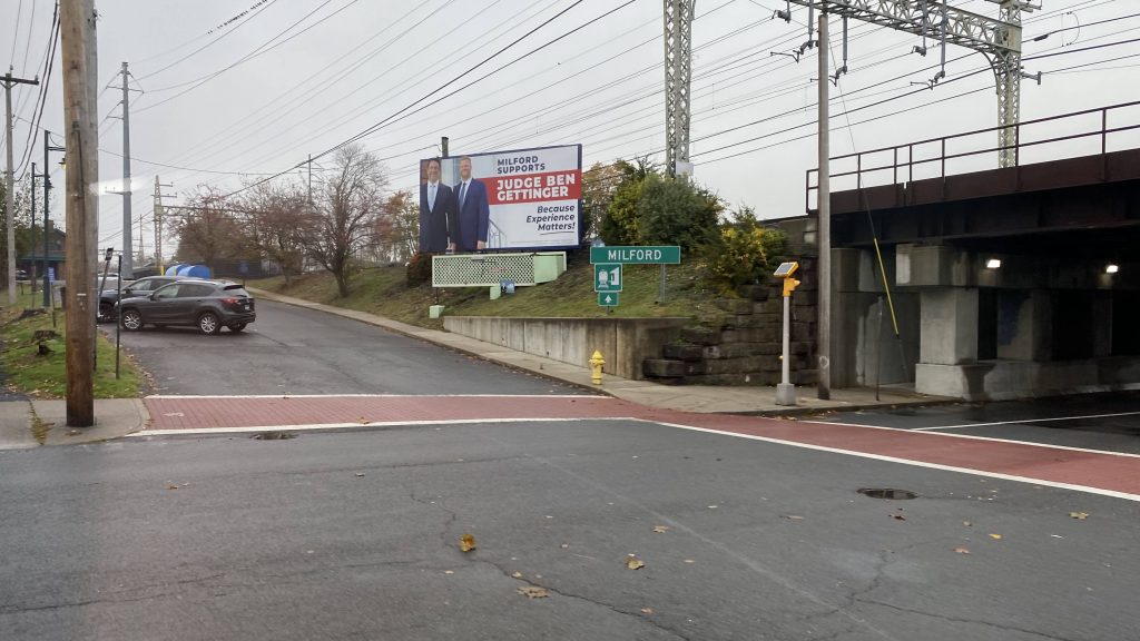
So, we go down Route 1, turn down a street into downtown Milford, and down Broad Street. At this point, we’re in flag stop territory as Milford Transit doesn’t really have signed bus stops. Several people got on, and we high tailed it out, turning onto South Broad and eventually Bridgeport Avenue. Fortunately, it was a straight shot into Stratford and deviation #1 (2? Would the mall count?)
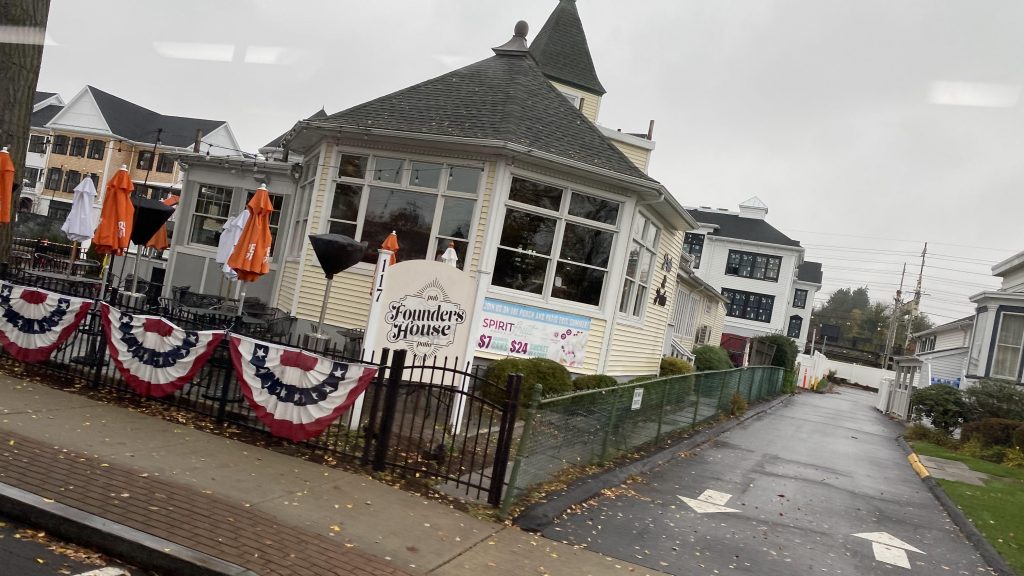
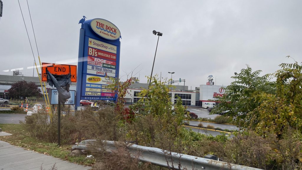
Cumby’s!Shop-Rite!Crossing a small creekMilford’s Metro-North stationFounder’s HouseI don’t even remember what this wasAnother restaurantEww, car dependencyIs that a playground?OH MY GOD IT’S A PONZI SCHEME!A shopping plazaI said NO CHEATING!!!Yep. Still in New England.Devon Center!The- *checks pronunciation* The hauser tonic river????? Did I get that right?HAUSER TONICS?!…A Family Place! (despite being a strip mall largely)
Alrighty, now that we crossed the… *looks at pronunciation key*
Hauser Tonic River? Did I get that? They named a river after Stjepan Hauser?! Oh, oh HOOSA-tonic. Damn, that’s disappointing.
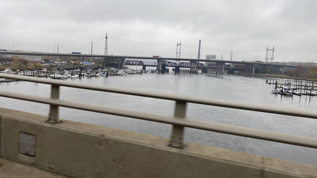
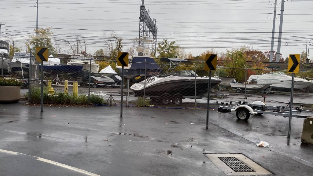
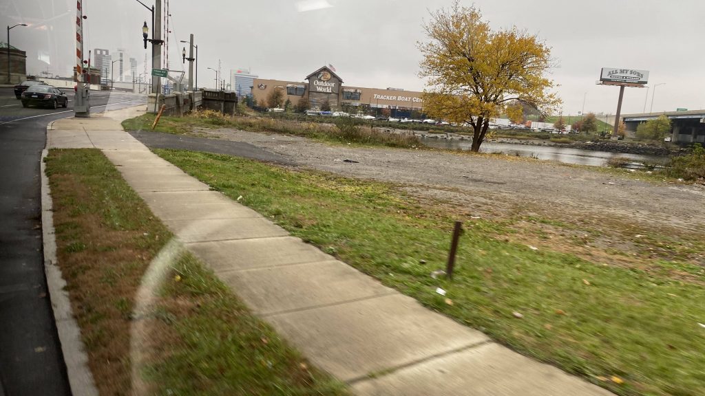
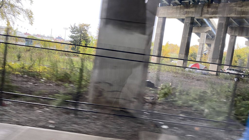
After crossing the Housatonic River, we entered Stratford, left flag stop territory (stops were signed), and deviated to The Dock Shopping Center, and a double deviation to Stop & Shop specifically. Upon finishing this, we turned onto Barnum Avenue, passing a Walmart. Turning down Main St. brings us past Stratford’s Metro-North station. From here, we pressed on further down Main St., eventually turning down Stratford Avenue, and soon enough entering Bridgeport. At this point, we had townhouses lining the streets and, while it wasn’t the best-looking area, it wasn’t the worst either. Around here was where ridership started to pick up, with the bus eventually reaching about 80% capacity. Yeah, I didn’t think I’d see a Milford Transit bus this full. As we pressed on, we crossed a couple more rivers, passed a Bass Pro Shops, and went under the interstate twice, passing homeless camps, until we deviated into the GBT Terminal.
Some more New Haven LineStop & ShopGODDAMMIT, EVEN ON MY DAYS OFF I CAN’T ESCAPE THE WALTONSA GBT bus signI spy a Waterbury trainAnother shopA small shopping plazaI spy the interstateAt this point, we were in BridgeportOoh, the playground!More New Haven Line goodness. Man, those catenaries look sorry as hellNear the Bridgeport layover yardA small churchSome housing, inching closer to the bus terminalA grassy field near I-95Bass Pro ShopsStarbucks behind the treesA homeless campThe bus terminal’s buildingIN A PINCH? CALL FINCH! (but also OH NO, DOTS!)
Alrighty, so after deviating into the GBT bus terminal, swapping an 85% full bus for a 95% full bus, we turn down John Street and Fairfield Avenue. From here, we still pass a bunch of houses and shops, pass under the New Haven Line again, and pass under I-95 again. And it’s more of the same. Again. But at least we pass a Dunkin’ and a creek! Neat.
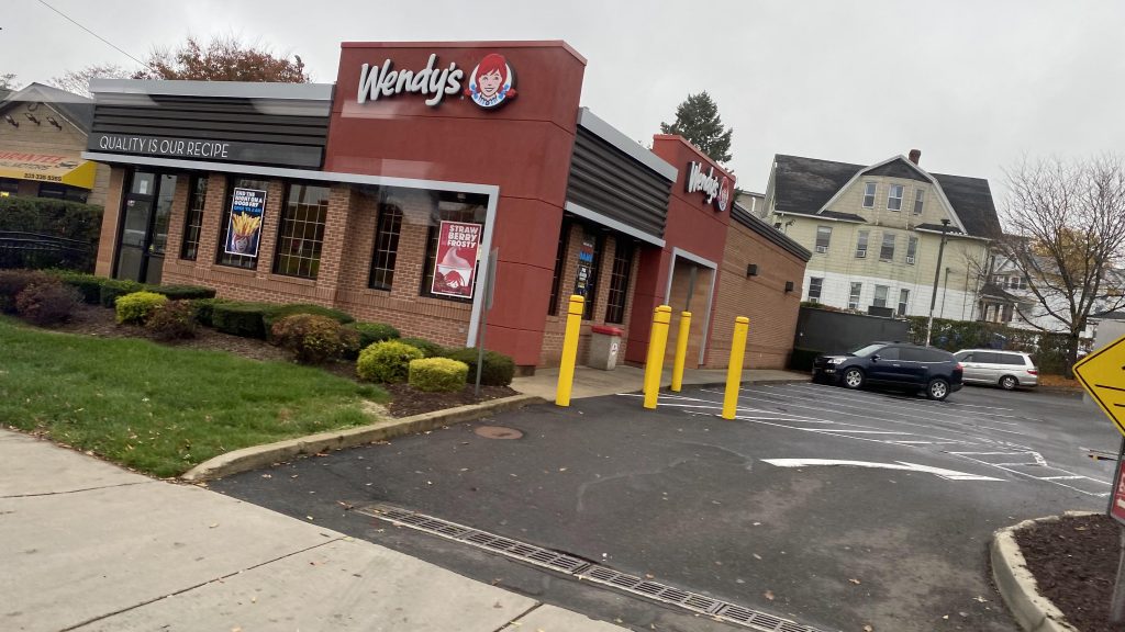
Stroad HELLYep. Still New England.Fenced off lotI don’t even want to knowA Mexican restaurant?Respect the dead, dammit!Fancy-ish street signMicky D’s!SIR, THIS IS A WENDY’S!A side streetA dead end streetA creek
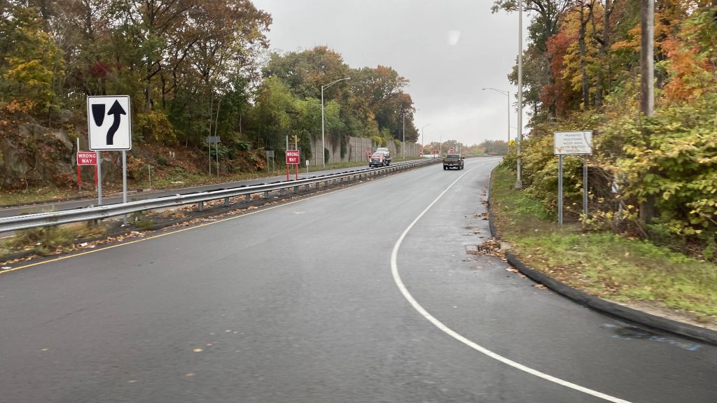
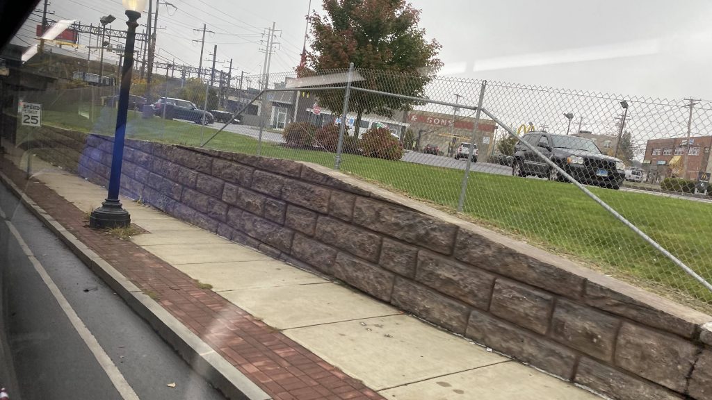
At this point, we were in Fairfield, and we’d reach Route 1. Again. But, the interchange was a bit hacky since the bus stop was positioned in such a way where a sharp turn was necessary. And yes, someone DID get on here. We kept on down Route 1, through Fairfield’s town center and past the town green. I must admit, it seems like a nice area, save for on-street parking on a stroad. We also passed by a side street near Fairfield’s Metro-North station. But, once we left Fairfield for Westport, it was stroad HELL.
Turning!Grassy!Citgo and the New Haven LineA theater!This feels like 11ft8DAIRY QUEEN!sbubbyFenced-off grassy fieldInto Westport!
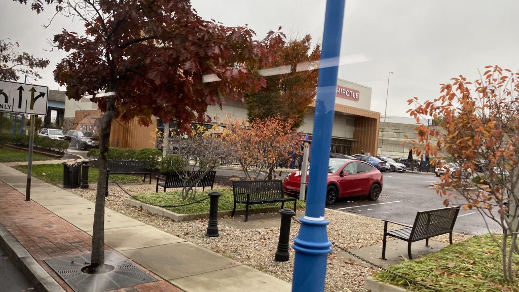
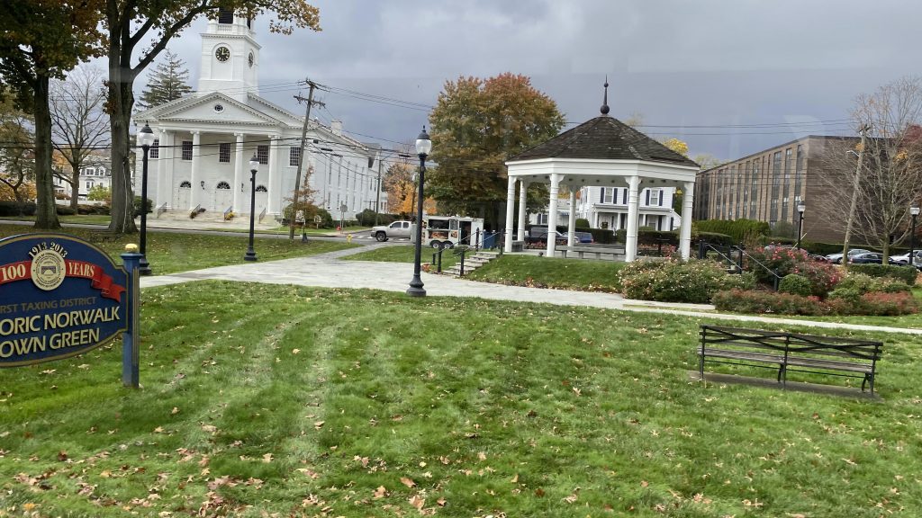
Of course, once we entered Westport, it was stroad HELL. It legitimately was nothing but shopping centers on either side. No deviations either. But, wait, there’s a proper downtown area in Westport?! Holy CRAP! Sadly, though, it’s nowhere near Westport’s Metro-North station. But then we crossed the Saugatuck River and it was the same crap. Strip malls and needlessly wide roads, all dragging on forever. Until, oh crap, we’re entering downtown Norwalk! Yeah, we took a turn at East Ave., passed the Norwalk Green, crossed the Norwalk River, and a few more turns and FINALLY we made it to the WHEELS Hub!
Oh please, more plazasLeavesI think this is an office park, I don’t rememberAn apartment and assisted living complexA smaller shopping plazaComing soon!THE GOLDEN ARCHES RETURNOh please, ANOTHER strip mall?!AND YET ANOTHER ONE! This was why highways were invented!A real estate officeMore shoppingAND MORE CAR DEPENDENCY!AND THE BILLIONTH STRIP MALLAt least there’s a storage facility!Look, money laundering!I don’t remember what this was eitherAre we there yet?!The Norwalk Green!So close!This feels like WoonsocketTrees and the Norwalk River!A BENDY BUS! (obviously, not Milford Transit, but it’s the end of the line no less)
The good: You can’t say it doesn’t serve a lot! Yeah, it serves quite a bit. Three RTA jurisdictions (5 if you include the Stamford and New Haven divisions of CTtransit!), several towns, all stretched out over 20 someodd miles. Plus, it’s pretty much THE definition of a cross-regional bus route, serving multiple major cities along the way and with the various smaller communities. Also, it’s only $1.75 (which seems to be standard statewide, regardless of authority), vs. $4.50 for an intermediate ticket on Metro-North (from Milford to South Norwalk). And it runs to 10pm?!
The bad: It’s a bit long! I mean, yes, it’s intended to connect multiple places together, but it just drags on. The fact it’s all stroads doesn’t help much here. And, no front-door service to Metro-North? Would it have hurt to deviate into Stratford’s inbound platform at least, along with Fairfield’s?
Nearby points of interest: Norwalk! Bridgeport! Stratford! Milford! Also the Post Mall (which is the largest in the state!)! Also, whatever is in Westport. Yeah, there’s not much around there given the stroady nature. There’s also Fairfield, which seems alright.
Total crossings over the New Haven & Danbury Lines: 7
Total crossings over I-95: 10
Overall, it’s a decent route. A marathon, sure. But, it gets the job done as a link between the communities it serves. Plus, the connection between transit authorities and CTtransit is always nice. But, if you’re looking for speed, just take Metro-North.
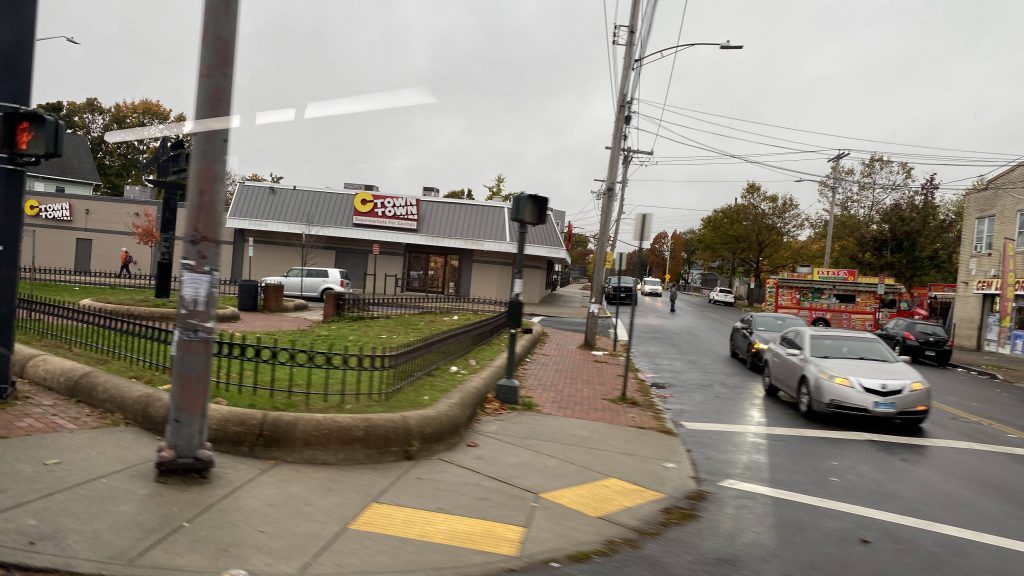
Alrighty, another CTtransit route! Now, this one’s a bit tricky as there’s THREE(!!!) variants of the route. But, looking at the schedule, the 271M to Milford is the full run, with the 271S to Savin Rock and the Sunday-only 271R being short-turns. The full run also runs every 40 minutes, while trips go to Savin Rock every 20. Now, with that out of the way, let’s get into it.
BENDY BOY
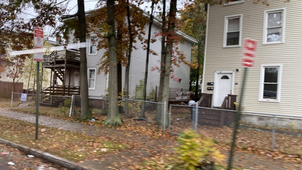
So I got on the bus at Union Station instead of the New Haven Green, and from there we were off to the races. A few turns and Route 1 later, we were on Howard Avenue. Was there a prison? Not really. However, I wouldn’t describe this as the best part of New Haven. Dangerous still? Not really, though. But it was a high ridership area, and from here, we turned down Kimberly Avenue. We passed through a bunch of row homes and shops, even a school and a park. Soon enough, we went under the interstate and over the West River, into West Haven.
Not very developed.The roads are in horrible shape, it looks likeAn apartment complexCTown Supermarket!More housingYep, still in New England.The West River
So, at this point, the road became Elm Street as we passed more of the same. Yep. More houses, more shops. Same stuff, different town. We made a turn, down Campbell Avenue, which seemed sorta walkable, I guess. It has parking on the sides of the street. Eventually, though, we’d make our way to the ocean and Savin Rock Park. By this point, ridership has fallen significantly, but there were still a few people on the bus.
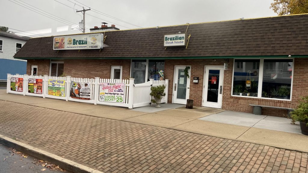
eef freefIs this a castle or something?Brazil!Kurger Bing!Town hall!Even more housing, oh my!Look, a Dollar Tree AND a Family Dollar!Scenic!
Alright, from hereon out it was what is probably rich NIMBY hell. Following the ocean, on the side I was sitting on, it was just houses upon houses, sometimes a park, but it all looked like it’d belong to rich people. There was also a beach along the way at one of the turns, and the other side had much more for the eyes to see. Eventually, there were some shops like Sunoco and Dollar General. At one point, we even turned down a side street that probably shouldn’t have buses on it. And yes, it’s part of the route.
This feels like rich NIMBY hellA fire station and a parkPond!Sunoco!Look, another Dollar Tree!And some food truckA side streetSharp turn!Another side streetDollar General!More rich NIMBY hellCrossing somethingMore housesNIMBYISM AT PLAY, BABYAYYYYOH NO EVEN THE CUTAWAY VANS HAVE DOTS!!!
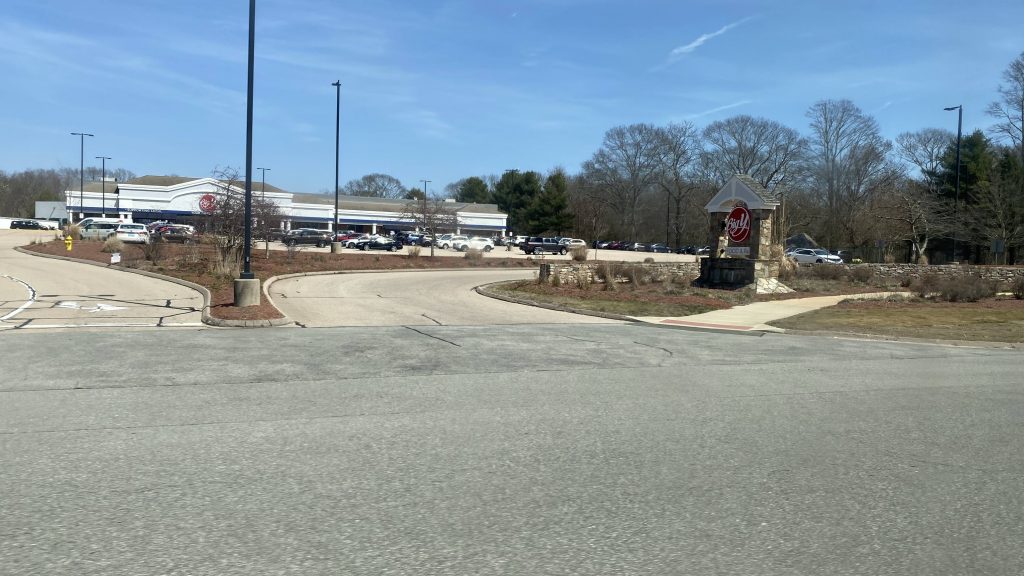
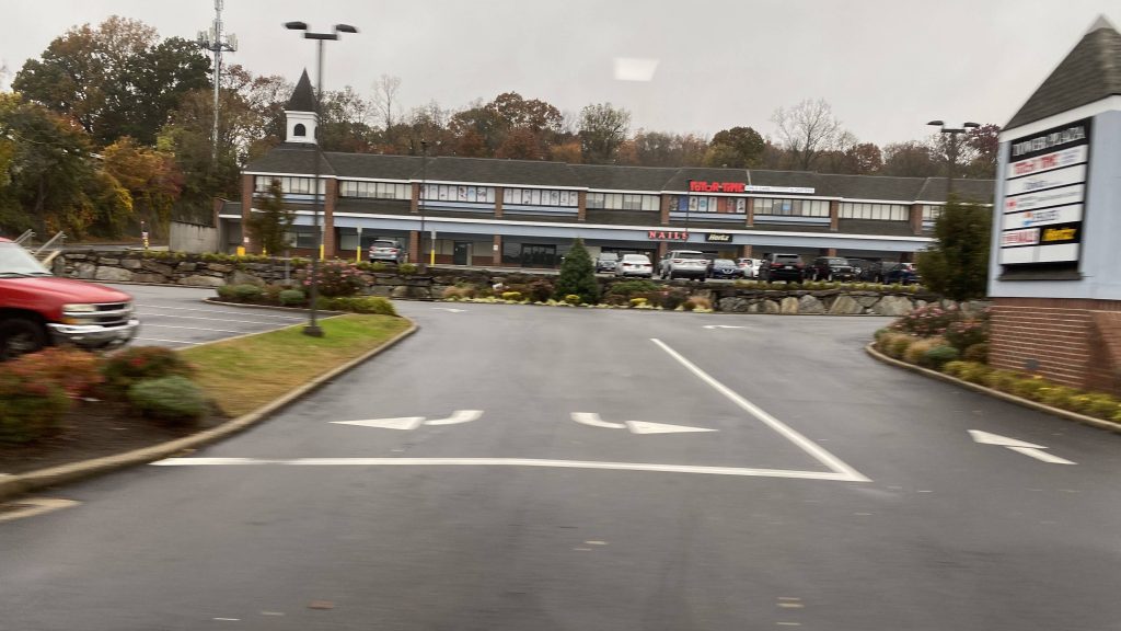
Finally, we made it to Milford. From here, we turned down New Haven Avenue, deviated towards Milford’s MNRR station, and went back up the way we came. From there, we went further up Gulf Street, and down Route 1 to the end of the route at the Connecticut Post Mall.
Pond!Not yet!I SAID NOT YET!Milford’s MNRR stationRespect the dead!The mall!
The good: Well, it serves a lot of mostly high density neighborhoods! It also directly-ish serves Milford’s Metro-North station, along with the Connecticut Post Mall. Short-turns to Savin Rock are also nice, since not everyone needs to go the full hour ride out.
The bad: What’s with Sunday routing being different? It also feels like it drags on forever through rich NIMBY hell, but to be fair not many people there are probably looking to take CTtransit.
Nearby points of interest: Milford’s downtown and the Post Mall. Also, Savin Rock and the West Haven Green.
Overall, it’s a decent enough route. It definitely serves a lot, and, at least on my run, was a few minutes early. Nevertheless, I’d say that this route would be better having the express variant over the 261.