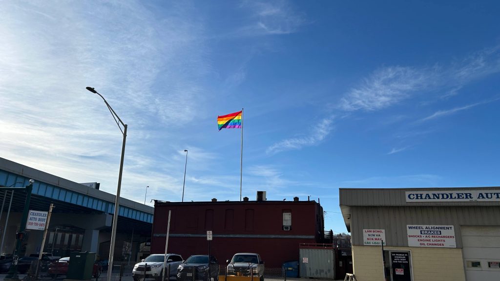
Wait, wait, wait…SEPTA?!?!?!??!? Did we seriously just backwards long jump past the ENTIRITY OF NJT TERRITORY?! Nah, this ain’t Mario 64. And even then, I still have NJT in the (as of writing this, very VERY large) backlog. Without further ado, here’s the first SEPTA Regional Rail(TM), first SEPTA (systemwide), and first blog entry anywhere beyond New York or the far Northeastern US.
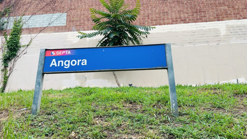
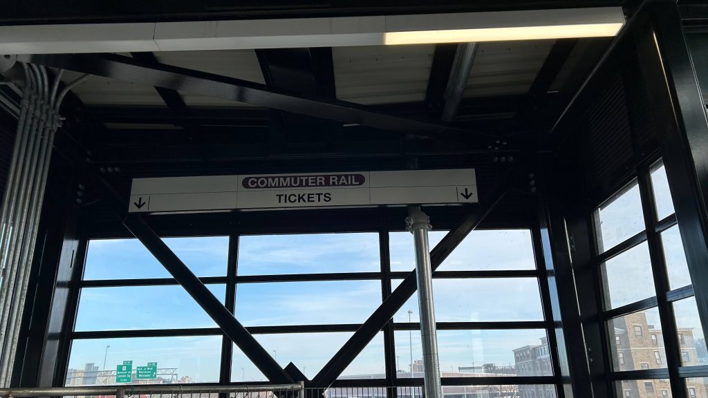
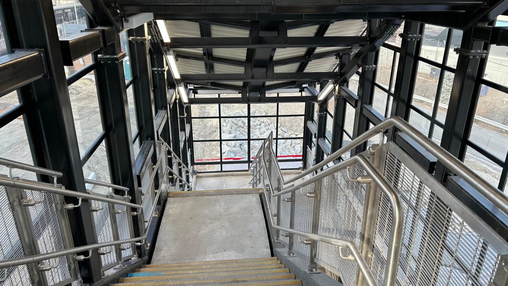
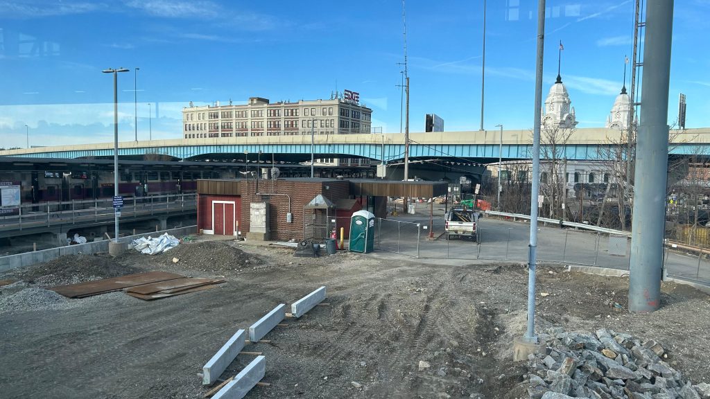
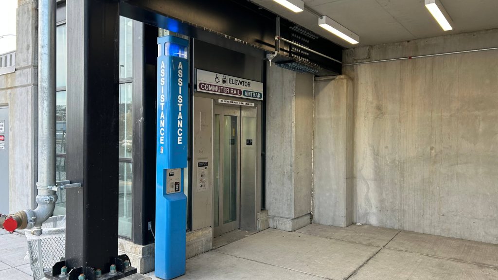
Signage!
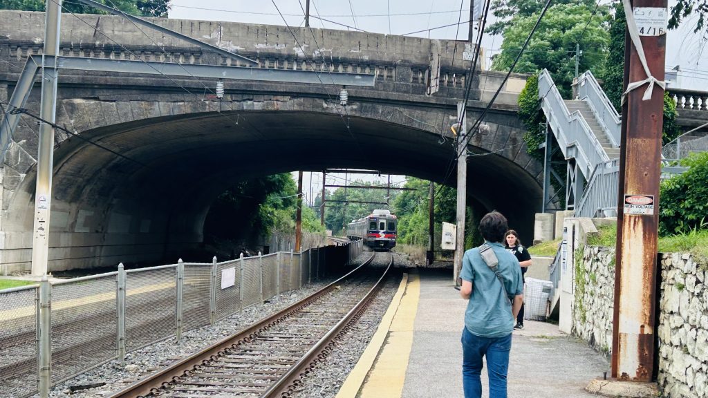
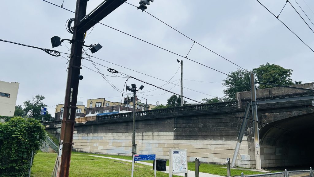
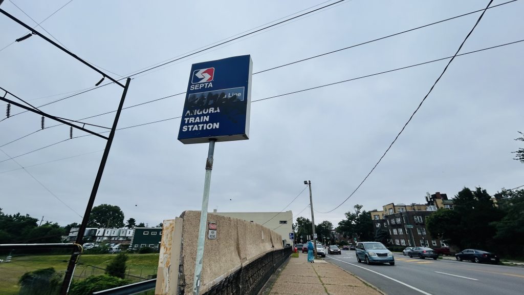
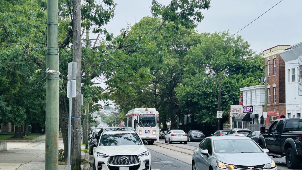
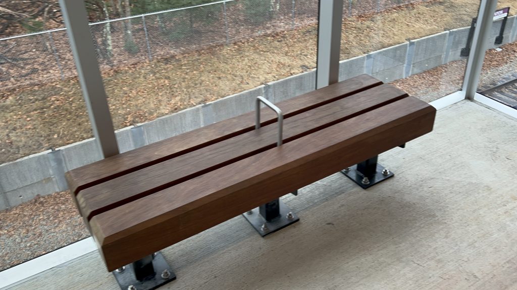
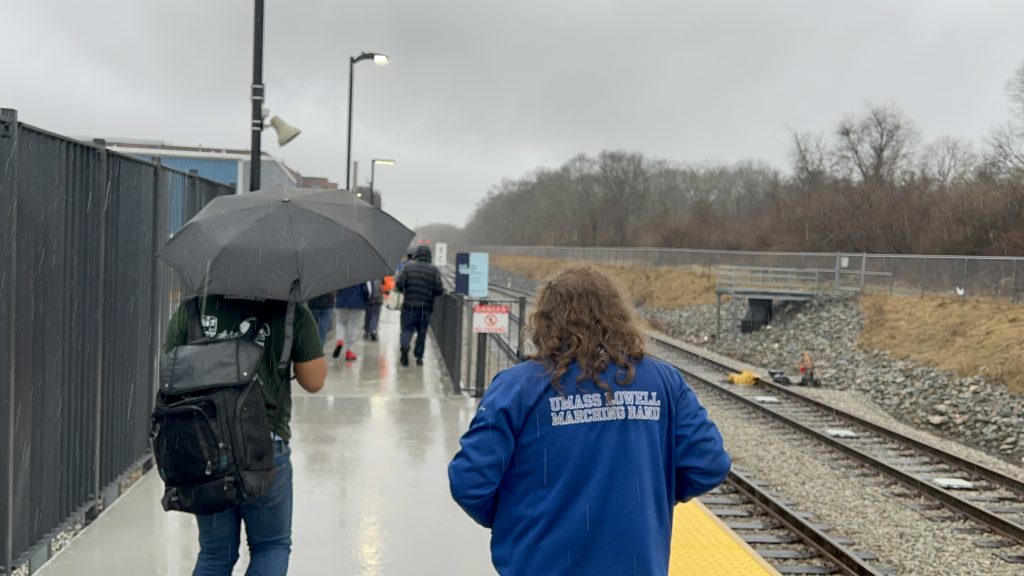
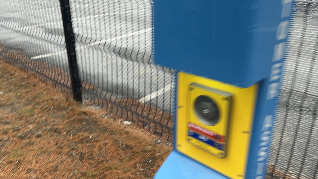
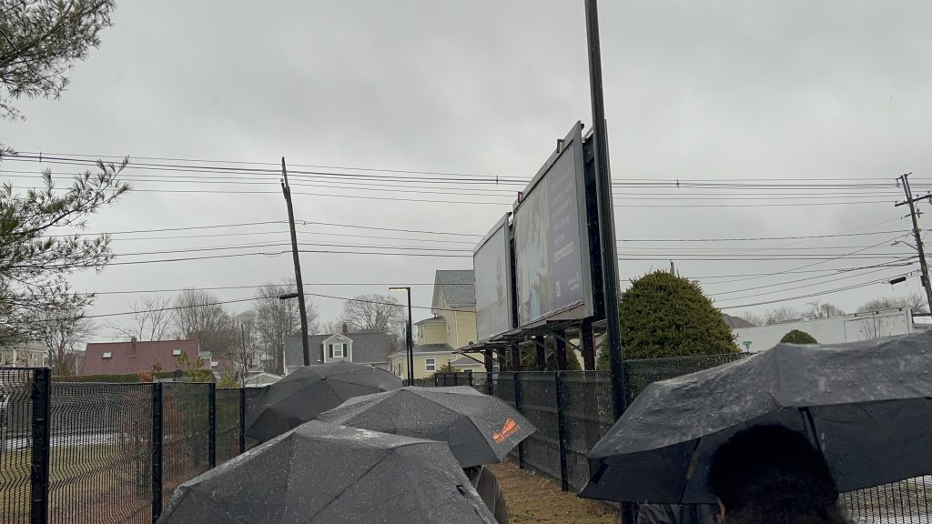
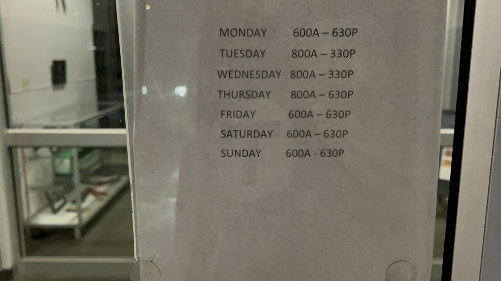
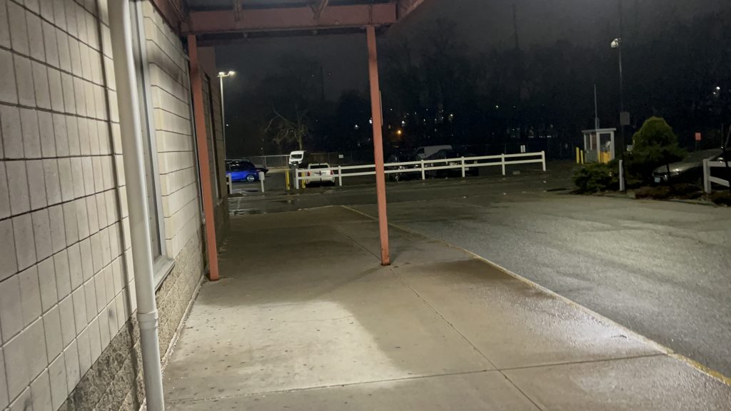
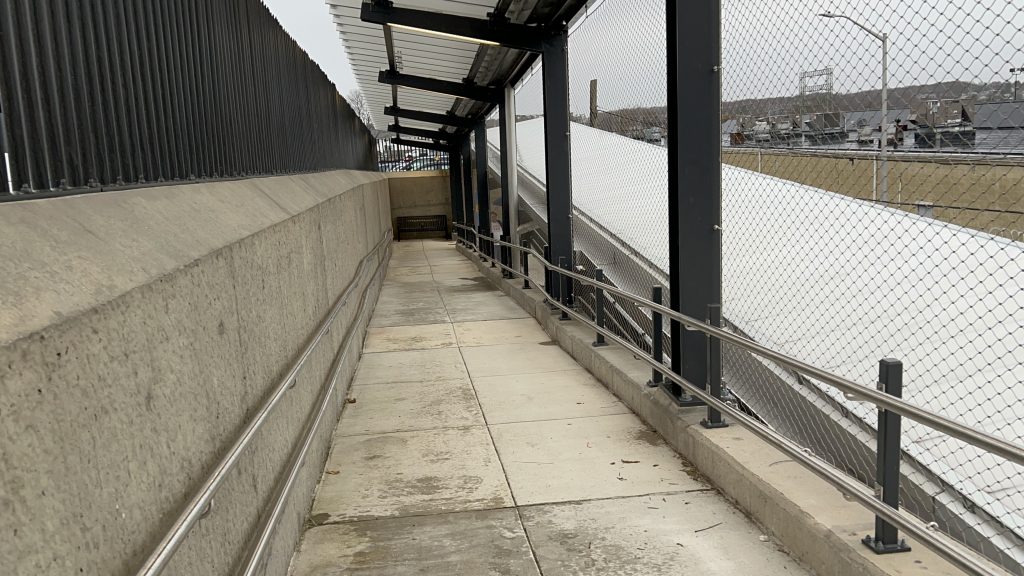
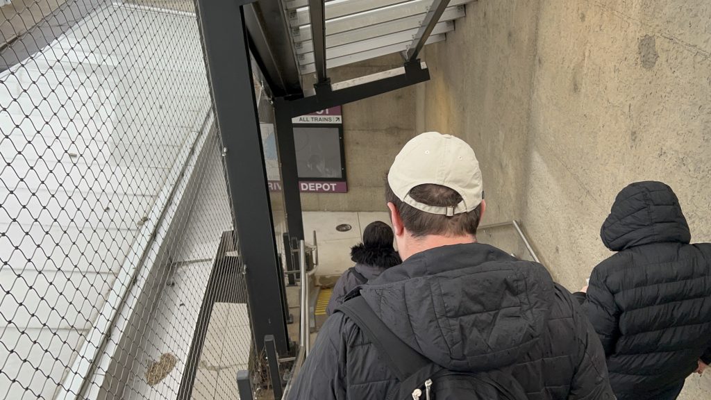
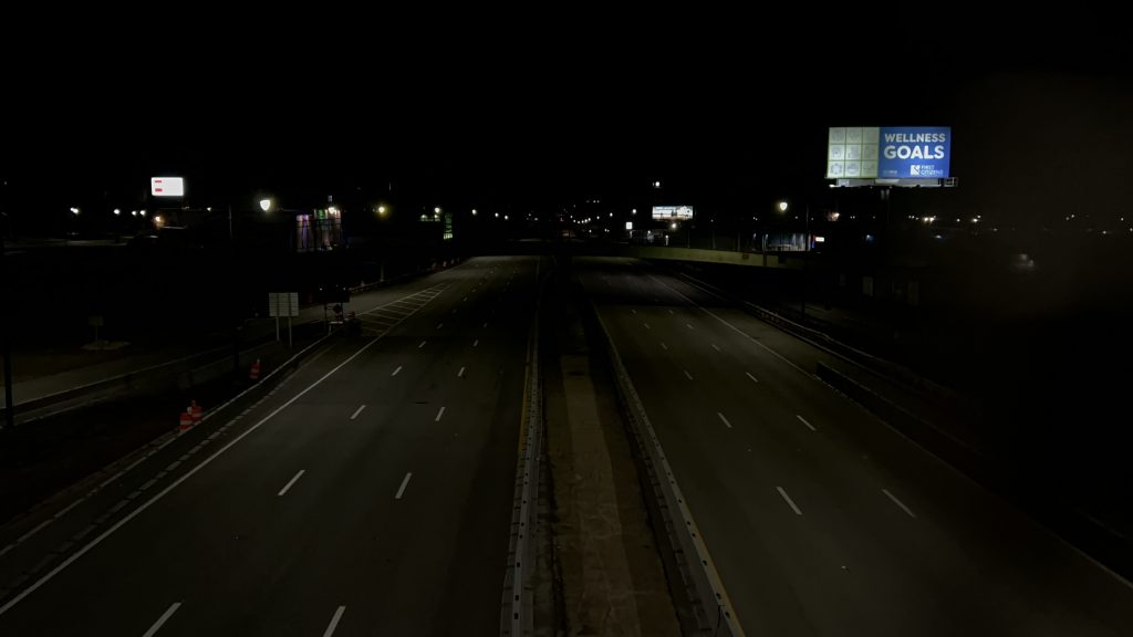
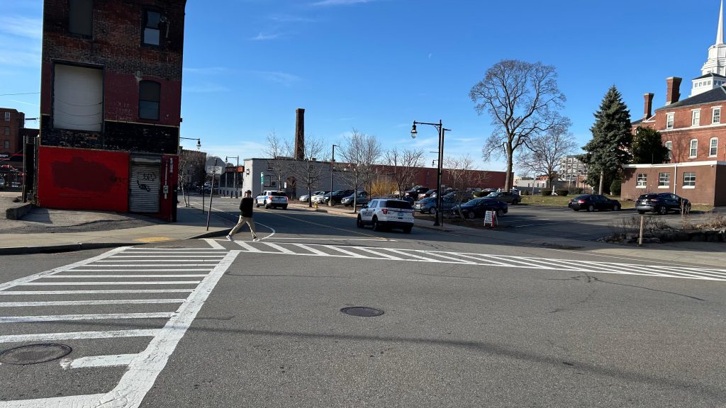
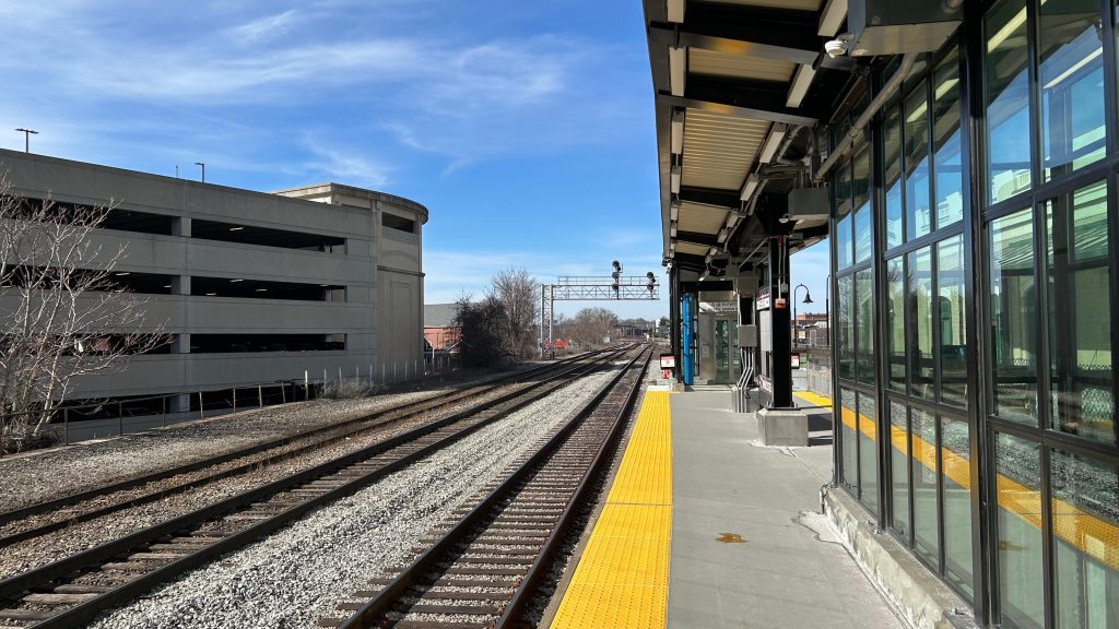
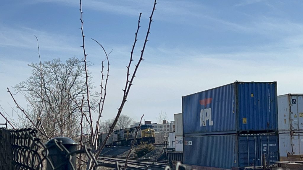
Angora Station is located on the outer fringes of southwestern Philadelphia, on SEPTA’s Media/Wawa commuter rail line, in the namesake neighborhood of Angora. It consists of rather little in the way of amenities (not even seating or a bus shelter?!), and even less in the way of accessibility. In fact, the only thing remotely ADA accessible about this (quite bluntly: shitty!) station is the bus connections, being the 46 between 63rd/Malvern and this station (where it turns!), and the 63 between Overbrook Station and Columbus Commons in South Philly. You might get a transit-accessible pile of rocks, if you’re lucky! As for inaccessible connections, you have the T2 trolley line on Baltimore Ave., of course. And, what amenities DOES this station have? …a Key Card machine. But, it’s not just any ordinary Key Card machine – because unlike, say, the ticketing machines on the LIRR, NJT, or Metro-North, these DON’T EVEN DISPENSE PAPER TICKETS! WAY TO GO, SEPTA!!! But, it’s also SEPTA. Of course they’ll do things in a rather weird and esoteric way. And, I think that’ll become abundantly clear in some coming entries within SEPTA territory… *wink wink, nudge nudge*
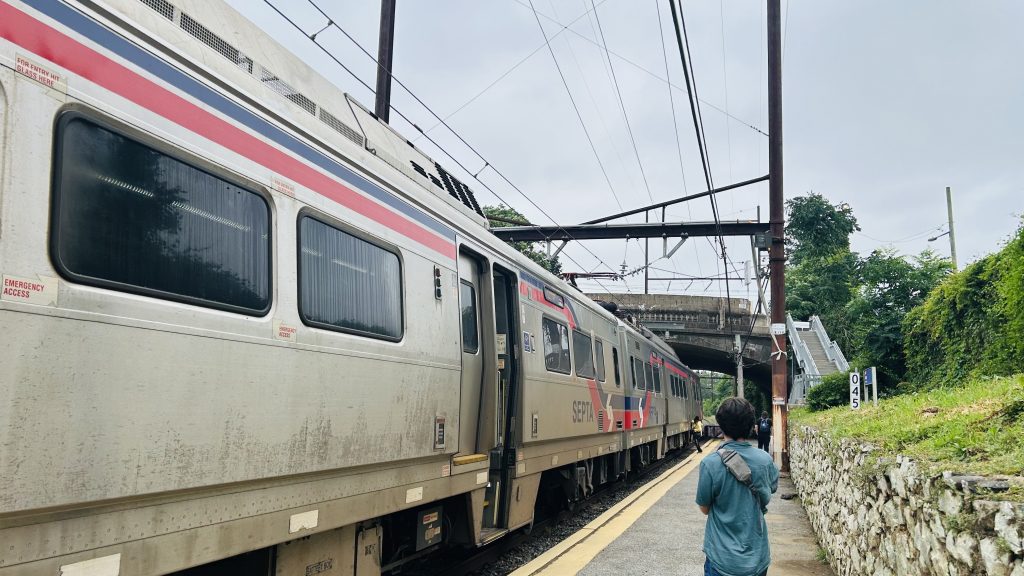
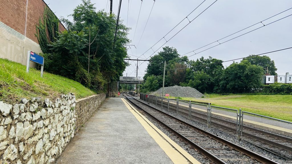
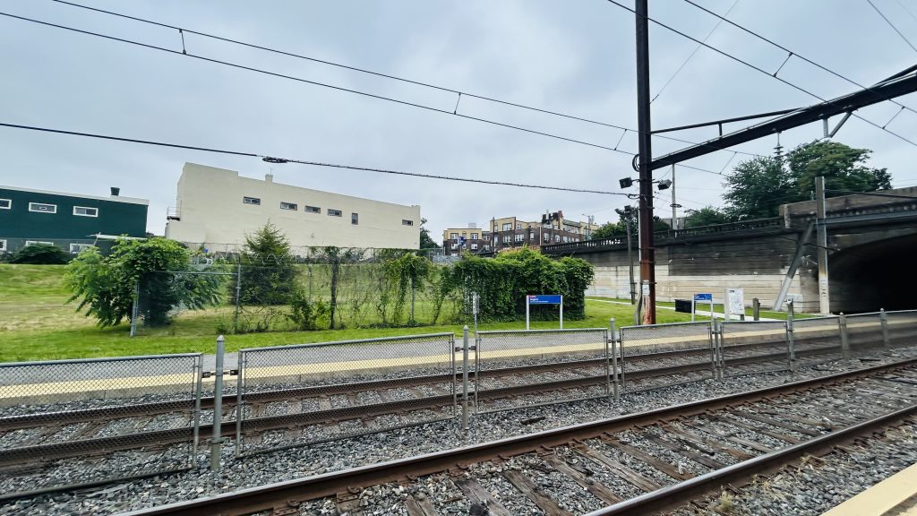
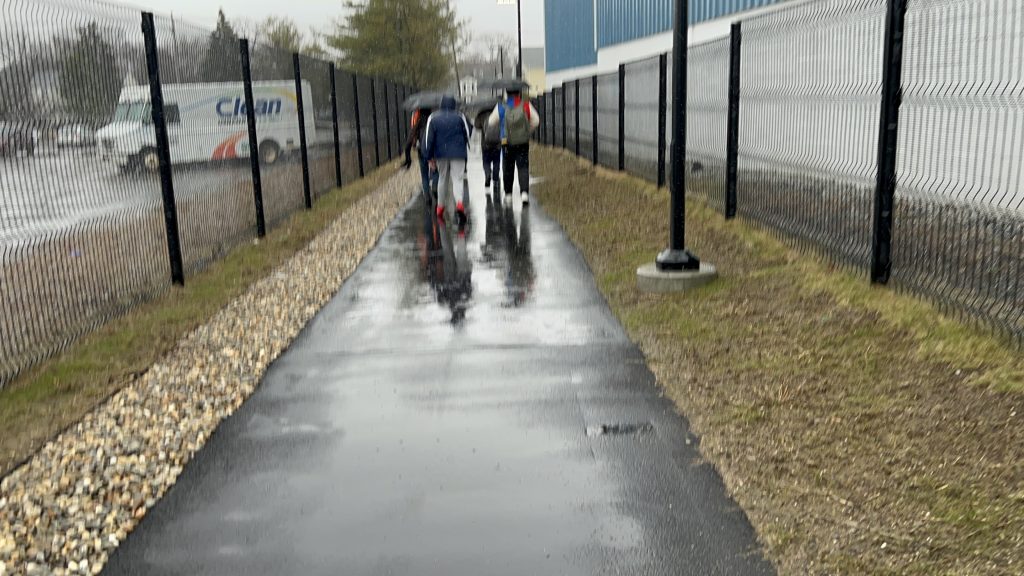
hmm i wonder who’s filming the Silverliner V…And looking towards downtown- er, Center City Philadelphia.ABSOLUTELY NOTHING!!!!!!And onwards to Wawa Station with you!An exit and the street – and lighting, I guessGraffitied lollipopThe T2 streetcar line
The good: …it exists, I guess??? You might see a pile of rocks if you’re lucky!
The bad: Why? Just, why? There is no station house or even amenities. It’s like they forgot the station itself. It’s like it’s just a point on a map where Silverliners stop. What kind of illicit substances were they smoking??? Even the Newton trio is better, because even THOSE had amenities.
Nearby points of interest: A number of churches and mosques, a shopping plaza (w/ a Dunks!), and A LOT OF HOUSING.
Transit connections: SEPTA Regional Rail (Media/Wawa) SEPTA bus (46, 63 – both at Baltimore & 58th) SEPTA Metro (T2 – at Baltimore & 58th)
Overall, just…..why??????? What were they smoking? This is easily among the most “what the hell?” stations I’ve ever used. Just use fucking 46/63 (or the T2, if able-bodied) instead, if possible.
Rating: 0.2/10
Stay tuned, as A LOT more SEPTA (& NYC, and even some NJT) content is coming up in the coming weeks and months!
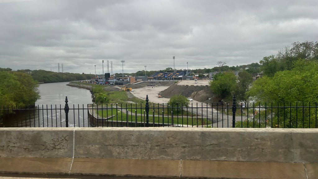
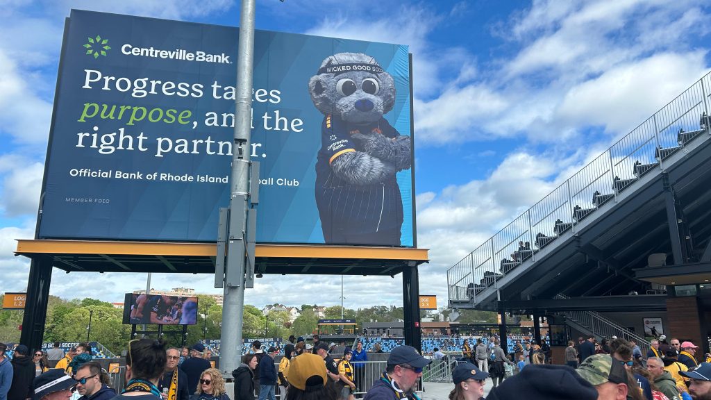
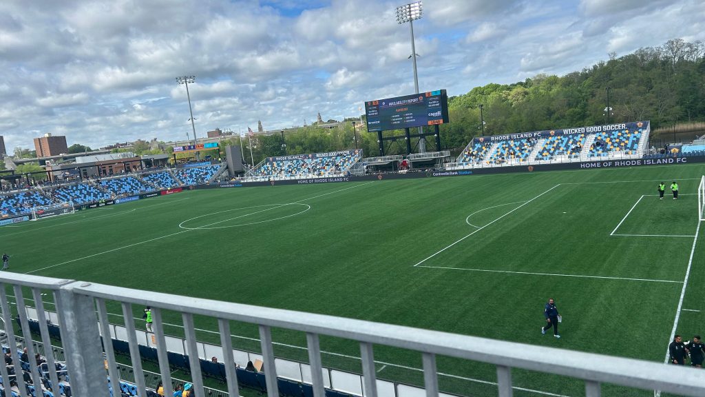
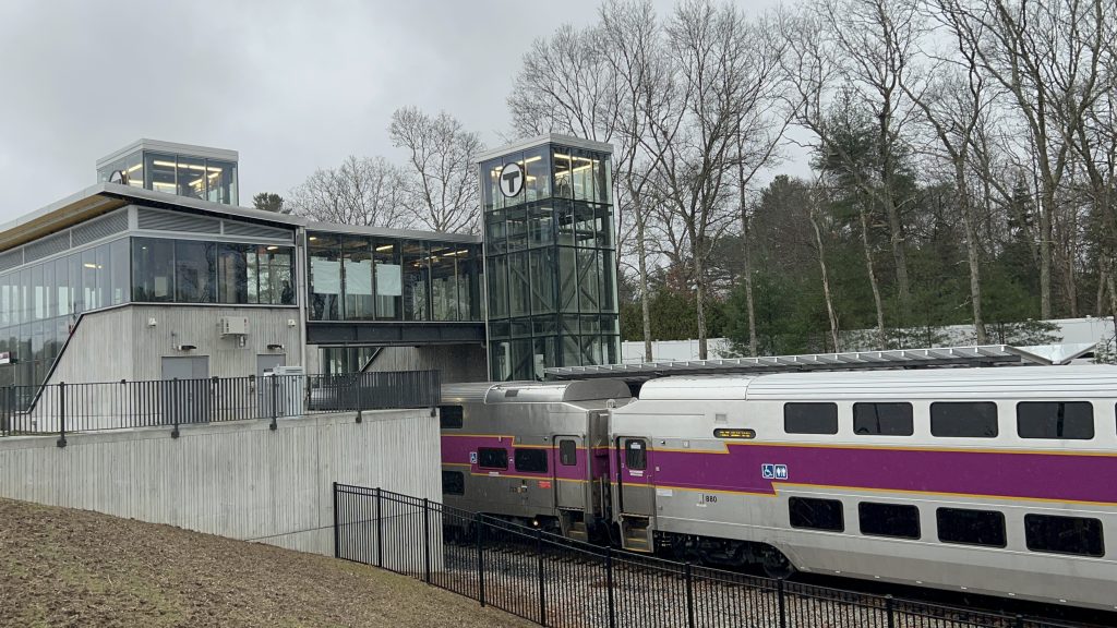
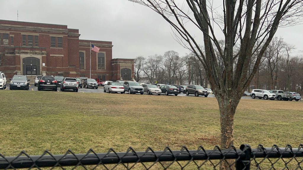
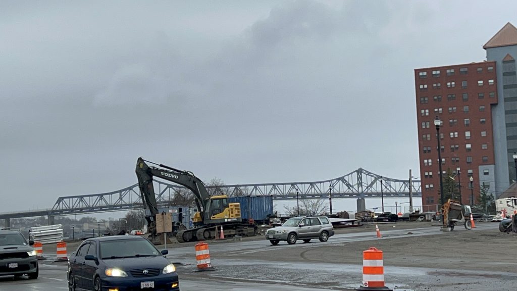
Rhode Island FC is a men’s pro soccer team based out of, as the name suggests, Rhode Island. Historically, their base of operation was Bryant University in Smithfield, however as of May 3rd, 2025, with the home opener against San Antonio FC, they will be playing home games out of Centreville Bank Stadium in Pawtucket. Most of their games will be pitting them against USL teams, as a USL Championship team themselves. However, sometimes, there are situations where a MLS team will be in town, such as the May 7th US Open Cup match vs. the Revs (at which they lost 1-2). Ironically, despite the fact the team has only existed in play since……the 2024 season (damn, they really started AFTER I began this blog?!), they STILL managed to get their own soccer-specific stadium before the Revs. Take that, Bobby Kraft! With all that in mind, y’all might have a pressing question….
Now what the HELL does a USL Championship soccer team have to do with anything I write about?!
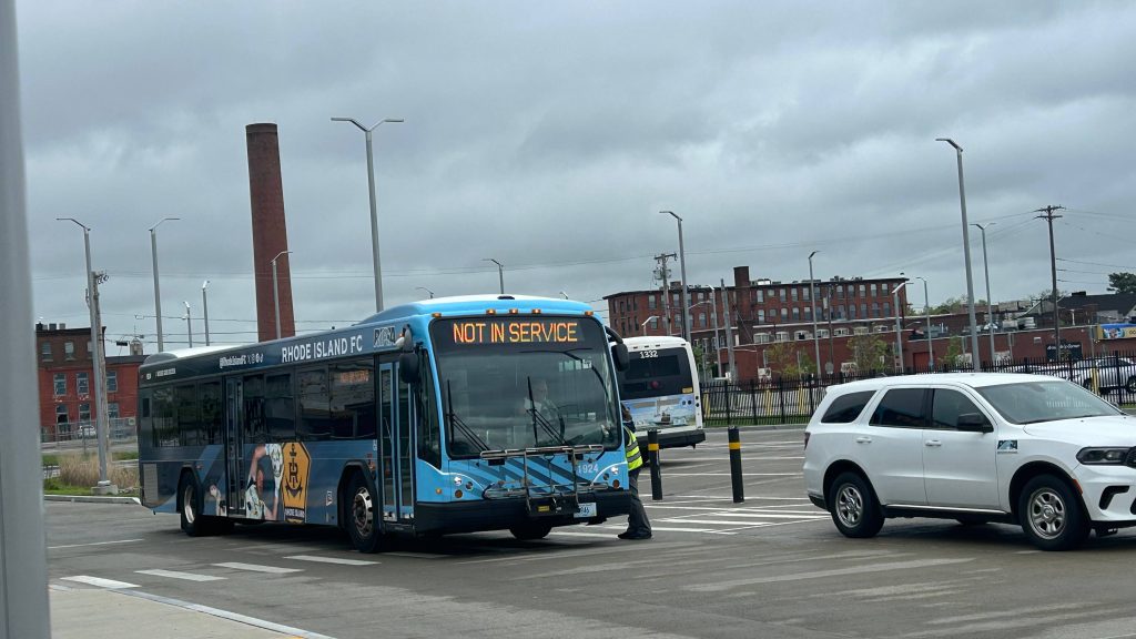
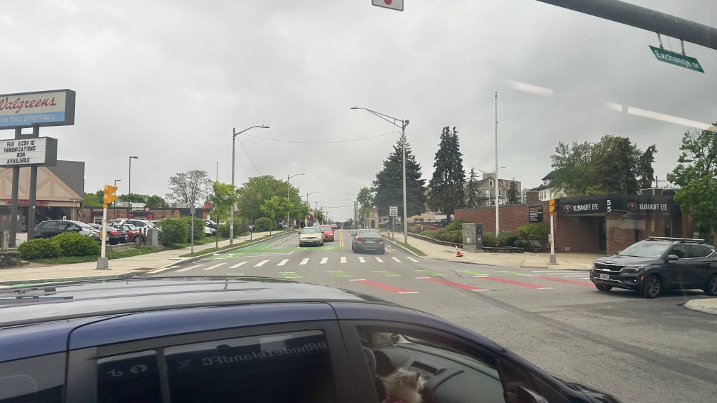
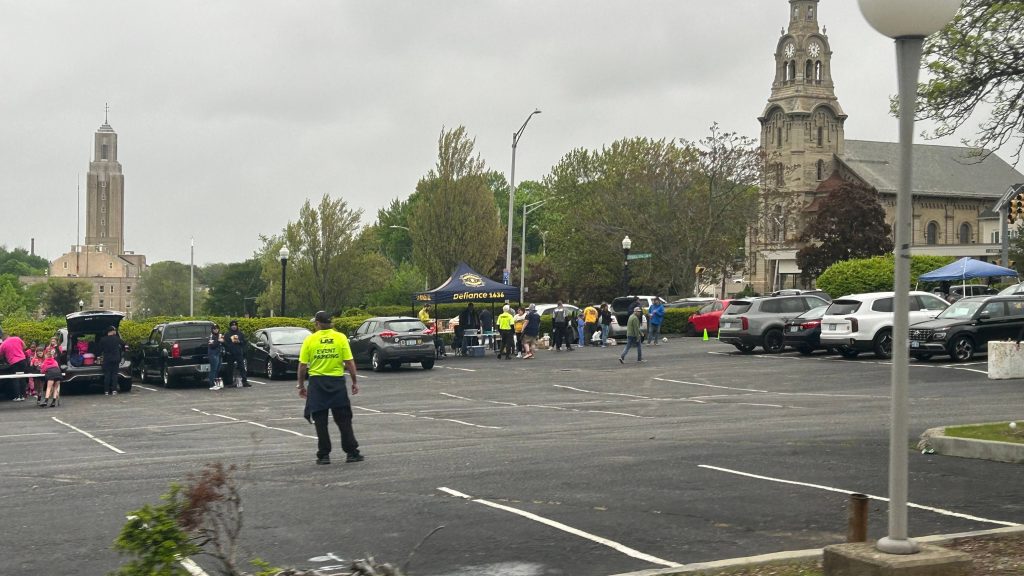
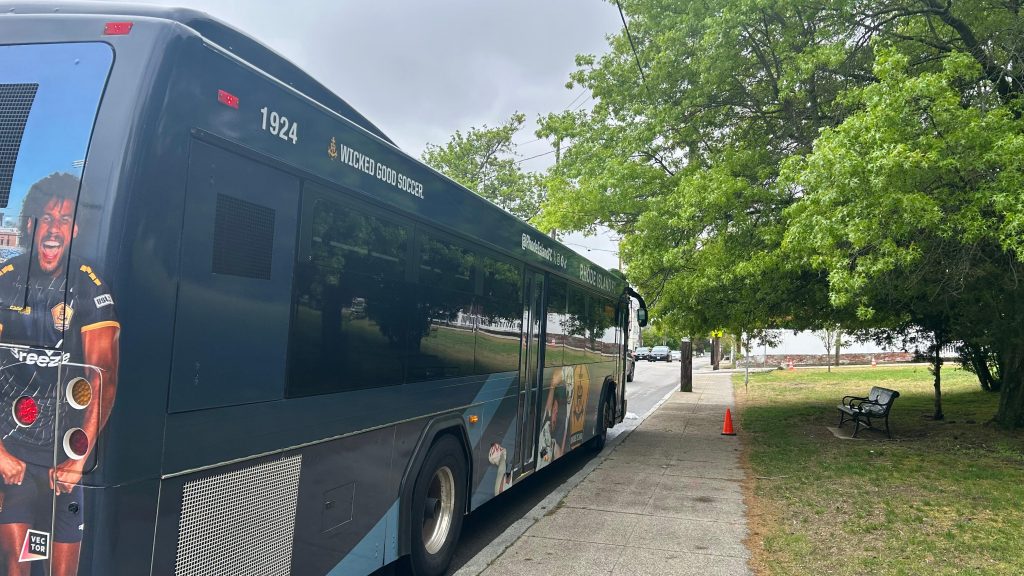
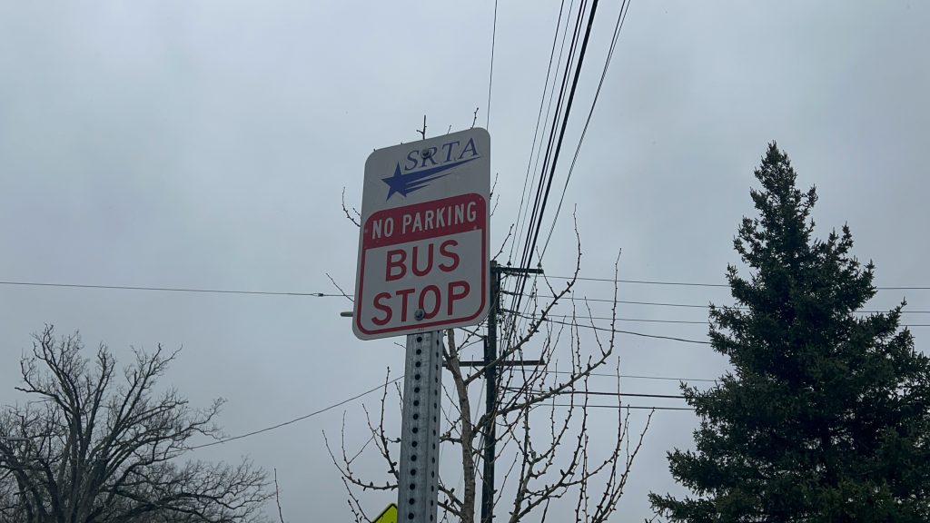
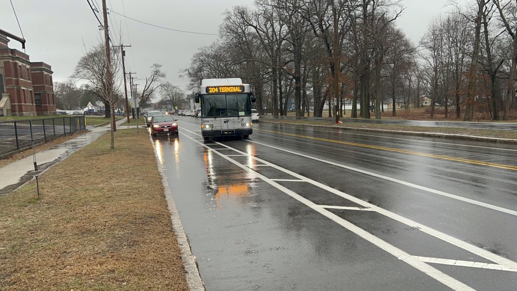
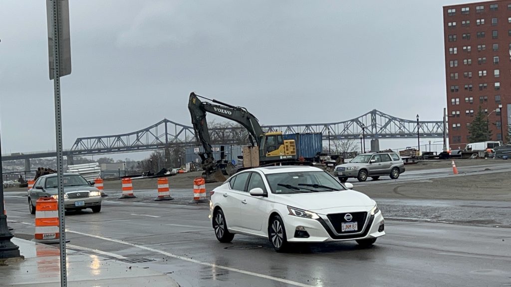
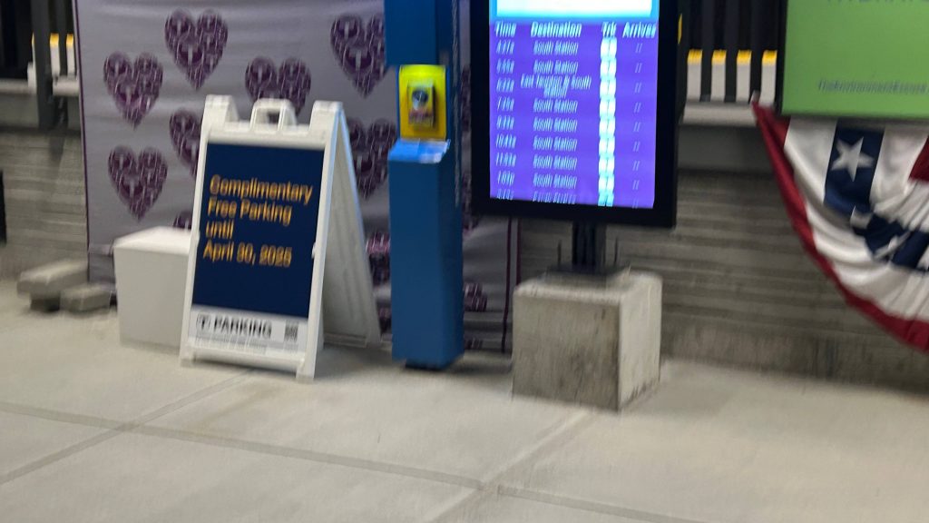
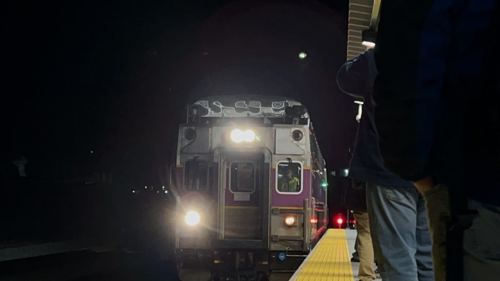
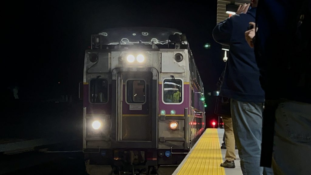
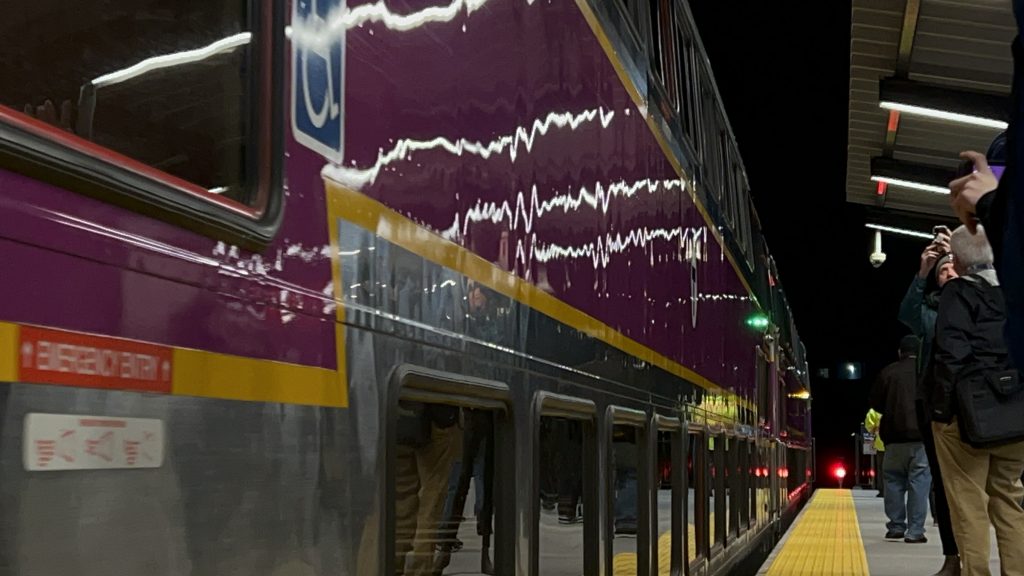
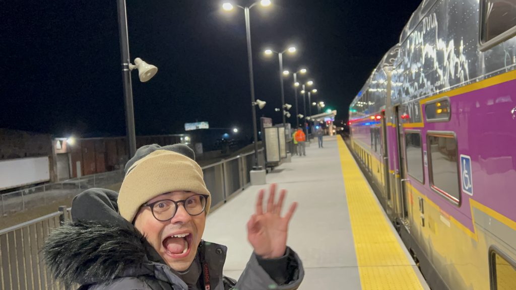
Well, I’ll tell you what: they paid RIPTA to run game day bus service! So, without further ado, here’s what’s in store, after riding the game day service route before the May 10th game vs. Monterey Bay FC – from the Commuter Rail to the stadium via the Apex lot (M7). Let’s look at this, and let’s see how this game goes. I really hope it’s not another draw or another loss…
On-site super talking to the driver. Also, that’s a pretty sick livery, to be real.
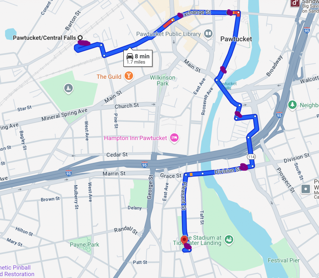
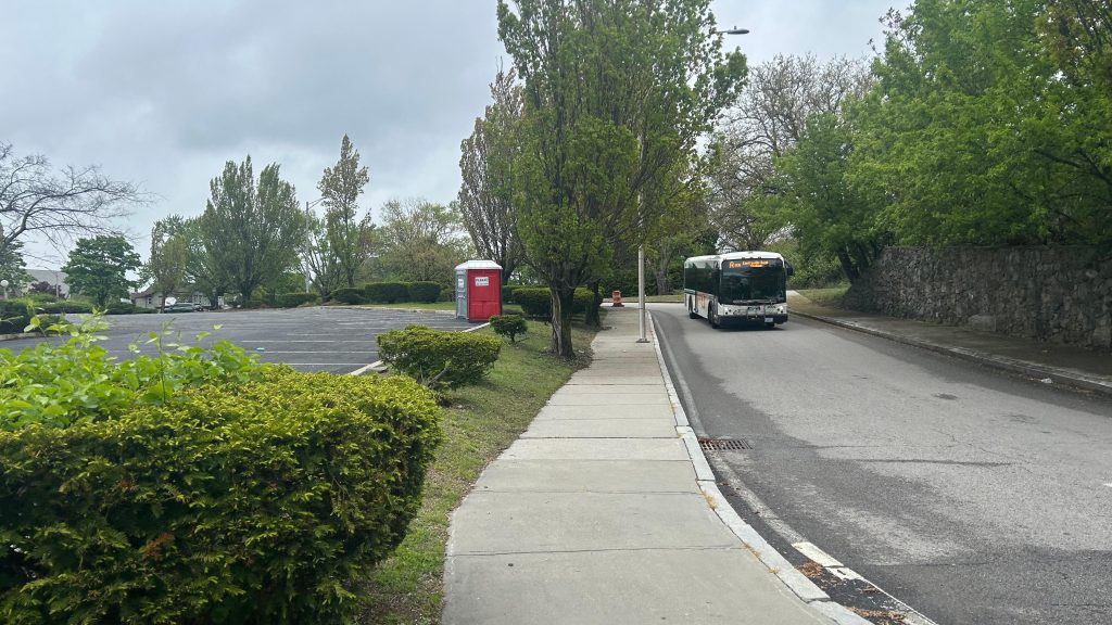
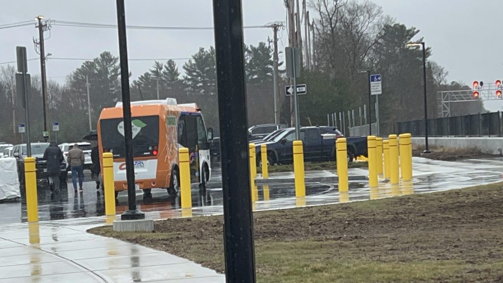
So, after waiting 15 minutes for a bus to even show up, the first bus shows up at the Pawtucket train station. Of course, this also comes after the driver and the on-site supervisor talk a bit, presumably with the super handling headway management to make sure buses actually leave every 8-10 minutes as prescribed. Annoyingly, though, the routes taken were not as what RIPTA’s public material has suggested (which suggested two loops). Instead, what happened, was that the bus did one big loop hitting all the lots in relatively close proximity to the stadium. Here it is mapped out.
The actual route taken
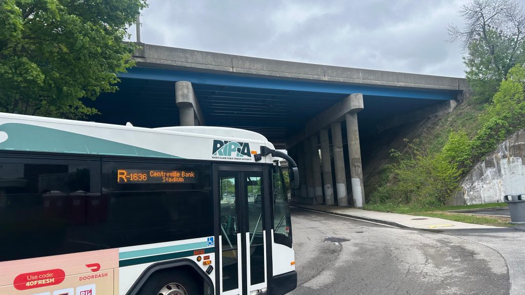
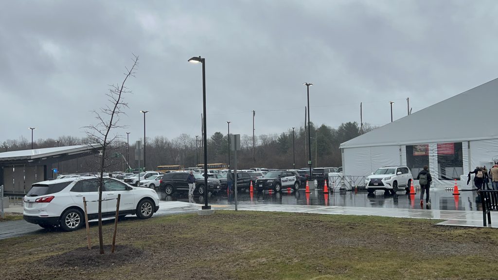
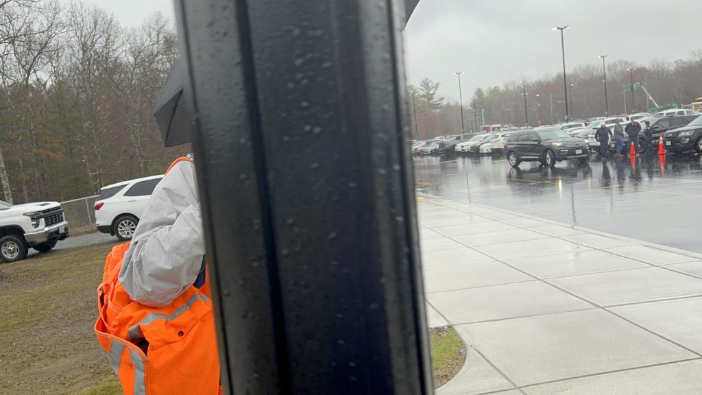
The purple dots are the stops made (all stops are made, no requesting needed). You have stops at Exchange & Broad, Exchange & Roosevelt (lot M16), at the visitors center (lot M12), the Apex lot (lot M7, the designated tailgating lot), and at Division St. near School St. (lots D4/D5/D6). In terms of what it hits, it hits pretty much all the important places. Furthermore, given the high frequency of the route, you don’t have to worry too much about timing the bus with the Commuter Rail (which means, yes, you can take the train to the game!!! Just…..keep in mind the time of the train departures for the return trip.). As for the usefulness of the route, it really is useful. It fulfils the intended use pretty well, and even though my trip to the stadium was low ridership (it begins running 3 hours prior to the event, while the gates don’t open until 2 hours prior), my trip BACK was PACKED. Like, it was less than standing room kind of packed. I don’t think I’ve ever seen a RIPTA bus that packed. Also, annoyingly, the route taken for the return was different, but whatever. So, with that out of the way, let’s get into the conclusion. In conclusion: GATRA and Bobby Kraft could probably learn a few things with better service to Gillette. RIPTA and RIFC know what they’re doing (mostly) here. Now, the good, bad, and all that fun stuff. Also, shoutout to the driver for letting me know that the pick-up spot is at the park where he dropped me off. Very much appreciated!
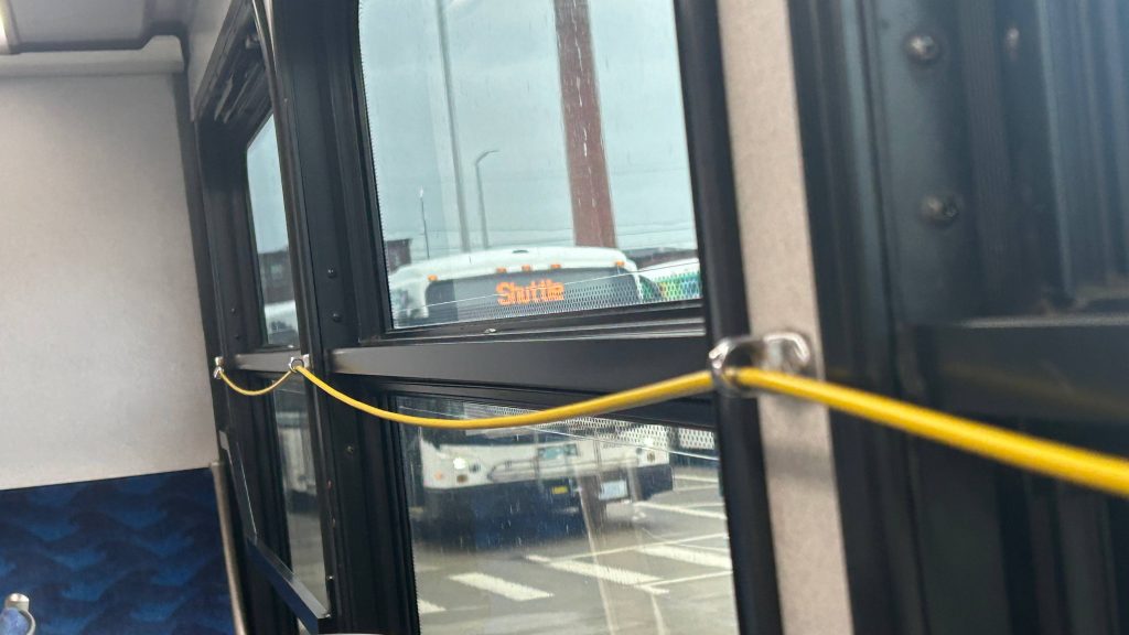
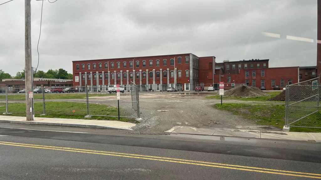
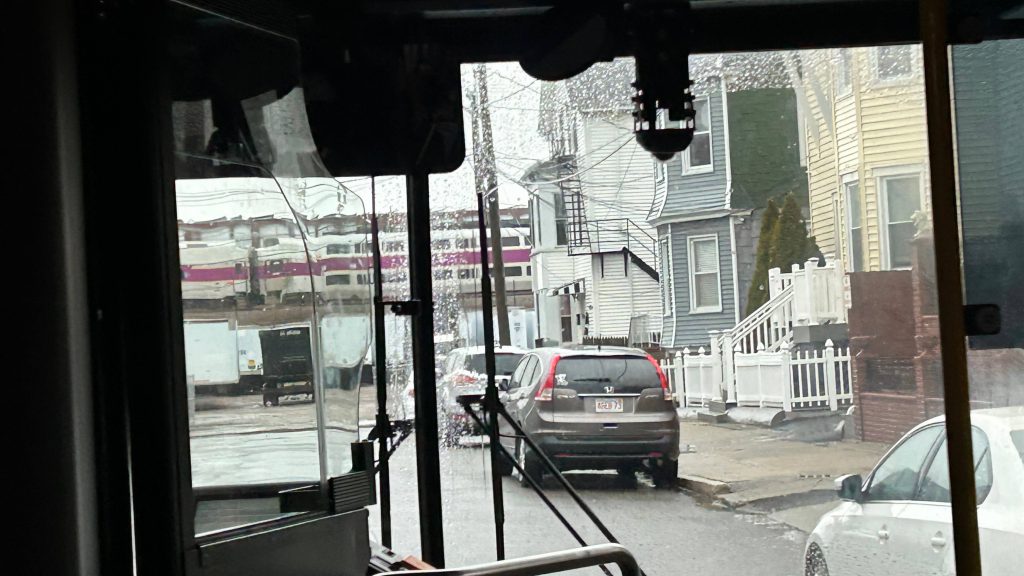
ShuttleBye to the train station!First stop: Exchange & BroadNext stop: Exchange & Main. Also, City Hall!Slater Mill and the dismantled Apex PyramidThe tailgating lot deviation!Defiance 1636!!!Division St. – last stop before the stadiumShe’s beautiful…Rather narrow side streetsEnd of the run at Ivan Perez Memorial ParkAnother bus!R-1636
The good: It’s very frequent and serves most of the lots, with the other unserved lots being a VERY short walk away (5 minutes max). It gets the job done, and pretty well at that (it’s also fare-free, so passengers who PROBABLY never rode RIPTA before don’t have to fiddle around for a $2 fare). Essentially, it has one job and it does that one job VERY, VERY WELL.
The bad: Inconsistent routing vs. the information published online. That’s probably my only real issue, but I’m sure this’ll be rectified as time progresses – as this is the first season of RIFC playing at Centreville Stadium.
Nearby points of interest: This one should be obvious. The outlying parking lots, the Commuter Rail station, the visitors center (& RIFC HQ), the stadium, and Apex/tailgating lot.
Overall, it has one job and it does that job very, VERY well. And, from what I can discern, it’s miles ahead of what RIPTA and the PawSox offered for game-day bus service back before, well, before the PawSox moved to Worcester (RIP).
Rating: 10/10
…there’s more, though.
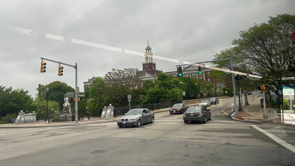
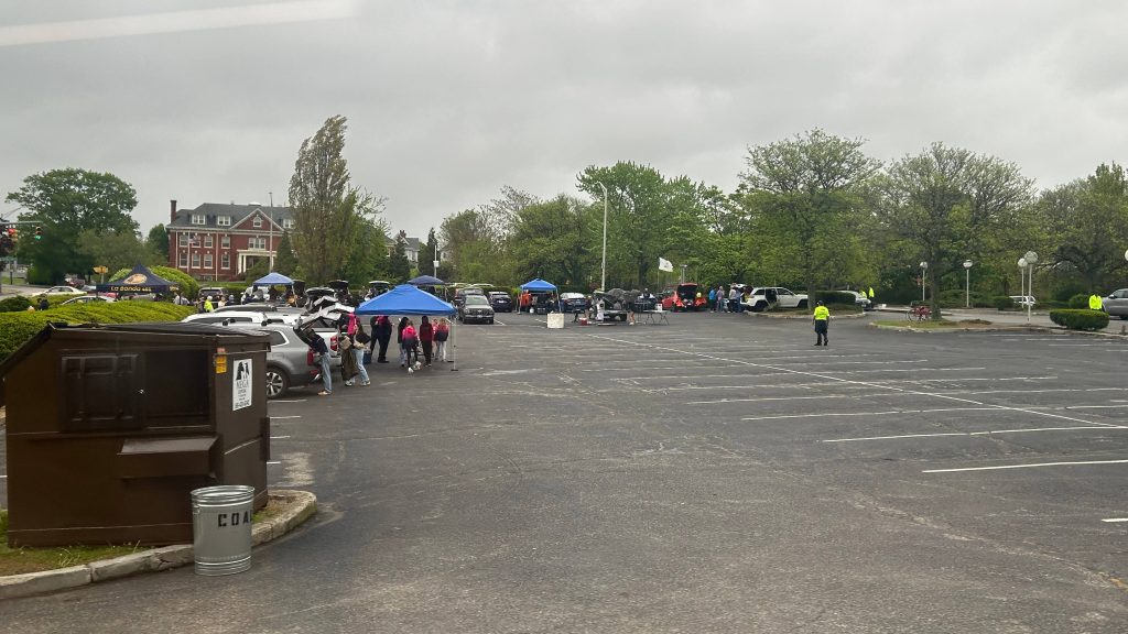
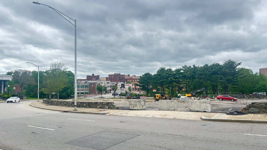
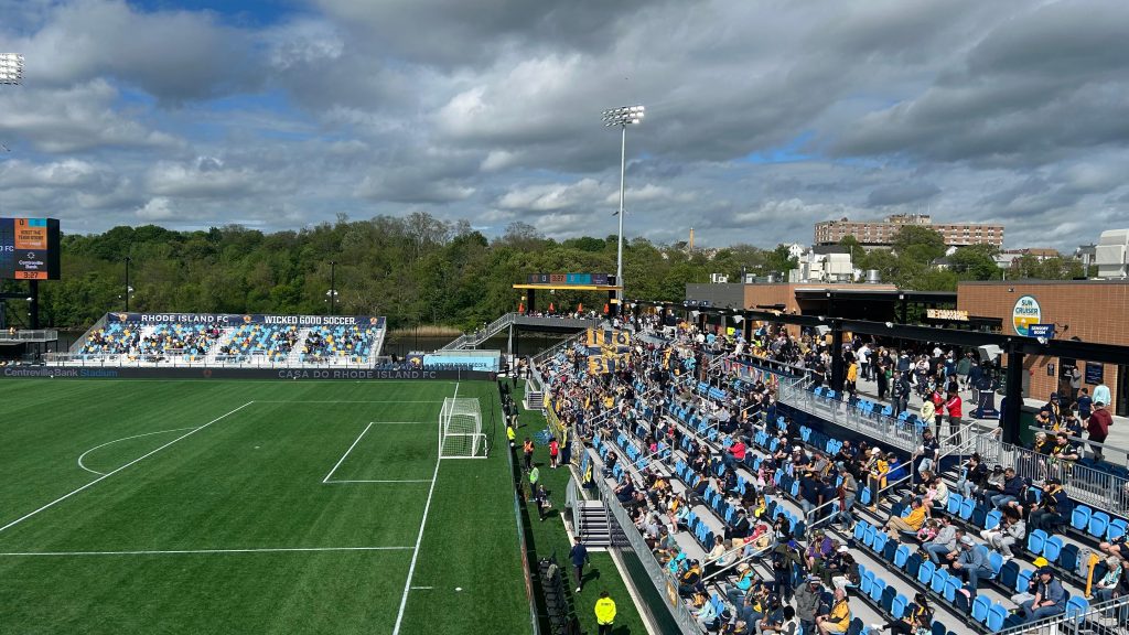
So, you thought that was the end? Well, not quite, actually. This day was actually a bit important, as I also had a bit of interest in giving soccer a chance and doing something new. After riding the route, I walked back to the tailgating lot and met up with the rather lovely (i mean this in a genuine manner) people from Defiance 1636. Of course, I knew some of them from the stadium open house a couple weeks prior, but I met up with them to partake in the tailgate, talked a bit, and the whole nine yards. Overall, they’re legitimately among the most welcoming people I’ve ever met. Now, I just thought from here, it’d be off to the races once the tailgate started being dismantled at 3ish PM. Whelp, I could not be any further from the truth – and perhaps, it might be good that I was no further from the truth. So, we’re all getting ready for the march to the match, and one of the ladies just……outright asked me if I wanted to help with holding a banner (it was VERY windy). And, I said “sure, why not?” And away we went, while sticking to the sidewalk. One left turn to Taft St. later, and we had free reign of the entire road with a police escort. And, on the megaphone…
R.I.!
F.C.!!!
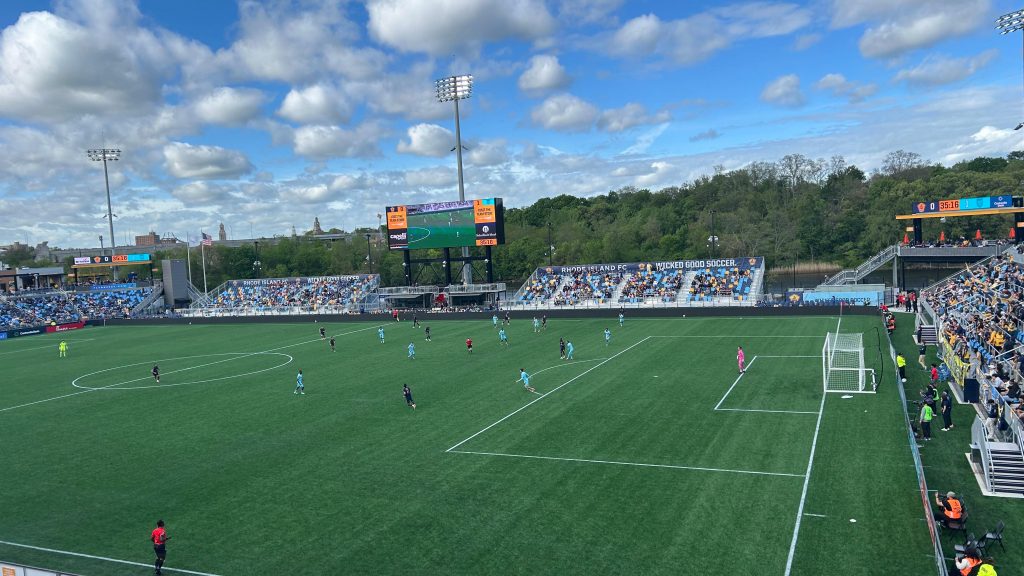
Cue that and a few supporter group chants for the half-mile walk to the stadium, along with trainhorns, then we clear security, and we continued on (albeit without the megaphone) with drums beating towards the supporters section (sections 115-117 at Centreville Stadium). It…..was AMAZING. Would I partake in it again? UHHH, YES! Seriously, shoutout to Defiance 1636 for being very welcoming and also adding to the pregame atmosphere. Of course, from here, it was off to the concessions to pick up, well, concessions ($1 hotdogs?!), and to my seat in section 211. So, I made myself comfortable, enjoyed the game, realized that I……might be an unhinged soccer fan(?!), and ultimately enjoyed and cheered for RIFC, as the game ultimately ended in a 1-1 draw. Damn.
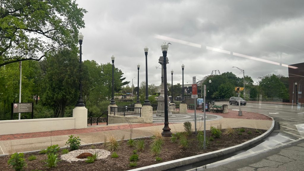
Centreville Bank, AND CHIP?!WHAT’LL IT BE?! GRASS?! OR TURF?!The Seekonk River and Defiance 1636!Didn’t get any photos after this, but the score was 0-1 until about….77 minutes in.
Overall, it was a very good time (hence the lack of photos, I was genuinely enjoying it), and I’d strongly recommend you (the reader) go to a pro soccer game at least once in your life. If nothing else, at least just once. Because, holy SHIT, was it a glorious time.
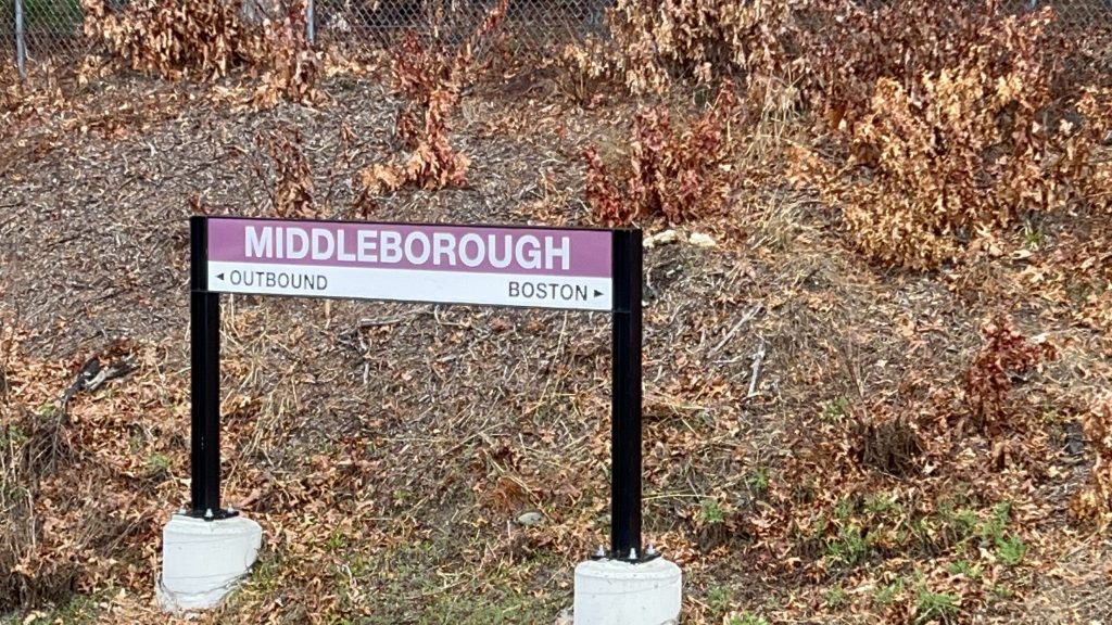
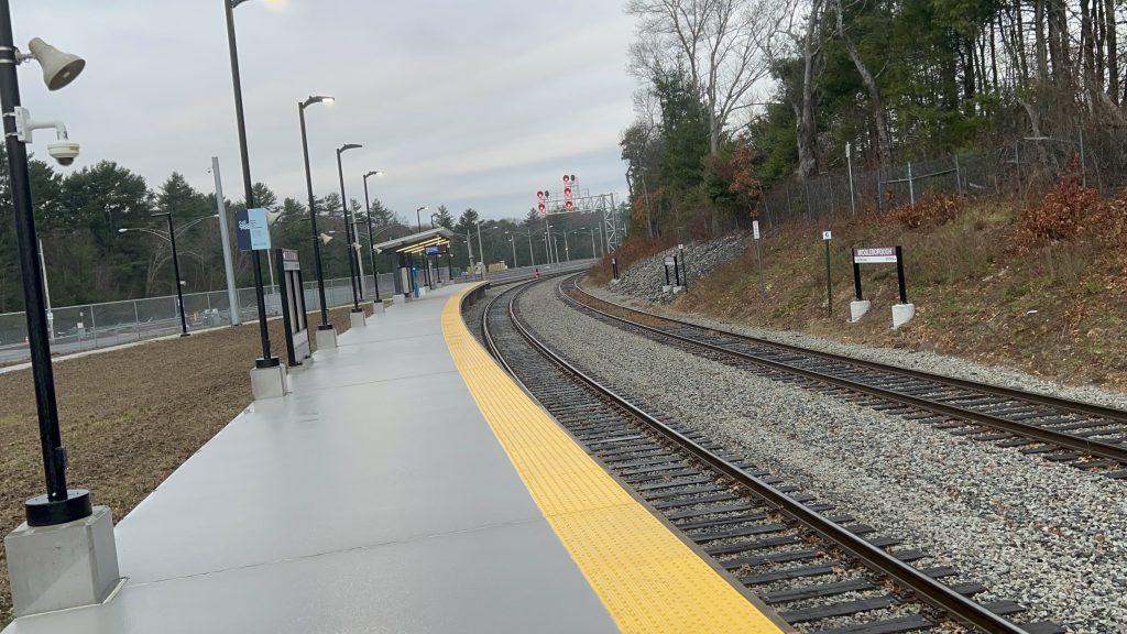
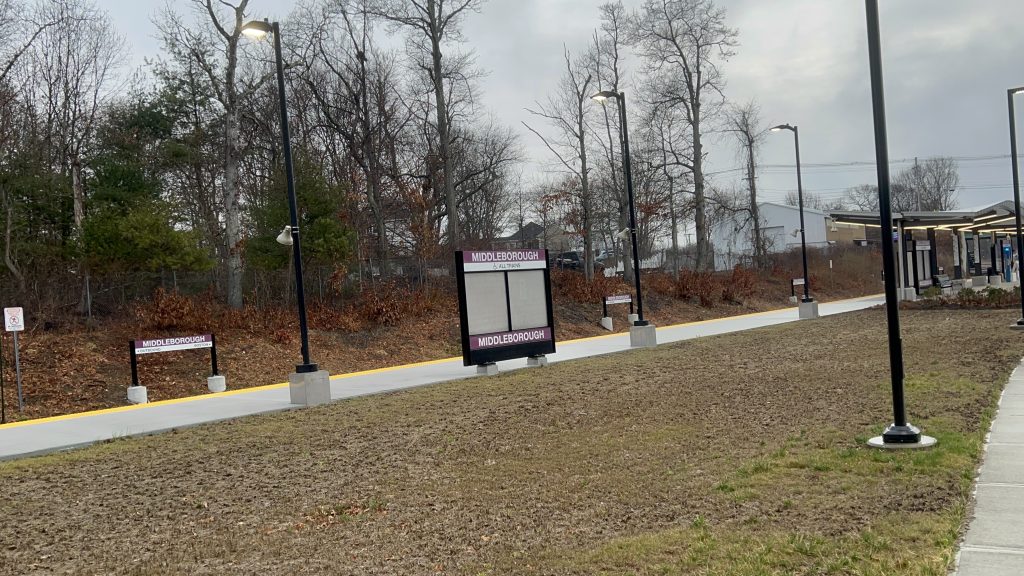
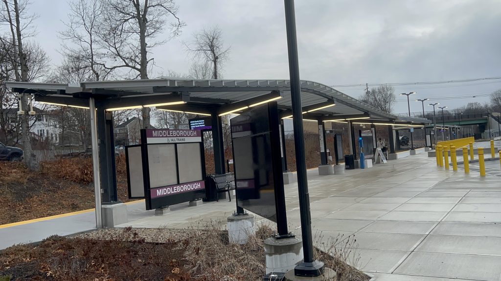
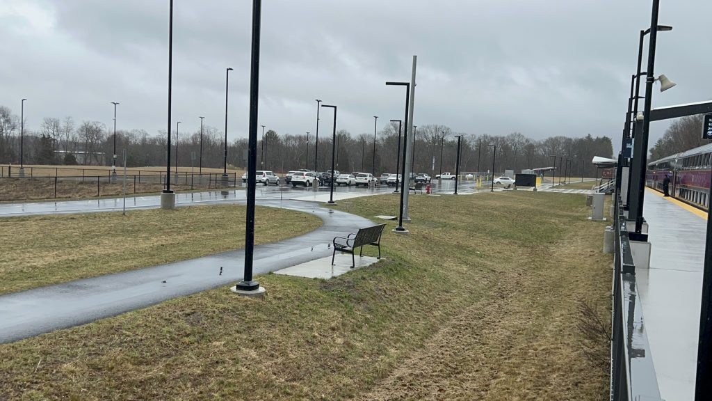
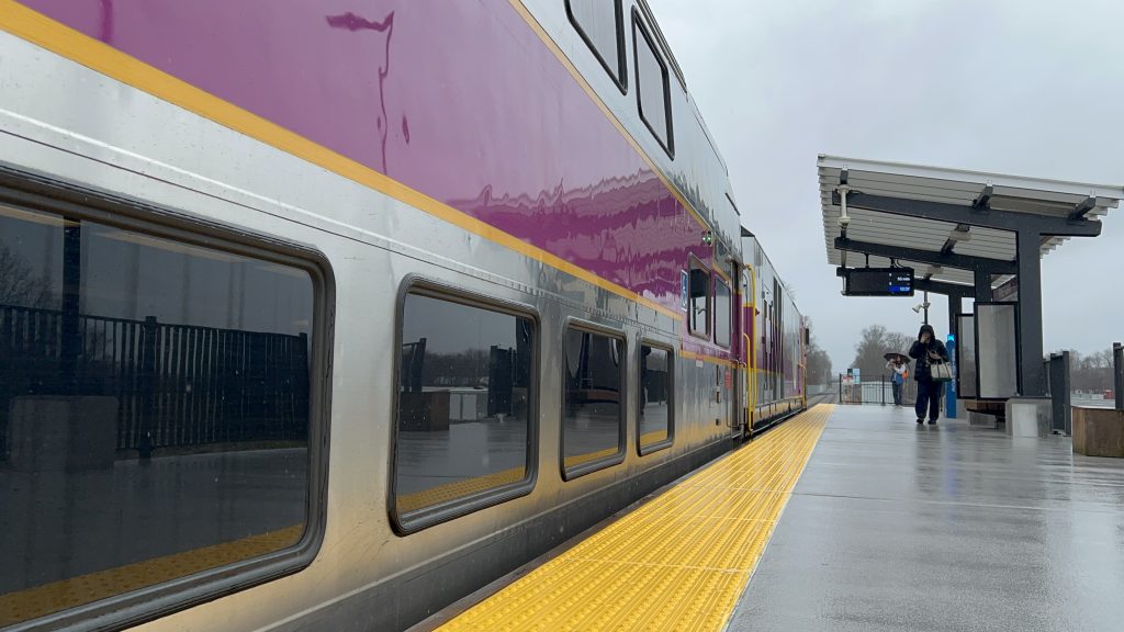
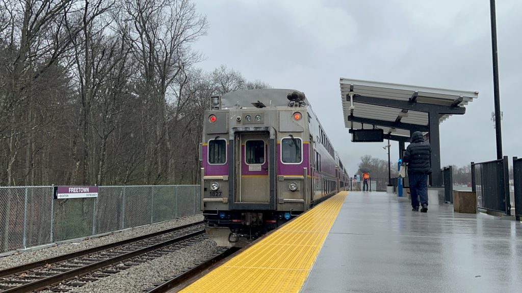
Wait, didn’t I already do this? Oh, OH…..that was the station now named Lakeville! Okay. Well, here’s new Middleborough, opened as part of the South Coast extension. Well, I guess duty calls. With that, here’s …the last T station I have to cover on this blog. Let’s go.
Station signage!
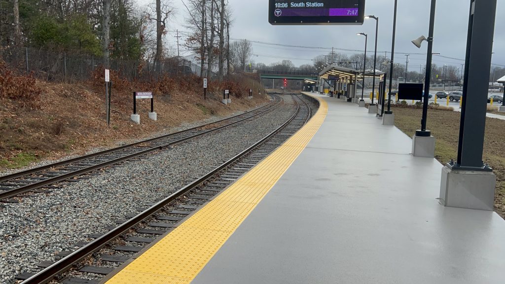
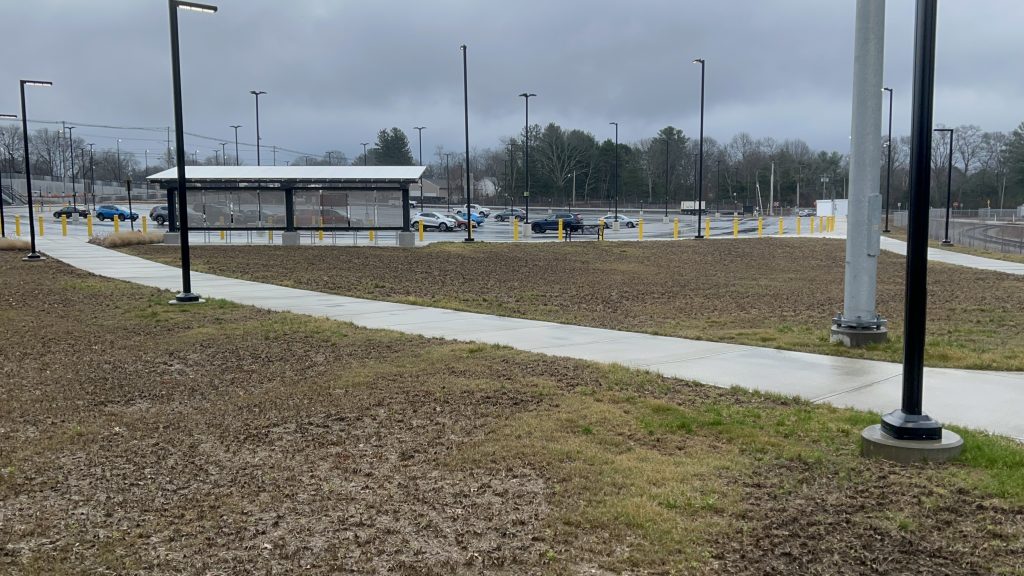
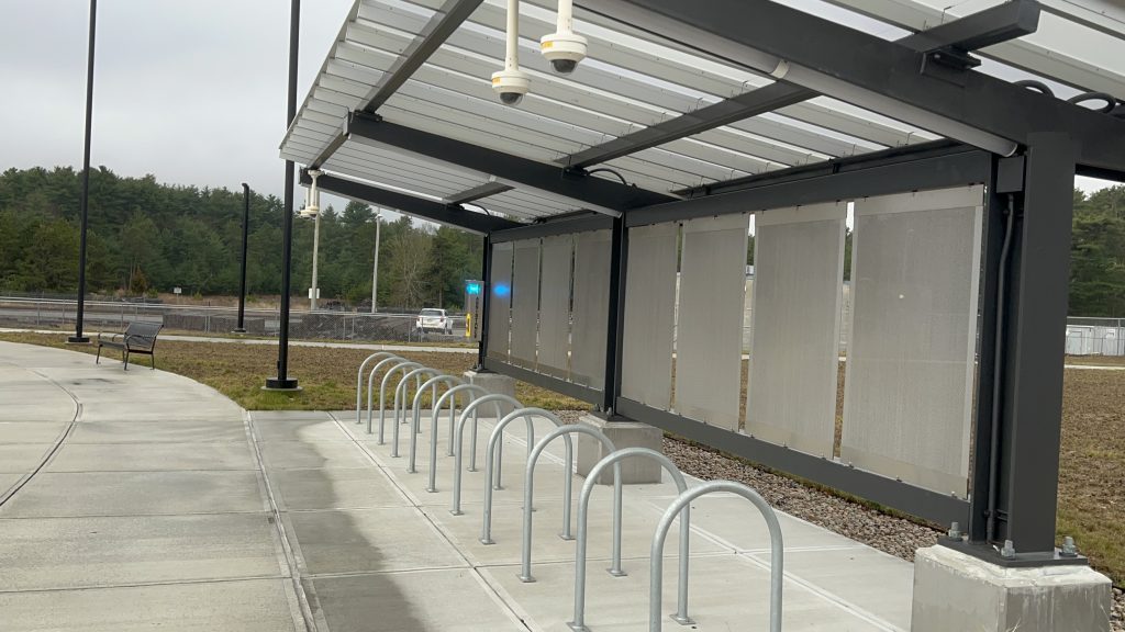
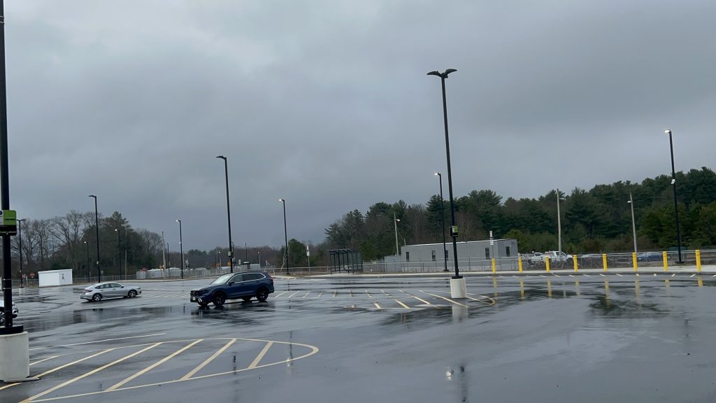
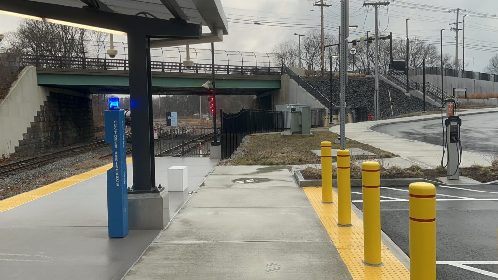
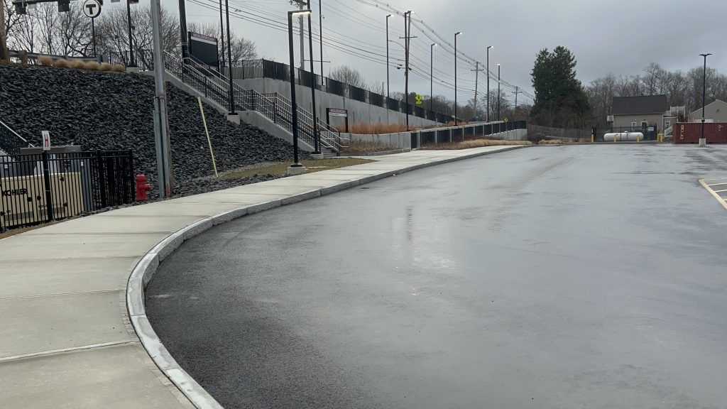
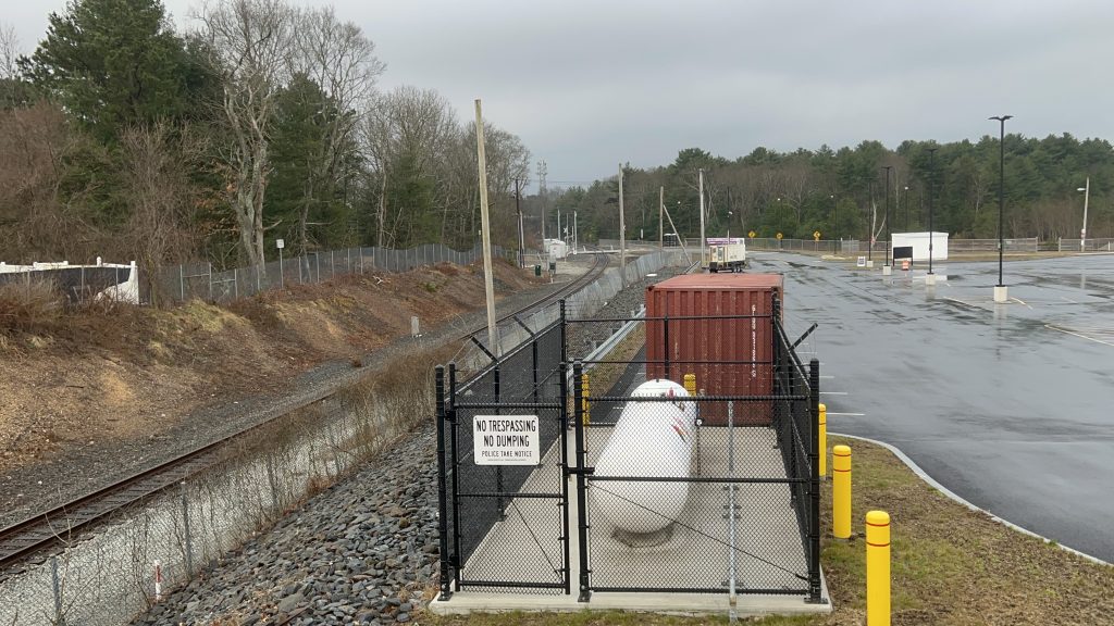
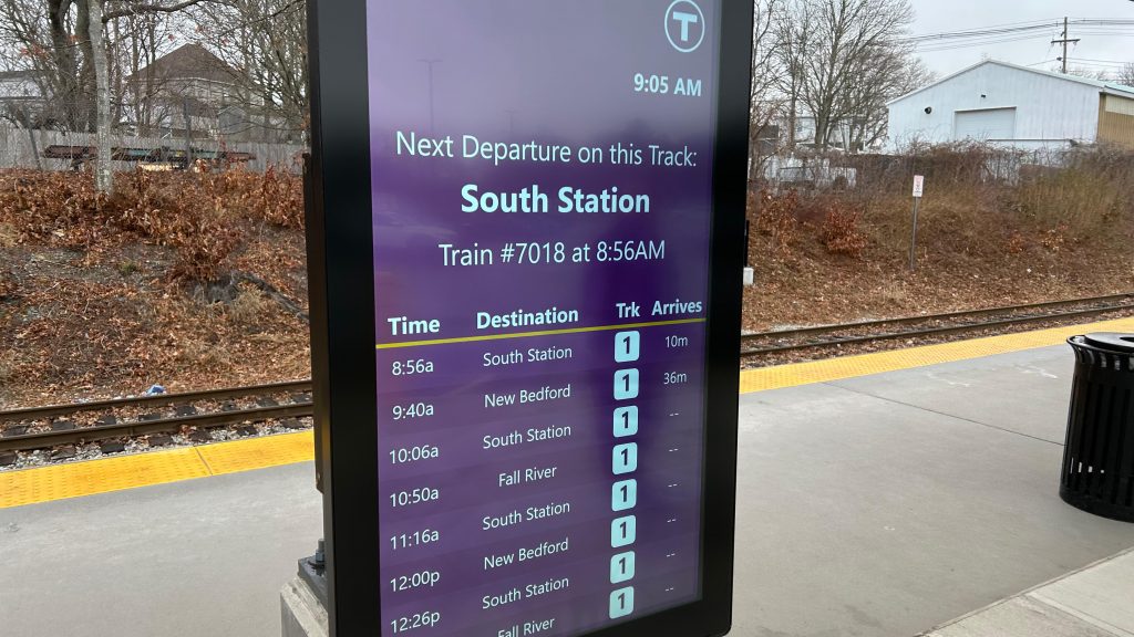
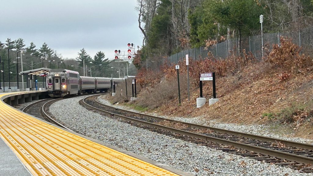
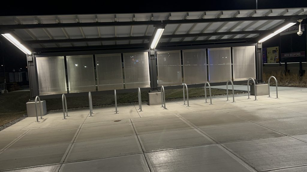
The station configuration is pretty standard, with a singular side platform and 2 tracks, one used for freight movements. There’s a shelter at various spots along the platform, a departure board, another more modern board at the station entrance, ramps from West Grove St., a pedestrian path to a nearby side street, a sizeable parking lot which can get filled up VERY QUICKLY. GATRA also has a bus stop here, but the connection is rather bad. The platform itself is level, expected, and there’s also benches and whatnot. I don’t remember if they’re hostile or not. As for the station walkshed, unlike Lakeville, it’s actually pretty good, all things considered. I mean, yeah, it’s still a mile walk to Middleborough Center, but that’s A LOT BETTER than the alternative. Overall though, for a suburban station that’s pretty far from Boston, it’s not that bad!
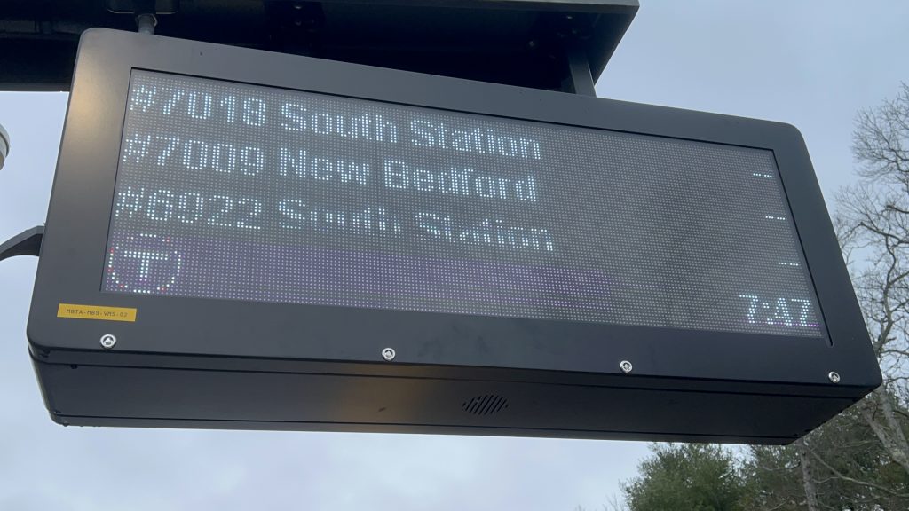
Departure board!The old layover facilityOH NO – HOSTILE BENCH!Towards BostonTowards the Cotley wye, Fall River, and New BedfordAnother shot of the layover facilityParkingSignageShelter!BICYCLE RACKS!Parking lot and cloudsWest Grove St.!Kiss n’ ride!The mainline to HyannisMy train back was delayed greatly. 🙁GET ME OUTTA HERE
The good: It’s pretty close to Middleborough Center! The walkshed’s actually REALLY good, all things considered. It’s also intended primarily as the I-495 parking sink, and the amount of parking roughly parallels Lakeville (& really, there’s not much you can do with extra space if the station is in a wye). Furthermore, it’s got your usual modern-day station affairs and whatnot.
The bad: Really, I can’t think of many bad things. I guess the fact it’s got one platform when there REALLY SHOULD BE TWO is bad, ops-wise. Eww.
Nearby points of interest: Middleborough Center is a mile away!
Transit connections: Commuter Rail (Fall River, New Bedford) GATRA (Link 4, Downtown Middleborough Shuttle)
Overall, in terms of location, this is probably one of the best non-downtown stations on the entire system. It’s suburban in nature, yes it’s a park & ride, but it’s also not that bad for pedestrian access, all things considered. Could it be better? Of course. But, at least an attempt was made to accommodate pedestrian access from the nearby neighborhoods.
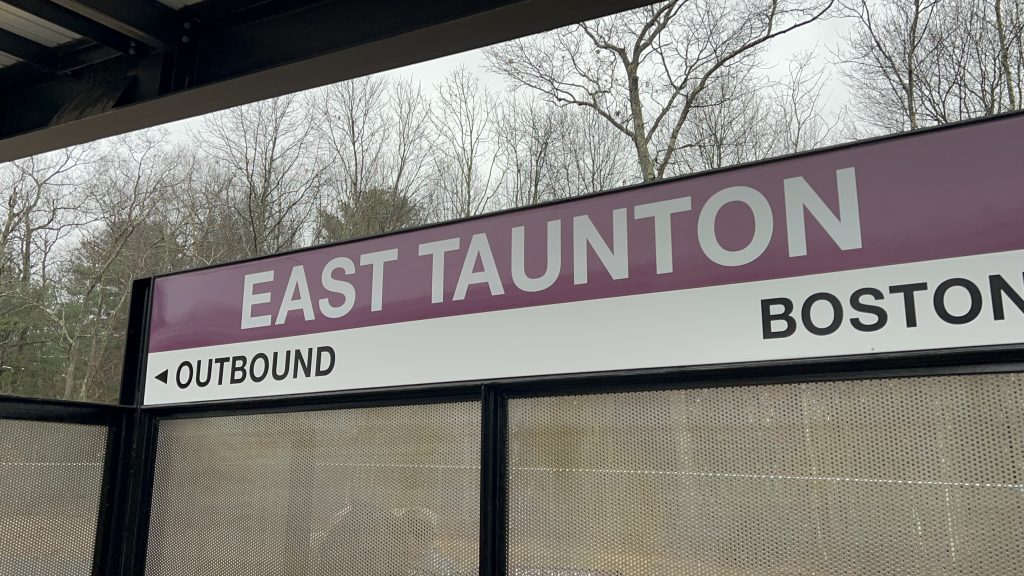
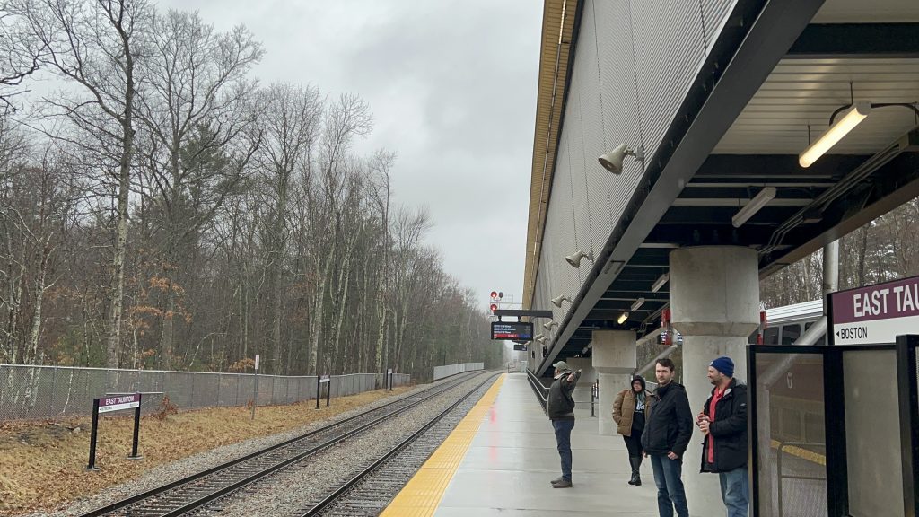
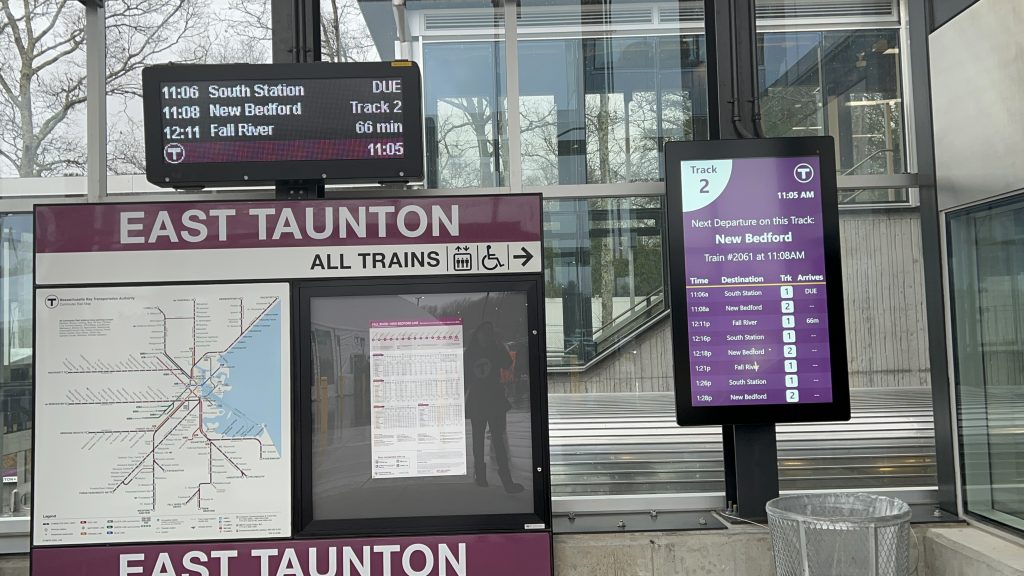
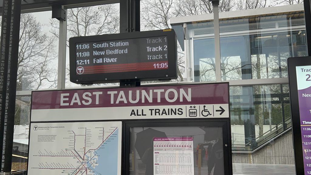
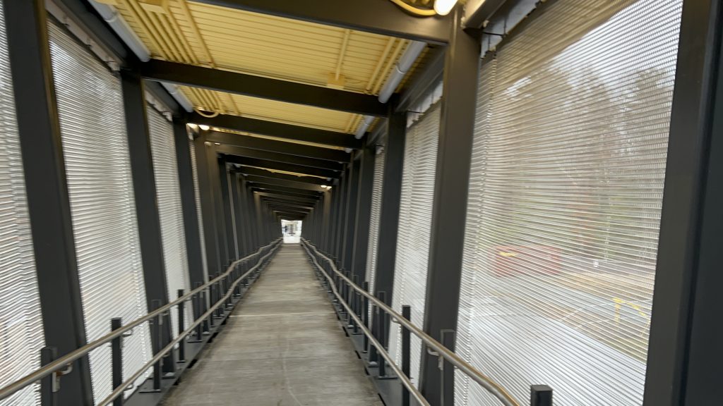
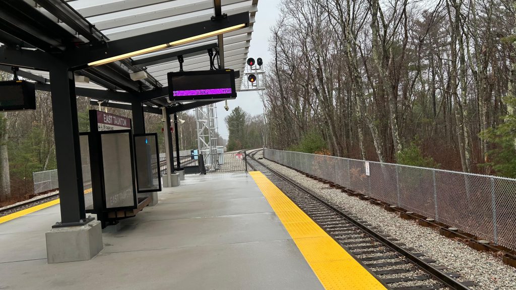
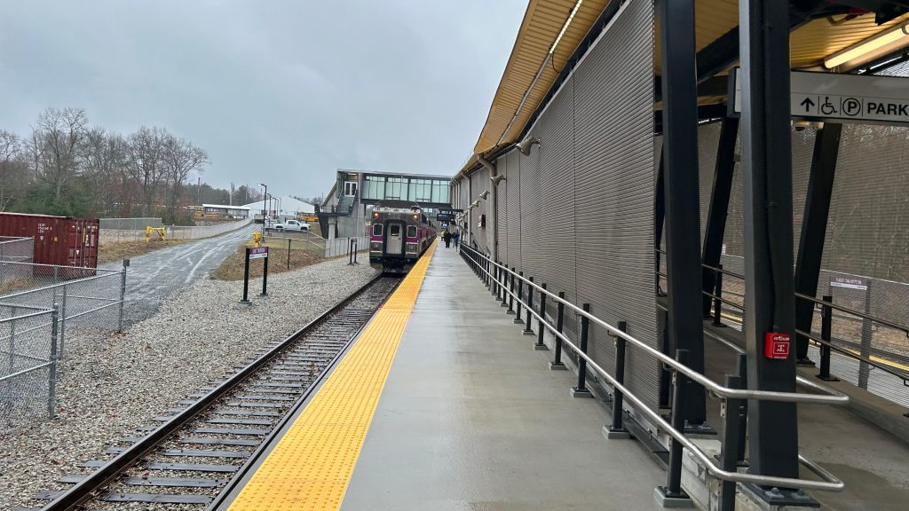
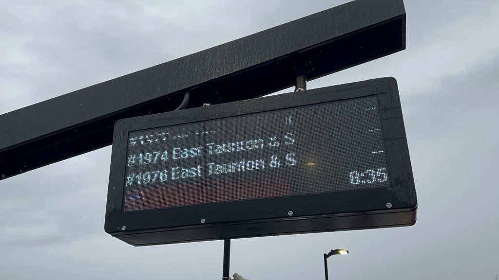
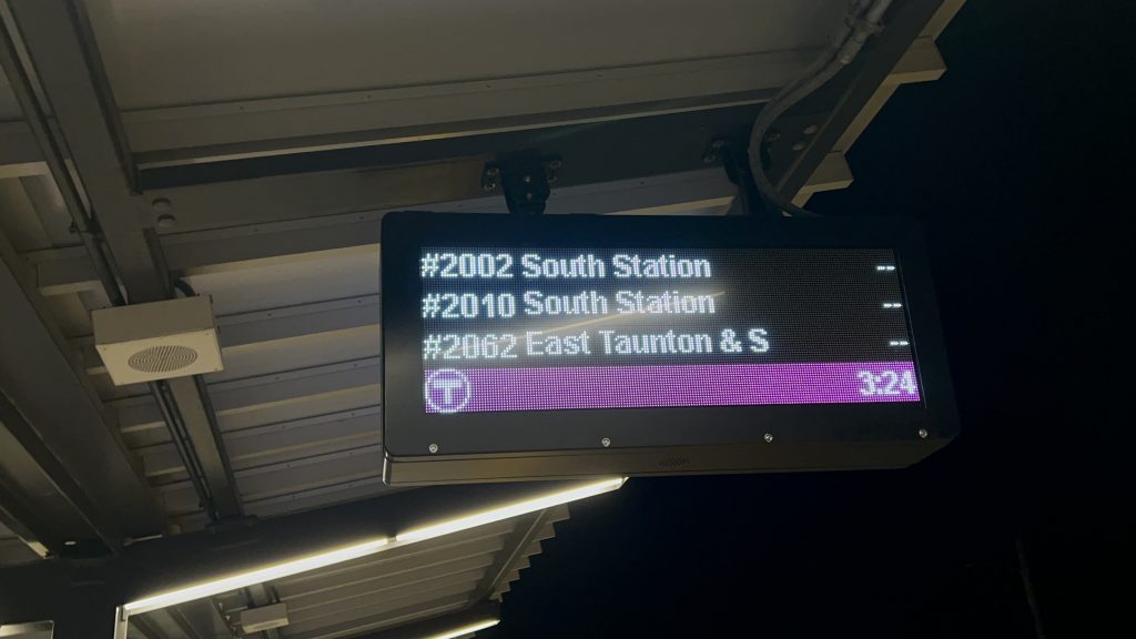
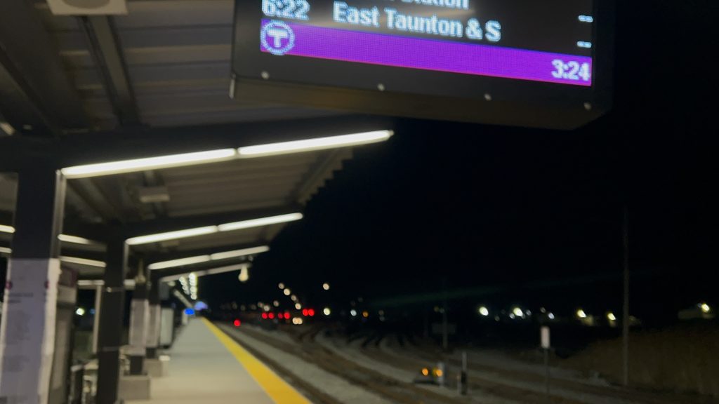
East Taunton is a pretty important station on South Coast Rail. In fact, it’s important enough to be given an island platform rather than a side. Things can also get a little congested as well… Nevertheless, here’s East Taunton!
Signage!
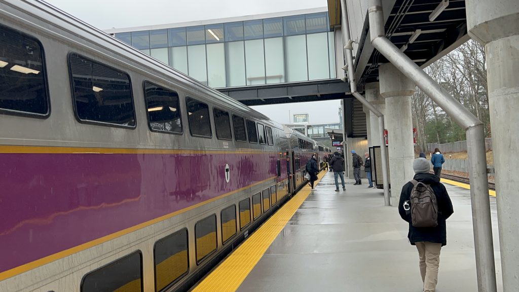
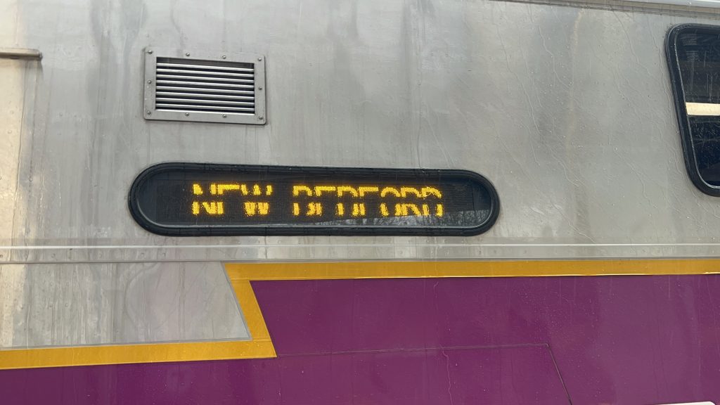
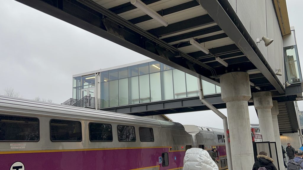
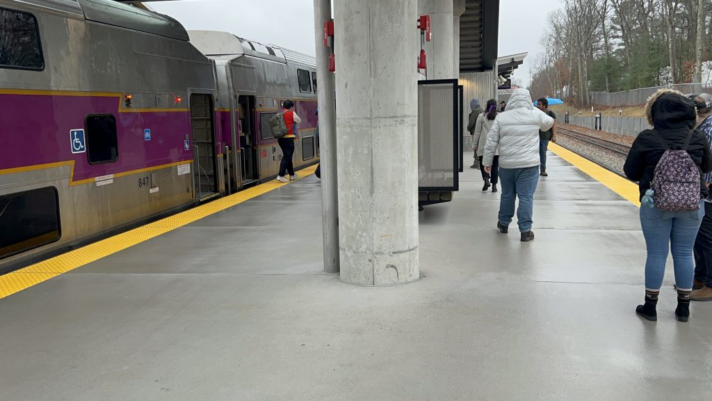
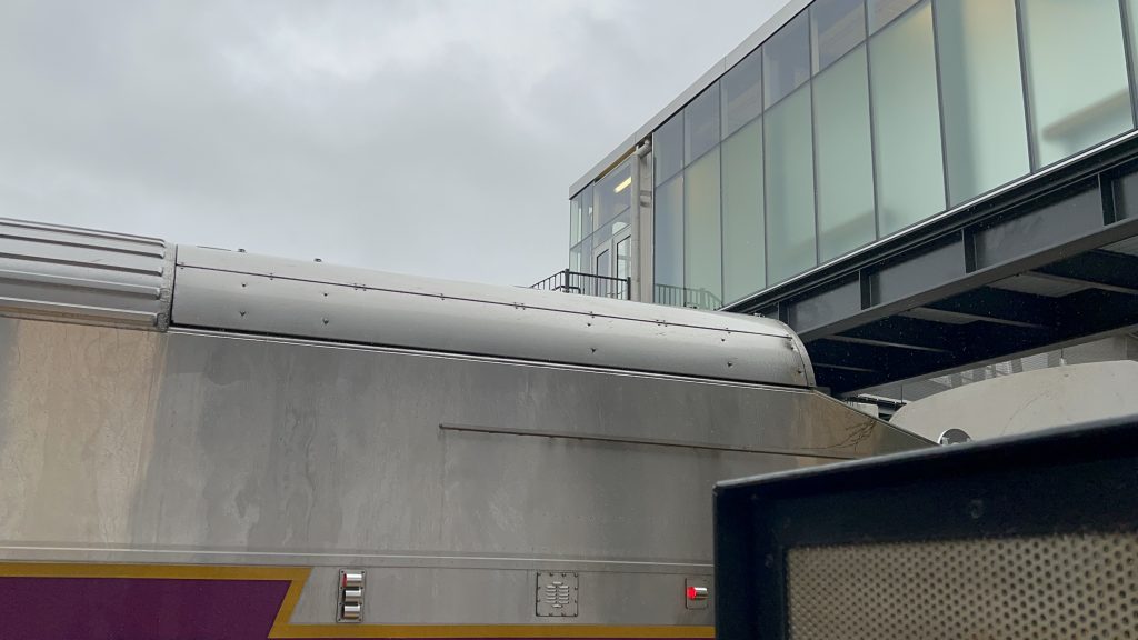
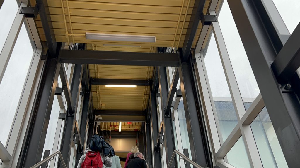
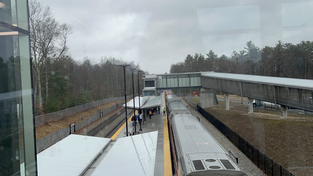
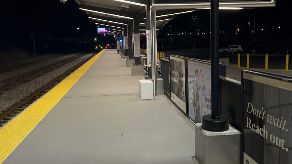
The station is a relatively simple island configuration with 2 tracks given access. Track 1 is typically utilized for through trains to Boston, while track 2 is typically used for shuttles between the two outbound termini that terminate here. As for the platform setup, it’s pretty standard with benches and departure boards. You have a ramp, elevators, and stairs heading up to the various bridges. Hell, the OVERPASSES even have departure boards. That’s actually very helpful. As for the parking situation, there’s a lot of parking and it’s clear that this is intended to be the main Rt.24 park and ride station. As for things nearby, you don’t have a lot. Across the tracks down County St., you have a GATRA bus connection about a mile away, with a Target, Ocean State Job Lot, and Home Depot among other things. Yeah, not a lot around here annoyingly. You can, however, get some cool shots of trains making the curve at the Cotley wye, though!
Train!Turning as an outbound shuttle to New Bedford!Overpass!Towards Boston and the Cotley wye!pole.SEYMOUR, THE BRIDGE IS ON FIRE?Stairs!HOSTILE BENCHESYou can’t look out these 🙁Chain of dreamsRamp to the lotThe north ramp and elevatoraww how adorableThe parking lot during the press conference!There were shitters behind the poleThe other overpassThis is actually very helpful!Rainy overpass shotSlightly drier overpass shotRaaaaaaaaaaaaaaaampAbsolute stop on 2, Cotley wyeThe trainThe press conference. Hi, Evan!
The good: It’s a park and ride for Rt.24! Furthermore, the existence of the station is expected to spur development of the surrounding land, if the political stuff Taunton’s mayor spat out during the presser on opening day is to go by. It’s also got two tracks and is otherwise your standard affair modern-day fully accessible Commuter Rail station.
The bad: GATRA service is shit and sucks. YOU HAVE TO CALL BY 3:30 PM THE PREVIOUS DAY TO USE THE WEIRDASS SERVICE. The area is in the middle of nowhere. It’s undeveloped. Silver City Galleria is gone. The nearest thing of interest (Target) is about a mile away on foot. This area can also get VERY CONGESTED VERY QUICKLY WITH TRAIN TRAFFIC.
Nearby points of interest: Not a lot. You have a shopping center with Target and OSJL nearby, kinda? It’s a mile walk though, so that’s stretching it…
Transit connections: Commuter Rail (Fall River, New Bedford) GATRA (“Temporary Commuter Service To The East Taunton Station”)
Overall, while the station isn’t bad, it does have some questionable qualities and it being good in the future is on political will mainly. Also, GATRA, just fucking extend the 8. And, MBTA, double track the entire fucking line. PLEASE.
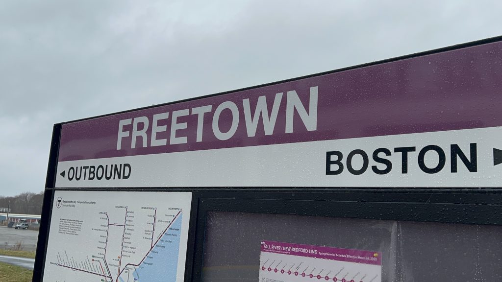
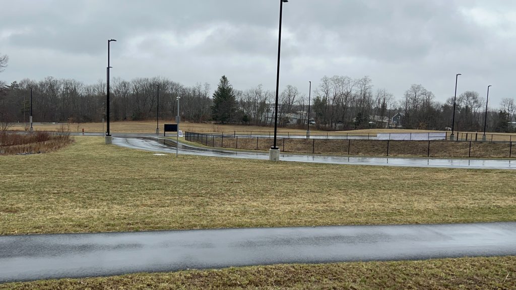
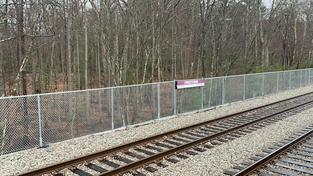
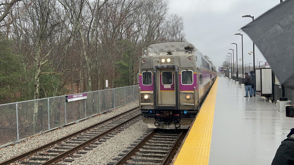
Freetown, at face value, may as well be the modern-day take on a “cute little neighborhood station”. But, is it? No. It’s got all the important stuff a station needs, a lot of undeveloped land around it, and is right off Route 24. Unfortunately…..that doesn’t play favorably into this station…
Signage!
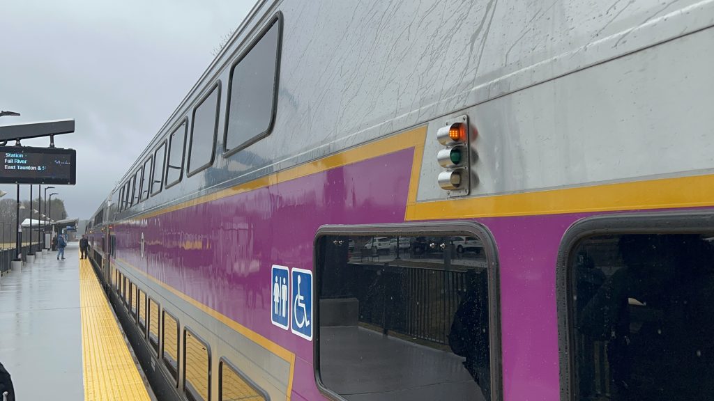
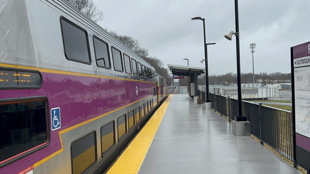
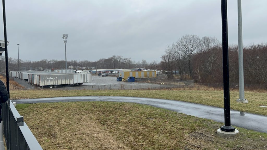
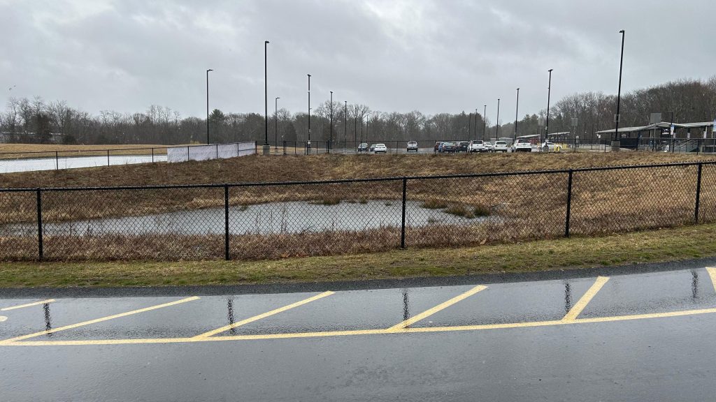
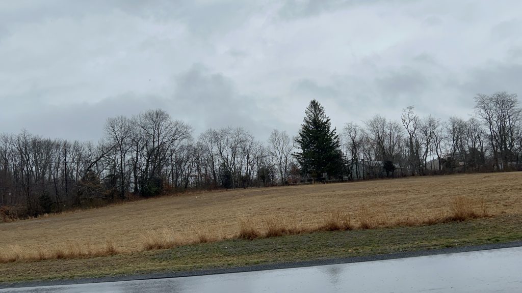
The platform, much like the other South Coast stations, is a fully-level 800ft affair, with shelters, ramps, departure boards, and surprisingly little parking. Yeah, while Fall River’s lot was small because it has a weird footprint and is near downtown, Freetown’s is just small …seemingly for the sake of being small. But, it exists! Furthermore, you have not a lot in the station’s walkshed. Mostly, it’s houses – however, Stop & Shop has a distribution center across the street from here! Neat! There’s some cycling infrastructure here, too – however I use the term loosely as it’s just painting indicating you could cycle on the road. Yeah, not a lot to say about Freetown. The land use kinda sucks.
trainI spy an HSP…Schedule plaqueGah, so much land…That’s it for parking?TRAINSee ya!Freight siding?!Trees galoreA storage facility of some kindA footpath and Jules…Another parking lot shotWater feature!BUILD A DUNKS HERE!GET US OUTTA HERE!!!
The good: It exists! It also serves the Stop & Shop DC. It’s also accessible.
The bad: WHY DOESN’T THIS HAVE MICROTRANSIT, SRTA?! LEGIT, THIS IS THE ONE PART WHERE MICROTRANSIT DOES MAKE SENSE – WHAT THE SHARTS?! JESUS FUCKING CHIRST. ALSO, THERE’S NOTHING OUT HERE – LEGITIMATLEY NOTHING. FREETOWN COULD REDEVELOP THIS AREA INTO A TOD DISTRICT OR SOMETHING!
Nearby points of interest: Just a Stop & Shop DC.
Transit connections: Commuter Rail (Fall River)
Overall, UPZONE, UPZONE, UPZONE!!!!! ALSO RUN MICROTRANSIT.
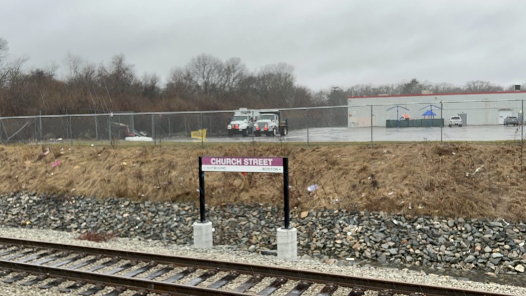
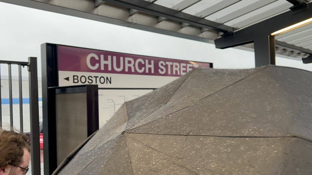
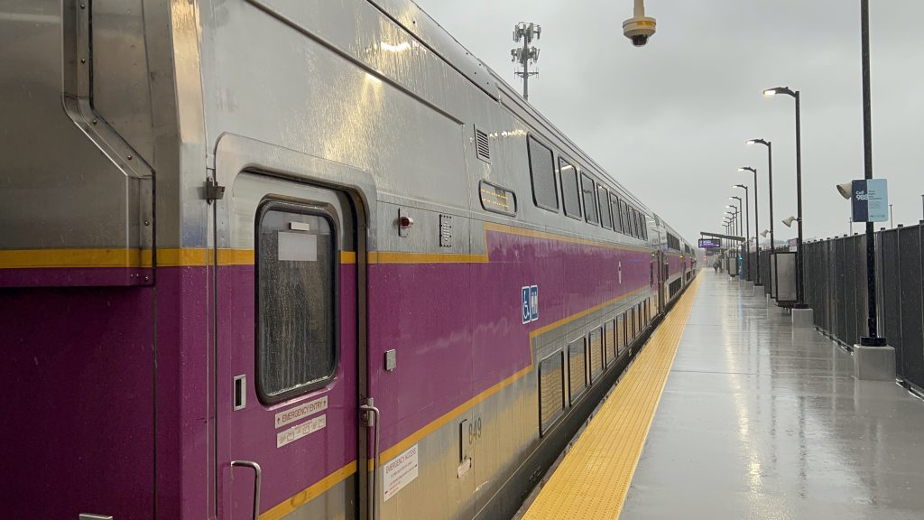
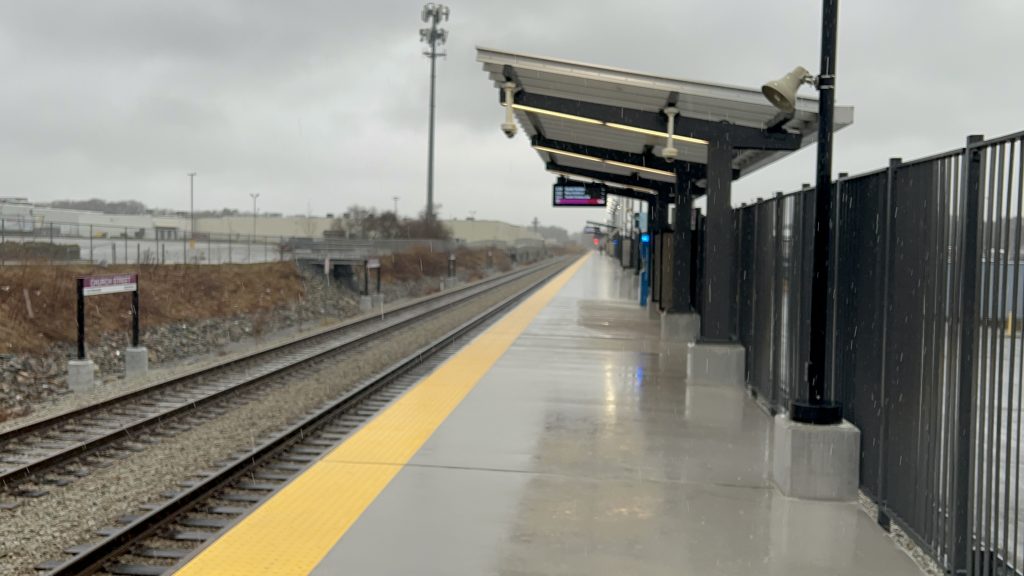
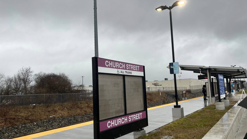
Church Street is the only station between the city’s waterfront and the split in service in Taunton. Is it any good? Well……..
Signage!
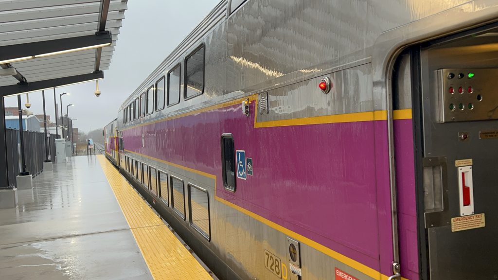
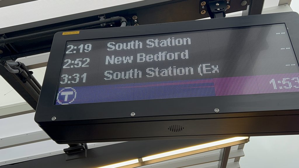
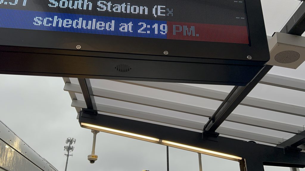
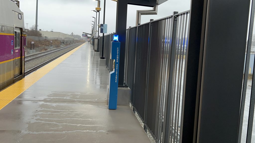
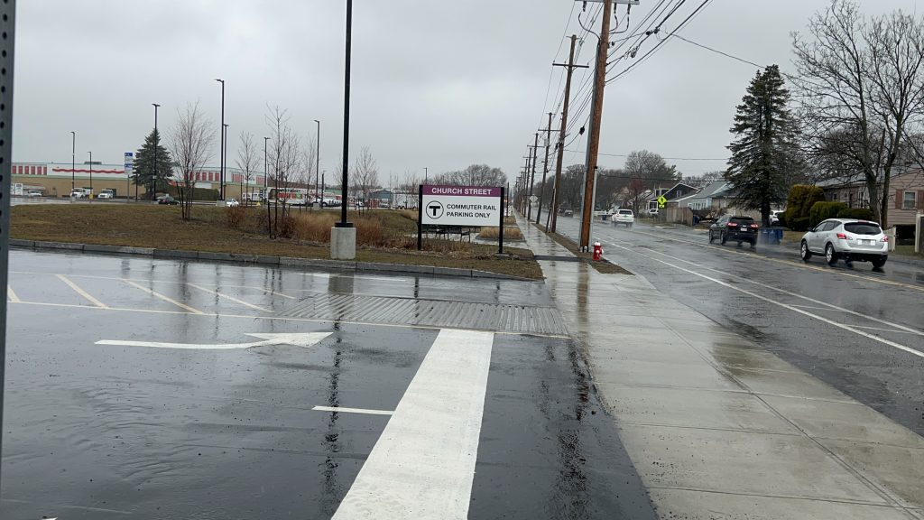
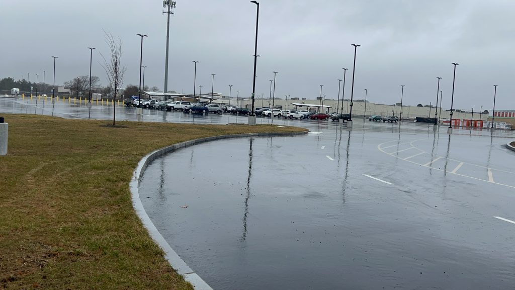
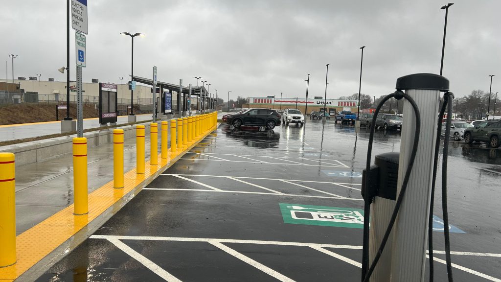
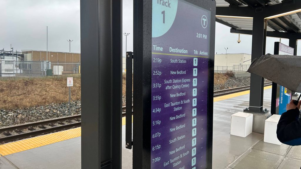
Church Street is located off, well, Church Street in New Bedford’s North End. Without any direct fixed-route bus service, it does have peak-hour microtransit connections. The parking lot is huge, intended to be a parking sink for Route 140 and a park & ride station for Acushnet, eastern Freetown, and Rochester. There’s also some houses nearby, as it is pretty suburban. There’s a transit-accessible U-HAUL next door, and across the tracks there’s a shopping plaza with a Saver’s, Dollar Tree, and even an Ollie’s Bargain Outlet! However, you can’t get across easily. As for the platform itself, it’s normal. Sheltered area, departure boards, benches, fully high level, ya know. It’s not bad. As for fixed route, the nearest SRTA stop is served by the 204 on Ashley Blvd., about a half-mile away.
TrainAn express train???Signage hiding behind an umbrellaShelter and beefy PA systemThe train – the other wayHELP!!!There’s somethingInto the pine barrens and towards BostonAnd the other way with an exit. Hi, Maz!Lowkey footpathIndustrious!THERE IS A PASSENGER INTERCOM CALL-Church Street itselfA uniform placeSINGLE FAMILY HOUSING!!!Parking lot signage!That’s A LOT of parkingEV parkingIt feels weird seeing a station named this way outside the Fairmount LineFancier departure boardSchool!This looks easily mistaken for a normal “no parking” signBUS connectionTrain!
The good: It’s a park & ride for the North End & surrounding communities (eastern Freetown, Acushnet, Rochester)! There’s also some housing nearby so people can conceivably walk here without it coming off as a stupid or dangerous idea. It’s also fully accessible and whatnot.
The bad: Neighborhood access to the other side of the tracks is kinda bad. Also, no bus connections outside peaky microtransit. The North End shuttle doesn’t even deviate here! That’s kinda shitty.
Nearby points of interest: TRANSIT-ACCESSIBLE U-HAUL YEAH BABY!!!! Lesbian jokes coming from a lesbian aside, you also have places like Ollie’s Bargain Outlet on the other side of the tracks. The area is also your normal suburban neighborhood otherwise.
Transit connections: Commuter Rail (New Bedford) SRTA (MicroConnector)
Overall, it’s not bad, but there are some noticeable problems that inhibit it from being a “great” station. At the least, improve neighborhood access to the other side of the tracks, and deviate the 204 here!
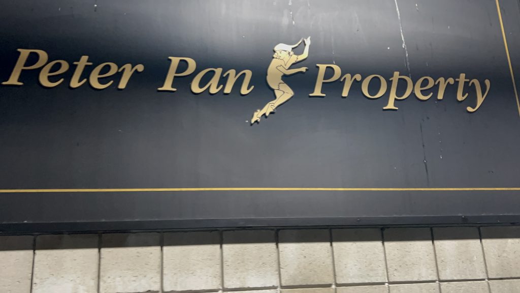
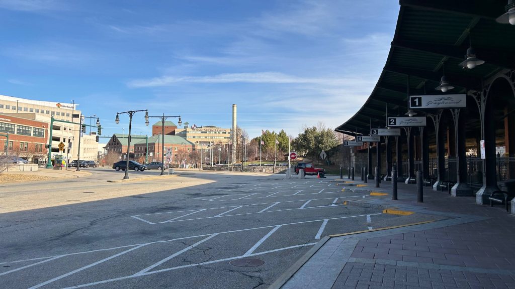
hehehehehehe y’all thought I wasn’t going to cover Peter Pan? Well, here we go. To popular demand, here’s the Peter Pan terminal in Providence.
Oh golly
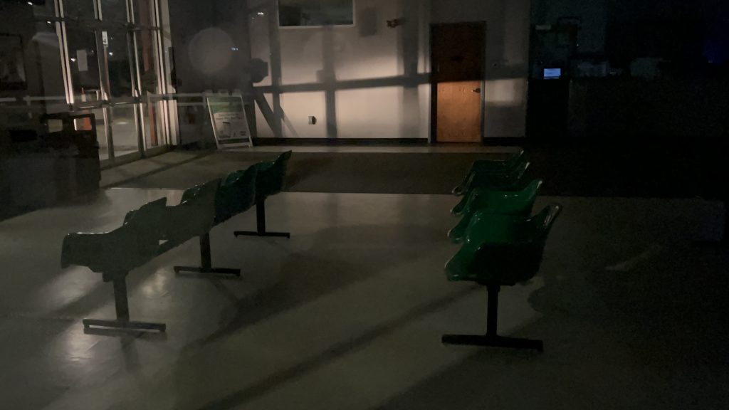
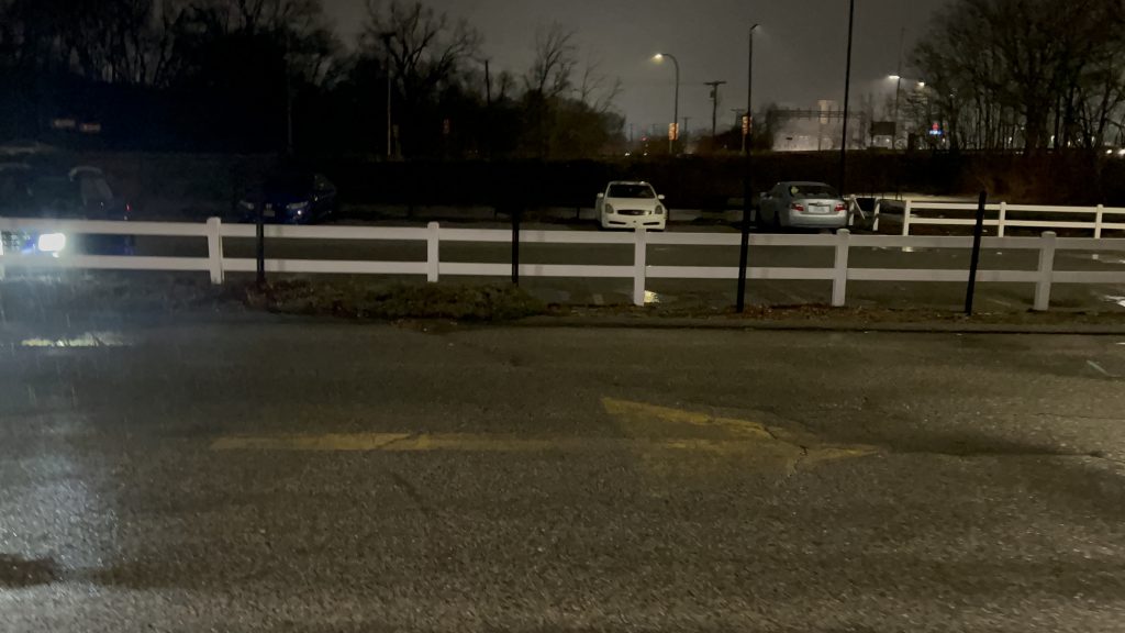
So, the terminal isn’t conducive to anything given this is privately-owned. The place was closed when I was here, but this was the only opportunity for me to review this. There’s a waiting room, bathrooms, a ticketing counter, and the usual stuff. There’s also several bus bays and a decent amount of parking. Overall, it’s okay.
Bus.The barren waiting roomParkingDamn, not even past the last bus’s arrival?Sheltered area and parkingA cafe?
The good: It exists, I guess. It’s Peter Pan’s main base of operation in RI.
The bad: It’s kinda isolated from the rest of RI’s transit network. The walk to the nearest bus stop (an R Line stop) is about 10 minutes – half a mile. It’s also not in the most inviting location, and feels kinda sketchy at night, to be quite honest.
Nearby points of interest: Providence. The R Line is right there.
Transit connections: Peter Pan
Overall, I think I have seen better. The station is kinda sketchy-feeling at night, and while Peter Pan itself isn’t the worst, I’d rather take RIPTA and the Commuter Rail any day if I can help it.
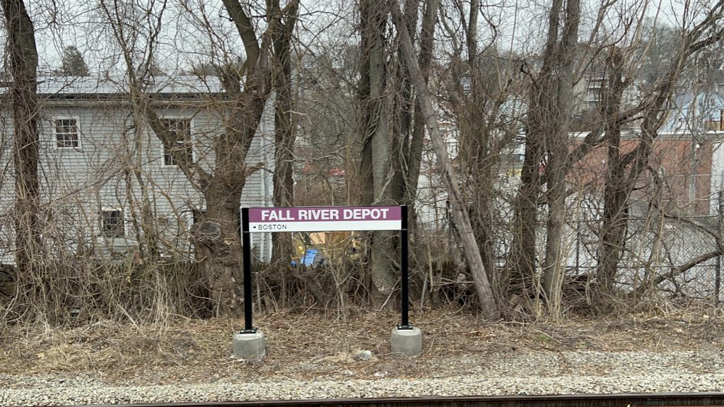
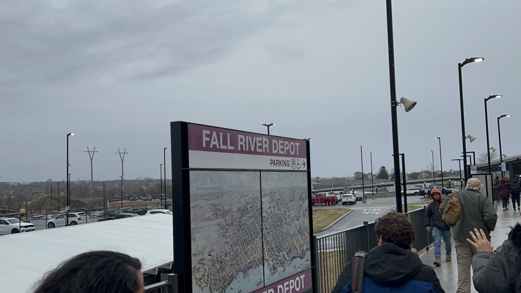
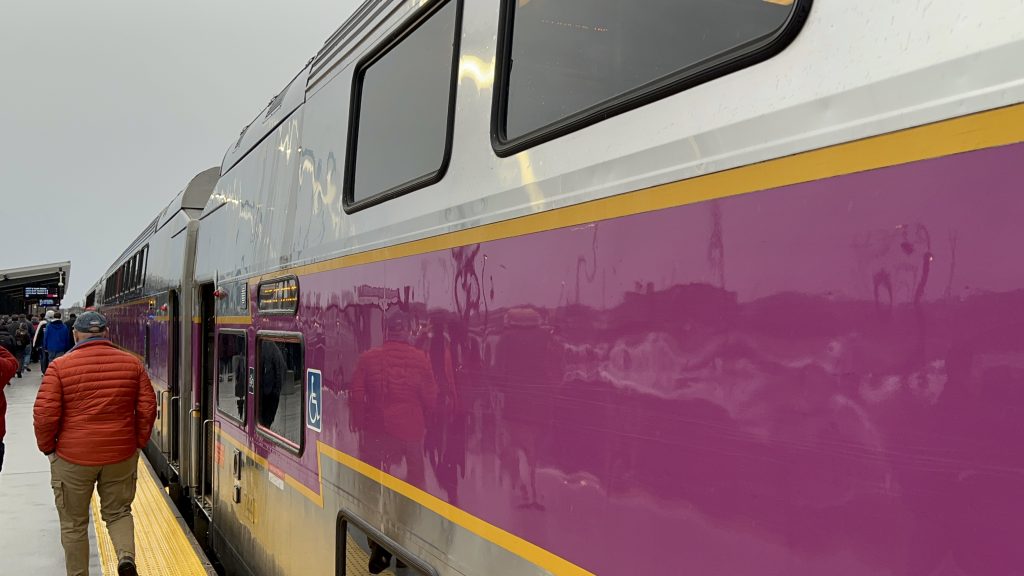
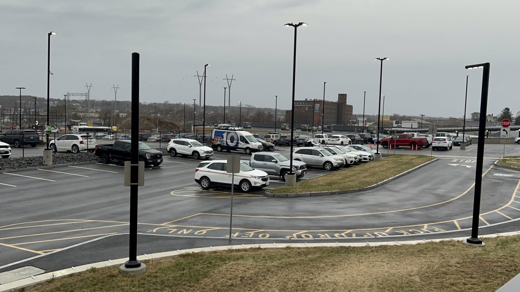
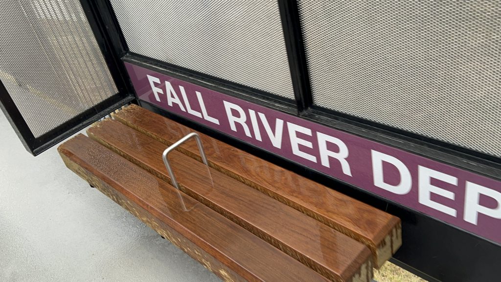
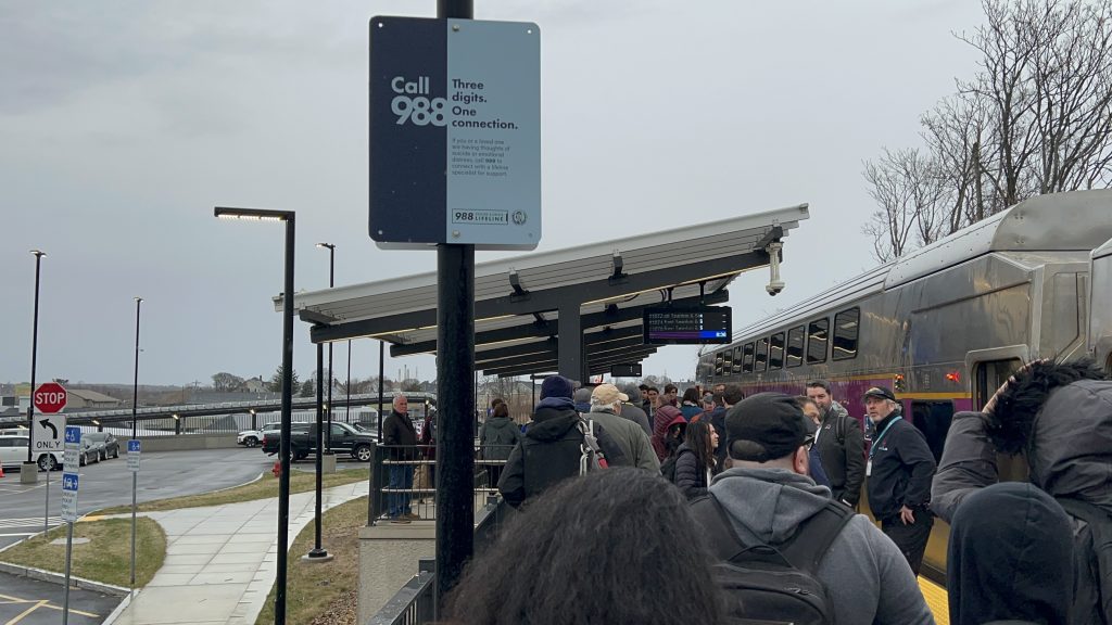
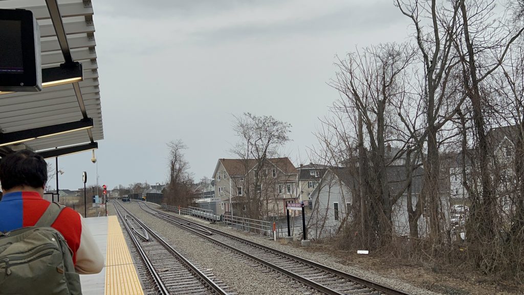
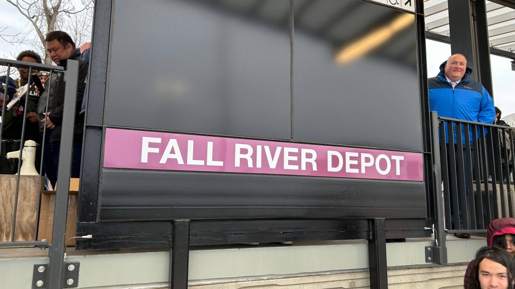
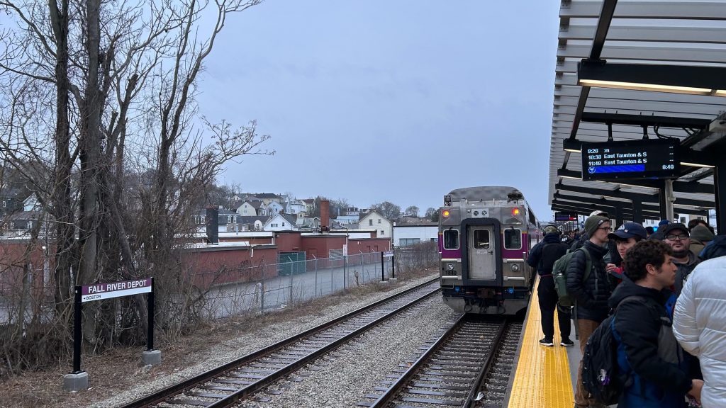
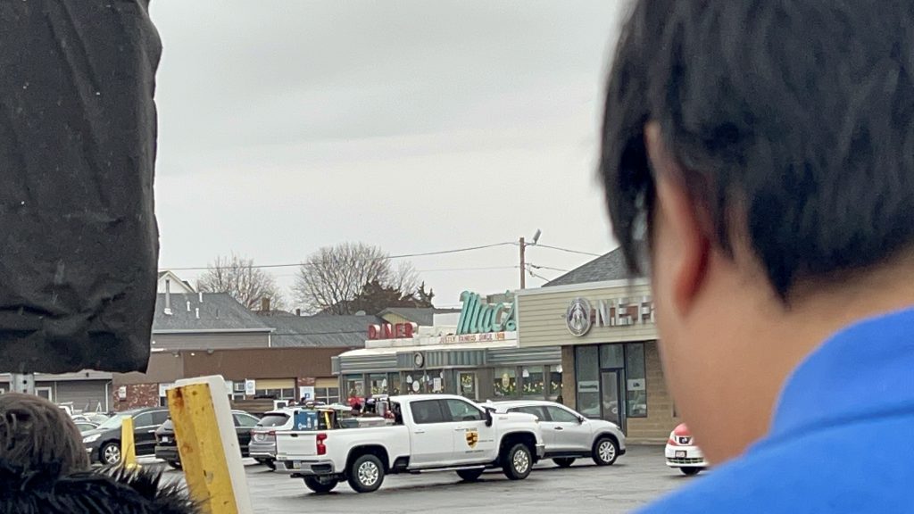
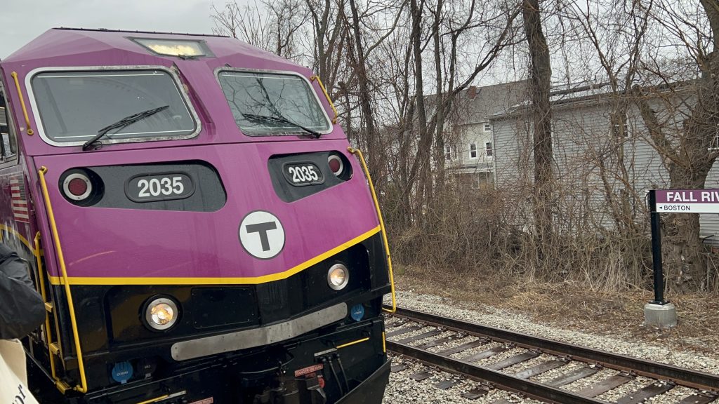
The second of the two new terminal stations to open as part of the South Coast extension, Fall River is located off Davol Street by the city’s riverfront area that is undergoing redevelopment. There’s also a D I N E R near here! With that in mind, let’s get into this!
Signage across the track!
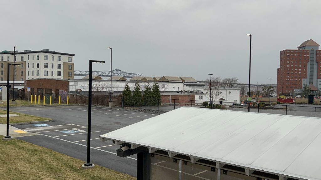
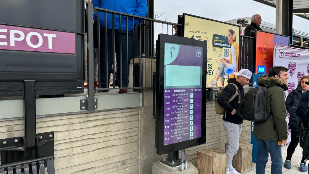
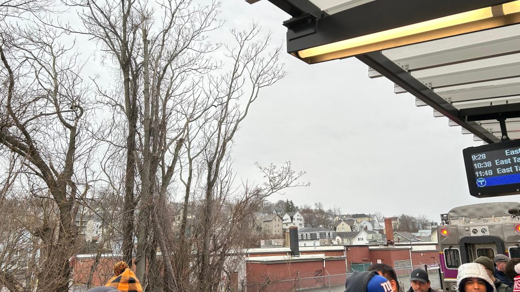
Just like New Bedford, Fall River has 1 platform track and a freight siding intended for Mass Coastal and CSX. The platform is a standard 800ft high level platform, with benches, shelter, departure boards, a ramp for accessibility, and stairs. The station has a bit of parking, though it doesn’t feel like a lot despite there being about 220ish spots. As for the location, it’s actually pretty good despite the fact the tracks don’t run into downtown. I can’t help but feel that the proposed Battleship Cove station site might have a slight edge on getting into downtown Fall River, but this still isn’t a bad spot. As for buses, SRTA runs the route 102 bus down North Main, while the 114 doesn’t have a stop on Davol Street itself. Another questionable choice made is microtransit. Yeah, I don’t see why this place needs it yet some other stations I’ll be covering don’t. Overall though, it’s not a bad station! And credit to MassDOT for making Rt.79 a little more friendly to pedestrians, and the city for redeveloping the area.
Departure board!More signage with HISTORY!TrainI spy…..the Braga Bridge.Parking!WHY ARE THEY HOSTILE?!Shelter! And probably the most ridership this station will see for a whileTowards Boston. Hi, Jules!Signage from the other side!Another departure board!Very Worcester-esque housing stockCAB CAH!Ramp to street level!Stairs!GOODBYE, ELEVATED EXPRESSWAY!I guess Al quit.BRAGA BRIDGE!One pic wasn’t enough.Another parking lot shotMAURAAAAAAAAAAAAA!!!!!!!!!!!!!!!!The next train – a shuttle to East Taunton
The good: It’s located pretty well and largely avoids the classic Old Colony “park and ride” pitfall! The area’s being redeveloped, and Route 79 got demolished! Furthermore, it’s got a couple of bus connections! It’s also in a rather walkable area, as well, which is nice!
The bad: SRTA kinda half-assed bus connections to here though. Why does the 114 not serve here despite blowing right past?! Why is the 102’s southbound stop so far away, relatively!? AND WHY IS THERE MICROTRANSIT?!
Nearby points of interest: Al Mac’s Diner! Also, the Lizzie Borden House and the riverfront! Battleship Cove is a way’s south, and if you want good pierogis, I can’t recommend Patti’s Pierogis enough.
Overall, it’s not a bad station, and the area’s almost certainly bound to be upzoned in the near to medium-distance future. But, WHY IS THERE MICROTRANSIT RATHER THAN, YA KNOW, SRTA RUNNING EARLIER AND LATER?!
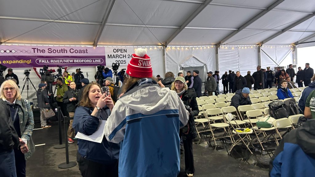
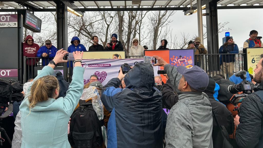
It’s been a LOOOOOOOOONG time coming…..but now, 67 years after the last trains roared through, on 2025-03-24………
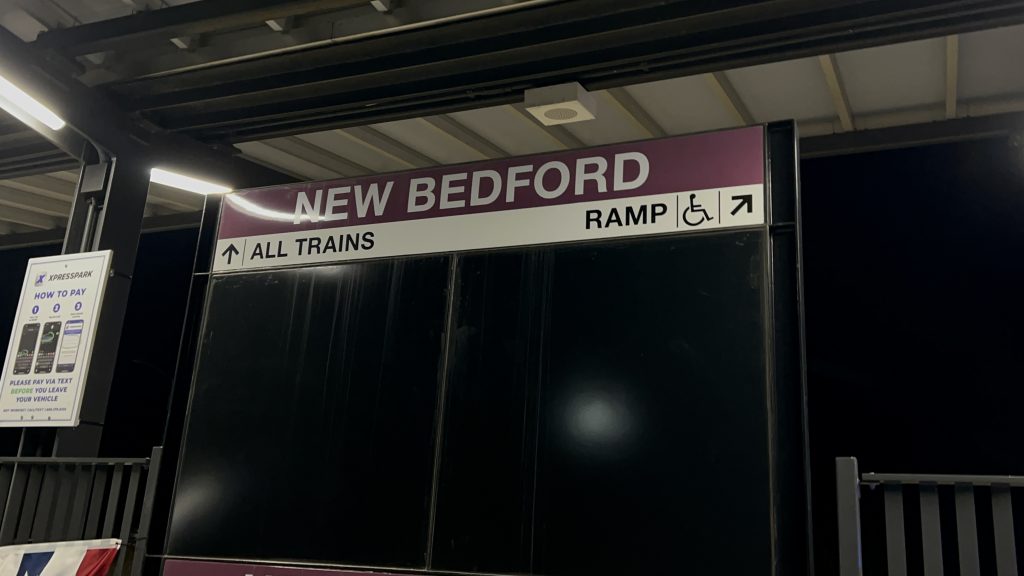
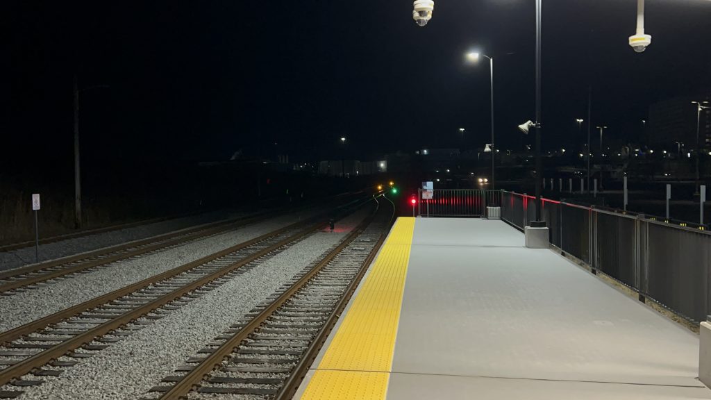
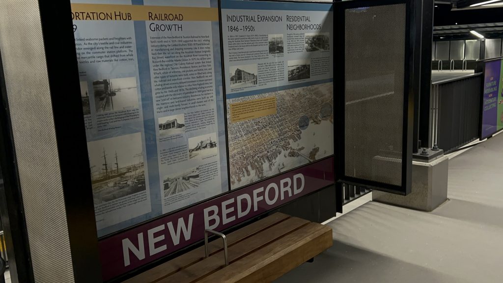
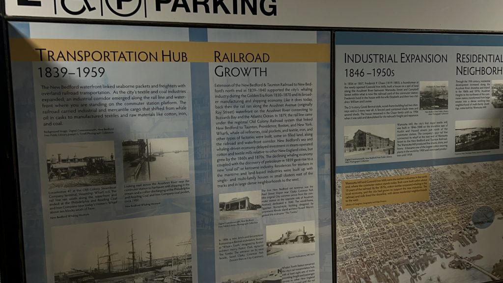
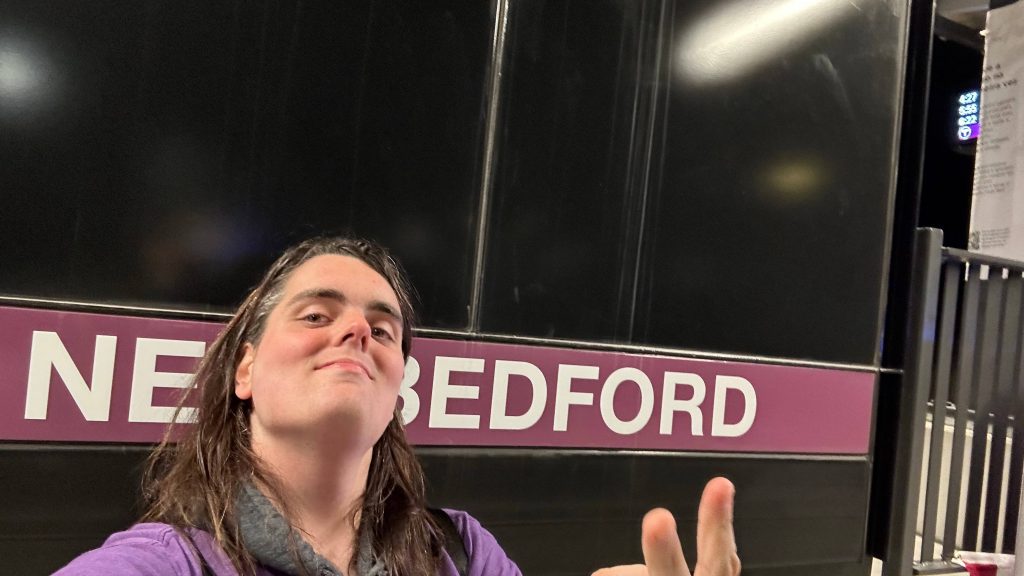
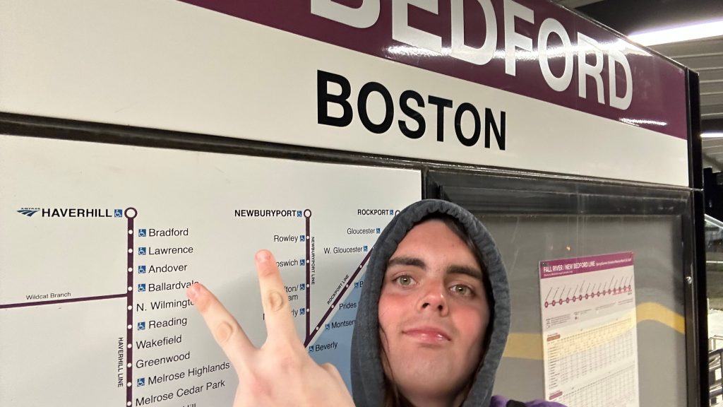
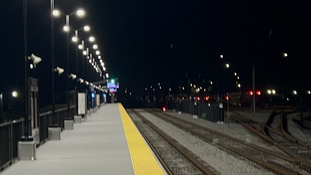
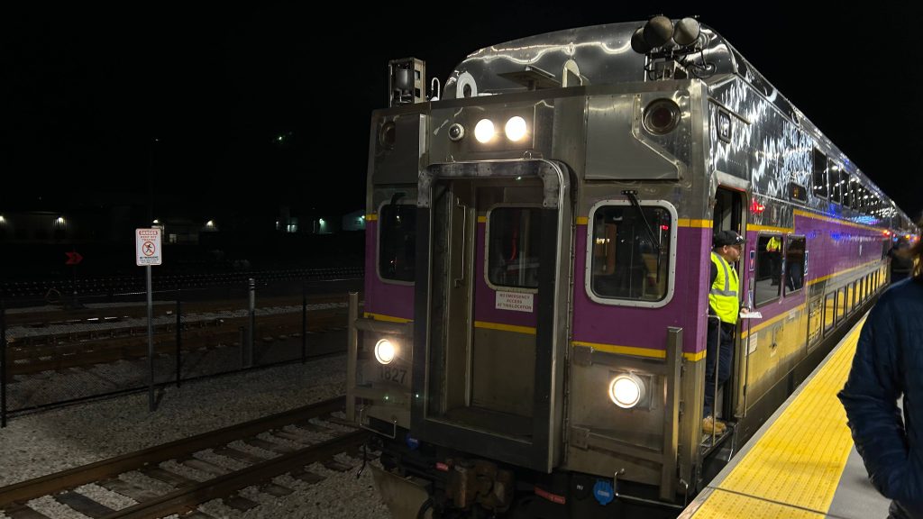
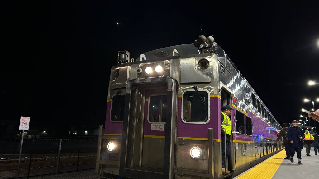
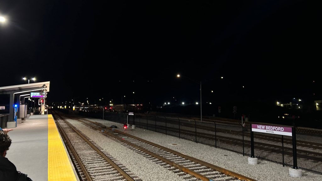
SIX. NEW. STATIONS!!!!!!! South Coast Rail has finally opened to the general public for revenue service and I’m VERY excited to talk about it! With that in mind, here’s the first station review of the extension, and the first new stations since Pawtucket! First stop: New Bedford (Downtown)!
HOWDY Y’ALL!!!Signage!
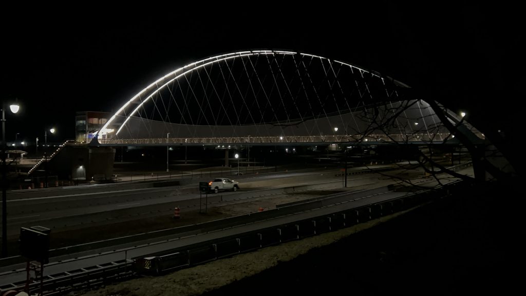
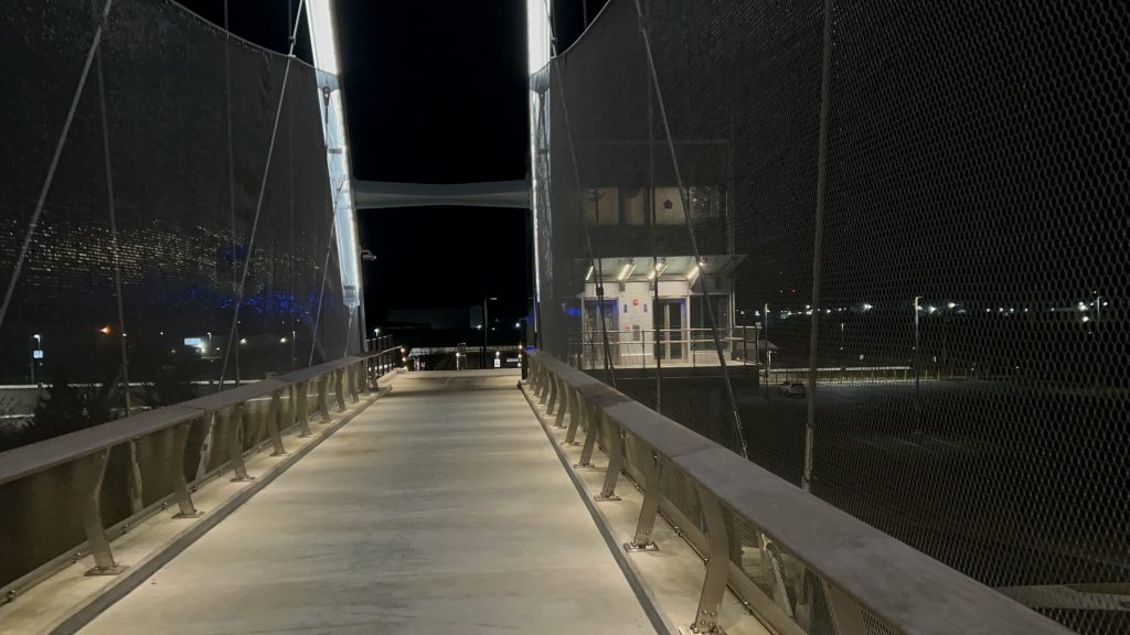
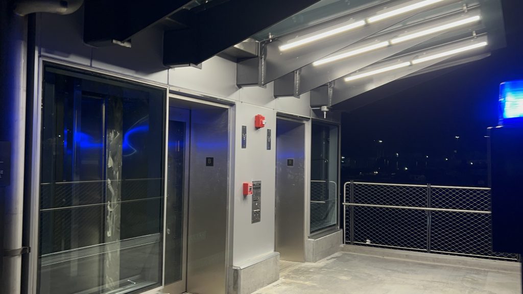
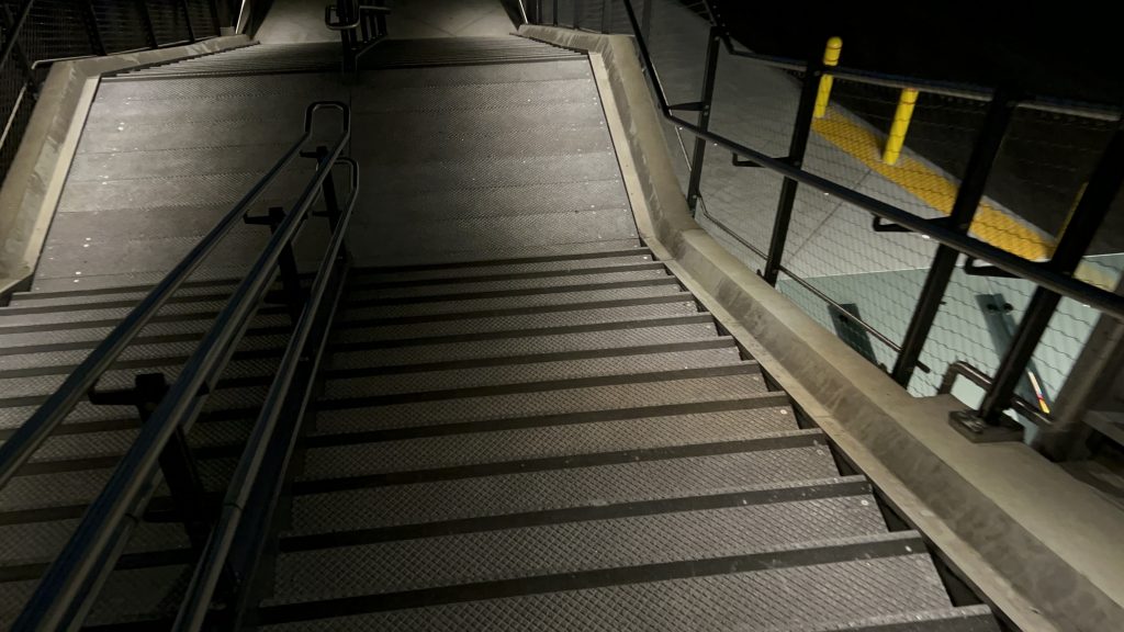
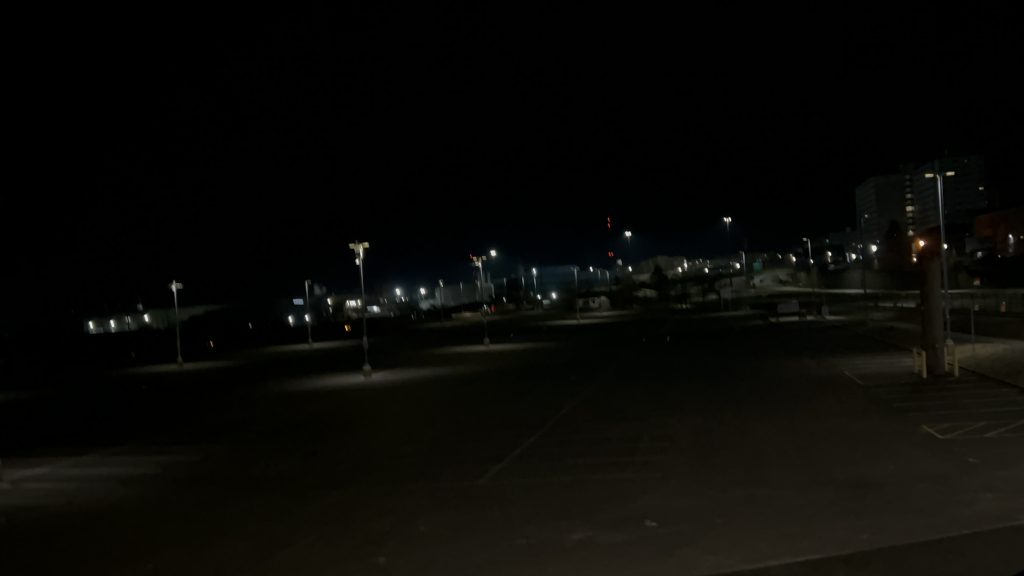
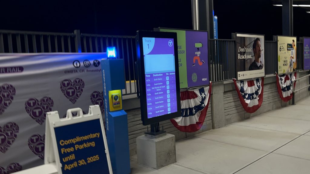
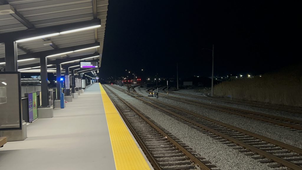
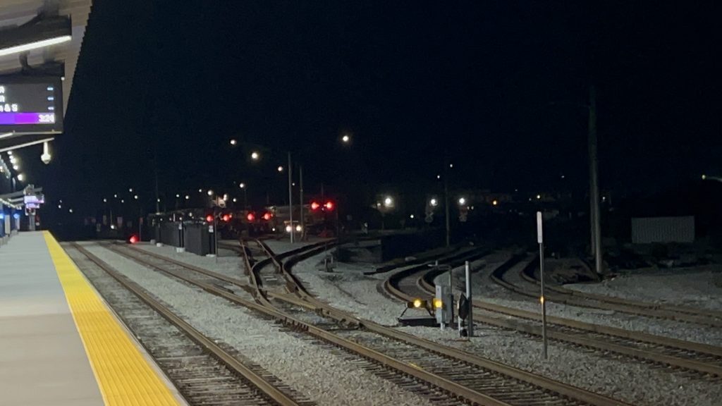
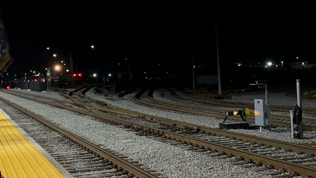
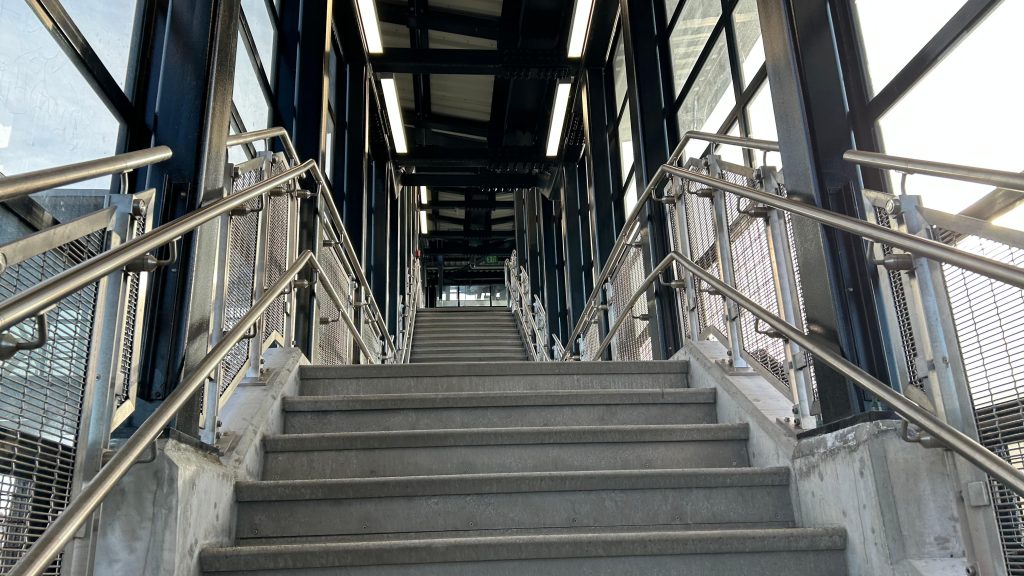
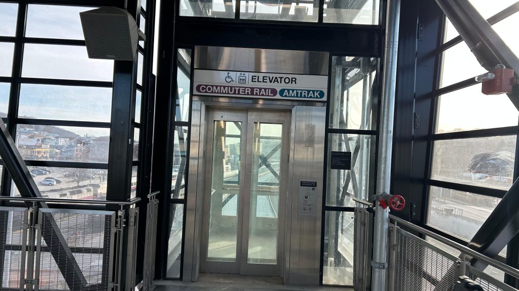
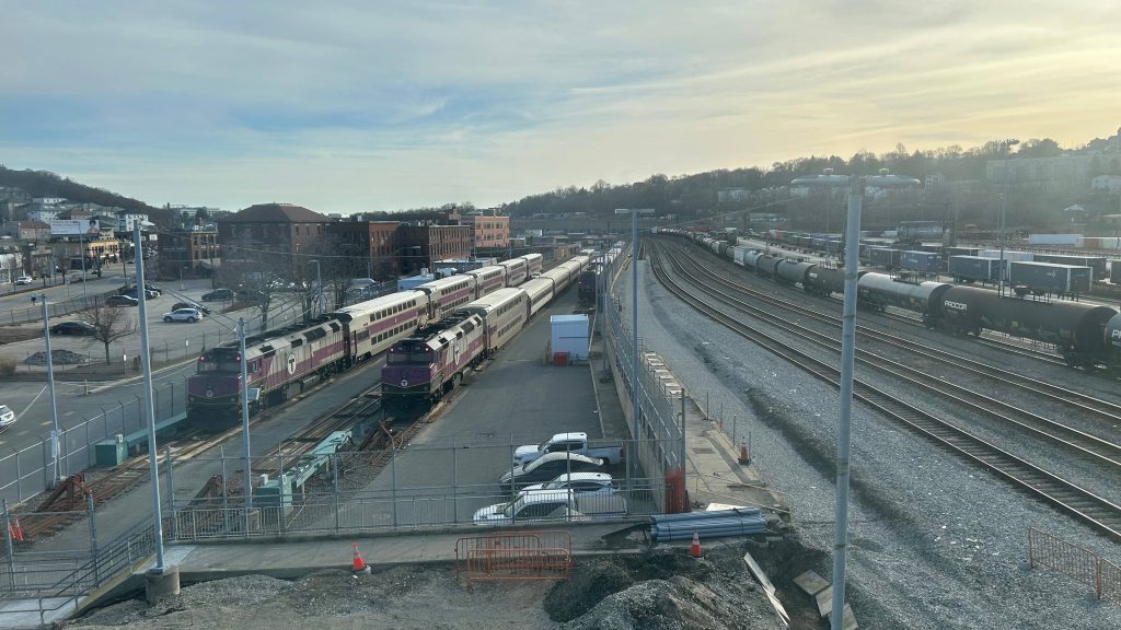
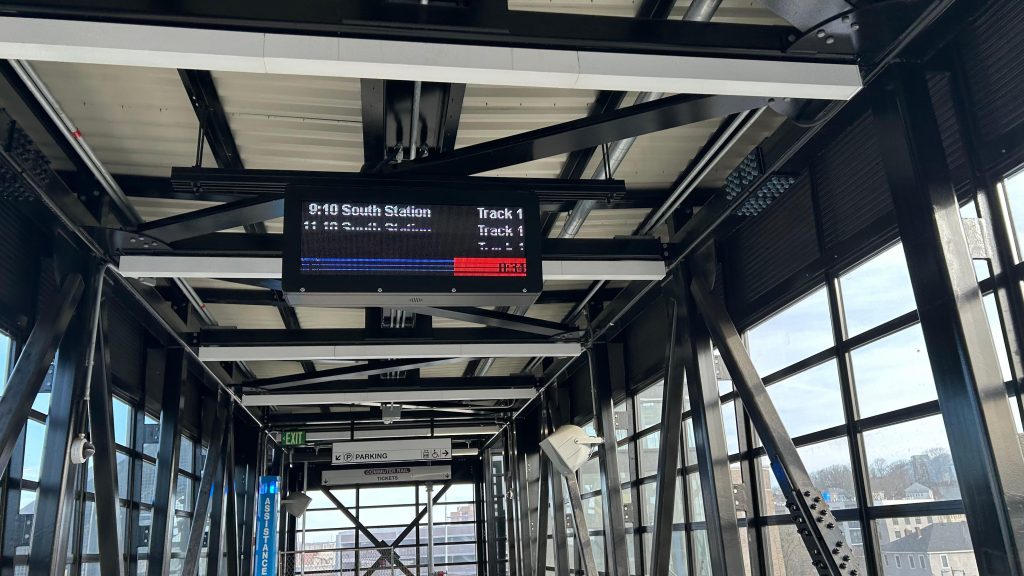
So, first off, this station has two different locations for bus connections. The 204 and 209 both stop at Purchase & Pearl, across the highway with access via a pedestrian bridge which, truthfully, looks quite nice. Meanwhile, the 211 stops on Acushnet Avenue outside the station. Speaking of which, the bridge over Rte. 18 REALLY looks nice! There’s even elevators, a Dutch “walk your bike down the stairs” situation, and even artwork. The station parking lot itself is sizeable, however it does also somewhat serve double duty, partly, as the Whale’s Tooth terminal parking lot. But, the Whale’s Tooth part is closed at this time of year because ferry season isn’t for another month. As for the station itself? It’s actually quite nice. You have the Wamsutta St. layover facility, a high level platform with sheltered areas, departure boards THAT HAVE SCROLLING TEXT?! WOAH!!! Another departure board is on the platform as well, more akin to what you’d see at Back Bay, Ruggles, and South Station. All trains are listed for Track 1 (the only platform track). There’s also a freight siding for Mass Coastal and HOLY FUCKING SHIT IT’S MILES. Nah, just kidding, though I actually did encounter him here and stuck with his group for much of the (very long!) day. There’s also another, more lowkey, exit from the platform as well. Overall, though, not a bad station!
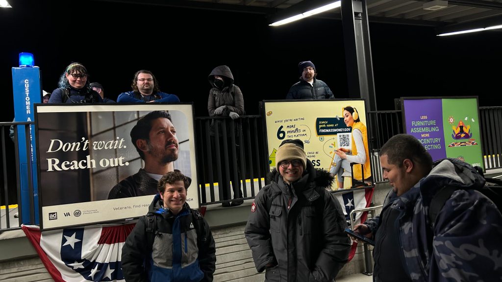
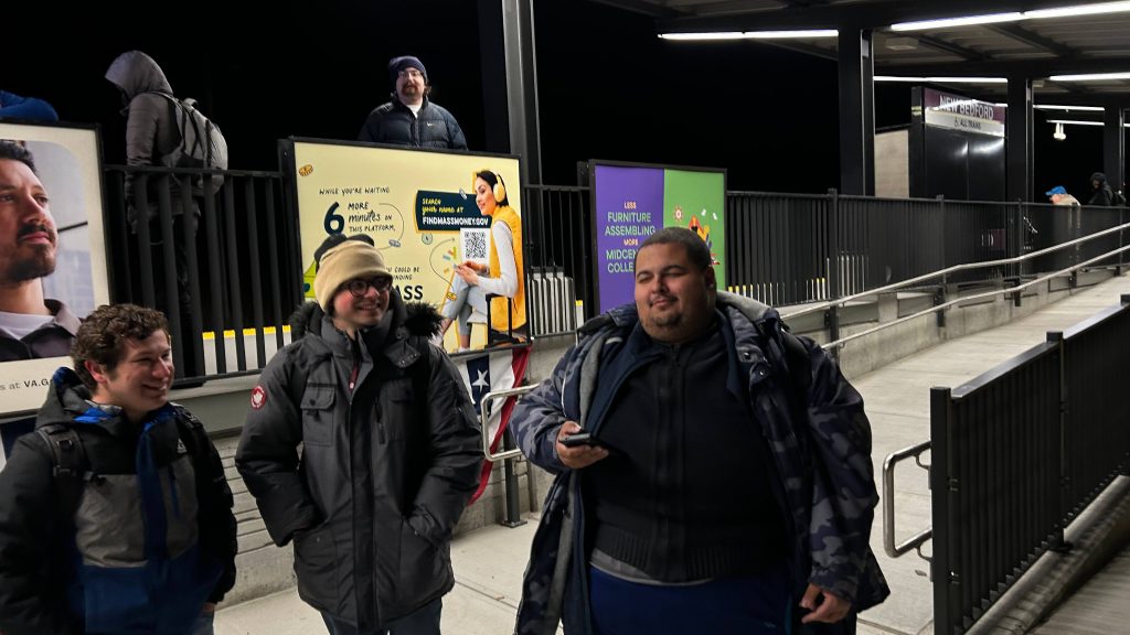
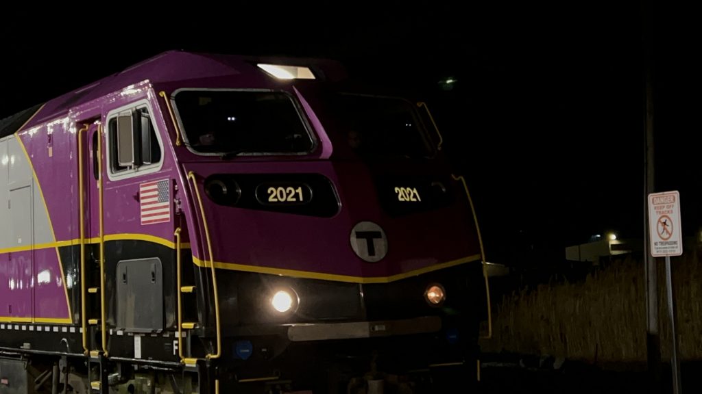
The bridge!Overpass shot of Rt. 18Towards the station. I see an elevator!Doesn’t smell raunchy (yet!)Stairs! Yes, you can walk a bicycle down it!Parking! (at night!)Bike racks!Departure board!The Wamsutta St. layover facilityA bunch of clear and restricted signals, presumably for the yard move outA better yard shotHISTORY!!!WOAHIT SHOWS THE TRAIN NUMBER!!!Looking towards South Station and Taunton!Platform shotI fucking did it.And another selfie because why not?Free parking!I saw someone touching the switch.A third selfie for good measureCLEAR ON 1.HOLY FUCKING SHIT IT’S MILES (also hi Jeremy, Aviv, Maz, and the others!)THE TRIBAL KING SHALL BE ACKNOWLEDGED!CUE STRAUSS’S ALSO SPRACH ZARATHUSTRA!!!HSP46 #2021, FIRST YARD MOVE OUT!Iconic.The ass of the trainHERE IT COMESFUCK YEAH!!!TOOT TOOTImposing!Miles being sillyThe cabAnother cab shotAnother yard shot before making the long trek to Boston
The good: It’s in New Bedford, and this is the closest you can get to downtown by rail! It’s a stone’s throw, and furthermore, across Route 18 is a residential neighborhood, so it’s in a relatively walkable area too (by virtue of the footbridge across the highway). The industrial area is expected to be redeveloped, but as of now it’s industrial. But, you also have the many Seastreak ferry connections to places like the Cape, Martha’s Vineyard, Nantucket, and I think even Block Island. There’s also plenty of parking, and I’m sure if you want to spend the day in New Bedford without going into Boston, this is a decent place to park and ride as well.
The bad: I mean, the area’s not the most pedestrian friendly given Route 18 is right there. But, I’m sure that could change in the future. Also, the walk to downtown is a little long, but still not the worst.
Nearby points of interest: The waterfront and downtown are the big ones! This city is also famous for the whaling industry (& is still a major fishing hub in the 21st century!). Also, the local career center is right at the station!
Transit connections: Commuter Rail (New Bedford) SRTA (202, 204 on Purchase St., 211 on Acushnet Ave.)
Overall, it’s not a bad station, and in terms of vibes, it’s really not that bad! The location could be better, but the rail lines aren’t conducive to a station in the heart of downtown so this is the closest we got. It’s genuinely not that bad though!
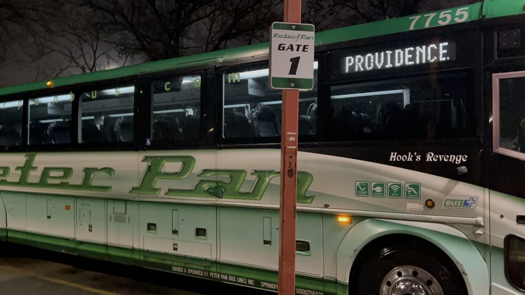
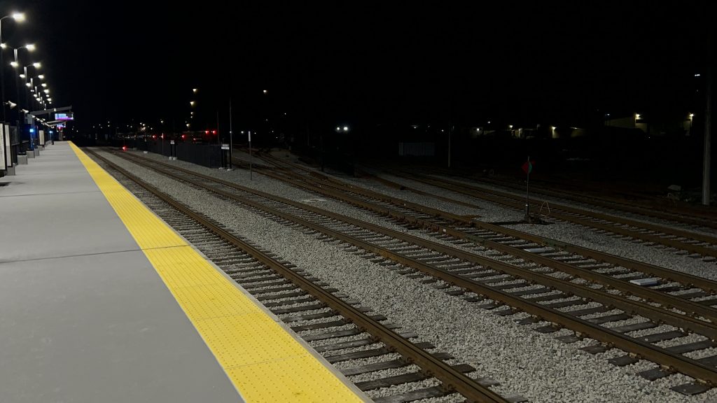
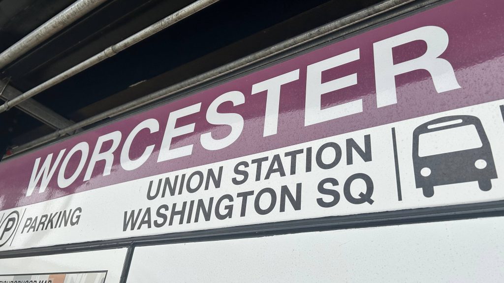
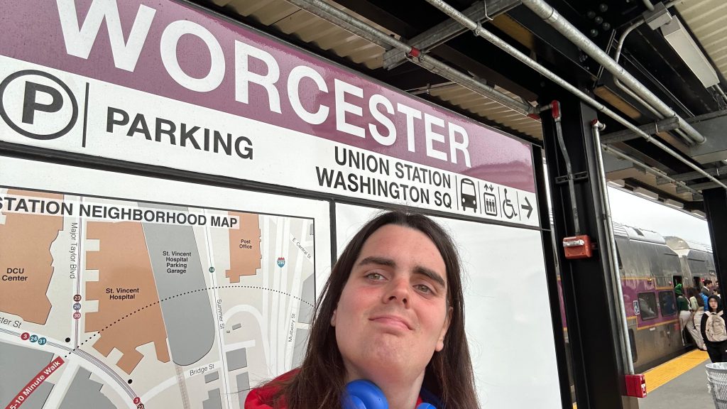
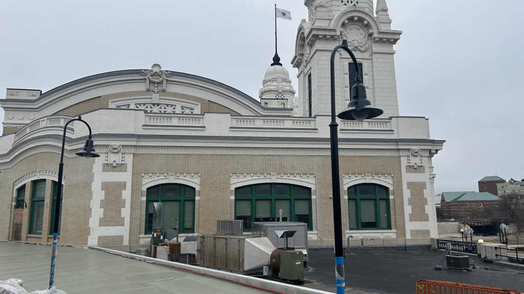
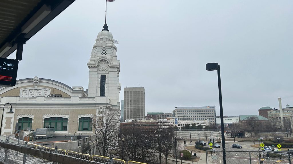
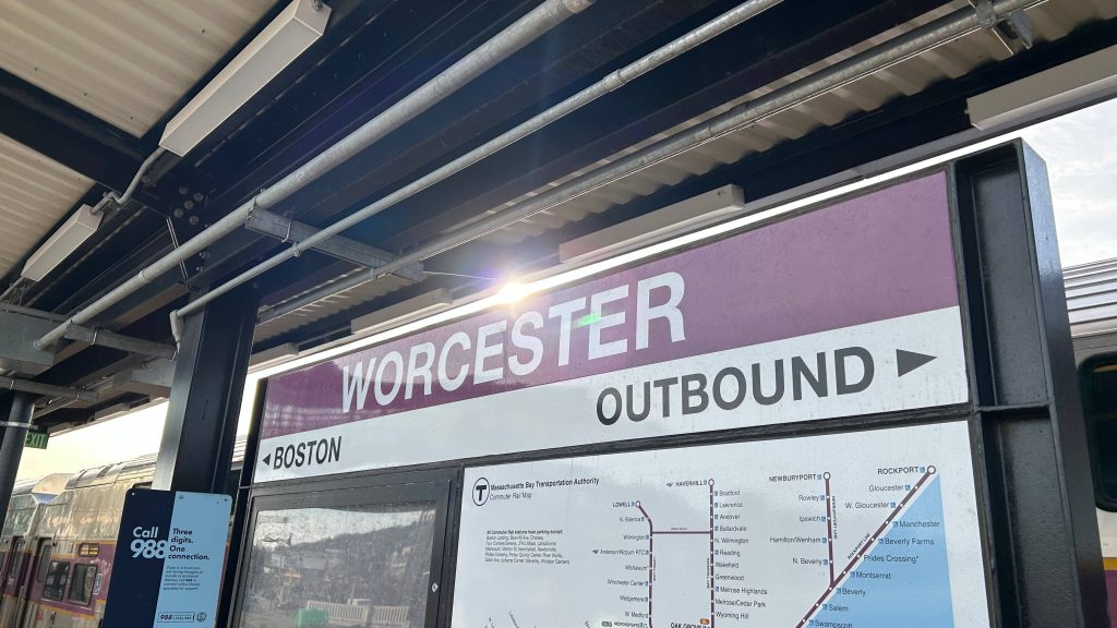
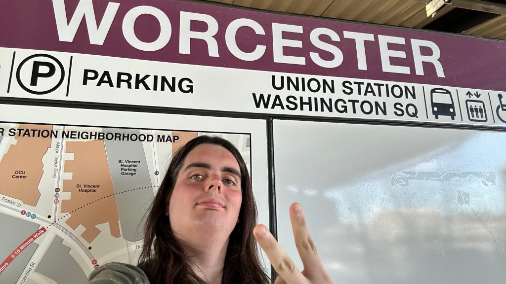
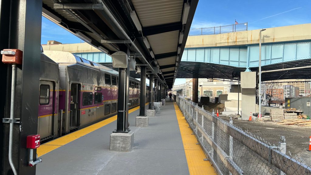
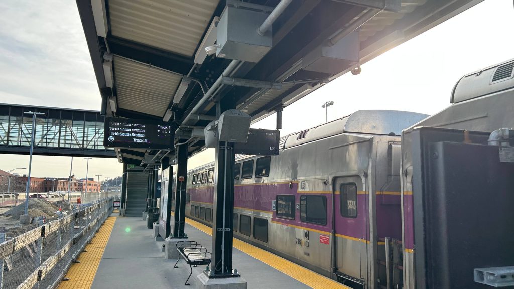
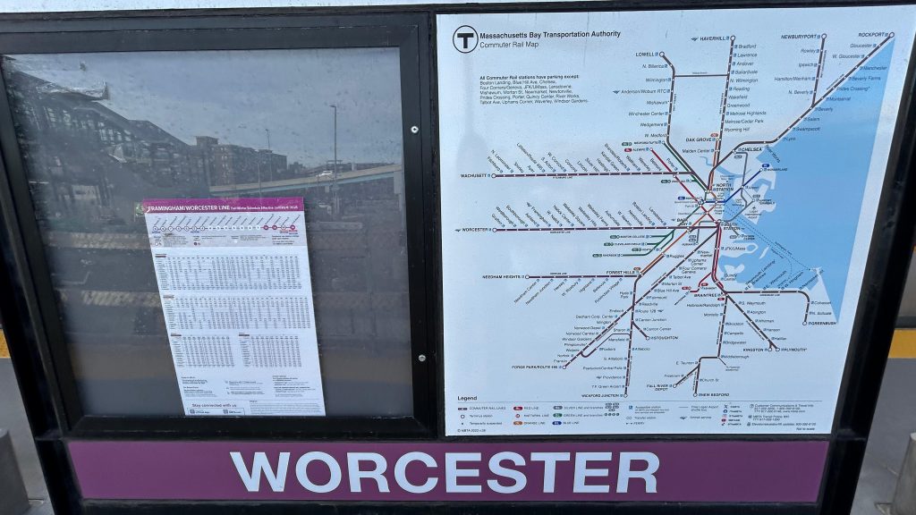
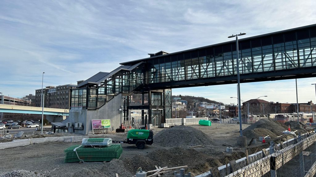
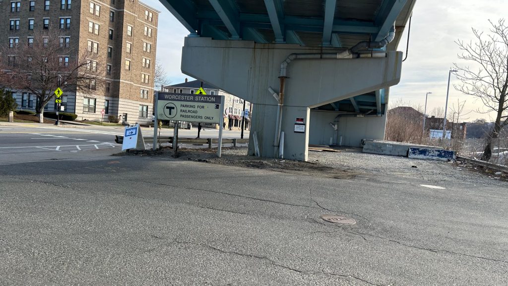
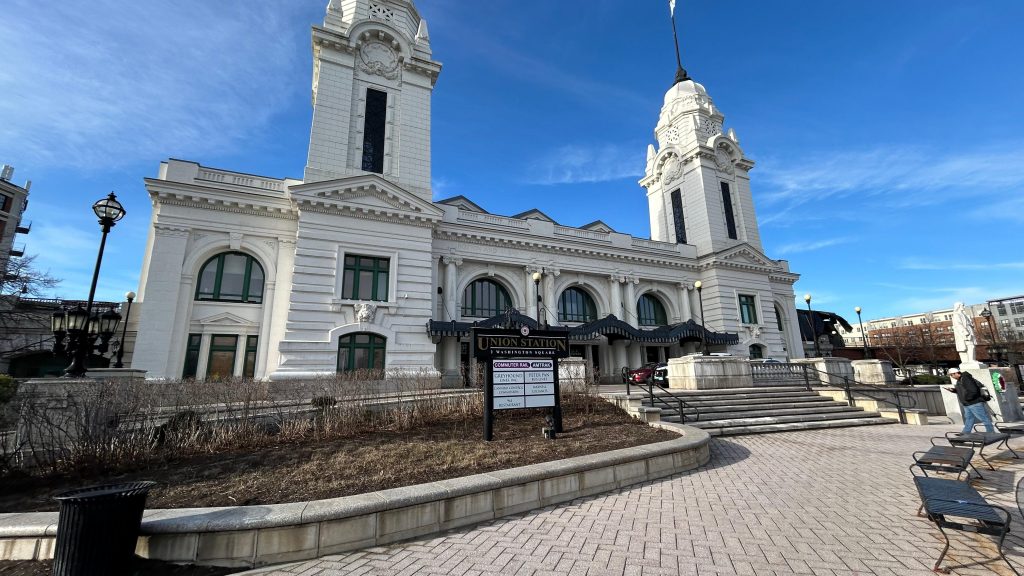
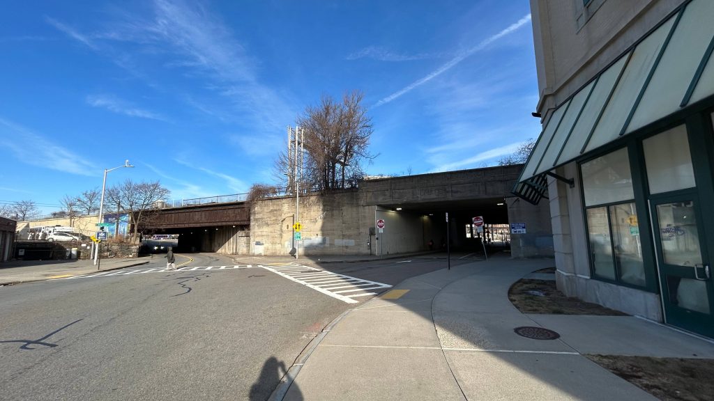
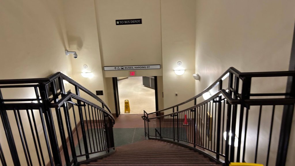
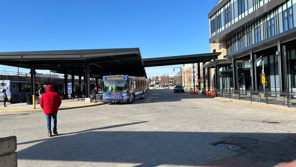
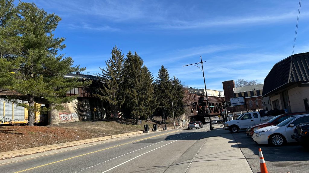
Oh, how far we’ve come…the final entry of the Commuter Rail saga (well, aside from the entries about the lines themselves – but I’ll worry about that post-South Coast Rail…, also aside from the six South Coast Rail entries that will be dropping over the next couple weeks). And, no better way to finish off than what is quite literally the final boss: one of the busiest Commuter Rail stations on the system, at the end of a line that connects the two largest cities in all of New England (yeah, sorry Providence, but you aren’t that far behind circa the 2020 census – only about 15k people difference!). This one, surprisingly, was VERY difficult as well, having taken two attempts. With that in mind, here we go. The end of the MBTA’s Worcester Line, a surprisingly not very busy Amtrak stop (out of 11, the 3rd least-used stop in the entire state as of Amtrak FY’23), Worcester’s Peter Pan and Greyhound stops, …and a bus stop for both the PVTA and MART??? Huh, odd. Needless to say, with all that in mind, here we go!
ATTEMPT #1: SIGNAGEHi from the belly of the beast!
ATTEMPT #1, 2025-03-15: I woke up at the asscrack of dawn, hoping to utilize the 40 minute turnaround period to do this station review. Unfortunately, due to unexpected interlocking work in Westborough area, this didn’t pan out. We held at Southborough as the inbound train was wrong-railing through HALF OF THE LINE, which took a while. Then, we proceeded up once the train cleared, the engineer had to ask for verbal permission for a NORAC Rule 241 (to those not versed in railroading jargon, a Rule 241 is permission to pass an absolute stop). This……took a while, and when all was said and done, we finally got to Union Station. However, I only had 3 minutes to do much of anything. And, since the next train was in 2 hours…I was fucked. Why? Well, I had made plans to ride Brooke’s train and to spend the day with Nat as well, and having to arrive back into Boston at almost 1PM would have derailed this greatly. So, back to the drawing board I go, to attempt again with my entire morning cleared out, as my only other real options for handling this were to either throw away my errands for the 17th (not happening as laundry takes a while) or to wake up at the asscrack of dawn on the 22nd (this was the only other viable option). With that in mind, I’d have to trudge on for another week before I could attempt to tackle this beast again.
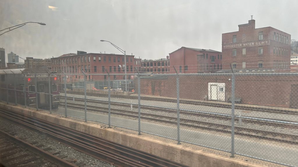
The CSX yardMore residential bits of Worcester!The MBTA layover facility!Union Station!Another shot of the stationInterstate 290!Damn you…I spy an overpass…
ATTEMPT #2, 2025-03-22
SIGNAGE: ATTEMPT NUMBER TWO.
So, after my last attempt got botched horrifically due to UNEXPECTED TRACKWORK IN WESTBOROUGH AREA, I had to come back up. And, given the fact the opening of the South Coast extension was imminent, I figured today (2025-03-22) was a good day to dry run waking up at such an ungodly hour (2am!!!!!). With that in mind, I hopped on the first Commuter Rail train of the morning, changed at South Station (rather than Back Bay), and pressed on all the way to Worcester. This time, I not only carved out 2 extra hours in my schedule, but also took my sweet time with this one. It’s the last entry, for crying out loud! So, with a smooth arrival into Worcester Union Station, here goes nothing.
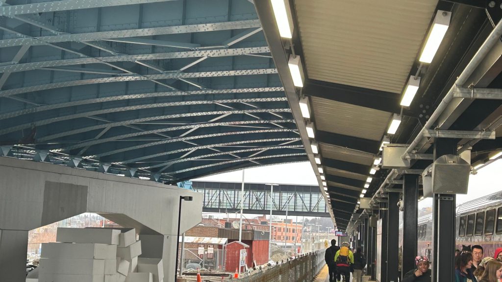
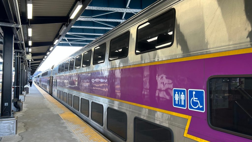
Train. All bilevels!I fucking did it.Looking down the platformThe PA system
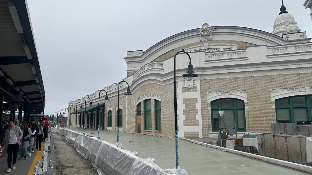
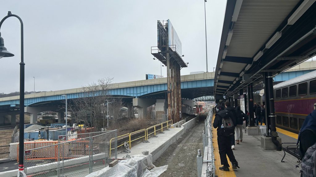
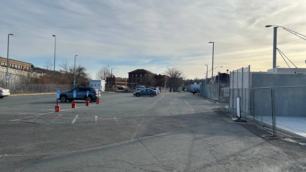
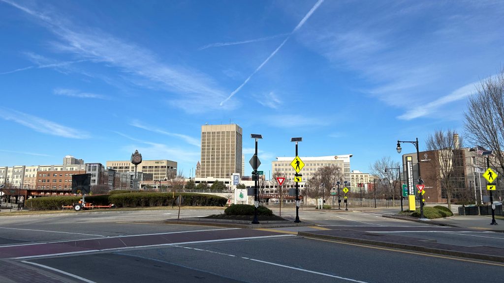
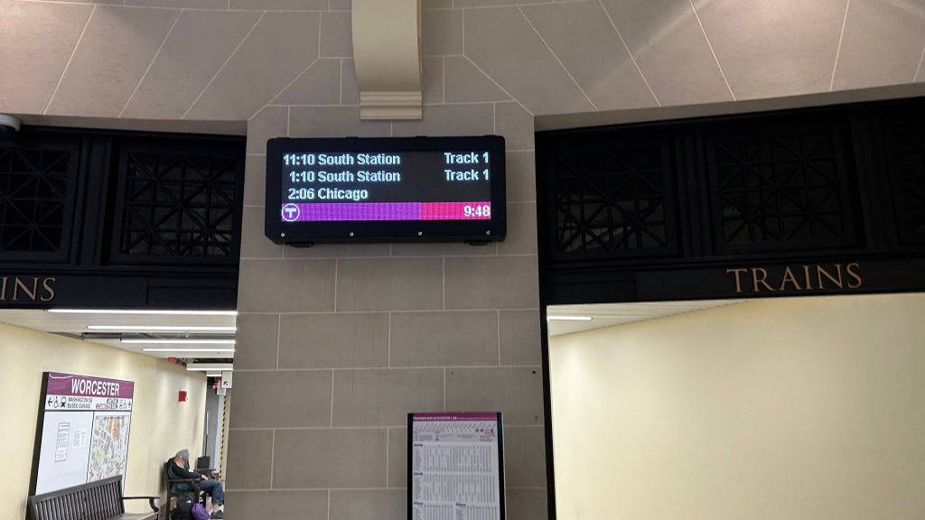
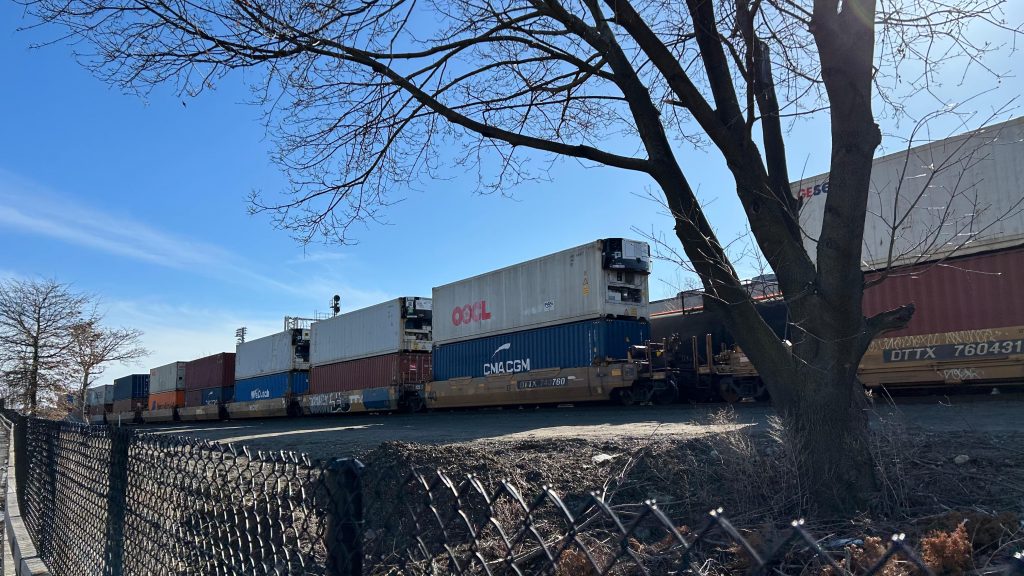
The platform was decent – the PA system is pretty beefy despite the fact that: 1. only commuter trains stop here, and 2. only one Amtrak train leaves here each day (the Lake Shore Limited to Albany & Chicago). Benches line the platform, as does even proper countdown clocks ala what you’d see at Back Bay???? DAMN. I went to check out the pedestrian bridge and it was actually decently filled – as there was a departure board up there. Well shit, that’s ACTUALLY pretty helpful! There’s also a provision for a second track (does not exist presently), and I think the plan is to build said second track so more than one train can serve the station at a time. This would be important for the proposed East-West Rail proposal that would connect Boston with Springfield, the Berkshires, and Albany. There’s even a decent amount of surface parking to go around – and you can also see both the Commuter Rail and CSX yards from here as well. Cool!
Schedule and mapOVERPASS!StairsElevatorCommuter Rail yard front and center, CSX to the right!Departure board!I didn’t see any ticketing machines in the overpassBack downAN AMSHACK?!Elevator at street levelSurface parking – probably primarily intended for crew membersLooks a little sad under the Shrewsbury St. exit rampDowntown!
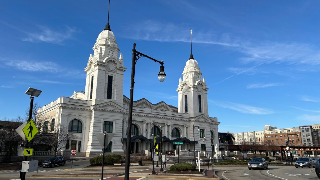
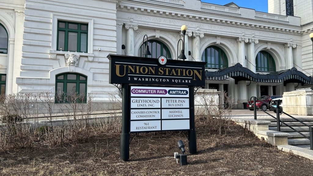
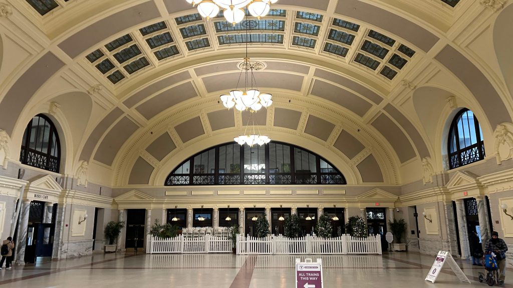
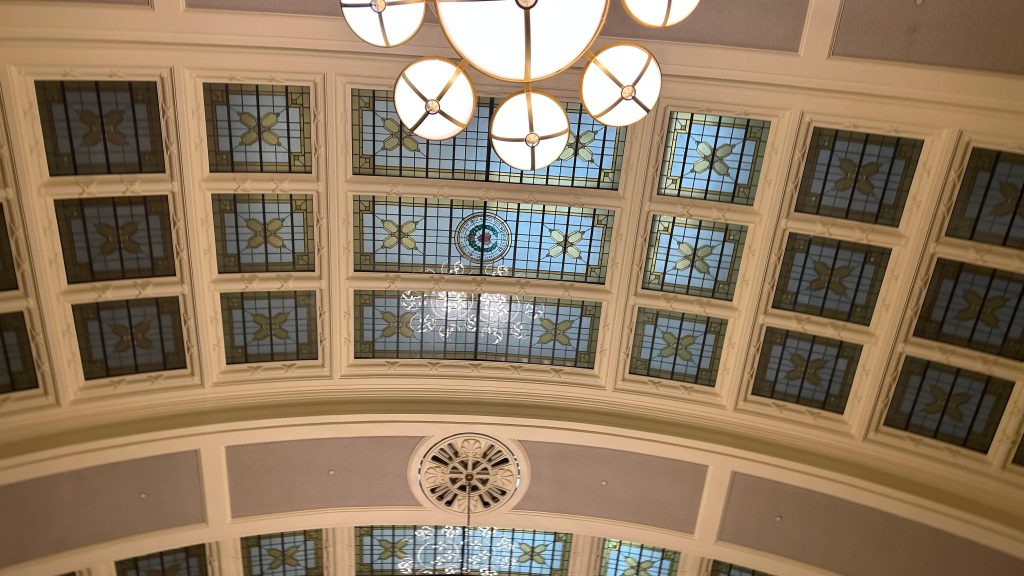
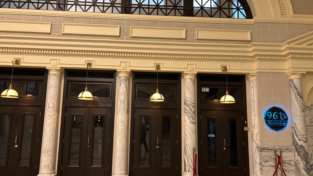
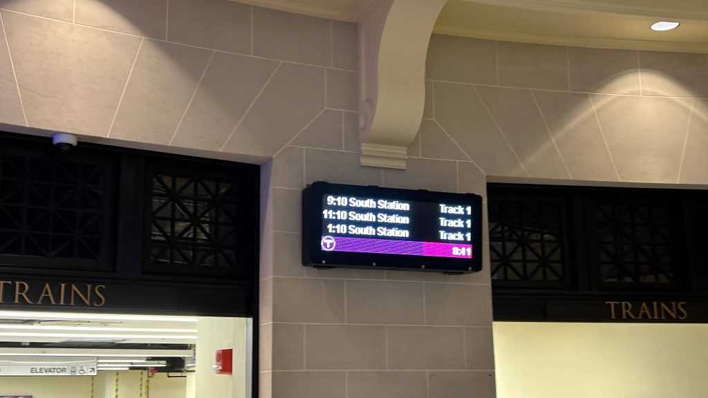
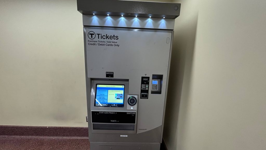
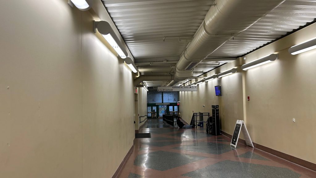
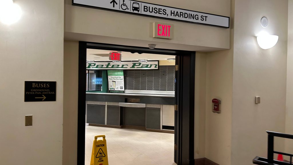
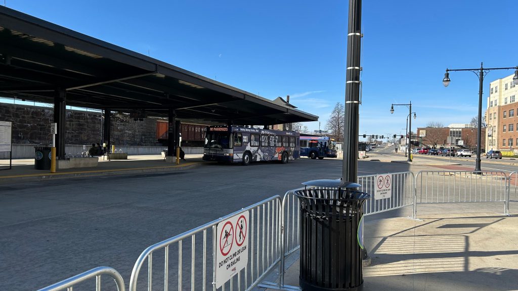
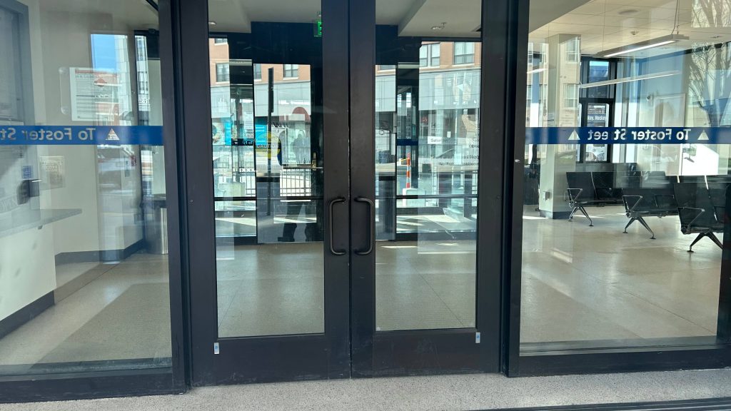
Now, if this was all said and done, I’d easily give this at least a 7 or an 8, by virtue of being a nice and modern, if single-tracked when it should be double-tracked, terminus station. But, there’s more. Union Station is well known for having a grandiose hall and waiting area, with a parking garage, intercity buses, and the WRTA’s main hub as well. The main hall has a couple of food tenants, restrooms, and can even be rented out for events. MART’s Clinton/Worcester shuttle is apparently prescribed to pick up at the front door of the event hall. Further in, you have a departure board INSIDE the station, a Worcester PD substation, a CHARLIECARD MACHINE(?!) – YES, YOU CAN ACTUALLY RELOAD YOUR CHARLIECARDS AND BUY COMMUTER RAIL TICKETS OUT HERE!, and even the main WRTA bus hub is out here. That isn’t too special to ring home about, as it’s got several sheltered berths and benches and the usual. Vs. something like BAT, the WRTA doesn’t have their shit together nor do any of their routes have live tracking with GTFS. At least with BAT, the schedule is padded to Hell and you have The Pulse. No such thing exists here. However, the WRTA DOES have an indoor waiting room. It’s passable! Oh, yeah, the PVTA’s B79 bus to ZooMass (UMASS Amherst) stops at the intersection of Harding and Franklin. Neat!
Woah…One shot wasn’t enough.Nice it acknowledges both intercity buses and Amtrak tooThe main hallThe ceilingA businessA DEPARTURE BOARD?!A TICKETING MACHINE?!Tunnel to the WRTA and intercity busesStreet level!Railroad overpasses galore!That’s something alright.BUS connection – but it doesn’t tell you the B79.the flag of my peopleYEAH BABY THE B79!!!ROUTE B79 SERVICE TO UMASSANOTHER ONE IN THE PARKING GARAGE?!StairsThe shuttered Peter Pan ticketing officeIntercity buses! Amtrak’s Thruway uses this too!Green Street!The WRTA!BUSES!It’s average. Passable.Things have changed…Towards Springfield, Albany, and ChicagoAnd back towards BostonThis train sharted itself on my way back 🙁
The good: A lot! It’s got a gorgeous station house, ticketing machines (nonexistent otherwise!), decent connectivity with intercity and local buses, signage that acknowledges the existence of Amtrak (where’s that at Framingham?!), a modern platform, overpasses with departure boards, departure boards in the main hall, a waiting area for the WRTA that’s open to the public, and is pretty well-located, being in downtown Worcester.
The bad: Signage for the PVTA and MART would be nice! I don’t have anything bad to say otherwise.
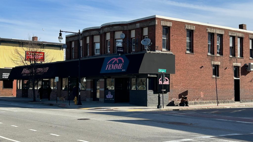
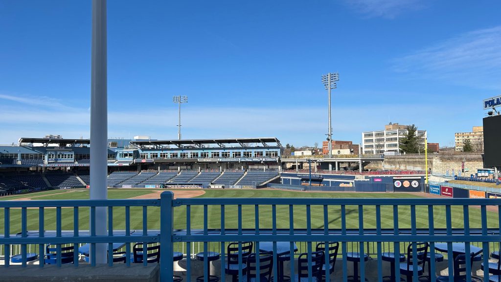
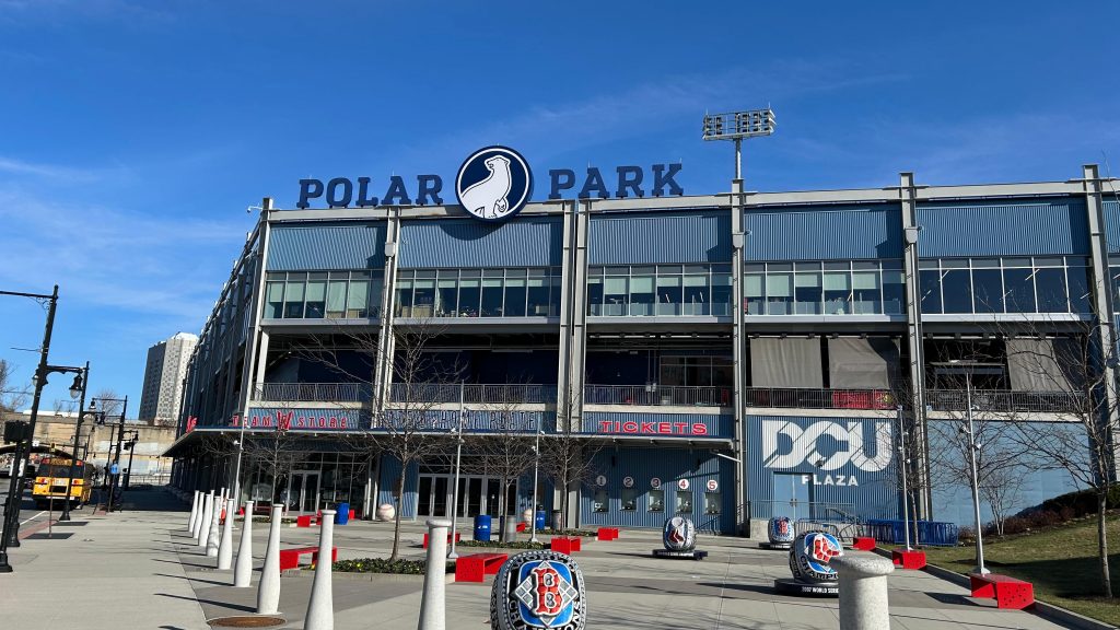
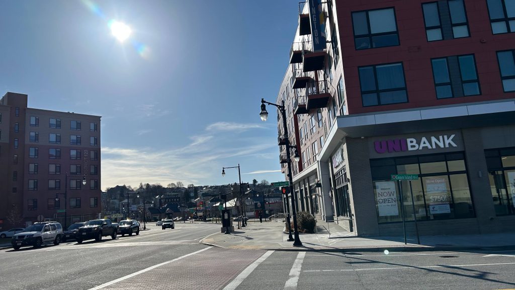
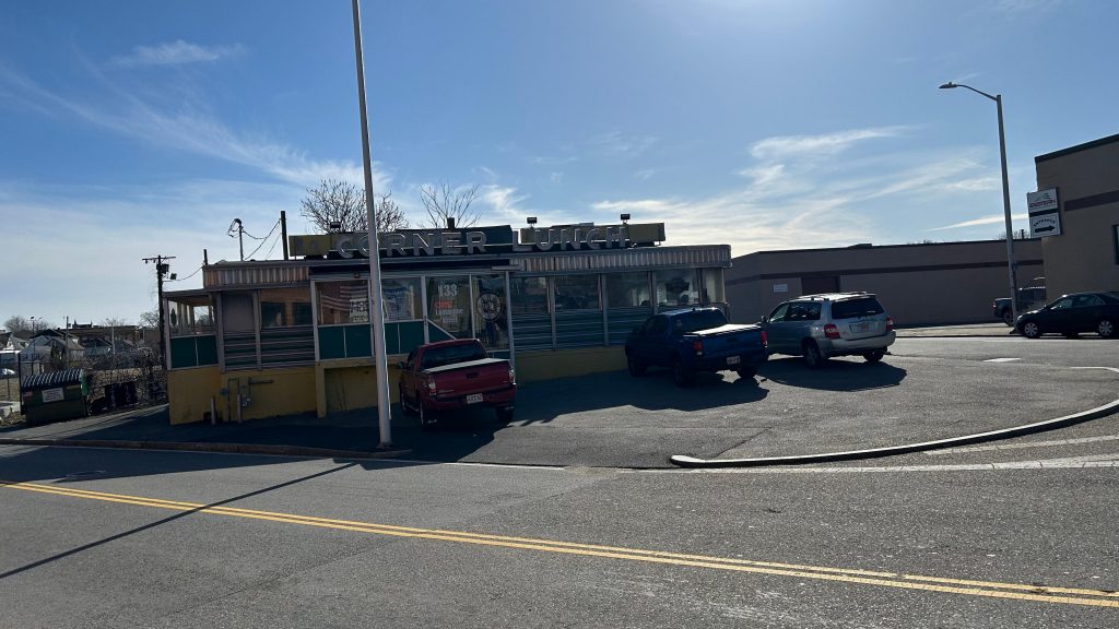
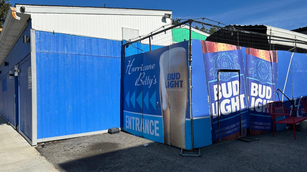
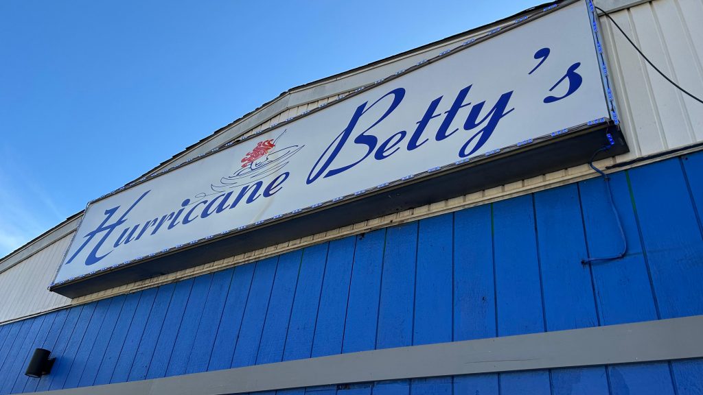
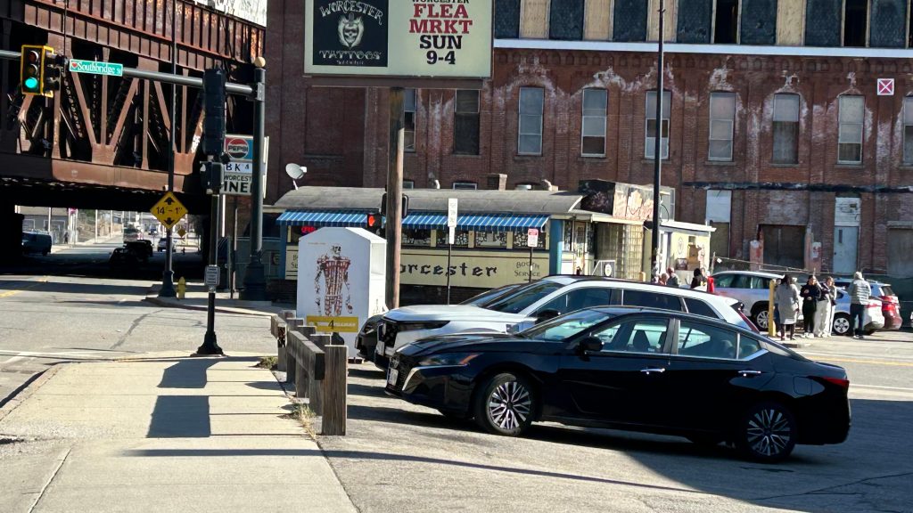
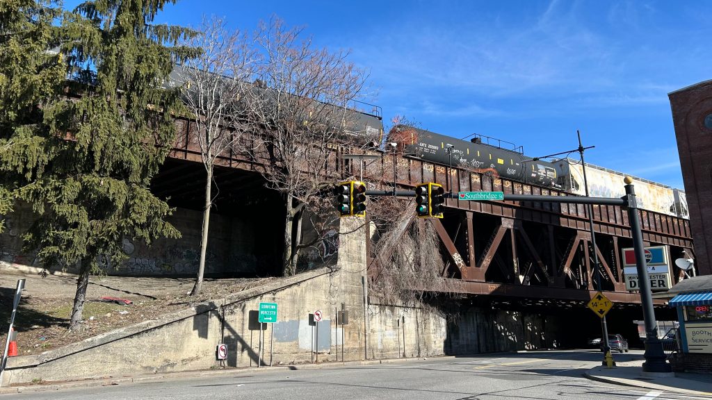
Nearby points of interest: Well, given this is in downtown Worcester, a lot, actually! I mean, you have everywhere the WRTA can bring you, ranging from several Walmarts, to where Higgins Armory used to be (RIP), Quinsigamond CC, Clark University, the Blackstone Valley Shopping Center, even out to places like Shrewsbury, the Auburn Mall, Southbridge, and even freakin’ Brookfield. Unfortunately, I can’t comment much as I haven’t ridden the WRTA much. Oh yeah, you can also get to Amherst and Ware via the PVTA’s B79 bus here, and MART runs a commuter shuttle from here to Clinton at peak hours, and express to Leominster and Fitchburg offpeak. As for thing closer to walking distance, you have Polar Park (home to the WooSox), the DCU Center, Femme (lesbian bar – yes, Ben, I will visit at some point), the Miss Worcester and Boulevard Diners, on Southbridge and Shrewsbury Streets, and even SWEATY BETTY’S (kids not allowed).
Overall, I genuinely think this is deserving of the coveted 10/10 rating. I mean, I got nothing against it whatsoever, I can’t even think of anything bad to say about it, and it’s probably the single best station on the MBTA network.
And, with that, that concludes “Chelsea Visits Every MBTA Rail Station”, I guess. I mean, I have the CapeFLYER, a few Amtrak stops, and a CTrail station in the Commonwealth. I still have the entirity of Metro-North and the LIRR, NJT, the MTA subway, PATH, SEPTA, Maryland MTA & MARC, and even WMATA and VRE. As for the future of this blog, I’ll probably mainly slowly hack away at buses, the likes of other Amtrak and commuter train stations, and possibly even do a cross-country adventure or two. I mean, as of writing this, the opening of South Coast Rail is imminent so that still remains otherwise, for the MBTA. And, I’d also like to give a shoutout to everyone that’s come along, including people that went through the trouble of going through these stations with me. Thank you all for joining along for the ride, and stay tuned because….
NEW BEDFORD IS NEXT.
Rating: 10/10
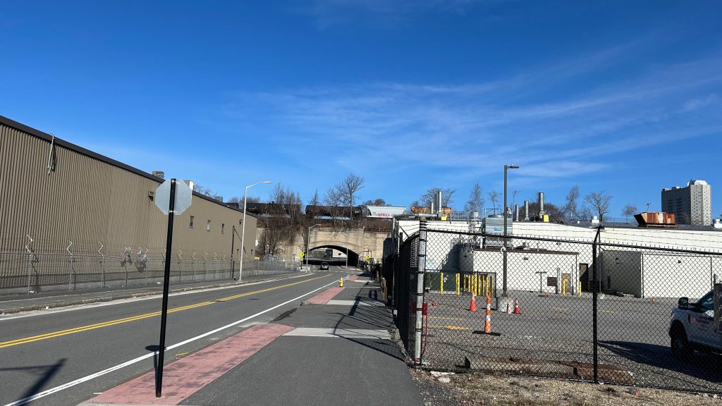
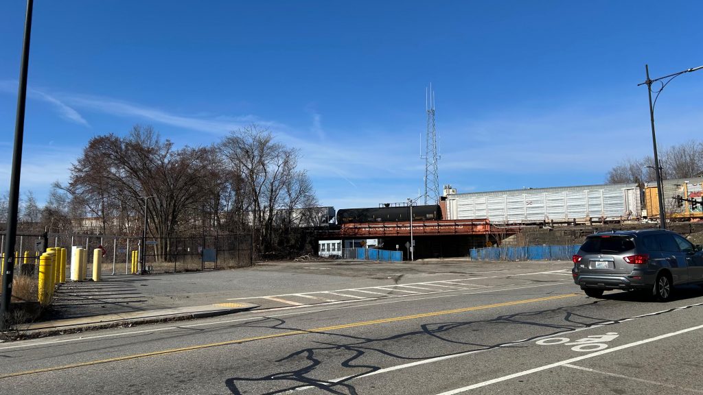
FEMME!POLAH PAHK!long live the PawSox…I get the feeling that all the new development is because of the WooSox…That’s a massive overpassD I N E RThe ex-NY Central’s line to Boston…OH-OH GOD IT’S SWEATY BETTY’SSomething about this feels very imposing…MISS WUHSTUH!This feels REALLY imposingThat’s a lot of freight…HERE COMES A GEVO (i think it’s a GEVO?)Downtown!