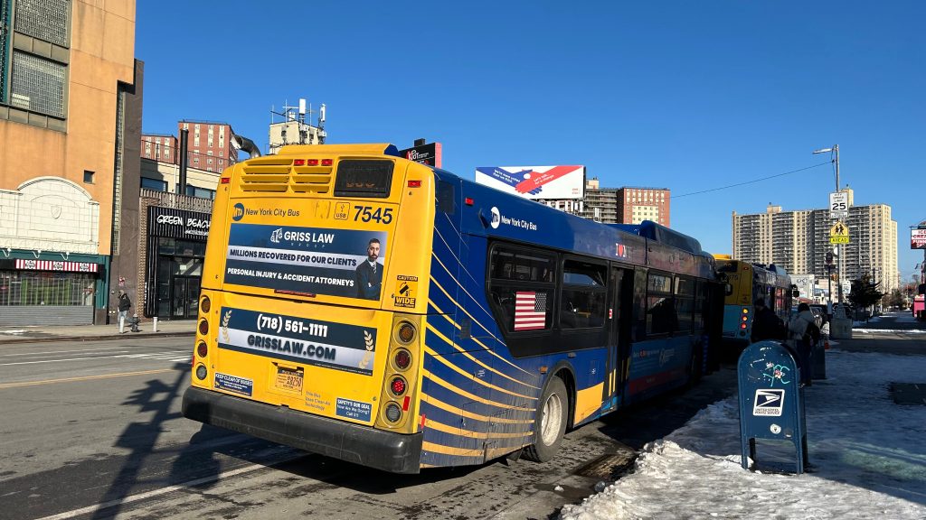
Wait, wait, wait…SEPTA?!?!?!??!? Did we seriously just backwards long jump past the ENTIRITY OF NJT TERRITORY?! Nah, this ain’t Mario 64. And even then, I still have NJT in the (as of writing this, very VERY large) backlog. Without further ado, here’s the first SEPTA Regional Rail(TM), first SEPTA (systemwide), and first blog entry anywhere beyond New York or the far Northeastern US.
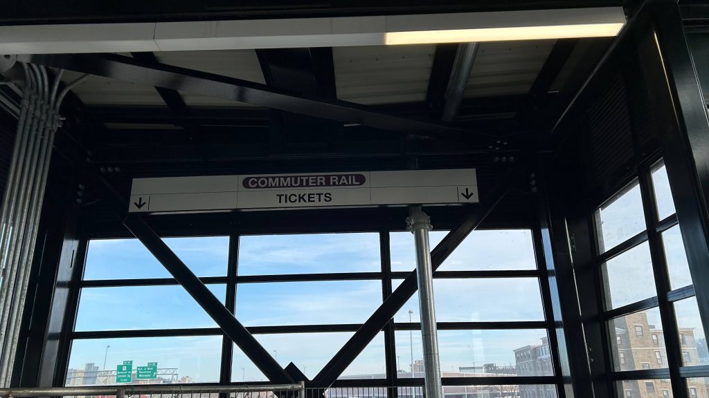
Signage!
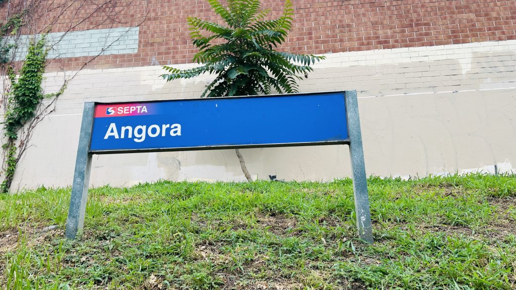
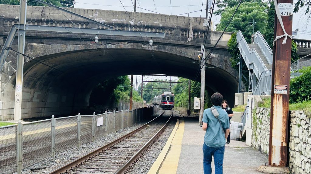
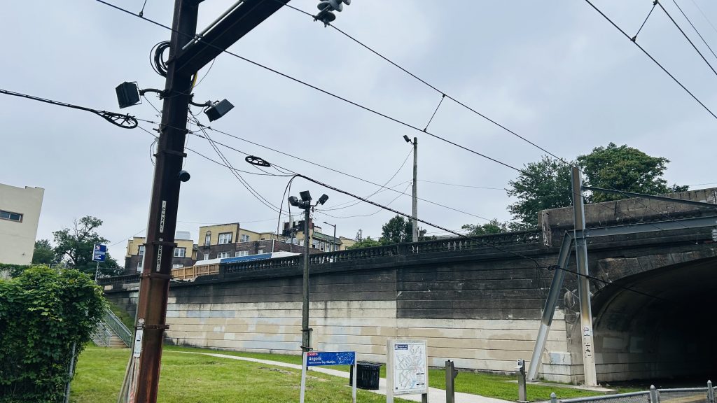
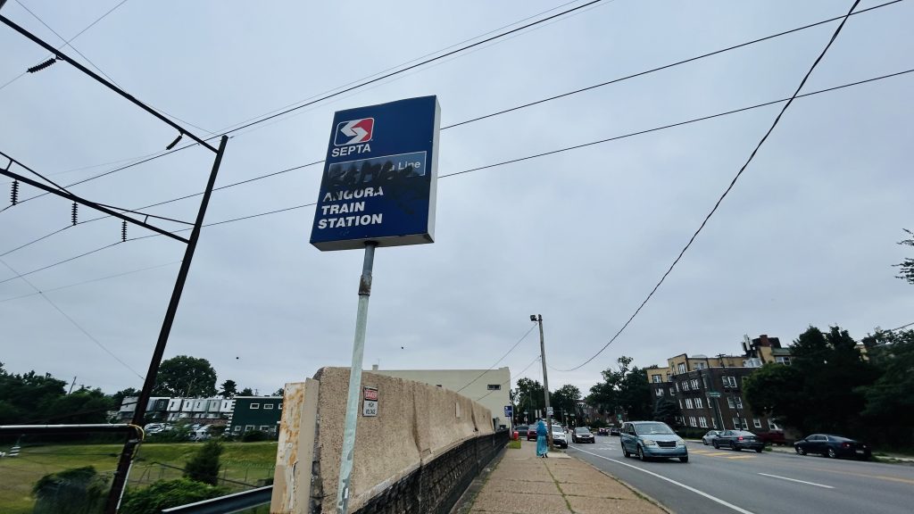
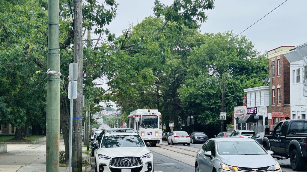
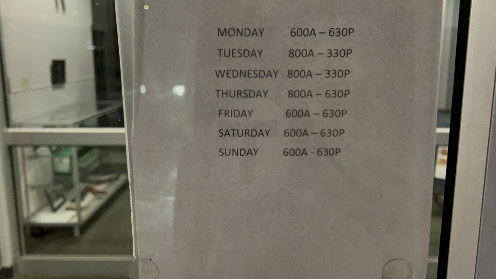
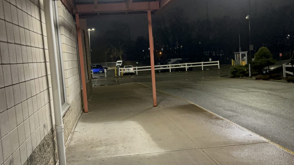
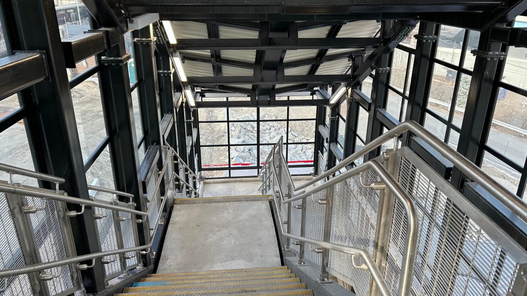
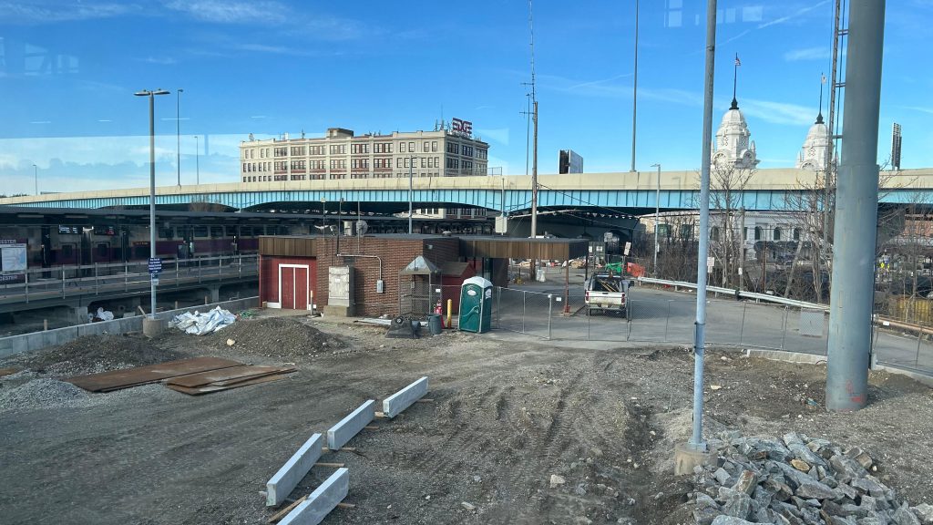
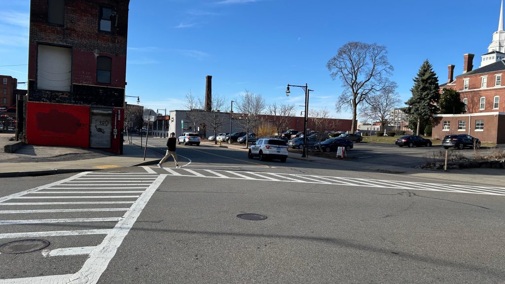
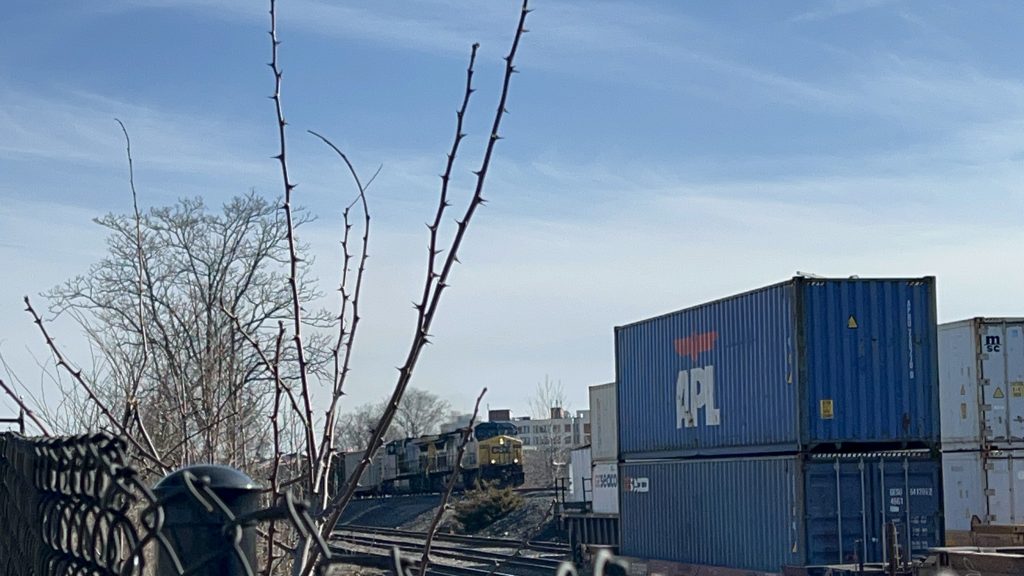
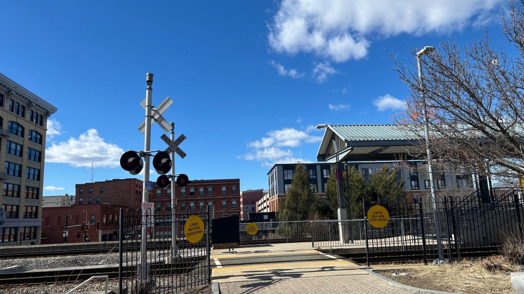
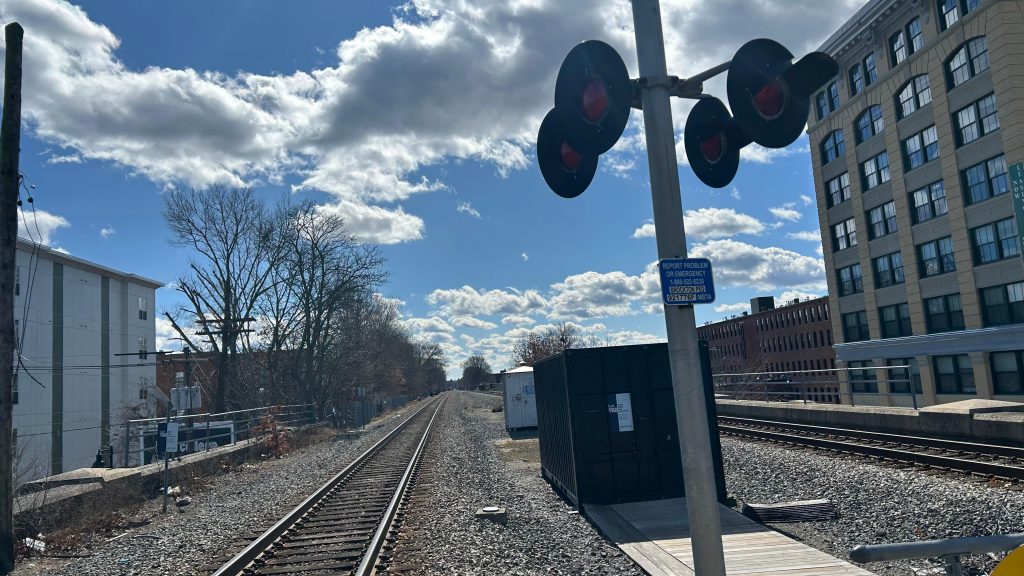
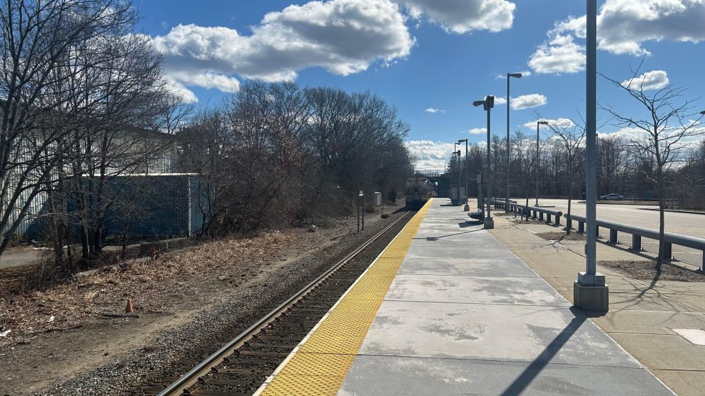
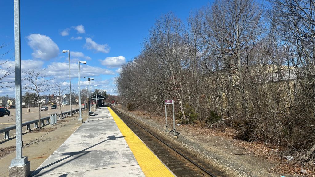
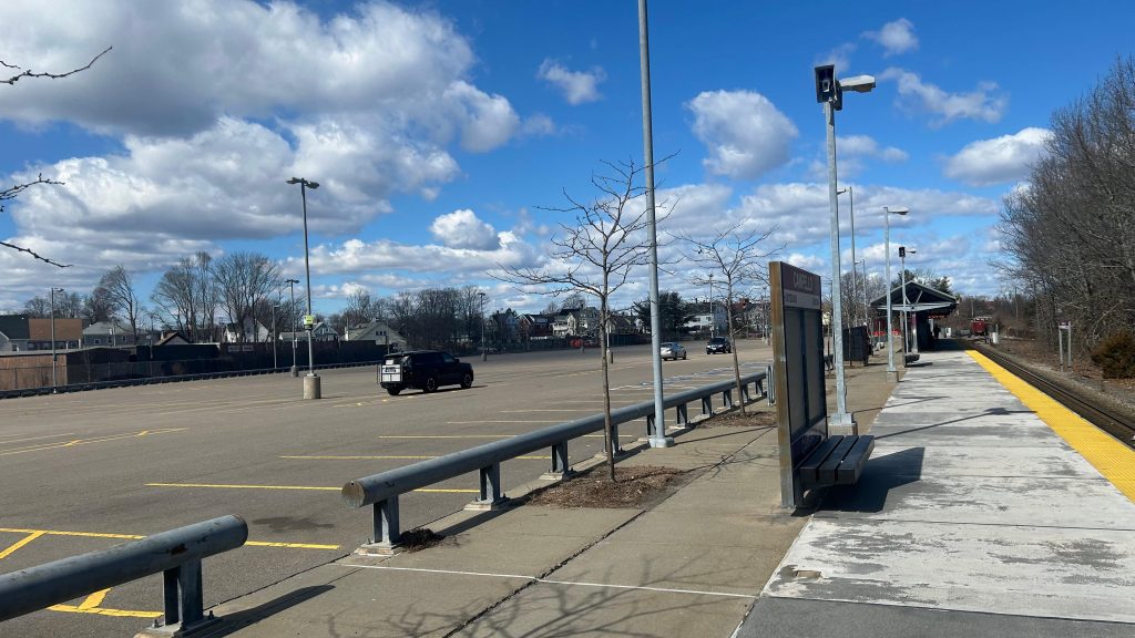
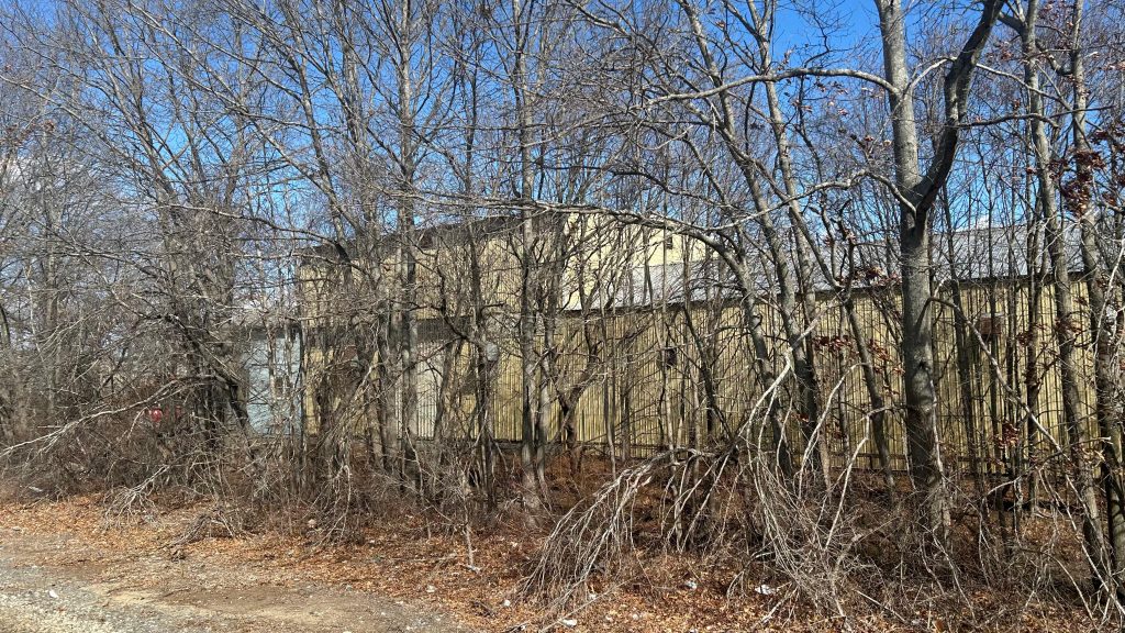
Angora Station is located on the outer fringes of southwestern Philadelphia, on SEPTA’s Media/Wawa commuter rail line, in the namesake neighborhood of Angora. It consists of rather little in the way of amenities (not even seating or a bus shelter?!), and even less in the way of accessibility. In fact, the only thing remotely ADA accessible about this (quite bluntly: shitty!) station is the bus connections, being the 46 between 63rd/Malvern and this station (where it turns!), and the 63 between Overbrook Station and Columbus Commons in South Philly. You might get a transit-accessible pile of rocks, if you’re lucky! As for inaccessible connections, you have the T2 trolley line on Baltimore Ave., of course. And, what amenities DOES this station have? …a Key Card machine. But, it’s not just any ordinary Key Card machine – because unlike, say, the ticketing machines on the LIRR, NJT, or Metro-North, these DON’T EVEN DISPENSE PAPER TICKETS! WAY TO GO, SEPTA!!! But, it’s also SEPTA. Of course they’ll do things in a rather weird and esoteric way. And, I think that’ll become abundantly clear in some coming entries within SEPTA territory… *wink wink, nudge nudge*
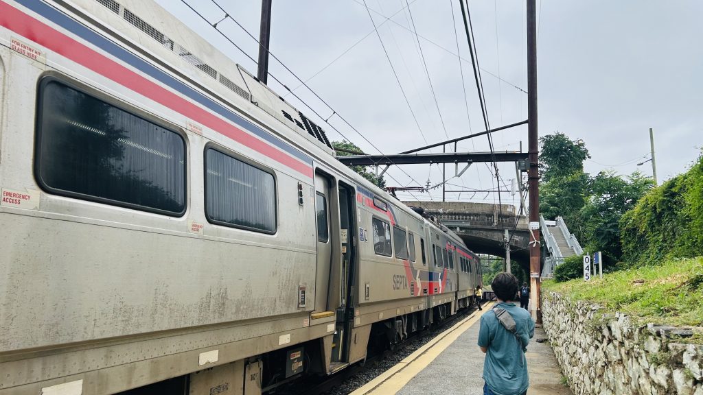
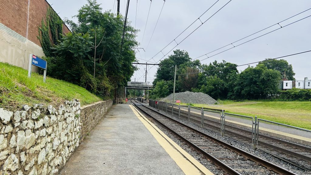
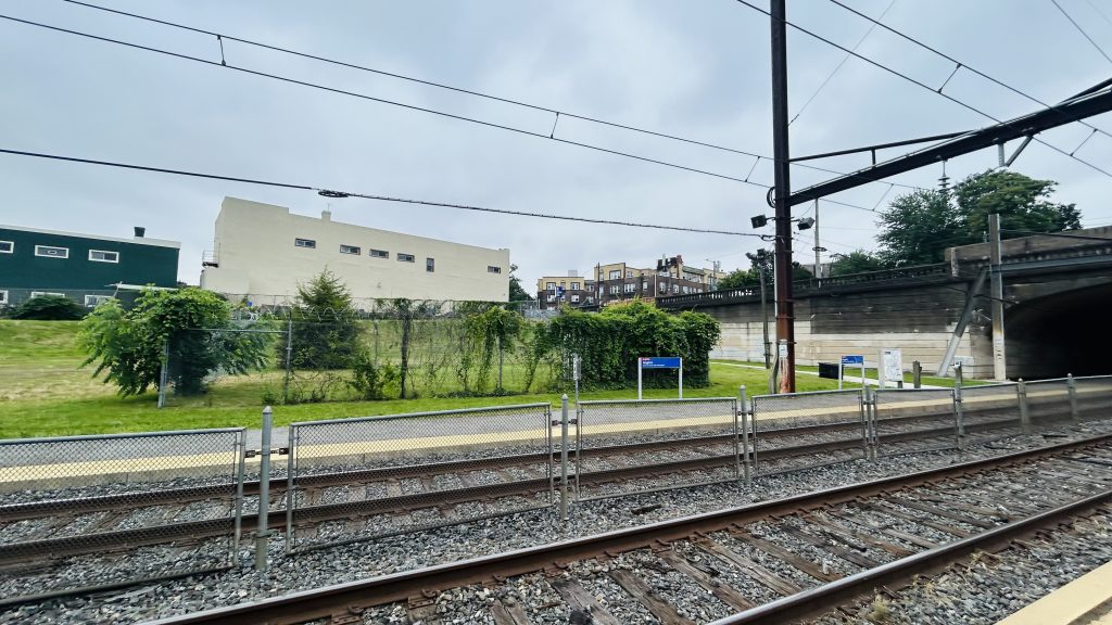
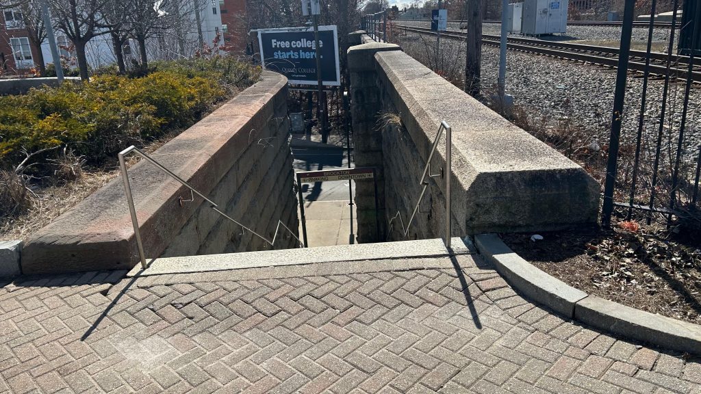
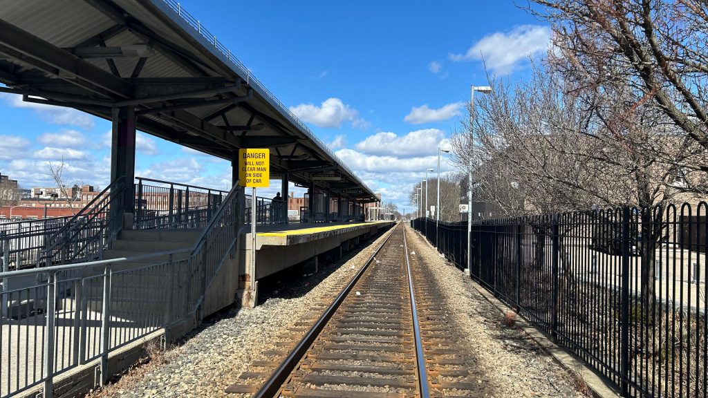
hmm i wonder who’s filming the Silverliner V…And looking towards downtown- er, Center City Philadelphia.ABSOLUTELY NOTHING!!!!!!And onwards to Wawa Station with you!An exit and the street – and lighting, I guessGraffitied lollipopThe T2 streetcar line
The good: …it exists, I guess??? You might see a pile of rocks if you’re lucky!
The bad: Why? Just, why? There is no station house or even amenities. It’s like they forgot the station itself. It’s like it’s just a point on a map where Silverliners stop. What kind of illicit substances were they smoking??? Even the Newton trio is better, because even THOSE had amenities.
Nearby points of interest: A number of churches and mosques, a shopping plaza (w/ a Dunks!), and A LOT OF HOUSING.
Transit connections: SEPTA Regional Rail (Media/Wawa) SEPTA bus (46, 63 – both at Baltimore & 58th) SEPTA Metro (T2 – at Baltimore & 58th)
Overall, just…..why??????? What were they smoking? This is easily among the most “what the hell?” stations I’ve ever used. Just use fucking 46/63 (or the T2, if able-bodied) instead, if possible.
Rating: 0.2/10
Stay tuned, as A LOT more SEPTA (& NYC, and even some NJT) content is coming up in the coming weeks and months!
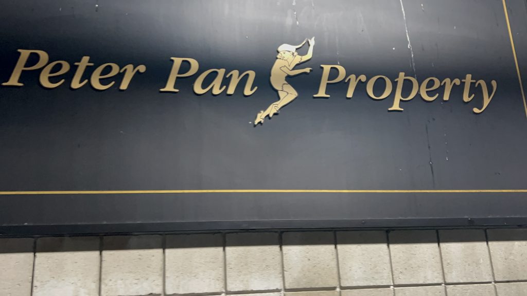
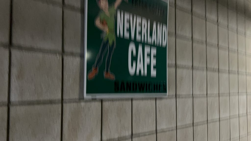
hehehehehehe y’all thought I wasn’t going to cover Peter Pan? Well, here we go. To popular demand, here’s the Peter Pan terminal in Providence.
Oh golly
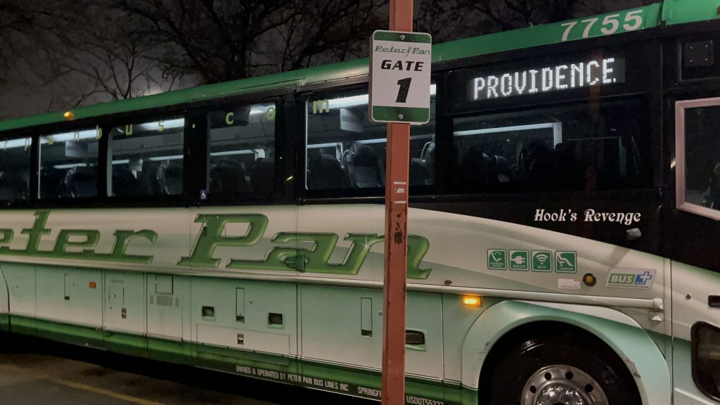
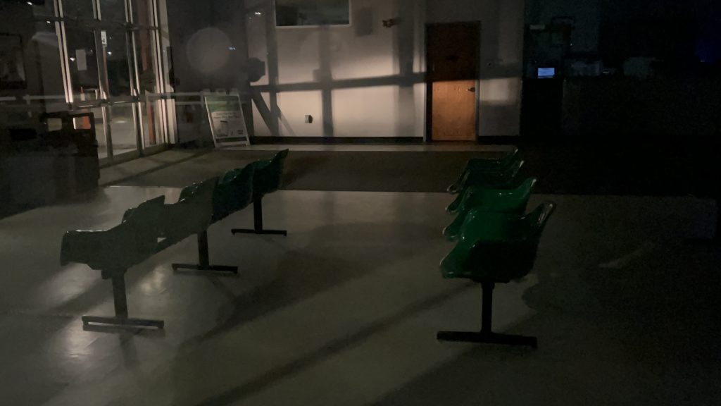
So, the terminal isn’t conducive to anything given this is privately-owned. The place was closed when I was here, but this was the only opportunity for me to review this. There’s a waiting room, bathrooms, a ticketing counter, and the usual stuff. There’s also several bus bays and a decent amount of parking. Overall, it’s okay.
Bus.The barren waiting roomParkingDamn, not even past the last bus’s arrival?Sheltered area and parkingA cafe?
The good: It exists, I guess. It’s Peter Pan’s main base of operation in RI.
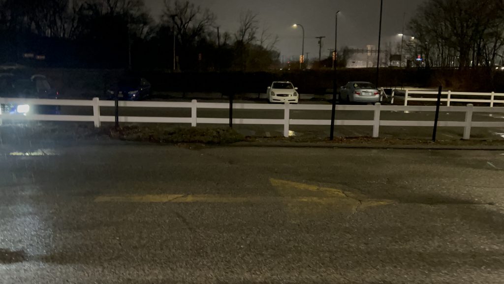
The bad: It’s kinda isolated from the rest of RI’s transit network. The walk to the nearest bus stop (an R Line stop) is about 10 minutes – half a mile. It’s also not in the most inviting location, and feels kinda sketchy at night, to be quite honest.
Nearby points of interest: Providence. The R Line is right there.
Transit connections: Peter Pan
Overall, I think I have seen better. The station is kinda sketchy-feeling at night, and while Peter Pan itself isn’t the worst, I’d rather take RIPTA and the Commuter Rail any day if I can help it.
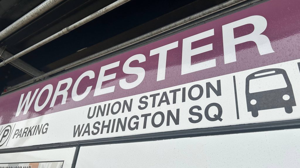
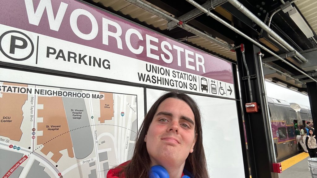
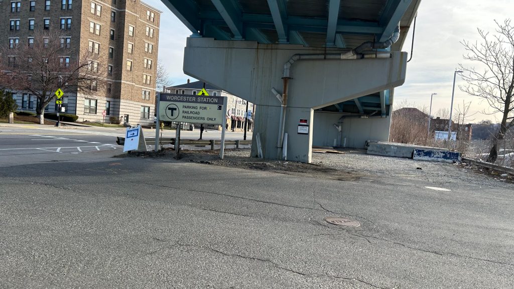
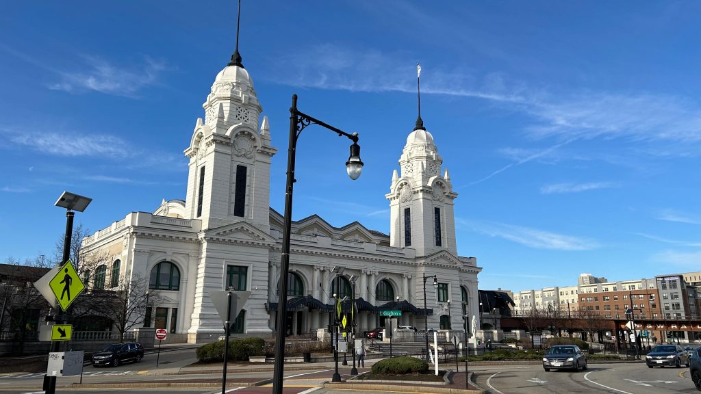
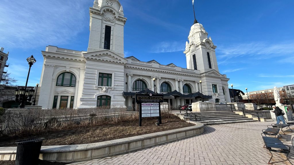
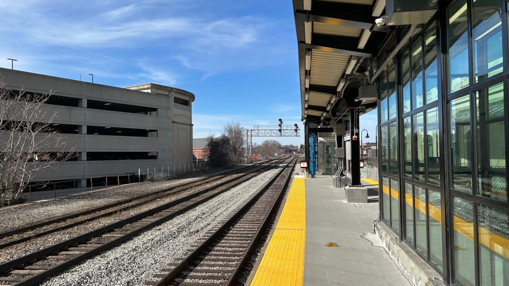
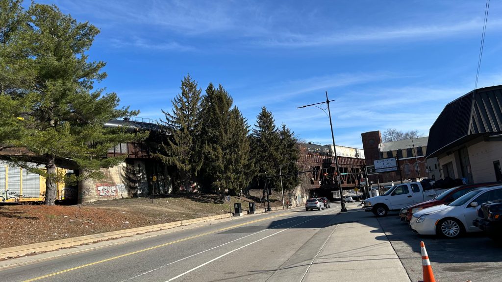
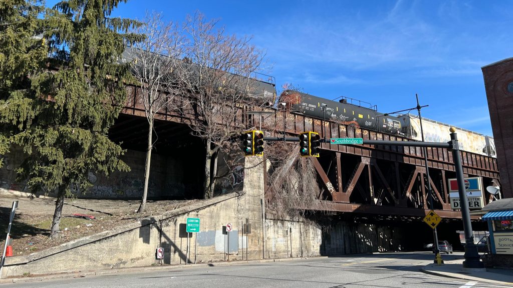
Oh, how far we’ve come…the final entry of the Commuter Rail saga (well, aside from the entries about the lines themselves – but I’ll worry about that post-South Coast Rail…, also aside from the six South Coast Rail entries that will be dropping over the next couple weeks). And, no better way to finish off than what is quite literally the final boss: one of the busiest Commuter Rail stations on the system, at the end of a line that connects the two largest cities in all of New England (yeah, sorry Providence, but you aren’t that far behind circa the 2020 census – only about 15k people difference!). This one, surprisingly, was VERY difficult as well, having taken two attempts. With that in mind, here we go. The end of the MBTA’s Worcester Line, a surprisingly not very busy Amtrak stop (out of 11, the 3rd least-used stop in the entire state as of Amtrak FY’23), Worcester’s Peter Pan and Greyhound stops, …and a bus stop for both the PVTA and MART??? Huh, odd. Needless to say, with all that in mind, here we go!
ATTEMPT #1: SIGNAGEHi from the belly of the beast!
ATTEMPT #1, 2025-03-15: I woke up at the asscrack of dawn, hoping to utilize the 40 minute turnaround period to do this station review. Unfortunately, due to unexpected interlocking work in Westborough area, this didn’t pan out. We held at Southborough as the inbound train was wrong-railing through HALF OF THE LINE, which took a while. Then, we proceeded up once the train cleared, the engineer had to ask for verbal permission for a NORAC Rule 241 (to those not versed in railroading jargon, a Rule 241 is permission to pass an absolute stop). This……took a while, and when all was said and done, we finally got to Union Station. However, I only had 3 minutes to do much of anything. And, since the next train was in 2 hours…I was fucked. Why? Well, I had made plans to ride Brooke’s train and to spend the day with Nat as well, and having to arrive back into Boston at almost 1PM would have derailed this greatly. So, back to the drawing board I go, to attempt again with my entire morning cleared out, as my only other real options for handling this were to either throw away my errands for the 17th (not happening as laundry takes a while) or to wake up at the asscrack of dawn on the 22nd (this was the only other viable option). With that in mind, I’d have to trudge on for another week before I could attempt to tackle this beast again.
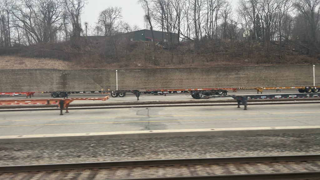
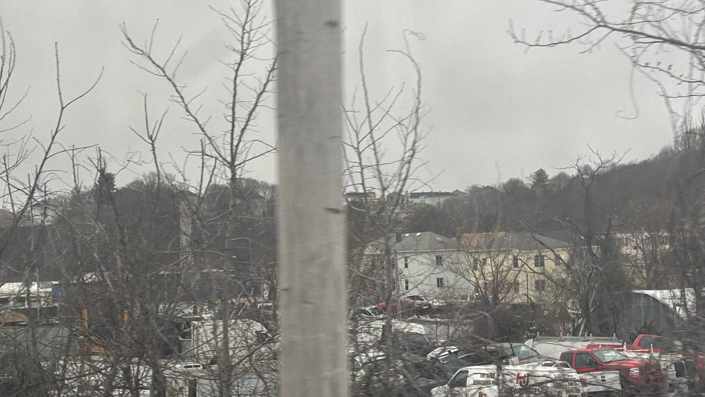
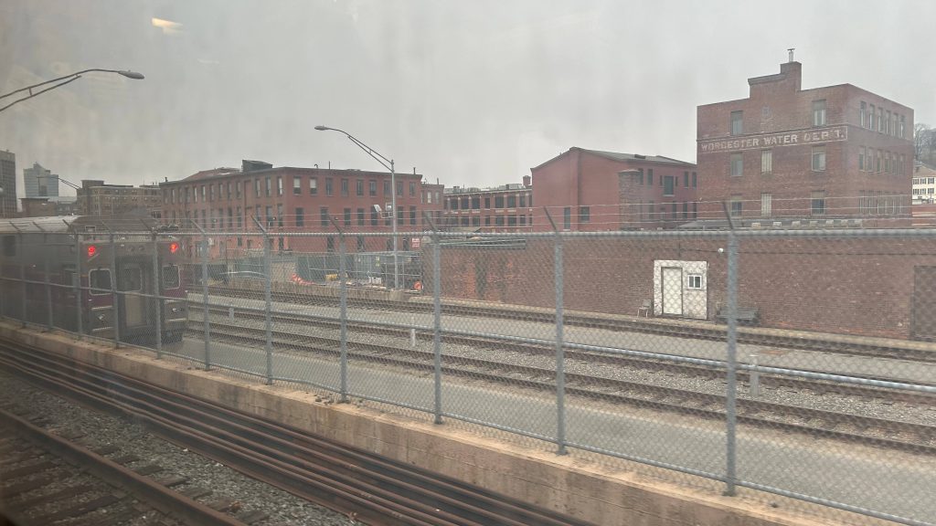
The CSX yardMore residential bits of Worcester!The MBTA layover facility!Union Station!Another shot of the stationInterstate 290!Damn you…I spy an overpass…
ATTEMPT #2, 2025-03-22
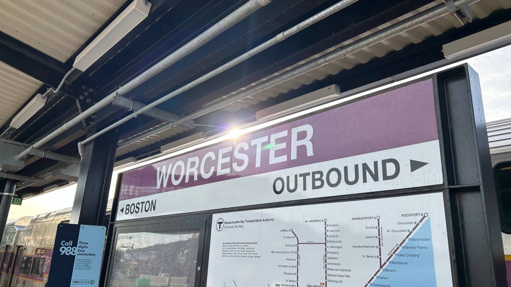
SIGNAGE: ATTEMPT NUMBER TWO.
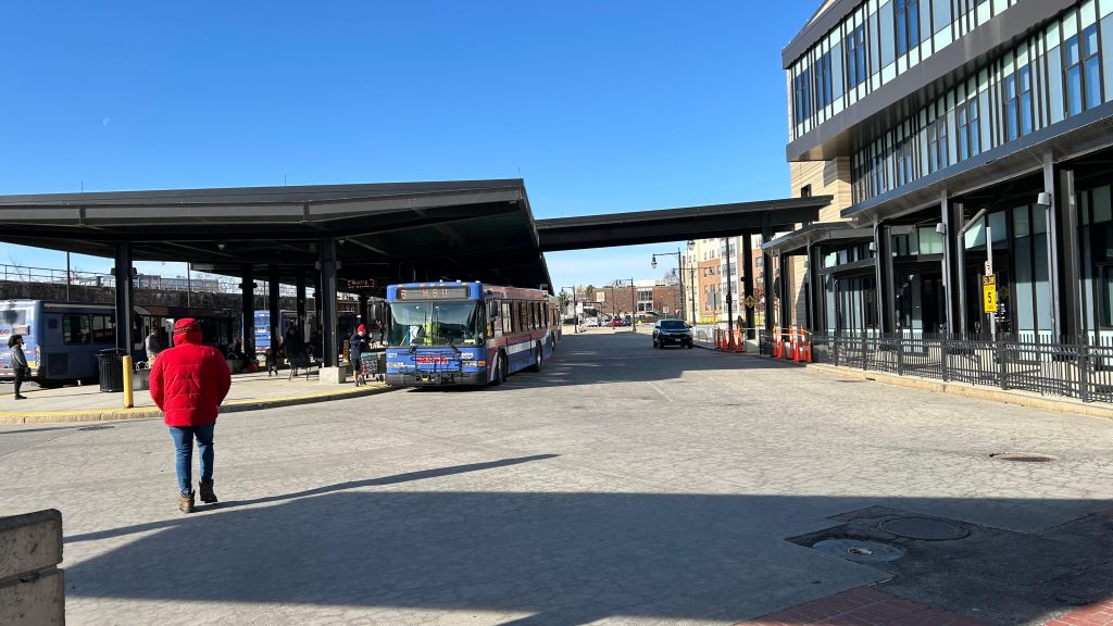
So, after my last attempt got botched horrifically due to UNEXPECTED TRACKWORK IN WESTBOROUGH AREA, I had to come back up. And, given the fact the opening of the South Coast extension was imminent, I figured today (2025-03-22) was a good day to dry run waking up at such an ungodly hour (2am!!!!!). With that in mind, I hopped on the first Commuter Rail train of the morning, changed at South Station (rather than Back Bay), and pressed on all the way to Worcester. This time, I not only carved out 2 extra hours in my schedule, but also took my sweet time with this one. It’s the last entry, for crying out loud! So, with a smooth arrival into Worcester Union Station, here goes nothing.
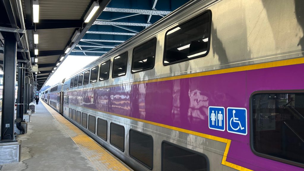
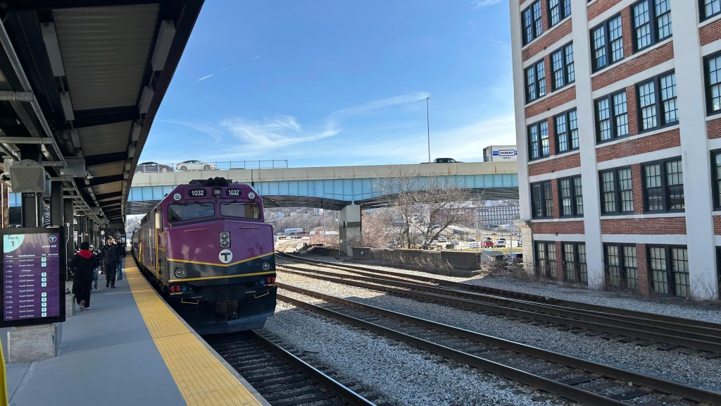
Train. All bilevels!I fucking did it.Looking down the platformThe PA system
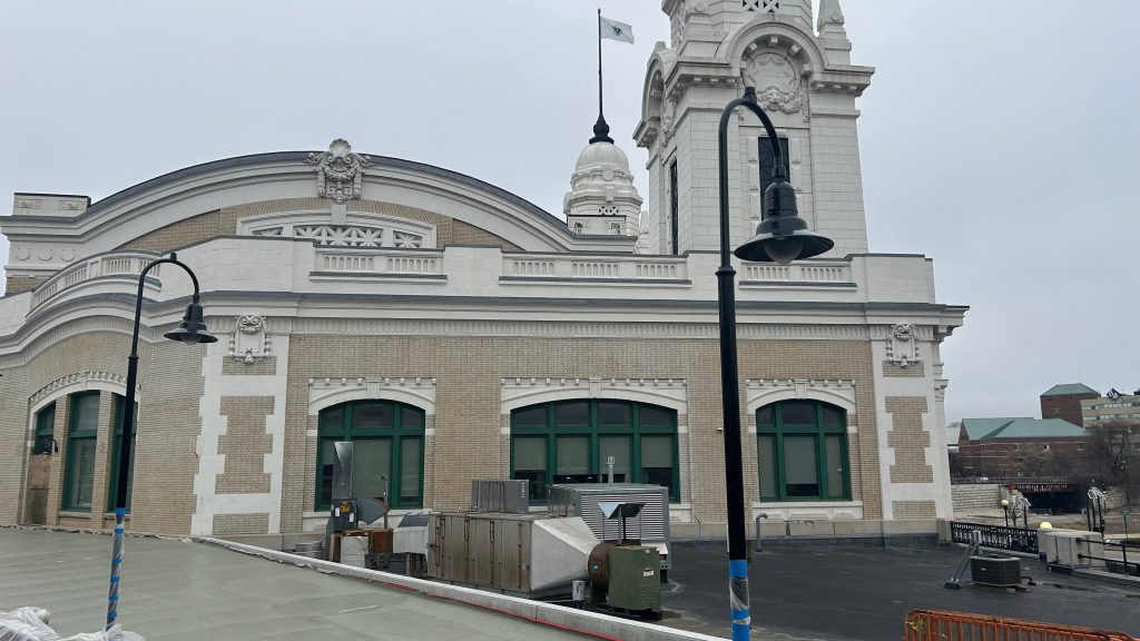
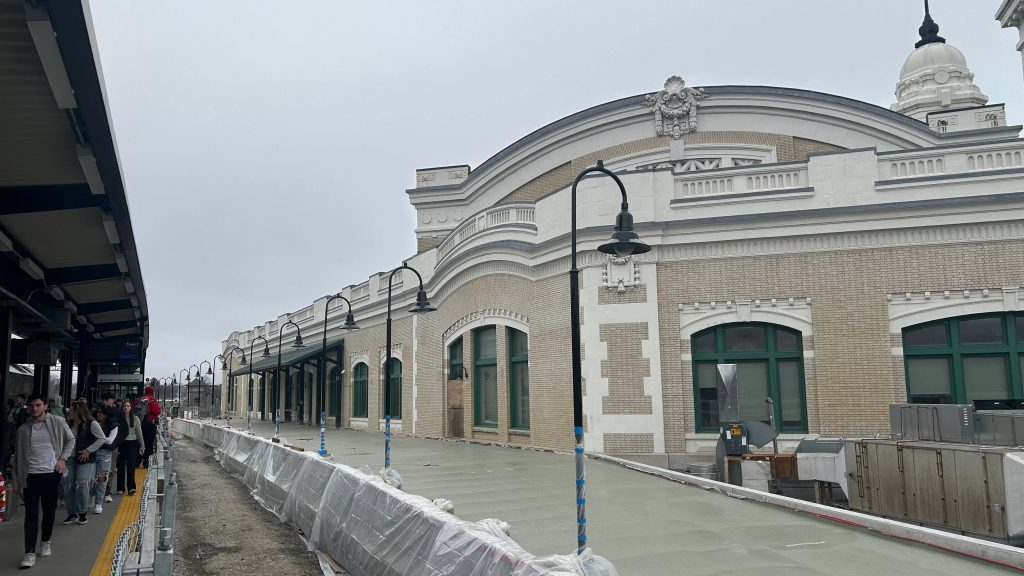
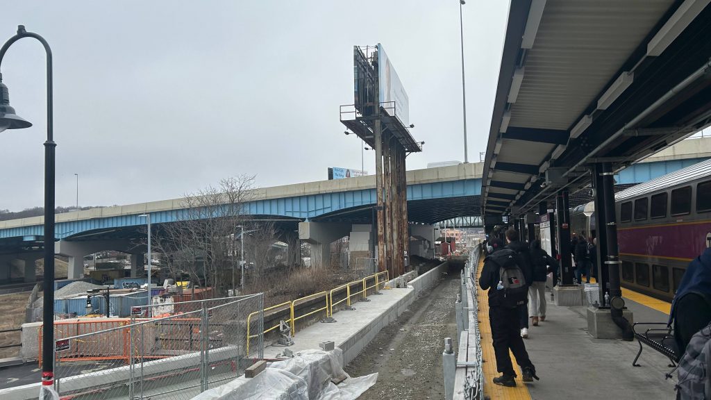
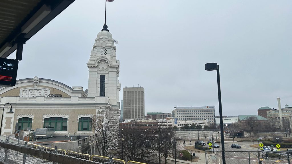
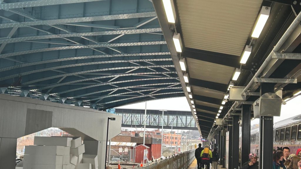
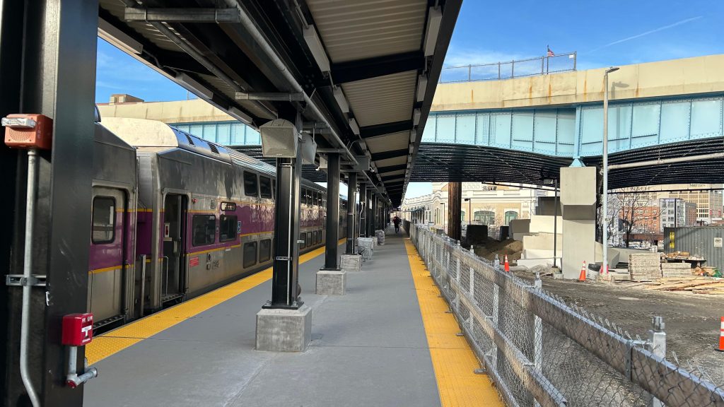
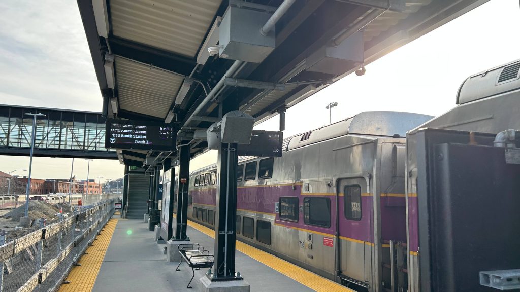
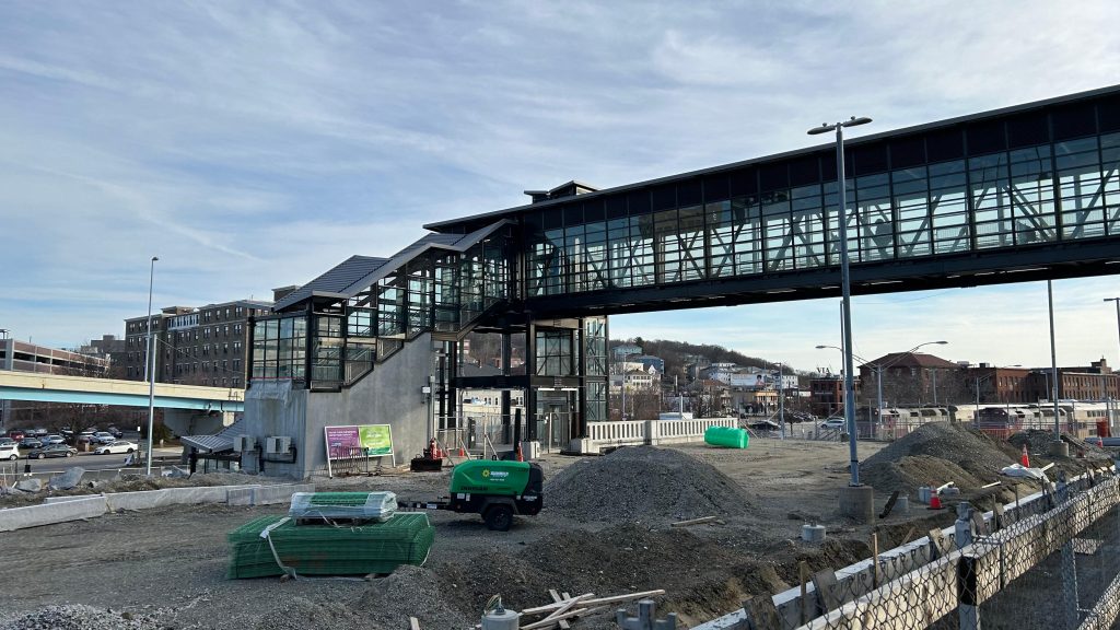
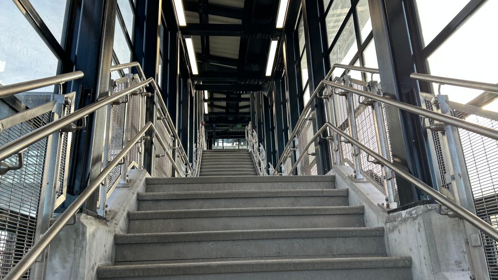
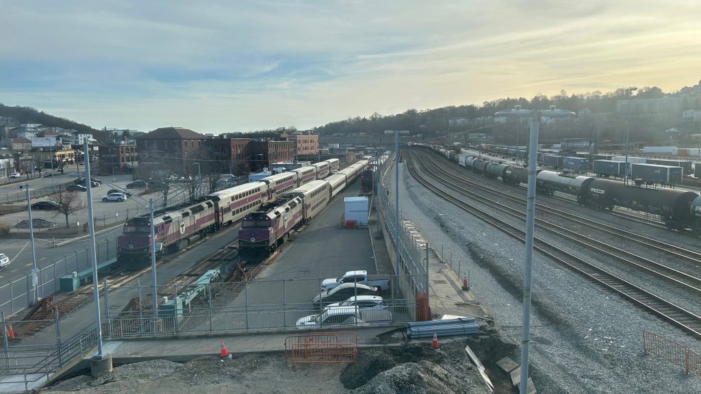
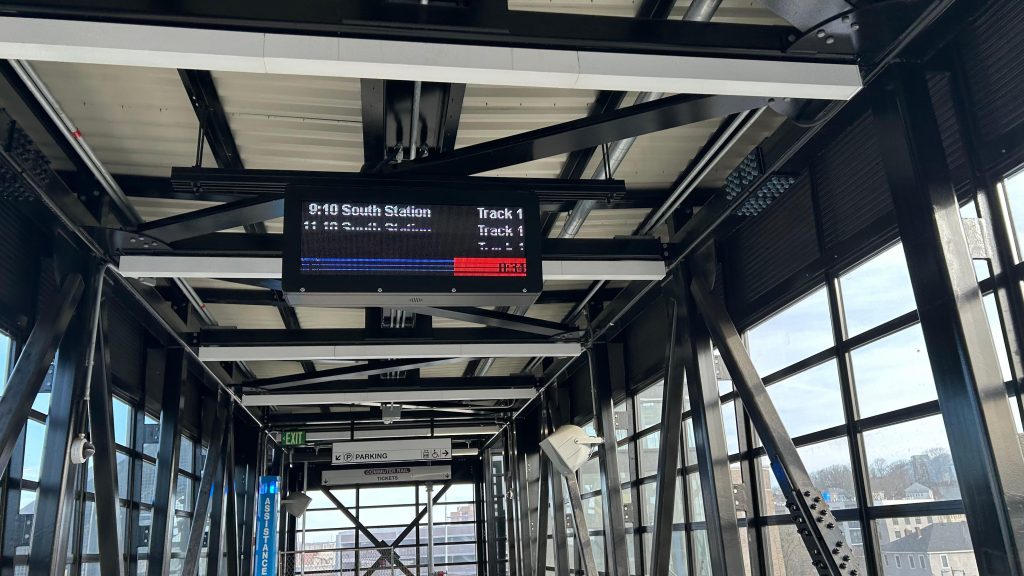
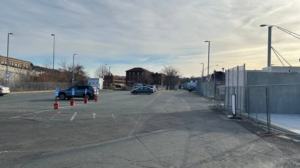
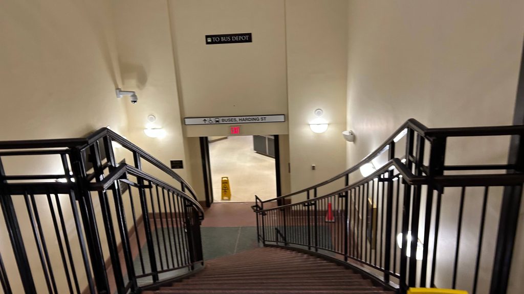
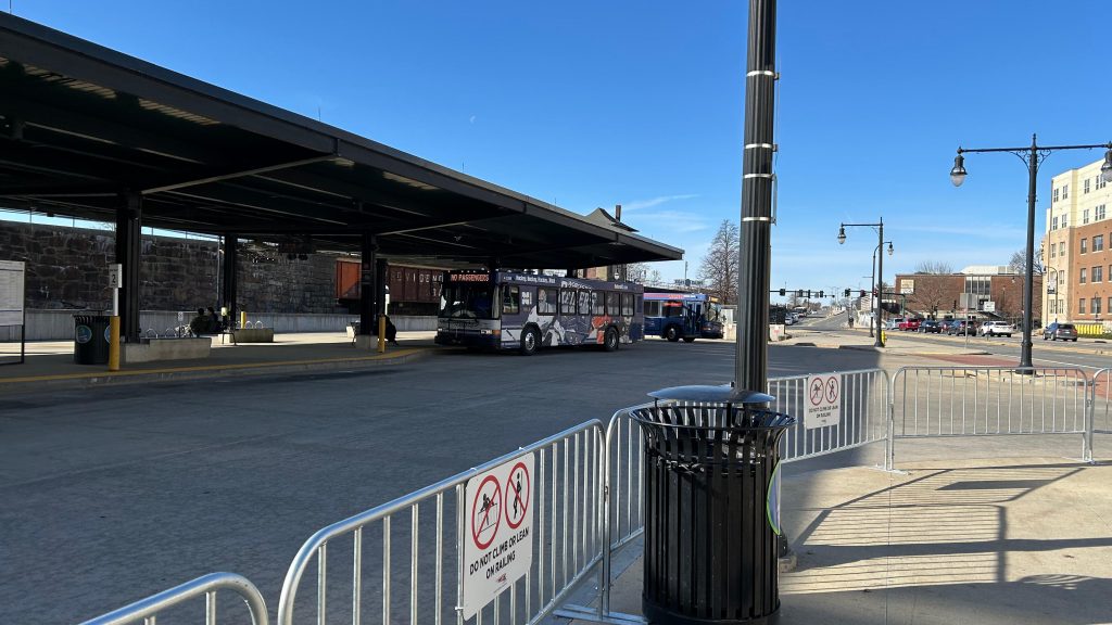
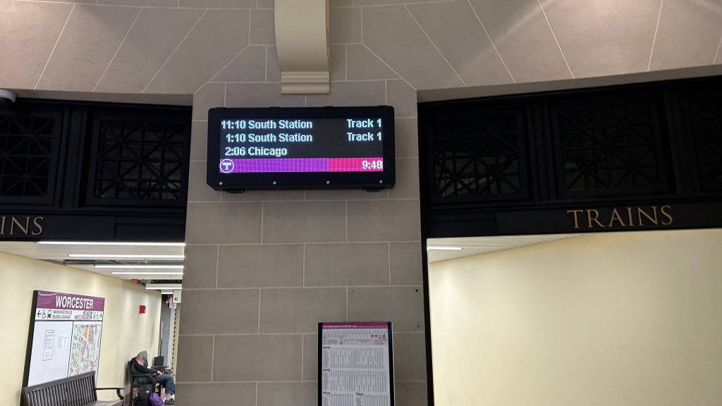
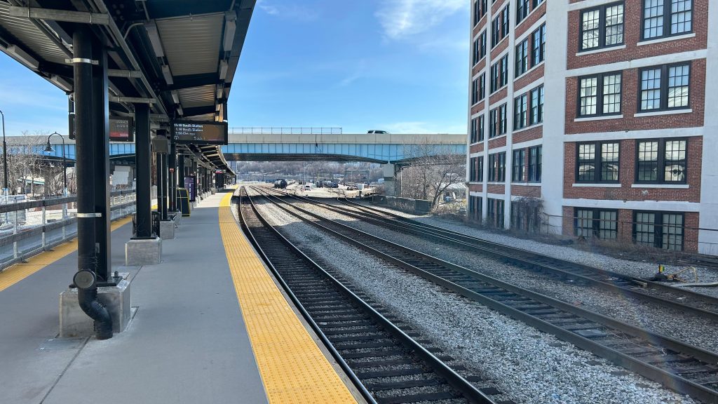
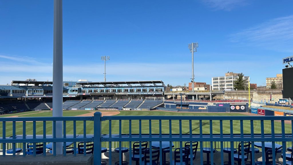
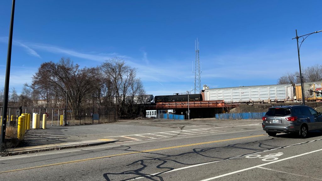
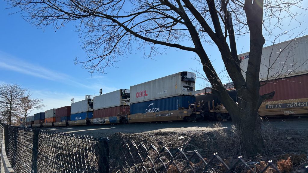
The platform was decent – the PA system is pretty beefy despite the fact that: 1. only commuter trains stop here, and 2. only one Amtrak train leaves here each day (the Lake Shore Limited to Albany & Chicago). Benches line the platform, as does even proper countdown clocks ala what you’d see at Back Bay???? DAMN. I went to check out the pedestrian bridge and it was actually decently filled – as there was a departure board up there. Well shit, that’s ACTUALLY pretty helpful! There’s also a provision for a second track (does not exist presently), and I think the plan is to build said second track so more than one train can serve the station at a time. This would be important for the proposed East-West Rail proposal that would connect Boston with Springfield, the Berkshires, and Albany. There’s even a decent amount of surface parking to go around – and you can also see both the Commuter Rail and CSX yards from here as well. Cool!
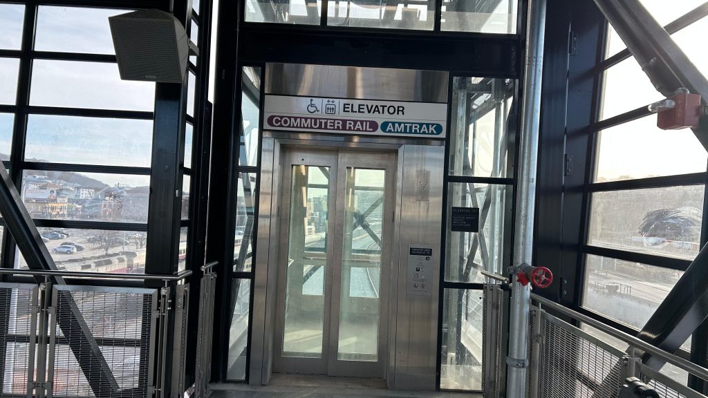
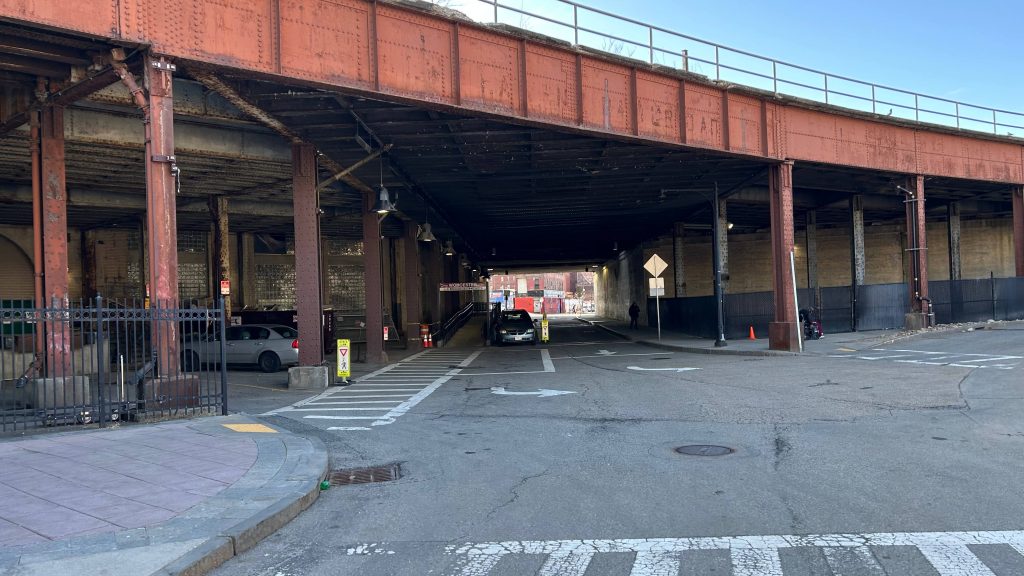
Schedule and mapOVERPASS!StairsElevatorCommuter Rail yard front and center, CSX to the right!Departure board!I didn’t see any ticketing machines in the overpassBack downAN AMSHACK?!Elevator at street levelSurface parking – probably primarily intended for crew membersLooks a little sad under the Shrewsbury St. exit rampDowntown!
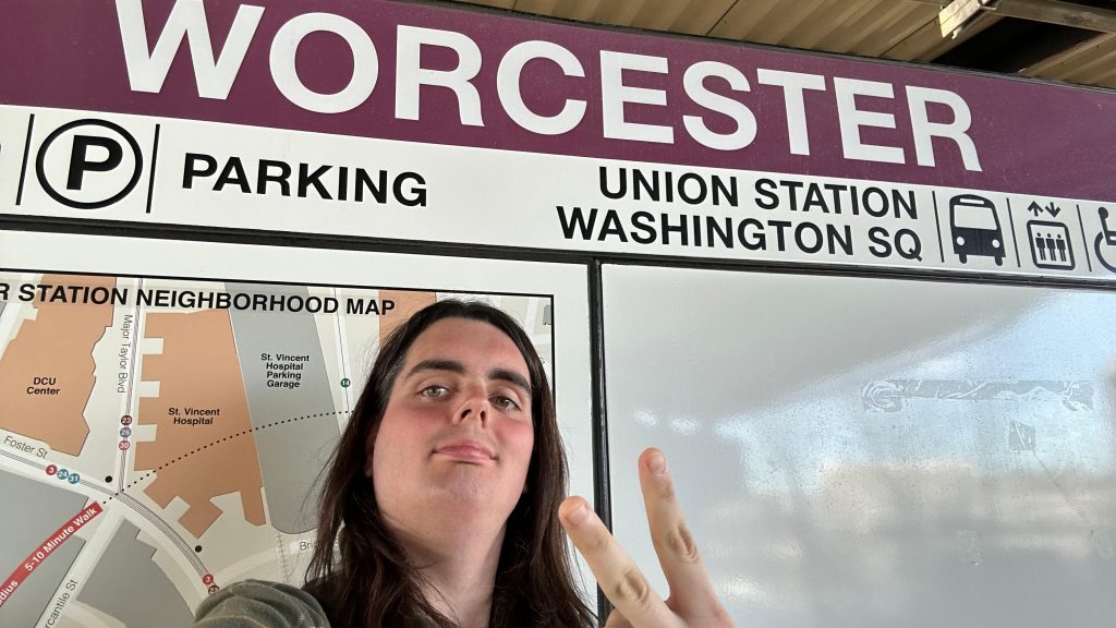
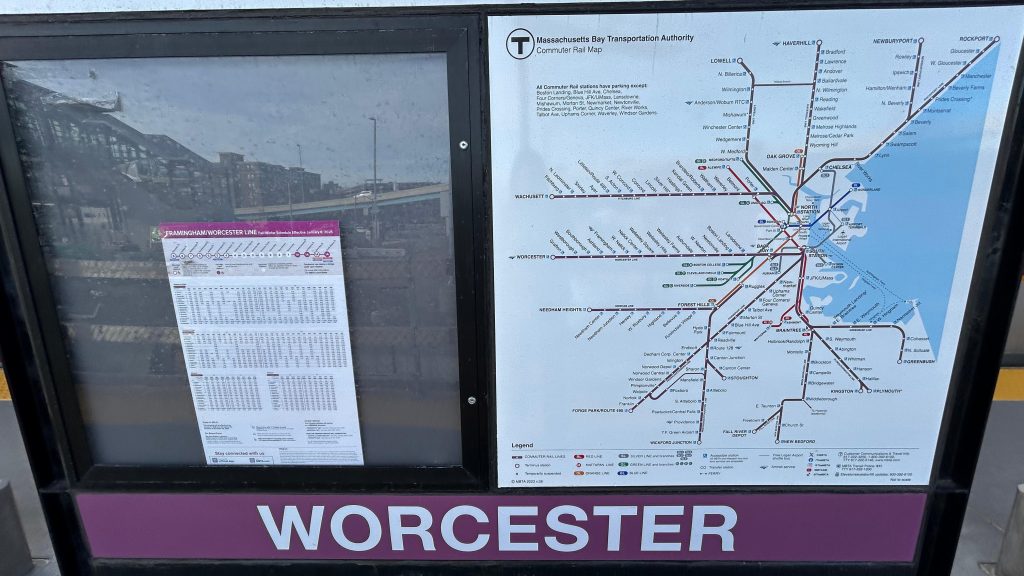
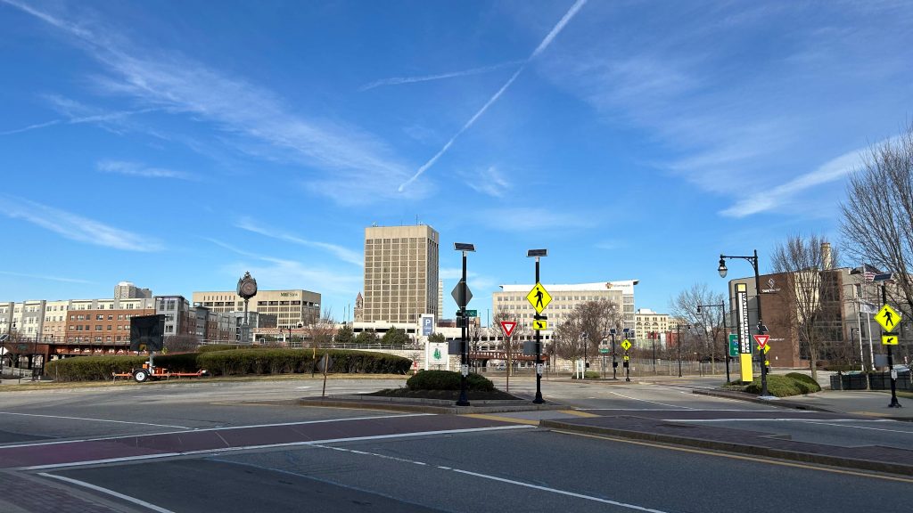
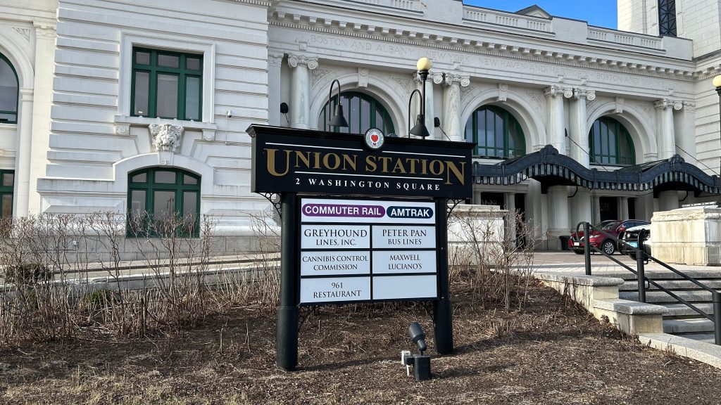
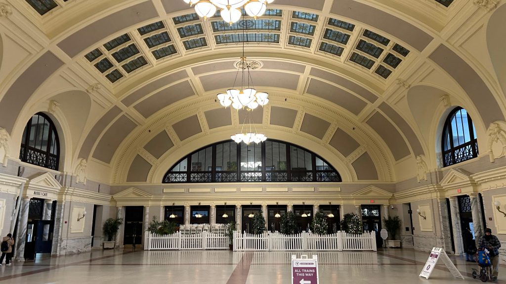
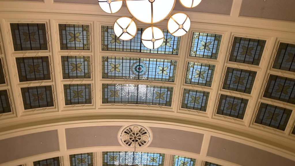
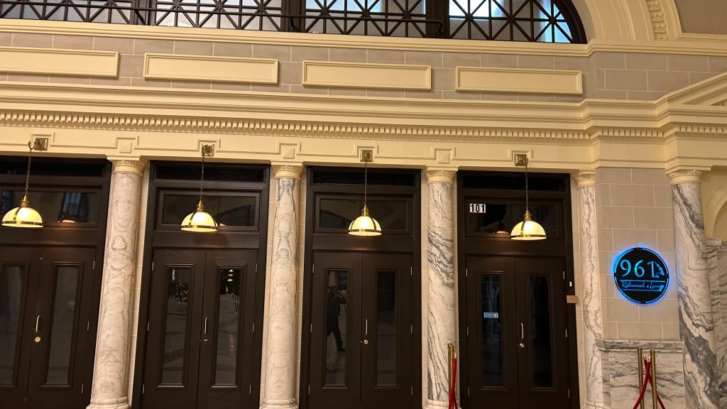
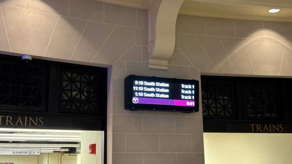
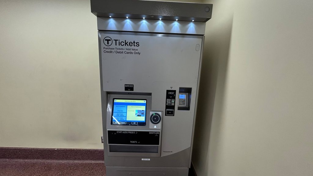
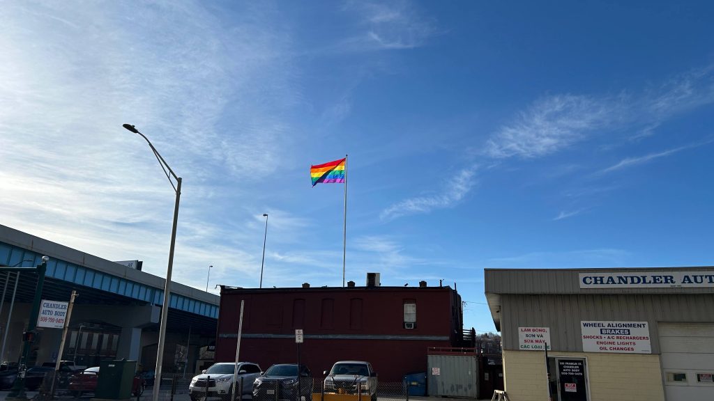
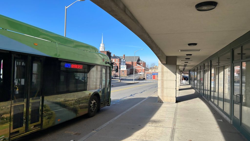
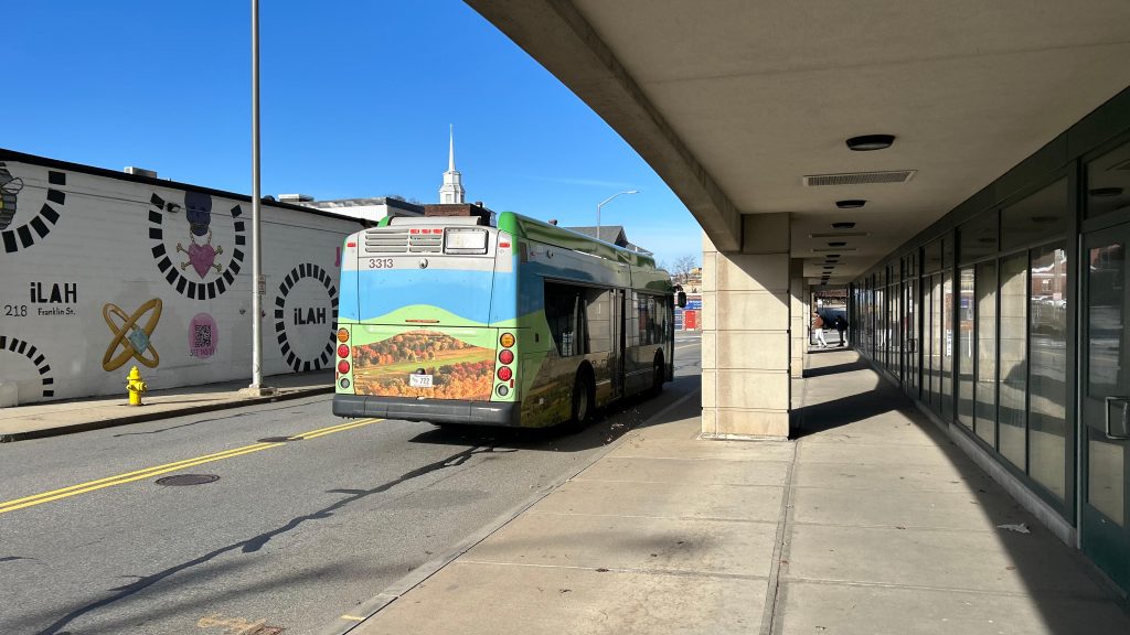
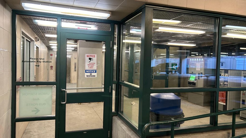
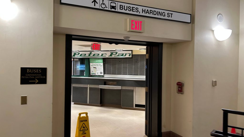
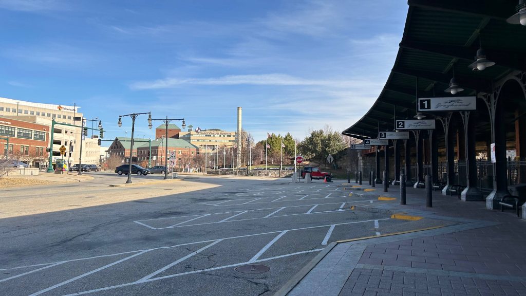
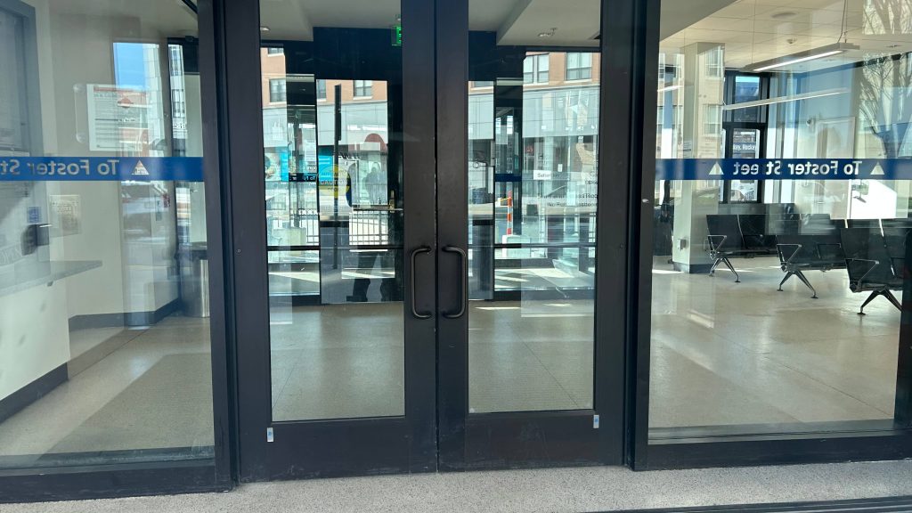
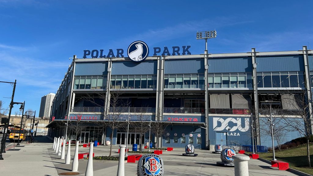
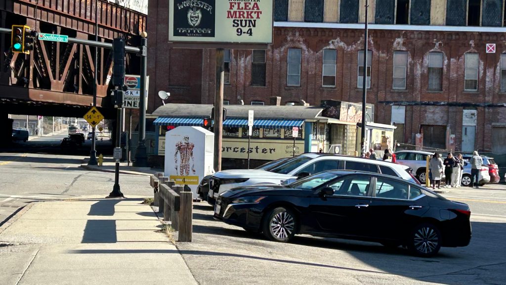
Now, if this was all said and done, I’d easily give this at least a 7 or an 8, by virtue of being a nice and modern, if single-tracked when it should be double-tracked, terminus station. But, there’s more. Union Station is well known for having a grandiose hall and waiting area, with a parking garage, intercity buses, and the WRTA’s main hub as well. The main hall has a couple of food tenants, restrooms, and can even be rented out for events. MART’s Clinton/Worcester shuttle is apparently prescribed to pick up at the front door of the event hall. Further in, you have a departure board INSIDE the station, a Worcester PD substation, a CHARLIECARD MACHINE(?!) – YES, YOU CAN ACTUALLY RELOAD YOUR CHARLIECARDS AND BUY COMMUTER RAIL TICKETS OUT HERE!, and even the main WRTA bus hub is out here. That isn’t too special to ring home about, as it’s got several sheltered berths and benches and the usual. Vs. something like BAT, the WRTA doesn’t have their shit together nor do any of their routes have live tracking with GTFS. At least with BAT, the schedule is padded to Hell and you have The Pulse. No such thing exists here. However, the WRTA DOES have an indoor waiting room. It’s passable! Oh, yeah, the PVTA’s B79 bus to ZooMass (UMASS Amherst) stops at the intersection of Harding and Franklin. Neat!
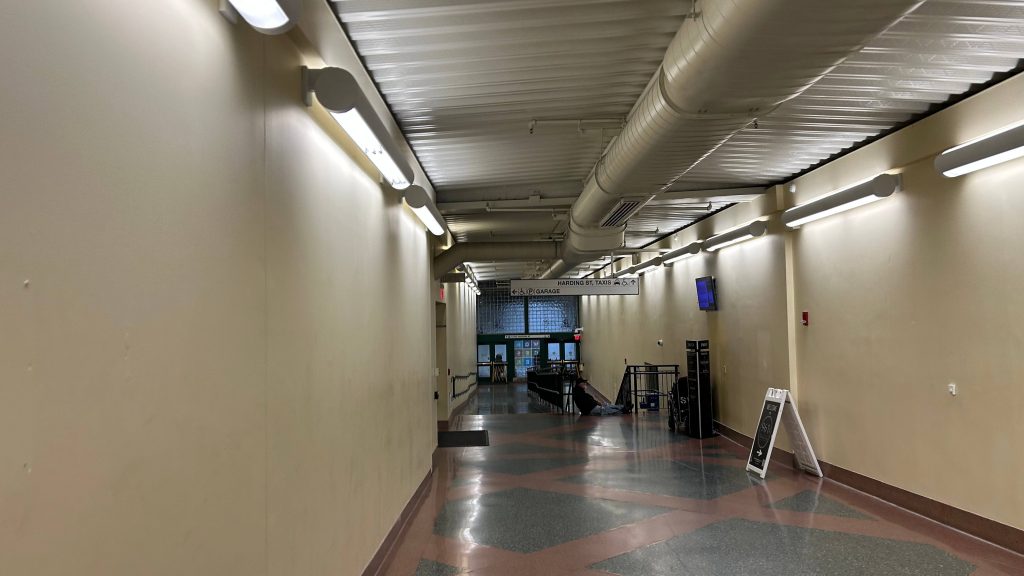
Woah…One shot wasn’t enough.Nice it acknowledges both intercity buses and Amtrak tooThe main hallThe ceilingA businessA DEPARTURE BOARD?!A TICKETING MACHINE?!Tunnel to the WRTA and intercity busesStreet level!Railroad overpasses galore!That’s something alright.BUS connection – but it doesn’t tell you the B79.the flag of my peopleYEAH BABY THE B79!!!ROUTE B79 SERVICE TO UMASSANOTHER ONE IN THE PARKING GARAGE?!StairsThe shuttered Peter Pan ticketing officeIntercity buses! Amtrak’s Thruway uses this too!Green Street!The WRTA!BUSES!It’s average. Passable.Things have changed…Towards Springfield, Albany, and ChicagoAnd back towards BostonThis train sharted itself on my way back 🙁
The good: A lot! It’s got a gorgeous station house, ticketing machines (nonexistent otherwise!), decent connectivity with intercity and local buses, signage that acknowledges the existence of Amtrak (where’s that at Framingham?!), a modern platform, overpasses with departure boards, departure boards in the main hall, a waiting area for the WRTA that’s open to the public, and is pretty well-located, being in downtown Worcester.
The bad: Signage for the PVTA and MART would be nice! I don’t have anything bad to say otherwise.
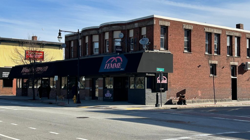
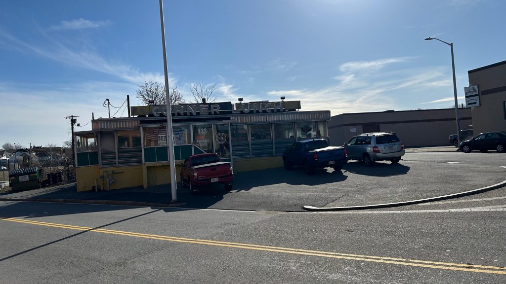
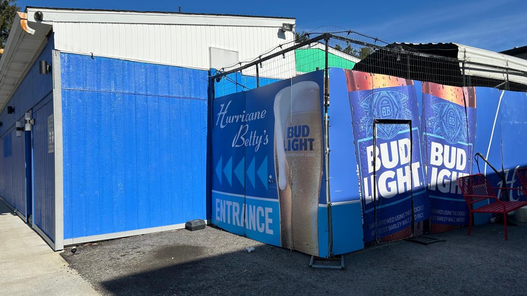
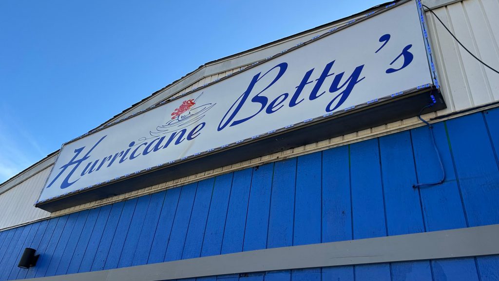
Nearby points of interest: Well, given this is in downtown Worcester, a lot, actually! I mean, you have everywhere the WRTA can bring you, ranging from several Walmarts, to where Higgins Armory used to be (RIP), Quinsigamond CC, Clark University, the Blackstone Valley Shopping Center, even out to places like Shrewsbury, the Auburn Mall, Southbridge, and even freakin’ Brookfield. Unfortunately, I can’t comment much as I haven’t ridden the WRTA much. Oh yeah, you can also get to Amherst and Ware via the PVTA’s B79 bus here, and MART runs a commuter shuttle from here to Clinton at peak hours, and express to Leominster and Fitchburg offpeak. As for thing closer to walking distance, you have Polar Park (home to the WooSox), the DCU Center, Femme (lesbian bar – yes, Ben, I will visit at some point), the Miss Worcester and Boulevard Diners, on Southbridge and Shrewsbury Streets, and even SWEATY BETTY’S (kids not allowed).
Overall, I genuinely think this is deserving of the coveted 10/10 rating. I mean, I got nothing against it whatsoever, I can’t even think of anything bad to say about it, and it’s probably the single best station on the MBTA network.
And, with that, that concludes “Chelsea Visits Every MBTA Rail Station”, I guess. I mean, I have the CapeFLYER, a few Amtrak stops, and a CTrail station in the Commonwealth. I still have the entirity of Metro-North and the LIRR, NJT, the MTA subway, PATH, SEPTA, Maryland MTA & MARC, and even WMATA and VRE. As for the future of this blog, I’ll probably mainly slowly hack away at buses, the likes of other Amtrak and commuter train stations, and possibly even do a cross-country adventure or two. I mean, as of writing this, the opening of South Coast Rail is imminent so that still remains otherwise, for the MBTA. And, I’d also like to give a shoutout to everyone that’s come along, including people that went through the trouble of going through these stations with me. Thank you all for joining along for the ride, and stay tuned because….
NEW BEDFORD IS NEXT.
Rating: 10/10
FEMME!POLAH PAHK!long live the PawSox…I get the feeling that all the new development is because of the WooSox…That’s a massive overpassD I N E RThe ex-NY Central’s line to Boston…OH-OH GOD IT’S SWEATY BETTY’SSomething about this feels very imposing…MISS WUHSTUH!This feels REALLY imposingThat’s a lot of freight…HERE COMES A GEVO (i think it’s a GEVO?)Downtown!
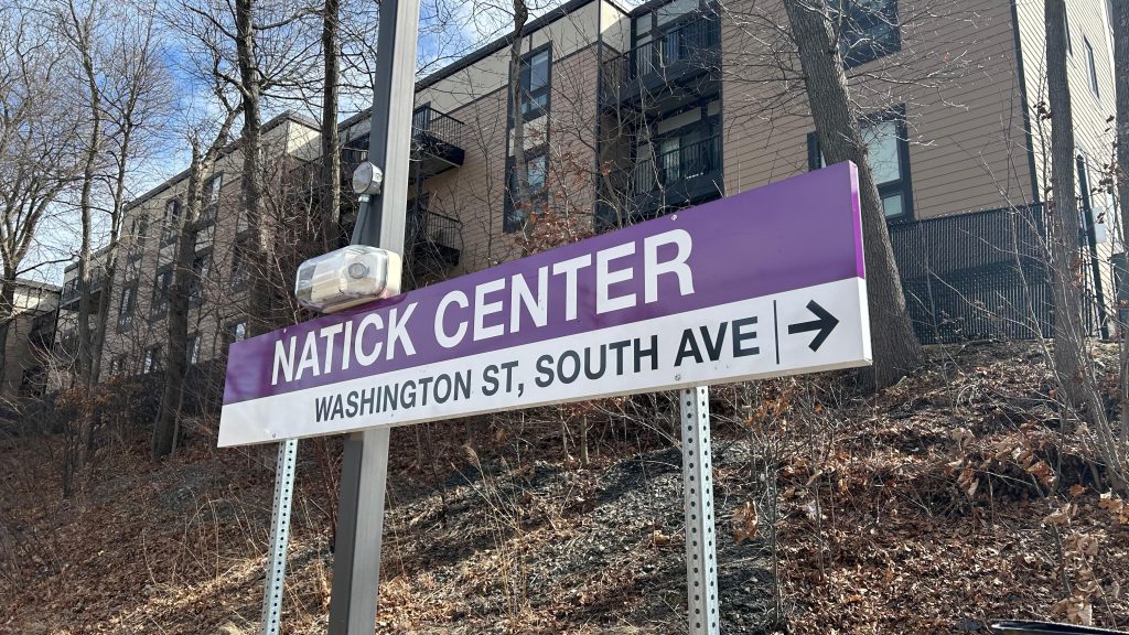
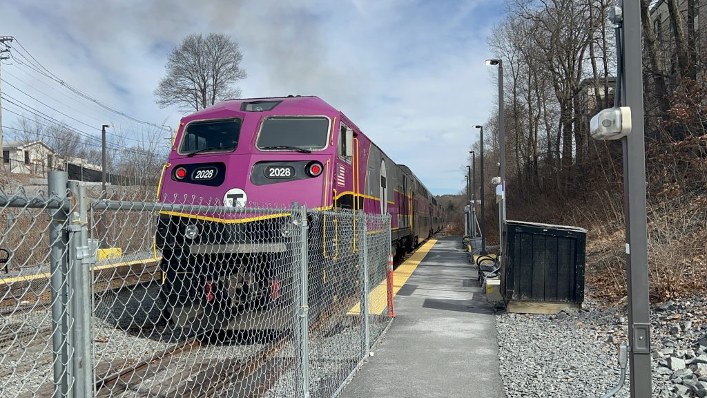
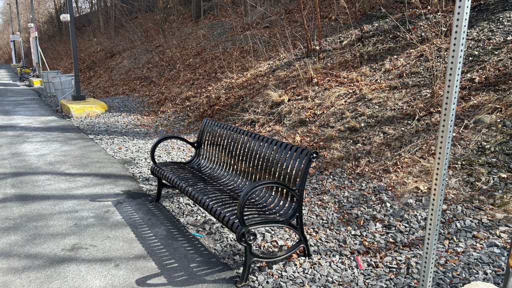
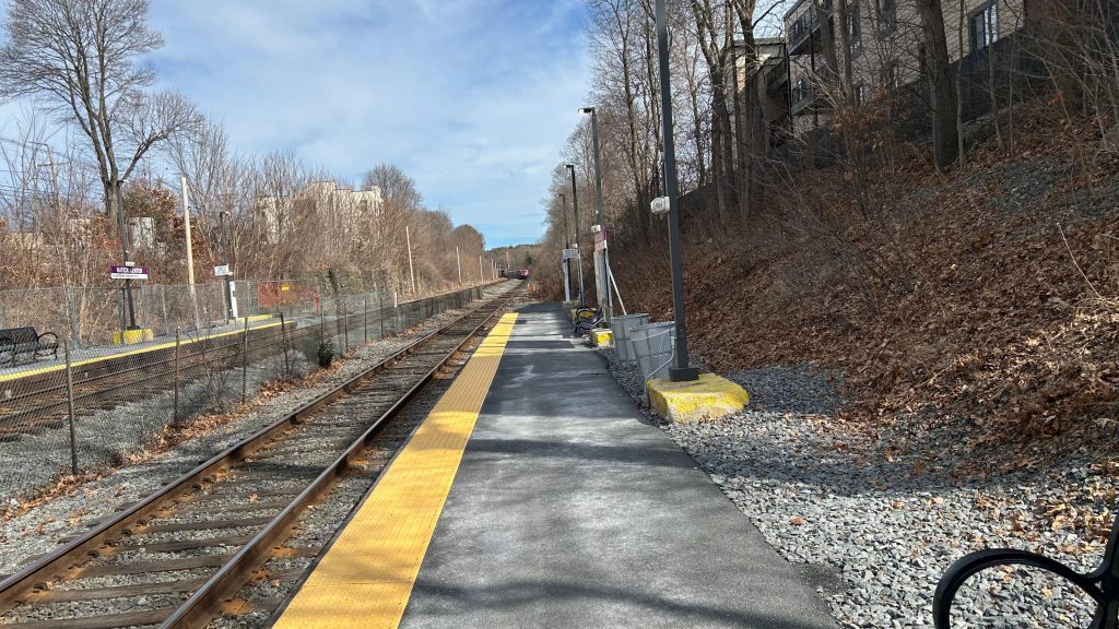
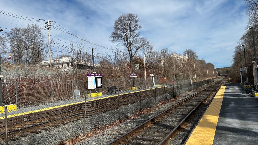
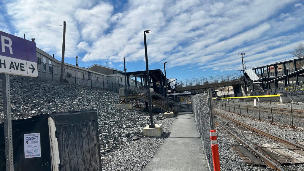
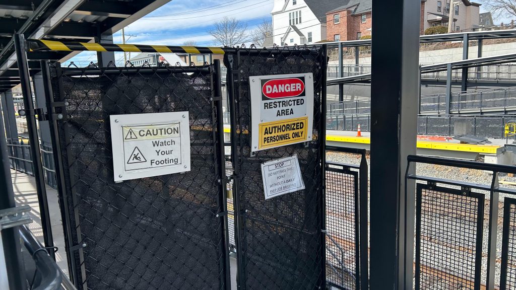
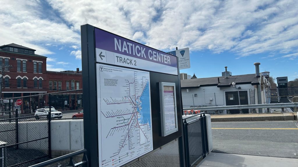
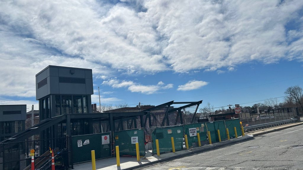
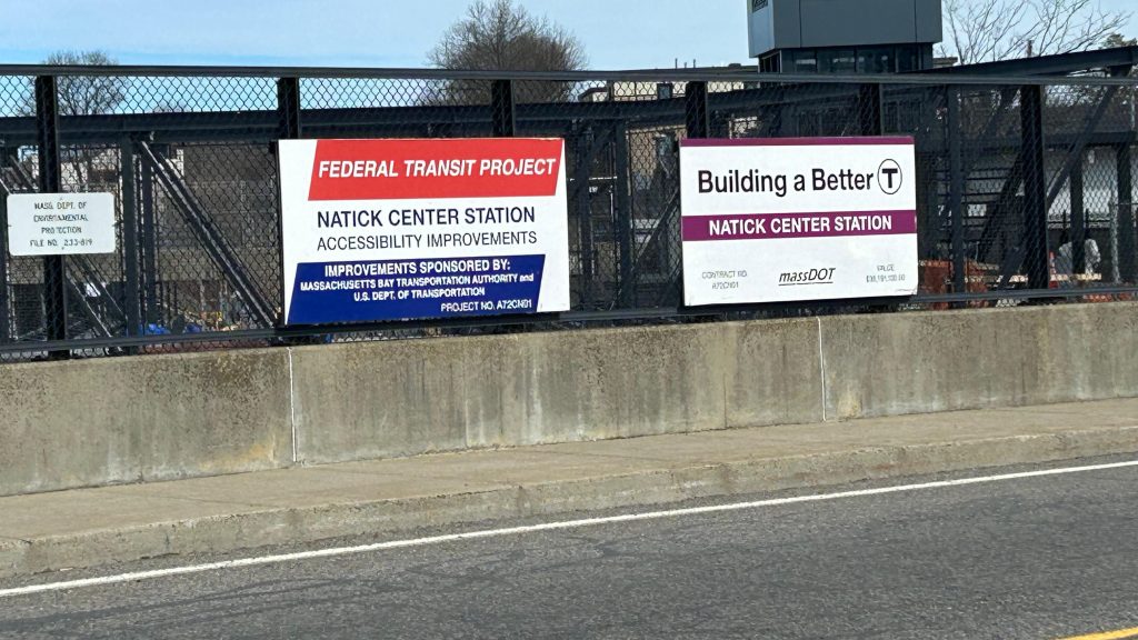
Natick Center is currently undergoing reconstruction, so this really is only a station review of the temporary low-level platform. As such, I will almost certainly have to revisit this station once the much-delayed construction is finished. With that in mind, here’s Natick Center!
Station signage!
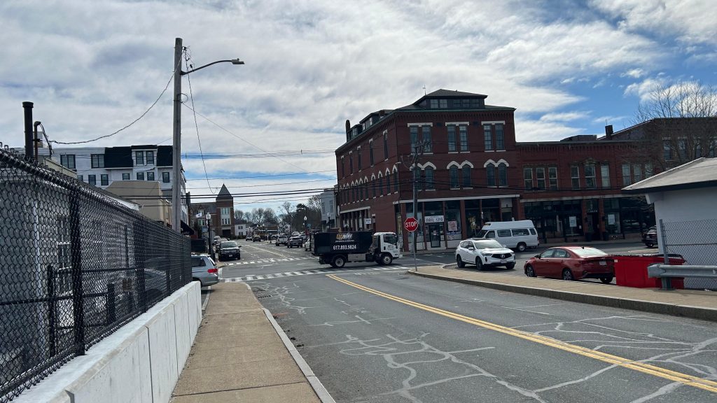
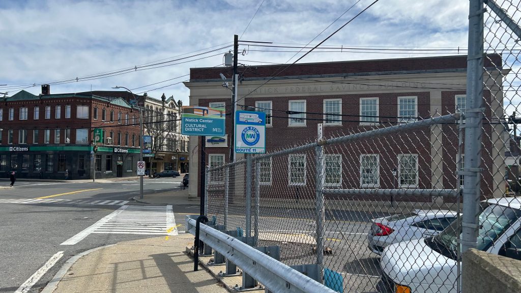
Located in the MetroWest region, Natick Center is, as the name suggests, located in downtown Natick. The station presently consists of two low-level platforms, stairs AND a ramp down, a bench, a wastebasket, lighting, and a wholeass construction site. There’s also a bus connection on Main Street to various MWRTA bus routes. Land use around the station, being in downtown Natick, is pretty good! Oh yeah, there’s even a D I N E R (I think featured in the Miles in Transit Boston-area Diner Video?) in walking distance, which is sick. I actually should come visit it and get food some time. Moving right along, that’s unfortunately about it for the area. There isn’t even any info displays that tell you if a train is boarding on the other track, which may or may not have led to everyone making a mad dash to the #1 track…
Hot damn!Bye!!! (as she pollutes the entire area)Bench!Platform shot towards Boston!The other platform!The bigass ramps under constructionAnd the stairs up. They’re kinda rusting a little…Don’t fuck with OSHA!This website does not support Donald Trump. Fuck Trump and Fuck Musk.More proper signage!Natick!Footbridge!Thank you, Mayor Pete!MWRTA MENTIONED!The Natick Common…
The good: It’s located in downtown Natick, which is always nice! Furthermore, it’s becoming accessible! And the MWRTA serves it!
The bad: The temporary station is barren! The rebuild’s been delayed many a times, AND there’s not even passenger info displays! This may have led to a mad dash from one platform to the other…yeah……
Nearby points of interest: Downtown Natick and the D I N E R!
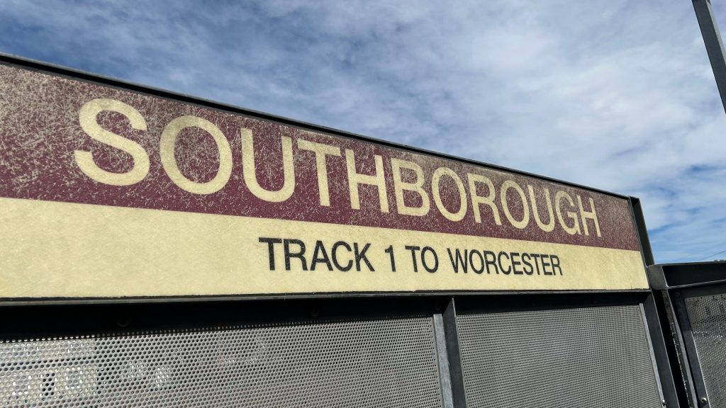
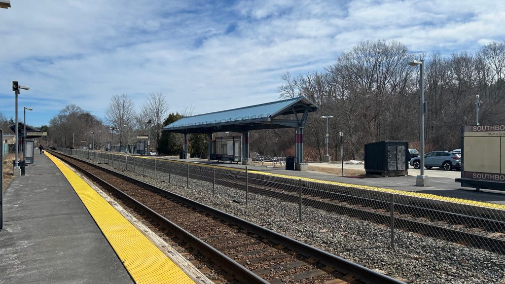
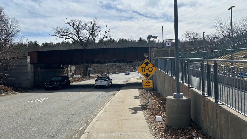
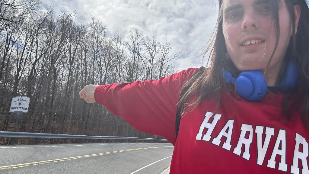
Southborough, despite the name, is barely in Southborough itself, If anything, much like Grafton being on the Shrewsbury line, Southborough is on the Hopkinton town line. Nevertheless, here’s Southborough Station.
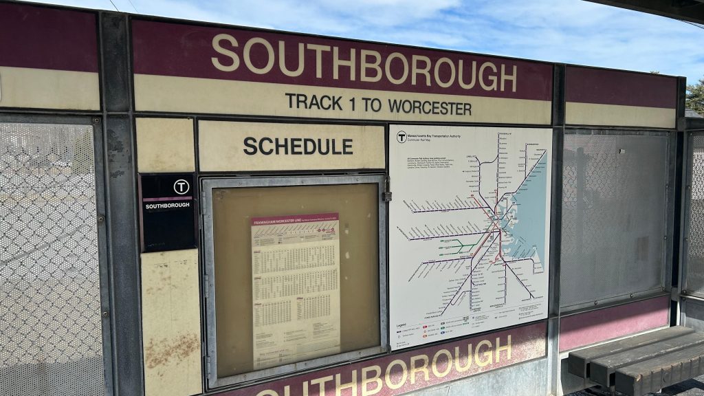
Station signage!
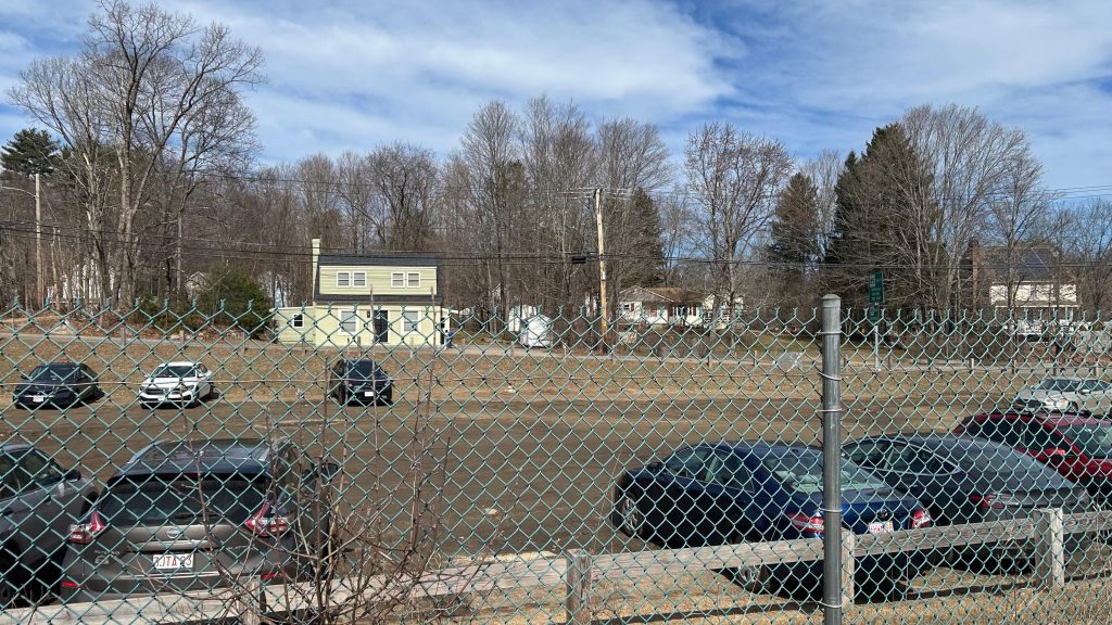
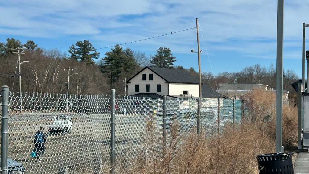
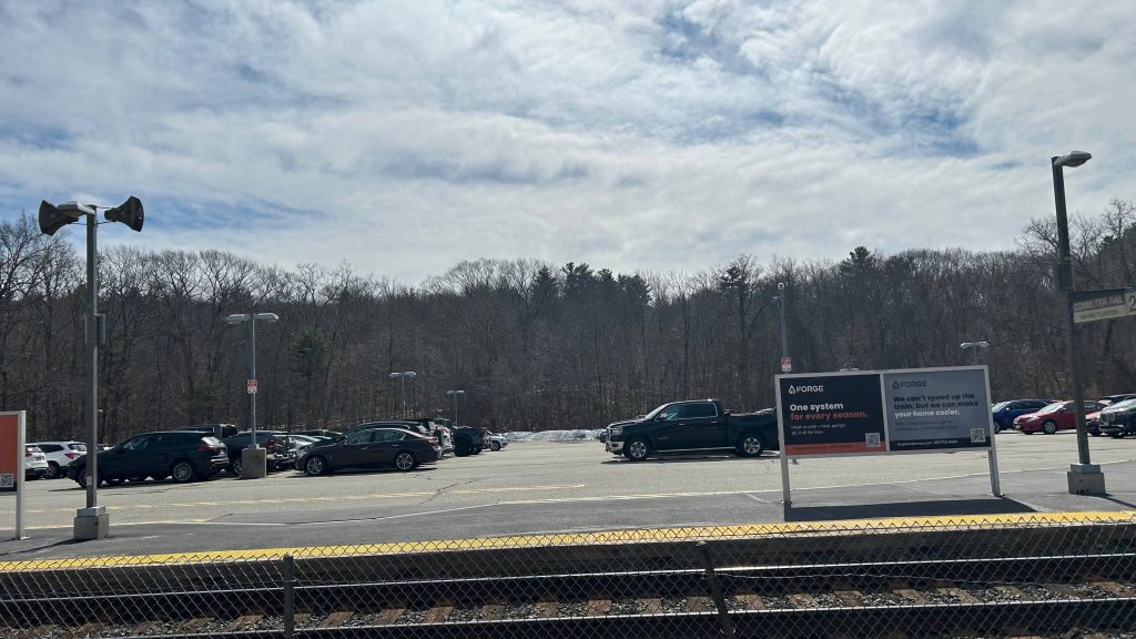
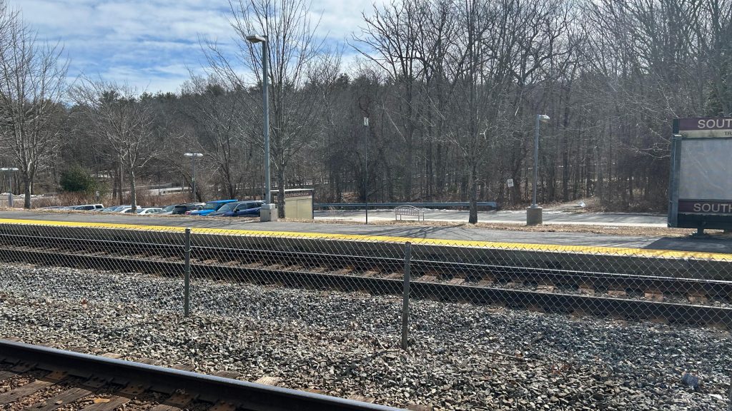
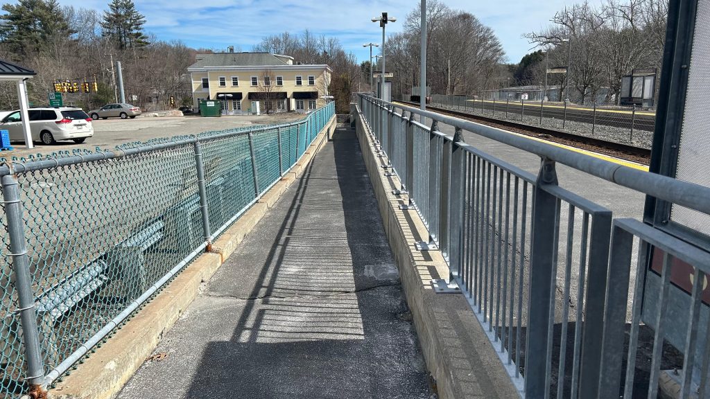
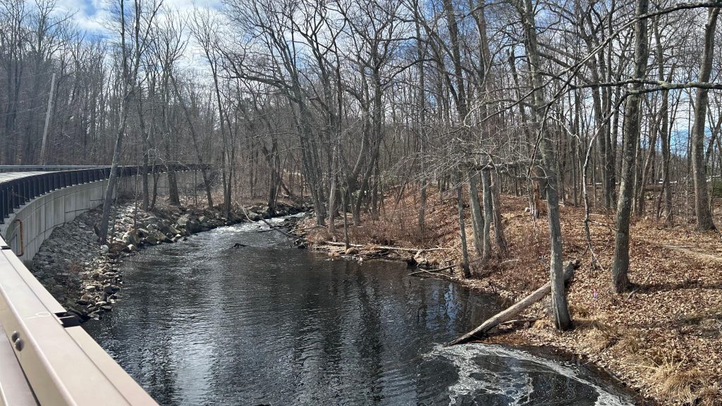
Southborough is your standard Worcester Line infill station built in the early ’00s. There actually used to be a station within a mile of here to serve the Southville area of Southborough, however these days it’s somebody’s house, so obviously they couldn’t do that. However, the current Cordaville station site isn’t that bad. Unlike Westborough, the tracks don’t run through downtown, so I can’t use that against this. There’s a decently-sized parking lot, a mini-high, nonfunctioning yellow dot matrix signage (oops!), the usual amenities on the mini-high, and rather an overpass, there’s an underpass to change sides at the intersection of River St. and Southville Rd. As for land use, it’s rather suburban in nature, though once you cross into Hopkinton (which is VERY EASY on foot), you’re basically in a state park. Neat! As for buses, apparently the MWRTA stops here at peak hours on the way between Boston Scientific and the Blandin ITC. However, I didn’t see any traces of a bus stop anywhere. Overall, though, not bad! Funnily enough, this is, by way of microtransit, also the transfer point between the WRTA and MWRTA.
Bye!!!Unpaved parking!Convenience store!Keolis was enforcing parking hereLow level shelter!Hopkinton be over yonder!Signage!RampWas there a bench here?11ft8’s twin?River!SEE? HOPKINTON! IT’S THAT EASY!Mini-high shot and towards Worcester!GET ME OUTTA HERE!!!
The good: There’s a mini-high! There’s some stuff around here (unlike Westborough!). Furthermore, there’s parking for those that need it. I was here midday on a Monday and it look like it was being decently used. It’s also got the usual you’d expect from a Commuter Rail station.
The bad: It’s a mini-high. Bleh. Also, it still feels desolate. And no way to change sides closer to the mini-high???
Nearby points of interest: Pizzaville restaurant is nearby, as is the Hopkinton State Park. Not a lot, otherwise.
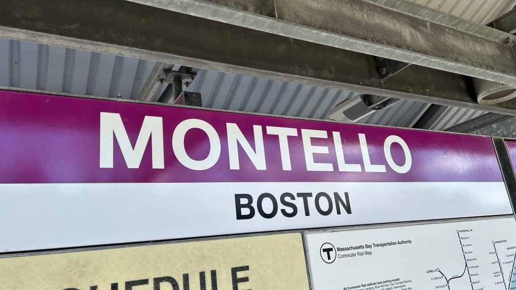
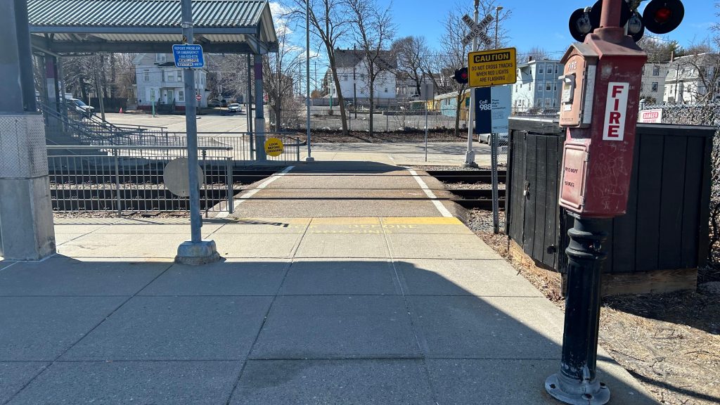
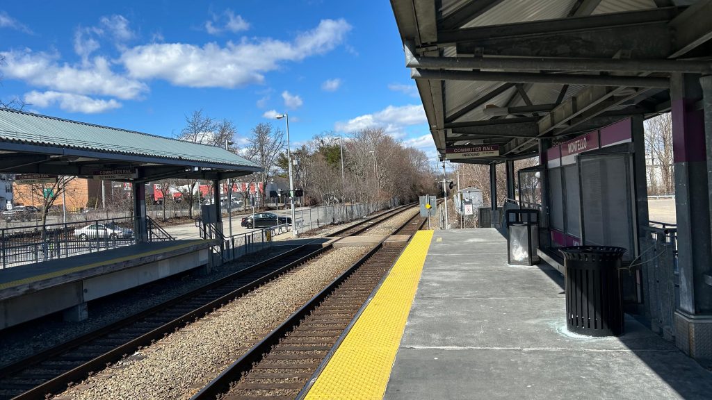
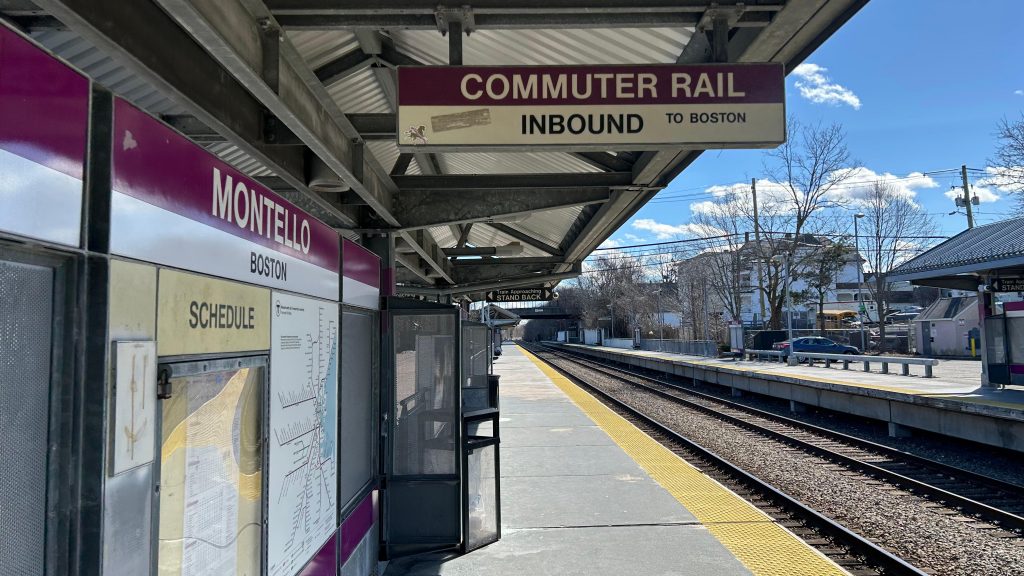
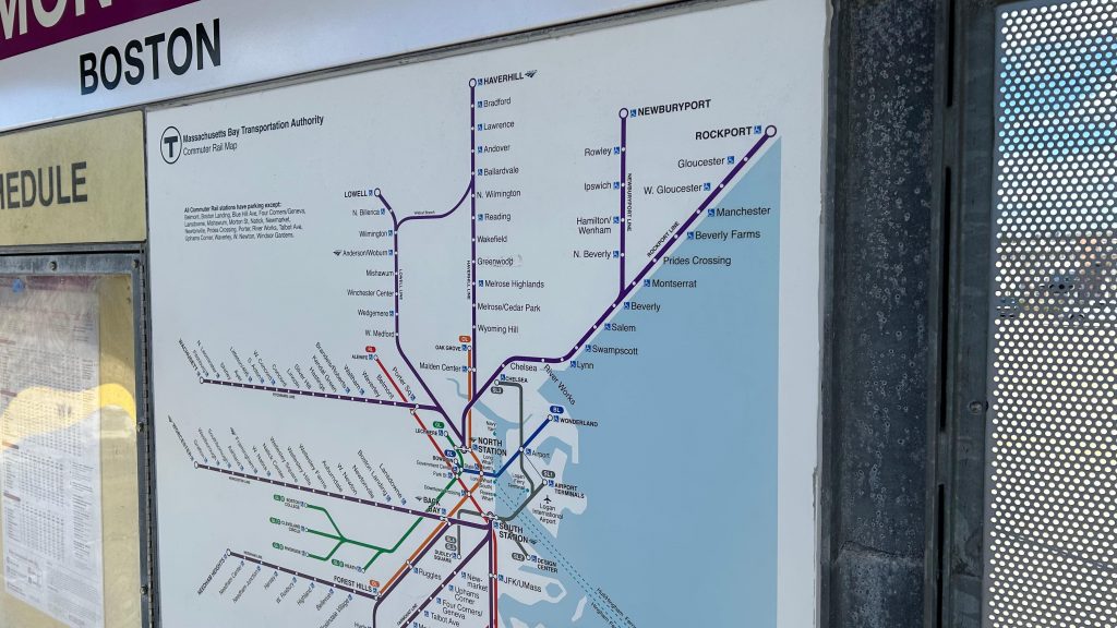
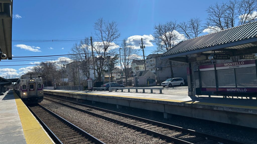
There are a couple of spots where the MBTA and BAT interchange. The first, surprisingly, is Ashmont on the Red Line. However, I covered Ashmont a while ago. Instead, we’ll be covering the second place where one can interchange between the T and BAT. Meet: Montello
SIGNAGE!
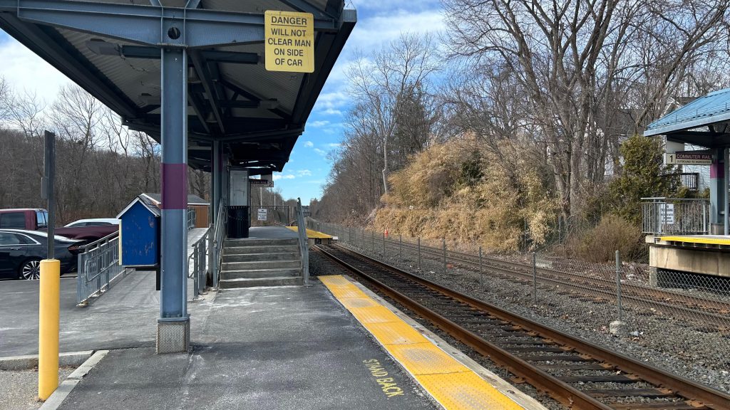
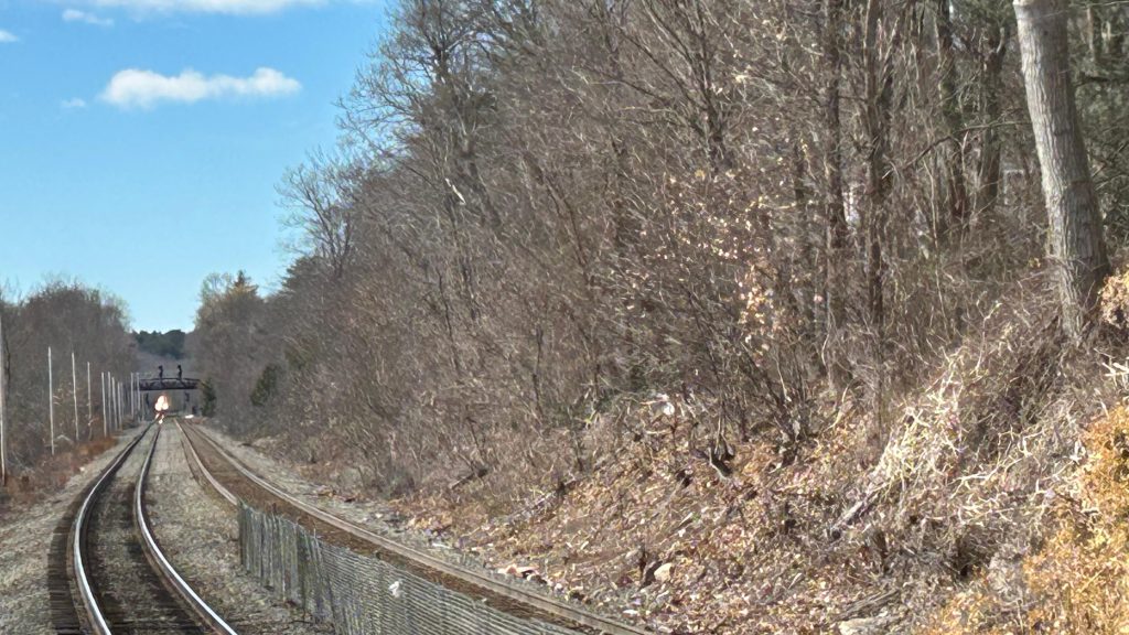
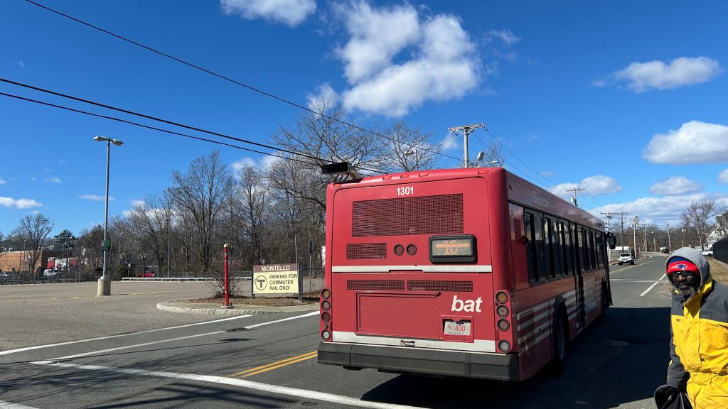
Montello is a station on the Fall River/New Bedford Line, and is one of a handful of double-tracked double-platformed stations on it. With two side platforms, this part of the line is designed for trains to pass, and oftentimes they meet here. The platforms are pretty standard with shelters, yellow signage, benches, and whatnot. Changing sides is done via a grade crossing. BAT buses pick up on Spark Street (written as SPARK Street on Google Maps?), while the MBTA’s route 230 to Quincy stops in the parking lot itself. As for the area, there’s not too much to remark. One side is relatively suburban, while the other is considerably more industrial. It’s also accessible, along with the rest of the line. Neat!
Bye bye, BAT!That’s a lot of parking!I do believe this is where the MBTA’s route 230 boardsGRADE CROSSING!Towards Braintree and Boston!Platform shot looking towards Fall River, New Bedford, and HyannisVERY OUTDATED SYSTEM MAPGET ME OUTTA HERE!!!
The good: It’s high-level! There’s buses and parking! Shelter!
The bad: Eh, the land use could be a little better, but the fact one side is closest to relatively dense housing isn’t bad! Also, can the 230 get a proper shelter please?
Nearby points of interest: Not much it seems. There’s a Stop & Shop nearby, I guess.
Transit connections: Commuter Rail (Fall River, New Bedford) MBTA bus (230) BAT (10/11)
Overall, it’s passable. Not too bad, nothing to remark.
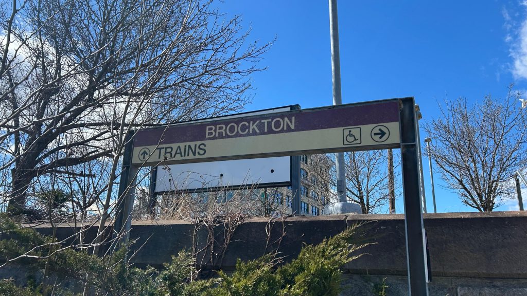
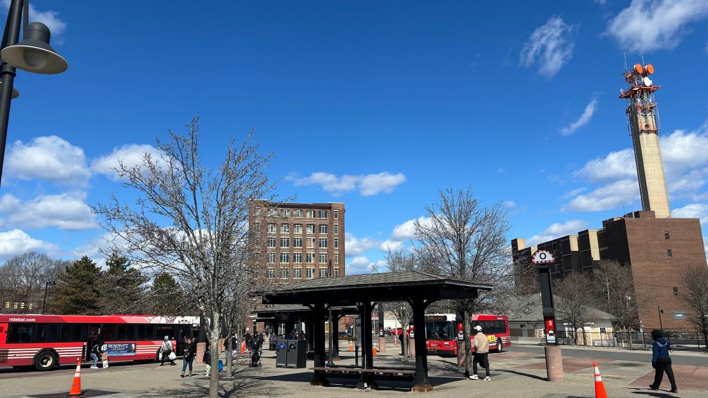
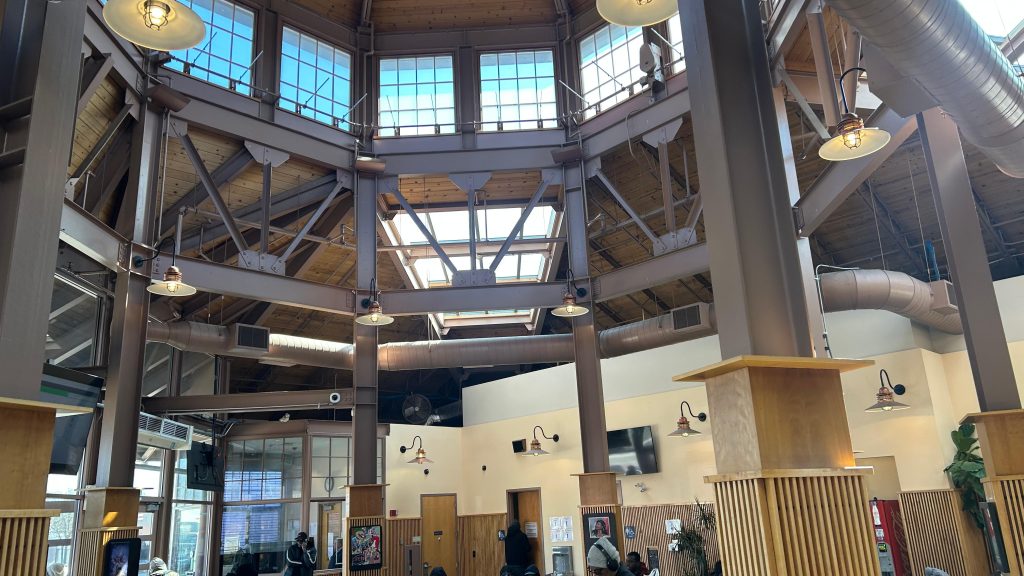
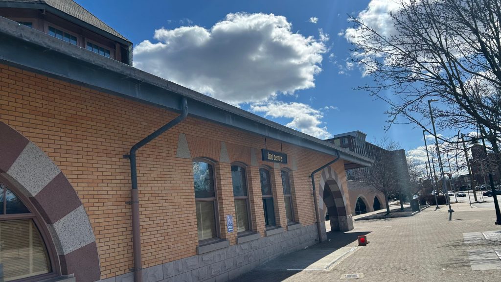
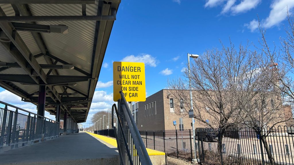
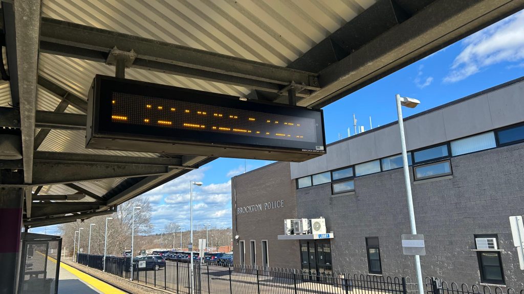
nanananananananana BATMAN!!!!!!!!! Oh, this is the BAT Center, not the BAT Cave? Booooo…….. Well, at least we’re in downtown Brockton now. Oh yeah, there’s a Commuter Rail station here too.
We’ll get to you in a little bit…
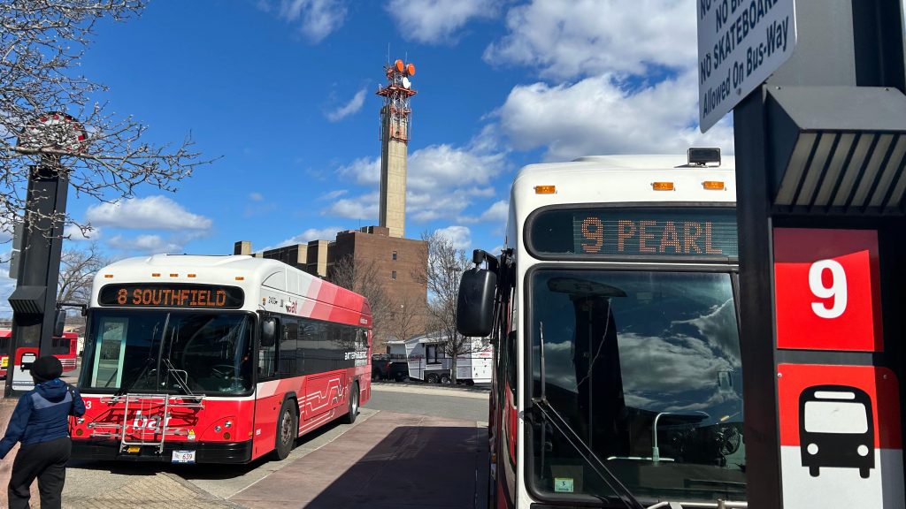
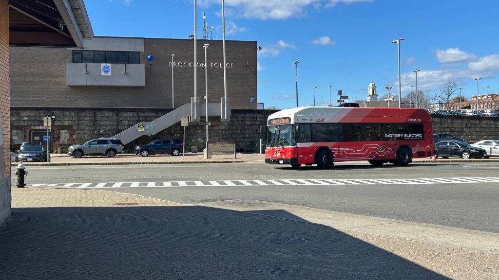
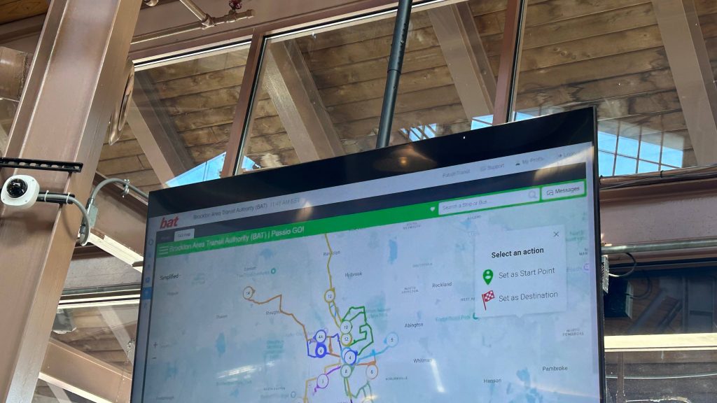
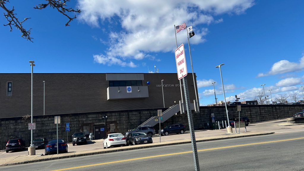
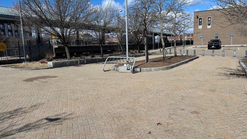
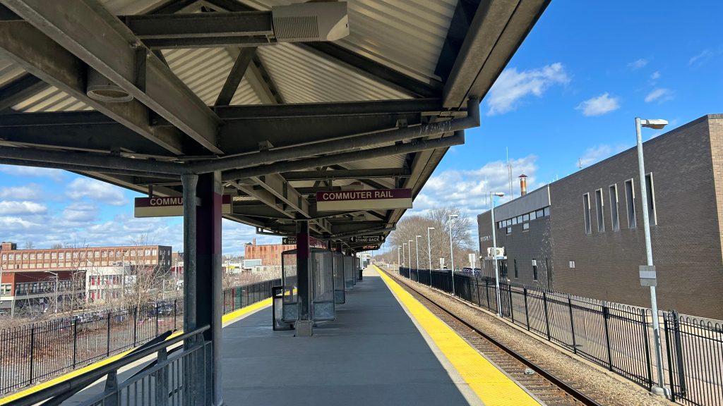
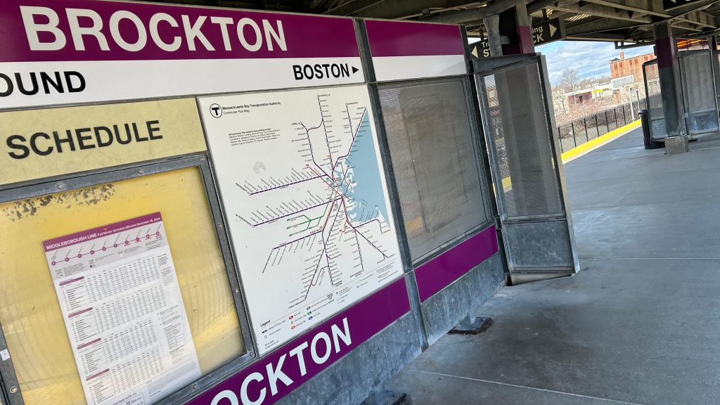
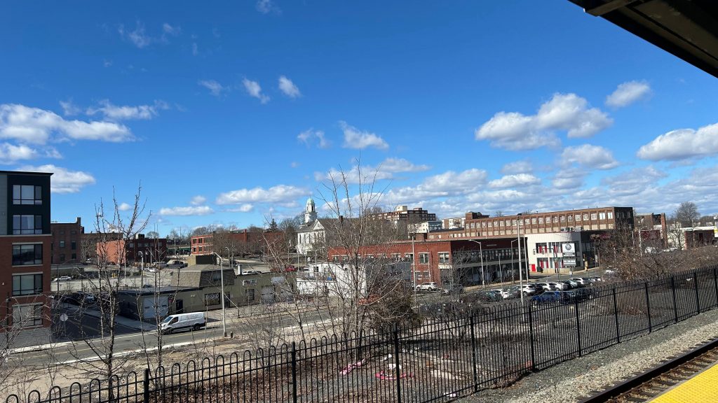
The BAT Center is BAT’s main bus terminal, where all their routes (sans the BSU campus shuttles and the Rockland Flex) all converge. While I was here on a Saturday, the cafe tenant that was here was closed, however in terms of other things, you have restrooms, BAT customer service, a very pixelated system map. There’s also a CharlieCard machine that was barricaded (BAT was fare-free). Yea, that’s right! BAT takes the trusty CharlieCard!!! The building is pretty nice, too, all things considered. There’s a pick up/drop off area on the road between the BAT Center and the Commuter Rail platform. So, walking to the Commuter Rail platform, it’s standard. The fact it’s behind the Brockton PD headquarters is a little sus, but whatever. It’s an island platform, and this section of the line is designed for trains to pass each other. As such, track 1 is outbound and track 2 is inbound. Yellow matrix signage, shelters, benches, blah blah blah. There’s a grade crossing here, though! And it’s in downtown Brockton, which is nice too. There’s some parking, not too much (apparently there’s a garage nearby?), and then, something amazing happened at the top of the hour as my friend and I were leaving.
At the top of the hour and half past, EVERY BAT route leaves the terminal. This, is the pulse. And, by god, is it a glorious thing to witness. All the buses leaving at the same time in a coordinated manner. BAT might be a smaller system, but for a first impression, they REALLY seem to have their shit together. Overall though, not bad!
batThe BAT Center!The bus berthsBATTERY BUS! (& the Brockton PD)got any more of them pixels?Hi, from the BAT Center!The interior!Signage for BATThe Brockton PDA bike rack???Grade crossing!Stairs!Towards Braintree and Boston!Towards Fall River, New Bedford, and Hyannis!Women and enbies need not apply!Platform shot!The usualBEAUTIFUL DOWNTOWN BROCKTON!Yellow dot matrix signage!
The good: Location! It’s in downtown Brockton! It’s also intermodal with the BAT terminal and the Commuter Rail station pretty much being in the same spot. Furthermore, the BAT Center has some decent amenities. The Commuter Rail platform is standard, though.
The bad: Eh, not a lot here. I genuinely don’t have anything to say that’s bad.
Nearby points of interest: Downtown Brockton!
Transit connections: Commuter Rail (Fall River, New Bedford) BAT (1, 2, 3, 4, 4A, 5, 6, 8, 9, 10/11, 12, 14)
Overall, it’s probably……the only perfect Old Colony station?! Yeah, looks like we have gold in an unlikely place!
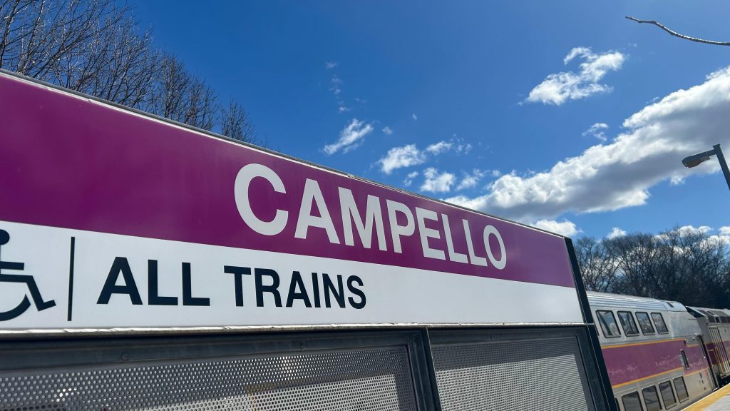
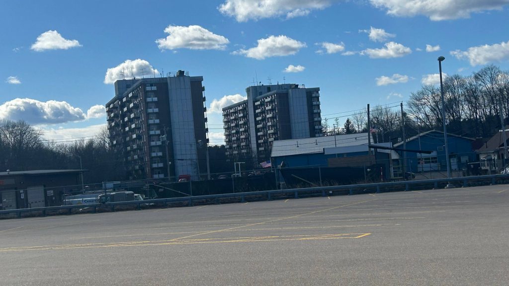
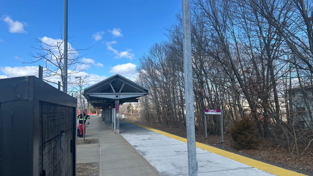
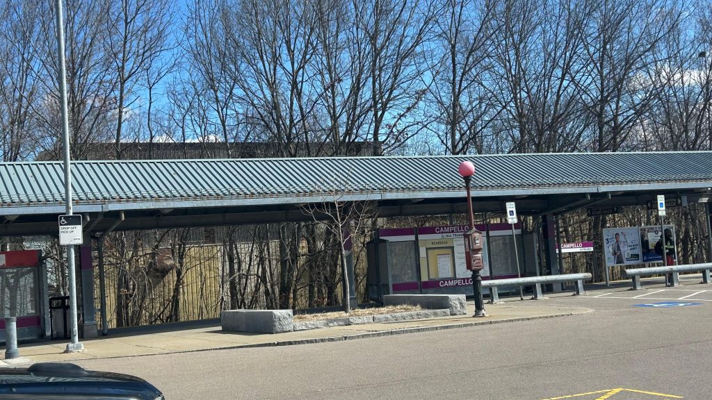
A bigass parking lot? In front of Brockton’s section 8 housing? And with a Commuter Rail platform? Well, don’t mind if I do! Welcome to Campello Station!
Signage!
Campello is a singular side platform off the Middleborough (soon to be Fall River/New Bedford) Line, and is original to the 1997 opening of the line from South Station to Lakeville (later extended seasonally to Hyannis in 2013). It’s got your usual Middleborough Line amenities (sheltered area, yellow signage, benches, a lot of parking, etc.), and it’s also got a bus connection by way of BAT’s route 8. Unfortunately, though, the stop was not signed. So, of course, when my friend and I took BAT to get outta here, we had to bolt for the bus. Fortunately, a kind old lady and the bus operator waited for them and (mostly) my slow feet. Yeah, I don’t have much to say about this station. However, as for land use, you have section 8 housing across the street! There’s also a small industrial area nearby as well. I do wonder though, does the Brockton Housing Authority development qualify as MBTA Communities Act compliance? Anyways. I mean, it’s a basic station, but it’s certainly no slouch for land use vs. some other stations.
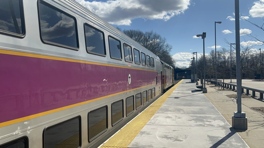
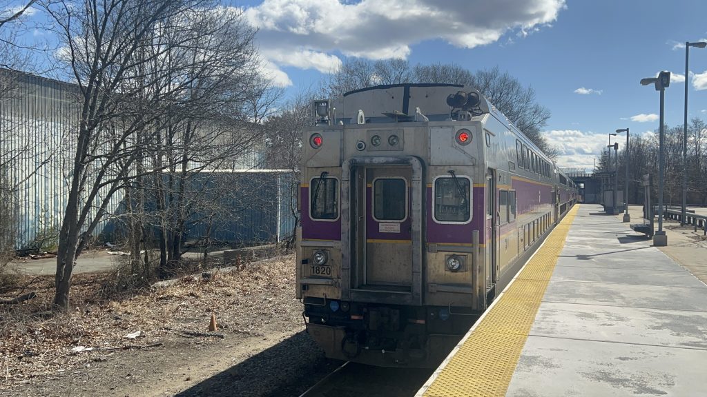
An F40 bilevel set!Cab car!And away to Fall River New Bedford Lakeville with you!Track shot towards Braintree and BostonParking!Industrial land use!Somehow the section 8 housing feels out of place, but it’s also a necessity.The sheltered areaStation shot
The good: It’s across the street from a section 8 housing development! There’s also a bit of parking, and BAT bus connections! However…
The bad: THE BUS STOP ISN’T SIGNED OR MARKED CLEARLY! Also, is this much parking necessary?! It’s barely filled up on a weekday OR a weekend! Also, I have a feeling that double tracking here might help, but there’s only so much that can be done on that front given the mainline being single tracked in Quincy and South Boston.
Nearby points of interest: It’s mostly suburbia, but you have some industrial stuff and section 8 housing!
Transit connections: Commuter Rail (Fall River, New Bedford) BAT (8)
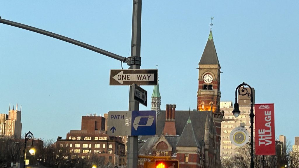
Okay, okay. So, the MTA subway system isn’t the only one in NYC. NY actually has a second, interstate system operated by the Port Authority known as PATH. Surprisingly, though, the system is split about 50/50 with 6 of the 13 stations being in NYC (namely, the stations along 6th Ave., Christopher St., and World Trade Center), while the other 7 are in eastern New Jersey (primarily in Jersey City, but also as far out as Newark’s Penn Station and Hoboken). Now, this and the other 12 PATH stations may be a bit sketch for me to do given the Port Authority has a no photography rule in place, but here we go…
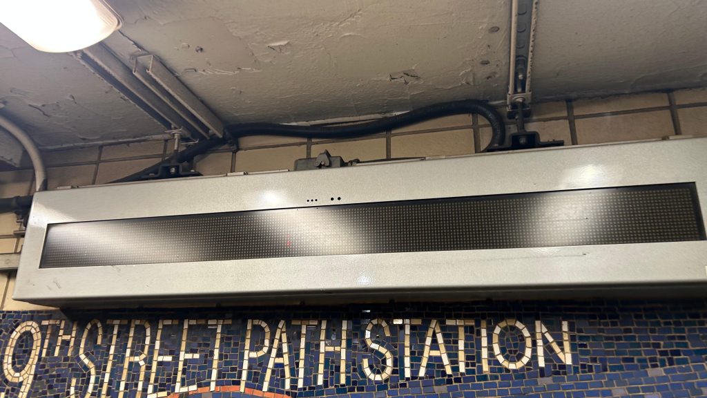
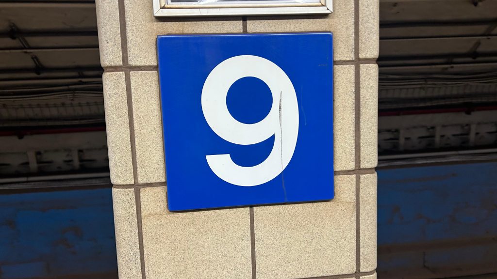
Signage!
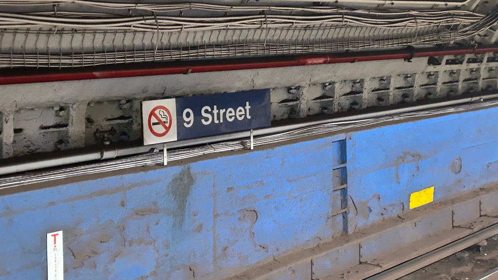
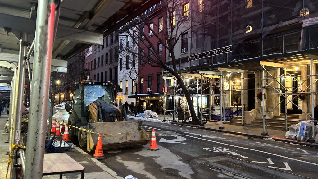
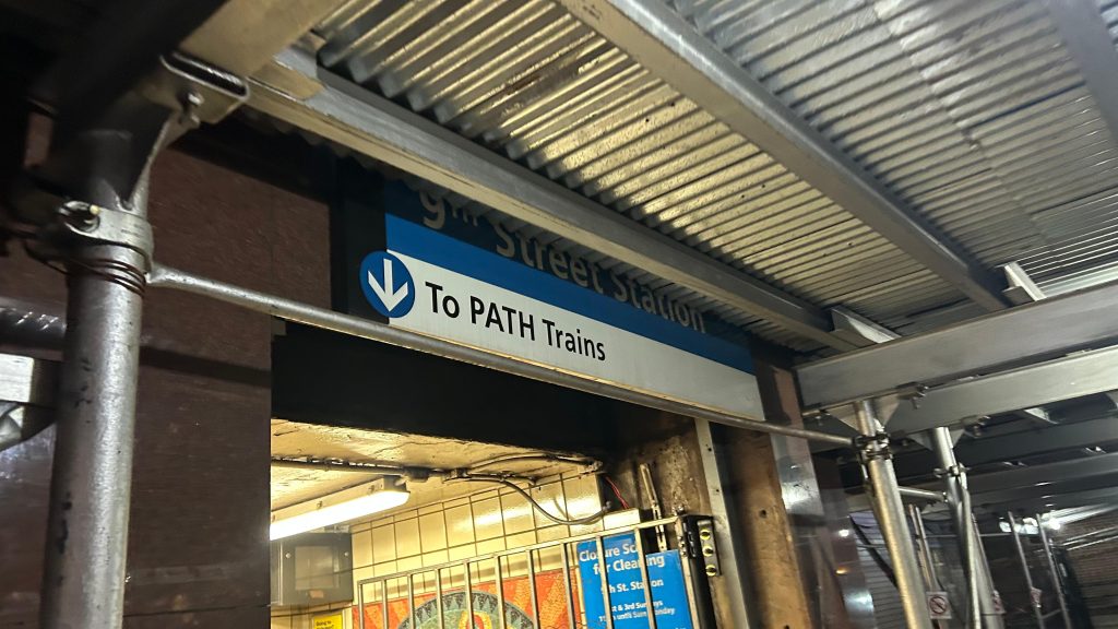
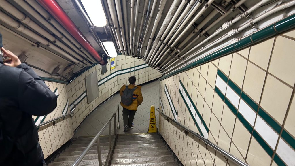
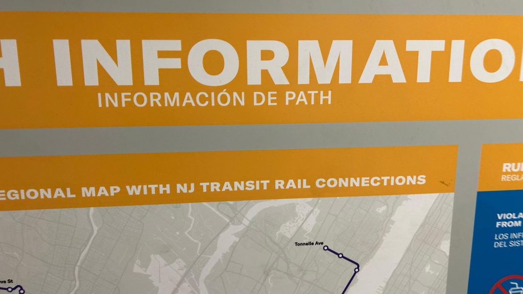
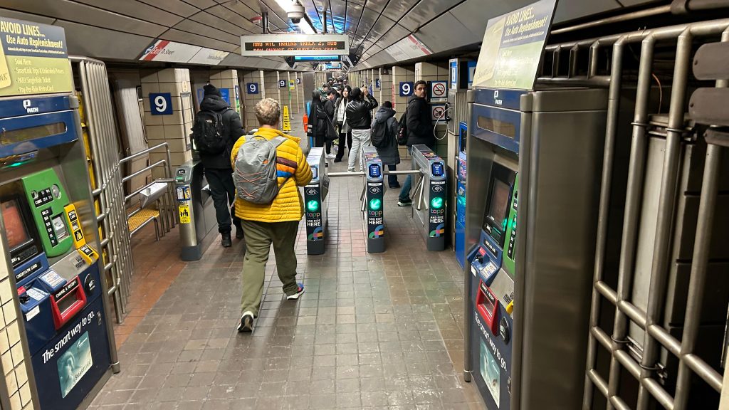
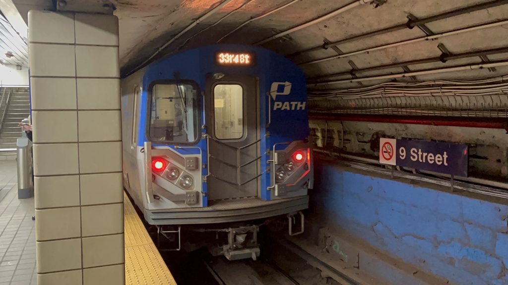
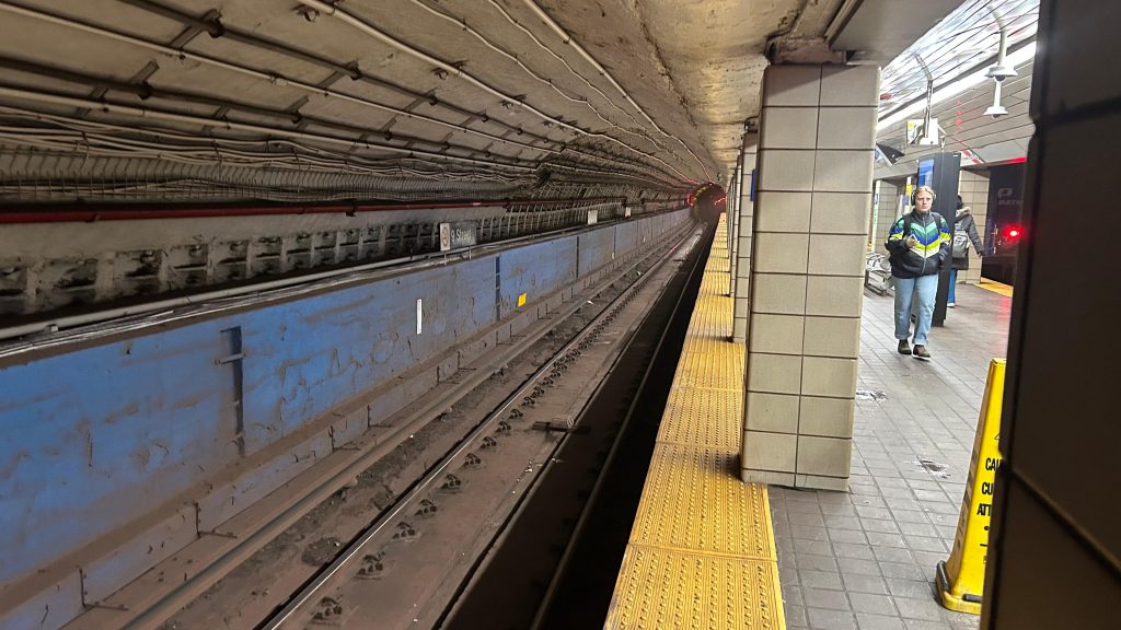
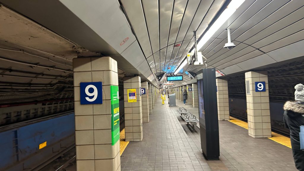
So, this originally came to be when I suggested to Michael, Rome, and Metropolis that we should ride PATH for fun. Surprisingly, they agreed, and we went to the nearest PATH station. In this case, it was 9th Street. And, so, I commenced with the first PATH station review. Firstly, the entrance is actually a pretty long tunnel that’s inaccessible. Signage pointing to the station thankfully does exist at street level, and the entrance itself is pretty inconspicuous. Once inside the station, you have fare gates with OMNY- er, TAPP readers, and PATH ticketing machines. The station itself is relatively pretty clean, it clearly wasn’t trafficked as much as nearby West 4th St., and the platforms had standard amenities one would expect, including benches, trash bins, and even an LCD clock with the next train in each direction (in this case, towards 33rd St./Herald Sq., and towards World Trade Center, as Hoboken was closed). There was even an info board in the tunnel as well that even had the Hudson-Bergen Light Rail! (stay tuned!). Overall, not bad for an introductory entry into a new system! Yay! One other fun fact, this is also the least-used PATH station as well!
Wayfinding!Looking up 6th Ave. a littleThe street outside the station entrancePretty inconspicuous, to be honest.LCD signage!THE STAIRS AND TUNNELInfo board with NJ TRANSIT?!Fare control!WEEWOO WEEWOO FBI OPEN UP THIS IS AN ILLEGAL PICTURE!Looking towards Herald Square!NEIN.Platform shot!
The good: It’s pretty well kept, and can serve both as a local alternative to the MTA subway (uptown) or to NJT buses (towards NJ). It’s also got the standard amenities you’d expect, and is actually very well lit. The station also has distinct character with the more low-key entrance.
The bad: The hole in the wall style of entrance can be a bit hard to find amid the amounts of signage for other businesses found in the area. Also, it’s not an accessible station. Of course, I’d also mention West 4th being close by, but it’s also not an MTA station so I can’t complain about that. My biggest gripes come down to inaccessibility primarily. Also, the platforms can get pretty easily crowded.
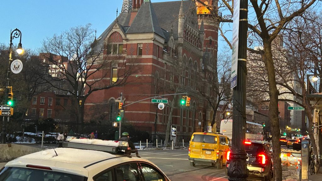
Nearby points of interest: You have a library nearby, Washington Square Park, even the Stonewall Inn if you walk a little (this is the closest PATH stations to all of these places). This is also the closest PATH station to NYU, as well.
Transit connections: PATH (Blue/HOB-33, Orange/JSQ-33) MTA bus (M8, M55)
Overall, not bad for a first PATH station. It’s nice for what it is, though inaccessibility is annoying. But, I guess that also means no piss-scented elevators! Anyways-
*hears police sirens getting closer*
Oh shit, Port Authority transit police is after me, aren’t they… FUCK.
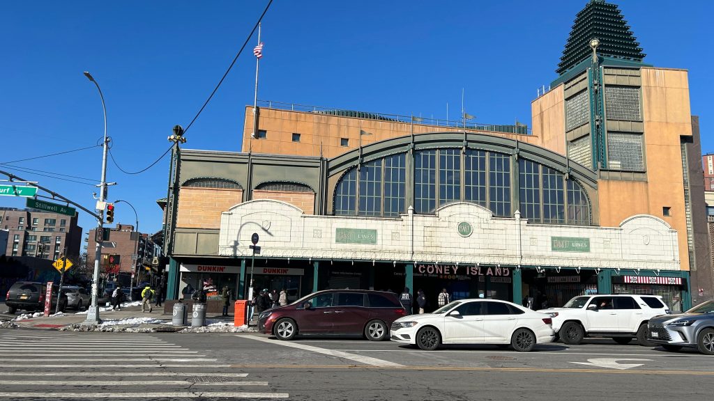
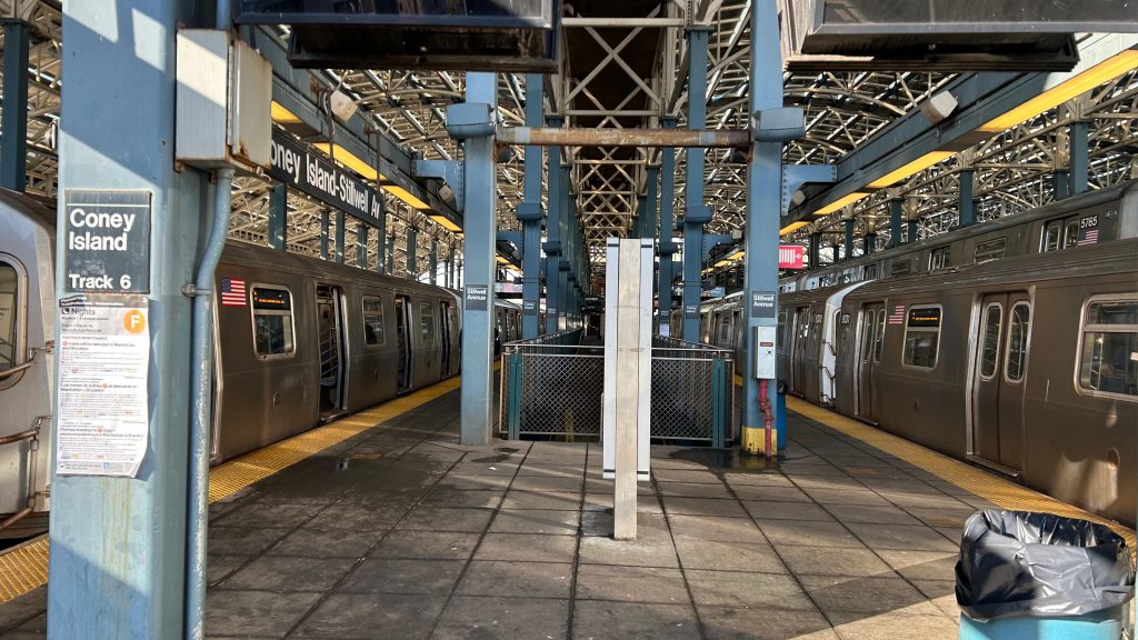
Stillwell Terminal, Stillwell Terminal, Stillwell Terminal… Well, this station manages to both be useful AND a rather season-dependent station. I mean, it’s no slouch for ridership during the colder months, but I’m making a safe presumption that even during warmer months, it’s busy here due to crowds gong to Luna Park and the beach. Oh yeah, did I mention there’s also a minor league stadium and an aquarium nearby too?
I forgot a pic of the station signage, so this will have to suffice.
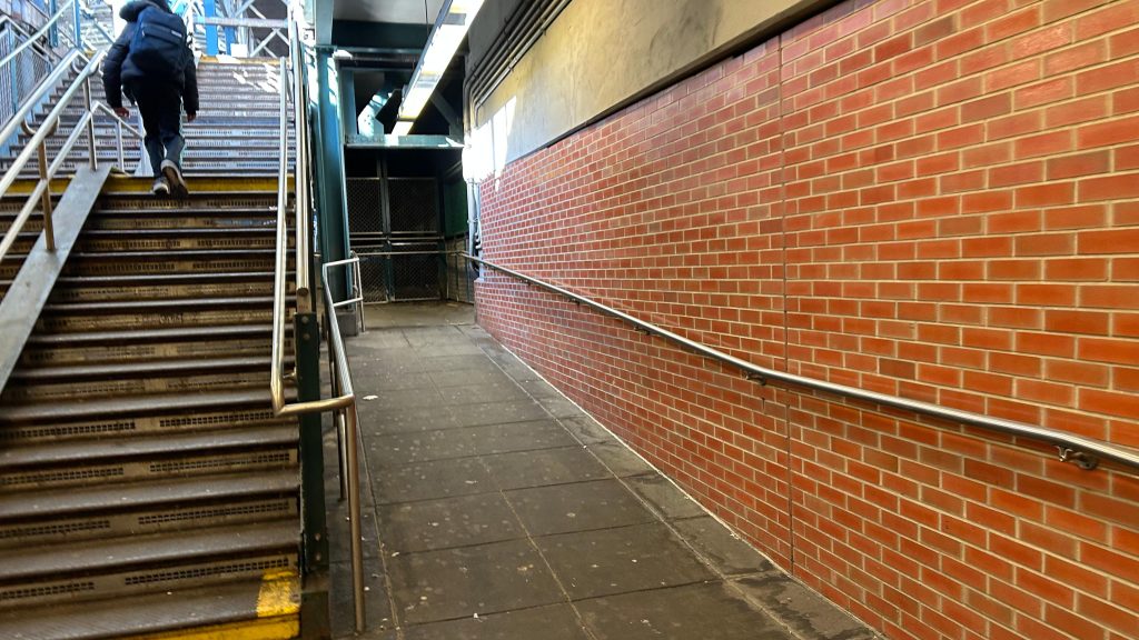
Now, we have a lot to unpack here, so let’s look at the history of this station. I’ll be giving the abridged version, so it’s not a full in-depth overview. So, here we go. The terminal was formally opened in 1919, and became the terminus of the the BMT’s (then Brooklyn Rapid Transit Co./BRT’s) West End (today’s D line), Sea Beach (N Line), and Brighton (Q Line) lines. The opening of the Brighton extension specifically marked the formal opening of the terminal, however it officially wasn’t official until the BMT’s Culver Line (now the F and FX lines) was opened into here. Also as a result of the Culver extension here, the special fare to access here was killed, making the area considerably more affordable to reach. Eventually, the BMT’s Culver Line was handed over to the IND, which then operated its D line over it (later, presumably in the MTA years, the F would then be sent down the Culver elevated, with the D then being sent down the ex-BMT West End elevated). Unfortunately, the station would quickly fall apart, and in the 2000s, the MTA stepped in, evicted everyone for renovations, and spent almost 4 years renovating the station. These renovations also made the station accessible with elevators and ramps to each platform. Neat!
The historic terminal…
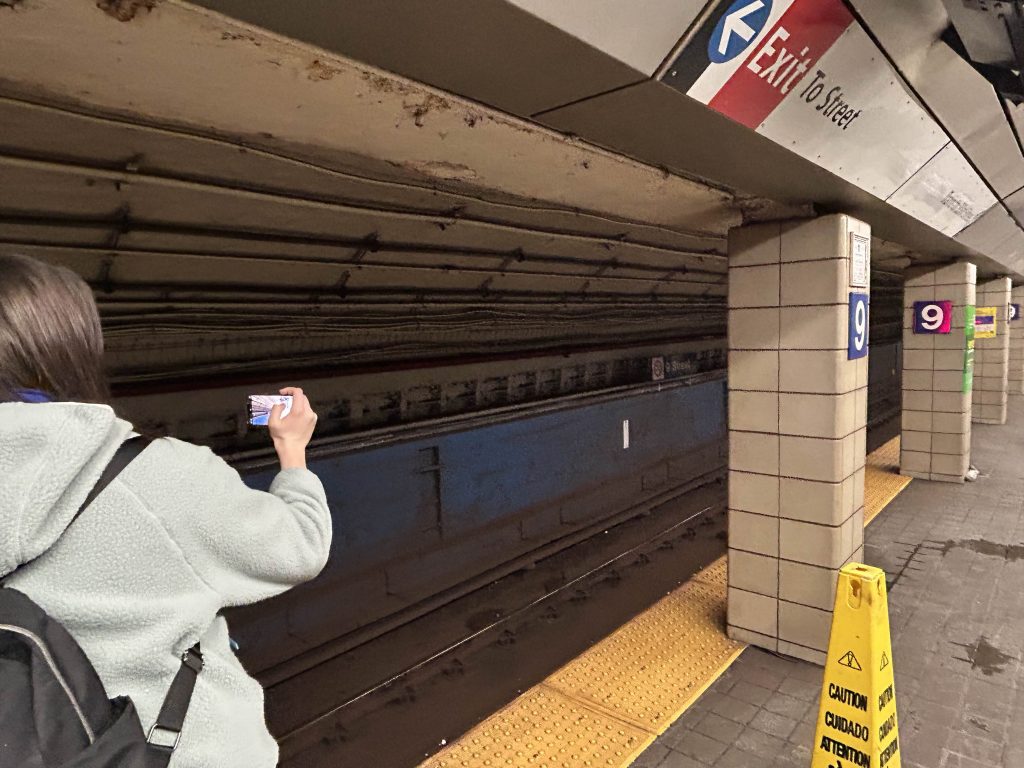
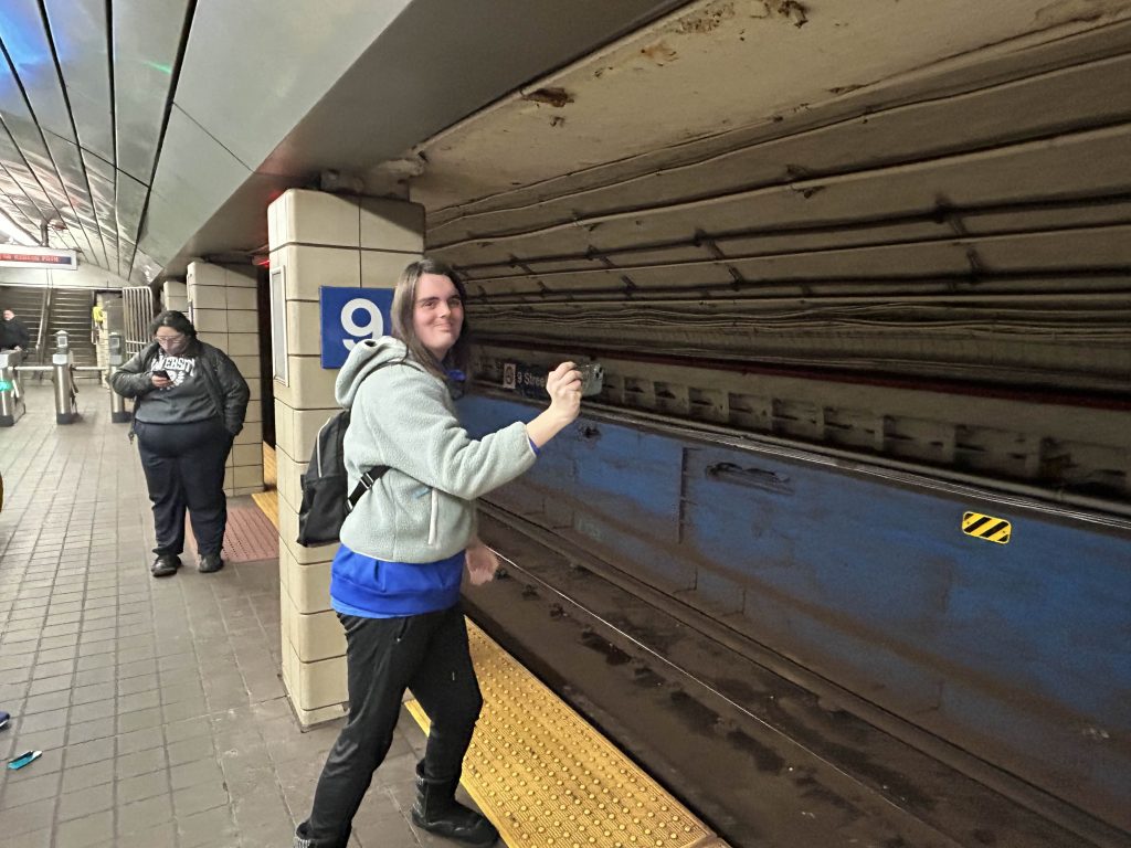
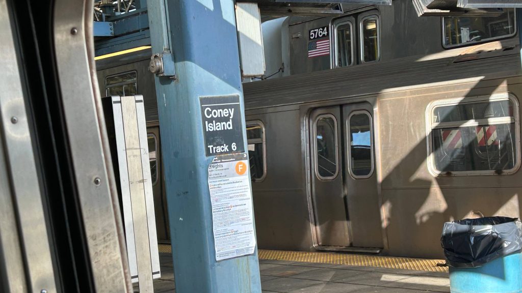
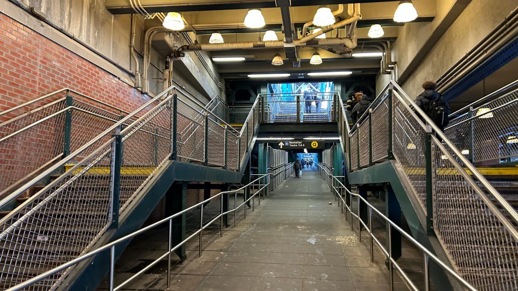
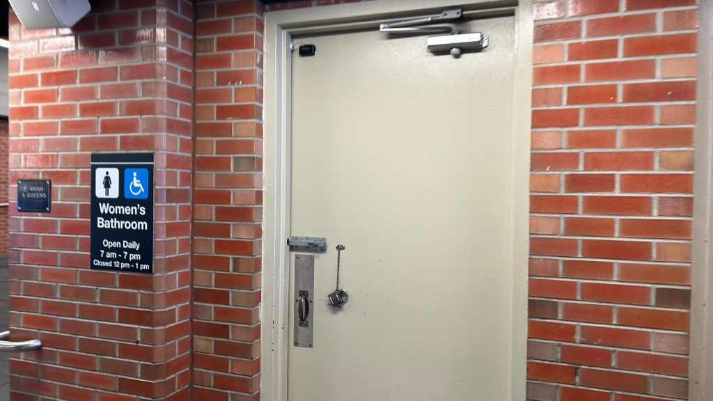
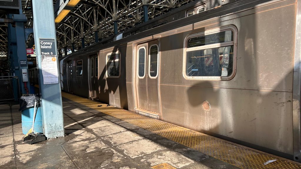
Coney Island has four island platforms and 8 tracks, one for each line that runs through. You have the D to Norwood via the West End, the F to Jamaica via the Culver elevated, the N to Astoria via Sea Beach/Gravesend, and the Q to the East Side via Brighton. All the platforms also have the standard amenities: countdown clocks, benches, signage, that stuff. As stated in the intro, ramps and elevators both exist, making the station fully accessible. There’s also restrooms, but I would probably be traumatized if I looked. There’s even a Dunkies here! Neat! Also interestingly, this station also has a busway. Hell, there’s even a customer service center here as well! Also, the roofing here is all solar panels, and it was the first station on the whole system to be solar-powered. Cool! 😀
….a B92, yet this one was signed for “D TRAIN BAY 50 ST.”????? I hope I’m misremembering the route number because Google suggests that’s a G line shuttle routeThe concourseVery open. Not overbuilt in the summer, though!I spy a busway…Ramps!Oh no.Looks mildly sketchThis is an uptown F local train.The platform!
The good: It’s pretty nice in how it looks, and is very distinct! It’s also an important station in terms of usefulness and for how important it is to the community at large! Furthermore, it’s the closest station to a pretty major tourist attraction as well. I mean, it’s no Times Square or Penn Station, but it’s no 96th/Lexington either. I actually genuinely like this station. Not because of the station itself (although it is cool in appearance) but because of what’s around it. There’s also restrooms, I guess… But hey, a customer service booth exists!
The bad: The ramps can be annoying to navigate if you need accessibility, and good luck if the elevators shit themselves. I’m also scared to think of what the bathrooms look like.
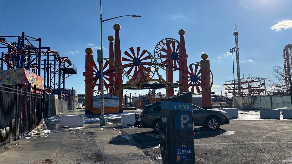
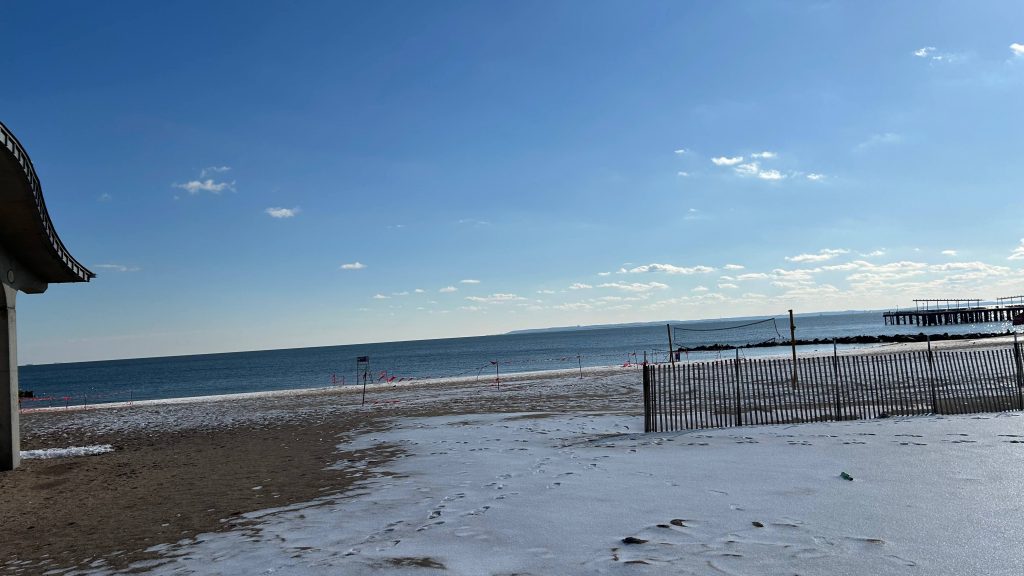
Nearby points of interest: C’mon, this should be obvious. But nah, to specify: Luna Park @ Coney Island, Coney Island Beach, and Maimonides Park, where the Brooklyn Cyclones play (repping minor league baseball, woohoo!). NYU’s baseball team also plays here, as does Brooklyn FC. There’s also the New York Aquarium, but that has a station considerably closer (though, stops ARE very close together, so I may as well mention it anyways). There’s also a skating rink and the Ford Amphitheater as well. Also, Nathan’s Hot Dogs, and you can get Coney Island dogs here, (of which, RI’s famed NY system weiners are derived from), and there’s also the Wonder Wheel.
Transit connections: 6th Ave. Lines (D, F, FX) Broadway Lines (N, Q) MTA bus (B36, B64, B68, B74, B82)
Overall, this station’s an important one, one of the most famous (I’m not even sure I can do it fair justice!), and is very iconic. It’s also one of the most-used stations by the tourist population, as well.
Rating: 7/10
A little liminal!This is actually kinda nice, despite it being the middle of winter.