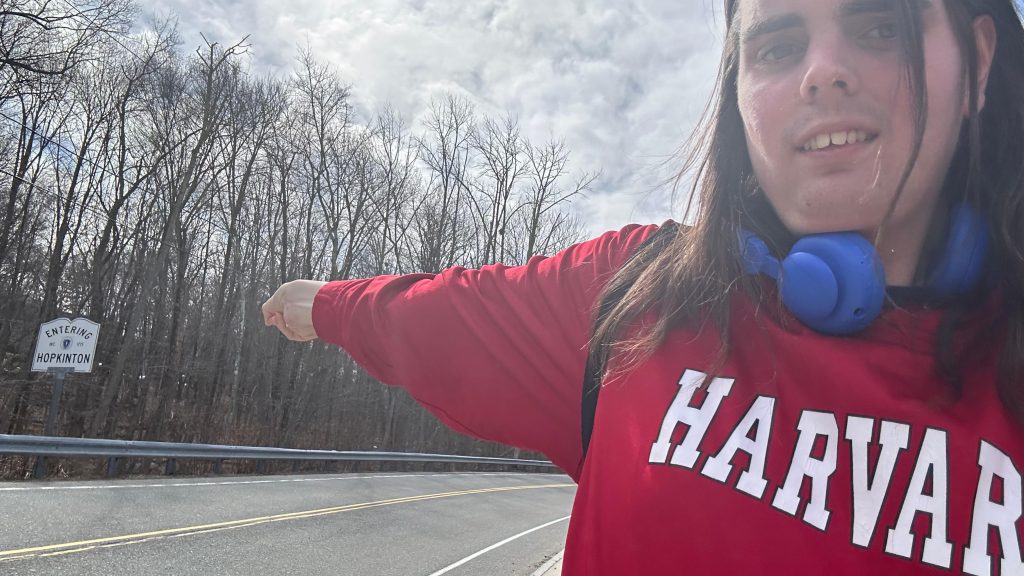
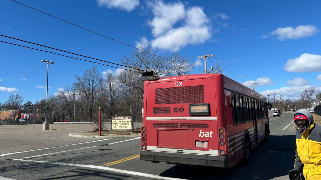
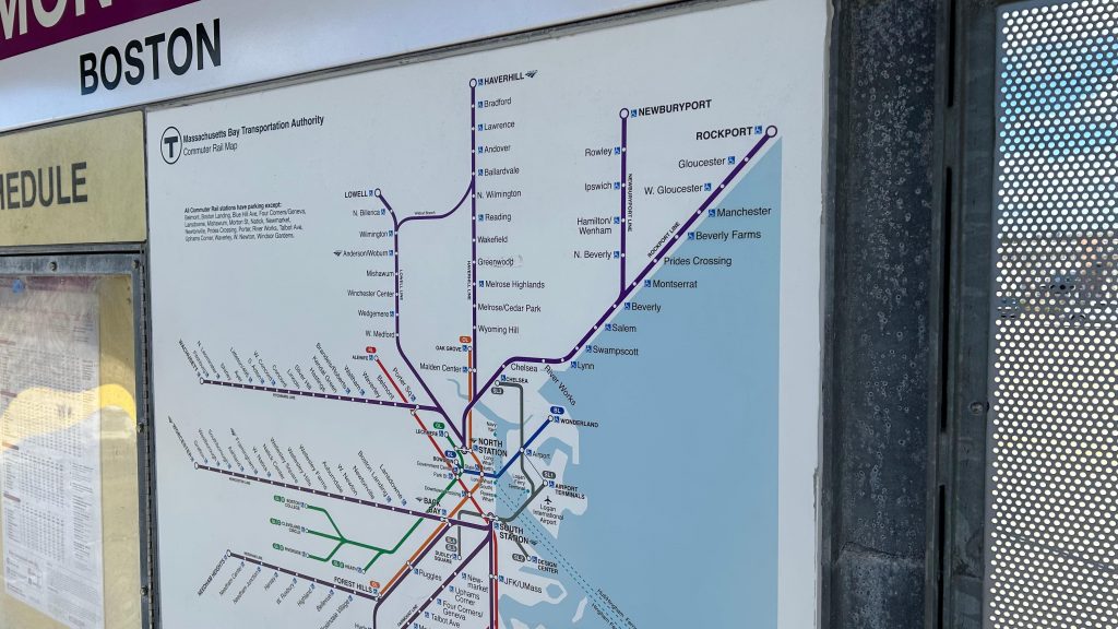
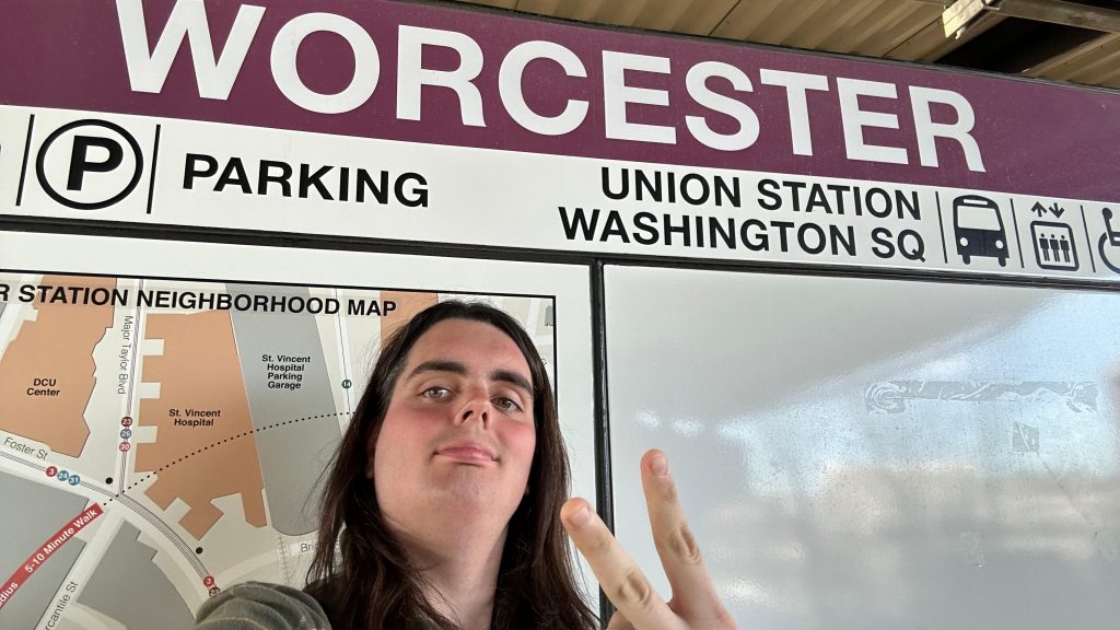
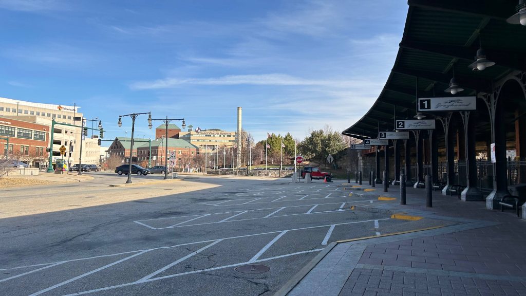
Oh, how far we’ve come…the final entry of the Commuter Rail saga (well, aside from the entries about the lines themselves – but I’ll worry about that post-South Coast Rail…, also aside from the six South Coast Rail entries that will be dropping over the next couple weeks). And, no better way to finish off than what is quite literally the final boss: one of the busiest Commuter Rail stations on the system, at the end of a line that connects the two largest cities in all of New England (yeah, sorry Providence, but you aren’t that far behind circa the 2020 census – only about 15k people difference!). This one, surprisingly, was VERY difficult as well, having taken two attempts. With that in mind, here we go. The end of the MBTA’s Worcester Line, a surprisingly not very busy Amtrak stop (out of 11, the 3rd least-used stop in the entire state as of Amtrak FY’23), Worcester’s Peter Pan and Greyhound stops, …and a bus stop for both the PVTA and MART??? Huh, odd. Needless to say, with all that in mind, here we go!
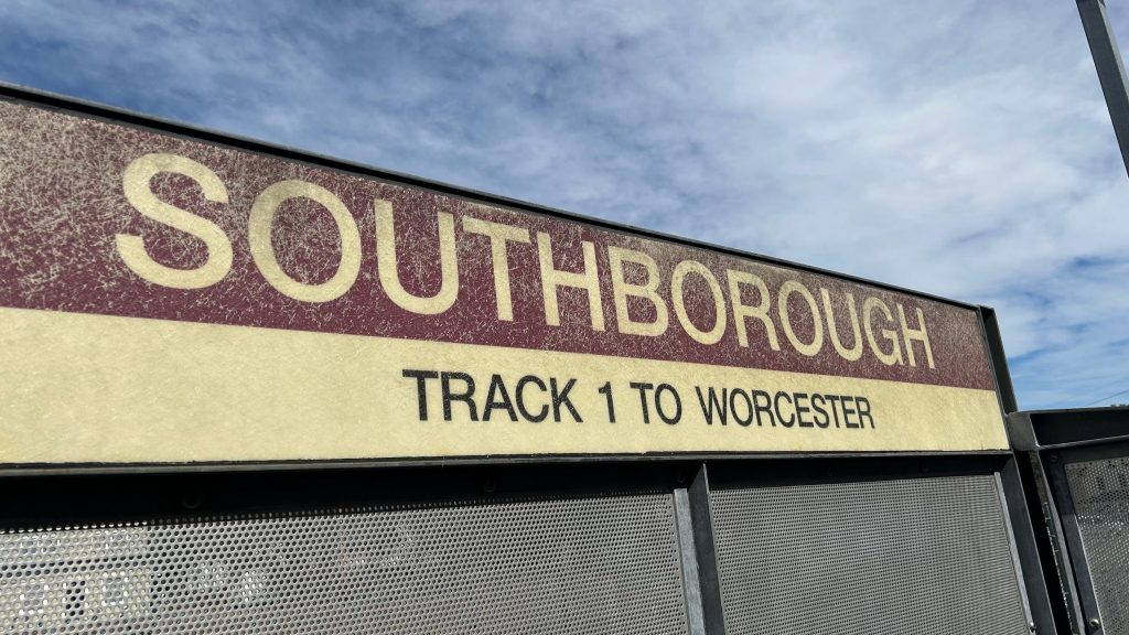
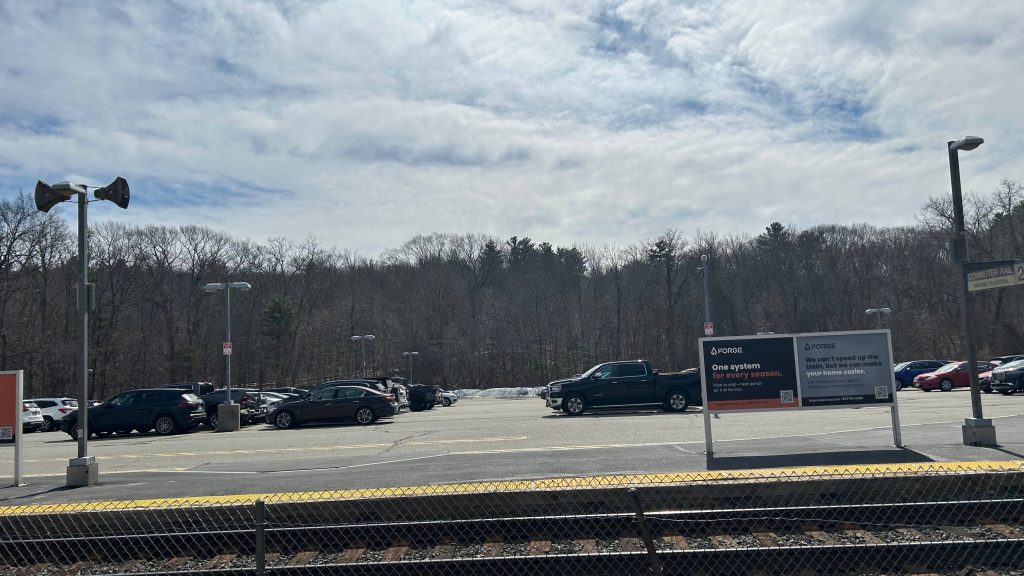
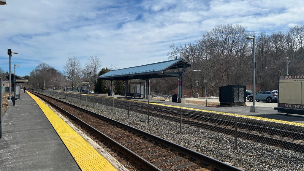
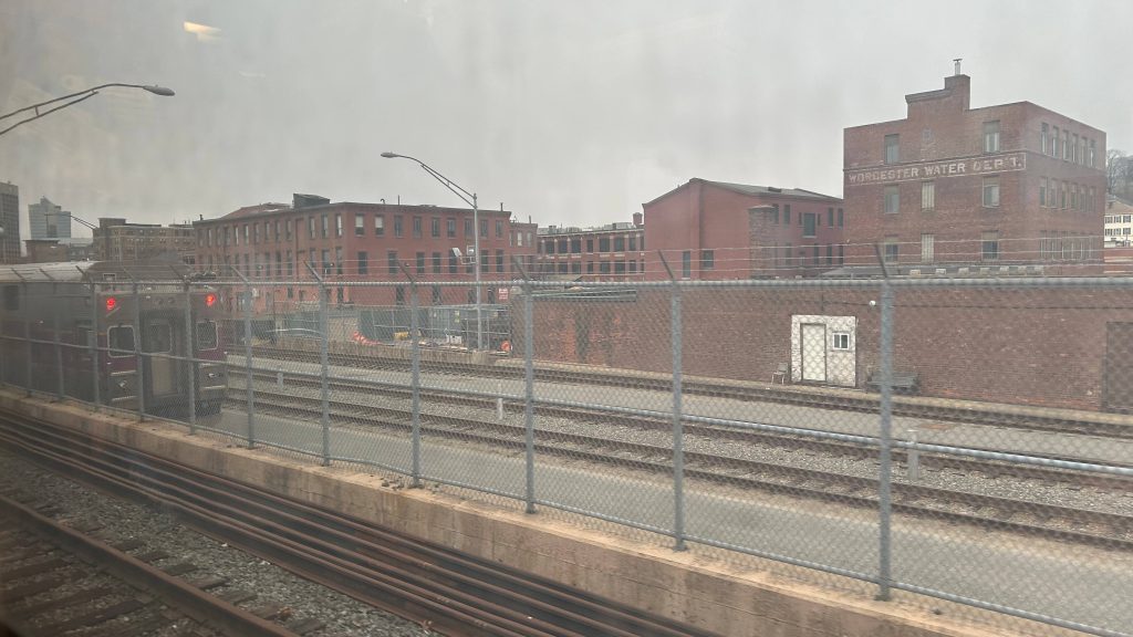
ATTEMPT #1, 2025-03-15: I woke up at the asscrack of dawn, hoping to utilize the 40 minute turnaround period to do this station review. Unfortunately, due to unexpected interlocking work in Westborough area, this didn’t pan out. We held at Southborough as the inbound train was wrong-railing through HALF OF THE LINE, which took a while. Then, we proceeded up once the train cleared, the engineer had to ask for verbal permission for a NORAC Rule 241 (to those not versed in railroading jargon, a Rule 241 is permission to pass an absolute stop). This……took a while, and when all was said and done, we finally got to Union Station. However, I only had 3 minutes to do much of anything. And, since the next train was in 2 hours…I was fucked. Why? Well, I had made plans to ride Brooke’s train and to spend the day with Nat as well, and having to arrive back into Boston at almost 1PM would have derailed this greatly. So, back to the drawing board I go, to attempt again with my entire morning cleared out, as my only other real options for handling this were to either throw away my errands for the 17th (not happening as laundry takes a while) or to wake up at the asscrack of dawn on the 22nd (this was the only other viable option). With that in mind, I’d have to trudge on for another week before I could attempt to tackle this beast again.
ATTEMPT #2, 2025-03-22
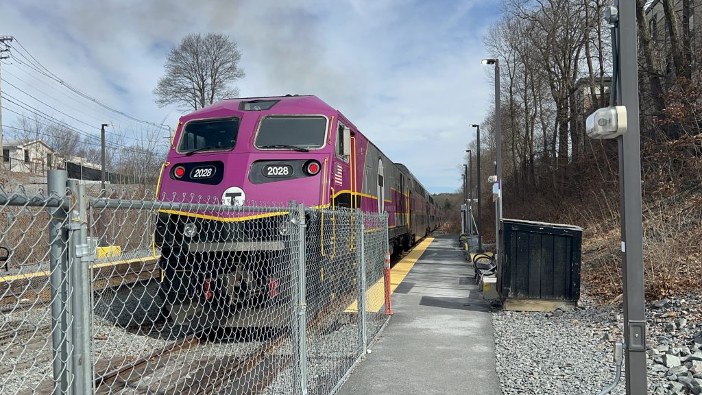
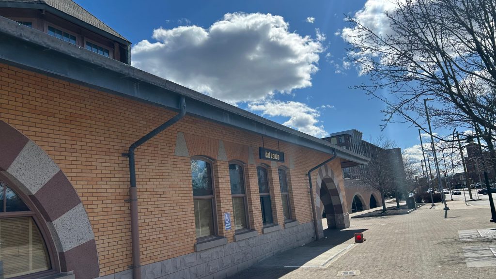
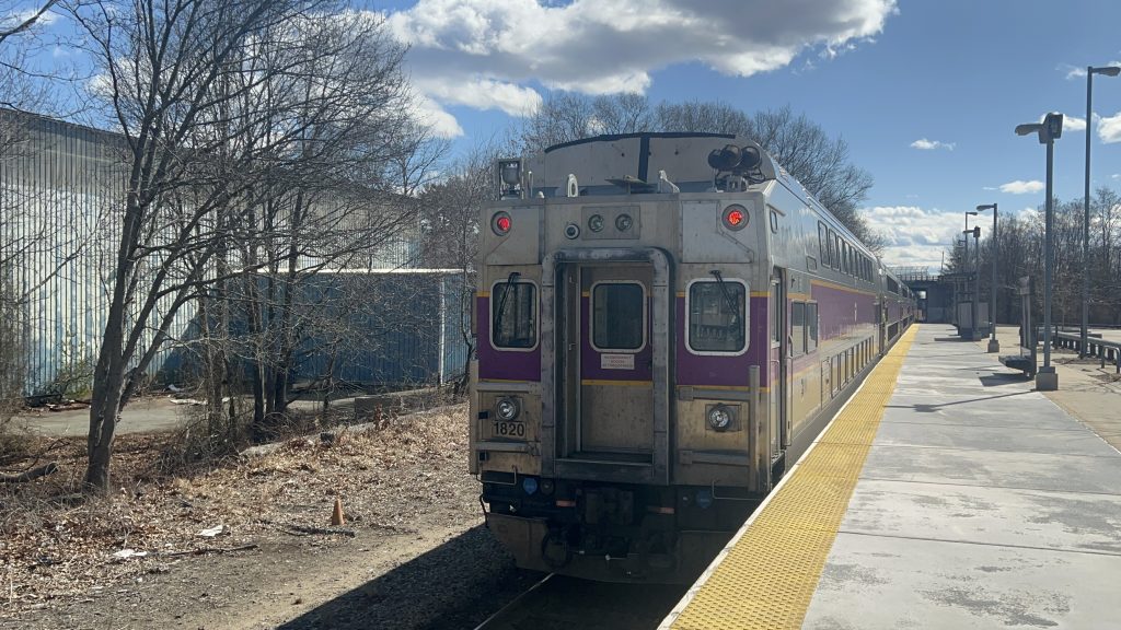
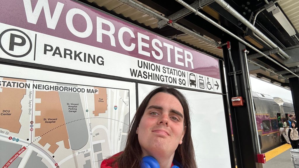
So, after my last attempt got botched horrifically due to UNEXPECTED TRACKWORK IN WESTBOROUGH AREA, I had to come back up. And, given the fact the opening of the South Coast extension was imminent, I figured today (2025-03-22) was a good day to dry run waking up at such an ungodly hour (2am!!!!!). With that in mind, I hopped on the first Commuter Rail train of the morning, changed at South Station (rather than Back Bay), and pressed on all the way to Worcester. This time, I not only carved out 2 extra hours in my schedule, but also took my sweet time with this one. It’s the last entry, for crying out loud! So, with a smooth arrival into Worcester Union Station, here goes nothing.
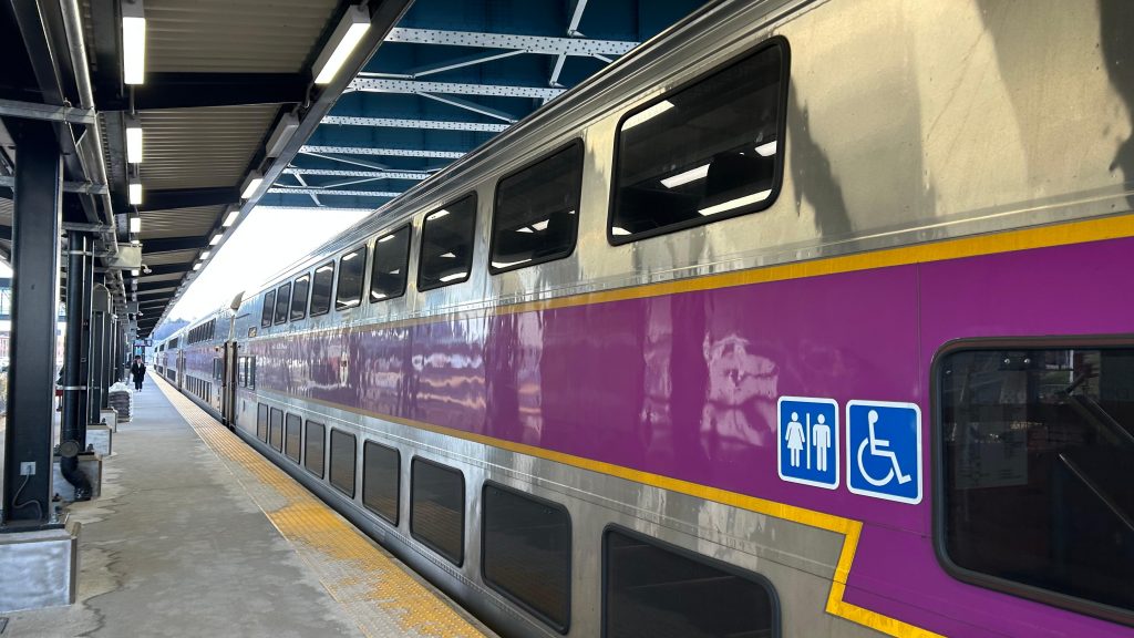
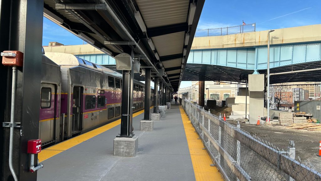
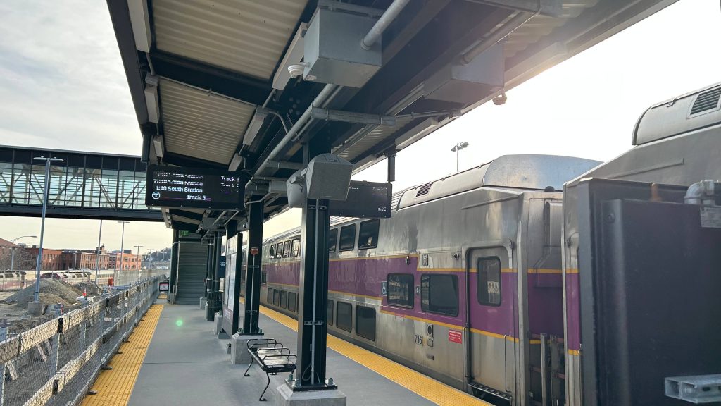
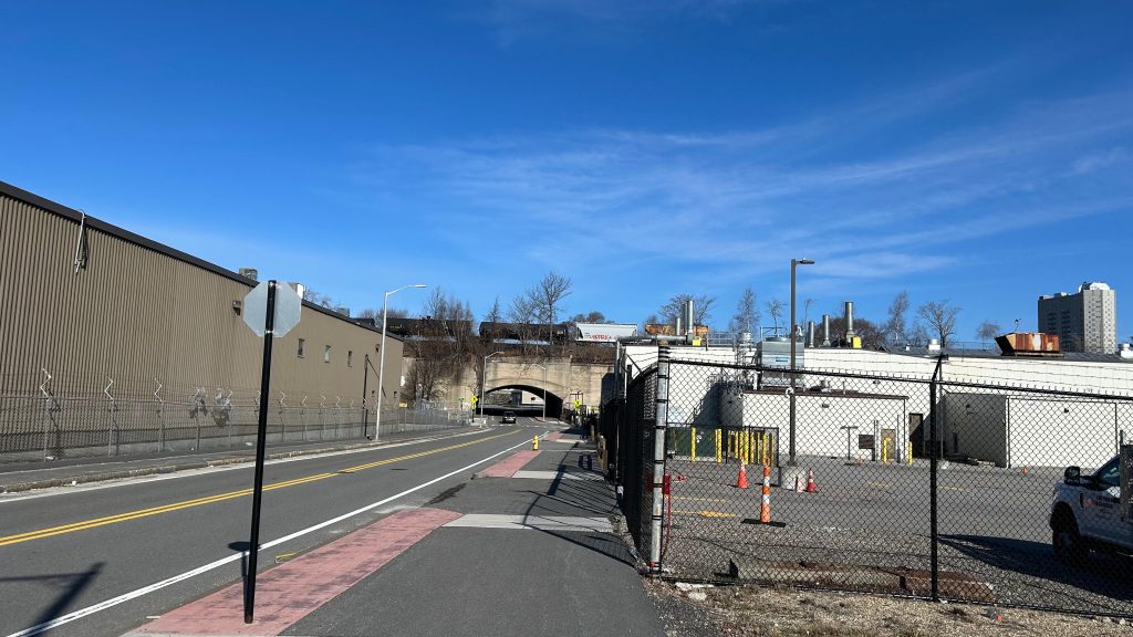
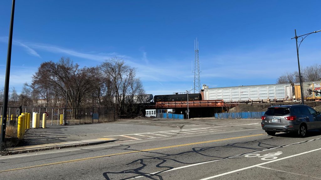
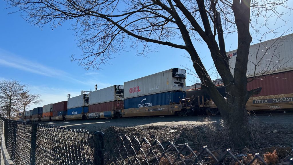
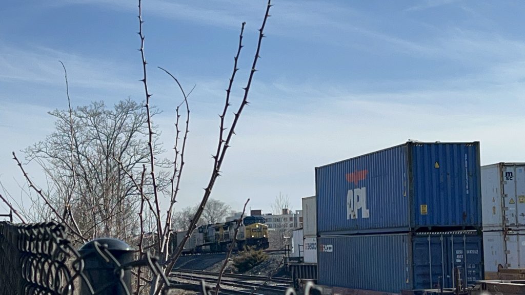
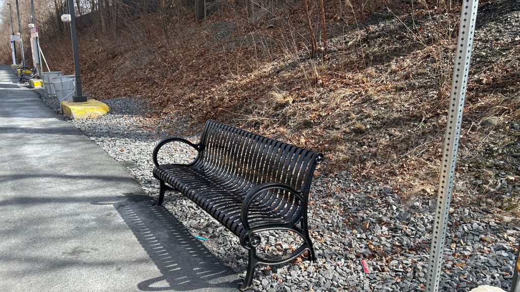
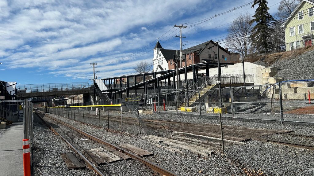
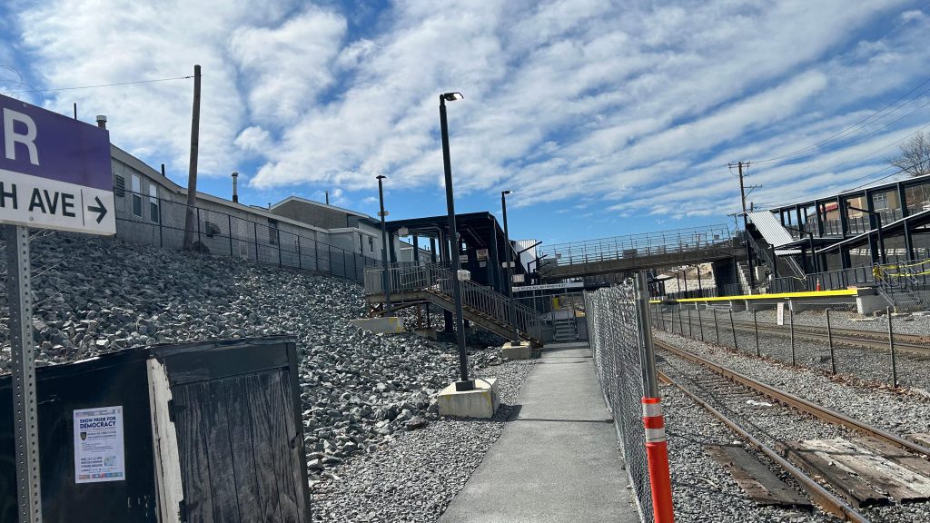
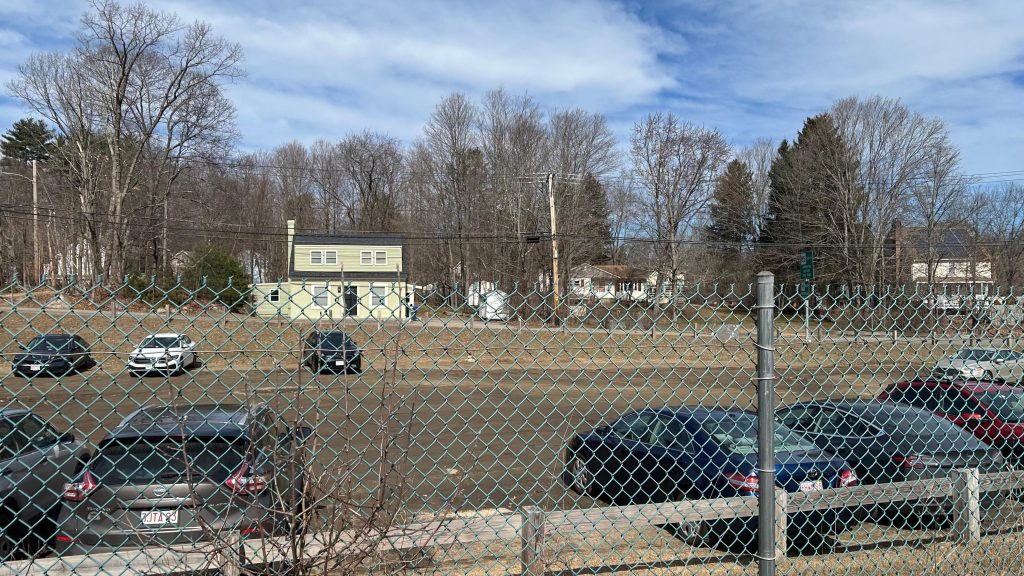
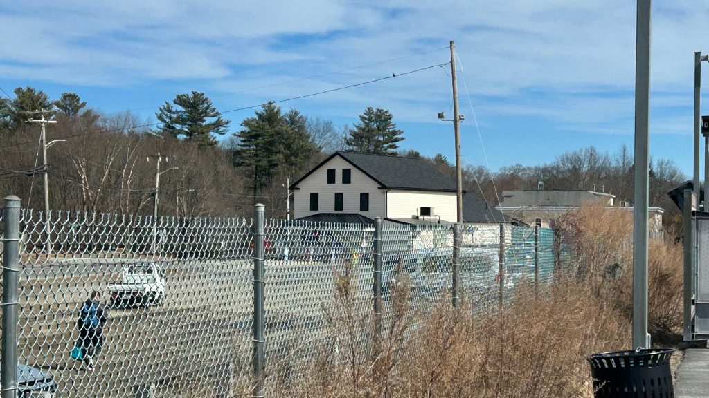
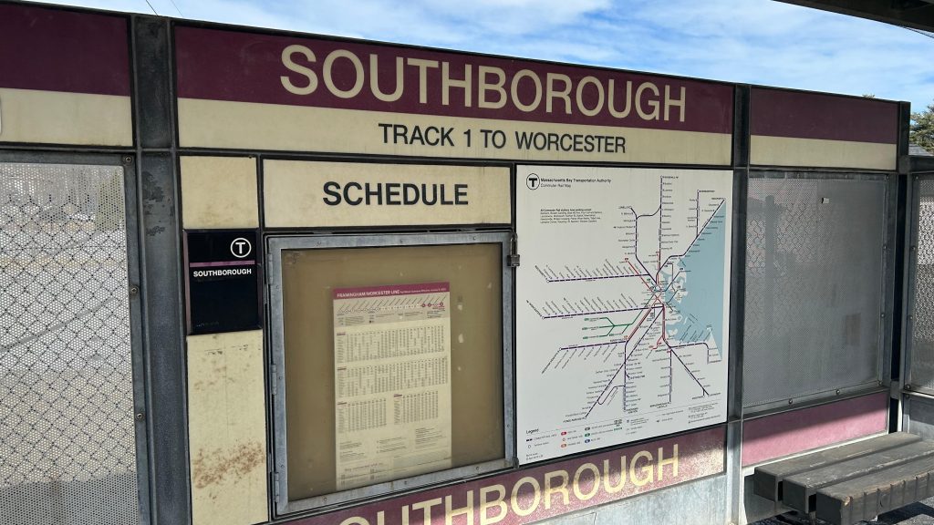
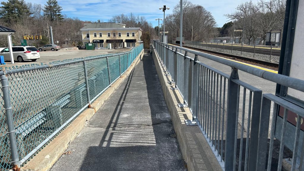
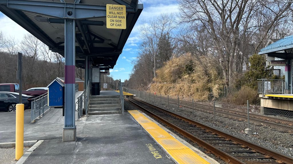
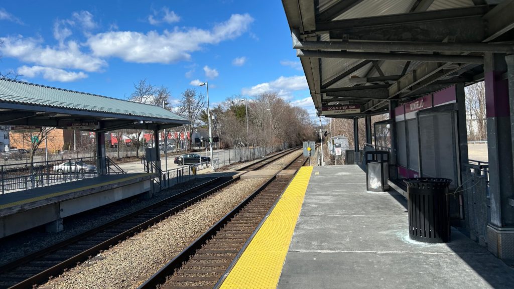
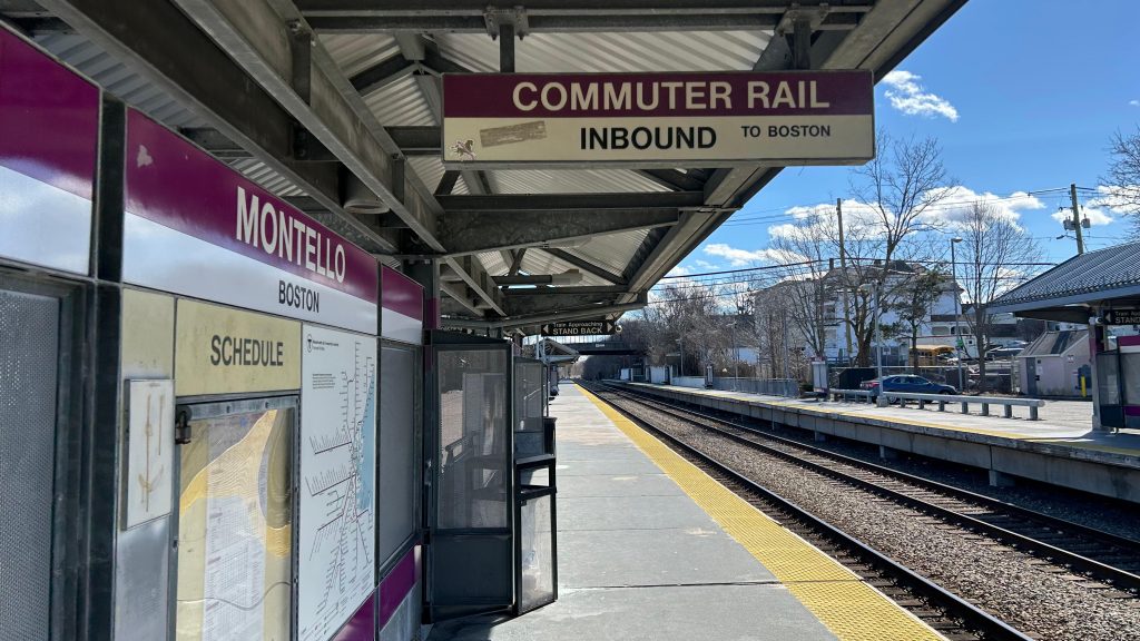
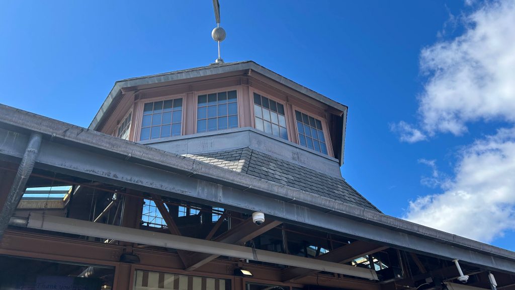
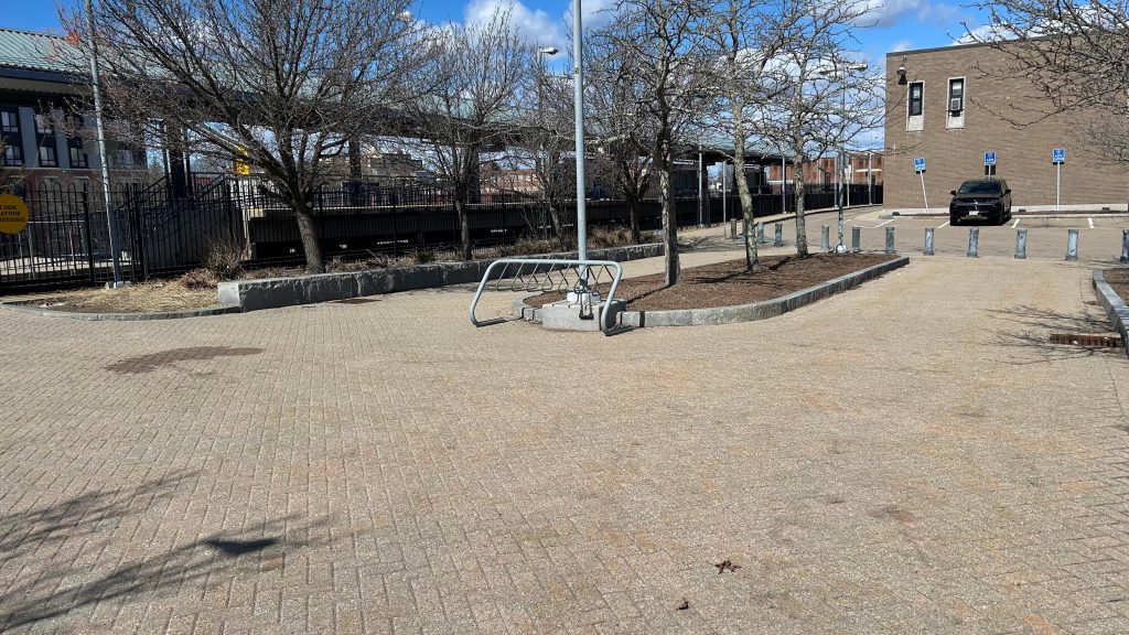
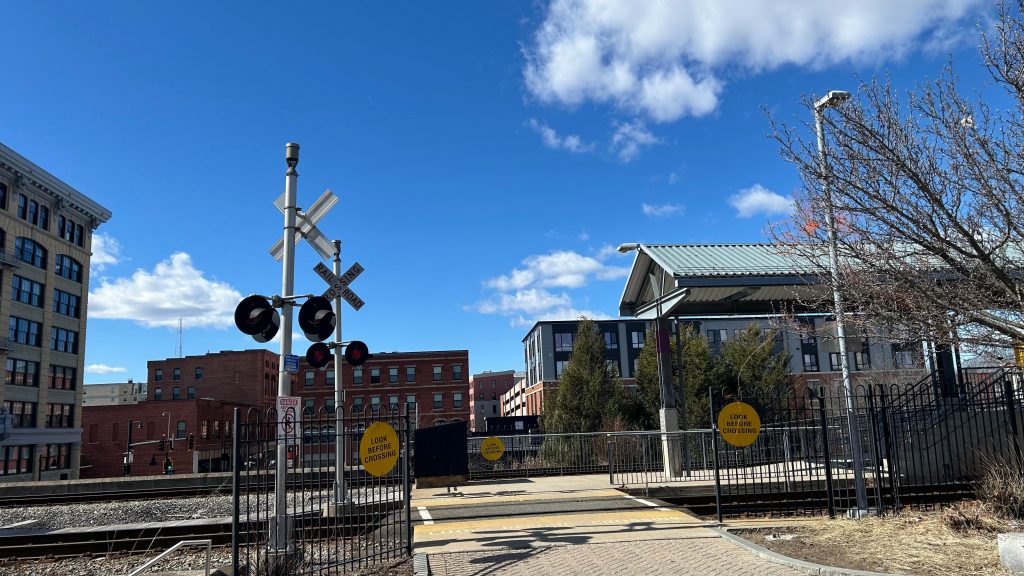
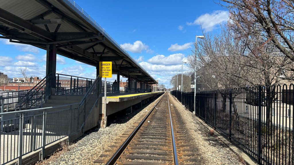
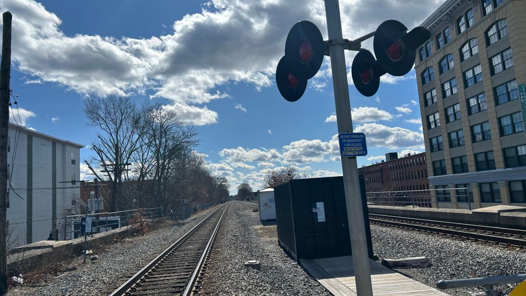
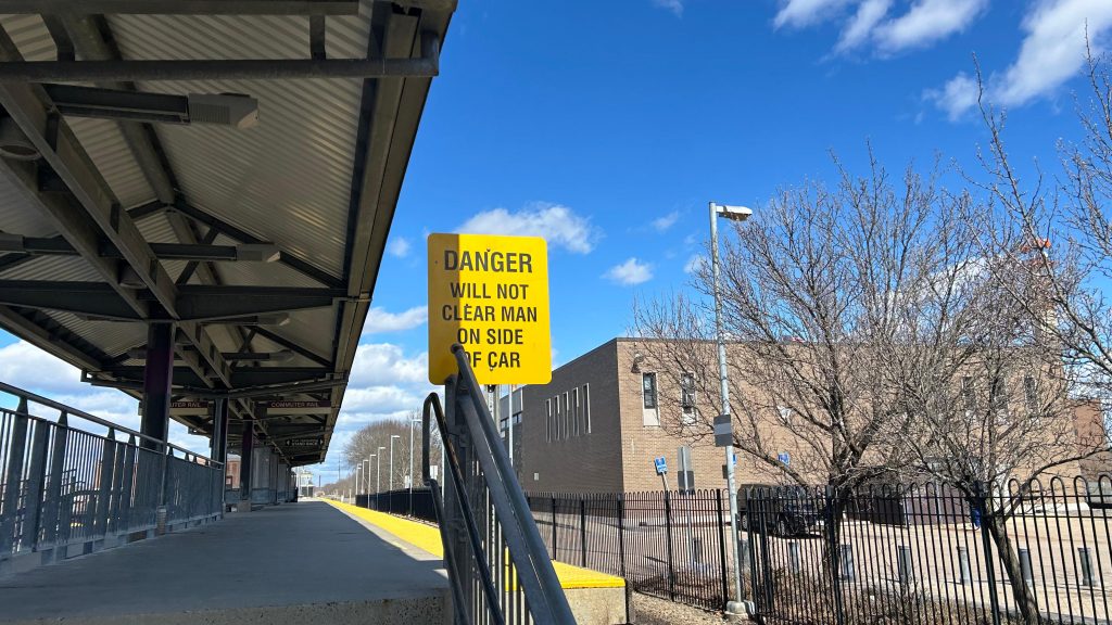
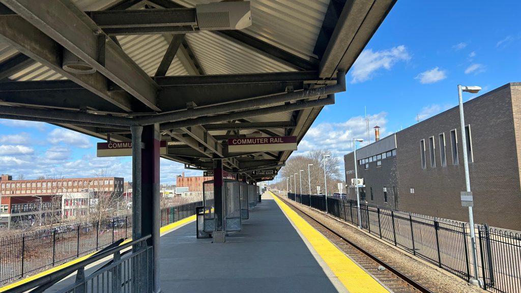
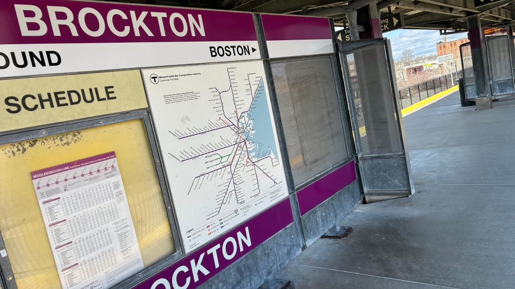
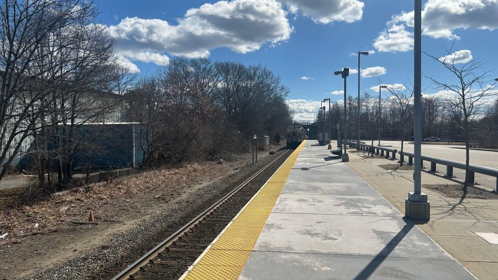
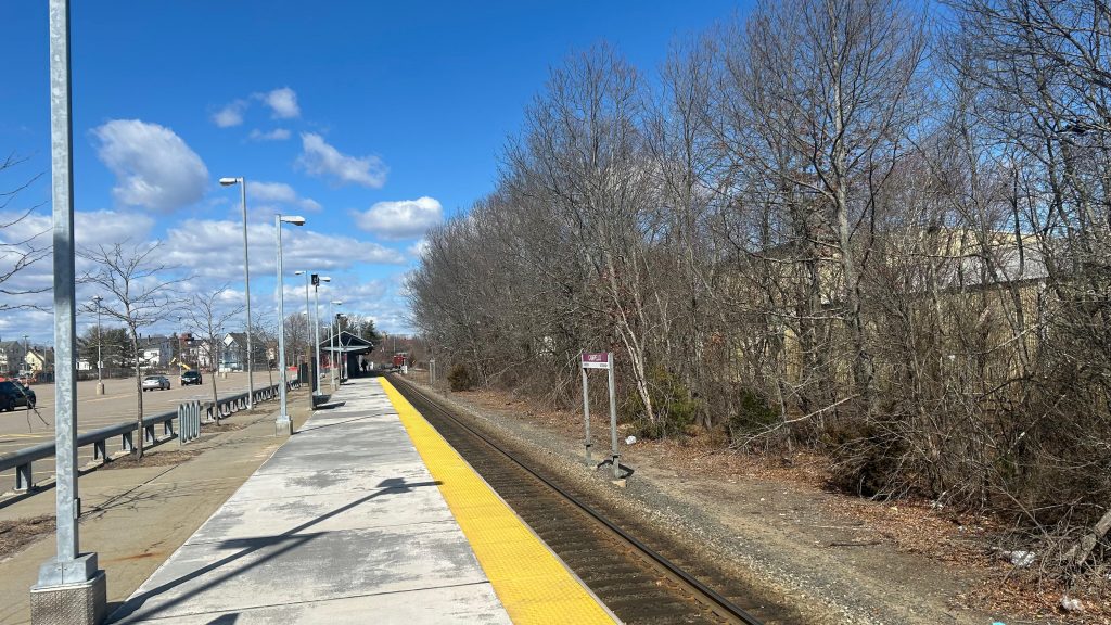
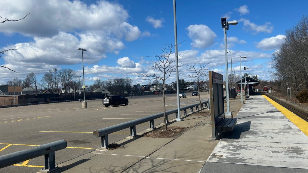
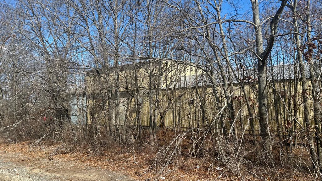
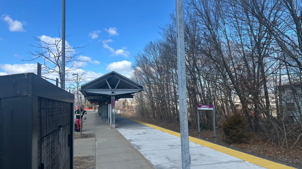
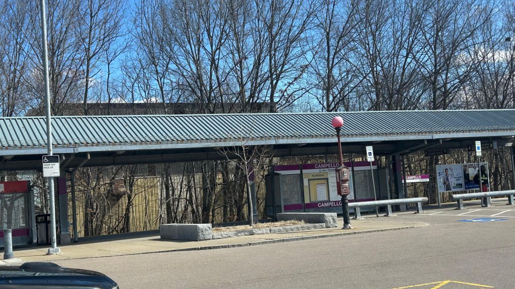
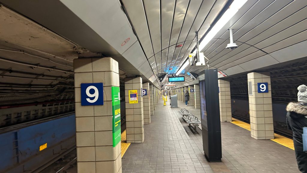
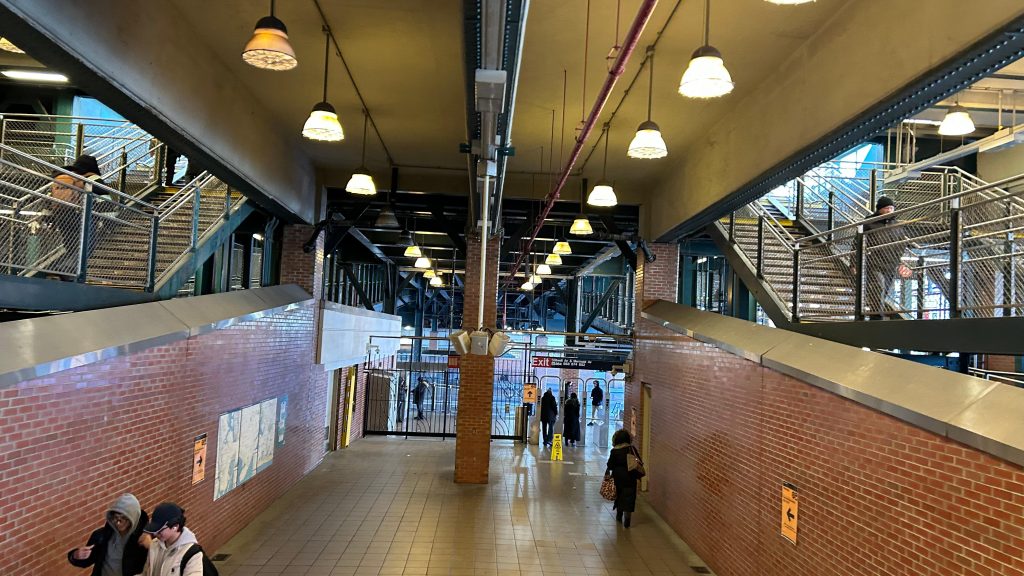
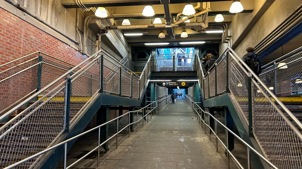
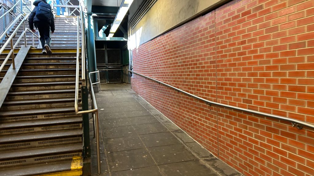
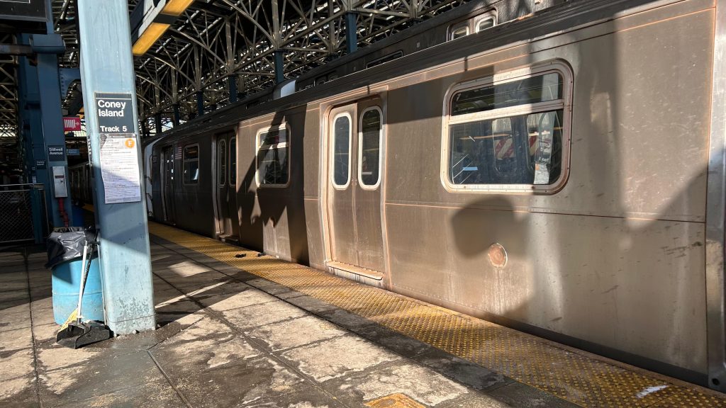
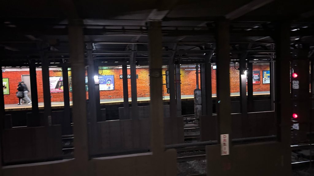
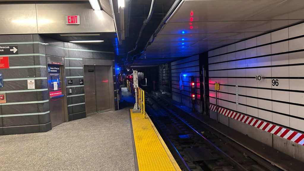
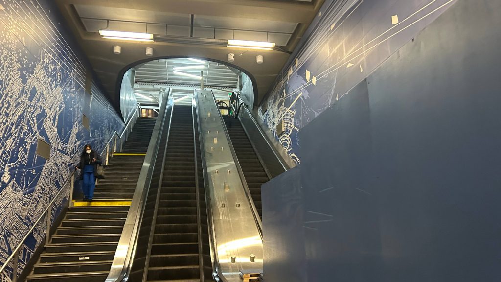
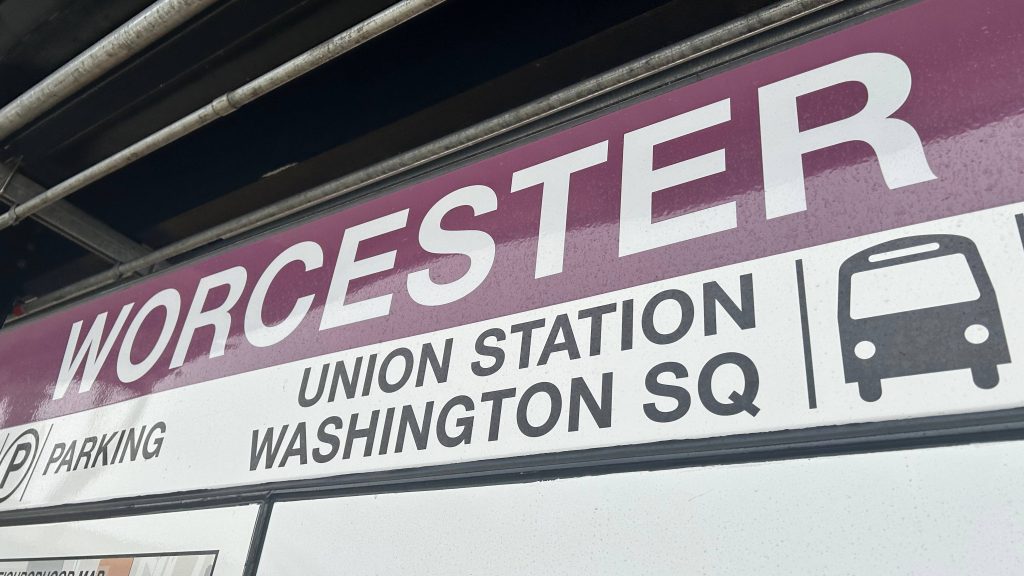
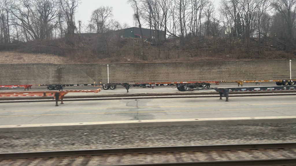
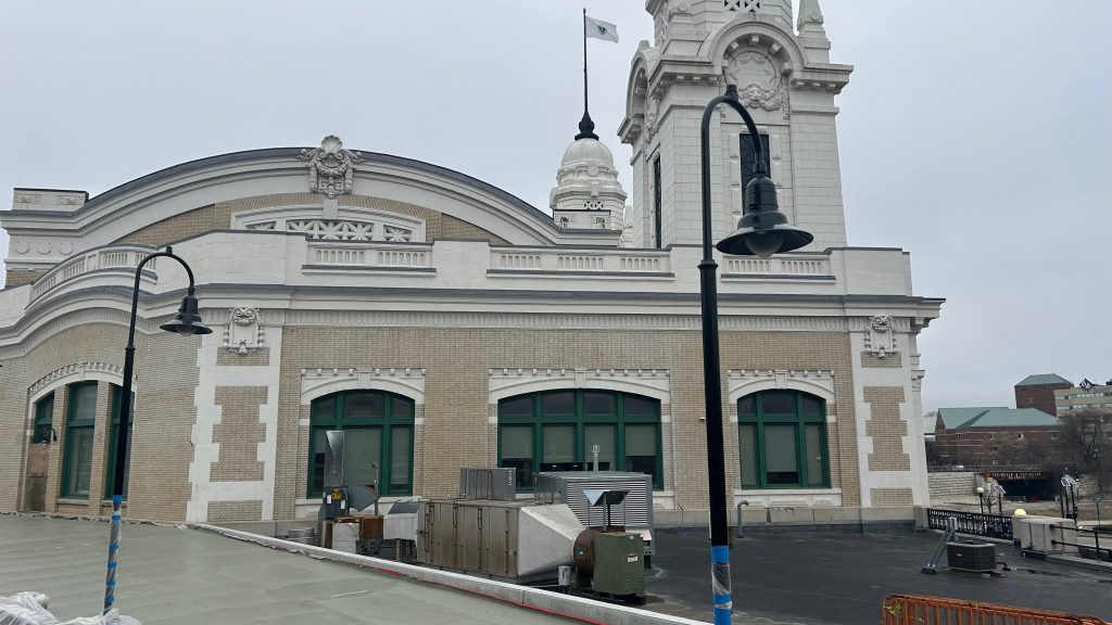
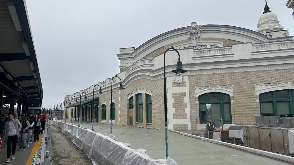
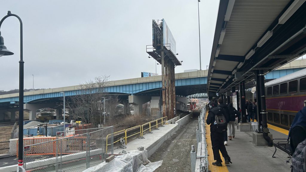
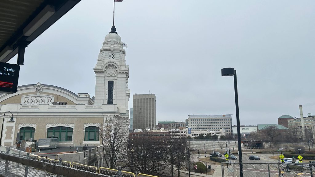
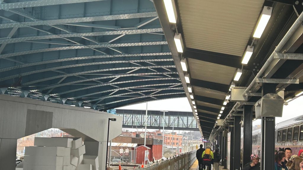
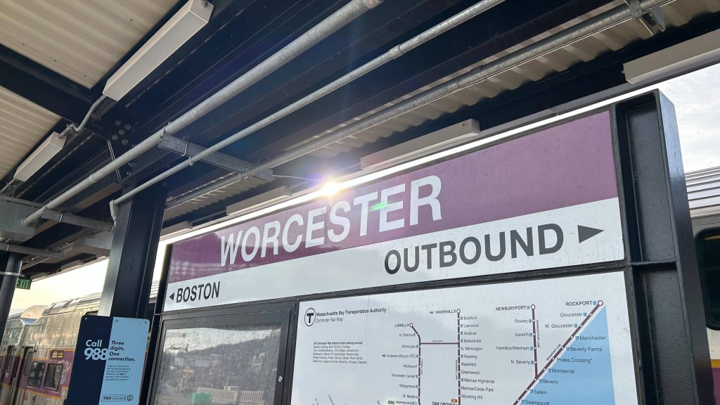
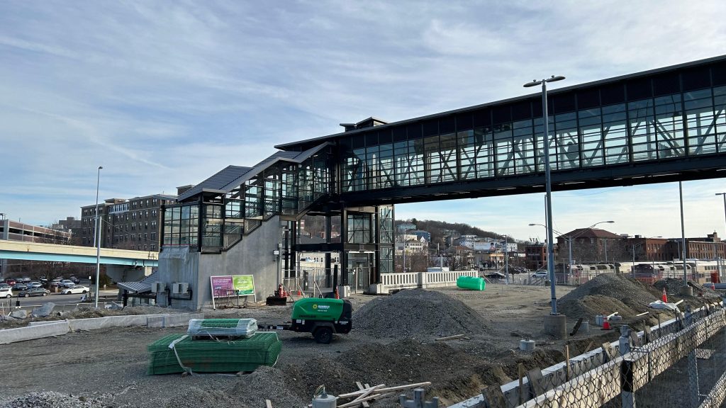
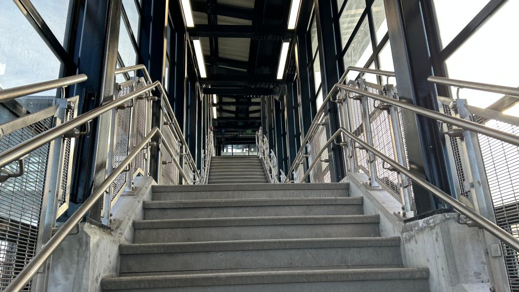
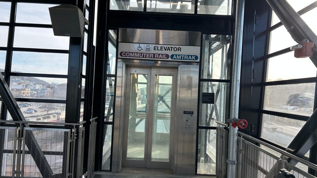
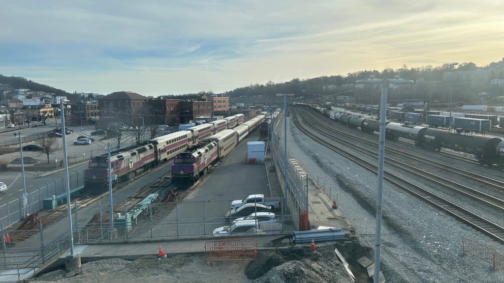
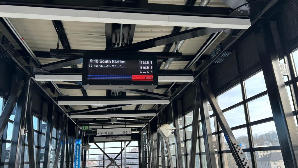
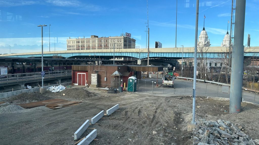
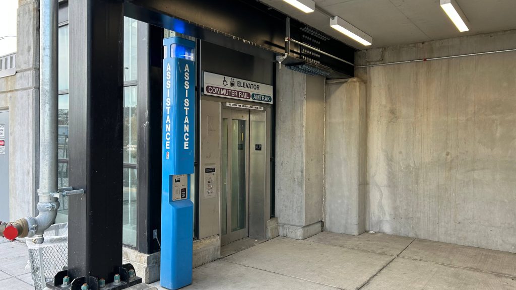
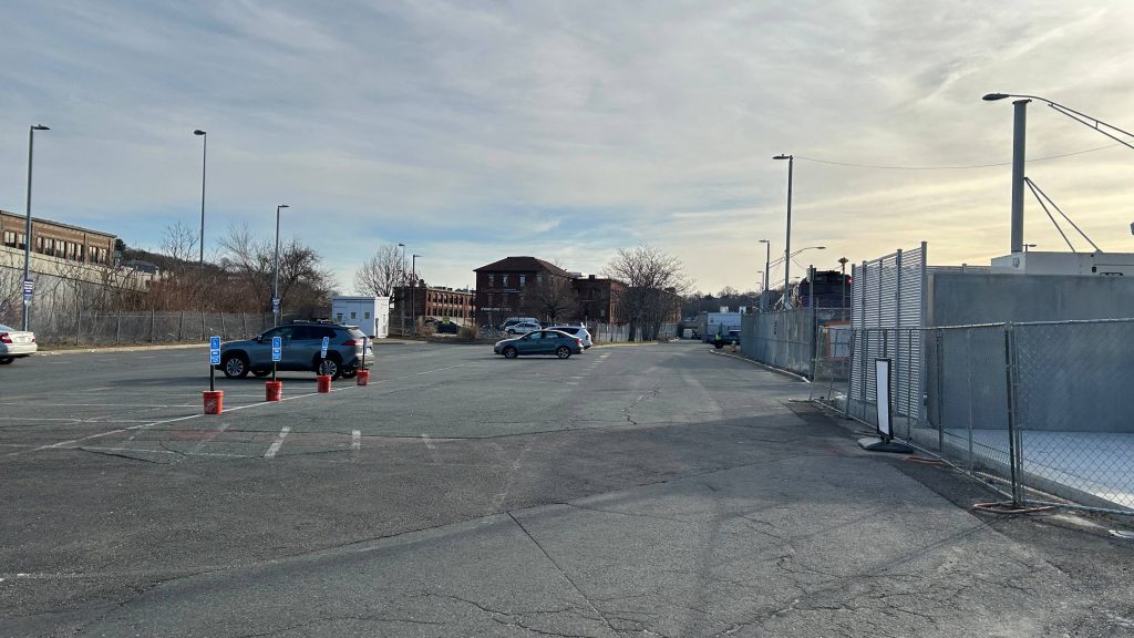
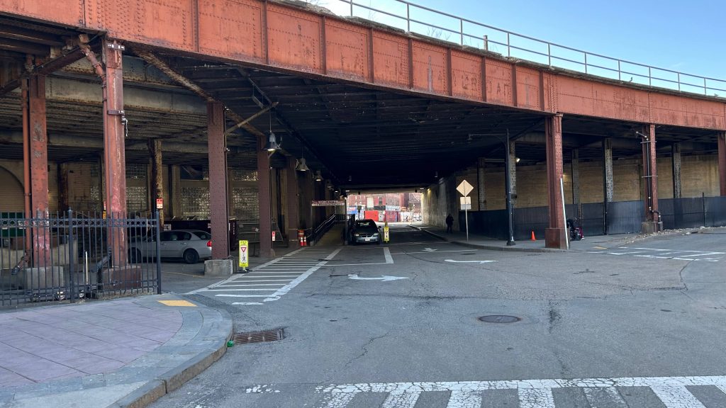
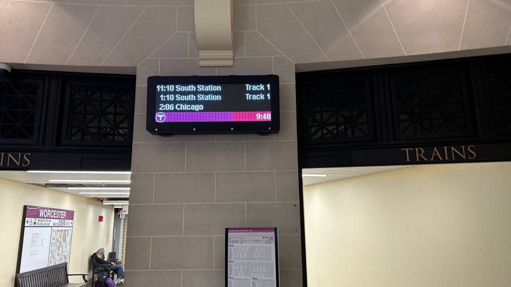
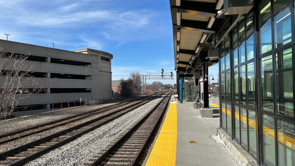
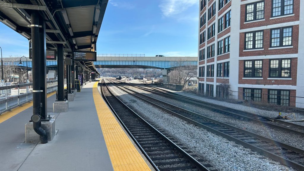
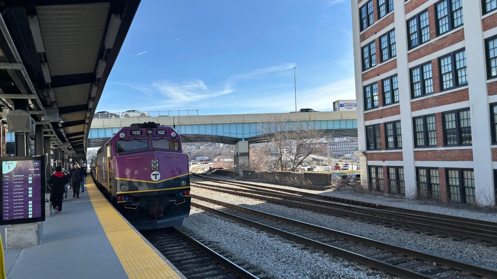
The platform was decent – the PA system is pretty beefy despite the fact that: 1. only commuter trains stop here, and 2. only one Amtrak train leaves here each day (the Lake Shore Limited to Albany & Chicago). Benches line the platform, as does even proper countdown clocks ala what you’d see at Back Bay???? DAMN. I went to check out the pedestrian bridge and it was actually decently filled – as there was a departure board up there. Well shit, that’s ACTUALLY pretty helpful! There’s also a provision for a second track (does not exist presently), and I think the plan is to build said second track so more than one train can serve the station at a time. This would be important for the proposed East-West Rail proposal that would connect Boston with Springfield, the Berkshires, and Albany. There’s even a decent amount of surface parking to go around – and you can also see both the Commuter Rail and CSX yards from here as well. Cool!
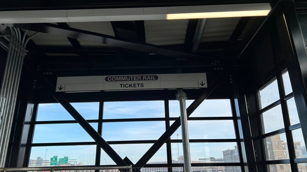
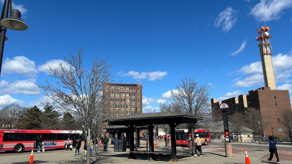
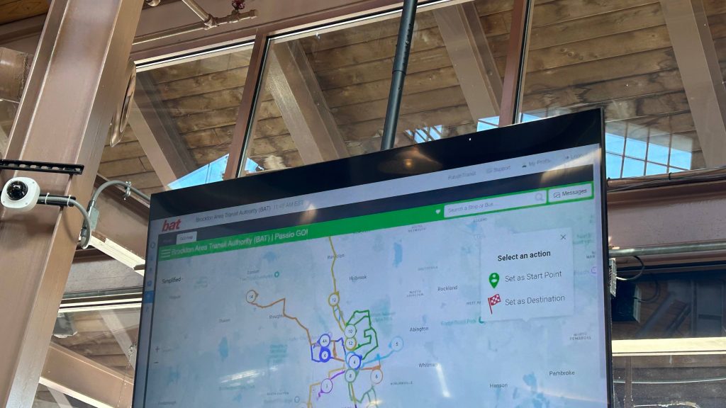
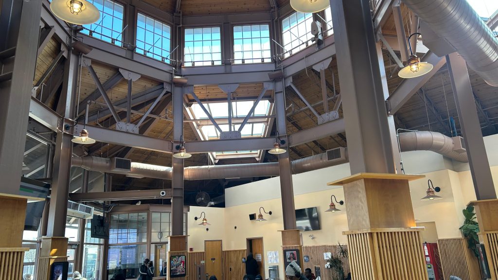
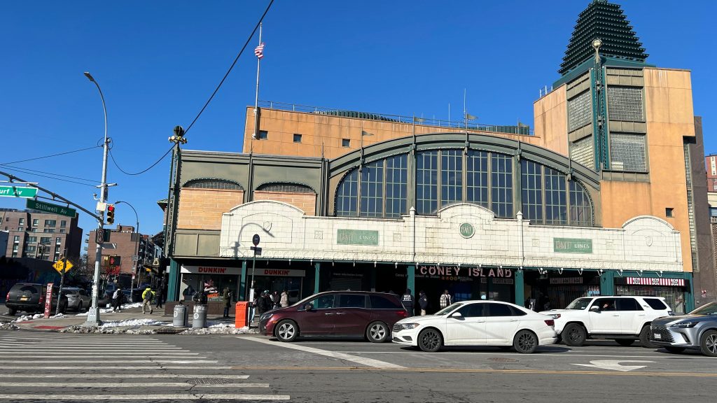
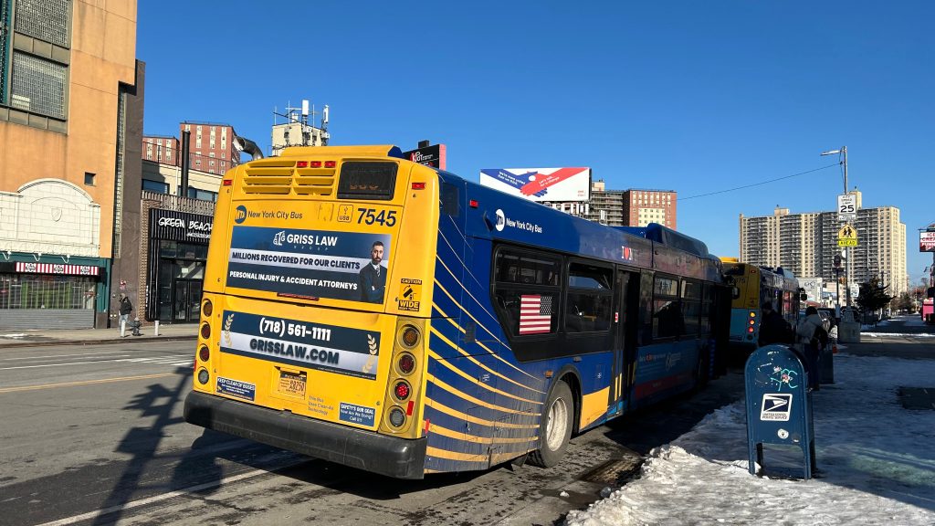
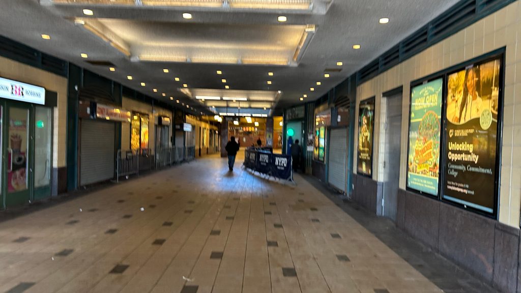
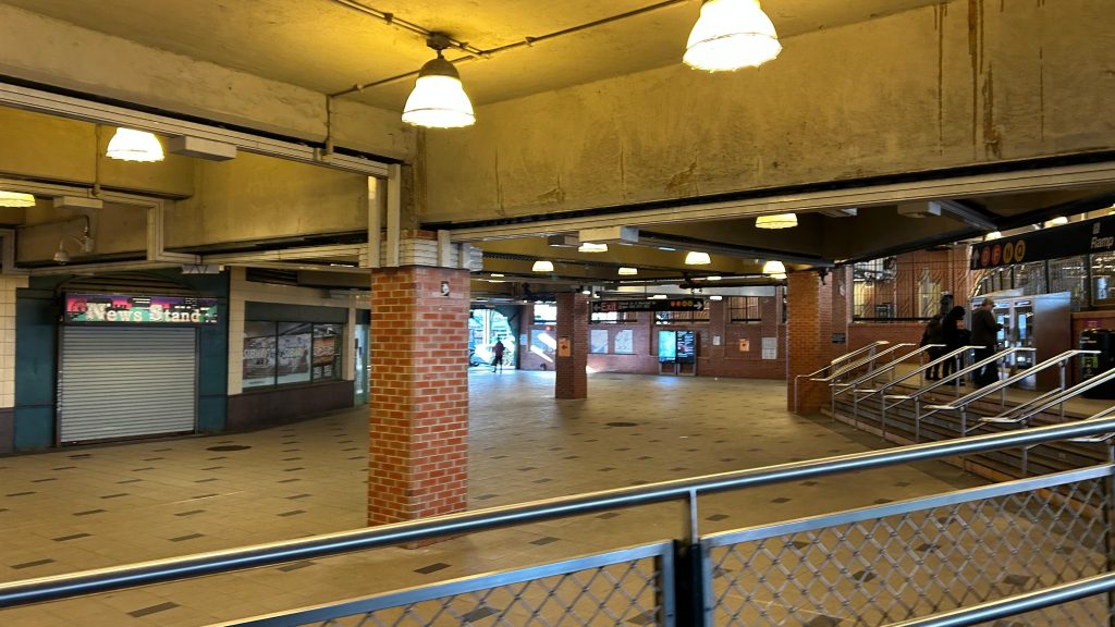
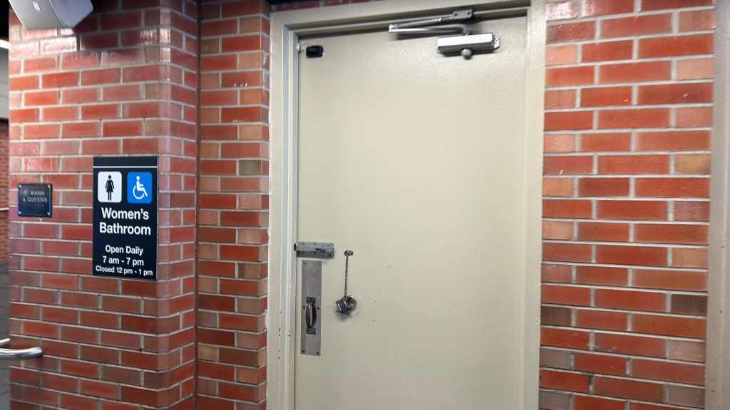
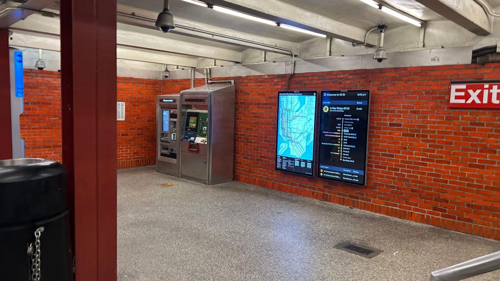
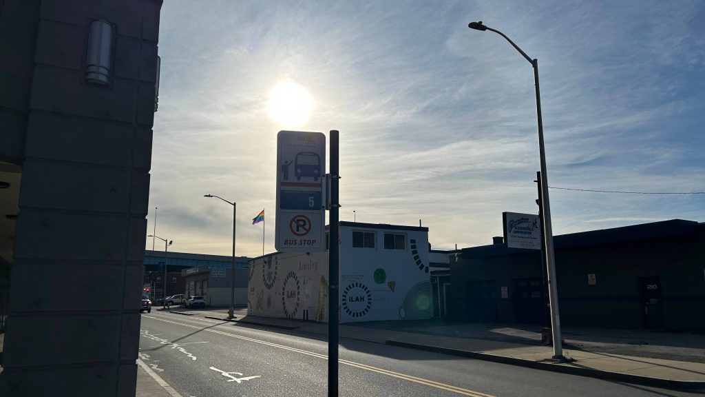
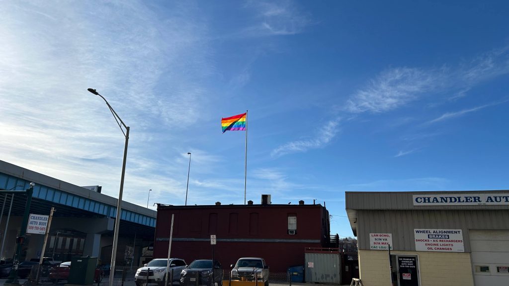
Now, if this was all said and done, I’d easily give this at least a 7 or an 8, by virtue of being a nice and modern, if single-tracked when it should be double-tracked, terminus station. But, there’s more. Union Station is well known for having a grandiose hall and waiting area, with a parking garage, intercity buses, and the WRTA’s main hub as well. The main hall has a couple of food tenants, restrooms, and can even be rented out for events. MART’s Clinton/Worcester shuttle is apparently prescribed to pick up at the front door of the event hall. Further in, you have a departure board INSIDE the station, a Worcester PD substation, a CHARLIECARD MACHINE(?!) – YES, YOU CAN ACTUALLY RELOAD YOUR CHARLIECARDS AND BUY COMMUTER RAIL TICKETS OUT HERE!, and even the main WRTA bus hub is out here. That isn’t too special to ring home about, as it’s got several sheltered berths and benches and the usual. Vs. something like BAT, the WRTA doesn’t have their shit together nor do any of their routes have live tracking with GTFS. At least with BAT, the schedule is padded to Hell and you have The Pulse. No such thing exists here. However, the WRTA DOES have an indoor waiting room. It’s passable! Oh, yeah, the PVTA’s B79 bus to ZooMass (UMASS Amherst) stops at the intersection of Harding and Franklin. Neat!
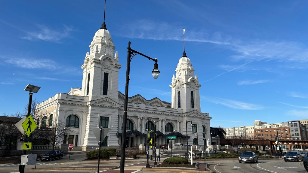
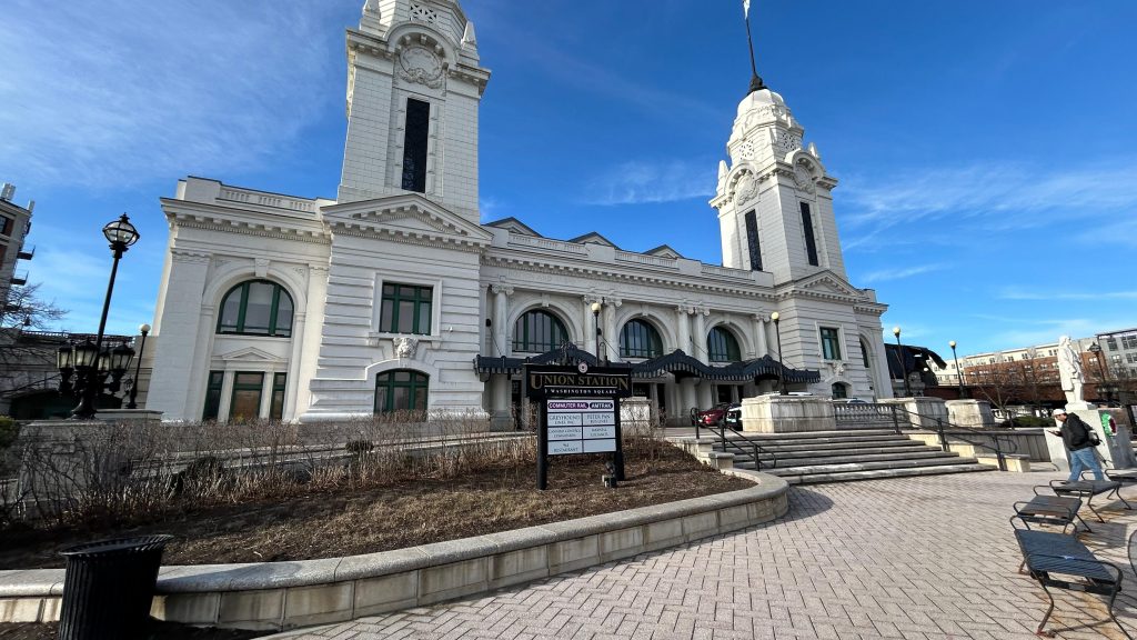
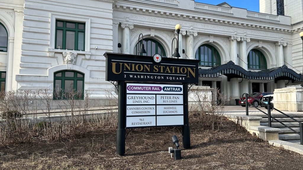
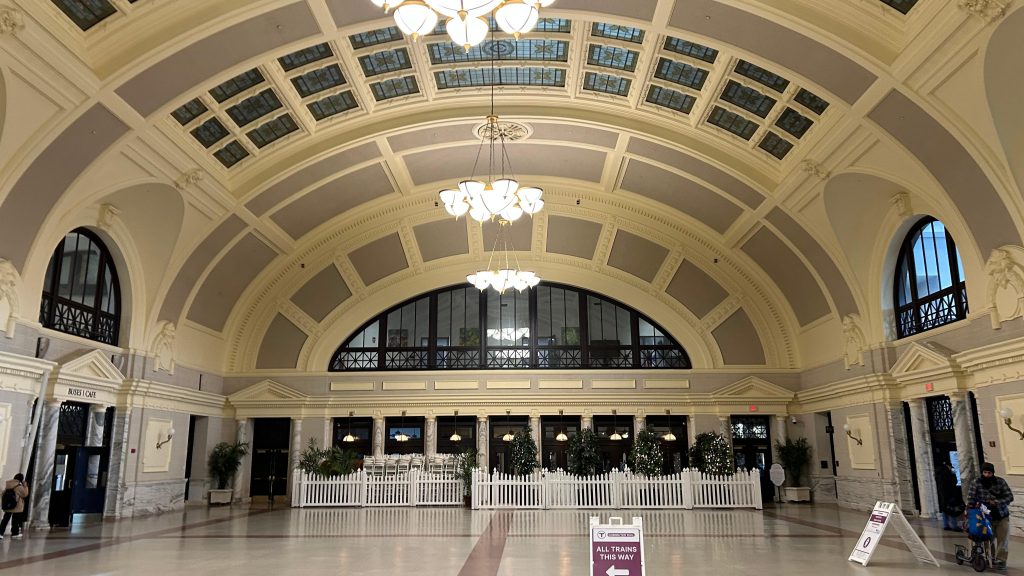
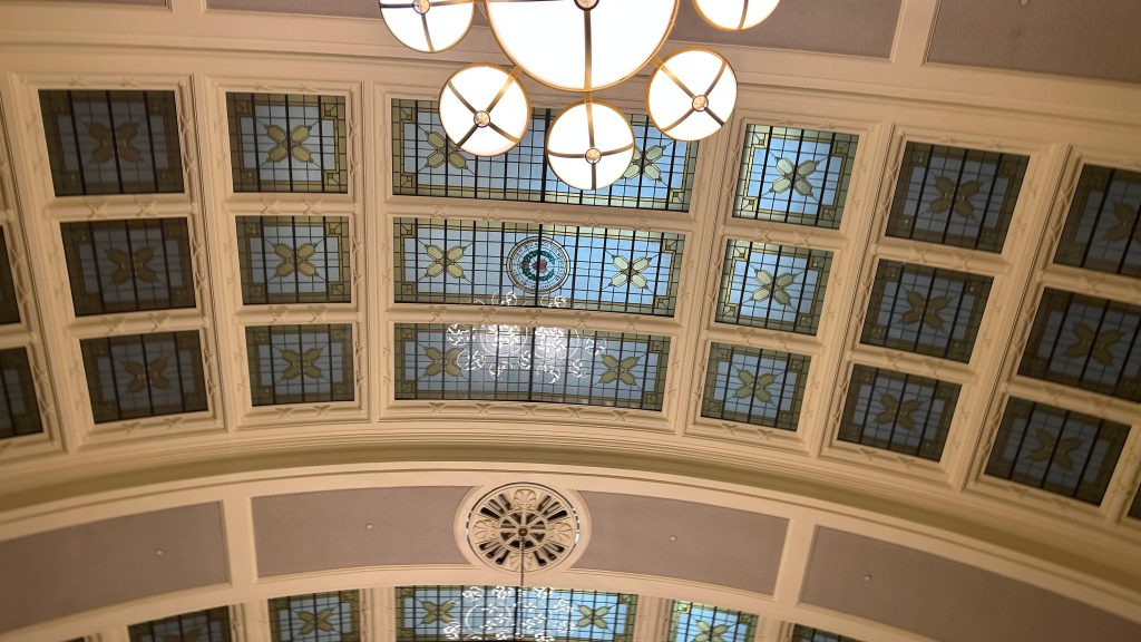
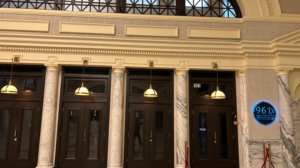
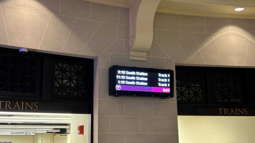
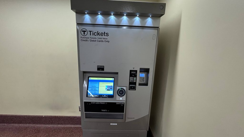
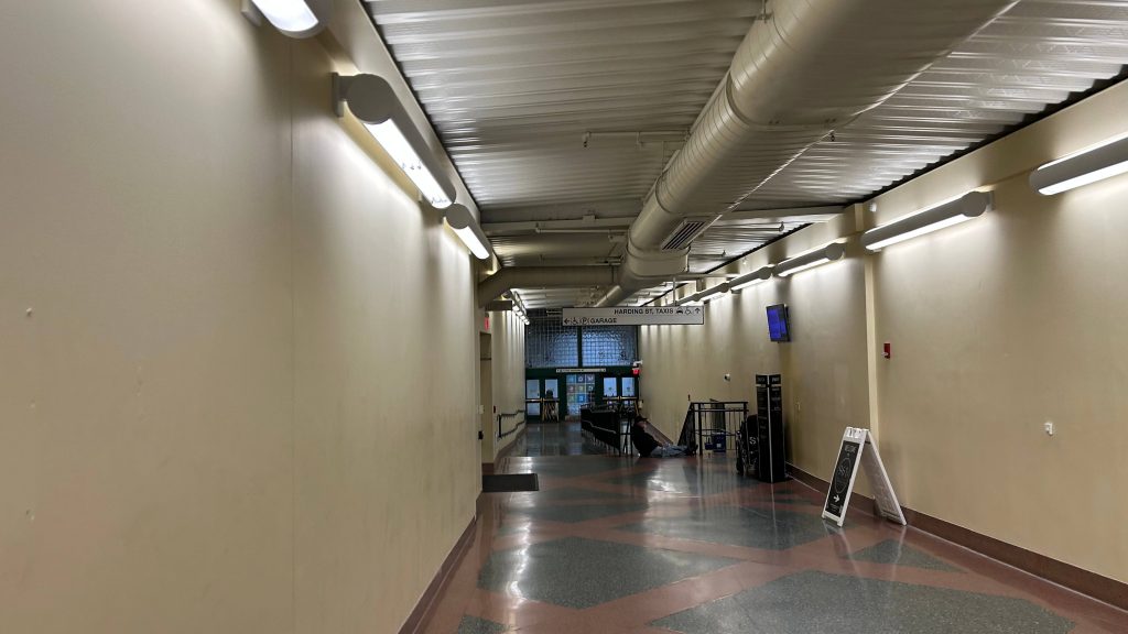
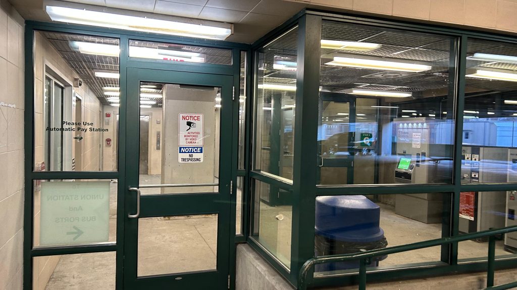
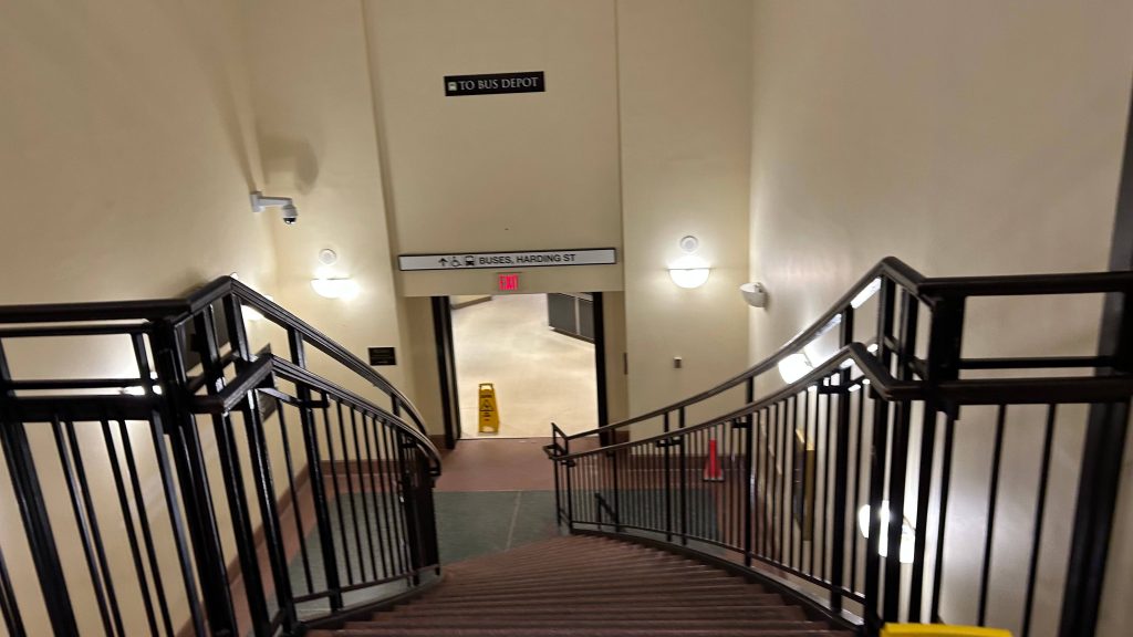
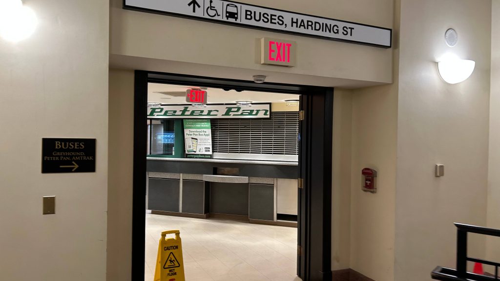
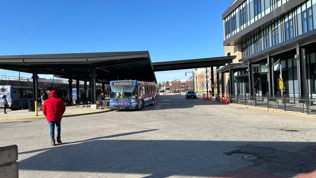
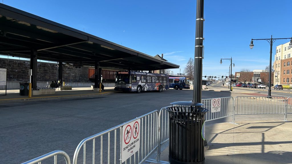
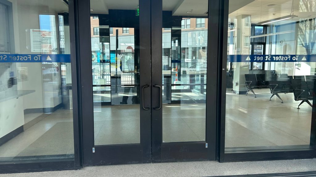
The good: A lot! It’s got a gorgeous station house, ticketing machines (nonexistent otherwise!), decent connectivity with intercity and local buses, signage that acknowledges the existence of Amtrak (where’s that at Framingham?!), a modern platform, overpasses with departure boards, departure boards in the main hall, a waiting area for the WRTA that’s open to the public, and is pretty well-located, being in downtown Worcester.
The bad: Signage for the PVTA and MART would be nice! I don’t have anything bad to say otherwise.
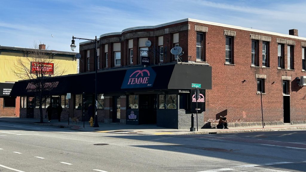
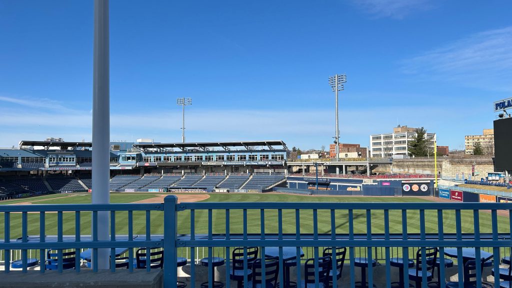
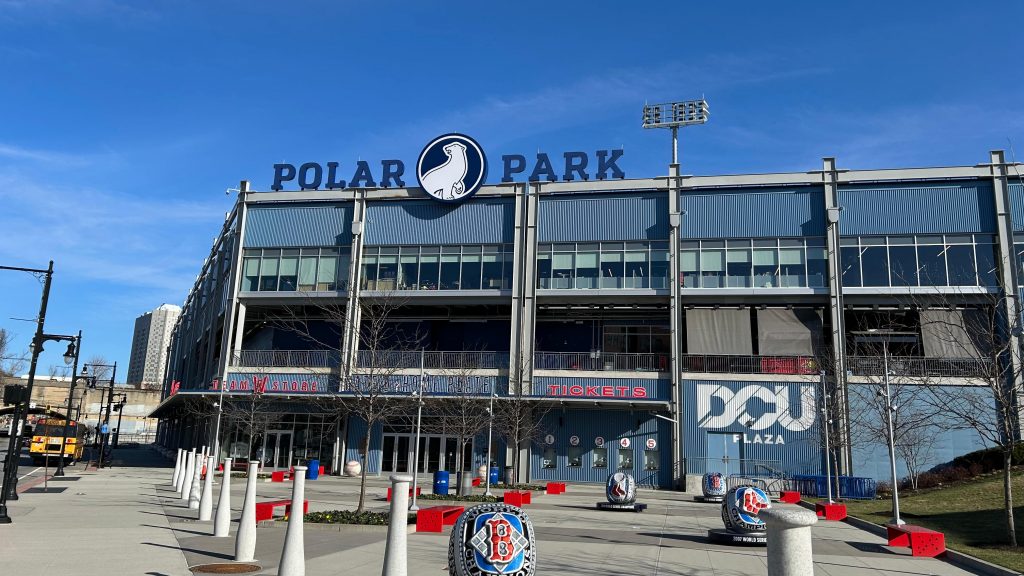
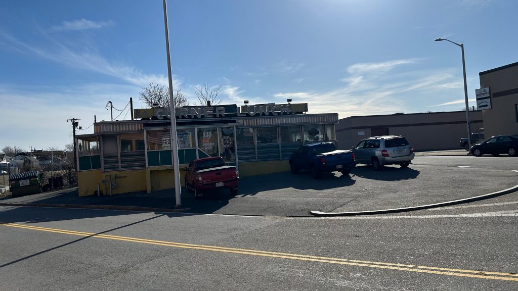
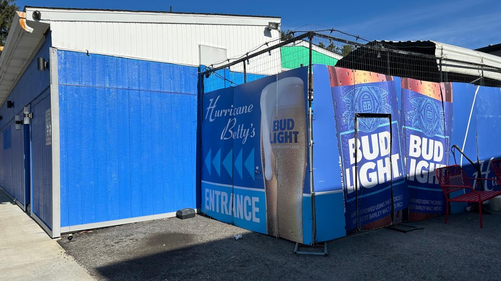
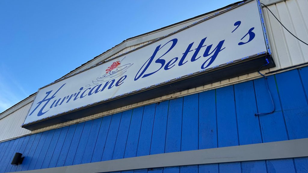
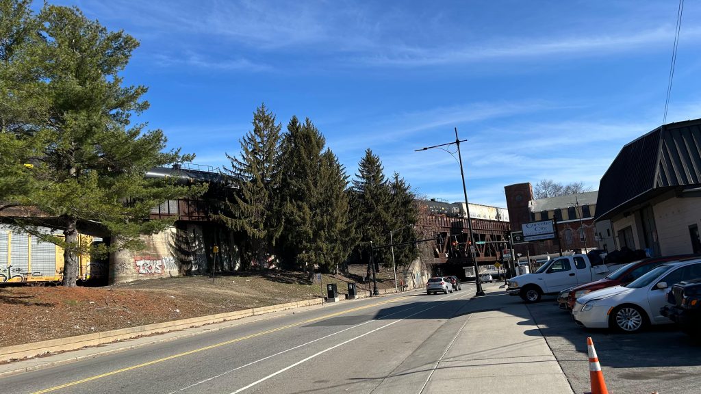
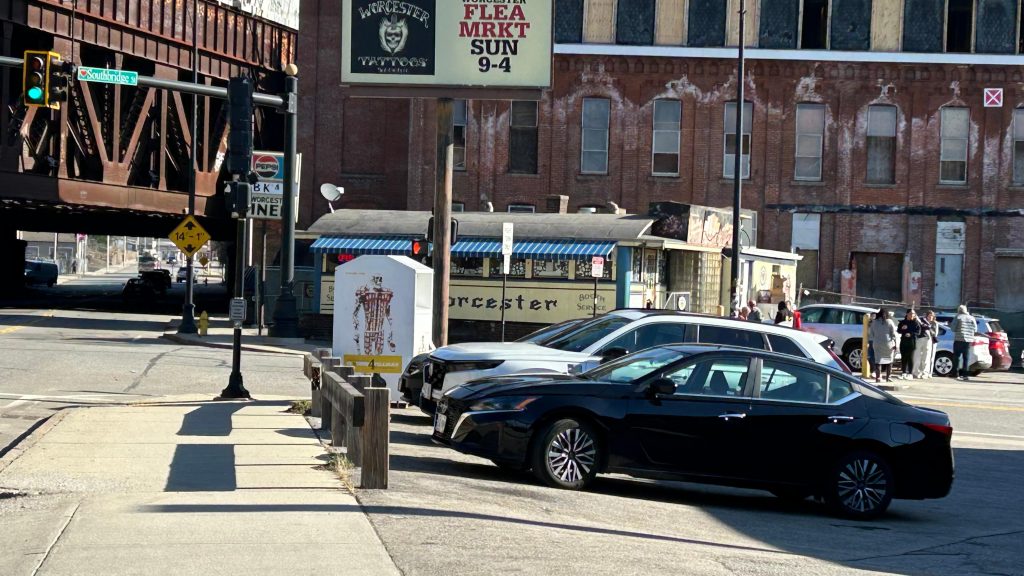
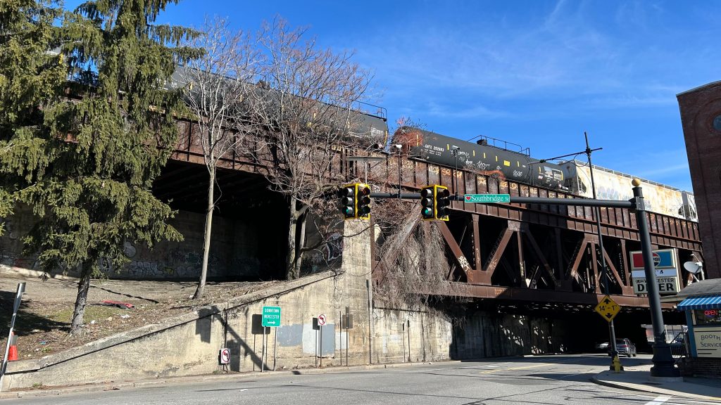
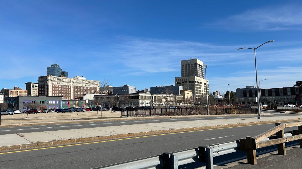
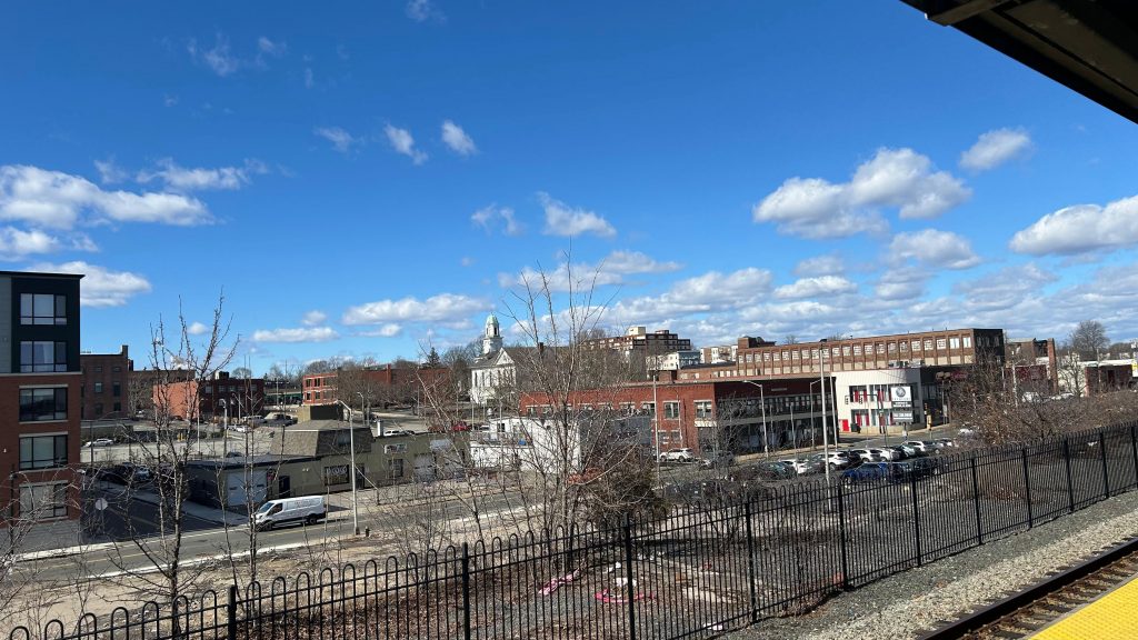
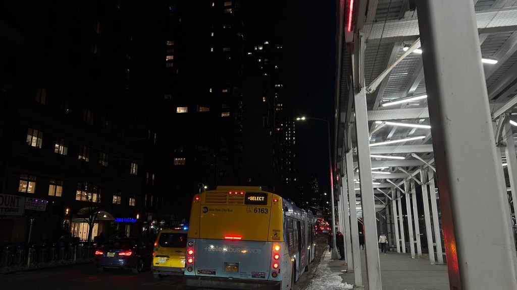
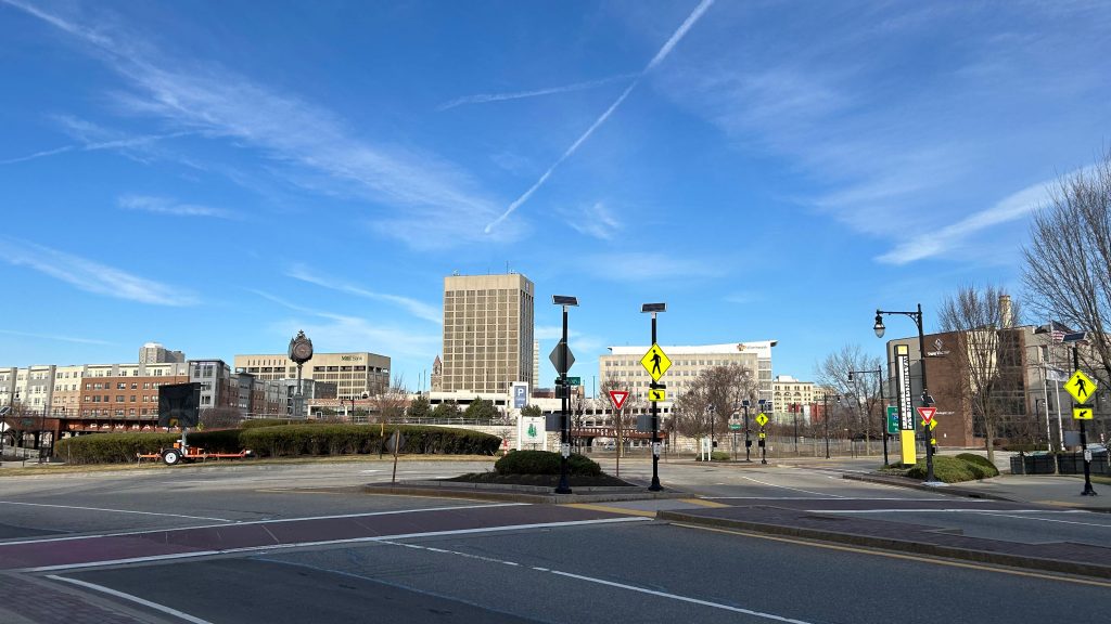
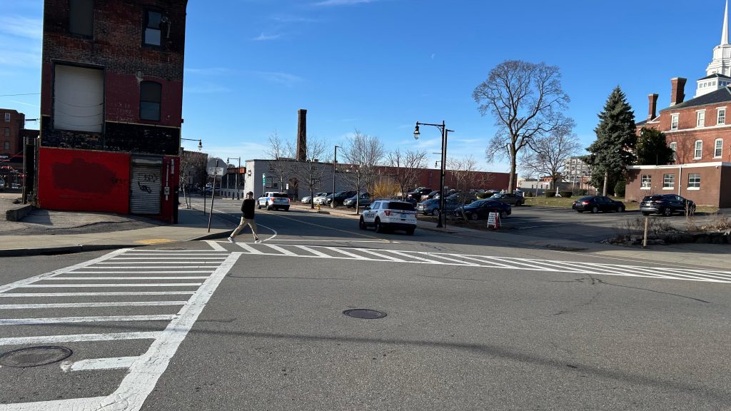
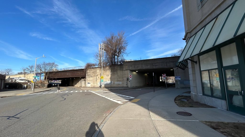
Nearby points of interest: Well, given this is in downtown Worcester, a lot, actually! I mean, you have everywhere the WRTA can bring you, ranging from several Walmarts, to where Higgins Armory used to be (RIP), Quinsigamond CC, Clark University, the Blackstone Valley Shopping Center, even out to places like Shrewsbury, the Auburn Mall, Southbridge, and even freakin’ Brookfield. Unfortunately, I can’t comment much as I haven’t ridden the WRTA much. Oh yeah, you can also get to Amherst and Ware via the PVTA’s B79 bus here, and MART runs a commuter shuttle from here to Clinton at peak hours, and express to Leominster and Fitchburg offpeak. As for thing closer to walking distance, you have Polar Park (home to the WooSox), the DCU Center, Femme (lesbian bar – yes, Ben, I will visit at some point), the Miss Worcester and Boulevard Diners, on Southbridge and Shrewsbury Streets, and even SWEATY BETTY’S (kids not allowed).
Transit connections:
Amtrak (Lake Shore Limited)
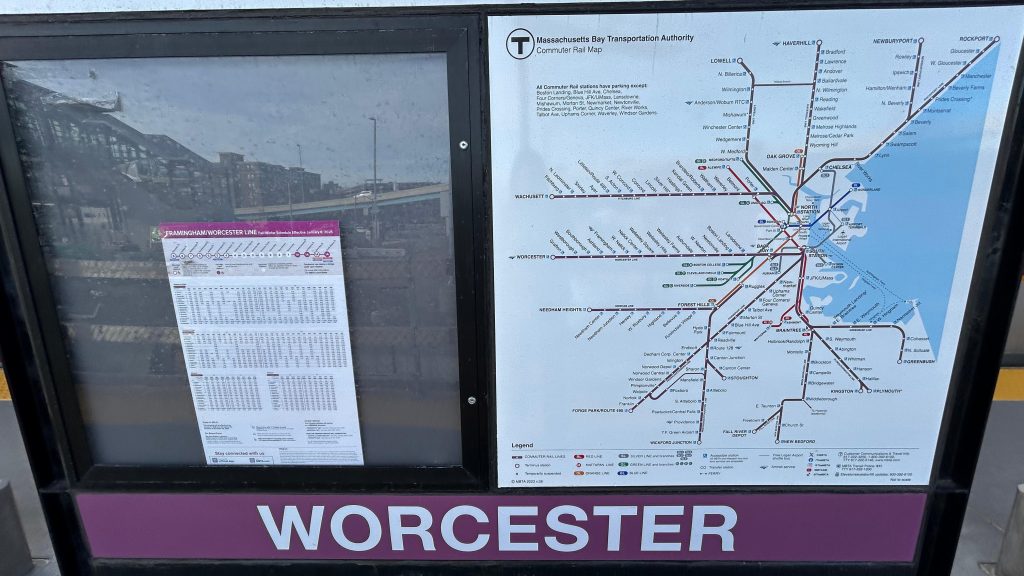
Commuter Rail (Worcester)
WRTA (1, 2, 3, 4, 5, 6, 7, 11, 12, 14, 15, 16, 19, 23, 24, 26, 27, 29, 30, 31, 33, 42, 825)
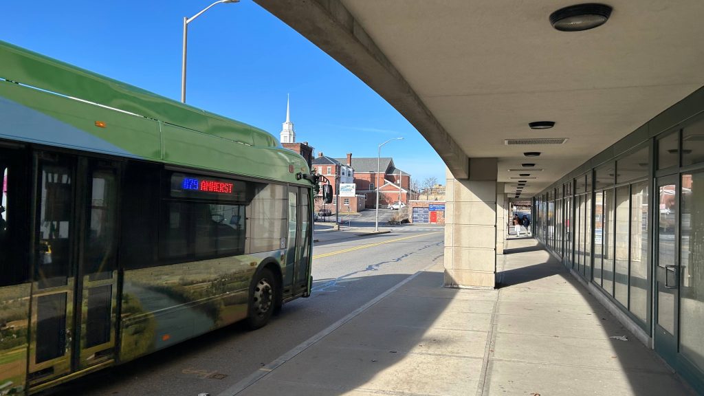
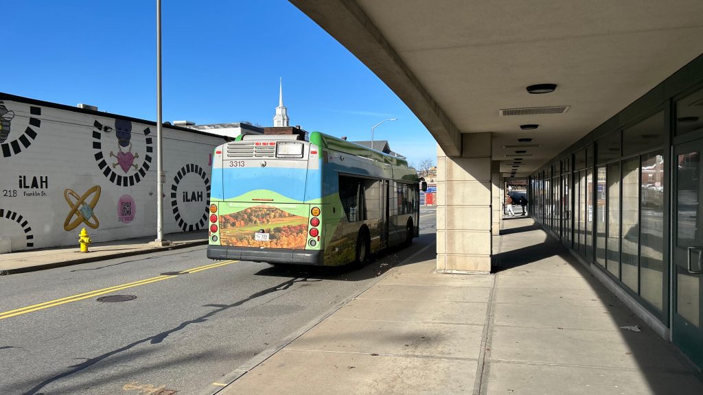
PVTA (B79)
MART (Clinton/Worcester Commuter)
Overall, I genuinely think this is deserving of the coveted 10/10 rating. I mean, I got nothing against it whatsoever, I can’t even think of anything bad to say about it, and it’s probably the single best station on the MBTA network.
And, with that, that concludes “Chelsea Visits Every MBTA Rail Station”, I guess. I mean, I have the CapeFLYER, a few Amtrak stops, and a CTrail station in the Commonwealth. I still have the entirity of Metro-North and the LIRR, NJT, the MTA subway, PATH, SEPTA, Maryland MTA & MARC, and even WMATA and VRE. As for the future of this blog, I’ll probably mainly slowly hack away at buses, the likes of other Amtrak and commuter train stations, and possibly even do a cross-country adventure or two. I mean, as of writing this, the opening of South Coast Rail is imminent so that still remains otherwise, for the MBTA. And, I’d also like to give a shoutout to everyone that’s come along, including people that went through the trouble of going through these stations with me. Thank you all for joining along for the ride, and stay tuned because….
NEW BEDFORD IS NEXT.
Rating: 10/10