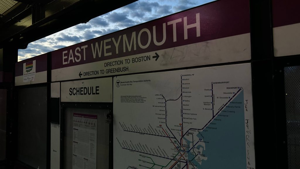
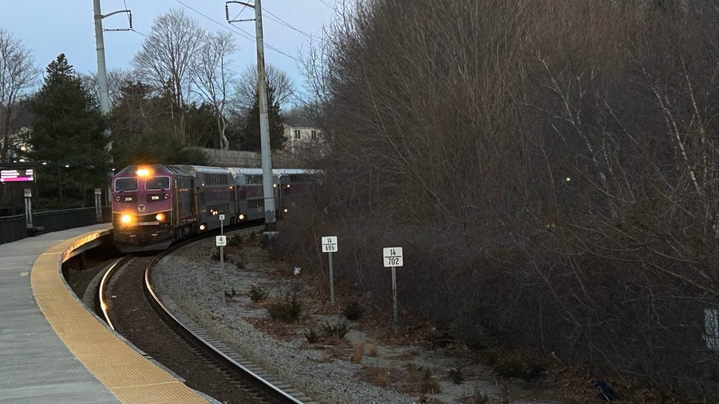
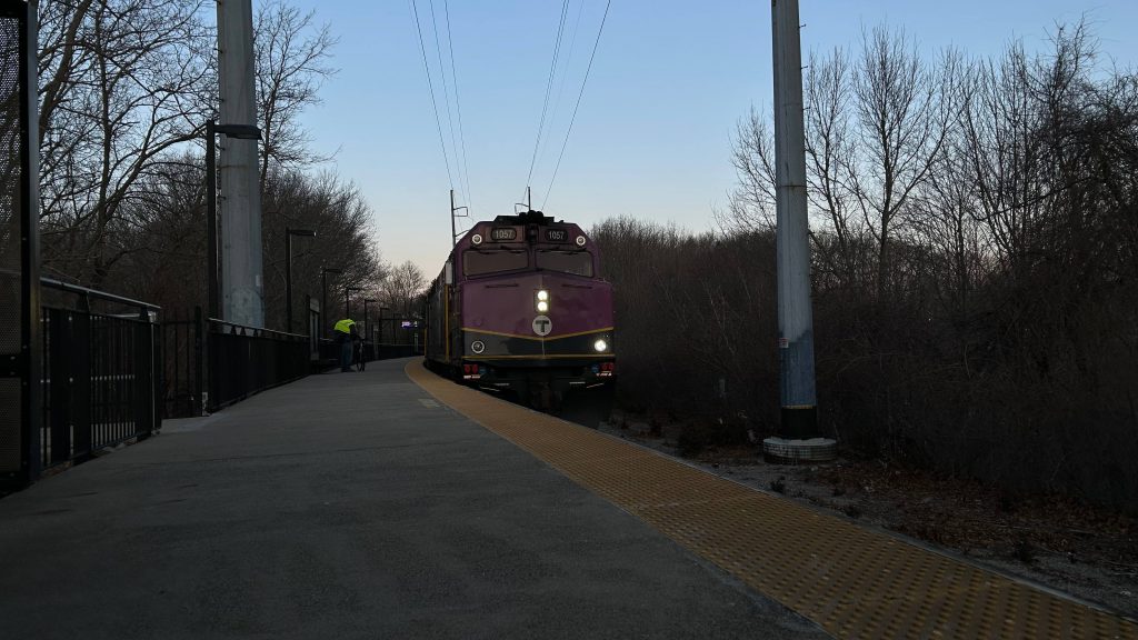
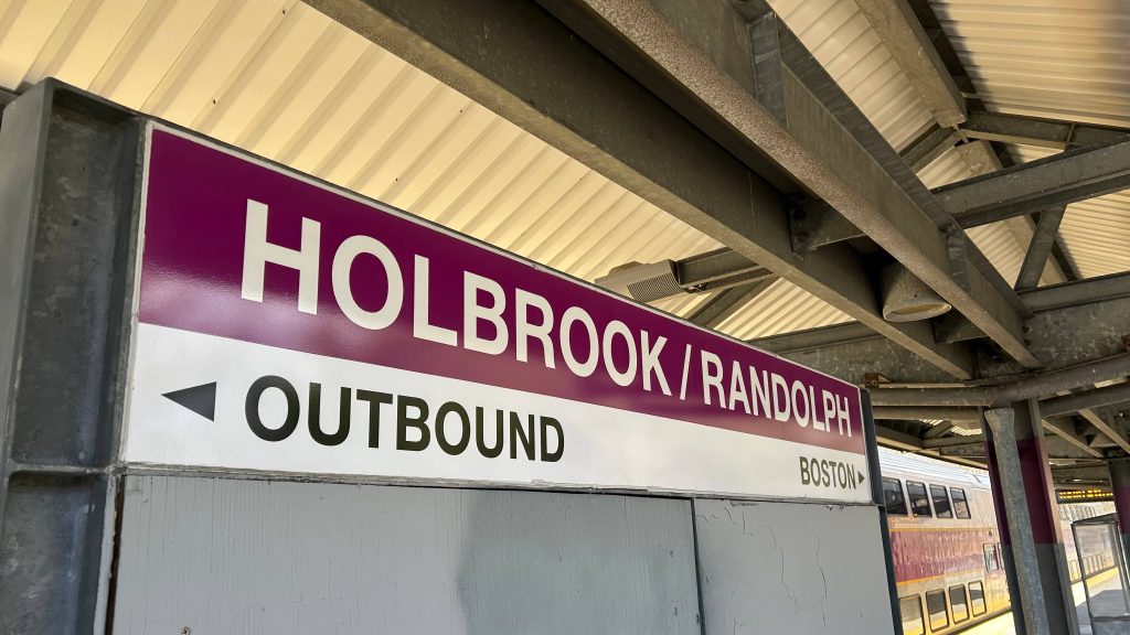
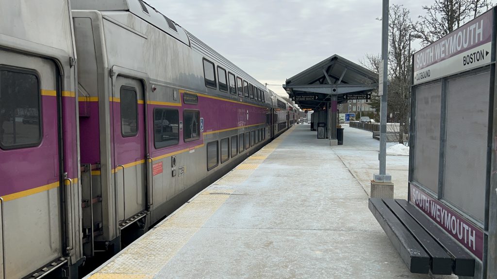
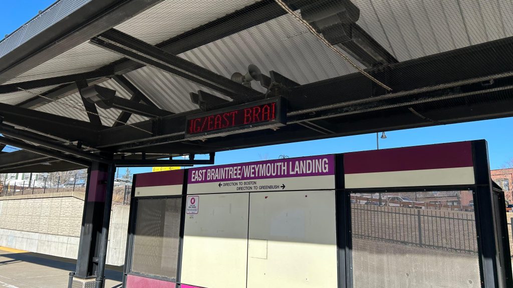
Weymouth Landing! Or, also, East Braintree? Well, whatever. This is the first station on the Greenbush Line after the split in Quincy. And, surprisingly, it’s pretty damn good! Let’s look at it.
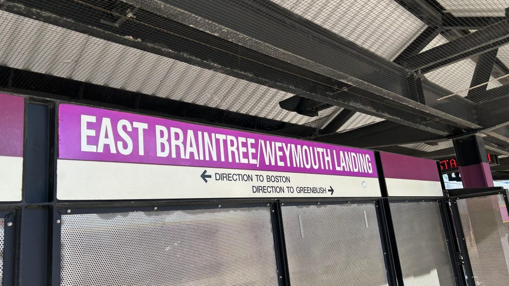
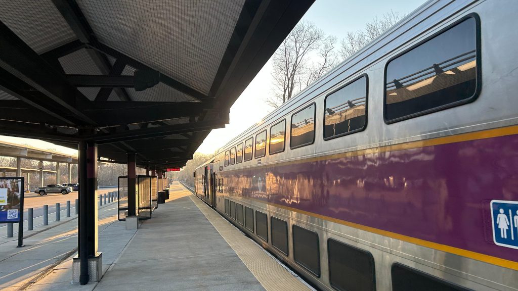
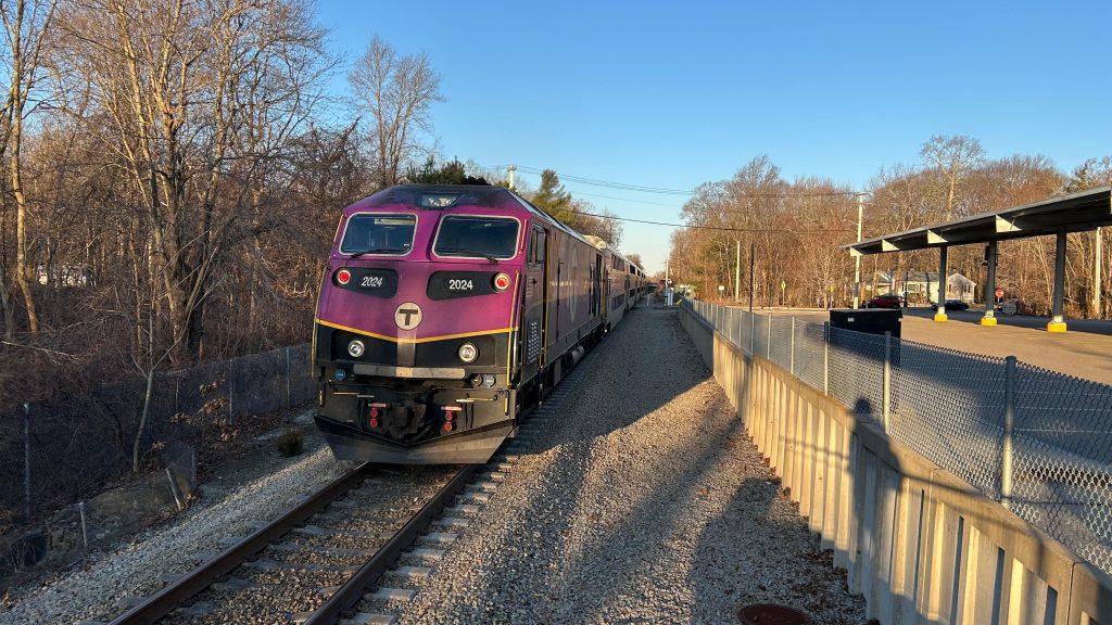
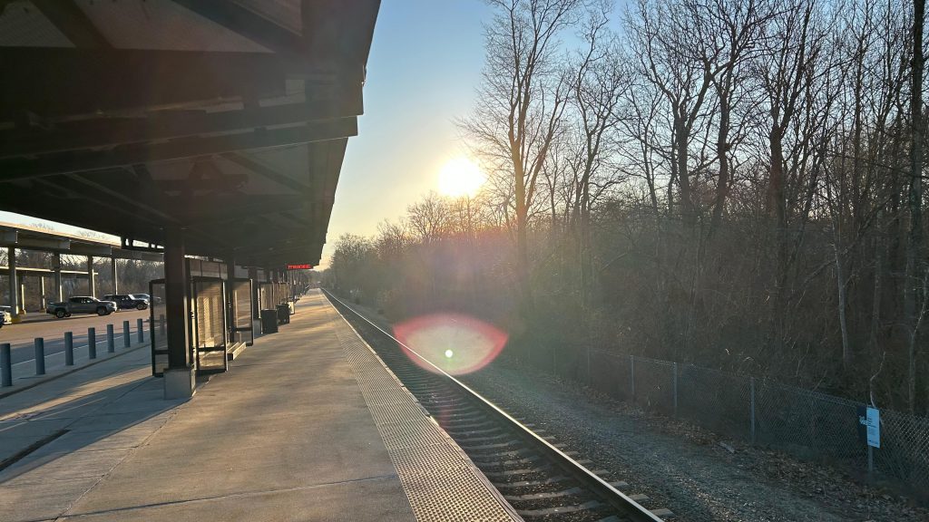
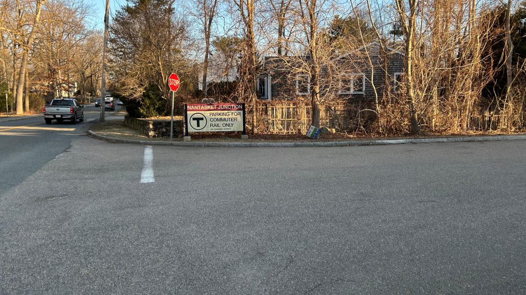
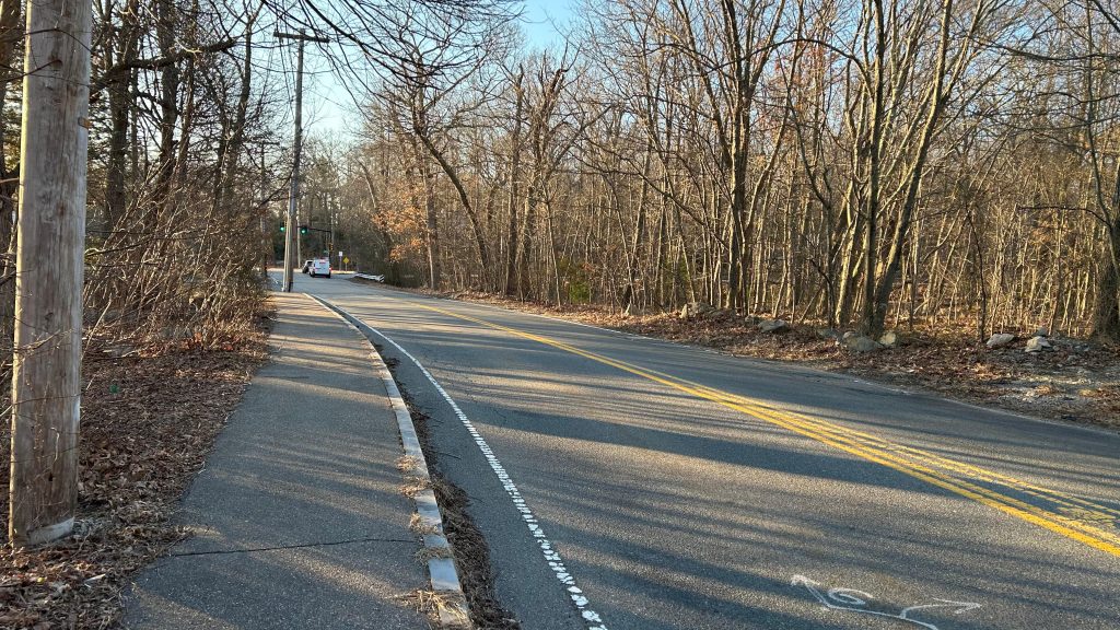
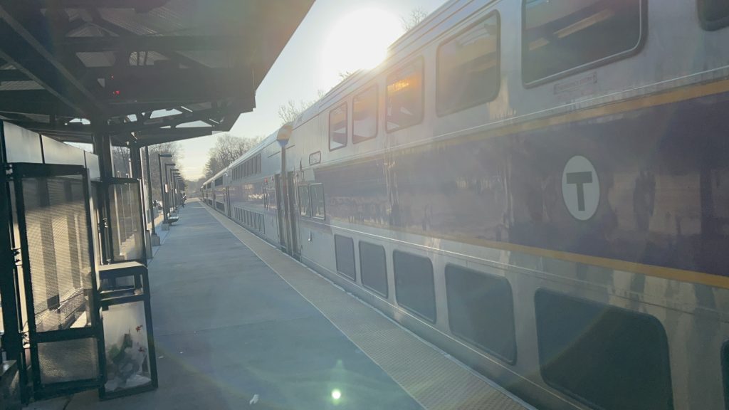
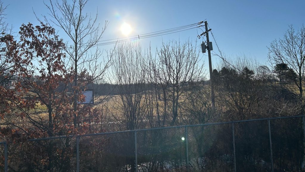
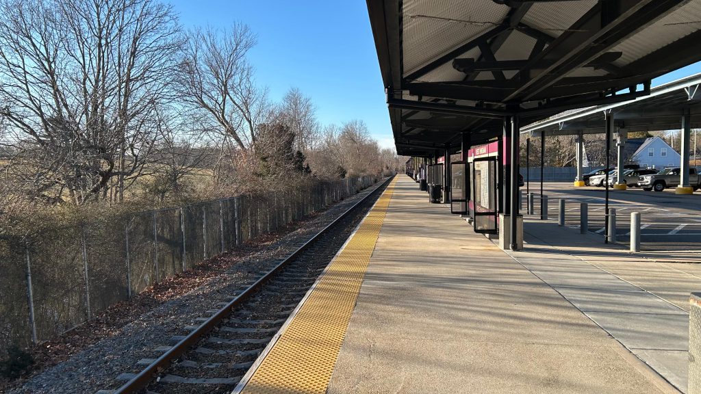
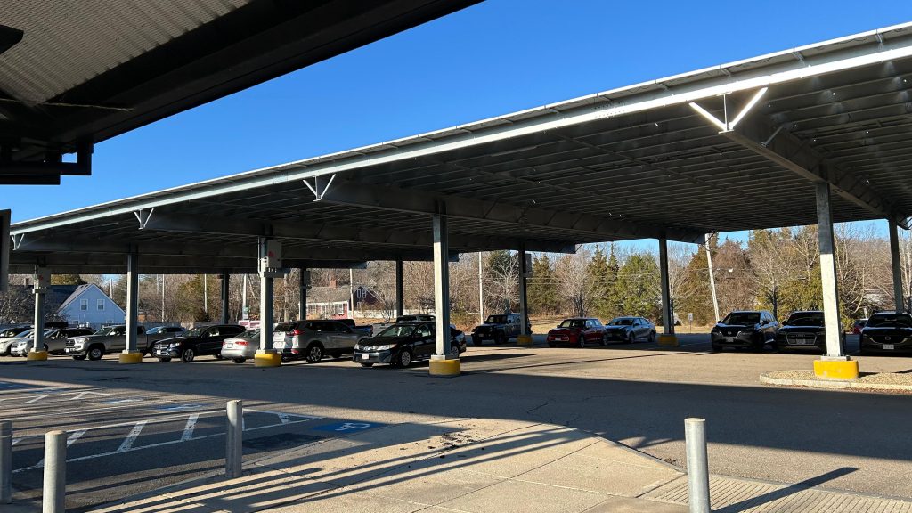
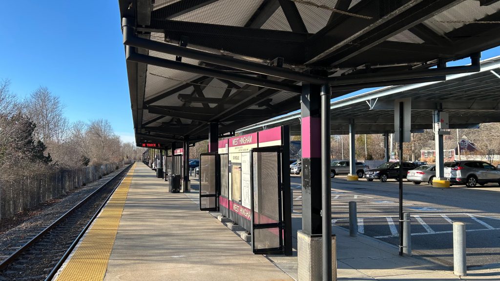
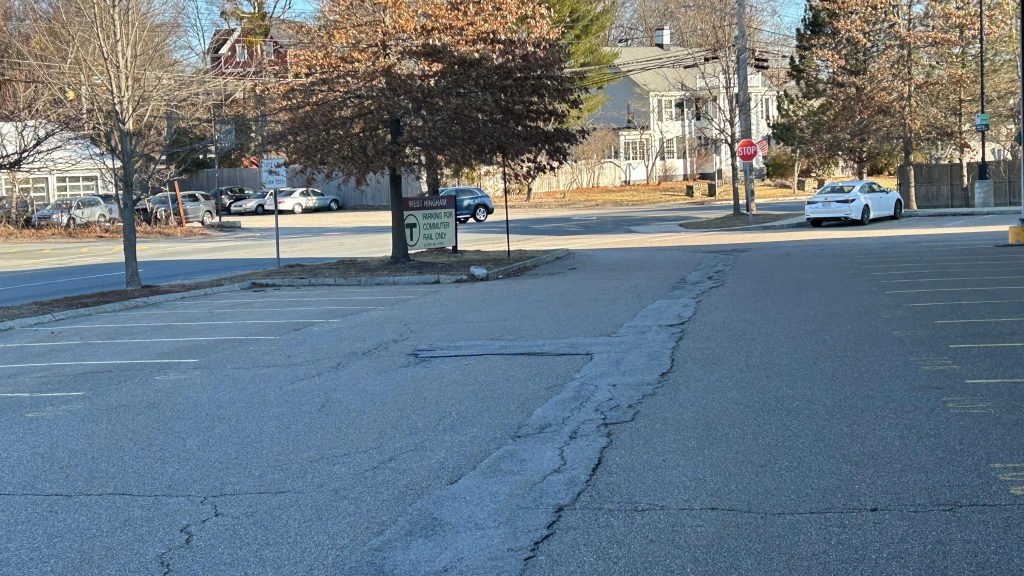
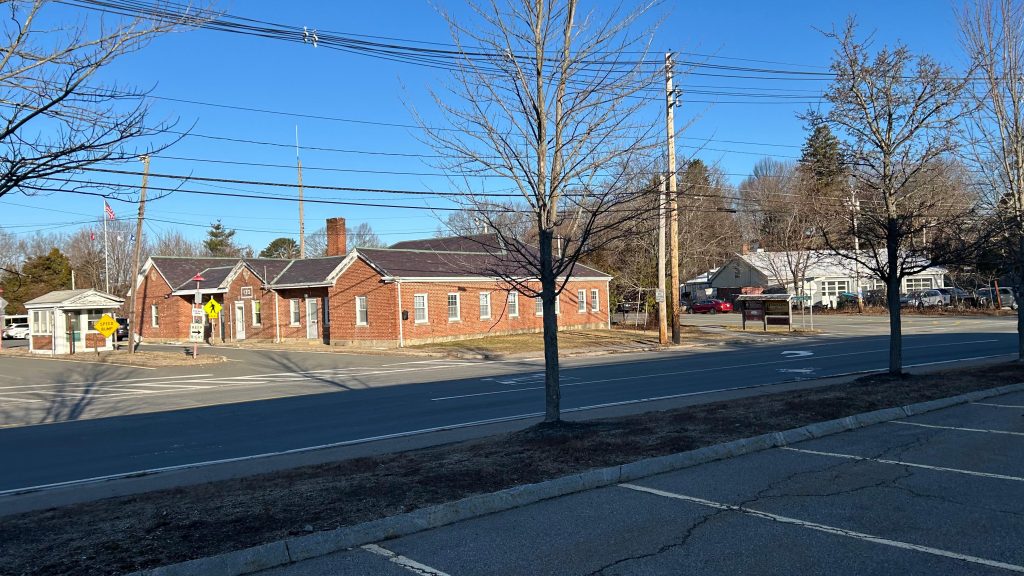
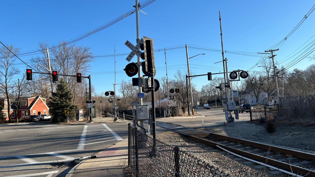
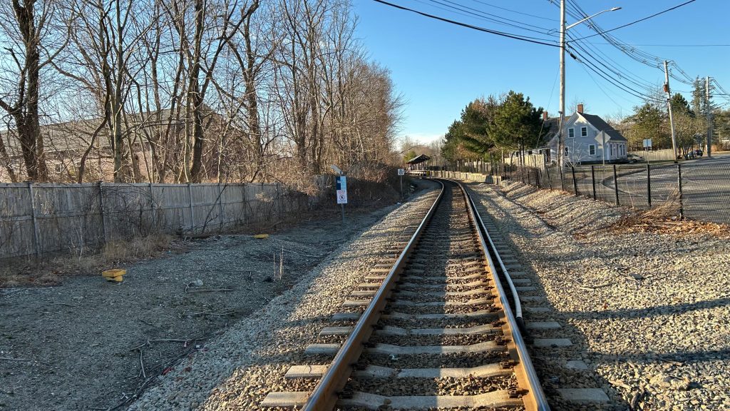
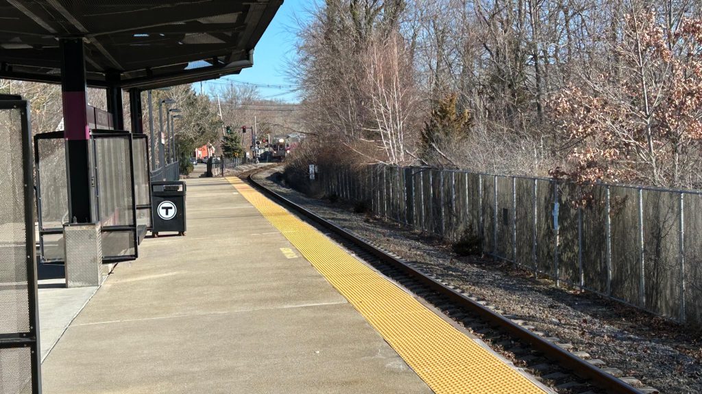
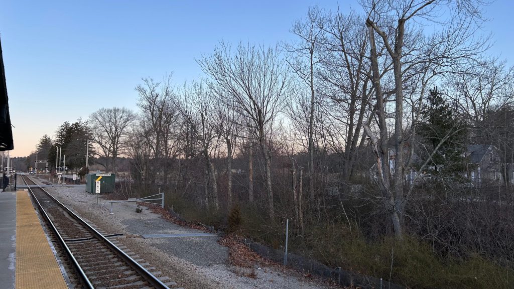
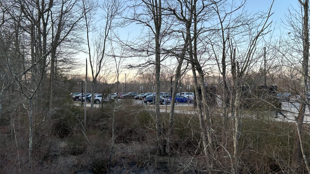
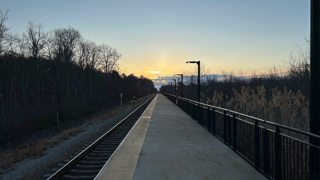
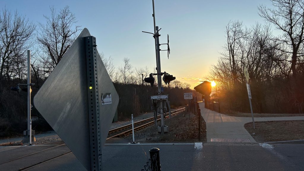
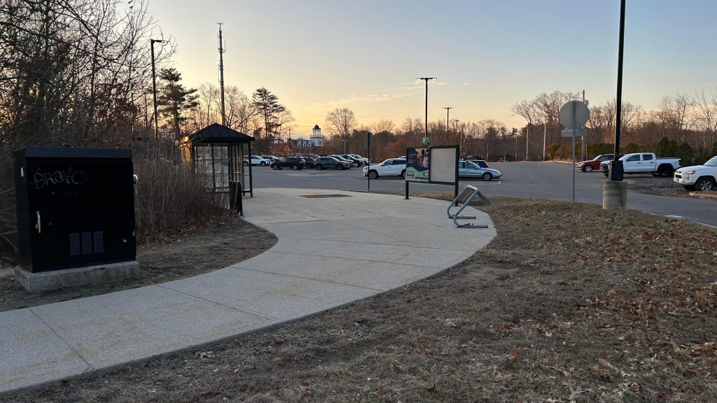
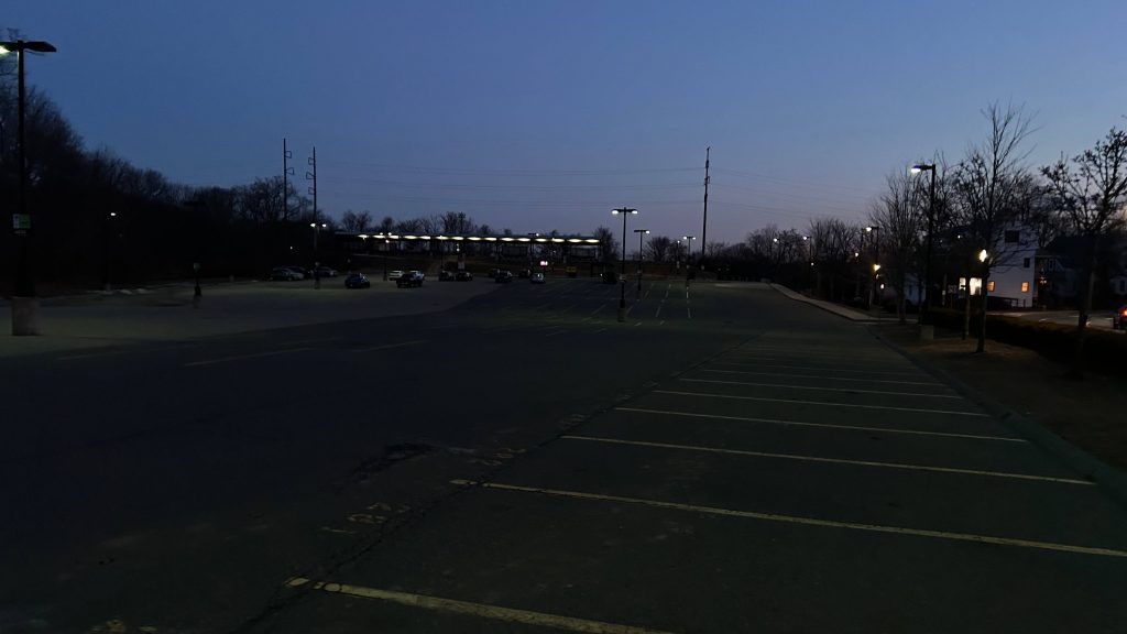
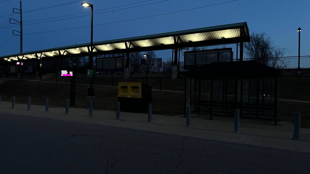
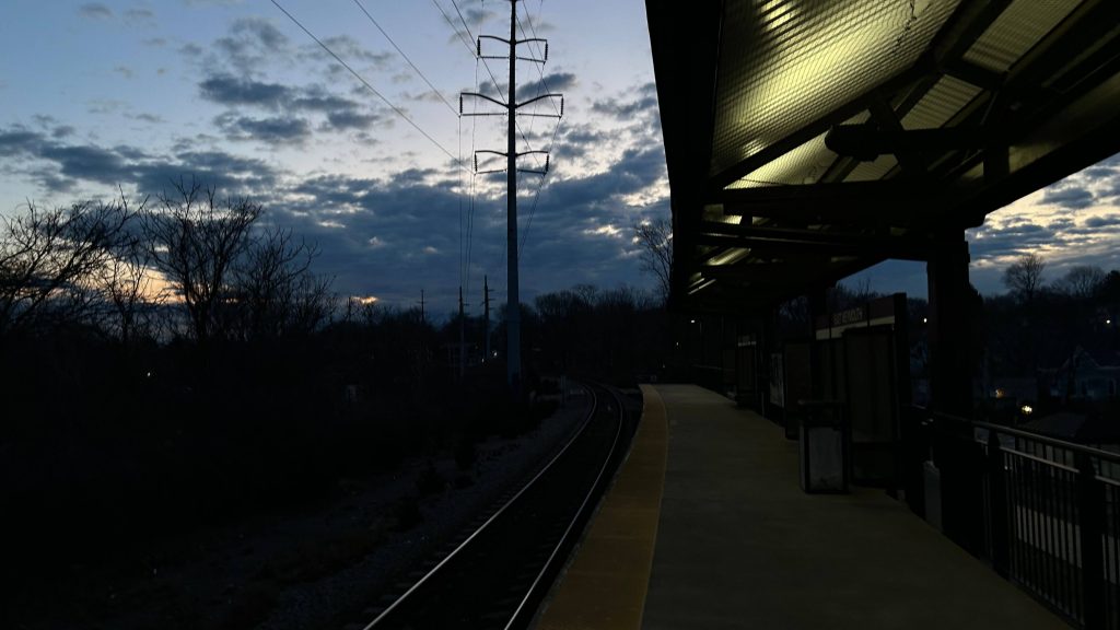
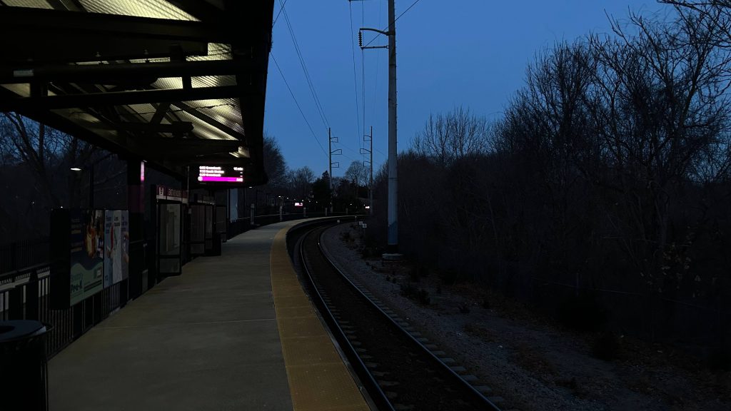
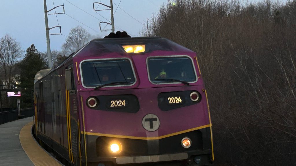
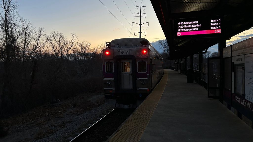
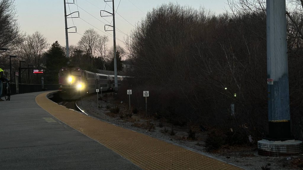
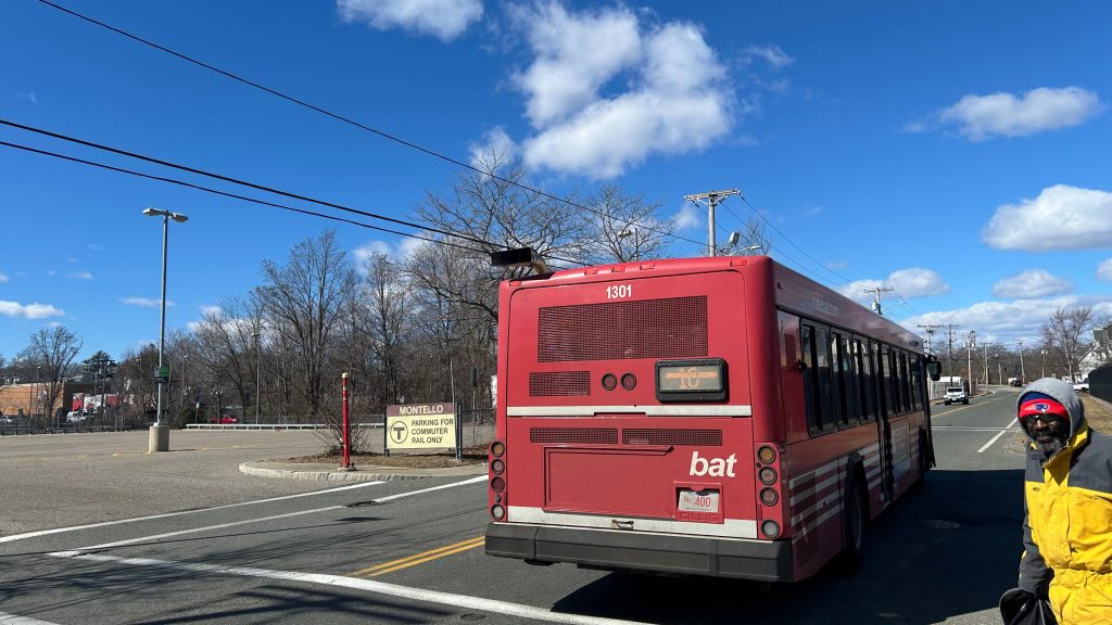
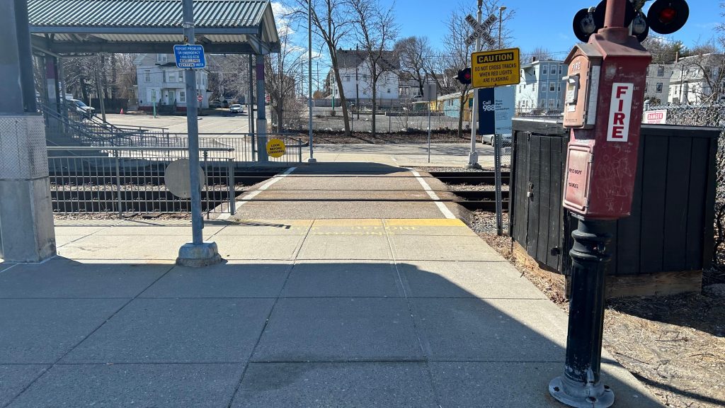
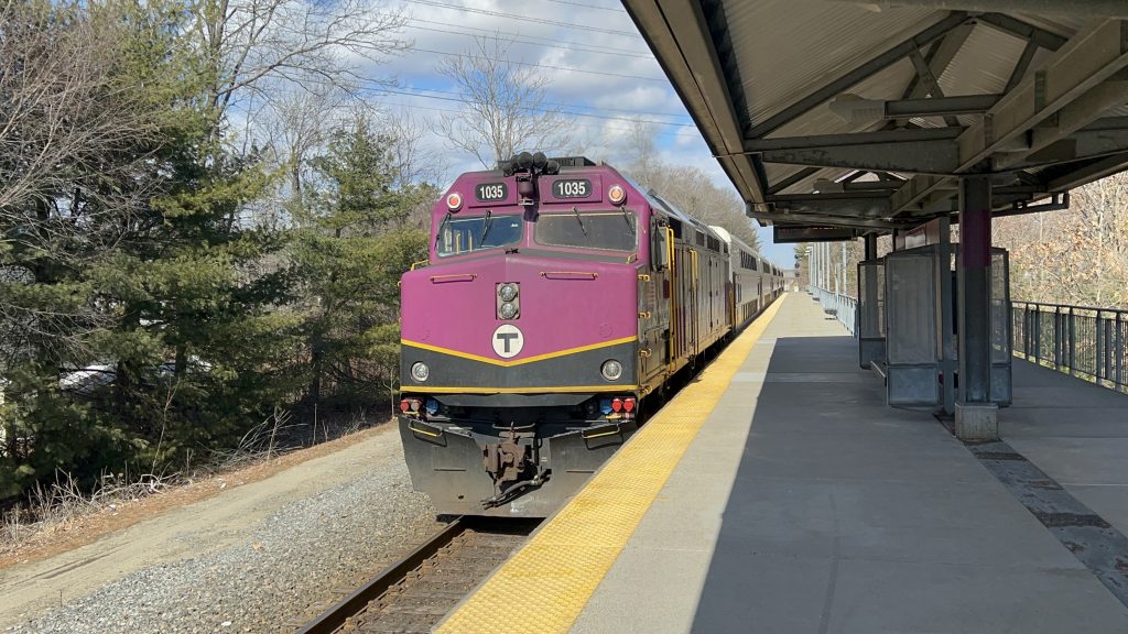
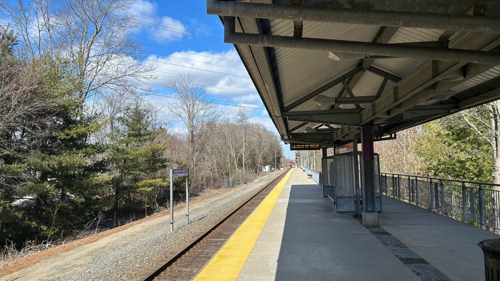
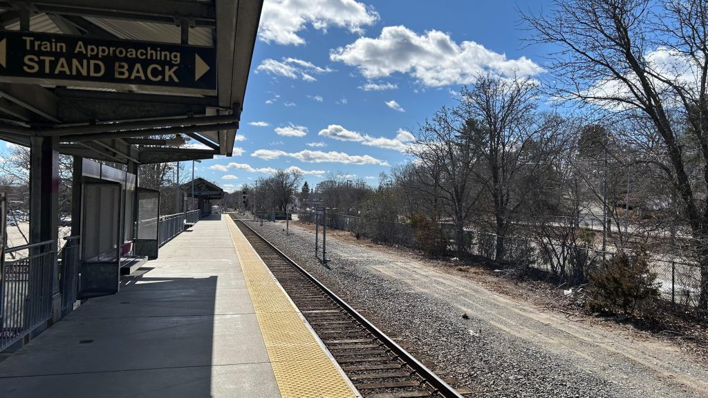
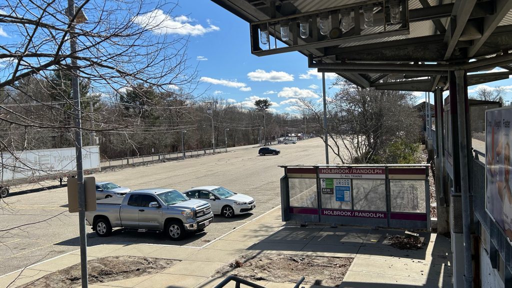
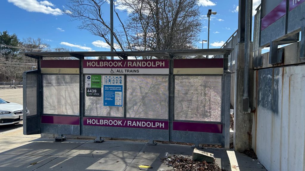
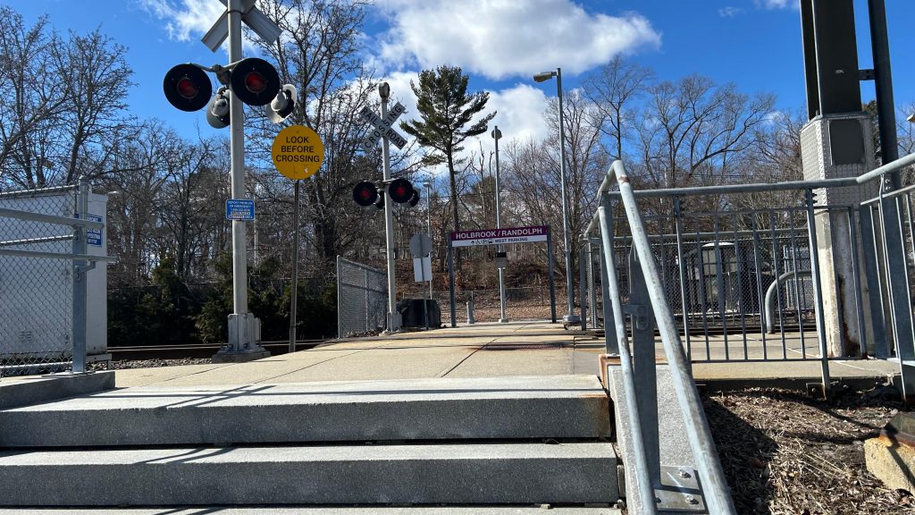
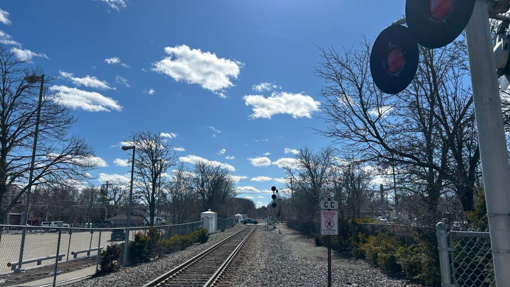
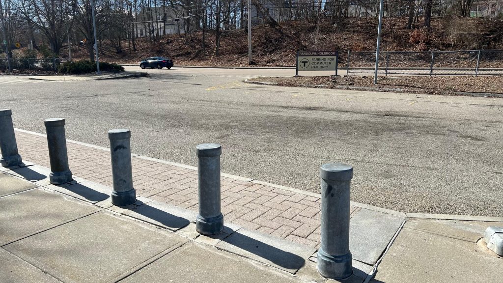
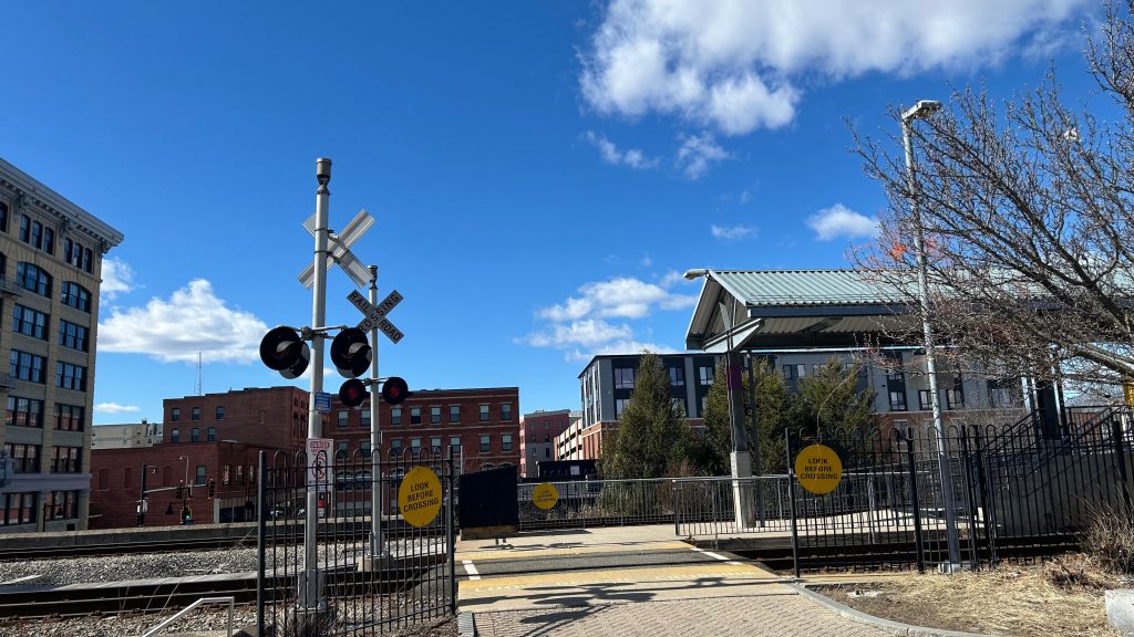
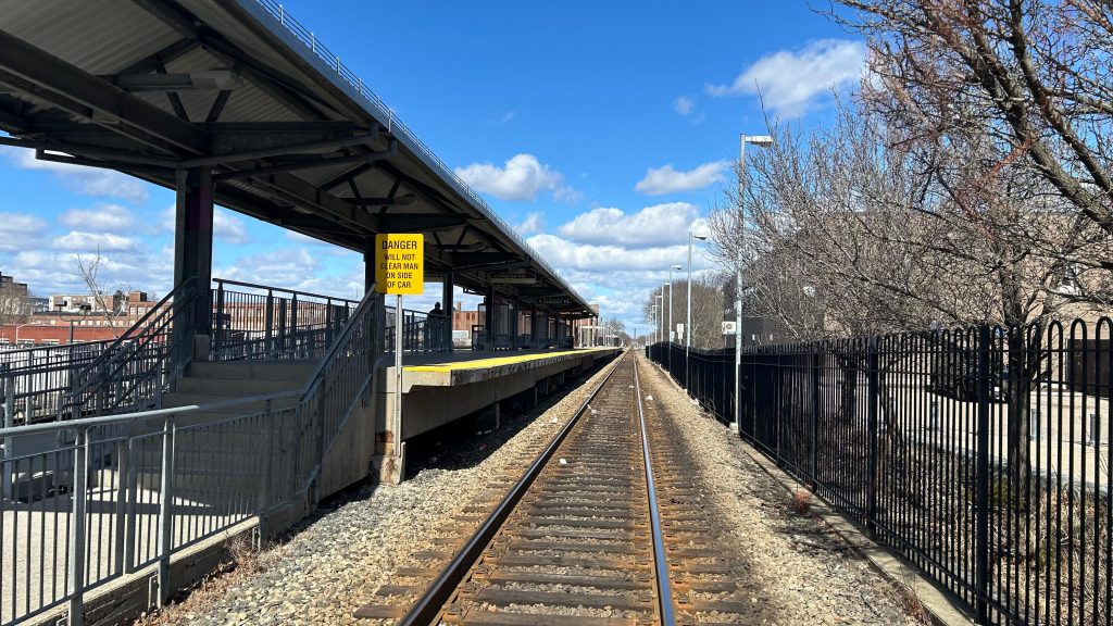
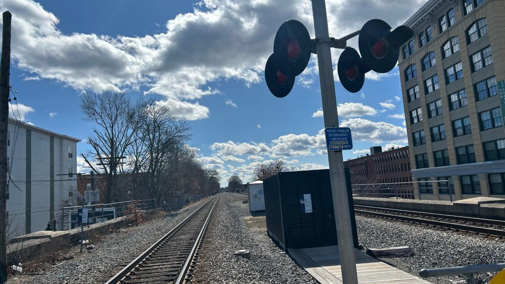
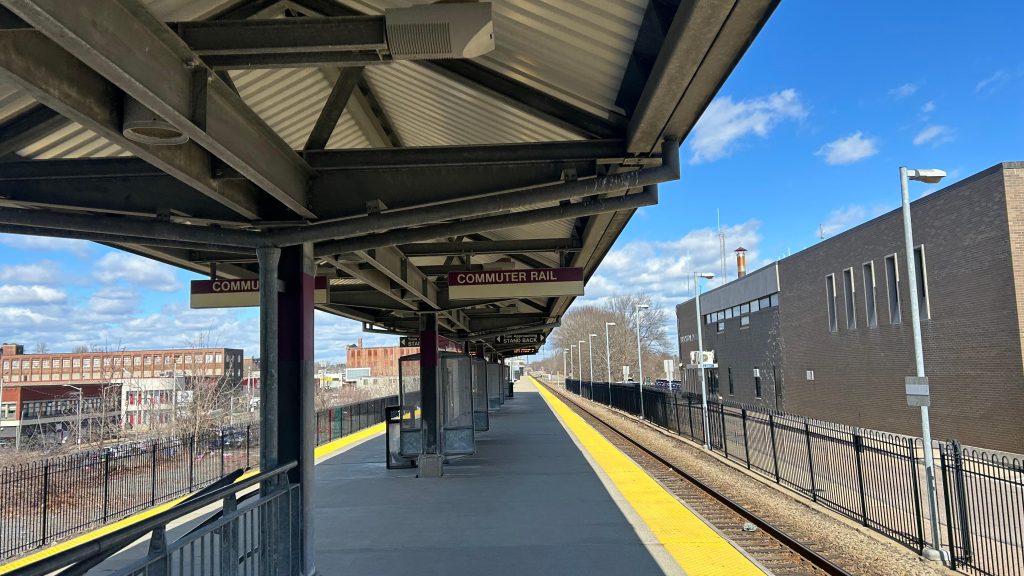
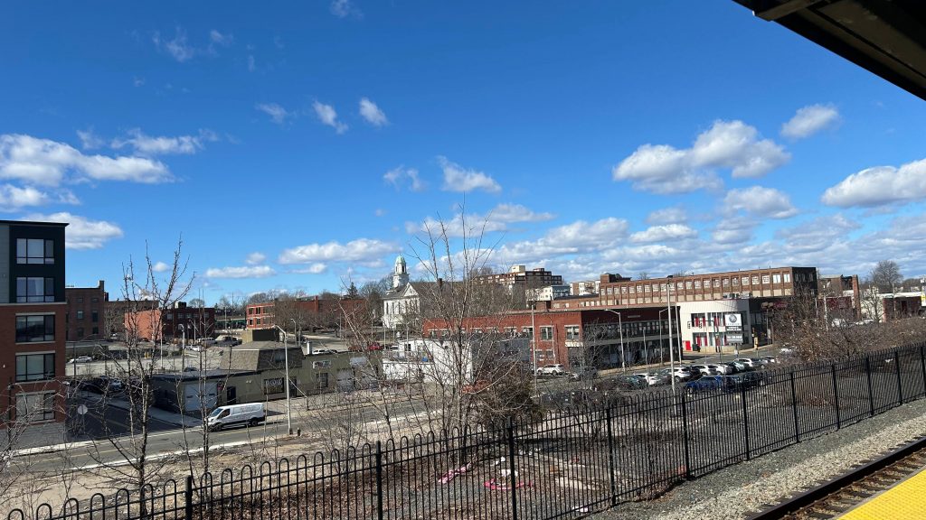
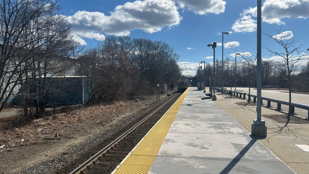
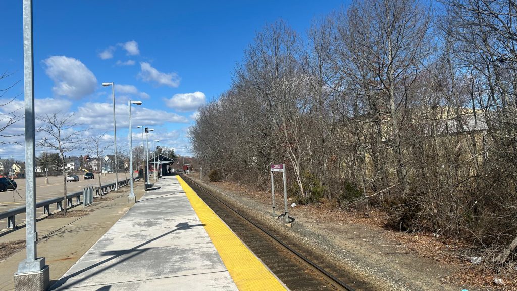
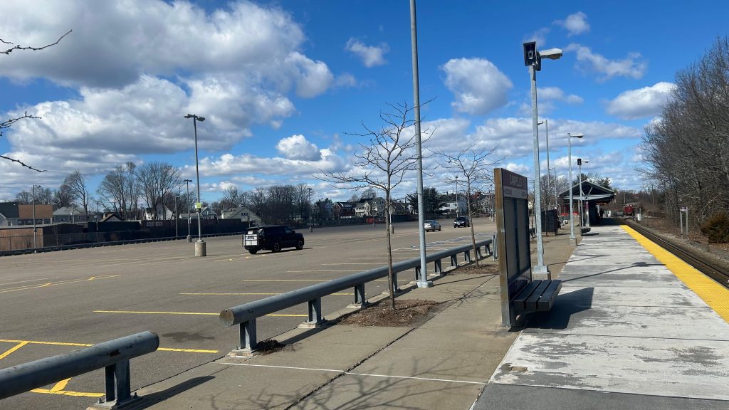
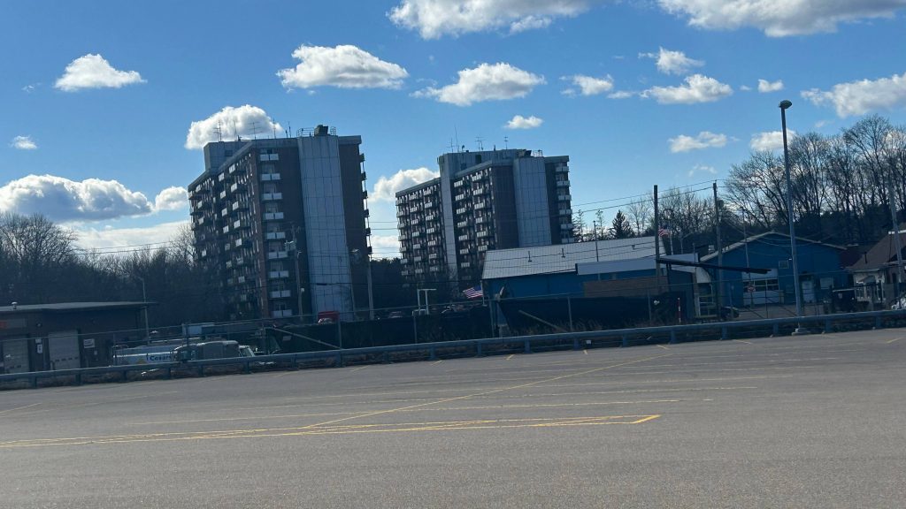
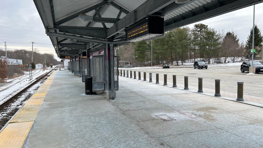
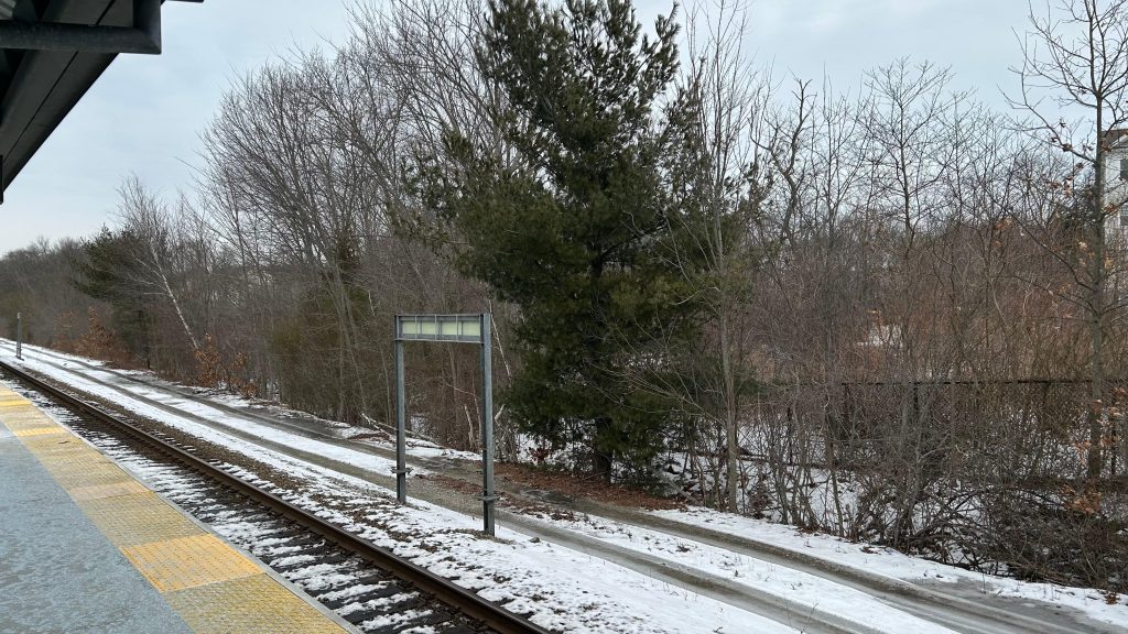
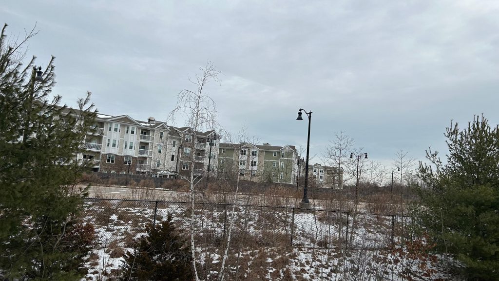
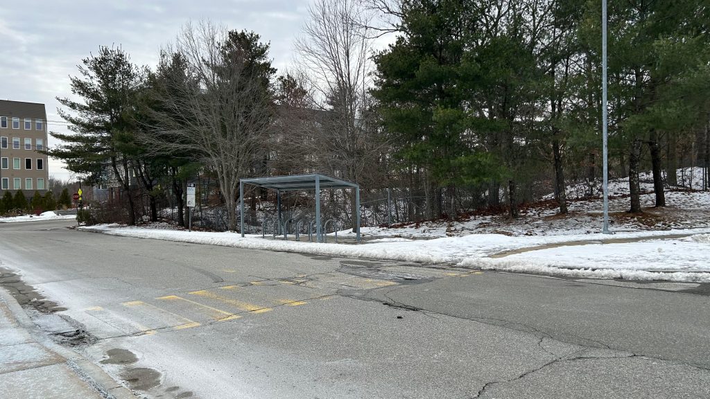
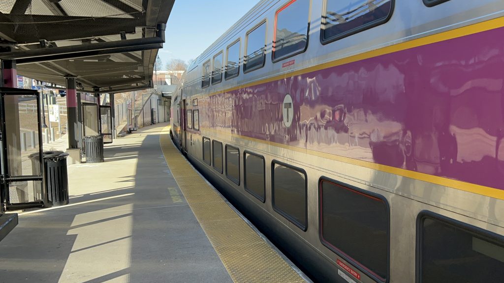
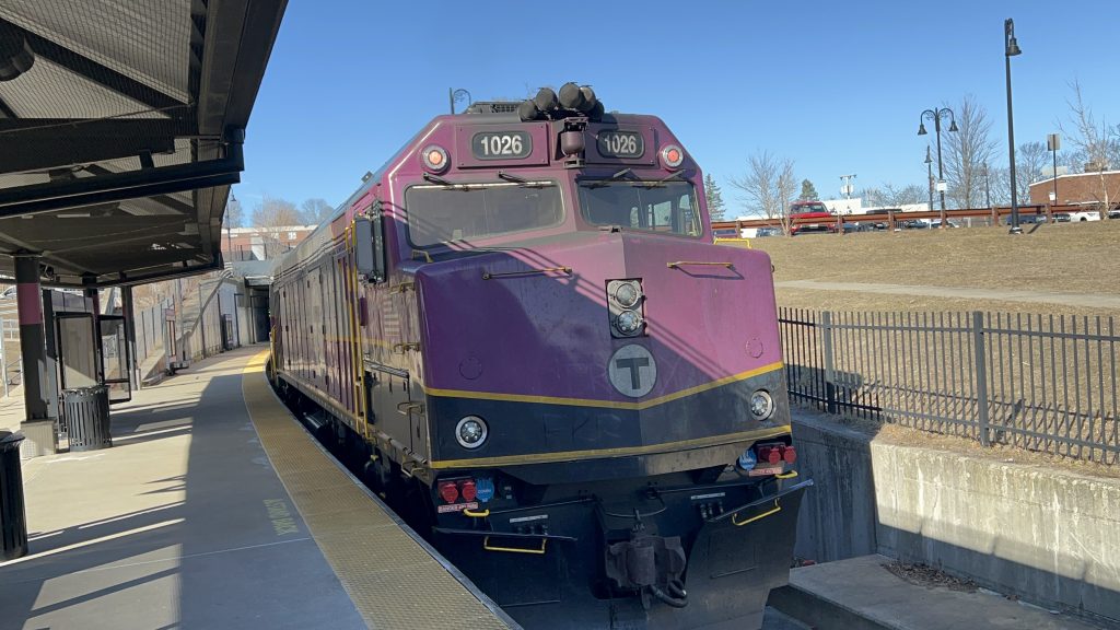
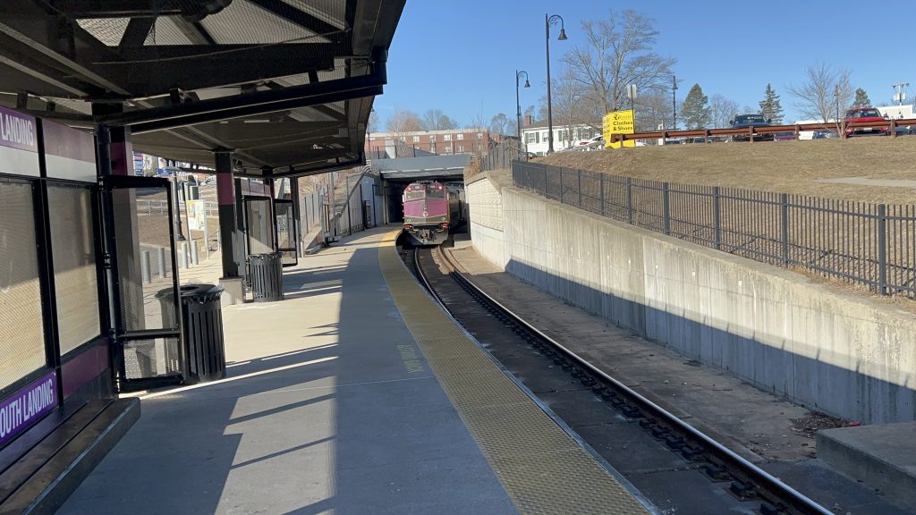
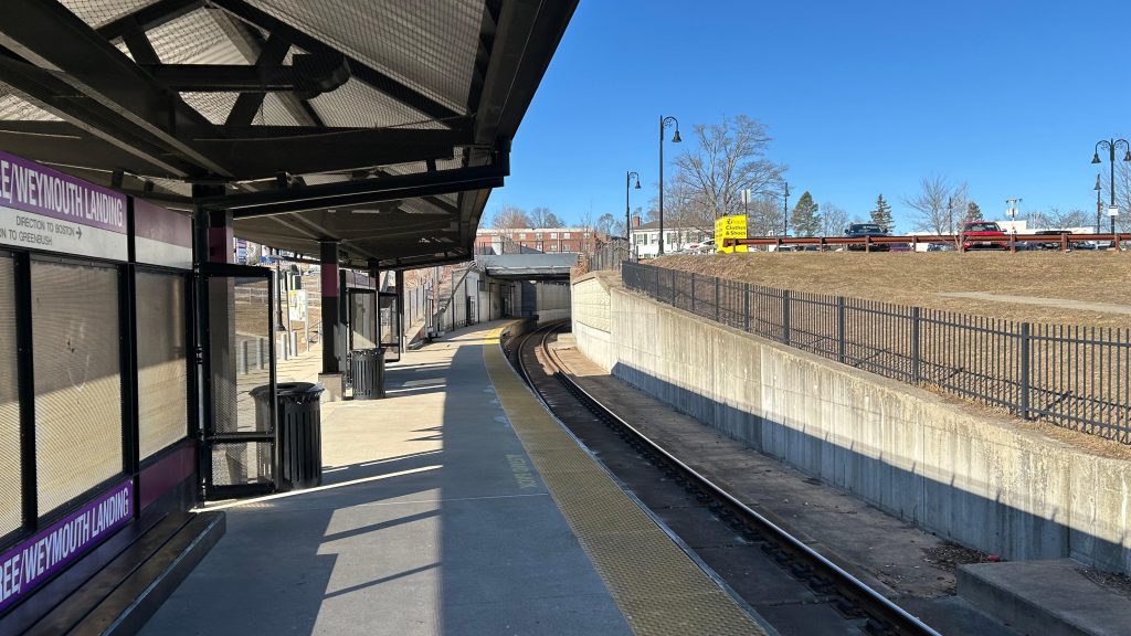
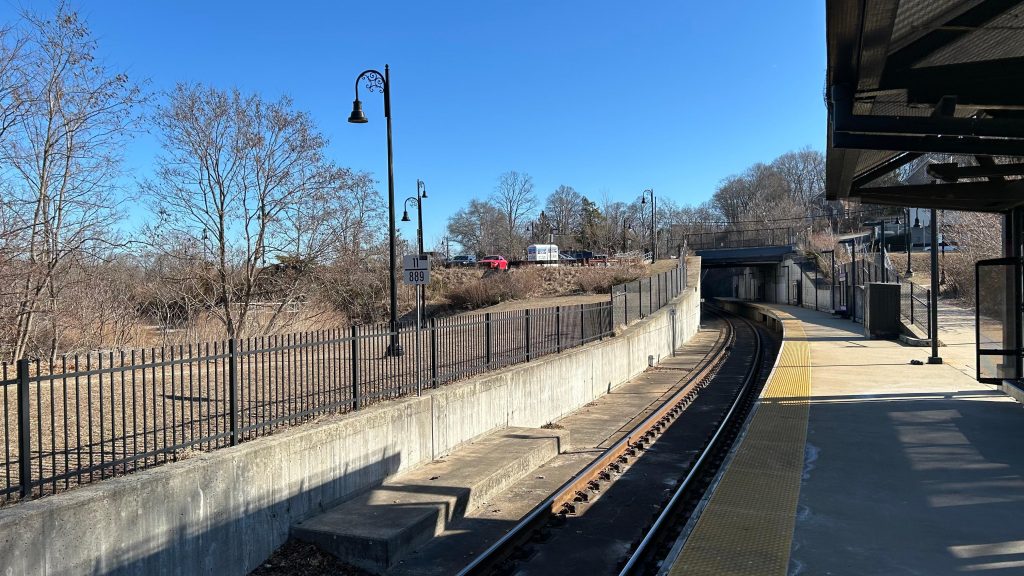
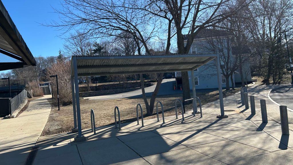
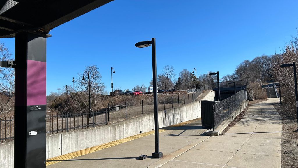
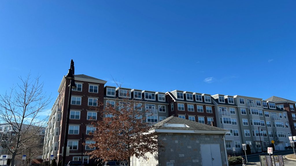
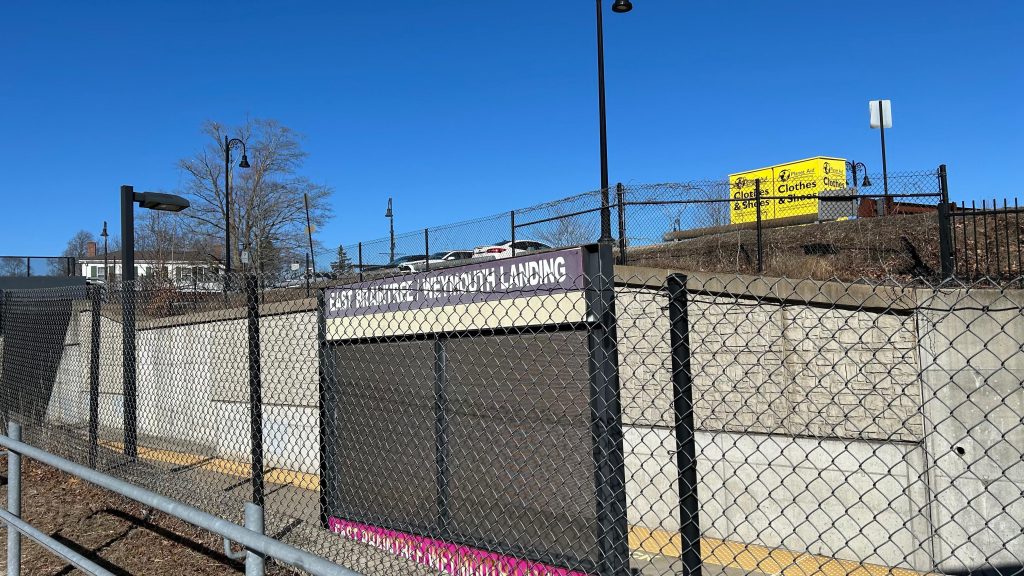
Weymouth Landing is partly in a trench, curving, and is fully high-level. There’s a high-level platform, parking (though seemingly not an egregious amount!), wastebaskets, red signage, and even a BUS connection?! Oh, right, the 225 runs from here to Quincy. The 226 to Braintree and Columbian Square also apparently stops nearby, too. Neat! The land use is relatively very good as well, with housing and shops close by. Parking is also found across the tracks, however it’s not egregiously big unlike some stations. There’s also some apartment complexes nearby. Given this is a good station in all regards, on a line with famously bad land use and copy-pasted stations, this is actually a breath of fresh air! YAY! Good job, Weymouth/Braintree, for decent land use!
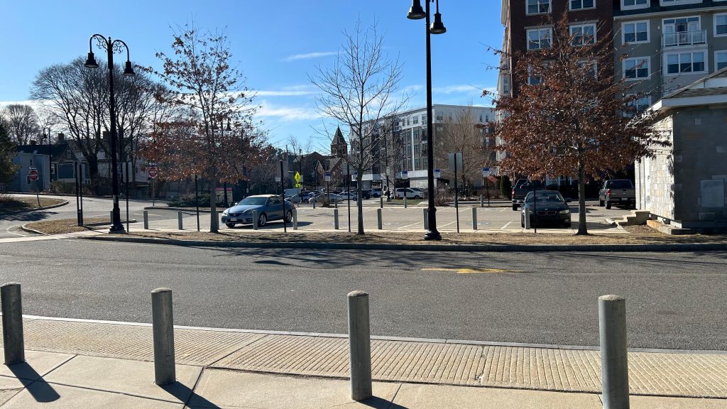
The good: The land use is actually pretty decent, all things considered. It’s the best station on the line in this regard. And, honestly, shoutout to the people running Braintree and Weymouth for actually making the land use pretty good around here! (if only Braintree’s government made the land use around the Red Line station better…). Also, bus connections exist, it’s accessible, and just in a decent location.
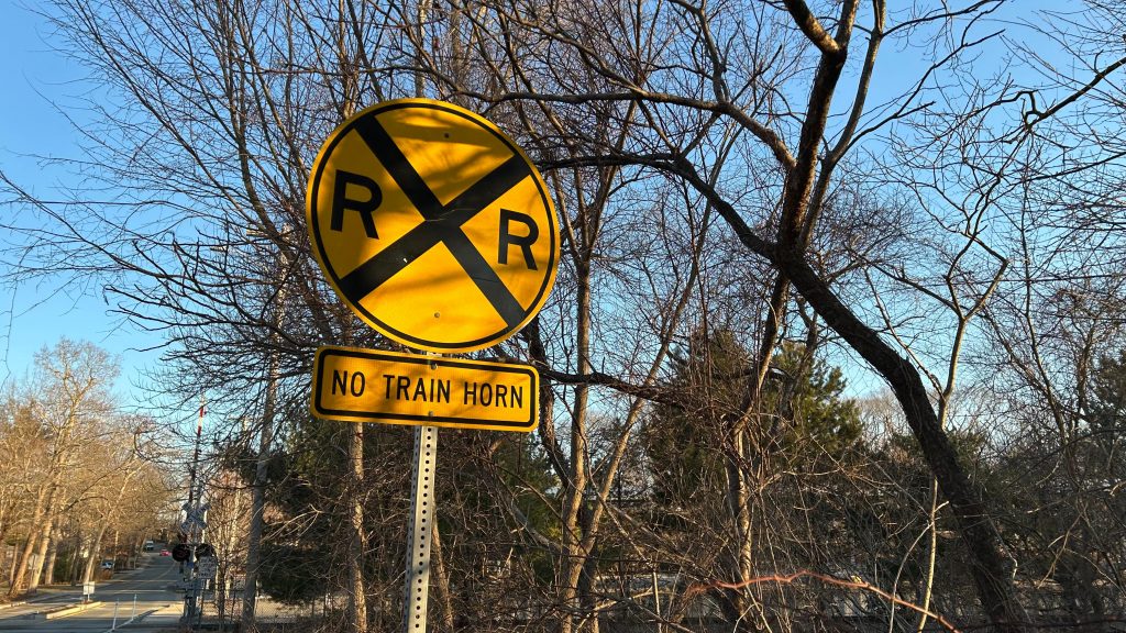
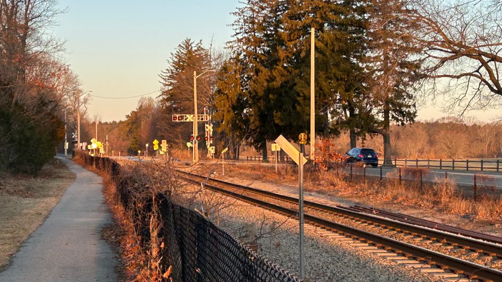
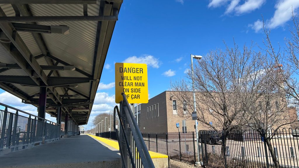
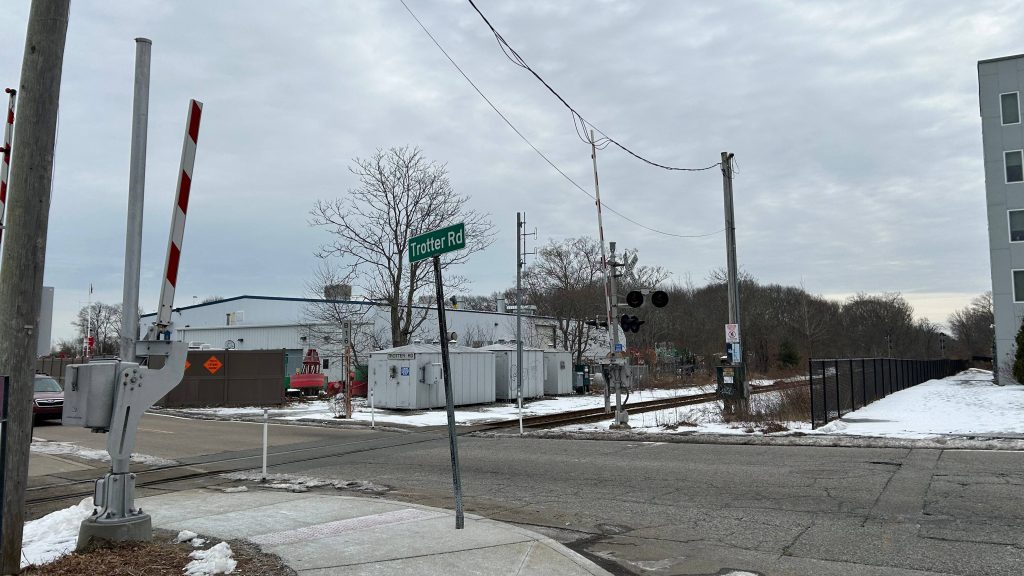
The bad: Not a lot, actually! I guess the biggest offense comes down to the trenched nature of the station impeding on any future double-tracking efforts that may/may not be undertaken. Signage pointing to the 225 could/should be better, too.
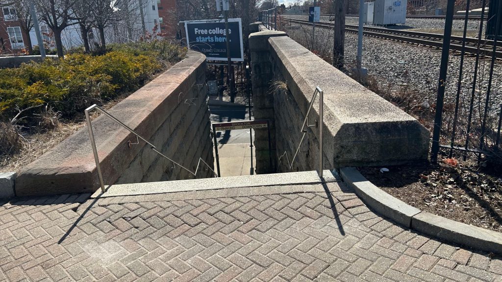
Nearby points of interest: Weymouth Landing seems like a genuinely cool area, and the area on Washington/Commercial St.’s have a more downtown-ish vibe to them.
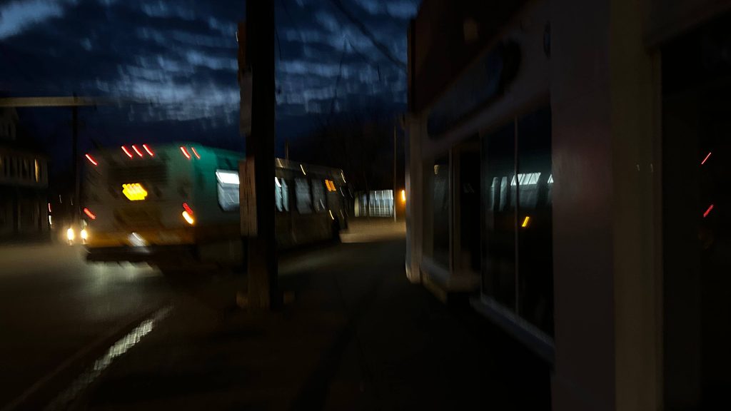
Transit connections:
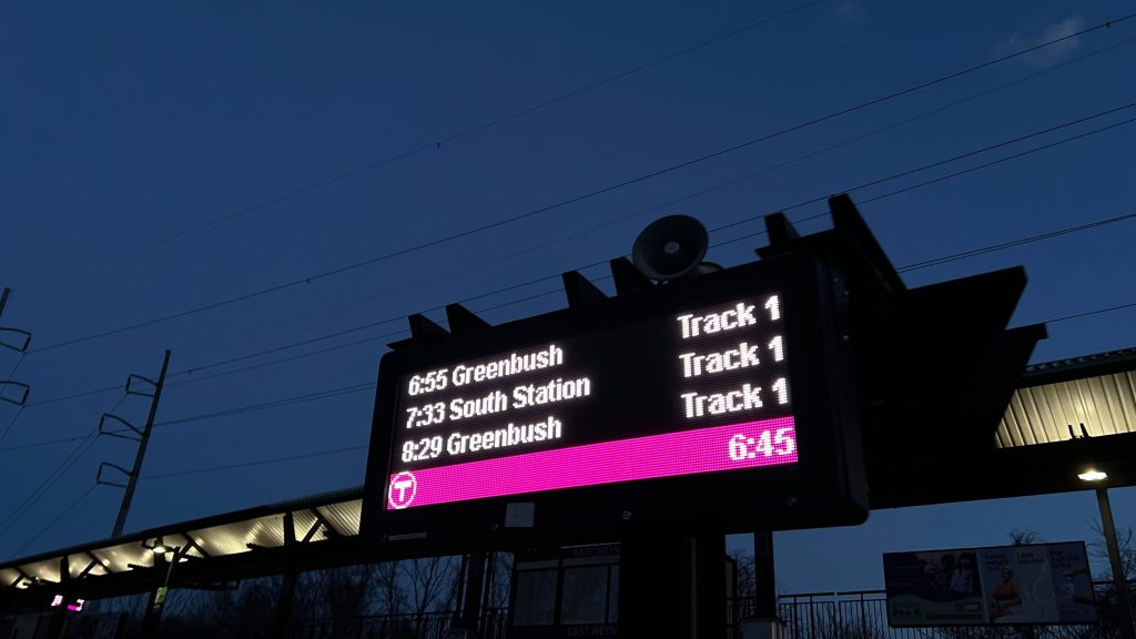
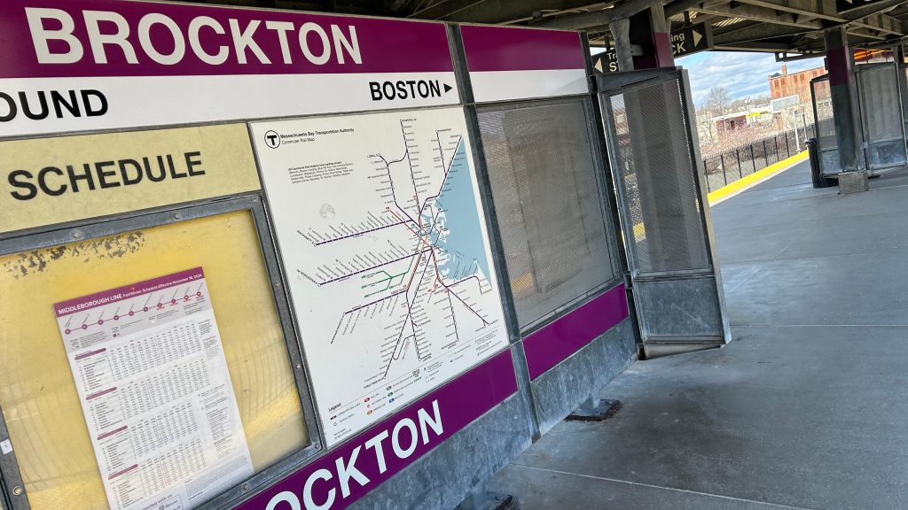
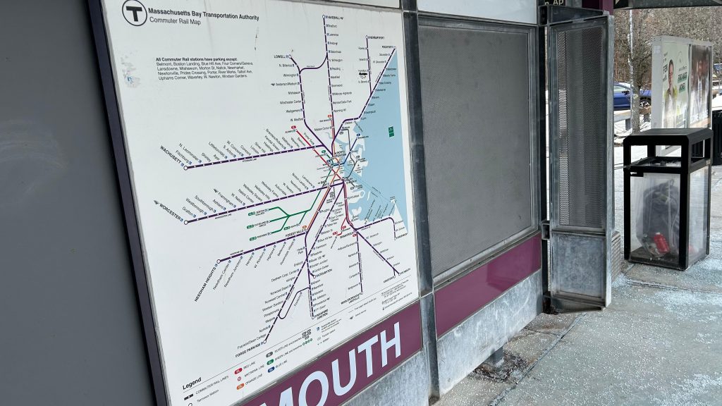
Commuter Rail (Greenbush)
MBTA bus (225, 226)
Overall, it’s really not a bad station, and easily the best on the Greenbush Line. Good to finish that line on a high note! 😀
Rating: 8/10