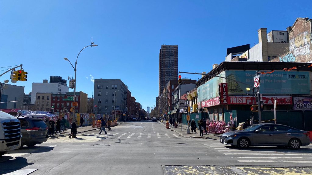
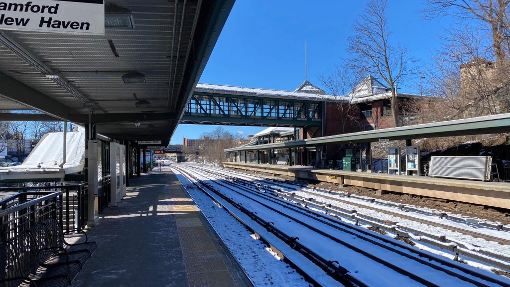
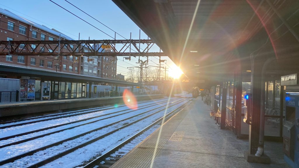
Alrighty, Harlem-125th Street! So, while technically this entry is two stations (Harlem-125th on Metro-North, the penultimate stop before Grand Central, and 125th St.-Lexington Ave.), I’m counting them as one and the same on the basis of proximity. They’re pretty much on the same block, and if phase 2 of the 2nd Ave. extension ever comes to fruition, proposals call for the Lexington Ave. stop to connect Lexington Ave.-125th and the Metro-North station physically anyways. So, with that out of the way, here’s the penultimate Metro-North station before Grand Central, and another MTA subway stop.
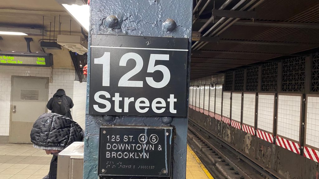
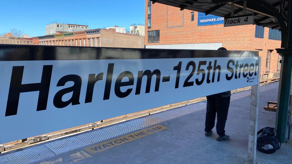
Subway station signageMetro-North signage
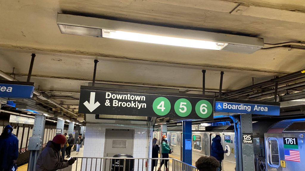
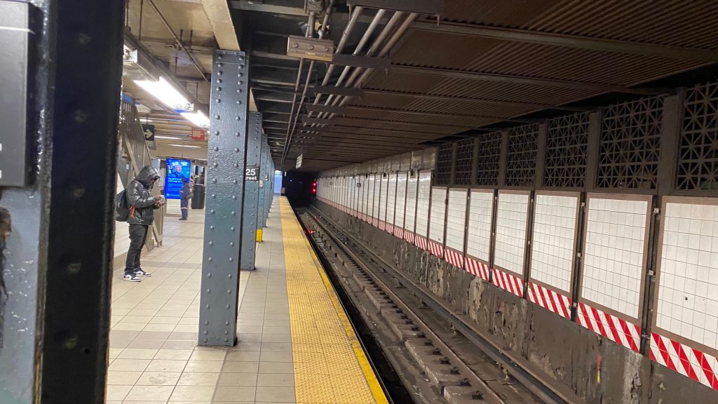
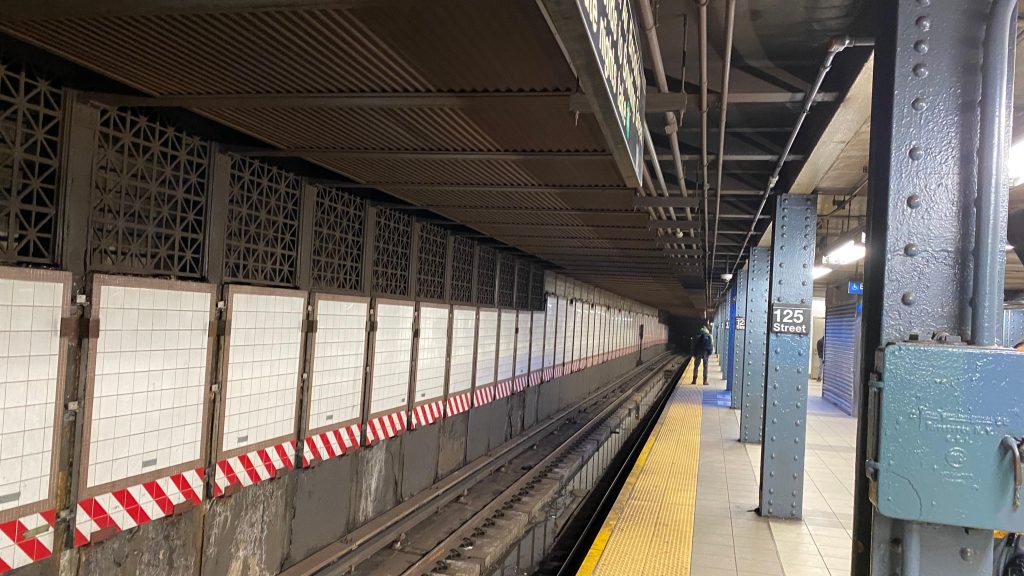
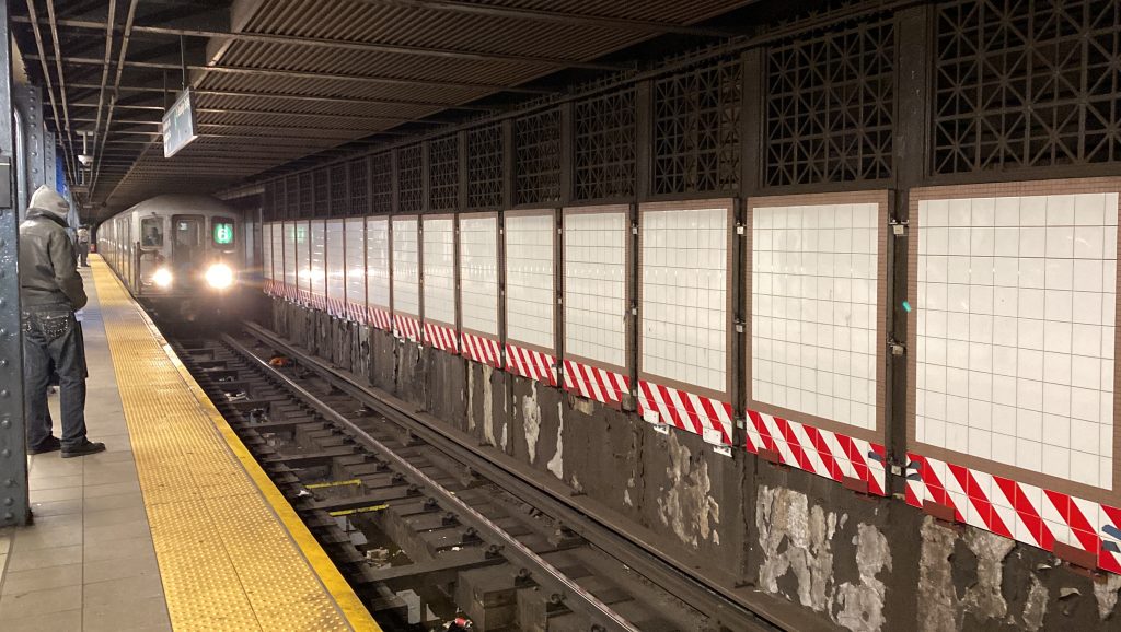
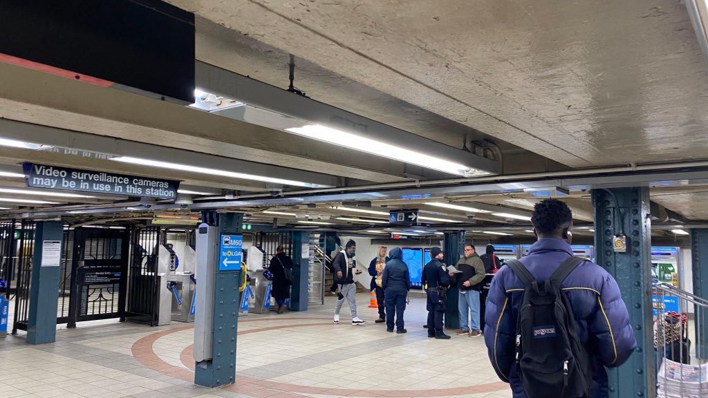
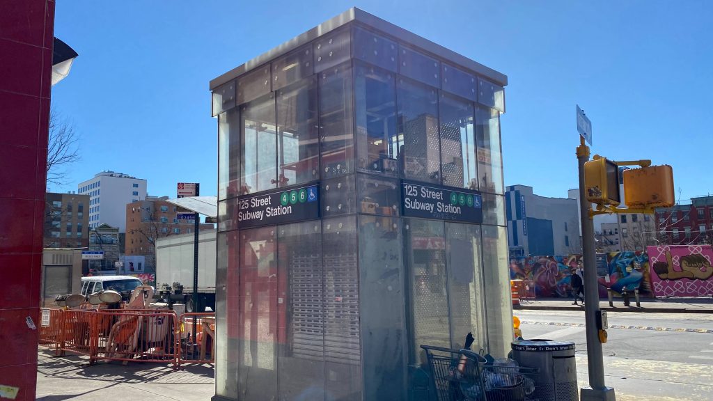
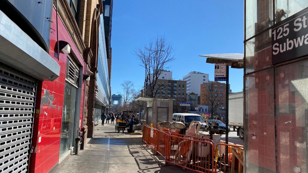
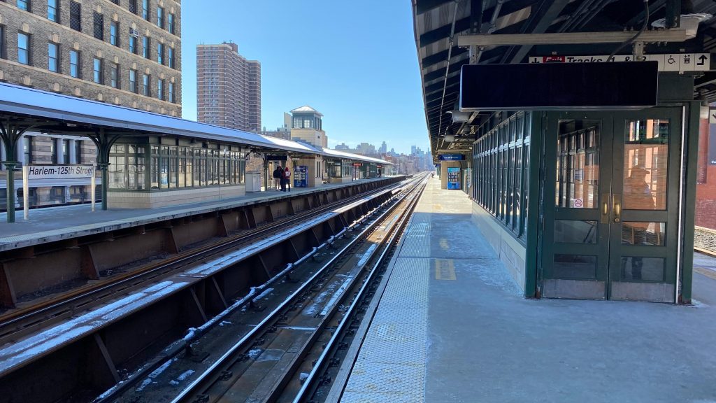
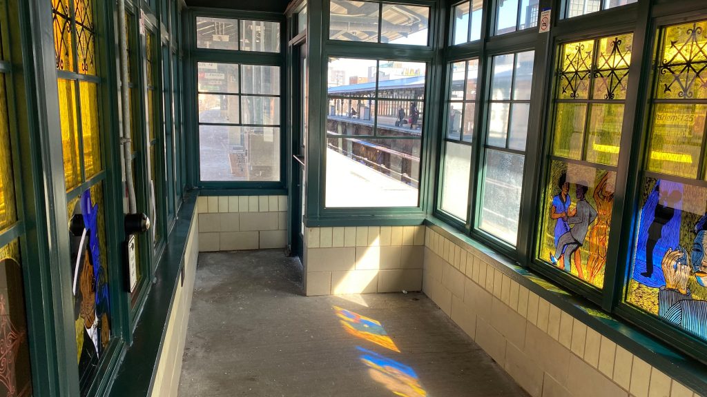
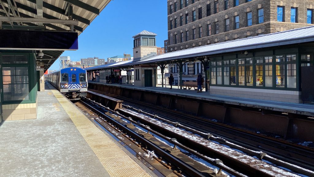
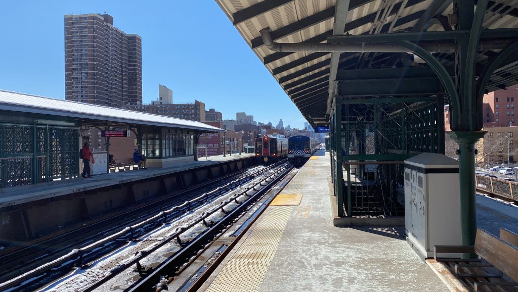
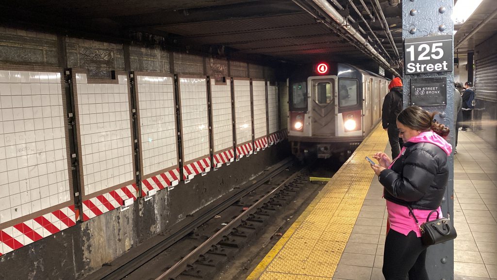
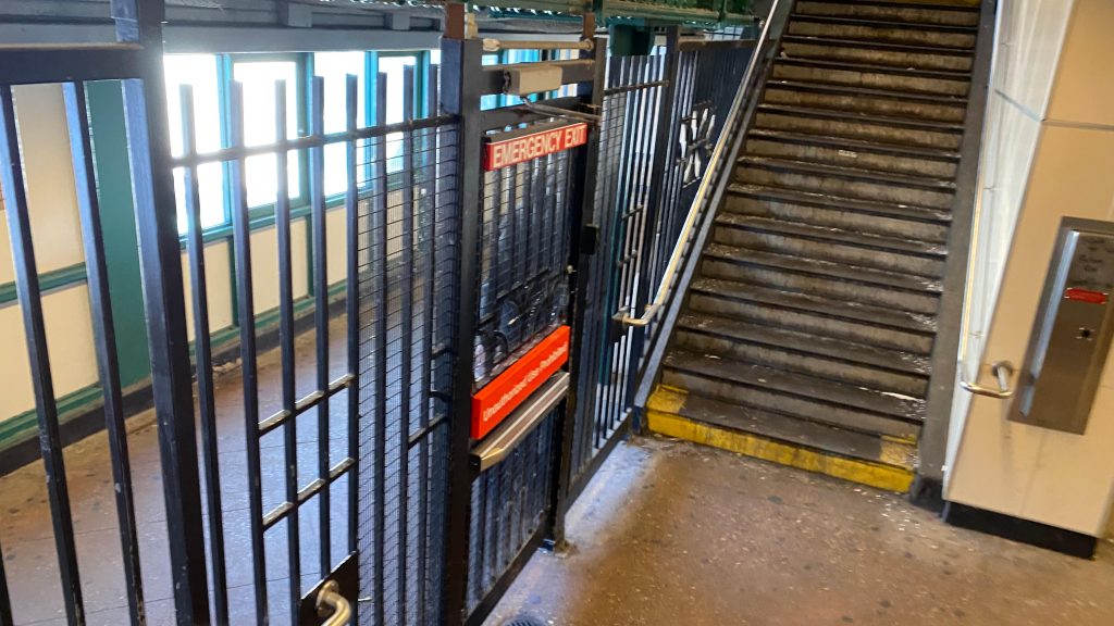
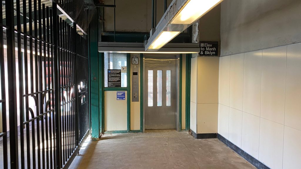
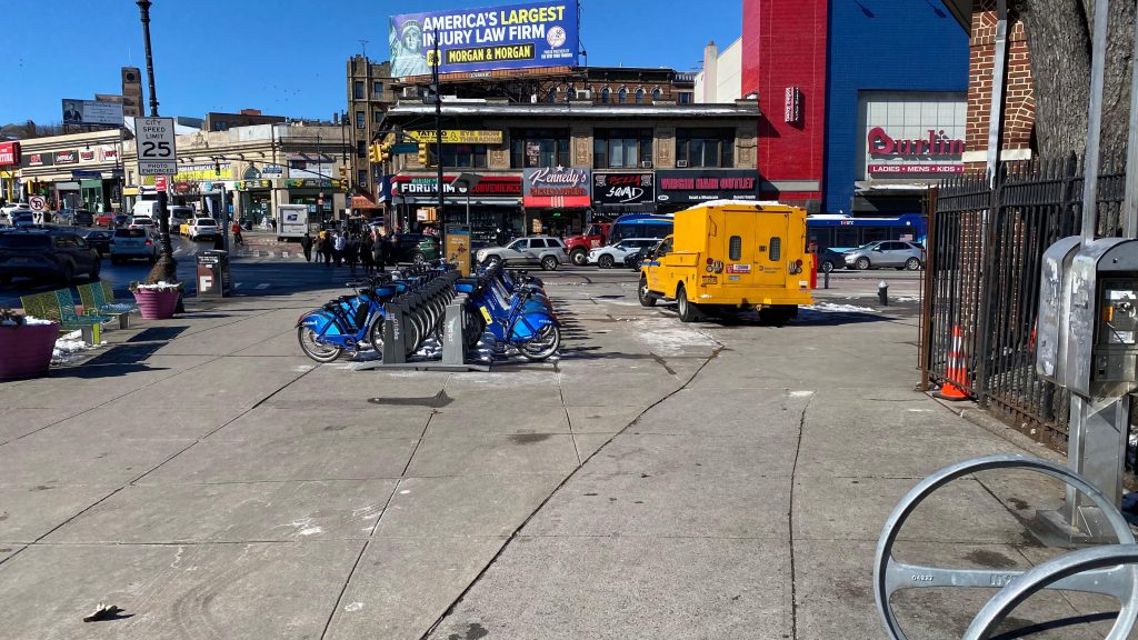
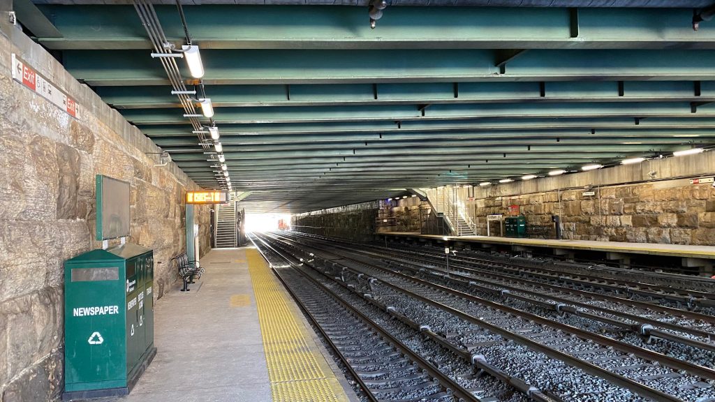
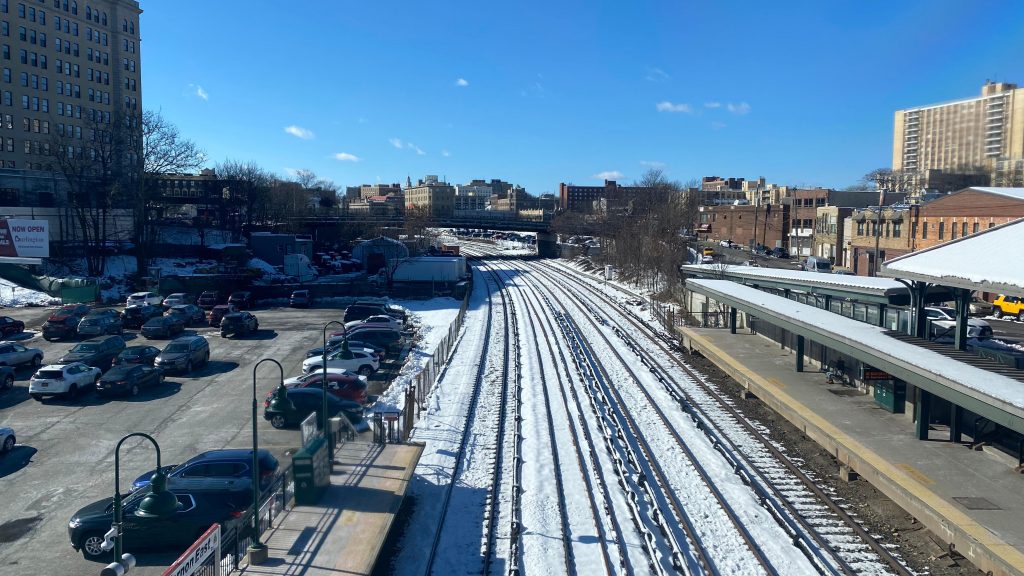
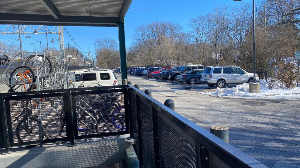
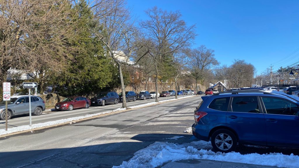
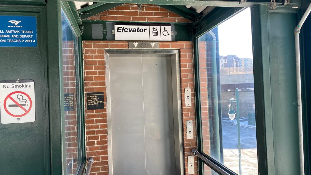
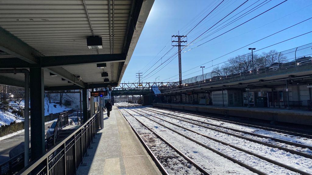
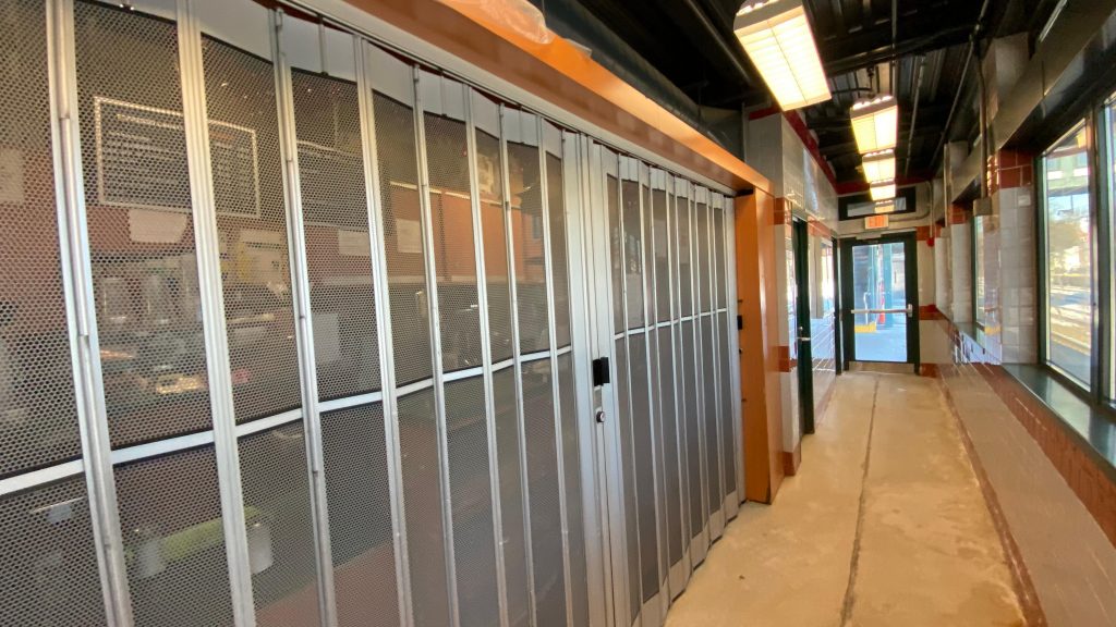
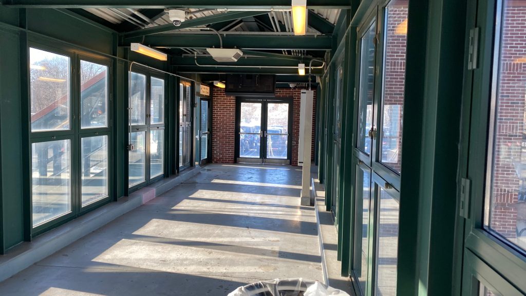
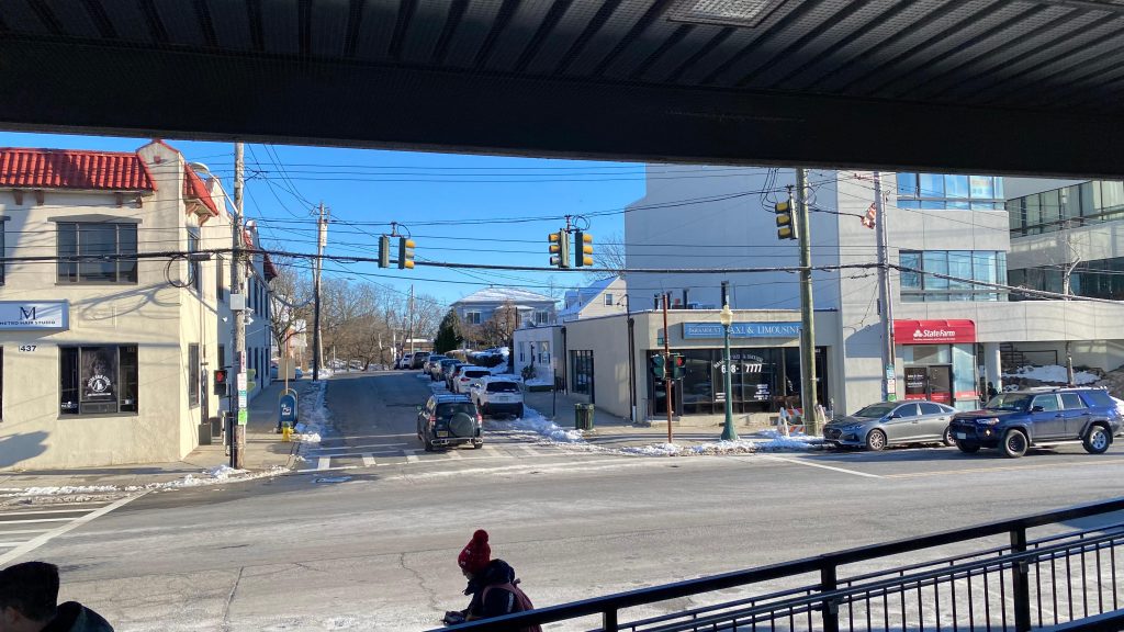
The subway station is pretty bogstandard with little noteworthiness. You have the usual benches, wastebaskets, and a mezzanine which was relatively crowded. Outside of that, you also have elevators and your stereotypical NYC subway station headhouse reminiscent of Central Square in Cambridge, Massachusetts. That, actually, probably was inspired by NYC, if anything. The platform setup are an upper and lower level, with the lower level being for southbound trains, and the upper level for northbounds. Above that is the mezzanine with fare control. Pretty normal to me.
Downstairs for the #s 4-6 Lexington Ave. Line southboundThe tracks looking northboundAnd looking southbound!THERE IS A. LOCAL. SIX. TRAIN TO. PARKCHESTER. APPROACHING THE STATION PLEASE STAND AWAY FROM THE PLATFORM EDGE.The mezzanine!The elevator!The RFK Bridge from afar!Southbound down Lexington Ave.!
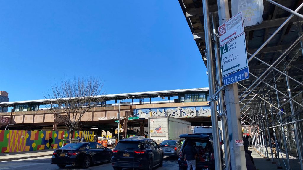
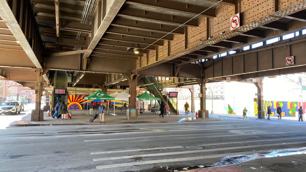
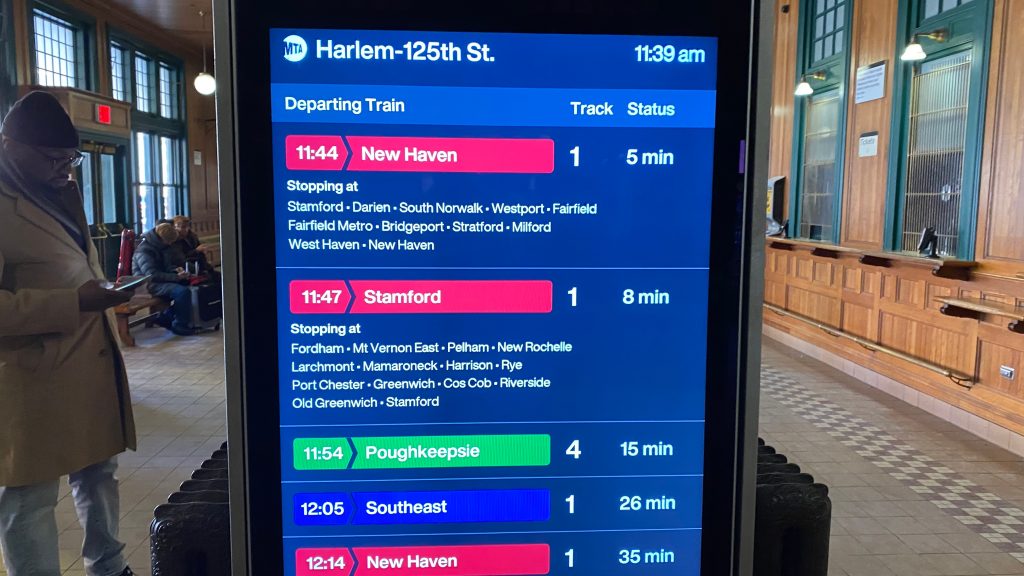
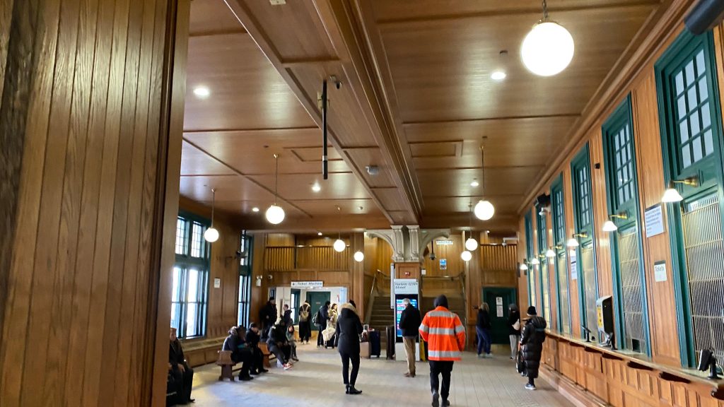
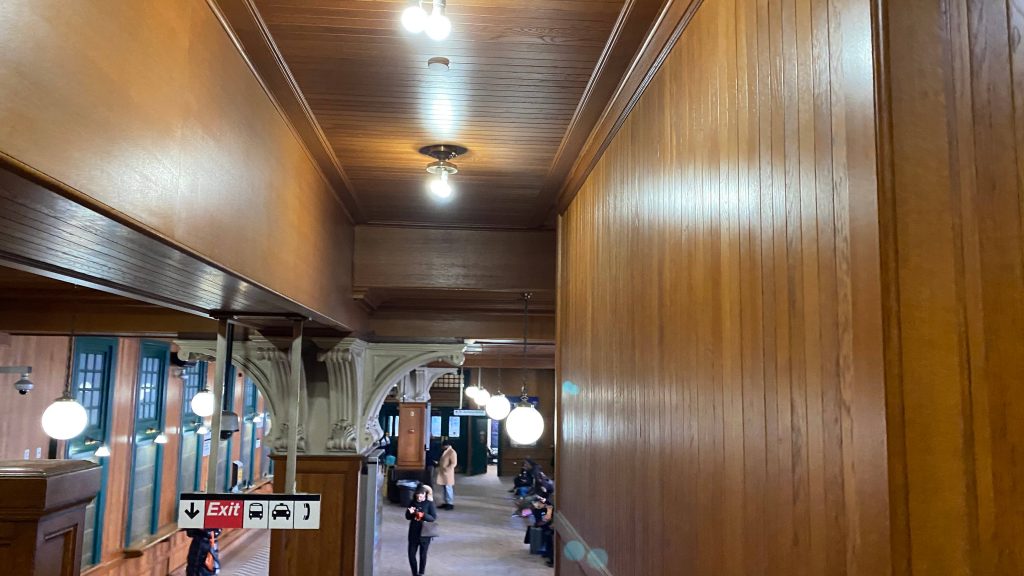
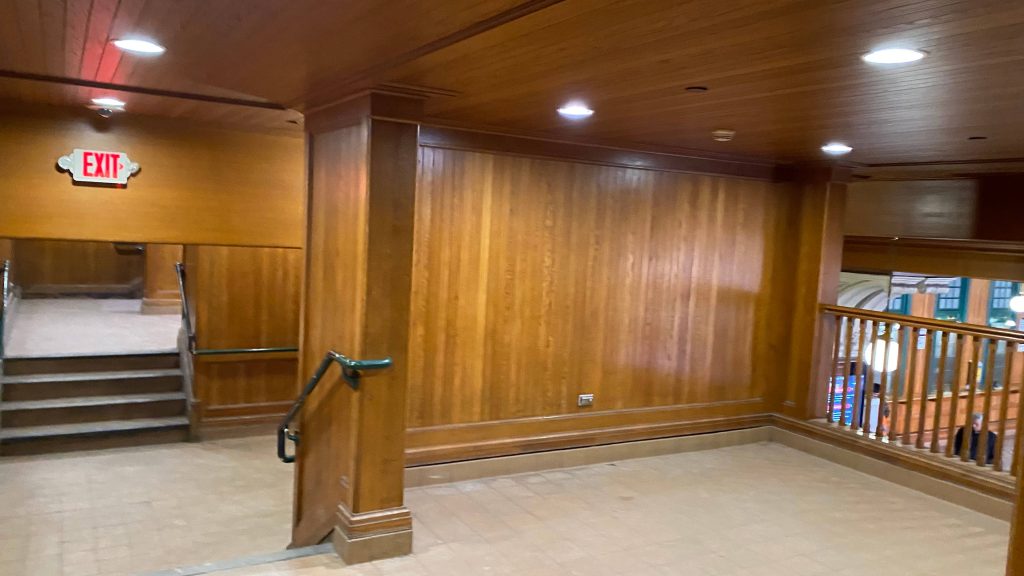
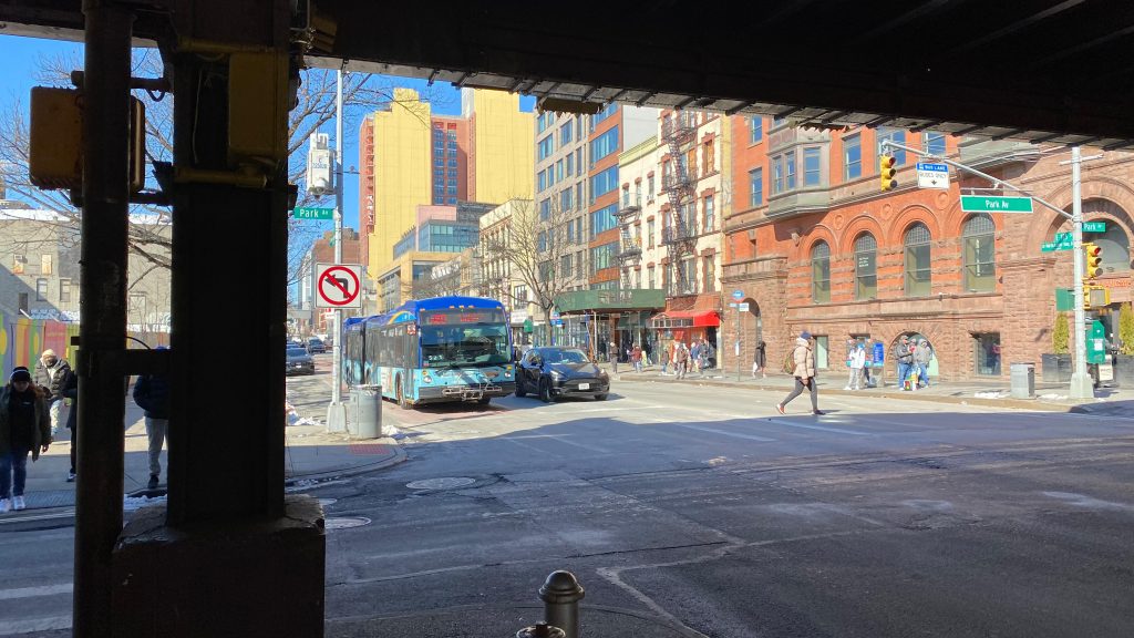
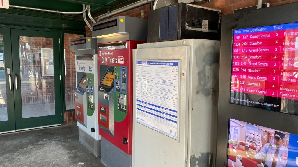
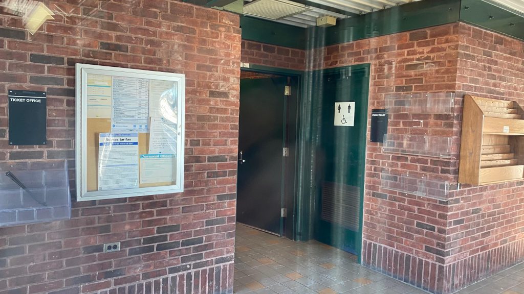
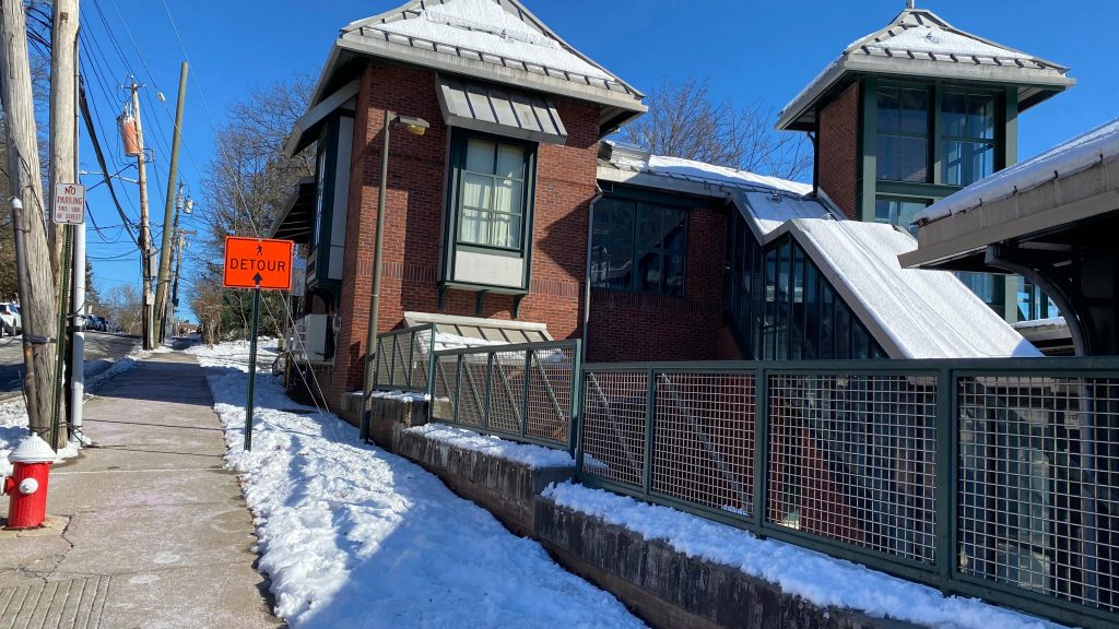
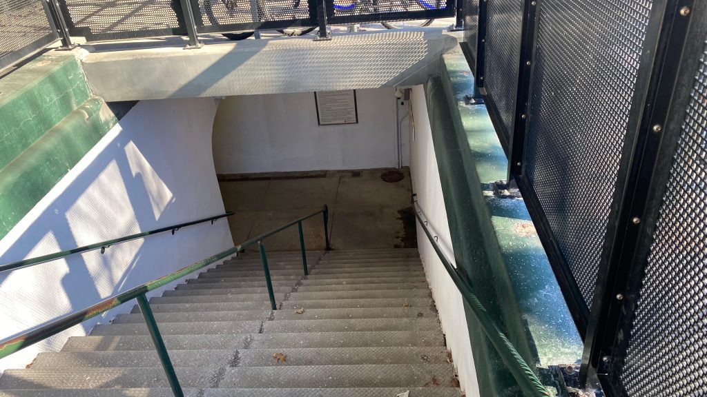
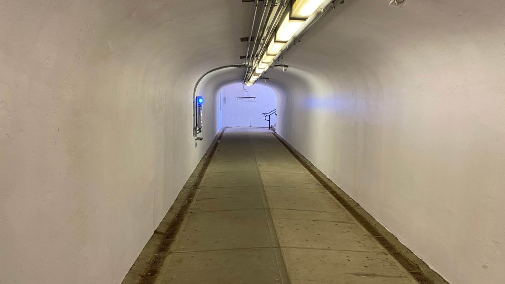
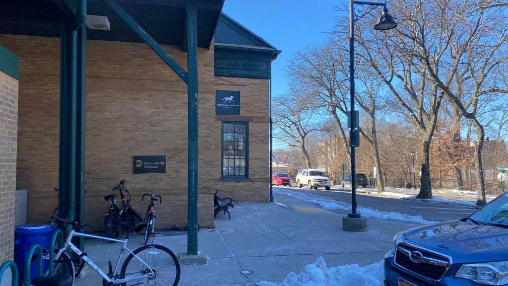
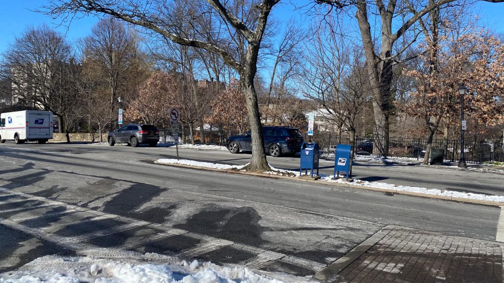
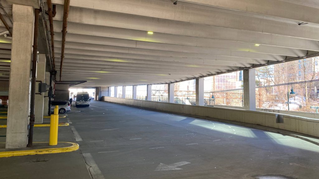
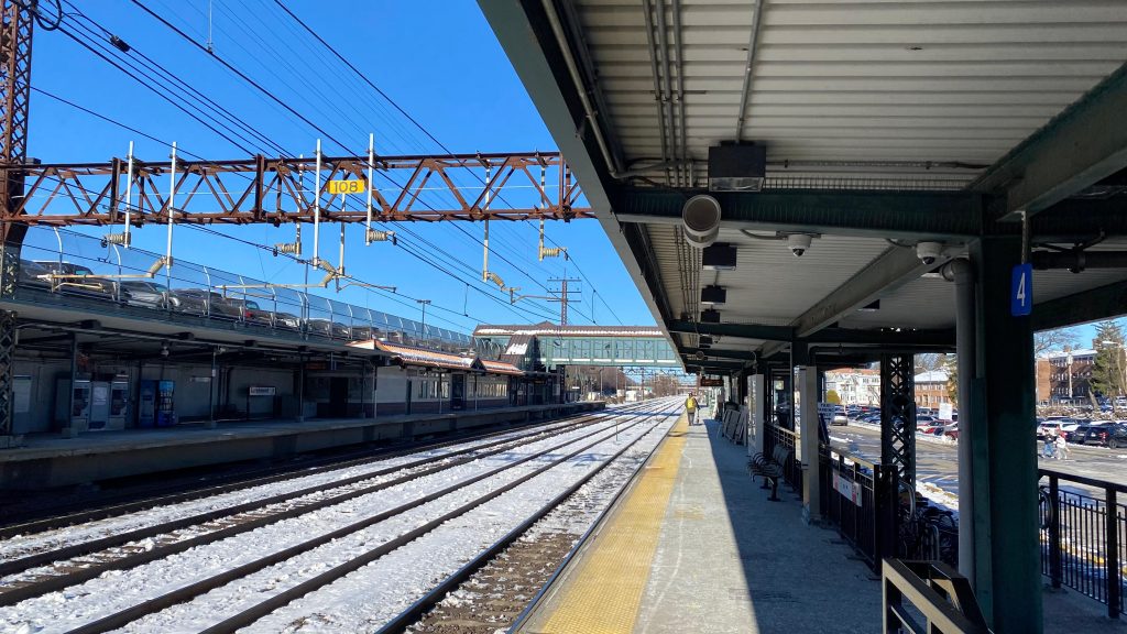
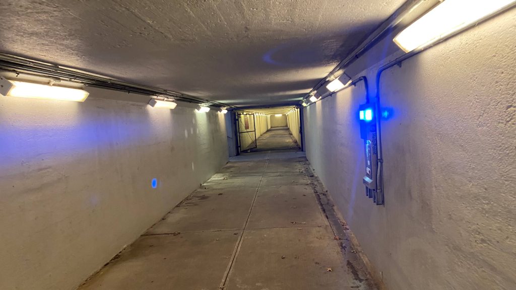
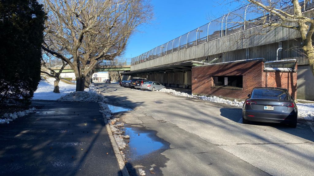
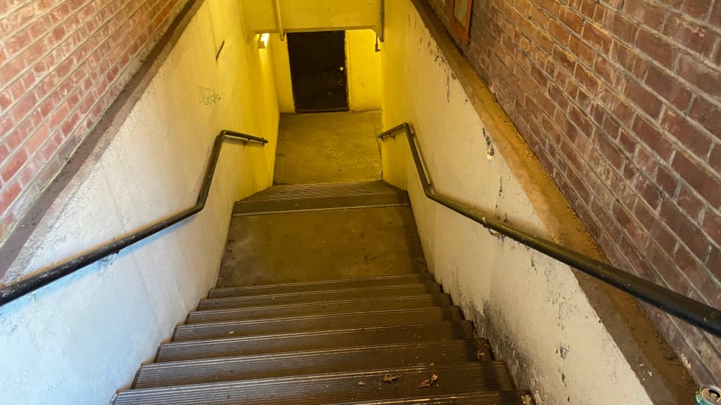
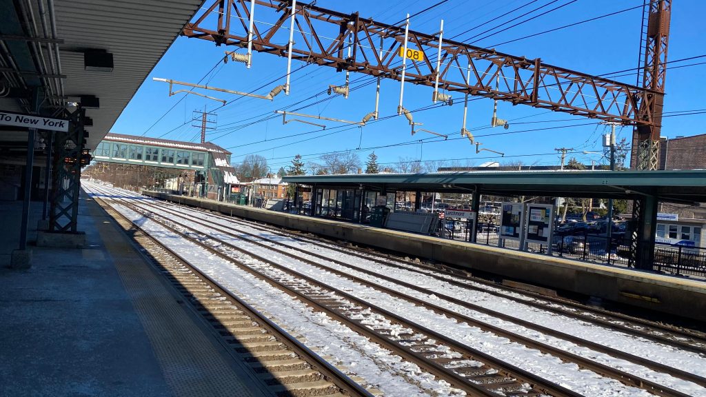
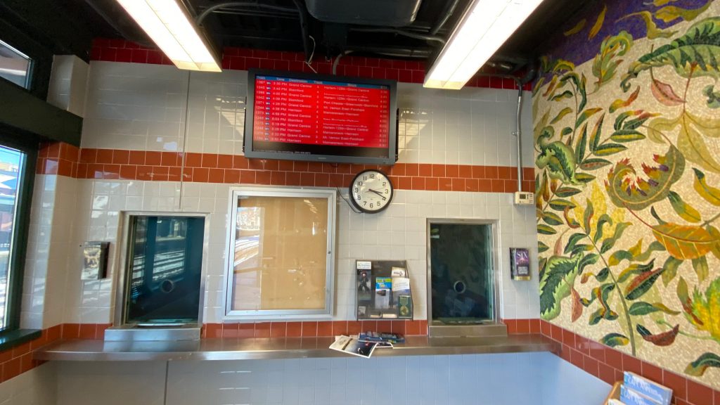
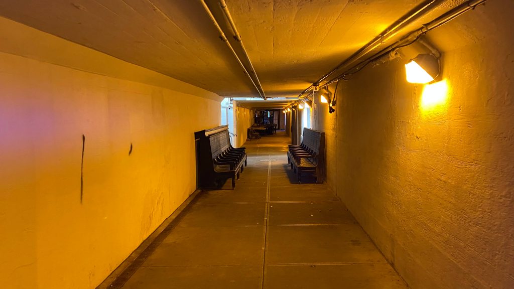
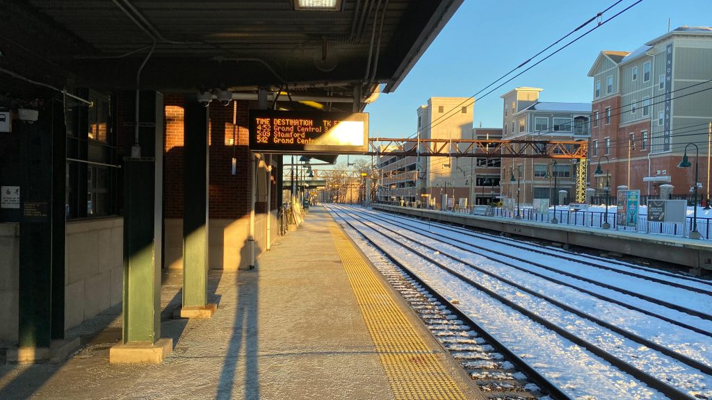
So, walking a block over brings one to Harlem-125th St. on Metro-North. The station’s a vibe, honestly, sitting underneath the Park Ave. viaduct. Well, I should describe better. The headhouse is directly underneath the Park Ave. viaduct and is quite the vibe. It feels a little dingy, yet as soon as you go in, it changes drastically. The place, oddly enough, also feels like a time capsule in a way. The waiting area was a bit busy, unsurprisingly given it’s Harlem’s commuter rail station. Furthermore, there’s ticket machines, a ticket office, elevators up to the platforms, and even restrooms! Neat! Going up to the platforms is your standard pair of islands, where there’s also exits straight to 125th St. Heated waiting areas can be found up here too, but they weren’t in use. There’s also modern destination boards similar to those in Port Chester and other stations (I’ve only seen them at Port Chester and in Tremont). Honestly, I like this station, it’s quite the vibe and it’s nice, all things considered, even if 125th St. and Lexington/Park Ave.’s isn’t the best of areas.
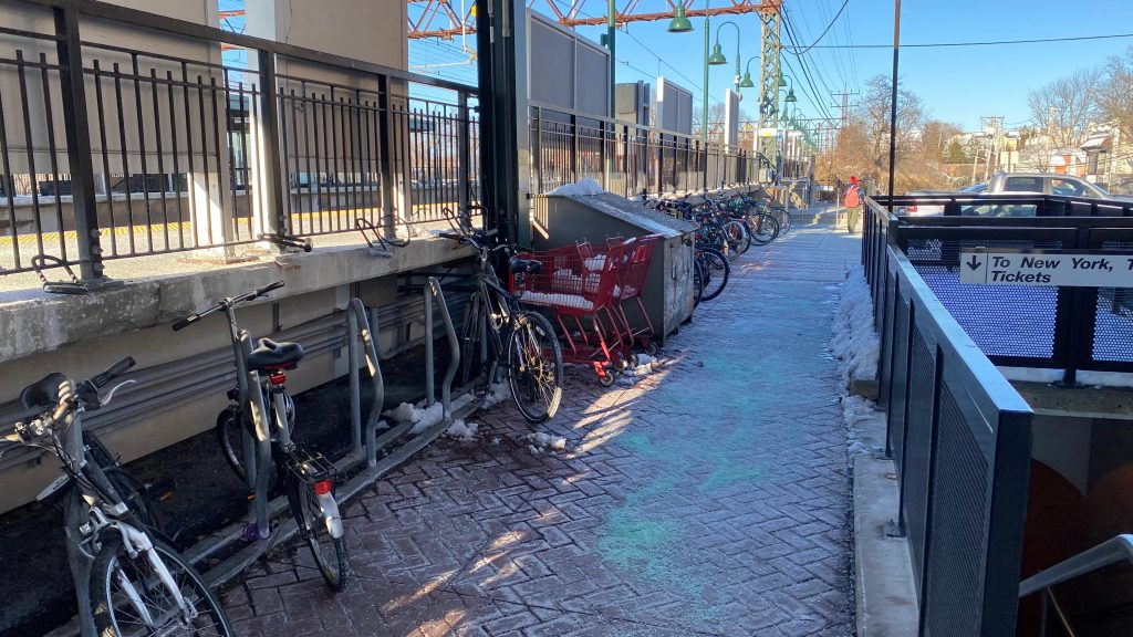
The viaduct from afarOkay, that viaduct actually looks nice with the art.Entrances bypassing the headhouse – presumably intended for after-hoursVintage wood!Departure board!Okay, this is an old time-y vibe and I LOVE it. It’s also surprisingly well-lit!Halfway up the stairsThe area halfway upTrack level, towards Grand CentralAnd towards Poughkeepsie, Wassaic, New Canaan, Danbury, Waterbury, and New HavenThe long urban canyon…Heated waiting area!An M7A!And an M8 passing the M7A!BUS connection.NOT IN SERVICEAnd onwards to Fordham, I go!
The good: The station’s honestly a vibe for Metro-North! Like, I honestly dig the old-school headhouse style and the fact the station’s on a viaduct. The area’s also pretty dense, and the subway station serves both express and local trains towards the Bronx. The M60 towards LaGuardia also stops here. Nice!
The bad: The subway station feels a little dingy, but that’s seemingly normal. Oh well! The subway to MNRR transfer can also kinda suck if the weather’s bad, too…
Nearby points of interest: You have some shops and parks nearby, along with the Harlem River!
Transit connections: Metro-North (Hudson, Harlem, New Canaan, Danbury, New Haven) Lexington Ave. (4, 5, 6, 6X) MTA bus (M35, M60-SBS, M98, M101, M103, M125)
Overall, I really like the Metro-North station, having a lot of charm with the vintage interior and being elevated. It’s probably a personal favorite, if anything. However, the subway connection is average with nothing much to be said. It’s passable and accessible, though!
Alrighty, so when I came to NYC, I figured I’d have enough time to get a head start on the MTA subway network, and since I was doing Fordham (Metro-North), I figured to myself “why not do the Lexington Ave. or 6th Ave. line stops?” Well, I’ve decided on the Lexington Ave. Line stop. So, with that in mind, let’s start the MTA subway network, shall we?
Fordham Road.
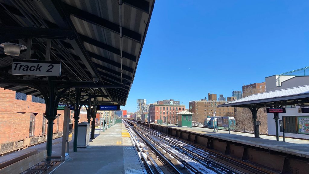
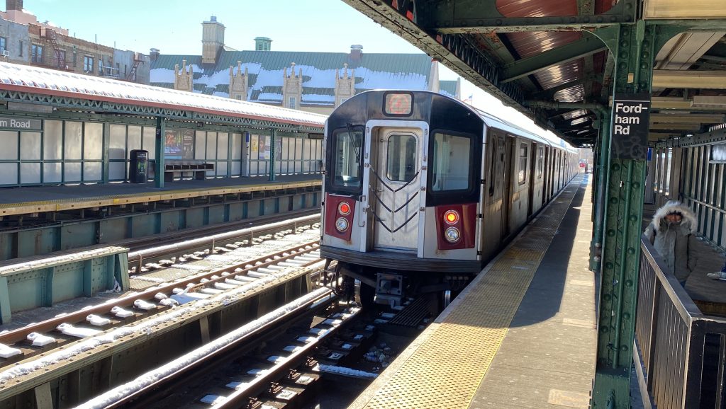
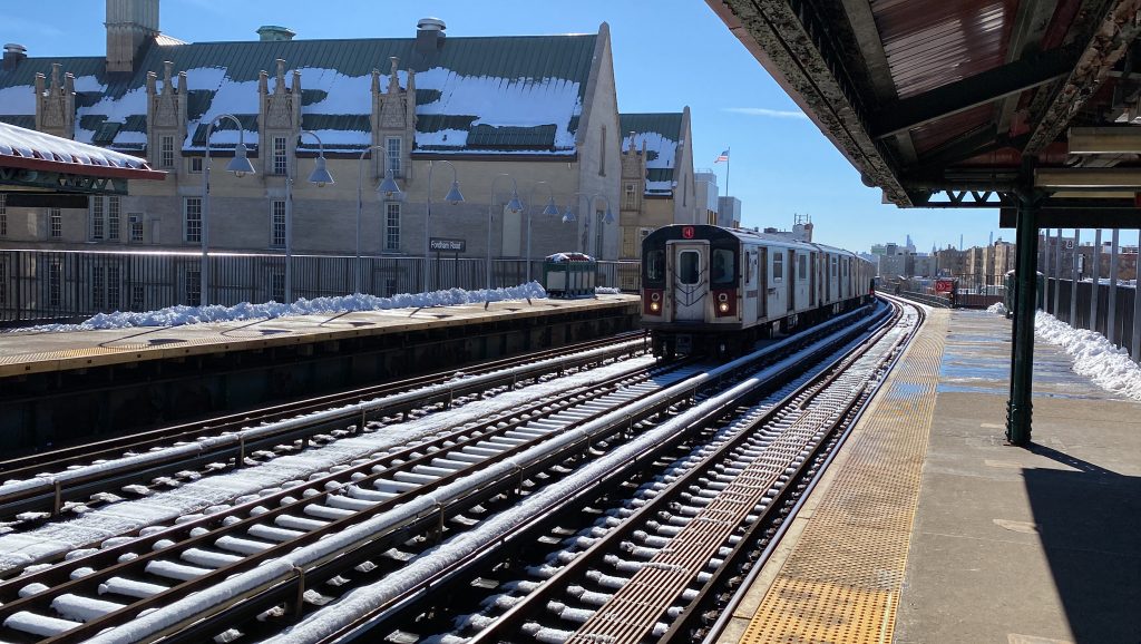
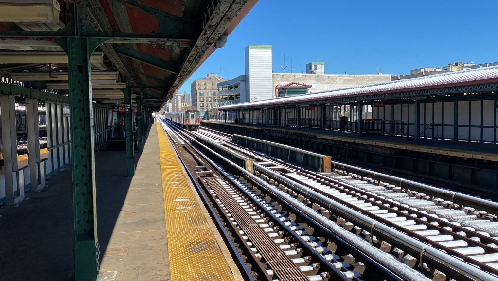
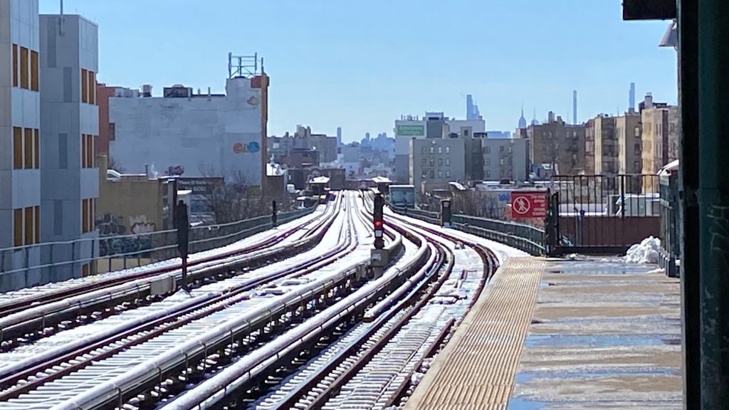
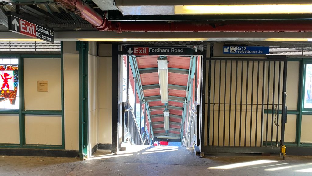
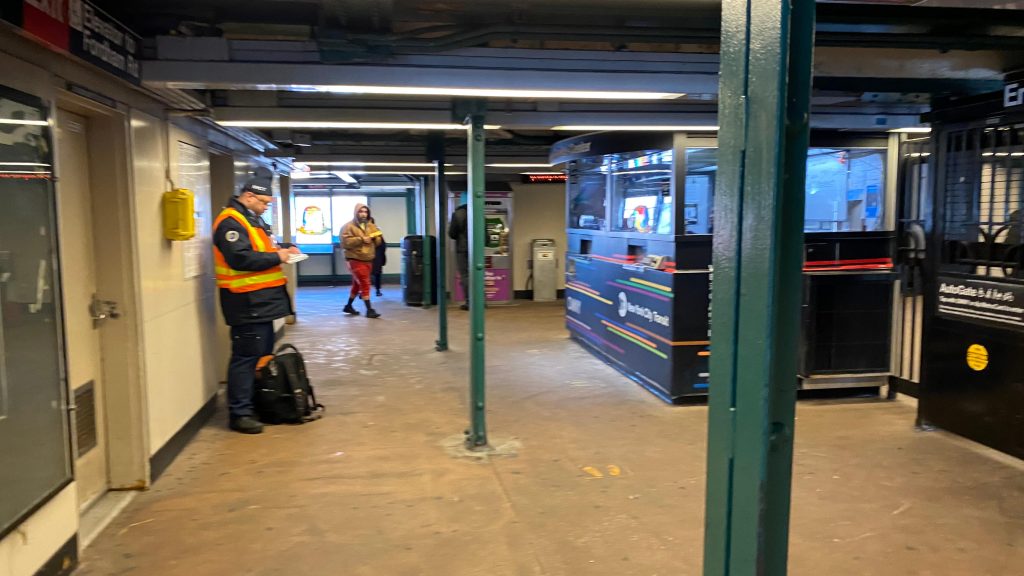
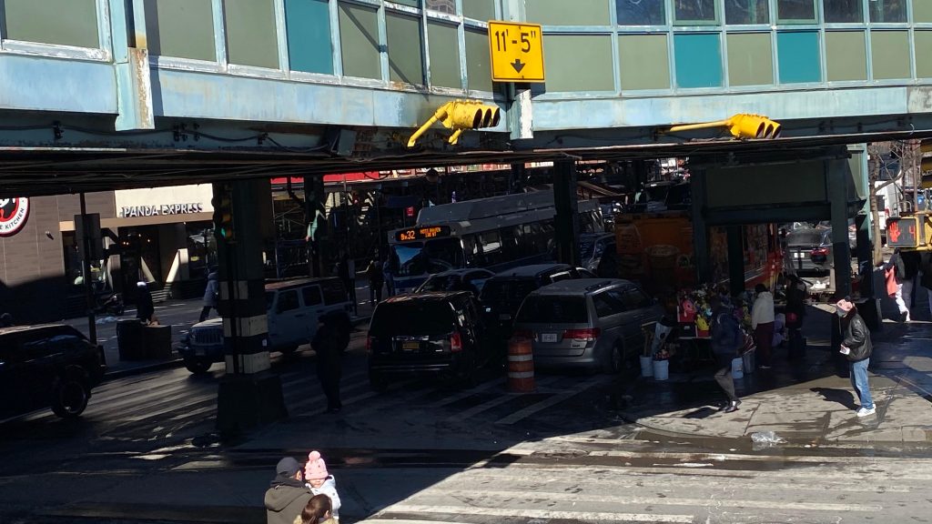
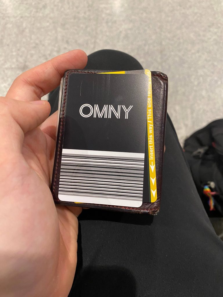
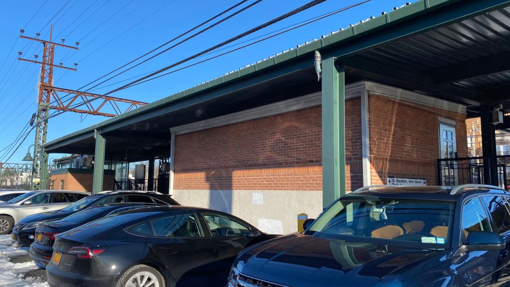
Alrighty, so the platform is pretty bogstandard that one would expect. You have benches, wastebaskets, and a decently sized sheltered waiting area. The track configuration is a little unusual though, being triple tracked rather than double, however there’s a reason. This section of the system (presumably) used to host express service, and the middle track would be used for said express service. When I came here, there was trackwork on the northbound local track so all northbound Lexington trains were sent down the express, bypassing everything. And, honestly, riding through here express was AMAZING. IT WAS AT FULL SPEED, FOR CRYING OUT LOUD!!!!! WOOOOOOOOOOOOOOOOOAH!!!!!!!!!!!!!! Anyhow, I digress. The station is pretty normal, you have seating, benches, countdown clocks, stairs, and elevators down to the mezzanine. In the mezzanine, you have your standard faregates (which are turnstiles and not the fold-out gates that the MBTA uses!), Metrocard ticket machines, an OMNY ticket machine, and even a station agent. Neat! Bus connections can be found at street level on Jerome Avenue and Fordham Road. It’s got some charm being an elevated viaduct, but is otherwise normal.
The northbound “uptown” platform was being bypassed today.Looking southI think this is an R142? Maybe an R188? An R143? An R160? They look indistinguishable! D:Express subway car?!Bye!!!!!I do believe I can see 183rd St. down there…I saw fare evasion happen with the emergency exit…Accessibility!Exit to Fordham Rd. and +SBS!The mezzanine!The Bx32!The headhouse from street level!
The good: It’s in a populated area and is pretty damn close to a major shopping area! The #4 Lexington Ave. Line is frequent enough, being about every 10 minutes. The Bx32 is also relatively frequent for bus connections, so there’s that as well. There’s also an on-foot transfer to the station on Grand Concourse as well, but I didn’t cover that one. Sorry! Oh yeah, there’s also an OMNY vending machine here!
The bad: It can get kinda cold, and I have a hunch that things can get busy during rush hour……. It can also be a little unsafe if you’re stupid. Also, I was told that throwing gang signs around here isn’t smart, so uhhhh, don’t do that. (that should be common sense anyways)
Nearby points of interest: The many, many shops of Fordham Rd.!
Transit connections: Lexington Ave. (4) MTA bus (Bx12, Bx12-SBS, Bx32)
Overall, for a first station entry on the MTA subway, it’s alright. It’s got some charm being an elevated station, and I actually look forward to doing more station entries on the MTA subway. So, stay tuned in the future! 😀
Why is the above relevant? Well, that’s because we’re going to be talking about nomenclature and naming convention. Lines vs. routes vs. trains, colors vs. alphabet soup, wayfinding, inbound/outbound, the hell even is an “uptown”?! Well, you name it, I’ll be sure to mention it and talk about it a little, and some of the problems a decent naming system can prevent, and a bad naming system can cause.
Some MBTA wayfinding
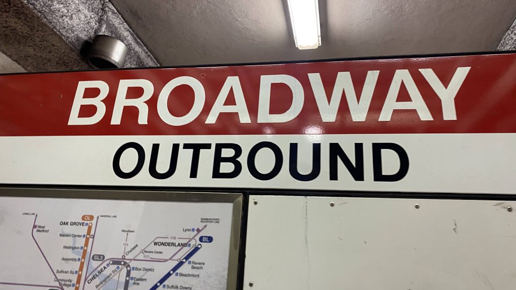
First, let’s take a look at what I’m most familiar with: the MBTA. So, the MBTA uses terms like inbound/outbound, the rainbow for subway lines (alphabet soup for the Green & Silver Lines specifically, primarily), and overall is pretty damn good with regards to wayfinding. Inbound and outbound are relative to Park St., Downtown Crossing, Government Center, and State Street (going towards these four is “inbound”, away is “outbound”). Then, there’s the Green Line. The Green (& also Silver, as it applies here too) are split into four branches: B-E. Wayfinding here is a bit gorey as all the signage will say “GREEN LINE – [TERMINAL]/PARK ST & NORTH/COPLEY & WEST”. Not exactly helpful for signage, if you were to say “go take a train signed for Heath Street” or “board a D train” – as the signs will NOT tell you this. Good wayfinding consistent with what’s on rolling stock? Well, not entirely…
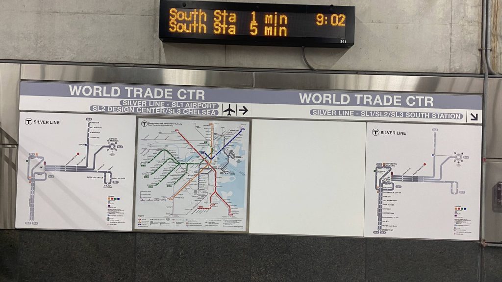
Silver Line?!
The Silver Line (at least, the Transitway), however, is different… Yeah. As seen above, not only do you have a map of the Silver Line, you also have signage WHICH TELLS YOU WHAT THE ROUTES ARE SIGNED AS ON THE BUSES AND WHERE THEY GO!!!!!! WOAH, THIS IS ACTUALLY KINDA USEFUL! On the other hand, with the Green Line also existing, this KINDA LEAVES A LOT TO BE DESIRED THERE! Like, why not have signs say “B/C GOVERNMENT CENTER”, “D UNION SQUARE” and “E MEDFORD/TUFTS” (or B BOSTON COLLEGE, C CLEVELAND CIRCLE, D RIVERSIDE, and E HEATH ST.)?!
Oh dear god
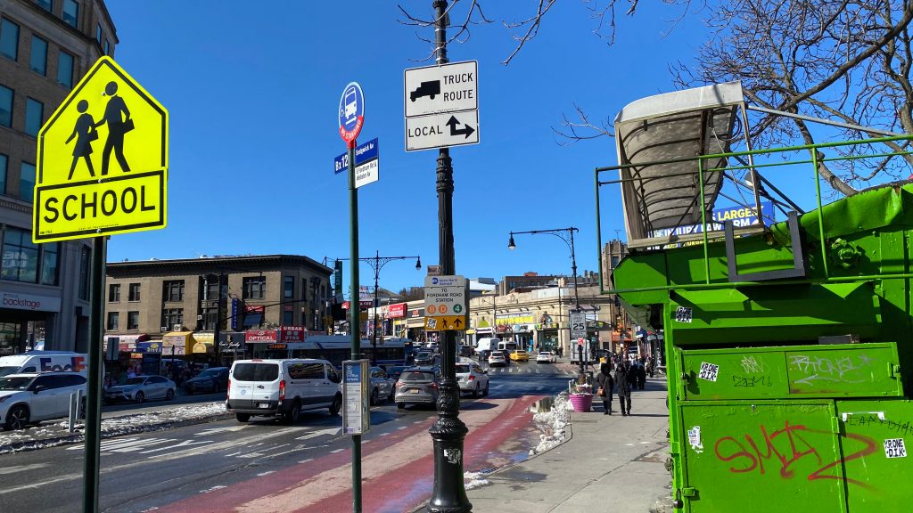
And then you have wayfinding like in NYC……. Well, to the uninitiated (like myself), it looks immensely gorey. The fuck is an uptown, the hell does all this mean, and why does the Red Line stop on many platforms?! HELP, I DON’T GET ANY OF THIS!!!! Well, chill there, little Timmy…
First off, it’s highly frowned upon to call subway lines by way of the rainbow in NYC. I mean, you can, but then you’ll have a case where “125th St. on the Red Line” can mean 125th & Broadway (the #1 Red Line) or 125th & Malcolm X Blvd. (the #2 and #3 Red Line). For cases like this, it’s usually prudent to just use cross-streets, or simply the service name. What’s a service? Well, think of a service like the Green or Red Line’s branches in Boston. Essentially, services in NYC are what branches are in Boston, and are more “routes” like bus routes are. Furthermore, the colors primarily refer to where in Manhattan the routes run. From left to right, north to south:
Blue: 8th Ave. Red: 7th Ave. Yellow: Broadway Orange: 6th Ave. Green: Lexington Ave. Teal: 2nd Ave. (not currently used) Purple: Flushing (runs underneath 42nd St. primarily) Silver: Canarsie (runs underneath 14th St. primarily) Brown: Nassau St.
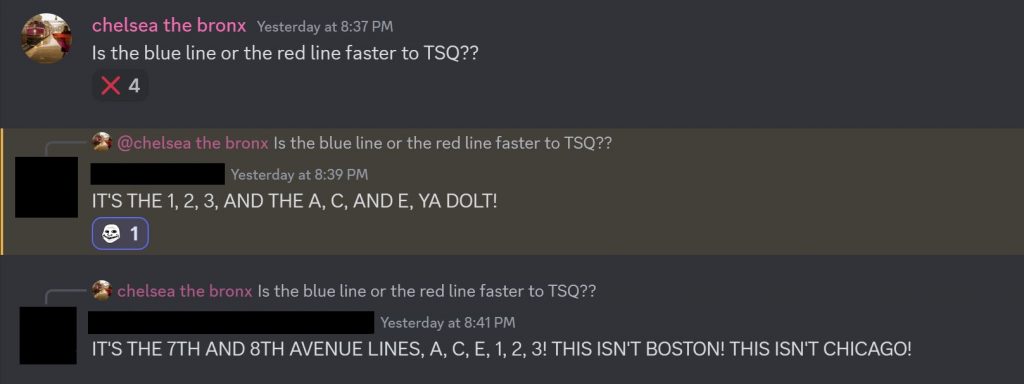
But then you have the Crosstown Line (which doesn’t touch Manhattan at all), which is also green (but lighter green), and the shuttle lines are also in silver-grey (used for the Times Sq.-Grand Central, Franklin Ave., and Rockaway shuttles). But, whatever you do, do NOT use the rainbow, as tempting as that may be, or this might happen:
This screenshot was doctored, but it illustrates what happens when you use the rainbow in the context of NYC.
What the hell is an “uptown”? Simply put, uptown is north. Downtown, while you might be tempted to think is a synonym for “city center”, and in most cases you’d be right (downtown Boston, City Center Philly, Downcity Providence, can all be referred to as “downtown” and you probably won’t raise eyebrows out of confusion). However, use that in New York, and you’ll invariably raise eyebrows. Where IS “downtown”? Common sense might tell you “it’s near where Penn Station, Grand Central, the World Trade Center, UN HQ, etc. are”, however it’s not that simple…
Yes, there are actually MULTIPLE downtowns in NYC. “Downtown” without any place names simply refer to “south”, and “downtown Manhattan” is synonymous with lower Manhattan. However, you also have downtown Brooklyn and downtown Flushing in Queens. So, while it’s reasonable to think “downtown NYC” if you’re not familiar, just bear that in mind that most will probably default to lower Manhattan.
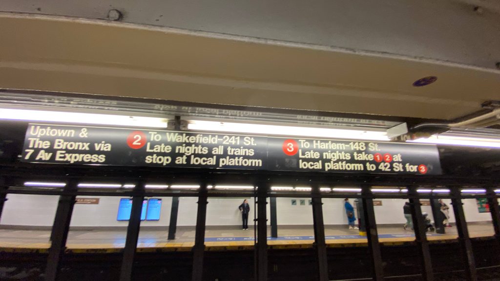
Back to wayfinding, what the hell does that sign mean? Well, let’s break it down. We’ve established that “Uptown” is north, The Bronx refers to, well, the Bronx, so what does the rest of the signage mean? Local tracks are the outer tracks in a 3- or 4-track setup, with express tracks being the inner tracks. So, essentially, the sign is saying “#2 and #3 7th Ave. Line stops at this platform heading north. #1 and #2 7th Ave. Line stops on local tracks during nights, change at 42nd St. for #3 7th Ave. Line”. That’s pretty much what the wayfinding sums up to. Sometimes, some routes that normally run express will run local at night or weekends, or they might short-turn somewhere before their terminus.
Other cities are relatively tame when it comes to wayfinding, like Chicago or Philly (I sadly don’t have many pictures of either), however typically NYC is considered the goriest and it’s understandable from an outsider’s POV on why that might be so. However, typically, if you need any help figuring out the gorey mess (at face value), usually Google can be of help, as are any staff that are at the station. There’s no shame in asking, and when I was in NYC I may have had to ask for a little bit of help myself.
So, how does this play into my blog? Well, I use the line name in the titles for subway stations, and rail operators for commuter and intercity rail stations. The MBTA was easy enough, as I could just simply suffix (Blue Line), (Red & Green Lines), etc. to each title where applicable. Metro-North is also easy, as I could just suffix (Metro-North) to each station, or (Amtrak/Metro-North) where applicable. But, the MTA? Each subway line is more a “route” than an actual line, as I said earlier. So, how am I handling this? Well, this poses another conundrum. For titles, usually grouping subway lines together is better for readability. I’d be more inclined, personally, to click something that read, as an example:
I mean, yeah, using alphabet soup is quicker, if I’m typing, but it’s also not really pursuant to readability. Plus, using those rules, I’d have to go back and retroactively change every Red Line station to (Ashmont/Braintree), every Green Line to (B/C/D/E), and every Silver Line stop to (SL1/SL2/SL3/SL4/SL5) or whatever is applicable. And, I don’t want to do that. So, for the sake of maintaining consistency between agencies and not pissing off the foamers in the room, I’m using the actual line name rather than the alphabet soup. And, with that, I hereby conclude my rambling on nomenclature and wayfinding.
Now excuse me, I need to go shit on the #7 Flushing Line for being overhyped (or smth, i actually don’t know what to do from here)
TL;DR: consistent naming convention is good. Wayfinding that isn’t a garbled mess or too overwhelming is good. Duplicative naming can be bad if there’s no way to differentiate.
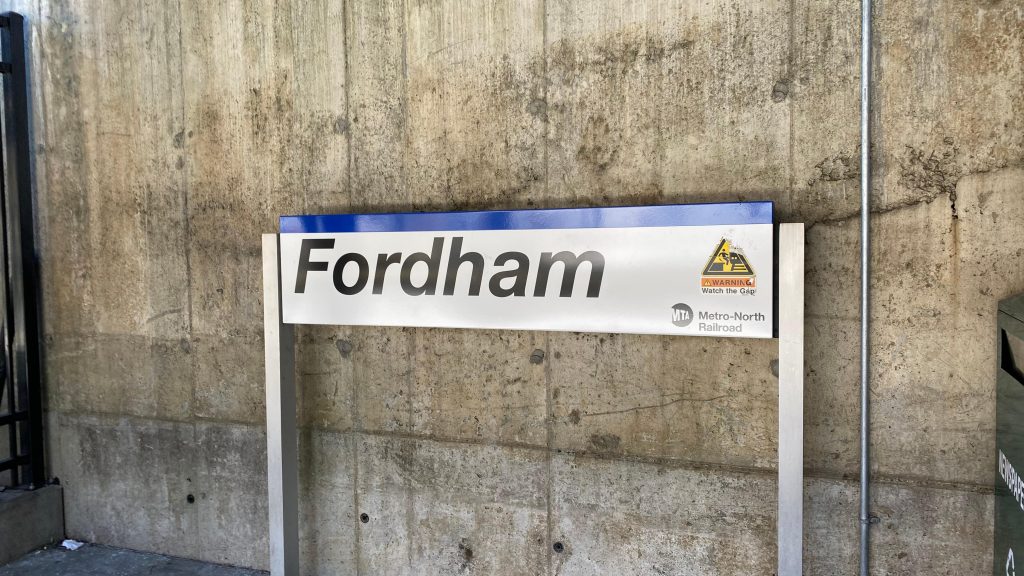
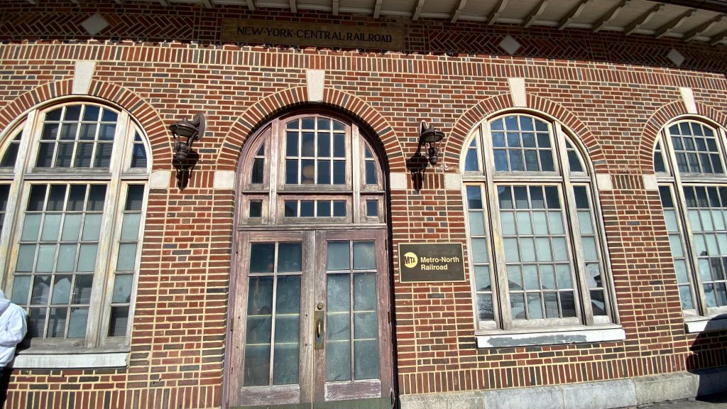
OH SHIT, WE’RE IN NEW YORK CITY?! Yes! We’re in NYC! And I’ll be doing not one but SEVERAL station entries on stuff in NYC. Because I’m working my way south down into the core of Manhattan Island (henceforth simply Manhattan), I’ll be starting with Fordham (even though this was in the early afternoon and I did four stations before this chronologically). So, with that out of the way, welcome to the Bronx!
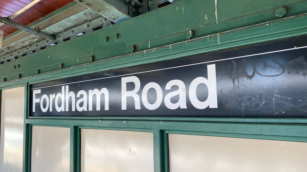
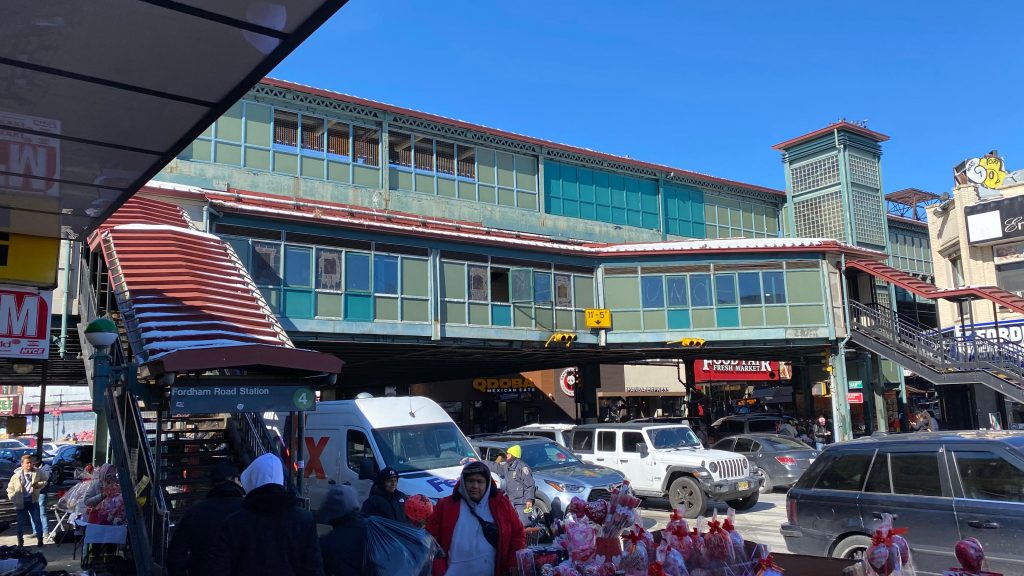
Station sign – in BLUE?!
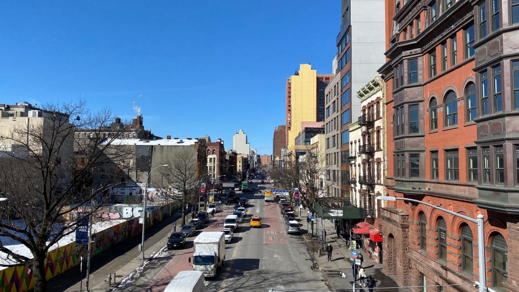
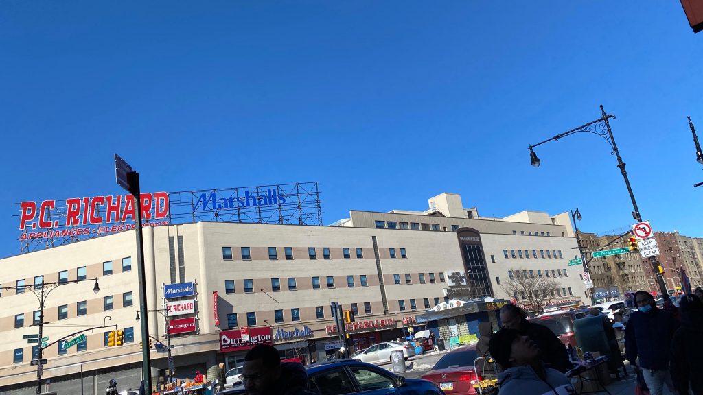
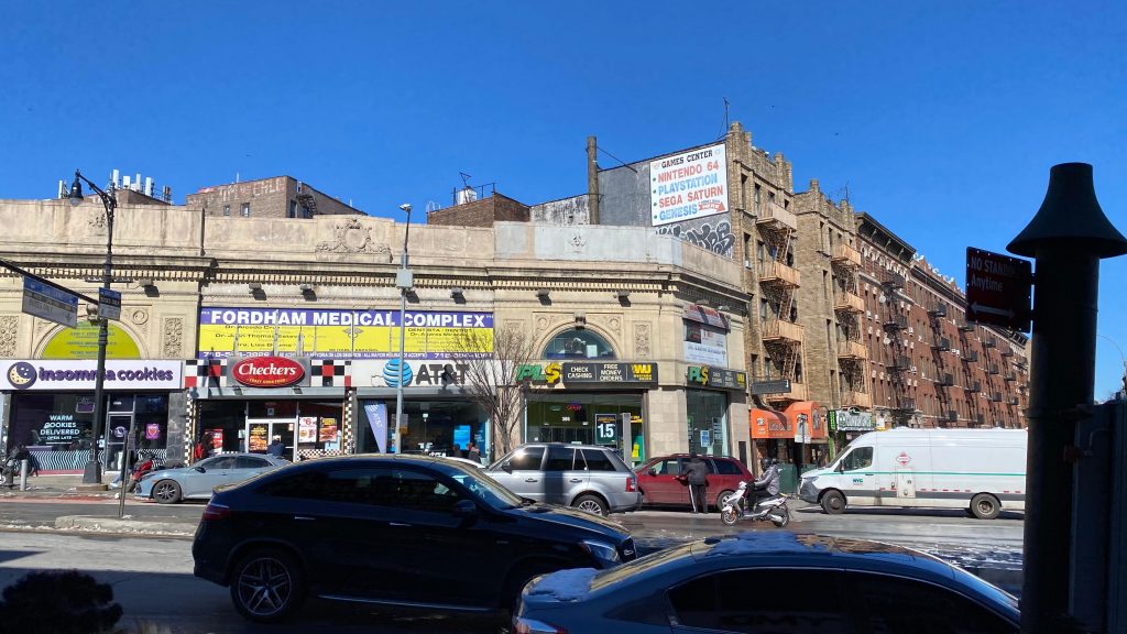
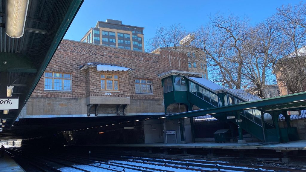
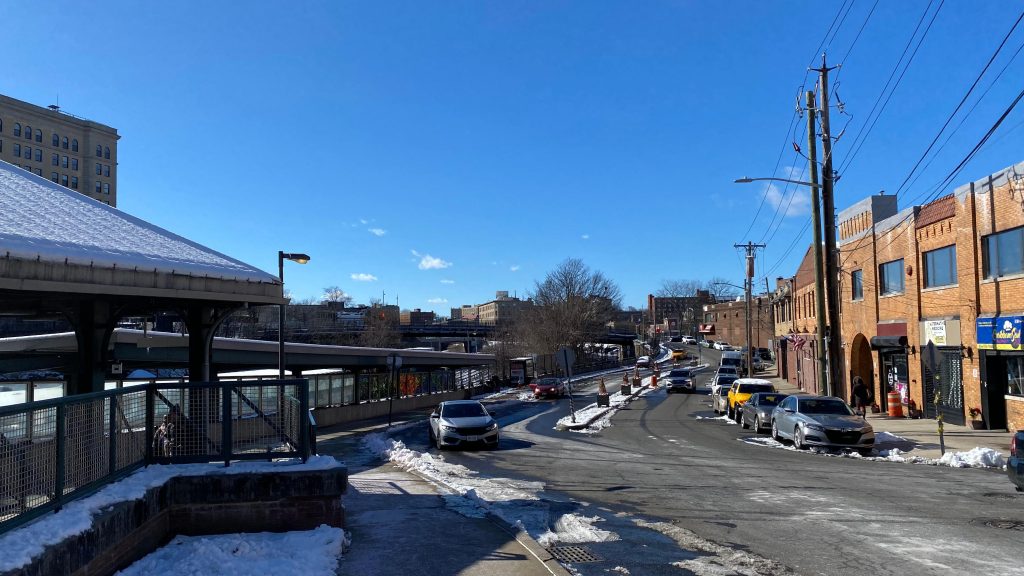
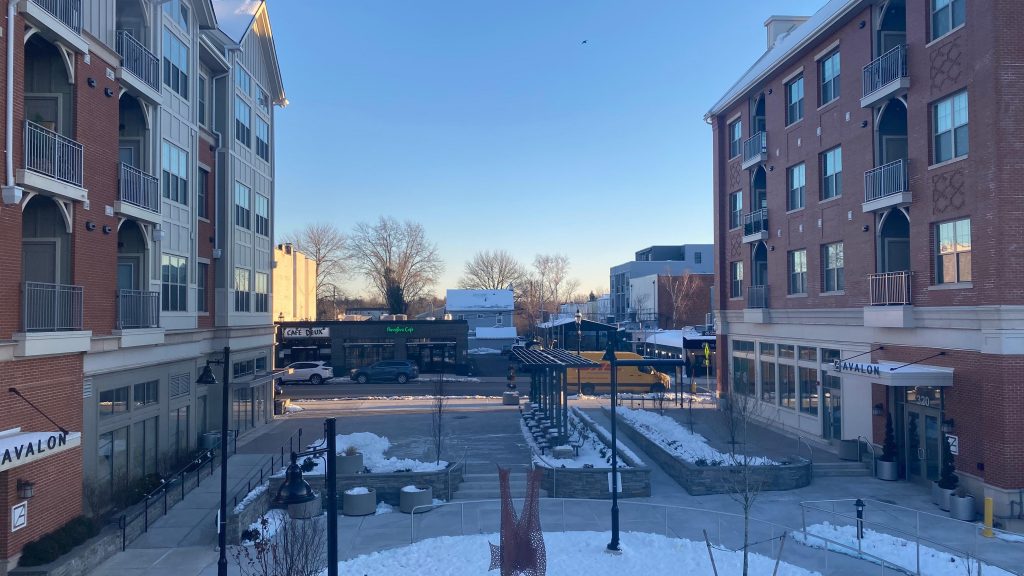
The station is located on its namesake road (Fordham Rd.), and is also named Fordham-East 190th St. on timetables. However, nobody mentions East 190th St. when mentioning this station, not even Metro-North on station signage, so it’s just gonna be “Fordham” for this entry. Naming is gonna get a little messy for NYC, so there’s gonna be an entry about that too. Stay tuned. Anyways, I digress. I walked from Fordham Rd. station (the one at the intersection of Jerome Ave., not at Grand Concourse) and got lunch before coming here, and the area’s pretty freakin’ dense. You have shopping plazas everywhere and in general, it’s just so damn lively. I vibe with it, honestly. You also have Fordham University next door as well. Outside are some BlueBi- oh, they’re called Citibikes here? Sorry, force of habit. Outside are CitiBikes, bus connections to both the MTA bus network and Bee-Line’s 62. In fact, there’s even signage pointing to the “Bronx Zoo Bus” (the Bx9 to West Farms Square)
Some shopping on the Grand Concourse!Some more shopping on E. Fordham Rd.!Bendy bus!Fordham PlazaNot BlueBikes, but rather CitiBikes!Wayfinding!And even MORE shopping!
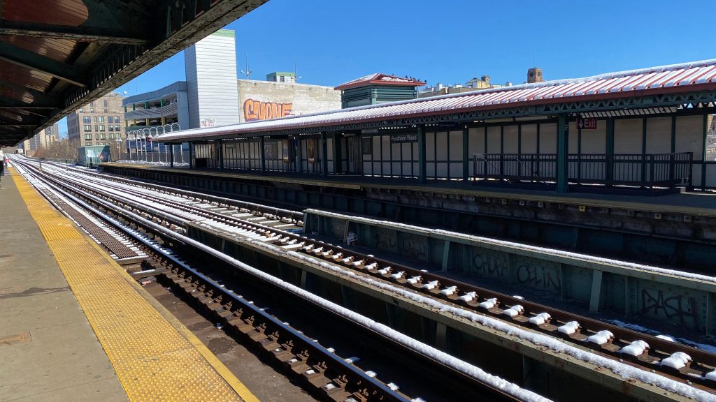
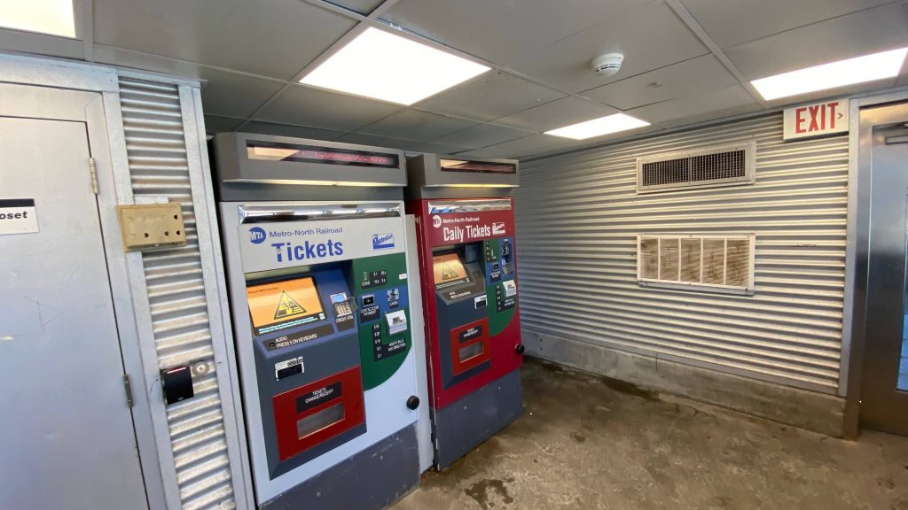
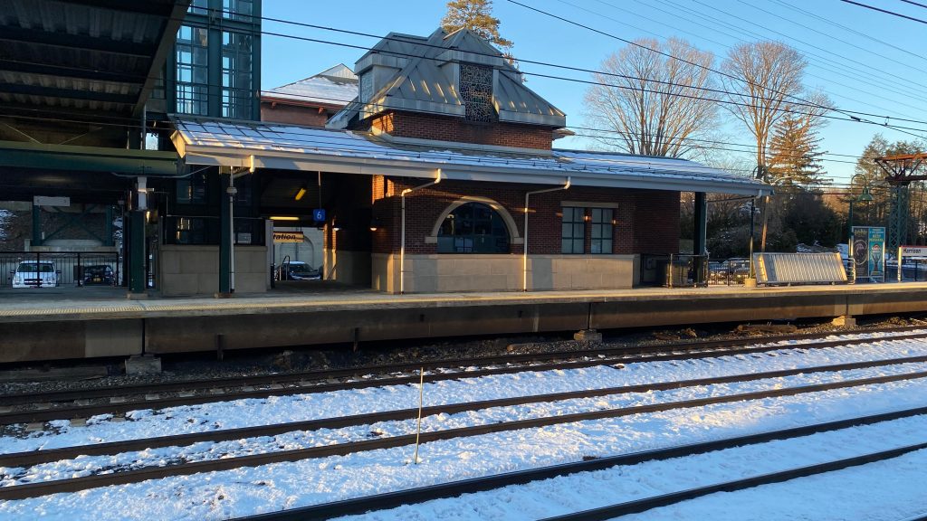
Anyways, the station itself! The station has a historic headhouse that’s still intact, has a small indoor waiting area with ticket office, vending machines, and ticket machines. There’s also exits to the platform directly from outside. The platforms are also pretty standard, but they go REALLY FAR. Or, at least, they feel very long. In reality, they’re 800ft long like your standard MBTA full high-level platform. There isn’t really much in the way of heated waiting areas down here, but why would you need that when the station headhouse is open? Elevators, of course, also exist for accessibility. Yay! This is actually pretty freakin’ good. I must admit, though, I find it amusing the inbound platform’s signage reads “To New York” as if the Bronx isn’t New York.
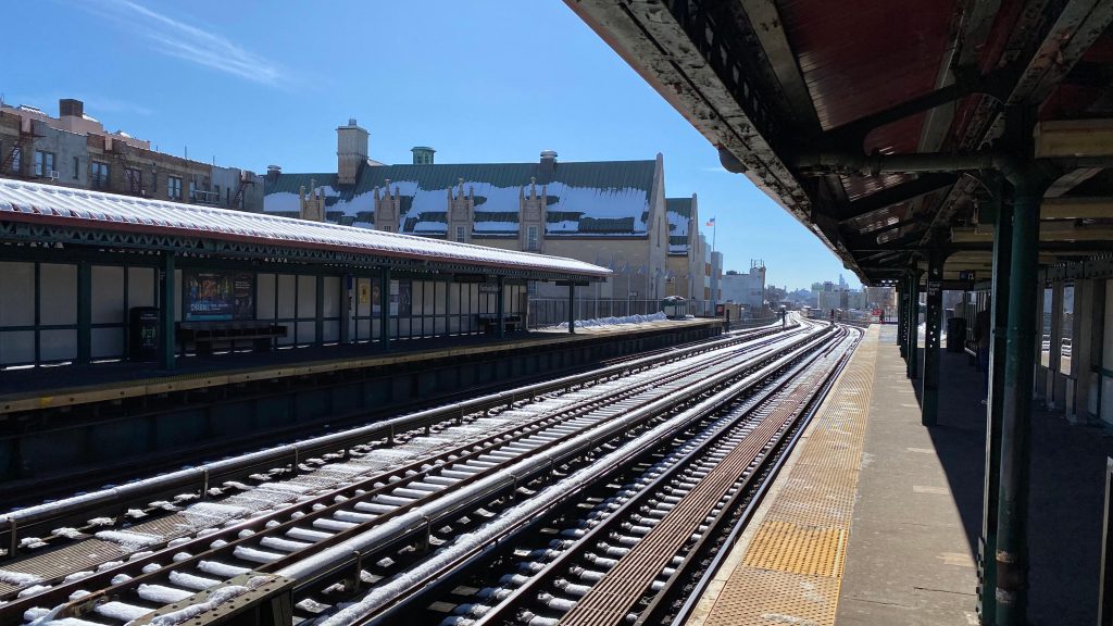
Express train!That’s a rather long tunnel…The platformThe headhouse from track levelThe interior of the headhouseThe headhouse from street level
The good: It’s in the middle of the freakin’ Bronx! It has all the amenities one would reasonably need (maybe aside from restroom? I didn’t see one…). Furthermore, it’s around a lot of shopping and is next door to Fordham University. Neat! There’s also plenty of bus connections to both Bee-Line and the MTA, and even Select Bus.
The bad: The platforms underneath the headhouse can feel a little dingy… Also, the hike to the subway stations on Grand Concourse and Jerome Ave. can be a bit annoying at times. I also didn’t notice any bus shelters for the bus connections. Boooooo.
Nearby points of interest: There’s a lot of shopping nearby, along with Fordham University! The New York Botanical Garden is also close by, however there’s a stop closer to that.
Transit connections: Metro-North (Harlem, New Haven) MTA bus (Bx9, Bx12, Bx12-SBS, Bx15, Bx17, Bx22, Bx41, Bx41-SBS) Bee-Line (60, 61, 62)
Overall, it’s a really good station in all honesty. Sure, some things could use better signage, but all things considered it’s not bad, and it’s good that I started the NYC section of this blog on a good note. 😀 I also dig the vintage headhouse interior as well.
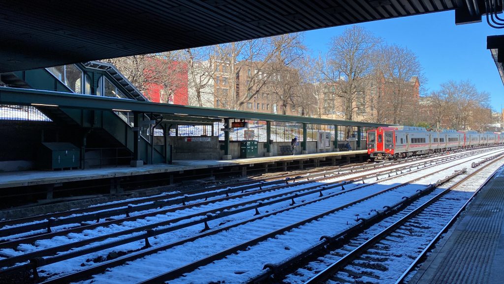
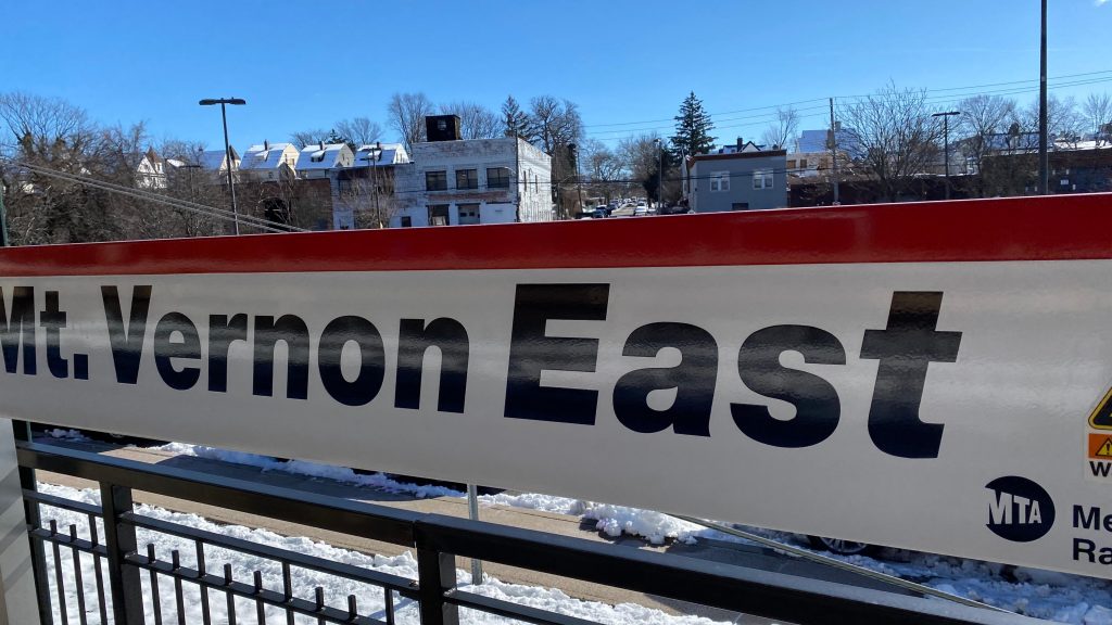
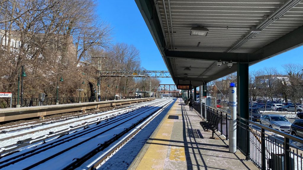
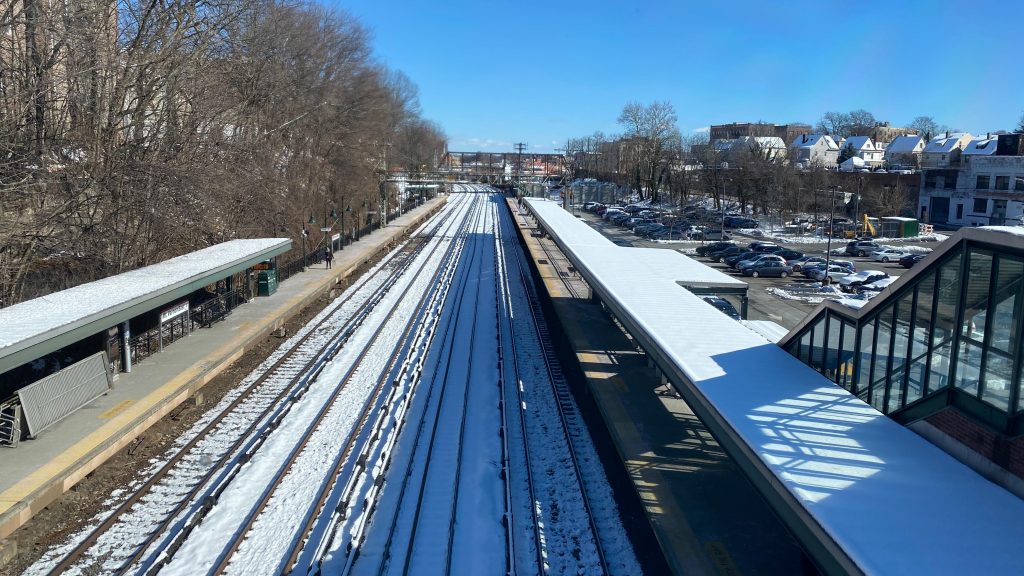
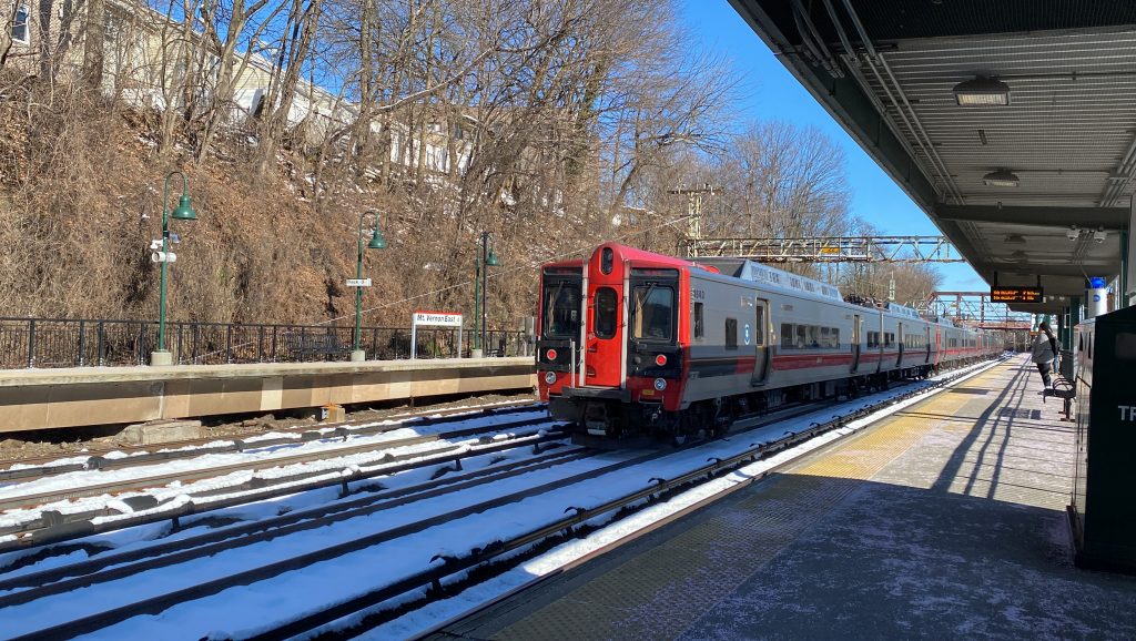
Mt. Vernon East is the last station on the New Haven Line before entering NYC proper. So, is there even anything of note here? I actually don’t know, but let’s look at it, shall we?
Station signage!
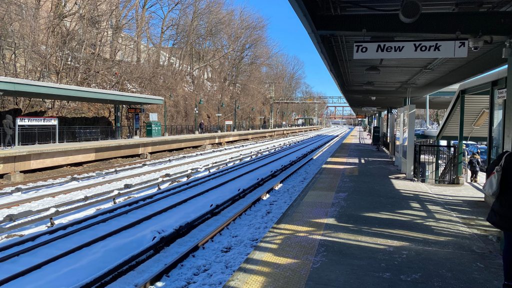
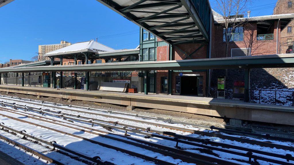
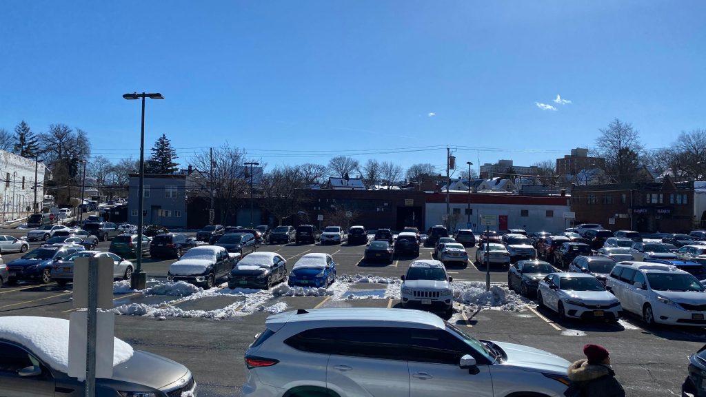
The station is your standard 4 tracks/2 sides setup with express tracks in the middle going unserved. There’s a pedestrian overpass with elevator access, but no heated waiting area. Furthermore, you have a lot of parking to go around here, and there’s even a ticket office that was closed. To the west of the station, there’s also a busway (I didn’t know it existed when I came here). Furthermore, there’s ticket machines in the aforementioned overpass. Neat. Just one annoying thing: as I was reviewing this station, I ran into a bunch of teenagers HOTBOXING the station overpass. YES, I REPEAT, THERE WERE A BUNCH OF TEENAGERS SMOKING A BIG FAT DOINK IN THE OVERPASS FILLING IT UP WITH THE FUMES OF THE DEVIL’S LETTUCE! OH DEAR GOD! AND THE SAD PART IS – THIS WAS THE ONLY PLACE ONE CAN KEEP WARM AT THE STATION!
Towards New Haven!The other side!Overpass!Platform shotParking!View from the overpass!And a view towards the Bronx!Ticketing machines!The shuttered ticket officeThe headhouseThe kiss & ride?EXPRESS!!!
The good: It’s in a pretty dense area and is right next to Mt. Vernon’s town center! While it’s not in a rich suburban area like Mamaroneck or Harrison, it’s still in a pretty major center for activity. Bus connections are also close by!
The bad: THE PEDESTRIAN OVERPASS IS THE ONLY PLACE TO STAY WARM ON A COLD DAY, AND A BUNCH OF FUCKING TEENAGERS WERE HOTBOXING THE DAMN THING. OH GOD….
Nearby points of interest: Mt. Vernon’s town center is next to here. There’s also an industrial area and suburbia nearby too.
Transit connections: Metro-North (New Haven) Bee-Line (7, 41, 43, 53, 54, 55 at East Prospect & North 3rd Ave.’s)
Overall, it’s an alright station. However, admittedly, I’m biased against the station because it was too windy and there was nowhere to stay warm when I did this station review. Sorry! On the upside, I kinda want to explore Mt. Vernon some more.
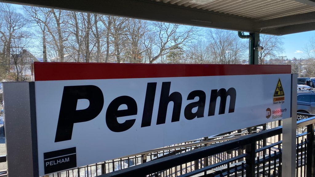
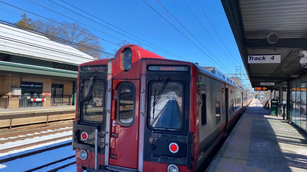
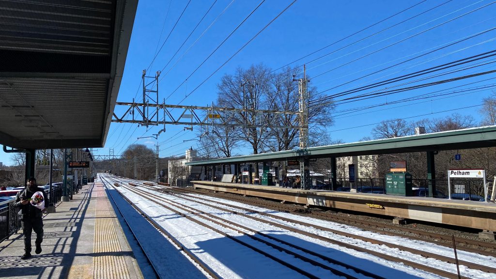
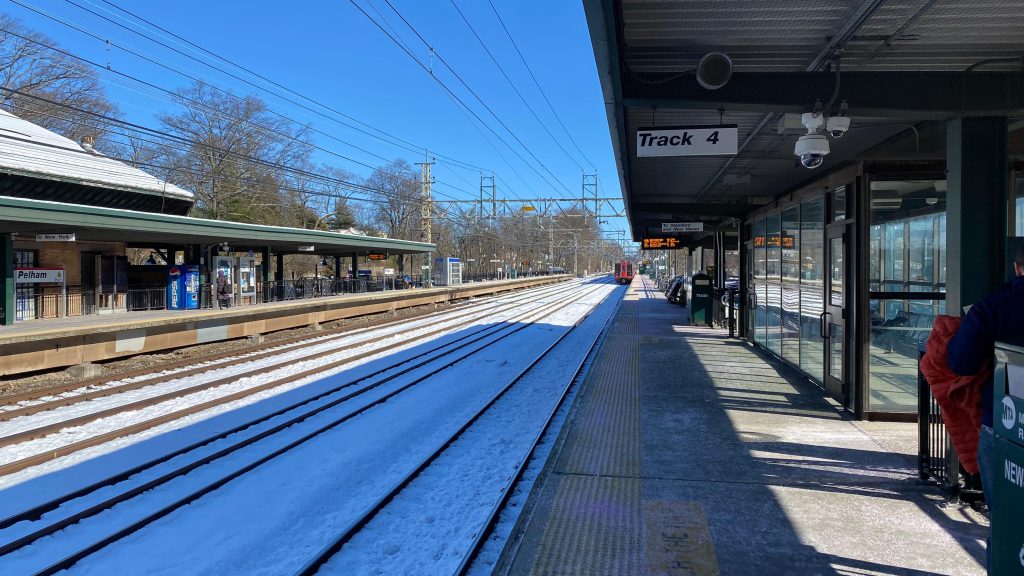
Pelham is a station in the namesake village in Westchester County, New York. The station itself is located in suburban sprawl and is largely unassuming. However, there’s something a little special here though…
Station signage!
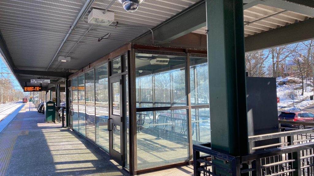
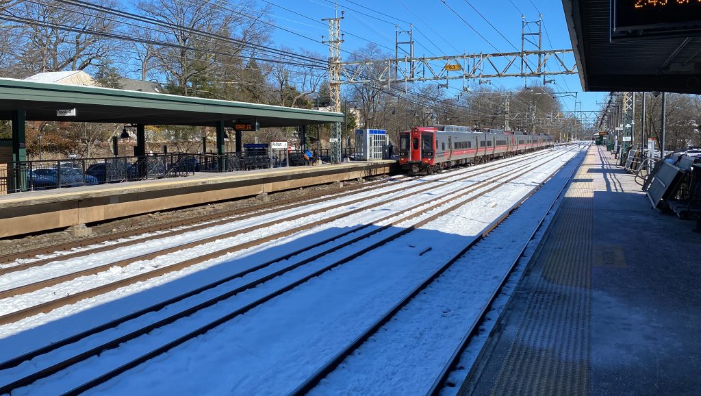
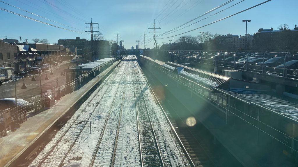
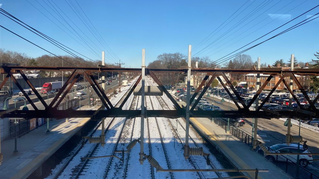
So, the station itself is pretty bogstandard at face value. You have heated waiting areas outside, benches, wastebaskets, a tunnel to change sides, and a shuttered station house. Much like the rest of the New Haven Line, there’s also plenty of parking to go around. Unfortunately, though, it’s only partly accessible. Pelham itself is also pretty suburban, so sadly it doesn’t really stand out that much either. However, for railfanning, there IS something that stands out. So, Metro-North uses both third rail and overhead catenary for electrification on the New Haven Line. Where does the change-over happen? Well, it actually happens in the Pelham area. Or, rather, the change-over happens anywhere between Mt. Vernon (where the catenary begins) and the curve approaching New Rochelle (about as far as a train can coast without power).
An M8The catenary AND, if you look carefully, you might also see third rail!See ya!Heated waiting area!Southbound train!Parking!Tunnel!Slightly less sketch than Larchmont!Station headhouse!Pelhamwood Ave.!Some green space!Bee-Line!
The good: It’s a cool spot to railfan with Metro-North changing power sources here! Furthermore, it’s a decently sized park & ride station and there’s some shopping and restaurants nearby.
The bad: There isn’t as much as around the rest of the New Haven Line stations in New York. Yeah, sorry! It also isn’t fully accessible. 🙁
Nearby points of interest: There’s a 9/11 memorial nearby! Yeah, sorry, not a lot here.
Transit connections: Metro-North (New Haven) Bee-Line (53)
Overall, I just don’t have anything special to remark. Yeah, sorry. 🙁 But at least you can railfan a power change!
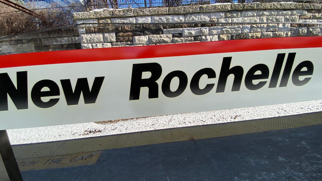
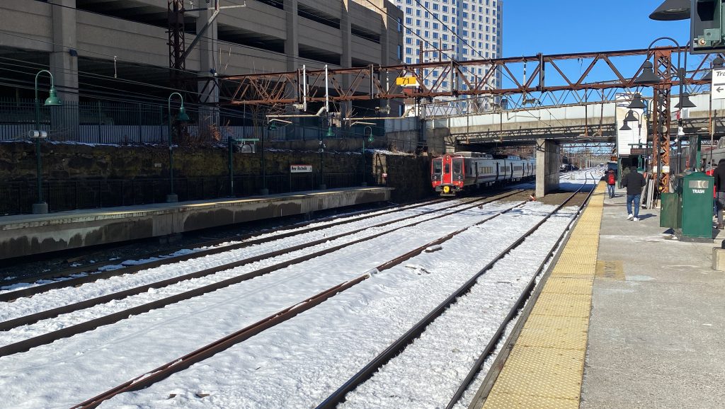
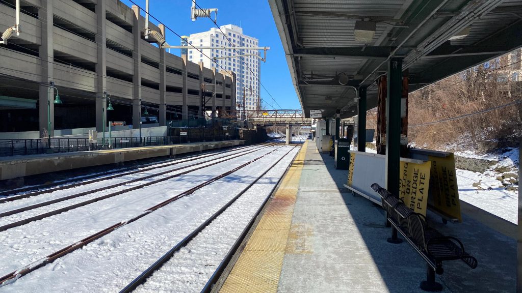
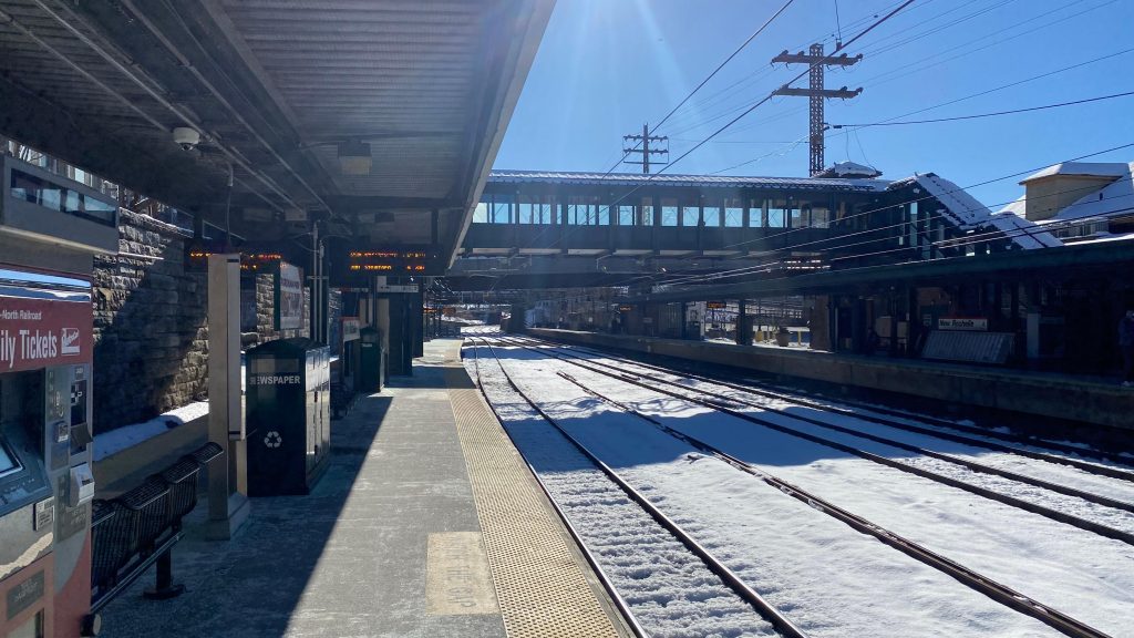
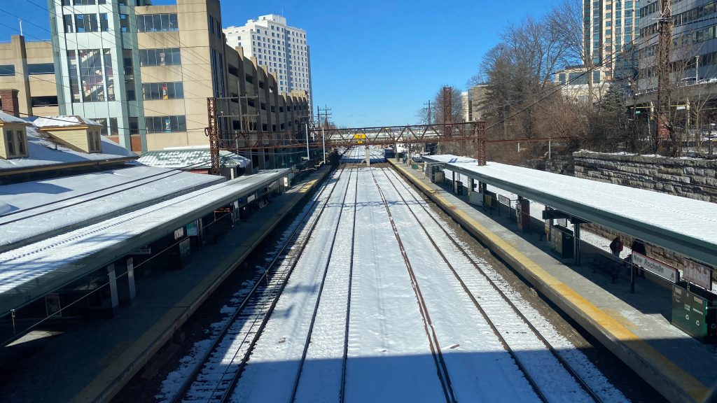
New Rochelle is one of the busiest stations on Metro-North’s New Haven Line between the city limits and Stamford (this, of course, excludes Stamford, Fordham, Harlem-125th, and Grand Central). Also at the station can be found the bus terminal for Bee-Line and other things. Let’s look at it.
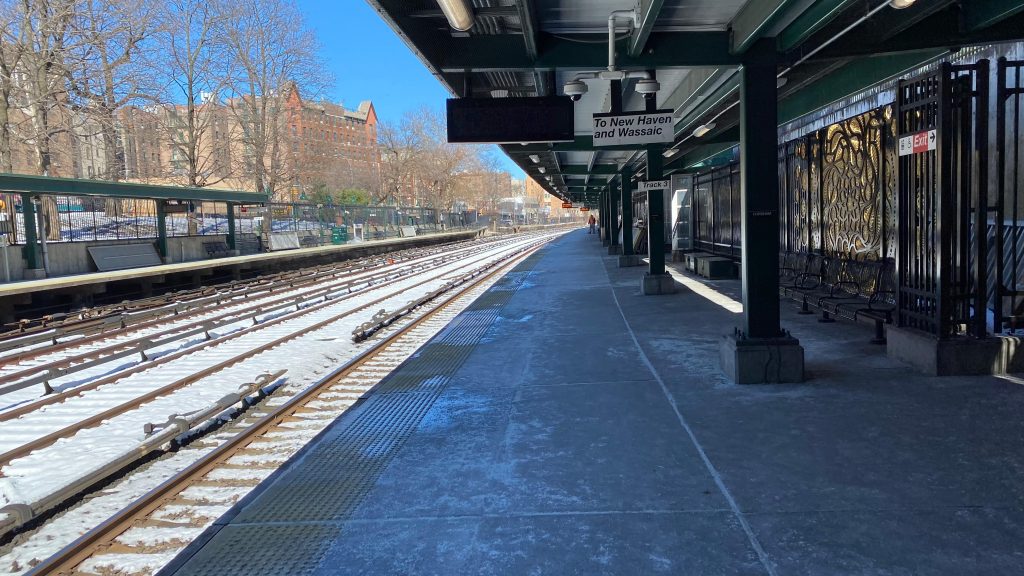
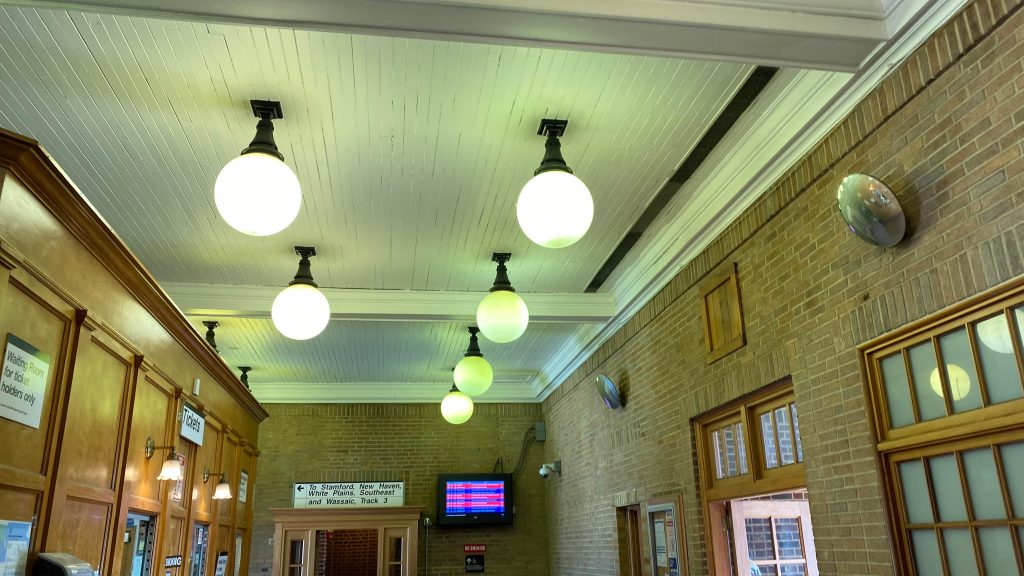
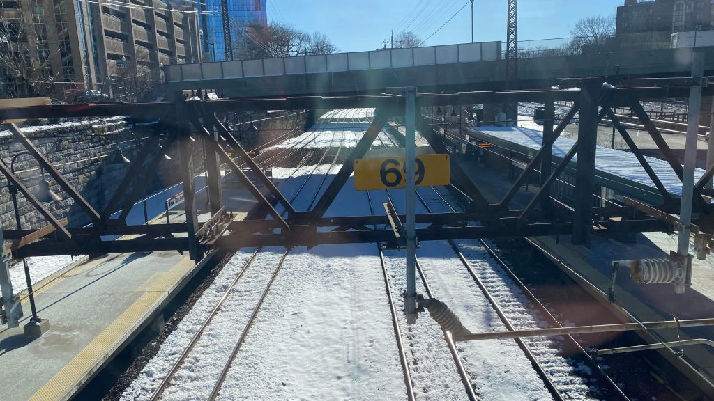
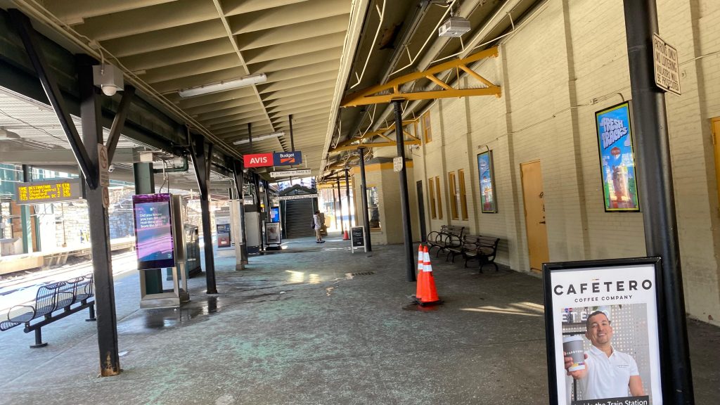
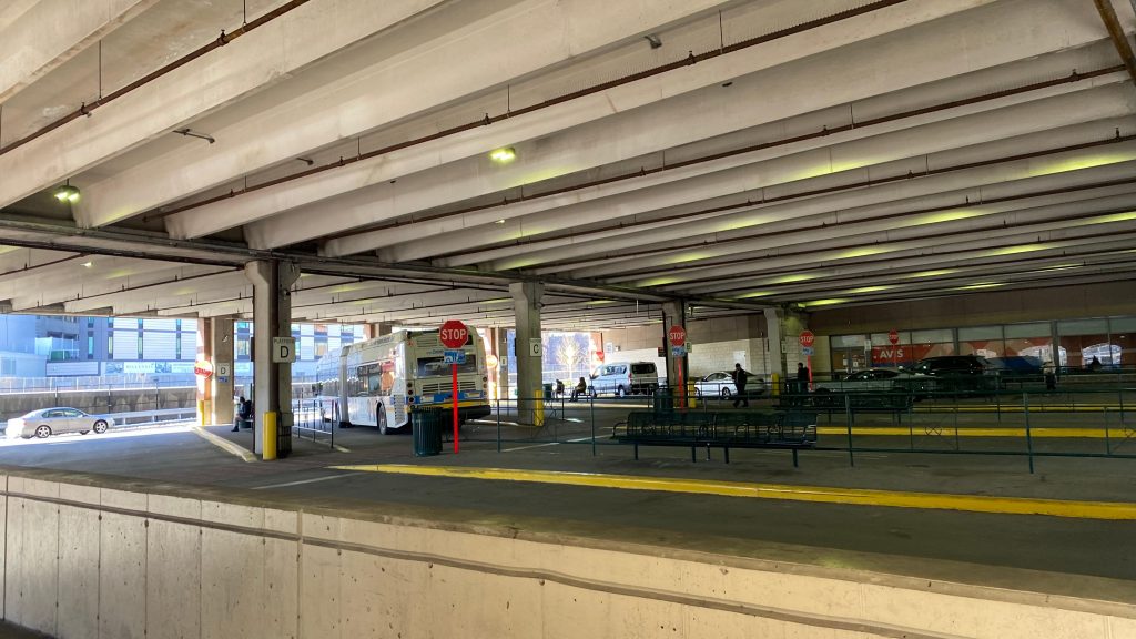
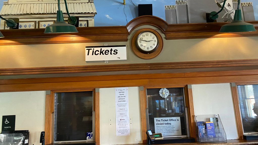
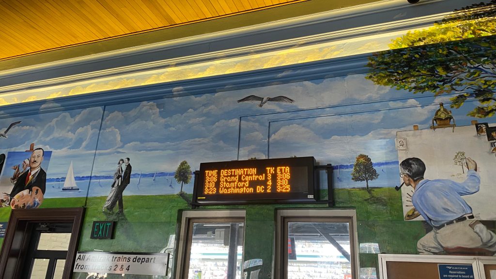
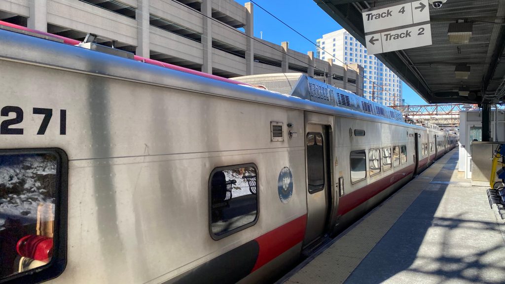
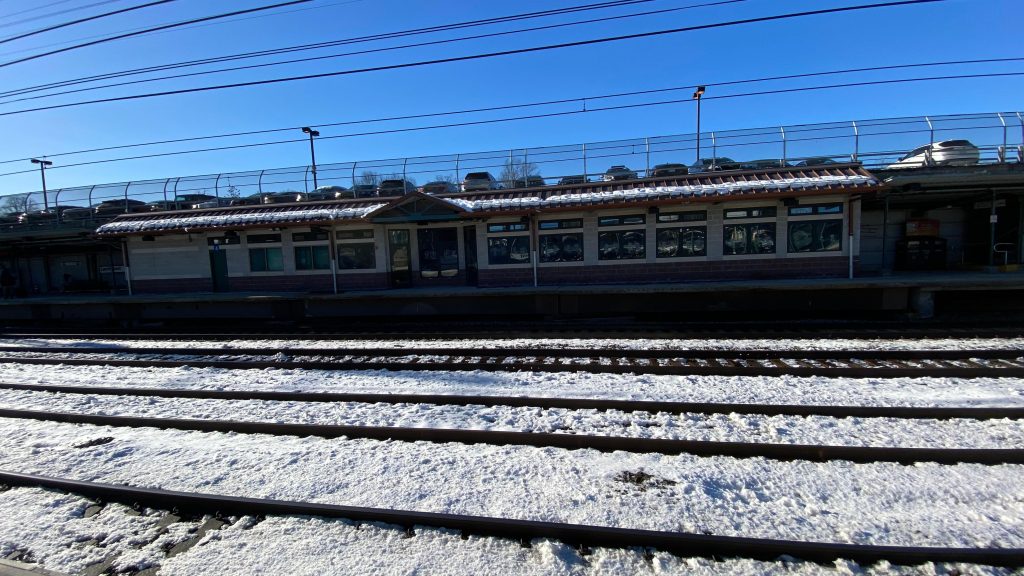
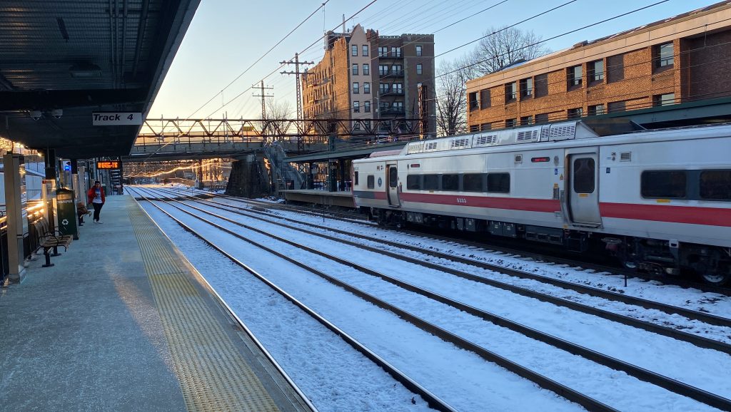
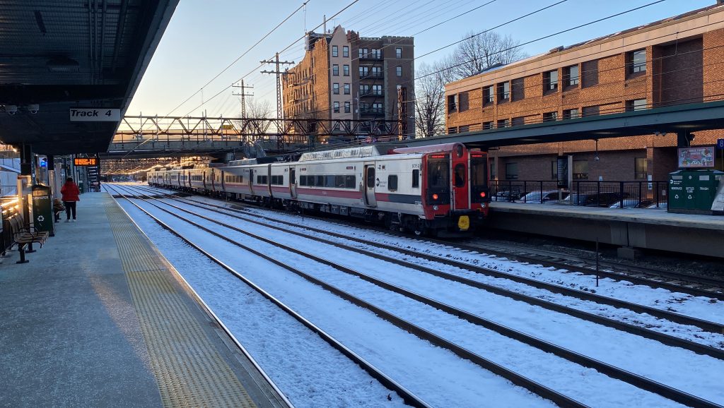
So, New Rochelle is honestly a nice little station. The station house looks unique in the middle of a mini-downtown with high rises and whatnot, for one. The station layout is also unique because of how the interlockings are set up. For context on this, the Northeast Corridor splits off from the line to Grand Central just past here, and the way the interlocking is set up only allows for NEC trains to cross over before the station. The platforms are pretty normal, with departure boards lining them. You also have heated waiting areas – and the station building is OPEN! Sweet! Going inside, you have MTA transit police and a ticket office, the Quik-Trak machine, and a cafe. There’s even some artwork lining the walls and a departure board. Neat! I actually ordered some food here and it’s alright, for what it is. You also have an overpass, which harbors an entrance, and the New Rochelle Transportation Center. This has a busway for Bee-Line buses, a parking garage, and a car rental facility. Why the fuck is there even a car rental facility? I don’t know, but whatever. Moving right along!
An M8!Towards StamfordTowards the splitHeh, nice…Overpass shot!Elevator shot!The sheltered area on track 3The New Rochelle Transit Center!And another shot of the busway!The ticket office!The departure board and some art!An M8!A pair of M8sOnwards!Now THIS is a vibe!
The good: The station’s just so charming, being a small station headhouse in the middle of an urban center. Furthermore, even the inside is charming with the artwork being painted on the walls and AAAAAAAA IT’S JUST SO AMAZING. The platforms are also serviceable with the heated waiting areas in the cold, too. Amtrak boarding is also clearly signed, always being tracks 2 and 4. On top of all this, there’s also plenty of parking and even rental scooters from what I was told (though I didn’t see any. Thanks, David, for telling me about this!).
The bad: I can’t help but feel it’s out of place somewhat. Also, it’s up against I-95, though that’s less of an issue here. The busway also feels dingy due to being in a parking garage, so there’s that…
Nearby points of interest: Downtown New Rochelle is close by! Furthermore, you have Bee-Line buses.
Overall, I really find this station to be quite charming and a nice place to railfan, and quite truthfully I kinda want to come back and explore New Rochelle further in the future and check out Bee-Line Bus.
Oh fuck, not this again. WAHT? I CAN’T HEAR YOU OVER THE WHIRRING OF THE CARS ON I-95!!! WHELP, GUESS I’LL HAVE TO YELL IN THIS LIKE I HAD TO WITH FREAKIN’ NEWTONVILLE. ANYWAYS, HERE WE GO. HOPEFULLY I DON’T RUN MY MOUTH DRY OR INHALE TOO MANY GASOLINE FUMES!
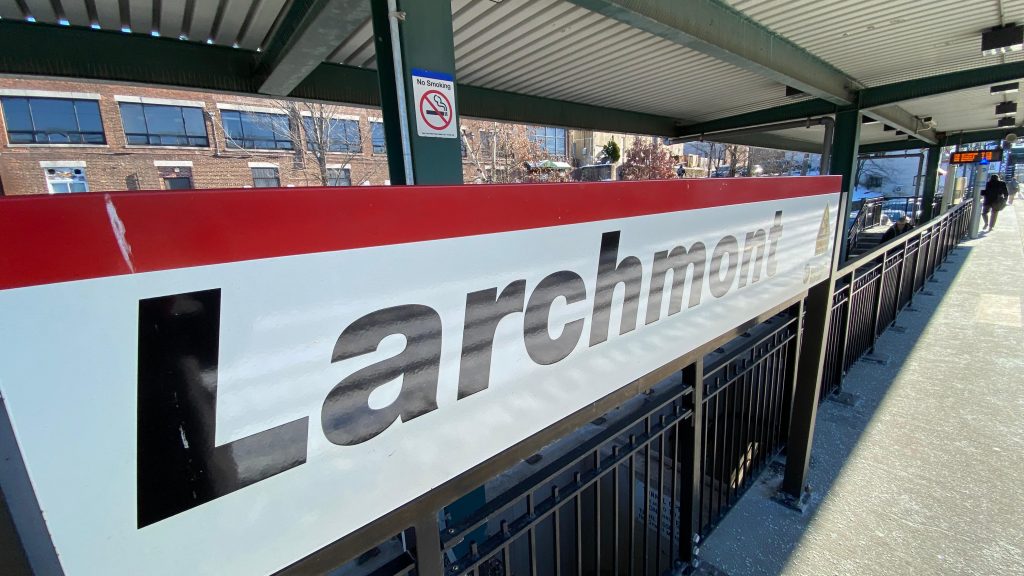
THE DAMN STATION SIGNAGE
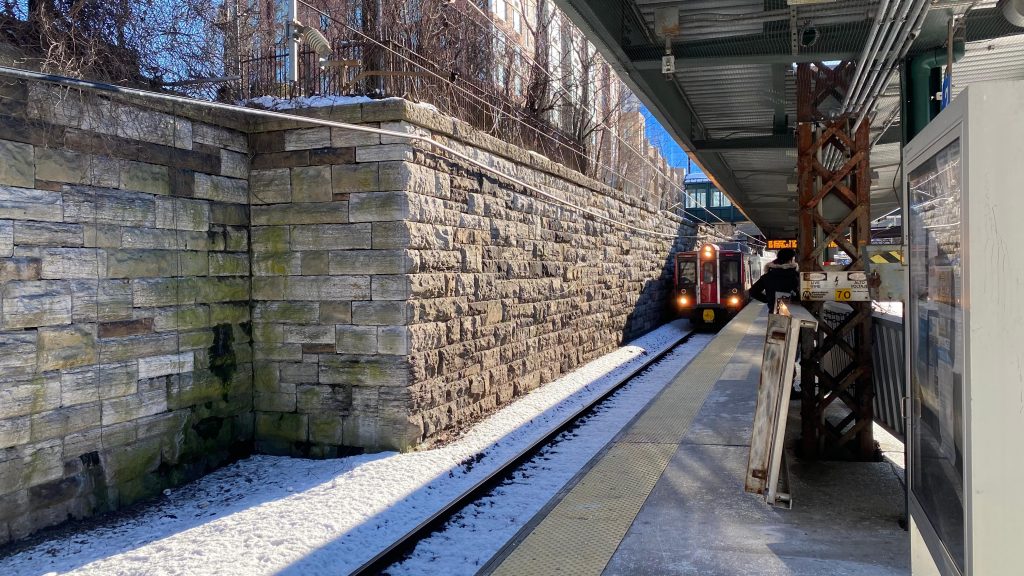
SO, LARCHMONT IS RIGHT NEXT TO I-95, IN FACT I’D ARGUE IT’S CLOSER TO I-95 THAN THE MASS PIKE IS TO NEWTONVILLE. IT’S SO CLOSE THAT THE STATION PARKING LITERALLY HAS TO REST ATOP THE EXPRESSWAY. ANYWAYS, WHAT IS HERE? WELL, NOT MUCH ACTUALLY. A WHOLE LOTTA SHOPPING BUT IT’S THE ASS SIDE OF SAID BUILDINGS AS THERE’S OOPS! ALL PARKING! YOU ALSO HAVE SOME STUFF LINING PALMER AVE. AND WHATNOT. THERE’S ALSO SOME GREENSPACES NEARBY. NEAT! AS FOR THE OTHER SIDE, YOU HAVE A TUNNEL GOING ALL THE WAY TO THE OTHER SIDE OF I-95 AND A TICKET OFFICE. LET’S CHECK IT OUT!
*enters ticket office, is quieter*
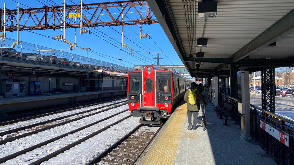
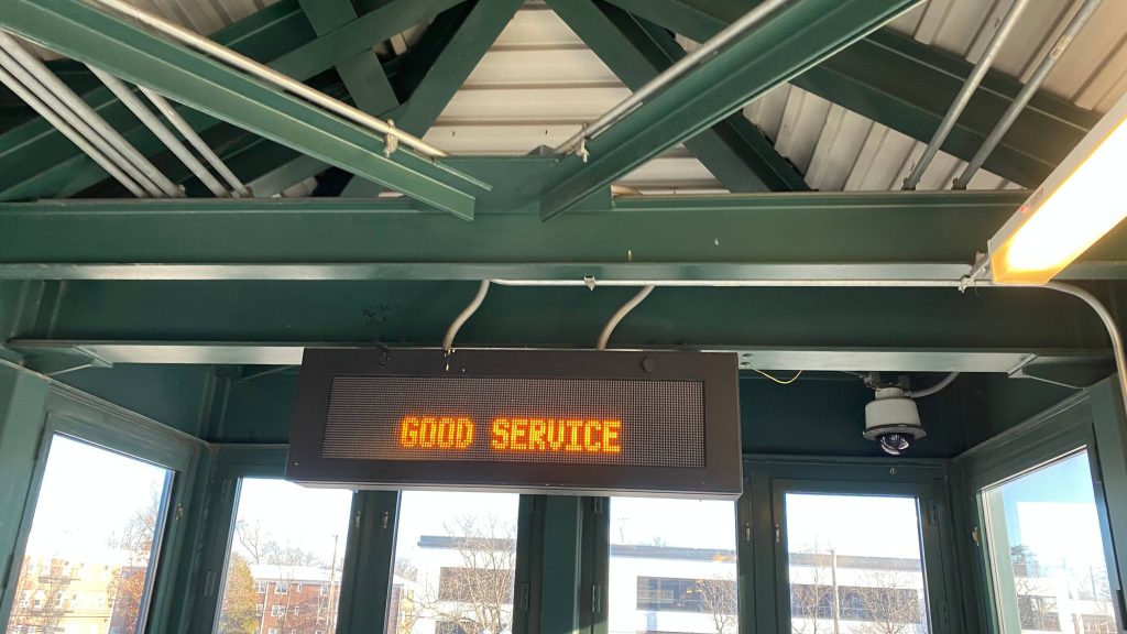
Okay, I can actually talk at a reasonable volume here! So, the ticket office is small but surprisingly it’s unlocked. There’s also some seats in here as well, and overpasses. Good Service? What the hell is that supposed to mean? Oh well.
SEE YA!LOOKING TOWARDS PENN STA.-NEW YORKAND TOWARDS STAMFORD AND NEW HAVENLOTS AND LOTS OF PARKING AND THE ASS SIDE OF BUSINESSES!THIS IS KINDA SKETCHYOH MYTHE OTHER SIDEYEH, VERY DINGY!LOOKING FROM THE PENN/GRAND CENTRAL PLATFORMI SPY A HEATED WAITING AREAThe ticketed waiting room. Surprisingly, was unlocked!Even when closed, you can smell the cafe!Overpass shot!Bleh.The overpass and an exit to parkingGOOD SERVICE? The fuck does that mean?!OH JOY, THE TICKET OFFICE FROM AFARNEXT TO ARRIVE ON TRACK FOUR!M8!
The good: IT’S NEXT TO THE TOWN CENTER, KINDA! THAT’S KINDA EASY THOUGH WHEN THE ENTIRE DAMN TOWN IS SUBURBAN SPRAWL OTHERWISE. THE TICKET OFFICE IS UNLOCKED DURING OFFPEAK HOURS TOO!
The bad: IT’S FUCKING NEXT TO I-95 AND YOU CAN’T HEAR A DAMN THING!
Nearby points of interest: THE TOWN CENTER AND SOME GREEN SPACES. NOT A LOT ELSE, REALLY.
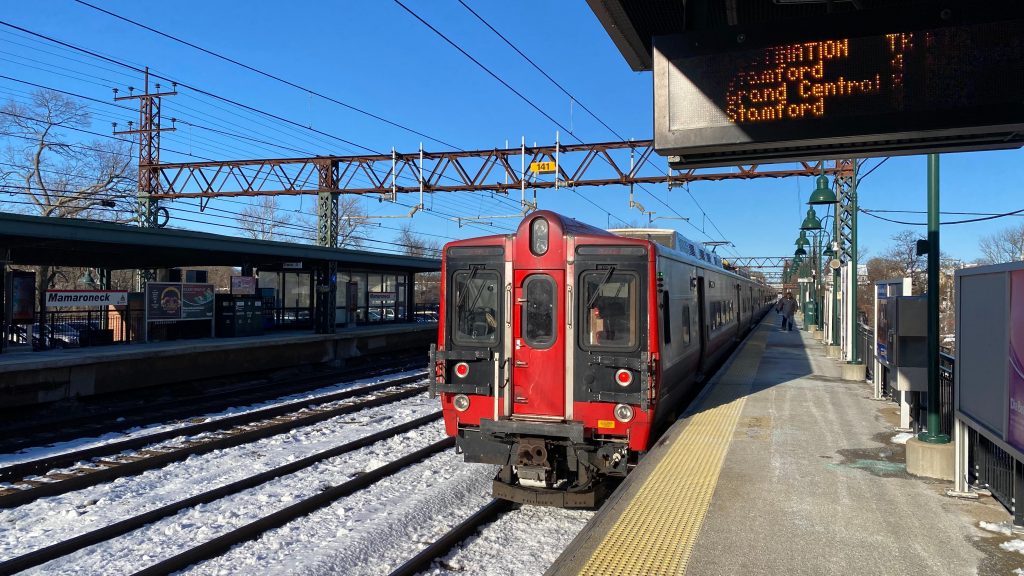
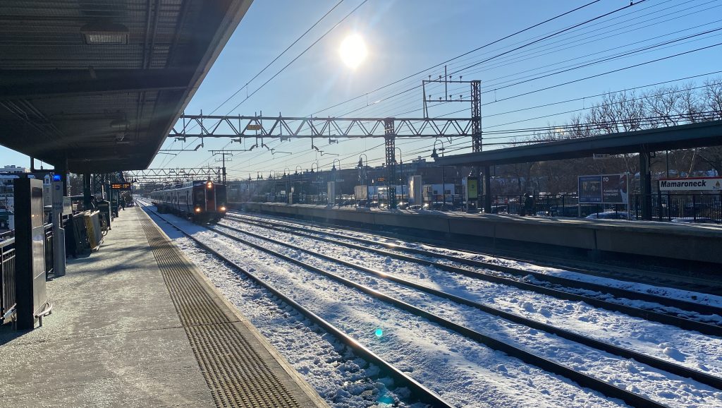
Next stop on the line is Mamaroneck! Now, this one is pretty popular for Amtrak and Metro-North railfanning because this and Larchmont are on the fastest stretch of track between New Haven and New Rochelle (where the lines split), with speeds up to 80 miles an hour. So, let’s look at this station, shall we?
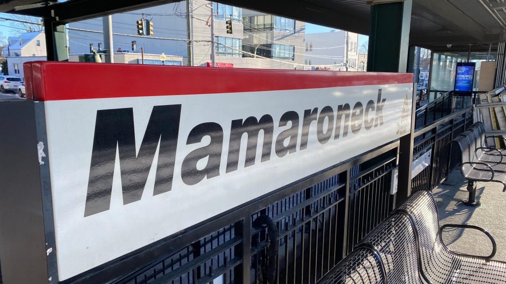
Signage!
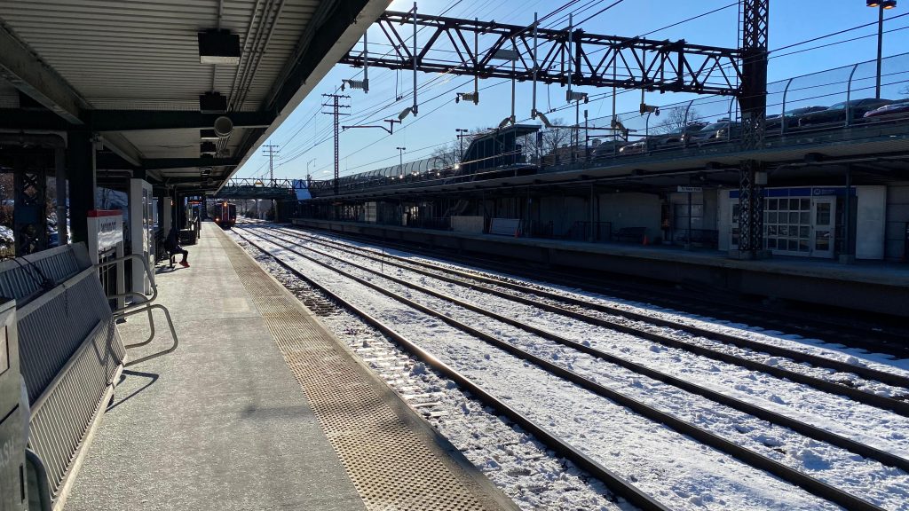
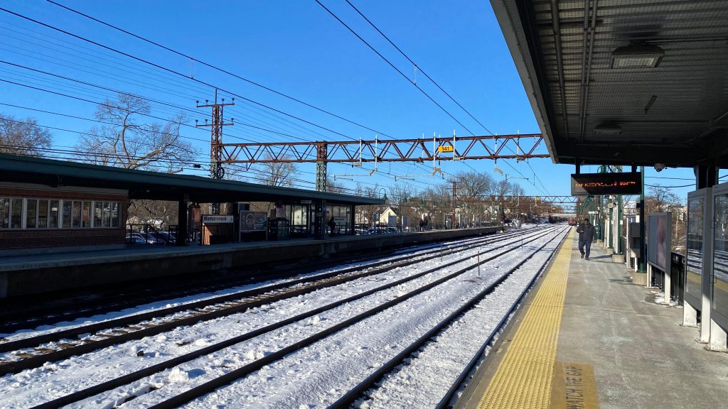
The northbound platform is the usual, has seating and sheltered waiting areas, but nothing special. The southbound platform, however, has a ticket office – AND IT WAS OPEN! Well, more like a ticket room with vending machines but hey, it counts! Furthermore, there’s a tunnel connecting the two sides and, I think, the Italian restaurant that sits in the old station headhouse. I haven’t had the chance to try it myself personally, but I heard it’s good. Furthermore, the station is in a decent enough area as well with a decent walkshed. Neat!
See ya!Towards Stamford!The local streetsWHY THE FUCK ARE THERE SHOPPING CARTS HERE?!The tunnel to the other side and the restaurantThe ticket office and parkingInside the ticket “office”Express!
The good: It’s in a walkable area and there’s an open ticket office! Neat! Furthermore, there’s a restaurant in the old headhouse as well. Aside from that, it’s pretty normal.
The bad: The tunnel feels a little dingy, not gonna lie…
Nearby points of interest: There’s a park nearby and shopping along Mamaroneck Ave.! There’s also a beach somewhat close by.
Transit connections: Metro-North (New Haven) Bee-Line (60, 61)
Overall, it’s an alright station. The area itself is nice, and it’s worth railfanning here during the warmer season. However, the tunnel feels kinda dingy though…
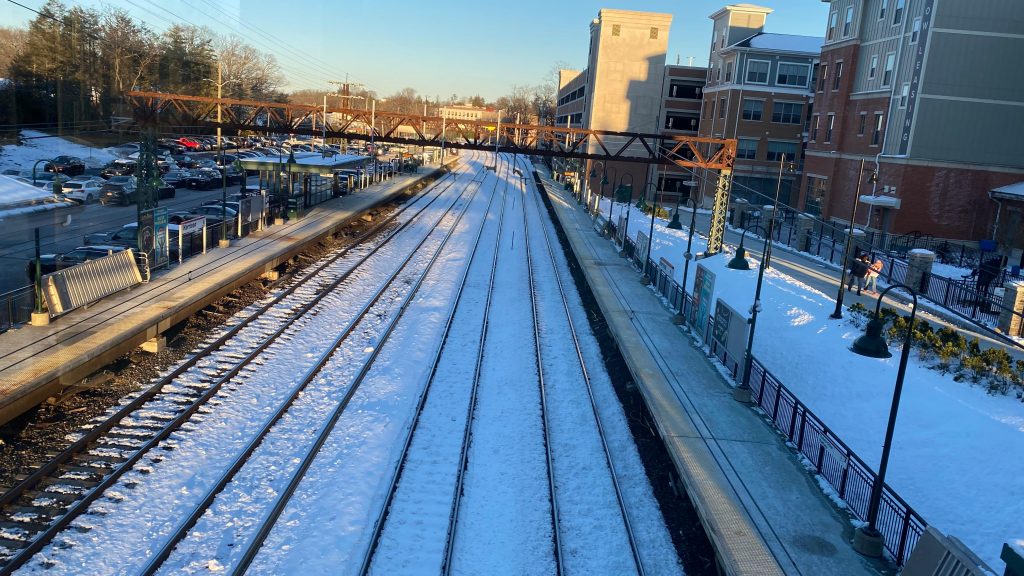
Next stop is Harrison! So, like Rye, the walkshed around here is pretty decent, but it’s even better in that you have some TOD as well. Neat! Let’s take a look, shall we?
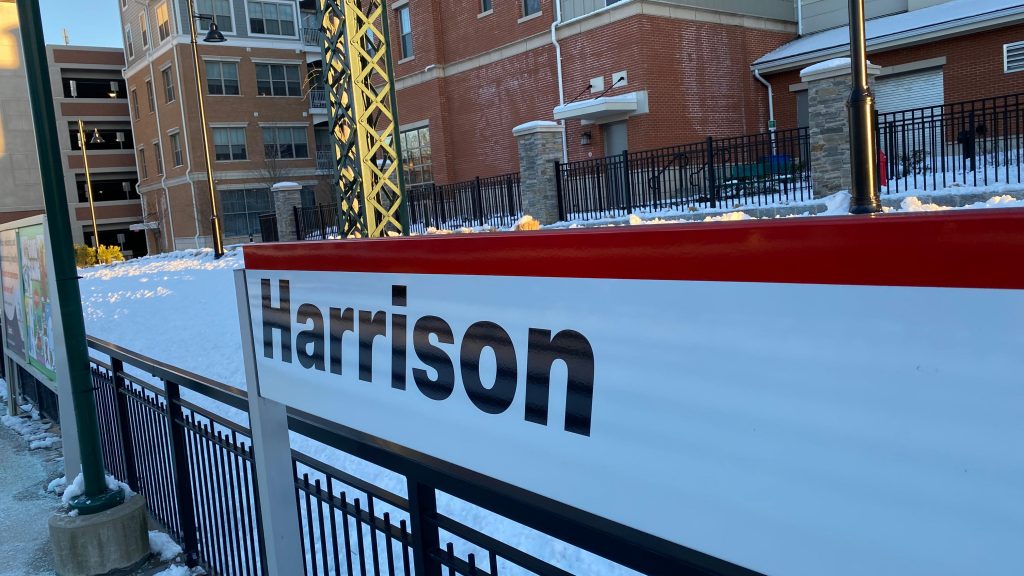
Station sign!A more normal sign
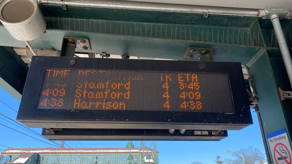
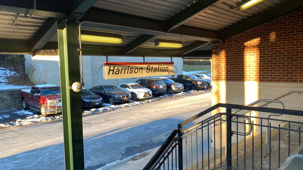
So, the station is located in the main population center of Harrison, adjacent to the town center and some TOD. There’s a ticket office on the inbound platform, however I didn’t notice if it was open or not. The platforms are still your standard affair with an overpass, parking, elevators, and so on. At the point of me doing this, it was beginning to reach the PM peak and I had to make haste before any weirdness in the timetables kicked in (& peak fares! Yikes!), so I wasn’t here TOO long. However, bus connections are found on Halstead Ave. and NY-127, and plenty of parking can be found. The overpass also serves as an entrance as well. Neat! All things considered, it’s normal.
The evening winter sunLooking towards Stamford & BostonThe overpass and an exitOverpass shot!And the other way!Some TOD?The ticket office. I wasn’t sure if it was open or not.An M8Bye!
The good: It has some TOD! Furthermore, there’s plenty of parking and Bee-Line connections! On top of all that, the area is relatively walkable as well! Nice! There’s also nearby green spaces and even the town clerk’s office adjacent to the station as well.
The bad: Eh, it’s about average. There’s nothing wrong that stands out, but the biggest issue boils to the trains terminating here can sometimes create gaps in the timetable that can be annoying to work around if heading north during the PM peak.
Nearby points of interest: The town center looks interesting! Furthermore, you can get to Yonkers from here by bus!
Transit connections: Metro North (New Haven) Bee-Line (5, 61)
Overall, it’s an okay station. It’s average at everything, it works, but nothing really makes it stand out too much. There’s TOD though!