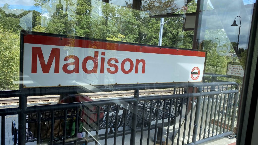
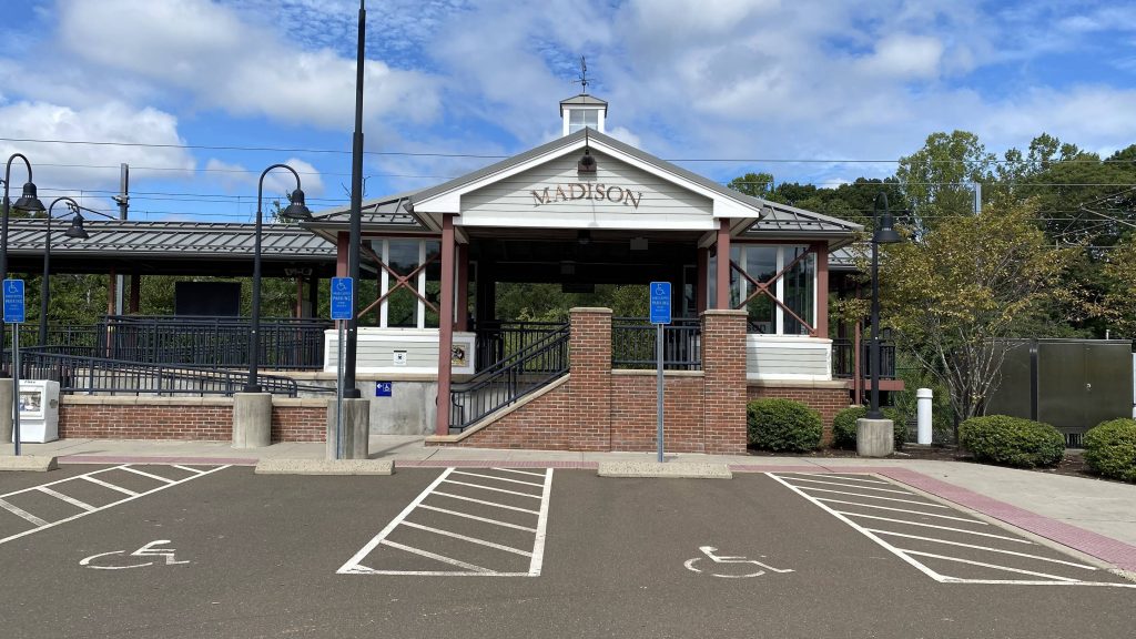
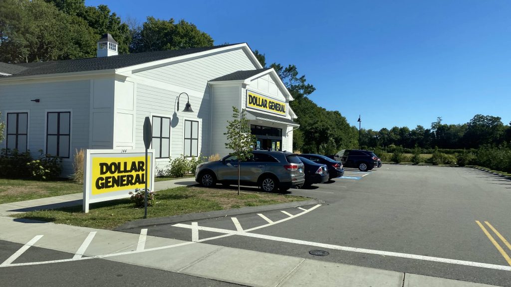
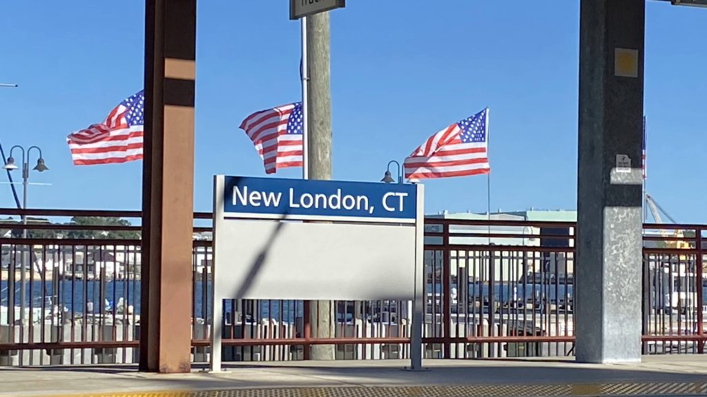
I don’t know the typeface, but it’s not Helvetica Bold.
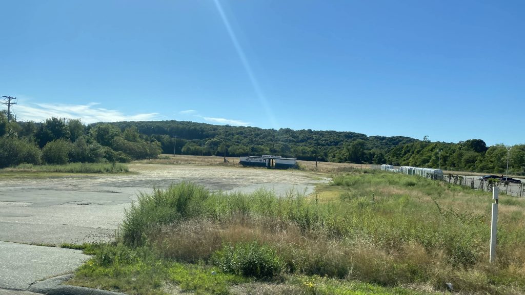
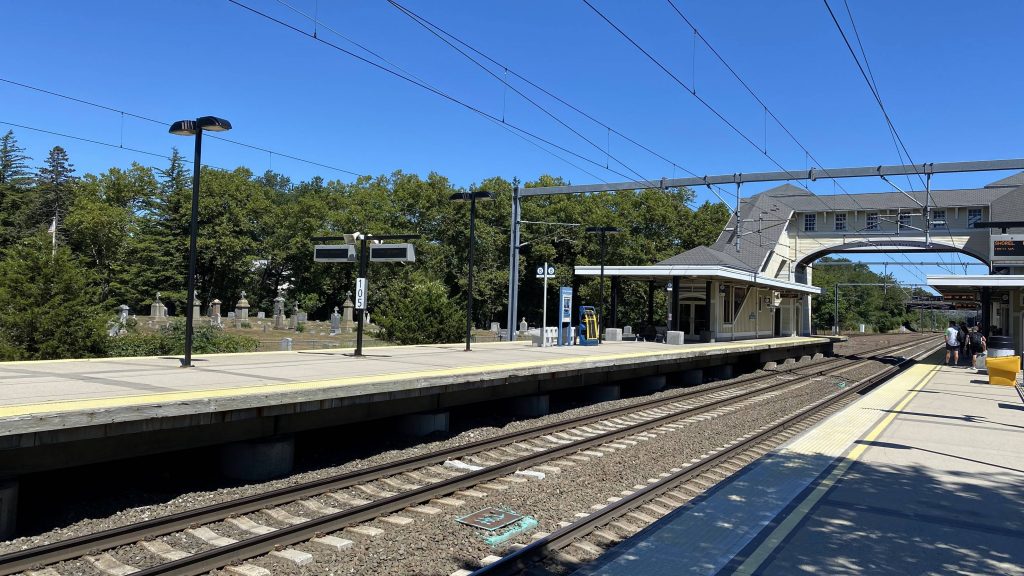
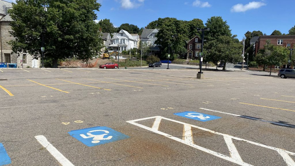
Alrighty, so Madison isn’t much. You have a big parking lot, presumably intended for a park & ride. Needless to say, parking was plenty and the lot was about half-full. That’s normal. What isn’t normal, however, is the platform.
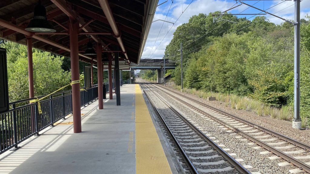
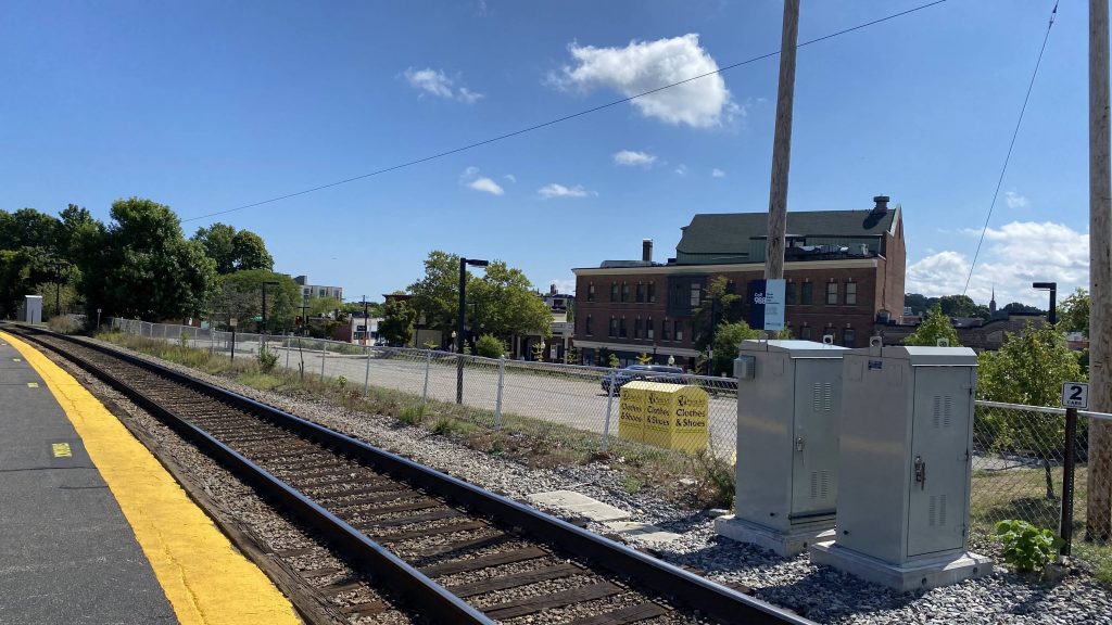
No second platform?!
Yup. It’s just a singular side platform. This means not every run of the SLE can stop here. So, how does scheduling work? Well, in the morning rush hour period, trains are ran only westbound, while all other times have eastbound-only trains stopping here.
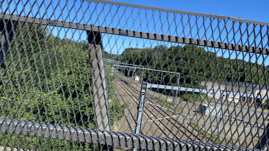
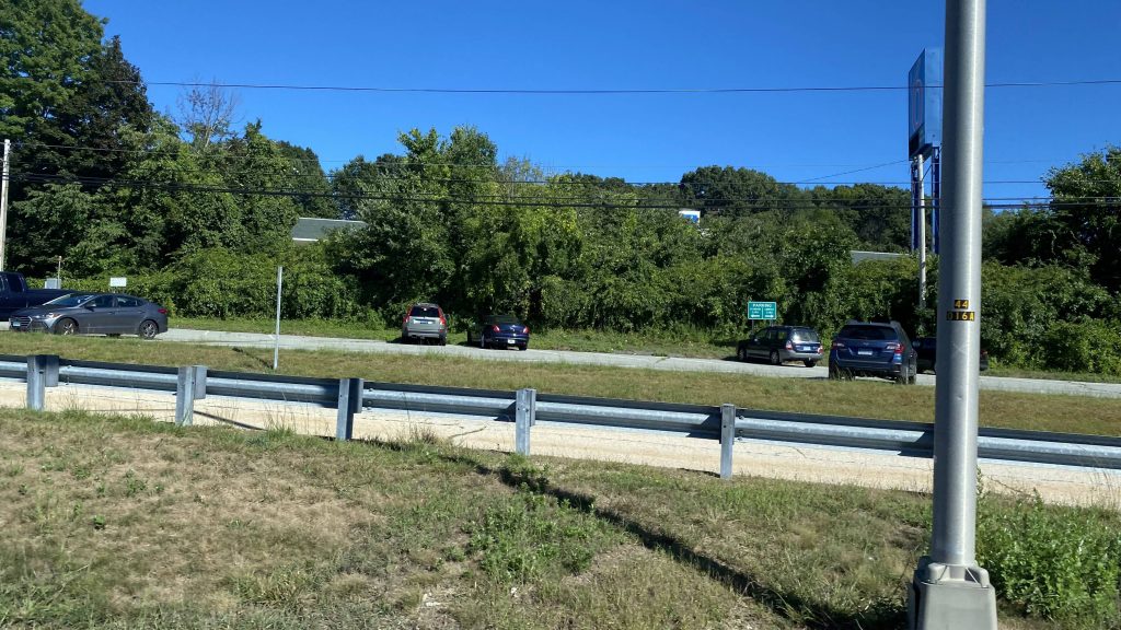
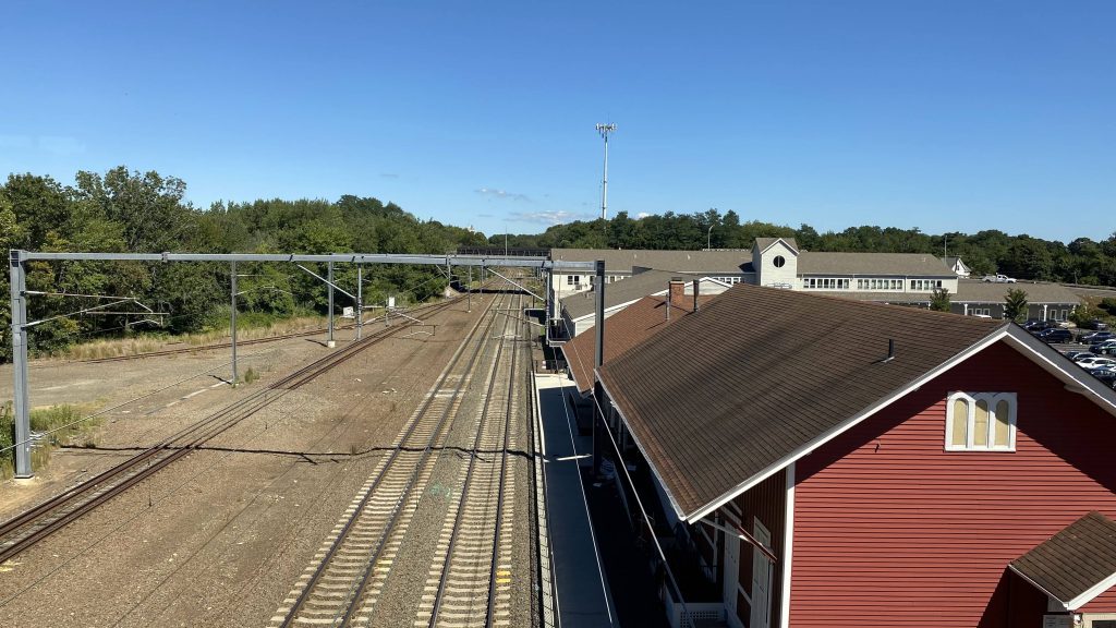
Empty track looking towards Old Saybrook and New London
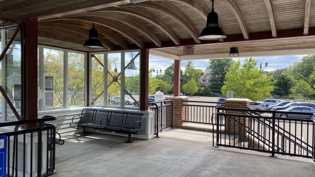
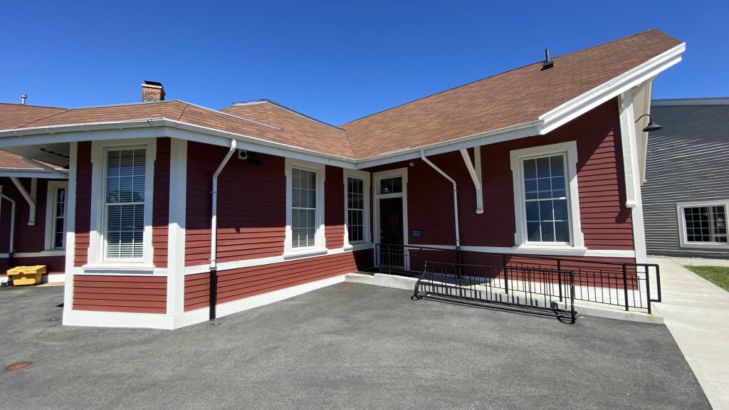
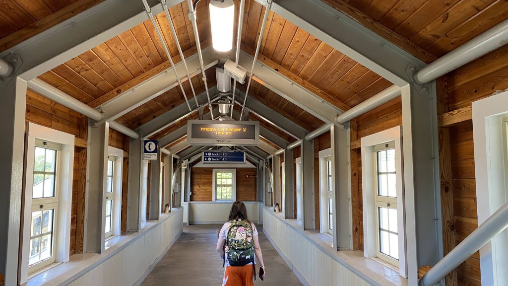
The station is pretty much fully sheltered, with a facade of a station building. However, it’s not a building, but there are benches and some partly enclosed space.
The “building”And outside!
Fortunately, there are benches and wastebins, so there’s some amenities. However, is it enough to save the lack of a second platform? No.
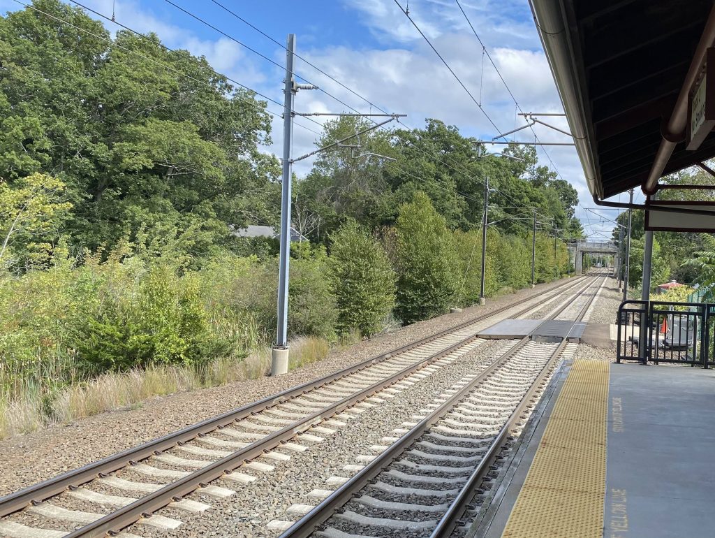
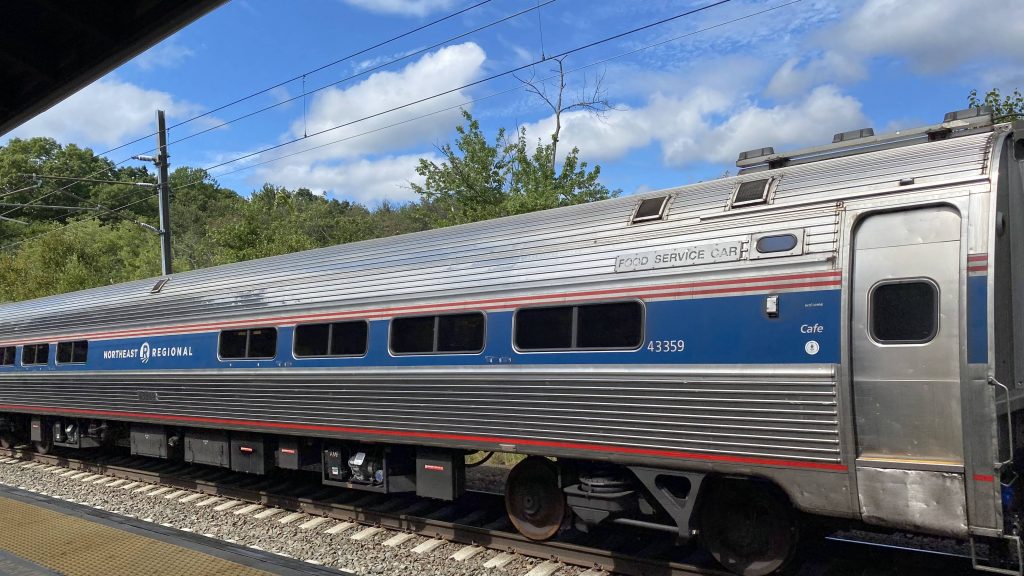
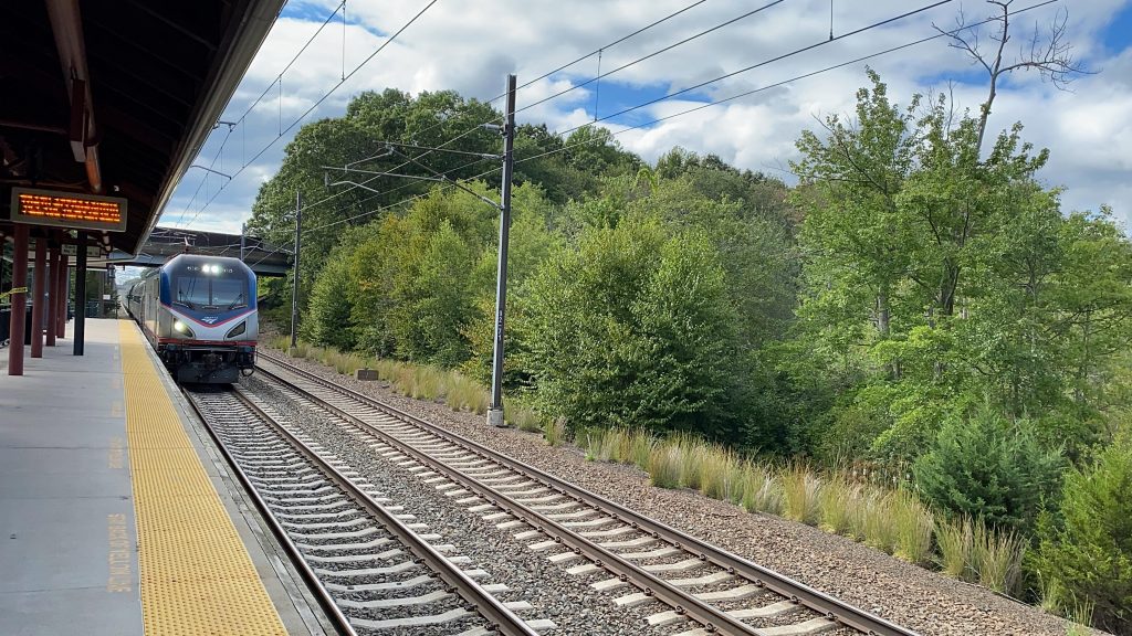
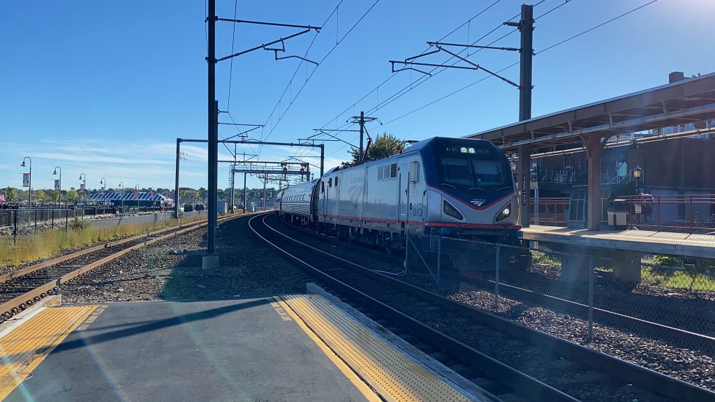
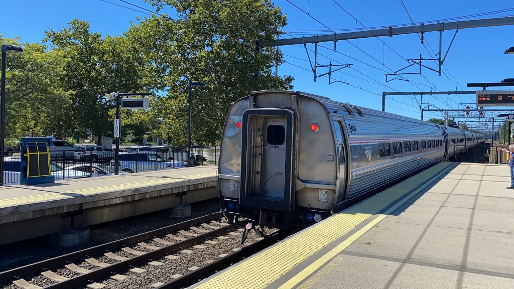
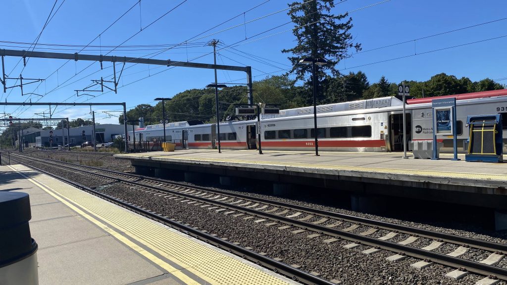
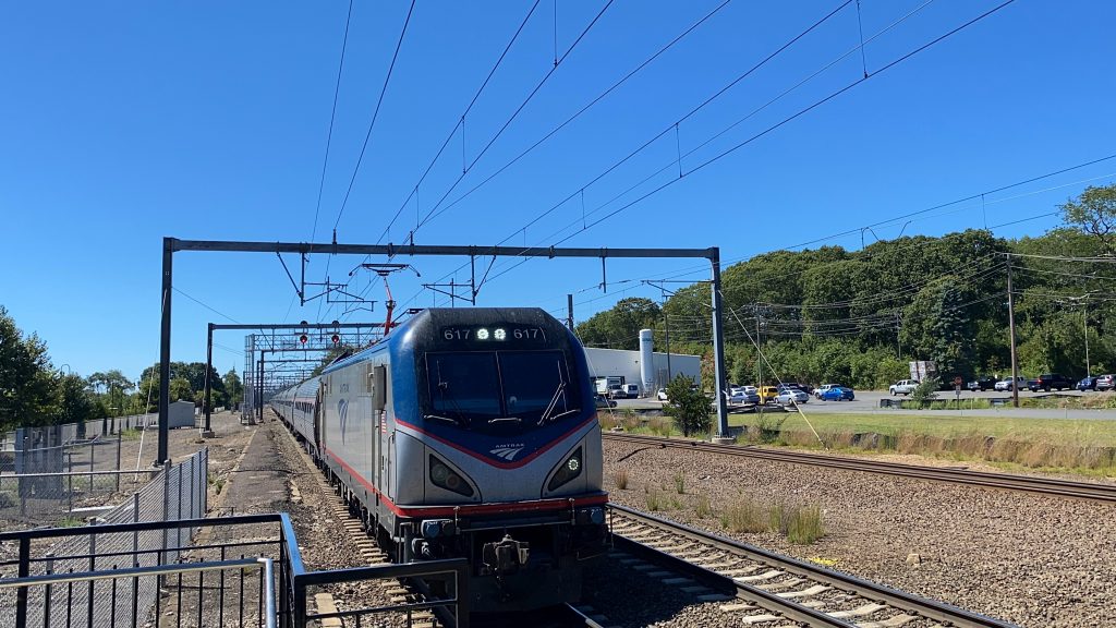
A Regional flying through
The good: It’s a park & ride off the interstate! It’s also fairly close to Madison’s town center, which seems like a nice place.
The bad: NO, NO, NO! WHY IS THERE ONLY ONE PLATFORM?! The single platform not only greatly hinders the Shore Line East’s service here, but also the Regional and Acela heading either way! Just, AUGH! No, just no! If there was a platform, this station could’ve scraped by with a 6, but NO!
Nearby points of interest: Madison’s town center! I’m not too familiar with the area, but it seems like a pretty nice place to relax and unwind.
Transit connections: CTrail (Shore Line East) CTtransit (201) 9 Town Transit (641)
Overall, why? I think it’s the least-used SLE station, given it’s the only one that’s still single platform. However, a “least used” station still deserves at least two platforms, one for each direction. And if it doesn’t have that, it’s kinda a bad station. Sorry, Madison, but you deserve better.
Rating: 4/10
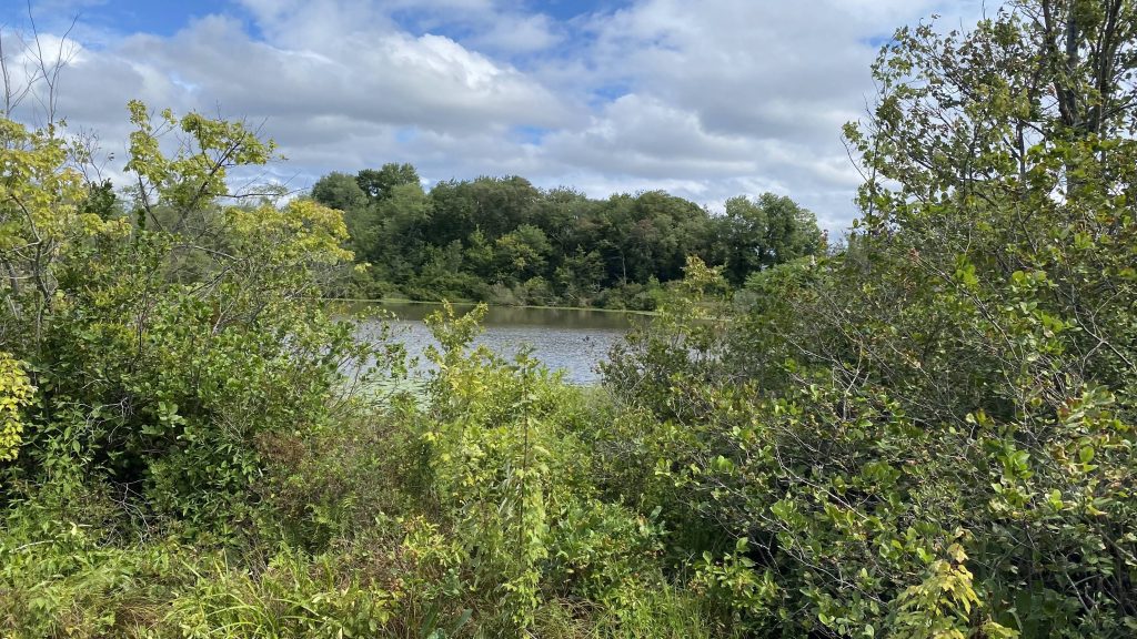
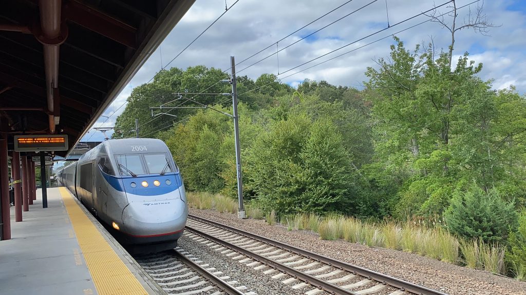
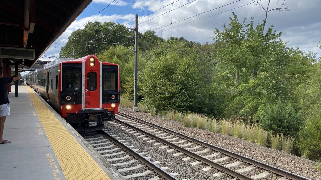
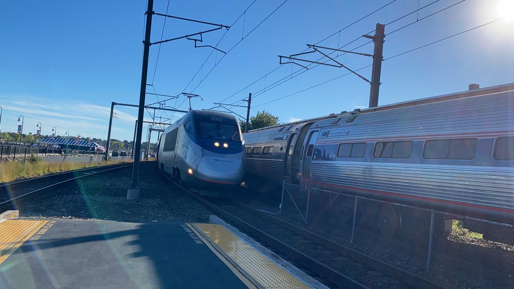
A nearby lake!The Acela, after delays started to clear up!A Regional!Is it me or do these things sound like geese honking?
Nope, I’m not riding this one. I refuse to. If what Miles has written about this is to go by, I’m not even gonna attempt to ride this.
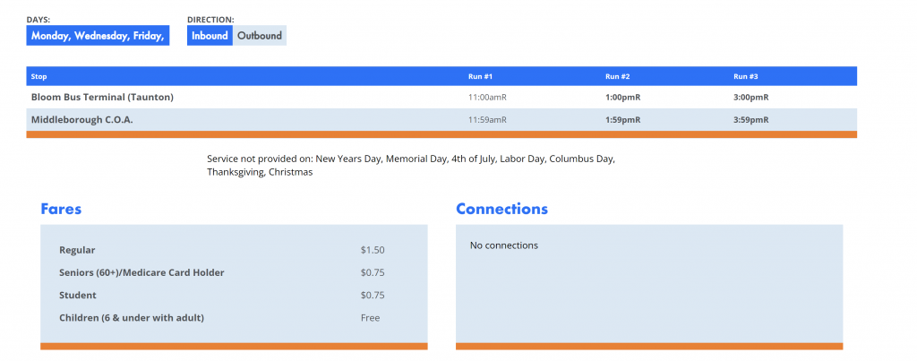
That’s it.
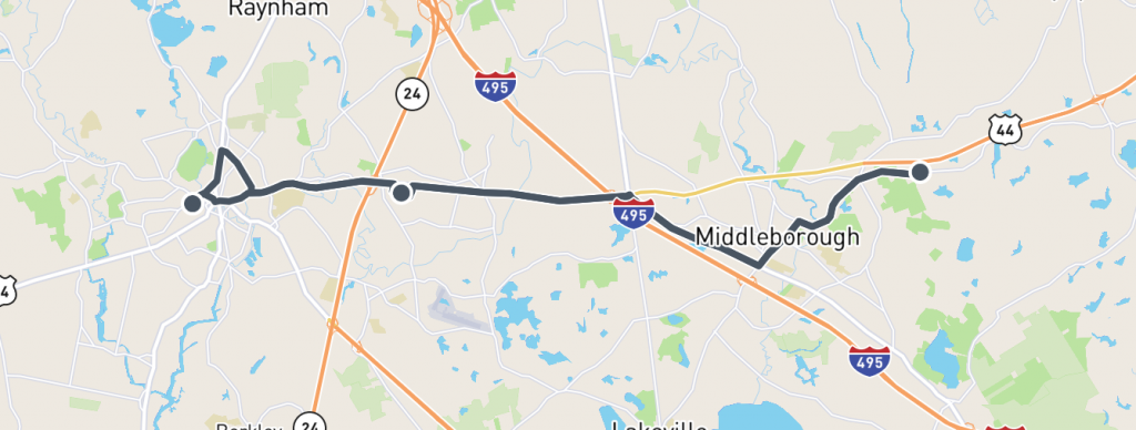
Yup, that’s it. Just the Bloom Terminal in Taunton, and the Middleborough Council on Aging. How bad is it? Well, let’s see. It’s a straight shot between the two towns, three times a day, three days a week. Uh, no. I think I’ll pass on that. It also says there’s no connections, but that’s clearly a load of dookie, since it not only gets close to the Middleborough MBTA station, it also ends at the Bloom Terminal in Taunton! What?!
The routing
Now apparently, if Miles’ experience from 2018 is to go by, it’s a call-in reservation system, but there’s nothing on the GATRA website to suggest it. I also wouldn’t be surprised if they just harvested a Dial-a-Ride van for this route. And, if the GATRA website is full of crap (which I doubt) and it is a call-in service with no info (again, which I doubt, since I don’t think GATRA would go that low), then one could plausibly end up with a similar experience to Miles when he rode it. But, overall, it looks like it’s since become a normal-ish GATRA route, and as such probably isn’t that painful, right?
The good: These two cities need to be connected together!!! Why, exactly, is there nothing else between them?!
The bad: They give this thing (seemingly) no time. Maybe the schedule is padded, but there’s no layover time each way.
Nearby points of interest: Taunton, a senior center in Middleborough. Yeah, there isn’t much.
Overall, it can’t be that bad, right? Just how much can they have bungled it up? Besides, it seems more normal now on paper than when Miles wrote his entry on it. Huh, well crap, guess I gotta ride this now.
Rating: 5/10
Yeah, the 5/10 is a tentative score, until I actually get around to riding this thing.
Oh boy, a new RTA! I can’t wait to see how painful this turns out to be! Well, let’s look at 9 Town Transit’s route 643. Yeah, there aren’t gonna be many 9 Town entries since, well, they only have 6 routes total, one of which I already covered due to its seasonal nature.
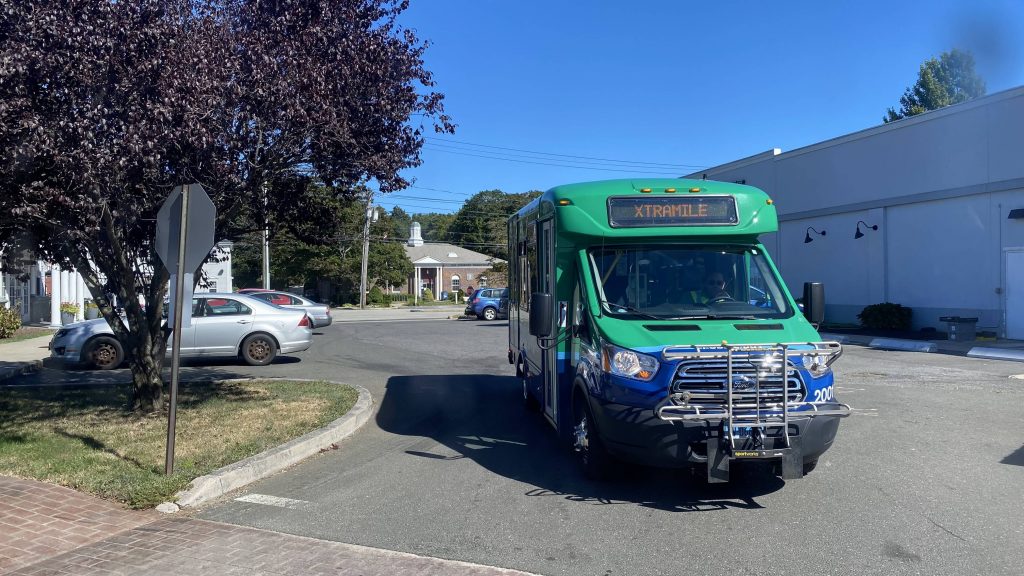
The cutaway van
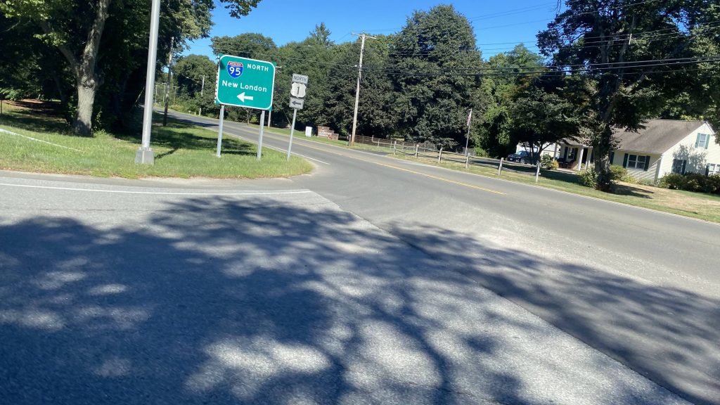
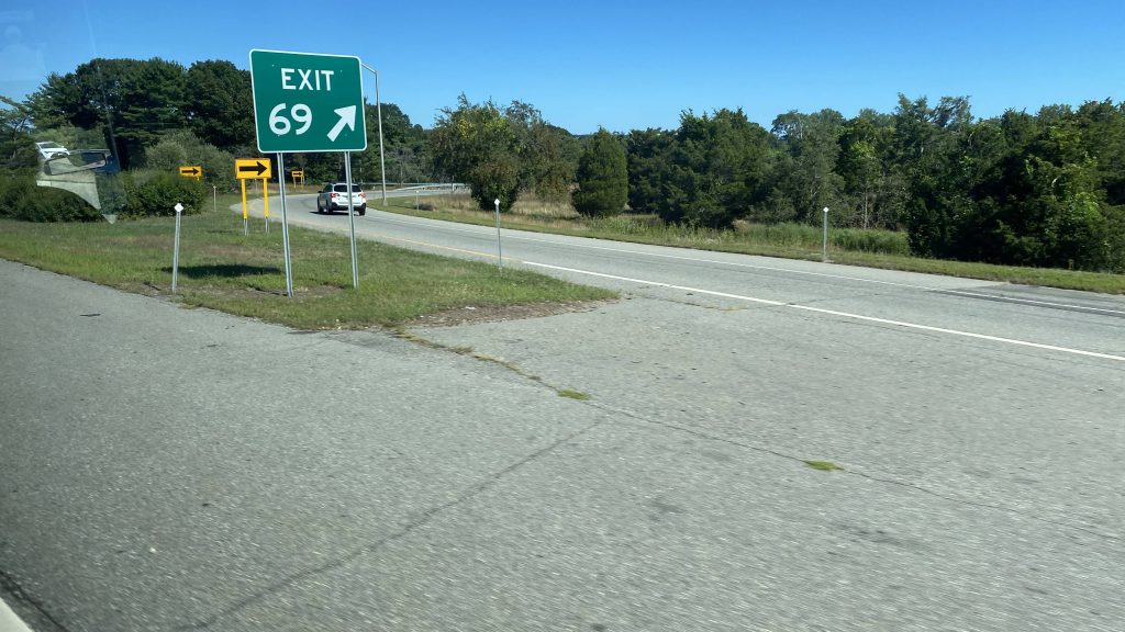
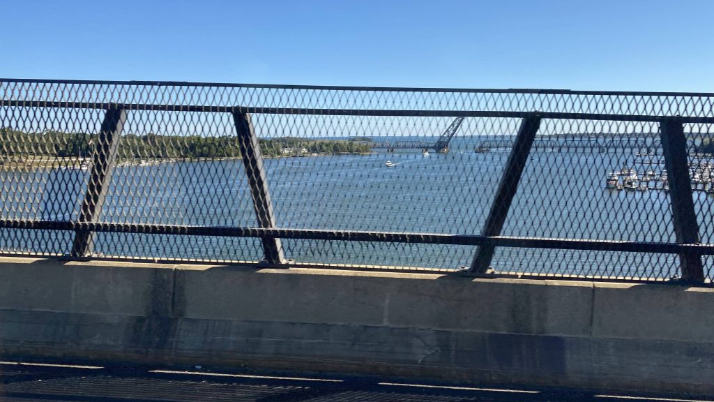
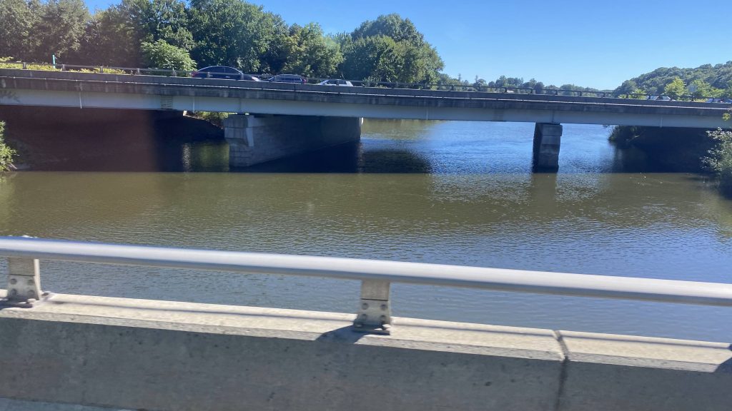
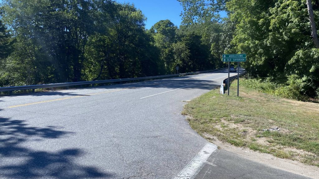
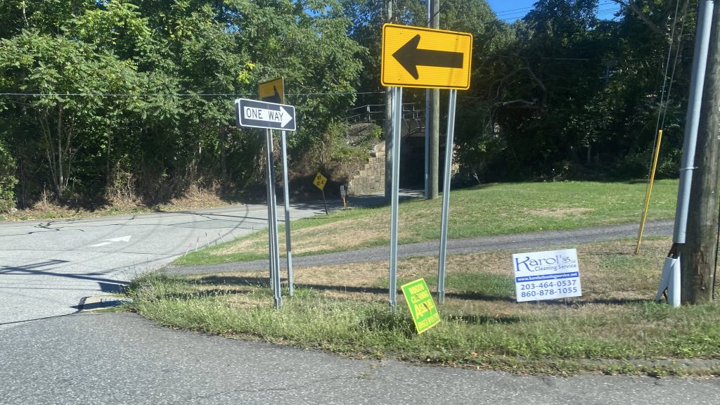
Anyways, remember the cutaway van picture from the Old Saybrook entry? Yeah, we’re riding that. So, the driver yells “Get on, whadda y’all waiting for?” as we’re at the dinky bus station, and we’re off to the races. Leaving the train station, we take a right down Route 1 to make our first deviation: Stop & Shop. Fortunately, this one is shared by the 641 and 642 as well. And yes, a few people got on. Despite the overall low ridership for the system (remember, this IS rural Connecticut), the bus was half full. From here, we pulled back out onto Rte. 1 and went over the Northeast Corridor, and going right to remain on Rte. 1. Then, holy crap, we’re express on the interstate! But, it wasn’t for long, as we got off at exit 70.
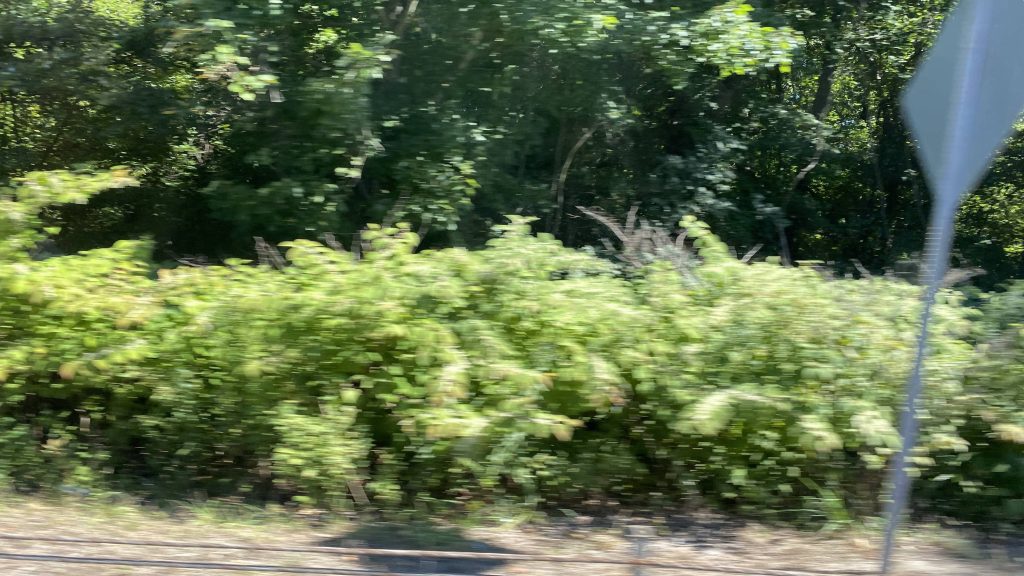
Onwards!Deviation #1Someone transferred from this cutaway van.Northeast Corridor!Into the woodsExpress time!Hehe, niceCrossing the Connecticut RiverAnd back on local streets!
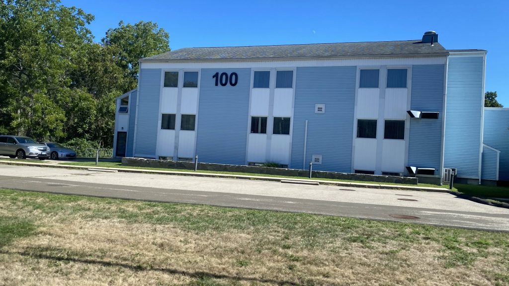
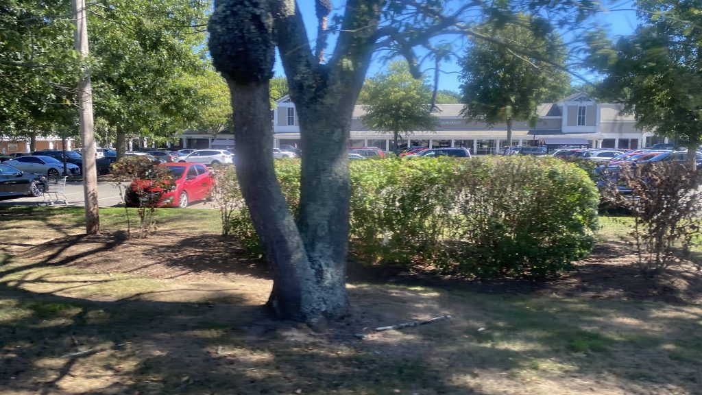
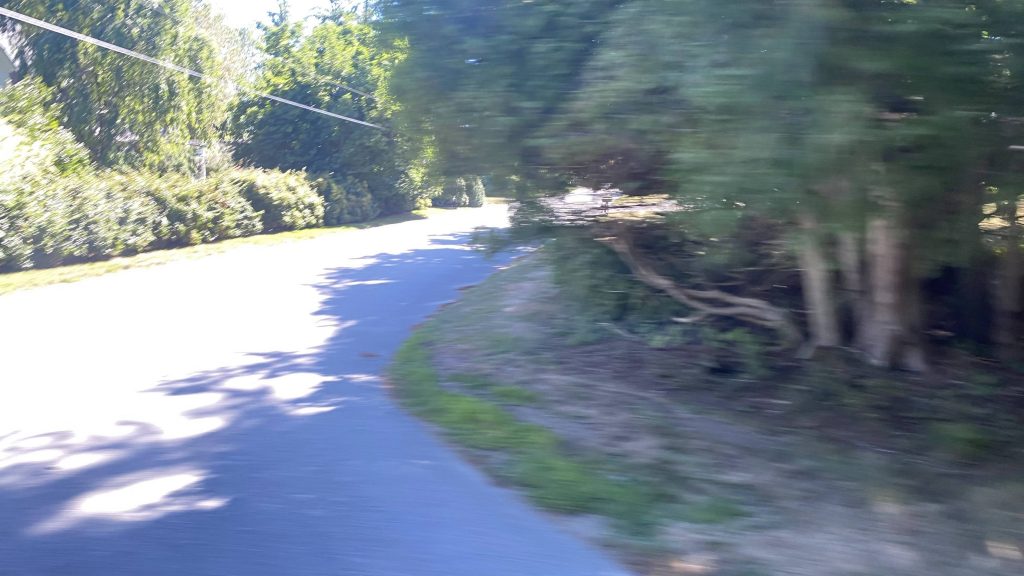
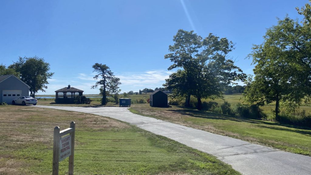
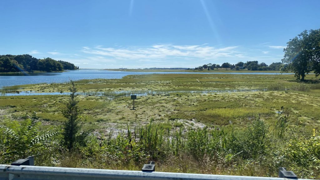
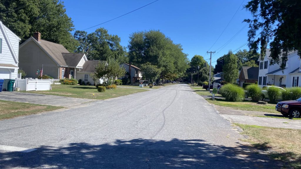
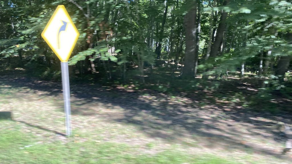
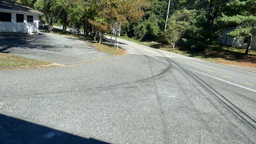
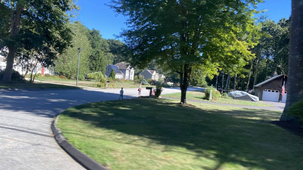
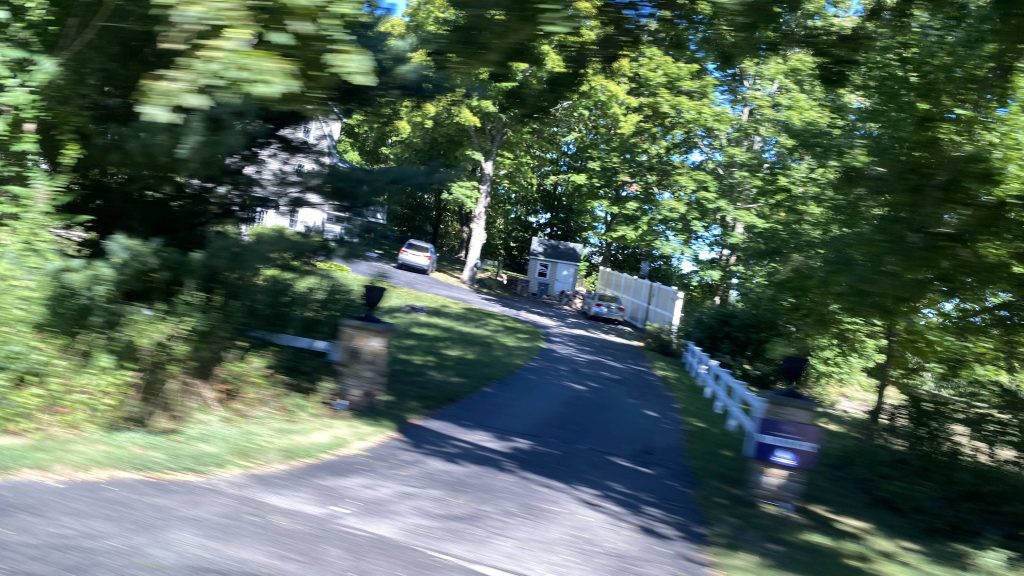
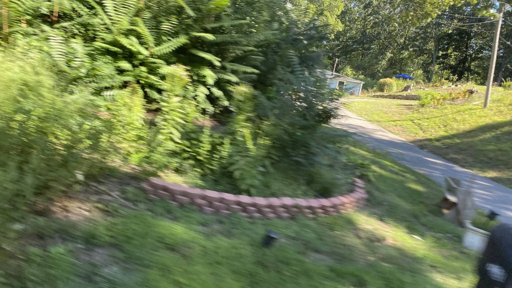
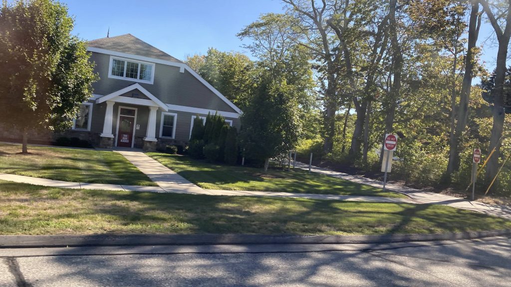
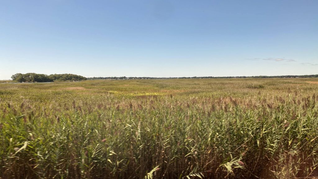
Alrighty, moving along, it was mostly woodlands from here out, save for a deviation into Big Y. We proceeded down Route 156, which was kinda scenic in some areas. However, we also did pass through the main population center of Old Lyme. As we pressed on, people actually got on and off, much to my surprise. And, I’m not sure why, but there’s something relaxing about riding a bus (40ft city or a cutaway van) through what’s essentially the middle of nowhere. We also passed through some marshlands. We then continued down 4 Mile River Road, and took a right down Route 1 again. Now, there’s a request-only deviation here to the Old Lyme Senior Center, but we didn’t go that way since noone requested it. Nevertheless, we pressed on and eventually reached a shopping area in East Lyme. One right turn and a left later, and holy crap we’re express again!
Big Y?!A small riverA historic-looking buildingA whole lotta woodlandsWe ain’t going back to OSB!Scenic!Very scenic!This feels like HOAlandA side street to the oceanBlurvision 3000The Northeast Corridor againSome more side streetsNo express quite yet!greenMore HOAlandA small drivewayEven more blurFancy!Sorry, but it ain’t a Dollar Tree.An abandoned golf rangeA park & ride before going express
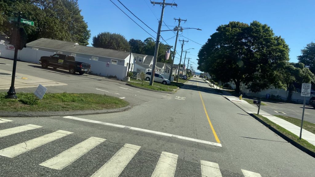
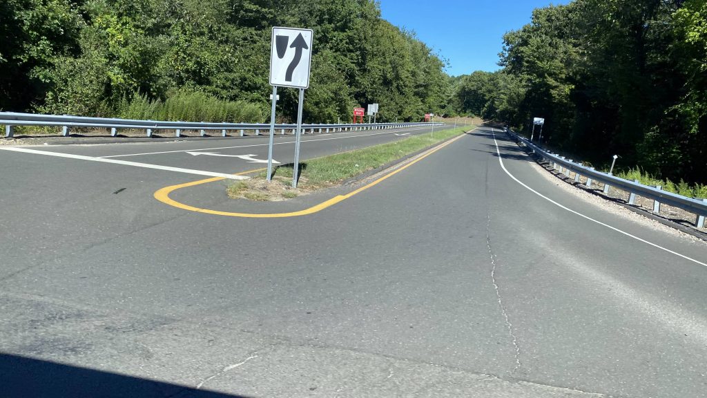
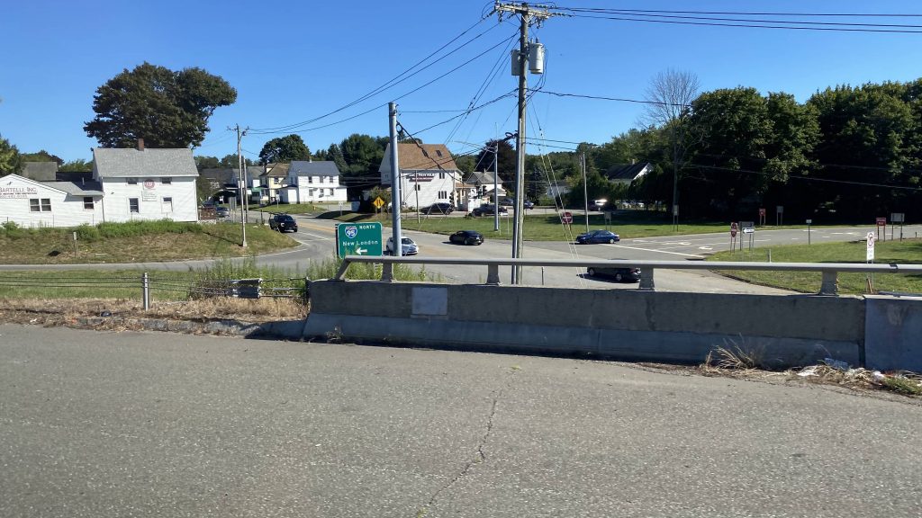
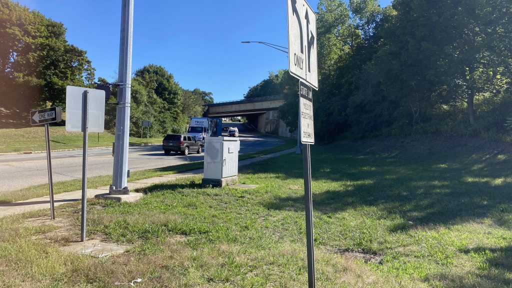
So, we went express all the way down the interstate now. No, we didn’t cross the Thames. However, we were dumped into the streets of New London from here, where we went down Washington and State Streets, turning left onto Water Street at New London’s bus station.
Onwards!idk what this isExpress through WaterfordOff the freeway!Downtown New London!Welcome to Union Station!
The good: It’s a link between Old Saybrook (and the other 9 Town routes!) to New London. It’s also pretty well-utilized, if the ridership of my trip was to go by. It also serves a number of rural communities. It’s also free through the end of November. Thanks, governor Lamont!
The bad: The scheduling is a bit lackluster. Now, maybe it’s manpower or funding, but 2 hours for a bus is…no, just no. Unfortunately, this is gonna be a common theme with 9 Town, and most rural transit authorities. It’s also weekday-only. They also don’t give this thing enough time, despite the fact it’s every 2 hours.
Nearby points of interest: New London and the connections to SEAT! There’s also the Stop & Shop and Big Y. But, being rural, there’s not much otherwise.
Overall, it’s a good route on paper, but the major killer is probably the scheduling and lack of resources. And, unfortunately, that’s also going to be a common theme among the rural transit authorities in not just Connecticut, but Massachusetts too. But, I have to give 9 Town credit for trying, at least.
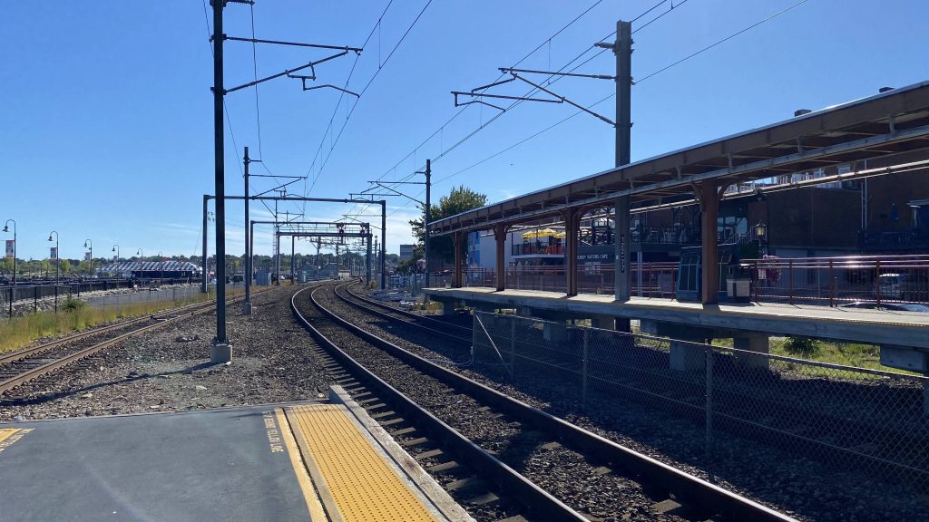
Alrighty, the eastern terminus of the Shore Line East! And, boy, does this one look nice!
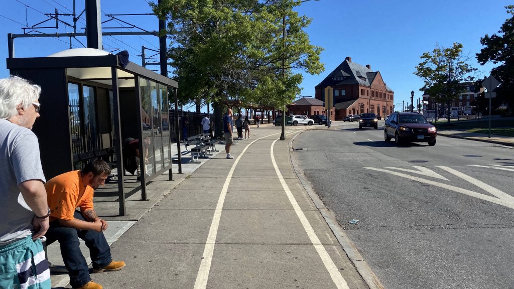
The bus waiting area
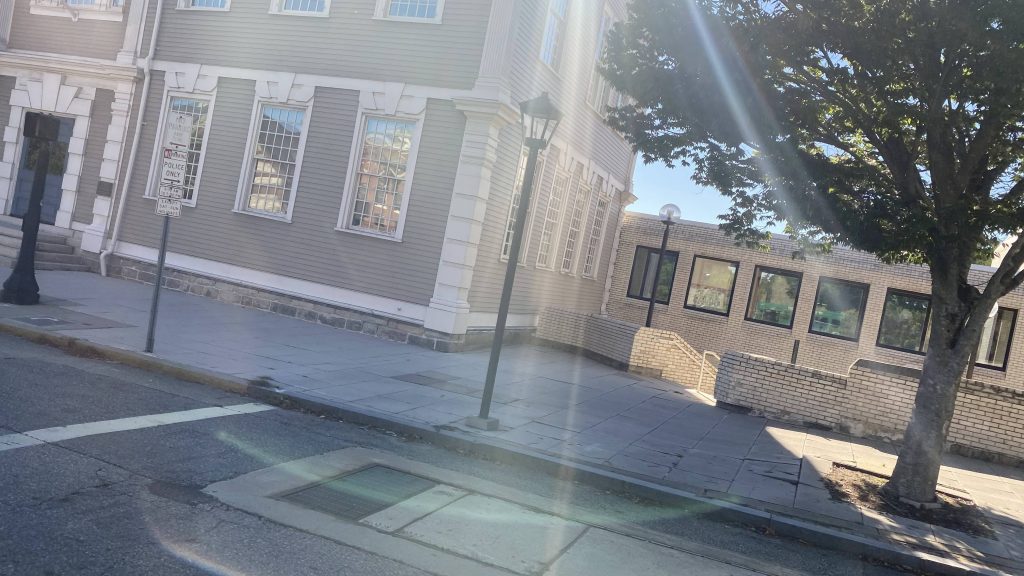
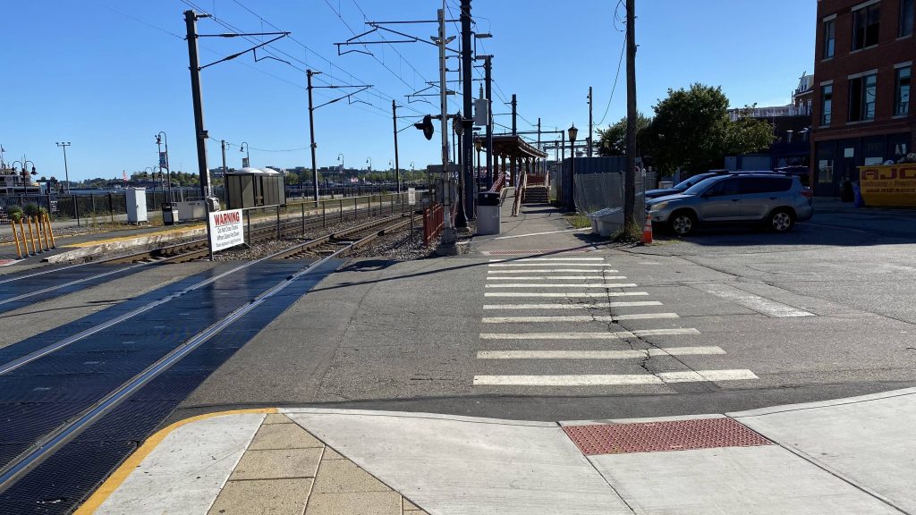
So, the bus waiting area is a little ways up the street from the station, but it’s within view of the station, so it’s not far. It consists of a shelter and a bunch of benches. For it being SEAT’s New London hub, I’d expect more but whatever. Walking to the station, the platforms are in a similar configuration to what one would find on the Providence Line’s MBTA stations if anything, with a mini-high (though these are several cars long, not just one) and a low-level platform area on the other side of the street. Fortunately, the mini-highs are sheltered, but you better run to track 2 before the gates come down.
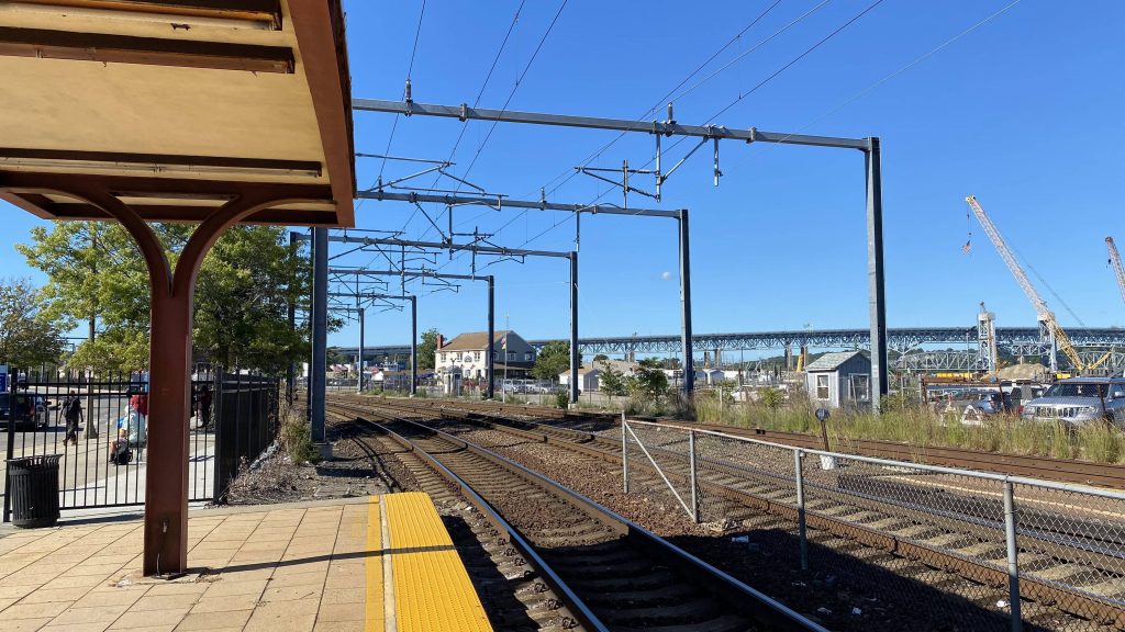
Down the tracks!The high platform for track 2The Amtrak sign
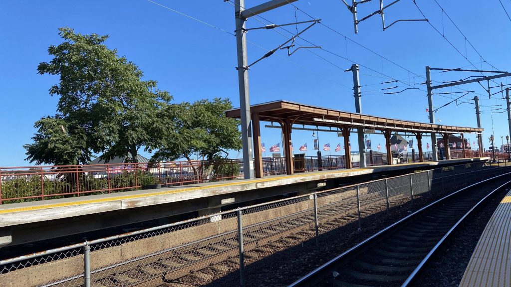
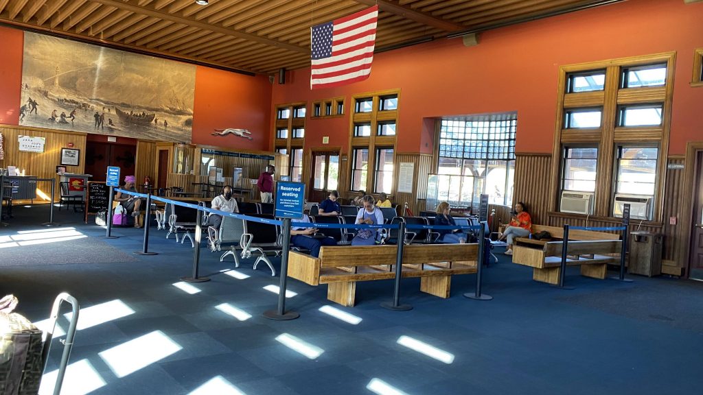
Moving into the waiting area in the station building, it’s quite nice. In a way, it feels like something you’d expect from a modern station, while retaining the vintage feel of the building. Here, Amtrak and Greyhound ticketing can be found, along with a cafe area. Apparently the womens’ bathroom smelled like fish, per a friend.
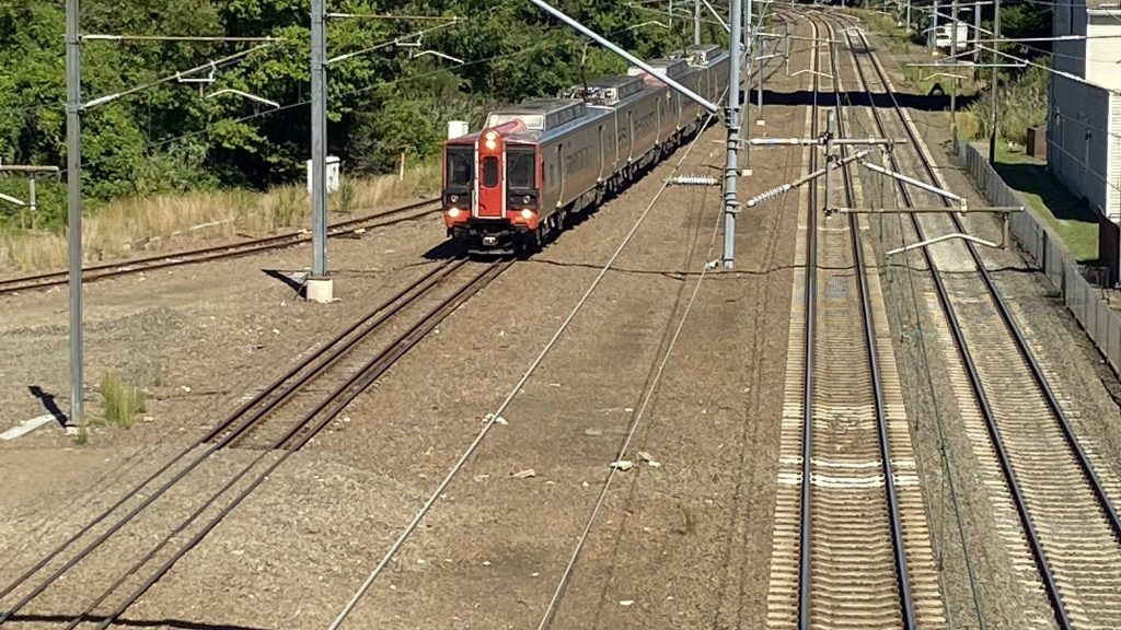
The waiting areaTrack 1’s mini-highThis is nice.The station buildingWestbound from the low platform on track 2Track 6’s decrepit platform, unusedOh look, an M8!
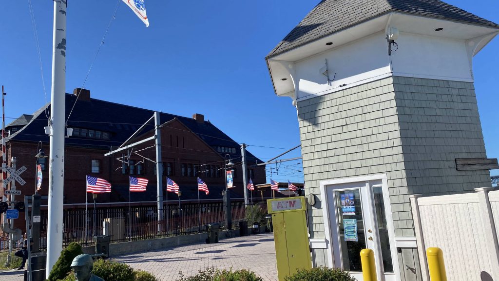
The good: It’s centrally located in downtown New London! And, for a station serving a small town of about 25000, it’s pretty well used with similar ridership figures to Kingston/URI. Furthermore, most Shore Line East trains end here, along with many Regional trains stopping here. The station building itself is also pretty nice.
The bad: However, the bus area could be better. Yeah, it’s nice it’s sheltered, but I’d think a dedicated berth or three would be better. I mean, you have Greyhound and SEAT primarily. Also, the grade crossing. It’s a major “screw you” should you be running late. Shoulda kept the footbridge instead of demolishing it. And, why is track 6 unused and un-electrified? I think it’d be better to have the M8s lay over there instead of obstructing one of the two mainline tracks. Also, would countdown signs outside like at Kingston or Old Saybrook have been too much?
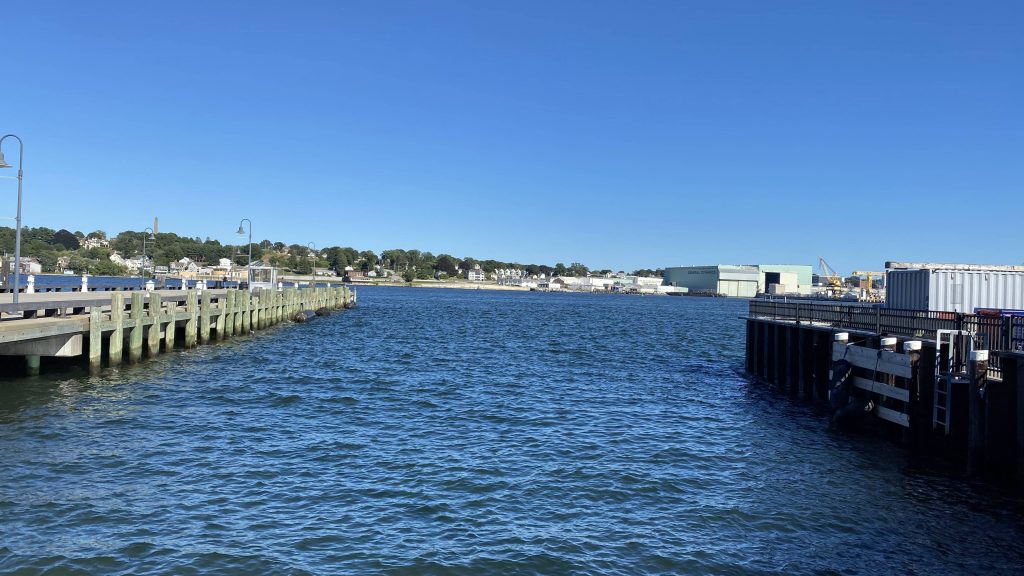
Nearby points of interest: Pretty much all of New London, plus SEAT’s reach. There’s also Block and Long Islands via the ferries.
Overall, I like this station as well. It managed to survive into the 21st century retaining its vintage feel, but with a modern refurb. The fact track 6 isn’t used is irritating though. It’s also a scenic place to railfan, if that’s your thing.
Rating: 7/10
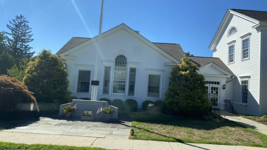
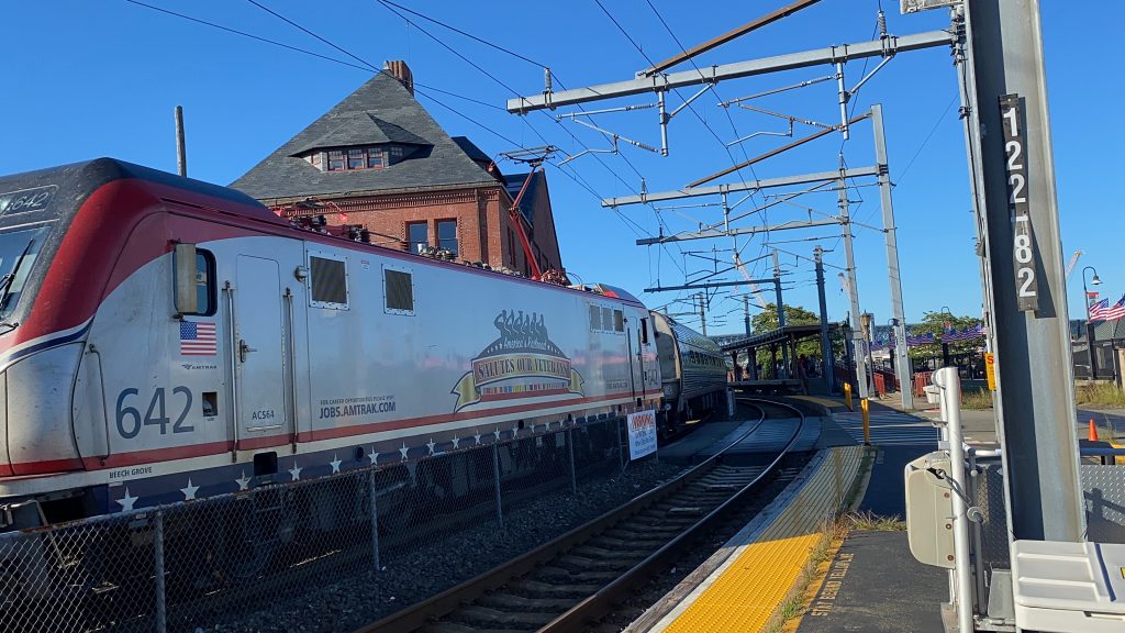
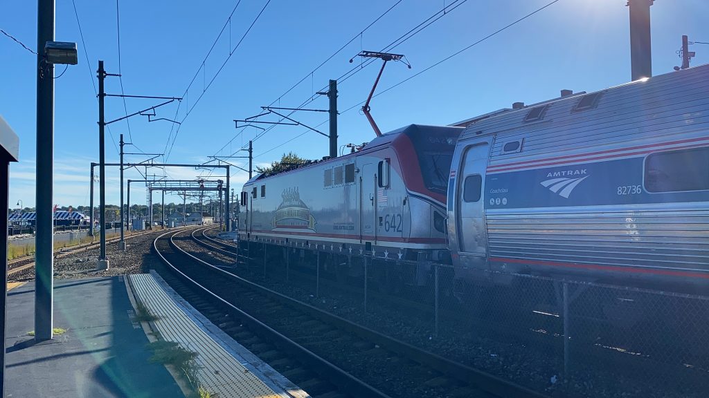
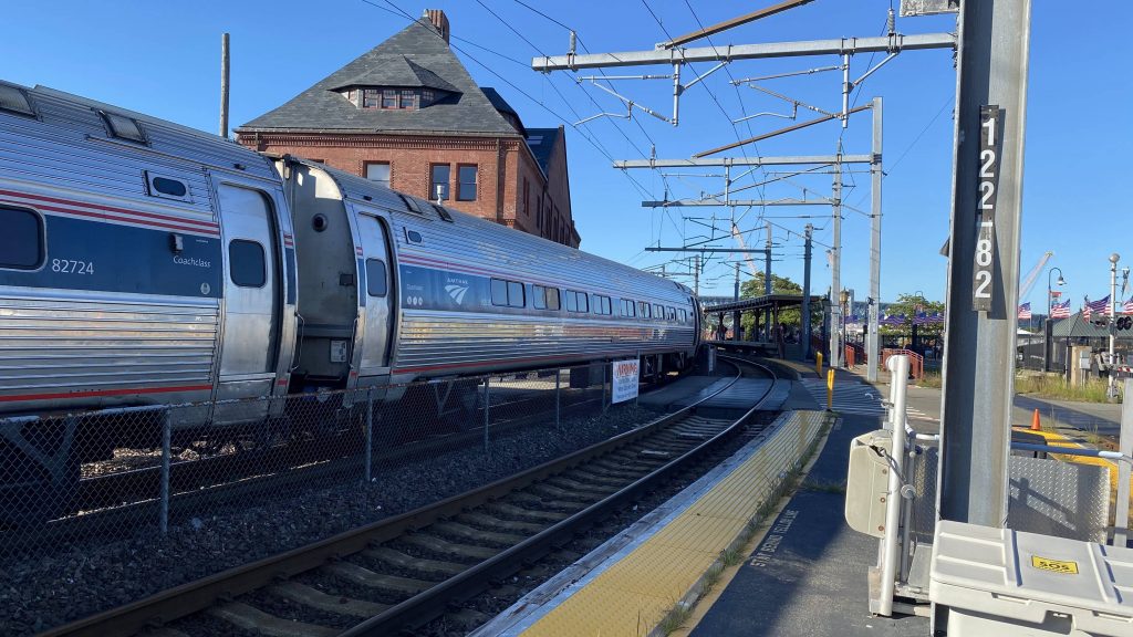
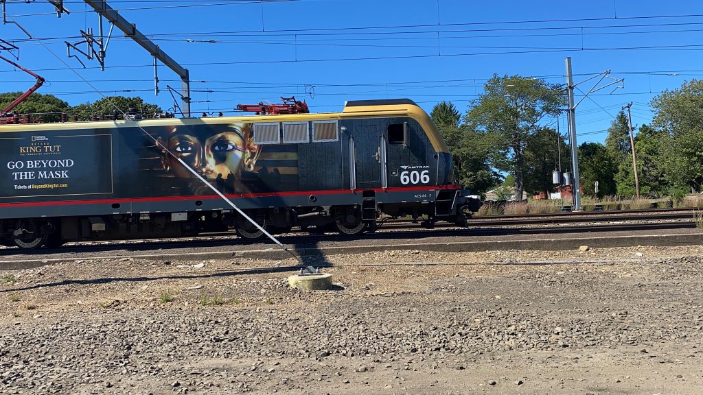
HOLY FUCKING SHIT, THE VETERAN’S LIVERY!There it is!Oh yeah, it blocks the street.Another Regional, wrong trackOh, that’s why.
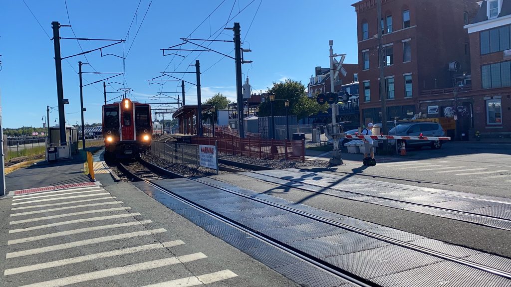
Up next on the Amtrak to-do list, Old Saybrook! So, not only does Amtrak stop here, so does CTrail’s Shore Line East. Oh, it’s also a central hub for 9 Town Transit as well.
See ya!
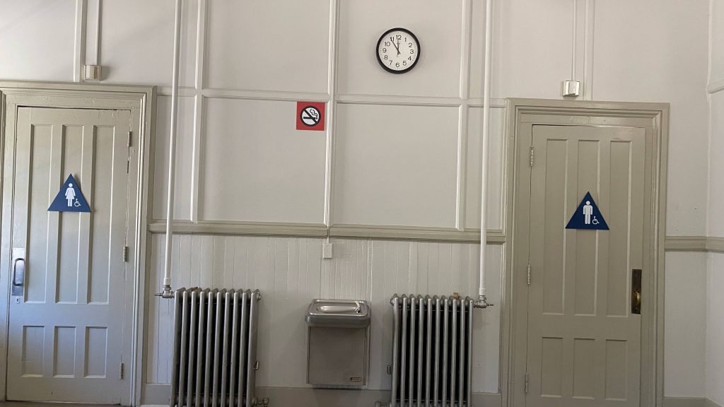
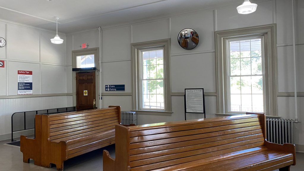
So getting off the platform, I immediately noticed that it is much shorter than Kingston’s (the point of comparison for this station, as Mystic’s was Westerly). But, it’s also high-level, which is nice. And, wouldn’t ya believe it, track 3 is actually useful here. That is, the Shore Line East uses it to dwell and to allow Amtrak to also stop (or express) past the station. Meanwhile, over to the east, track 3 is pretty much never used as the MBTA doesn’t go that far south. Now, moving on to the station building, it’s split into two essentially. One section is the Amtrak waiting area, meant for both Amtrak and Shore Line East (of which Amtrak operates under contract with ConnDOT) passengers. The other section is where I got my lunch, which brings us to…
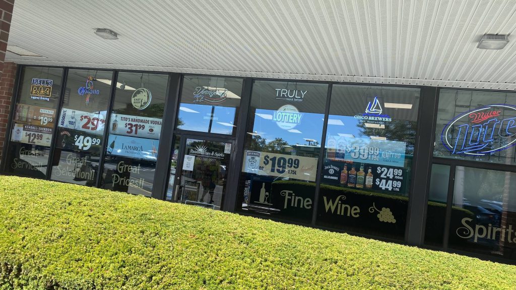
DEVIATION SENSATION TIME!!!!!
The bathroomsThis feels like it’s straight from the ’50s. I like it.The Amtrak area of the building
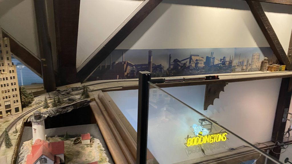
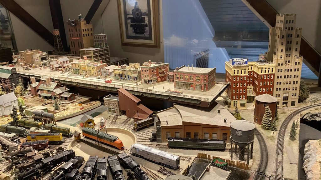
Alrighty, today’s lunch consists of a meat lovers’ pizza from Pizza Works, located at Old Saybrook Station. The downstairs area is nothing to ring home about, however they do have a model railroad and a live feed of the tracks on the upper level. I got some Coke for a beverage, while my friend only got a water, nothing crazy. And boy, was the pizza good. In fact, I’m writing this at 10PM, 10 hours after eating most of the pizza, and I’m still not hungry. In terms of service and food quality, I’d give it a 5/5, however the prices can be a bit much for just one person.
Model railroad!More model goodness!
And now back to our regularly scheduled program!
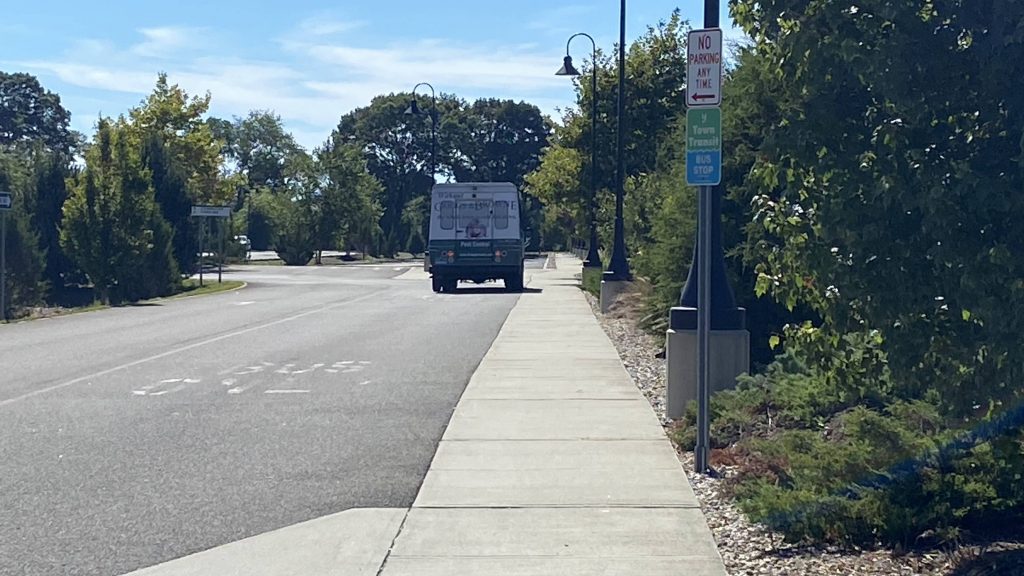
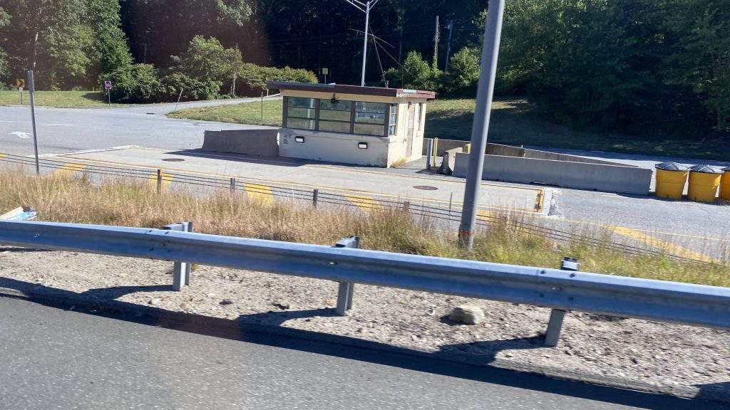
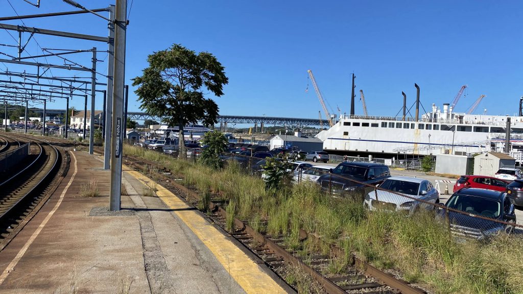
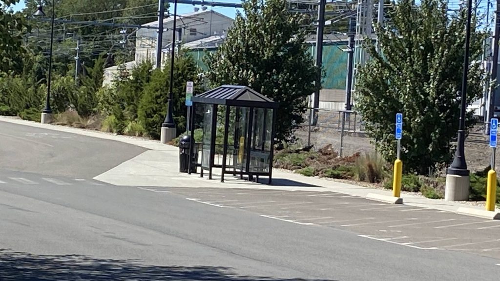
Moving on, in the parking lot, you can see a bus shelter. Wait, where’s the promised “transit hub” for 9 Town Transit? Well, it is the shelter. Yep. You mean to tell me 9 Town Transit’s central hub, is a dinky shelter?! Oh for God’s sake…
For Fucks’ sake!
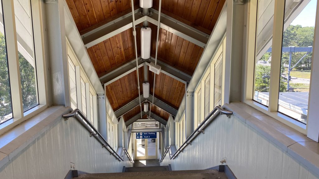
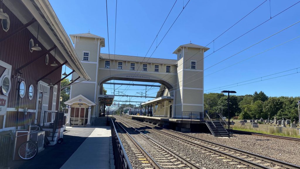
Now, there’s one last area I’ve yet to touch on. The bridge itself is much like Kingston’s, however unlike Kingston it has a display so you know how screwed you are, running for the Shore Line East train you’re about to miss. It does look nice, though, and the elevator doesn’t smell like urine.
Down the stairs!Across the bridge with Amtrak signageLooking down the tracksThe platformsOh right, ConnDOT procured y’all recently.Amtrak pulling inThe bridgeAnother M8, from above this timea 9 Town Transit van
The good: It’s a nice station! It’s got some charm and, unlike Kingston, has some transit-oriented development around it, namely Saybrook Junction Marketplace. This is also something Wickford should’ve had happened, but it just never came to be. Furthermore, you got commuter trains to New Haven from here, as well as most Northeast Regional trains. As for ridership, it’s on the lower side of things, however it’s still not bad vs. other Connecticut stations. Lastly, you also have 9 Town Transit, despite the bus shelter being all you get.
The bad: The biggest complaint is easily the platform length. Sure, it’s fine for the SLE, which uses 4 car trains (or 3+locomotive, before the M8s went into service), but for the Regional, it’s a bit of an issue given train lengths are oftentimes double or triple that. Furthermore, with it essentially being 9 Town Transit’s hub, it’s not exactly great at that, with the sole bus shelter.
Nearby points of interest: You have Saybrook Junction! The town center is to the south on Main St. as well. There’s also connections to places served by 9 Town Transit.
Transit connections: Amtrak (Northeast Regional) CTrail (Shore Line East) River Valley Transit (640, 641, 642, 643, 644, Xtramile) CTtransit (921)
Overall, this isn’t a bad station. The platform length might be an issue, as with the shitty bus hub, but in terms of character, I like this station. It reminds me quite a bit of Kingston. However, I’d definitely lengthen the platform a bit.
Alrighty, now since I’ve done both termini of the Blue Line, how about an entry on the line itself?
sbubby
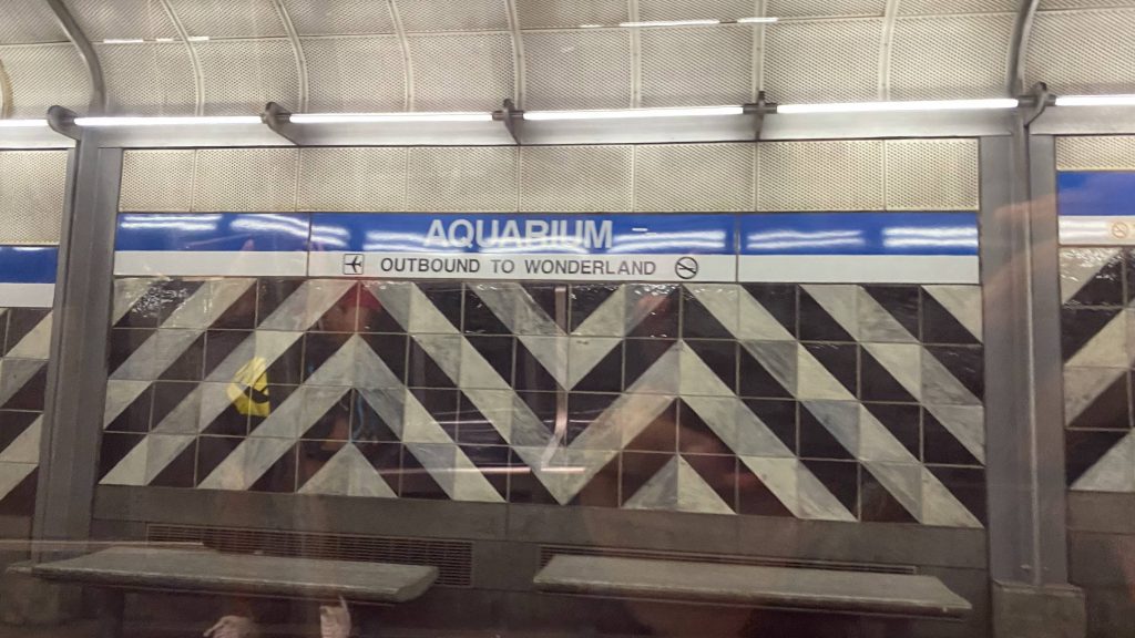
The East Boston Tunnel was initially built as a light rail line, initially running from Maverick Square to Court St., with a stop at State Street and Atlantic Avenue (now Aquarium). Constructing this ended up taking quite a while, a lot of money, and from what I can find, killed four. Eventually, it’d be extended to Bowdoin Square, the present western terminus, and converted to standard subway instead of light rail. Along with this came an intermediate stop at Scollay Square, now named Government Center. Needless to say, this required a lot of manpower. Then, upon the dawn of the 1950s, when most US cities were essentially throwing their rapid transit systems into the toilet with the advent of the automobile, came a new extension to the Blue Line. This brought it out to the present-day eastern terminus at Wonderland in Revere, with intermediate stops at Revere Beach, Beachmont, Suffolk Downs, Orient Heights, Wood Island, and most notably Airport. Nowadays, the line has two proposals for extensions, being a western extension to the Red Line at Charles/MGH, and an eastern extension to the Lynn Commuter Rail station.
Anyways, enough of the historical mumbo jumbo.
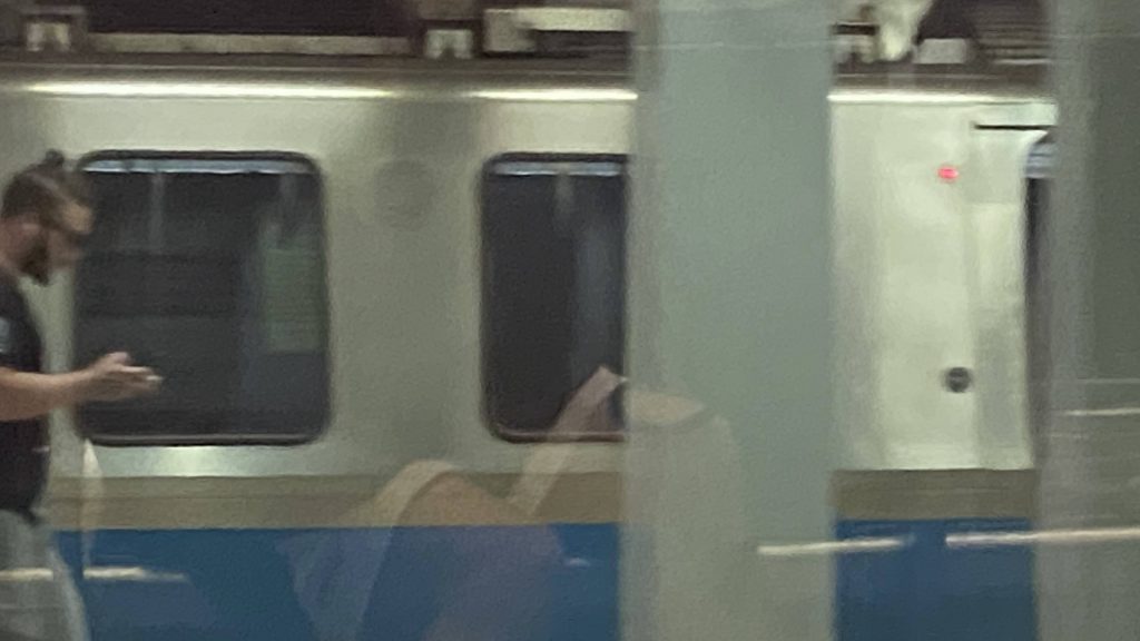
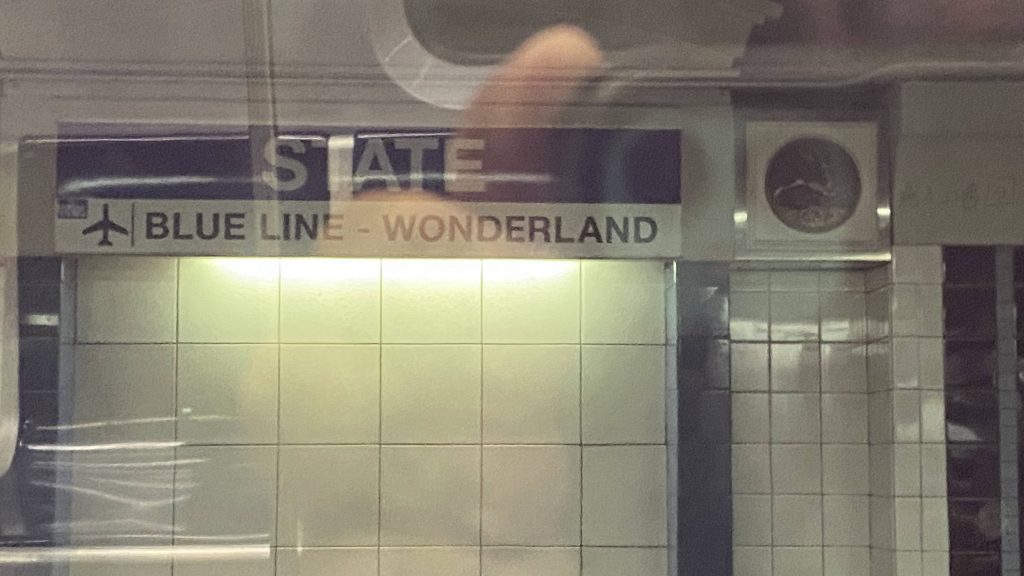
State Street!
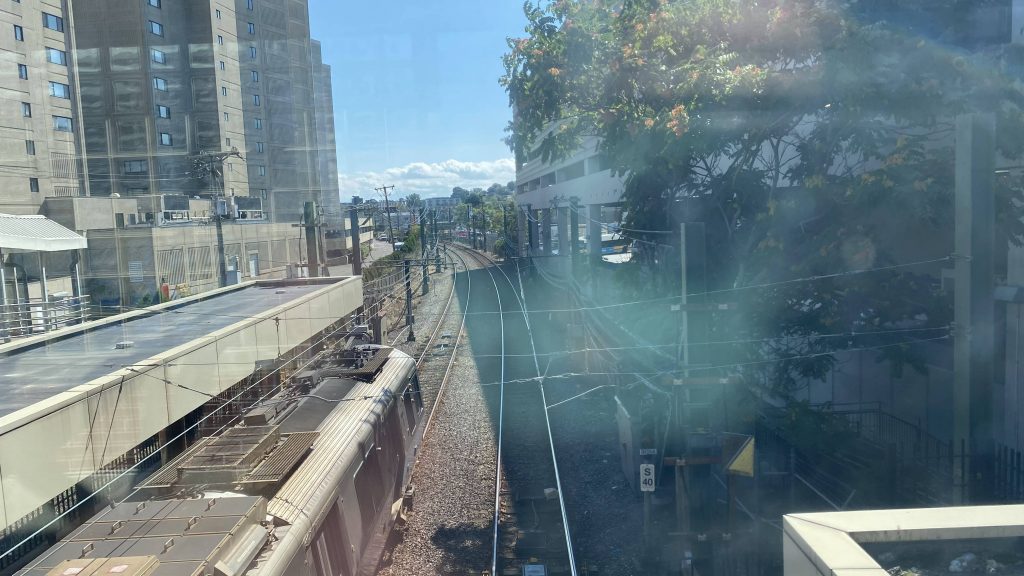
So, the ride begins at Bowdoin, which is not accessible. Accessibility can be found at nearby Government Center and State Street, both of which are very close by. Oh yeah, the train screeches a bit like the Green Line in Boylston going into Government Center. Oh, NOW we’re going fast. Soon enough, we’re flooring it through the tunnel into Aquarium, and then the speed REALLY picks up going under the harbor into Maverick.
Thank goodness it isn’t a literal aquarium down here (yet).wall
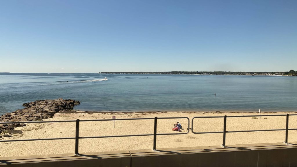
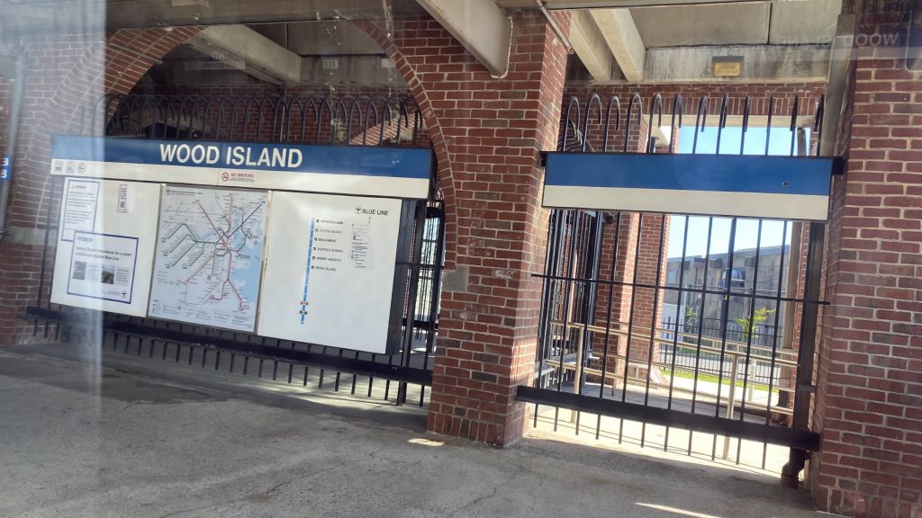
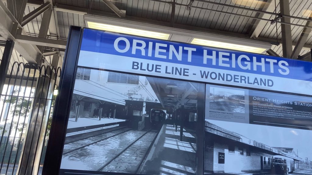
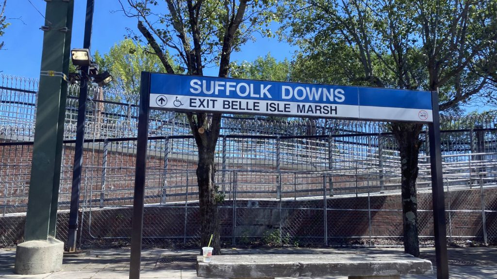
After leaving Maverick, we emerge on the surface and holy crap, it’s scenic. One can see the airport, some green spaces nearby, and the ocean between the stations. We arrive at Airport and transition to overhead wires, which are used to prevent any issues during the winter. Moving on, it’s very scenic and we’re going really fast. Why, again, can’t the Orange or Red Lines be like this? We enter the rest of the surface stations at Wood Island, Orient Heights (where the Blue Line yard can be found!), Suffolk Downs (the least-used station with fare control!), Beachmont, Revere Beach, and lastly Wonderland. Wow, that was fast.
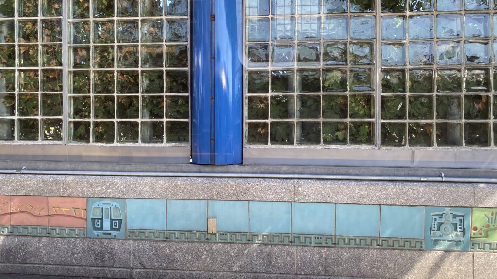
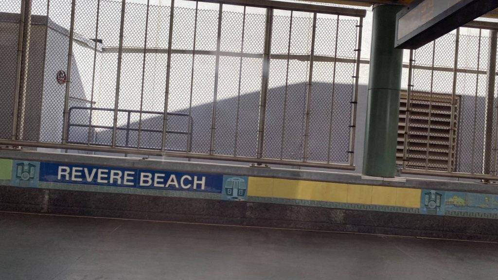
Welcome to Revere!This looks like a nice place to railfan the Blue LineThe least-used station with fare control!Woah, a mosaic.Revere Beach!End of the line!
The good: Well, it’s fast! And, it sure as hell has no slow zones unlike the Orange and Red Lines! It’s also probably the most scenic out of the rapid transit lines, running along the ocean and the beaches. The rolling stock is pretty nice too, consisting of 2007 Siemens #5s.
The bad: The Charles and Lynn extensions would be kinda nice.
Nearby points of interest: There’s downtown Boston, along with the airport! You also have Maverick Square, and pretty much all of eastern Revere.
Overall, I’d say the Blue Line is the best of the rapid transit lines. It’s fast, unlike the other subway lines. It doesn’t have to contend with grade crossings, unlike the Green and Mattapan lines. And, it doesn’t run in mixed traffic, unlike the Green and Silver Lines. Now, if only it ran to Charles and Lynn, I’d say it’s a home run.
Wait, another airport? Yeah, apparently T.F. Green isn’t the only airport-centered station to be appearing on this site. Well, let’s dig into Logan Airport’s subway station.
The overhead wires and a subway car
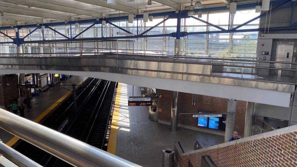
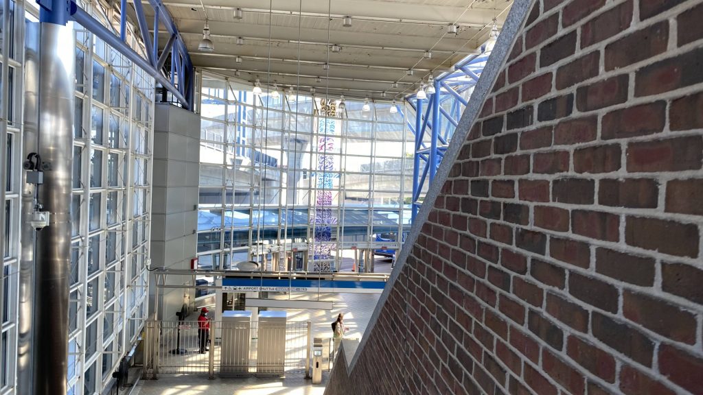
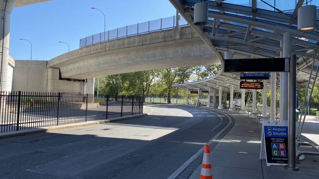
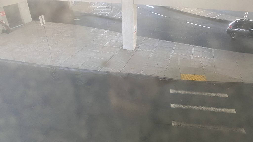
First off, this station is special since it’s where the handoff between 3rd rail and the overhead catenaries happen. Second, it’s pretty nice. As a station, it’s spacious and is pretty well-lit. There’s a footbridge to cross the tracks, in standard Blue Line fashion (well, for surface stations, anyways). The main lobby area is also pretty well-lit, and one can find quite a few brochures. This also happens to be where the Massport buses board, along with the SL3 to South Station and Chelsea. Not exactly the best area, as it felt a little dingy, but whatever.
A lobbyThe tracksThe busway lobbyThe busway
The good: It’s a direct-ish link between Logan Airport and the Silver and Blue Lines. Well, it’s not direct, but the Massport shuttles are free, which will bring you to the airport terminals. But, if you don’t want to ride the overcrowded SL1, this seems like an alright spot to change over to the Massport buses.
The bad: I mean, I guess the busway can feel a bit dingy. Though, however, that’s because it’s under the turnpike and the East Boston Expressway.
Nearby points of interest: Well, surprisingly, there’s not just Logan Airport. In fact, the airport exclusive in this section is reserved for when I do my entry on the SL1 stops. As for near the station, while it’s still not much to ring home about, you do have two parks, a residential neighborhood, and even a stadium.
Transit connections: Blue Line Silver Line (SL3) Massport shuttles
Overall, it’s a fine station and it gets the job done. And, it looks pretty too as a bonus. Maybe I’m wrong to say things would go downhill after giving Wonderland a 9.5/10, but we aren’t too far gone yet from there.
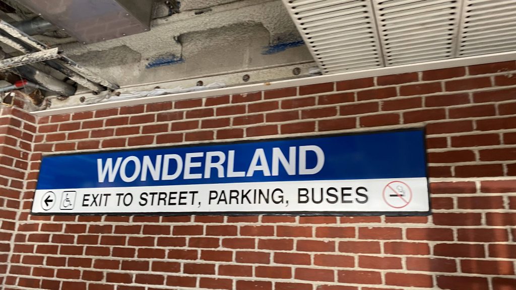
I debated whether or not I should try to quote the book Alice in Wonderland. However, since I’m not the best when it comes to literature, I decided against it. Anyways, here’s Wonderland. Winter wonderland, though? Probably not.
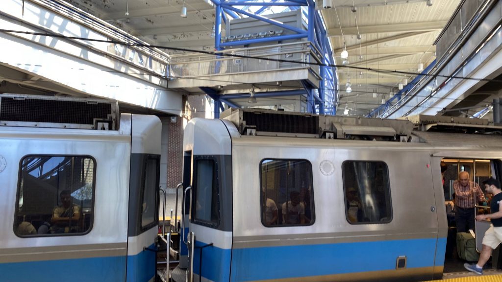
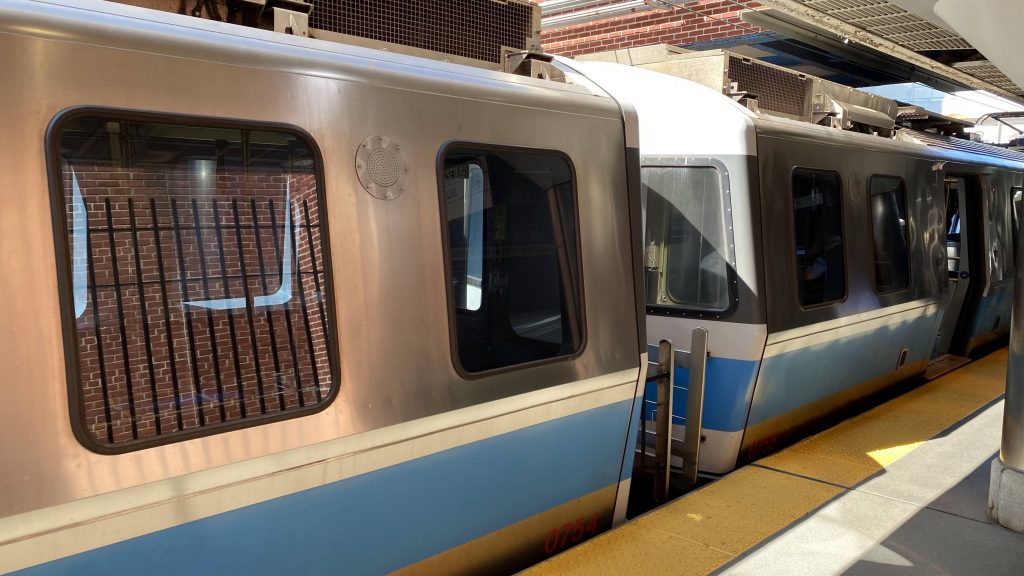
A Blue Line train
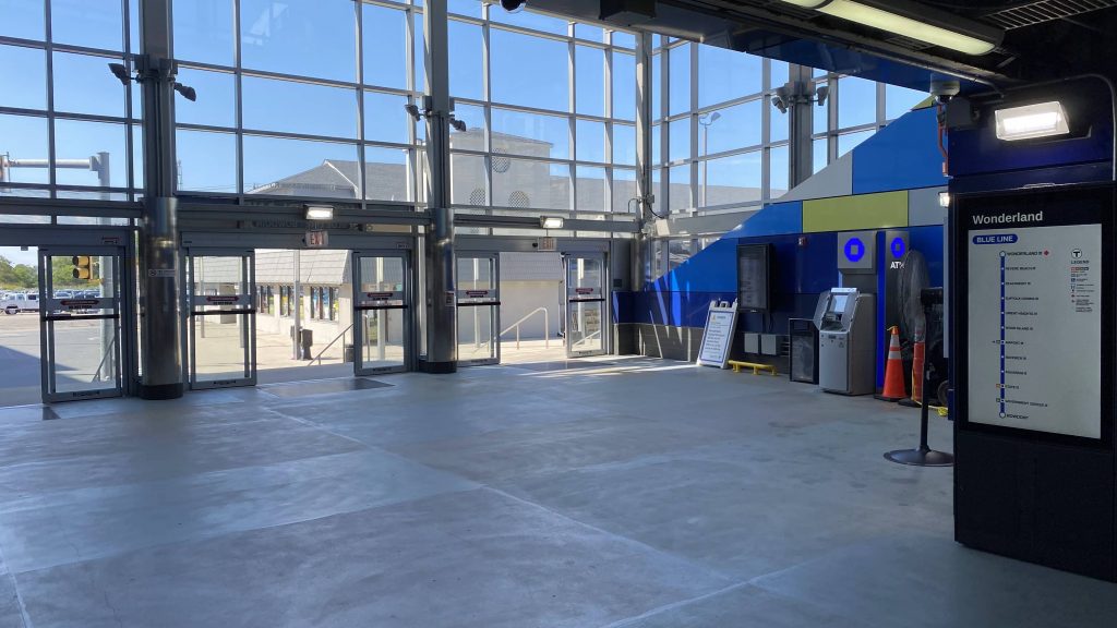
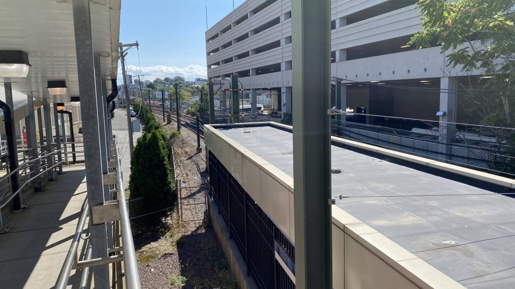
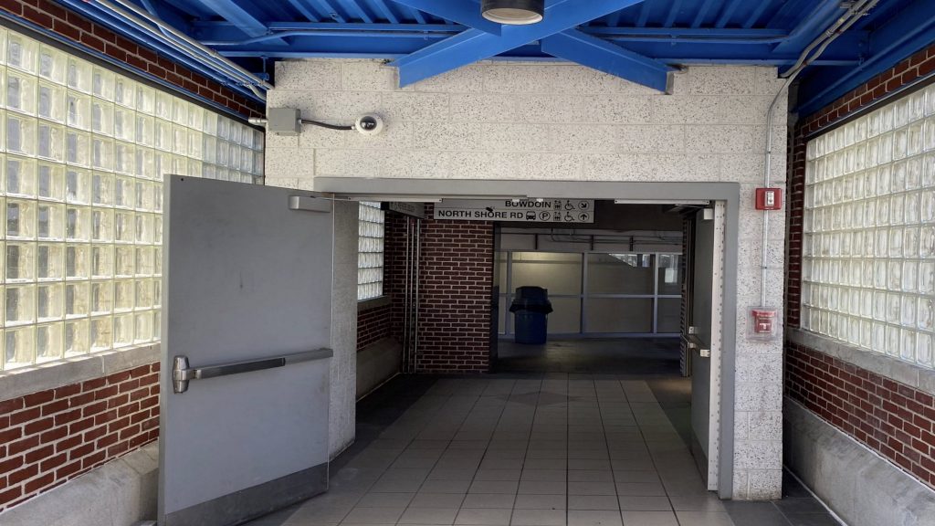
So, the platforms are definitely bright with natural lighting. There’s also not a lot to ring home about here. However, there’s a parking garage attached with another parking lot nearby. There’s also a pedestrian bridge attached that’ll bring one to Revere Beach, which is arguably why most people would be here (especially during the summer!). There’s also plenty of bus connections, with the busway being found in the garage. The mezzanine area with fare control is also well-lit during the daytime (and I’d presume the night too). Needless to say, they went crazy with natural light, which is a nice thing.
Helvetica bold! No smoking please!The tracks heading westboundThe doorway on the bridge towards the Bowdoin platform and the lobbyVleugh, dirty window!The busway and another dirty window!
The good: It’s a big park & ride lot! There’s also pedestrian access directly to Revere Beach as well. Furthermore, there’s several bus routes, many of which go on up towards Lynn and Salem.
The bad: Well….yeah, I don’t know. I guess the lack of free crossovers, but at a terminal station, I don’t think many people will be wanting to do such a thing.
Nearby points of interest: Revere Beach is the big one! (not to be confused with the Blue Line station of the same name). There’s also an Amazon warehouse if you’re a union organizer.
Transit connections: Blue Line MBTA bus (110, 116, 117, 411, 424, 426, 439, 441, 441/442, 442, 450, 455)
Overall, it’s not a bad station for a terminal. I really couldn’t think of anything bad, save for the lack of free crossovers. But, to be fare, not a lot of people will be looking to do that at a terminal station. With that in mind, I guess it’s downhill from here for the Blue Line, unless I come across a diamond in the rough.
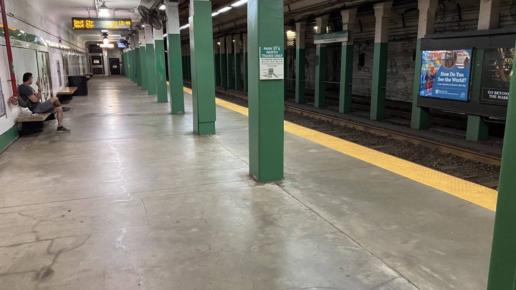
Ah, the Green Line. Not a personal favorite of mine, but it’s better than nothing. And hey, this one’s right in the heart of Back Bay, so there’s that!
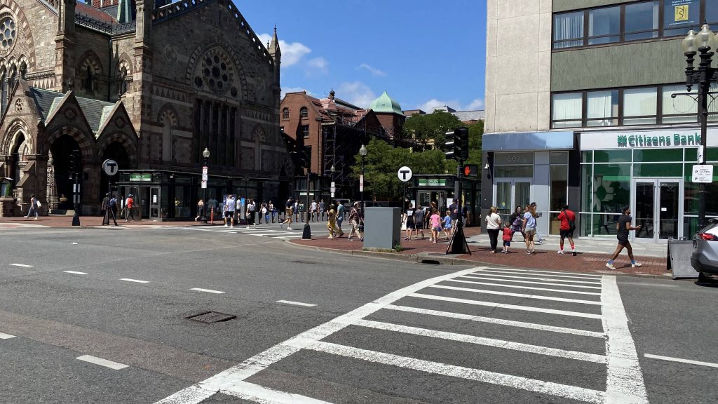
A pair of headhouses
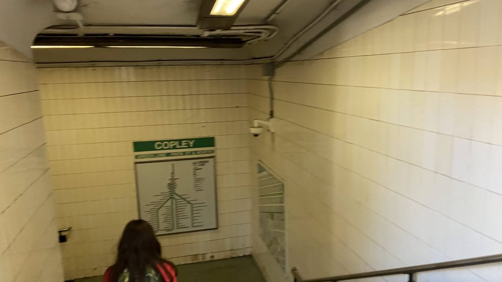
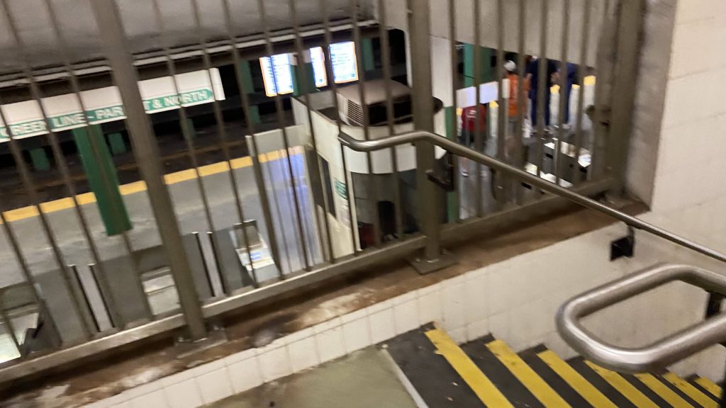
The headhouses are nice enough, being glass with elevators for accessibility. Two of them are on Dartmouth St., with the third being near the bus shelter on Boylston Street. On the inside, while the platforms are staggered, there’s nothing to ring home about. However, being in Back Bay, this station is among the busier Green Line stations. Of course, you have elevators going to fare control. The platforms are just white walls, but it’s not to the same degree of dinginess as Bowdoin. Now, the station would be a 7, if it weren’t for one major flaw. There’s no free crossovers! What does that mean, you might ask? Well, imagine this. You aren’t paying attention and you need to change sides. Most stations would let you do this within fare control (e.g. Quincy Center with its island platform, and Revere Beach with the footbridge being within fare control, for example). And apparently, it’s gotten bad enough to where they posted instructions on how to do free crossovers at the platform!!!!! Yikes!
Helvetica bold, maybe?Fare controlThe platform and- wait, are those crossover instructions?!
The good: It’s got plenty of bus connections, and the headhouses look nice! Copley Square also looks like a nice place in general. Kinda upscale, even.
The bad: No free crossovers. Yeah, that’s a major one. Also, the platforms are “eh”, doesn’t exactly fit the nice-ness of the area. But, whatever. Also, it can be a bit tricky to find where some of the buses stop (e.g. outbound 39s), as I didn’t see any bus stops or shelters that would reasonably correspond to them.
Nearby points of interest: Copley Square, Copley Place, and the Prudential Center are nearby! There’s also the John Hancock Building, and the Boston Public Library!
Transit connections: Green Line (B, C, D, E) MBTA bus (9, 10, 39, 55, 57, 502, 503) Back Bay Station (via a short walk)
Overall, this station at least has a leg up vs. Bowdoin and (I presume) Boylston due to being accessible. However, the major killer is the lack of free crossovers. But, it does its job well for a major Green Line station in the heart of the city.
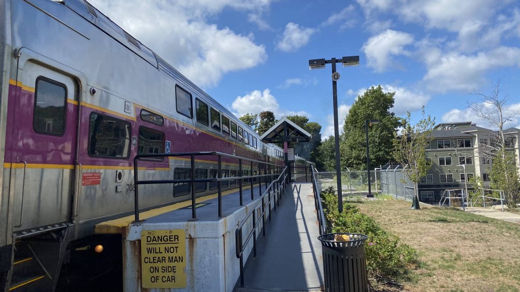
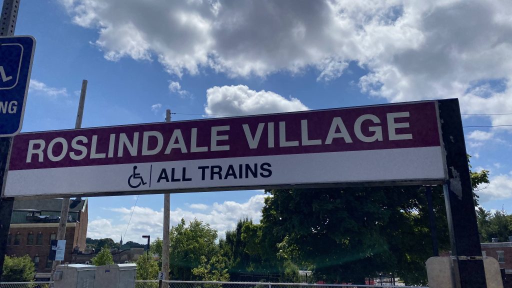
Alrighty, new line time! Since the Needham branch is essentially free until the Orange Line is open, let’s look at the line and some of its stations. First stop: Roslindale Village!
See ya, Needham train!
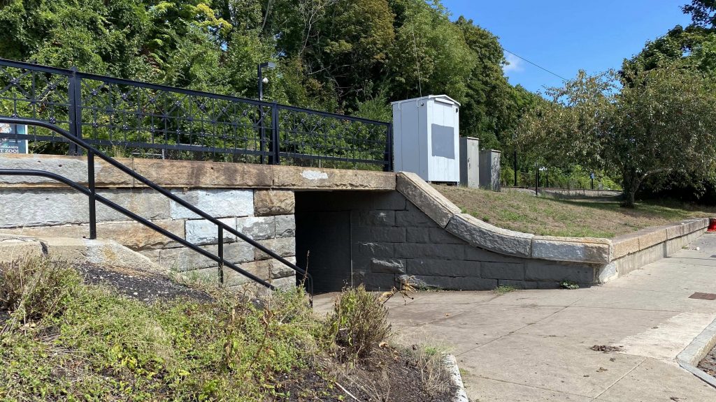
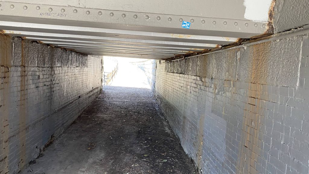
Alrighty, so the station is pretty much the same thing you’d expect from a Providence Line station, and I’d presume all the other Needham branch stations: a mostly low level platform with a mini-high. Not only is there a ramp from the mini-high to the low-level platform, there’s also a ramp coming from the Conway St. parking lot. However, that’s the only way to get to the station by an accessible mean, is via that parking lot. There’s an underpass under the tracks, should it be needed as well. The neighborhood itself doesn’t seem bad at a glance, and a number of bus routes pass by the station (with the 14 ending here). Oh yeah, as a fun tidbit, apparently mayor Michelle Wu is from around here.
Helvetica bold!That’s a lot of parking!The single-tracked Needham BranchOoh, an underpass!Nothing special, though. 🙁
The good: If you want a straight shot into downtown Boston, especially should the Orange Line be shut down, this is your best bet! Sure, it’s slightly more than taking the bus to Forest Hills and a zone 1A or subway fare into downtown, but the option’s always there. Plus, a lot of bus routes pass through (or end) in the area, so there’s that as well.
The bad: Why are there no benches????? I mean, it’s nice there’s a sheltered area, but it’d also be nice if there was a place to sit while waiting for the train to pull in. Also, the bus is more frequent than the Commuter Rail, unfortunately. Now, I’d propose an Orange Line extension to remedy this, but as of me writing this, that’s probably not a good idea.
Nearby points of interest: Roslindale seems like a pretty nice neighborhood. I’m probably gonna be here much more doing the bus routes, but at a first glance, it seems like a decent area like Hyde Park, and I like Hyde Park.
Overall, the neighborhood deserves better. It really does. For one, it’d be nice if the Needham branch was double-tracked (though that’s a rant for another entry). Furthermore, no seating????? Lastly, if I could change anything, I’d make the whole station high-level with a ramp leading up, rather than the mini-high setup. And, unfortunately, due to a lack of seating, I’d have to deduct more than I did from Hyde Park.