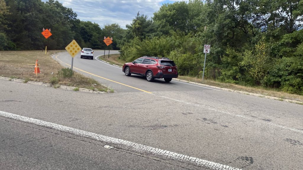
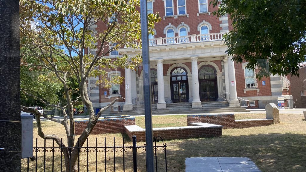
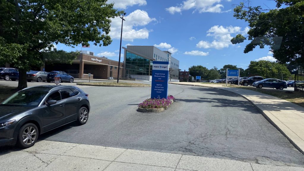
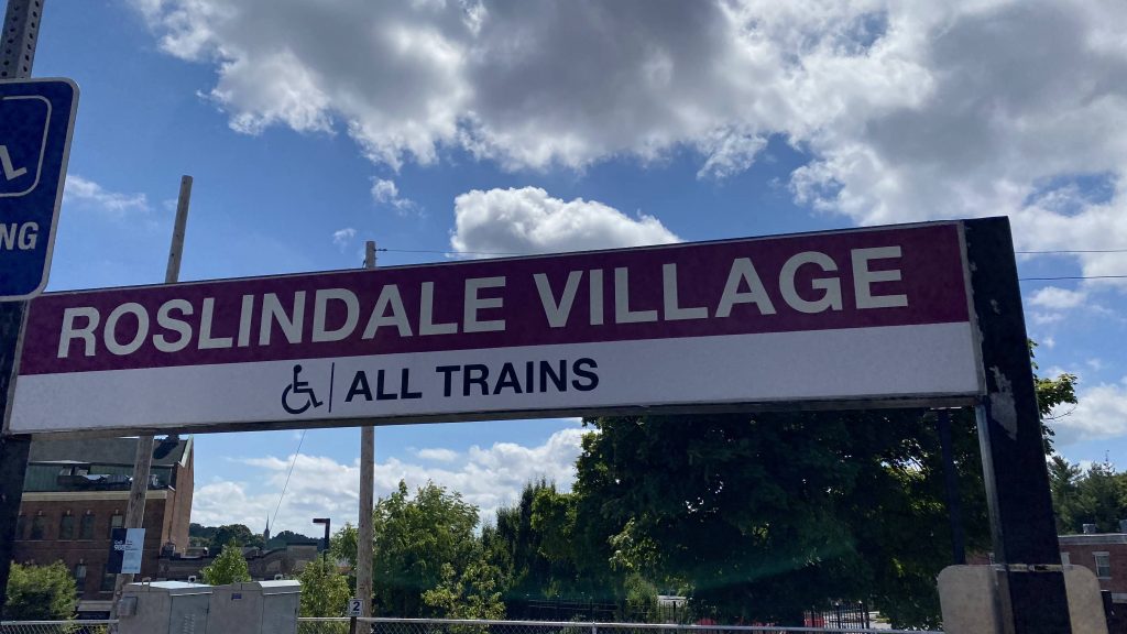
Alrighty, new line time! Since the Needham branch is essentially free until the Orange Line is open, let’s look at the line and some of its stations. First stop: Roslindale Village!
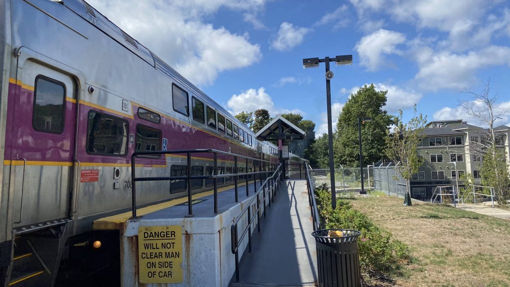
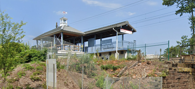
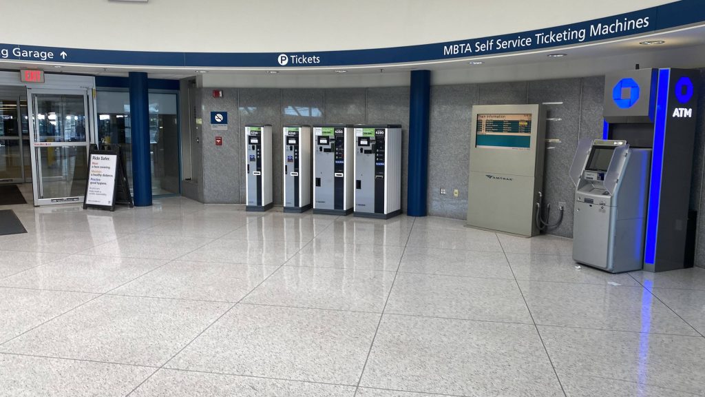
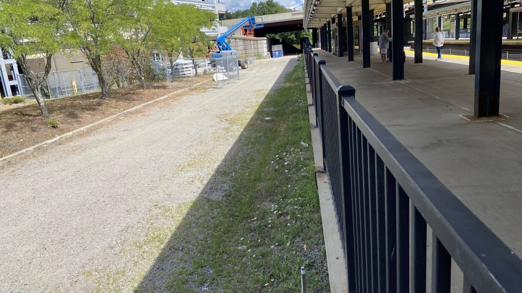
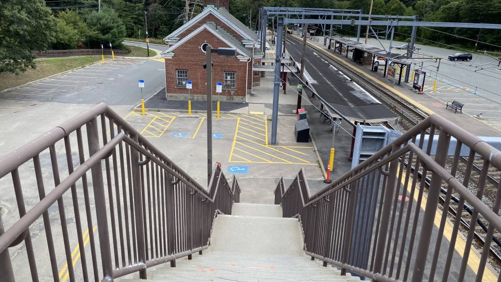
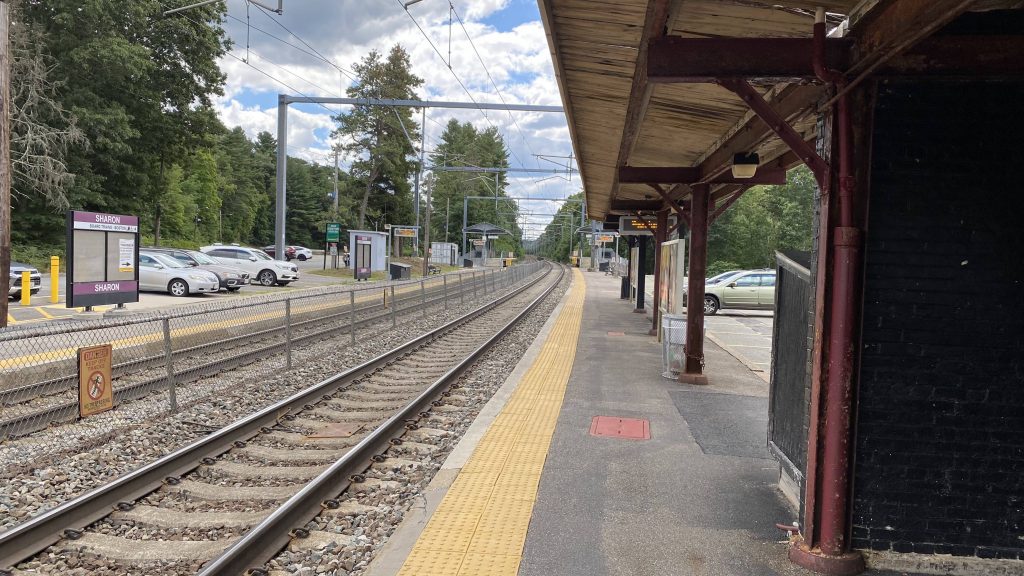
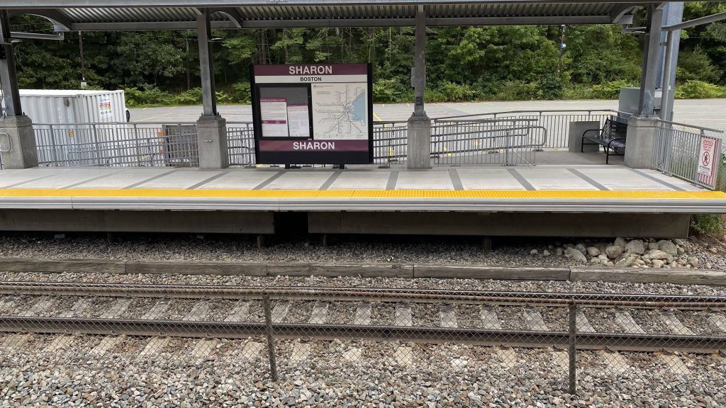
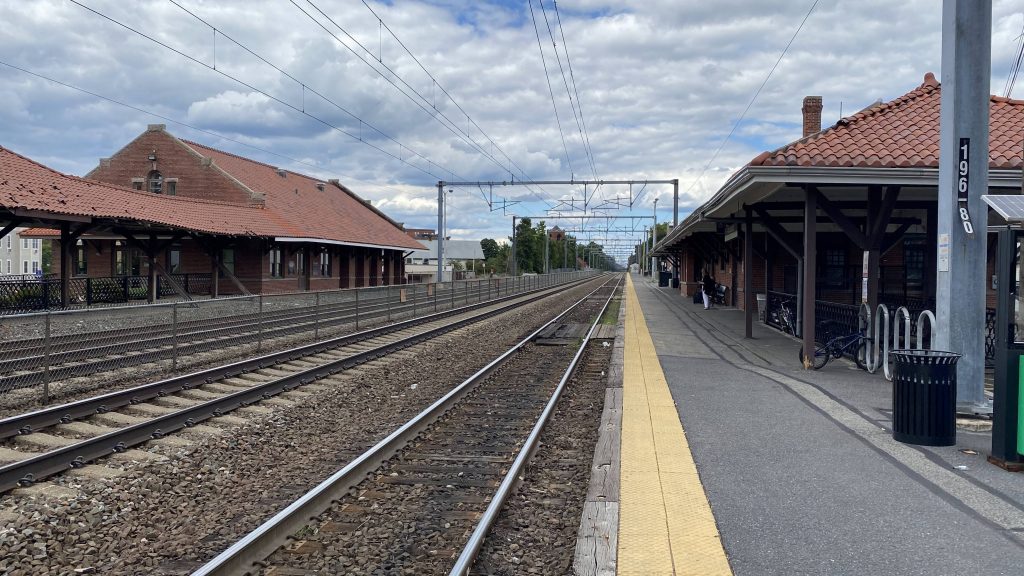
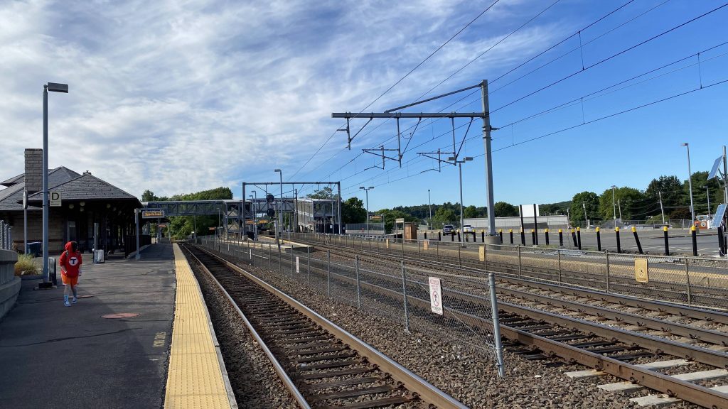
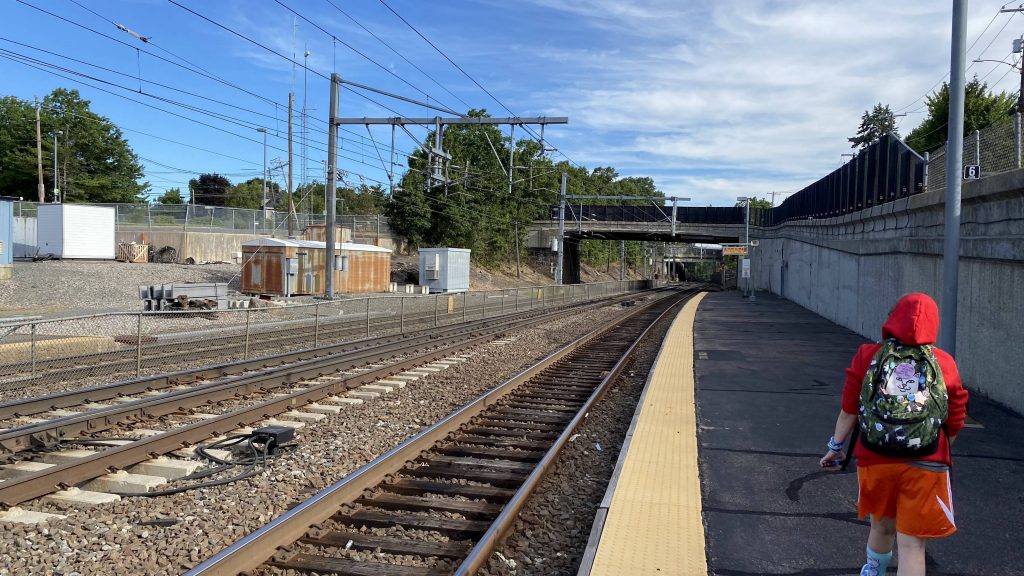
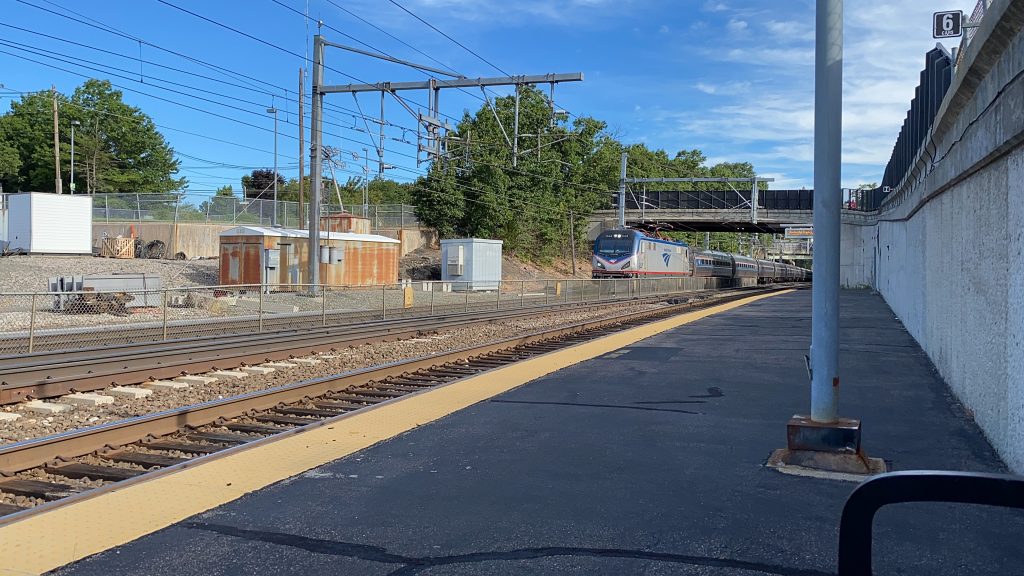
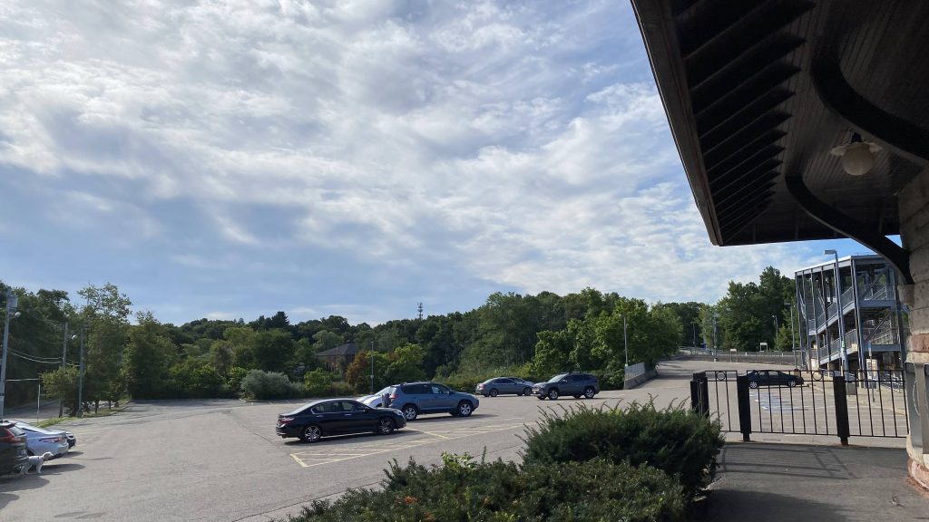
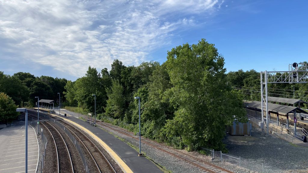
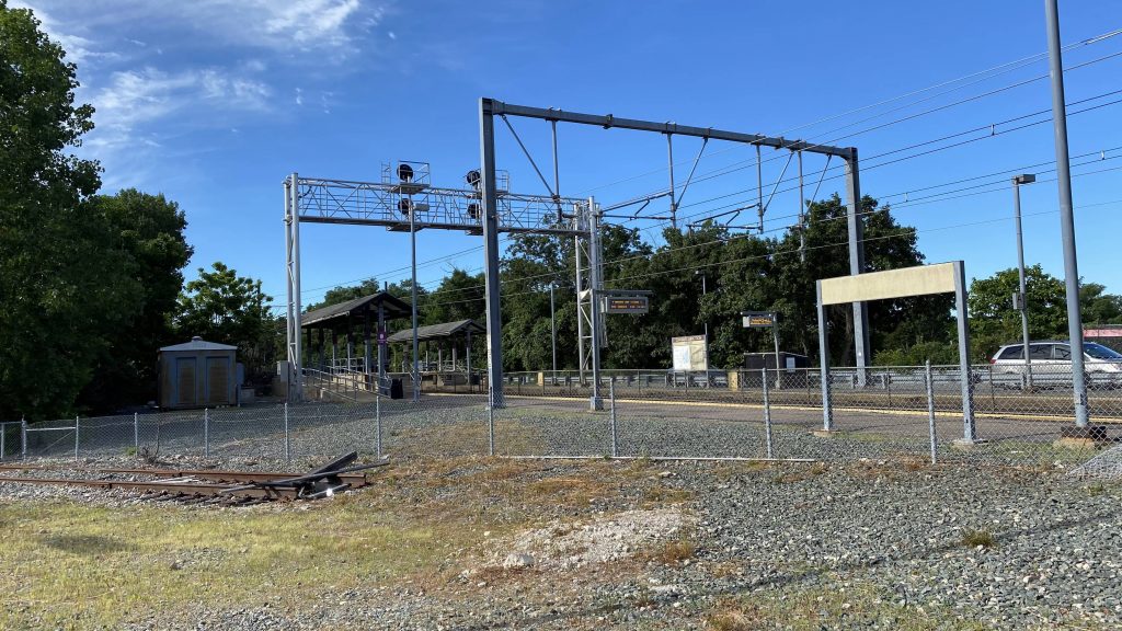
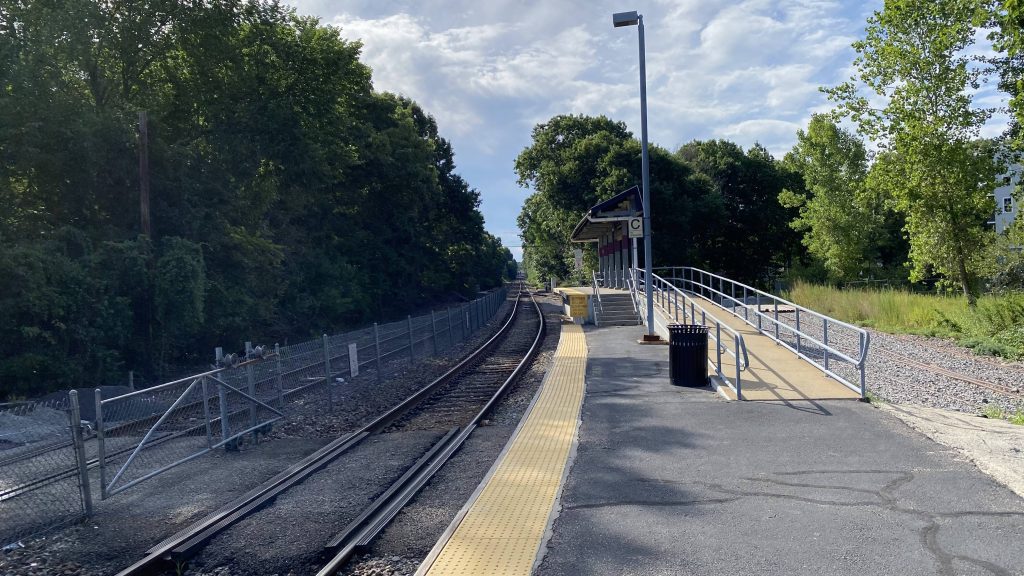
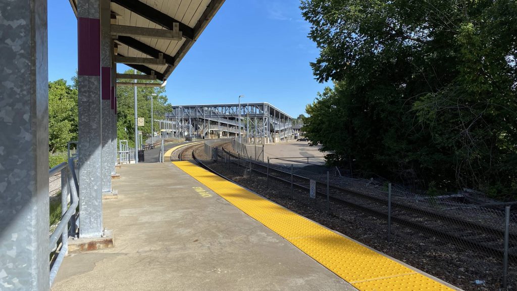
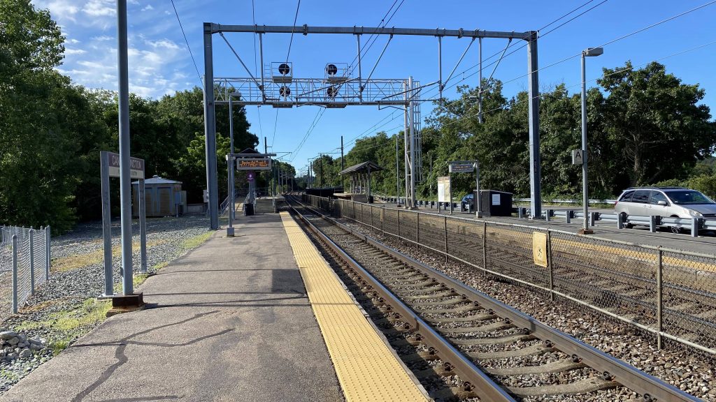
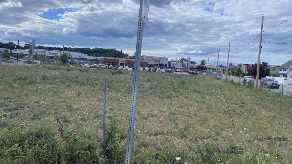
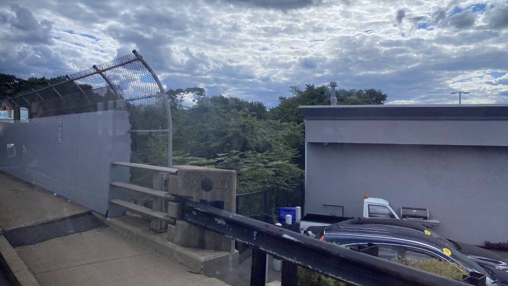
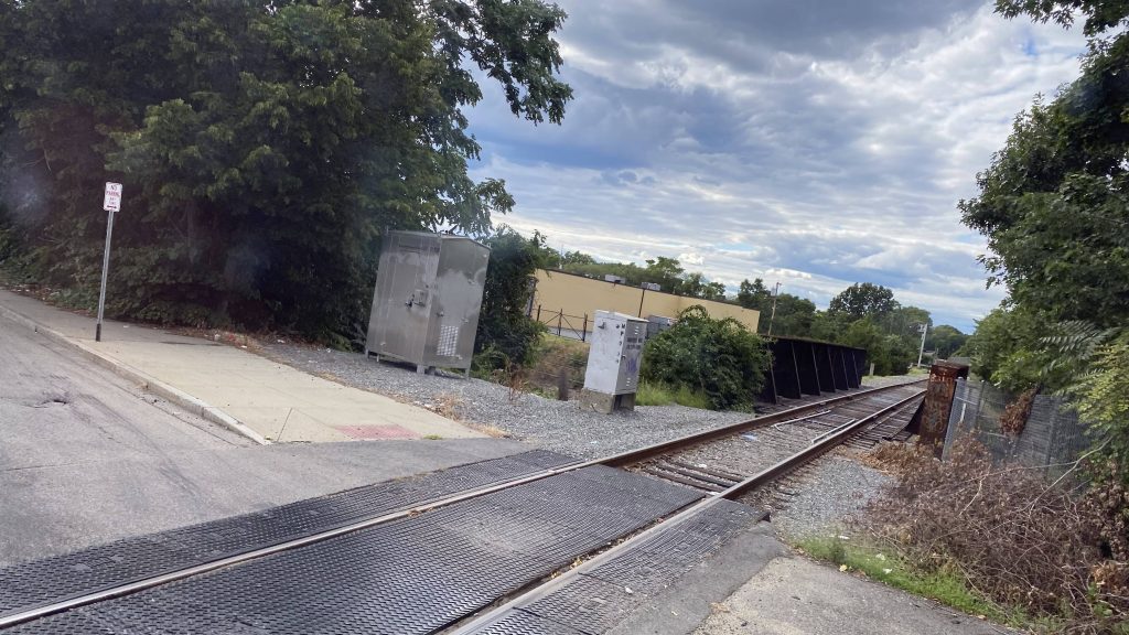
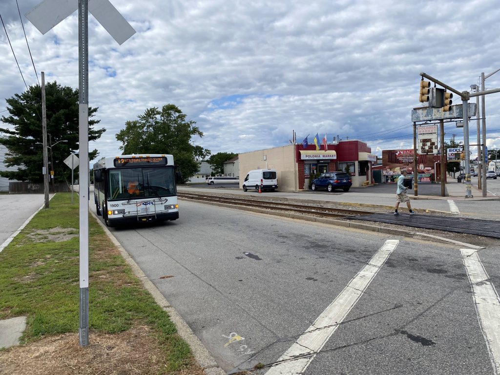
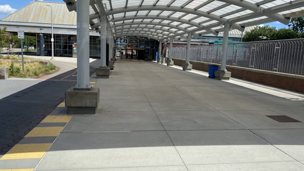
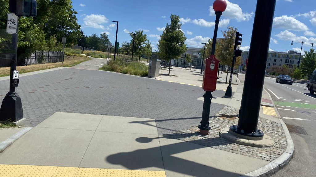
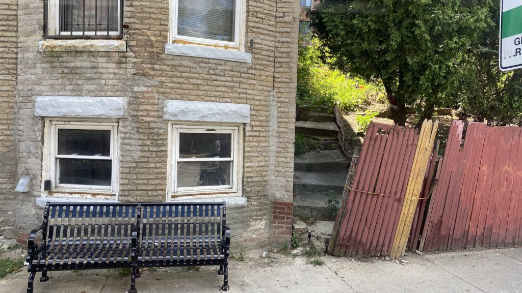
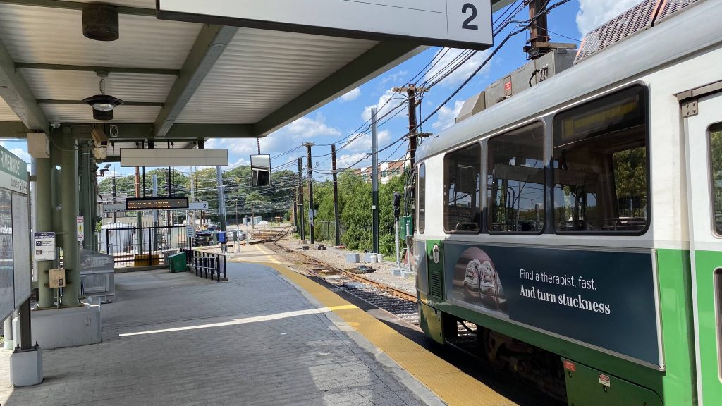
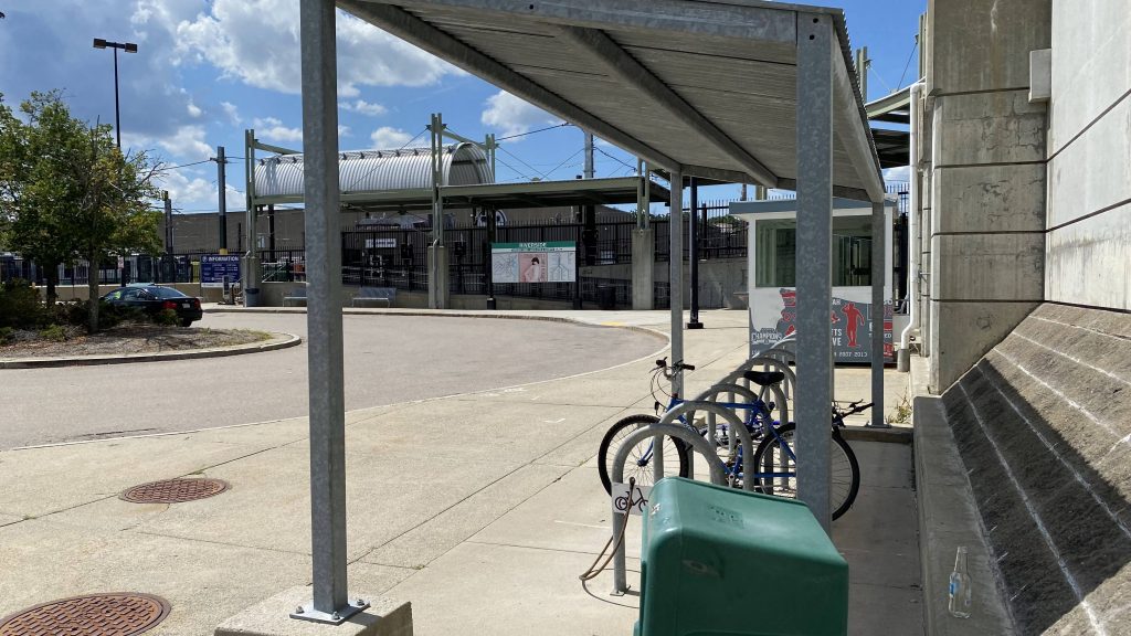
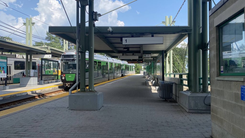
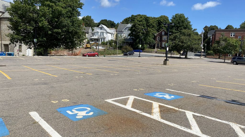
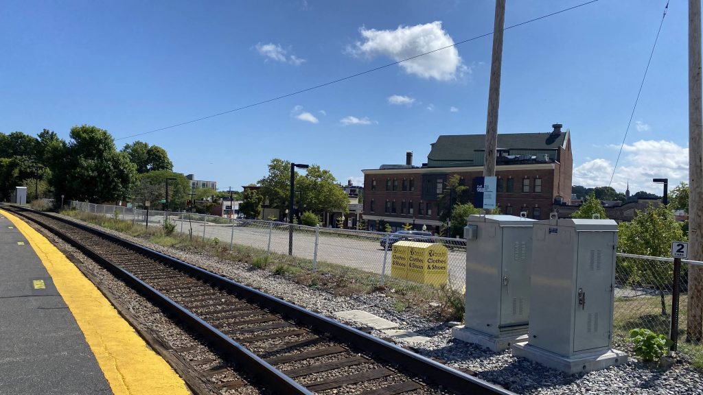
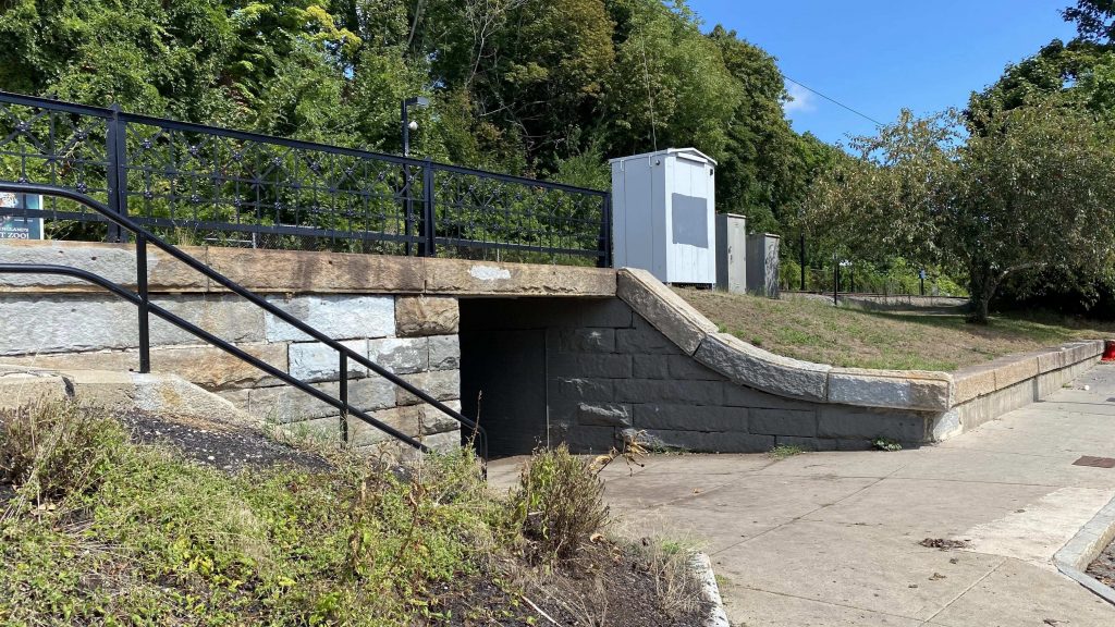
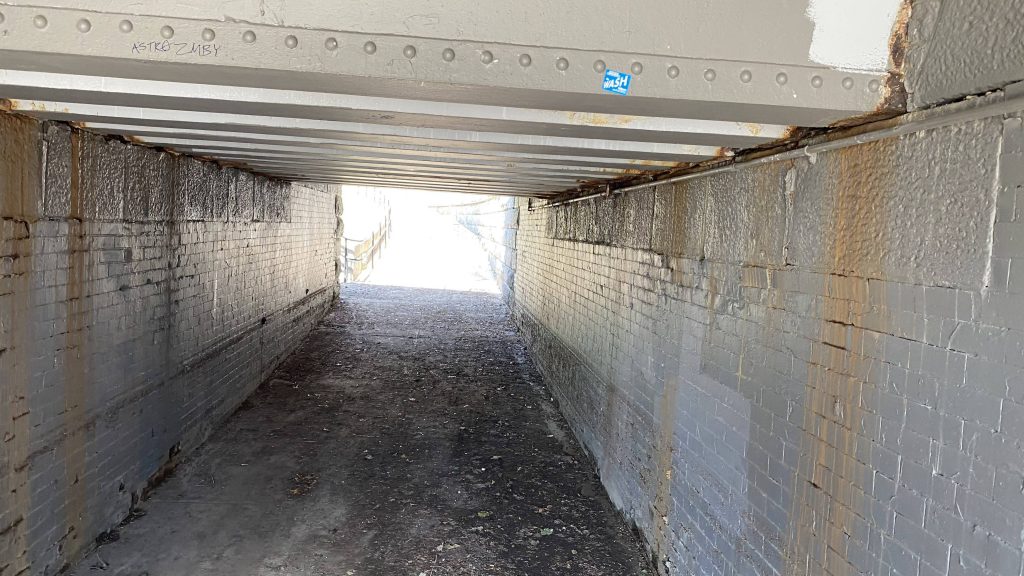
Alrighty, so the station is pretty much the same thing you’d expect from a Providence Line station, and I’d presume all the other Needham branch stations: a mostly low level platform with a mini-high. Not only is there a ramp from the mini-high to the low-level platform, there’s also a ramp coming from the Conway St. parking lot. However, that’s the only way to get to the station by an accessible mean, is via that parking lot. There’s an underpass under the tracks, should it be needed as well. The neighborhood itself doesn’t seem bad at a glance, and a number of bus routes pass by the station (with the 14 ending here). Oh yeah, as a fun tidbit, apparently mayor Michelle Wu is from around here.
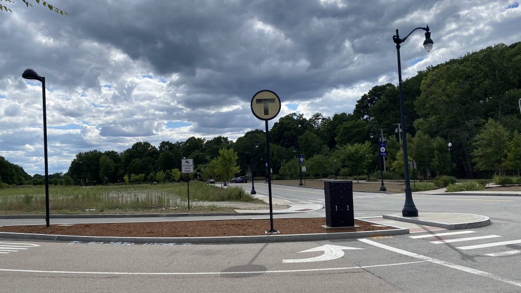
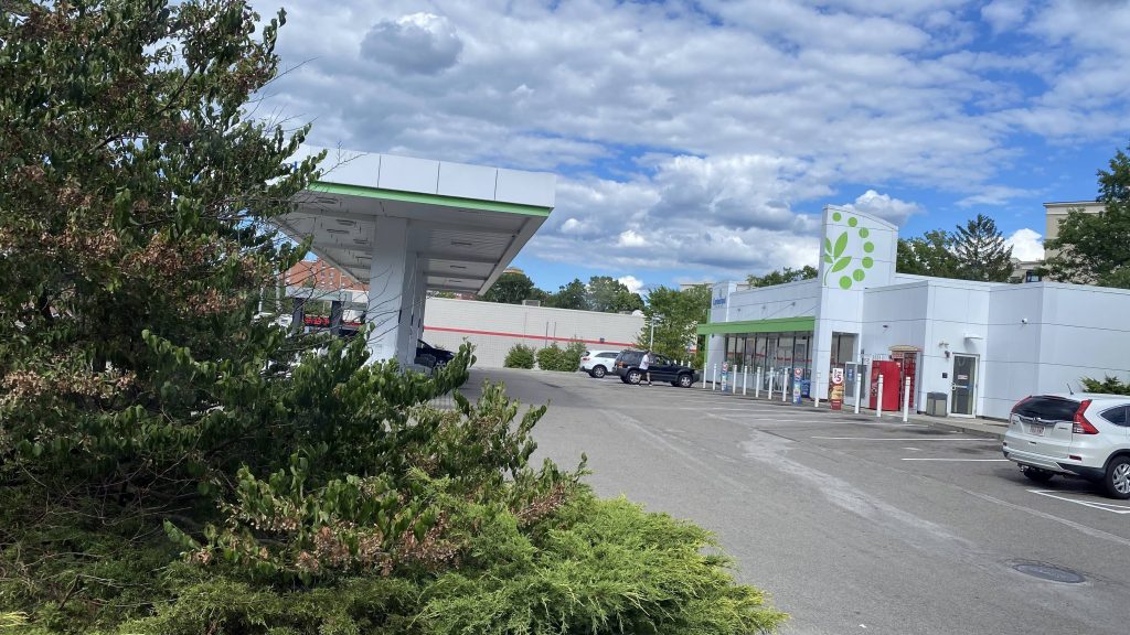
The good: If you want a straight shot into downtown Boston, especially should the Orange Line be shut down, this is your best bet! Sure, it’s slightly more than taking the bus to Forest Hills and a zone 1A or subway fare into downtown, but the option’s always there. Plus, a lot of bus routes pass through (or end) in the area, so there’s that as well.
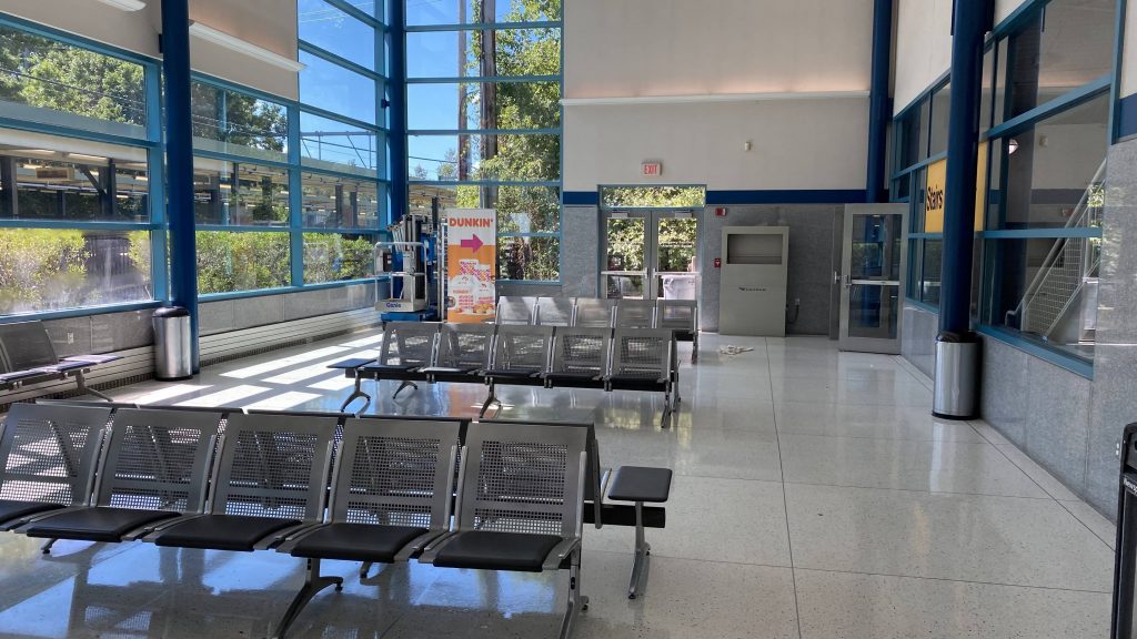
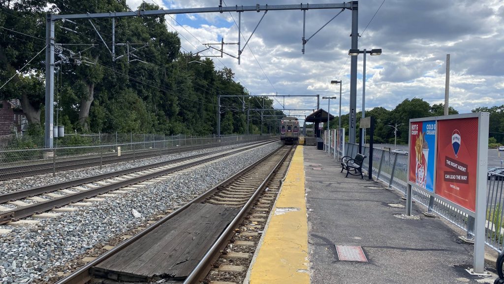
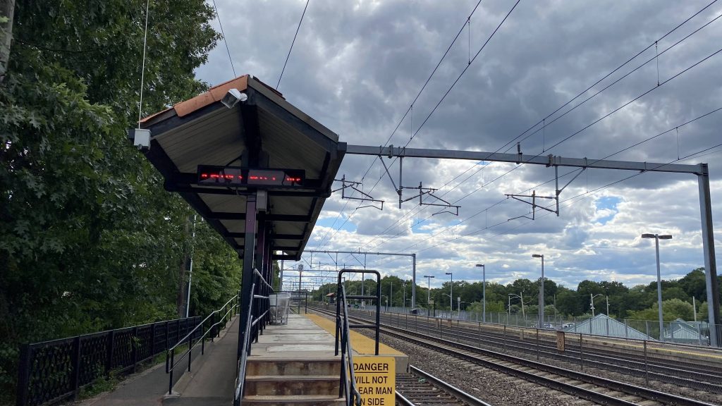
The bad: Why are there no benches????? I mean, it’s nice there’s a sheltered area, but it’d also be nice if there was a place to sit while waiting for the train to pull in. Also, the bus is more frequent than the Commuter Rail, unfortunately. Now, I’d propose an Orange Line extension to remedy this, but as of me writing this, that’s probably not a good idea.
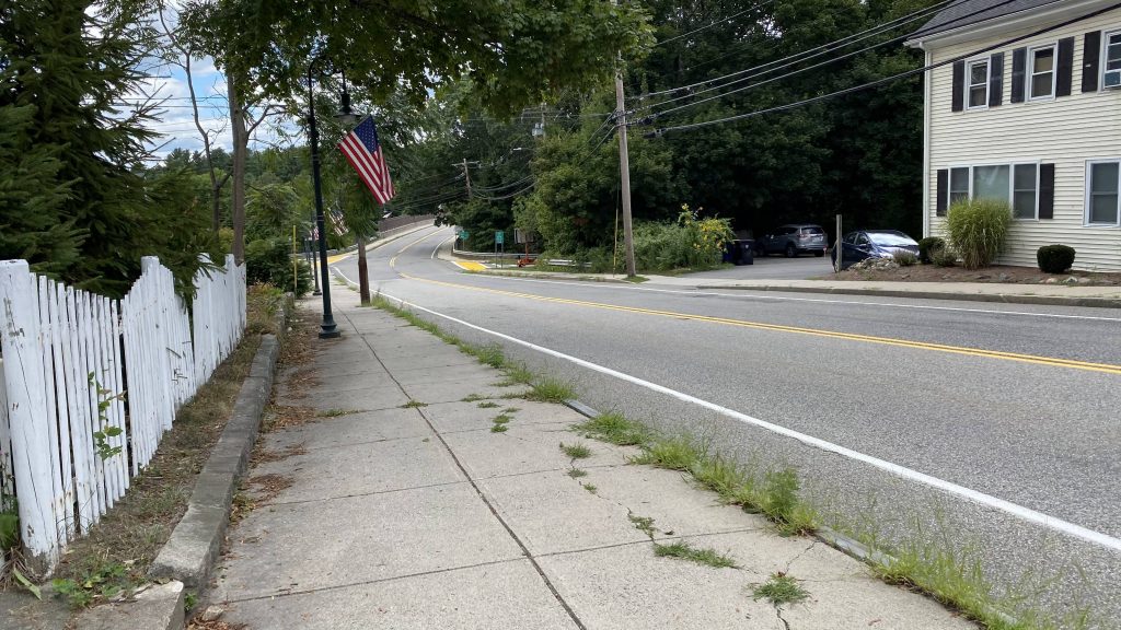
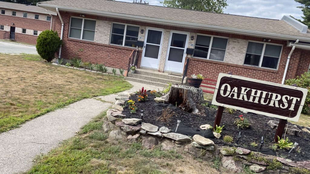
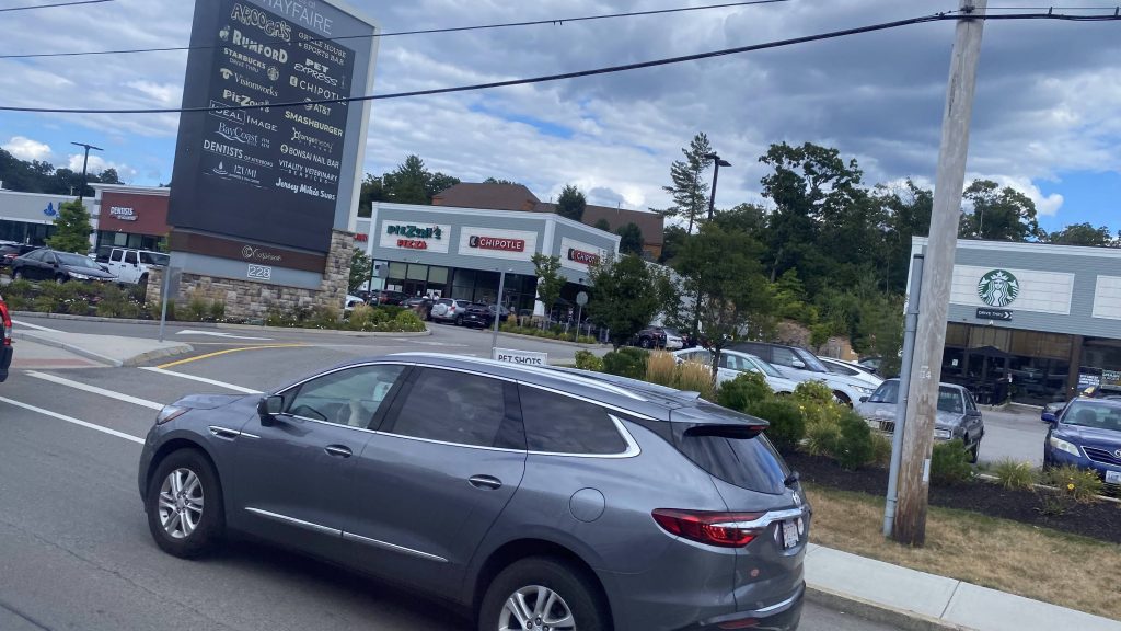
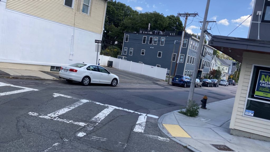
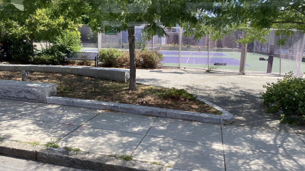
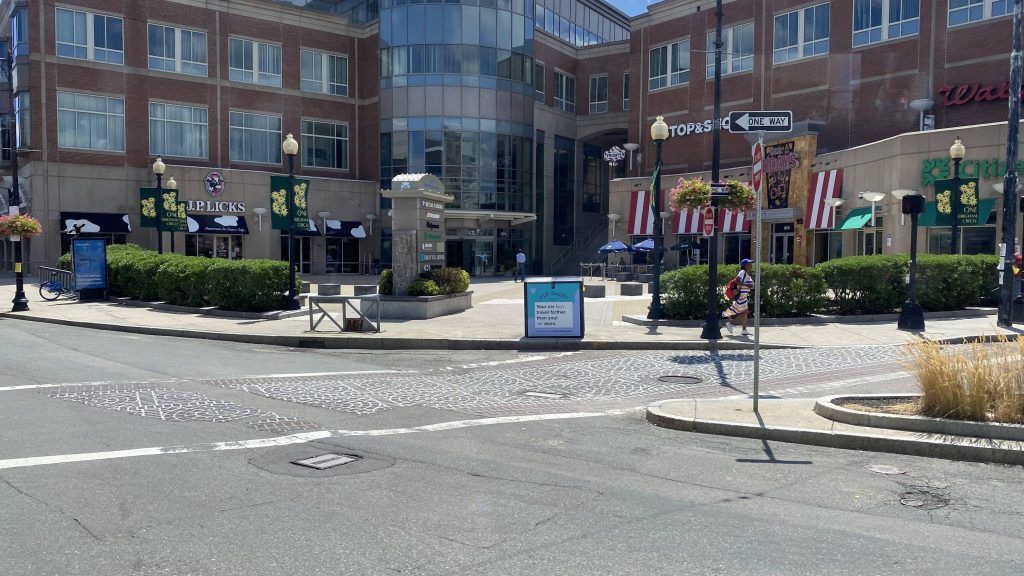
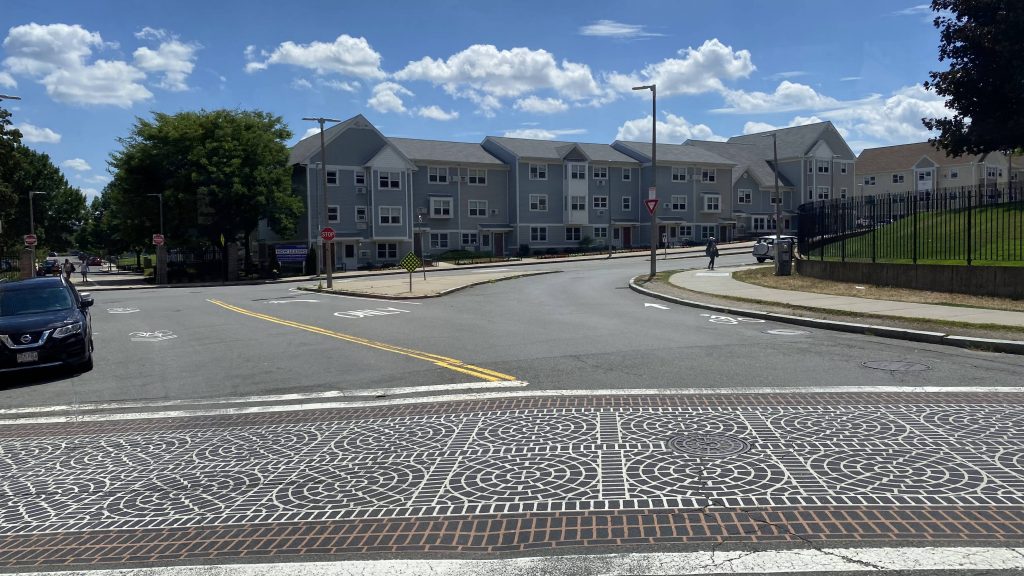
Nearby points of interest: Roslindale seems like a pretty nice neighborhood. I’m probably gonna be here much more doing the bus routes, but at a first glance, it seems like a decent area like Hyde Park, and I like Hyde Park.
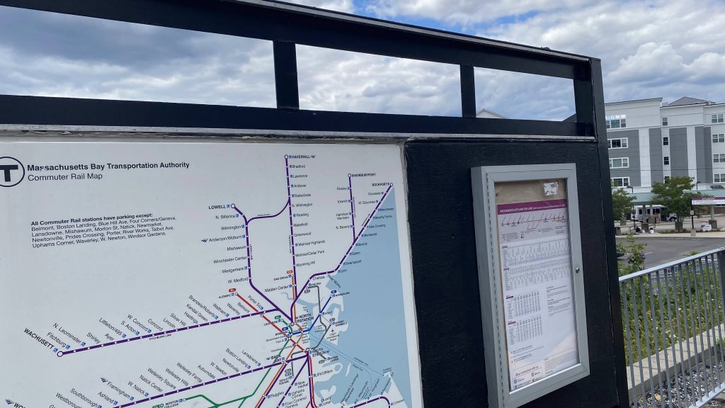
Transit connections:
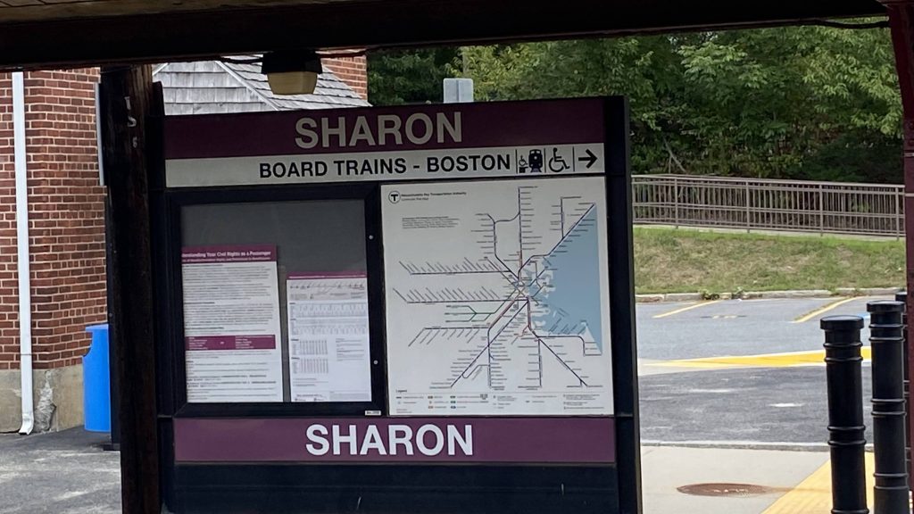
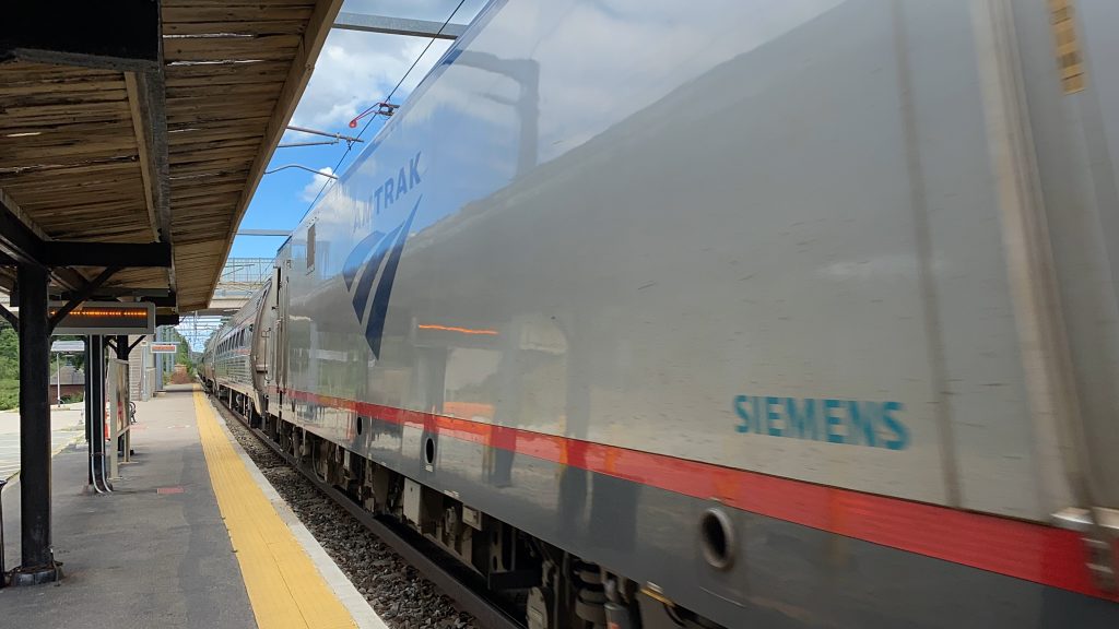
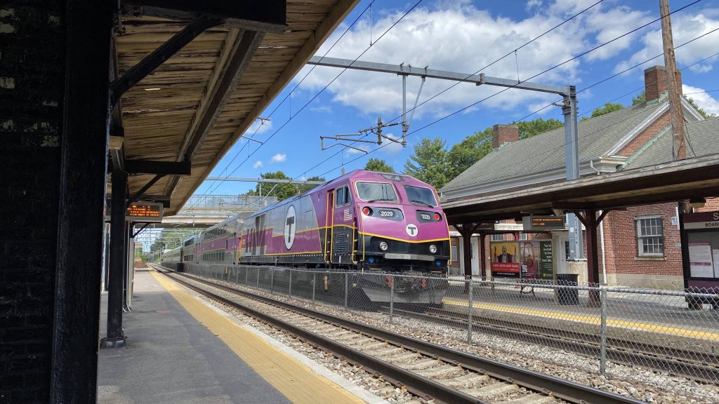
Commuter Rail (Needham)
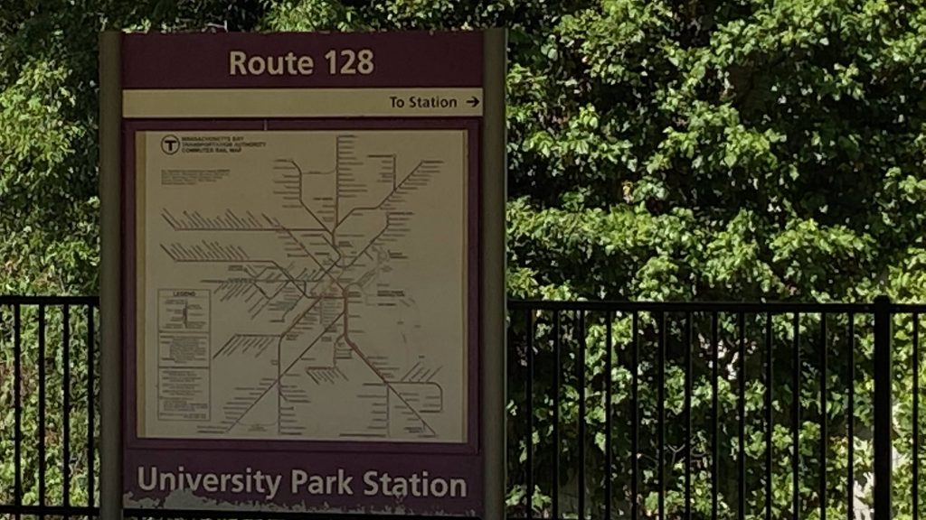
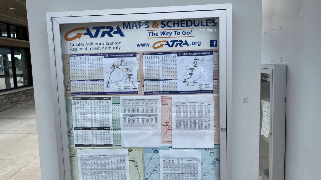
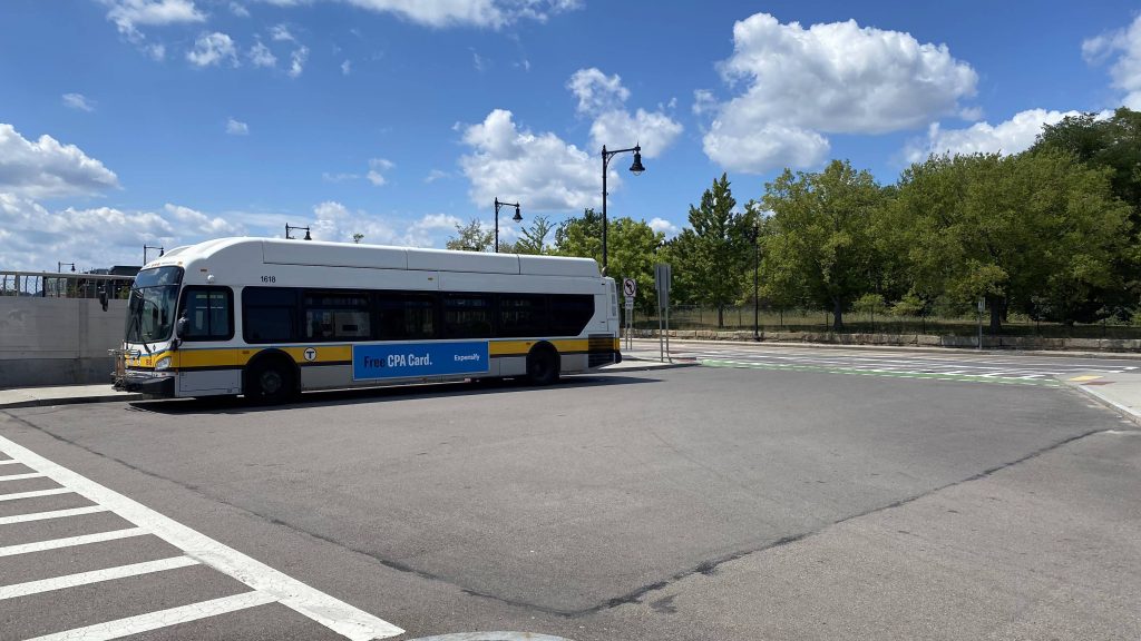
MBTA bus (14, 30, 34, 34E, 35, 36, 37, 40, 50, 51)
Overall, the neighborhood deserves better. It really does. For one, it’d be nice if the Needham branch was double-tracked (though that’s a rant for another entry). Furthermore, no seating????? Lastly, if I could change anything, I’d make the whole station high-level with a ramp leading up, rather than the mini-high setup. And, unfortunately, due to a lack of seating, I’d have to deduct more than I did from Hyde Park.
Rating: 4/10