69 (Wakefield/Narragansett/Galilee)

Hehe, nice. Alright, I promise for this one I’ll keep the sex jokes to a minimum. Yes, I’m fully aware that the route is numbered 69. And yes, I’m aware I’m gonna have to do the T’s route 69 at some point. And with that out of the way, here’s a history lesson.

Hehe, nice…

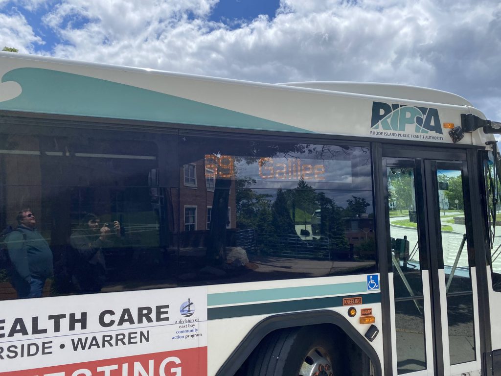
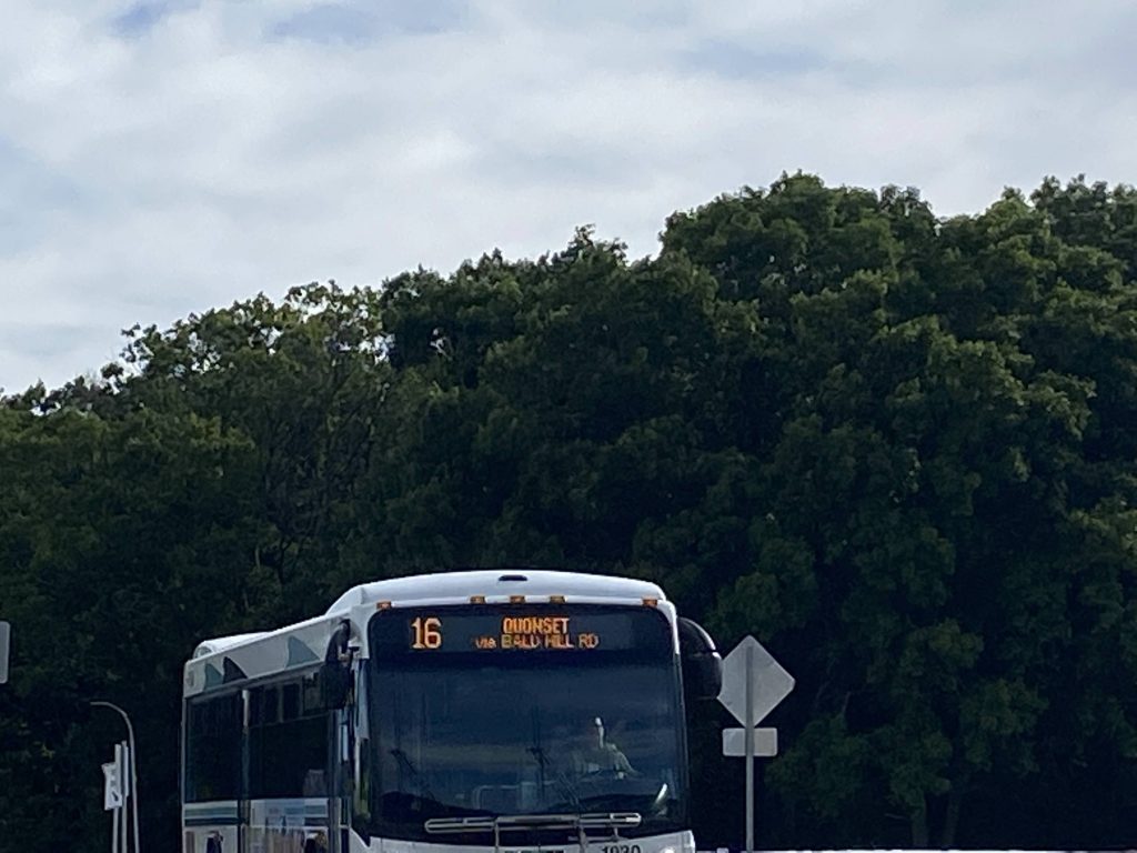
So, in the before times, RIPTA didn’t have the 69. Or rather, it existed, just as another part of the 66. As such, for short trips, RIPTA also had the 62 to supplement the 66. But, in fall 2021, RIPTA decided “well shoot, the 62 isn’t getting ridership, and the area south of URI isn’t that much a ridership generator.” (I presume) and thus, they axed the 62, gave additional resources to the 66 for 30 minute headways, and created the 69, a dedicated URI-Galilee route. So, is the route a 6.9/10? Let’s see.

A campus building at URI
Transformers!

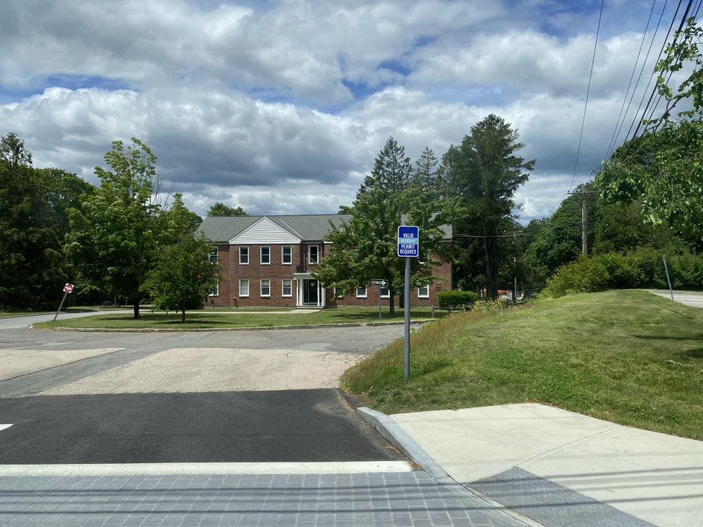
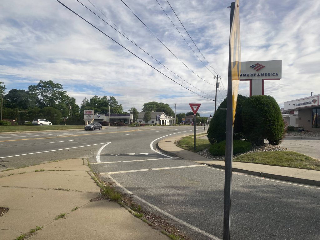
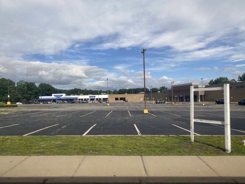
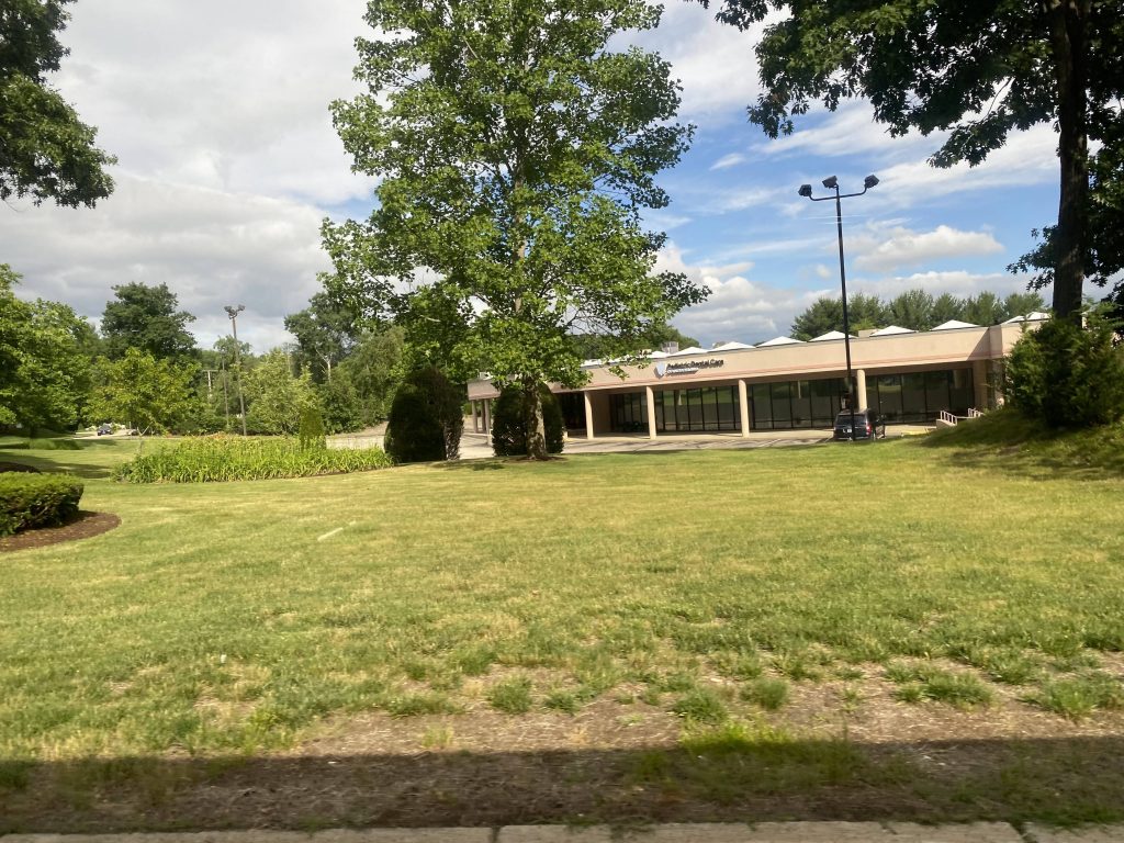
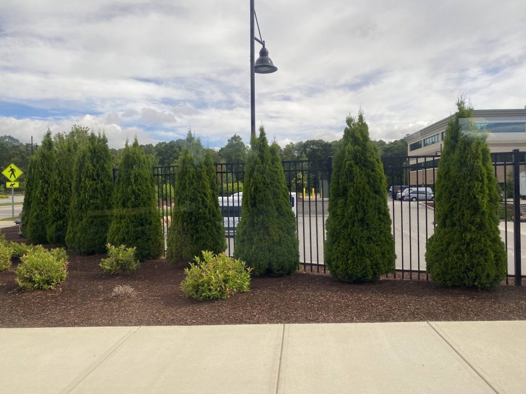
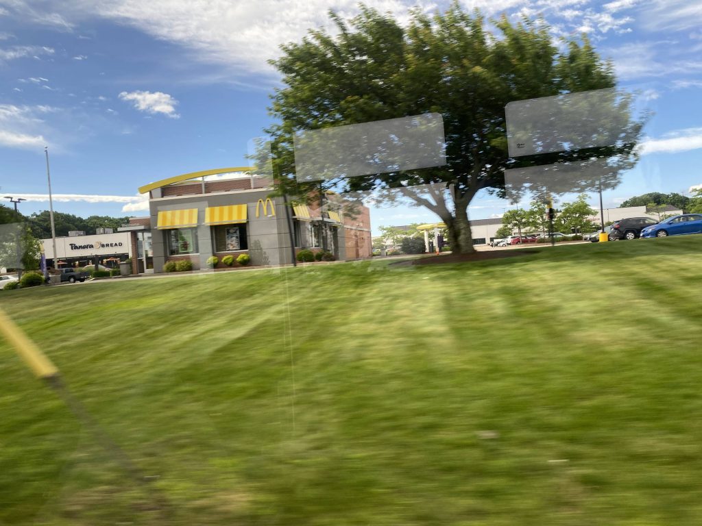
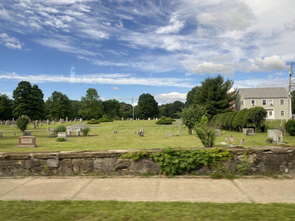
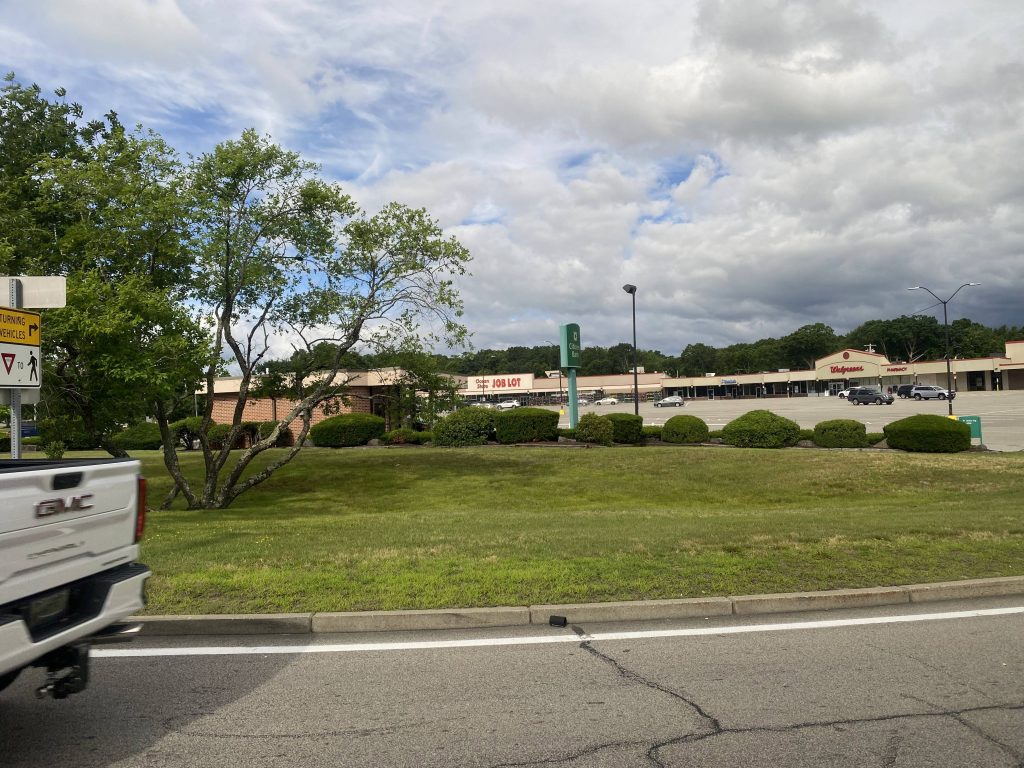
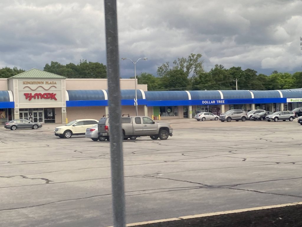
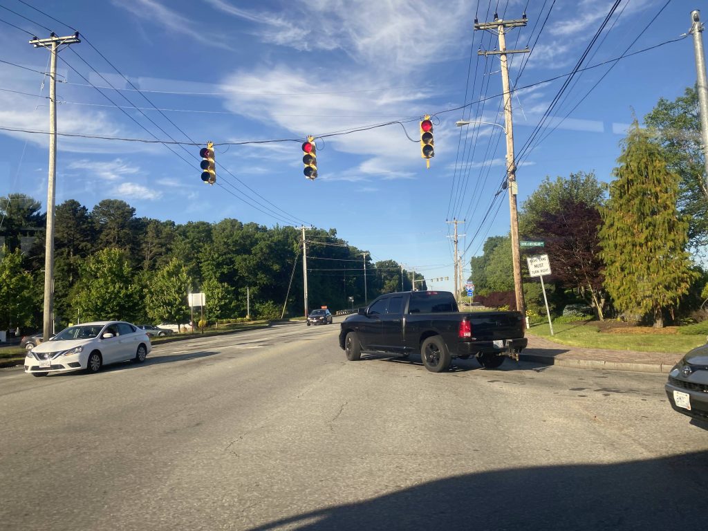
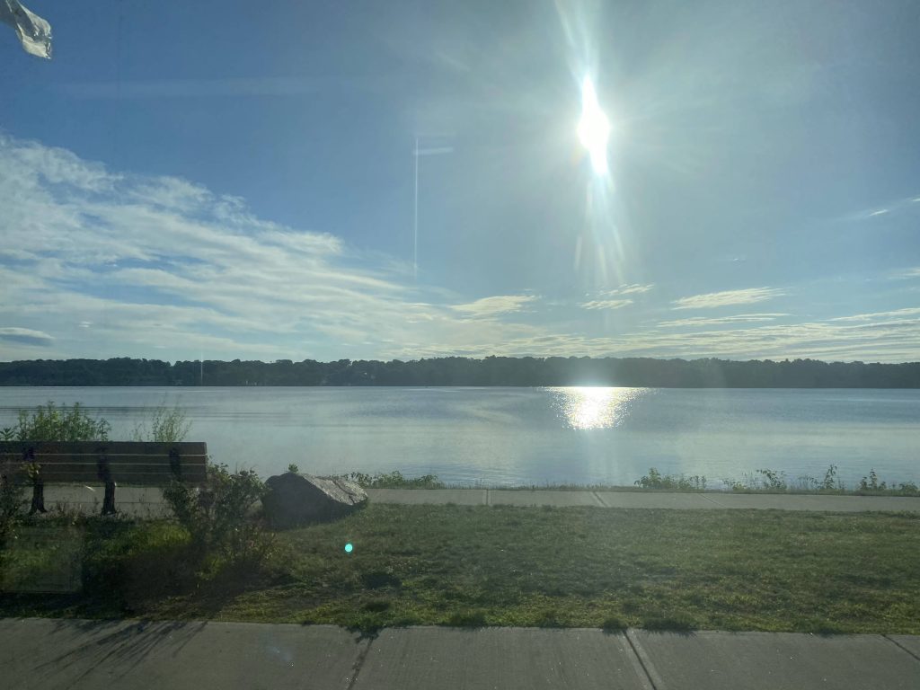
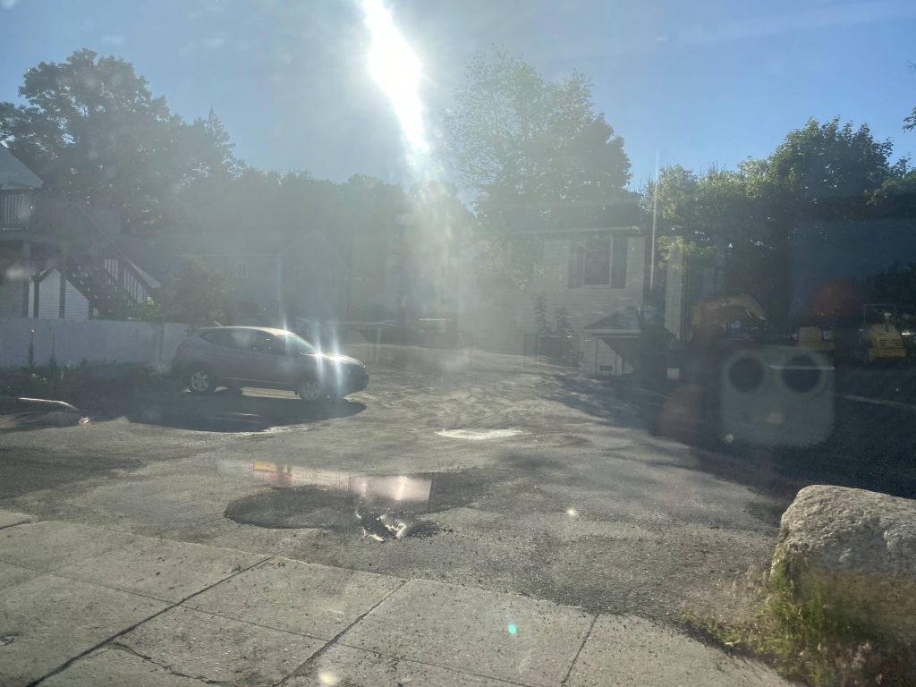
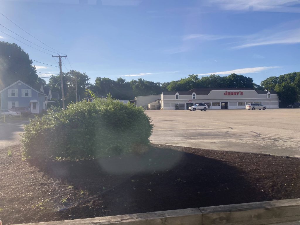
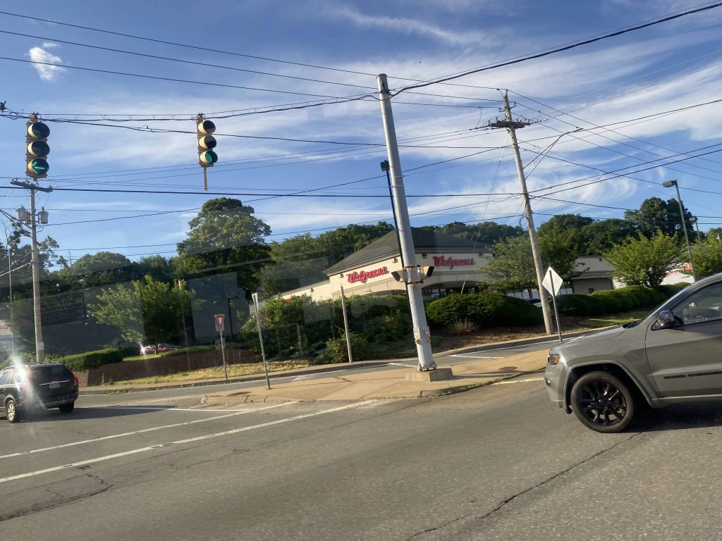
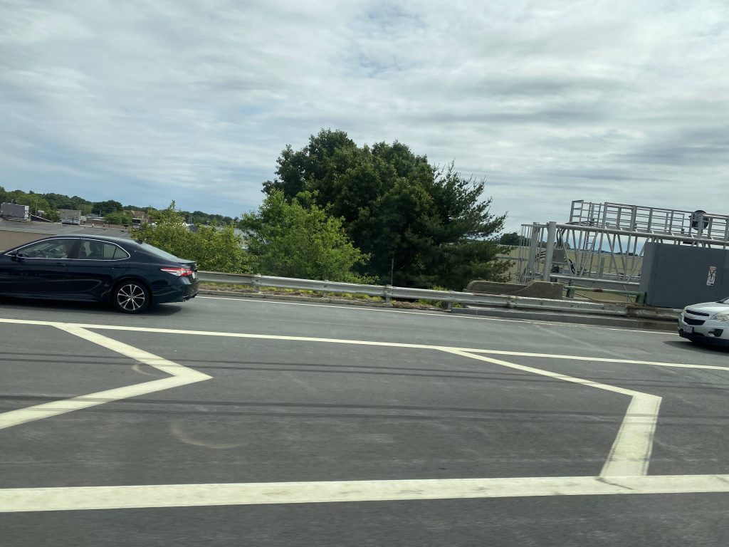
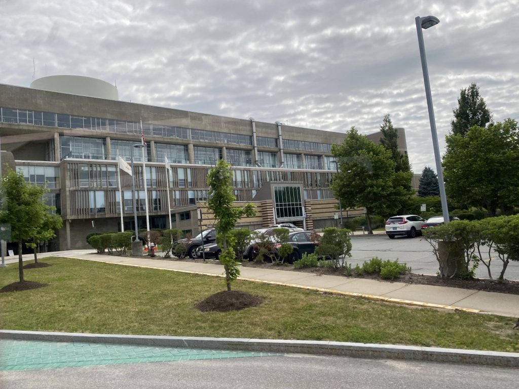
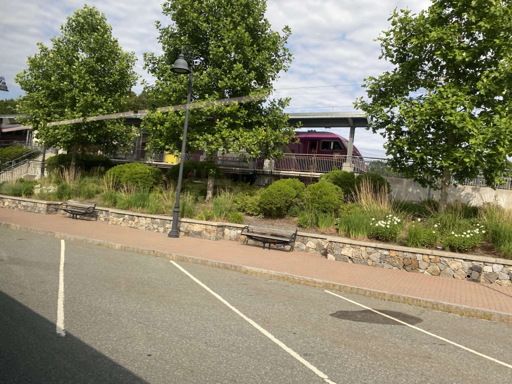
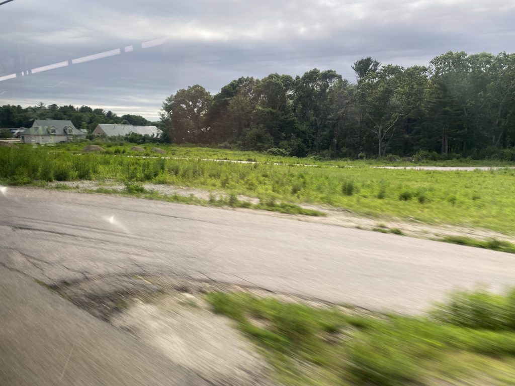
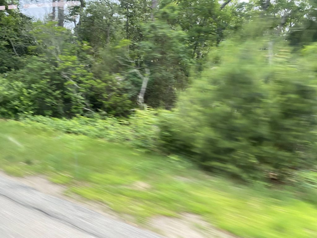
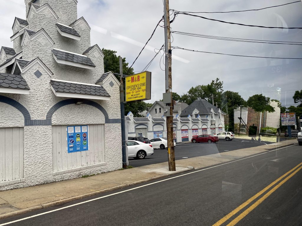
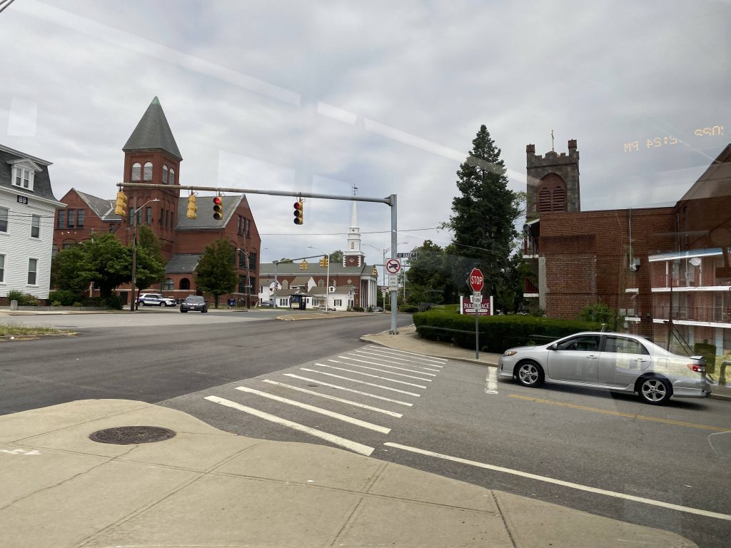
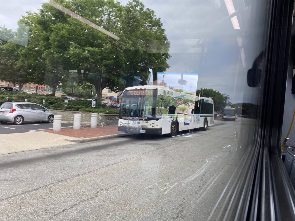
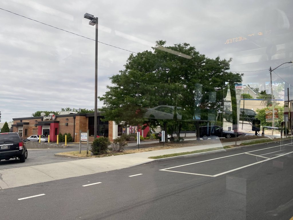
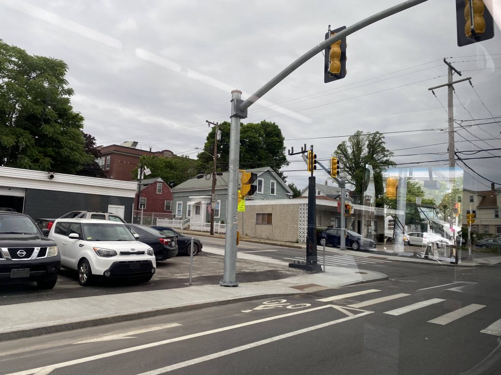
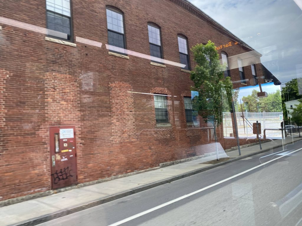
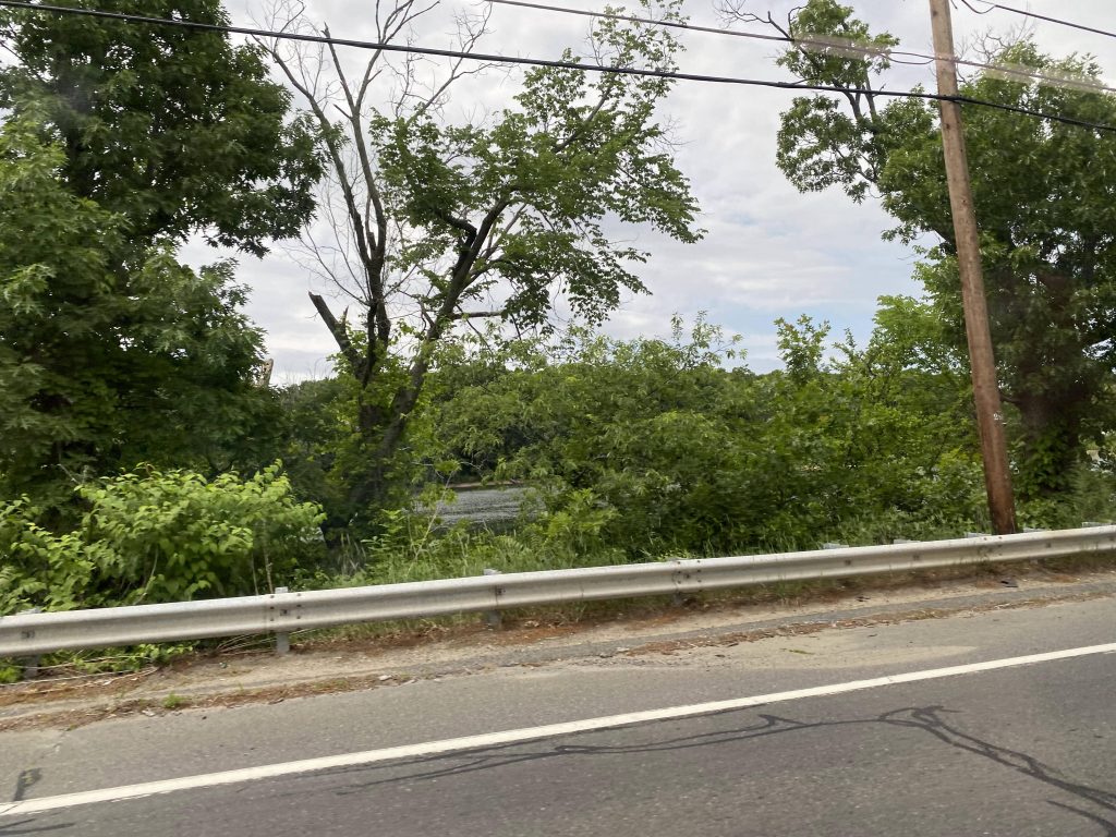
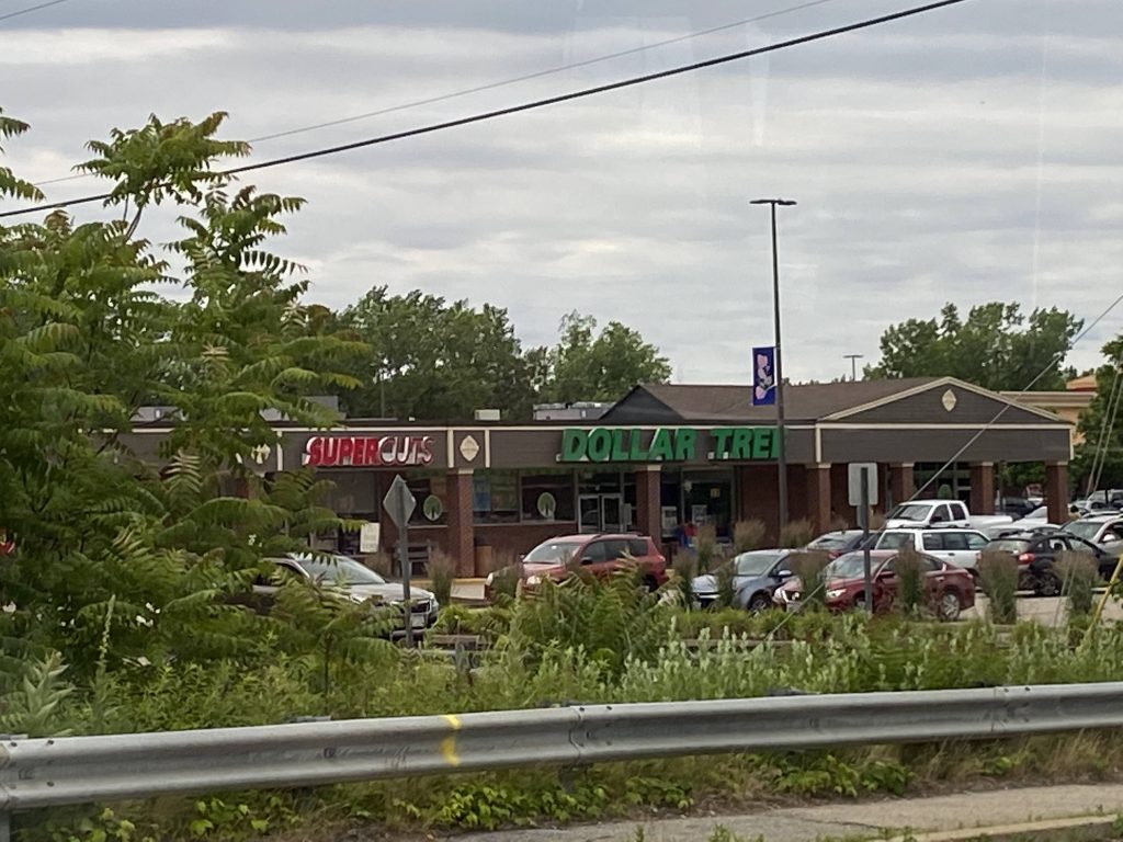
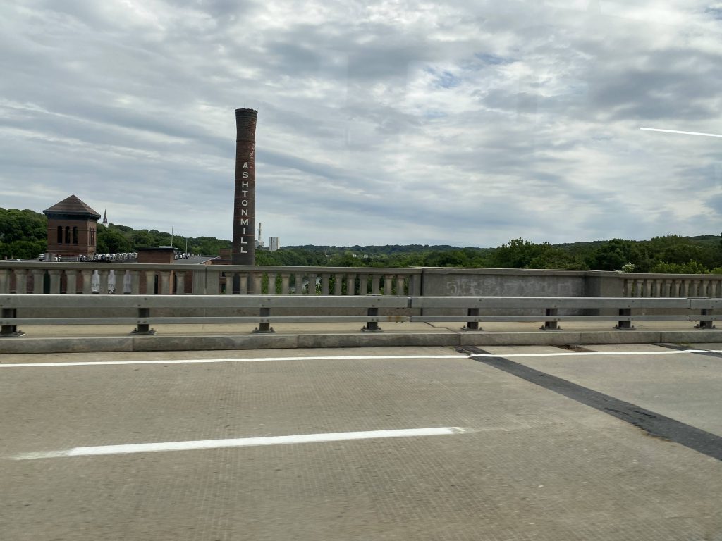
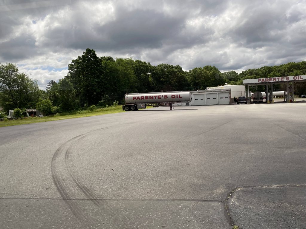
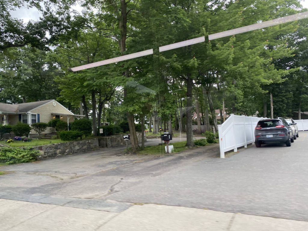
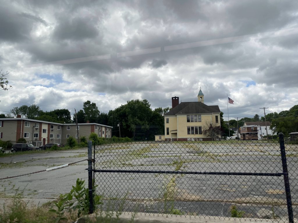
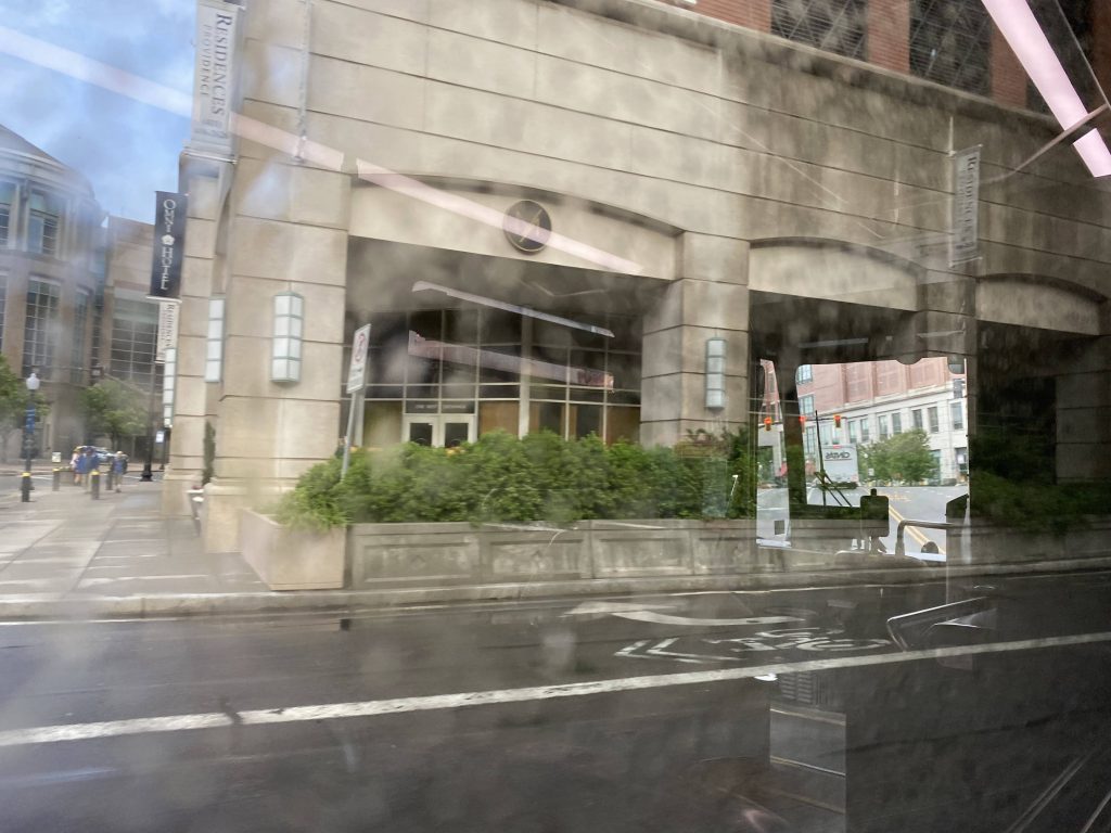
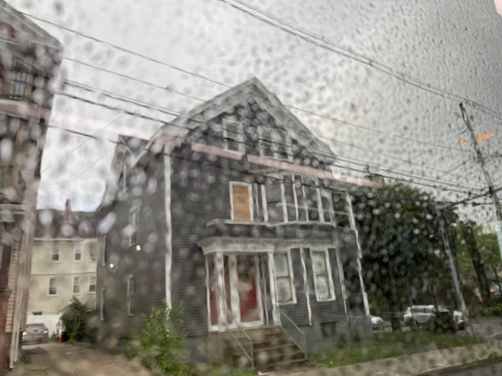
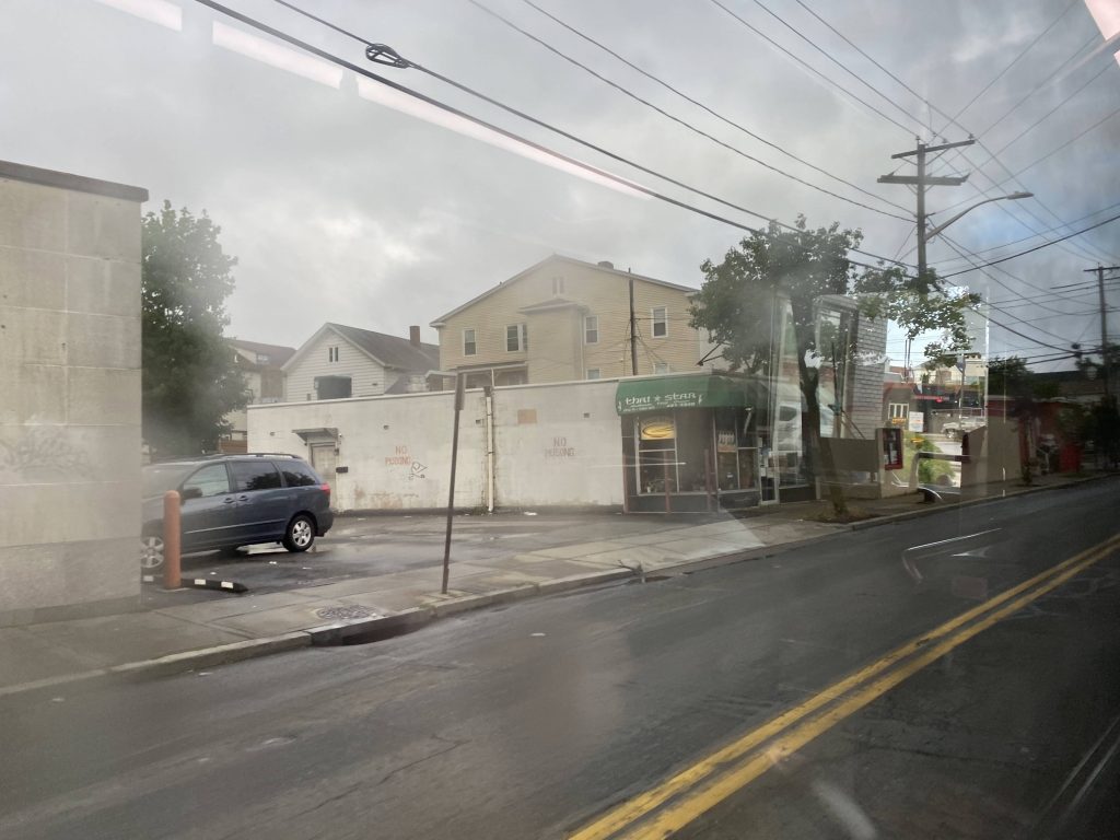
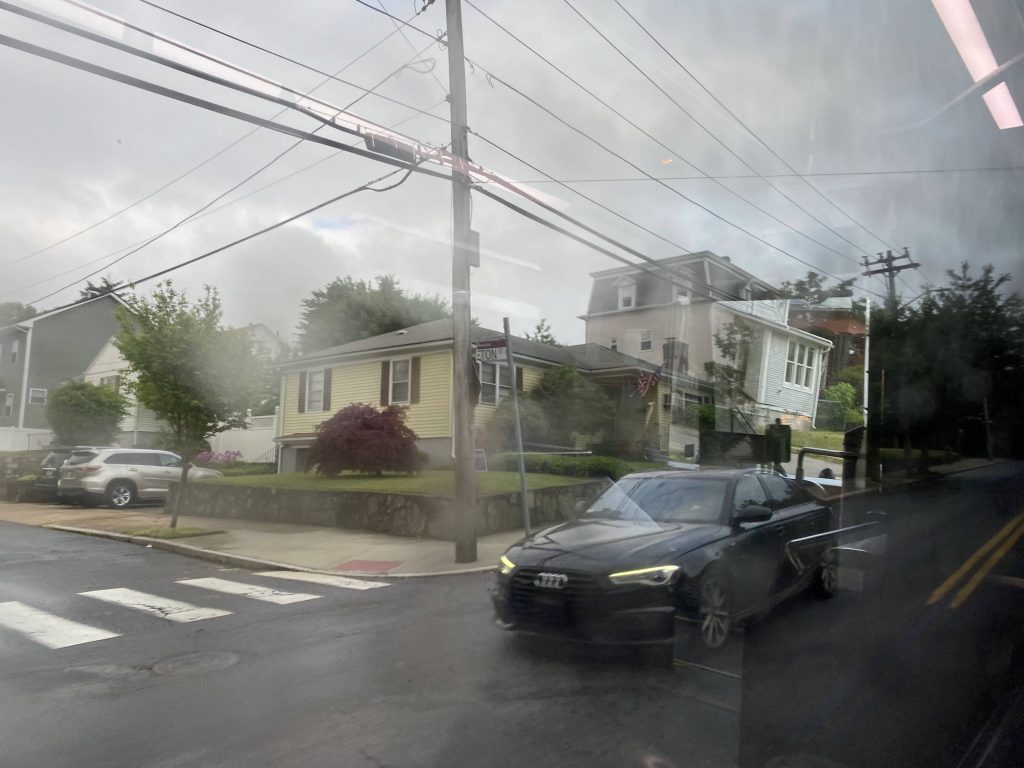
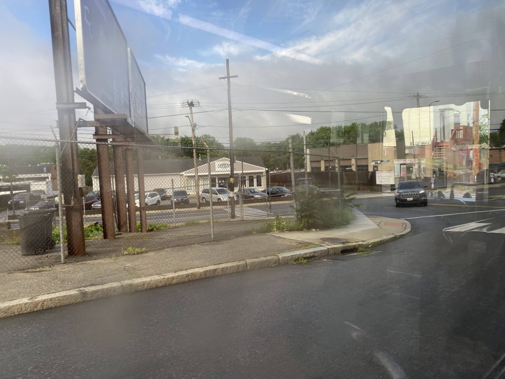
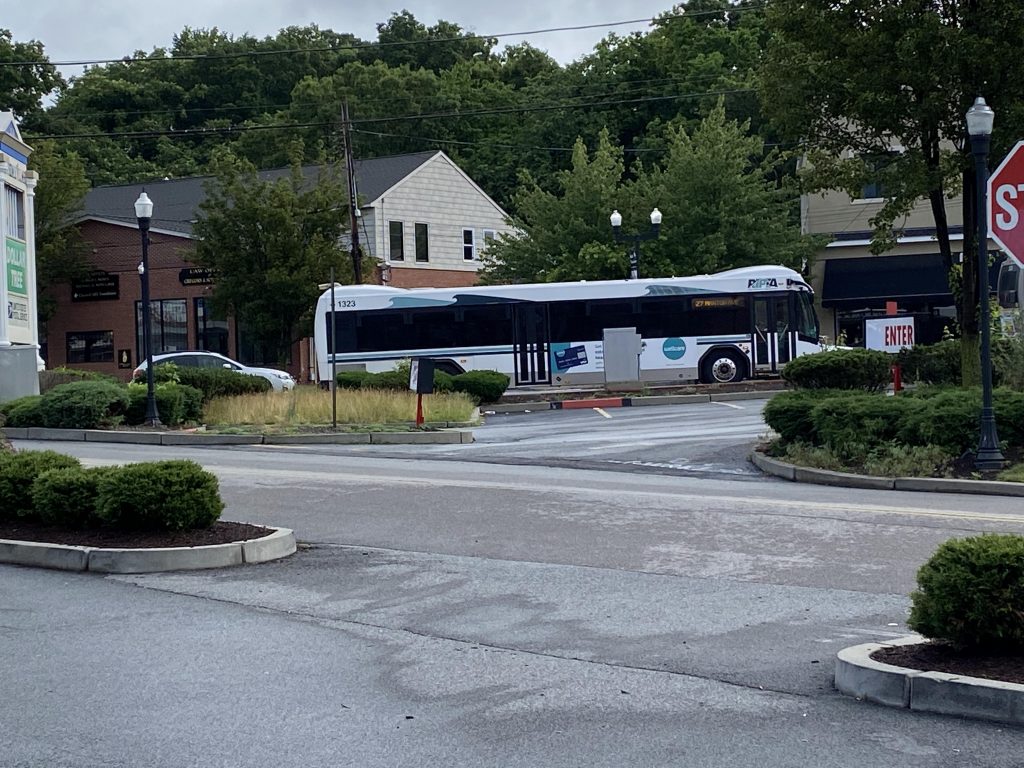
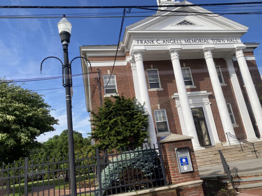
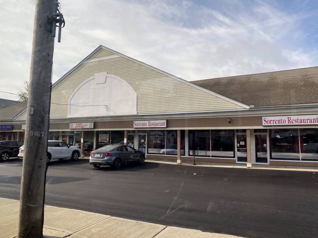
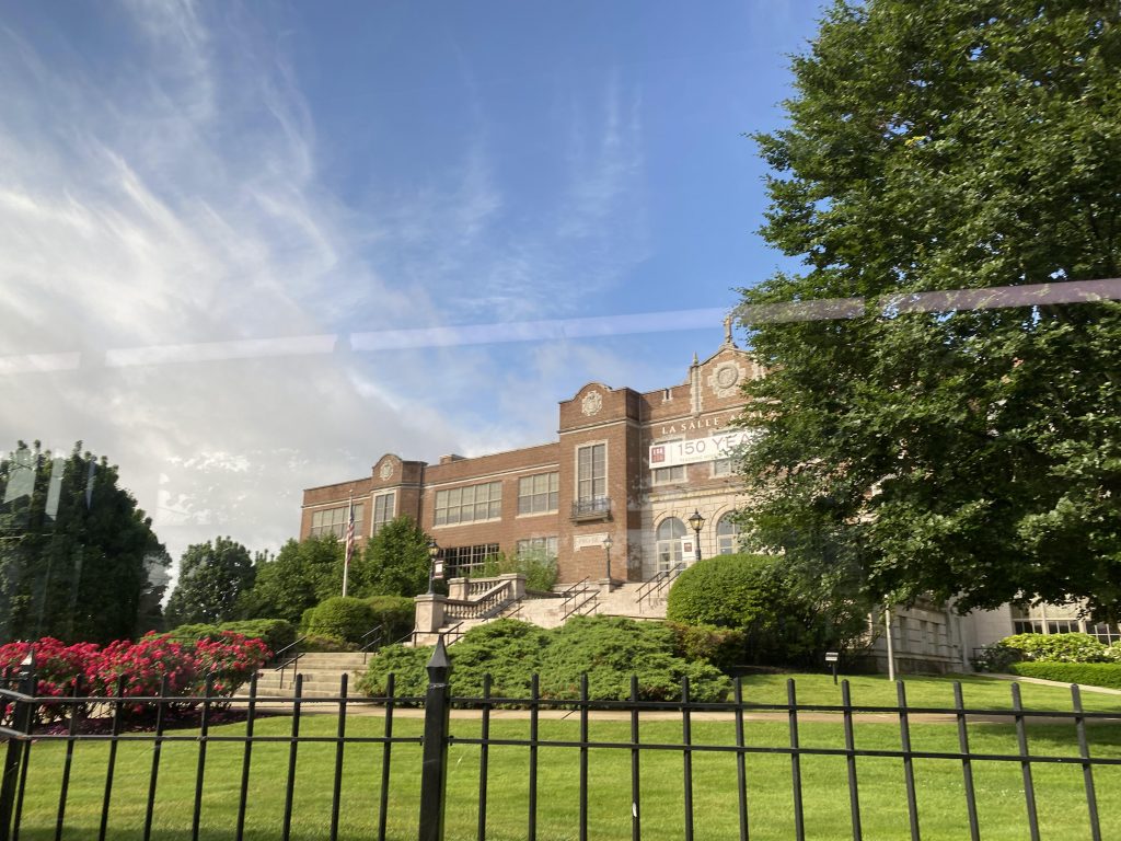
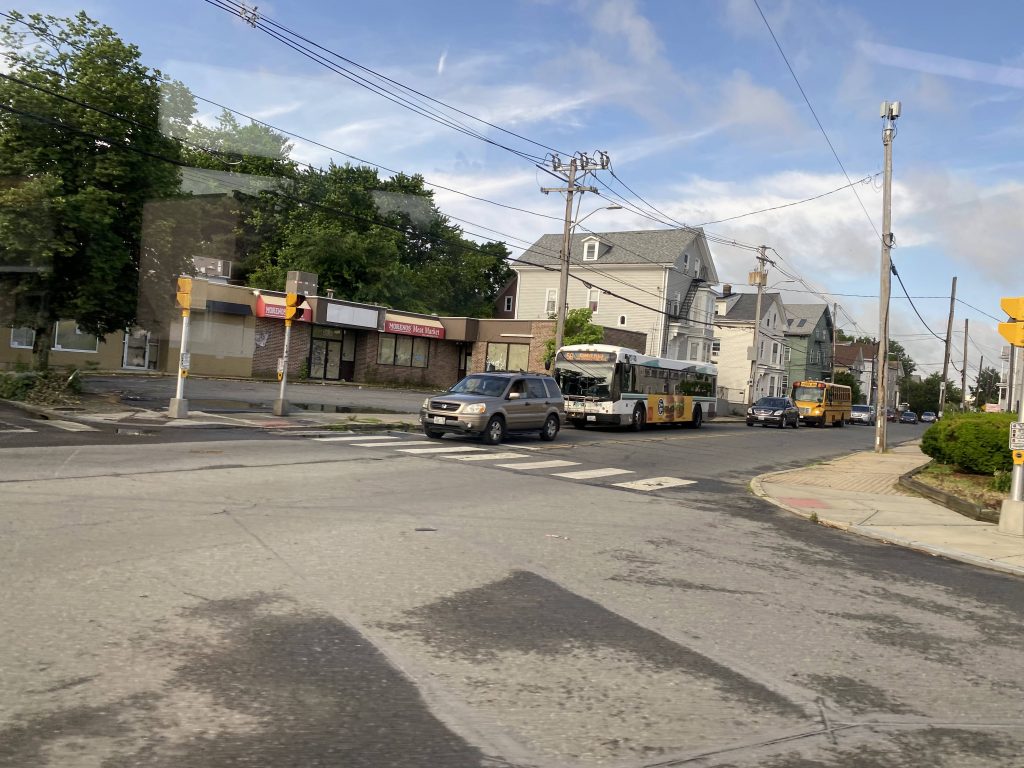
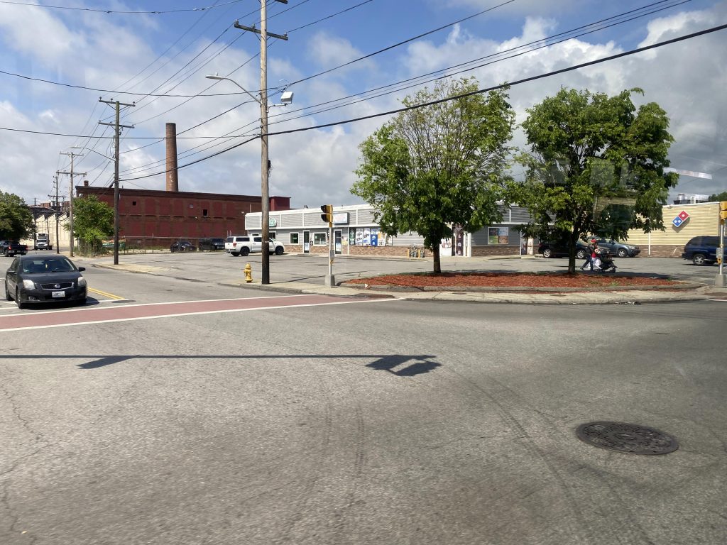
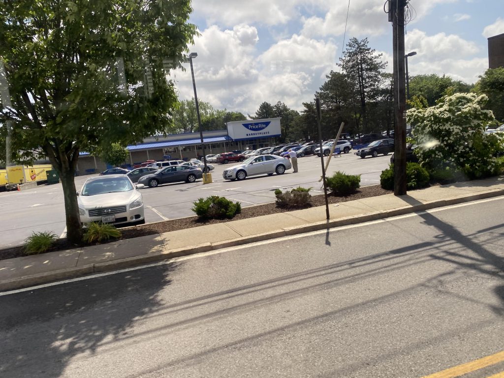
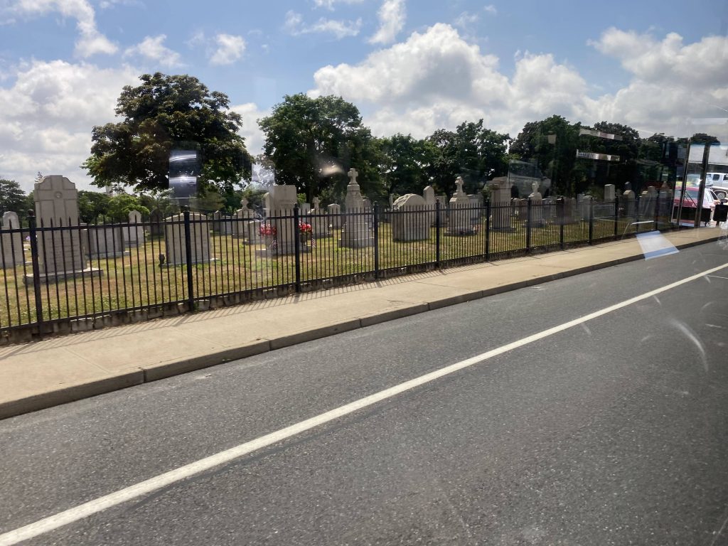
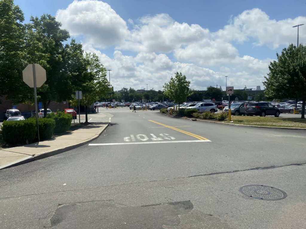
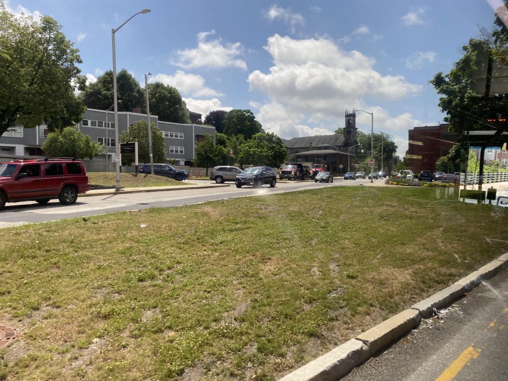
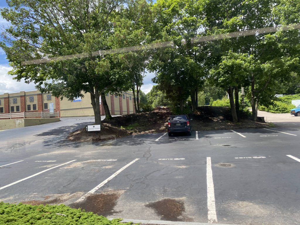
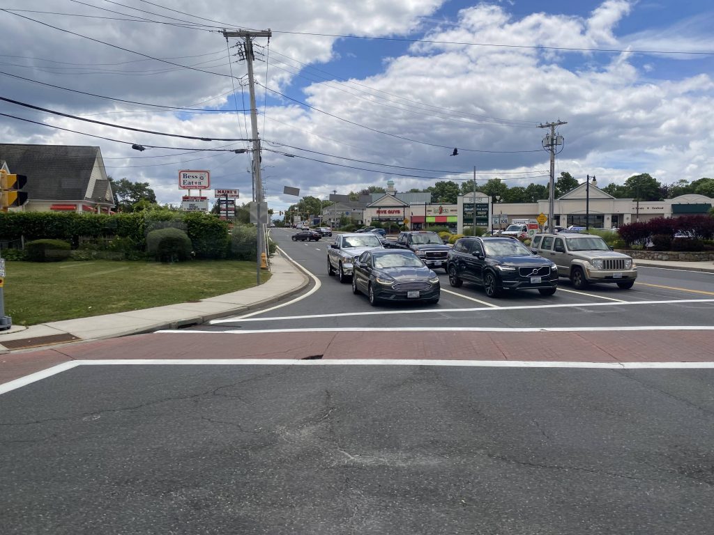
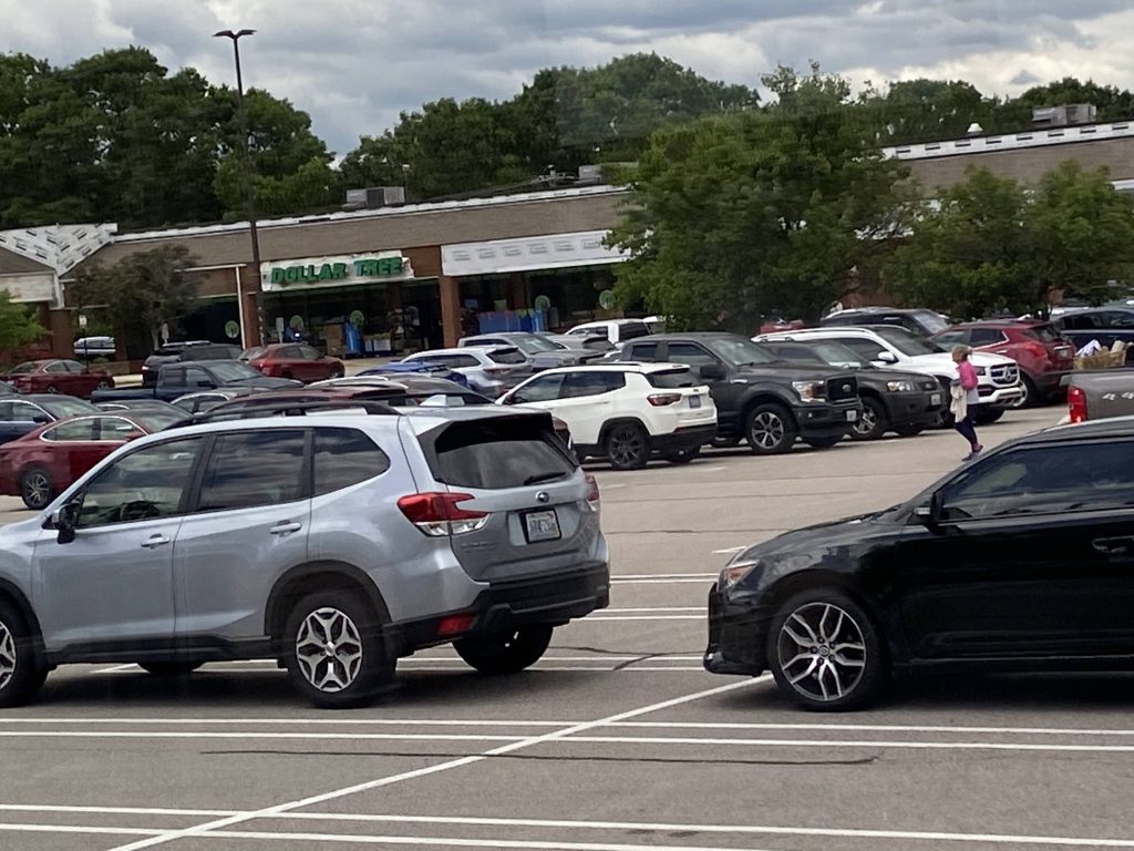
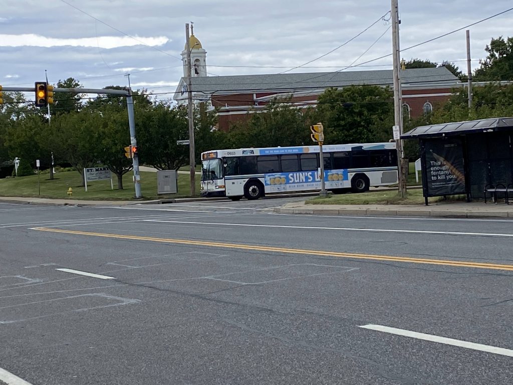
The route leaves URI and goes left down Kingstown Road, and goes right to stay on Kingstown Road. From here, it’s going through largely woodlands until eventually the route enters the village of Peace Dale. Who’s Dale and why does he want peace, is beyond me. We go through the village and take the first exit at the roundabout down High Street. It’s still the same, eventually also passing South Kingstown Town Hall, and banging a left down Main Street. From here, we keep going straight, entering Wakefield and going past the Wakefield Mall. It’s here that connections to the 65X can be made. Shortly after the mall, oh shit we’re express!

A clinic or something, I don’t remember
A store in Peace Dale
A parking lot
Welcome to Wakefield, I guess
The freeway!

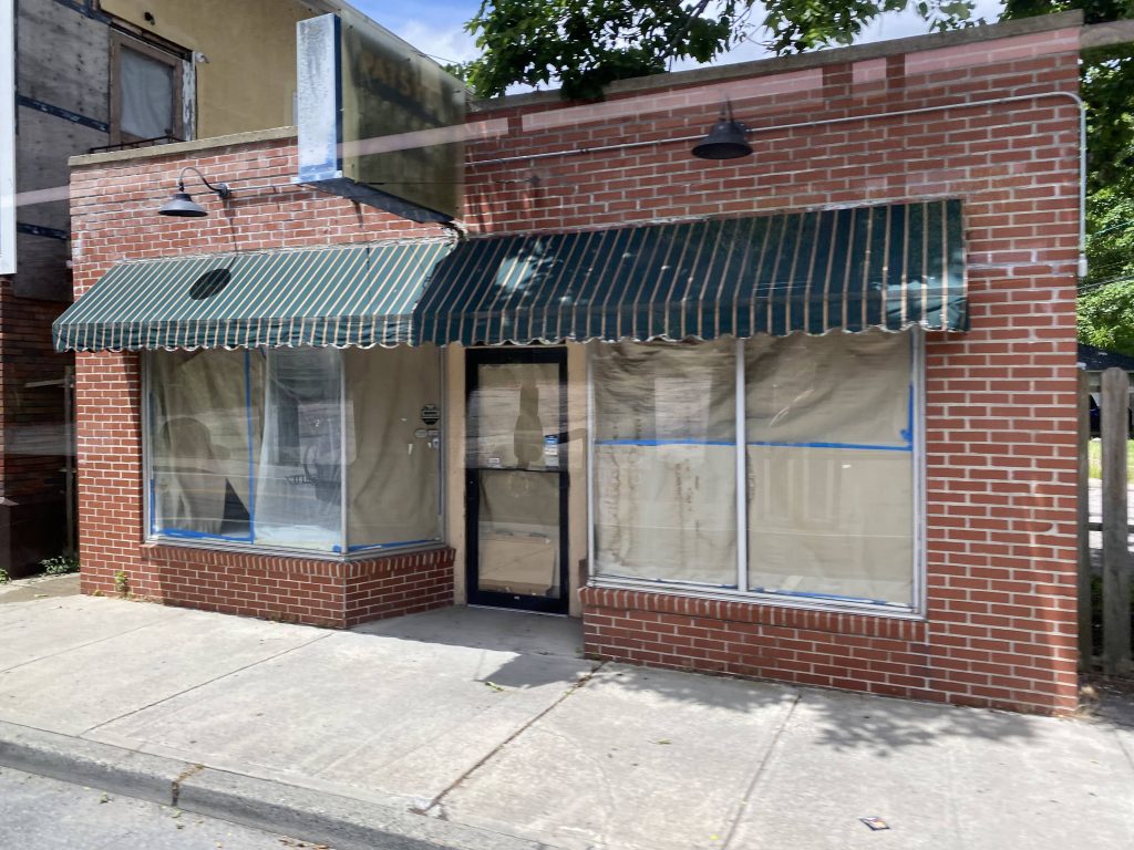
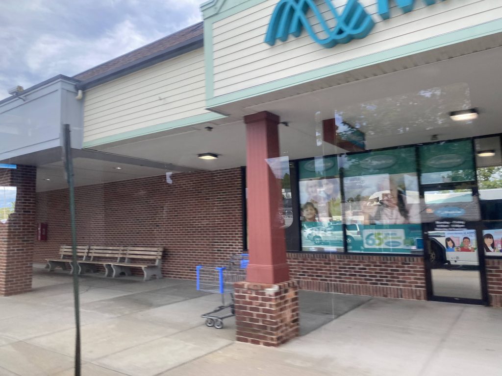
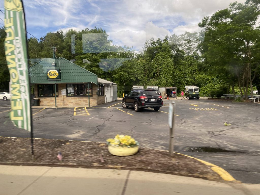
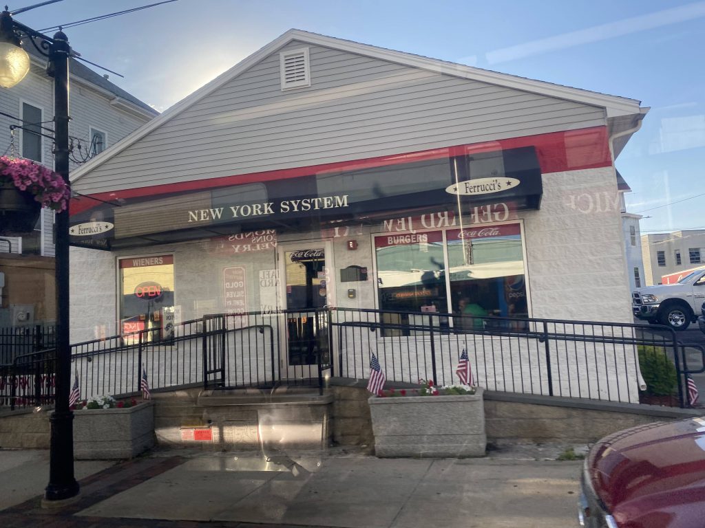
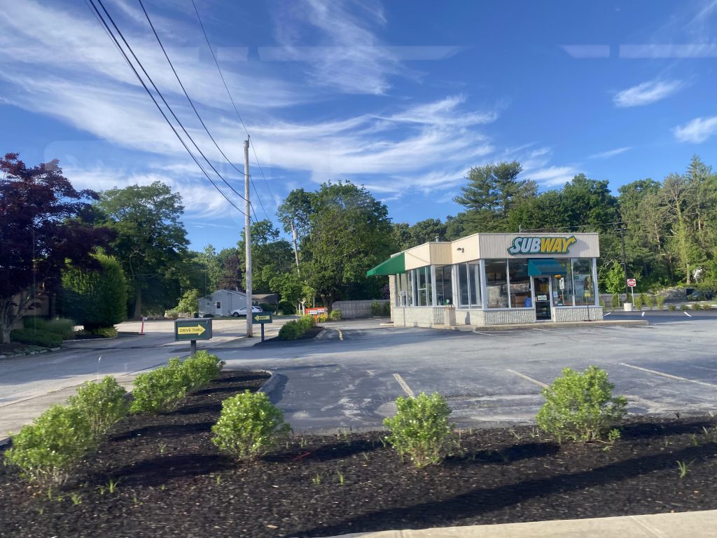
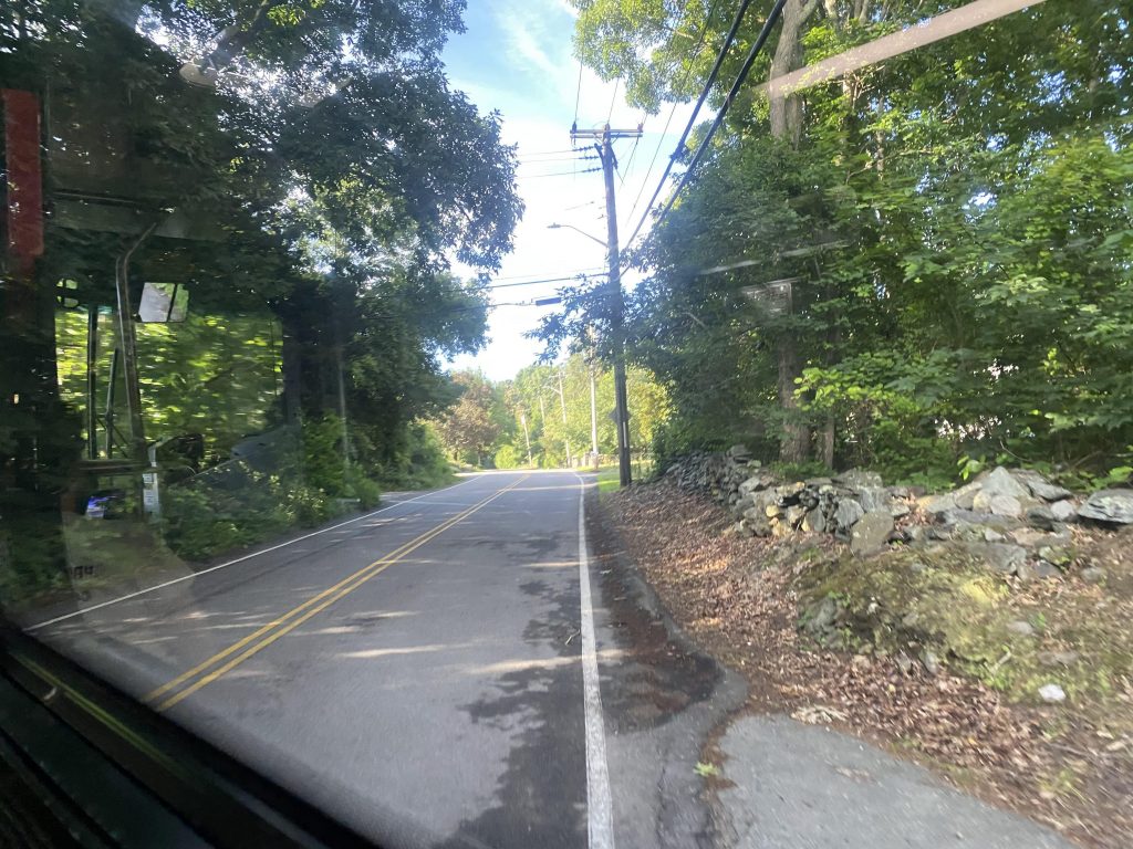
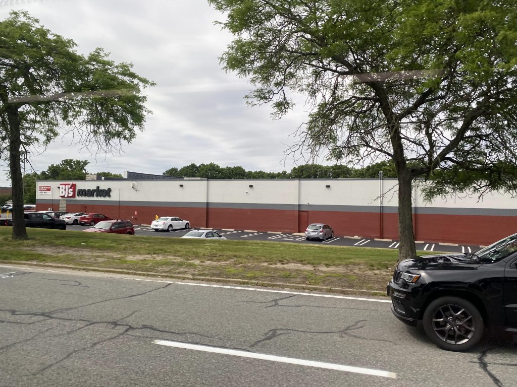
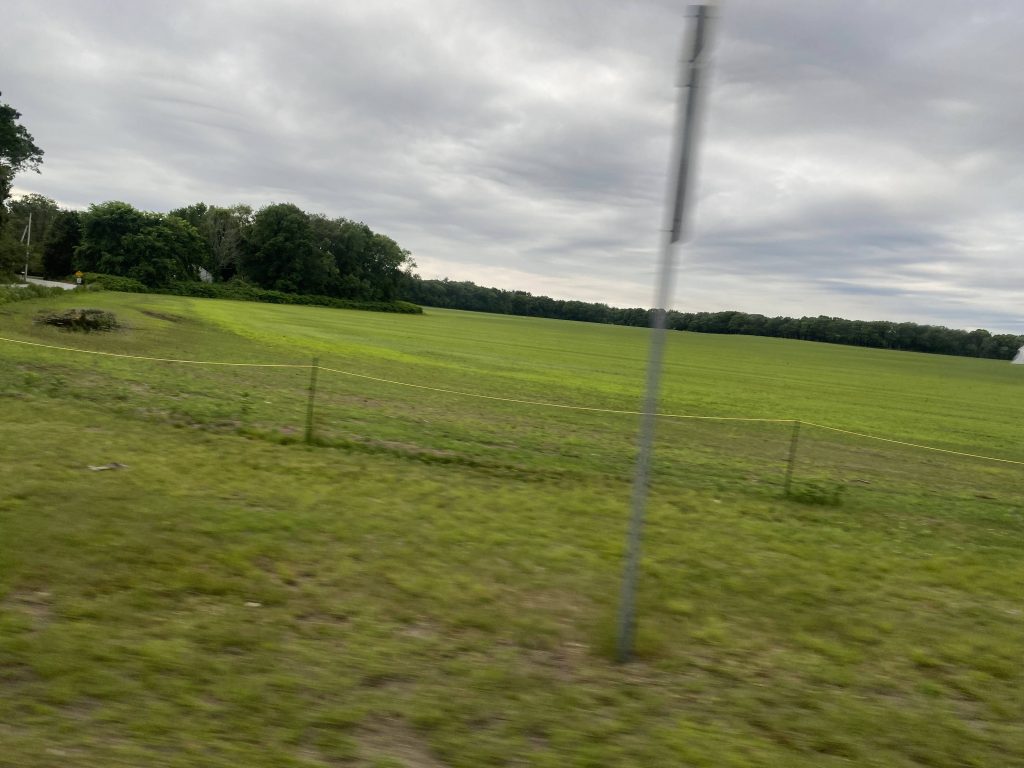
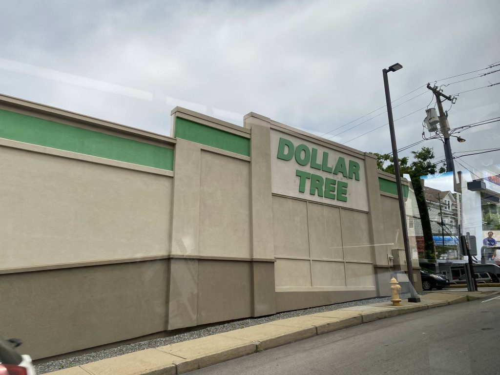
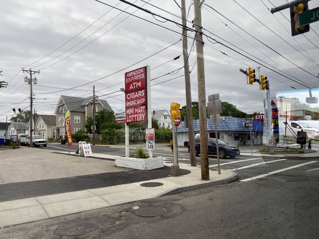
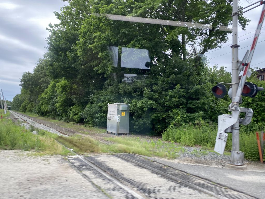
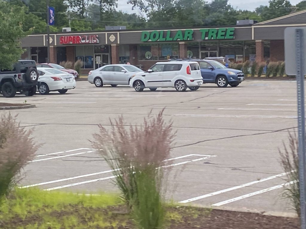
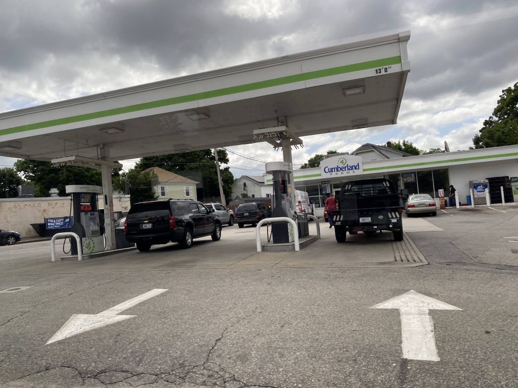
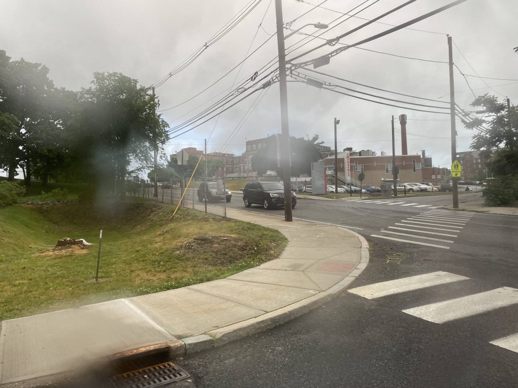
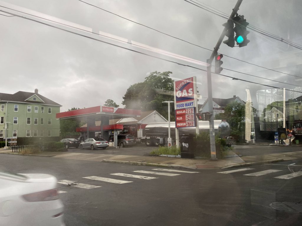
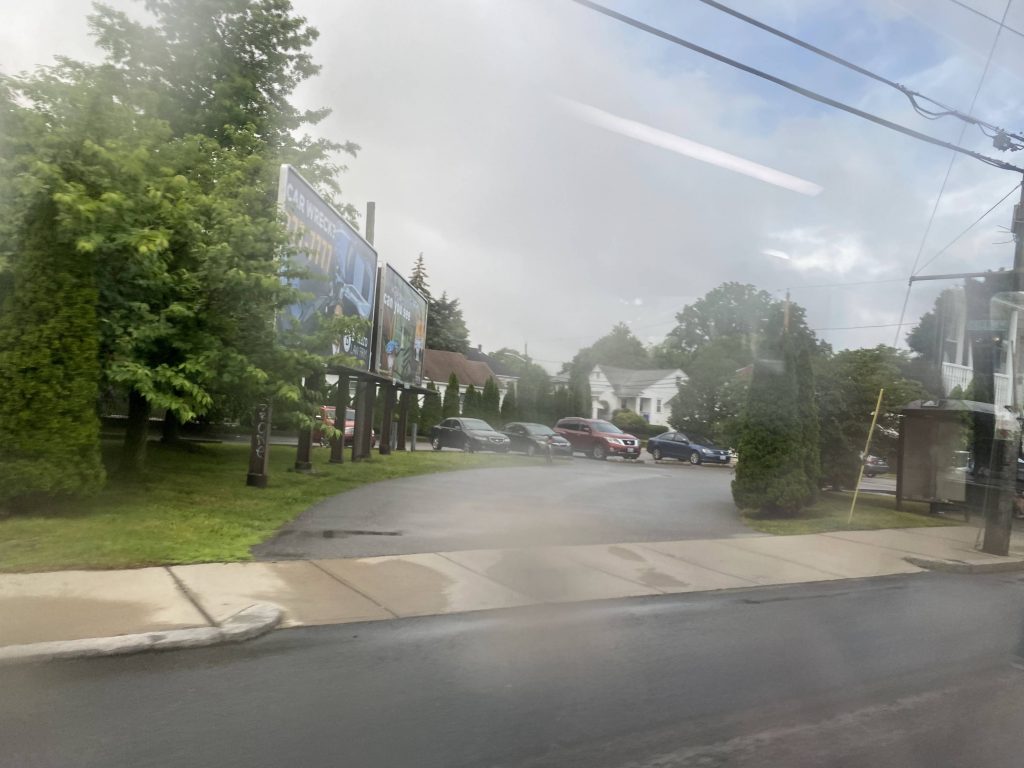
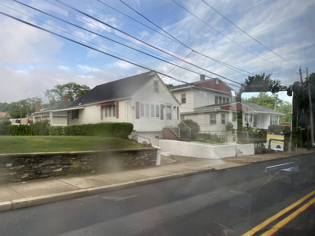
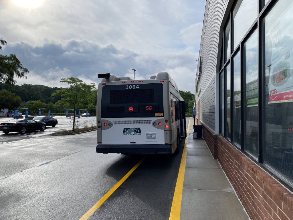
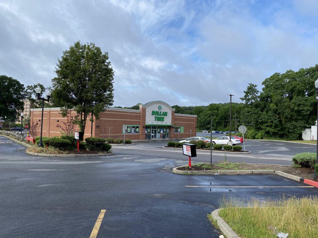
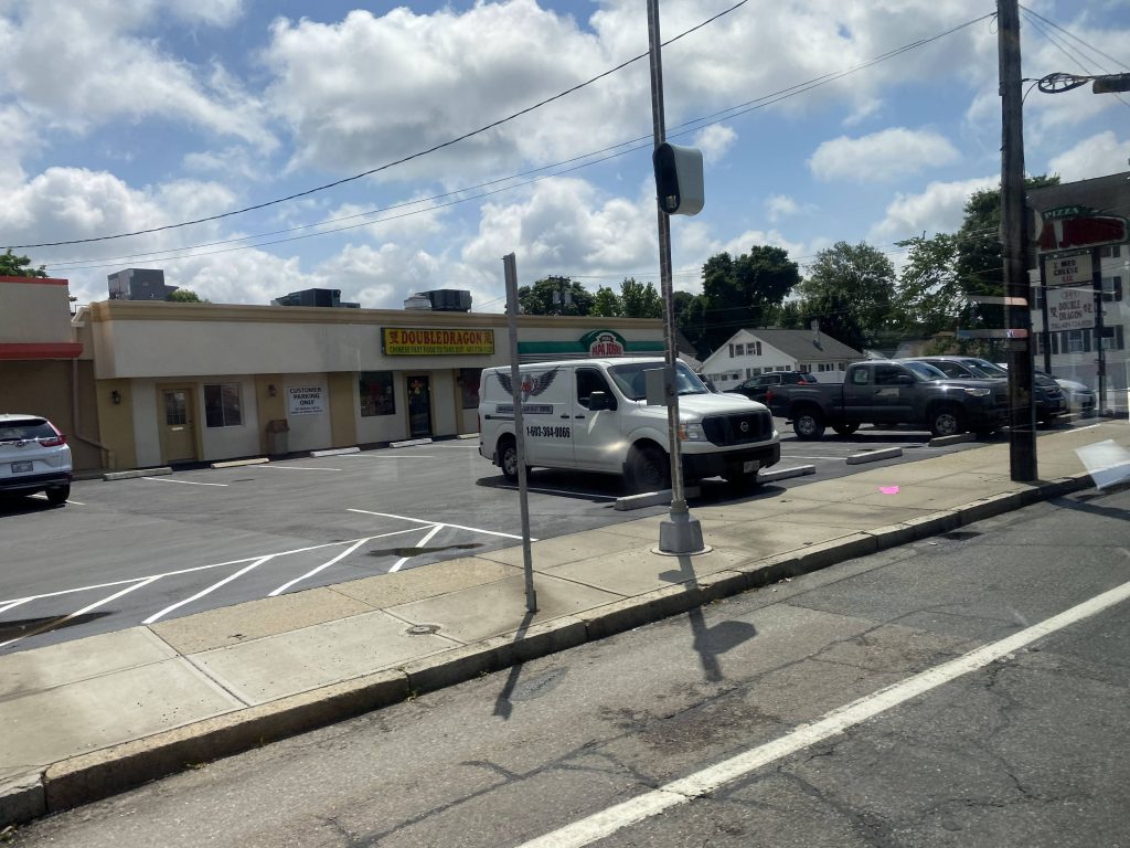
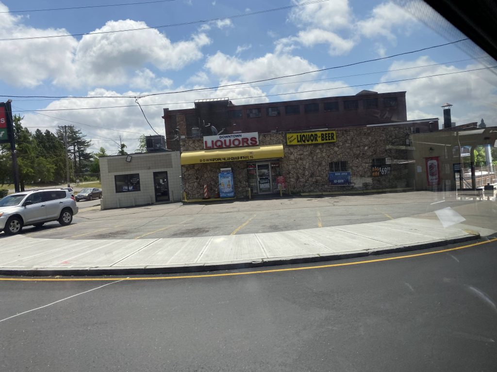
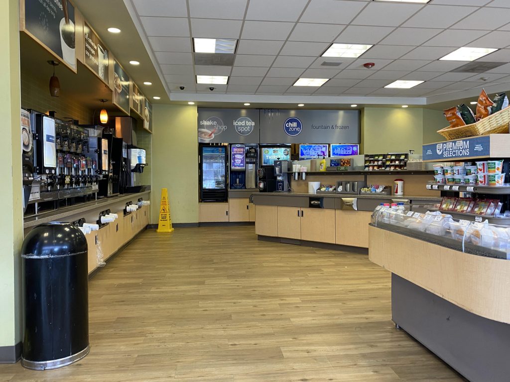
Now, it was short as two exits later, we were off and we deviated into Salt Pond Plaza. A man got off here, and we kept going down Point Judith Road. It was largely quiet with mostly houses, and eventually we banged a left down Burnside Ave. Well shoot, looks like we gotta deviate into Scarborough Beach. Fortunately, it wasn’t that much a deviation as we didn’t pull into the beach itself. But unfortunately we went right onto Knowlesway. At the end of the street, I pulled the stop request cord and got off for a convenience store lunch.

Look, a Dollar Tree!
…Marshalls?!
Fancy, I guess
Scarborough Beach!

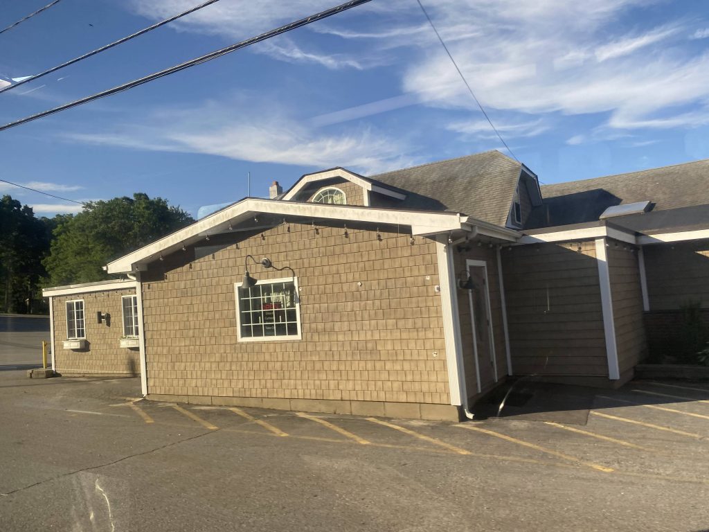
Alrighty, now for a deviation into a Cumby’s review! The store is nice and big, but not too big, and it was clean. Plus, everything was organized. There was also seating, albeit slightly uncomfy!

Rating: 4/5

Cumby’s!
Great coffee

And back to your regularly-scheduled programming!

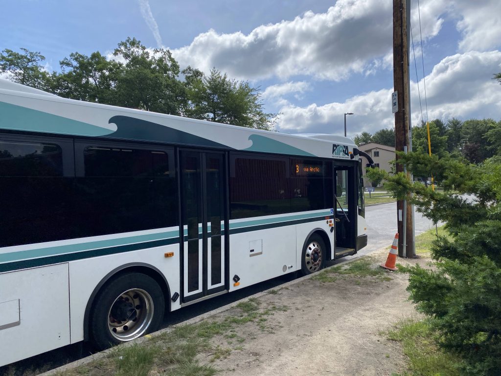
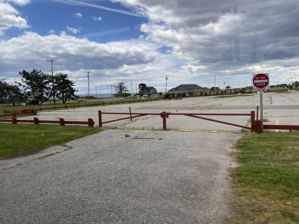
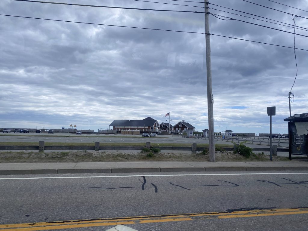
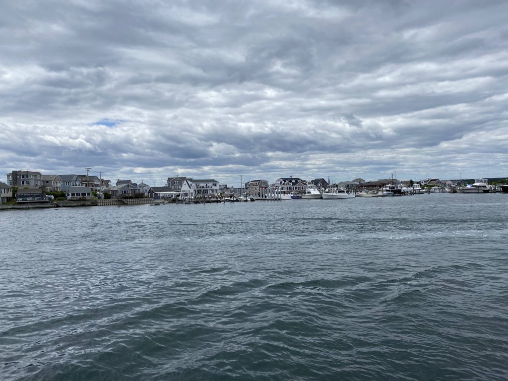
So, the bus picked me up at the same stop an hour later, and holy hell it looked like it was from the middle ages. Anyways, from here, it was a straight shot down Point Judith Road and Sand Hill Cove Road. We then went past Roger Wheeler State Beach and went through the Galilee circulator road, where the route ends at the ferry terminal.

Look at that dinosaur!
Beach!
…Jersusalem! Wait, are we in Israel, or Rhode Island, with these place names?
Another shot

The good: It times up with the Block Island Ferry pretty well, well, for some runs that is. It also times with the 66 pretty well, for connections to Providence and points northbound, with some trips interlining. It’s also frequent enough to where it makes sense, with a bus every hour, but not too frequent that the ridership doesn’t warrant it….sometimes.

The bad: Sometimes, I think it might warrant a frequency boost during the summer. Most people taking this route would probably be taking it for the Block Island Ferry, so why not make summer runs until 7pm run every half hour, like how the 67 would become every 20 minutes during tourism season? Also, sometimes it times really horribly with the Ferry, though that’s on the ferry operators instead of RIPTA.

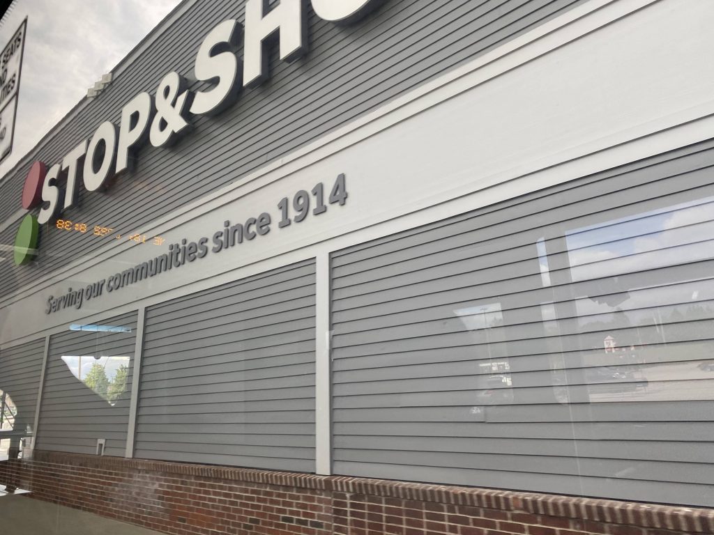
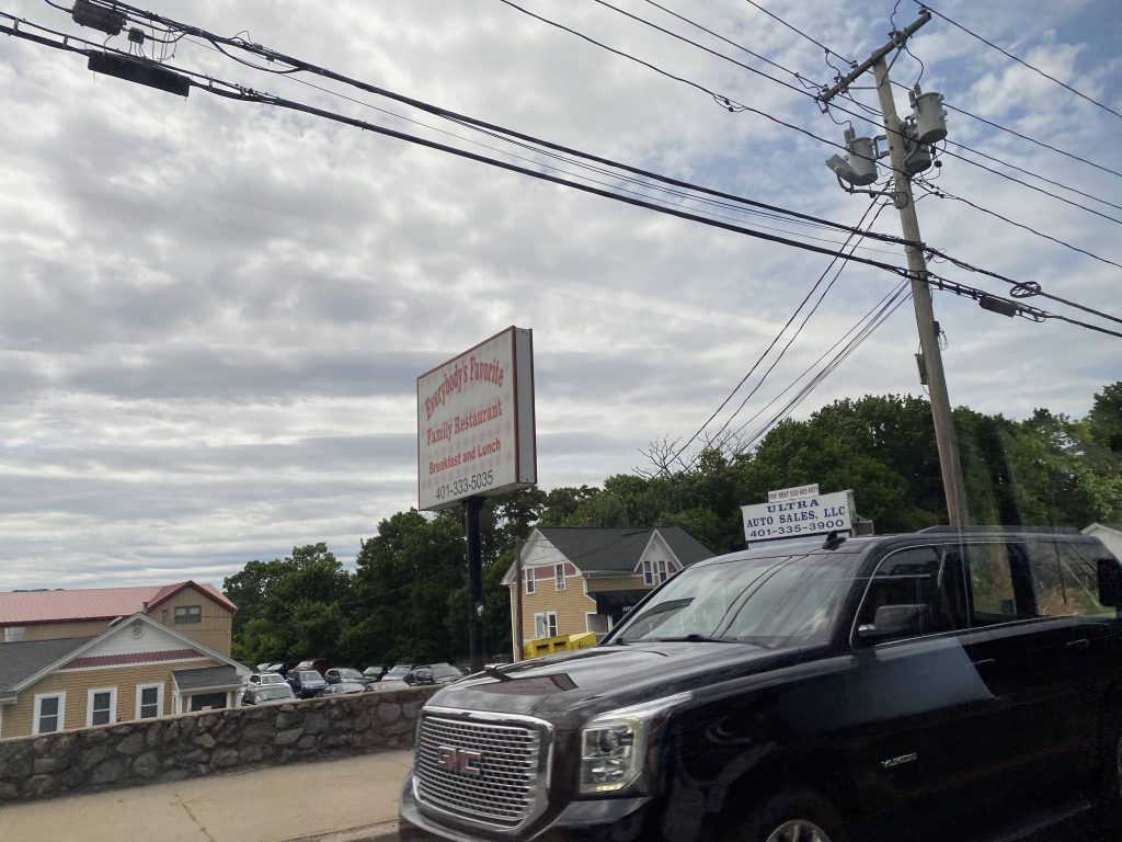
Nearby points of interest: Salt Pond Plaza, Wakefield, Peace Dale, and URI. You also have Galilee and Block Island!

Overall, it’s a pretty darn good route for what it is. Sure, it could use a frequency boost (or runs that skip Salt Pond) during the summer, but outside the summer months it isn’t a very terrible route whatsoever. And hey, it serves three beaches! However, though, the timing with the ferry could be a little better.

Rating: 6.9/10 …jk, it’s actually a 7/10

16 (Bald Hill/NEIT/Quonset)

Alright, new route #2! So while the 23 serves Centre of New England, the 16 …serves New England Tech, Quonset, and a stroad. Okay then.

Here it comes at CCRI!

So, the bus was running late – however, though, this wasn’t due to the route inherently. What happened was that the operator was given half-baked directions for the route and as such ended up making a few wrong turns. I didn’t make a big deal about it and Wintry just said that everyone was learning the route, with it being the first day and all. So, just like the 23, it leaves CCRI via the back exit and down College Hill Road. However, unlike the 23, it stays on Bald Hill Road. And, it’s a straight shot.

So long, CCRI!
A fire station
Oh dear.
O r g a n i z e !!!

So, going up Bald Hill (st)Road, you have businesses and large parking lots. Yikes. However, you do have places like Target, which have their own bus stops (albeit not as deviations – but curbside). With this in mind, the 16 is a little more bearable if you’re getting off anywhere along Bald Hill. Wait, what’s this, deviation sensation?! Yes! We are deviating up Universal Boulevard and into Market Basket!!!

Among the handful of times Target will be on this website
Deviation #1: Market Basket
Market Basket!

From here, we came back the way we went, however based on the map of the route, the driver made a mistake here. Instead of going up to Centerville and then down towards the courthouse, the driver just went down Ginsu Way to the courthouse, then went in a circle at Cowessett Corners. Nevertheless, we deviated into both the courthouse and Cowessett Corners, and then continuing down RI-2, now Quaker Lane.

Deviation #2
Cowessett Avenue
Deviation #3
Stop & Shop!

From here, it was largely stroads still, with the occasional plaza or car dealership. We did pass MetLife, and eventually I-95. Wait, a fourth deviation?! Oh boy. Now, it’s NEIT. New England Tech, to my awareness, hasn’t had any bus service until today (outside of Flex), so I’m sure it’s something the students would find worthwhile come fall.

Dear god, can we finish with the dealerships already?
ANOTHER shopping plaza?!
The interstate!
New England Tech!

From here, we went back up RI-2 and right onto Division Street. From here, it was a straight shot over RI-4 and to Main Street, going down First Avenue. It was here that we took a right and followed the 14’s routing to where this route ended, at Gate Road. From here, we waited then took the return trip up to CCRI, and was then greeted by someone else from the Miles in Transit Discord, who happened to be in town for riding the 16.

Some more NEIT goodies
Micky D’s!
Construction and RI-4
A side street
A cemetary
A dirt pile?
Frenchtown Road!
Del’s!
Look, a very, very cursed Dollar Tree.
Near the end
A very long CSX train at the end of the route

The good: It serves a bunch of shopping centers! It also serves NEIT, and more regular service to East Greenwich and Quonset! Also, there’s a deviation into Market Basket.

The bad: My biggest concern comes down to on-time performance during the holiday shopping season. Bald Hill Road isn’t known for being free-flowing. Also, and this applies to the 23 too, what’s with the lack of announcements for various stops?

Nearby points of interest: Target and Market Basket! There’s also Best Buy, the courthouse, Cowessett Corners and Stop & Shop, as well as NEIT and the plaza there. There’s also the areas shared with the 14, including Gate Road in Quonset.

Overall, it’s a good route on paper. It’s deviation-heavy, sure, and could turn into deviation hell easily, but it’s not a bad idea or a route. Plus, it makes it more affordable to go shopping on Bald Hill with transit finally being up there.

Rating: 7/10

Don’t know the code for the sign? Just use the one for special service! (credits: Wintry from the Miles in Transit discord, aka the friend who came with me for this review)

23 (Arctic/Crompton/Centre of N.E.)

Alrighty, new route time! First off for the pair of the new CCRI-based routes? Well, it’s the 23. Let’s see what this route brings.

The bus heading the other way

So, I started this journey by riding the bus out to Centre of New England, mostly to get a feel of the route. And, not only did I do this, but I did it with Wintry (as they wish to go by on this site, if you’re in the Miles in Transit server you’d likely know them as the RIPTA historian) as well. They were more in it to document the bus stop locations for a local town councilman. Fortunately for us all, the bus was on time, and off to the races. After going down Main St., Tiogue Ave., and Arnold Road, we came out at the Centre of New England. From here, the bus turned into a side street and banged a tight u-ey, having to reverse. It’s here, that this review begins.

The headsign outbound

Ah, Centre of New England, my old friend. I remember when I was little, my parents would always go to the Walmart down here. Turns out, the 23 doesn’t serve the Walmart directly. Instead, you’d have to walk across the Home Depot parking lot to get there. Yikes. Fortunately, we know it’s Walmart rather than RIPTA to blame. Thanks, Sam Walton. Nevertheless, after a 15 minute break at Centre of New England, we got back on the bus and we were off to the races.

Screw you, Mr. Walton!

We pulled out of the Holiday Inn Express and took a left, then another left onto New London Turnpike, and yet another left onto Arnold Road. It was largely woodlands and territory untouched by RIPTA (until today, that is!). Of course, it was also quite scenic. I mean sure, you have the oddly-placed stop at a lumber mill where one can buy firewood, but c’mon, who in their right mind is gonna load one of those carts that you see old people using with firewood?! Anyways, I digress. Remember how I said it was scenic? Well, it is. And VERY scenic, at that. Briar Point Beach is just a short walk away. I will say, though, that the spacing for the stops is a bit jank. Moving further up and HOLY CRAP it’s beautiful! Hell, we could see the sun rising up on Tiogue Lake, and it was BEAUTIFUL! I’m sure it’s more beautiful if the sunrise was earlier. Man, I gotta ride this route in the winter.

Unionize Walmart!
Cracker Barrel!
Theoretically you can make a connection to the 95X – on foot
A house on Arnold Road
Briar Point Beach is this way
OH GOD IT’S BEAUTIFUL
This is great.

From here, we banged a right onto Tiogue Avenue, and once again we passed by Tiogue Lake. There was also a tavern on the water, which used to be a pretty good pizza place. It was here, though, that the scenic part ended. We kept going by houses and shops, which got more dense as we entered West Warwick and Main Street.

This used to be a pizzeria
A nice grassy yard
Welcome to West Warwick!
Reflection time!
A cemetary

Moving upwards, we went through Arctic Village, providing a transfer to the 12X and 13. However, unlike the 29 that this route replaces, we went down Providence Street instead of continuing down Main. This meant, we got to pass by Jerry’s Supermarket. Weirdly though, there’s no bus stops here. Yeah, that’s a headscratcher. From here, it was largely familiar territory, with the roundabout, and Providence Street across the river to Toll Gate Road.

No announcements here! (yet)
Codfish-approved hot weiners!
…Jerry Seinfeld?!
The river and converted mills
Westcott Terrace!
sbubby

From here, we turned left onto Bald Hill Road, and a right down …College Hill Road??? Weird choice, RIPTA, but I’ll roll with it. Yeah, so we kept going up, took a right down Commonwealth Avenue, and a left down the back entrance to CCRI, where the route finally ends.

This area is a death trap!
Launch!
One of the new bus stops
Commonwealth Avenue
Oh CCRI…

The good: It serves a popular shopping destination! It’s also quite scenic, and provides a second route for Arctic. It also serves a couple of trails and recreational areas, with Briar Point Beach being not very far, and a fishing spot (which looks like it’s regulared by a few locals) right by the bus stop on Tiogue Lake on Arnold Road.

The bad: The 90 minute headways. I mean, for starting out it probably isn’t bad, but I feel like it’d hinder ridership a little. Also, why doesn’t it serve Brookdale Assisted Living at the other end of Centre of New England? Now, I know this isn’t RIPTA’s fault (Walmart told RIPTA “no” for the 23, according to a supervisor I talked to the other day), but it’s also a bummer it doesn’t go into Walmart. As such, what were they thinking with making the buses bang U-turns at the Holiday Inn Express?! I digress on that. I’m also concerned about on-time performance later down the line, especially during the holiday season when Centre of New England can become a traffic nightmare.

Nearby points of interest: Centre of New England, the route’s namesake! You have BJ’s, Cracker Barrel, and Walmart nearby. There’s also Tiogue Lake if you’re into fishing, with Briar Point Beach being a short walk away. There’s also Crompton (not Compton – that’s a neighborhood in California with a not so savory reputation) and Arctic, as well as CCRI.

Overall, it’s a decent enough route. Sure, the 90 minute headways are a bit excessive, but that’s what happens when you have only one bus assigned to a route. It’s pretty decent though, and quite scenic too. And, as such, I hope RIPTA doesn’t shaft the route and instead improves upon it in the future. I mean, there’s some hope since it’s only day one.

Rating: 7/10

66 (Providence/Wickford Jct./URI)

Alrighty, the third of the four “long-haul” routes. Originally, I was planning to do the 73 but, um, yeah. Be prepared for a rant on that one.

Waiting!

The route starts at Providence Station, so I boarded there. We then went on to Kennedy Plaza’s stop X, and after picking up someone we immediately went express down the interstate. It was long, but we had stuff. And with that…

LET’S GET READY FOR A DEVIATION SENSATION!!!!!!!

Oh boy, it’s been a while since I did one of these! So, deviation #1! We took exit 13 off the interstate and booked it down the Airport Connector. From here, we pulled into the airport’s busway, picked up noone, dropped noone off, then turned onto Post Road. Someone actually got off here, but we then went back the way we came. Then, deviation #2! CCRI. We got off the next exit, went up the hill, picked someone up at CCRI, then turned back onto the interstate. And that, was today’s edition of Deviation Sensation!

Downtown!
Hi, Nibbles!
The Northeast Corridor
The airport!
BJ’s!
CCRI!

From here, we went express down the interstate and RI-4 (at exit 9). Soon enough though, we got off at exit 5, deviating into a park and ride lot. Nobody got on or off, so we kept goin- wait, what? Why did we pull over? WHY IS THE DRIVER GOING INTO CUMBERLAND FARMS?! OH FOR GOD’S SAKE! I HAVE TO GET TO KINGSTON STATION AND YOU DECIDE THAT YOU CAN JUST SIMPLY TAKE A BREAK MID-RUN?! I probably sound like a Karen complaining about that, but, like, c’mon man. Shoulda done that during the layover at Providence Station. Anyways, moving on, we went down the road after the driver got back and we deviated into Wickford Junction, for connections to the 65X and the Commuter Rail, then turned back and went down RI-2. From here, it was largely a straight shot through the middle of nowhere, until we turned left onto Kingstown Road. We then deviated into Kingston Station (Kingston/URI on this site, to differentiate it from Kingston, MA), and I got off. The route keeps going, however, down to URI’s Memorial Union.

Ooh, an HSP!
Trees.
……what?
The veterans’ cemetary (not for veterinarians, but war vets!)
An empty field
More trees
Grass
Kingston Station!

The good: The route serves a lot! You have CCRI, T.F. Green, downtown Providence, along with Wickford and South County all the way to URI! Hell, there’s several major regional transit centers too, being Kennedy Plaza and Providence Station, with their Amtrak, MBTA, and bus connections, CCRI with the various local bus connections, T.F. Green and Wickford Junction with their MBTA connections (and air flights in Green’s case), Kingston Station with Amtrak, and URI with its bus connections. It’s also frequent, being every half-hour on weekdays, and hourly at nights and weekends. It also gets decent ridership, even though the 770 daily riders as of 2019 might be slightly inaccurate.

The bad: It’s kinda long! If you gotta take a bathroom break and you boarded at Providence or T.F. Green, and your destination is Kingston Station or URI, good luck! It also tends to be early, so show up several minutes before the scheduled departure times for your bus.

Nearby points of interest: Providence, CCRI, T.F. Green up north, and Wickford Junction and Kingston to the south.

Overall, it’s among the better RIPTA routes. Definitely a long one and can be hard to stomach in one go, but it’s still a good route. There’s really not much that can be changed to make it easier to stomach, as any Providence-URI route is inherently going to be long. However, maybe an express between Kennedy Plaza and URI via I-95 exit 3? Just a thought I had.

Rating: 7.5/10

71 (Job Lot/Pawtucket/Cumberland)

Yes, I know it’s “Broad St.” and the page with all the routes calls it “Broad St./Pawtucket Ave.”, but in reality this is probably the main Cumberland route and should be noted as such. So, that’s the title.

Here it comes!

So, the route starts …at a Job Lot in Providence? Huh, weird choice, RIPTA. Going up Ann Mary Street, we went left onto North Main and veered right onto Pawtucket Avenue. While the R Line replaced the 99’s Main St. trips, the 71 largely replaces the 99’s Pawtucket Ave. runs. From here, it was largely residential and a straight shot into Pawtucket’s downtown. Crossing into the interstate, we entered downtown Pawtucket, and after a couple of rights we entered the Pawtucket Visitors Center. Northbound trips on the 71 stopped at Slater Mill, while southbound trips stop at the visitor’s center side.

Look, a Dollar Tree!
Onwards to Pawtucket Avenue!
Houses
A convenience store
The interstate!
At Pawtucket!
The 75!

Leaving the visitor’s center, we went up towards Broad Street and went straight. Going down here, we crossed the Northeast Corridor and encountered a relic of railroad history – the old Pawtucket train station.

ma’am this is a Wendy’s
Not the best picture, but this made me audibly go “woah…”

Moving on down, we passed through the densest square mile in Rhode Island, passing by a number of fried chicken establishments, and eventually entered Cumberland. However, we didn’t go too terribly far as we took a left down Ann & Hope Way, crossing the Providence & Worcester mainline, passing some old, decrepit mills, and ending at Stop & Shop on Mendon Road.

A nice bus shelter
Yum!
Not very yum!
The Blackstone River!
A gas station
Old, decrepit mills
This track, unlike the ones on the 1, ARE active. Don’t mess around here.
Look, another Dollar Tree!

The good: It’s a crosstown between Providence and Cumberland! It serves Pawtucket Avenue (which would be unserved otherwise with the 99 being axed). It also serves the front door of Stop & Shop, and cuts right through Central Falls. It’s also relatively frequent, every 40 minutes on weekdays and 45 minutes on weekends.

The bad: I guess the fact it starts at the Job Lot on Ann Mary Street is kinda awkward. Also, does the ridership warrant 40 minute frequency? And, now that I think of it, what’s with weekend trips ending in Pawtucket instead of going the full length? I mean sure, one could transfer to the R Line, but it’s not really a good idea if the hill is snow and ice-coated. Also, why doesn’t this route go all the way to Kennedy Plaza, replacing the 49’s service to Miriam? I mean, it’s pointless but it’s an idea at least. It also barely gets any ridership, before Pawtucket, and in average (as of 2019) gets 415 daily passengers. Definitely better than some routes, but I’m not sure how accurate this is.

Nearby points of interest: Cumberland! There’s also Central Falls, Pawtucket, and a Job Lot in Providence.

Overall, it’s a little weird. It’s not bad or anything, but like, why? The least I’d do is give weekend service to Job Lot in Providence.

Rating: 5.5/10

75 (Dexter St./Lincoln Mall)

Oh boy, a Pawtucket route! I can’t wait to see where thi- Oh, it only goes to the Lincoln Mall. Neat.

That all caps headsign though .-.

Getting on the bus, we banged a u-ey up Main St. and High St, then we were off to the races. We kept onwards, down the route’s namesake, Dexter Street. Who is Dexter, anyways, and why does he have a street named after him? I digress. We went down pretty much the entirity of Central Falls, known for being the densest square mile in Rhode Island.

Onwards!
Near Barton Street, I think
Hmmm
A bus shelter near Central Falls’ city hall

Enough of Central Falls, we turned onto Lonsdale Avenue and kept going up into Cumberland. It actually felt a bit rural here with the occasional house and a lot of trees. Heck, we even crossed the Blackstone River and passed a Stop & Shop. (stay tuned for the 71!)

A graveyard
A lake!
Look, a Dollar Tree!

Moving right on up Mendon Road, it still remained largely rural in feeling while being somewhat suburban. There was also quite the church. Eventually though, we banged a left across RI-116. From here, we crossed the Blackstone River again and largely went express. Well, kinda. Eventually though, we reached the end of the route at the Lincoln Mall.

A yard
A restaurant
An old mill
RI-116!
Near the freeway
The Lincoln Mall. Kinda dead-feeling.

The good: It’s a one-seat ride to a place that’d otherwise require a Providence transfer! That is, being the Lincoln Mall and Pawtucket.

The bad: The schedule. Why is it more frequent on weekends than on weekdays? And, furthermore, why are there three rush-hour deviations?! Never mind that, why is one of them an inbound-only deviation to Bank of America?!!? Okay, maybe the Amica and North Central deviations make sense, but that’s because they’re bidirectional! I’m sure they get some ridership, but it doesn’t help with increasing the 265 daily riders (as of 2019).

Nearby points of interest: Pawtucket and the Lincoln Mall. Also, Central Falls and Cumberland.

Overall, while it isn’t the worst, it’s definitely down there. Like, if I could change it I’d make it so that the industrial park is served before the Lincoln Mall, and give weekdays hourly frequency with a second bus. At least it isn’t the 73. And hey, at least it’s somewhat scenic!

Rating: 4.5/10

13 (Coventry/Arctic/CCRI)

Alrighty! This one’s a bit of a behemoth, especially when coupled with the new 29. That is, the 13. Let’s dig into it.

The bus laying over

Now, this is quite possibly the furthest out one can get by local routes alone on RIPTA without touching the interstate or any freeways. Enough so, in fact, to where one has to board this thing at CCRI. However, it only took me so long to do it because I quite literally live near the halfway point of the route, which makes riding it all the way a bit cumbersome. Fortunately, I had to be at work later in the day, which made it a little easier to stomach.

Apartments!

The route starts all the way out at Woodland Manor, an apartment complex in Coventry. Essentially, it’s the middle of nowhere, but at least there’s a Cumby’s nearby! We went around Woodland Manor and pulled out onto RI-3, which at this point was Nooseneck Hill Road, though it’d quickly become Tiogue Avenue. It was here that we did a deviation into …an Ocean State Job Lot? Weird choice, but alright. “Where is he? He did say he’d be back for the return trip.” the driver said, referring to the man in the motorized wheelchair that got off on my trip up to Woodland. Either way, we were on our way back down Tiogue Avenue, when we turned left down South Main.

They do, in fact, have jobs at Job Lot.
A building off Tiogue Avenue

Going down South Main, it’s largely residential, but it still felt like the middle of nowhere. Of course, that didn’t last too long as we then took a right onto Main Street. Going down Main Street, there were a number of businesses lining the street, and even a couple of old mills!

tank
A mill!
A side street at the bike path

Going further up, the road then became Washington Street and, soon enough, after passing West Warwick Avenue we were in West Warwick. Further up on the left was a Salvation Army, on the right a Cumberland Farms, and, wait why are we going down Roberts Street? Weird choice, RIPTA, weird choice.

Cumby’s!
Apparently this is considered a park & ride per RIPTA’s system map

So, we then took a left down Main Street, where one can transfer to the 29 (or the 23, starting 6/18/22, as the 29 will instead be ending at CCRI) and the 12X. We then went through Arctic Village, where West Warwick’s town hall can be found. Now, unlike the 23, we stayed on Main Street and went down, passing the library.

Centerville Bank
A side street heading towards Phenix Village

From here, we did a deviation towards Phenix Village to serve the hotel over there. It was also here that a friend (same one from the 30!) got on the bus. I’ll describe later. So, we went up a hill, served the hotel, then banged a u-ey back down Main Street. We then turned left down East Main (what is this, Aquidneck?) and down Providence Street. More mills!

Oh my, another deviation!
Some housing past Toll Gate Road

From here, we passed another transfer point for the 23 and went down Providence Street some more, until eventually we crossed the river and took a right down Wakefield Street. It then became East Avenue as we crossed the river a final time and we reached Bald Hill Road soon enough- oh for GOD’s sake, another deviation?!

The river
An old church and empty lot

Yeah, we had to deviate to the Rhode Island Mall, facilitating transfers to the 21 and serving as the secondary terminus should CCRI be inaccessible. Speaking of which, we pulled out of the mall and then hauled it uphill to CCRI. And finally, we were at the end of the route. It was also here that I got out the papers with the new 13, 16, 23, and 29 schedules and maps and slapped them on the bus shelter, with the help of my friend and the blessing of the RIPTA supervisor who just happened to show up as we started.

God’s work!

The good: It’s about as far out as you can go on a fixed route, without going express at any point! Sure, the 14 goes further out, but that runs express to Jefferson Boulevard from downtown Providence. It’s also largely a lifeline for the people out in Woodland Manor and Coventry, as well as Phenix Village. It’s also relatively frequent, for the ridership (1 hour headways on weekdays, and weekends soon!). Speaking of which, not a lot of people use this route. 378 daily passengers on average, however that was when it was grossly infrequent on weekdays and when it skipped CCRI and RI Mall in favor of the Warwick Mall. But, I’ve seen ridership all over the place for this route. Some runs have the bus being packed, and other times it’s largely empty. It’s also being interlined with the 29, which means (in theory) one can get a one-seat ride from Woodland Manor to Conimicut, should anyone be crazy enough to do that. However…

The bad: It’s a bit of a tedious route, especially with the Phenix Hotel deviation! Like, I know people use that stop, but like, can’t it go to its own route? I dunno, say a CCRI-Greenville or CCRI-Cranston Walmart route via Phenix, Hope, and Fiskeville? Or, something that connects to the 10X? Also, the pre- summer 2022 weekend schedule. Every hour and 40 minutes?! What?! Thankfully, that’s over though, so I’m not gonna count that against the route. It also tends to suffer from on-time performance issues during the afternoon rush, but I don’t know if RIPTA considered that when they revised the route’s scheduling.

Nearby points of interest: Not a lot out in Coventry, though that’s unsurprising for the middle of nowhere. There’s a Job Lot though, along with Dave’s. Stop & Shop is a short walk away. Also, Arctic and Phenix Villages along with CCRI and the Rhode Island Mall.

Overall, it’s not the worst. It could be faaaar worse. Hell, before 2013, the route went all the way to Providence and had three termini, being off a random side street in Coventry, Woodland Manor, and Hope Village. And, only one trip each day, to my awareness, also would deviate into Garden City for some reason. Before that, the route didn’t even run express at all, largely replicating the 21 and 22 past CCRI. Yikes. My point is, though, while it can be a hard one to stomach all the way, it could certainly be far worse.

Rating: 6/10

56 (Chalkstone Ave.)

Alright, if the 57 and 27 are both mostly straight shots into North Providence, what is the 56? Wait, what? It doesn’t stop in Centerdale? That blows. Yeah, to get from the terminus of this route to Centerdale, I had to transfer to the 27. Annoying, but not the worst thing.

It was raining the night prior, so the pictures aren’t going to be the best.

The route leaves Kennedy Plaza at stop V, and takes a left. It then goes right, passing the mall and eventually Providence Station. Another left and we’re up Smith Street.

The mall!
Hi, Governor McKee!!!

Going down Smith Street, we crossed over the interstate then chucked a left down Chalkstone Avenue. While Smith Street was primarily business-oriented in Providence until reaching RIC, Chalkstone is primarily mixed-use. And, soon enough, we …deviated? Yeah, apparently the VA gets its own deviation, while Roger Williams is relegated to a streetside stop.

The interstate….probably.
A house!
I don’t even remember what this was.
Roger Williams?!
Aw hell naw!

Eventually we kept going down Chalkstone Avenue, which was largely a straight shot. Eventually, though, we reached Manton Avenue, at which point we banged a u-ey heading southbound and then into Stop & Shop, where the route ends. At this point, the driver said, “So, ya still here, aren’t ya?” and I just said “yup.”, as this point everyone else was long gone. I then pulled the stop request cord and got off.

Some more stuff
A side street
Apparently this is a park & ride lot.
Some housing
Manton Avenue!
The bus laying over
Look, a Dollar Tree!

The good: It’s frequent! Every 15 minutes on weekdays, and 30 minutes at worst. It’s also a direct route into Providence. However….

The bad: It doesn’t go to Centerdale like the 57 (or the 27, for that matter). Personally, I’d roll the 27 back to the Stop & Shop, and extend the 56 up to Centerdale, with trips alternating between George Waterman and Woonasquatucket. Just minor nitpicks for me, though.

Nearby points of interest: Chalkstone Avenue! There’s also the Stop & Shop, and connections to the 27, 57, and 92. There’s also the VA and Roger Williams Hospital.

Overall, it’s a good route. Almost a 10/10, save for my minor nitpicks. I don’t have much to add since not much sticks out aside from the hospitals. Now that I think of it, why does the VA get a deviation but Roger Williams doesn’t? If anything, along with axing the 27 back to Stop & Shop, in lieu of the 56 going to Centerdale, I’d also make it so trips alternate between the VA deviation and a RW Hospital deviation.

Rating: 8.5/10

57 (Smith St.)

Alrighty, the 57! I’d personally consider this one the “main” North Providence route. Sure, the 27 and 56 are more frequent, and the 58 is a passthrough, but I think this one deserves the honor. Let’s see why.

Laying over at Centerdale

The best way to describe the route is short, sweet, and to the point. It’s quite literally a straight shot down Smith Street to downtown Providence. Among the sights you’ll see on the route? Primarily residential neighborhoods. There’s also sights like North Providence City Hall and its connection to the Beach Bus. Apparently also in the residential neighborhoods of North Providence is a park & ride lot at Turcone Street. La Salle Academy is also along the route (don’t ask my opinion on La Salle students/alumni). Further down towards the end of Smith Street, it gets denser. Eventually, the route passes Chalkstone Avenue and the interstate. Lastly, it passes by the State House, the train station’s north side, and Providence Place Mall before pulling into Kennedy Plaza.

North Providence city hall!
A shopping plaza
A ballpark
RIC this way!
Oh no.
A law office
An assisted living facility
An auto repair place
Chalkstone Avenue!
Grass, not weed!
The interstate!
The state house!

The good: It’s a straight shot from North Providence’s town center to downtown Providence! For ridership, it’s also among the more-used RIPTA routes, with 877 daily riders as of 2019. Furthermore, the headways make sense, clocking in at every half-hour, and hourly on weekday nights. It also connects to the train station, which is also a nice thing.

The bad: …not much. I guess sometimes the weekend frequency (hourly on Sundays) might be cumbersome? But even then, that’s not a dealbreaker.

Nearby points of interest: Centerdale! Also, the train station and various shops along Smith Street. There’s also the front door to the state house and Providence Place Mall!

Overall, it’s largely a straight shot. Among the most direct routes in all of RIPTA, with little in the way of flaws. And, for that, I’d have to give it a…

Rating: 9/10

72 (Pawtucket/Central Falls)

Alrighty, another Providence-Pawtucket route! If the 1 bisects the densest parts of the state and continues on to South Attleboro, and the R Line is designed specifically to link Broad St. and Pawtucket, what’s the 72 for? Well, let’s see.

Not my bus, but the 76. That one’s coming sometime soon. *wink wink nudge nudge*

The route begins at the Slater Mill side of the Pawtucket Visitors Center. From here, the route heads up Roosevelt Avenue and Exchange Street, before taking a right down Dexter Street. From here, we crossed the Northeast Corridor and went into the densest square mile in the state: Central Falls.

Goff Avenue
Mattresses!
A gas station!

We took a left at West Hunt Street at a church, then another down Lonsdale Avenue. Whelp, that was short lived, as we were back in Pawtucket. But this time, instead of going all the way down Lonsdale, we took a right down Weeden Street. It was lined with mostly housing, with a railroad crossing. I don’t know if it’s active, but I’m just going to assume it is for safety’s sake. Moving right along, the road became Power Road at Smithfield Ave. The road kept going, and was largely residential. It also intersected with Mineral Spring Avenue, and eventually we met up with Smithfield Ave. again.

An auto repair place
Unionize Price Rite!
See tracks? Think trains.
A residential neighborhood
A Chinese restaurant and Papa John’s
A cemetary!

At this point, we were in Providence and it was Silver Spring Street. There were many businesses down here, among which were a Walmart, Providence Auto Body, and even the local UFCW chapter’s headquarters. Neat. Soon enough, after passing Branch Avenue and Charles Street, we merged onto Charles Street. From here, it was largely a straight shot, but there was one last deviation: Providence Station. Soon enough, we made it to Kennedy Plaza. The route DOES go on to RI Hospital, but I’m not going that far with the DTC routes.

Finally, in Providence!
A battery place
Unionize Walmart!
A liquor store on Charles Street
North Main Street
Wrong side for a pic of the train station

The good: It serves Central Falls! One of the densest areas in the state, with regular bus service. However…

The bad: I think it might do better with a frequency buff during the morning and evening peaks. Usually in those hours, I oftentimes see the bus packed, even in current times. It also feels like Central Falls is a deviation rather than an integral part of the route. (UPDATE: turns out I overlooked the frequency boost entirely. Turns out I overlooked it, partly due to the coloring being the same as a normal route .-.)

Nearby points of interest: Walmart! Also, Central Falls and Pawtucket! And the UFCW headquarters is conveniently here if anyone wants to attempt unionizing Walmart.

Overall, it’s not a bad route. Definitely among the better, but I feel like Central Falls would be better served by a mostly local Providence-Woonsocket route (via Cumberland) and a Pawtucket-Woonsocket route (also via Cumberland). But it’s still not bad.

Rating: 8/10
Original rating: 7.5/10