33 (Riverside)

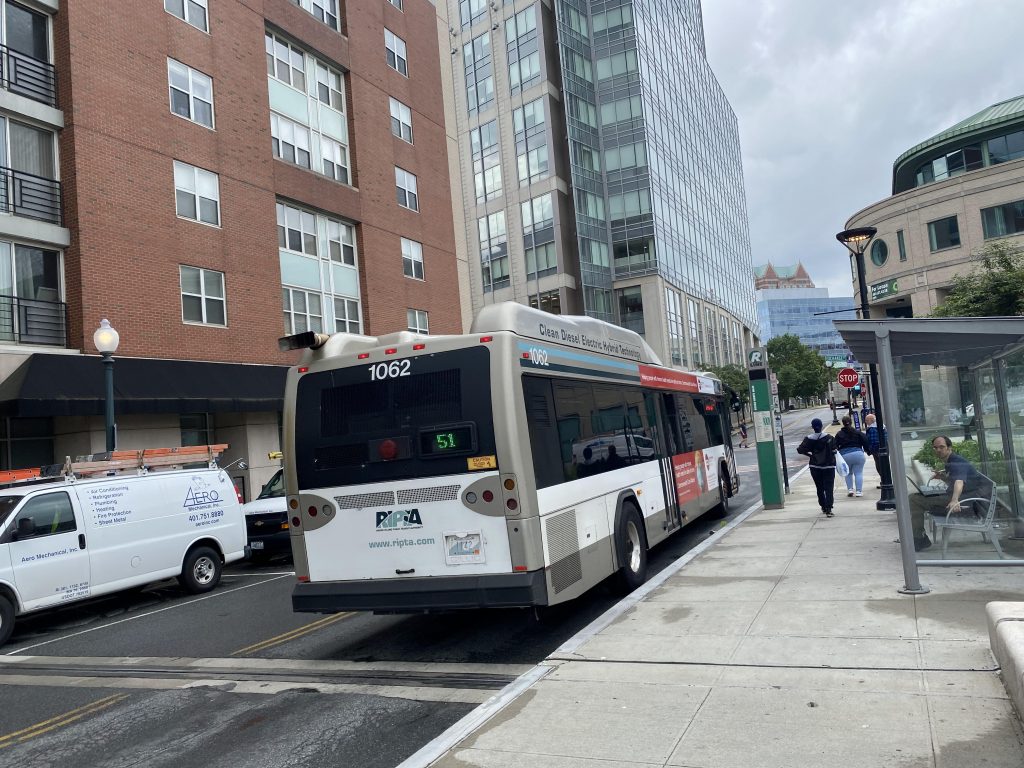
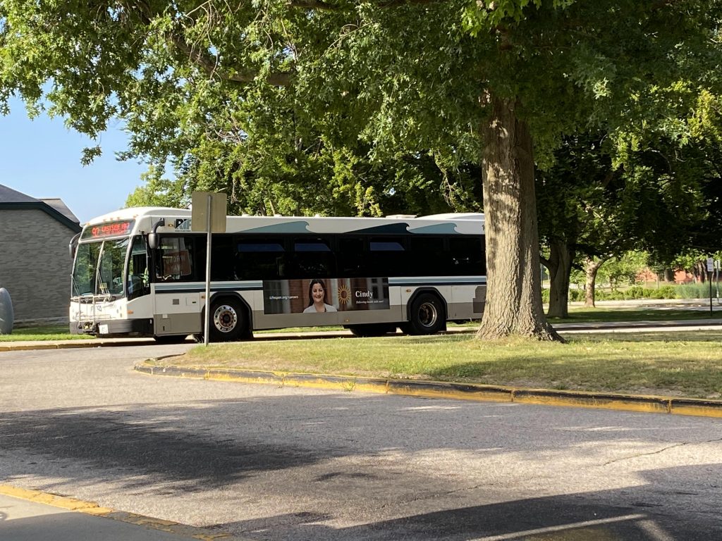
Oh boy, this one took more time than it had any right to. As such, it also had some headscratchers. But hey, we’re in the East Bay again! Let’s take a glance at the 33.

Not my bus, but this headsign looks kinda mangled.

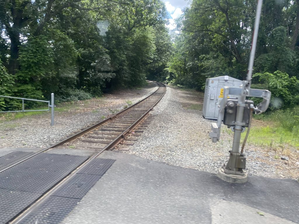
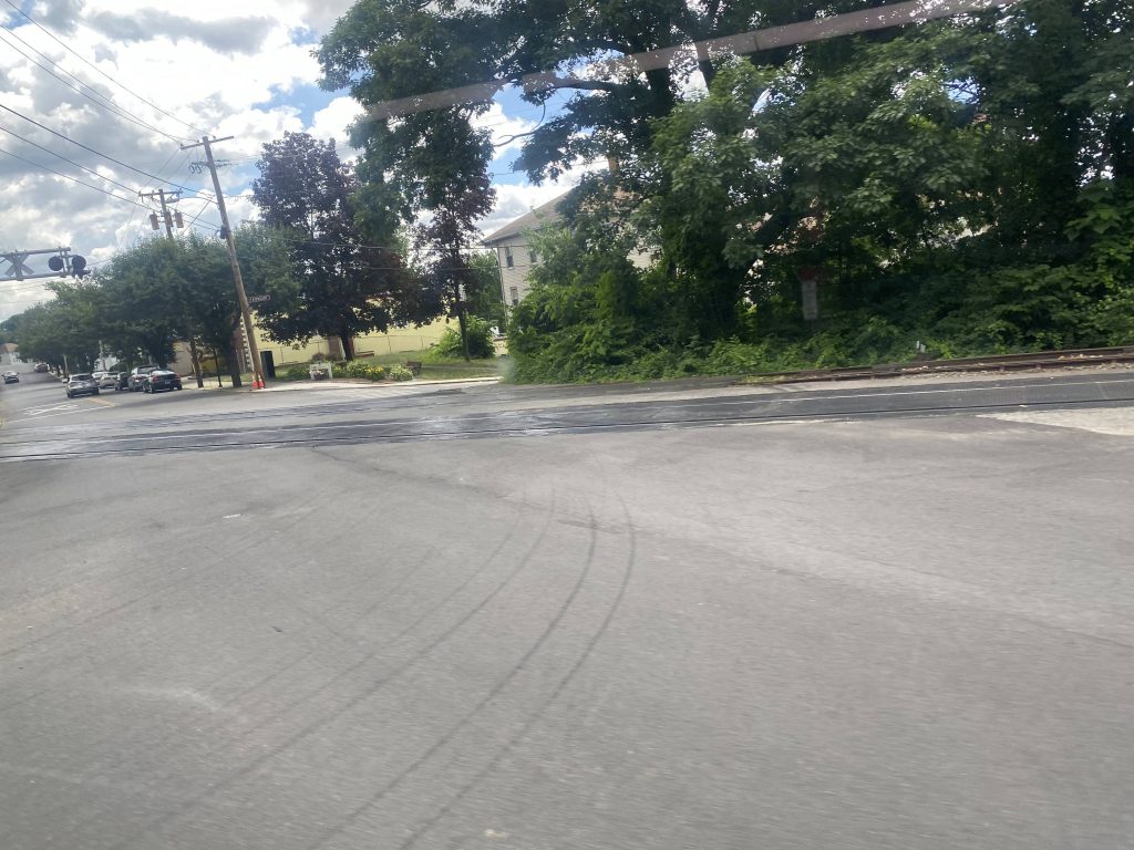
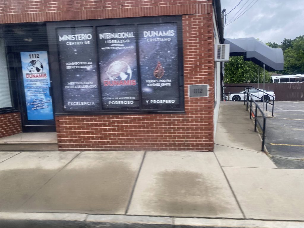
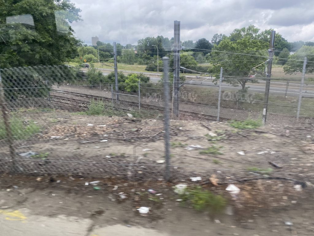
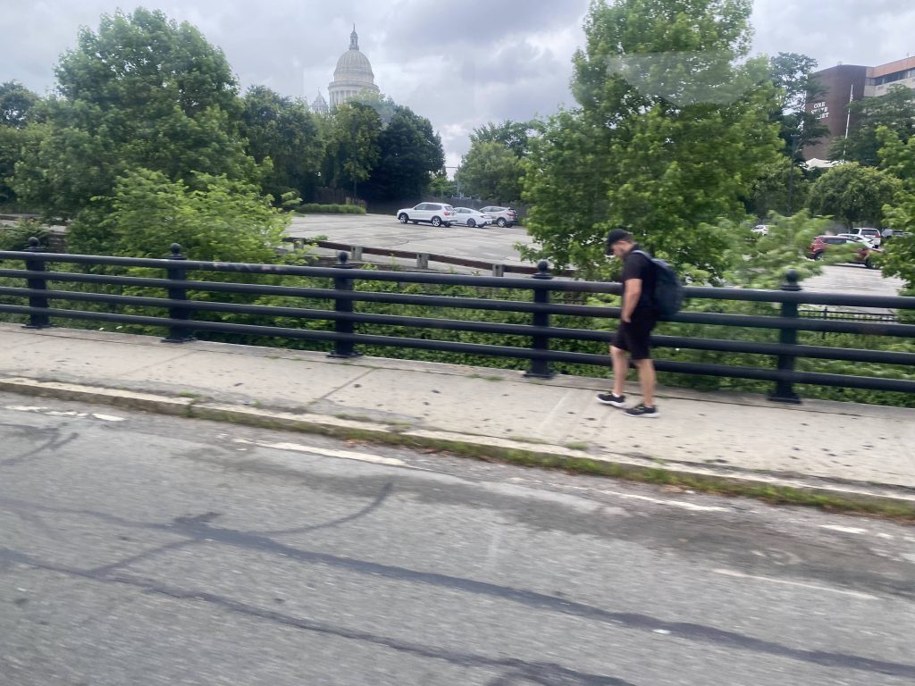
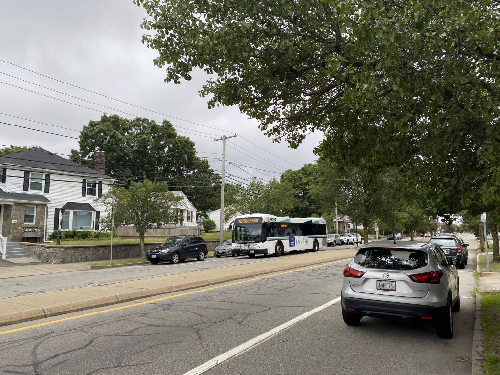
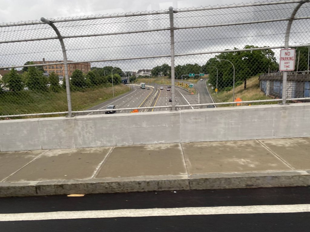
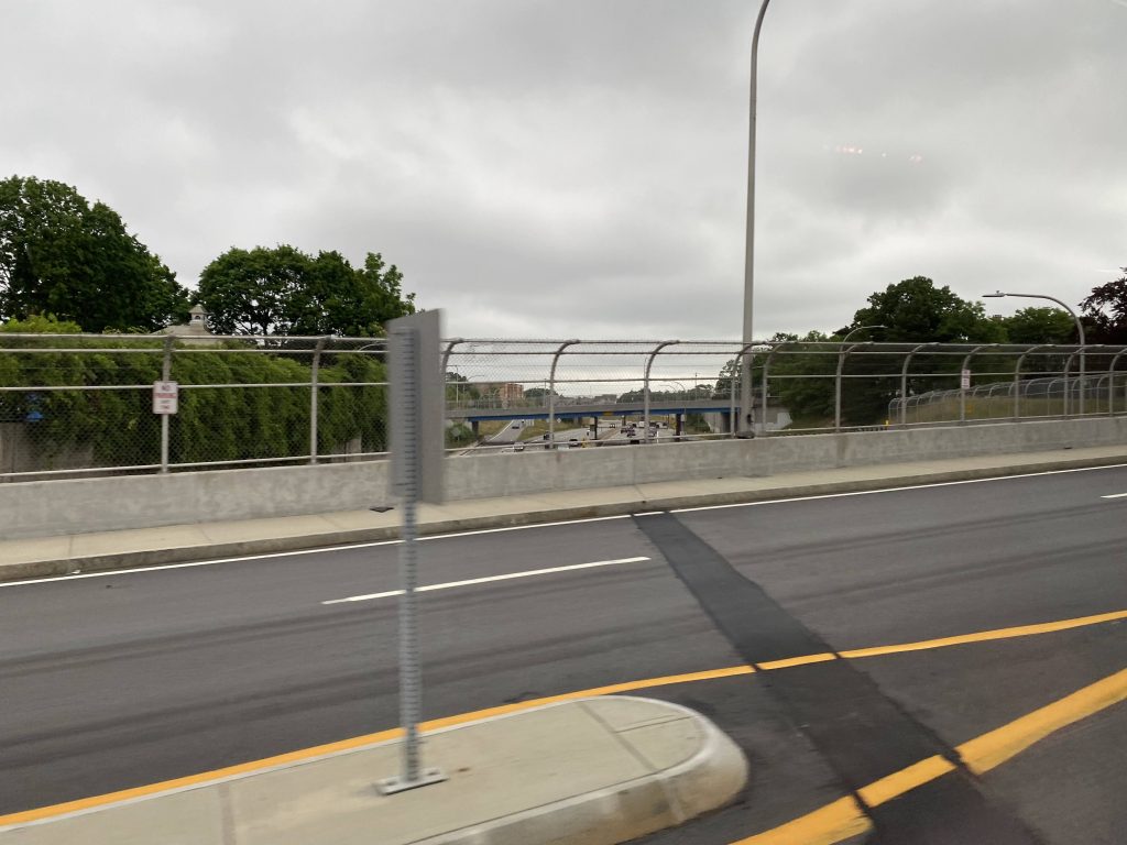
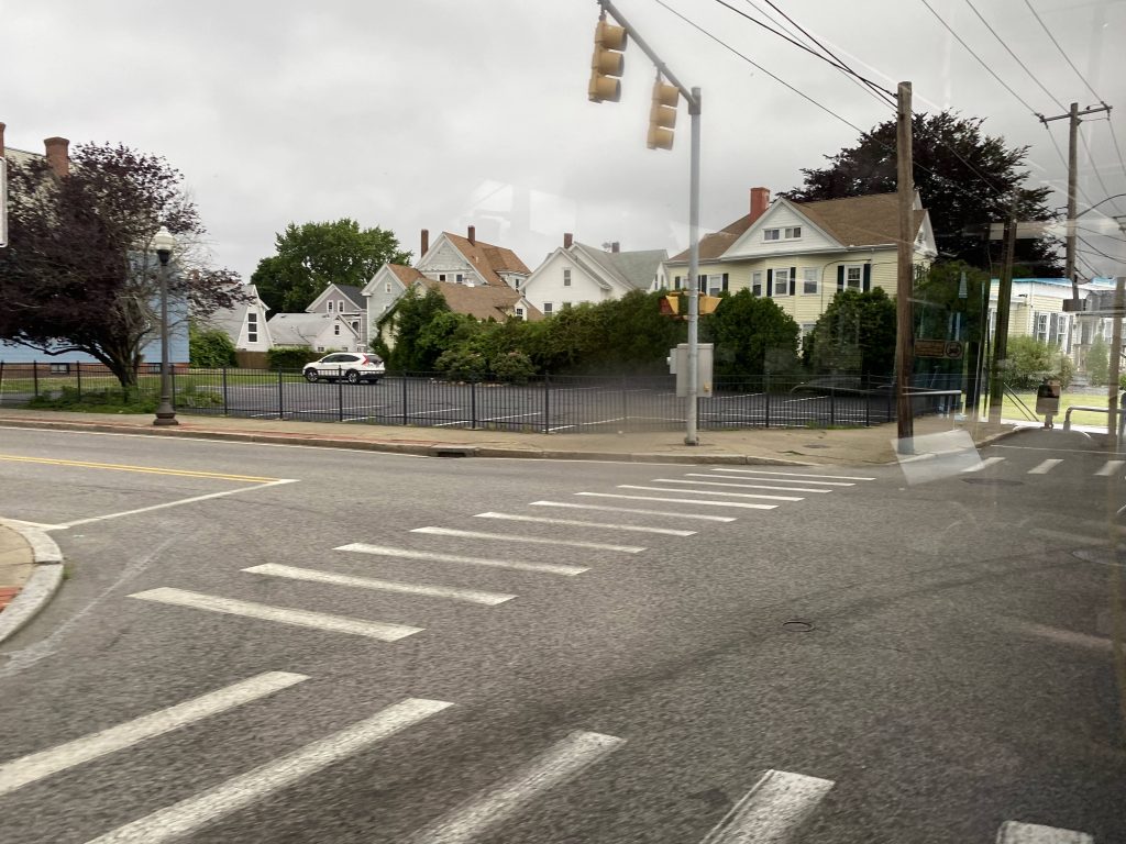
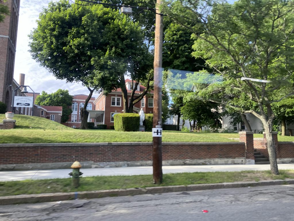
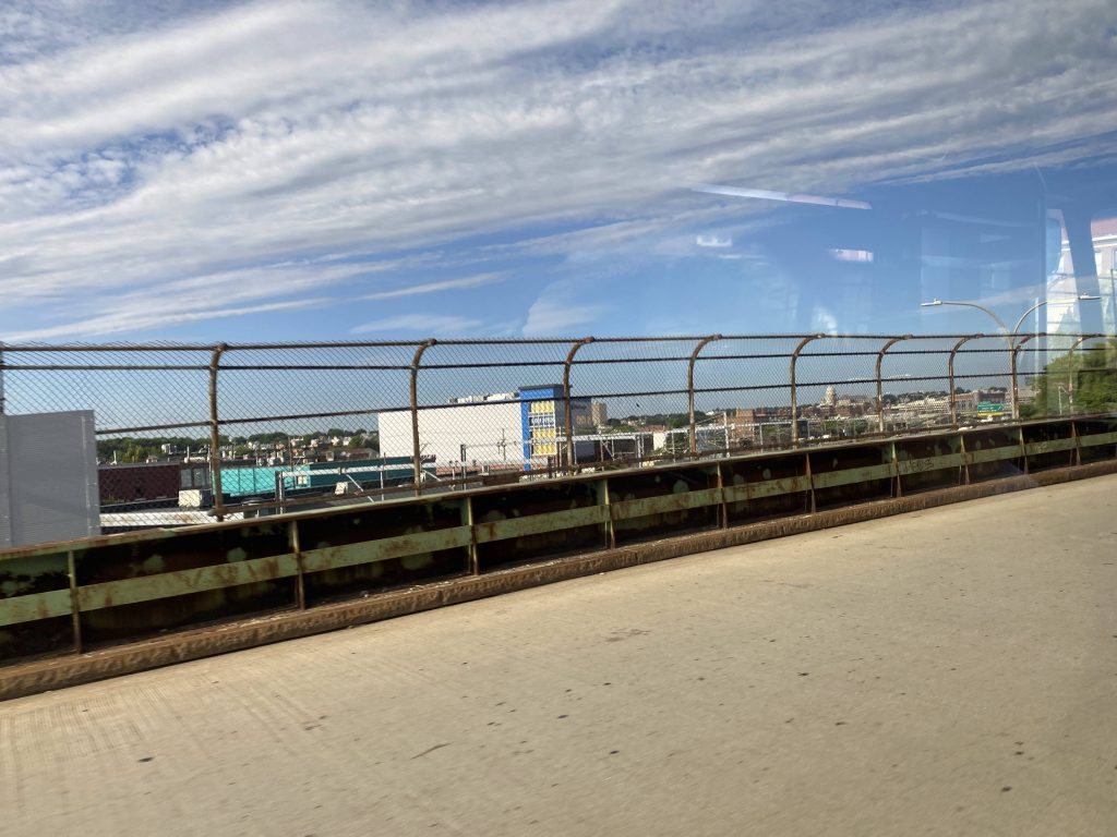
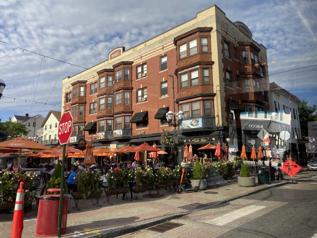
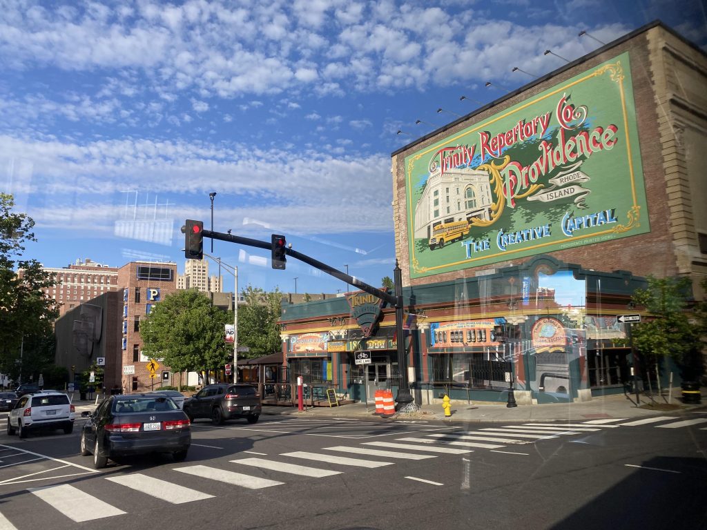
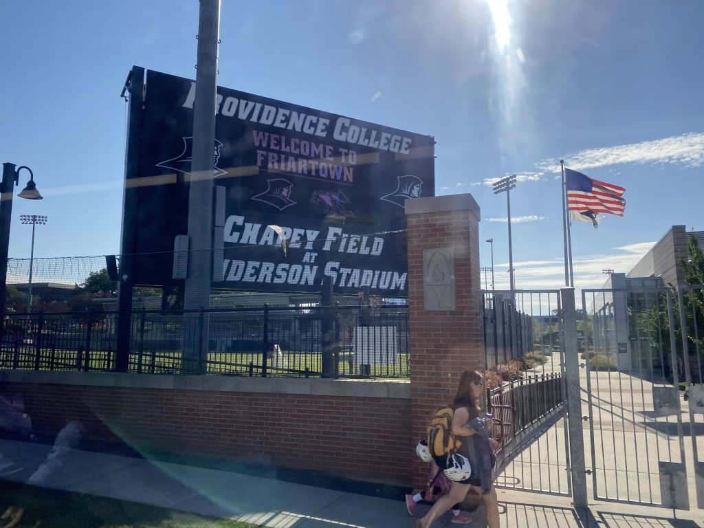
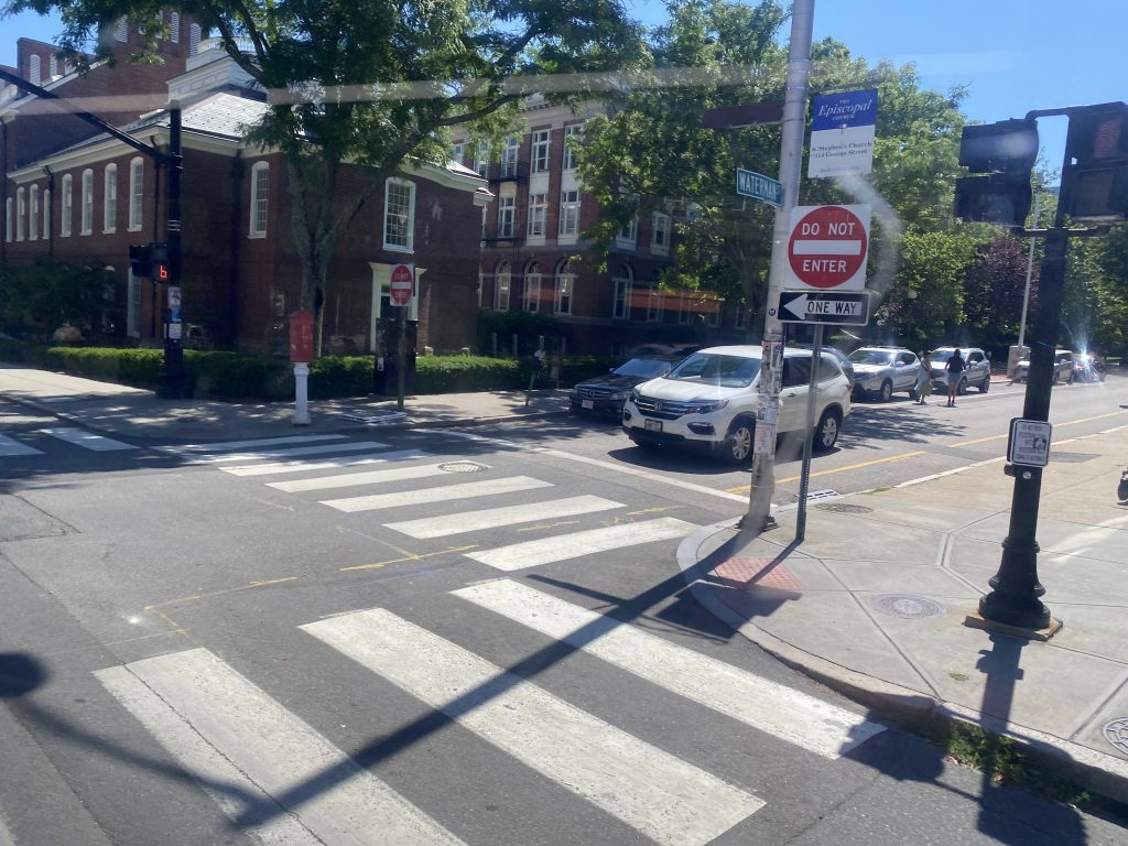
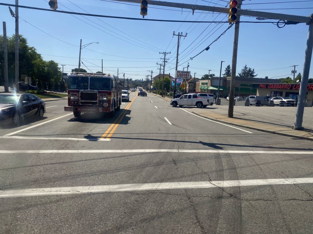
So, getting on at bus stop H and a driver handoff later, we’re off to the races. Normally it’d be a straight shot into the East Side tunnel to Thayer Street, but we had to get around Waterfire preparations. After the detour, involving going around via South Water and a U-turn, we made it to the East Side. We then crossed the Henderson Bridge via Waterman Street, and another detour! UGH! This one instead involved going down Waterfront Drive, up Valley and North Brow Streets, and FINALLY coming out at Massasoit and Waterman Avenues.

So long!
Into the underworld .-.
The East Side!
Jeff Bezos Market?
Henderson Bridge, we meet again.
Detour!

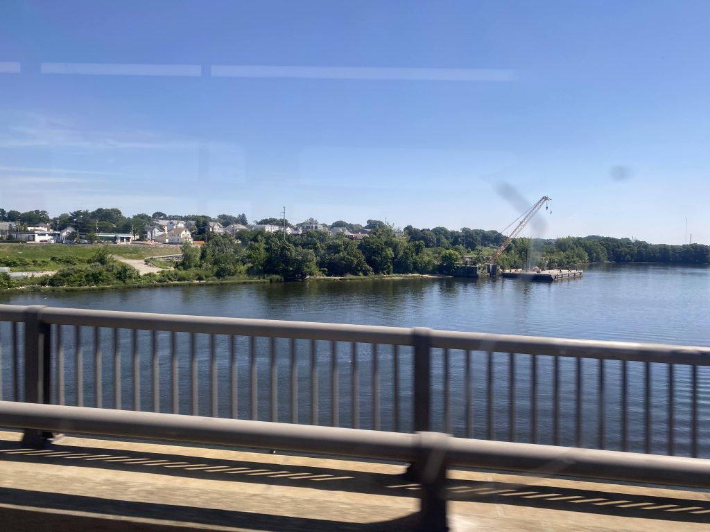
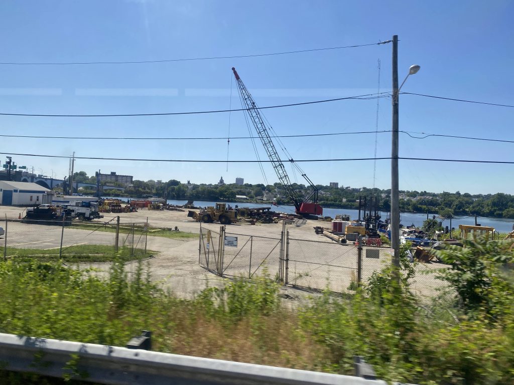
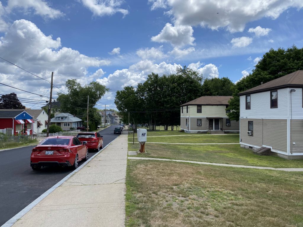
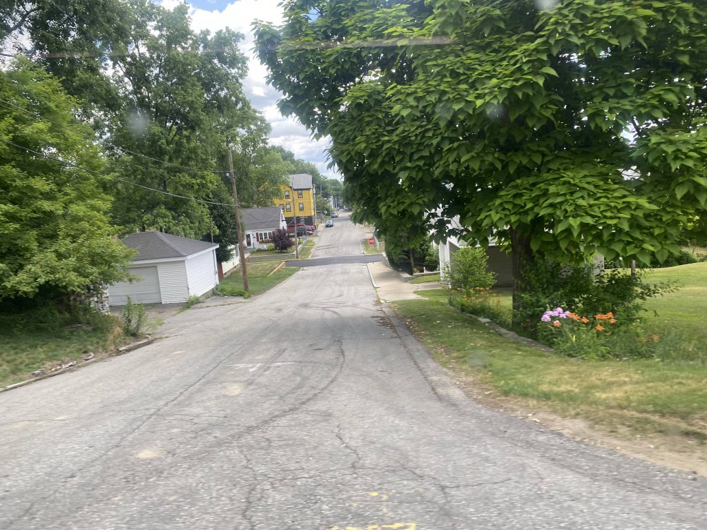
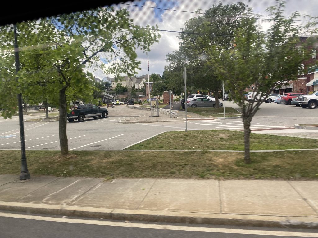
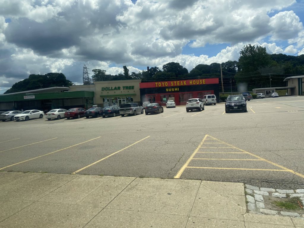
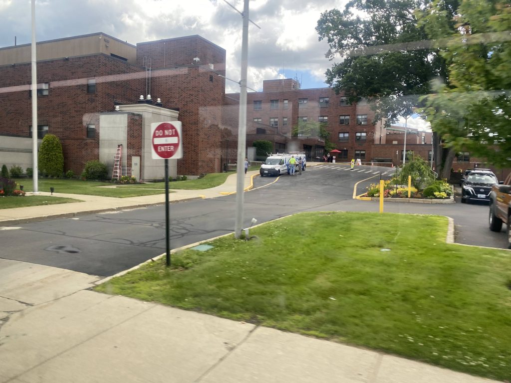
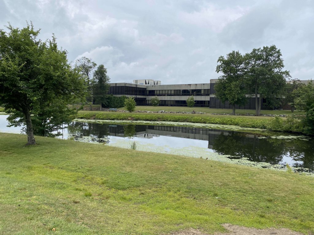
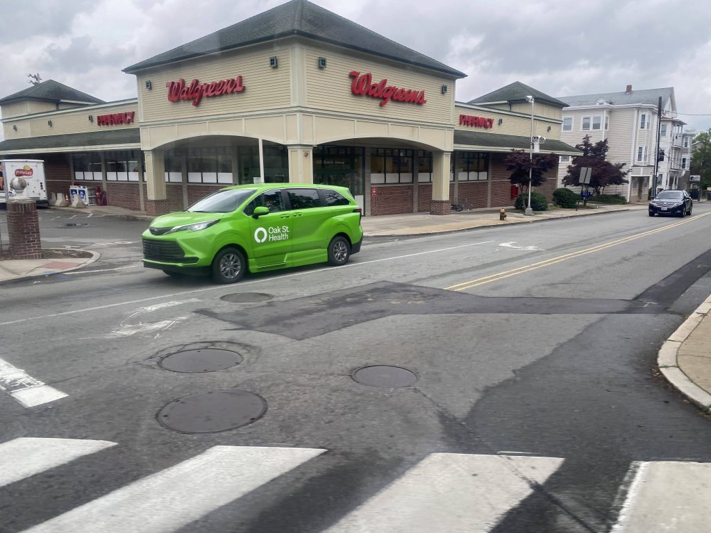
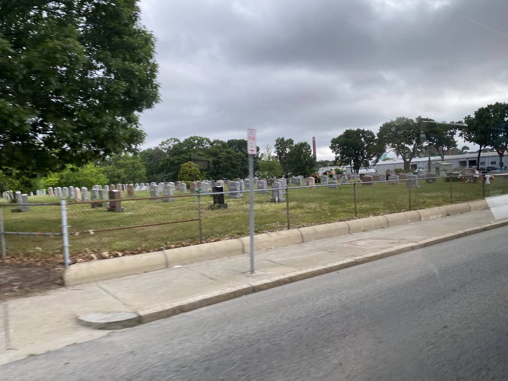
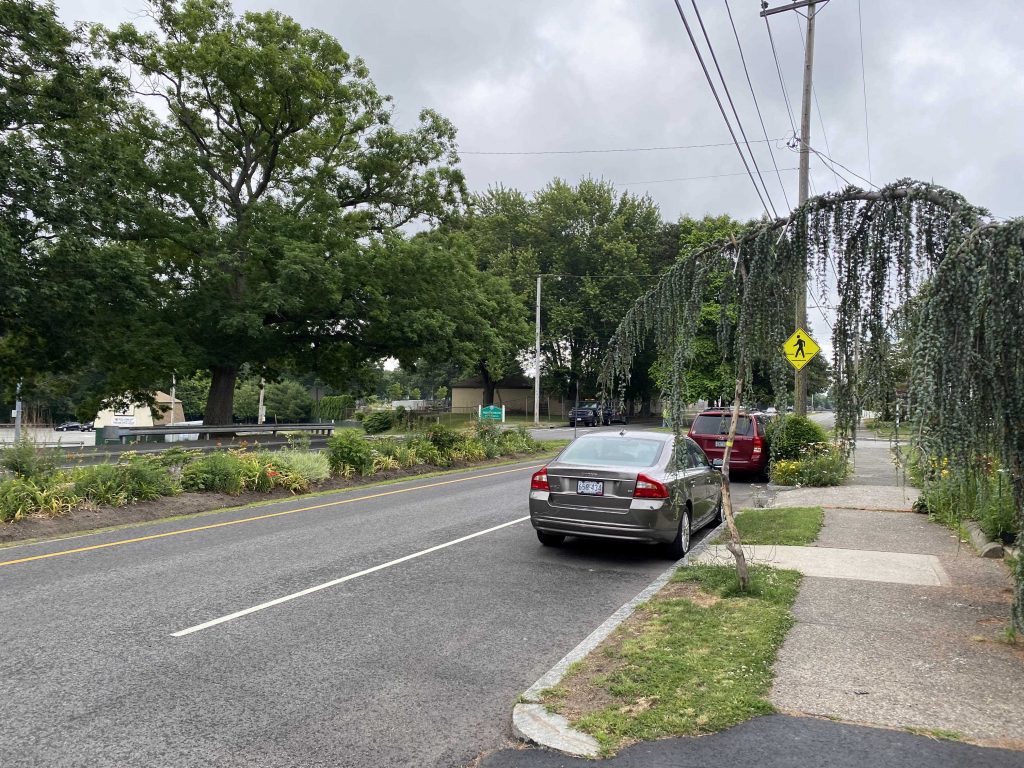
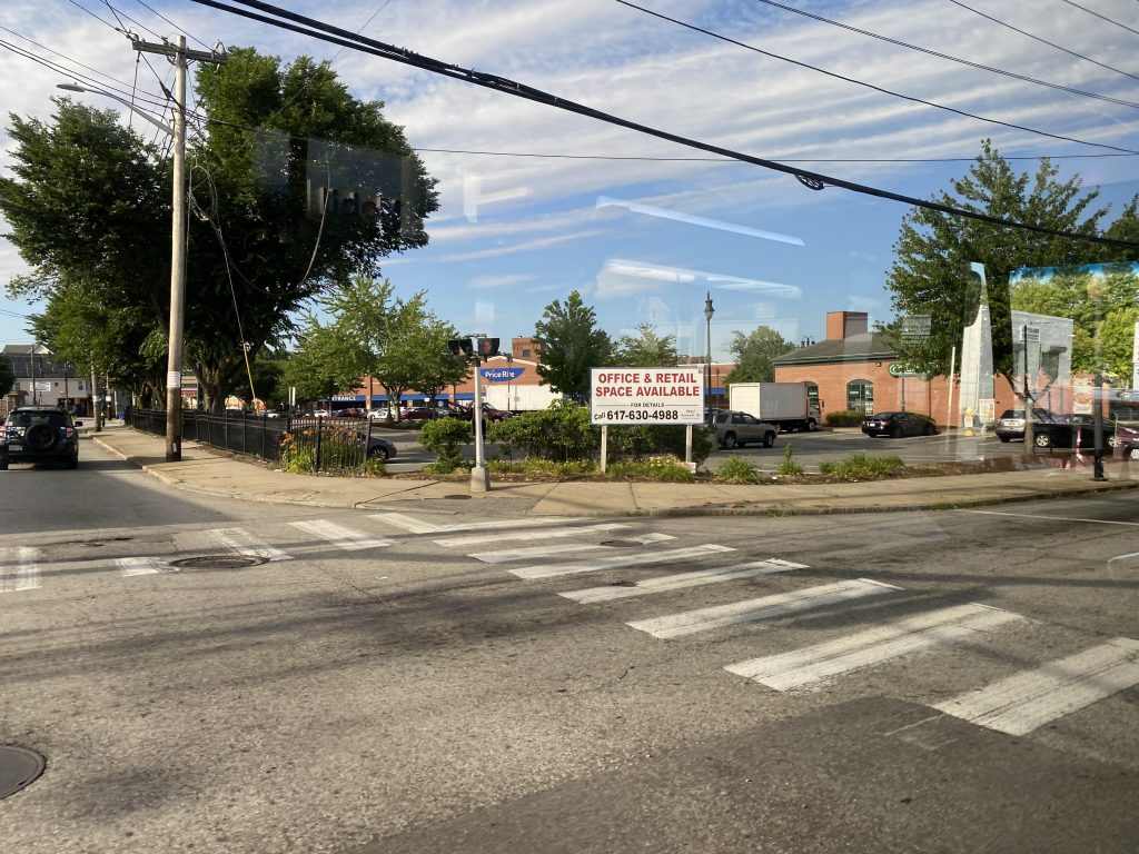
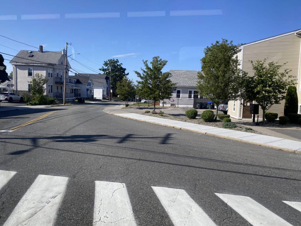
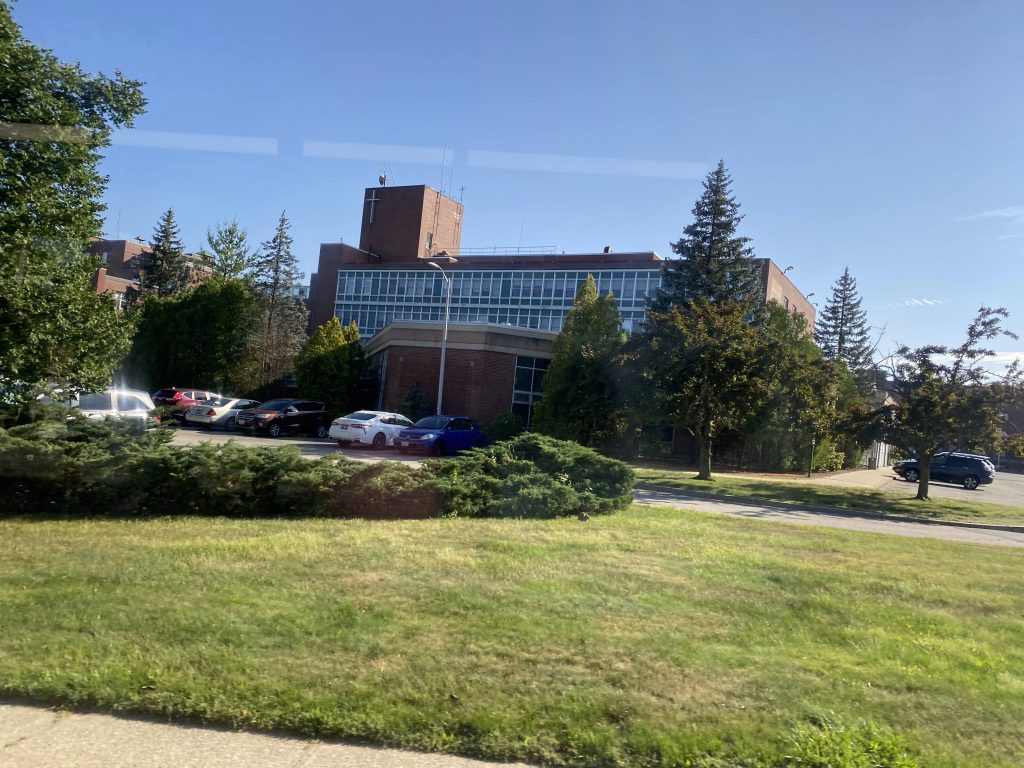
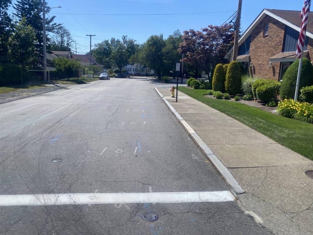
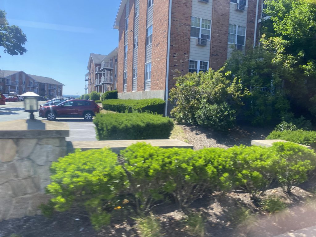
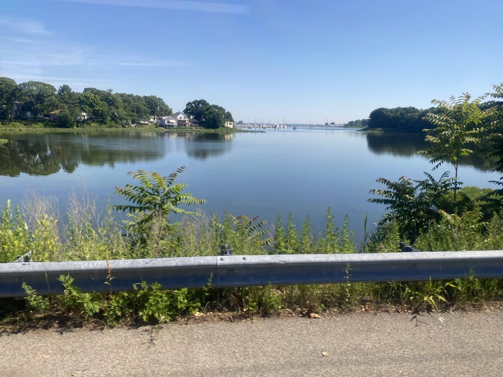
Going down Waterman Avenue, we took a left and went through the bowtie of East Providence. Then, we went towards Wampanoag Plaza and deviated into it. From here, it was a straight shot down Pawtucket Avenue all the way down. It was mostly residential, but we also passed Bradley Hospital, which is essentially Butler’s pediatric counterpart. Soon enough, the road became Bullocks Point Avenue, and we were in Riverside. Nice!

Some buildings
The bowtie!
Over Broadway
Deviation time!
Shaw’s but not the one we end at.
Another side street
The interstate!
More road…
Some more of the same
Bradley Hospital!
Wanna golf?
Some condos!
A local business
A church!
I spy…..the ocean.

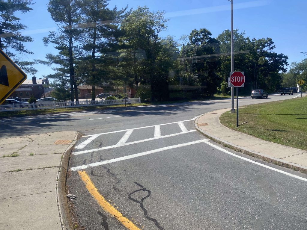
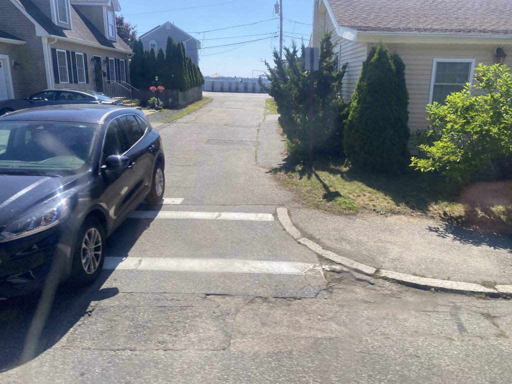
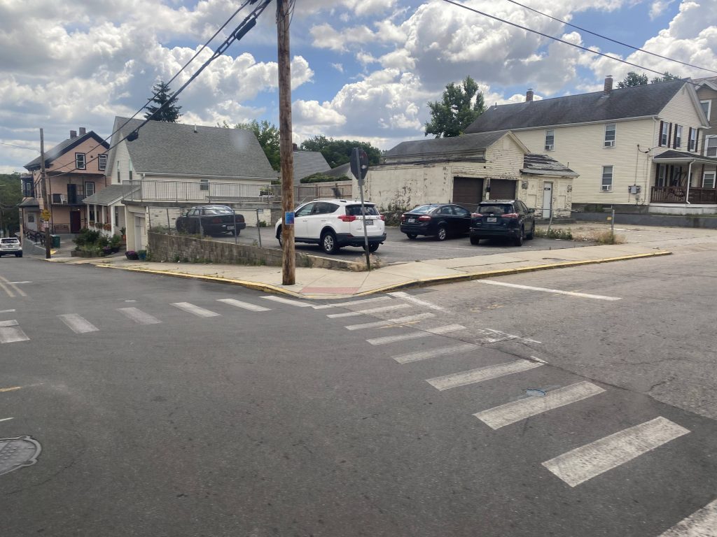
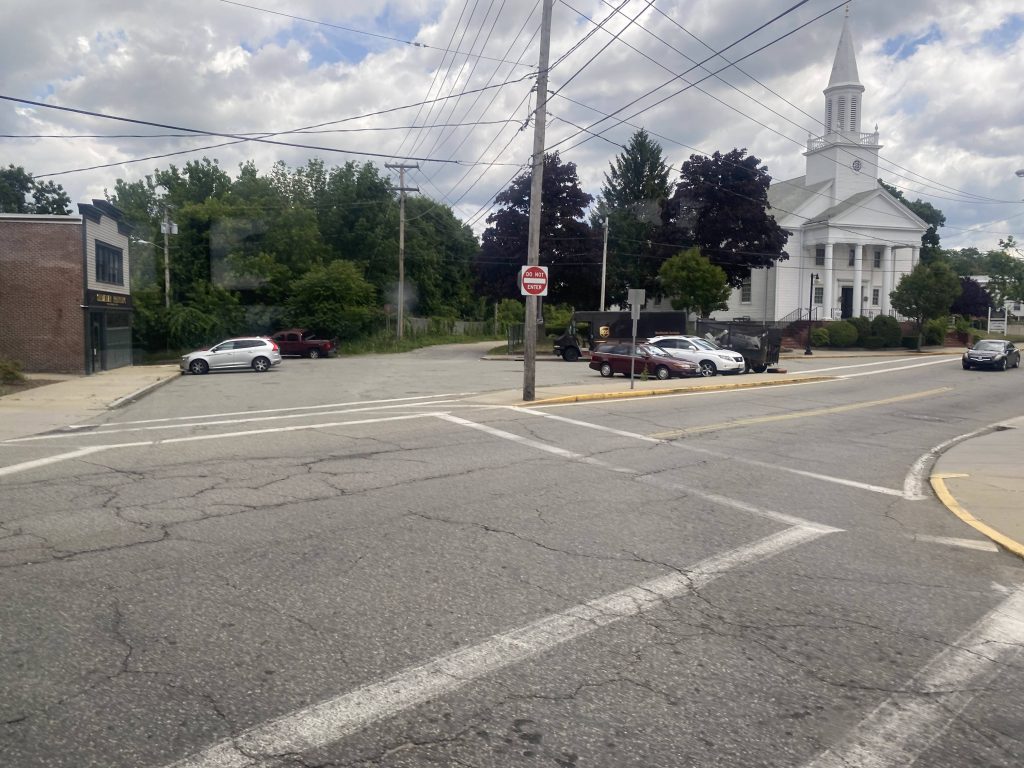
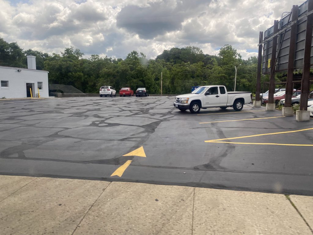
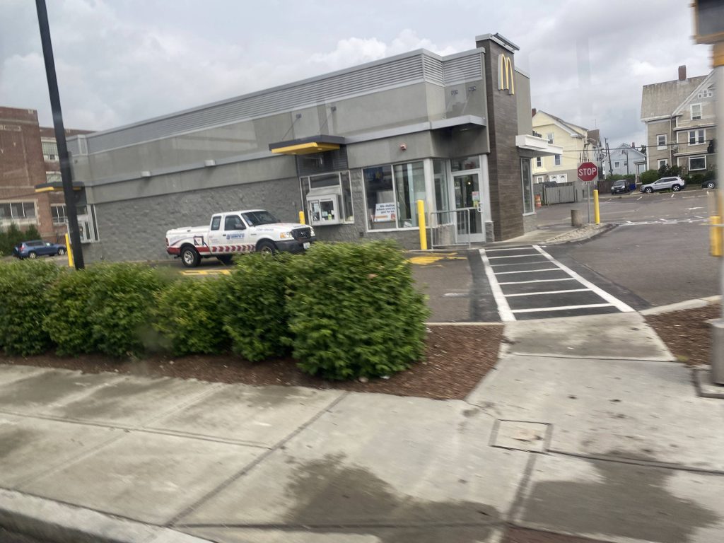
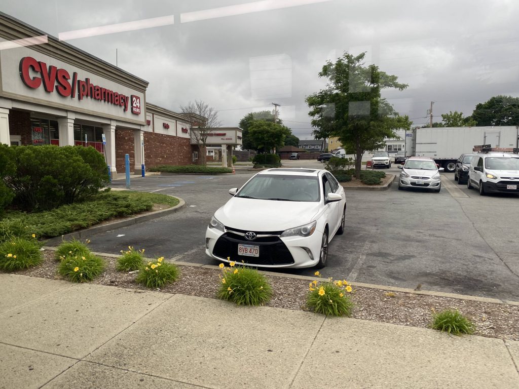
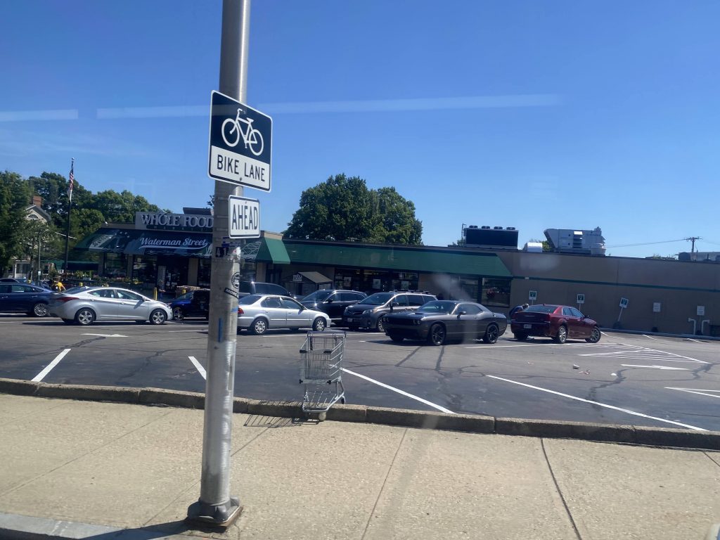
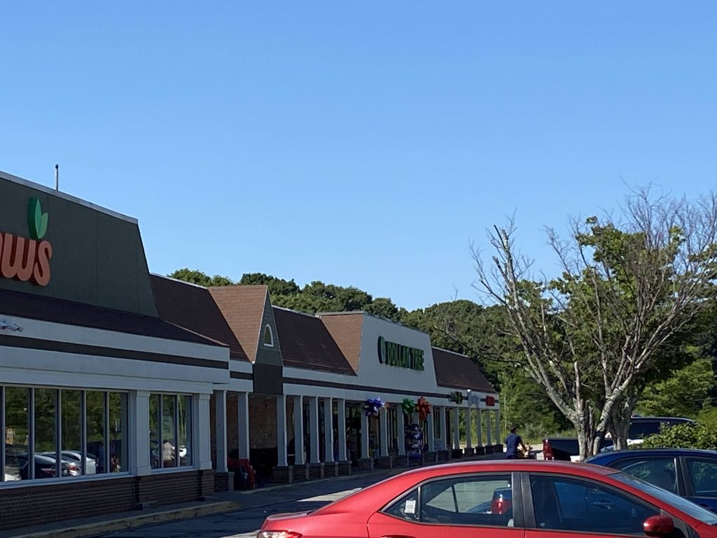
We eventually turned down Crescent View Avenue. After passing a small cove, we reached Willett Avenue and the end of the route, at a Shaw’s.

Crescent Park!
Ooh, scenic!
Look, a Dollar Tree!
The bus laying over

The good: It’s a direct link to Riverside! However, that’s where the good ends.

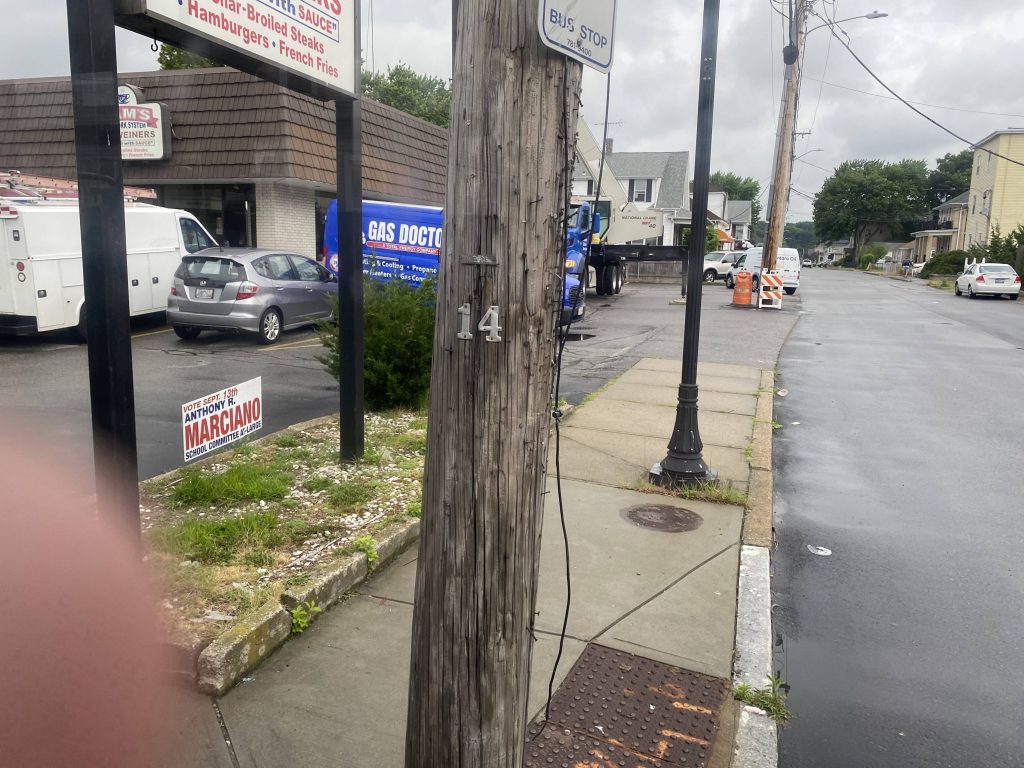
The bad: Why does the bus run every hour – with an almost 30 minute layover, when the route itself takes around 30 minutes from start to end?! Like, if it was a long-distance route like the 14 or 66, I’d understand. But, like, it isn’t! We’re only going a few miles outside of Providence! Maybe it’s a weekend-only thing, let’s see.

Oh

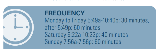
So, I was wrong. 40 minutes on Saturdays, 30 minutes on weekday days, and 60 minutes on weekday nights and Sundays. But, like, the layover time was almost 30 minutes on my weekend trip, which was on a Saturday. And, apparently, the layovers on weekdays are LONGER than the amount of time between buses! Alright, this route has a layover issue.

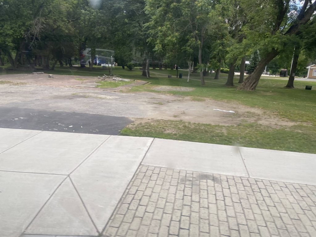
Nearby points of interest: Riverside and Crescent Park, of course. There’s also the rest of East Providence and the East Side, most of which is shared.

Overall, what’s with the layover time?! Like, why is the route just over 30 minutes with almost 40 minute layovers?! Definitely a headscratcher. Surprisingly, at least pre-COVID, it was a high ridership route. In fact, the highest of the three East Providence routes (that is, that didn’t serve as a link to another transit hub, with 1300 daily riders. Apparently it’d have even more, when it was interlined with the 3 (which, would explain a lot with the layover time).

Rating: 5.5/10

281 Flex (Woonsocket/Manville)

Alrighty, so if the 87 largely covers the most important parts of Woonsocket, what about outside the 87’s coverage area? Well, meet the 281.

The Flex zone in light orange. Darker orange is the 282 Flex

Alrighty, so first off, no scheduled stops. Yikes. But, what important places would it cover, if it did have scheduled stops? Well, let’s make a map. Why not have fixed stops like this?

Fixed stops on Flex?

Perhaps, it’d be something like this, originating at Diamond Hill Plaza (the 87’s terminus), with scheduled stops at Market Square, Walmart, and CVS’s headquarters. Of course, it could be changed. After all, this is Flex, we’re talking.

The good: It’s a sizable Flex zone covering the one-way-crazy city of Woonsocket, along with nearby Manville and some parts of North Smithfield. Mostly anything important can be accessed via this Flex zone.

The bad: C’mon, reservation only? Oh brother. See the above map for opinions. At the least, there could be a downtown-CVS HQ route, say, numbered 88 like proposed in the 2013 COA documents? Plus, the area has largely inadequate fixed route service, like the aforementioned lack of service to CVS. Also, why not have a Woonsocket/Cumberland express? that runs from, say, one of Cumberland’s villages to downtown via I-295 and RI-146 or US-6/RI-10? But at least make this on-demand.

Nearby points of interest: All of Woonsocket, Manville Village.

Overall, conceptually it’s not bad. But, as I said with the 242, c’mon. At least have it be on-demand like with GATRA GO. Plus, the area could use better fixed service, especially to places like CVS headquarters.

Rating: 4/10

87 (Woonsocket Circulator)

Alrighty, another crosstown! This time, it spans the entirity of Woonsocket without leaving. Officially, the route name is “87 (Fairmount/Walnut Hill)”, but the more fitting name is the Woonsocket Circulator, because that’s literally what the 87 is.

The route’s geometry

As a fun tidbit about this route, in all the years of its existence, it has never changed. Well, I lied. The timings changed. But, by and large, the routing hasn’t changed, and to my awareness is probably the only route that’s untouched since its inception in such a manner. Maybe I’m going to be wrong soon and decide to add an extra deviation or two in a year or two’s time. Hopefully not.

The old Woonsocket Station and the Providence & Worcester mainline

This route is a little awkward. Because the 54 ends in the dead center of the route, I had to get off and ride the route all the way to one end. In my case, I got off by High St. and went to Fairmount. From there, I waited out the short layover in the public housing complex and then got the return trip to Diamond Hill Plaza.

One of many housing projects.

Section 8 housing will be a common theme with this route. Starting off, we’re in the Fairmount neighborhood, as we go through a bunch of side streets. Eastbound trips turn up 2nd Avenue and go down River Street, Harris Ave., and Railroad Ave. Westbound trips don’t. You see, whoever designed Woonsocket filled it with one-way streets. And, as such, having sections of the route served by only one direction but not another will also be very common. From here, we turned down Main Street and looped back to head the opposite direction.

A side street
Turning!
More projects, oh my!
See track, think train.
Didn’t cross this one!
Crossing the Blackstone!
The old train station, I think
Market Square!
A park of some kind

From here, we turned down Clinton Street, which ran parallel to Social Street (where westbound trips travel), passing the 54’s and 66X’s termini at John Cumming @ the CCA. We passed by even more projects in the mean time, and turned right down Cumberland Street, then a left down Cass Ave. with Landmark Medical Center being on the same street.

A church!
A parking lot
Look, a Dollar Tree!
More projects?!
Paralleling the Blackstone
A Dunkin’!
Landmark Medical Center

Alright, so we’re on a main road of sorts, what now? Wait, oh COME ON! Another bundle of side streets?! Alrighty. We end up navigating through a narrow residential neighborhood, up Sweet Ave., Elm St., Florida Ave., and even more projects at Morin Heights Boulevard. Fortunately, these were the final projects on the route. It then became Linden Avenue and we eventually reached Diamond Hill Road.

Housing.
The last of the projects
More housing

Wait, it gets better. We deviated. Into a shopping plaza. The name? “Walnut Hill.” That has got to be the most generic name I’ve ever heard for quite literally any place. Put that name in the Midwest, for crying out loud. But, I digress, moving along. Why did we deviate in here, if there isn’t much? I dunno, but someone used the stop at Saver’s, so that counts for something. We then got back on Diamond Hill, and did a double deviation – into a Job Lot (which I think used to be a Walmart) and into Diamond Hill Plaza, where the route ends at Price Rite.

For lease!
Ocean State Job Lot, anyone?
Organize!
Another Tree!

The good: It serves a lot! It’s literally a Woonsocket crosstown, stopping at major locations in town and all the major housing projects! Fortunately, none of them are Chad Brown-levels of bad. You also have downtown Woonsocket and Market Square.

The bad: This isn’t inherently due to RIPTA, but rather the road layouts: it’s very one-way happy. I guess a frequency boost couldn’t hurt, either.

Nearby points of interest: Literally all of Woonsocket, essentially. Especially Market Square, downtown, and Walnut Hill/Diamond Hill plazas.

Overall, I wouldn’t touch this route with routing. It’s good as-is, however I’d probably give a frequency boost since I’ve seen the bus be mostly full for a couple of my trips on it. I mean, as of 2019 it had just over 600 daily riders, but due to a certain incident in 2020, that number isn’t fully accurate to present metrics. But it still gets decent ridership, and is quite possibly the best-routed RIPTA route. As such, it deserves a high rating. However, I’d imagine it becomes a nightmare when there’s events downtown (e.g. Winter Wonderland).

Rating: 8.5/10

51 (Charles St./CCRI Lincoln)

Alrighty, you want to get to CCRI? Well, just take either the 66, which expresses to CCRI, or the 14, 21, 22, or 30, which all run local to there? Wait, what? You meant the Lincoln campus? Ohhhhhh…..why didn’t you say so? Just take the 51!

This campus is cursed. I hate it. I really do.

So, we start off at the Lincoln CCRI campus, and going around the roundabout, we exit onto RI-246. A little hard to believe that given all the woodlands out here, we’re only 5 and a half miles north of Kennedy Plaza (in a straight line). Wait, a deviation! Yes, just like the 54 and 73, we deviate into Twin River! However, noone got on here.

See ya later, cursed campus!
Twin River! It was raining, hence the less than stellar quality.

Once we got out of Twin River, we went right again, and unlike the 54, we did NOT go express. So, instead we began going down Charles Street. It was largely residential, as every few stops people got on down here. Throughout, there were businesses lining the street as well. There were also a couple of parks and Esek Hopkins Jr. High, down by the intersection with Branch Avenue. Eventually, past the Home Depot, Charles Street split into two one-ways, with the one-way I’m on being next to the Northeast Corridor. Fortunately, this also meant we were near home. From here, we went up Canal Street and deviated into Providence Station, where I got off. The route would then continue to go down to RI Hospital.

No express for you!
A church
Walgreens!
A dirt lot
Insurance?!
Wait, another Walgreens?!
An apartment building on Charles St.
ALL. THAT. POWAH!!!
At least this isn’t the side of 146 with Chad Brown
Train tracks!
Hi, Mr. Governor!
See ya!

The good: It’s a straight shot up Charles Street to the CCRI campus and the casino! Also, on Sundays, the college isn’t even served (likely due to the lack of classes). So, in a sense, the schedule works out pretty well too. It’s also relatively frequent, being every half-hour. However….

The bad: I think it might be better off being a little more frequent (every 20 minutes), or maybe alternating short/long trips like with the 20, where trips alternate between ending at the Stop & Shop on Mineral Spring, and the full run to Twin River and CCRI, which would also bring 20 minute frequency to Charles St. itself and 40 minutes to CCRI and the casino. Also, Charles Street can get clogged up quite easily during the evening and morning commutes.

Nearby points of interest: Twin River and CCRI. There’s also the stuff lining Charles Street and the train station.

Overall, it’s a pretty good route. Enough so to where as of 2019, it was the highest-ridership non-key route. I do, however, think that turning it into a key route with long/short trips (think like the 20) would be a better idea, especially given the proximity to the Stop & Shop on Mineral Spring Ave. Or, if the 30 minute frequency to CCRI and the casino were to be preserved, why not every 15 minutes up to said Stop & Shop, and 30 to the casino and CCRI?

Rating: 7.5/10

73 (Mineral Spring Ave./Twin River/CCRI)

WARNING: copious amounts of caps and cursing incoming. Reader’s discretion advised.

Dear god, this one was a troublemaker. Enough so to where it took me multiple attempts to even ride it. Let’s run through them, shall we?

ATTEMPT #1: So I was on the 71 and I pull the cord for Pawtucket and- wait, what? WHAT?! The fucking driver just DROVE OFF without even stopping like he’s supposed to?! What the FUCK gives?! Like, I get you’re probably late and all, but you gotta pick people up too!

ATTEMPT #2: Alrighty, round 2! So, I got off the 80 with about 10 minutes to spare, NOT MISSING IT THIS TIME! And, holy crap, the bus actually stopped. And, with that, I boarded the bus. To sum up the “difficulty” of the route, if the 54 is the route from Hell, the 73 is more likened to trying to catch a shiny Abra in Pokemon without any level of preparation. Not the worst, but definitely an annoying bug to squash.

Off to the races!

So starting off, we pulled out of Roosevelt Avenue onto Exchange Street, which then became Goff Avenue. From here, we turned down Main Street, turned again to stay on Main Street, then it became the route’s namesake – Mineral Spring Avenue. Normally, this road is a traffic nightmare, if my experience on the 58 is to go by. But, unlike this route, the 58 doesn’t go into Pawtucket. Going straight down, we crossed over the Northeast Corridor (which had a MBTA train led by an F40PH passing under as I was going over!)

An apartment building
Bushes and trees
A cemetary
A McDonald’s?!

Going down Mineral Spring, it was a bit of everything to be seen. Houses, old mills, businesses of various types. And, at least traffic was free-flowing. And, huh, this thing actually gets ridership. Surprising. Nevertheless, we pressed on down Mineral Spring, passing Smithfield Avenue and, eventually, Route 146.

Some more housing
An old mill
Wait a sec, this isn’t a Dollar Tree!
That’s more like it.
Ah crap, my thumb got in the shot.

However, we didn’t meet RI-146 at Mineral Spring. Instead, we met with it after going down Charles Street. No express today! So, we pressed on up Charles Street and RI-246, to then deviate into Twin River and the Lincoln CCRI campus. And FINALLY, the route was over.

A laundromat!
No express today!
Woodlands
Gamble responsibly!
Some roads
I freakin’ hate this campus.

The good: It’s a one-seat ride to the two major places in Lincoln!

The bad: It’s on-time performance can be bad, with drivers sometimes outright skipping Pawtucket. Yikes. It also doesn’t run on weekends.

Nearby points of interest: The casino and CCRI mainly. Maybe Mineral Spring Avenue.

Overall, this route can be really tricky to work with. On-time performance is just bad enough to where the driver might skip Pawtucket entirely. However, it also does give one-seat rides to destinations warranting transfers to Providence, namely the CCRI campus and more importantly, the casino.

Rating: 4.5/10

80 (Armistice Blvd.)

So, I guess one can consider this a part 2 to the 76’s post. This route largely mirrors the 76, however instead of going up Central Ave., it goes up Armistice Boulevard. To get here, I walked down Daggett Avenue from its stop on Central Ave., to the Armistice Boulevard stop.

Woah.

So, starting off, the route starts at Slater Park and then continues to where I got on. Fortunately, it isn’t that much I missed. When I got on, we kept going down Armistice Boulevard. Nobody got on until the CVS at Newport Avenue, where one can transfer with the 35. Eventually we got to George Bennett Highway, banged a left, and went down it.

Where I waited
Mixed case in Pawtucket?!
Someone’s house
CVS!
Another side street!
A building and parking lot
Who was George Bennett, anyways?

Eventually, we hooked a right down Columbus Avenue and passed McCoy Stadium. Normally there’d be a special shuttle service, however that’s reserved for ball games – and McCoy Stadium isn’t occupied by any baseball teams anymore, either. Nevertheless, we went left down Pond Street and right down Summit Street. This area was the most-used part of the route. From here, we went down Walcott Street to Exchange Street, where a left turn later brought us to the Pawtucket Visitors Center.

A parking lot
McCoy Stadium
The source of most of the 80’s ridership
The freeway!

The good: It’s a direct link between downtown Pawtucket and Slater Park!

The bad: …that most people have no reason to use. Essentially noone’s gonna be using this route when it runs every 1 and a half hours, AND shares the same lone bus that the 76 gets. Also unlike the 76, no weekend service! No, no, no! I’m sure if this and the 76 were decoupled, it’d be a much better route. Hell, even as things stand, noone would still use the 80 because, face it, most people in the area between Slater Park and McCoy Stadium (i.e. most of the route) have cars and can drive, and almost certainly prefer that.

Nearby points of interest: …not a lot. Slater Park, is the only one still open.

Overall, why? Just, why? Why can’t the McCoy Stadium-downtown section just be an extension of the 76, with the areas between the stadium and Slater Park being axed entirely? Unless I’m wrong – and very wrong, at that, noone, NOT EVEN A SOUL, uses the route out there and would be better served by a direct connection to Providence.

Rating: 2/10

76 (Central Ave.)

Alrighty! As for local routes that don’t end outside Pawtucket, you really have two options: the 76 and the 80. Both are short and sweet routes that run eastbound out of downtown. Now, out of this set of twins, let’s look at the 76.

Off to the races!

Pulling out of Roosevelt Avenue, we immediately go left up Main Street, which quickly becomes Walcott Street. We then go left a side street and right onto …Armistice Boulevard??? Wait a second, this isn’t the 80! Fortunately, we then hooked a left down George Bennett Highway, running parallel to inactive railroad tracks (at least, to my awareness it’s inactive).

Just outside downtown
The interstate!
Making some turns
A cemetary
Some freight containers

We then took a right onto Cottage Street and HOLY CRAP, a deviation! Yes! We deviated into a Stop & Shop! All of one person got off here, and it was just myself on the bus. Going back onto George Bennett Highway, we turned left onto Central Avenue, going straight down to the end of the route. It largely wasn’t anything exciting, however we did go past Newport Ave. for a connection to the 35. The end of the route was in sight, though, after a number of side streets, and the bus banged a left onto Benefit Street and into the busway on Thurber Street.

Railroad tracks!
Stop & Shop!
Some housing on Central Ave.
Look, a Dollar Tree!
Some more houses

After getting off, I walked all of a mile or so to Armistice Boulevard to get the 80.

Onwards!

The good: It’s a direct link between downtown Pawtucket and the neighborhoods along Central Avenue! It’s also short and sweet.

The bad: The frequency. 90 minutes for a short route?! Yikes. Also, why is the route MORE frequent on weekends?! That’s a headscratcher for sure. It’s also at the bottom of ridership for RIPTA’s fixed routes, being the 2nd least-used normal route. How about, 118 daily riders as of 2019? Yikes.

Nearby points of interest: Not much. Stop & Shop and downtown Pawtucket??????

Overall, while this route is a necessity, it’s a bit of a headscratcher as well. Like, it’s not bad inherently, it’s just that I can’t help but feel RIPTA did this route wrong.

Rating: 5.5/10

92 (R.I. College/Federal Hill/East Side)

Alrighty, so what’s the first thing you think of when you hear “Italians” and “Rhode Island” in the same sentence? Federal Hill? The mafia? Something different entirely? Well, here’s the 92.

Laying over at RIC

The route starts at RI College, and takes a right out to Mt. Pleasant Avenue. And we crawled. Like, at a snail’s pace. Eventually, though, after what felt like 25 years, we made it to Chalkstone Avenue, and eventually Atwells Avenue. And oh boy, this was foreshadowing.

So long, RIC!
One of the streets
A church!

Going down Atwells Avenue, it was largely lined with businesses. Think, similar stuff to Olneyville. Eventually, we made it to Eagle Square at Valley Street. Weirdly enough, no current routes go down Valley Street, although some of the stuff laid out in the Transit Master Plan calls for a route to run down this road.

Organize!

We crossed over the Northeast Corridor and US-6, and we were in Federal Hill. And, holy crap, it’s beautiful. Well, sans the traffic. It’s enough to where the route has to be detoured twice a week due to “al fresco” dining. What is “al fresco” dining? Well, businesses can participate in street dining, where Atwells Avenue is closed off to vehicular traffic two nights each week, while local restaurant patrons are invited to eat outside with the street essentially being used as a community patio. It’s one of those community events that were birthed out of necessity due to the pandemic, and quite truthfully, while you probably won’t find me eating out up there, I still think it’s a good idea in general especially for boosting business. However, as we trudged past, we eventually (after another 10 years) made it to I-95 and Lasalle Square. And, from here, a clean shot to Kennedy Plaza.

The freeway and train tracks
Federal Hill!
More Federal Hill!
Oh my, I-95.
Finally downtown!

Now, I’d end the review here HOWEVER, just like the 1, the route doesn’t end at Kennedy Plaza. From here, we kept going down to Dyer Street and past the South Street Landing. Unlike the DTC routes, though, we went left down Point Street, which became Wickenden Street. And, oh god, it’s very narrow a street. But it gets worse. We turned left down Ives Street, which was even tighter a fit. How, why, just why? Why not just use Gano Street? Fortunately, we turned right down Pitman Street and it was a clean shot into Eastside Marketplace.

The good: It’s a direct link between RIC, Federal Hill, and the East Side via Kennedy Plaza. It serves a lot of people, and moreso when school is in session at RIC. Sometimes they also run tourist trolleys up this route, which I think would be more befitting than a normal 40ft bus. It’s also very frequent, being every 20 minutes on weekdays, and 30 minutes on weekday nights and weekends. It also shows with ridership, being in the top 5 as of 2019.

The bad: The roads can get clogged very quickly, and while I like the street dining, that probably doesn’t help the situation. Also, the very narrow streets in the East Side.

Nearby points of interest: Eastside Marketplace and the nearby Salvation Army store exists! There’s also Federal Hill if you’re into fine dining, and RI College.

Rating: 8.5/10

55 (Admiral St./Providence College/R.I. College)

Alrighty, the 55! Looks like we’re visiting two full-on colleges today instead of just one! And, it’s Providence and Rhode Island Colleges. Also two very different ones. One’s your bogstandard state school, and the other a private Catholic college. Let’s get this show on the road, shall we?

The guy next to me was feeding the pigeons, and I was tempted to pet it. I ultimately didn’t, though.

The route begins at Kennedy Plaza, and we make a series of turns on to Francis Street. From here, in the 5pm traffic, we inch towards the State House, and eventually we hook a right onto Gaspee Street. From here, we past the train station and …a right towards North Main and Charles Street? I mean, whatever works RIPTA. We go past the interstate and then over RI-146 and …oh no. Not Chad Brown.

Connection available to M.B.T.A. Commuter Rail and AMTRAK.
The interstate
Oh dear god no, not Chad Brown

“Oh please, Chad Brown isn’t a bad place,” you might ask. Well, let me tell you how bad it is. Here you go. Do NOT go to Chad Brown. Do not do so for a bet. Don’t get off the bus here. Don’t even THINK about it. Unless, of course, you enjoy being shot, having your property shot, tires slashed, windows shattered, and being caught in gang crossfire. A family community? Sure, more like a family of gangs. But, perhaps, you know someone that lives here, or you yourself live here, but on the 2nd or 3rd floor of a multi-family house. In which case, you’d probably be safe. It’s bad enough to where when RIPTA is looking for drivers for this route, they look around here specifically because of how familiar a face the driver will be. But please, if you value your life, do NOT go to Chad Brown.

Yikes.

If the above Google results (which are the first ones that aren’t ads or images) aren’t enough to deter you, bless your soul. Fortunately, because I value my life, I didn’t get off here.

EDITOR’S NOTE: I do want to be clear, though, my issue isn’t with the people that live in Chad Brown that aren’t involved with the gangs, or any neighborhood with a bad reputation. I’m pretty sure they don’t want the area to have as bad a reputation as it has, and understandably so. My general outlook is that, if anything, it’s sad that a few souls decided to ruin what is probably an otherwise fine neighborhood. And even then, I’m sure most of the people in the gangs are probably involved due to falling into a bad situation, and seeing it as their way out.

We then hooked a left down Huxley Avenue to deviate into Providence College. One person got off here, and then we went around the roundabout and waited for the gate to be opened to be let out.

GHETTO AF DOLLAR TREE!
Friar Pride, anyone? (no, not a PC student or grad)

Pressing onwards, we’ve passed a number of housing developments and businesses, nothing to get excited over. Then we crossed into North Providence and, wait, what? This is the same deviation that the 58 did – just from the other side! Well shit. And, I think I have another rodeo with here since I still have the 50 to tackle.

A side street past PC
An empty lot near an apartment complex
Same Tree as from the 58

So, we deviated into the plaza and back out, then kept going up Smithfield Road. However, we didn’t last long as we turned down High Service Avenue and towards Fatima Hospital. Nobody got on or off here either. And, from here, it was a straight shot down High Service Avenue and Mt. Pleasant Avenue to RI College, the route’s terminus.

North Providence
Fatima Hospital!
Near RI College
Welcome to RIC!

The good: It’s a necessary link to Providence College by transit! It’s also nice it serves RIC and a supermarket. I’d presume that during the academic year at both schools, ridership is considerably higher than the 770 people daily that the State of the System report suggests. That, though, is probably further inaccurate due to COVID-19 being a thing. It’s also nice that RIC has a one-seat ride to the train station via this route.

The bad: It also serves some neighborhoods that you probably shouldn’t be in. I’m sure Chad Brown has plenty of fine men and women that live there, just trying to live. But, the fact that it’s often associated with gang violence in the media is …eh. It rubs me the wrong way.

Nearby points of interest: RIC and PC are the big ones. There’s also the small stretch of Charles Street, and the shopping plaza in North Providence with Shaw’s. Now, for points of disinterest? Chad Brown, easily. I’ve gone in detail as to why earlier.

Overall, it’s a necessary evil of a route. Like, the routing itself is not bad or anything, and on-time performance is pretty good. However, it does cut through notorious areas that are in the media for all the wrong reasons, and with that, while I’m about to give it the rating it has with “ride with caution, especially at night” in mind. And it’s a shame, because I’m sure most people in Chad Brown don’t want it to have the bad reputation that the gang activities give it.

Rating: 5/10 (due to safety concerns externally, 7/10 otherwise)

242 Flex (West Warwick/Coventry)

Alrighty! No, I haven’t ridden this route, however I’ve been around the Flex zone more times than I can count. That said, this is the 242 Flex.

Oh no.

Alright, so the Flex zone, as the map above describes, has no scheduled stops. That means, you have to call in a day in advance and schedule a pickup and dropoff. That ALSO means, if your destination is unserved by RIPTA (think: the park & ride lot off RI-117 outside rush hour, or anywhere on Wakefield Street between Phenix and Natick), then you better have scheduled a second pickup and dropoff. There were proposals to pilot an on-demand program, but alas it didn’t come to fruition. Now, COME ON RIPTA! WHY?! Even GATRA is better in this regard! Like, I get how it wouldn’t run on weekends, but maybe weekday ridership wouldn’t be so hindered if it was on-demand or had scheduled stops. Alright.

The good: It covers Warwick around the malls and CCRI, along with West Warwick and some of Coventry!

The bad: The map is outdated. Like, grossly outdated. I wouldn’t expect it to have the summer ’22 changes, but it doesn’t even reflect the fall ’21 changes! The 29 doesn’t go to Warwick Mall (or West Warwick, for that matter!), and the 13 was rerouted to CCRI instead of Warwick Mall. Hell, the 14, 22, and 30 were all rerouted to CCRI as well! Plus the 16 and 23 makes this Flex even LESS useful. Now, that’s not to say it’s fully useless. There’s some spots, especially along Centerville Road, that are only regularly served by the Flex. Also, we really have to call a day ahead? Why isn’t it on-demand, or with scheduled stops? Hear me out:

Why don’t we add scheduled stops, making the 242 into a circulator route? The circulator would have stops ordered as such: CCRI (departure), RI Mall, Warwick Mall, Arctic Center (via Providence St./Main St.), Cowessett Corners, Market Basket, and back to CCRI via College Hill Road (arrival), then go lay over. It’d look like this:

Oh boy

This, inherently, though has its flaws. The biggest one, that I can think of, is that the schedule would have to be padded to Hell to account for any custom deviations that riders would make. Plus, the mere size of the 242 would make scheduled stops anywhere a tricky situation. Although, given the mere size of the Flex, maybe splitting up might work? I genuinely don’t have any good ideas that would allow for scheduled stops.

Nearby points of interest: West Warwick, eastern Coventry to name some. You also have Bald Hill Road and CCRI, and the malls. There’s also NEIT, which used to be a Flex-exclusive, but I imagine the 16 would cannibalize any ridership that generated.

Overalll, as I said in the 282’s post, I like the concept of Flex. However, what irks me is that one has to call ahead of time since there’s no on-demand part of the system, and no scheduled stops in this zone. And, as such, I’d have to give it a low score mostly from no on-demand service. Ridership, like mostly any Flex route, isn’t good, with only 29 daily riders as of 2019.

Rating: 3/10