311 (Greenwich/Port Chester)

Alrighty, so the first of two CTtransit entries! Let’s check out the only regular bus service Greenwich has throughout the day. And…..

*looks at route map*

Oh no. No, not New York…..

It’s a bus, but not mine!

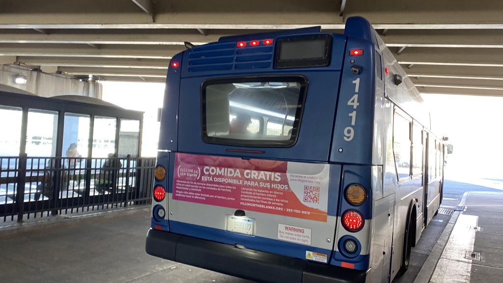
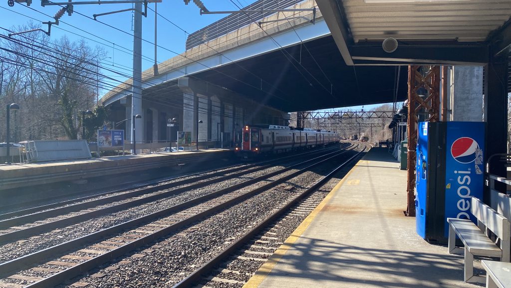
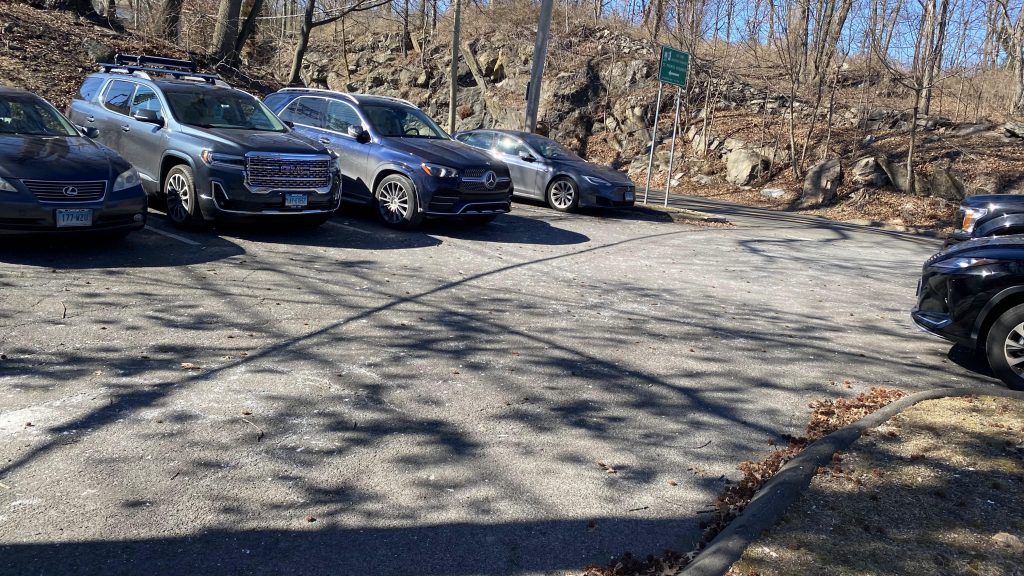
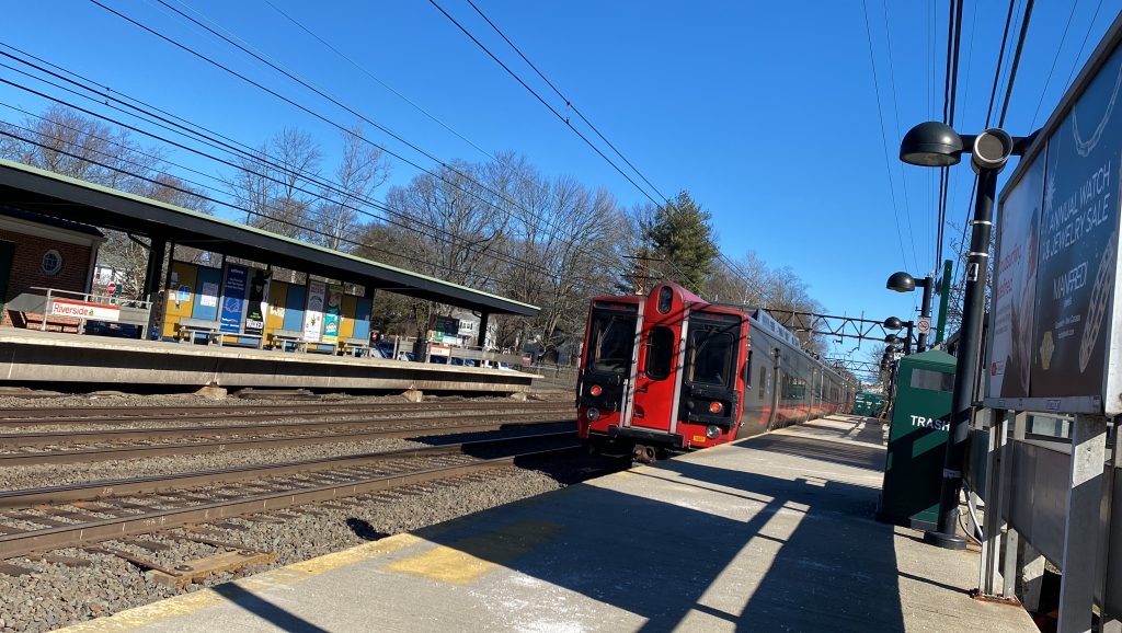
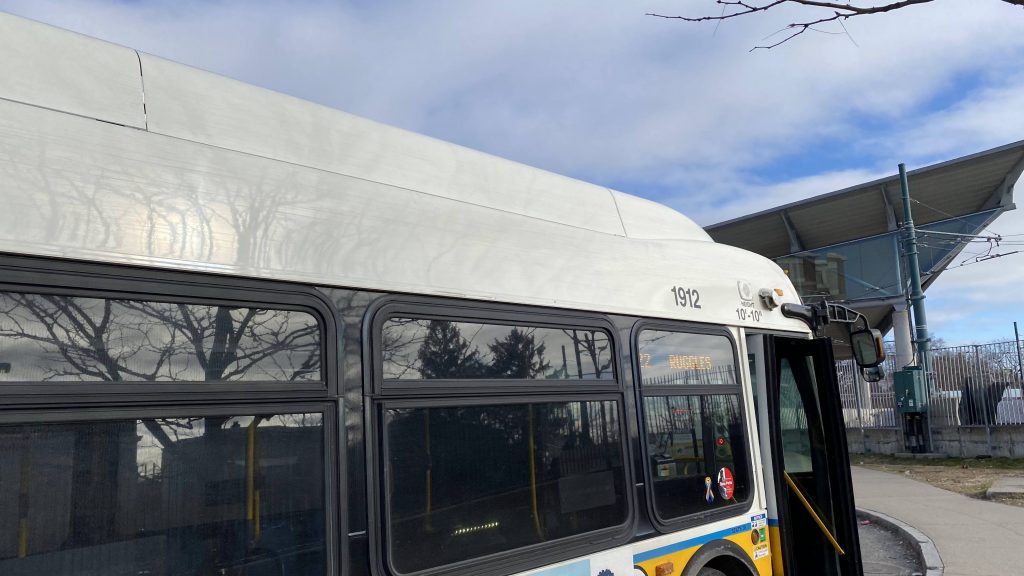
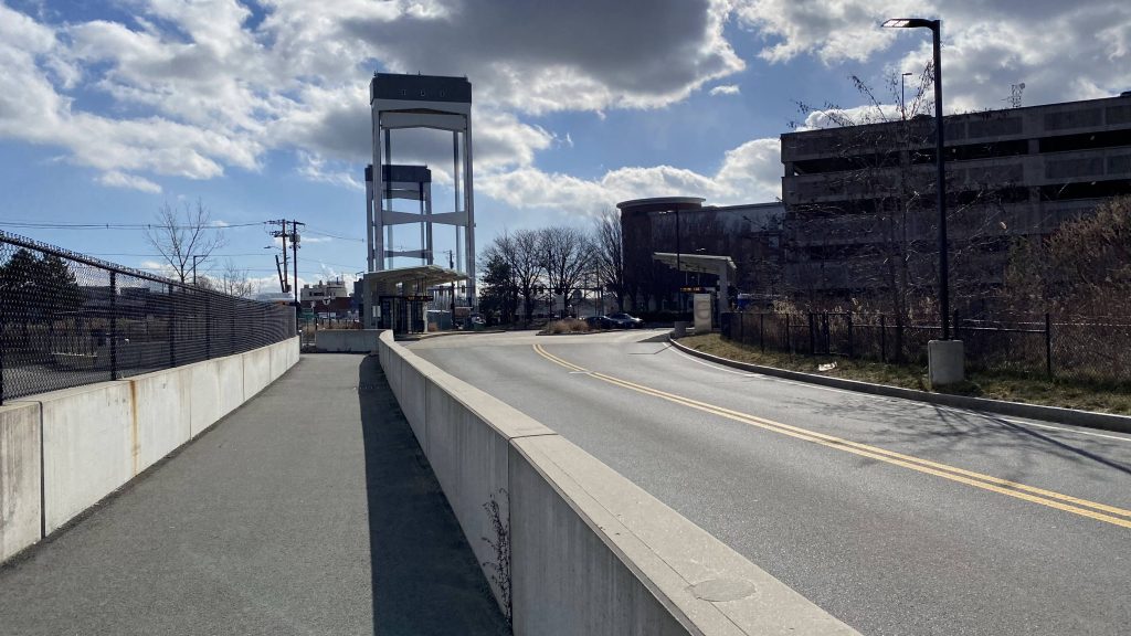
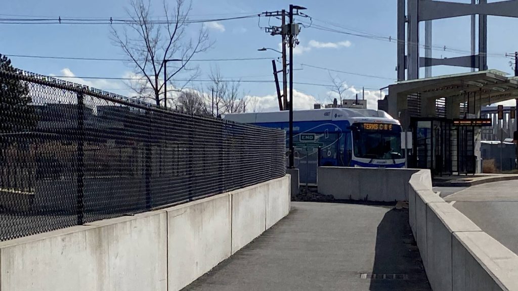
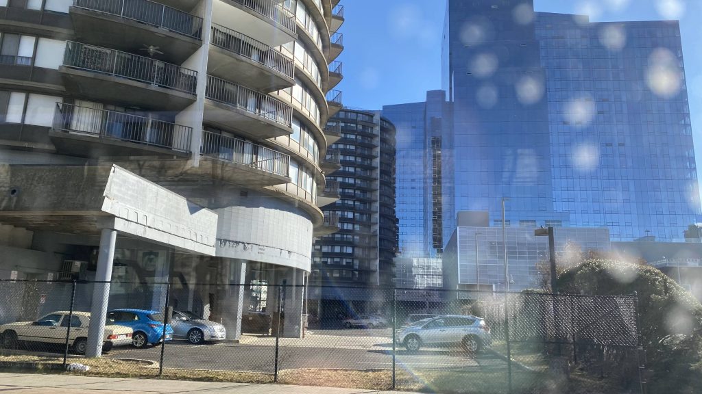
So, at the McKinney TC (Stamford MNRR), we board a bendy bus under I-95 and the bus is already pretty full. Damn, good thing we have a bendy bus to work with! So, off to the races we are, and down Route 1 we go! So, of course, it gets very suburban really fast. However, hints of urbanization and density still exists, as there’s a mix of apartment complexes and single family housing in sight. We even pass a ShopRite and a Stop & Shop, and quickly enough we’re in Greenwich. Yay!

Downtown Stamford!
Dirty window!
Finger lickin’ good! …if you want bowel issues, that is.
Apartment complexes!
More buildings!
I don’t know why the bus stop there, but whatever.
Apparently there’s an ACME in this plaza. Don’t tell Wile E. Coyote!

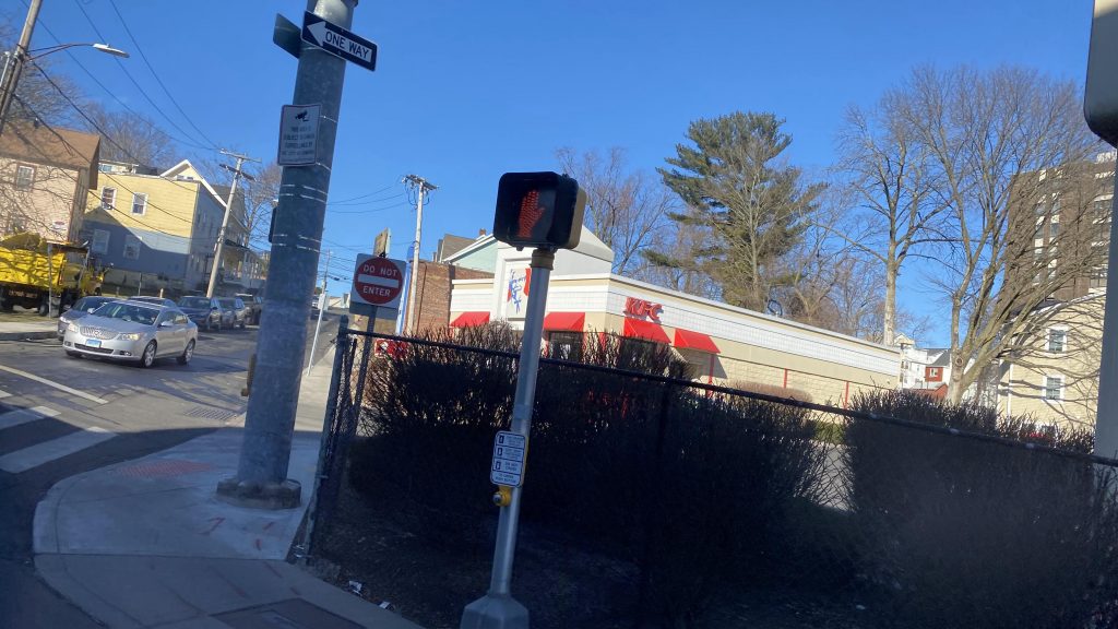
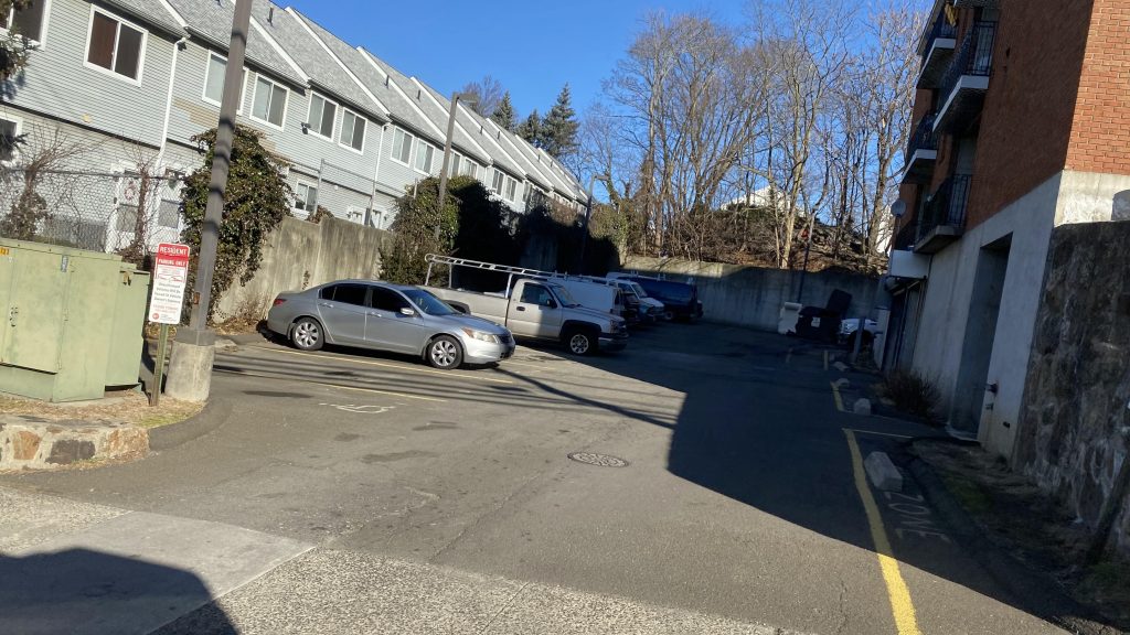
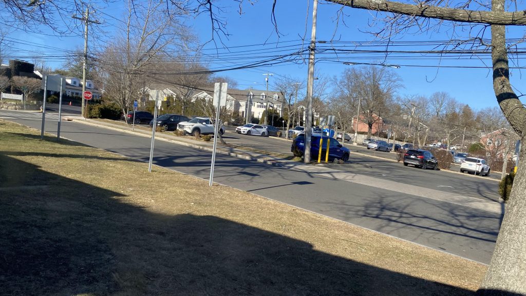
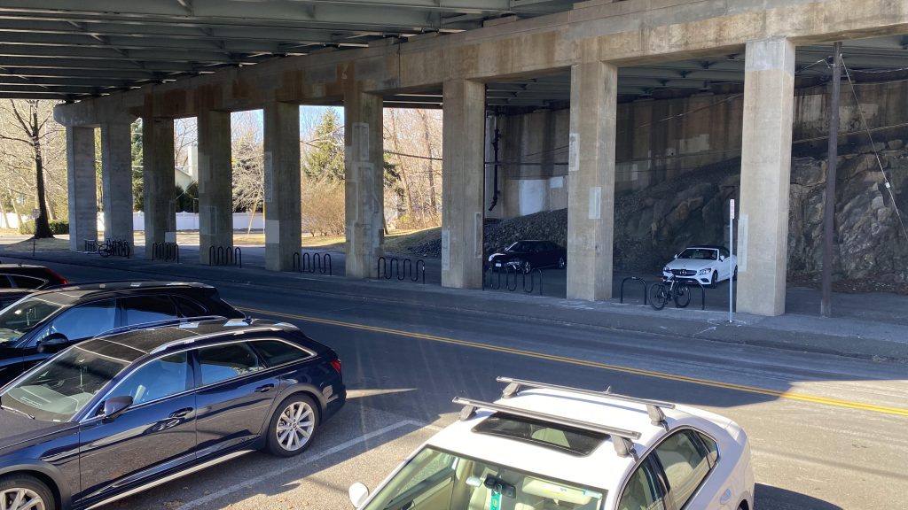
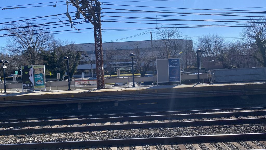
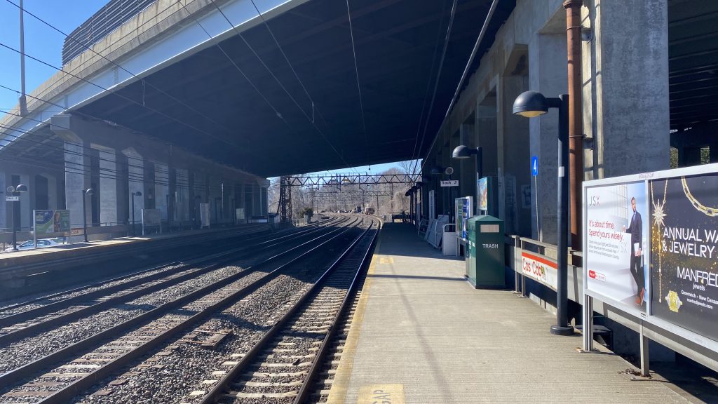
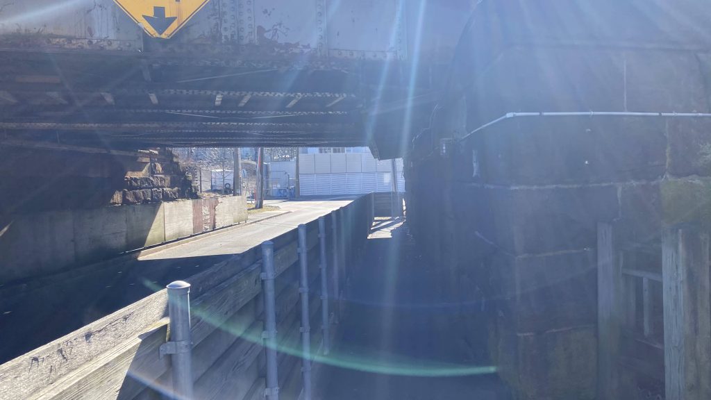
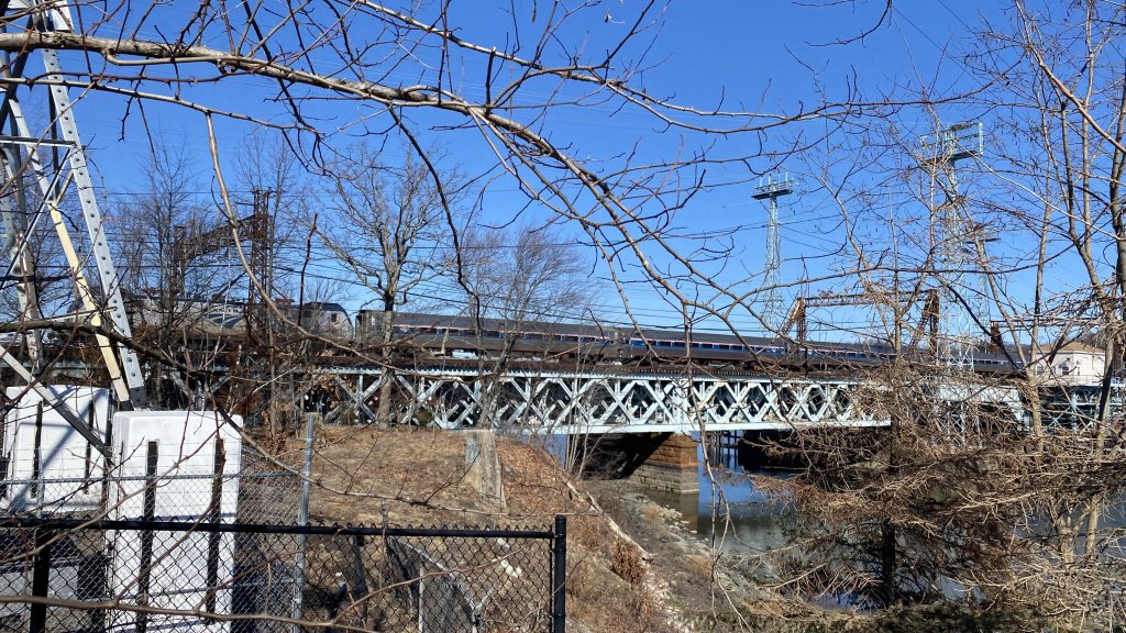
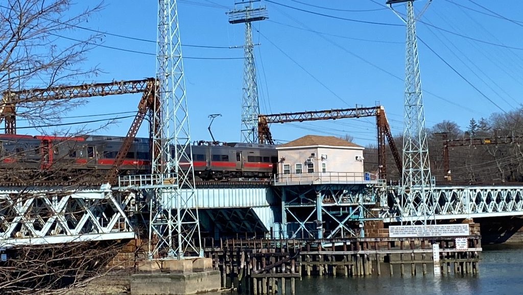
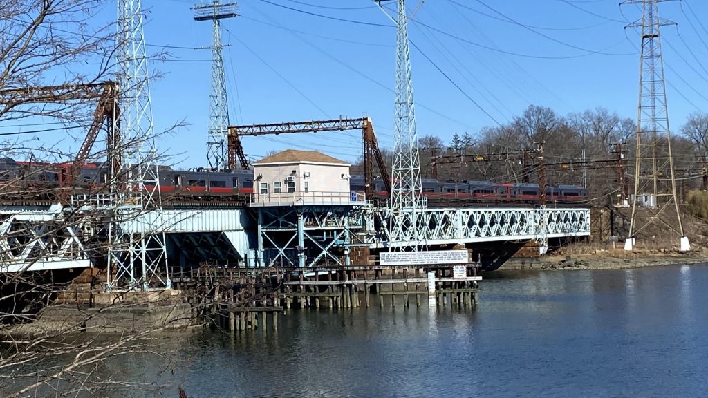
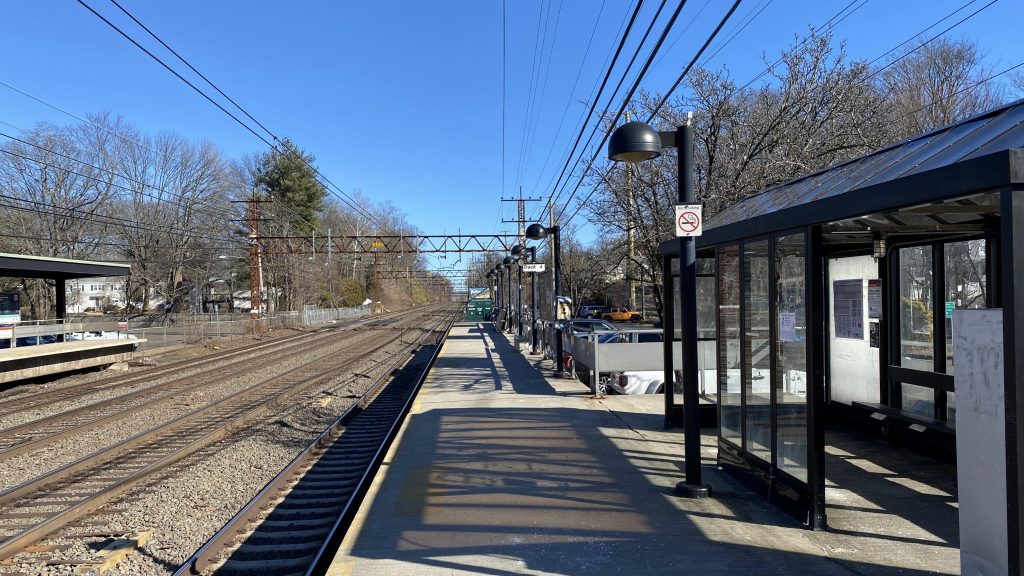
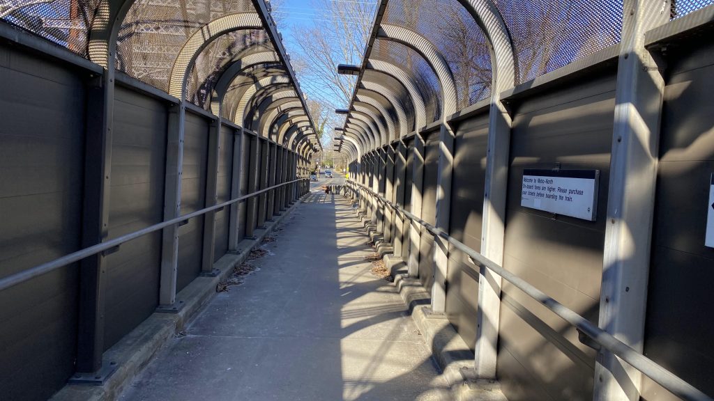
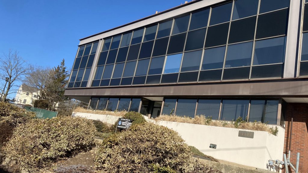
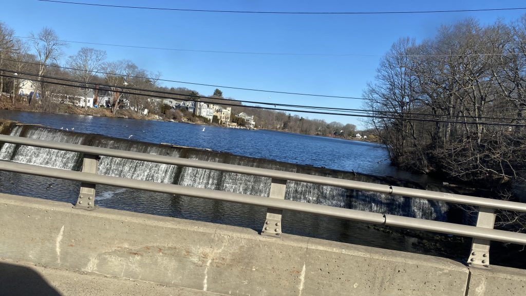
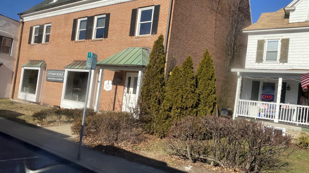
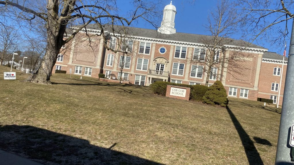
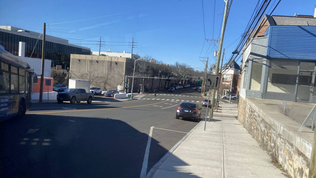
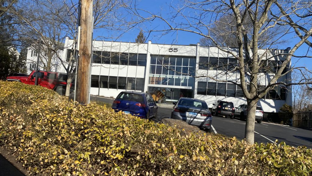
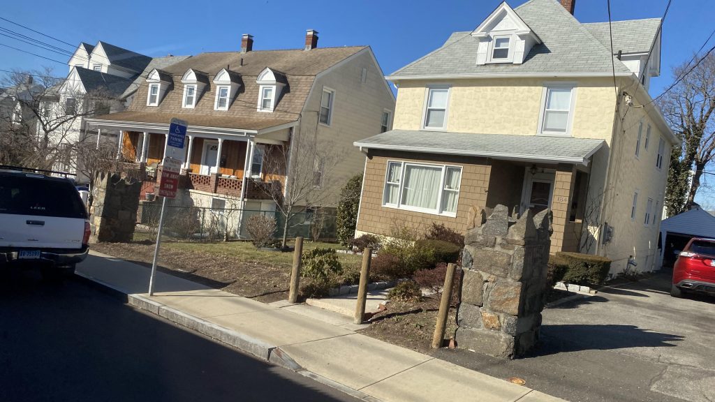
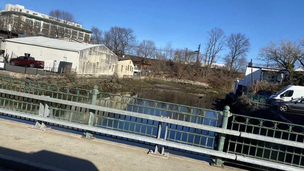
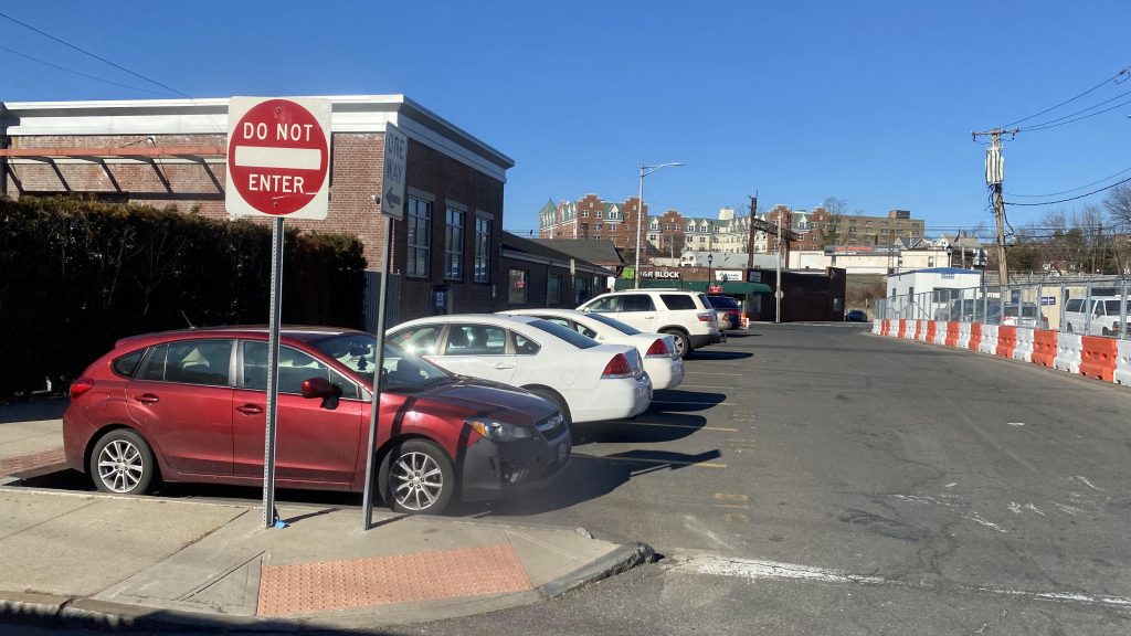
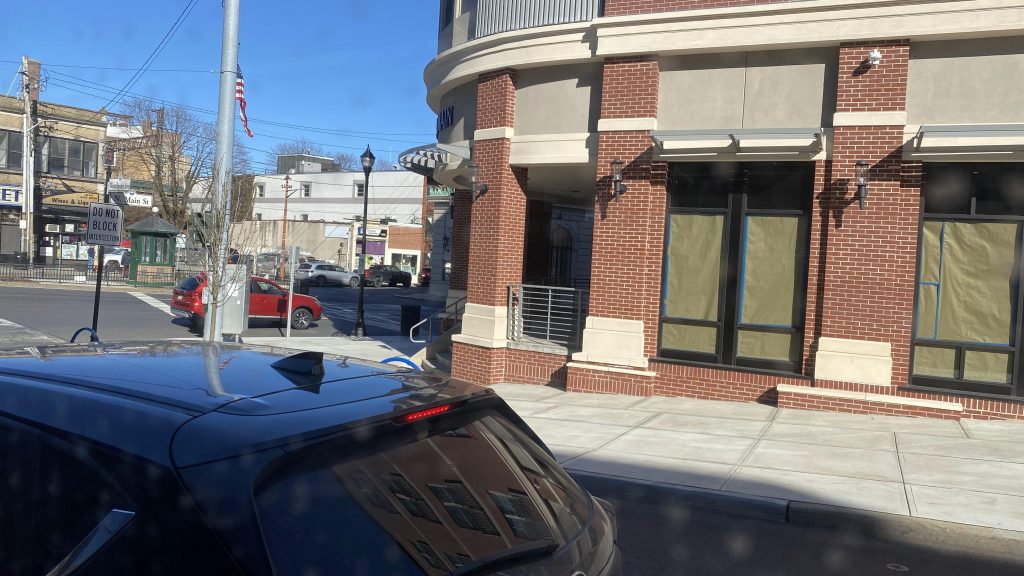
So, as we progressed down US-1, we pass several office buildings and whatnot. There’s also several churches, a school, Interstate 95, and the Mianus River to be seen here. It’s all pretty much suburban, and after we passed the high school, it started to look a little more walkable. However, it was still car-centric as parking existed on both sides of the street. Boo….. But, we deviated! Wooo! Deviation to Greenwich’s Metro-North station! Yay! And, it was here where the 311 splits into two. One variant goes up Field Point Road and follows US-1. However, I was on a B variant route, which continues down Hamilton Avenue. It pretty much felt like a residential side-street, if anything, and it felt weird snaking under the Northeast Corridor in a 60 foot bendy bus, to be quite honest. From here, we’d be crossing under I-95 and closing in on the New York border in an increasingly urban area.

Wooo, offices!
The mighty Mianus River
Low-ish density!
Cos Cob School!
CVS!
Seems like a small New England town.
I don’t remember what this was.
Woooo, deviation!
Residential neighborhood!
Woo, more offices!
Rich NIMBYs, probably
The Northeast Corridor!
The last bit of Connecticut!

And then I fizzled out of existence entirely upon entering New York!!! The end!

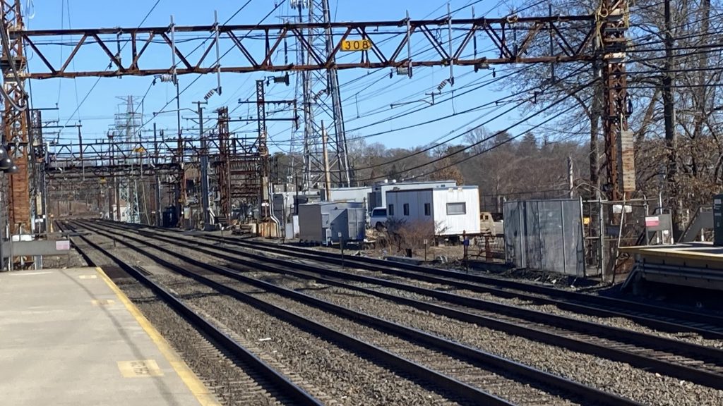
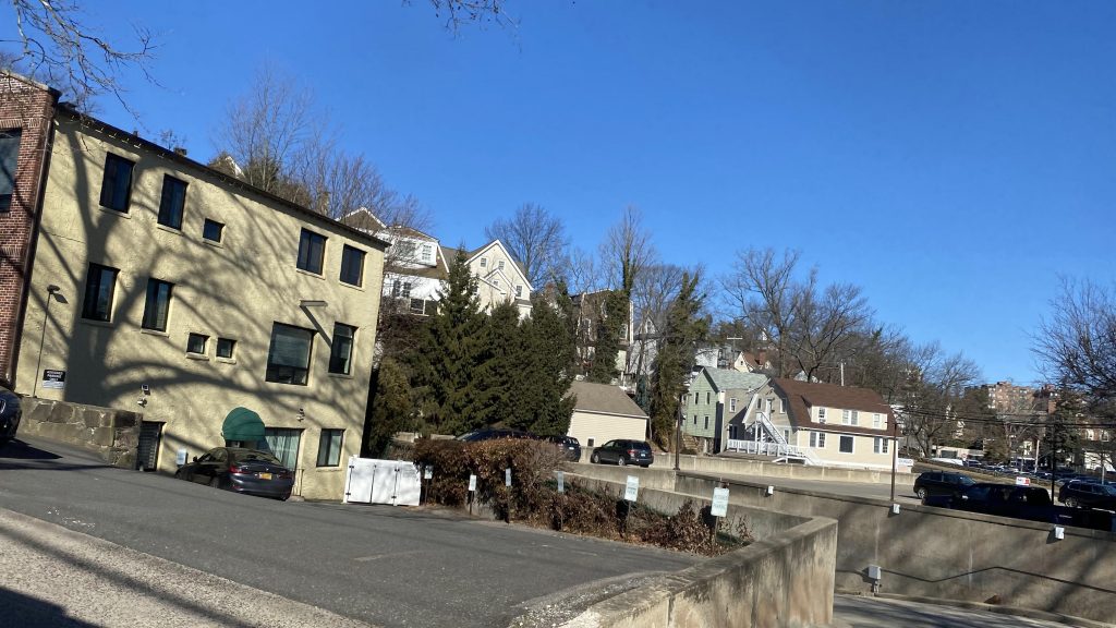
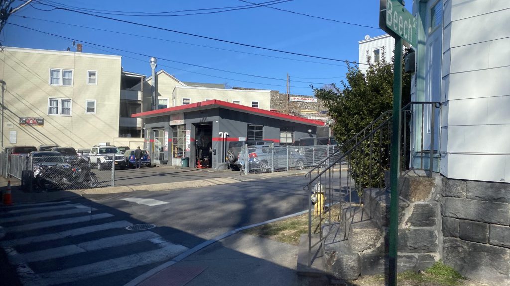
…nah, I’m just messing with you (the reader). What happened was we entered Port Chester, passed what can be described as an old industrial area (I think?), and we made it to the general area of the train station. Yay!

The Byram River, forming the state line!
Yeah, this is New York.
I spy the Northeast Corridor!
See ya!

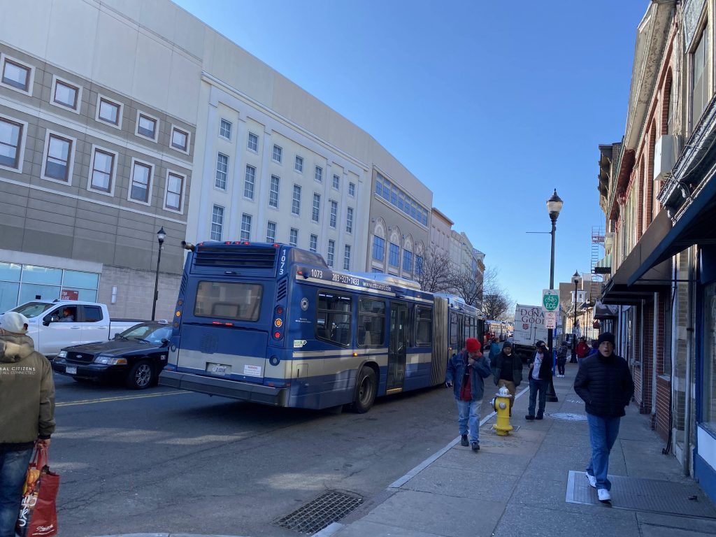
The good: Well, it definitely serves a lot! It goes into freakin’ New York, for crying out loud! It’s also the only regular bus service through Greenwich, not counting the I-BUS or the Norwalk WHEELS-operated commuter shuttle. This probably plays into why it’s got high ridership and why it uses a 60ft bendy bus.

The bad: Two branches? Really? And with that it also means headways are WORSE on the branches, with upwards of bi-hourly on weekends! Darn it, CTtransit!

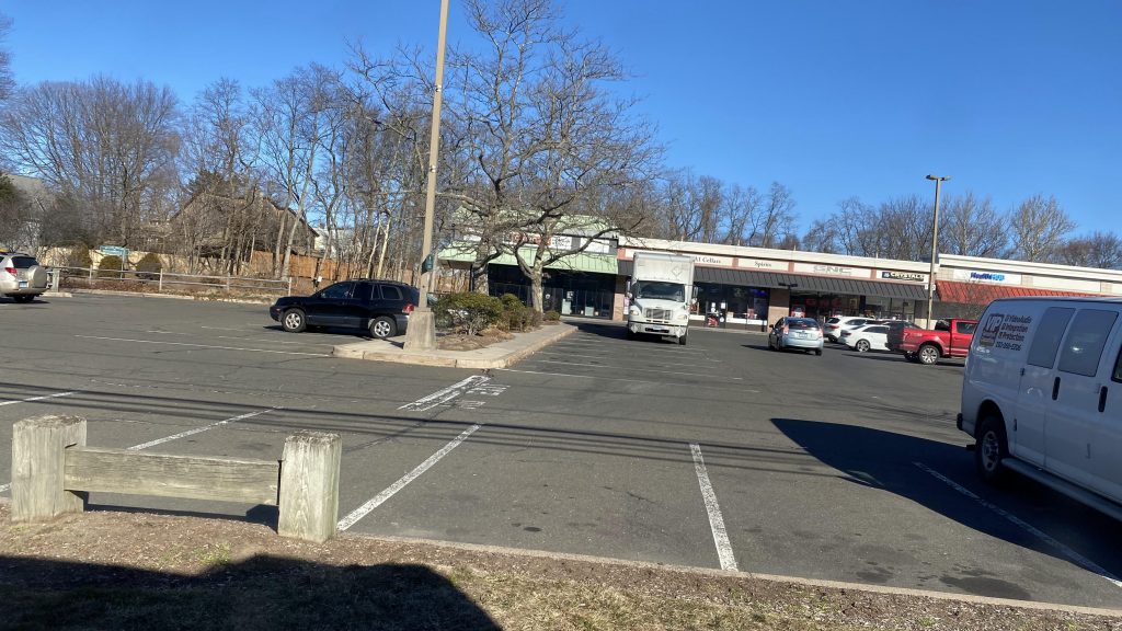
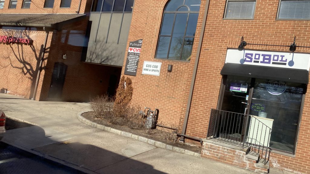
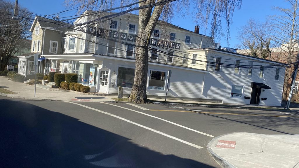
Nearby points of interest: Well, you got a shopping center in Port Chester, and a few parks in Greenwich (not counting office parks!). Also, the shopping on Railroad and near Greenwich Avenues.

Overall, it’s a decent route, it gets the job done, and serves a lot of people with where it serves. I’m also thankful I didn’t vaporize into thin air.

Rating: 7.5/10

Cos Cob (Metro-North)

Next to arrive in the backlog from my journey on the 14th, is Cos Cob! What a weird place name. But, yeah, it’s still largely rich NIMBY hell. Let’s look at this station.

Bike parking?! I didn’t recall seeing this at Riverside (or, really, any of the other Greenwich stations)

So first off, Interstate 95 runs directly above the train platforms, making it feel oddly dingy for a suburban park & ride. That’s a new one for me. There’s also bike parking here as well, which I don’t recall noticing at Riverside, Greenwich, or Old Greenwich. However, predictably, no bikes are parked here. There’s also a station house and the usual Metro-North amenities on the Grand Central side while the Stamford and New Haven side are lacking. And, just like Riverside, the crossover isn’t ADA accessible, but it’s a down & under, instead of up & over. But hey, at least it’s still segregated from Sound Shore Dr.! As for nearby things to do, there’s not much, just a park and a few offices and houses. Speaking of which…

Offices!
Dingy!
Looking the other way!
M8 running express!
Oh yeah, the vending machine gave me $1 coins when I bought my ticket to Riverside
The playground!
THOSE. DAMN. BROCHURES!
Parking!
The crossover!

Now, if you promise not to tell on me, there’s a nice little railfanning spot where you can get a view of the trains and the Mianus River bridge. So, all you have to do is walk to the park and behind the soccer field. That’s it. Here’s some shots I got from there.

Look ma, no wires!

The good: Well, it’s another residential park & ride, but this time we also have some offices and a park mixed in! Woooo!!! It’s also kinda scenic!

The bad: It’s under I-95! Also, no departure boards either, like Riverside, and it’s not accessible!

Nearby points of interest: Cos Cob Park, if you want some cool foamer shots!

Transit connections:
Metro-North (New Haven Line)

Overall, it’s a nice station, however I think it’s dragged down greatly by I-95 being above it. But hey, shelter if it rains! Sadly the actual station building is only open in the AM rush, so there’s that. I think the foamer spot nearby redeems the station a little, though.

Rating: 7/10

Riverside (Metro-North)

Riverside? Didn’t we do this already? Oh, it’s a Metro-North station, not the Green Line on the MBTA. Let’s look.

See ya!

Getting off the train, it’s clear that this is a park & ride in the middle of what may as well be NIMBY hell. You got two parking lots, one on either side of the tracks. There’s also no ADA compliant crossover, so there’s that, and the platforms and stairs look like they’re falling apart. Uhhhhh…..

Oh yeah, the station building is only open in morning rush hours on weekdays. But hey, at least the crossover is segregated physically from Riverside Avenue! Vending machines for tickets can be found on the Grand Central-bound side as well. Yeah, not a lot to say about this one, aside from the fact it’s relatively niche in use cases. I guess this is pretty much why it’s among the least-used stations on the line.

A Regional! Or, the Vermonter? I don’t know.
A shelter!
Looking towards New York, with the decrepit-ish crossover.
And towards New Haven & north!
Parking!
Signage!
Looking down!
At least it’s well-lit, I hope!
The station building!
Acela!
Express!

The good: It’s in the middle of a residential neighborhood! So, there’s that at least! And, for being a primarily commuter station, it still sees decent service (about half-hourly on weekdays, I think? Please correct if I’m wrong!)

The bad: There’s no other transit connections. Also, there’s a lack of ADA-compliant crossovers, so screw you if you need that. No departure boards either. C’mon!

Nearby points of interest: Not a lot around here. Houses, I guess?

Transit connections:
Metro-North (New Haven Line)

Overall, it’s an alright station. However, it still has some glaring flaws, namely stemming from the lack of any ADA accessibility for crossovers. The lack of departure boards is also very irritating, moreso if your phone is dead.

Rating: 6/10

Ashmont (Red/Mattapan Lines)

Alrighty, Ashmont, here we are! The end of the Red Line’s other branch! What do we have here? Oh, it’s just a decent terminal. Let’s see.

The busway

So, the busway is served by several routes running out to Ruggles, Mattapan, and even …Brockton?! Huh, guess I’ll be returning when I start reviewing BAT’s routes. Plus, we have the Mattapan extension’s ROW with a balloon loop. No PCCs to be seen here, though. Let’s go into the station itself.

Balloon!

Alright, so the station itself is glass-roofed and is quite modern, actually. Only nitpick are turnaround procedures, as they depend on turning trains around beyond fare control. But, whatever, it’s what it is. You’ve also got fare control, a coffee shop, and a fair amount of CharlieCard machines. In terms of aesthetics, I like it, and it even has the ringing bells for departure like the other termini. Yay!

Glassy!
Fancy!
LOVE THOSE HEADWAYS!!!
I genuinely like Ashmont for what it is.
Who the hell calls it Peabody Square?

The good: It’s got a number of buses, BAT, and it’s the terminal for both the Red Line and the Mattapan extension. Also, the glass aesthetics are just PERFECT for here. However…

The bad: There’s supposedly a Pedal & Park, but I didn’t see it anywhere. Also, the fact two trains can’t lay over on the platform at once is annoying, as is the lack of BAT fare machines. What were they thinking? Yeah, those are my major nitpicks. Also, fare-controlled transfers from the Mattapan to the Red?

Nearby points of interest: Ehhh, there’s a few businesses nearby, but it seems mostly residential at a glance.

Transit connections:
Red Line (Ashmont)
Mattapan Line
MBTA bus (15, 18, 21, 22, 23, 24, 26, 45, 215, 217, 240)
BAT (12)

Overall, it’s a pretty decent station, even has inter-RTA transfers. Only issue is that there’s no fare machines for that “other RTA” or controlled transfers between the Red and Mattapan.

Rating: 8.5/10

Arlington (Green Line)

I’LL TELL YOU HWAT, MY NAME IS HANK HILL AND I SELL PROP- oh, not Arlen. Alrighty, fine, fine. Welcome to Arlington Street. Goddammit. Man, the Central Subway gets a bit tedious. Fortunately, this is the last station!

Helvetica!

Arlington’s located at the intersection of Boylston and Arlington Streets, at the southwestern corner of the Boston Common. Looking around, it’s REALLY, REALLY disgusting and dingy! YIKES. Plus, this feels like the backrooms. At least crossovers are free and it’s accessible!

See ya!

Yeah, it’s also not too well lit on the tracks, but whatever. Moving on to upstairs, the ceilings are freakin’ disgusting, and apparently there’s restrooms here! Sadly, I didn’t peek, nor did Miles have any insight on them from when he made his bathroom map. Oh yeah, history! The headhouses also look old, like your stereotypical old-school subway headhouse.

Another train peeks in
History!
EWW THOSE CEILING STAINS DEAR GOD
Enter if you dare
The stairs. Yeah, they look a lot like Kenmore’s.

The good: It’s at the Boston Common! It’s also a short walk from the opposite end of Newbury Street from where Hynes is located. There’s also a couple of bus connections here too, and it’s accessible.

The bad: It’s freakin’ DINGY! I’d argue, it’s WORSE than Hynes, as the ceilings NEED a powerwash. I should’ve worn gloves when holding to the escalator handrails.

Nearby points of interest: Newbury Street and the Boston Common!

Transit connections:
Green Line (B, C, D, E)
MBTA bus (9)

Overall, eww. I hate this station even more than Hynes. And, since the ceilings grossed me out enough, I can’t score this high. Bleugh!

Rating: 3/10

Kenmore (Green Line)

Ah, the venerable Kenmore. The closest rapid transit stop to Fenway Park, and the one where all the sports nuts flood to during baseball season. What do you hide?

The Citgo sign looms ahead, from Lansdowne

Walking to here from Lansdowne proved to be an easy enough affair: just walk down Brookline Avenue, and right down US-20. And, sure enough, I was soon met with Kenmore’s glass-canopied busway.

Kenmore’s got a busway?!

So, I went into the station itself with its old school-feeling stairs down, and was greeted with a lot of green. There’s also plenty of sports-themed advertising around here, and even some history! Neat! Unfortunately, the platforms aren’t much to talk about aside from the quad-tracking design.

Down the stairs!
Historical photos!
NBA ads!
Yep, one of the few quad-tracked stations on the system
Green tiles galore!
LET’S GET KINKI!

The good: It’s not dingy like Hynes or Arlington! I’ll give it that much, and it’s better-lit! Furthermore, it has an actual busway! I’m also sure it’s enough to handle a bunch of rowdy Sox fans. The tracks are also organized, with the B branch getting two, and the C and D sharing two. You also have multiple ways in, via passageways and elevators!

The bad: Eh, I’m not sure if light rail can handle sports surges, but whatever. They sure like pipes, though!

Nearby points of interest: Fenway Park & the Citgo sign!

Transit connections:
Green Line (B, C, D)
MBTA bus (8, 19, 57, 60, 65)

Overall, it’s a decent enough station. At the least, it’s better than Hynes, and isn’t as grossly dingy. Plus, it’s accessible! Furthermore, buses actually have a proper busway to turn in and out of!

Rating: 7.5/10

Hynes Convention Center (Green Line)

Oh boy, Hynes! Let’s take a look at one of Boston’s conv- wait, what? OH, it’s a Green Line station. Alright. Goddammit. Let’s look at the Hynes Green Line station.

The train I took to Hynes, from Kenmore

Alrighty, so I got off the train after arriving from Kenmore and WHEW IS IT DINGY AS HELL! Oh GOD. Buzzing lights, concrete, bricks everywhere. Dear GOD is it terrible! Bleugh! Even the mezzanine is the same way. Accessibility? Forget about it! Although, I’ll at least give the T credit for investing in the installation of elevators here for accessibility. The headhouse is signed though, and there’s a bus stop with a large shelter across from the station, serving….just the 1. Yeah. It’s dingy, but not much else to say aside from the lack of ADA compliance.

Helvetica!
Type 8! Also, EWW THAT CEILING!
That’s very dingy!
The mezzanine!

The good: It’s by the namesake convention center! There’s also plenty of shopping around Newbury Street, with it even being closed to vehicles at times. The bus shelter is also decently-sized, if it’s still there.

The bad: It’s really dingy! And it’s not accessible! And did I mention how disgusting it is?

Nearby points of interest: The station’s namesake and Newbury Street!

Transit connections:
Green Line (B, C, D)
MBTA bus (1)

Overall, I’m not big on this one. Yes, there’s a lot of shopping and a convention center, but the station itself is dingy and grossly dated. At least there’s also bus service!

Rating: 3/10

Columbus Avenue (MBTA)

Um, yeah, this is a bit awkward. So, I guess, I’ll say that the rule kinda is “if there’s helvetica, it counts”. Which, to my awareness, means these four stops + City Point all count. Now, there’s more to Columbus Avenue as well, including a bit of a unique thing that sets it apart from other busways in the region. Let’s look.

Walnut Avenue!

Now, all these stops have LED displays showing when the next buses are coming, have benches, T lollipops, and the Helvetica signage. But that’s not what sets these apart. What sets these apart, are how they’re configured in the road: in the center lanes.

Going out to Egelston Square, I was convinced these were absolutely dangerous and death traps, and overall just poorly placed/designed. Well, it turns out……I was proven wrong firsthand, and genuinely surprised. Walking down the 1/2 mile or so of center-running bus lanes from Walnut Ave. to Dimock St., I was genuinely surprised at how often people were actually respecting the paint, as well as how surprisingly easy it was to jaywalk. Actually, it also felt safe, I’ll add. Yeah, shocker, I’m used to yelling “HAIL MARY!” when jaywalking, but given they shrunk the lanes down to as small as doable, I was shocked to find that yes, I can actually jaywalk and not run the risk of being struck. Now, is it psychological in nature? Probably. But then I heard an ambulance rushing down Columbus Avenue and, they too used said bus lanes. Hell, even SCHOOL BUSES were using it. So, seeing all that firsthand and that they actually work BETTER, I got just one question:

WHY THE FUCK ISN’T THIS ON WASHINGTON STREET?! WHY CAN’T WE HAVE THIS FOR THE SL4 AND SL5 INSTEAD?! HOLY FUCK! THIS WOULD MAKE MILES UPON MILES OF DIFFERENCE!!!

Also, the lights looked funky like the lights on the Green Line’s median-running sections.

Weld Avenue!
Bray Street
Oops, the screen at Dimock St. is ruined!
WEEWOOWEEWOOWEEWOO!!!

The good: THESE WORK A WHOLE LOT FUCKING BETTER THAN WASHINGTON STREET’S BUS LANES – OR HELL, LITERALLY ANY IMPLEMENTATION OF BUS LANES I’VE SEEN IN MY ENTIRE LIFE, MAYBE SAVE FOR THE CTFASTRAK BUSWAY OR THE TRANSITWAY/CHELSEA BUSWAY!!! WHY THE FUCK DON’T WE HAVE THESE ON NORTH MAIN STREET, RIDOT?! WHY CAN’T WE HAVE THESE ON WASHINGTON STREET, MBTA? MAYOR WU?!

The bad: You kinda can’t turn left, but if you’re a pedestrian, that’s a nonissue.

Nearby points of interest: Egelston Square!

Overall, HOLY FUCK WAS I WRONG ON MY PRECONCEIVED NOTIONS! WHY CAN’T WE HAVE THESE?! JUST, WHY?! THEY WORK HELLA BETTER, FEEL CONSIDERABLY SAFER, AND ARE MUCH MORE LIKELY TO BE RESPECTED!

Rating: 10/10

Yeah, I just pulled a 10/10. Rare, ain’t it? This is the kind of shit we NEED to see more often! And, for once, I’ll have to admit the T actually did something right here.

SL3 (Chelsea)

Alrighty, now the very last Silver Line entry (unless they bring a new Silver Line into service in the Boston area, that is)! Let’s look at the SL3 as a route.

That DAMN drawbridge!

So, leaving the Transitway and the Pike, we’re dumped onto local roads, where we navigate into Airport (Blue Line). However, transfers are outside fare control, so no free crossovers. You can also transfer to the Massport shuttles, neat! From here, we go waist-deep into some side streets used by 18 wheelers primarily seemingly, cross that DAMN drawbridge, and are in Chelsea. From here, we enter the busway (which is rather tight a turn) and do a straight shot down it to Market Basket. So, how does the busway stack up?

YOUR MOM HAS AN OVERSIZED BOX!!!
Tracks

The good: It’s essentially the next best thing to giving Market Basket a rapid transit link! Sure, it’d be nicer if there were wires for the buses like in the Transitway, but that’s opening an entire can of worms that I’ll only sum up with “wires bad, louder than diesel, slower, and outdated” on the basis of said Transitway. It’s also alright if you’re into foaming the Newburyport/Rockport as it’s grade crossing hell.

The bad: I can’t help but think this should’ve been fully grade separated and done as a Transitway extension (with a portal at Eastern Ave.?). But, that train’s long gone.

Nearby points of interest: Market Basket is the big one. MORE FOR YOUR DOLLAR!

GET YOUR SHRIMP SPECIALS, MOAR FOR YO’ DOLLAH!

Overall, it’s alright enough, but it’s severely hampered by traffic on the Mass Pike and THAT. DAMN. DRAWBRIDGE. GOD, I HATE IT!

Rating: 5/10 (mostly out of spite for that DAMN BRIDGE)

Eastern Ave. (Silver Line)

Alrighty, the last one! Let’s look at the final Silver Line station (that is, barring South Station, but that’s a special one 😉 Stay tuned!). Meet: Eastern Avenue.

Coming on up!

So, it’s literally the same as Box District, Bellingham Square, and Chelsea. Yeah, not much new to see here. Heated shelters and the usual. Oh, but there’s a bike rack! Albeit, it’s no Pedal & Park. That would’ve been nicer, given the proximity to the Chelsea Greenway. Oh yeah, Massport’s shuttles stop here! There’s also a parking garage for, I think, airport employees. Yeah, there’s just not a lot here. Let’s get to it.

The drawbridge looms…

The good: Well, it’s your usual Chelsea bus station. Heated shelters and whatnot are the norm. Massport also stops here, which is a bonus.

The bad: You’ll PROBABLY learn to hate this station should the drawbridge be up, if buses are held here. Also, not a lot to note.

Nearby points of interest: Airport parking and a few parks nearby!

Transit connections:
Silver Line (SL3)
MBTA bus (112)
Massport (77)

Overall, not a lot to say here. Next entry!

Rating: 6/10

Oh, hi Massport!