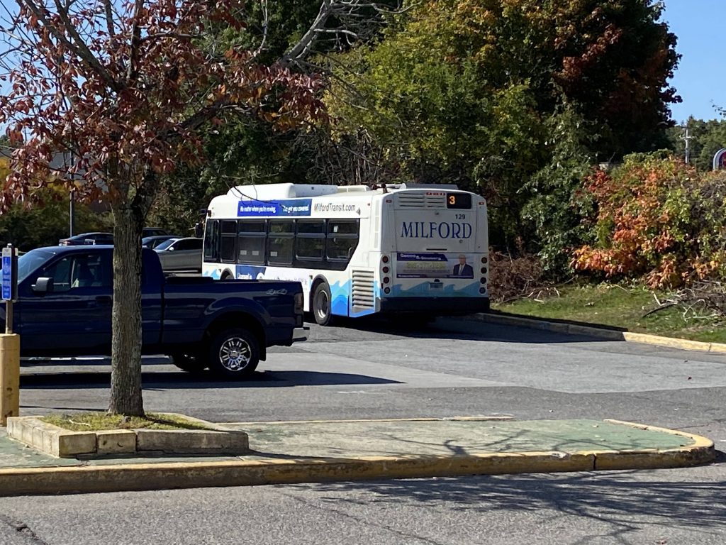
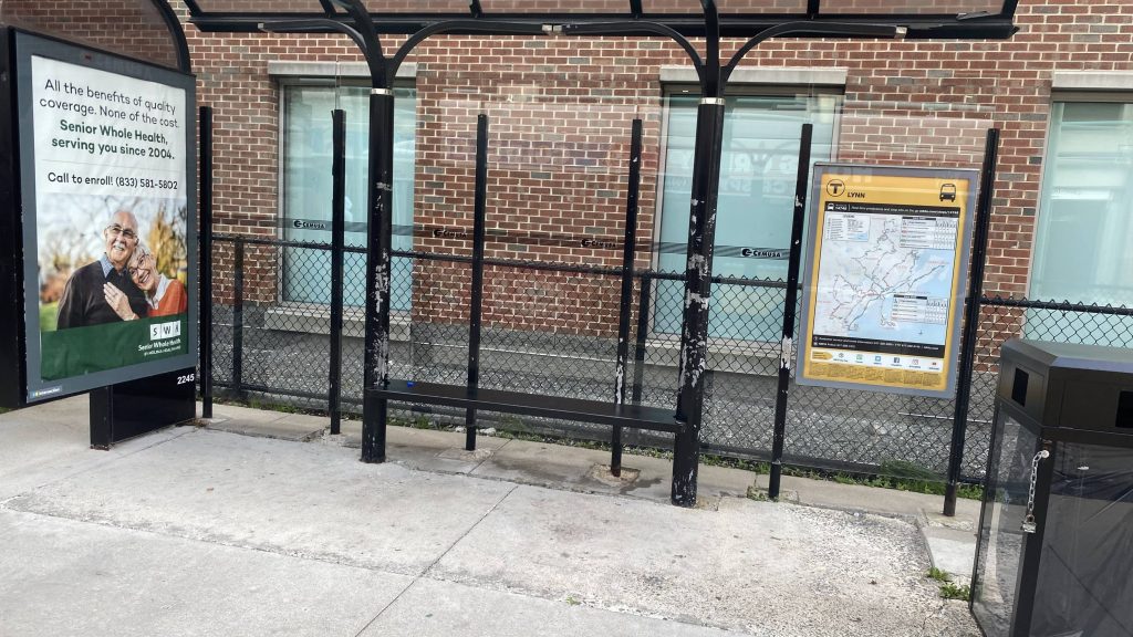
Alrighty, the last of the Milford Transit entries! Now, this was the first one I’ve ridden. Now, let’s get into it.
The mall!
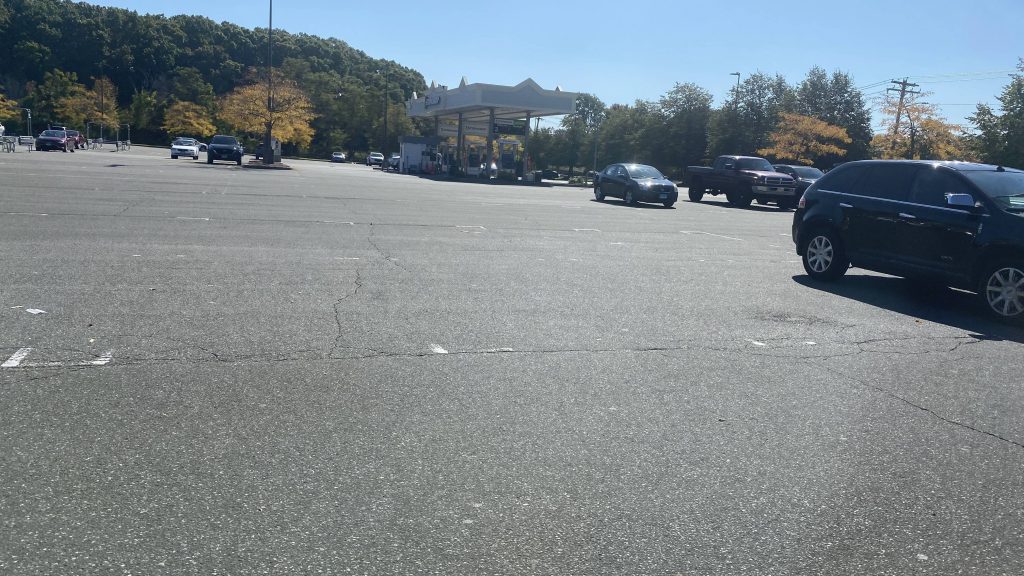
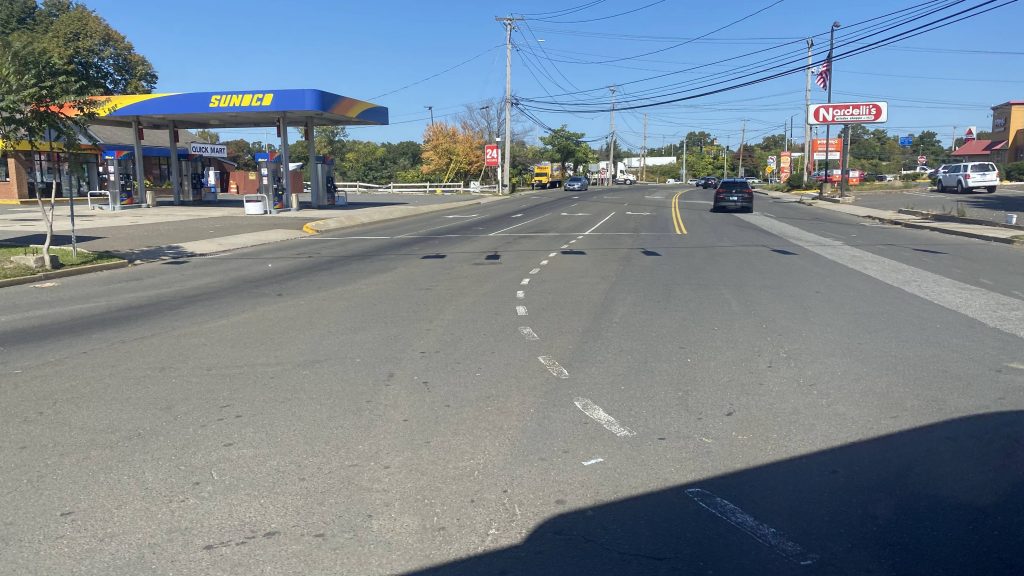
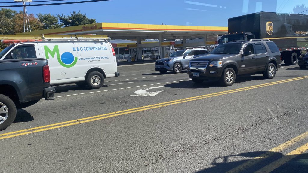
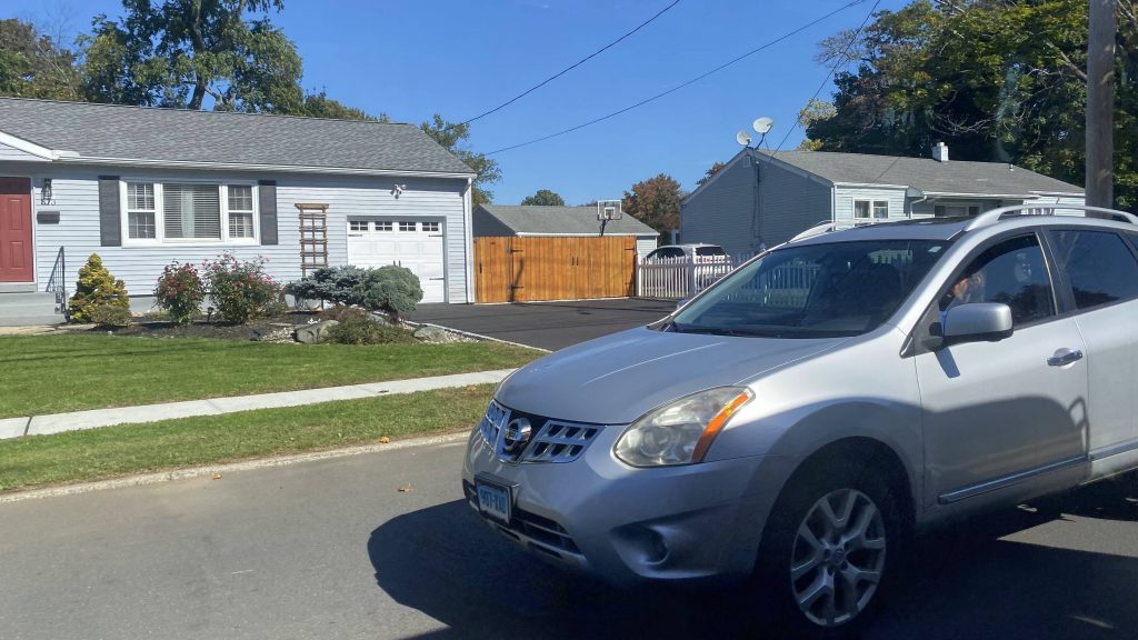
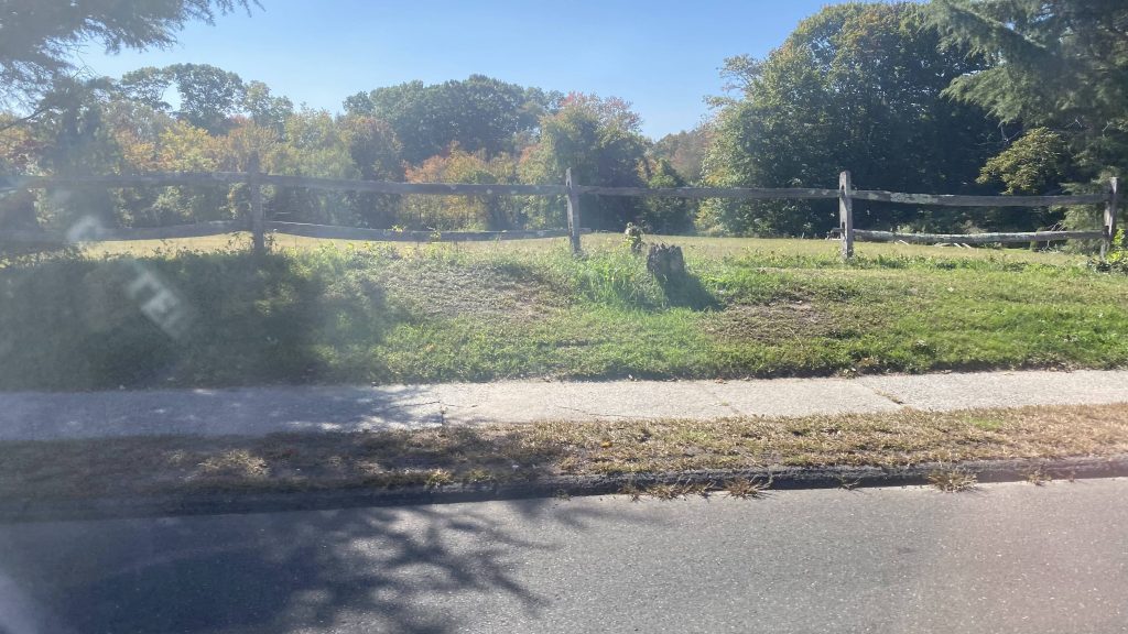
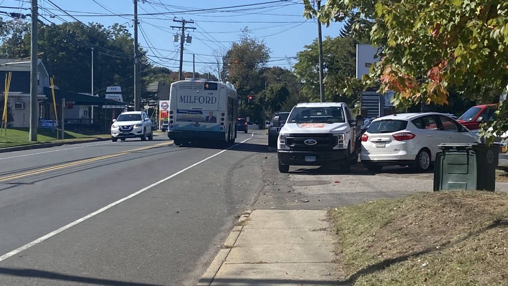
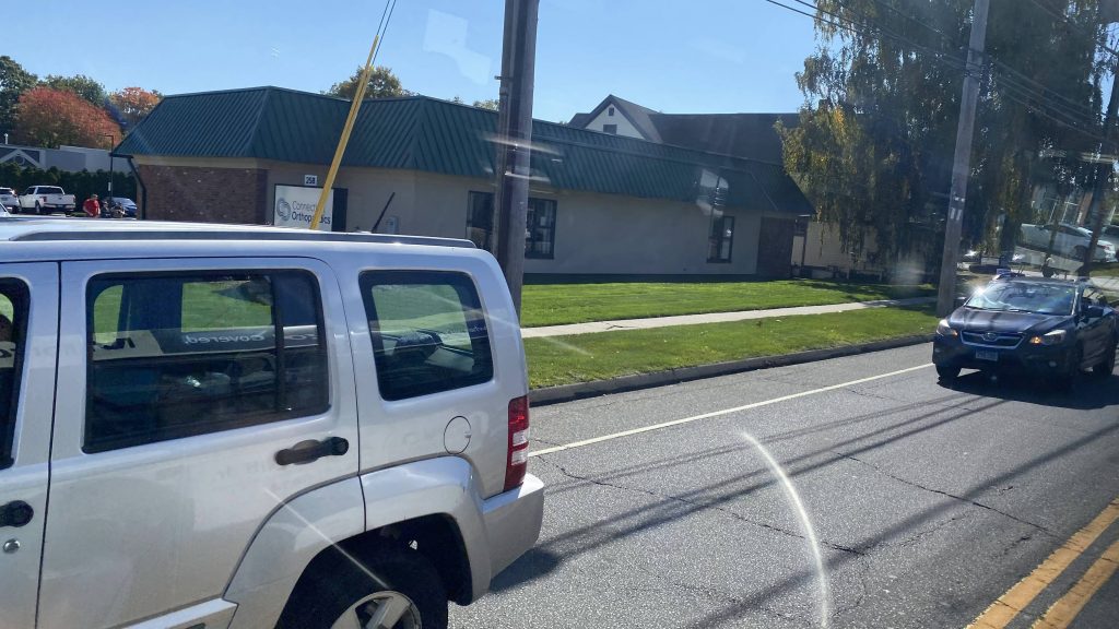
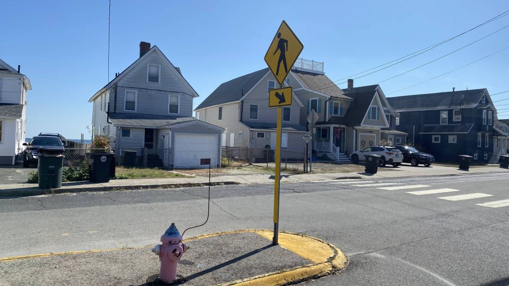
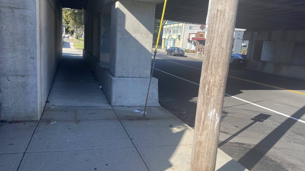
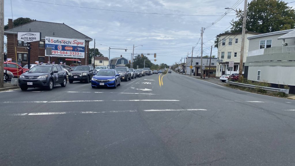
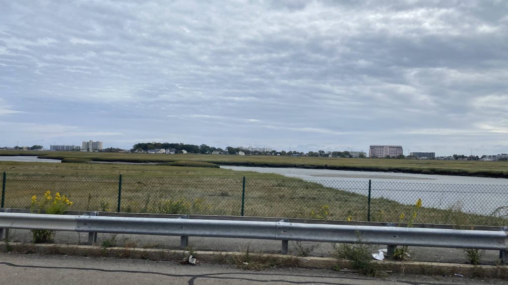
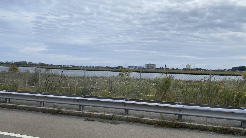
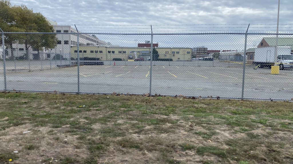
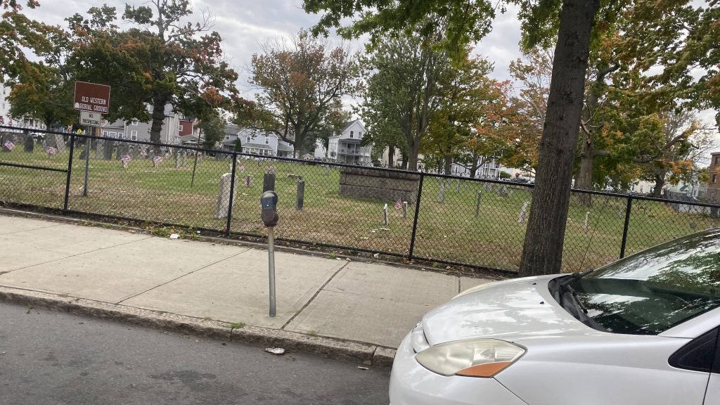
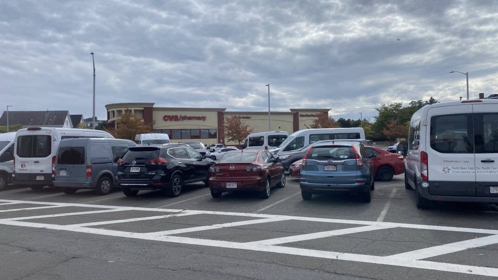
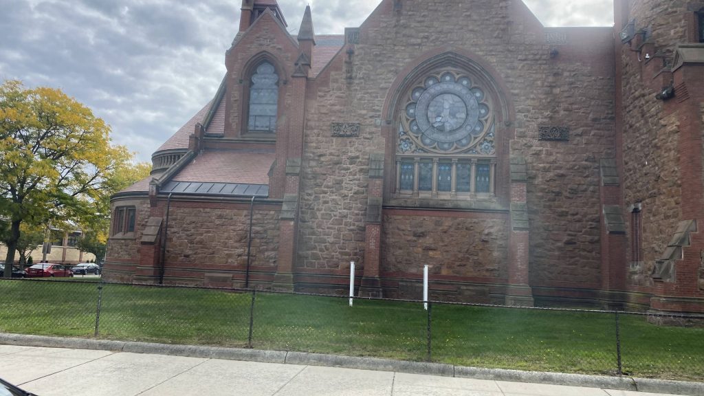
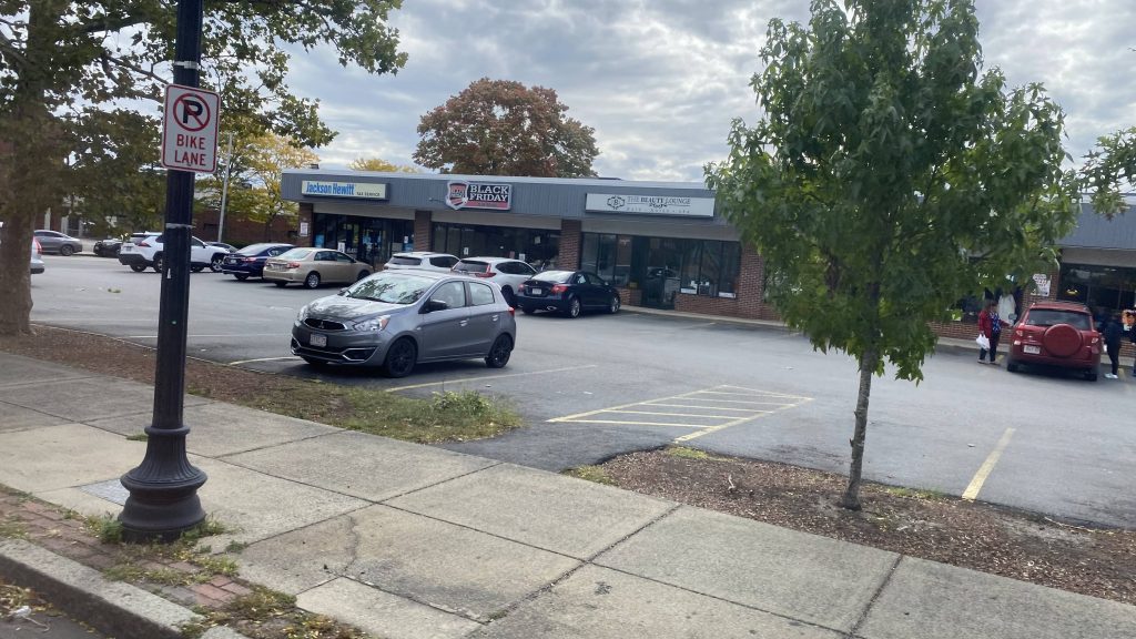
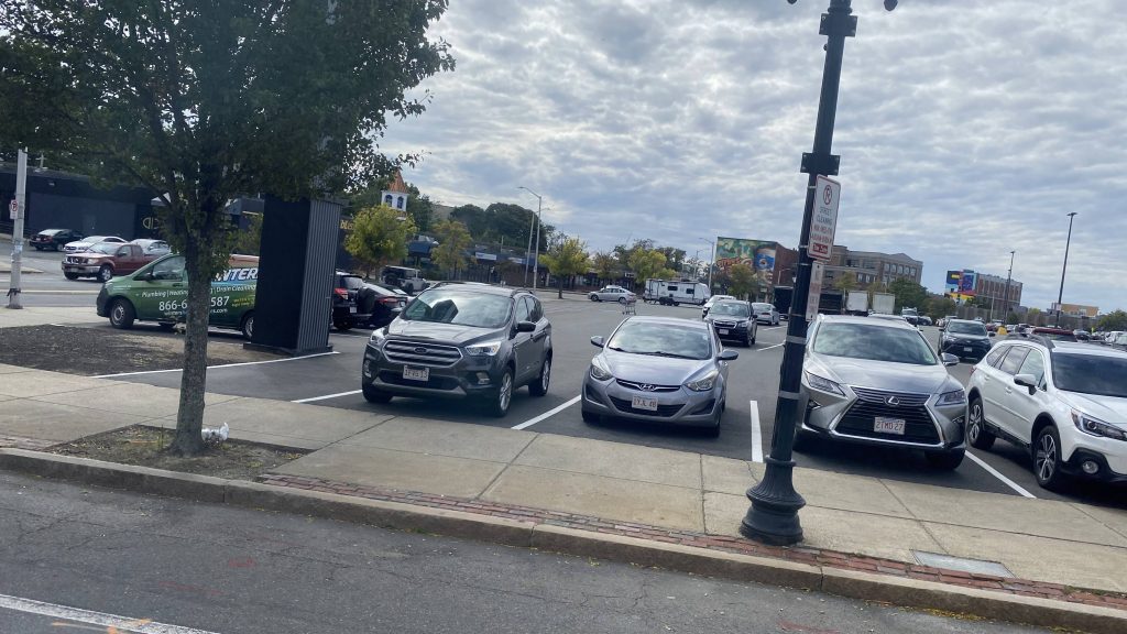
So I boarded at the Post Mall, running to the bus. I boarded, a little confused and the driver said “It’s free, don’t worry.” Relieved, I sat down, and onwards we were. So, we went on to do a deviation towards Stop & Shop. The schedule says there’s a timepoint at a commuter lot, I’m not sure if this is it, but I’m gonna assume so. Needless to say, one person got on here. From here, we went towards Old Gate Lane and Woodmont Road, going under the interstate and passing a truck stop.
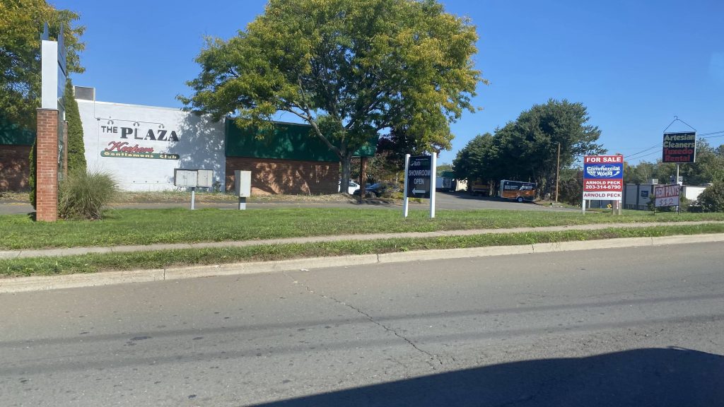
Stop & Shop deviation!Some roadsShell by the interstateA gentleman’s club
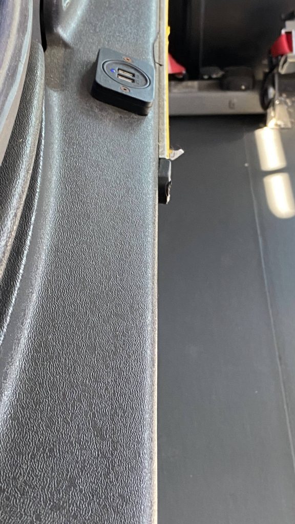
It was at this time I noticed these New Flyer buses had something a little special, that I haven’t noticed on any other agency’s New Flyers. Not even CTtransit or the T (or RIPTA, for that matter!) had USB outlets on their buses. Hell, not even GBT had them when I rode the Coastal Link back to Milford’s MNRR station from the Dollar Tree (after I rode the 3). Anyways, I digress
I don’t think I’ve seen a bus with USB outlets before
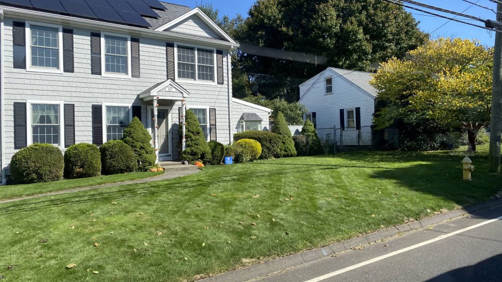
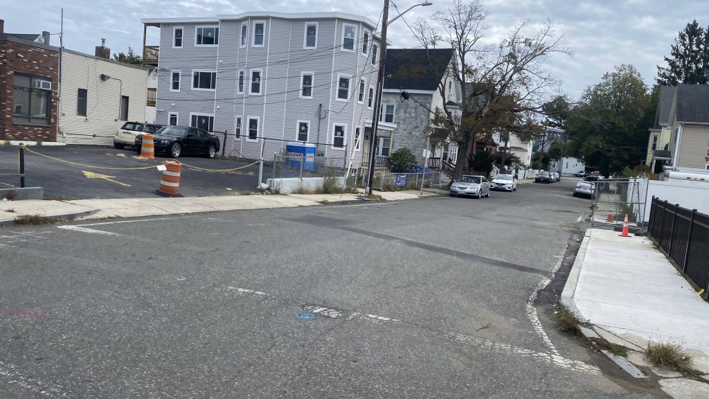
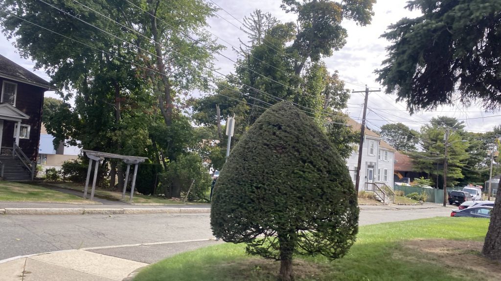
Moving on, the routing was simple. We went down Anderson and Merwin Streets, and up New Haven Ave. And yes, it was all residential. We eventually got to the intersection of New Haven and Buckingham Avenues, where I got off. From here, I walked the mile or so to Milford’s MNRR station for the other routes.
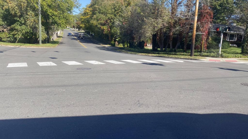
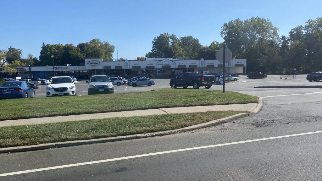
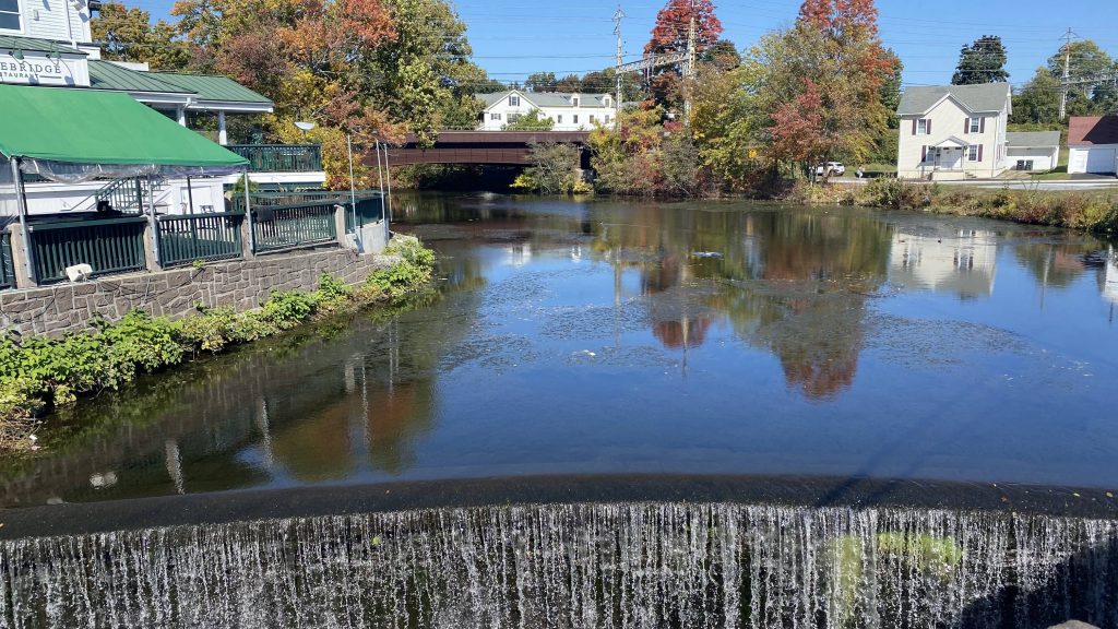
Screw you and your single-occupancy vehicleA side street as we turnedAdam’s Hometown Market!This feels a little ruralThis feels like NIMBY CentralAnother side streetThe main roadWater!See ya!
The good: It serves residential areas and a mall! Headways are also alright for an area where pretty much everyone has a car.
The bad: This one goes for all routes. It’s not clear which direction the bus goes down on each road until you actually ride it. The hourly headways can also be annoying, but whatever.
Nearby points of interest: Not much. You’ve got the Post Mall and a Stop & Shop.
Overall, it’s an alright route that gets the job done. I just don’t have much to say that I haven’t already said about the others.
Rating: 6.5/10
Stay tuned, as next time I’m down here, I’ll be riding the entirity of the GBT/Milford Transit/Norwalk Transit Coastal Link!
Alrighty, round 2 of Milford Transit, and the most painful one. Let’s get into it.
So we begin leaving the train station in traffic, as the bus is slowly easing through. Eventually it picks up and- OWW, FUCK, MY ARM! Holy FUCK, what an asshole! Why would ANYBODY put the bus operator in a situation where slamming the brake is needed?! Needless to say, my arm ached for the rest of the day. Operator’s fault? Not really, I’m pinning blame on the driver who made the operator do it. So, that aside, we then turned down a side street where it was all residential, eventually turning down East Broadway. But, that was a dead end.
Scenic!Onwards!This was after the brake was slammed.Still on the main roadThis feels like NIMBY central.I spy the oceanMildly rich person beach housesYep, still a rich neighborhood.
So, since we reached a dead end, what did we do? Well, the operator kicked the bus into reverse, of course! It always feels weird when in a bus that needs to go into reverse. I mean, at least it wasn’t as high-stakes as at the Pettine ITC when I rode the 24X on RIPTA, where the risk of hitting another bus or a person was much higher. Anyways, we came back the way we came, taking the first side street. Going up Robert Treat Pkwy, and turning down Meadowside Rd., it was still residential until the cows came home.
*yawns*Another entrance into the park, after the dead-endSpooky!Looks fun!Trees
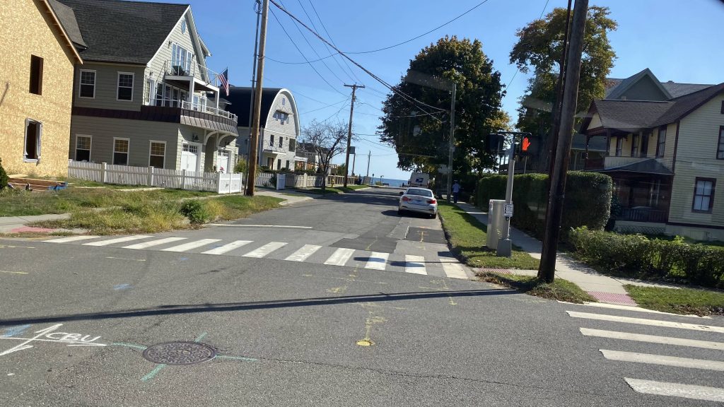
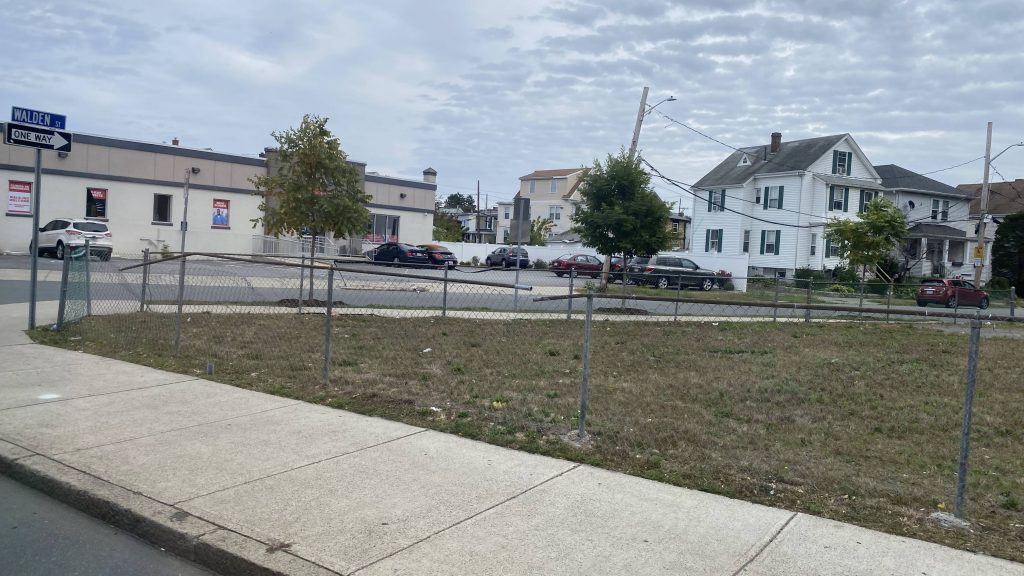
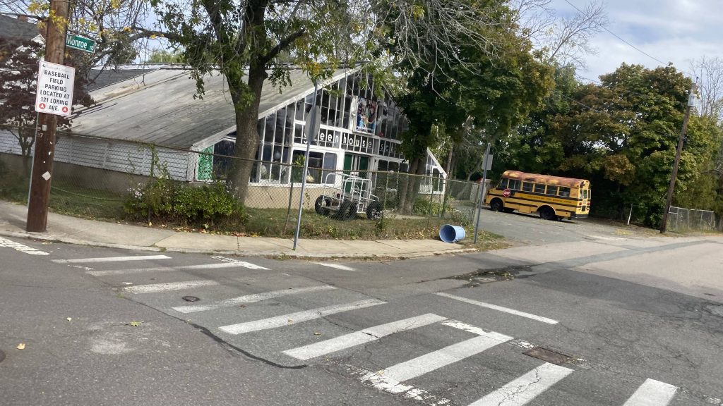
So, we passed through an apartment complex, passing by another beach. Eventually, we turned up Joy Rd., and went the way we came, though up Maplewood Ave., passing by the high school and ending the loop at a shopping center.
Another park and beach!More housingLarge field and a dirty windowA small shopping plaza past the high schoolSee ya!Look, a Dollar Tree!
The good: Well, it goes deep into suburbia! I mean, it’s probably not the most efficient thing, but it’s sure as hell good if you operate on a flag basis, as for some riders that might mean door-to-door service. Neat. It also serves a few shopping centers, as well as the high school. Also, it serves a few parks and beaches.
The bad: It’s very loopy (in spite of it being a loop, it loops on itself BEFORE reaching the train station), disorienting even. Broad St. traffic can also be bad.
Nearby points of interest: Walnut Beach and Silver Sands State Park are the big ones I can think of. There’s also a small shopping plaza with the remnants of an old Kmart here, which was being razed.
Overall, it’s a decent enough loop route. It’s got a consistent schedule (though can run a little late) and goes to places where people would want to go. Just be ready for the operator to slam the brake.
Alrighty, the first of the Milford Transit entries! Although, chronologically the last route I’ve ridden. So, let’s look at the route.
Now unfortunately, the camera had to sit this one out (it was at 20% by the time I got to this), so no pictures for this one sadly. With that aside, let’s dig into it.
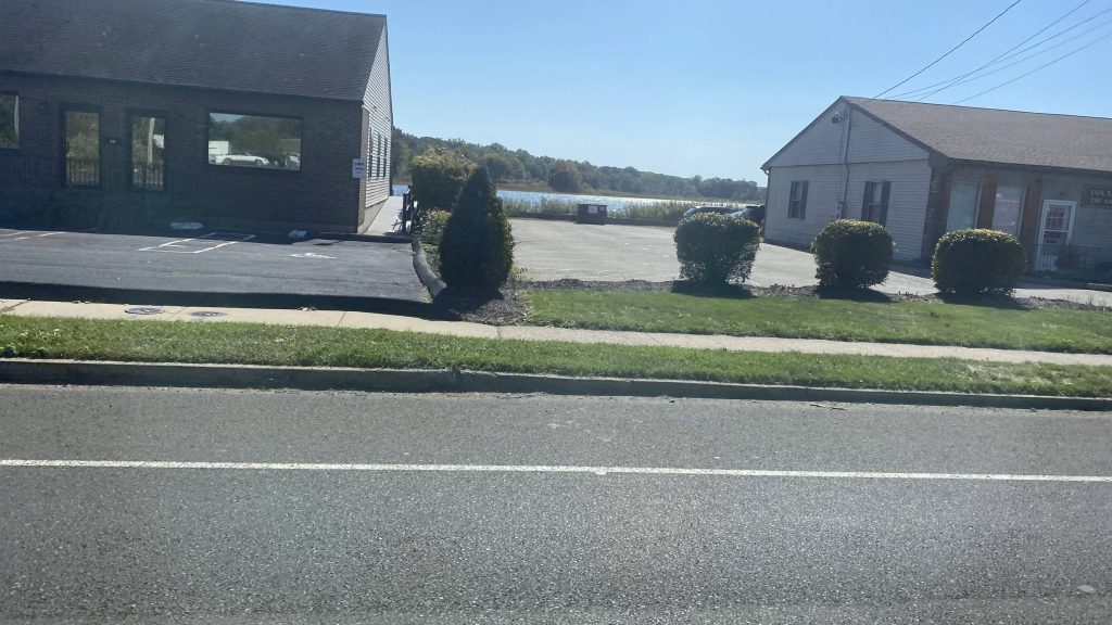
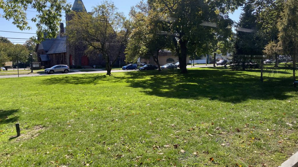
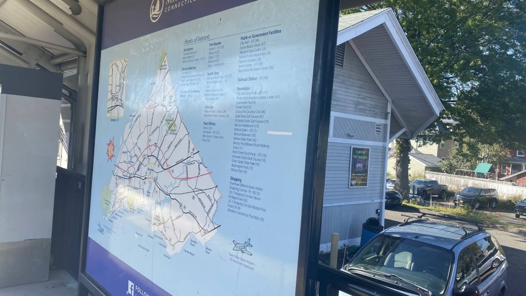
Milford Transit is kinda like GATRA in the sense it operates on a flag-stop basis. However, unlike GATRA, all three routes operate in loops, serving various parts of Milford. This route operates between the Post Mall, through northern Milford, to The Dock in Stratford, and looping back.
Leaving the bus shelter outside the train station, bus continues down New Haven Avenue, through the traffic coming off Broad Street. There were only three people total for the trip, getting on at various points, until we went up Old Gate Lane and deviated into the CT Post Mall. From here, we looped back the way we came, this time going under the Northeast Corridor, circling around the senior center (and picking up a few old people), and then going up towards US-1.
From here, it was largely a straight shot. We went down US-1, and eventually I got off at the Devon Center, checked out the area for a bit, then got the bus on the return trip to Milford Station.
The good: Well, it goes all the way out to a major shopping center in Stratford, along with a mall on the edge of Milford, all in a loop!
The bad: The headways kinda suck, though. But for a town the size of Milford, hourly headways probably are all that’s necessary – EXCEPT FOR THIS ROUTE WHERE THERE’S A THREE HOUR BREAK FROM 11AM TO 2PM!!! WHAT THE HELL?!
Nearby points of interest: Outside of downtown Milford, you have the mall, the Dock, and Devon Center.
Overall, it’s an alright route. Would be decent, even, if it weren’t for the 3 hour gap in service midday. Guess noone needs to go grocery shopping at that time!
Oh boy, a two for one deal! Well, at least on the surface West Haven looks better than the next station over to the south. But is it?
See ya!
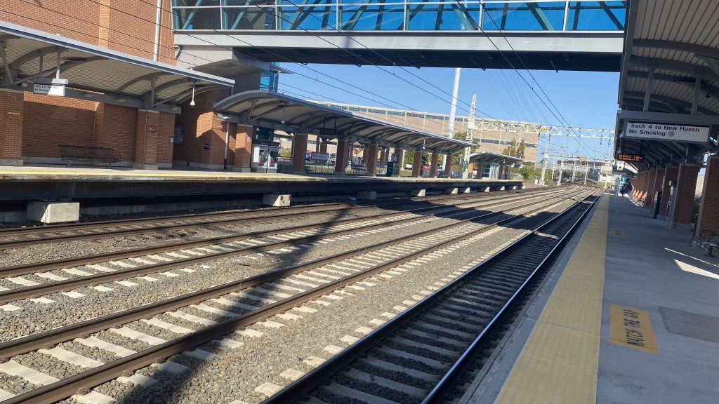
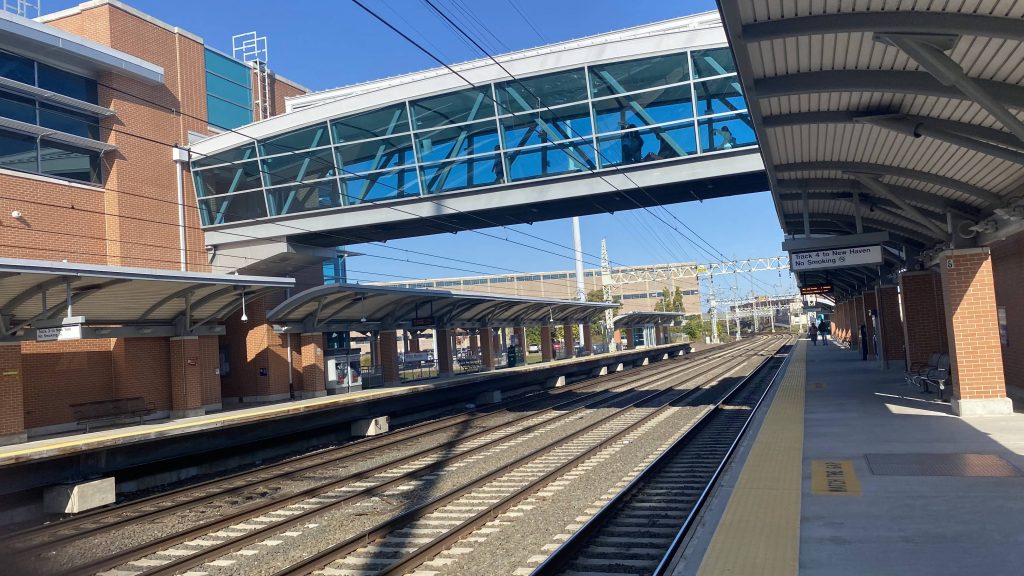
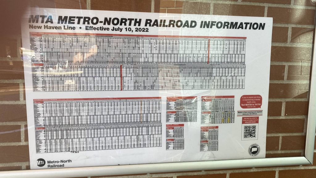
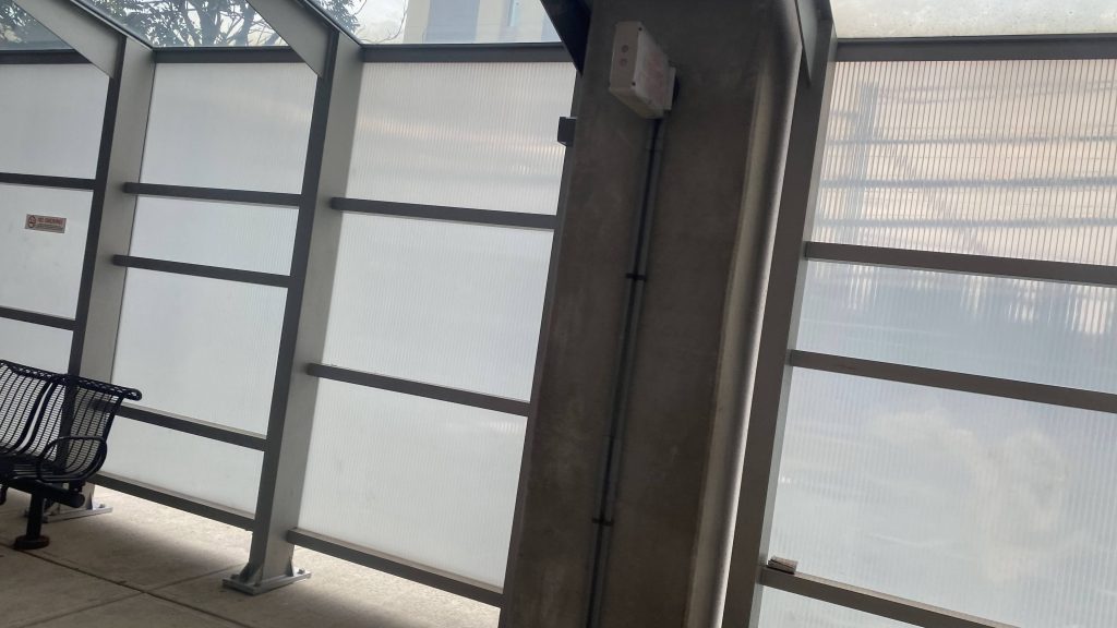
Alrighty, first off this place, once again, clearly gets ridership throughout the day. I think that’s going to be a common theme with Metro-North, now that I think of it. The station’s setup is quad-tracking with two sides adjacent to tracks 3 and 4. The platforms have canopies down most of their length, with what looks like a sheltered building on either end (like T.F. Green), but I didn’t check them out. Going into the crossover area, and the elevators are actually clean and don’t smell like piss. Holy crap! Metro-North schedules can be found here too.
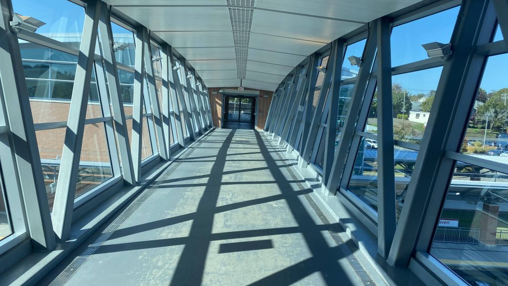
Looking up the track towards MilfordAnd the other way towards New Haven!The glass bridge. Reminds me of T.F. Green’s skywalkIt’s actually updated, too! Take that, MBTA! Oh crap, my thumb got in the shot…HOLY CRAP, IT DOESN’T SMELL LIKE PISS OR DOOKIE!
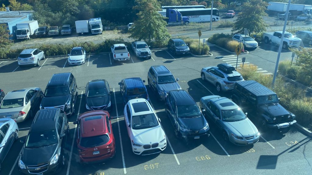
From here, we can see that yet again, parking isn’t an issue and is plentiful. This area also reminds me of the Shore Line East with the brick and glass design. I swear, does the MTA actually give a shit about their stations???
Parking o’plenty!The bridge!The tracks towards either directionThe stairs
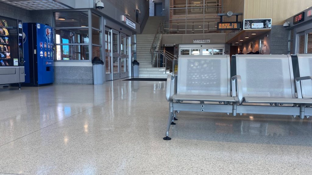
Lastly, there’s the waiting area. This area reminds me quite a bit of Route 128‘s with the airport terminal style. Seats are also servicable, and an MTA ticket window can be found here. When was this place built, anyways?
*googles around*
2013?! Holy crap, that new?! Well, I guess it does show. Moving along, point is that it’s definitely servicable and is quite nice.
The lobby. Had to get creative to not get any clear faces in my shotOh look, a Re- I mean, an Acela!
The good: It’s well-used! Also, it’s pretty damn clean for what it is, and the MTA even clearly gives a shit about the station. Parking is also aplenty and there’s a waiting area open all day too.
The bad: I mean, I can’t think of much. I guess the biggest complaint is that it’s seemingly in suburban hell, but even that is remedied by the fact there’s CTtransit connections here.
Nearby points of interest: I mean, you have West Haven. I don’t know much about the area but Google Maps would suggest there’s a Yale campus somewhat close by. It’s a little ways away from the town center, though.
Transit connections: Metro-North (New Haven Line) CTtransit (265)
Overall, it’s a nice station. However, I’d have it as a 10/10 if it were closer to West Haven’s town center, since the tracks run closer to there. Nevertheless, it’ still getting a high score.
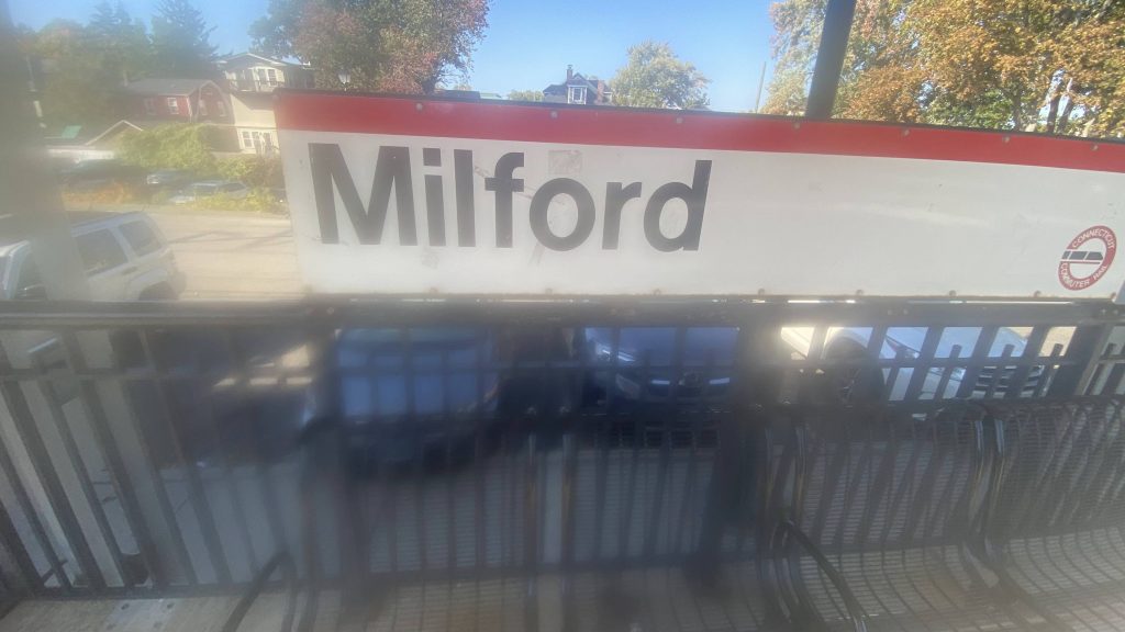
It’s a little blurry here, but here’s the sign! Not very different from the Shore Line East’s.
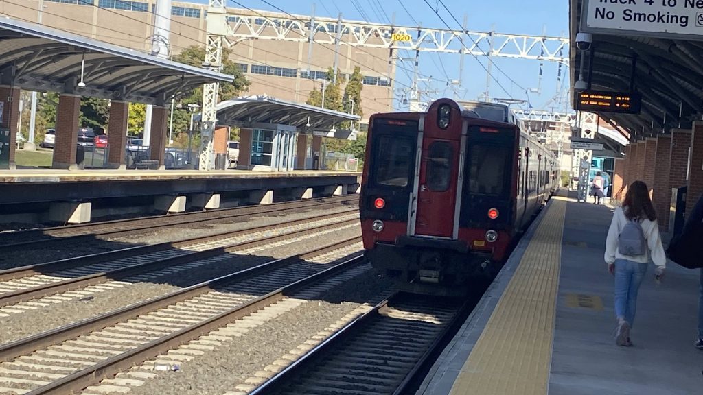
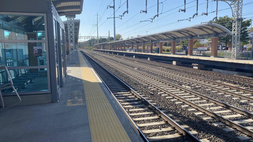
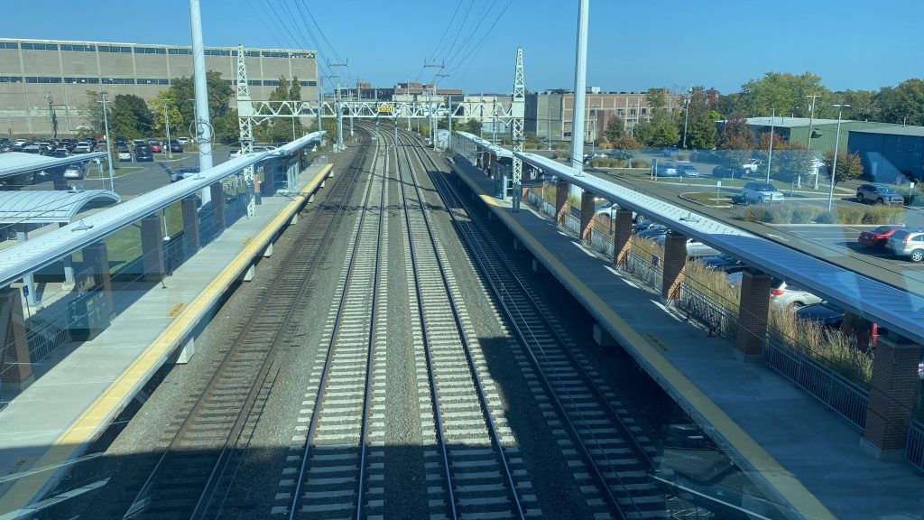
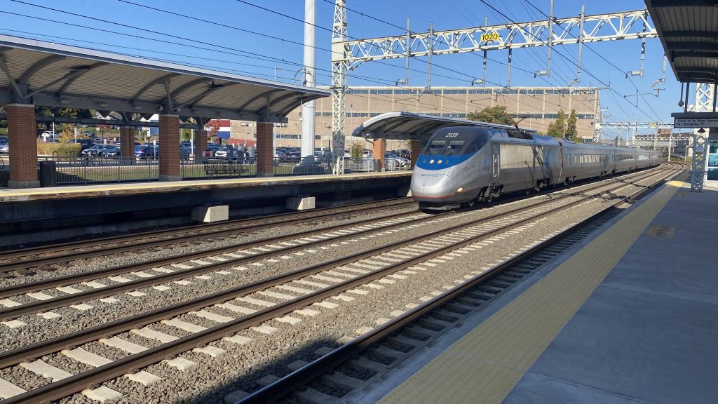
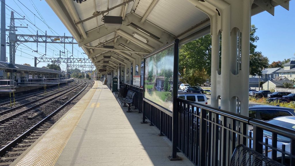
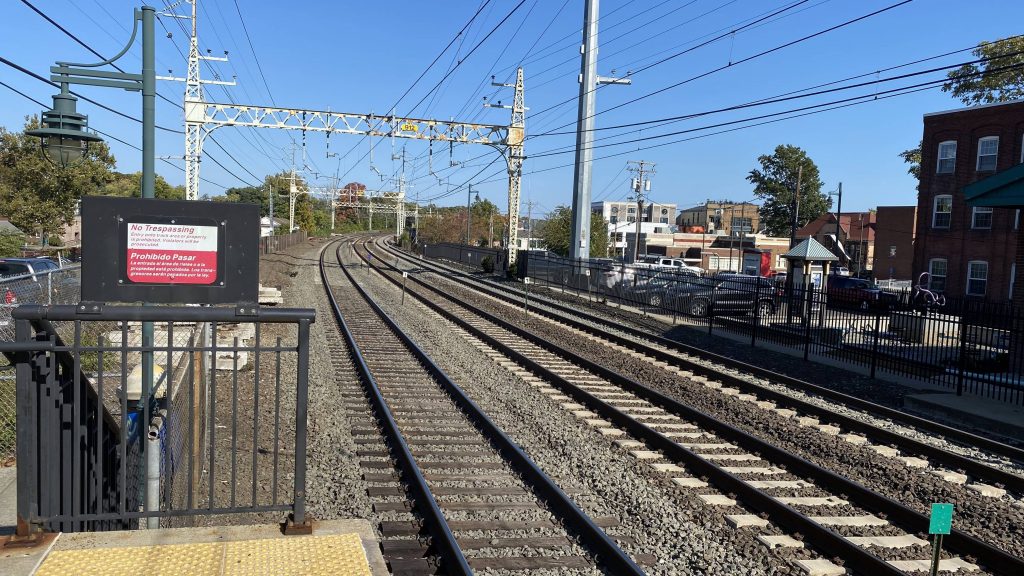
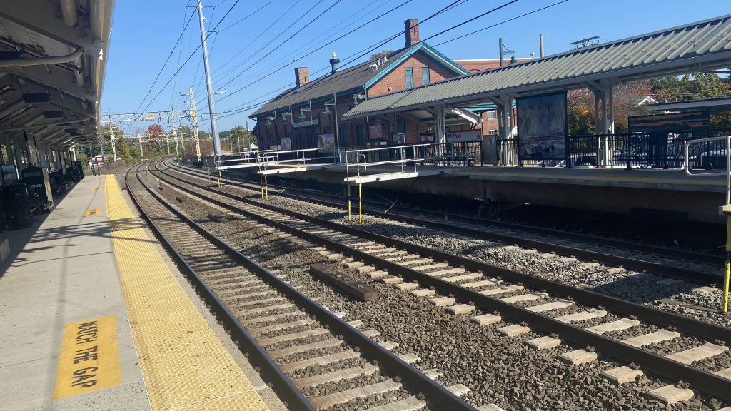
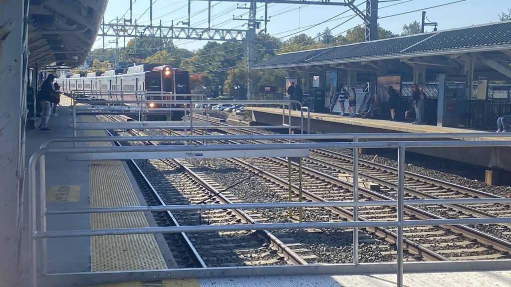
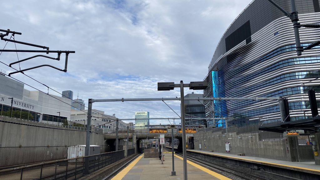
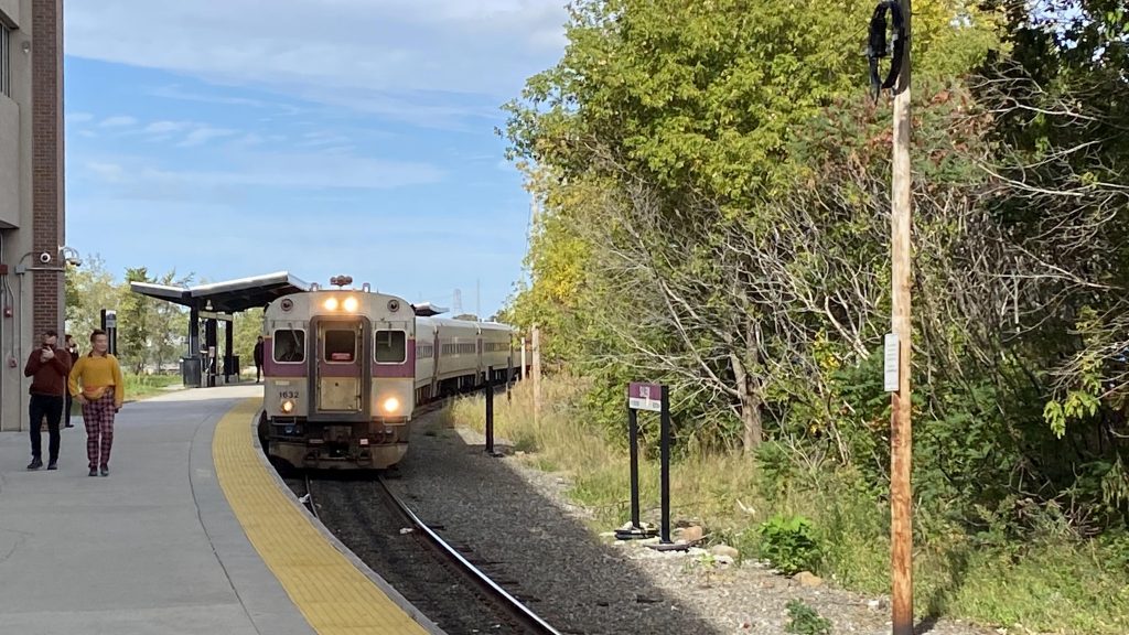
Alrighty, so Milford’s setup consists of two sides on a triple-tracked Northeast Corridor. In essence, it’s got the same setup as places like Guilford and Hyde Park. The platforms are mostly sheltered, which is nice. But, why is the inbound platform longer than the outbound?
Look at how long the platforms are! And the 100+ year old catenaries!
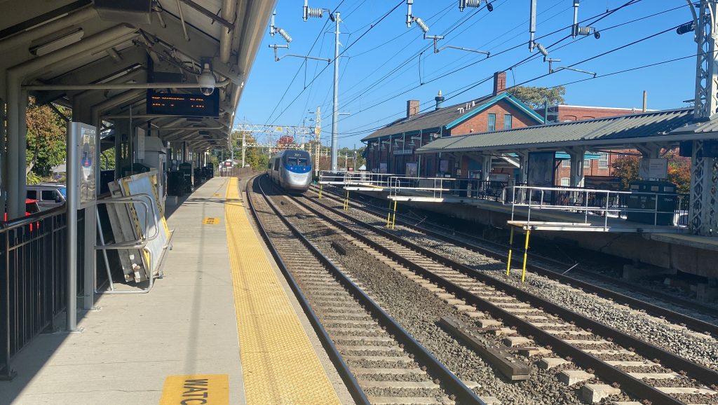
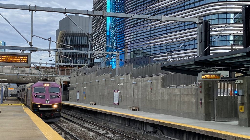
Also, why are there bridges over track 4? Was MNRR trying to neuter performance through here, or is it because they’re doing work on that track upstream? Oh well. On either track you can also find MNRR ticket machines, which is nice to see this far out of Grand Central. There’s also plenty of parking and it’s clearly well-used. On the street, one can also make connections to CTtransit, Milford Transit, and the Coastal Link as well. Neat. I will say, though, the lack of any “train approaching” warnings like along the rest of the NEC does feel a bit weird given the sheer amount (at least 3 every 5 minutes!) passing or stopping here.
Curvy!Neat, signage for Milford!The bridge platesNeat, an Acela!
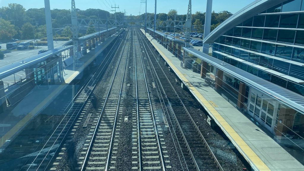
Alright, but how do you cross over? Well, to cross over, you have to go down the parking lot, onto the main street, and back up. This, um, isn’t very accessible. I mean, it is on paper, but in practice it’s not easy.
This is your crossover should you be on the wrong side
The good: It’s in a pretty good place, in downtown Milford! It’s also well-used, with even offpeak trains seeing a decent amount of ridership in each direction! But, given the mere amount of trains that stop here, that probably amounts to a relatively small ridership per train. Still, nice to see a station like this to be well-utilized.
The bad: The lack of any real ADA-accessible crossovers between platforms. Yes, it’s accessible on paper, but is it easy to use? Not really. Also the lack of any “train approaching” warnings like further up the NEC. And why are the platforms of differing length?
Nearby points of interest: Pretty much all of downtown Milford! The Connecticut Post Mall is also a stone’s throw away by bus, which is nice.
Transit connections: Metro-North (New Haven) CTtransit (271) Coastal Link Milford Transit (2, 3, 4)
Overall, first impressions matter. And, while it’s not the best station, it could certainly have been worse. In terms of how bad, it could certainly be worse, and much worse at that.
Alrighty, we’re heading to the North Shore! Original plan called for my friend and I to ride the SL3 and a Newburyport/Rockport train to Salem, but shit timing ended up leading to a Blue Line transfer at Airport. Shittier timing led to a 30 minute wait for the 455 at Wonderland. Eventually the bus arrived, and after putting up with a loud bunch of about 10 teenagers, they quieted down boarding the bus. Thank GOD.
See ya, Wonderland!
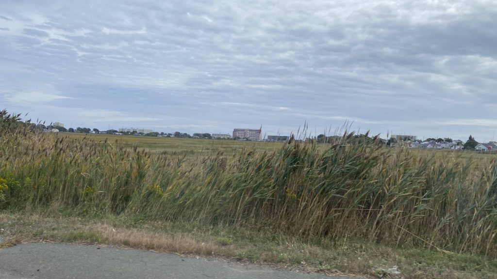
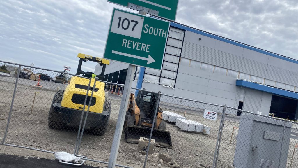
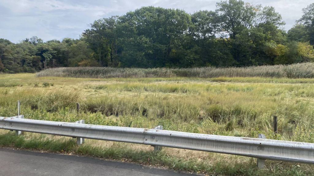
So, we pulled out of Wonderland’s busway and we made our way up to Revere Street. From here, we turned left, and picked up a few people. Fortunately, it wasn’t long until we went through a roundabout and on the Salem Turnpike, where the operator decided to hightail and floor it down Rte. 107 through the wetlands between Revere and Lynn.
A lot of parking’twas a part-time jobTurning down Revere St.Church!No bedbugs, hopefully!Someone got off hereWetlands!
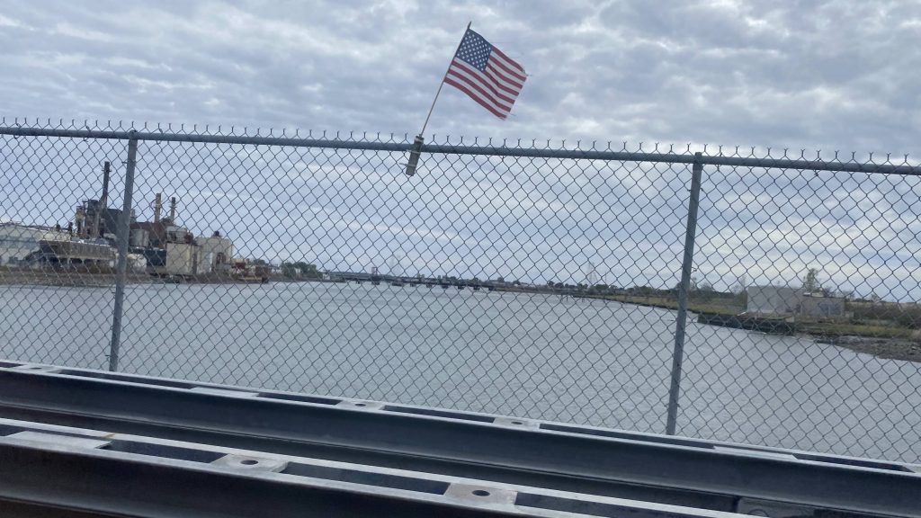
So we floored it, passing some buildings on either side, but no stops as this was essentially a highway. Among these buildings were GE’s Riverworks plant which also housed a train station. Naturally, no deviation. Now that it was Western Avenue, people were getting on and off, primarily for local travel within Lynn. It was a bit dense, about as much as Revere, and to be honest this place could use a Blue Line extension with a stop or three. Of course, this route wouldn’t be complete without us going down Center and Market Streets, deviating into the Lynn Center busway. Yes, people got on here. No, noone transferred to the Commuter Rail which was expressing (station closed a day prior for repairs). Nevertheless, we pressed on through Lynn, as well as Swampscott, by following Union and Essex Streets.
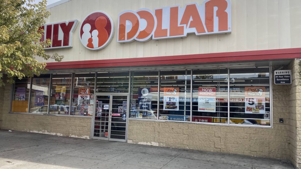
More wetlandsAnd more yet againConstructionA drawbridgeRiverworks!Density matters!Screw you and your car!A one-way streetMind the dead!Aw crap, the Woonsocket sphere of influence strikes againAnother church!A strip mall in LynnVleugh, parking.Lynn Center’s buswayDowntown Lynn!Family Dollar?!Local meat marketSEYMOUR! THE HOUSE IS ON FIRE!A package storeDensity!Charlie Baker’s homeland of Swampscott
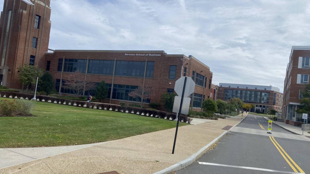
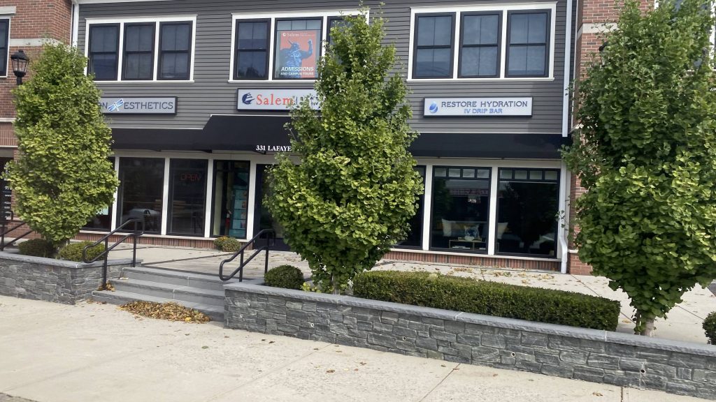
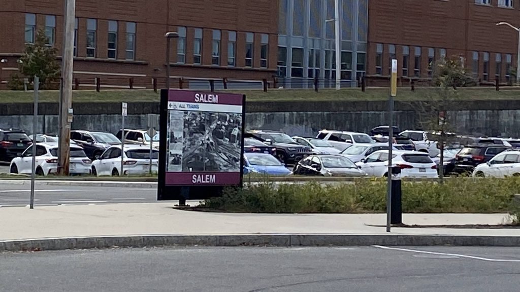
Of course, after passing through Governor Charlie Baker’s hometown of Swampscott, the road became Loring Ave., which we still followed all the way into Salem. It was largely residential. Going into Salem, we passed Salem State University, and eventually houses started getting a bit more grandiose and historic-looking. We turned down Lafayette Street, and a couple of more turns brought us into the crowded downtown Salem. Yes, this was during peak tourism season. Fortunately, soon after, and after everyone got off the bus along Washington St., we made it to Salem Depot (aka Salem Station).
Run time? About an hour.
Hello, Newburyport/Rockport mainline!Condos?! Eww!More parking, oh my!More marshlandsGreenhouse school?!Salem State!Welcome to Salem!Old-looking houses!Ma’am, this is a Wendy’s!NOW we’re talking!Oh no, not the dots (on the other side)HELVETICA BOLD!
The good: Well, you can’t say it doesn’t serve a lot! Ridership seems to be primarily concentrated at Wonderland, Lynn, and downtown Salem for sure. Salem itself is pretty nice, both in the tourism regard and with its historical context (the witch trials and whatnot, even had an Arthur Miller play based on it). Even outside peak tourism season (October), during the summer it’s a nice place to walk around and whatnot.
The bad: The headways kinda suck though relative to the rest of the MBTA, being hourly. Vs. other RTAs it’d be alright, but this is the MBTA we’re talking. Then again, they also have subway lines running on upwards of 15-20 minute headways as of me writing this. But hey, maybe hourly isn’t as bad for Lynn and Salem as it seems at first glance, as the route does take around an hour from end to end.
Nearby points of interest: Wonderland has the Blue Line! You also have whatever there is in Lynn (sorry, I’m unfamiliar with the area), as well as Salem. I even went candlepin bowling at a nearby alley.
Overall, while I’d increase headways to half-hourly during the tourism season, maybe it isn’t as necessary as, say, half-hour headways on a Salem express. Hell, odds are most tourists are taking the train in if they’re going to take transit to/from Salem.
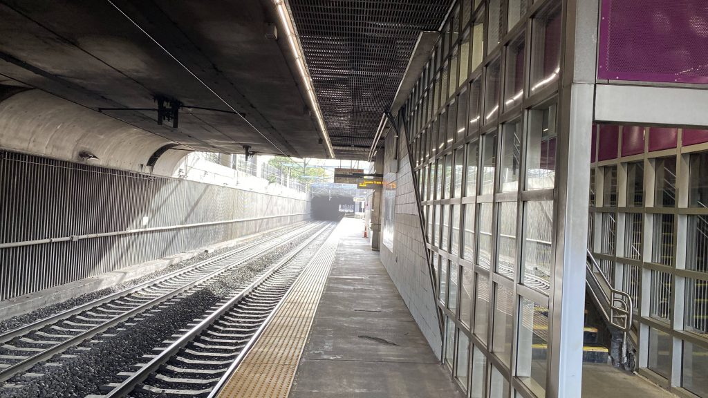
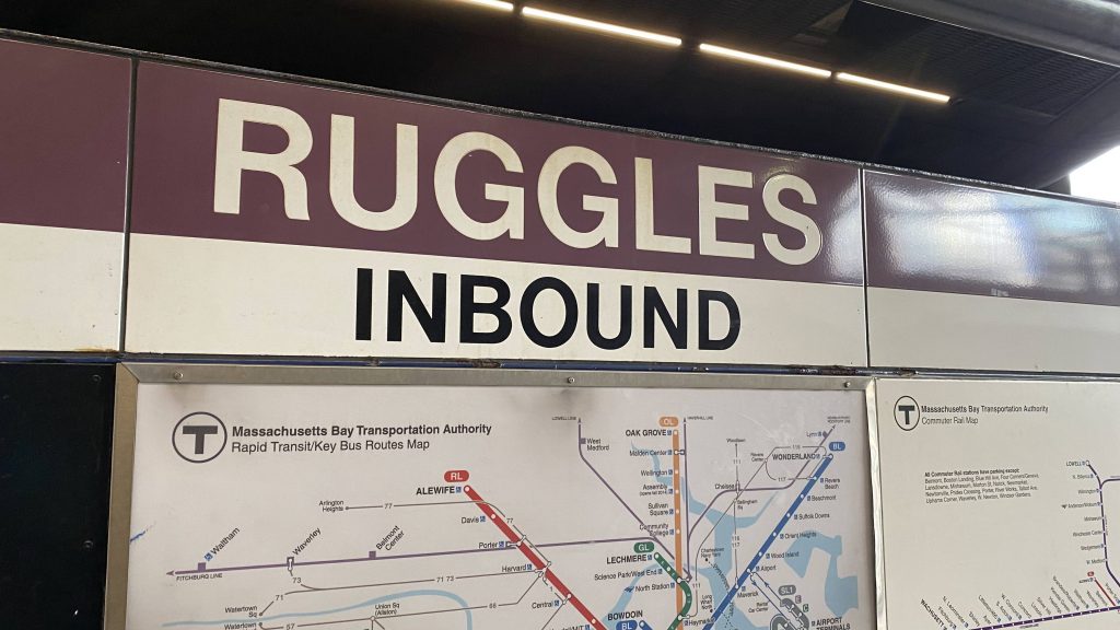
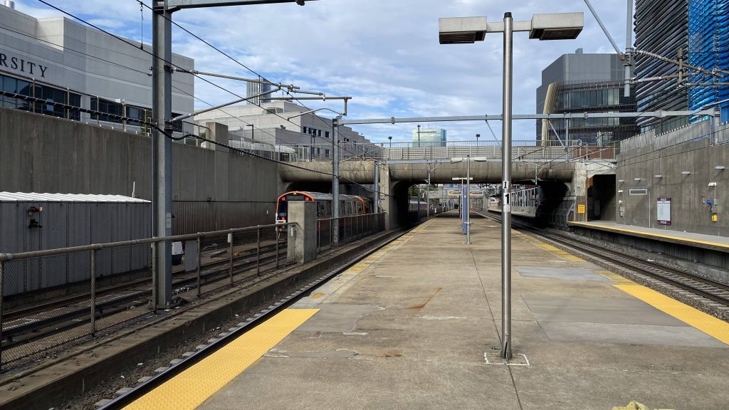
Finally, the last Providence Line station! And it’s also an Orange Line station! Man, is it nice to be back in the Southwest Corridor.
Don’t touch the third rail!
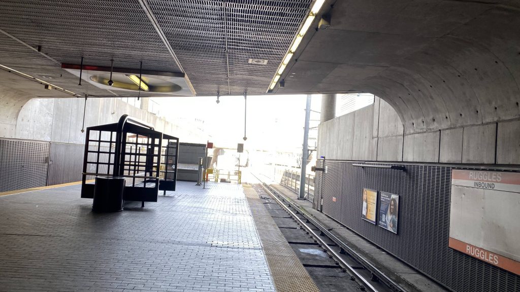
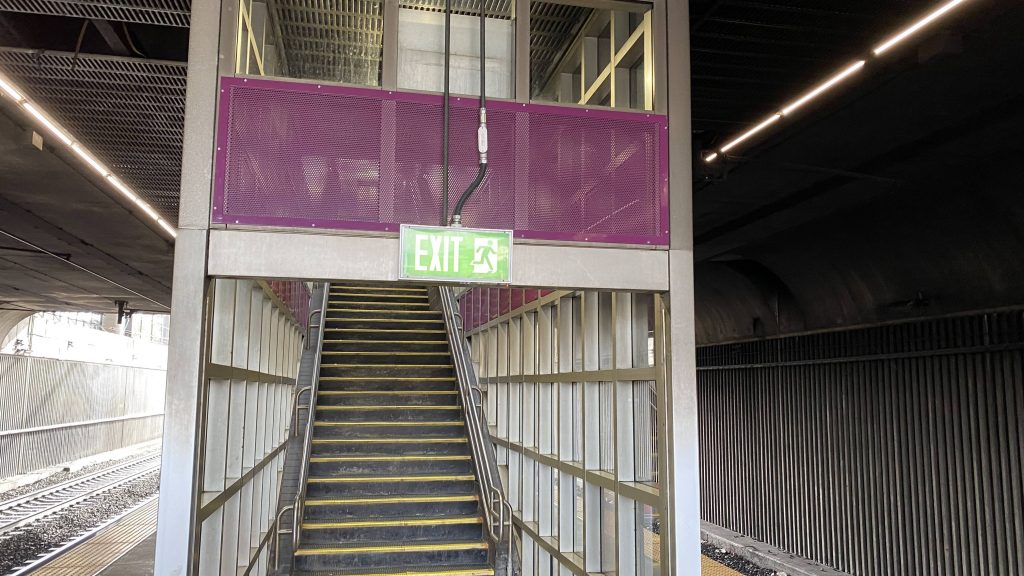
Alright, so the Orange Line platform is kinda underground (essentially, the building is an overpass), but it provides protection from rain. Oh yeah, the Orange Line opened up about half a month before writing this. Nevertheless, my friend and I went up to the main area.
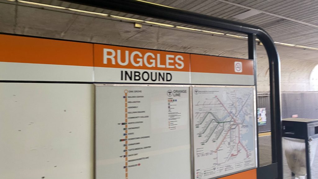
Orange Line Helvetica!Fare control!
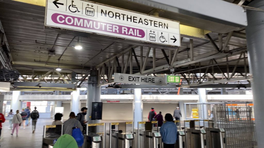
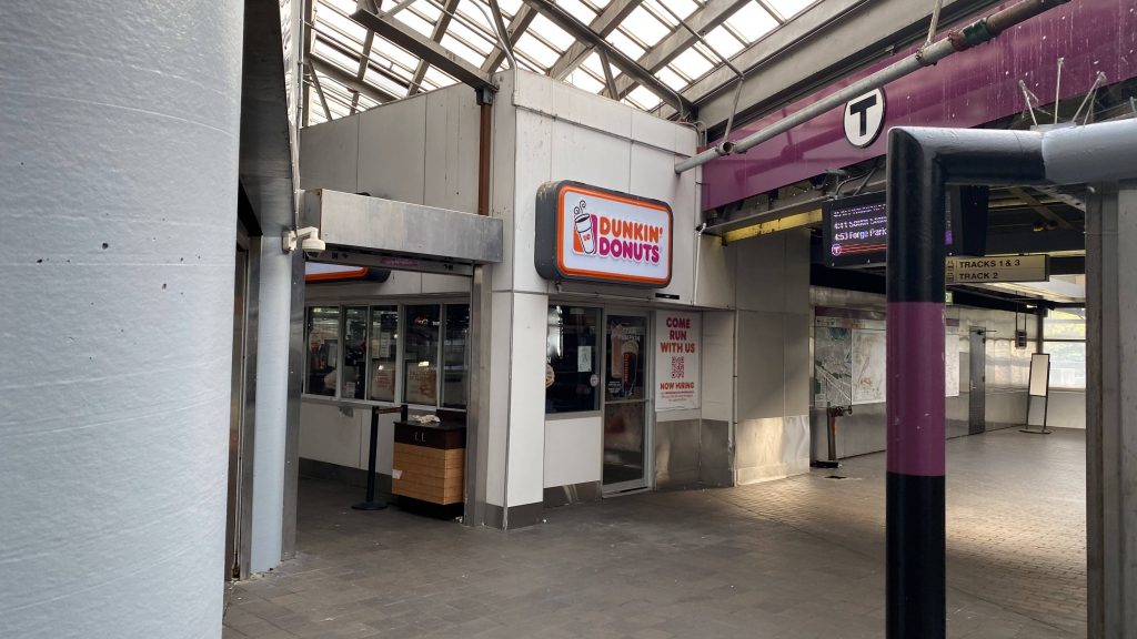
So, the mezzanine was spacious and had a few businesses. Oh yeah, there’s a Dunkin’ as well. Going further, there’s a busway that can be found that’s spacious and there’s also a Dunkin’, along with CharlieCard machines.
Dunkin’!The busway!
Moving on to the Commuter Rail, the platform is depressing to a degree, being not the most aesthetically pleasing area. However, despite half the platform being closed off on one side, there’s still benches and wastebins along with countdown signs. The one for track 2 is on the side platform, while track 1/3’s is at Dunkin’.
History!David L. Gunn edition ACS64!Looking southbound!
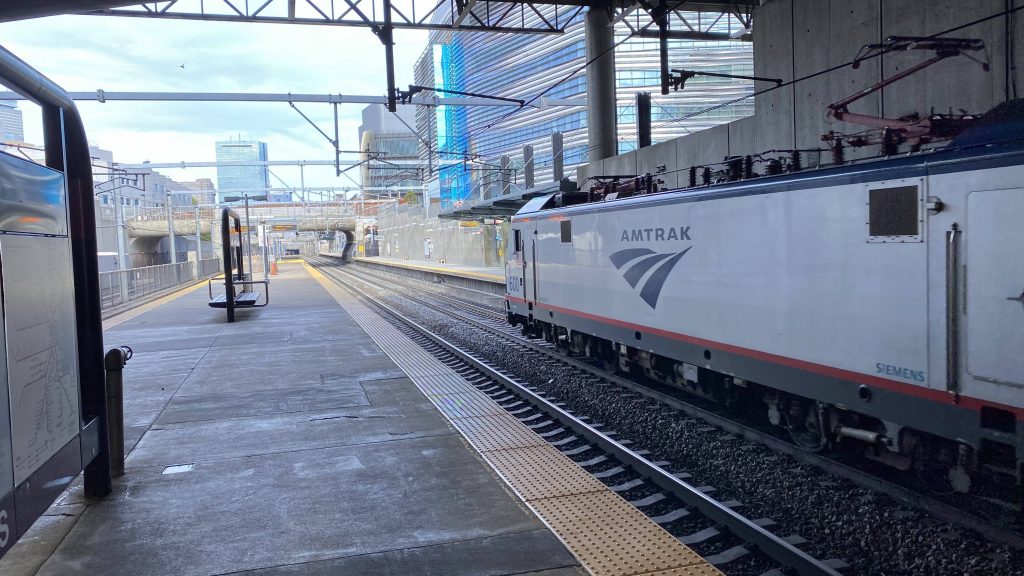
As for train service, you’ll see Amtrak express, but pretty much every train passing will stop for the MBTA.
Stairs!Helvetica in purple!A CRRC train!The skyline!An HSP46!
The good: It’s close to Northeastern University! It’s also got a number of bus routes, with it being the primary transit center for Roxbury. It’s also a short on-foot transfer away from the Green Line’s E branch, by way of Northeastern’s stop.
The bad: The platforms are just sad! Like, I get it’s the Southwest Corridor, but at least open the Commuter Rail platform a little more! Also, what’s with the station being mostly closed on Sundays, including Dunkin’? Just a nitpick.
Nearby points of interest: Northeastern University is the big one! Nubian Square is also a little ways away.
Overall, it’s a well-placed station. It can get a little cold during the winter (esp. if today is any indication), but it’s not that bad a station. But please, extend the Commuter Rail platform!
Woah, what a wicked awesome town! Wait, is it? Oh crap, it’s Salem. Uh, uh, I can reassure the jury I’m not a witch at least. So, how good is th- and it’s a park & ride.
Helvetica bold in the busway
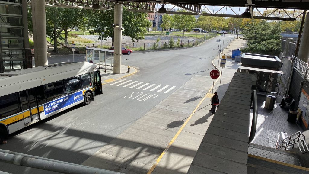
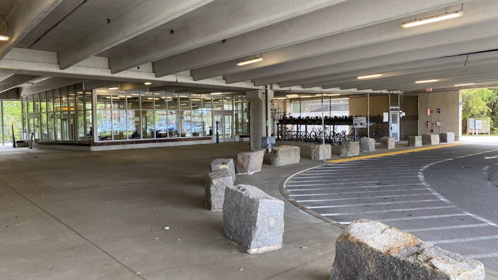
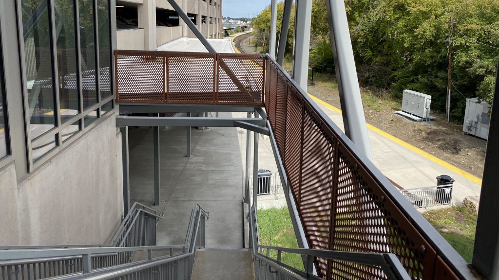
So after getting off the 455, we’re greeted by the busway. Of course, from the outset, there’s so much parking some’s even outside. Nevertheless, looking at the parking garage, it’s clear that unlike Wickford Junction, it’s actually well-utilized. Plus, there’s some MBTA logos slapped on it. Going inside, one can find a waiting area (which was kinda cold, today, likely because the air outside comes in) and a Pedal & Park. The platform is also fully high-level, which is nice on a line that’s mostly mini-highs. Except for River Works, we don’t talk about River Works. Oh yeah, there’s also a tunnel on one end going right through downtown.
Waiting area & Pedal and ParkStairs down to the platformElectronic signage!Here comes the train! And yes, there were MBB coaches.
The good: Well, it’s centrally-ish located in Salem! And it’s open-air, unlike Back Bay. It’s also pretty much fully unobstructed unlike the Southwest Corridor. Plus, the amount of parking is good, unlike at Wickford since it’s actually utilized. In fact, this is the most-used station outside zone 1A!
The bad: Well, I guess the curve can lead to a gap between the platform and train. The stairs might also be annoying, but there’s an elevator if you need accessibility.
Nearby points of interest: Well, Salem! You’ve got all the wicked witchy tourist attractions around town that everyone comes here for!
Overall, this is a pretty decent station. It’s just outside downtown Salem, doesn’t seem out of place due to being a little ways away (but still walking distance), and is in a walkable area. It’s wicked good for a park & ride, at that.
Finally, the last of the 9 Town routes! Thank freakin’ God!
The routing
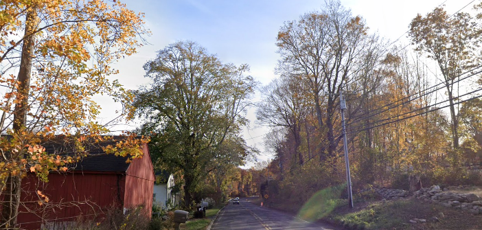
The route starts at the Middletown Terminal, deviating into the Middlesex CC, then down the expressway. Eventually, it turns off at Rte. 81, following it all the way to Clinton. Of course, you have the small town of Killingworth.
Not the most interesting place
Moving on, once in Clinton, the route deviates into Clinton Crossing, over the interstate, and mirrors the 641 passing the train station. It ends at the Scranton Gazebo where one can transfer to the Shore Line East, CTtransit’s 201, and the 641.
The good: Hmm, I guess it’s a major link between Madison and Middletown, connecting the two together via transit.
The bad: Yet again, 2 hour headways. And there’s no weekend service. Yeah.
Nearby points of interest: Madison and Middletown. Killingworth isn’t the most interesting of towns either. Sorry! 🙁
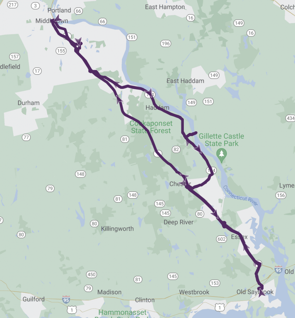
Alrighty, I know, I know. Y’all can groan over me doing one of these kinds of entries again. But, I live by a 50/50 rule, where these kinds of entries can’t exceed 50%+1 of any given RTA. I’m technically not counting the Clinton Trolley as I’ve ridden enough of the routing via another route (the 641), so we’re within the 50% rule here. Let’s take a look at two very similar routes: the 642 to Chester and the 644 to Middletown (via Old Saybrook).
The 644’s routing
First timepoint after going express is the Essex park & ride. A bus shelter can be found here, however I’m not sure how many people actually use this as a park & ride for commuting, given the 644’s infrequency. The 642 also stops here. It’s here that the 642 runs local all the way up into Chester, sometimes with an on-request stop to Ivoryton. The 644 runs express, sometimes with an on-request deviation that involves crossing the Connecticut River. There’s also a transfer with the 645 at the end of the route, both at the Middletown terminal and Middlesex CC.
Both routes
The good: Well, both routes serve a lot, and have deviations that make sense with on-request ones that should stay as such.
The bad: So, we’re back to 2 hour headways, weekdays only, eh? Well, I lied. The 642 runs on Saturdays. The 644? Nah, forget about it.
Nearby points of interest: Middlesex Community College, I guess, and Middletown. Chester doesn’t seem that interesting at first glance. Sorry!
Overall, I think these routes, on paper, just like the rest of 9 Town, could use a frequency buff. Like, even hourly would be more usable. Please, for what it’s worth, throw a second bus on these routes!