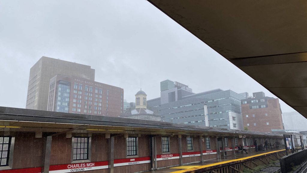
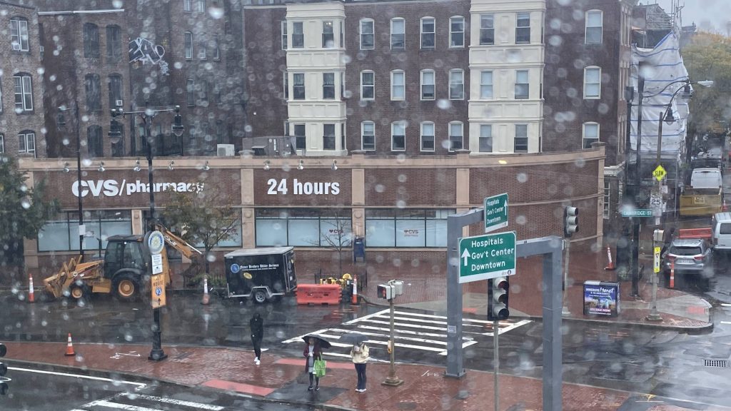
They say this station can get you a nice view of the Boston skyline. Well, not really, if it’s a rainy day. Oh well!
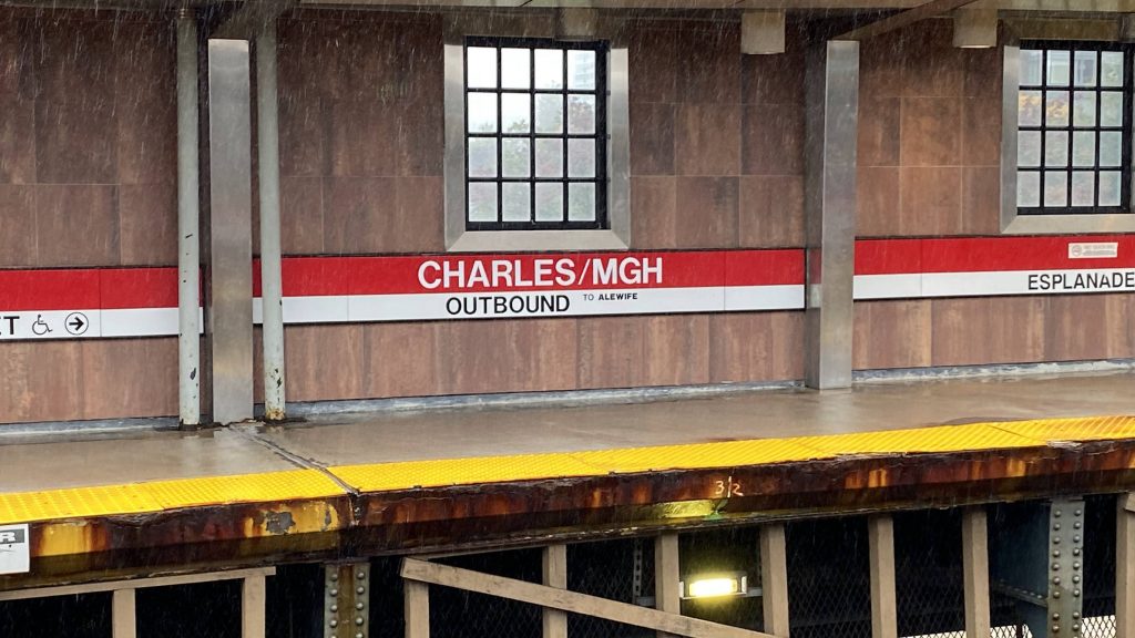
Helvetica on the other side!
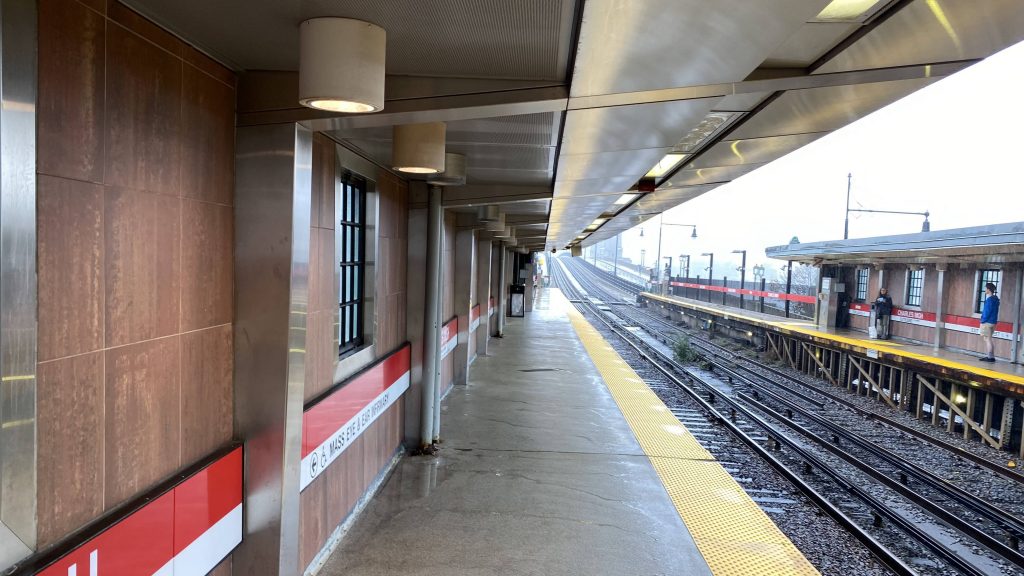
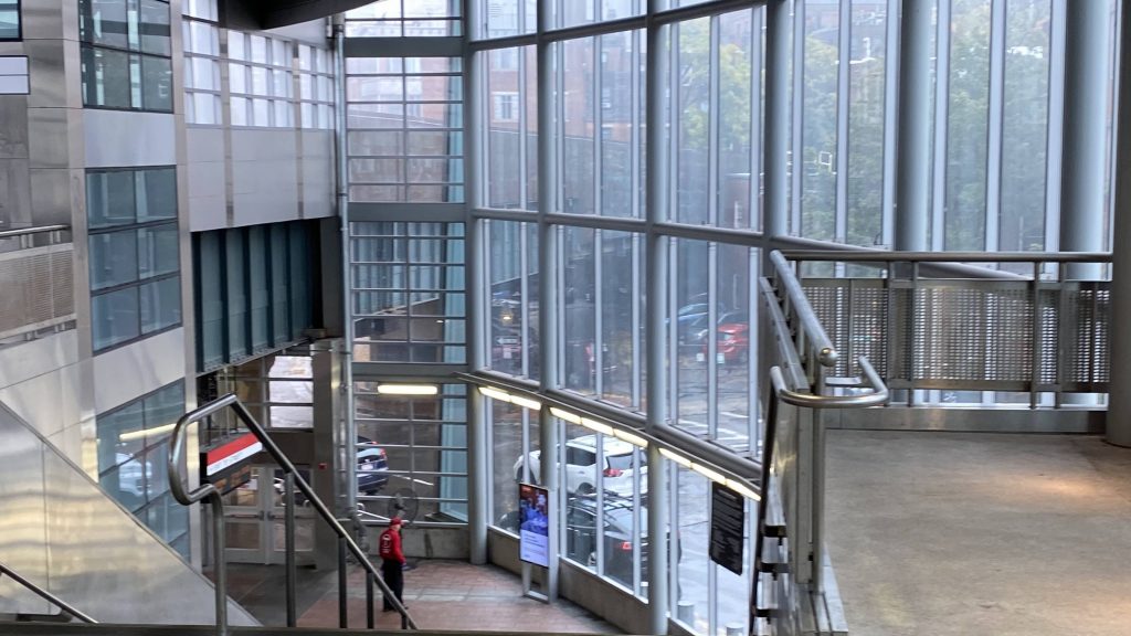
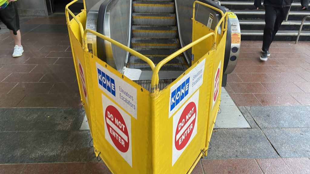
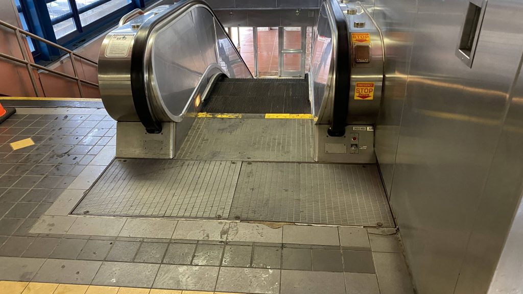
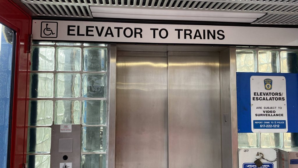
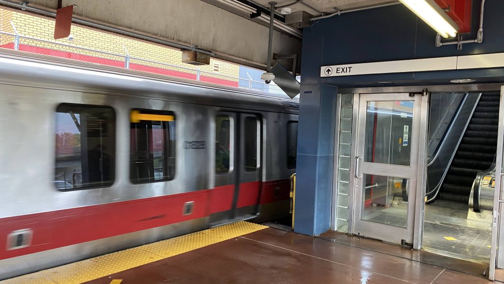
So, in contrast to most (all, to my awareness, actually) Red Line stations, Charles is elevated above a roundabout at the start of the Longfellow Bridge, which crosses, you guessed, the Charles River. Going inside, the mezzanine has stairs, an escalator (which is out of service), and an elevator for accessibility. Oh yeah, it’s pretty much all glass. Exits here go out towards Charles and Cambridge Streets, and the Esplanade. As for future plans with the station, there’s talks of extending the Blue Line out here and converting it into a transfer station with an underground platform, presumably with access within fare control.
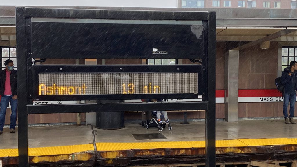
SO FOGGYLooking down the Longfellow BridgeI don’t think this sign worksCVS!The lobby and fare controlNaturally.
The good: It’s cool to have an elevated station! You’ve also got Mass General Hospital nearby along with the parks along the Charles River. It also just looks cool.
The bad: It’s located in the middle of a damn intersection! Have fun hailing Mary and praying you don’t end up at MGH!
Nearby points of interest: MGH and the parks!
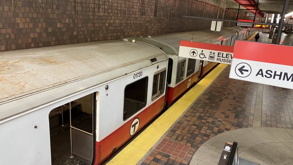
Transit connections: Red Line (Ashmont, Braintree)
Overall, it’s a nice station. Better that it’s elevated. However, the major problem with this are the lack of a Blue Line transfer and the fact it’s in the middle of an intersection.
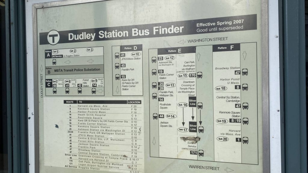
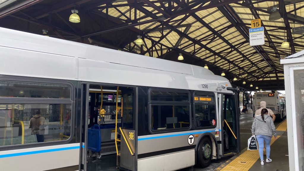
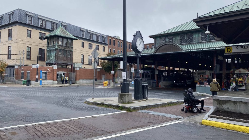
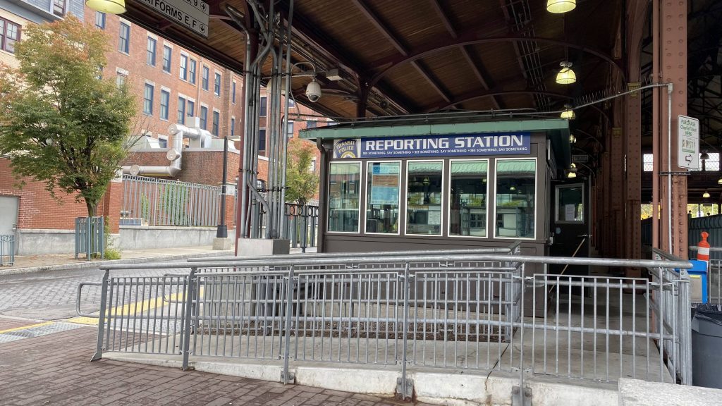
So, it’s complex enough to where some of the berths aren’t exactly clearly labelled. Furthermore, this is the main bus station for central Roxbury. It also feels a bit dark, despite the absurd amounts of lighting, though that’s probably because it was a rainy day when I was here. So, what else is there? There’s a transit police kiosk here, and a “Dudley Station Bus Finder” from …2007?! Yikes.
The SL5 that a friend and I got off ofPart of the stationMBTA transit police kiosk!
The good: Well, it’s kinda cool they used parts of the old Orange Line station to build this. Furthermore, you can’t say ridership is bad because this place was CROWDED (even though the pictures don’t do it justice). It’s also centrally located in Roxbury.
The bad: It’s kinda dark with the lighting being useless during the day! I’m sure it’s there to discourage crime, since it’s not in the best of areas, but still it’s kinda useless. Furthermore, why isn’t the Silver Line in its own ROW outside mixed traffic here?! Now, I know, that’s a major complaint with the Silver Line as a whole but still. Also, why is the station map from 2007?! There’s also no amenities that I could find.
Nearby points of interest: Not much at first glance, but you have the Roxbury branch of the Boston Public Library, though!
Transit connections: Silver Line (SL4, SL5) MBTA bus (various)
Overall, I’d argue this place is pretty much Boston’s Kennedy Plaza. If you’re comfortable at Kennedy Plaza, you’ll likely be comfortable here. That said, unlike KP, there’s no bathrooms or, to my awareness, benches or seats.
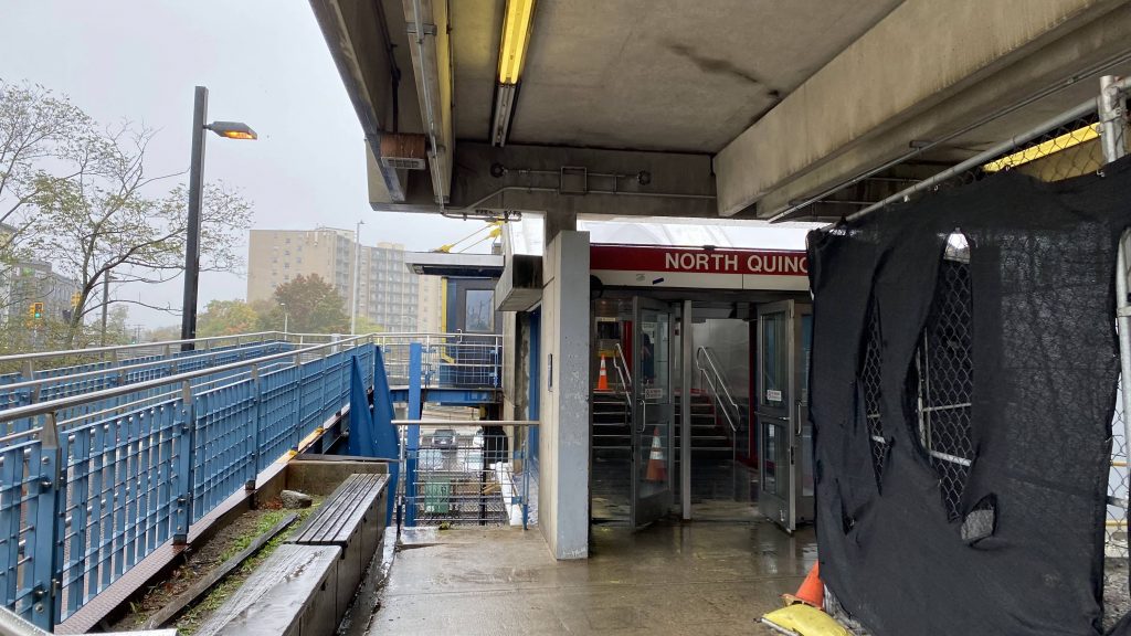
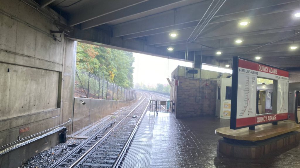
Ah, another Quincy station. At least, this one isn’t as large as the others, so it should be a quick one.
The MBTA waypoint
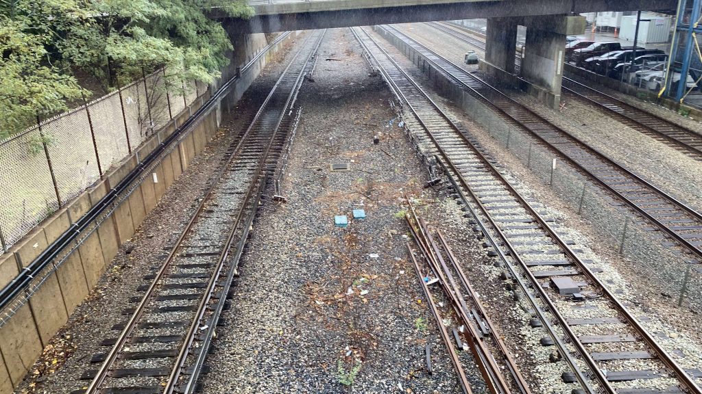
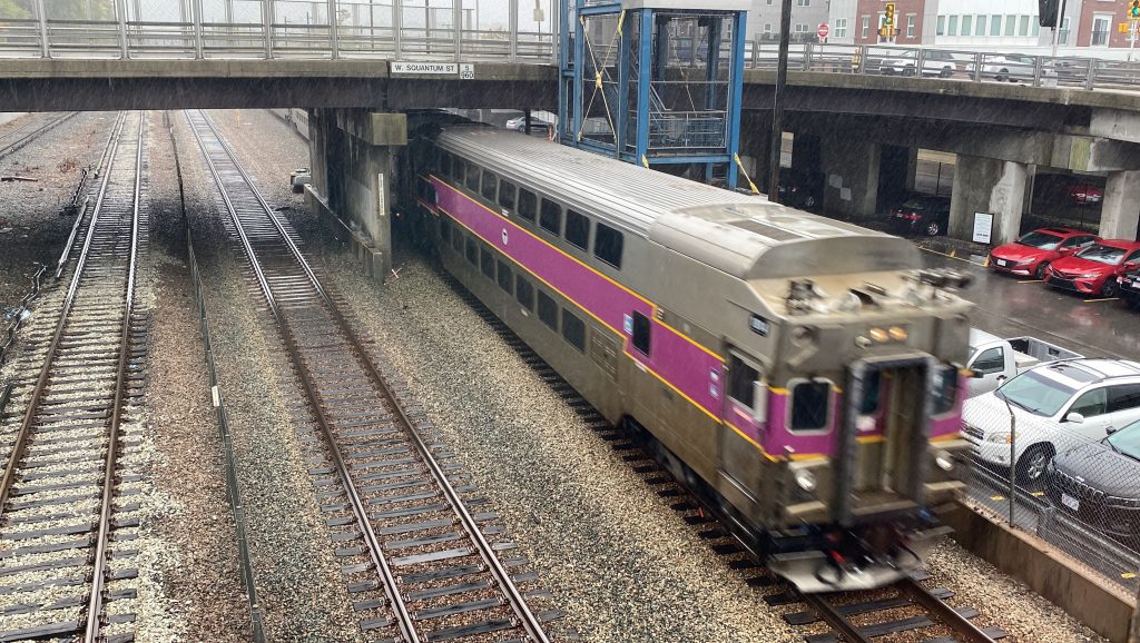
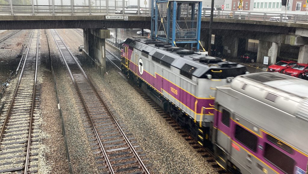
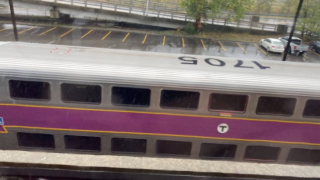
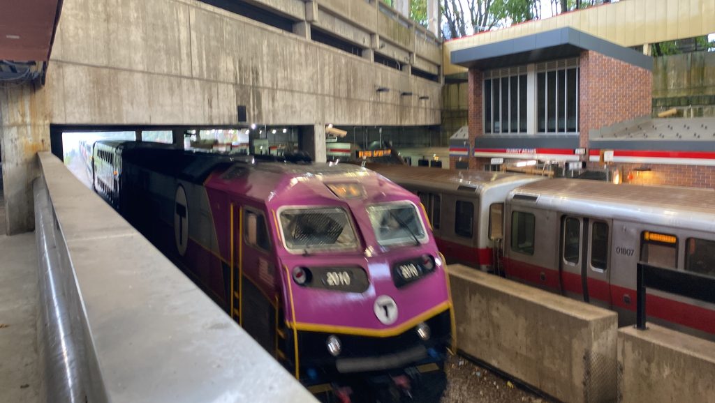
So, of course, the platform seems a bit small getting off the train, but that’s likely due to the simple fact it’s a relatively small island platform sandwiched in Quincy. Ridership isn’t high thankfully, so the station isn’t overkill. There’s also a small mezzanine area where fare control is, along with CharlieCard machines. There’s a shelter on the platform, along with a small busway serving four (relatively infrequent) routes. The mezzanine might also be an alright place if one wants to foam the Old Colony Lines while still being safe from the elements, but mileage may vary on that.
Helvetica and stairs upThe Red Line, with Old Colony to the sideTrain!eff fourty pee haychAn escalator downBilevel cab car!The elevatorThe Red Line!Towards Boston, from Braintree. And a parking garage.Platform-level shelterAnother train
The good: It’s got two entrances (the other of which I have reasons to believe is much of the same), one from the street and the other from the parking garage. Furthermore, it’s relatively walkable vs. Quincy Adams and Braintree. Being in a residential area, it’s largely got ridership locally rather than from afar.
The bad: The platforms can get a little tight. This place also feels like a time capsule in a not so good way. And lastly, it’s just so damn far from JFK/UMASS.
Nearby points of interest: There’s a Target here! If you’re willing to walk approx. half a mile, you can also get to the beach from here.
Transit connections: Red Line (Braintree) MBTA bus (210, 211, 215, 217)
Overall, it’s alright and functional, but it’s just so very dated. Just, please give this one a reskin.
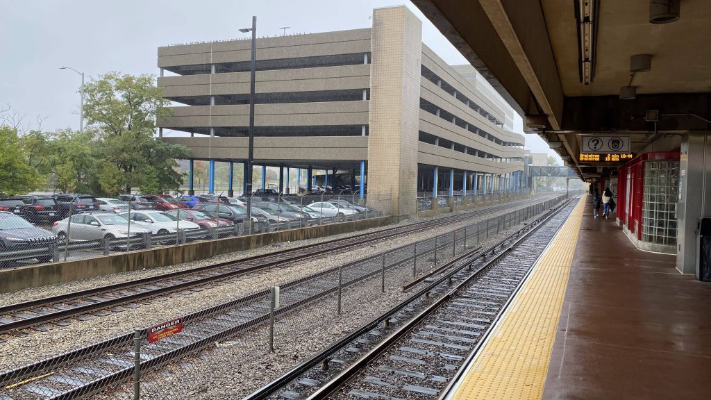
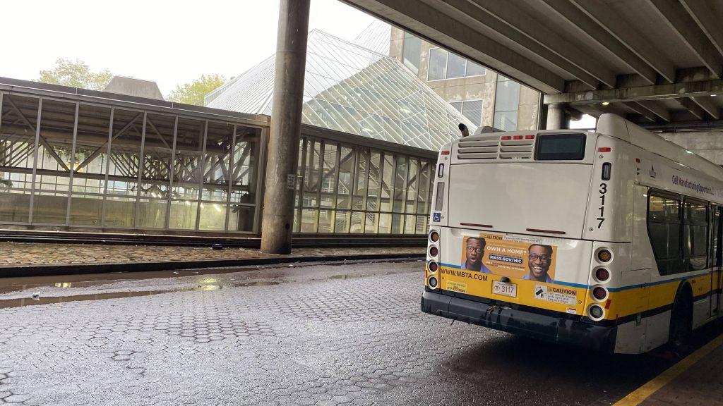
I’m not exactly sure if what I said in the Quincy Adams entry about it being the largest park & ride on the system is true, as Alewife is a pretty good contender for 1st place in that regard. Nevertheless, here’s the northern terminus of the Red Line.
Helvetica!
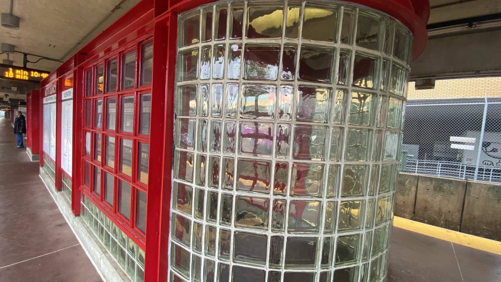
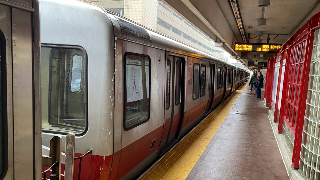
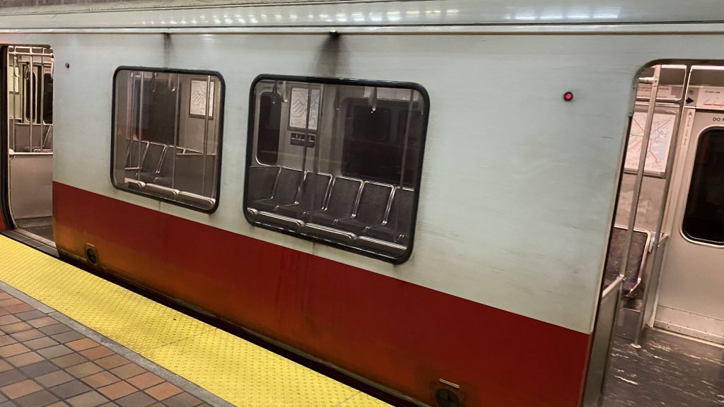
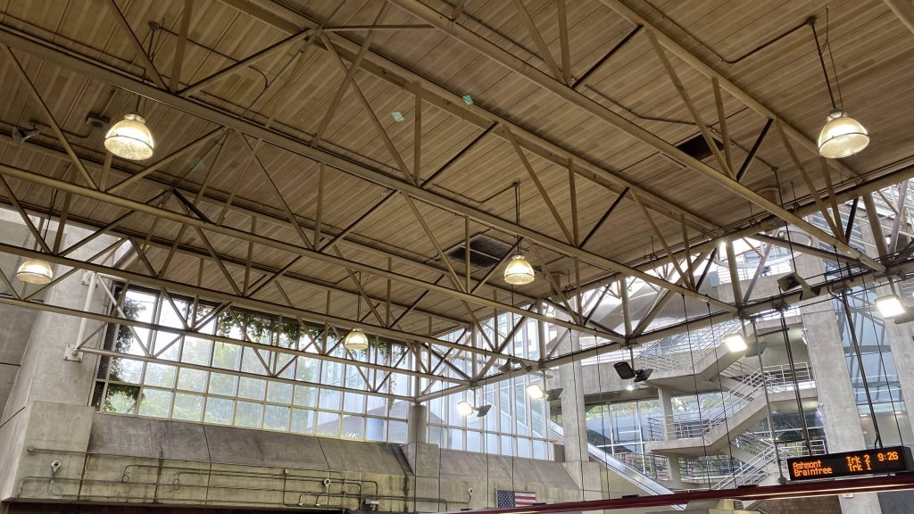
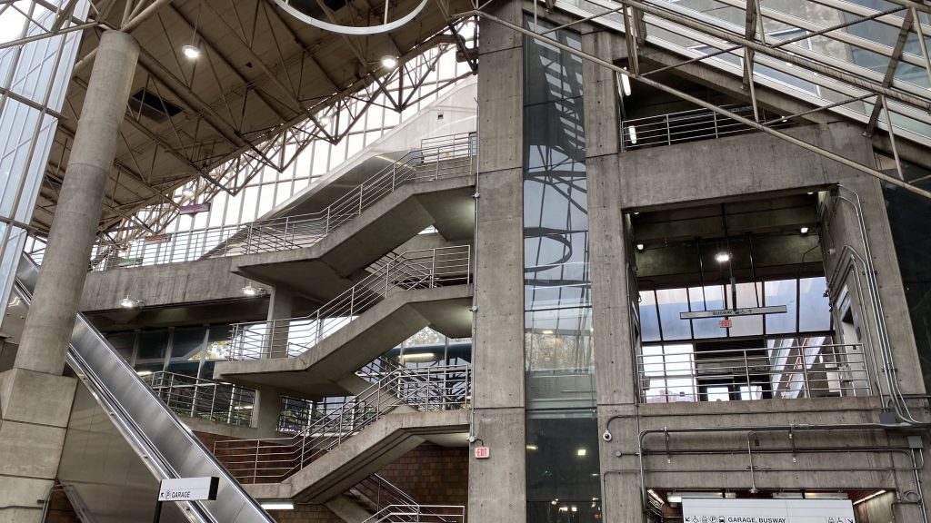
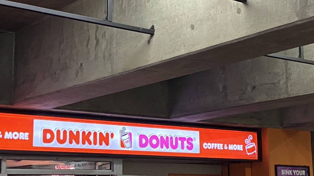
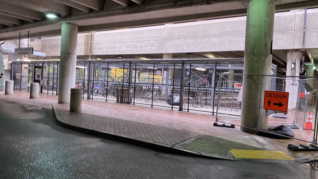
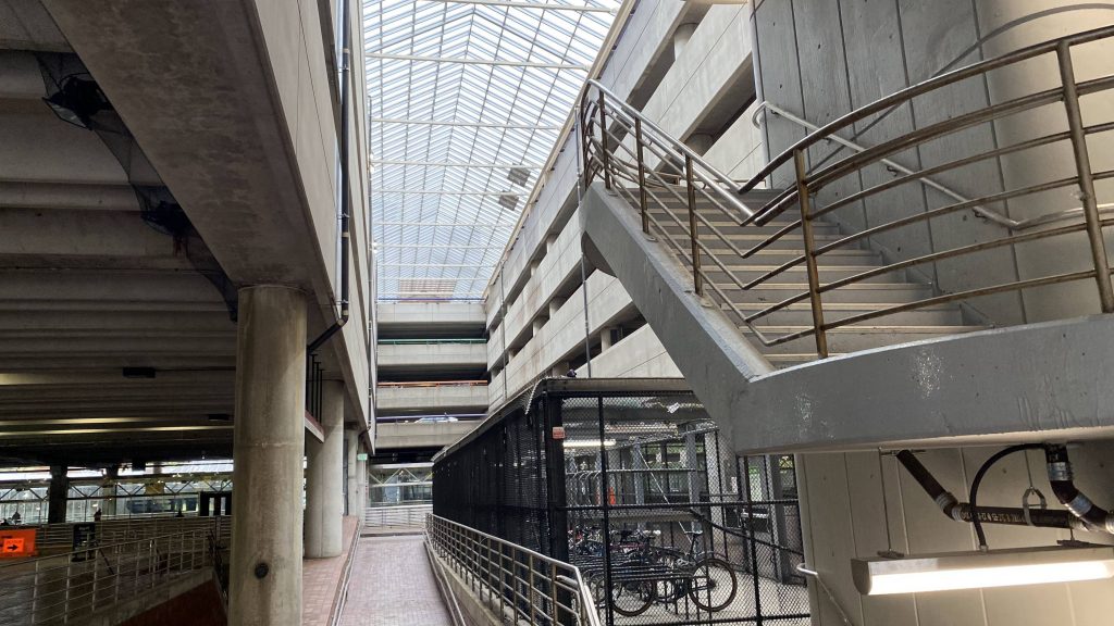
So the platform is, as with the other termini, double-tracked with both tracks being inbound towards Downtown Crossing and Park Street. It might be a little dingy, but it’s not really that bad, plus the station is well-lit. The ceilings are raised, with the mezzanine reminding me a little of Braintree’s and Quincy Adams’. But, that’s because this and the South Shore extension were built at the same time. There’s also plenty of parking in the garage, and a Dunkin’ as well. On top of all this there’s also a Pedal & Park and a busway for all of five routes. Better than Braintree’s 2 in that it’s at least built to size.
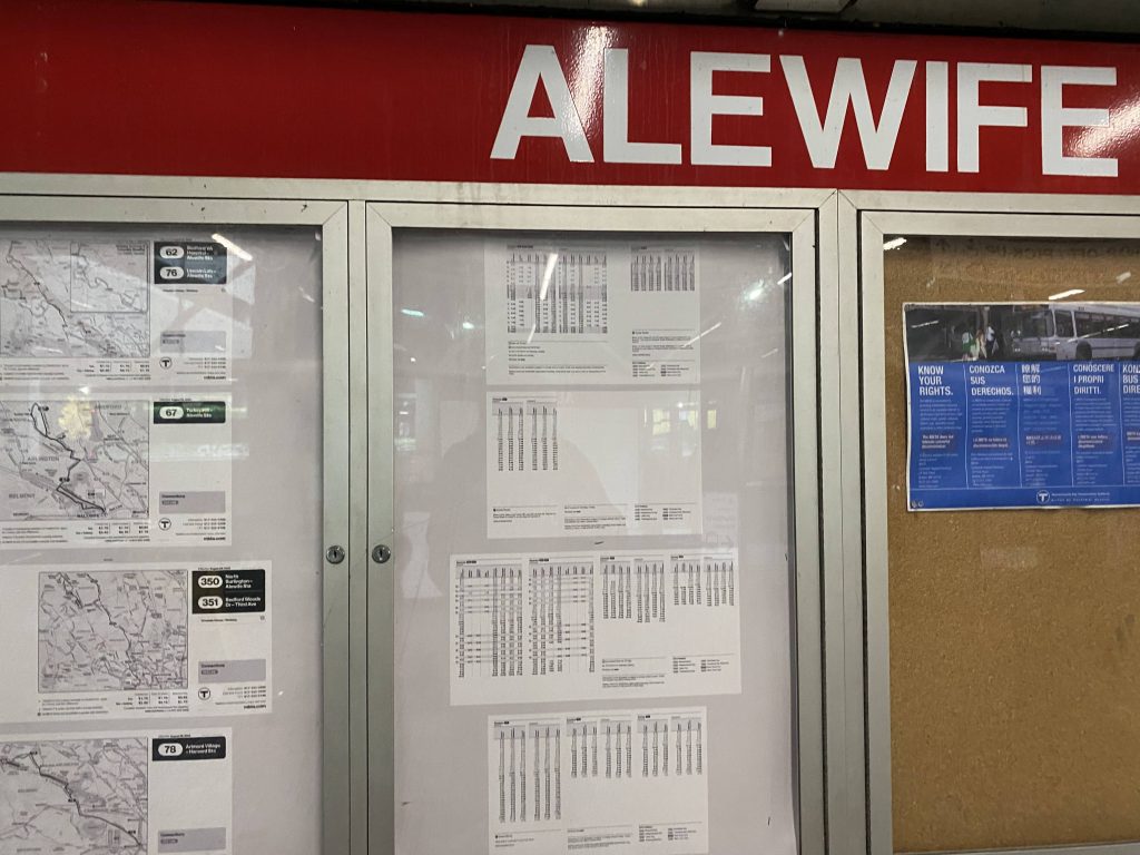
This train looks dated.The ceilingsThe stairs up to the various parking levelsDunkin’!A busBus infoPedal & Park!A bit disorienting, but not as bad as Quincy AdamsThe same dated train, from above this time
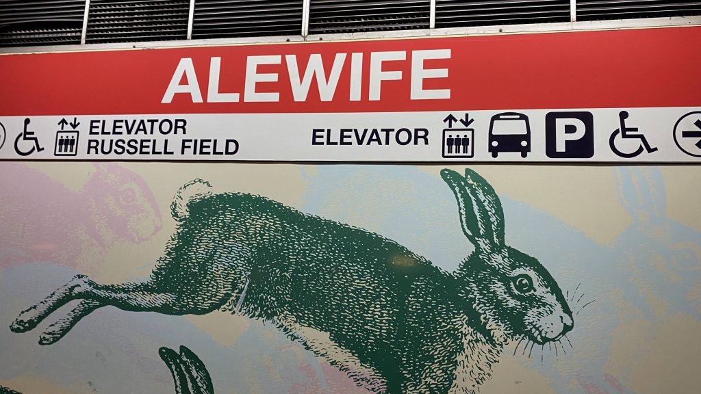
The good: It’s spurred some transit-oriented development! Plus, there’s Russell Field and some parks in the area. Plus, there’s a neat sculpture out by the Cambridgepark Drive entrance. I’m not too familiar with the area though, so nothing stands out at first glance to me. Sorry!
The bad: I mean, the bus service is a bit lackluster from what I can find, but that’s about it for the worst I can think of.
Nearby points of interest: Russell Field is the only standout. There’s also some transit-oriented development.
Transit connections: Red Line (Ashmont, Braintree) MBTA bus (62, 76, 62/76, 67, 350)
Overall, it’s alright as a park & ride. Plus, unlike Quincy Adams, it’s well-built in the area surrounding it as well, so in a sense it’s better.
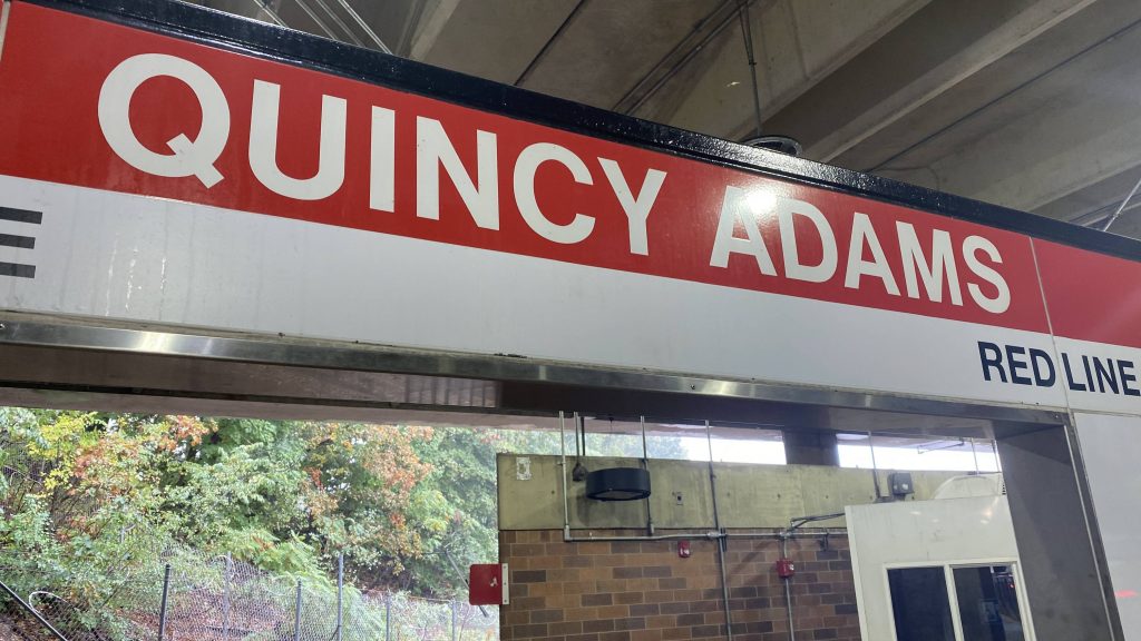
John Quincy Adams was the 6th president of the United States. He was known for a few things, but the most infamous thing he’s known for (to my awareness) was the election of 1824. The election of 1824 was the only time, that I’m aware of, that the Electoral College got sent to the US House and Senate.
Now what the HELL does that have to do with the price of tea in China? Well, I’ll tell you. They named the largest parking garage on the MBTA after him!
Helvetica!
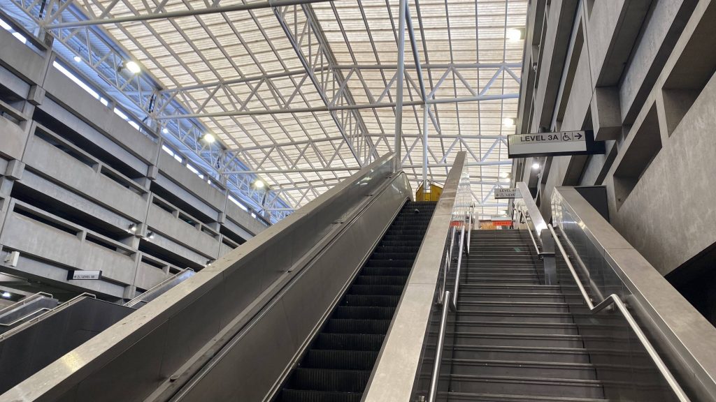
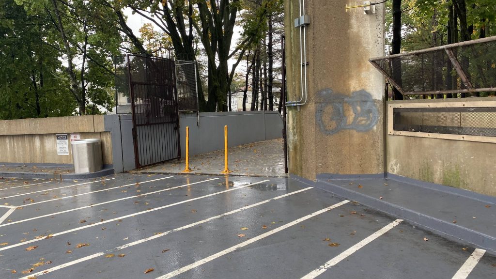
Alrighty, well, it’s a park & ride. You got benches and it’s sheltered with an island platform. The Old Colony and Greenbush Lines run through a single track through here as well, and speaking of which the Greenbush Line splits off just past here. The mezzanine isn’t much to ring home about, you have CharlieCard machines and the elevators. Street access? Go all the way up to the 5th floor and follow the sign to the Independence Ave. entrance. Nice, that there’s local neighborhood access to such a monolithic structure. And no, not much in the way of bus service to here.
BRAINTREERed Line to Braintree!The stairs down to the mezzanine!The mezzanine with a parking machine and an ATMThe lower level of the garage. I think that’s a busway, but I’m unsure.Looking up. This feels kinda disorientingThis is REALLY disorientingA train blowing through. At least it isn’t like Back Bay.The Independence Ave. entrance
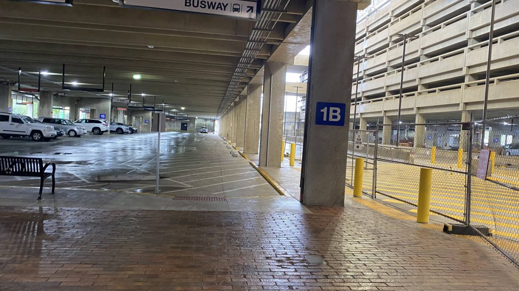
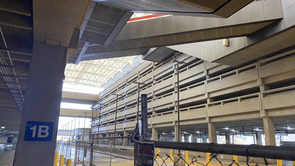
The good: It’s a giant park & ride! I mean, if you drive here, you’ll almost certainly find a parking space and can take the Red Line into Boston. Plus, it’s pretty much fully sheltered due to being inside a parking garage. Essentially, it’s like the subway version of T.F. Green. It also gets a LOT of natural sunlight, but it wasn’t clear on this day as, well, it was raining.
The bad: The area doesn’t seem like the most pedestrian-friendly area. At least, Burgin Parkway isn’t. Even then, this is more of a car-first station than a pedestrian-first station. It also feels a little dingy.
Nearby points of interest: Not much. A few shops, if you’re into that, I guess.
Transit connections: Red Line (Braintree) MBTA bus (230, 238)
Overall, it’s a park and ride. Not much to say about it. It’s also kinda okay for foaming the Old Colony Lines, if you’re tall enough.
Another Fairmount station, oh my. Yeah, I just don’t have much to say here.
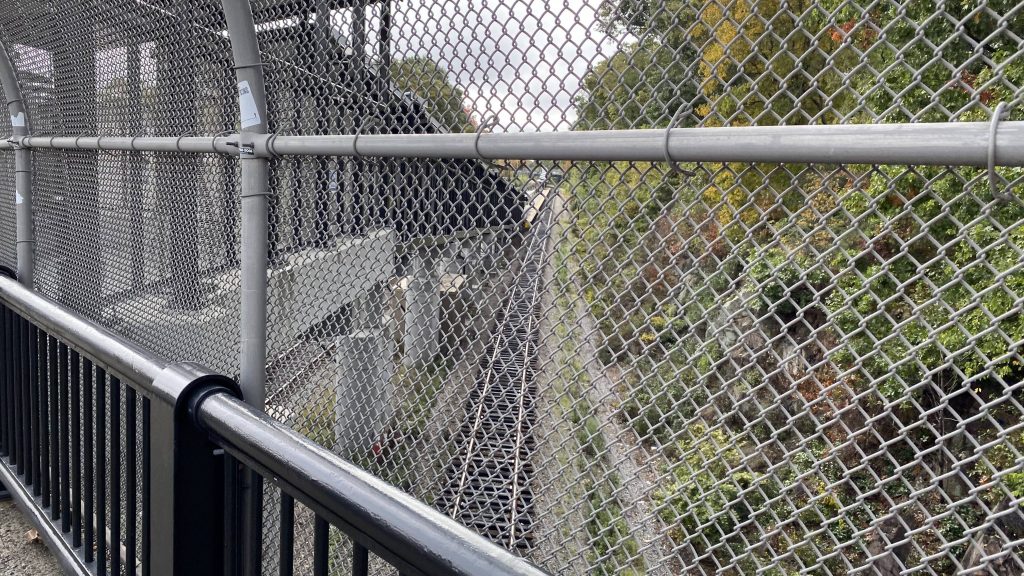
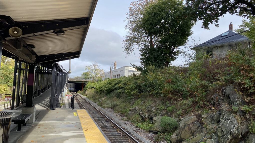
The tracks from the overpass on Blue Hill Ave.
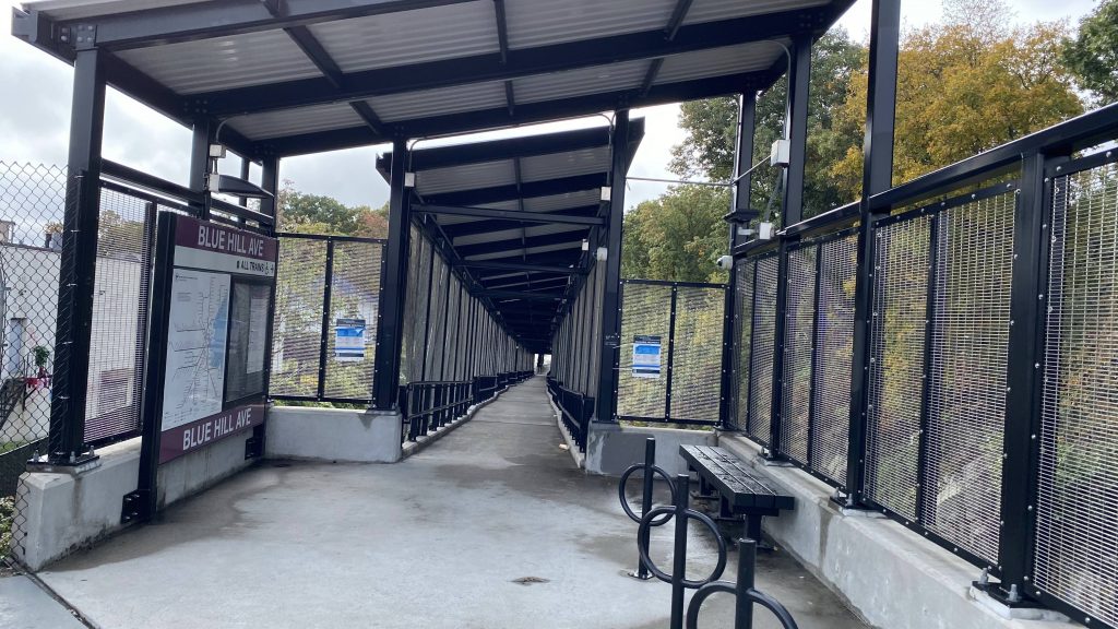
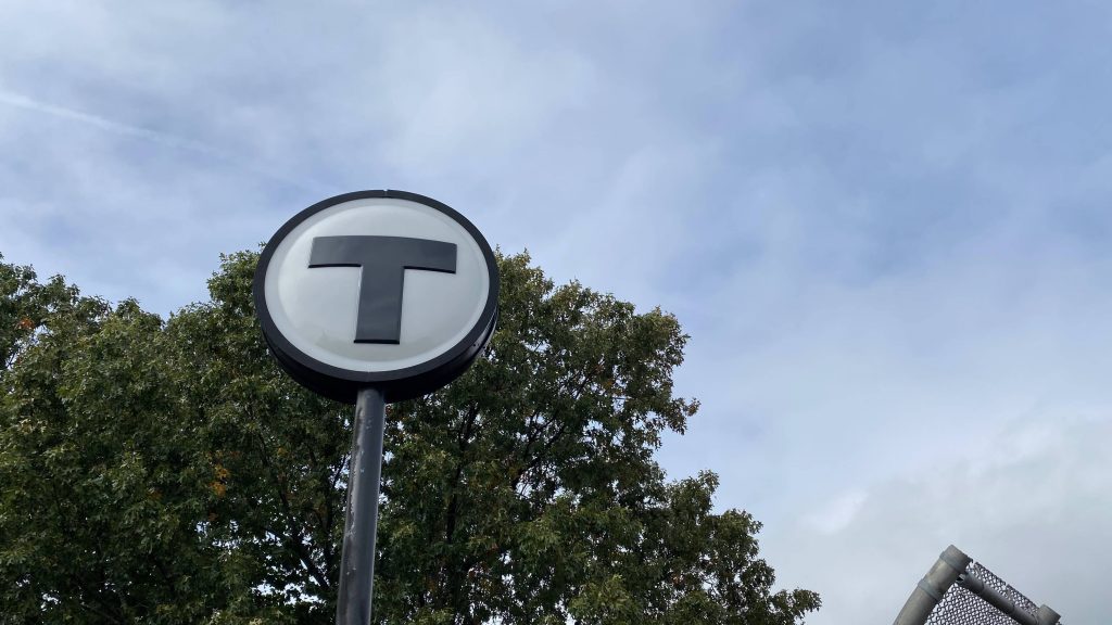
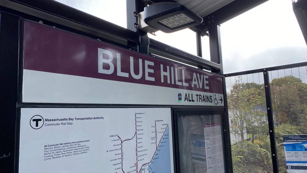
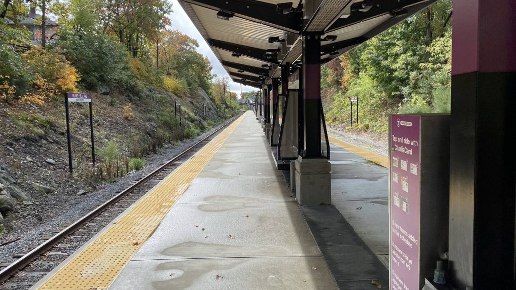
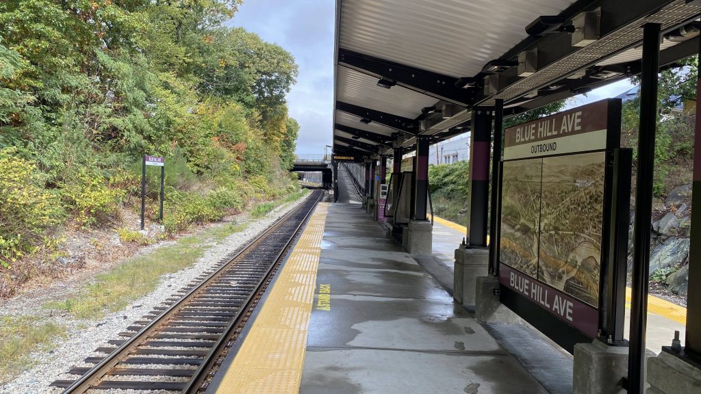
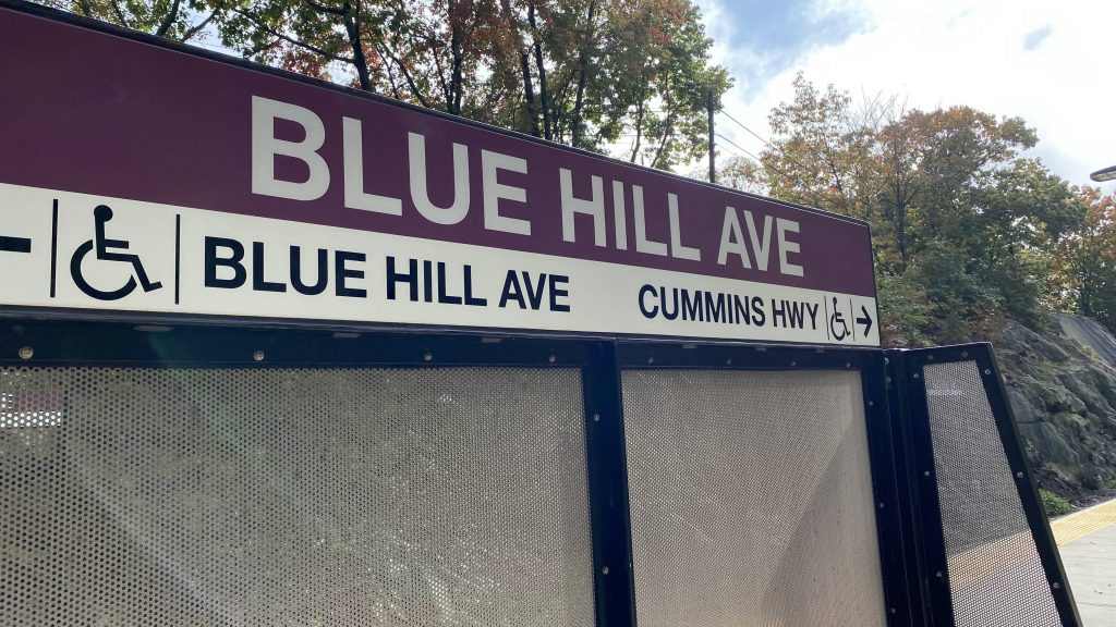
The station can be found on, you guessed it, Blue Hill Avenue in Mattapan. And yes, it’s easily distinguished by the MBTA globe thingy on the street. Heading in is a ramp and, because this is the newest Commuter Rail station on the whole system (that is, as of October 2022), full high level platforms. There’s also a CharlieCard reader, some benches, canopies, wastebins, and electronic signage. There also happened to be people from the MBTA present swapping out the schedule plaques for updated ones that go into effect shortly after me writing this. However, there’s also another entrance from Cummins Highway, which I didn’t take a look at but I have no reason to believe it’s anything special.
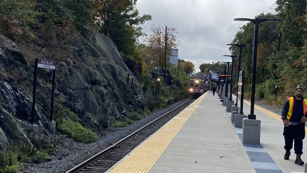
The rampThe MBTA logoStill looks brand spankin’ new!A CharlieCard reader, and looking towards ReadvilleAnd towards downtown and Mattapan Station!And on the other side!Directions! Yes, it’s accessible!Train!
The good: It’s pretty much located in central-ish Mattapan. Also being a zone 1A station, it’s $2.40 to take the train from here to South Station, while similarly-distanced stations (e.g. Hyde Park or Roslindale) would cost $6.50 for a zone 1 fare. It’s also within walking distance of the Mattapan light rail line, being half a mile. The cut-in aesthetic with the rocks is also nice, giving it some character.
The bad: I mean, there’s not much to write home about. Furthermore, the fact you can’t pay for zone 2 fares with a CharlieCard is kinda a bummer here. But I’m not sure how many people actually go from here to Readville.
Nearby points of interest: You have the Mattapan line nearby! There’s also a few shops lining Blue Hill Ave., and a number of churches nearby.
Transit connections: Commuter Rail (Fairmount) MBTA bus (28, 29, 31 at Blue Hill Ave., 30 at Cummins Hwy.)
Overall, it’s a pretty good station. Just, COME ON MBTA, LET US PAY COMMUTER RAIL FARES WITH CHARLIECARDS FOR ZONES OTHER THAN 1A, AND PLEASE INSTALL CHARLIECARD READERS AT THE OTHER ZONE 1A STATIONS!
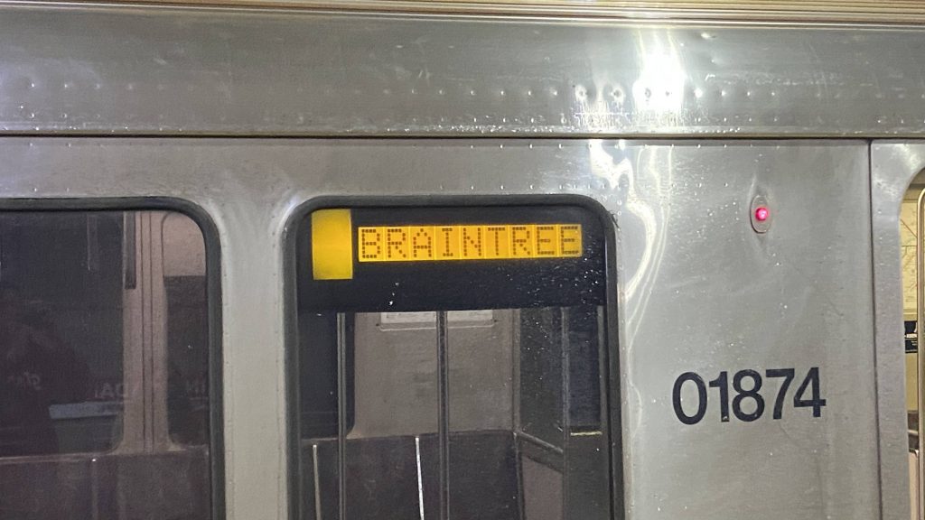
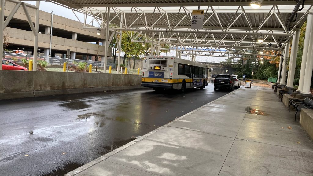
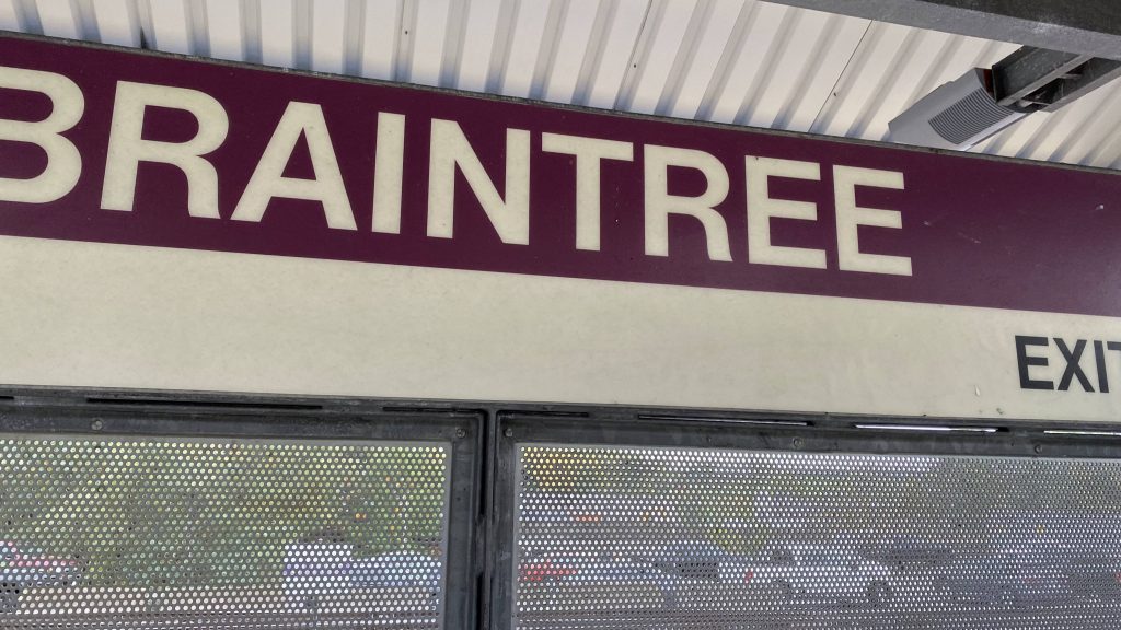
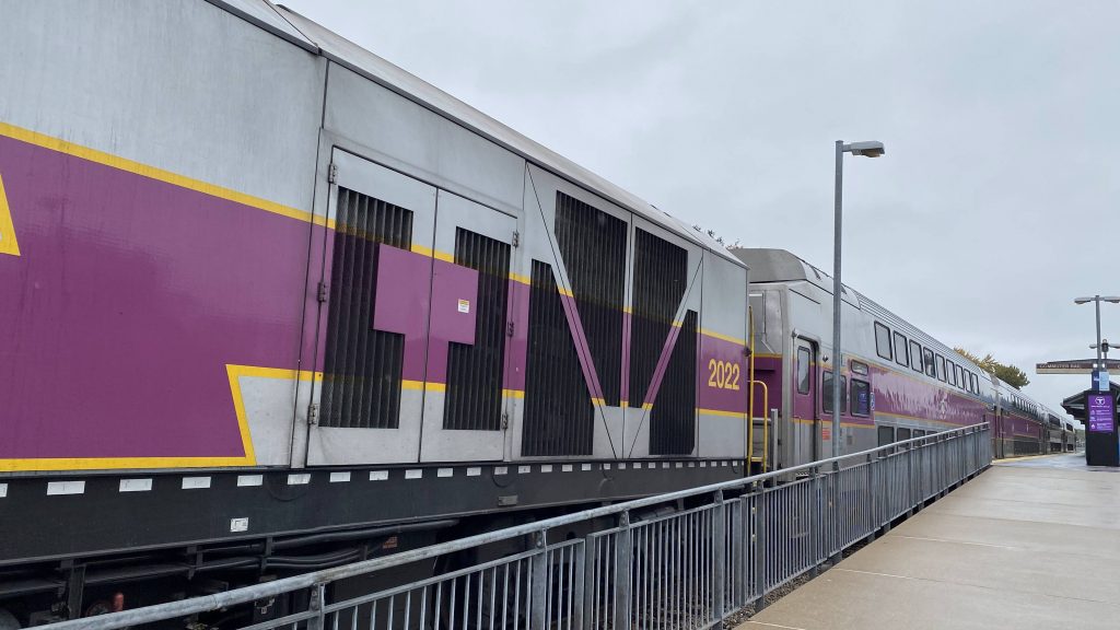
Alrighty, so we’re now on the far side of the MBTA subway system! Well, welcome to the suburban hellscape known as Braintree, I guess.
See ya!
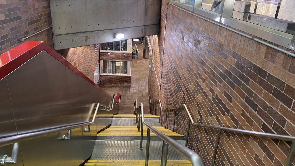
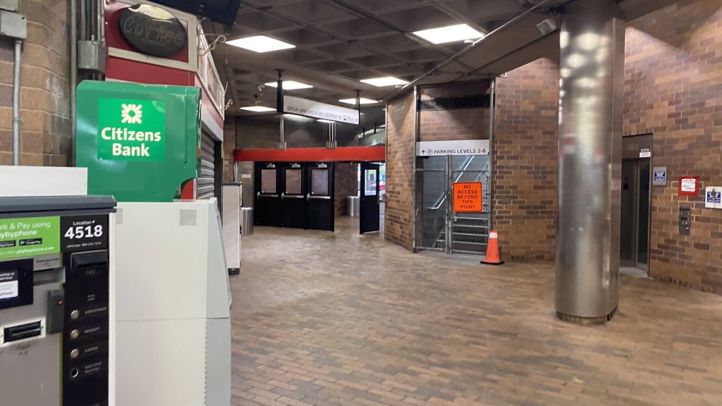
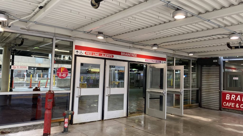
Chronologically, my friend and I came here after Quincy Adams (which was after North Quincy, Charles/MGH, and Alewife). After getting off the bus (which the operator almost forgot about us hitting “stop request”), we were in the Braintree busway. The mezzanine is standard in design, not much to complain about. The busway seems a little overkill in size, but comes in handy. There’s also a bridge linking the mezzanine areas with the parking garage. The station is also directly connected to MA-3. Neat.
The mezzanineThe parking garage
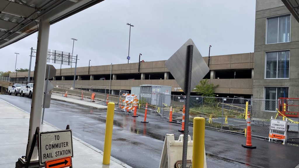
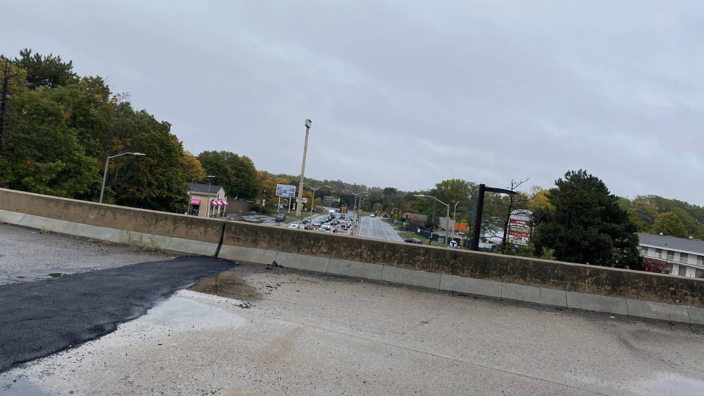
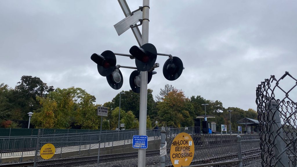
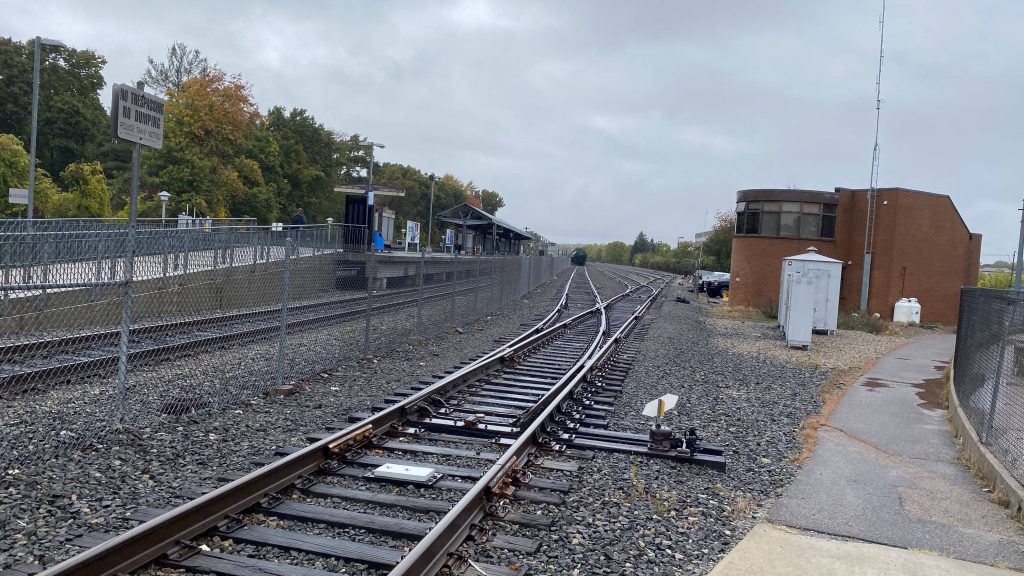
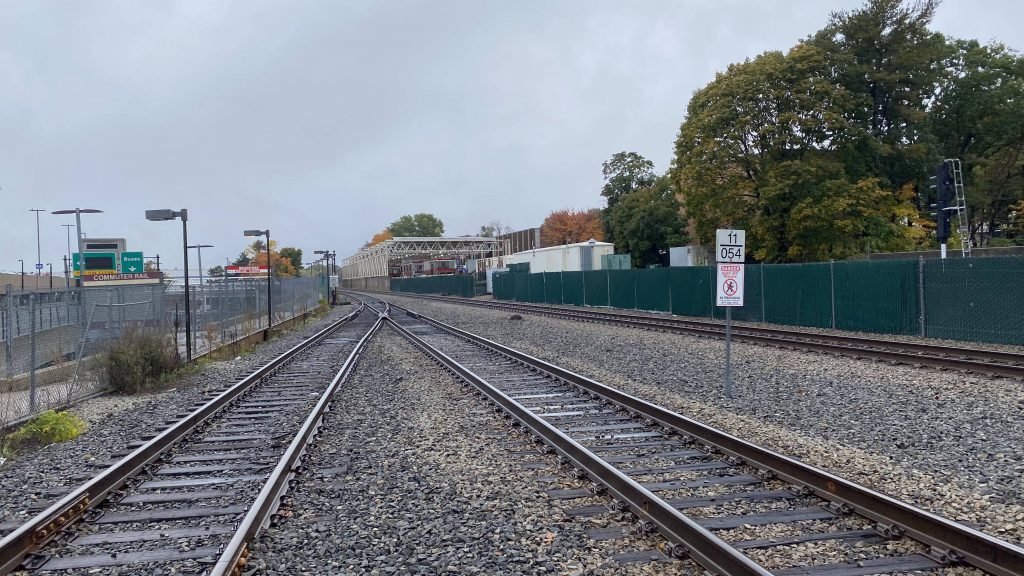
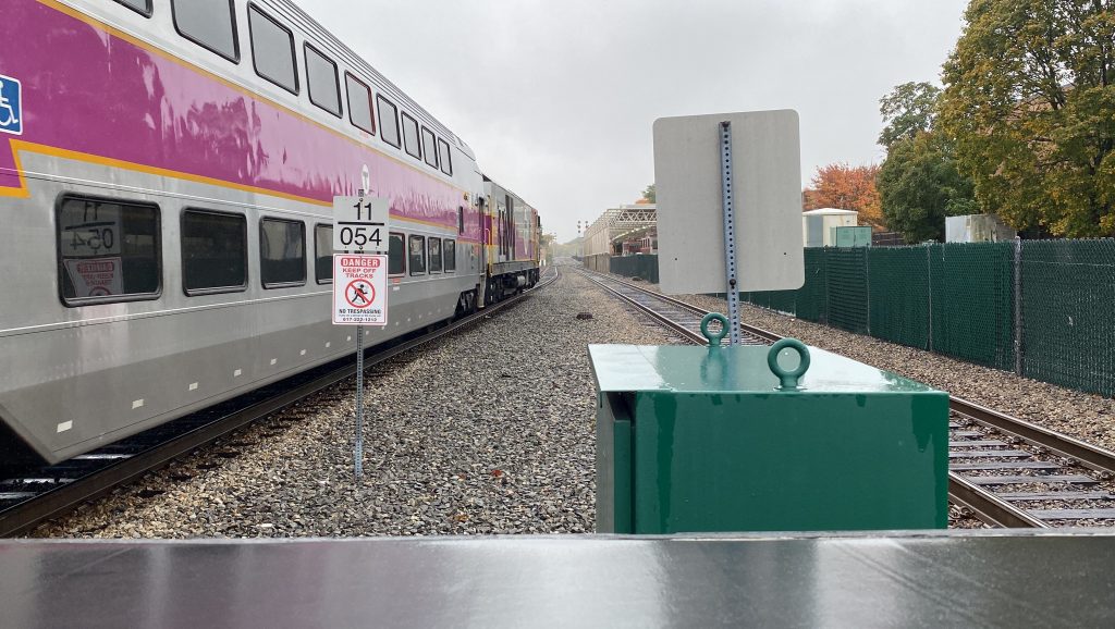
The area was under construction, but moving on to the Commuter Rail platform, it seems normal enough with the island platform and a shelter. Wait, what?
Union StreetOh no.
WHY IS THERE A GRADE CROSSING HERE?! WHY?! JUST, WHAT KIND OF CRACK WERE THEY SNORTING ON IN THE ’90S WHEN THEY BUILT THIS SECTION OF THE STATION?! I- I don’t even KNOW why they couldn’t just build a tunnel and a set of stairs+an elevator to the island platform. But hey, if you like hearing DINGDINGDINGDINGDING when a Boston-bound train is coming through, you’ll LOVE this station. Holy FUCK! This also happens to be where the two Old Colony lines split.
Looking towards BostonAnd towards Middleborough and Kingston!Helvetica bold!An HSP and a shift change!“DINGDINGDINGDINGDING” – the grade crossing
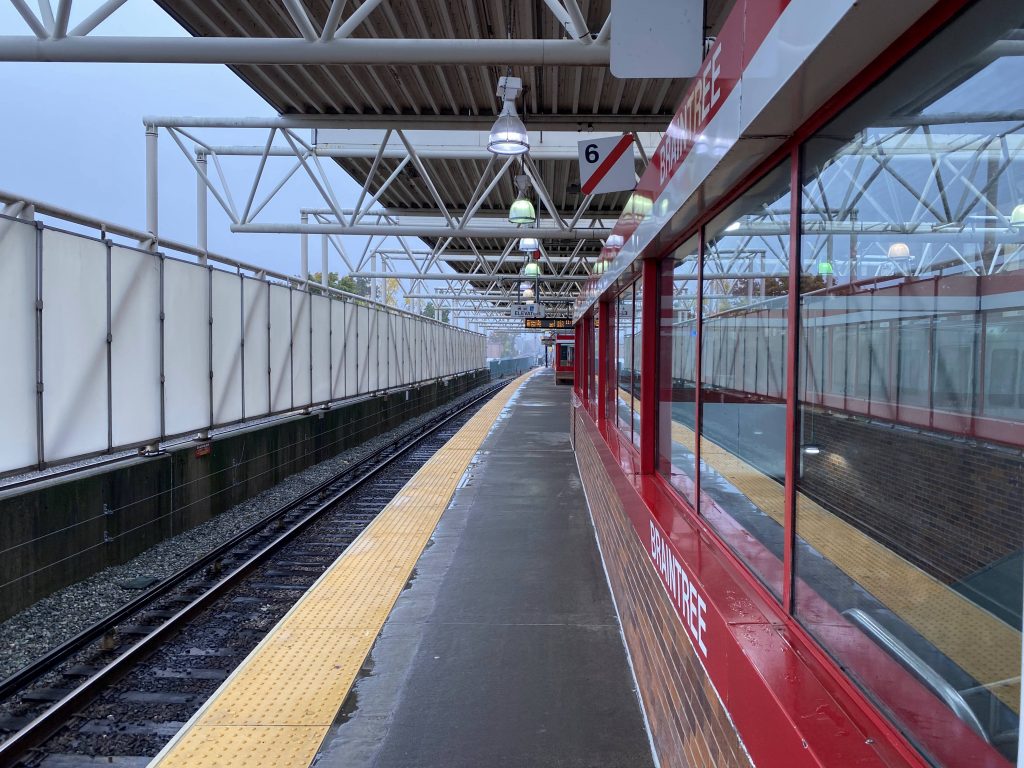
Now, the Red Line. It’s fully sheltered, while still outdoorsy. It’s not bad, and the countdown clocks will tell you what track the next train departs, with this being a terminal (and thus both tracks are inbound).
The Red Line platform
The good: It’s a decent-sized park & ride, with options for people heading into Boston & the surrounding suburbs, and those heading out to the Cape, as well as towards Middleborough and Kingston. Plus, you have plenty of parking and a few bus routes.
The bad: THAT. DAMN. GRADE. CROSSING. Also, the seemingly overkill busway. and the relative lack of a more accessible way to access the Commuter Rail platform.
Nearby points of interest: I mean, you’ve got some businesses, but nothing stands out immediately around the area. The South Shore Plaza is a little ways away, but isn’t accessible by any bus routes unfortunately. Furthermore, it’s not exactly a walkable area.
Transit connections: CapeFlyer Commuter Rail (Fall River, New Bedford, Kingston) Red Line (Braintree) MBTA bus (226, 230, 236)
Overall, it’s an alright station, but the grade crossing is kinda sketchy.
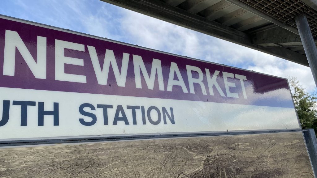
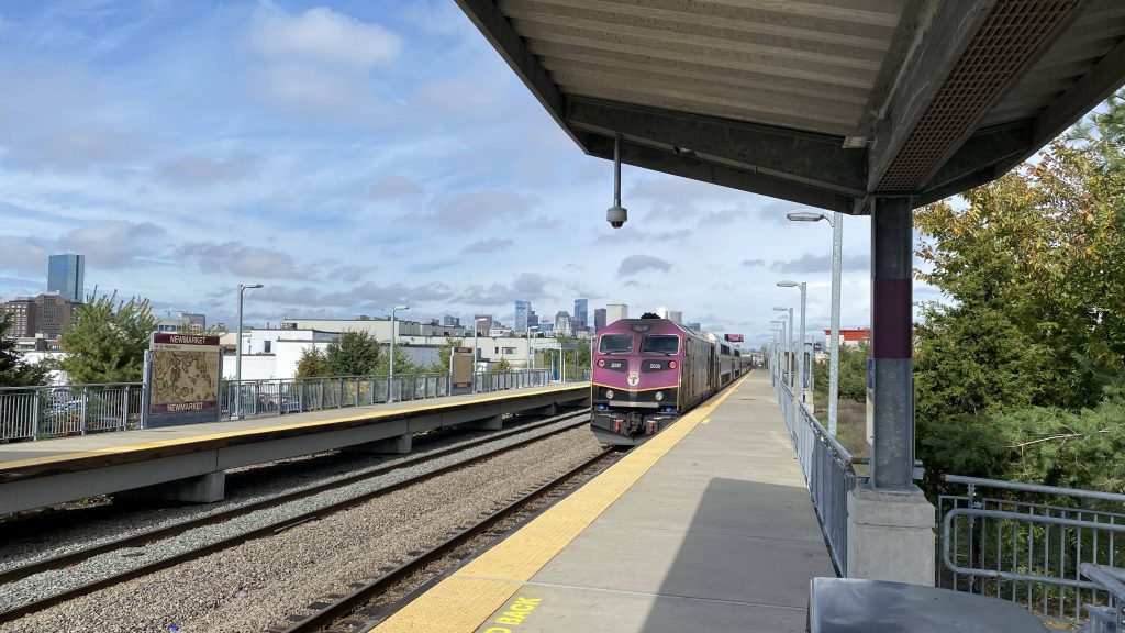
Alrighty, another Commuter Rail station, and we’re on the Fairmount Line today! Well, let’s look at Newmarket.
Helvetica!
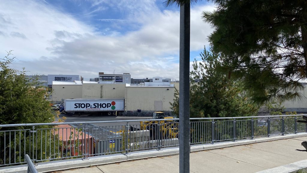
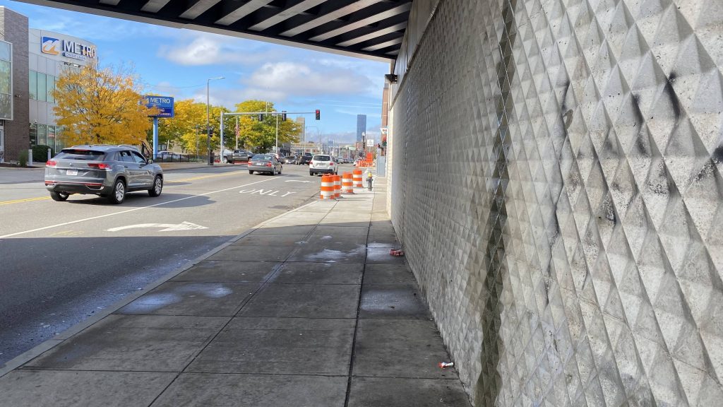
Alrighty. Newmarket is located in an industrial area, however it’s not so much industrial as it’s revitalized with a major shopping center. See, the South Bay Center. But, I’m not here to talk about the neighborhood. The station itself is pretty standard, with benches, a fairly long platform, and wastebins. There’s also a CharlieCard validator as well. Now, since there’s no crossover via bridges, how do you change sides? Well, that’s easy. You take the ramp and use the underpass.
The South Bay Center!The crossover
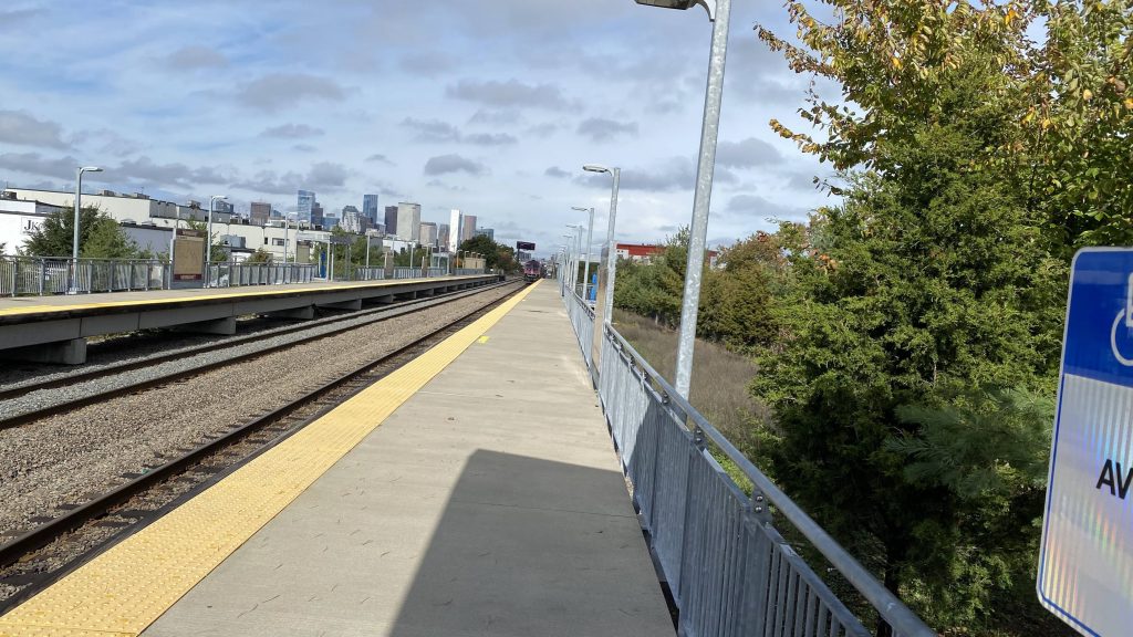
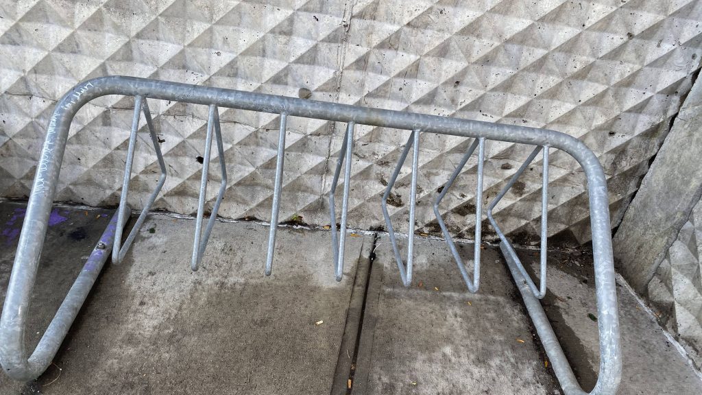
Fortunately, changing sides isn’t as sketchy as in Milford. Plus, you also have a few local bus connections and some bike racks. Furthermore, downtown Boston makes a cool backdrop for foamer pictures, so there’s that too.
Towards downtown Boston!Bike rack!They just updated the schedule earlier this day
The good: It’s located pretty much at the South Bay Center! I mean, it’s decently located for a shopping trip, or if you work or live in Newmarket Square.
The bad: Unfortunately, it’s not pedestrian friendly. I’ll also add that this is also the least-used Fairmount station. Furthermore, there’s just nothing that stands out about the station in particular, and there’s a lack of long-ish term parking in the area. I mean, you could walk from the South Bay Center, but at that point just take the bus.
Nearby points of interest: The South Bay Center! Yeah, not much in the area stands out here either.
Overall, as a station, it gets the job done. But, like, there’s just not much to say about it. Sure, the South Bay Center is close, but that’s not enough for a 10/10 station in the city. It does provide for some nice foamer shots though.
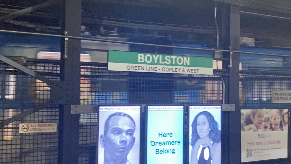
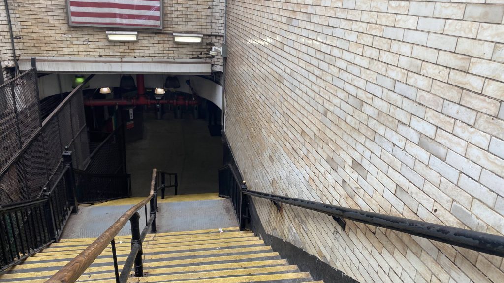
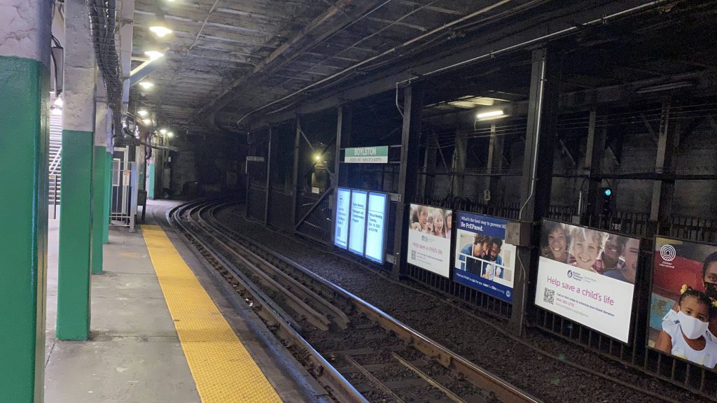
Ah, Boylston. Welcome to the first of the two-oldest subway stations in the entire United States. Well, ho- OH GOD THE NOISE!!!
Yep. Boylston.
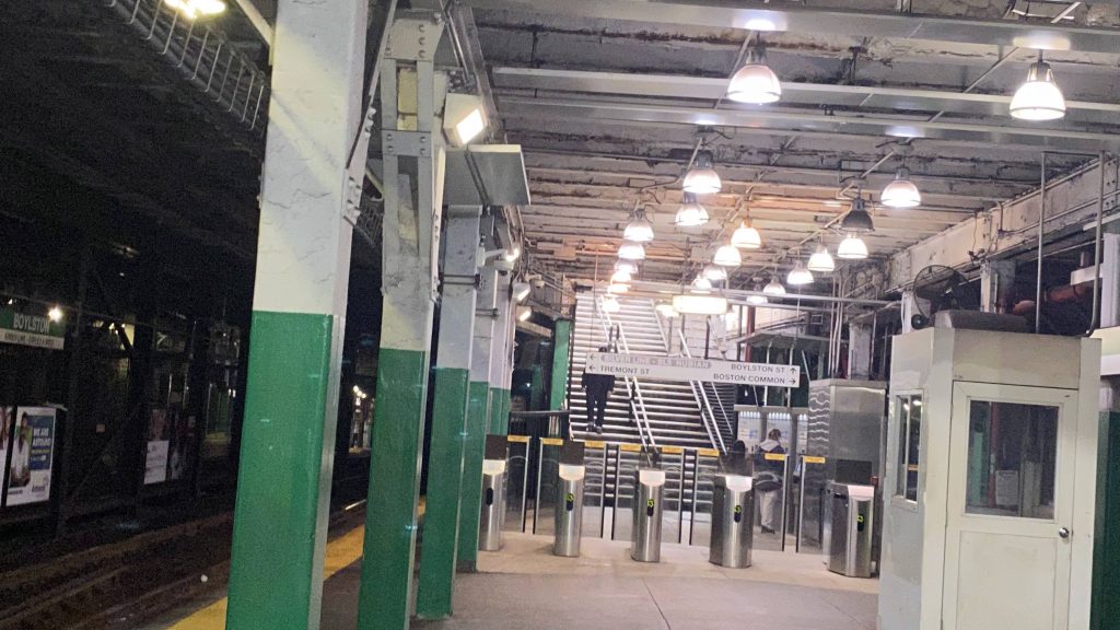
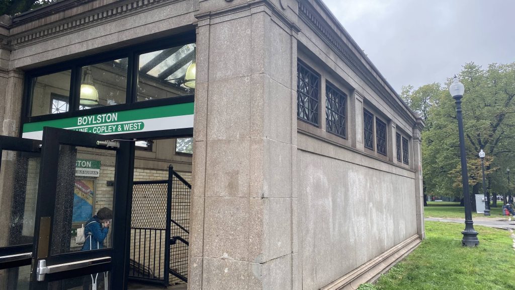
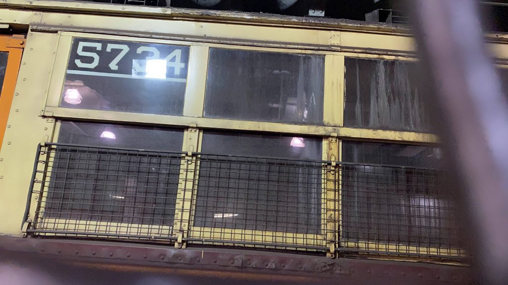
So, getting off the train, first off there’s no mezzanine area. Plus, the waiting area is a bit small to start with. I’ll also add it looks kinda dingy. But, the headhouses? It’s a time capsule, as it’s been present since the end of the 19th century. That’s the late 1800s!!! However, as nice as the station seems on paper, it’s very dingy and it’s lacking GREATLY in accessibility. Yikes. Oh yeah, the inbound side has a PCC hidden behind a fence.
Fare control!The time capsule of a headhouseThe other sideThe PCCOh god.
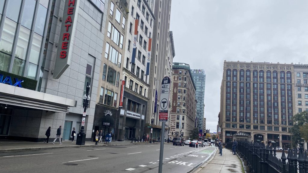
Oh yeah, the station is also served by the SL5. It’s nothing special though, just a bus sign. Kinda shitty, if you ask me, actually.
Not for the SL5, but same idea.
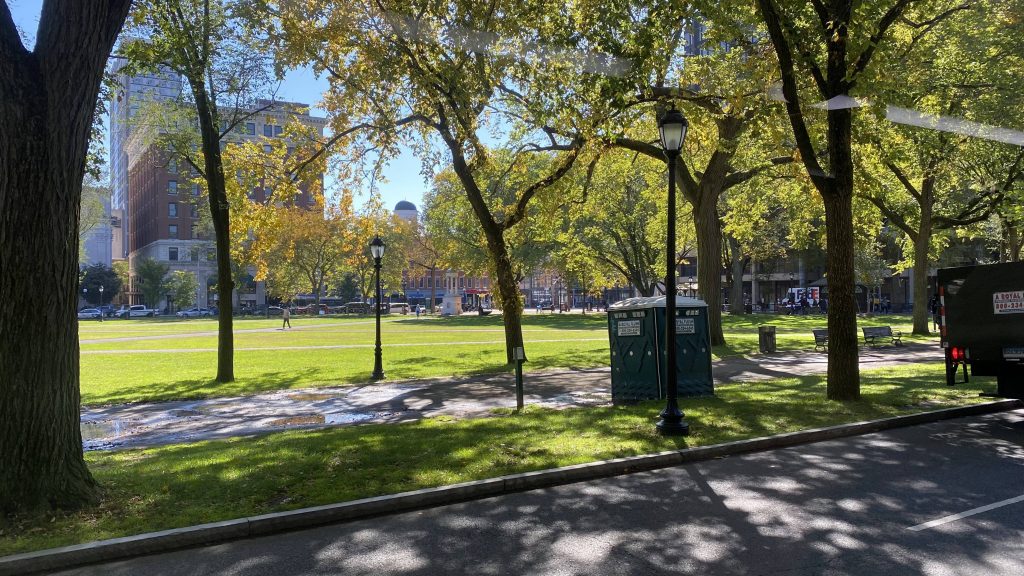
The good: Well, it’s located in the Boston Common in downtown Boston. It’s also pretty significant historically so there’s that.
The bad: Screw you and your ADA needs! Seriously, this place has no elevator! Also, the screeching of the Green Line trains is deafening! In fact, I think I might have tinnitus and a headache now as a result. Speaking of the screeching, it’s so loud you can even hear it from OUTSIDE THE STATION. That’s a MAJOR code red.
Nearby points of interest: Boston Common is the big one! Hell, the station itself can be considered one for its historical significance.
Transit connections: Green Line (B, C, D, E) Silver Line (SL5) MBTA bus (43)
Overall, just pass on this station unless absolutely necessary. Yes, it’s nice historically, but it’s dingy and deafening. Don’t go here unless you’re already deaf.
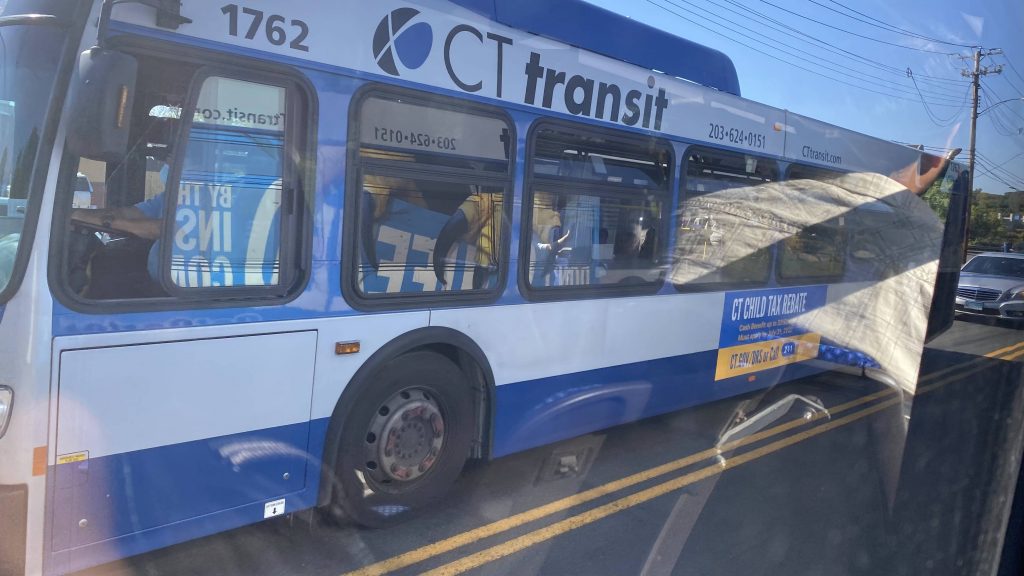
Alrighty, the 261! This one was a bit tricky given the bus was PACKED. But, here we go!
Onwards!
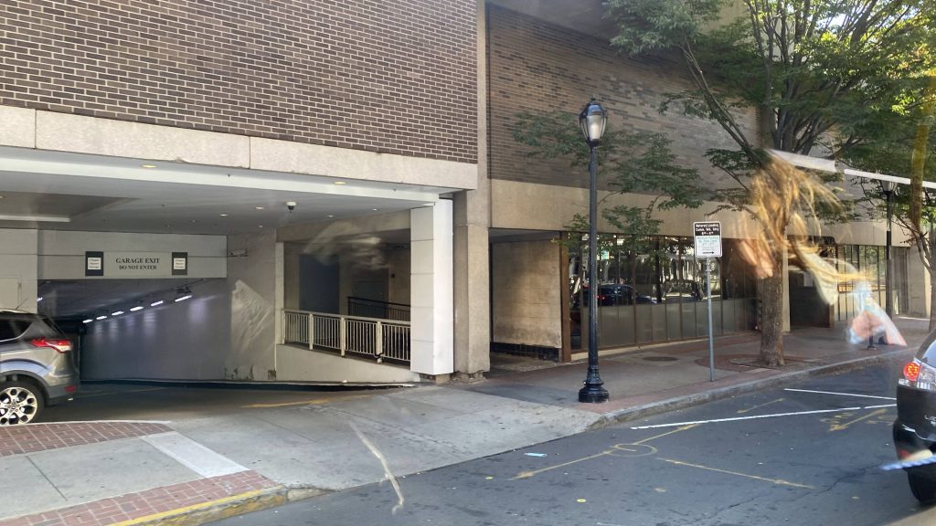
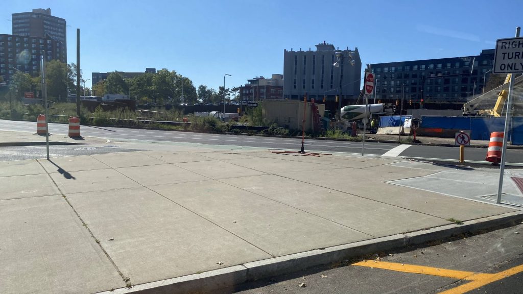
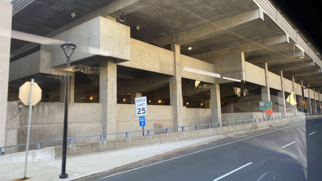
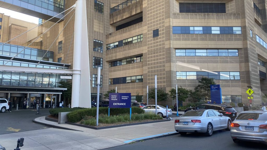
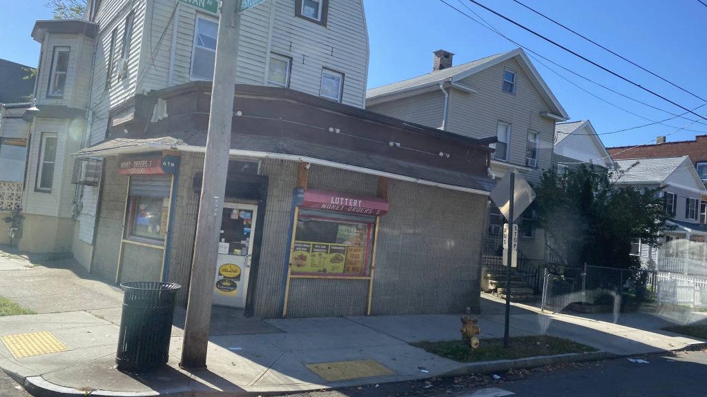
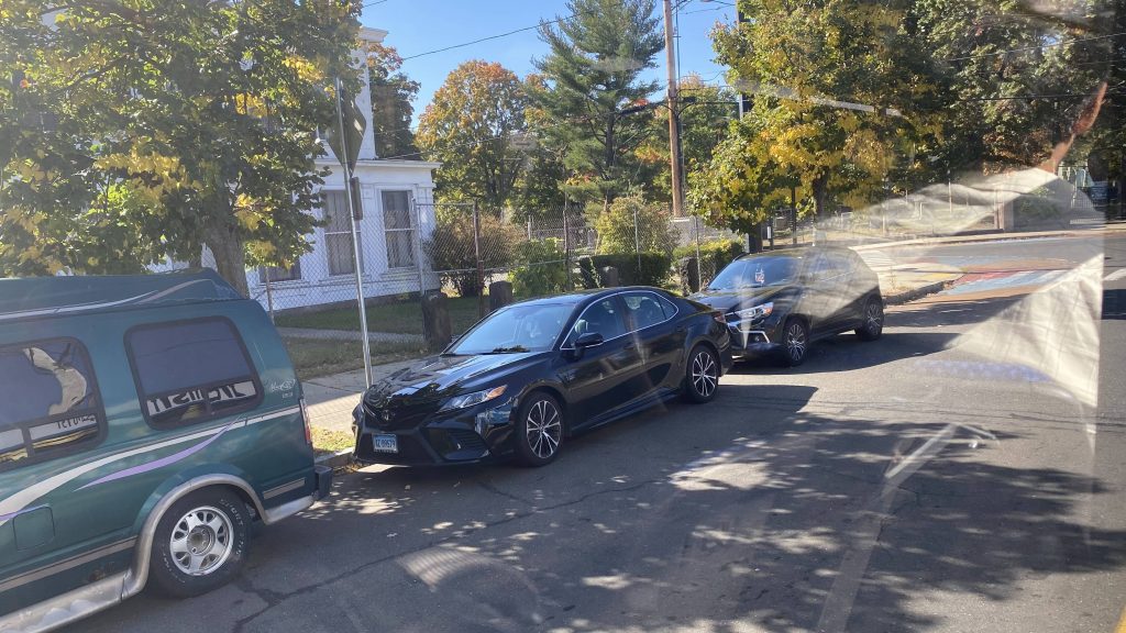
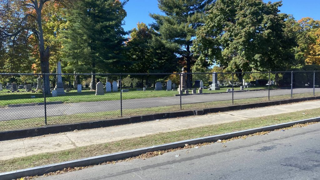
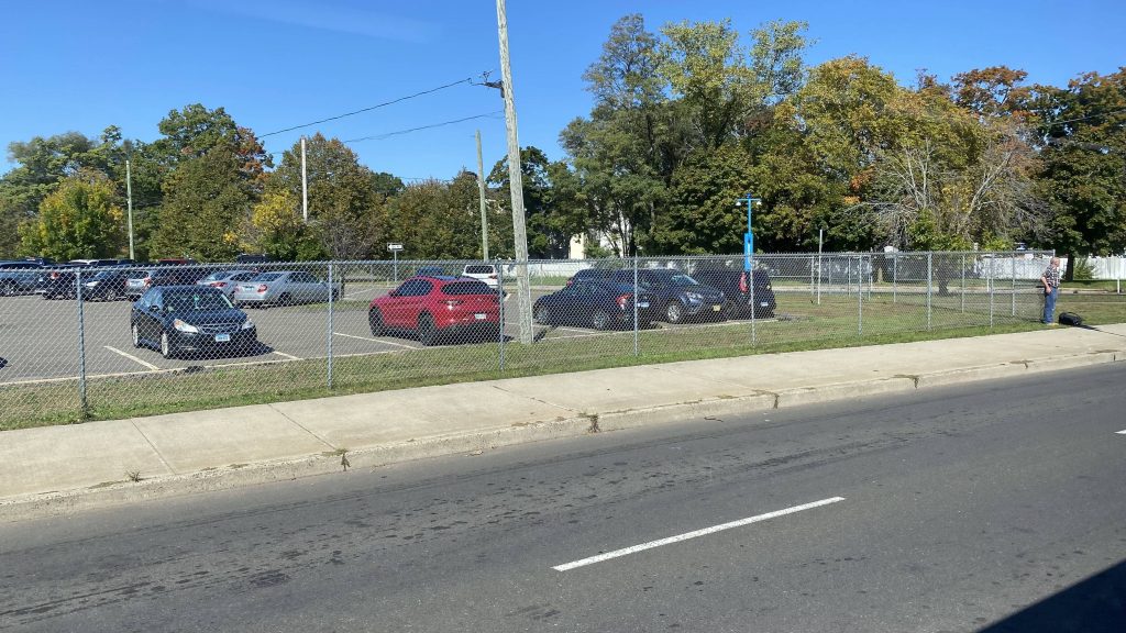
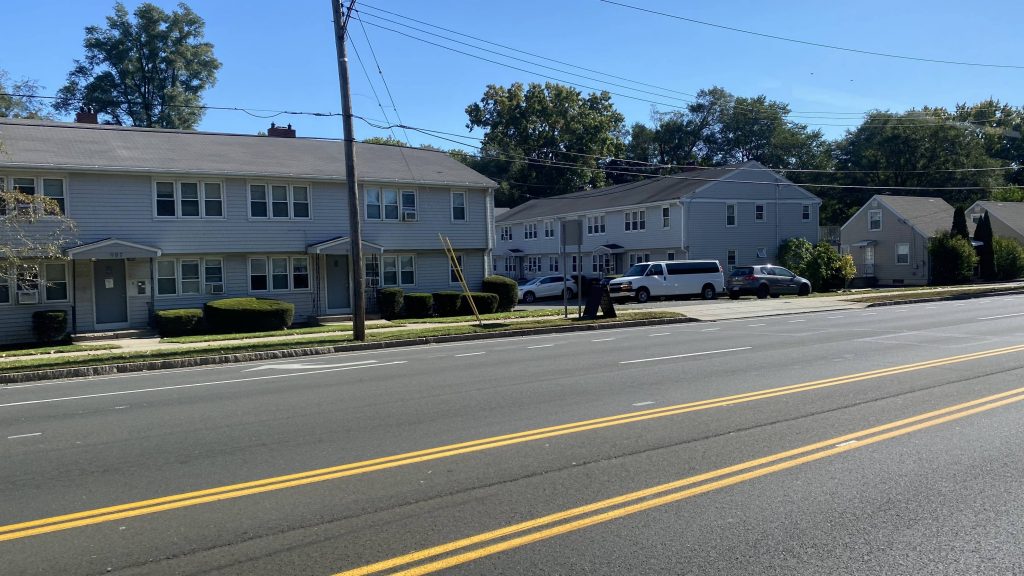
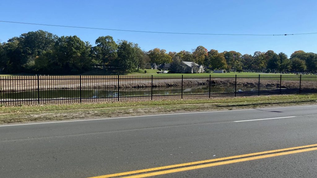
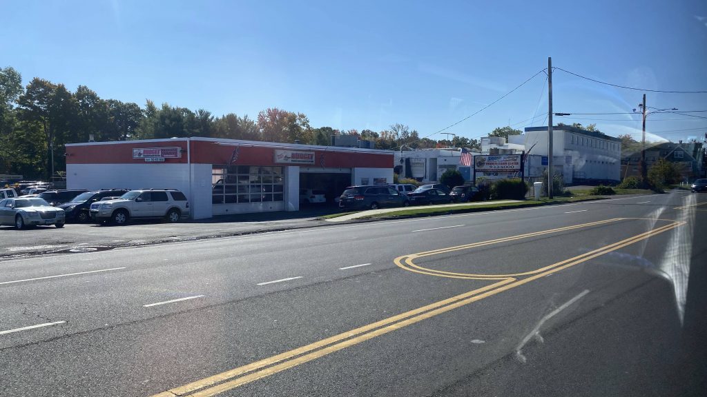
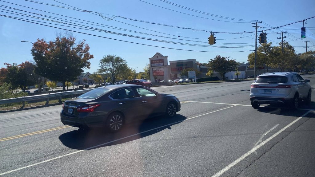
So, once we finally got moving, we moved down Temple St, MLK Jr. Blvd., and then a left onto York Street. Passing by Yale-New Haven Hospital, the bus got even more full, and we pressed on. Of course, we were inching up Howard Ave. towards Sylvian Ave., but eventually we made it. As several stops, there were a trade of people where some got off and others got on, which persisted until we got out of New Haven. Naturally, the area was residential, and we took a few turns to Winthrop Avenue, down a one-way frontage road that’s for a nonexistent freeway, and down Governor Ella Grasso Blvd. This area was largely all park and cemetery, until we got to Route 1. Then we were in stroad hell.
Parking garagesConstructionWhat an abominationThe hospital!A corner storeParkingMind the dead!More parkingHousing on the other side of Grasso Blvd.The same cemetery from earlier, from behindStroad HELLThere were DOTS on the other side of this bus. DOTS!
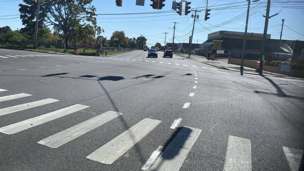
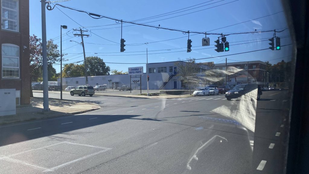
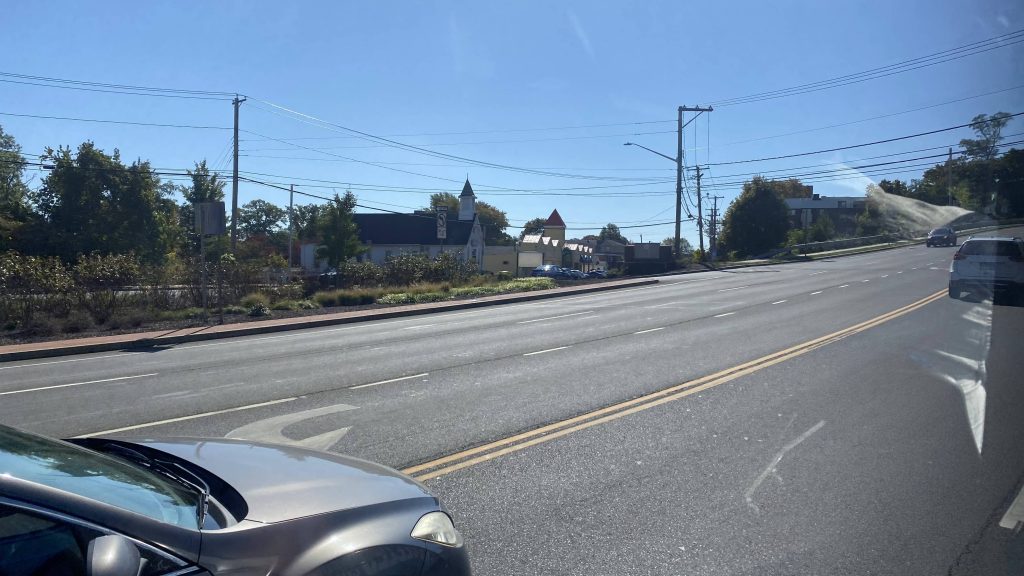
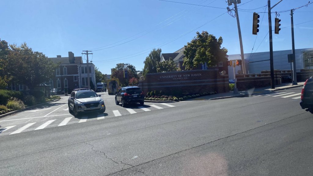
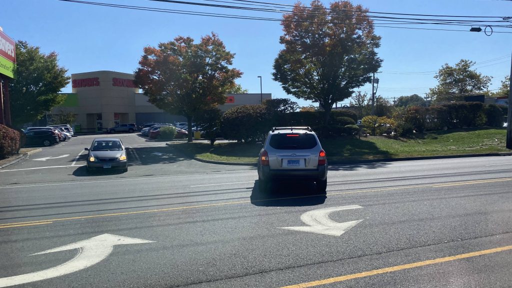
So now that we were on Route 1, it was much of the same to the end, where it’s probably not worth even going into detail about. Businesses on either side generally, oversized road, a devi- wait WHAT?!
the usual stuffUniversity of New Haven!There it is!More of the same
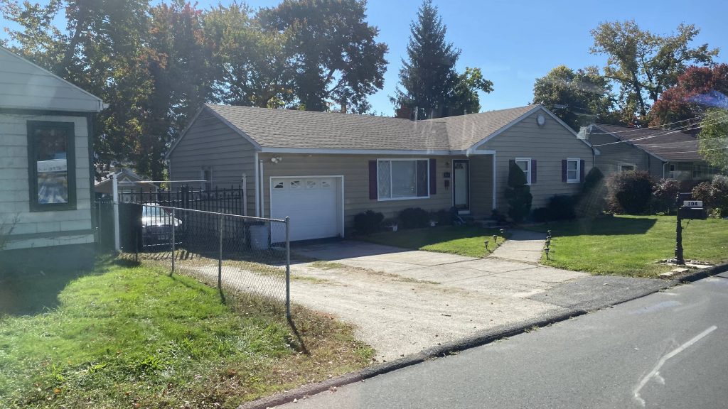
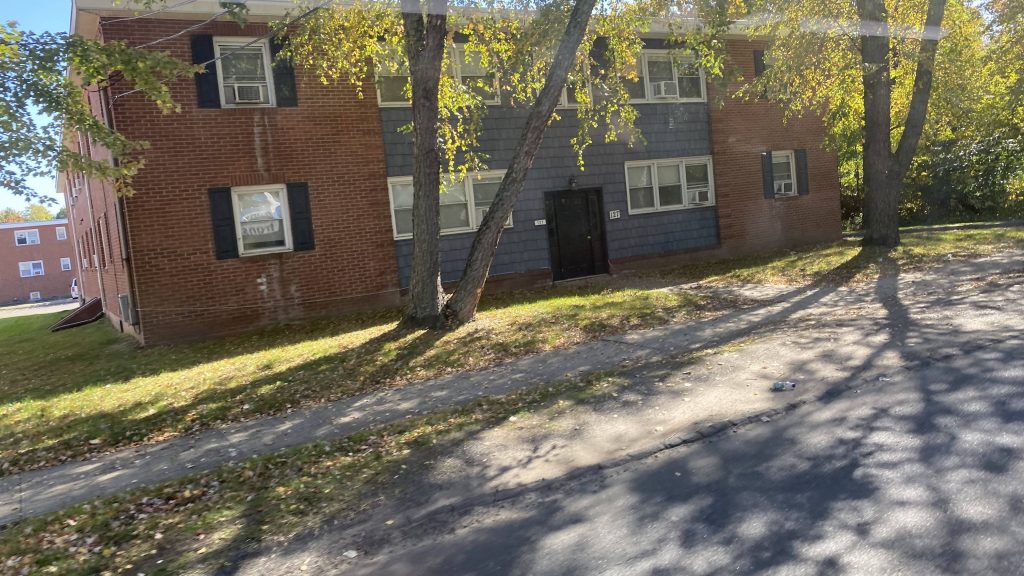
We deviated INTO A RESIDENTIAL NEIGHBORHOOD. But, there’s a good reason. This was to serve what I suspect is probably a section 8 complex. It’s the only conceivable reason for this deviation, and hey it gets a decent amount of ridership so I’ll let it slide.
Residential deviationAn apartment complex!Back to the usual
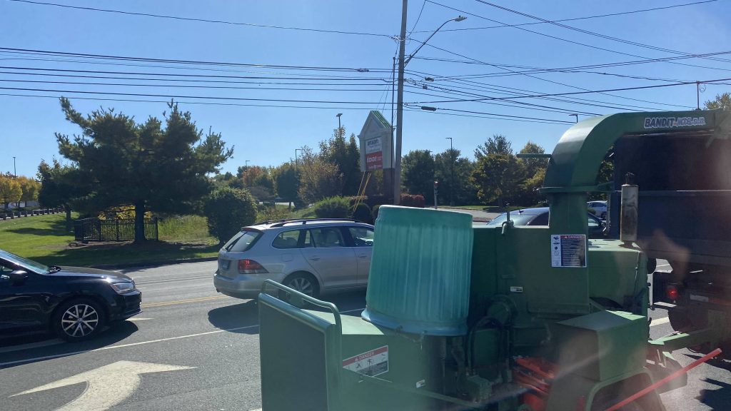
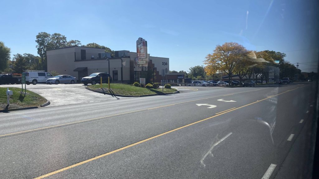
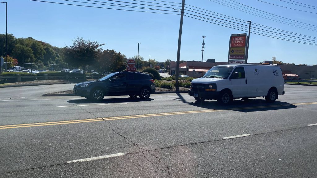
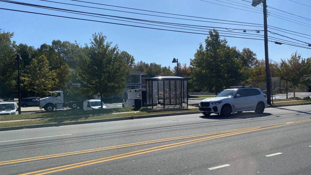
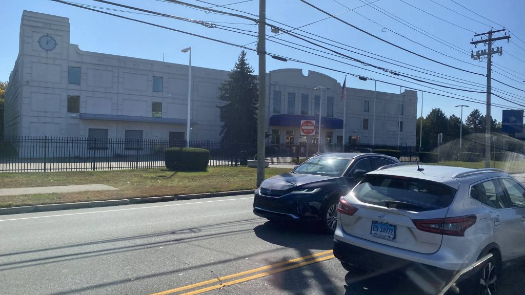
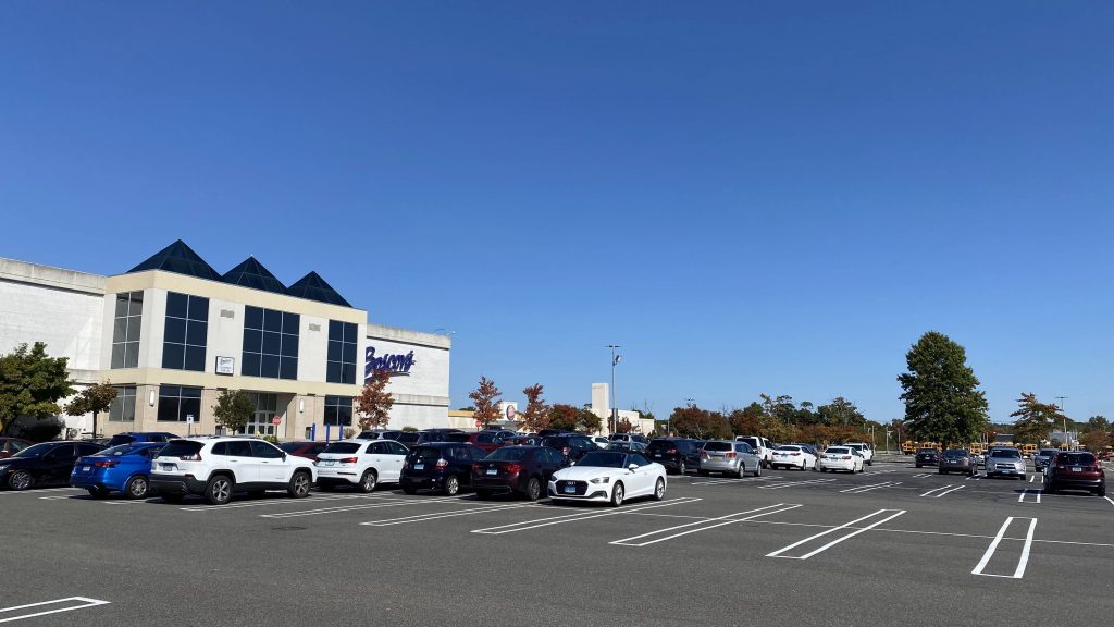
So, back to the usual. We go down US-1, stroad, stores on either side, yadda yadda yadda, copy-paste. Eventually, we make it to the Post Mall and it’s the end of the route.
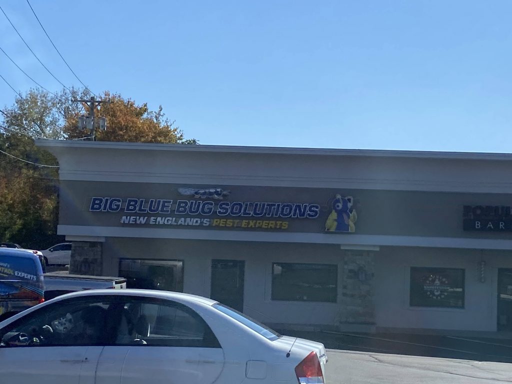
Same old, same oldNIBBLES WOODAWAY?!a bus shelterAlmost thereFINALLY!
The good: Well, it deviates into an apartment complex! It also links downtown New Haven with a bunch of shopping along a stroad, as well as malls. Oh yeah, there’s also a rush hour express variant which runs 2x daily each direction (weekdays only), which is nice.
The bad: This ain’t the fault of the 261, but it feels LONG, given the fact it’s just overly wide stroads once you get on Route 1. It also is kinda long though, with a prescribed runtime of about 40 minutes, but that’s normal. Point is, it feels longer than it really is. I seriously can’t help but think if New Haven (& surrounding areas) get rapid transit in the form of either light rail or subways, this should be a major stop given the high ridership of the 261.
Nearby points of interest: You got Yale Hospital, along with the University of New Haven, the mall, and a section 8 apartment complex!
Overall, it’s a good route. It tries its best, but it feels longer than it really is, and to be quite real, I feel this would be better paralleling rapid transit given the insanely high ridership. (unless my trip was an exception). It’s also nice there’s an express variant.