The last of the shuttered MBTA stations. Well, this one was a particularly nasty one to do as well. Located in the Cordage Park area of North Plymouth (near the Kingston/Plymouth boundary), I had several options, all of which were unpleasant for a variety of reasons, for trying to handle this station:
1. I could buy an Uber to/from. This cheated me out of the fun of pain and suffering. (yes, I suffer for y’all. :3)
2. Pray that a friend was able to ferry me to/from. This would have been the same as option #1 for downsides, however at least I would be able to banter with a friend in the process. Sadly, I had no friends available that were up for this.
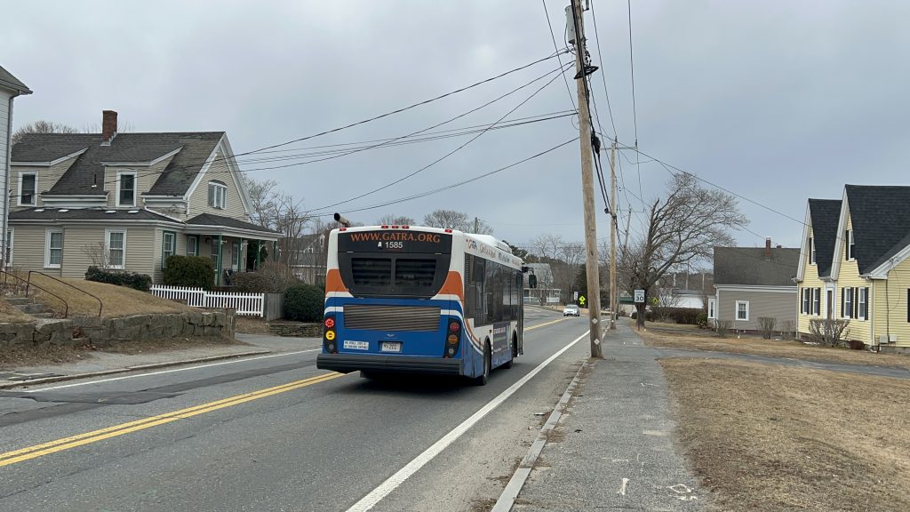
3. Utilize the GATRA Freedom/Liberty Links. It’s GATRA. I probably was in for a bad time regardless, plus I didn’t have cash on me, and I didn’t know how to use the GATRA Pay app. Furthermore, GATRA’s own website doesn’t mention GATRA Pay ANYWHERE. So, if I used it, I was at the risk of a bus operator telling me to fuck off.
4. Walk the 2 and a half miles from Kingston/Rte. 3 to Cordage Park. This had the issue of being a long walk. Unfortunately, this was also the path of least resistance.
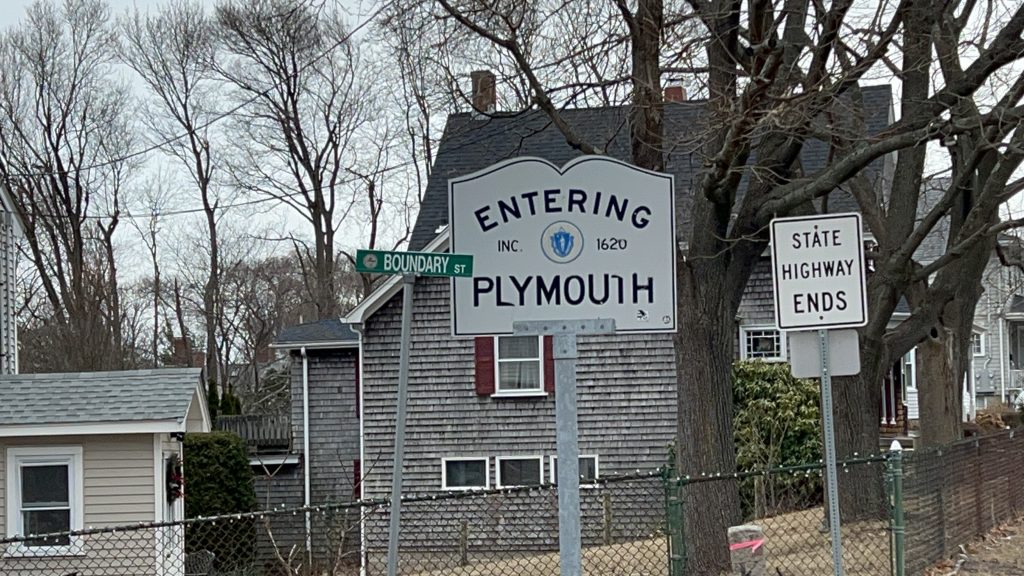
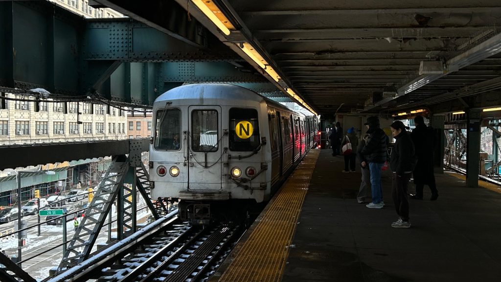
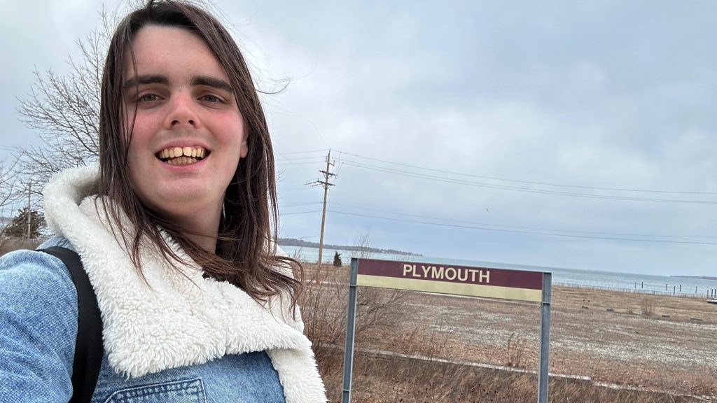
So, after a long and treacherous walk, and likely mildly injuring myself at the Kingston Collection/Rte. 3 interchange, I finally made it to Cordage Park, and the former least-used Old Colony station, and one of the least-used on the entire Commuter Rail system. So, with that in mind, how is it?
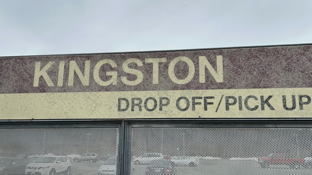
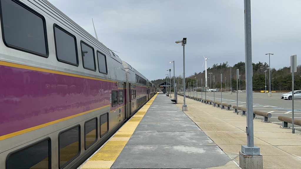
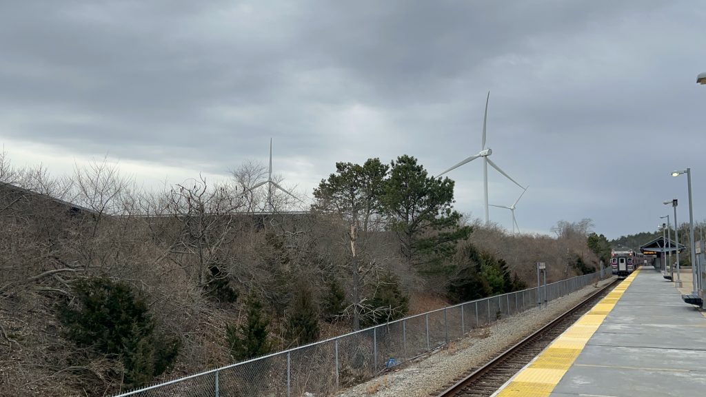
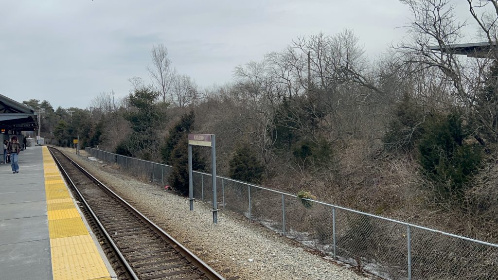
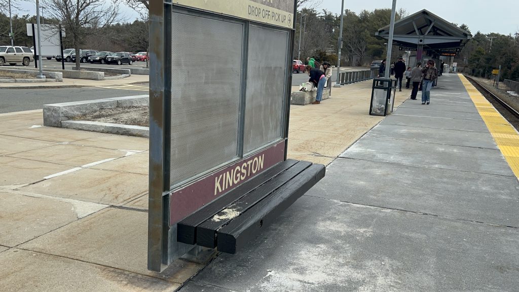
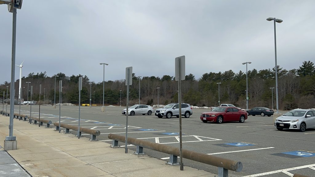
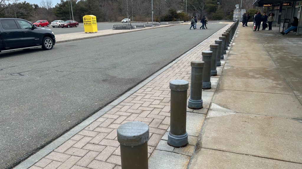
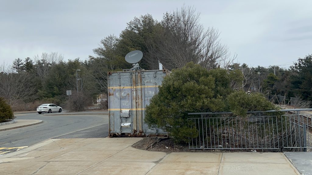
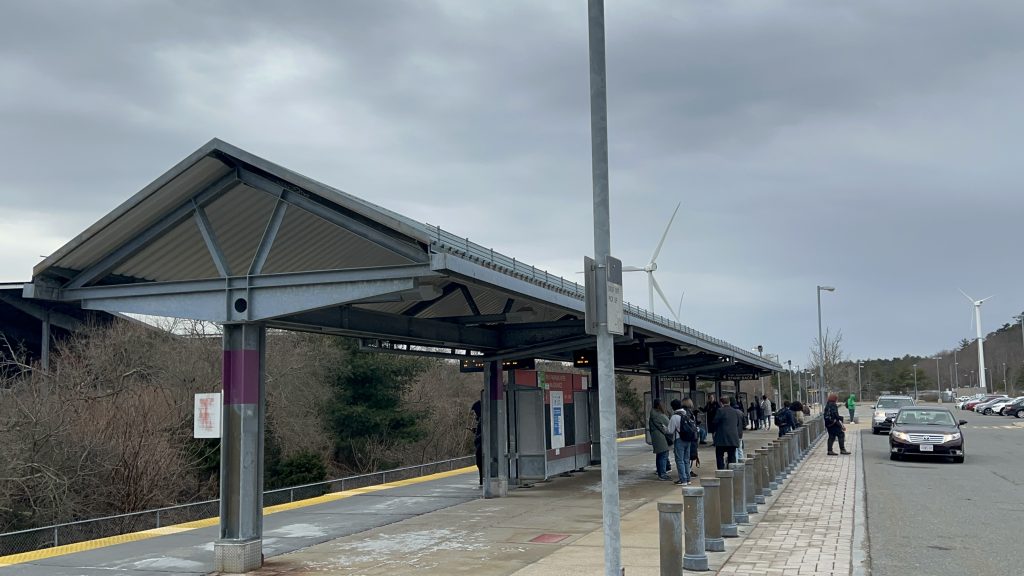
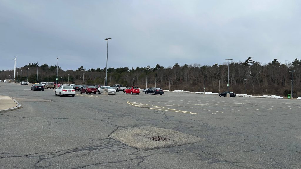
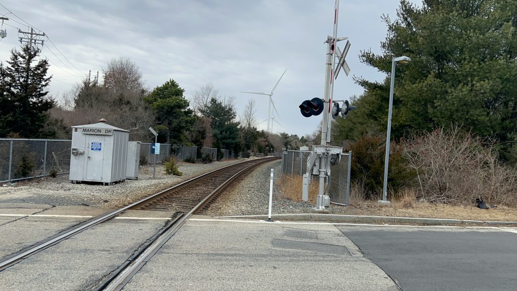
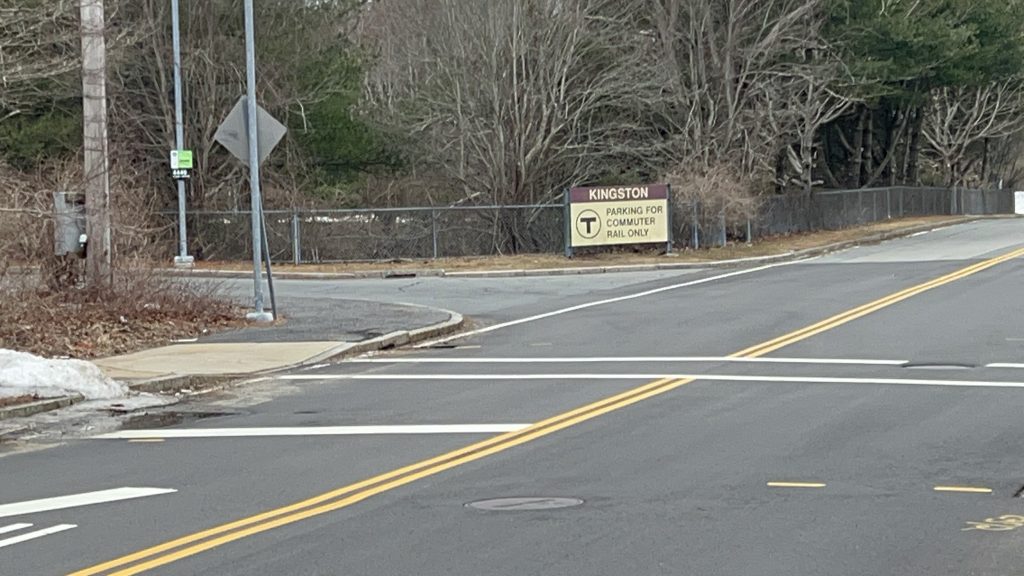
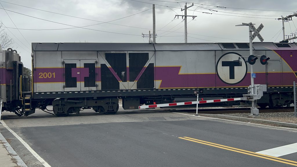
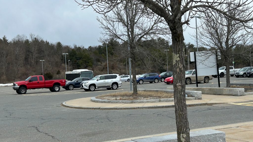
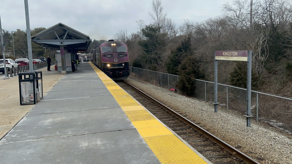
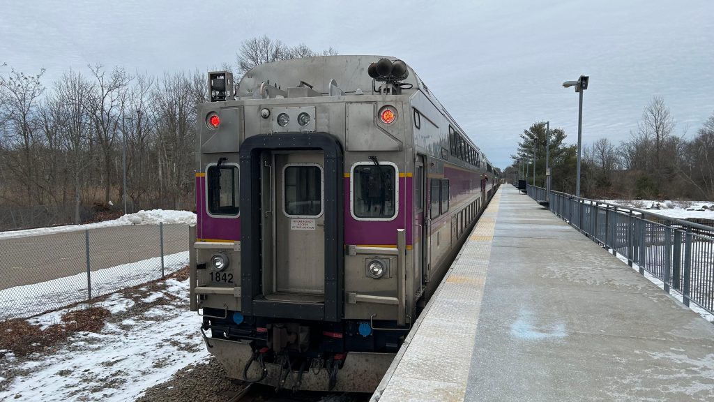
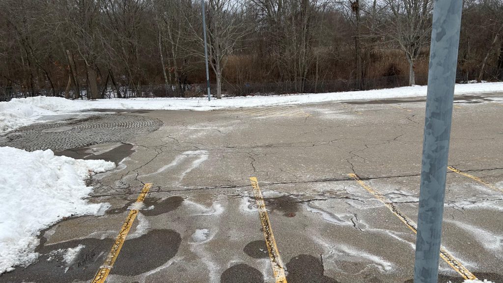
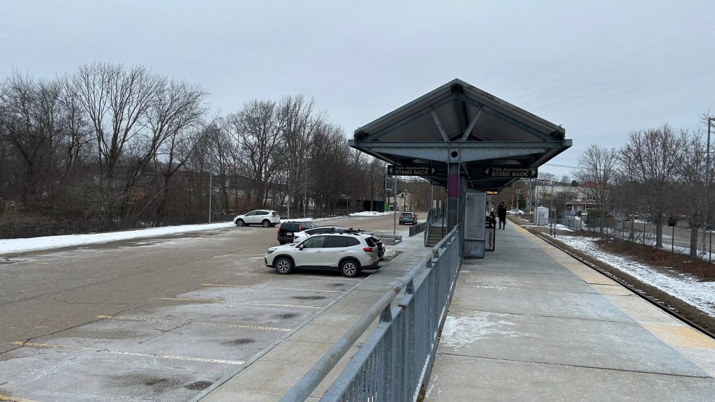
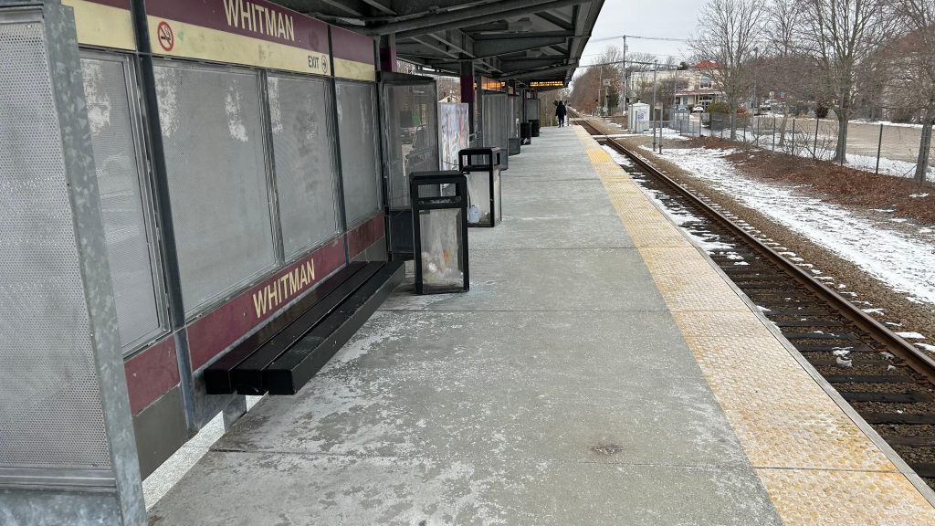
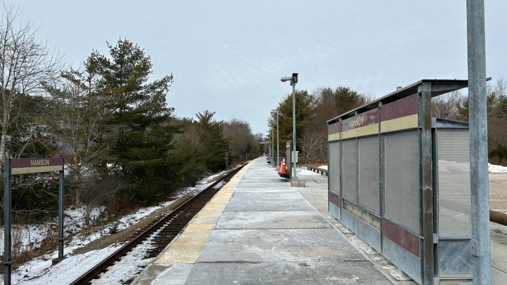
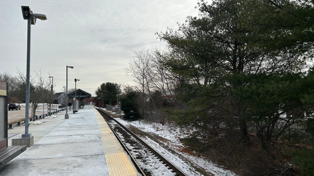
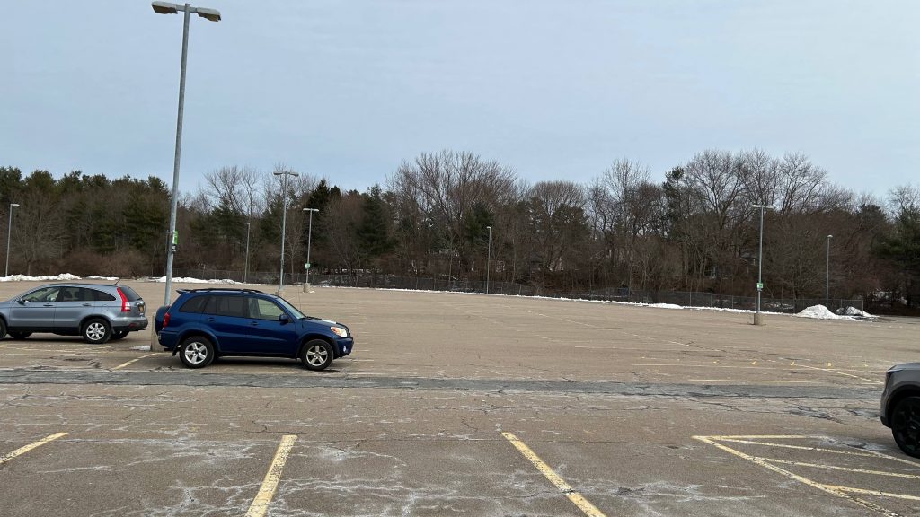
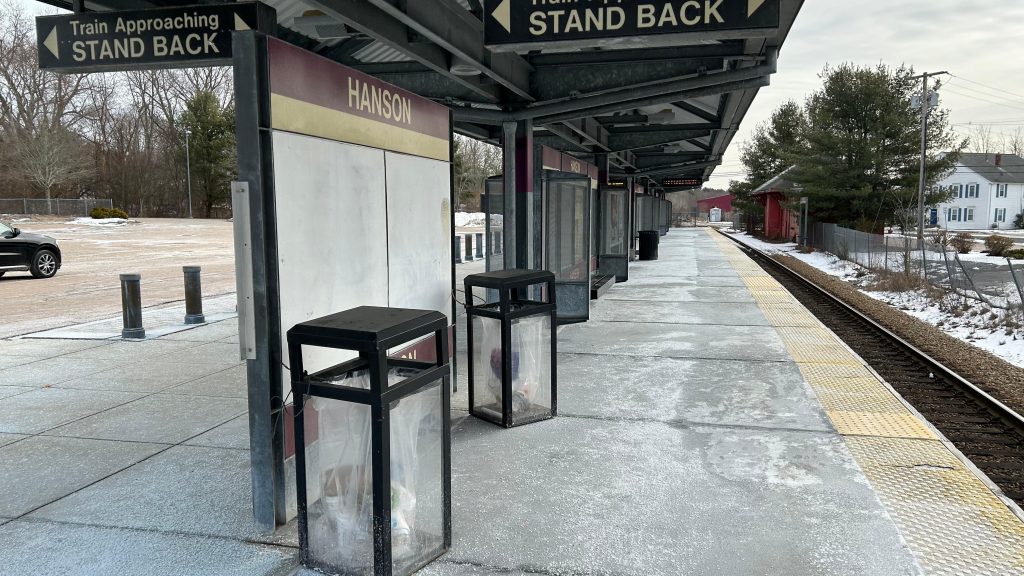
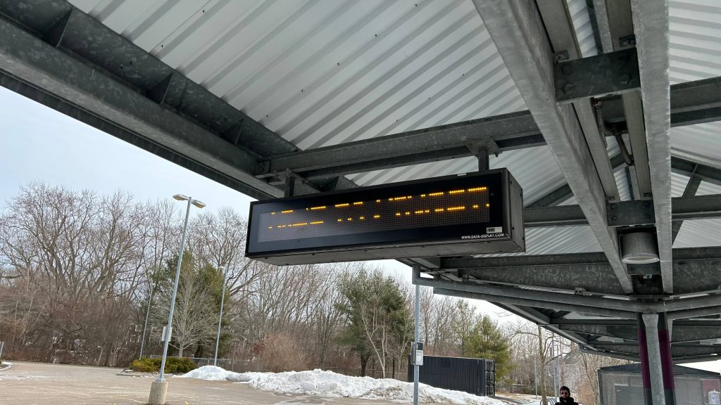
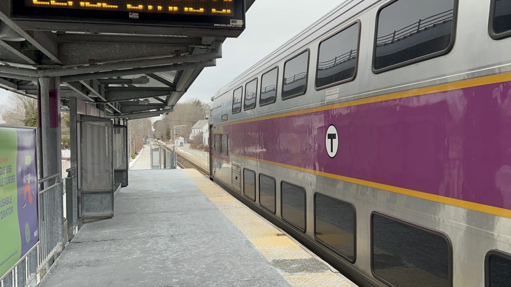
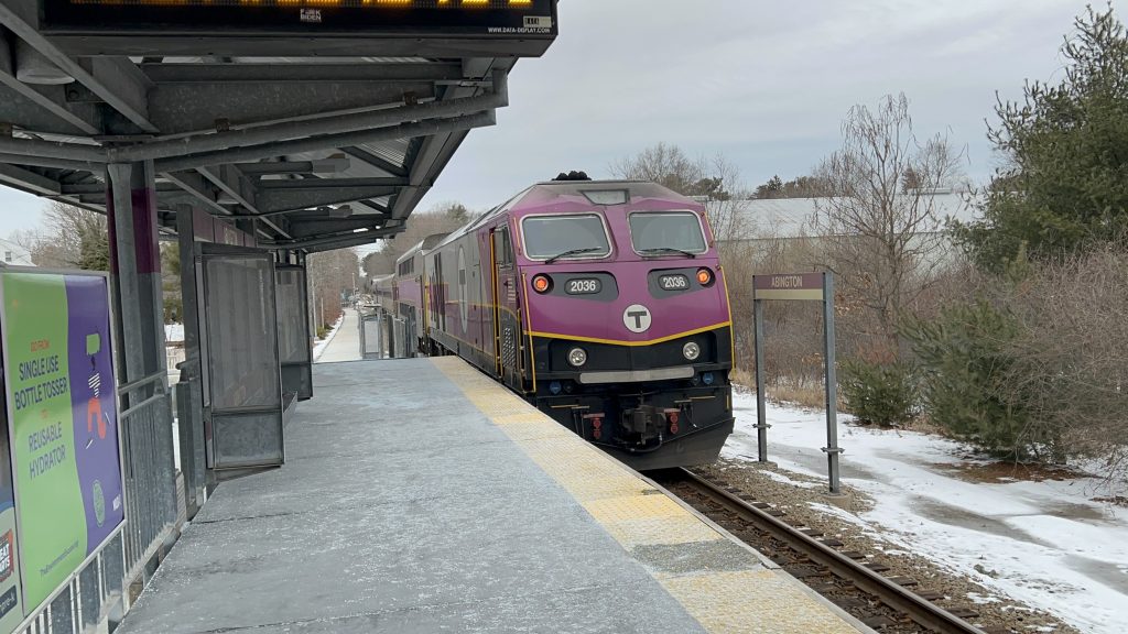
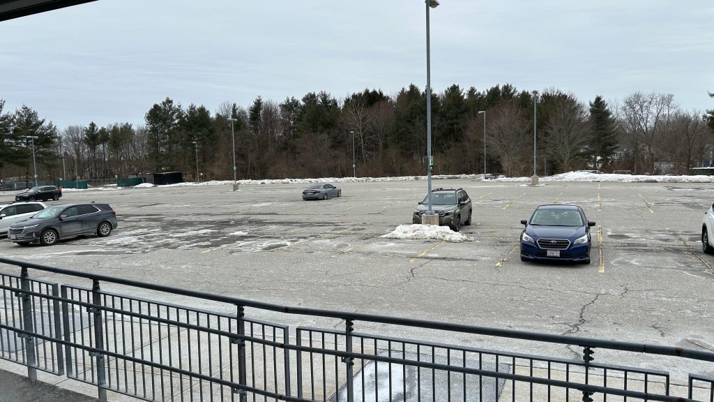
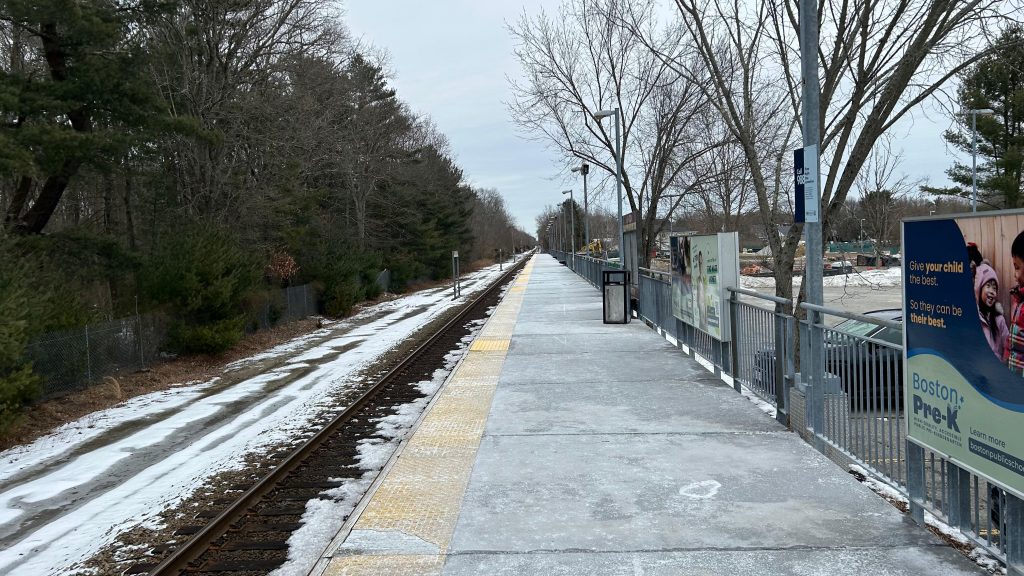
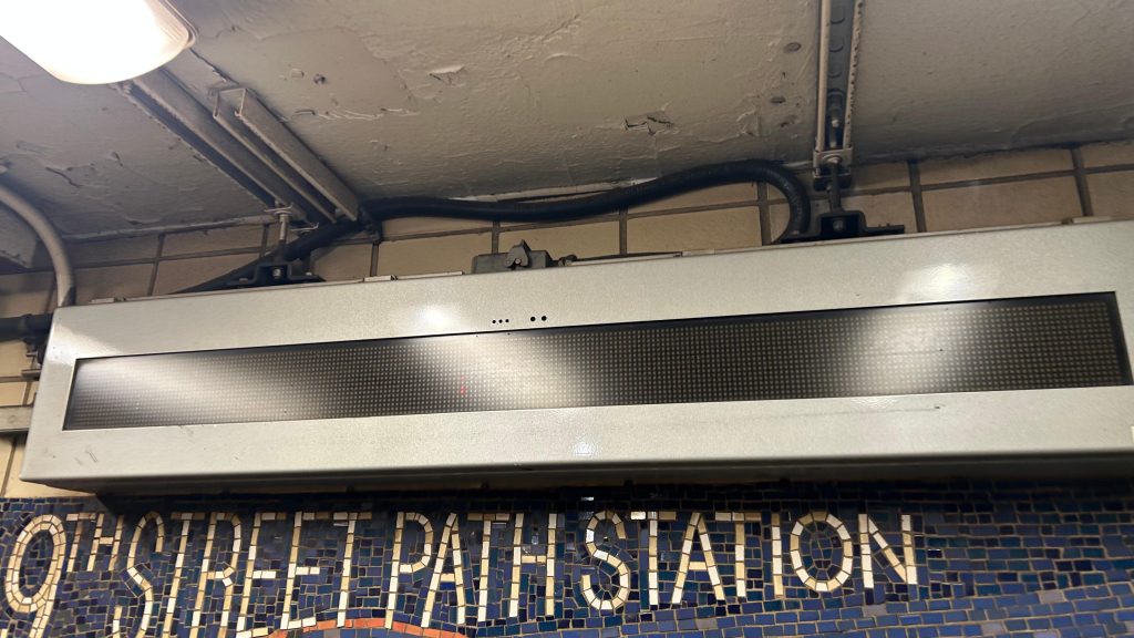
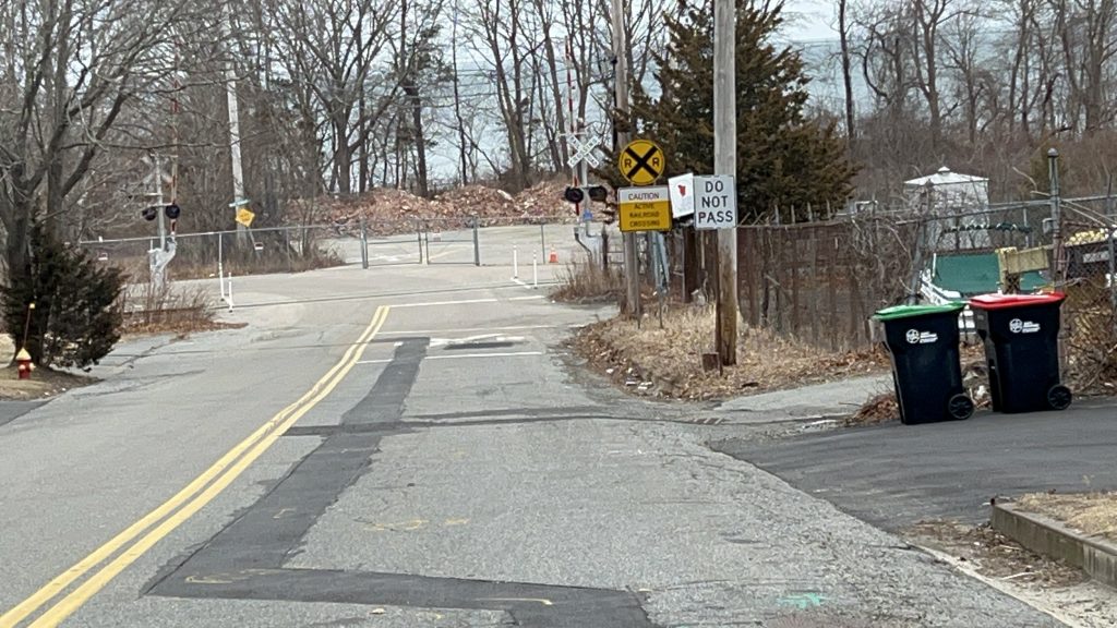
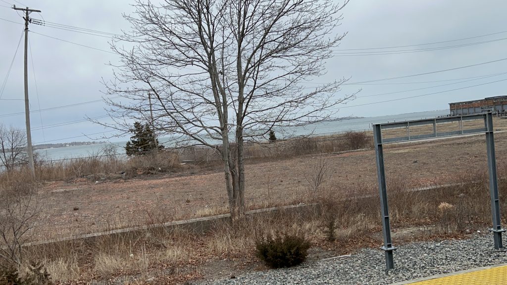
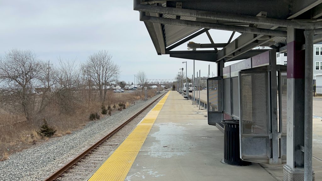
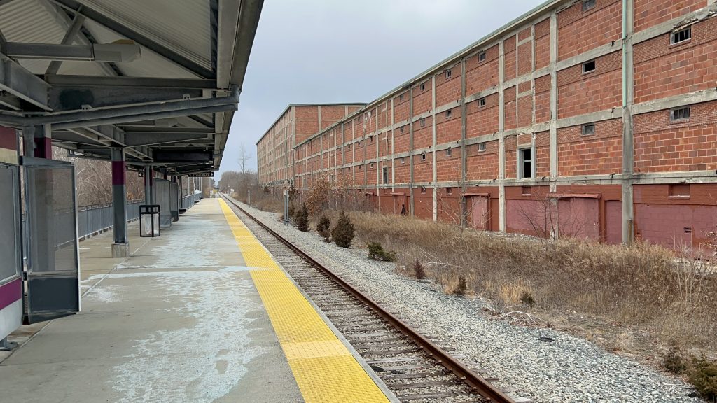
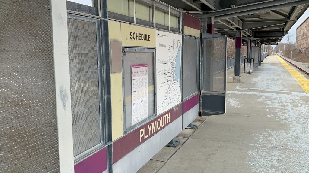
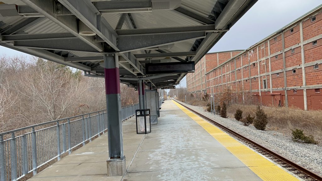
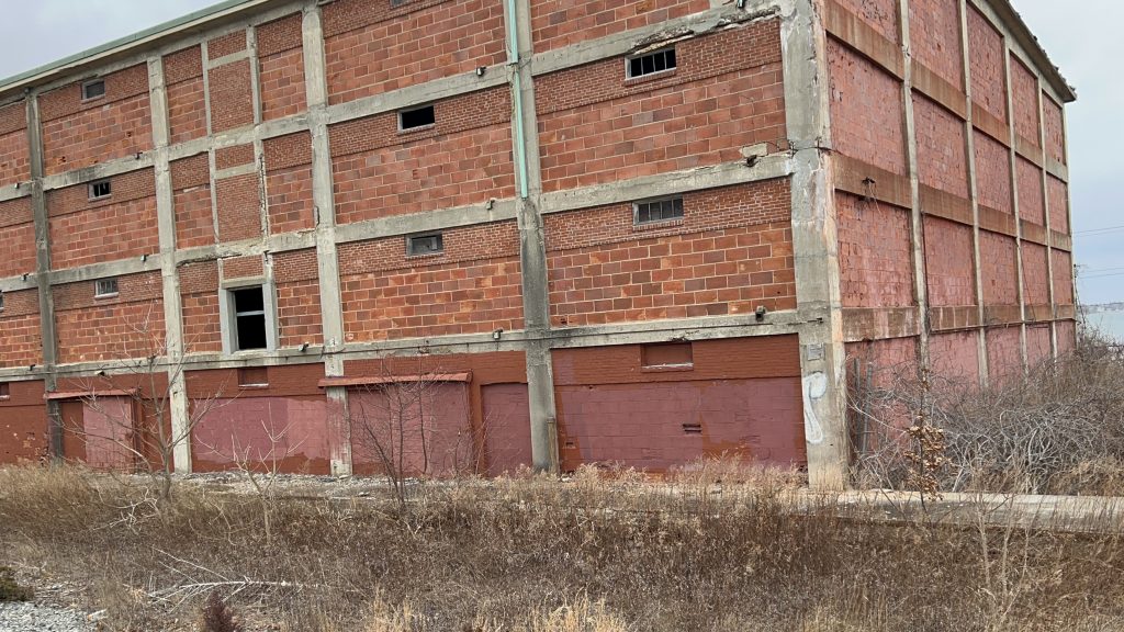
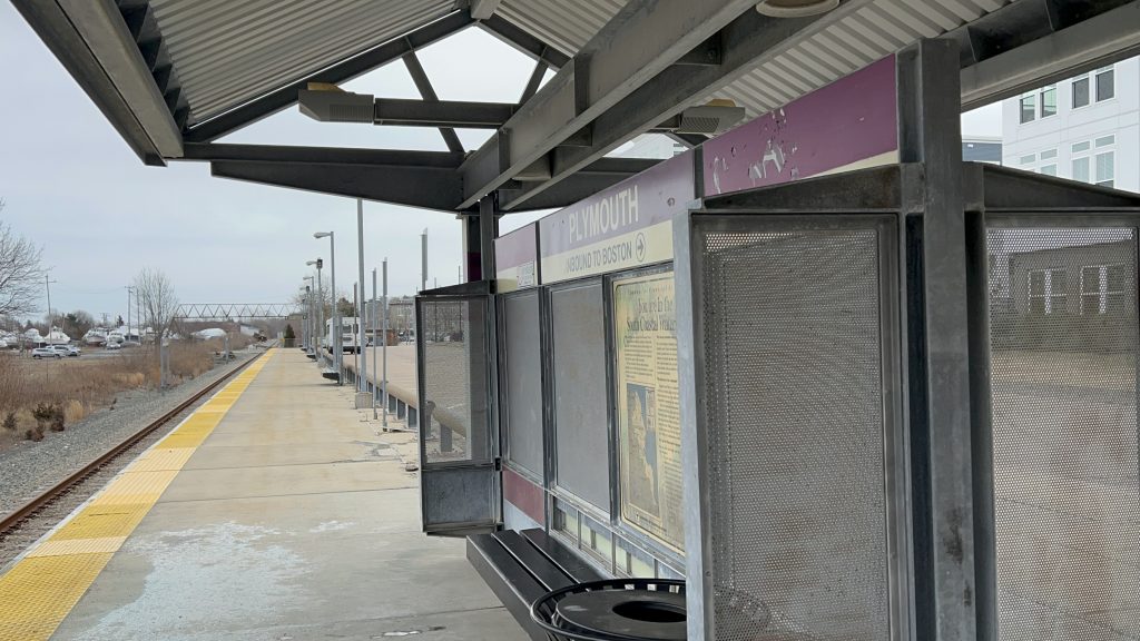
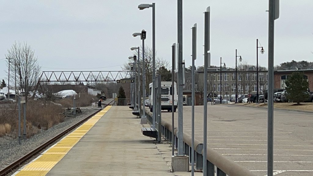
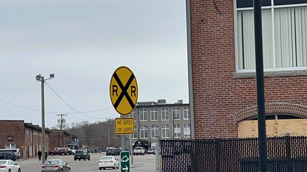
Well, the platform is your standard Kingston/Old Colony platform, with a shelter, benches, wastebaskets, and a yellow dot matrix sign. However, since the station is shuttered, the sign was turned off. In terms of bus connections, you have the Freedom and Liberty Links on Rte. 3A/Court Street. There’s a small amount of parking as well. Originally, allegedly, this also was intended to be the sole terminus of the line, however there was no space for a yard here specifically. Though, I do wonder, if the dilapidated building nearby could be demolished and replaced with a small yard akin to that of Needham’s or Franklin’s layover facility. There’s also a rail trail following the ocean into downtown Plymouth. As for land use, it’s depressingly pretty good. I say depressingly here, because if the station was treated better, it’d probably qualify as TOD. Overall, though, the station’s actually pretty good. It’s just sad that it got killed off by shitty operational practices. Below is a picture of how bad it was.
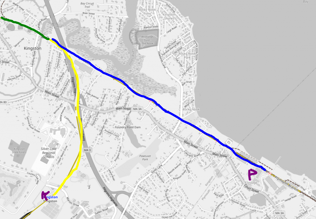
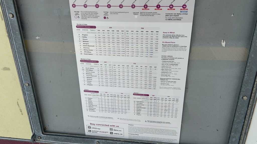
To serve BOTH stations, trains heading to Boston would originate at Plymouth (marked with a P in the diagram), go up the blue-colored line, clear the interlocking where the three colors meet, BE PUT INTO REVERSE, DO BRAKE TESTS, PRESUMABLY WITH THE ENGINEER RUNNING TO CHANGE ENDS OF THE TRAIN, then go down the yellow-colored line to Kingston/Rte. 3 (marked with a K). THEN REVERSE AND BRAKE TEST AGAIN, and FINALLY head on out to Boston via the Kingston/Plymouth Line (marked in green), making the usual stops. THAT. IS. BAD. YEAH. AND ALL THIS TIME BETWEEN THE TWO STOPS, THE TRAIN IS SIMULTANEOUSLY THE INBOUND AND THE OUTBOUND! RAAAAAAAAAAGH. THAT MEANS, IF YOU WANT TO GO FROM HALIFAX TO KINGSTON, OUTBOUND, YOU’D BE ON THE TRAIN FOR A GOOD 40-50 MINUTES, JUST TO GO WHAT SHOULD BE A 7 MILE JOURNEY. FURTHERMORE, IF YOU WANTED TO GO FROM PLYMOUTH TO HALIFAX INBOUND, THAT’S ANOTHER 40 OR SO MINUTES. JESUS CHRIST THIS WAS BAD. Just double track the entire line and run trains from both termini, some turning in downtown, and some at Braintree. Just, please…anything but this again should the station reopen.
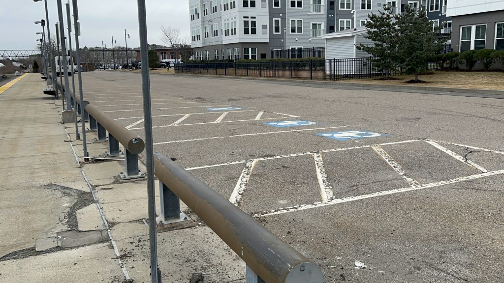
The good: It’s surprisingly kinda close to downtown Plymouth! (though, not IN downtown Plymouth, which is annoying in its own right). There’s also development around it, after the land use being kinda shit for the longest time (a Walmart?!)
The bad: Operational practices, really. That’s what killed ridership here and, killed service entirely.
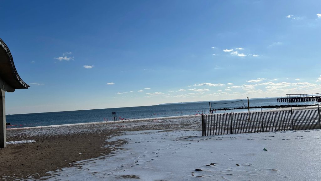
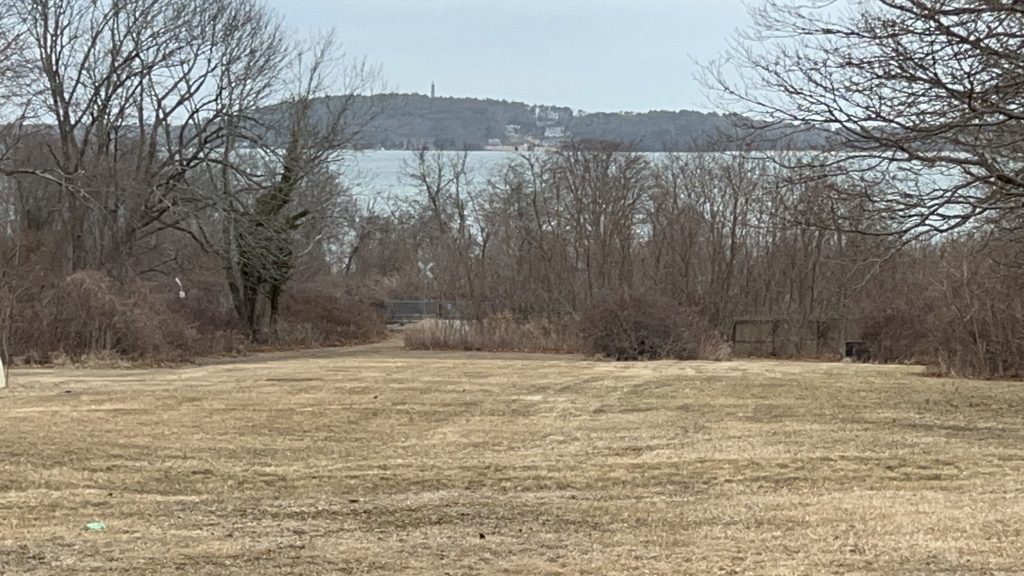
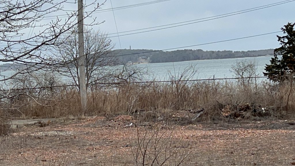
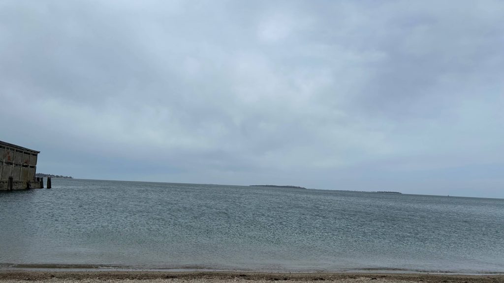
Nearby points of interest: Around Cordage Park? There’s a boardwalk and a beach! Going up to downtown, though, and you have stuff like the Mayflower, Plymouth Rock (it’s just a random rock someone carved “1620” into, don’t visit it), and even…….cult activities??? Yeah……..I don’t know much about the Twelve Tribes, but from a friend that lives in the area, she told me that they actually set up shop in the area. I digress. The oceanside views are pretty nice, though!
Transit connections:
GATRA (Freedom/Liberty Links)
Overall, if this station has to return (it really should!!!), PLEASE, AT LEAST RUN SHUTTLE TRAINS TO/FROM HERE!!!
Rating: 4/10 (8/10 station, 2/10 service before it was shuttered)