95X (Westerly/I-95)

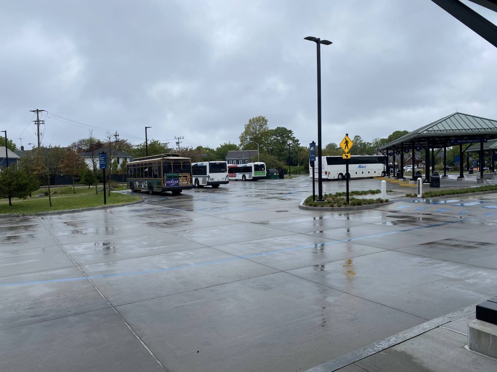
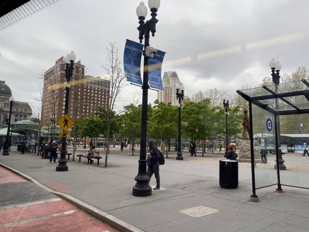
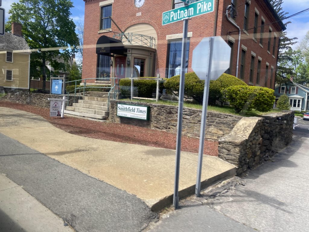
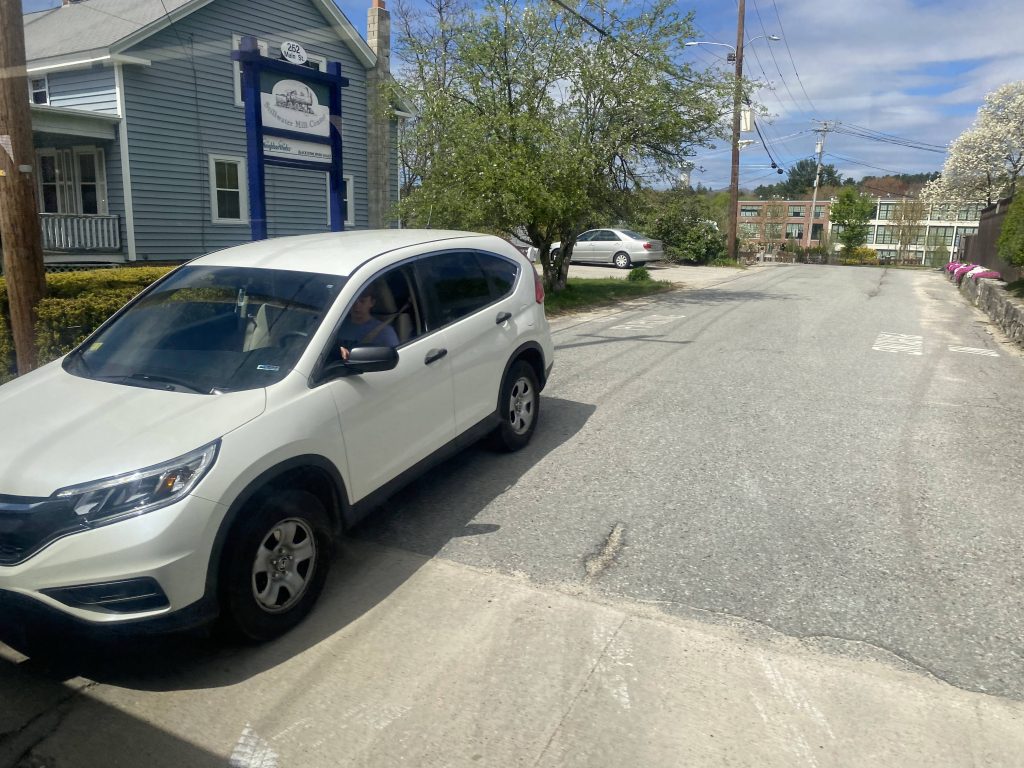
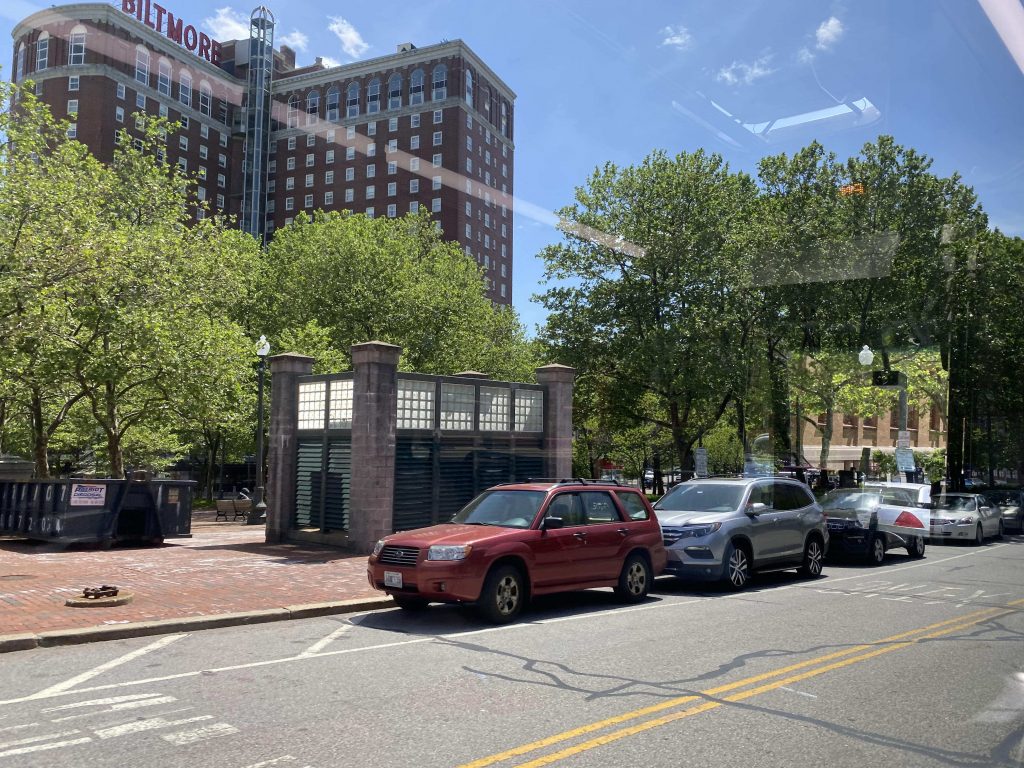
Oh boy, this one’s a big one. Literally. The 95X is, as of 5/23/22, the longest RIPTA route by distance travelled. The 14’s Narragansett branch has the longest runtime, but this one is the longest by mere distance, and with good reason. This route is the byproduct of demand for a Providence-Westerly express bus.

Leaving Kennedy Plaza

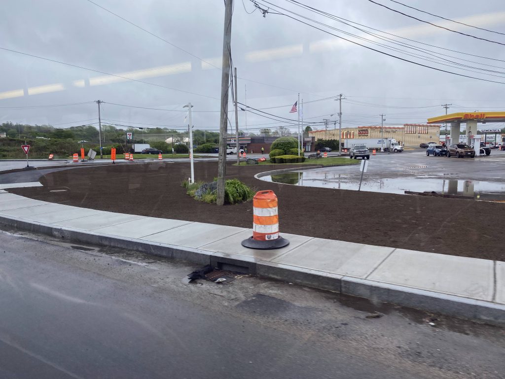
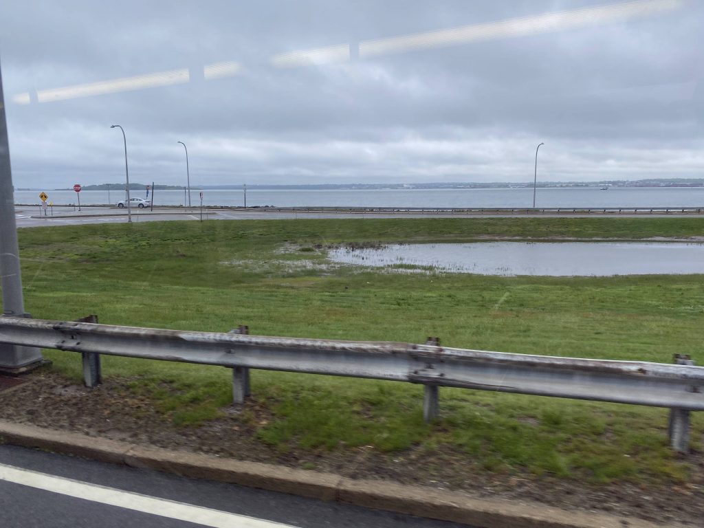
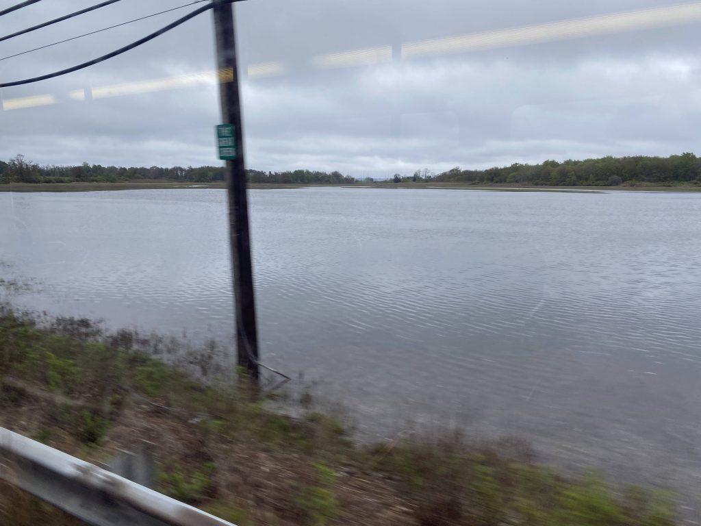
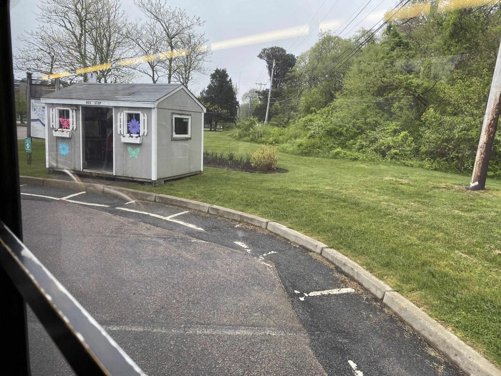
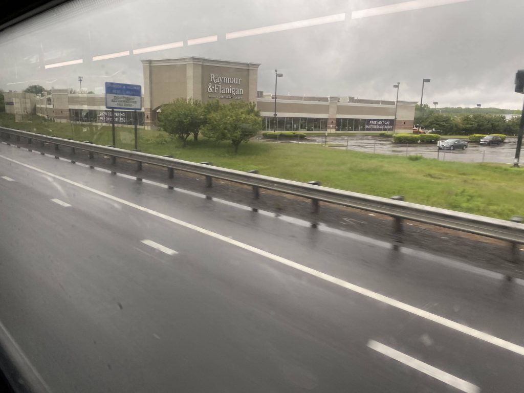
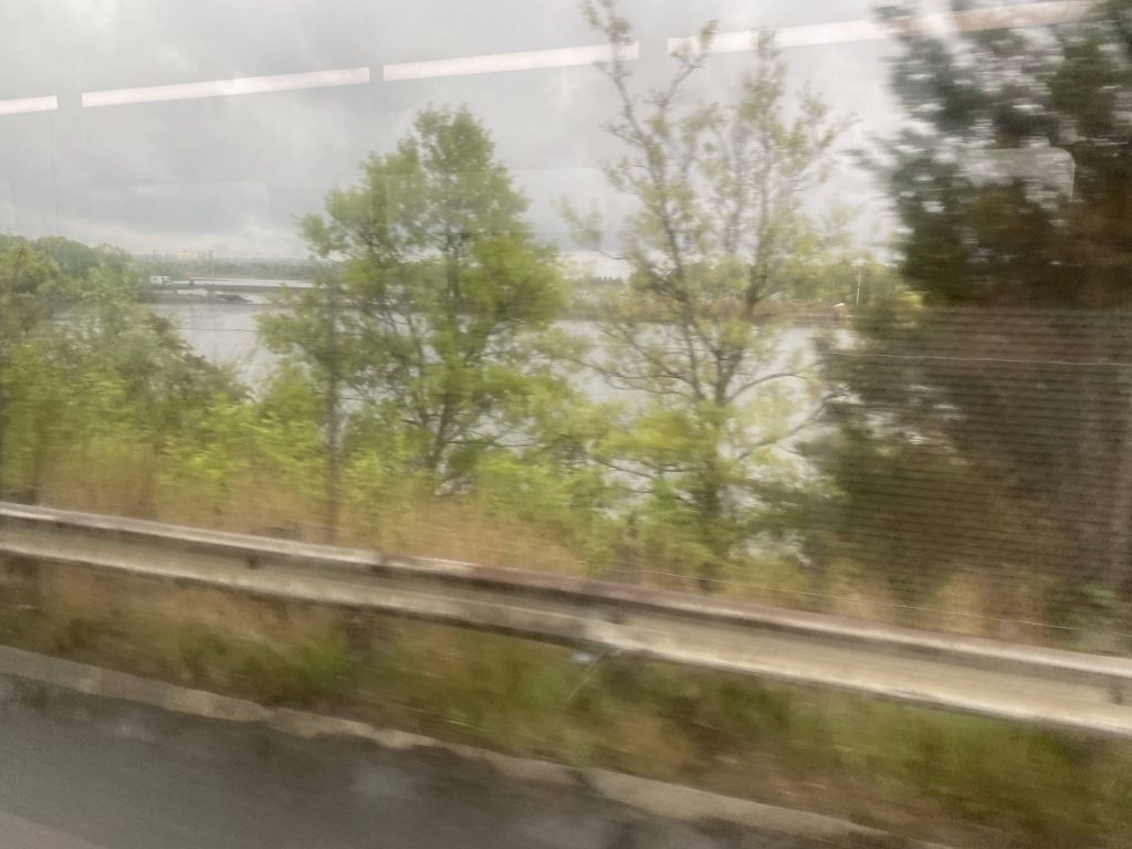
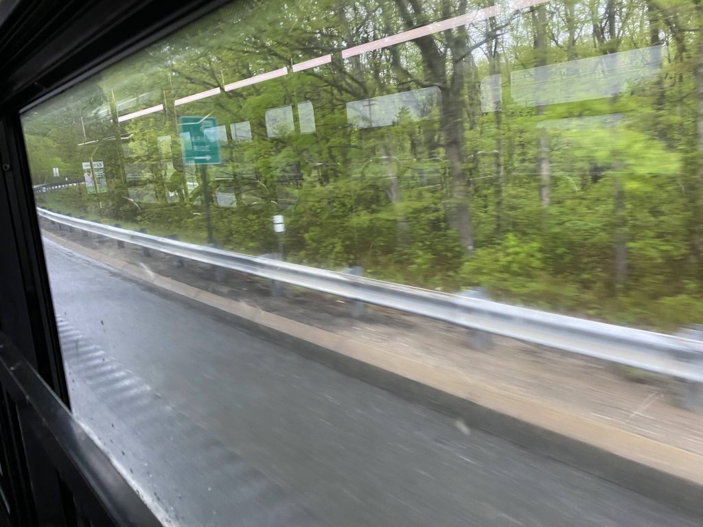
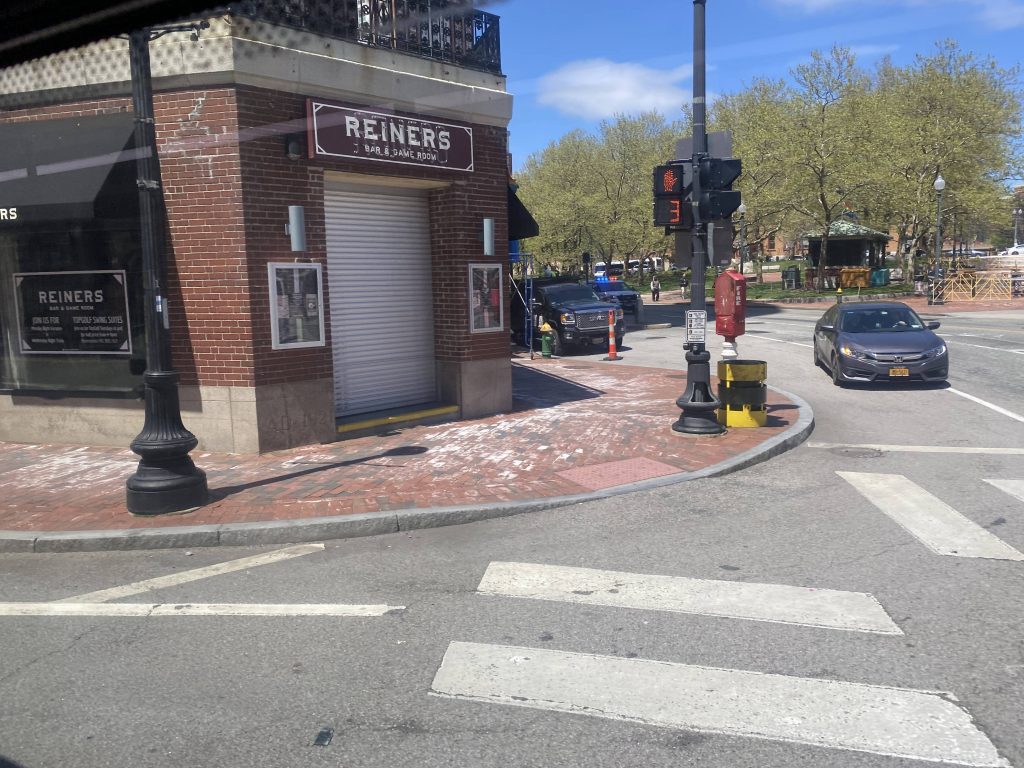
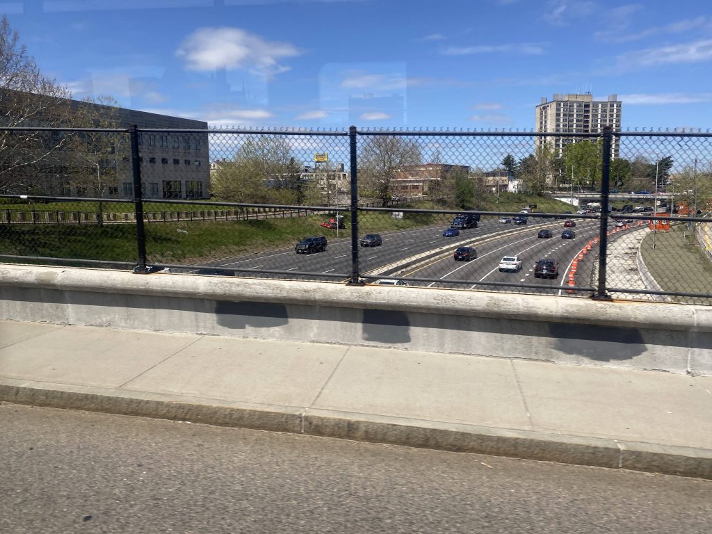
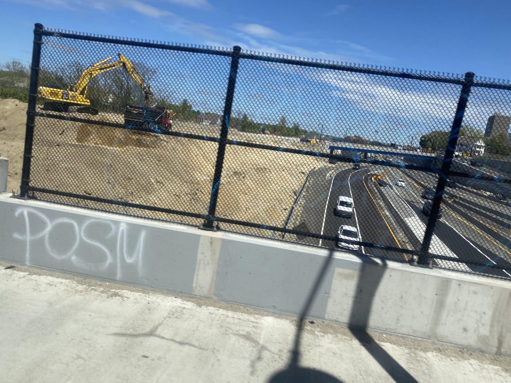
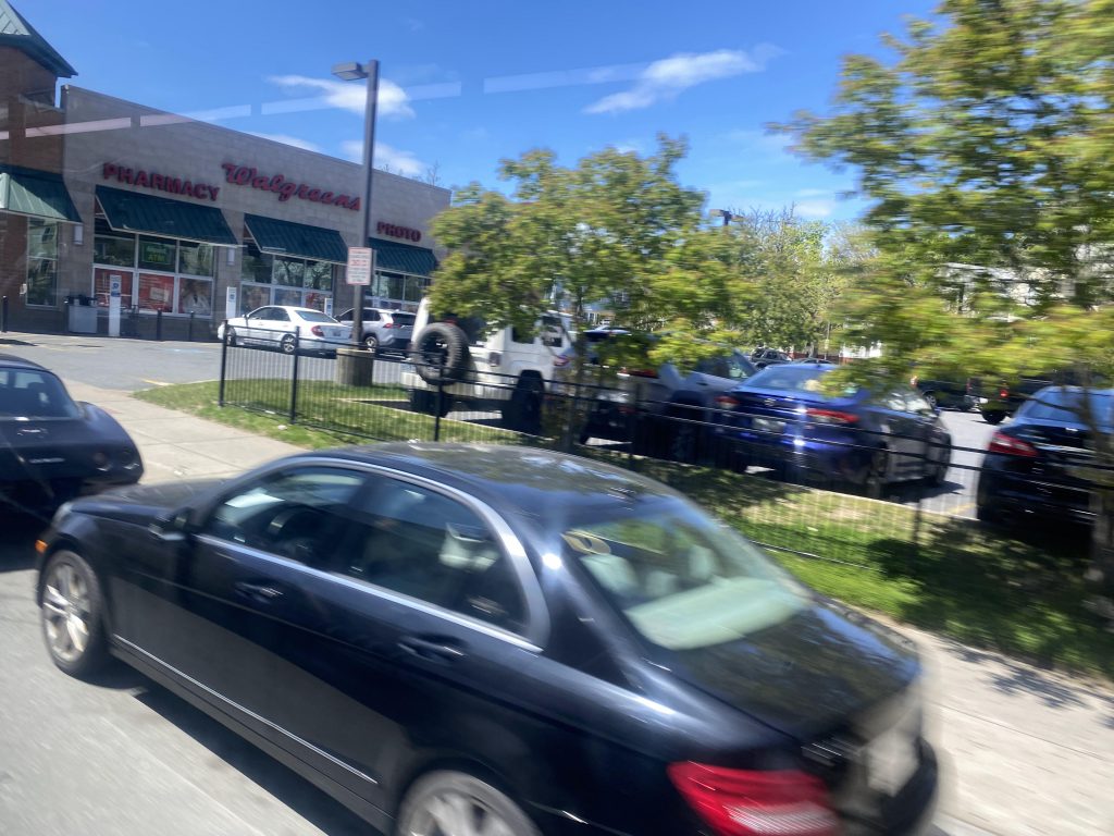
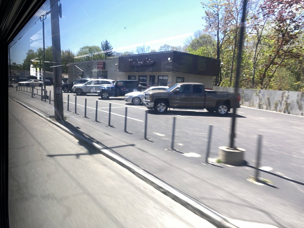
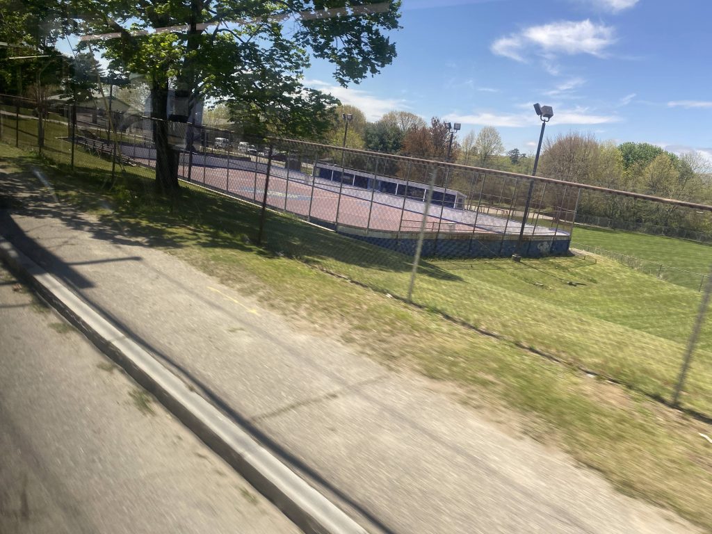
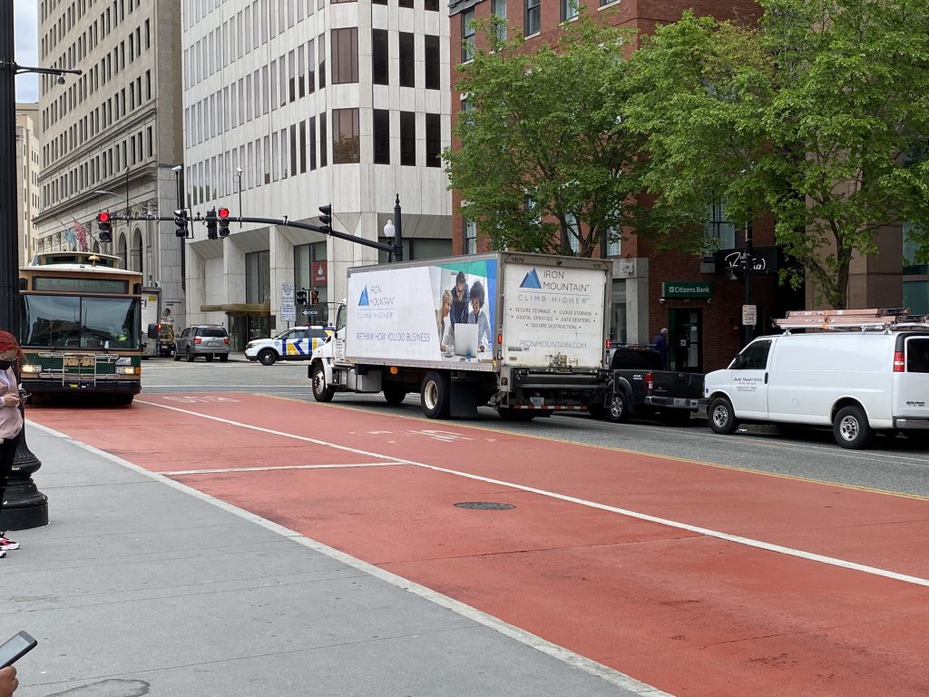
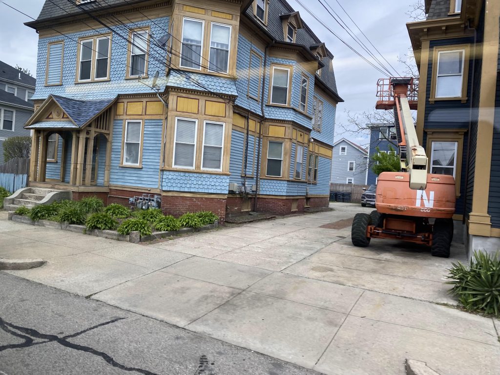
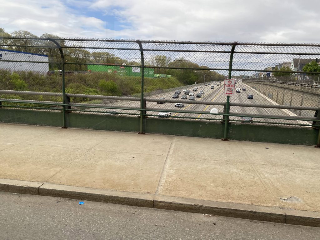
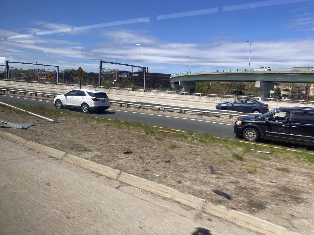
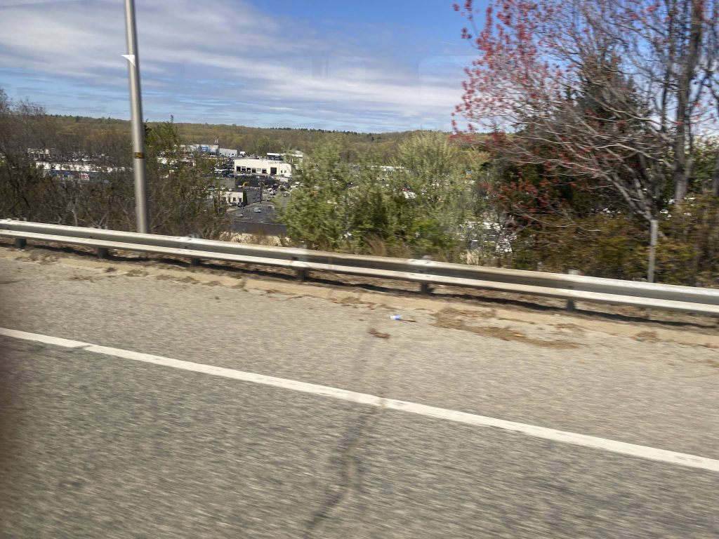
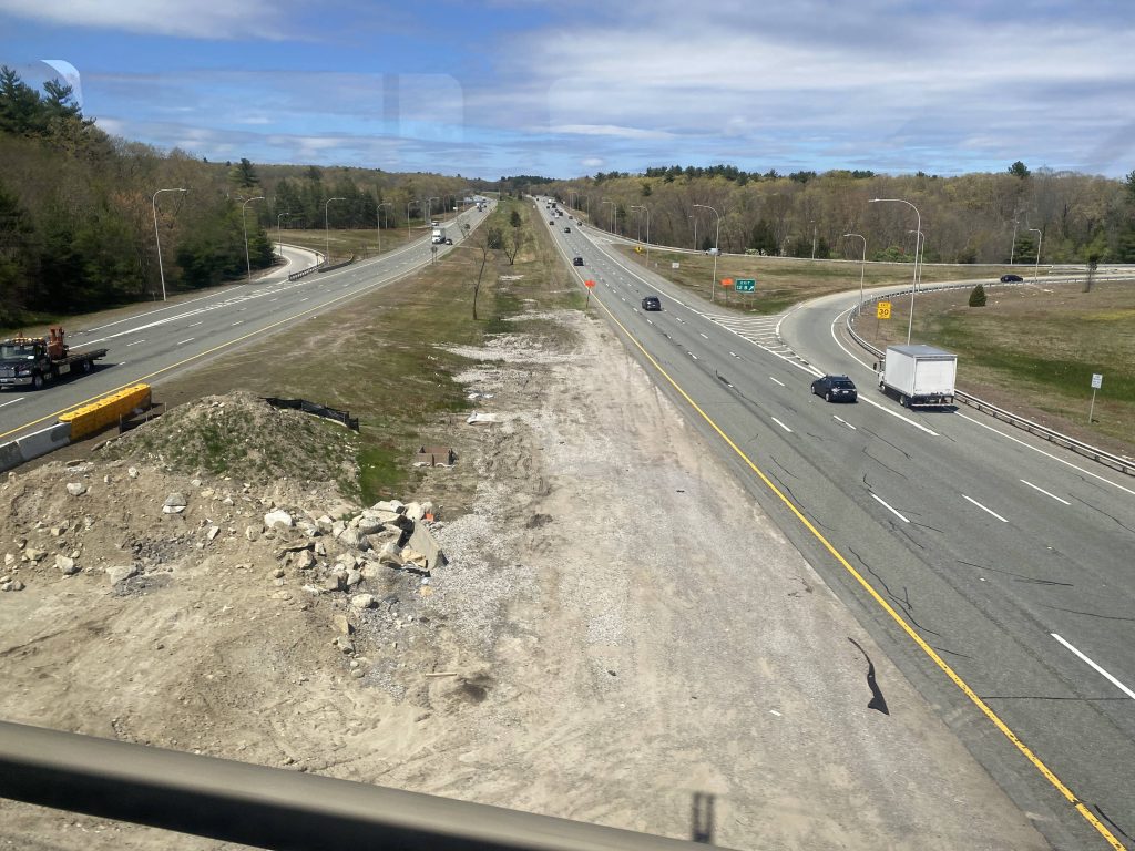
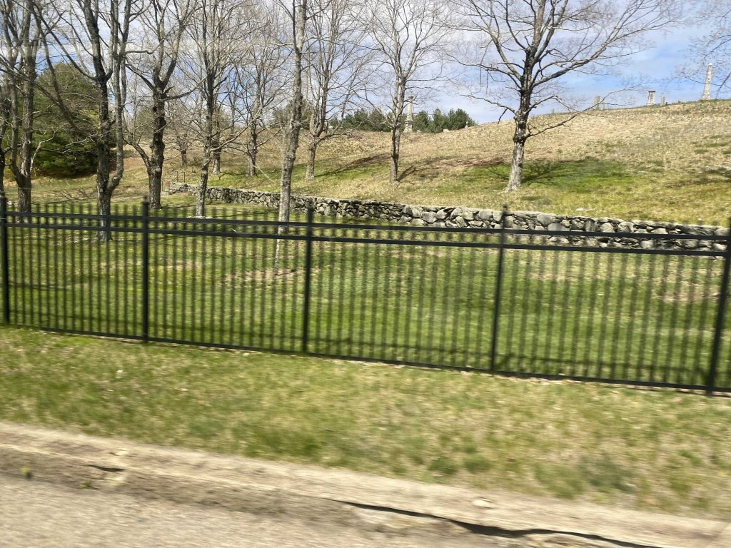
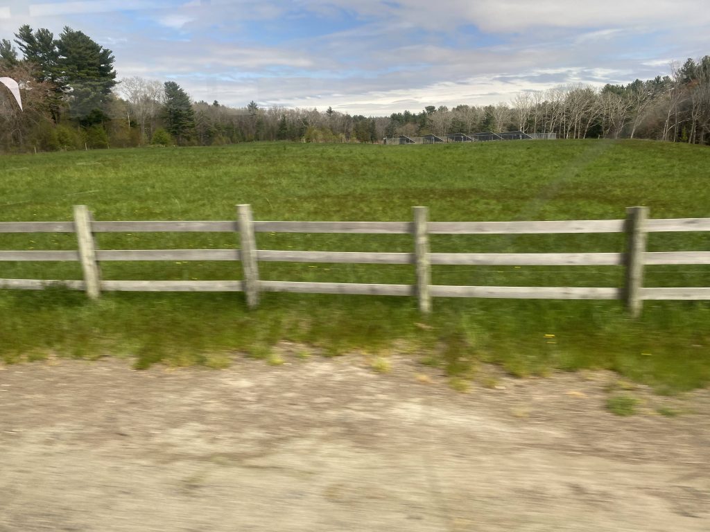
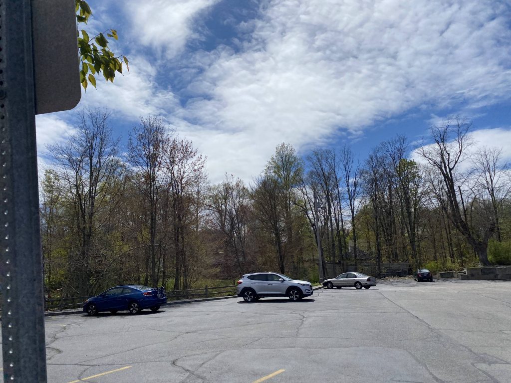
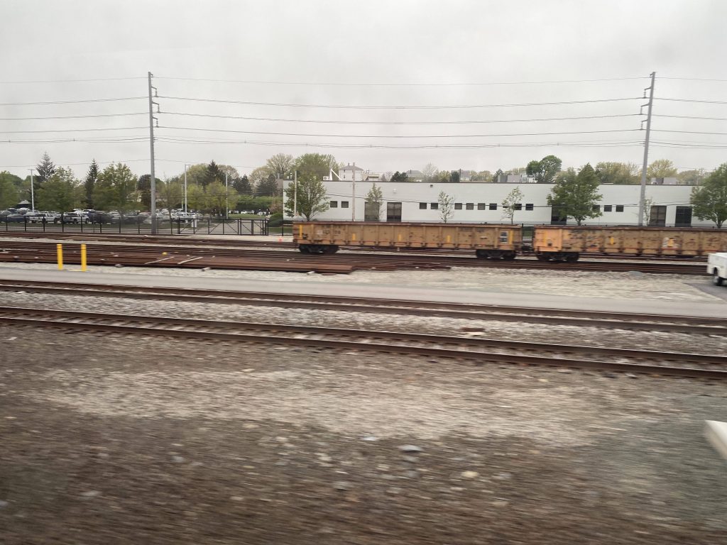
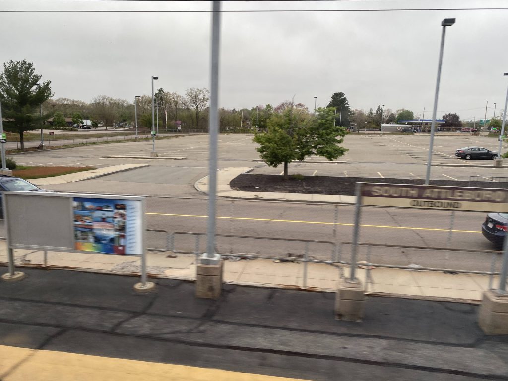
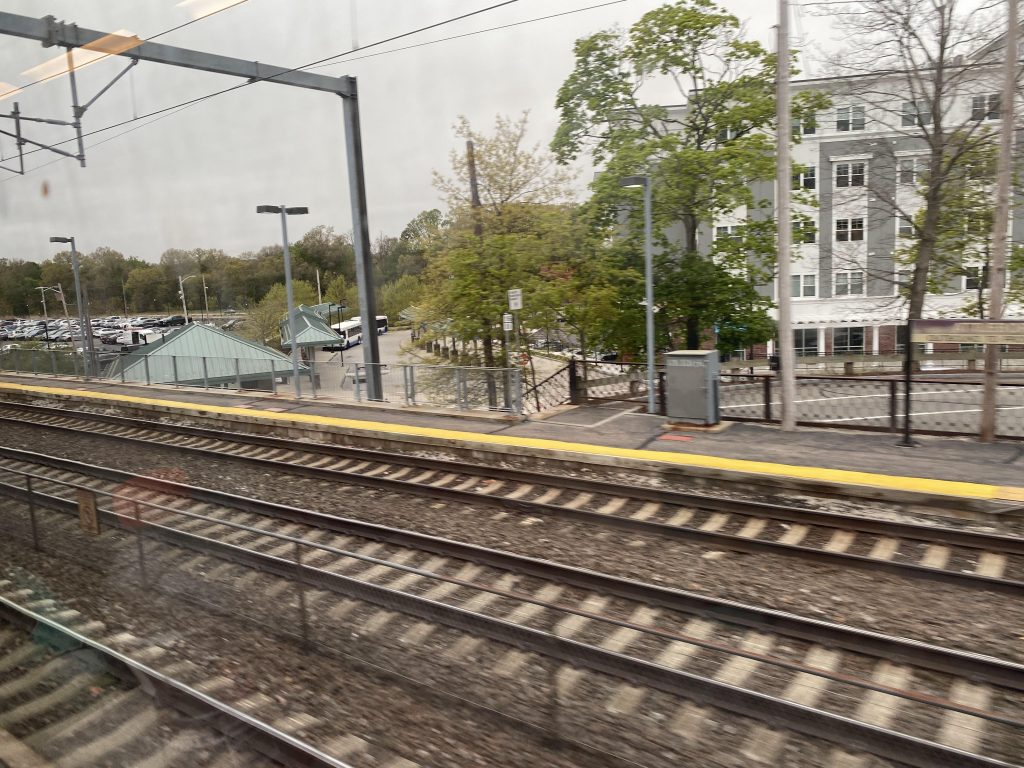
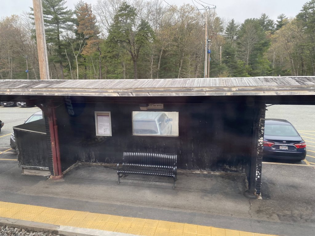
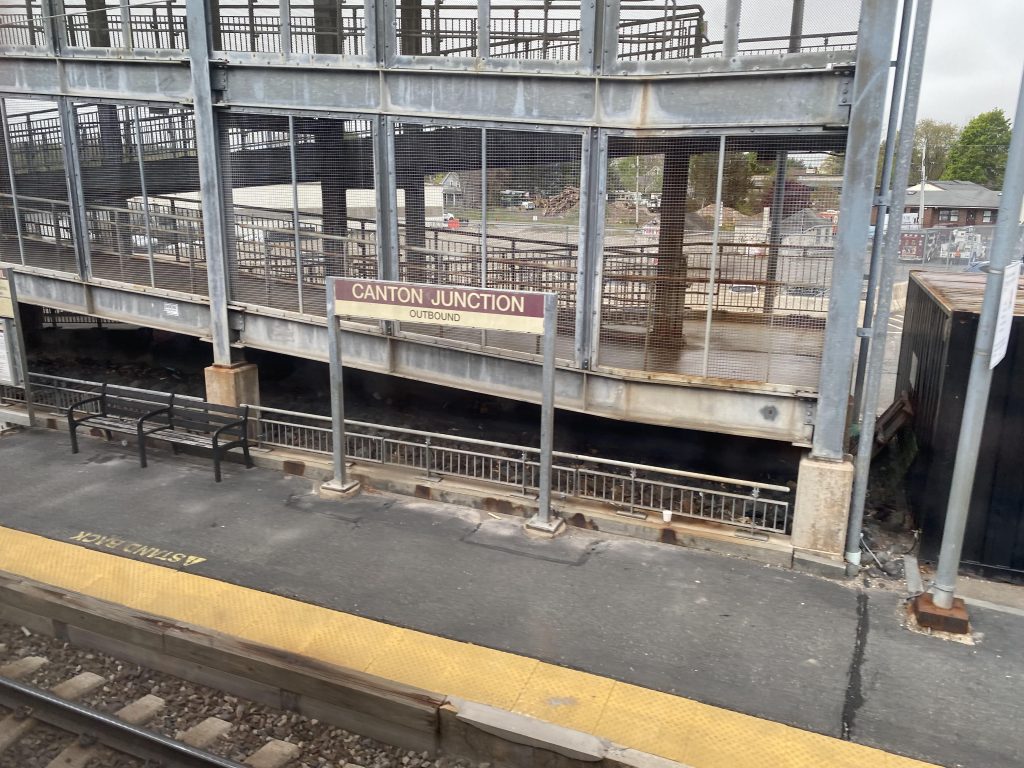
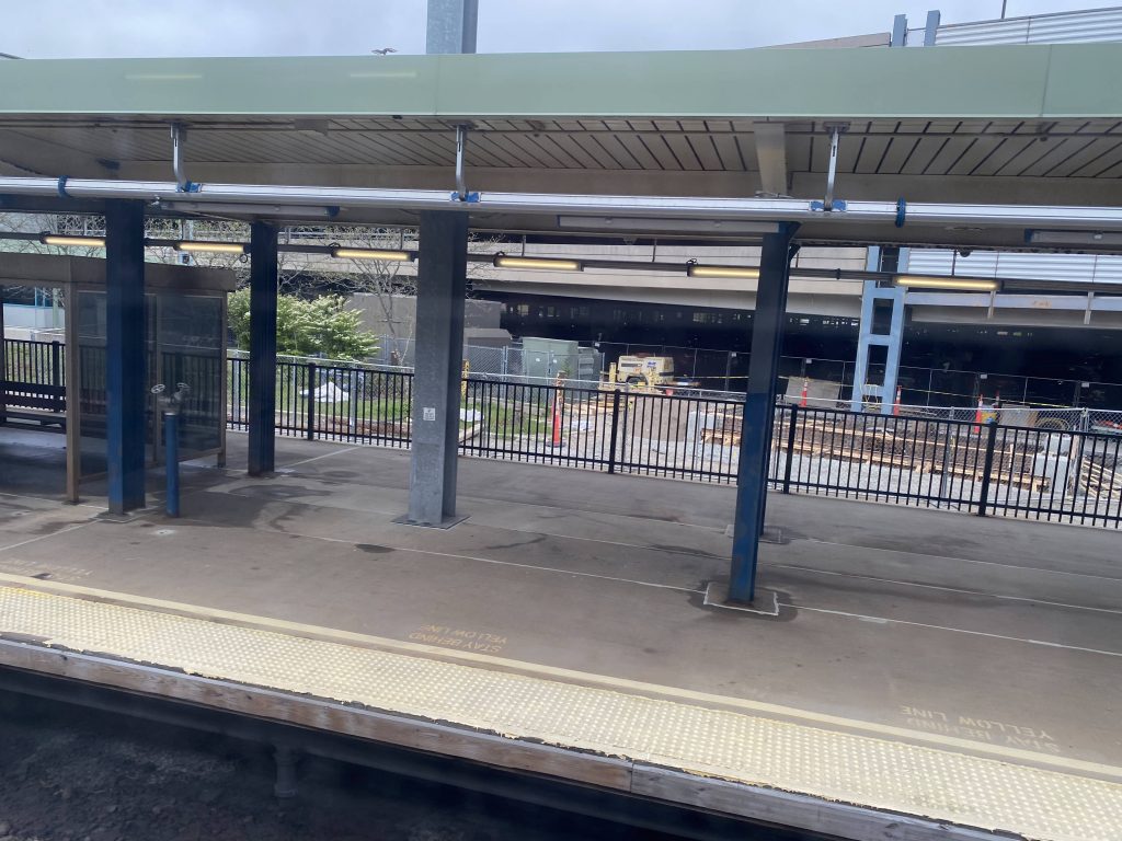
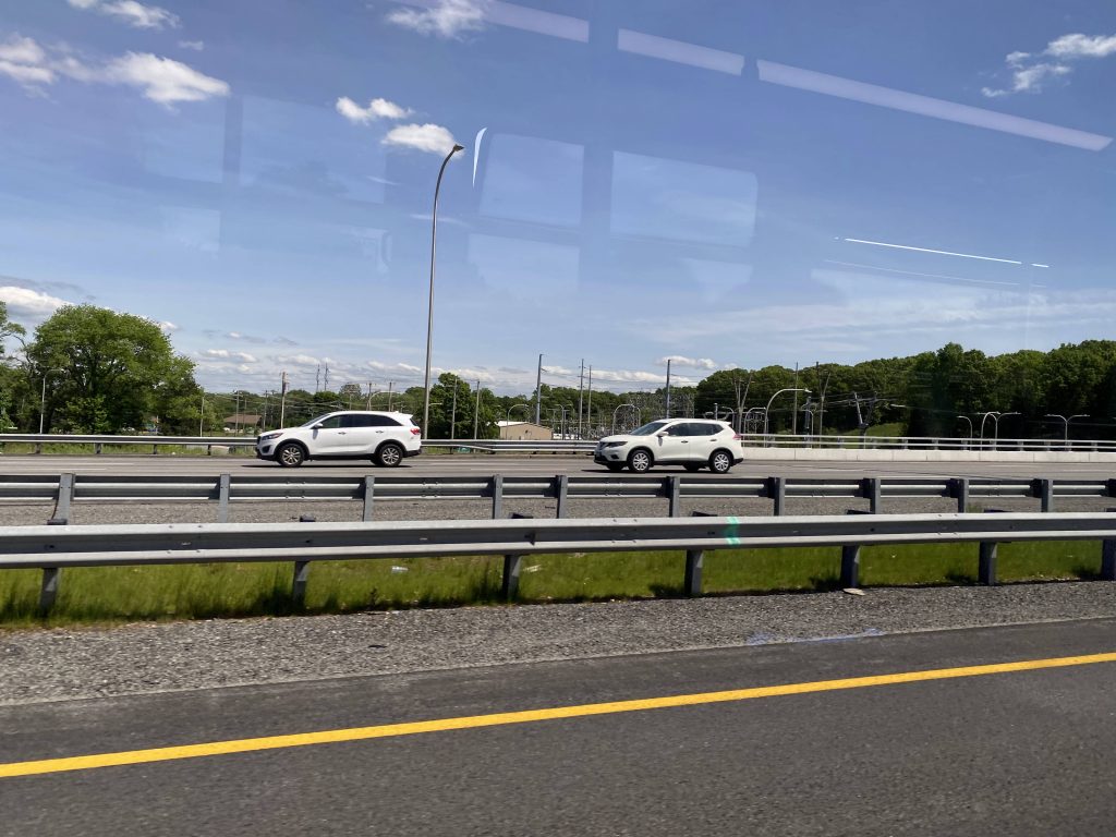
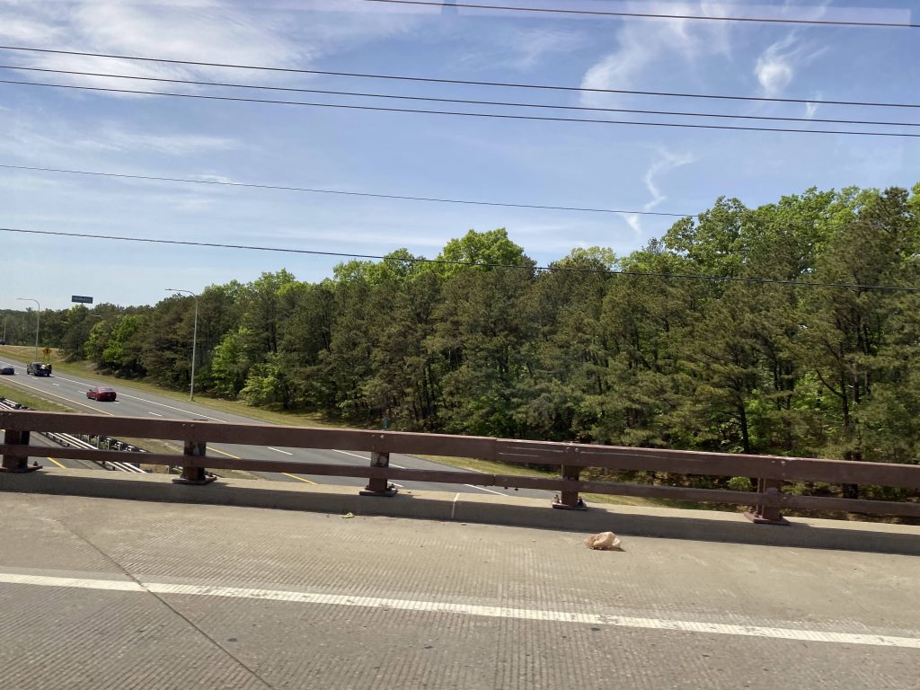
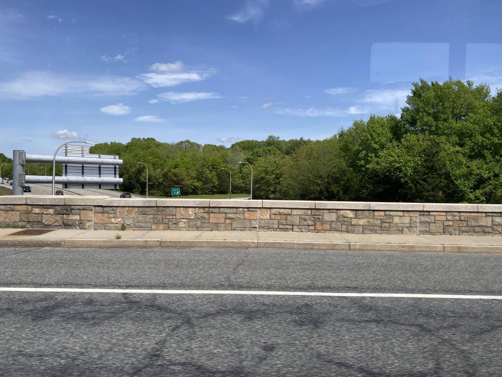
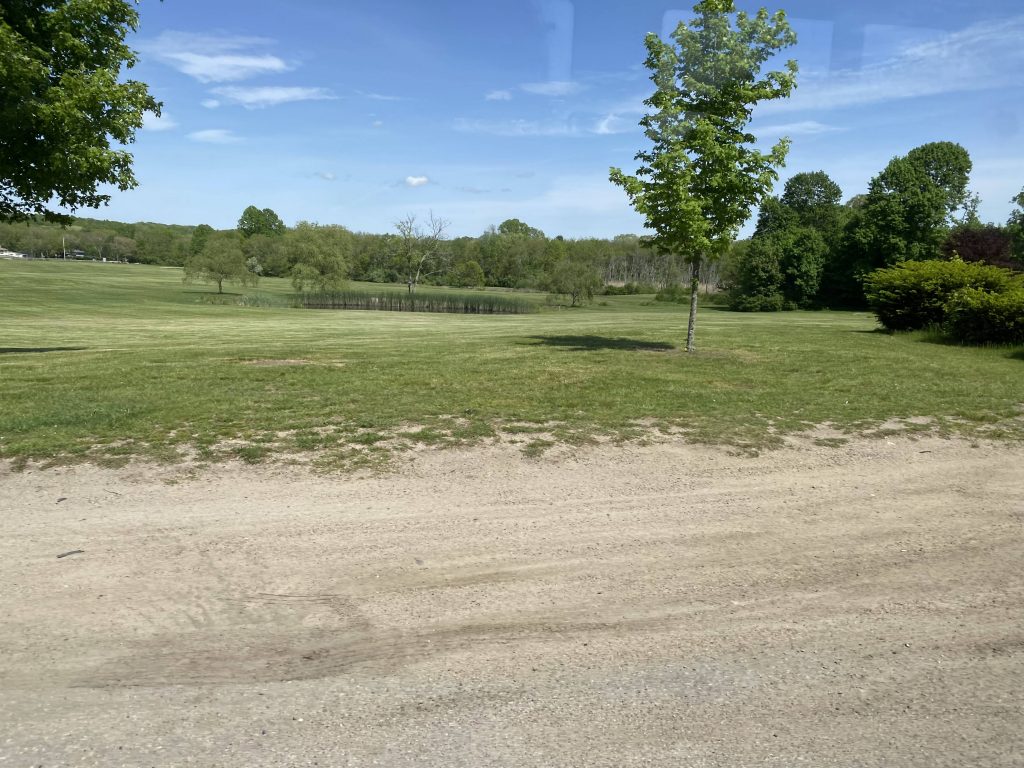
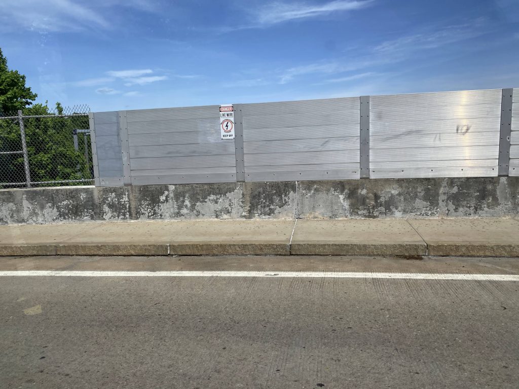
So, after boarding the bus and taking off, we immediately went express like most express routes do. From here, we booked it down through I-95, passing various things. As this happened, the exit numbers kept decreasing slowly but surely, as more routes parted ways from this shared segment. The 14 left us at exit 15, the QX joined briefly at exit 14, the 66 deviates at exits 13 and 12, the 12X leaves at exit 10, while the 65X and 66 leave for good at exit 9 to the left. From here, the 95X was the last man standing and it’d still be a long way until, what’s this? A deviation?! Yes, we deviated off at Exit 7 and took a left towards the aptly-named “Exit 7” Park & Ride lot. This could also be a transfer point for the new route 23, but current routing doesn’t allow for easy transfers. We then got back on the interstate and kept pressing on. We passed Hopkins Hill Road at exit 6A, Nooseneck Hill Road at exit 6, RI-102 at exits 5B and 5A when eventually after going for what seemed like forever through woods, we made it to deviation #2. Park & Ride in Hope Valley, and apparently the 301 Rural Ride’s terminus is nearby. From here, we banged a u-ey in the park & ride lot and went back on I-95. It was still woodlands until we reached exit 1. From here, we would have deviated off into the park & ride lot, but the driver opted not to after I and the other guy confirmed we weren’t going there, presumably to save time.

No RI-117 P&R deviation for you, sir!
Exit 7!
Exit 3!
Exit 1!

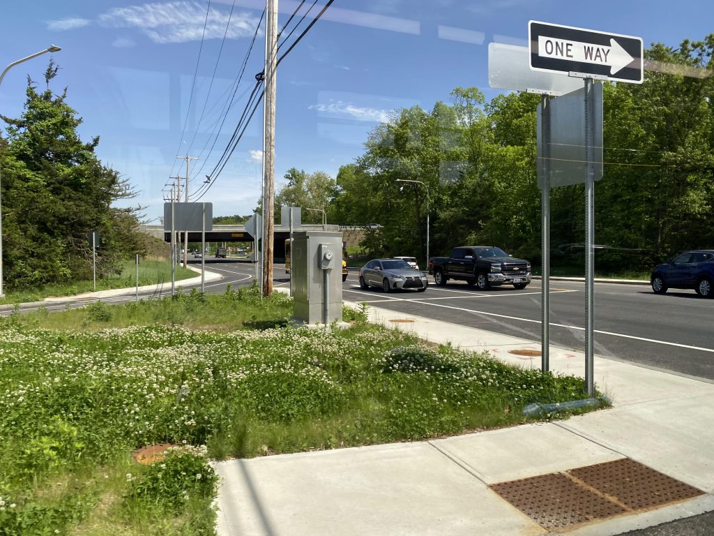
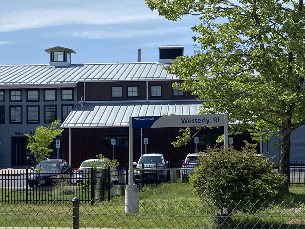
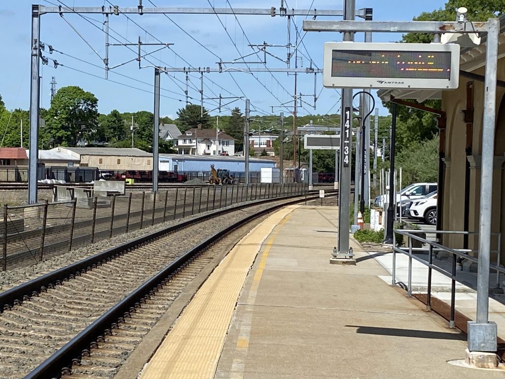
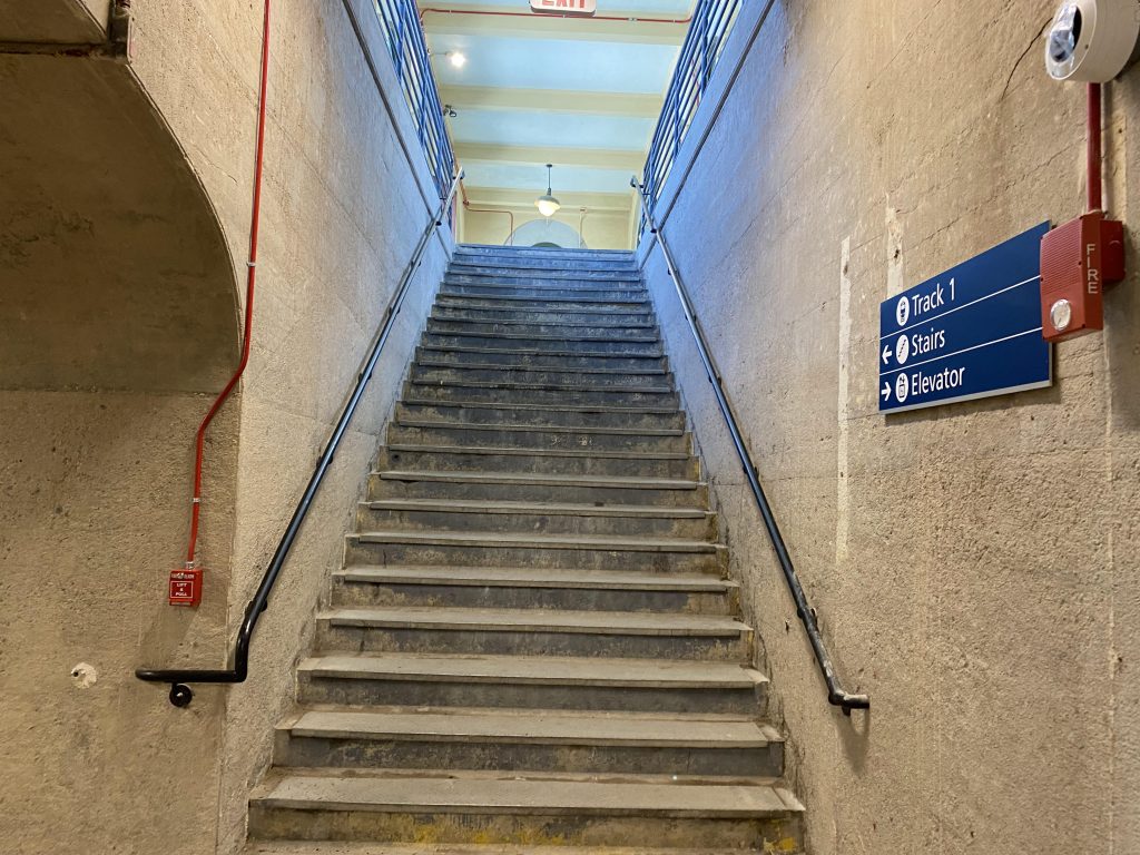
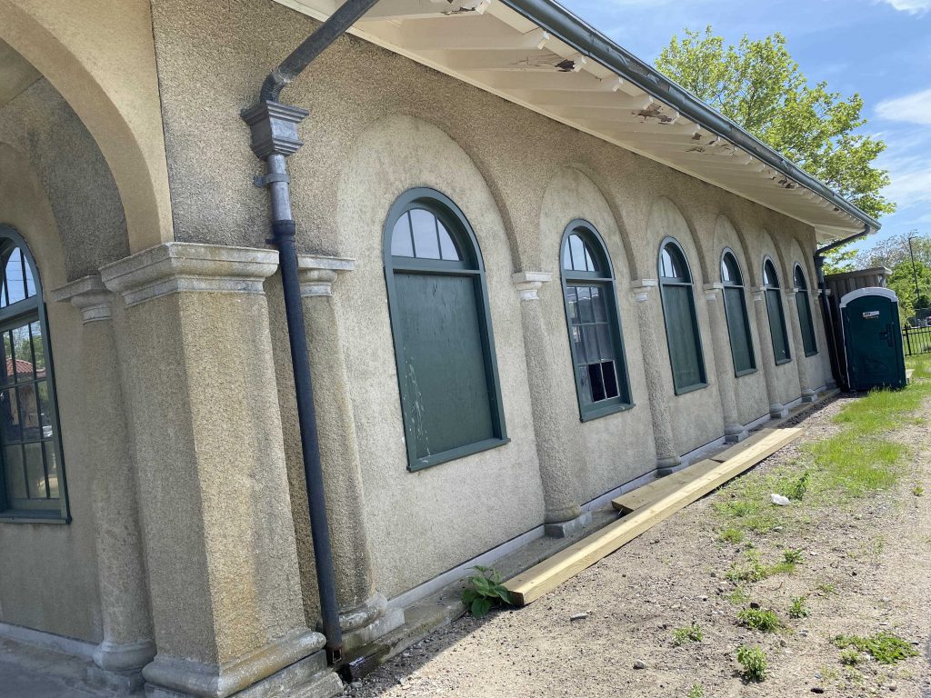
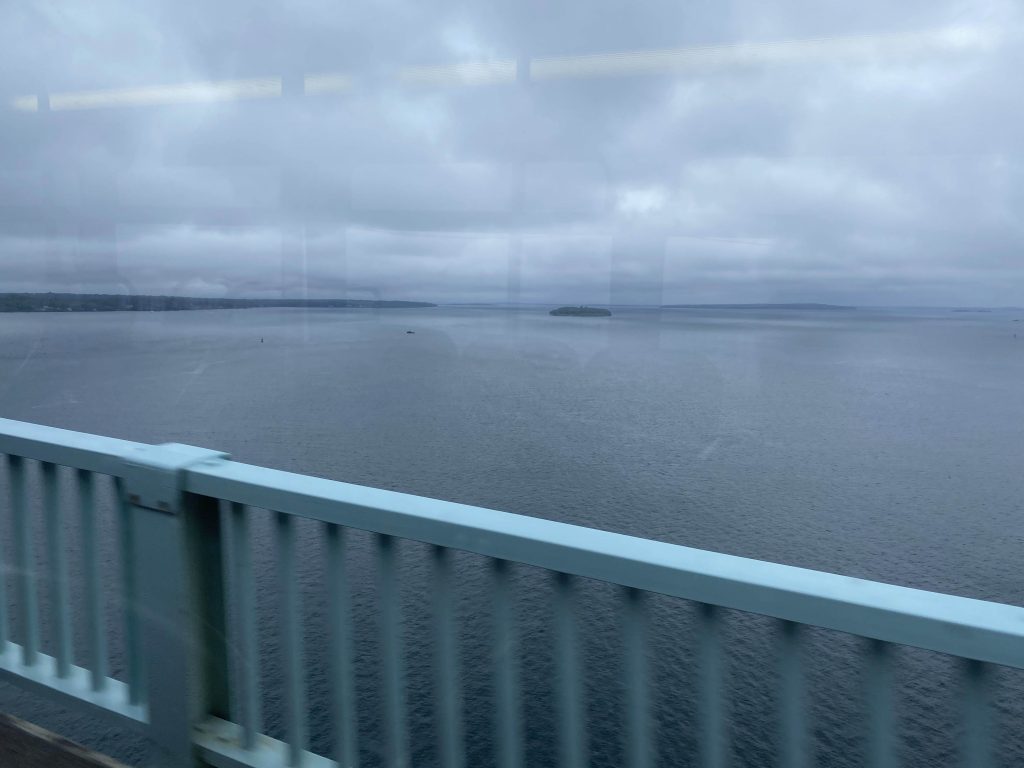
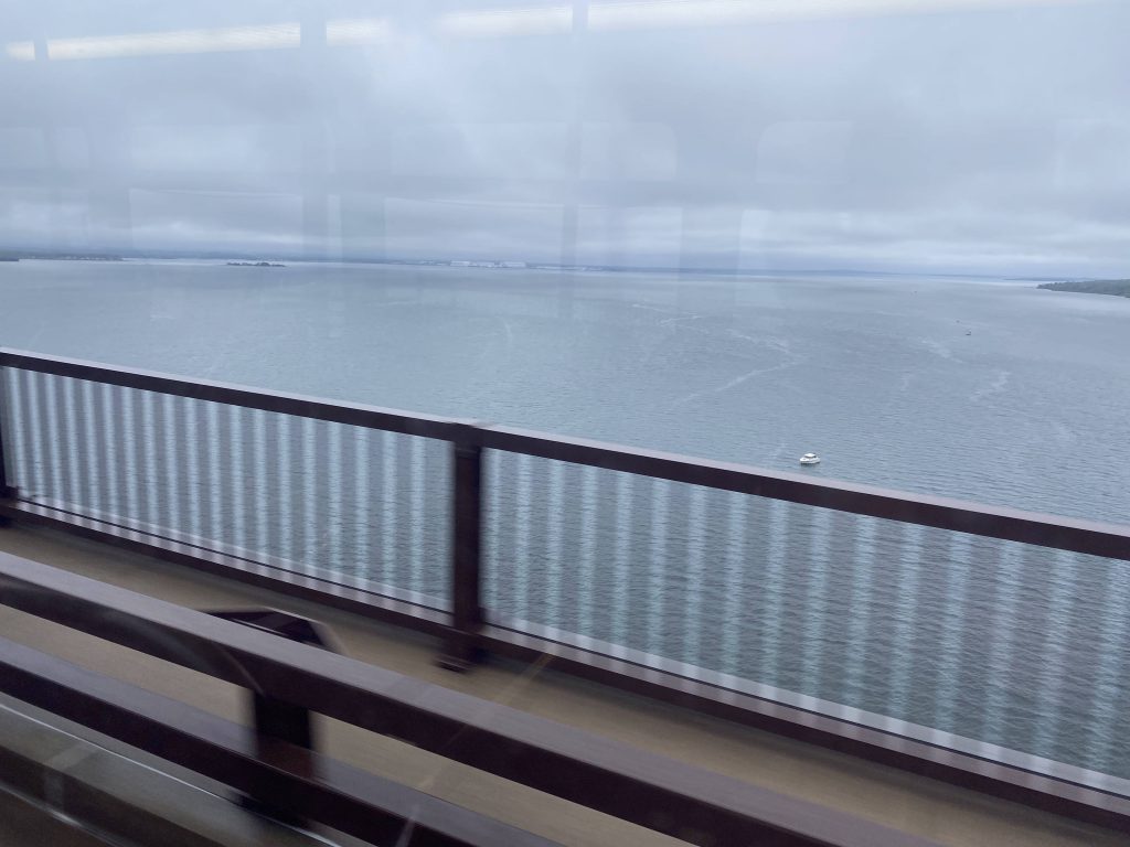
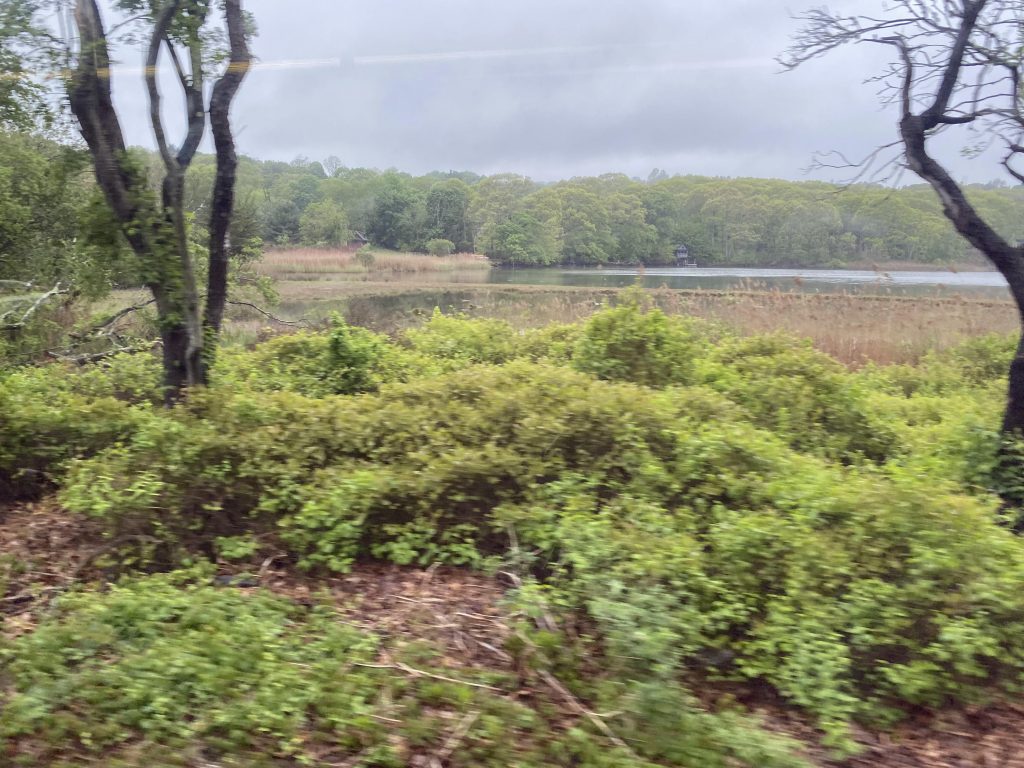
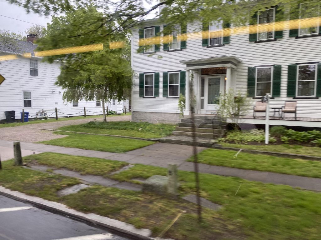
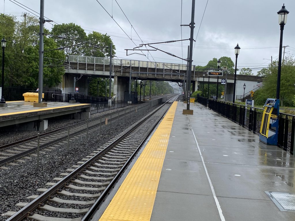
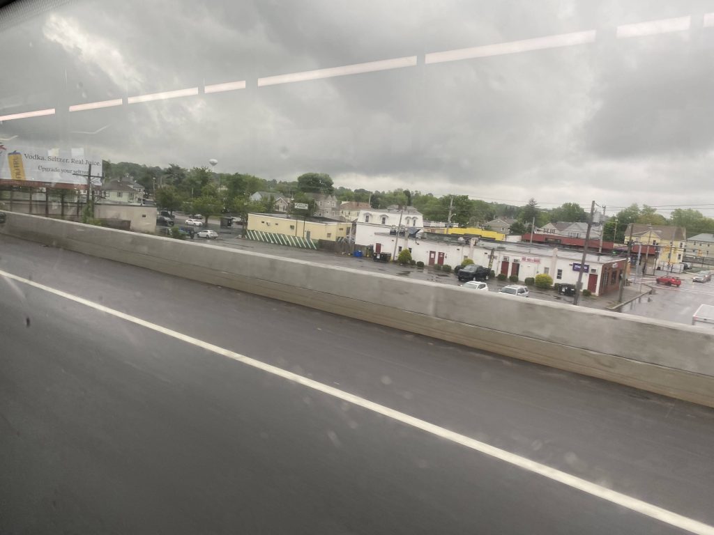
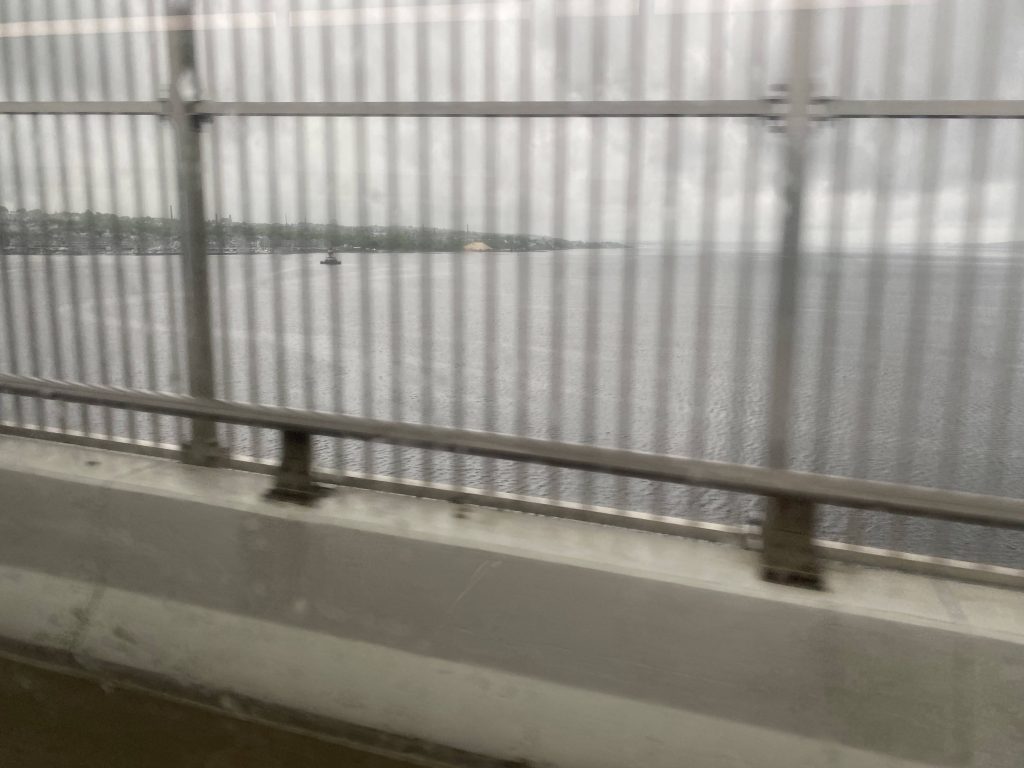
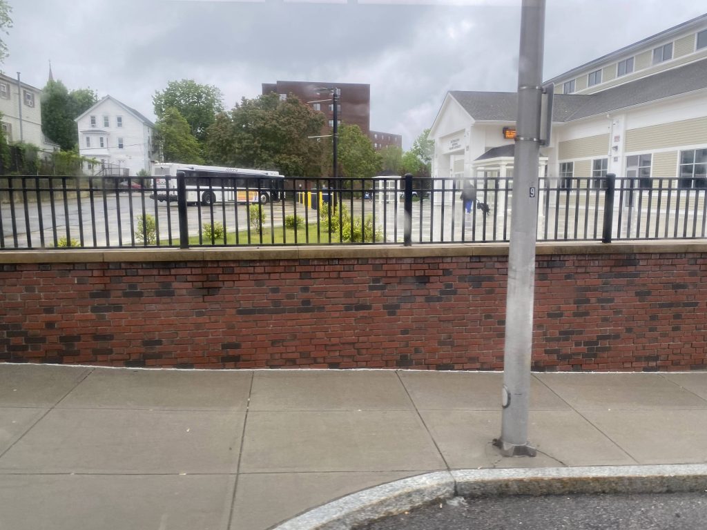
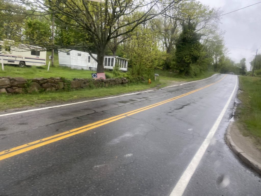
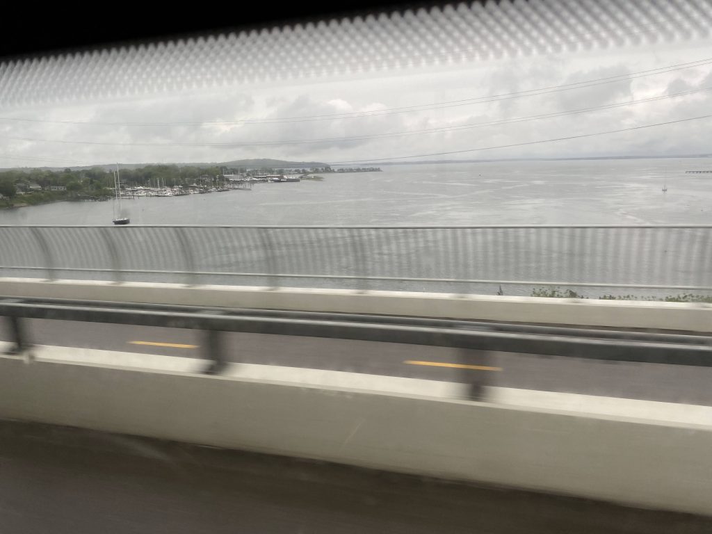
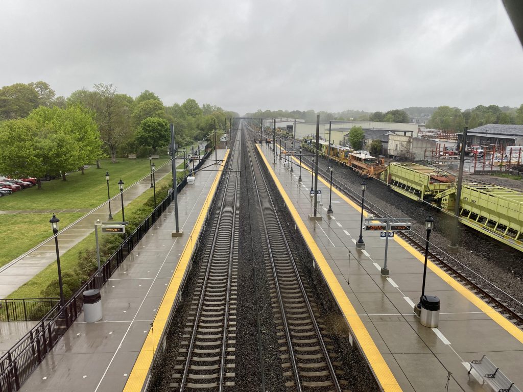
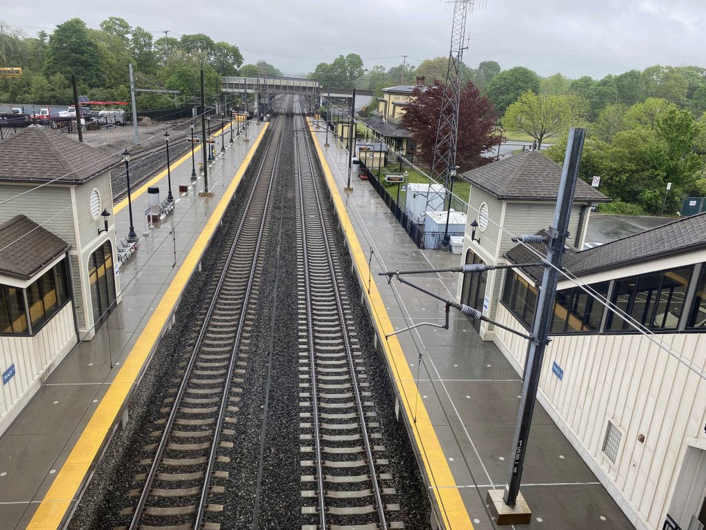
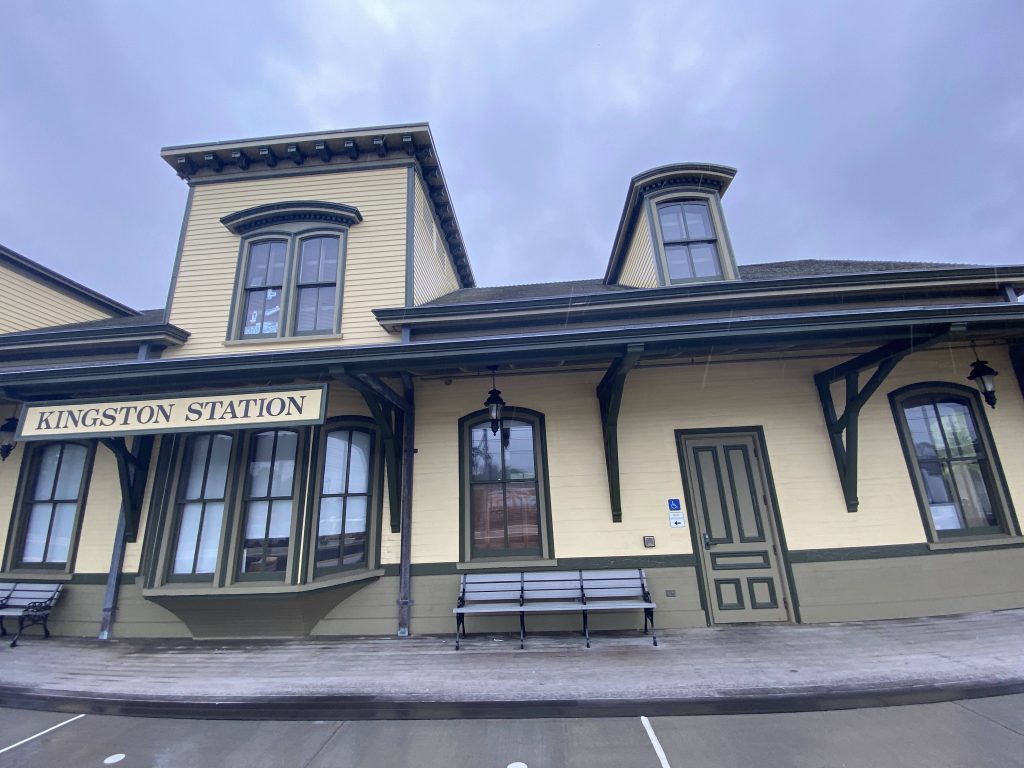
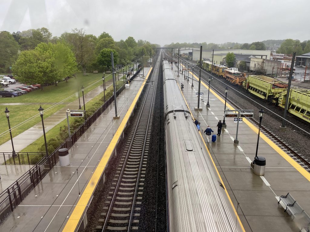
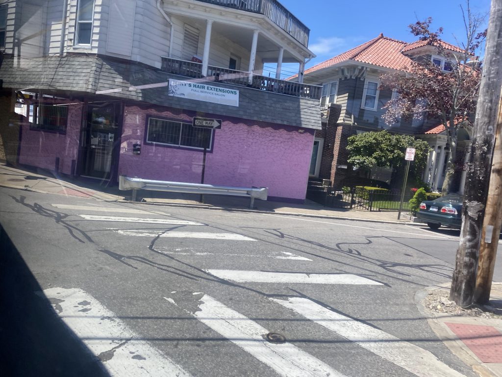
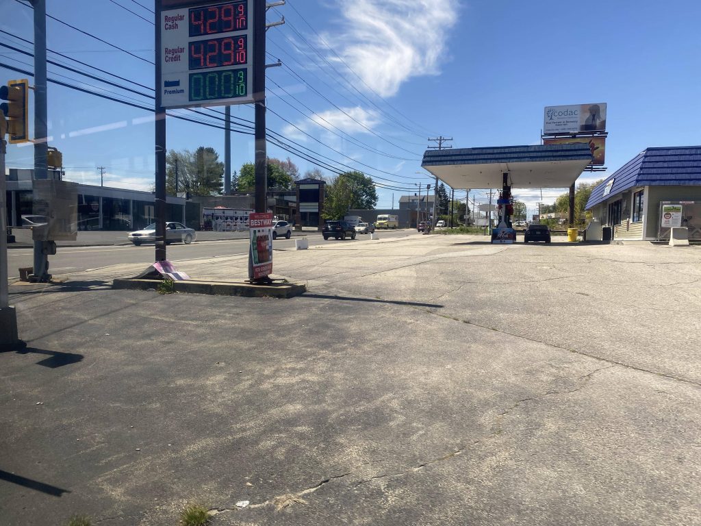
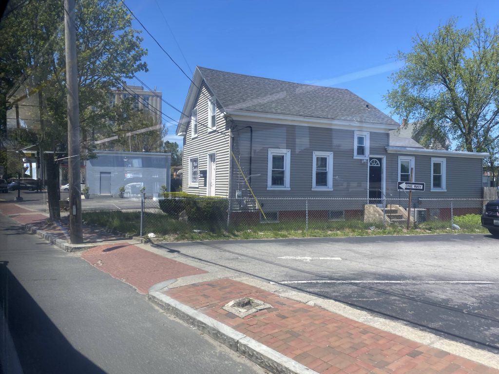
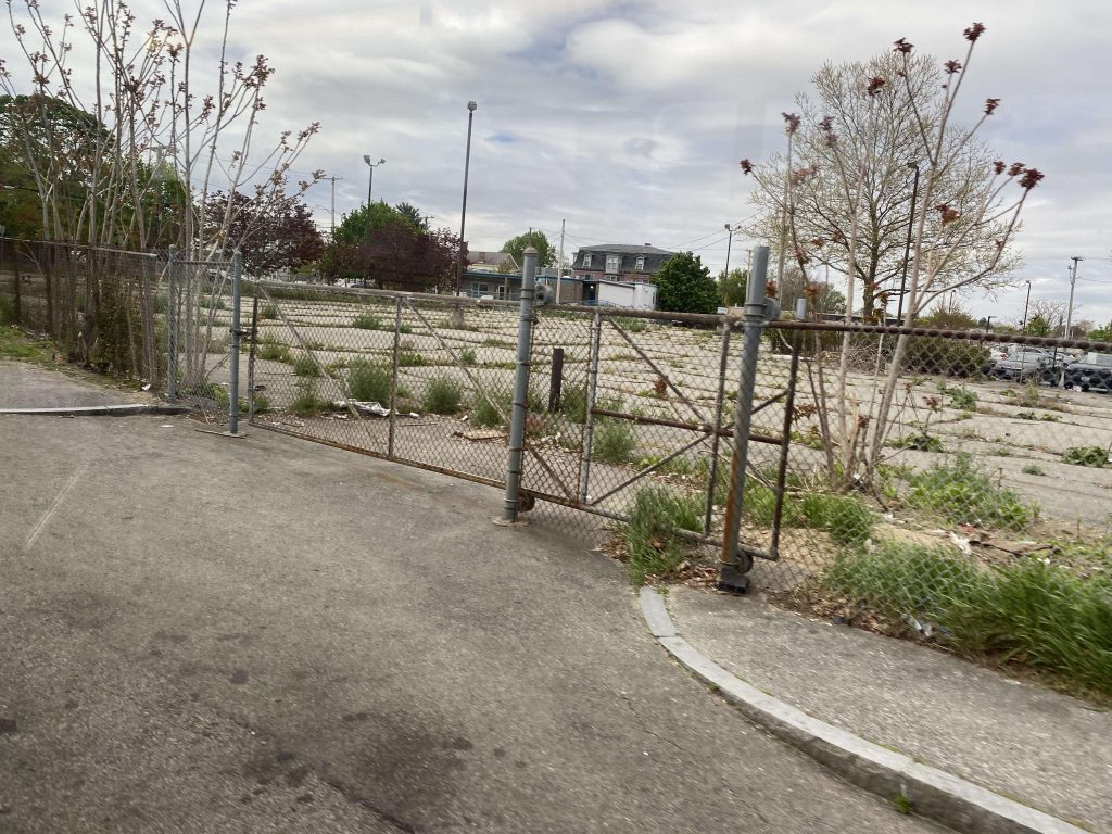
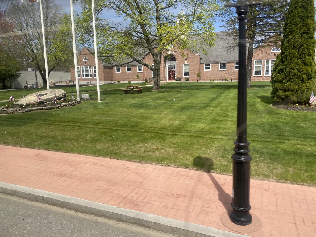
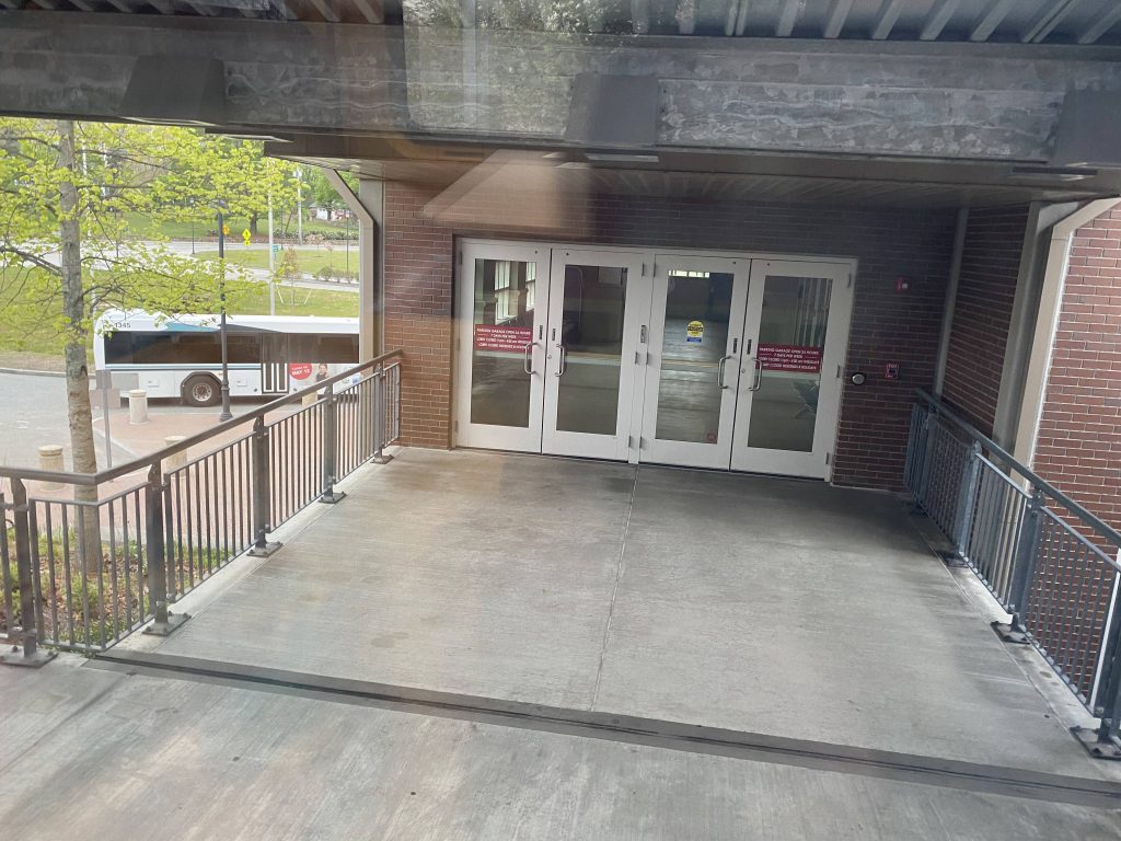
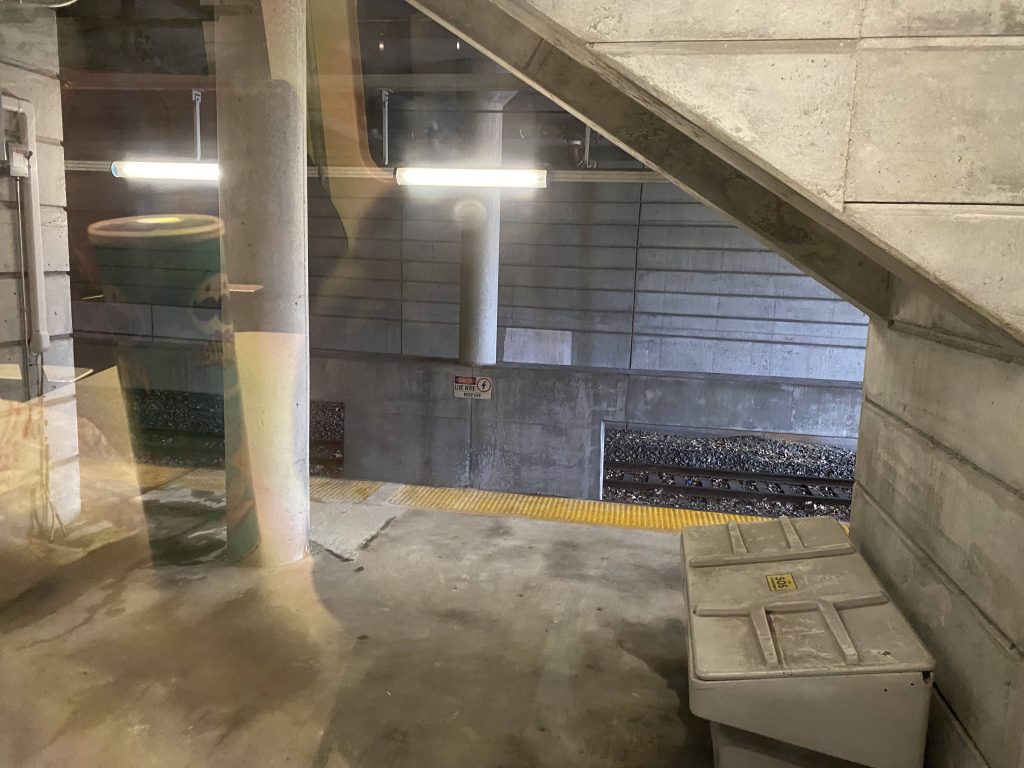
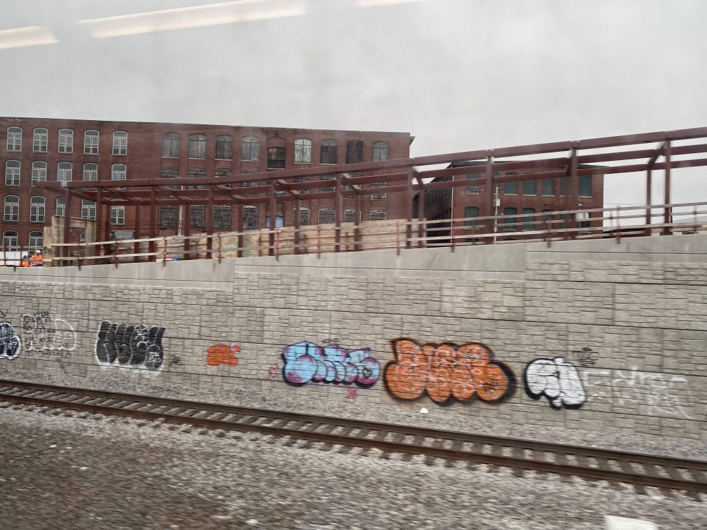
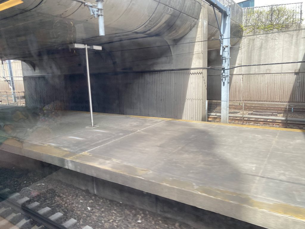
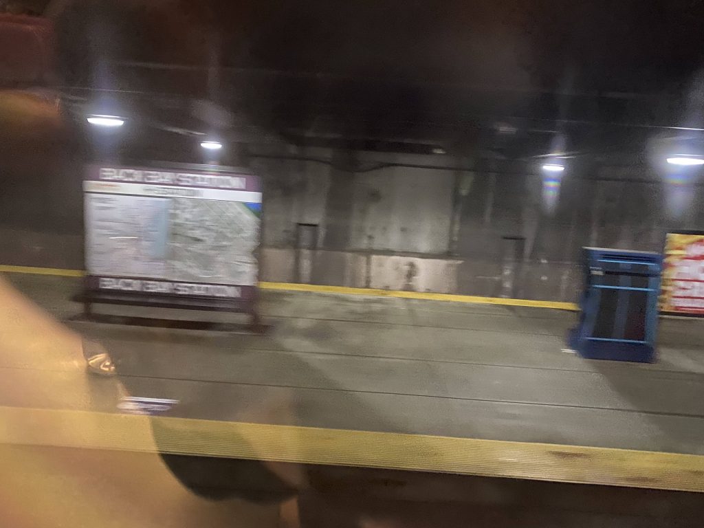
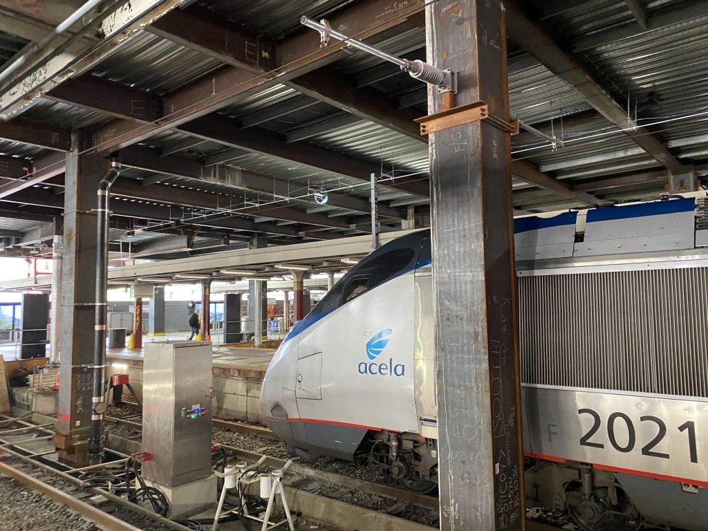
From here, we did NOT get back on the interstate. Instead, we kept going down Nooseneck Hill Road (same one as Exit 6!) The surroundings became more suburban in nature as we passed through Ashaway Village. It was quite a long ride still as we inched closer towards Westerly. Eventually, we did cross the Pawcatuck River into Westerly, but it was largely woodlands. Fortunately, it didn’t last too terribly long as we eventually reached High Street. From here, it was a straight shot, over the N.E. Corridor, and a right onto Railroad Ave. and we pulled into Westerly Station. Weirdly enough, the announcement didn’t acknowledge Amtrak’s presence, like how the Interlink’s announcement doesn’t mention the MBTA.

A grassy field!
A protective barrier on the overpass over the N.E. Corridor
So long…

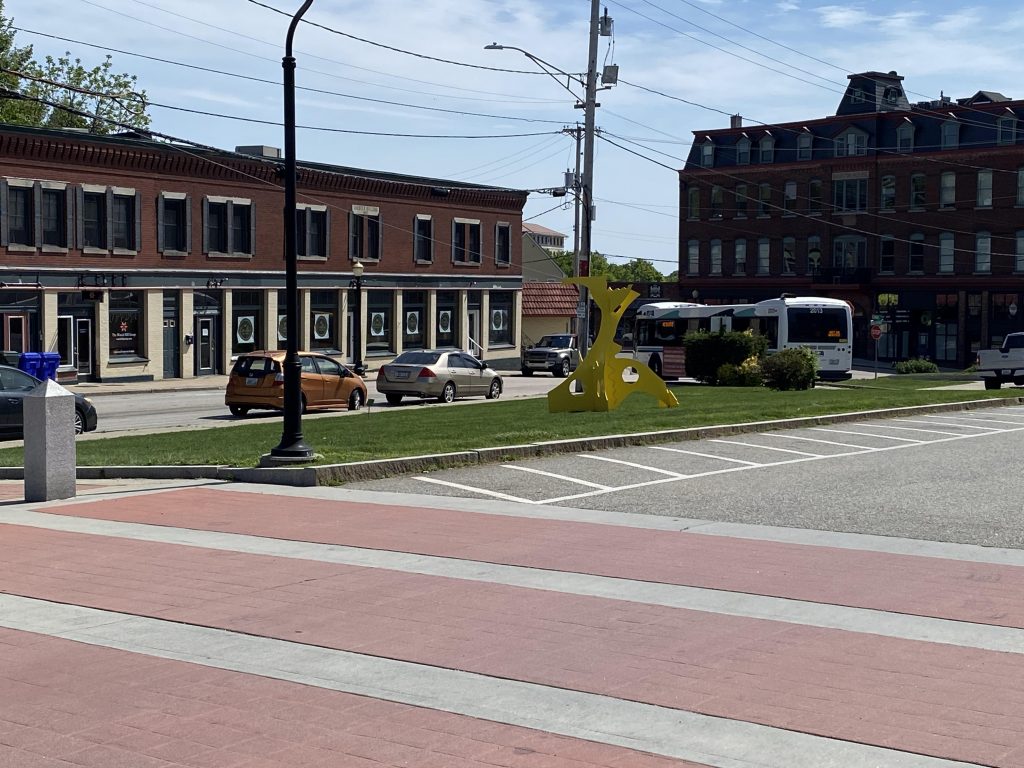
The good: It serves as a direct link to an otherwise unserved town. Seriously, why does a town as big as Westerly not have any transit? It also serves a number of park & ride lots right off I-95 that otherwise would have no service.

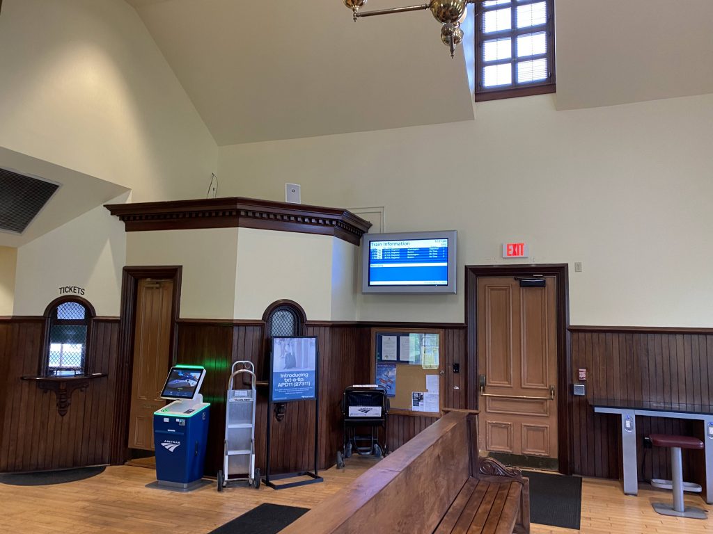
The bad: It’s infrequent. Like, it’s the only link Westerly has to the outside world save for Flex. And that, too, is infrequent. It also takes a really long time to get to Providence from here (1 hour by bus!), while the N.E. Regional costs $8 and can get you there in about 30 minutes. Furthermore, there’s only one P.M. inbound trip, which if you don’t take to leave, you better have a N.E. Regional ticket ready.

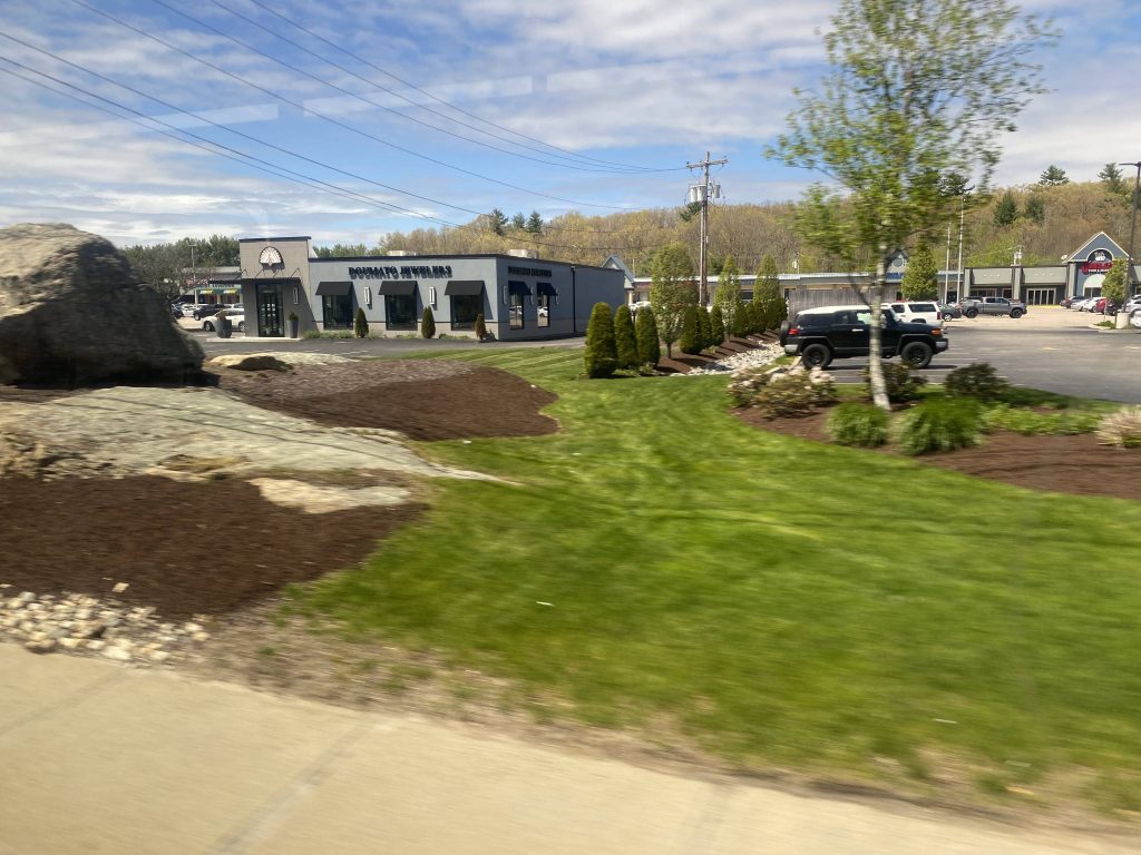
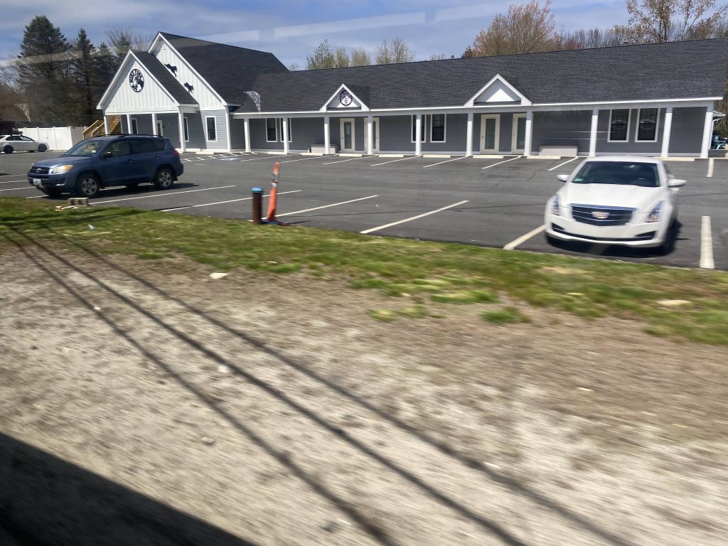
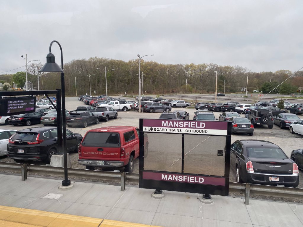
Nearby points of interest: Walmart is about a mile from the West Greenwich P&R lot. There’s also Providence and Westerly!

Overall, the route exists with good reason. While a regularly-running Narragansett/Westerly link would be better, this will have to do for now. Furthermore, it’s nice that it serves a bunch of park & ride lots that are otherwise in the middle of nowhere. It’s not exactly “scenic” though, and if you’re taking a bus to Westerly at 2pm, you better have an Amtrak ticket ready to return. Speaking of which, my 2pm trip had about 4 other people total, while the route typically nets about 90 people each weekday, being average for an express route. It’s just a shame that RIPTA basically did Westerly dirty with regards to transit, and I hope some day there’s a less convoluted way of getting in and out, because it’s really a nice town with a nice downtown and beaches.

Rating: 7/10

Westerly (Amtrak)

Well shoot, looks like I beat Miles (of Miles in Transit) to the punch with doing the least-used Amtrak station in Rhode Island. That’s right, I’m talking about Westerly. Let’s take a look.

There’s no escaping this one!

So, the station building itself is an art museum and, to my awareness, doesn’t house any facilities that would be valuable to the station. Need to use the bathroom? Good luck. Need to print out your ticket at a Quik-Trak machine? Not happening here. Is it raining? Tough luck. I’m sure you get the idea. Whatever amenities Kingston has, Westerly does not.

The Amtrak sign

Even getting down here to do this review was a bit of a chore. Of course, I was able to take the 95X RIPTA trip that departs Kennedy Plaza at quarter past 2. That was easy enough. The annoying part was having to plan ahead and buying an Amtrak ticket. Yes, it was also easy enough, but it’s still annoying to do given there’s not much of any way out of here. I’ll touch upon the 95X more in that route’s post.

Oh boy.

Now, bearing the fact that the station building is an art gallery, which is not open 7 days a week mind you, let’s look at the platform itself. There’s a handful of benches, mostly out in the open. There is, however, a small sheltered area on the far side of the platform, but from what I’m aware it only exists on the northbound side. Now, you might be asking “Well, how do I get over to the other side?! I can’t simply walk across the tracks!”, and that’s a good question. Access to the other side is provided by either stairs, or an elevator that’s out of service. Oh dear. The tunnel was nice and cool, and it happened to be the only area with cameras.

Down to the underground!
The tunnel!
And back up!
The building with the stairs on the southbound side

The good: It’s centrally (mostly) located in Westerly! There’s also some of everything nearby!

The bad: It’s not ADA compliant. Yeah, that’s a major one. I assume it’s temporary, but it’s still a major problem. There isn’t even a mini-high, and I wouldn’t trust the wheelchair lift with anything on it. There’s also pretty much no transit connections out here, making it even worse than Wickford Junction in this regard. At least THAT had regular service 7 days a week!

Nearby points of interest: Downtown Westerly! There’s also the local beaches if you take a 10-15 minute drive south. If you’re going by Amtrak or RIPTA, there’s Providence and Boston to the north, and Connecticut a stone throw away!

Transit connections:
Amtrak (Northeast Regional)
RIPTA (95X, 204 Flex, 301 Rural Ride)

Overall, Westerly could be a nice station. It’s got everything to be your typical historical old station, but yet it fails in some critical ways. For one, it’s not even ADA compliant. There’s not even a single mini-high to be seen here, AND the elevators don’t work! Yikes! That’s all in spite of the renovations that happened since Miles did his review! But, downtown Westerly is nearby if you’re visiting, so there’s that. And the fact people use this station shows there is demand for some kind of transit in Westerly, with ridership clocking 45379 people in 2019 (or, around 124 a day), making this the least-used train station (Amtrak or MBTA) in all of Rhode Island. The lack of transit connections (and transit in Westerly in general) is also a major blow to this otherwise quaint little station.

Rating: 3.5/10

A fun bonus: a Flex van coming up towards Railroad Ave.!

64 (URI/Newport)

So, for linking the West Bay to Newport, there’s not many frequent options. There’s the Newport branch of the 14, which I’ve taken a look at already, and that only comes by every 2 hours on weekdays, but every hour (mostly) on weekends. But that’s between downtown Providence and Newport, via Jefferson Boulevard and US-1. What if you wanted to get to Newport from URI, though? Meet the 64.

Buses at the Newport Visitors Center

So the route leaves the Visitor’s Center and pulls into a side street. From here, we kept going up Third Street, until we took a right onto Admiral Kalbfus Road and went 3/4 of the way through a roundabout. From here, things got a bit crazy with deviations. If anything, I’d count this as a double deviation. So, we went the 3/4…..to serve Newport Towne Center at Stop & Shop and Walmart, and then went further up Coddington Highway to deviate into CCRI’s Newport campus. Then we went all the way down, 3/4 of the way around again, and then started an express (tolled!) section on RI-138. From here, we stayed in the right lane and got on the Newport Bridge and crossed into Jamestown. Unfortunately, due to the poor weather, the views weren’t as great as when I did my 14 Newport post. However, we largely went the same path, just in reverse this time. That included going by the toll plaza, past what looked like some McMansions, the downtown area of Jamestown, and back up North Road onto RI-138. From here, we were on the Jamestown bridge after one exit. The express was short-lived, as eventually we made another deviation – this time into the US-1A park & ride lot. Of course, unlike when I did the 14, noone got on here.

The state flower!
Look, a Dollar Tree!
CCRI’s Newport campus, the newest of the four campuses
The Newport Bridge
A flooded island near the Jamestown toll plaza
Wetlands in Jamestown
The Jamestown bridge!
A not so great shot of the US-1A park & ride

From here, it was a straight shot down Boston Neck Road, as we went through wilderness upon wilderness. We eventually reached a red light that we turned left at, to deviate into URI’s Bay Campus. Noone got on here either, so we went back around and went straight at Bridgetown Road. We eventually reached another park & ride lot, this time at the intersection of Bridgetown Road, US-1, and RI-138 at the Hannah Robinson Tower. Don’t ask me what’s up with the tower, though, as I don’t know.

URI Bay Campus
A lake by Bridgetown Road

From here, it was basically a straight shot to ….the train station??? Yeah, the route doesn’t terminate at URI but rather Kingston Station. It’s mostly woodlands from here until URI, with some houses and businesses mixed in along with other college-related stuff. Eventually we deviated into URI to serve the bus stop at Memorial Union, at which point the driver asked me and the other guy if we wanted to get off. I looked at the other guy and said “Nah, I’m heading to the train station.” and the other said “Yeah, me too.” Guess the driver usually has someone getting off at URI. We went down Lower College Road and took a right back onto Kingstown Road. From here, it was a straight shot to the train station, as it was the end of the route.

Some stuff near URI
The bus stop at URI Memorial Union
The route’s terminus at Kingston/URI Train Station

The good: It links Kingston Station with Newport via URI! It’s also scenic.

The bad: …except this thing never comes. It’s got lackluster scheduling (every 1hr15 on weekdays, and every 2 hours on Saturdays, and no Sunday service!) and an insane amount of deviations. Now, I can see the appeal of a one-seat ride to Walmart or Stop & Shop, but who wants to wait however long for the return trip to URI or Jamestown? And if it’s Walmart, why not just take the 66 to Wickford Junction and walk? Now, I get there’s the whole “what if you can’t walk?” argument though, and that’s understandable. But like, 1 hour and 15 one way is a bit much to wait for the next bus. If you’re trying to get to Newport from Jamestown for a connection to either the 60, 63, 67, or 68, just take the 14 instead as it’s more direct.

Nearby points of interest: Kingston/URI Train Station, as well as URI itself. There’s Jamestown, and the various deviations in Newport. Plus, the bus connections at the train station and URI, along with the ones in Newport.

Overall, it’s a bit of a doozy to ride, but it’s a necessary connection. My biggest gripe is the fact it never comes. Try, every hour and 15 minutes, with 2 hour service on Saturdays, and no service on Sundays. Do people just not travel on Sundays? The ridership figures reflect the poor service too. How about, 158 people average weekdays in 2019? Yikes. I’m sure if it ran more directly (and maybe express past the park & ride? Dunno how many people use that as an alternative to URI parking) it’d likely be higher. And, why does it need the deviation sensation in Newport?! Is it trying to be the 63?!
Rating: 4/10

24L (Providence/Newport/Fall River)

So you want an “express” trip into Newport? Well, let’s see… Hmm… Well, the 14 needs to serve Jamestown and North Kingstown. The 60 can’t go express because of the East Bay’s roads. The 64 already takes forever as-is to get to Kingston Station. Oh, what’s this? We have an interstate and a nearby city that could easily be connected to RIPTA? Let’s do that instead! And thus, the 24X (aka the 24L) was born.

Providence City Hall!
The Garrahy Courthouse
Fox Point!

The route boards at stop X in Kennedy Plaza, like all other expresses. However, if you’re using Wave, it’s special as it costs $4 to ride, rather than the standard $2. However, it still (to my awareness) costs $2 if you feed cash into the farebox. With the administrative stuff away, we depart and turn onto Dorrance Street. However, unlike the local routes that serve this street, we don’t have any stops here. Well, I lied. There’s one, being at the intersection of Point & Eddy Streets. From here, we turned right onto South Water Street and got on the interstate. And away we go! From here, it was pure interstate for quite a while, as we went through East Providence, Seekonk, Rehoboth, and Swansea. Eventually though, we made a deviation into the Somerset Park & Ride lot! To my awareness, though, only RIPTA and I think Peter Pan serves the lot. We then pulled out and got back on the interstate and kept going towards Fall River, and we got on the Braga Bridge and HOLY CRAP WE’RE SO HIGH UP! But that was short-lived as after we crossed the Commuter Rail tracks, we went under City Hall and made our second deviation into the Pettine Transit Center, SRTA’s Fall River hub.

East Providence
Seekonk, Massachusetts!!!
Wetlands near Somerset
Braga Bridge!
The Pettine Transit Center, and a SRTA bus!

After parking in one of the spots and waiting a little bit, the driver kicked the bus into reverse, honked the horn a bit to alert oncoming traffic, and hailed Mary to pull out. Thankfully, we didn’t hit anyone or anything, but it was a bit scary. This wasn’t the driver’s fault either, as that’s how the SRTA hub was designed. From there, we got back on the interstate, and soon enough we were on MA-24 (and soon, RI-24) and eventually we crossed back into Rhode Island. What’s this? Another deviation?! Oh my!

Another park & ride?!
The long and quiet Fish Road

Yeah, turns out we had to serve the Fish Road park & ride lot, which allows for connections with the 61X (if, for some reason, you’re inclined). But since noone got on or off here (I was the only soul on the bus other than the driver), we pressed on back onto RI-24 and HOLY CRAP THE VIEWS WOULD BE AMAZING IF IT WASN’T RAINING OUTSIDE!

I have never been in this part of RI before, on God.
The express section ended shortly after

However, the express section ended shortly after and we were on West Main Road. However, unlike the 60, we don’t make local stops here. Instead, we just trucked down West Main, skipping the Bay View Apartments deviation and the 63’s Oxbow and Stop & Shop deviations. However, we also didn’t stay on West Main all the way, instead turning onto Coddington Highway, passing both the Middletown RIPTA garage and CCRI’s Newport campus. We then went sorta-express again, but to get to Farewell Street. From there, we made it into the Newport Visitors Center, at the end of the last outbound run of the morning.

A bunch of buses

The good: It’s fast! That is, on outbound trips. Inbound trips often get bogged down by the perpetually clogged westbound 195. It also links two major cities via a third one that’s otherwise unserved (or not very well connected).

The bad: Inbound trips can oftentimes run in excess of 20 minutes late due to traffic on 195 that’s seemingly perpetual. Also, what’s with the $4 fare on Wave?

Nearby points of interest: Pretty much the entire RIPTA and SRTA systems, and the cities of Providence, Fall River, and Newport

Overall, it’s a great route. It really is. The concept of having a Fall River-centered route linking Providence and Newport is a great idea, and I think RIPTA executes it well with the 24L. That being said, what’s with the difference between cash and Wave fares? Now, I completely get that express routes are intended for commuters. However, I can’t help but get the feeling that this route would do well enough with non-peak service too. Maybe change to be half-hour during the morning/evening rush, with non-peak service being every two hours? Unfortunately ridership data isn’t published for this route quite yet, as it was created in 2019, so I don’t have any concrete data that would back this up. It’d at least allow for more intercity travel options. But overall, it’s a great route, and I think you (the reader) should check it out for your next trip to Newport.
Rating: 7.5/10

Kingston/URI (Amtrak)

Alright, second Amtrak station post! Now, as the title of this post will suggest, Kingston/URI is near, you guessed it, the University of Rhode Island, in Kingston (a village in South Kingstown). It’s not close enough to be walkable, though (as the crow flies, being about 1.7 miles, with it being 2 miles on foot/by car). So, if you have a bunch of luggage, just pony up the $2 for RIPTA or however much an Uber would be. Anyways, moving from there, let’s get into the facility itself.

TRAIN APPROACHING. PLEASE REMAIN BEHIND THE YELLOW SAFETY STRIP.

Now, as for the station itself, we have a side and island platform, serving the north and southbound Northeast Corridor tracks, along with a side track. Yeah, I don’t know what’s up with that since all the trains are either on track 1 (southbound) or track 2 (pictured above, northbound). Further up the platform, there’s a staircase and elevator leading up to a bridge for access to the island platform for tracks 1 and 3. And, it was quite clean for a somewhat relatively heavily used station.

Up to the bridge!

From the bridge, one can see the Northeast Corridor tracks largely obstruction-free. Heck, on days with less than desirable weather (like today), it could even serve as an okay vantage point for railfanning. However, as far as I can tell, I’m not sure if it has any cooling, so I wouldn’t suggest sticking around for too long on hot summer days.

The tracks facing southbound
Facing northbound

Now, the station building itself is historic in nature. Quite gorgeous, too, I might add. What does it have? Well, there’s an Amtrak agent to assist people. There’s also two (!!) waiting rooms, one with more comfy-looking seats than the other. There’s also two inclusive (or gender-neutral, whichever you prefer to call it) bathrooms, a bubbler (or water fountain, if you’re from literally anywhere other than RI/S.E. Massachusetts/Wisconsin), and some vending machines. There’s also a pull-in area for RIPTA buses. Plus there’s a lot of parking, and when I was here the lots were filled up quite a bit. The ridership data seems to back this up, with ridership clocking in at just under 175000 in 2019, or about 480 or so a day on average.

Kingston!
The Northeast Regional, the only line to stop here
The information signage and the Quik-Trak machine
The other waiting area

The good: It serves a major area. I mean, yes it’s rural, but there’s also freakin’ URI nearby! It’s also a nice, quaint station. For railfanning, it’s also a pretty popular spot as the Acela expresses through here at its max speed of 150 miles an hour. Brochures for the RIPTA buses in the region can also be found here (from what I found, the 14, 64, 66, and 69, even though the 14 doesn’t stop near here).

The bad: Why doesn’t the MBTA stop here? I know, it’s an Amtrak station, but that didn’t stop them with Providence. They even have track 3 accessible by platform for exactly the kind of stuff the MBTA would do here. While I’m at it, why does the Transit Master Plan call for URI, not here, to be a major transit hub? Furthermore, there IS demand for the T to stop here, given the fact people get off at Wickford going inbound. Hell, one could theoretically make a case for the Shore Line East to stop here too but it’s not as big a case as the MBTA.

Nearby points of interest: URI, and not much else. There’s also Providence via the 66 and Newport via the 64.

Transit connections:
Amtrak (Northeast Regional)
RIPTA (64, 66)

Overall, it’s a nice station. Quaint, even. And, for the amount of people that regularly use the station, it fits the size perfectly. Hell, it’s a nice station even if you’re into railfanning. Aside from the lack of MBTA/SLE service, I got no complaints. Hell, the fact it’s accessible makes it better.
Rating: 8.5/10

River Works (MBTA)

So, you want the train to drop you off at GE’s River Works plant? Hmm… Well, let’s see, why not build a platform there and restrict entry/exit to keycard access?

Now, to address the elephant in the room, no, I can’t actually go to River Works. This is because I’d quite literally be stranded for hours. This is because the train only stops here at peak hours, plus the near-midnight stop.

The platform is completely low-level, meaning zero accessibility whatsoever. Not even a mini-high?! Like, c’mon the rest of the Newburyport/Rockport line is high-level, so why not River Works? Do people with disabilities just simply not work there? It’s also largely barebones with a shelter more typical of bus stops than a train station.

River Works station from outbound train, April 2015.JPG
The inbound platform, from Wikipedia

The other side is pretty much…..nothing. Yeah. There’s also a road to cross the tracks. Yikes.

The good: It serves GE’s River Works plant!

The bad: If, somehow, you were able to get off and end up stranded, you’re here for a looooooong time. You can’t even walk to the main street as both sides are closed off. There’s also proposals to open it up to the public, but none have been acted upon yet. It’s also not ADA compliant. Yikes.

Nearby points of interest: None. Literally, nothing. Unless you count the GE plant.

Transit connections:
Commuter Rail (Newburyport, Rockport)

Overall, the concept is good. But, like, just open one side up to the public. There’s an undeveloped lot and I’m sure the people in Lynn would be happy to have a train station. And put, at least, a mini-high! At least the ridership hints at the nature of this station – 27 as of 2019.

Rating: 3/10

Footnote: If I get the chance to actually visit River Works, I’ll re-write this review and likely update the rating. But, since I have to do this from an outsider’s perspective, it’s a 3 for now.

17 (Dyer/Pocasset)

So the 19 brought us to Walmart. But, what about its little, evil brother, the 17? Well, let’s get into that.

Leaving Kennedy Plaza

So both the 19 and 17 board at bus stop C at Kennedy Plaza, and they share quite a bit. What do they share? Well, let’s see. The bus leaves stop C and goes through downtown, following the same path as the 19. Even crosses the interstate and goes through US-6 twice. It also stops in Olneyville. However, that’s essentially where all the similarities end.

The interstate
Some businesses on Westminster St.
Construction on US-6
A Walgreens!

While the 19 continues down Plainfield St., the 17 instead goes straight down Pocasset Avenue. It was still largely urban businesses and housing as we kept going down the street. Eventually, though it became Dyer Avenue and we crossed into Cranston.

A business along Pocasset Ave.
A restaurant just before entering Cranston
Some more businesses in Cranston

Of course, from here we passed a graveyard and a ballpark, marking the end of the 18, and a transfer point. We eventually reached Cranston Street, which was one of two transfer points with the 30 outside of downtown. The other one would be coming up soon. As we went down Dyer Avenue, we turned right onto Park Ave. However, shortly after it’d become Phenix Avenue. This happened after the intersection with Park/Phenix and Cranston St., the other transfer point for the 30. As such, we were passing through the neighborhood of Knightsville. However, we weren’t on Phenix Ave for long, as we then turned onto Atwood Ave. and deviated into Stop & Shop, marking the end of the journey.

Chestnut Hill Ave.
Cranston St.
Gas station at Dyer and Park
Some housing near Knightsville
Stop & Shop!

The good: It serves a supermarket! And a half-decent one, at that! Yeah, Walmart has a lot but Stop & Shop generally is held to higher standards because, well, unions. It also coordinates with the 19 for high-frequency from Olneyville to Providence! There’s also a transfer point to the 18 as well.

The bad: I mean, if you want a faster trip into downtown, just take the 30 instead. Yeah it’s less frequent (every 50 minutes), but it runs express down US-6 and RI-10. With that, downtown traffic is just slightly more bearable.

Nearby points of interest: There’s Stop & Shop. I guess there’s also the various restaurants and businesses lining Park Avenue. As for Dyer Ave., I don’t know much. There’s also the stuff in Olneyville.

Overall, the route gets the job done. It serves areas that aren’t served (or are served hourly, e.g. by the 30 or 18). It’s nice how the Olneyville section is coordinated with the 19’s schedule for frequent service to downtown too. Ridership wasn’t bad, with a few people on my trip. 2019 stats have it at 1162 weekday passengers, which while still less than the 19’s, is still nothing to laugh at. But, if you’re in a hurry to get to downtown, just transfer to the 30 at either Park/Phenix & Cranston, or Dyer & Cranston.
Rating: 7/10

6 (Prairie Ave./CCRI/R.W. Zoo)

So, you want a route that serves the park, eh? Why not just take the R Line or 20? Hm, what’s that? You want a route that goes into the park? Alright, alright. Let’s see…We could either make the 20 deviate into the park, or create a new route entirely. Let’s just make the 6. And let’s have it deviate into the Liston campus. And terminate at an apartment complex when the zoo isn’t open.
And that’s probably how the 6 came to be. Let’s take a look.

“ROUTE 6. PRAIRIE, CCRI, ZOO.”

Well, the bus is a trolley replica. That’s a good start, but it’s normal for a route that serves a place like Roger Williams Park. So, we started moving and largely followed the same path the 20 and 22 does through downtown. However, we took a turn down West Franklin Street to run parallel to 95. From here, we took a turn down Point Street, then Prairie Ave. We followed the road, although while we were going to deviate into CCRI’s Providence campus, the road to it was closed, so we pressed on further. As such, the driver phoned dispach at this point as he was letting a person in a wheelchair off and notified them of the closure of Blackstone Street.

Kennedy Plaza from inside
The usual downtown affair
An undeveloped lot
Some houses

We kept going down Prairie Ave., with houses on both sides. Occasionally, we’d pass a business, community facility, or a playground. We did, however, pass by some schools after Thurbers Ave, being Roger Williams Jr. High and Woods Elementary. Soon enough, though, Prairie Ave. came to an end.

Playgrounds.
Fun fact, I had to get some blood tests done here just a few years ago!
A car shop near the end of Prairie
Broad Street

When we reached Broad Street, we just went straight and crossed the interstate. We then turned right into the park and soon enough we were done. We would’ve ended at the zoo’s front door, but I guess the driver didn’t feel like it. From here, began my relatively long trek to what I thought was the nearest R Line stop to get back downtown.

The interstate!
The bus laying over

The good: It serves the zoo! It’s also the only direct route into the park. It also serves a low-income part of the city! It also runs somewhat frequently (half-hourly!) to Roger Williams Zoo during weekday hours.

The bad: However, it falters majorly. Want to get to the Colony House complex? You’ve either gotta take an early morning or late afternoon/evening bus. Otherwise, you’re heading to the zoo. Even then, night buses just terminate at the CCRI Providence campus. Speaking of which, this is the only route that services it. So, if you need to get there and Blackstone St. is closed, you’re doomed unless you’re able to walk. Heck, the route doesn’t even serve Colony House on Sundays!

Nearby points of interest: The zoo, and CCRI’s Providence campus. That’s pretty much it.

Overall, the route does as it should. But, it falls horrendously with the sometimes deviation to Colony House, which should be an always deviation. Also, why doesn’t it serve it on Sundays? That seems weird. Ridership was plentiful though on my trip, with it clocking in at 334 people on average though. This puts it between the primary West Warwick/Coventry route (the 13) and the 32. But, if every trip serviced Colony House, I’m sure it’d be higher.
Rating: 5.5/10

9X (Pascoag/Chepachet)

Normally, you’d have the expresses that run down the interstate for most of the route, or if it’s in no man’s land, it’s for a short while.

Then there’s the 9X.

This route runs for miles and miles into the hinterlands, about as close to the CT/MA tri-point as a RIPTA fixed route will bring you. So, what does this route have in store? Let’s find out.

On the bus in Kennedy Plaza!

First off, this route is a bit special in the scheduling department. Every outbound trip has an inbound counterpart just before it. This equals out to three inbound trips in the morning, a midday inbound, and an evening inbound. It also equals two outbounds in the morning, the midday outbound, and three evening outbound. We good?

Inbound trips (credits: RIPTA)
Outbound trips (credits: RIPTA)

So, what does the route itself entail? Because we boarded at Kennedy Plaza, we got to skip the whole Downcity Loop bit and pull right out onto US-6. From here, we expressed all the way down US-6 and interstate 295 until we reached US-44 and Smithfield Crossing. However, unlike the 58, we didn’t deviate into it, instead serving the street outside. Also, the morning and evening rush trips deviate into the Citizens Bank call center on Greenwood Ave. But, since I was on a midday trip, the bus didn’t deviate. Eventually we deviated into a Stop & Shop????? Yeah, someone even got on here, which I guess means there is demand for a fixed Chepachet/Pascoag-Smithfield Crossing route.

We’re express, baby!
US-6
Some more expressing through Johnston
Interstate 295 near Smithfield Crossing
Apple Valley Mall
Look, a Dollar Tree!
Closer pic of the Tree
The back side of Stop & Shop

After the deviation, we turned right and then took another right. This time, it was to serve a small park & ride lot. We did, eventually, make it back to US-44. From here, we just booked it through the sizable village of Greenville, which doesn’t have full bus service for some reason even though it looks big enough for at least an extension of the 58.

Greenville!

Interestingly, the first announcement for each village along the route has the village name announced, with the dot-matrix headsign reading “Welcome to (village name)”. Weird, I don’t think it does it for any other route. In fact, it doesn’t. Nevertheless, we went back into the woods for a bit, passing by an antique mill and an old person home. Eventually, we reached Chepachet.

Antiques!
Welcome to Chepachet!
Some houses that were likely abandoned
More businesses

The route then took a right down RI-102 as we pressed through the woods further. However, instead of going straight, we instead took a right down a random side street then a left down Victory Highway. Eventually, we reached Mapleville Village.

Some more businesses again
No man’s land
A ballpark, likely for the local little league

Fortunately, we kept pressing on further. As we turned down Central St., we reached RI-102 again but kept going straight. We’d then be in Harrisville and, soon enough, Pascoag. Among the things found here were the town commons, a library, a gas station, a graveyard, some local businesses, and eventually the route’s terminus at Sayles Avenue.

A fenced off area
A nice-looking building. Forgot what it was, though.
A field with solar panels
A house!
A car pulling out in Harrisville
Some building near the local pond
Some woods between Harrisville and Pascoag
A house in Pascoag
The “park and ride” at Brigidio’s Market (Sayles Ave., Pascoag)

Now, if you want to know how I got home, see the 282 Flex post.

The good: It serves a grossly underserved part of the state. It’s rural, too, at that! It also gives Burrillville residents a link to downtown directly, and via a partly-on-foot transfer to the 58! There’s also the 282 Flex, which serves as an unofficial Woonsocket link. It’s a shame that the route has a commuter-only oriented schedule, as I’m sure more people would use it if it ran, say, even every hour and 15 minutes (or hour and a half). Hell, even if there was a local variant that ran up to Smithfield Crossing and deviated into the Stop & Shop that ran hourly (and timed in a way to transfer to the 58 comfortably), I’m sure people would use it. I mean, the fact someone got on at Stop & Shop of all places shows there’s some demand for a local Pascoag/Burrillville route.

The bad: I guess the worst thing is….probably the fact that the schedule is a little weird, even verseus the standard express affair (3 one-way trips during the morning and evening peaks). Like, I get it’s commuter-oriented and noone rides the route, though that could be a midday thing (for reference, as of 2019 the route had 93 weekday riders on average). Also, for a commuter route, why does it deviate into a Stop & Shop instead of looping around to get to the park & ride? And, what’s with the lack of park & rides? Still better than the 10X, which claims a freakin’ fire station is a park & ride.

Nearby points of interest: There’s a Stop & Shop in Smithfield, and Smithfield Crossing. Also, the things in Greenville, Chepachet, Mapleville, Harrisville, and Pascoag as well as in between the villages.

Overall, it’s an express route. It does what it needs to. And given where it goes and how often, it does a good job. But, like, there can’t be a fixed route between Pascoag/Burrillville and Smithfield Crossing at least? Or, from Pascoag to Woonsocket? It’s not bad, but it’s a headscratcher. Also, for an express, there’s not many park & rides along it.
Rating: 6/10

Providence/Stoughton Line (MBTA)

Oh, I guess I forgot to mention I’m not just doing RIPTA or RI-based reviews here! Whelp, here we go. First Commuter Rail line, and it’s the most accessible one for me. Let’s get into it.

The waiting area at Wickford Junction

I started my journey at Wickford Junction, bright and early. The ride to Boston South Station would be powered by a MPI HSP46 engine with a top speed of around 80 miles per hour. After boarding, and going to the backmost car, the train started moving. From there, and for the whole journey, the tracks largely follow the Northeast Corridor. The train went through North Kingstown and along Greenwich Bay in East Greenwich and Warwick at near-max speed. However, soon enough we started to slow down for the next stop.

Wickford from aboard the train
A poor-quality picture of T.F. Green, ft. my Gatorade and Pringles.

We eventually came to a halt at T.F. Green and picked a handful of people up. From here, it was a mostly straight shot to Providence. After a few minutes, we started moving again and we largely went parallel to Jefferson Boulevard. It was also largely industrial in nature from here to Providence. However, Jefferson Boulevard turned towards the interstate and we were soon met by Wellington Avenue. The engineer honked the horn several times to alert the workers at the Park Ave. bridge of the oncoming train, and we passed some freight stuff. We then hooked a left, passed an Amazon facility, alerted more crews of our presence, and went through Olneyville. Soon enough, we went under the interstate and Providence Place Mall.

Providence!

After dwelling for about 10 minutes, we departed from Providence Station. From here, we passed some businesses and apartments, the Pawtucket layover yard, and the Pawtucket train station that’s still being built (as of 5/12/22).

The layover yard
Pawtucket Train Station

From here, we booked it parallel to the state line, and we passed South Attleboro with no regard because the station was closed. From here, it was largely not scenic as it was mostly trees with the occasional house. We’d pass Attleboro and its town center, and Mansfield, going over Chauncy Street. It would also be here that we split from the Foxboro special event line.

South Attleboro
I spy a GATRA bus.
Mansfield!

Now that we passed the Mansfield split, we went right towards the next pair of stations. Namely, they were Sharon, and Canton Junction, where the main line splits from the Stoughton branch. It was still largely the same from here.

Sharon!
Canton Junction! Change here for Stoughton service.

We kept pressing on past Canton Junction, and eventually we reached a major park & ride. Namely, Route 128/Westwood. Not many people got on though, so after that we pressed into Boston proper.

Westwood P&R

We then entered the Southwest Corridor after trucking through some woodlands and now we were running parallel to the Orange Line. However, we still had one stop from here before downtown Boston, and two before South Station. Our first stop? Ruggles.

Ruggles’ platform

Not many people got on or off here, so we kept going. It was still much of the same, passing various Orange Line stops along the Southwest Corridor. Eventually, however, we reached Back Bay. This station is notorious for bad air quality and smelling like diesel fumes, and it was easy to tell. The smell permeated through the train car quite easily and made both my partner and I gag. A lot of people got off here, while not many got on. After a bit, we went down the final mile and made it to South Station, after two hours of riding.

Mmmmmmm, diesel fumes at BBY….
An Acela at BOS

The good: It links up Rhode Island and southeastern Massachusetts in a direct manner. It is also quite affordable relative to driving.

The bad: However, it takes a LONG time if you’re riding the whole route. My trip took two whole hours, while on the Northeast Regional and Acela it would’ve taken around 1 hour at most on the Regional (from KIN), and 40 minutes on the Acela (from PVD). Hell, even TO Providence, it’s still faster to pony up $2 for RIPTA’s bus route 66 – and THAT deviates twice! It’s also got some weirdness with fare zones vs. similarly-distanced stops on lines fully in Massachusetts. Why is Wachusett a zone 8 fare while T.F. Green, being about the same distance, a zone 9 fare?

Nearby points of interest: Well, you have the various towns along the route and whatever they offer. I can’t speak for between South Attleboro and Ruggles, but you have varying things like a Walmart in Wickford, T.F. Green at T.F. Green (duh), and downtown Providence.

Overall, it’s not that bad a route. However, it is annoying South Attleboro is closed (even if for legitimate reasons, as safety is no joke). Also, what’s with the mini-highs everywhere? One thing I’d change here, is to extend the line to Kingston/URI. But overall, not bad despite being the longest Commuter Rail route.
Rating: 8/10