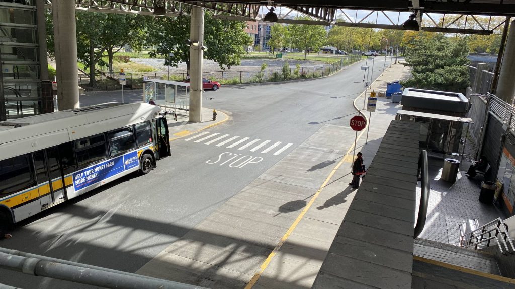
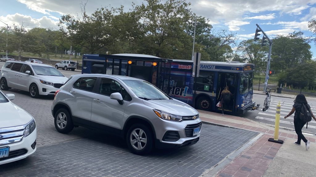
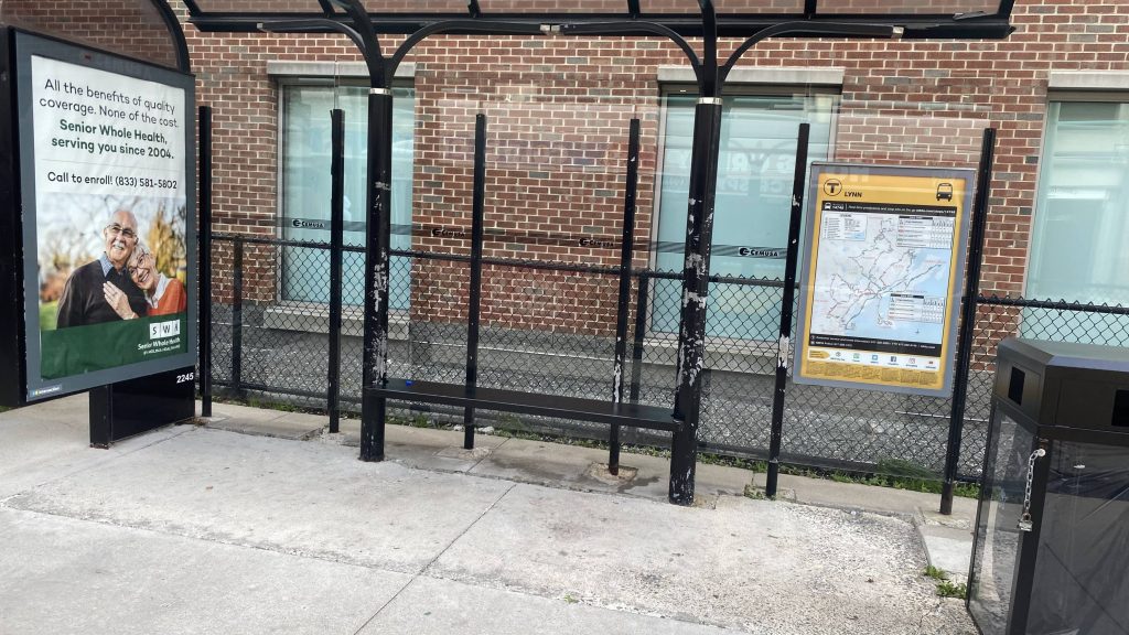
Alrighty, we’re heading to the North Shore! Original plan called for my friend and I to ride the SL3 and a Newburyport/Rockport train to Salem, but shit timing ended up leading to a Blue Line transfer at Airport. Shittier timing led to a 30 minute wait for the 455 at Wonderland. Eventually the bus arrived, and after putting up with a loud bunch of about 10 teenagers, they quieted down boarding the bus. Thank GOD.
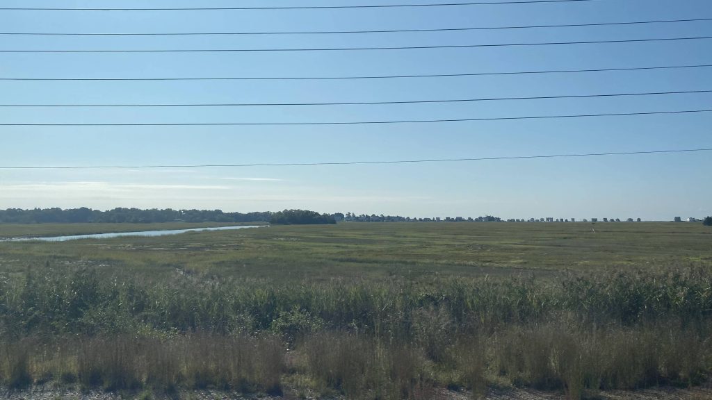
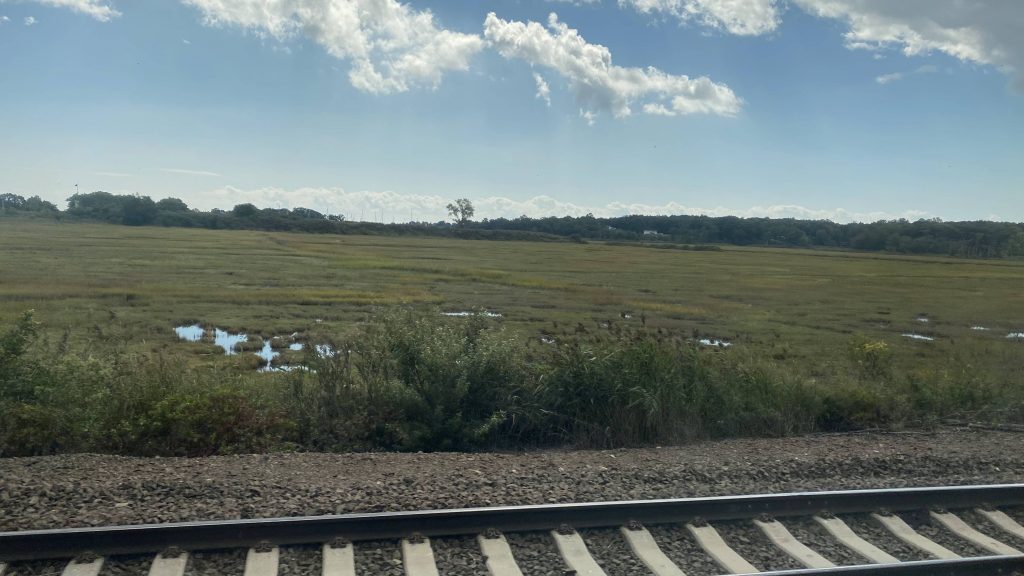
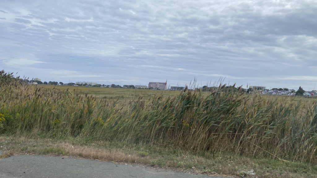
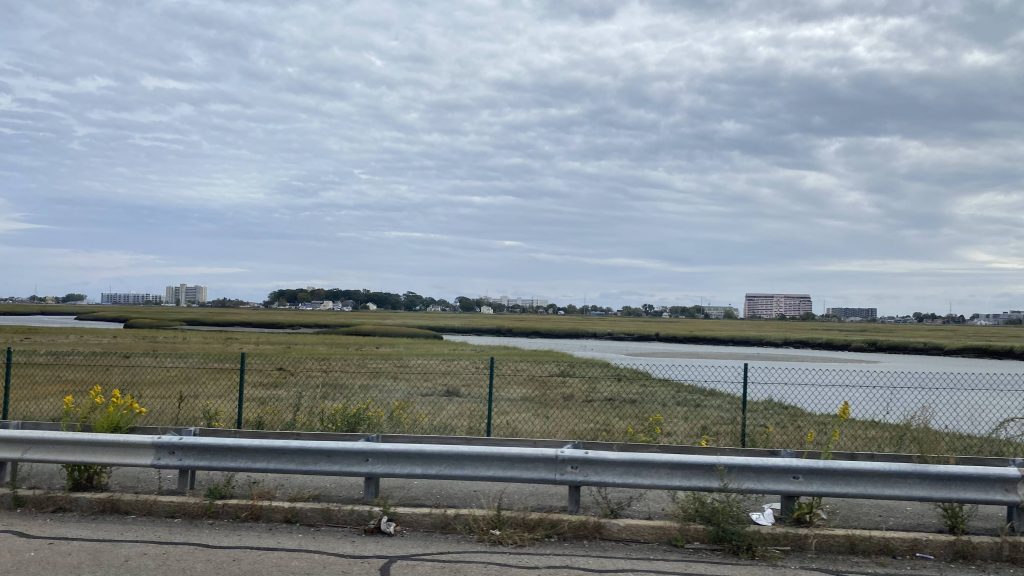
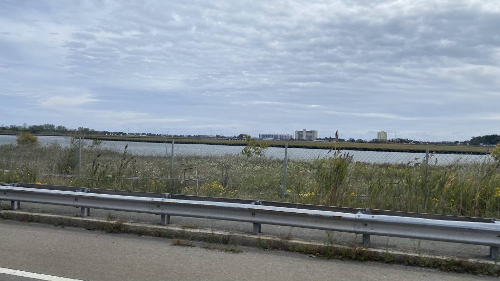
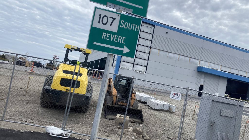
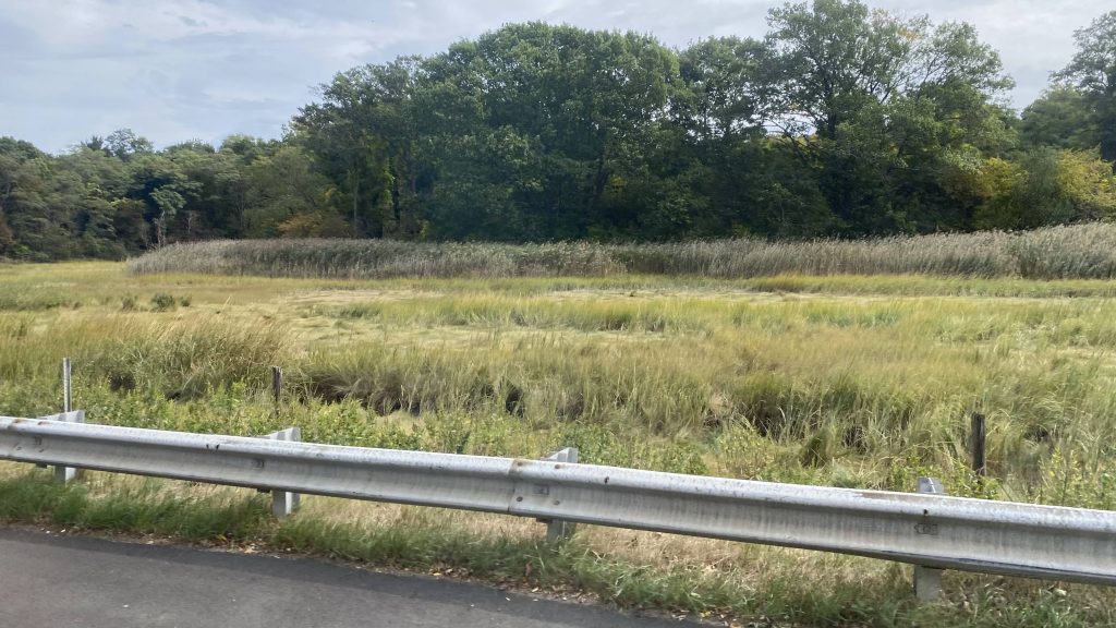
So, we pulled out of Wonderland’s busway and we made our way up to Revere Street. From here, we turned left, and picked up a few people. Fortunately, it wasn’t long until we went through a roundabout and on the Salem Turnpike, where the operator decided to hightail and floor it down Rte. 107 through the wetlands between Revere and Lynn.

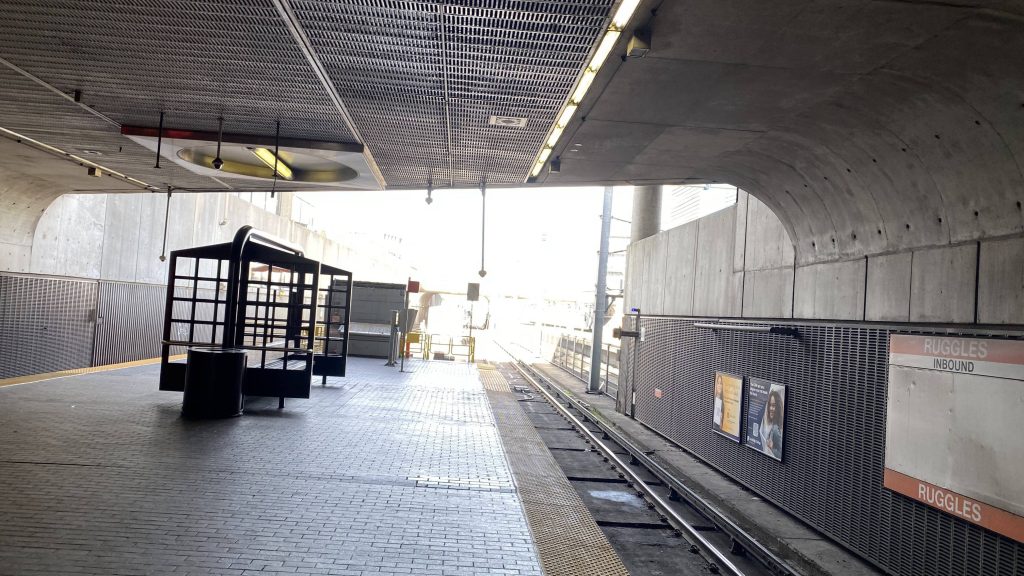
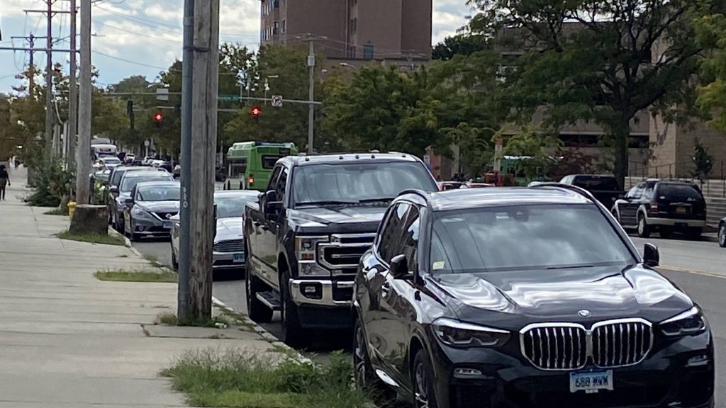
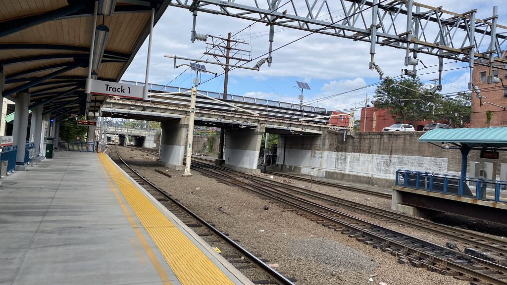
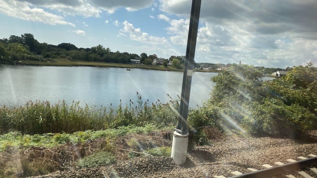
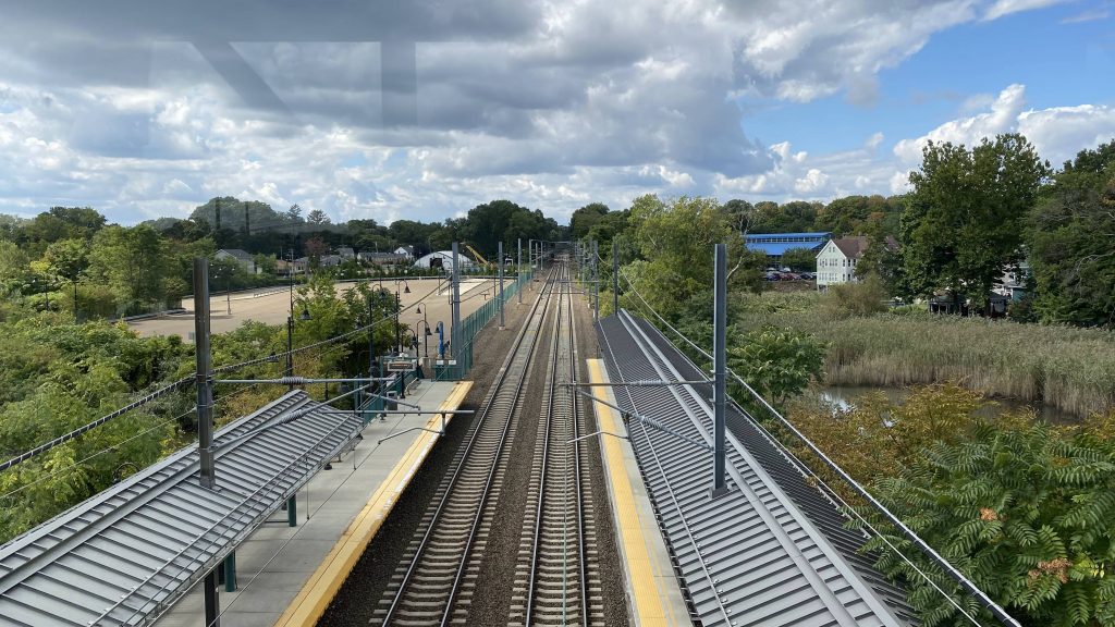
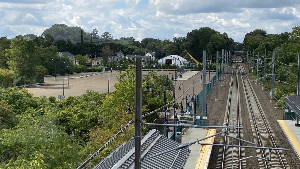
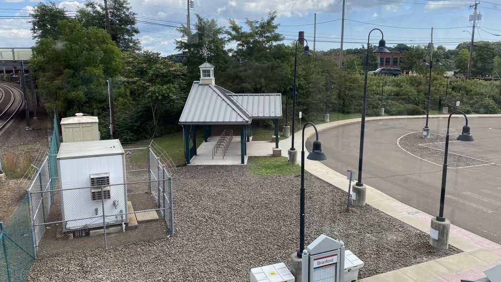
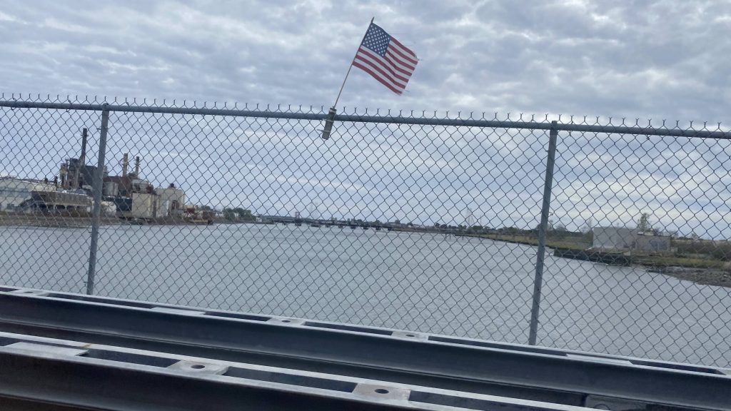
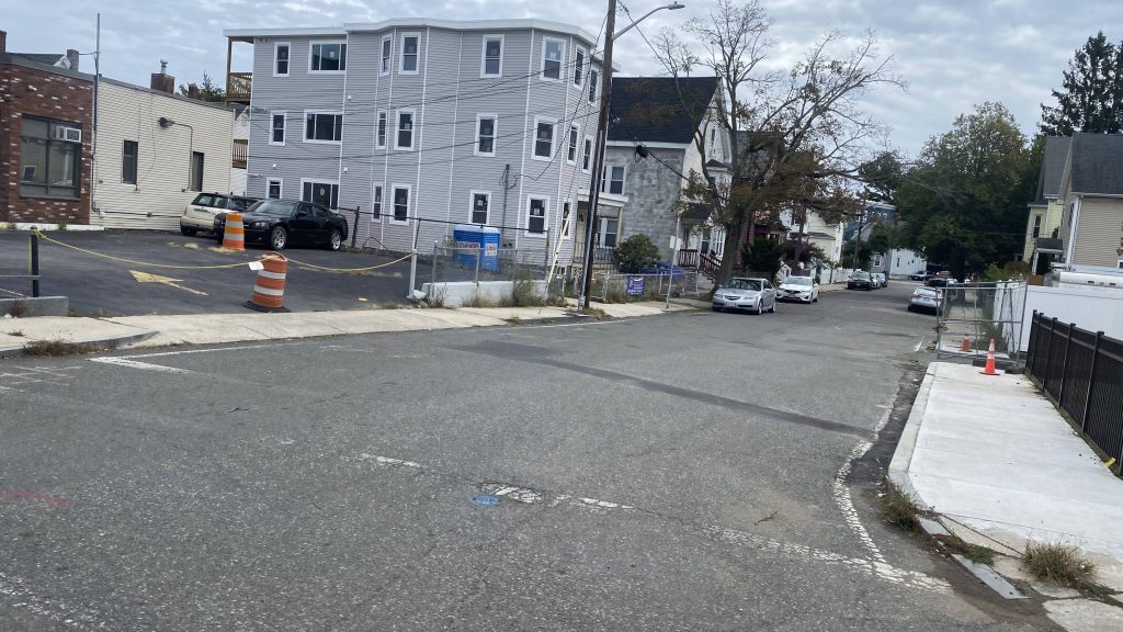
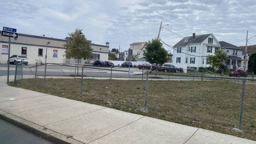
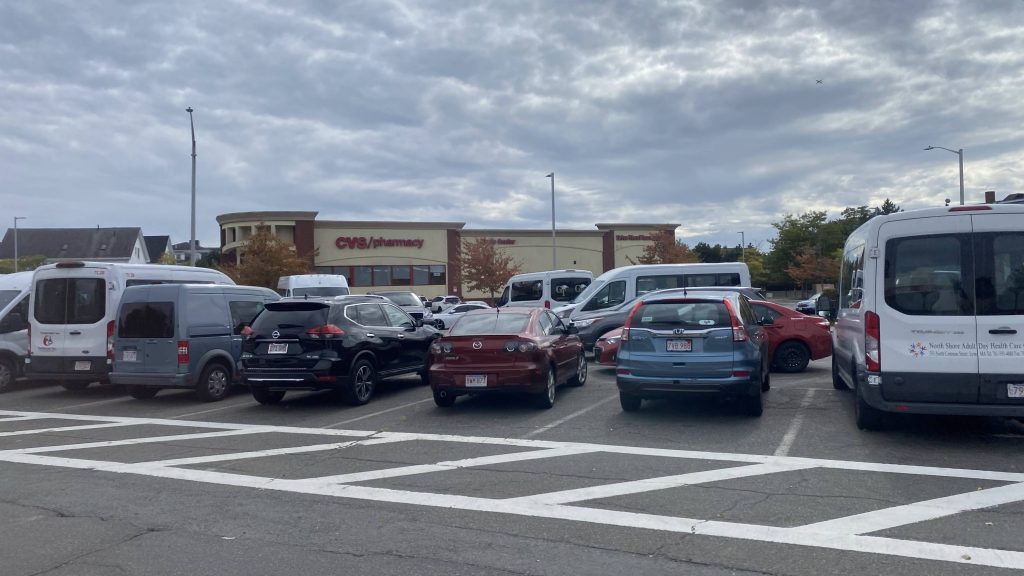
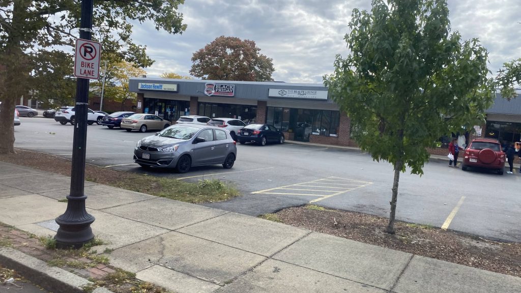
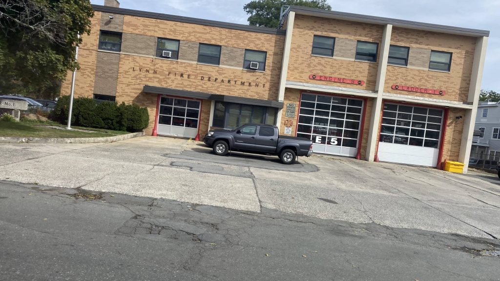
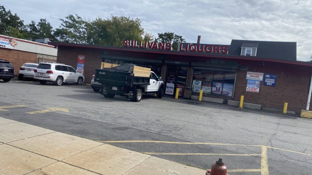
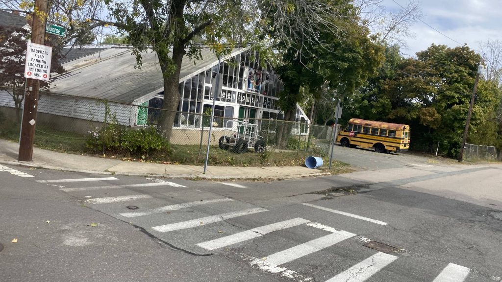
So we floored it, passing some buildings on either side, but no stops as this was essentially a highway. Among these buildings were GE’s Riverworks plant which also housed a train station. Naturally, no deviation. Now that it was Western Avenue, people were getting on and off, primarily for local travel within Lynn. It was a bit dense, about as much as Revere, and to be honest this place could use a Blue Line extension with a stop or three. Of course, this route wouldn’t be complete without us going down Center and Market Streets, deviating into the Lynn Center busway. Yes, people got on here. No, noone transferred to the Commuter Rail which was expressing (station closed a day prior for repairs). Nevertheless, we pressed on through Lynn, as well as Swampscott, by following Union and Essex Streets.
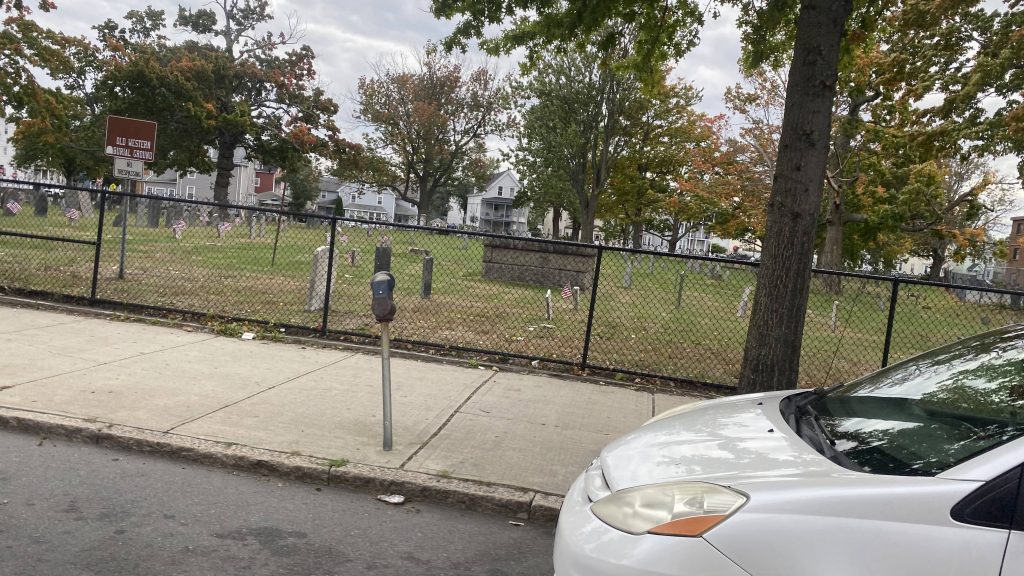
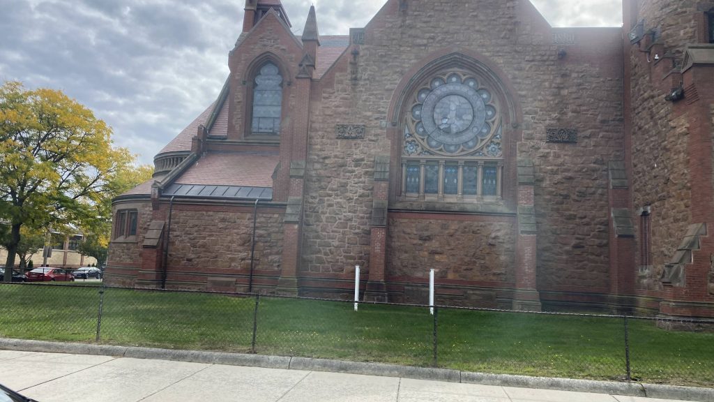
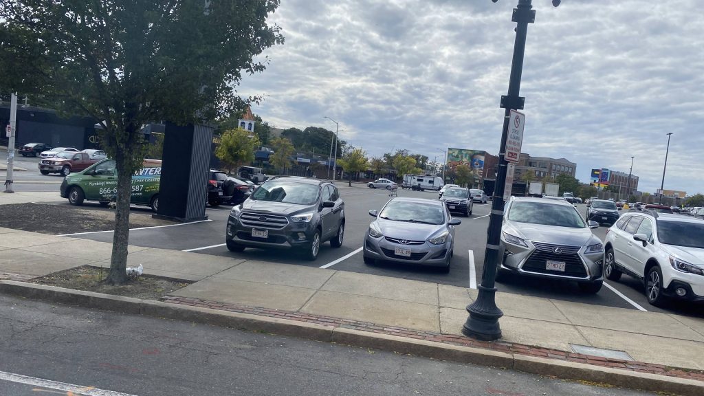
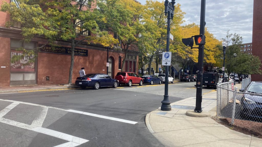
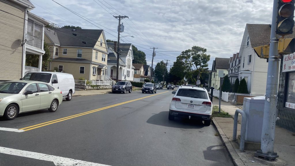
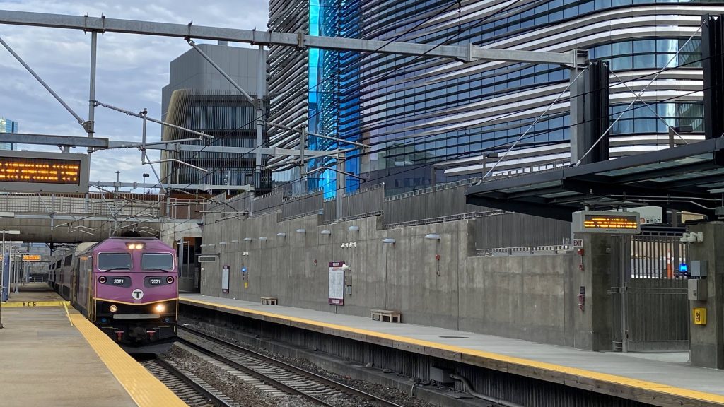
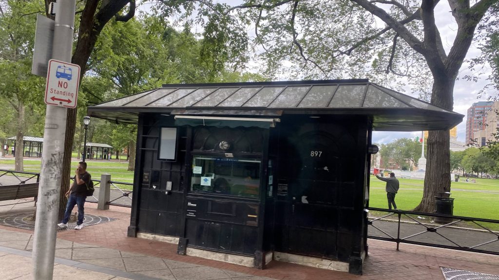
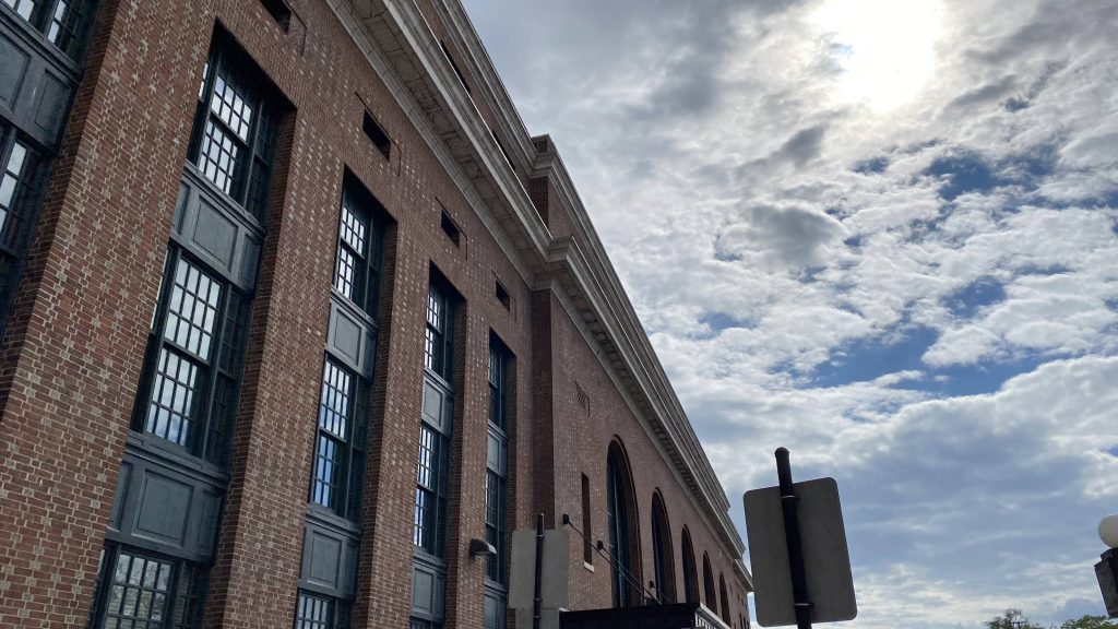
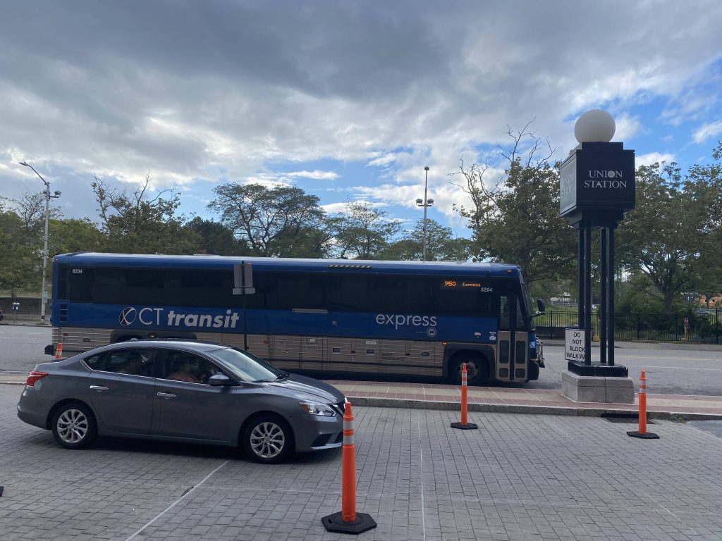
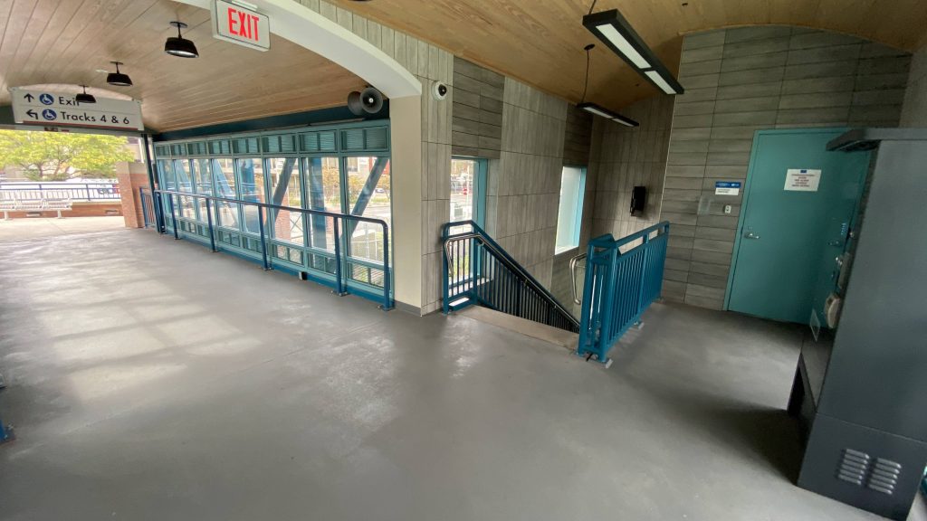
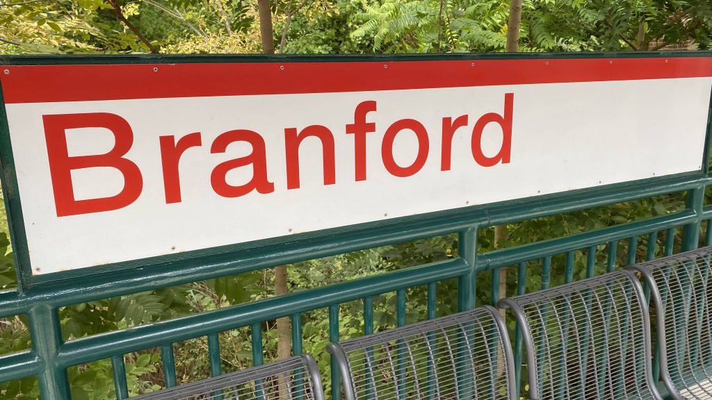
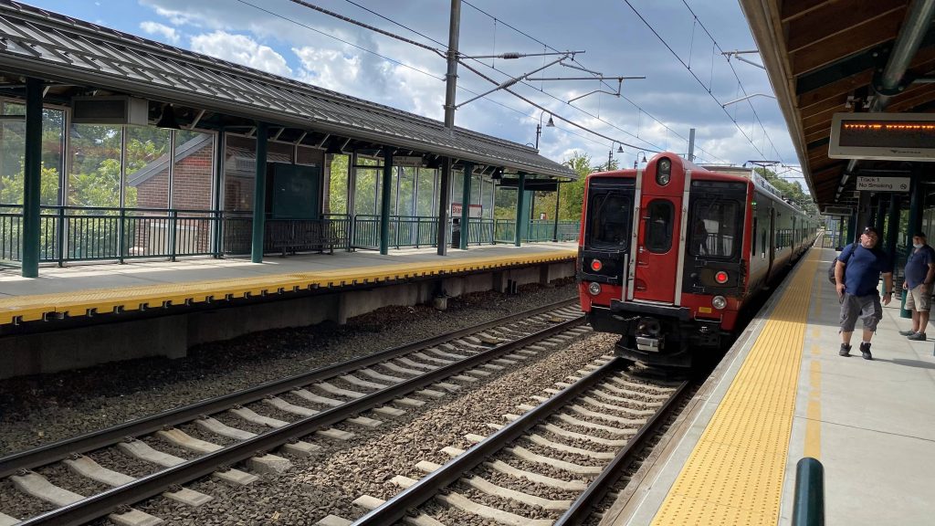
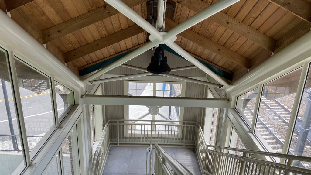
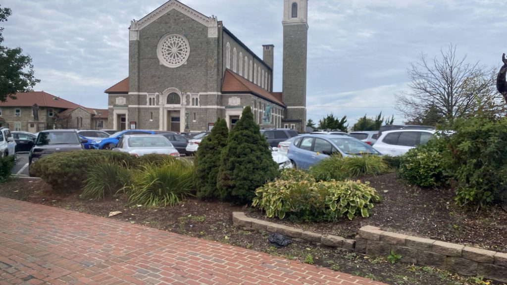
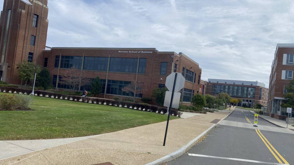
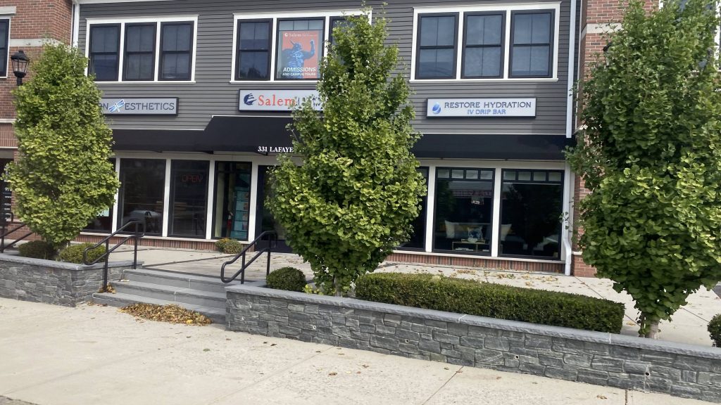
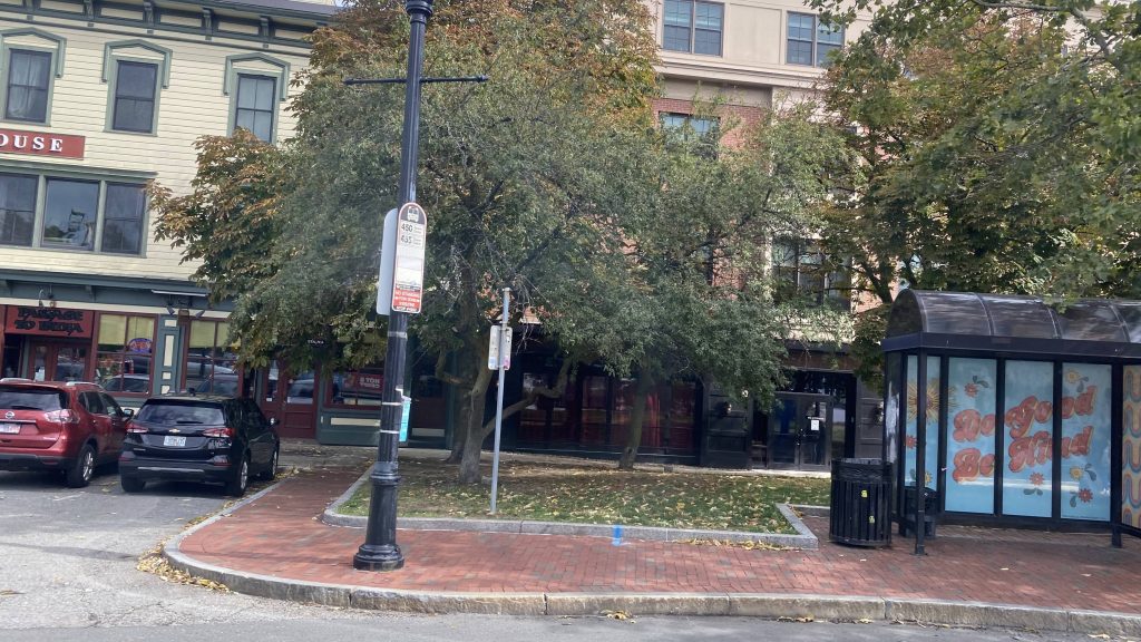
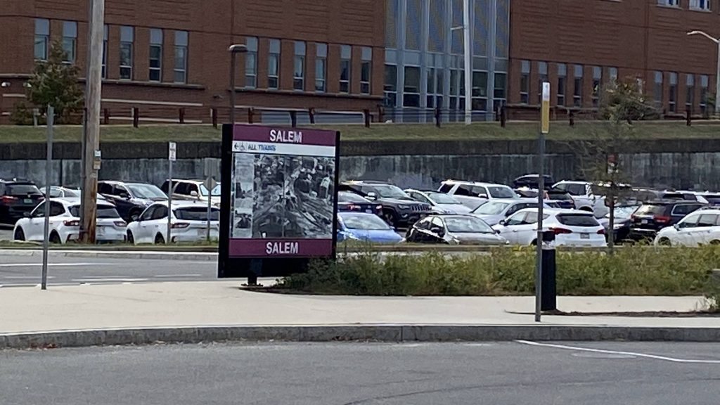
Of course, after passing through Governor Charlie Baker’s hometown of Swampscott, the road became Loring Ave., which we still followed all the way into Salem. It was largely residential. Going into Salem, we passed Salem State University, and eventually houses started getting a bit more grandiose and historic-looking. We turned down Lafayette Street, and a couple of more turns brought us into the crowded downtown Salem. Yes, this was during peak tourism season. Fortunately, soon after, and after everyone got off the bus along Washington St., we made it to Salem Depot (aka Salem Station).
Run time? About an hour.
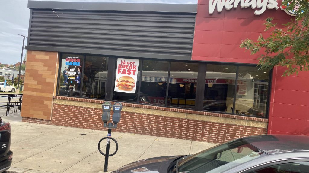
The good: Well, you can’t say it doesn’t serve a lot! Ridership seems to be primarily concentrated at Wonderland, Lynn, and downtown Salem for sure. Salem itself is pretty nice, both in the tourism regard and with its historical context (the witch trials and whatnot, even had an Arthur Miller play based on it). Even outside peak tourism season (October), during the summer it’s a nice place to walk around and whatnot.
The bad: The headways kinda suck though relative to the rest of the MBTA, being hourly. Vs. other RTAs it’d be alright, but this is the MBTA we’re talking. Then again, they also have subway lines running on upwards of 15-20 minute headways as of me writing this. But hey, maybe hourly isn’t as bad for Lynn and Salem as it seems at first glance, as the route does take around an hour from end to end.
Nearby points of interest: Wonderland has the Blue Line! You also have whatever there is in Lynn (sorry, I’m unfamiliar with the area), as well as Salem. I even went candlepin bowling at a nearby alley.
Overall, while I’d increase headways to half-hourly during the tourism season, maybe it isn’t as necessary as, say, half-hour headways on a Salem express. Hell, odds are most tourists are taking the train in if they’re going to take transit to/from Salem.
Rating: 7/10