58 (Mineral Spring Ave./Smithfield Crossing)

A route that services North Providence via Mineral Spring Ave. and Putnam Pike, eh? I wonder what’s in store here. Let’s take a look at the 58.

A long way to go to make the transfer. Oh boy.

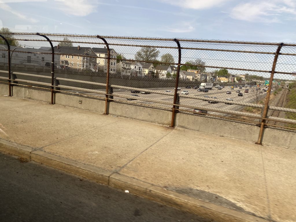
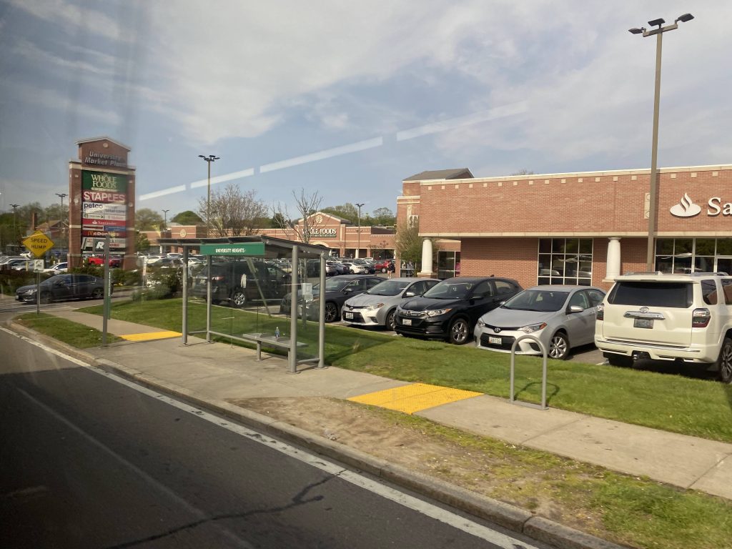
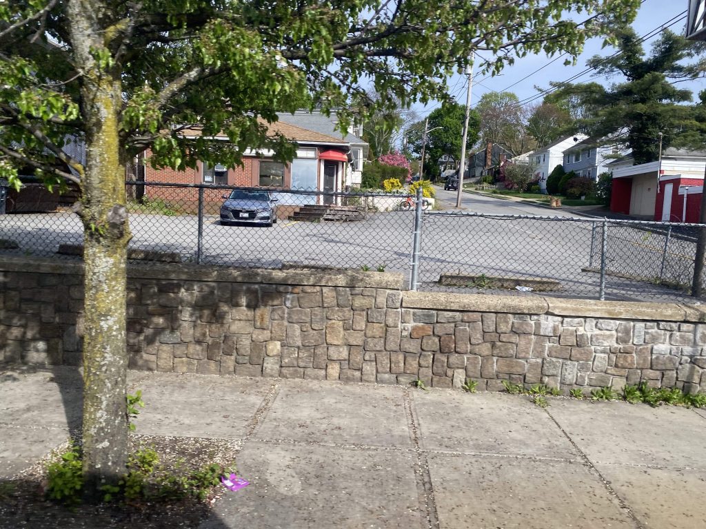
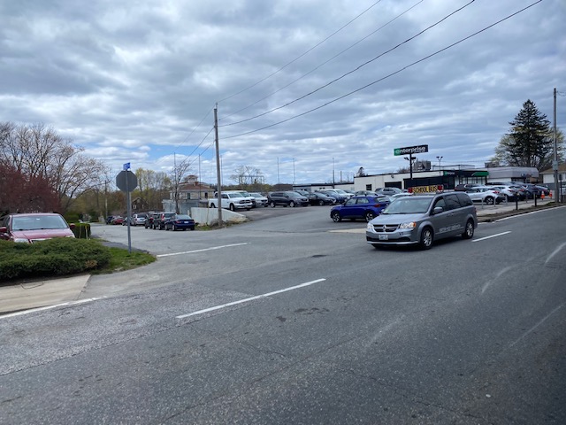
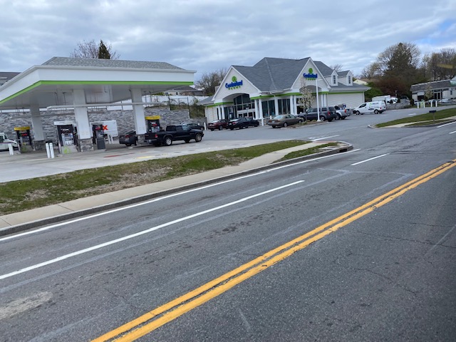
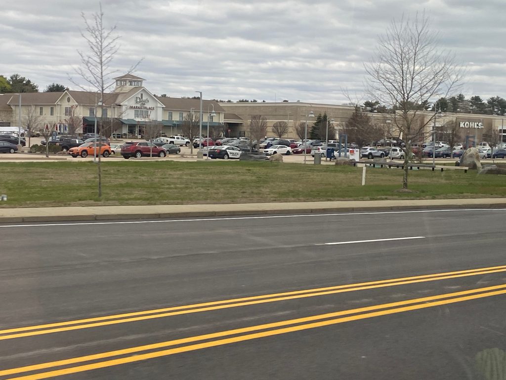
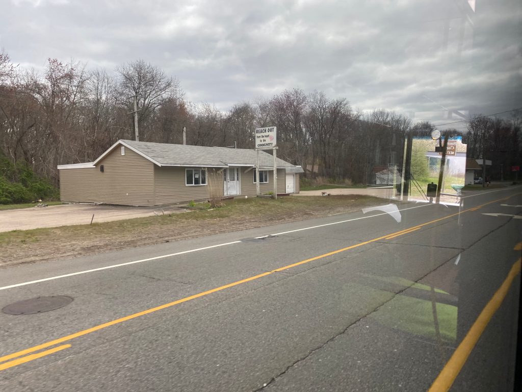
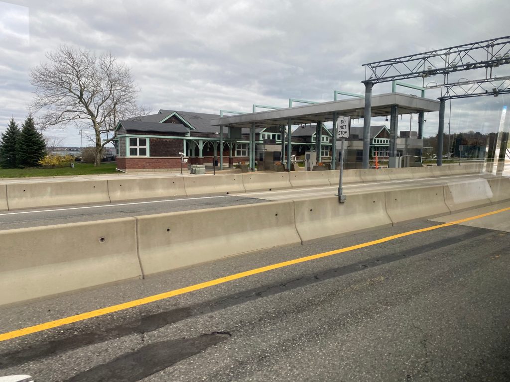
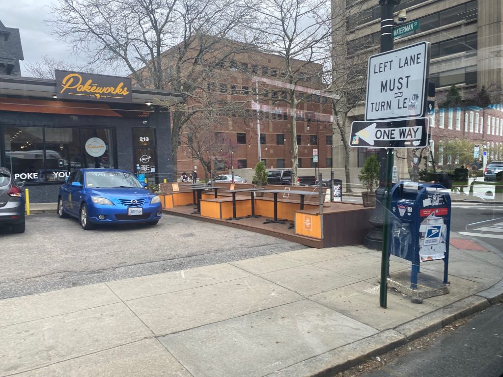
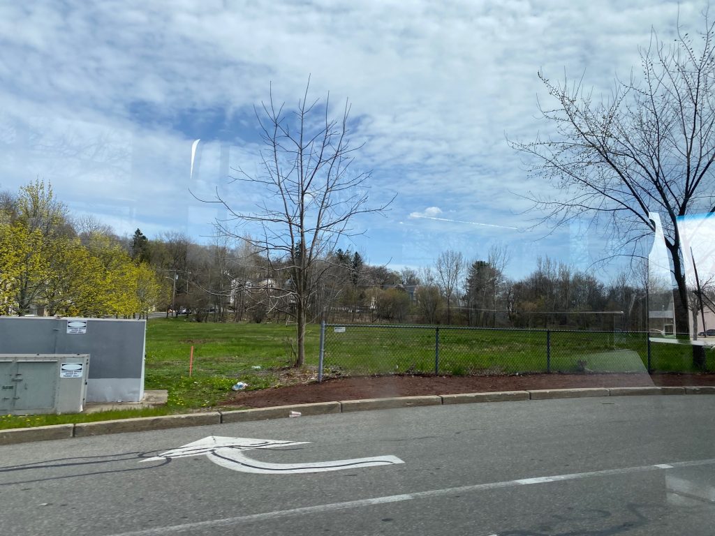
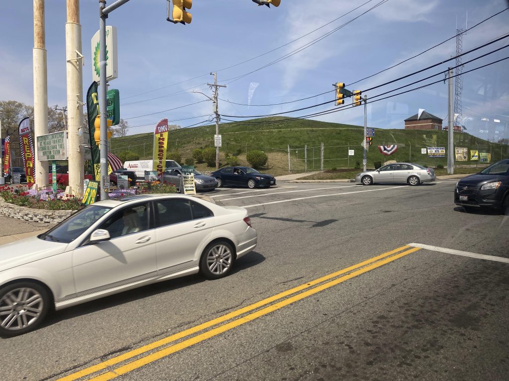
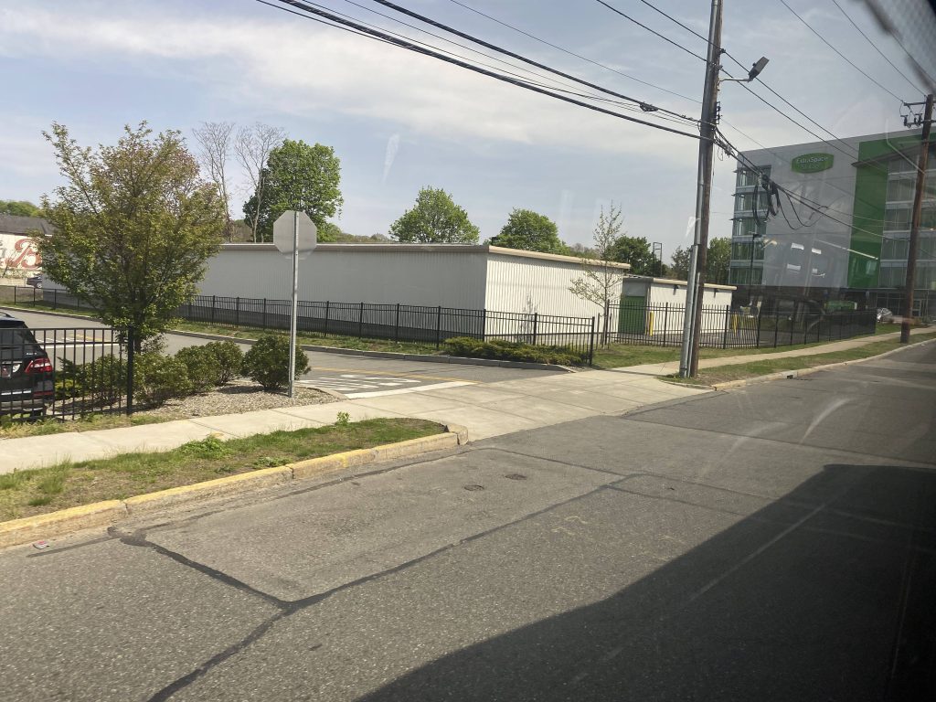
To even get up here to start with, I took the 9X’s midday trip from Kennedy Plaza and rode it up to just outside Smithfield Crossing. The 9X used to deviate into Smithfield Crossing, however, but it got axed because the property owners didn’t want to host a park & ride lot anymore. So, instead, anyone wanting to get here via the 9X has to get off at the stop on US-44 and walk down. For this route, though, the route terminates in the shopping center itself. There’s three whole stops in this plaza, being one by Old Navy, Barnes & Noble, and the gazebo. Once we left the shopping center, we made a left turn and crossed the interstate.

And away we go!
Interstate 295!

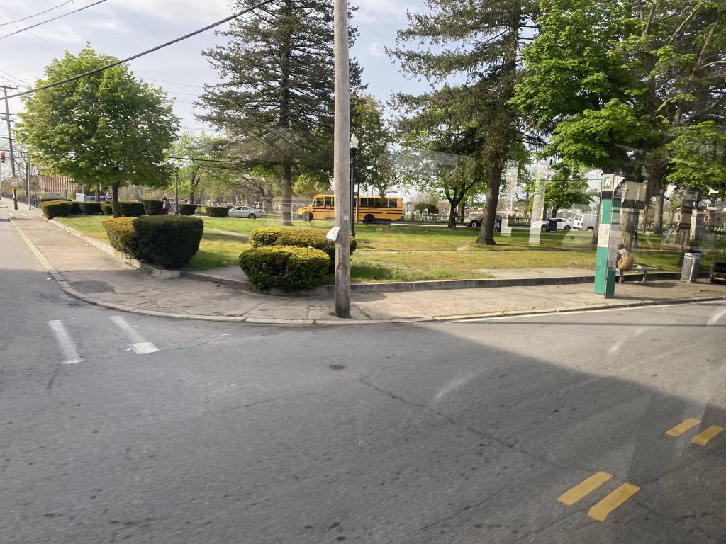
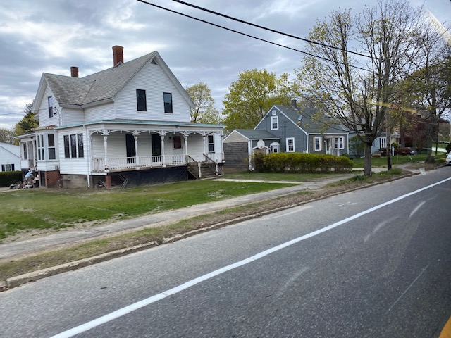
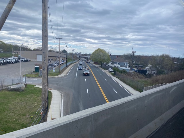
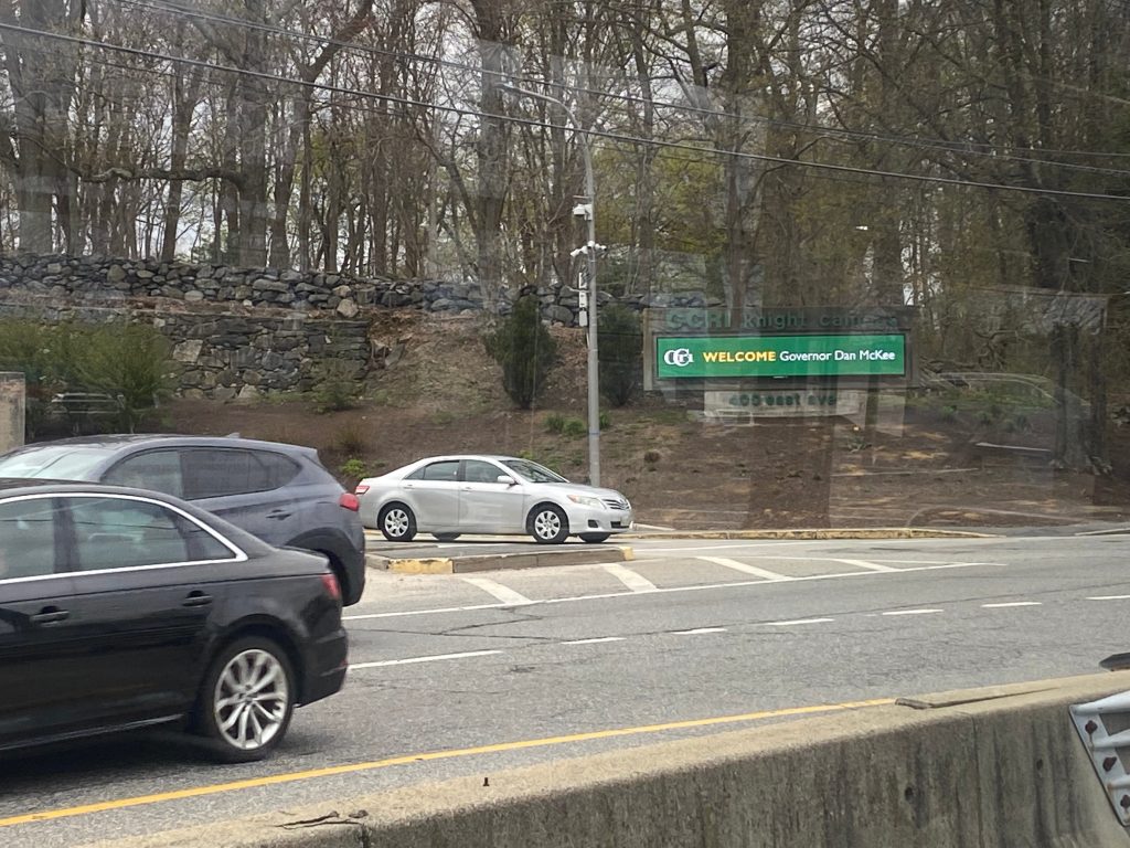
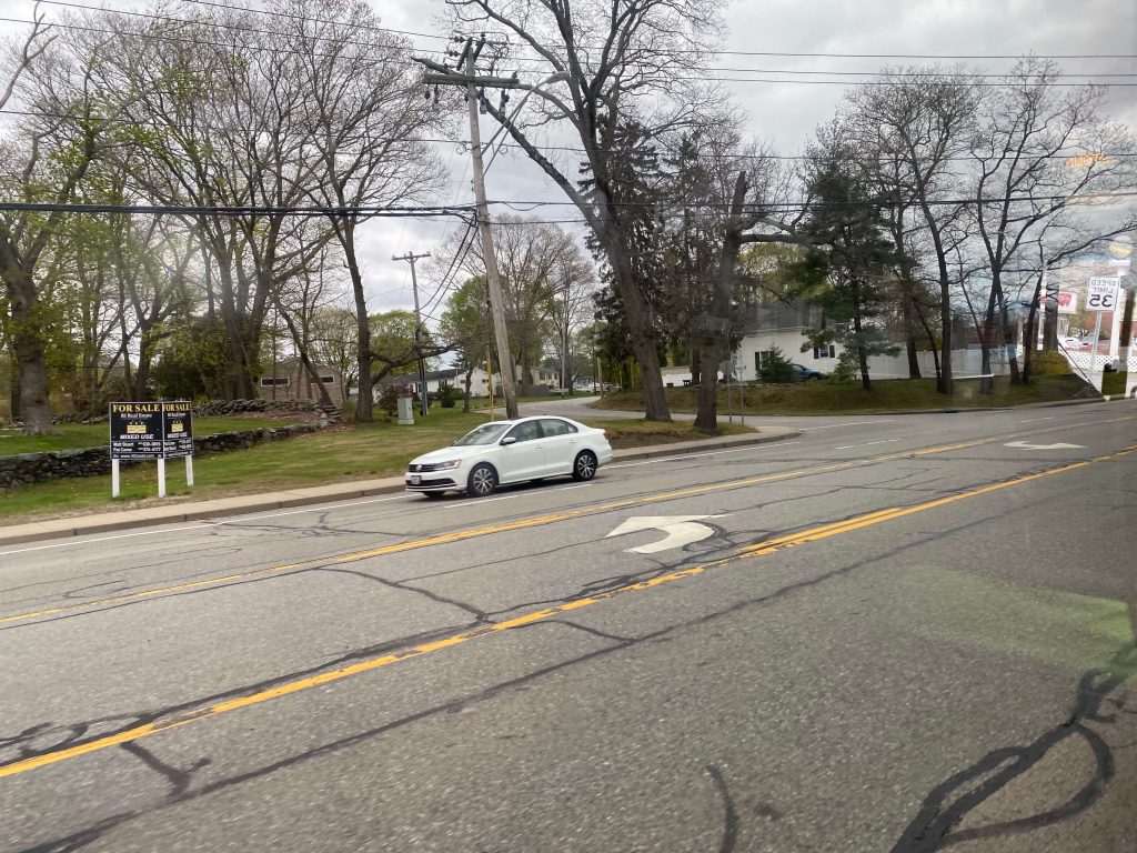
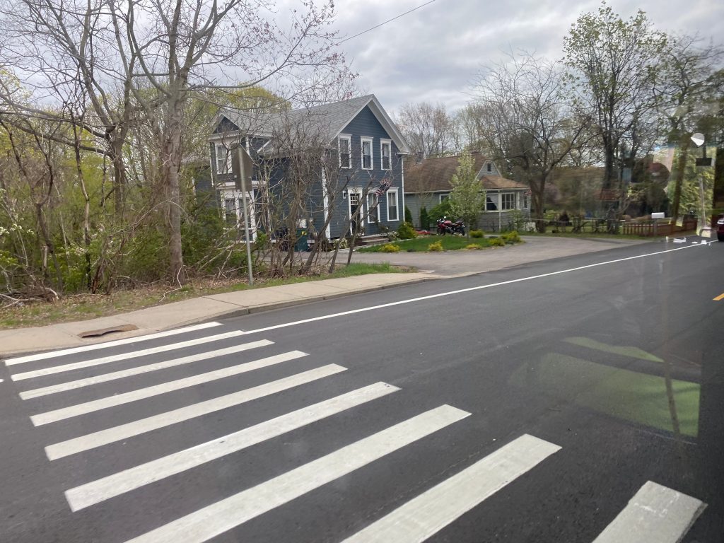
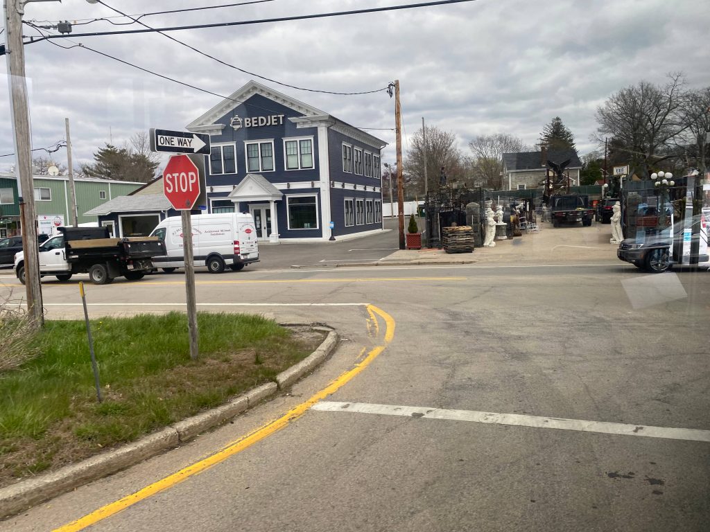
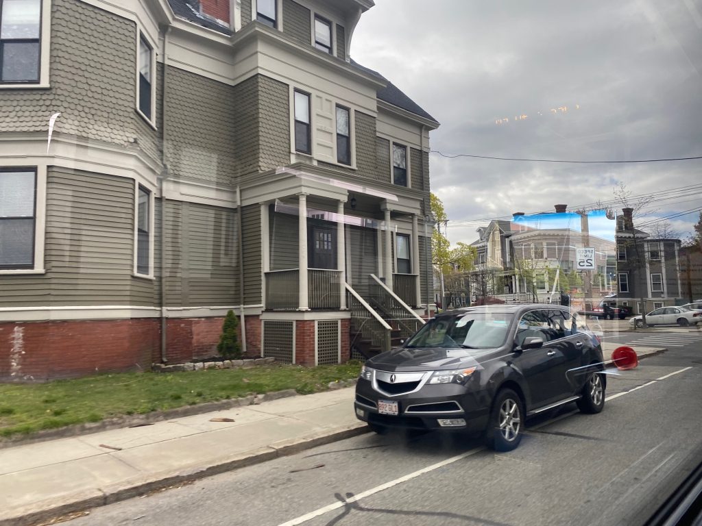
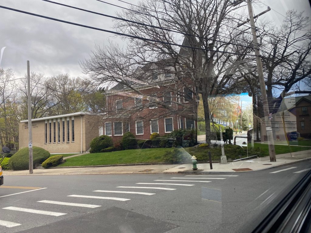
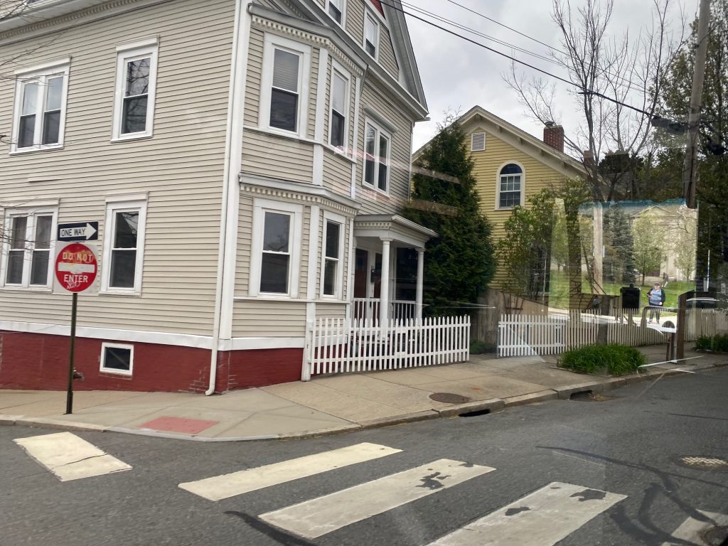
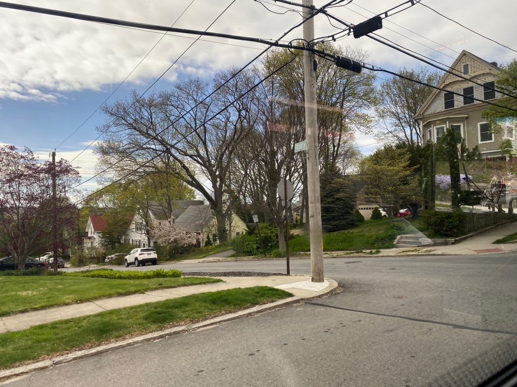
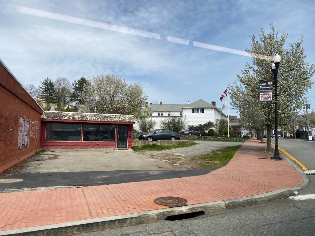
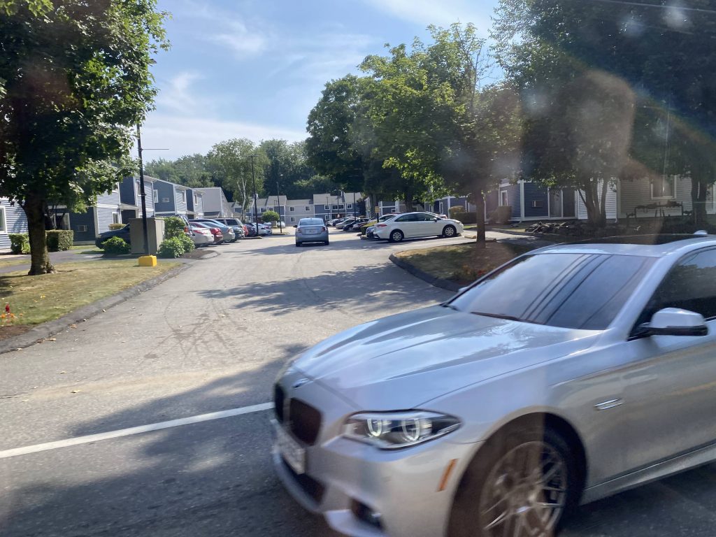
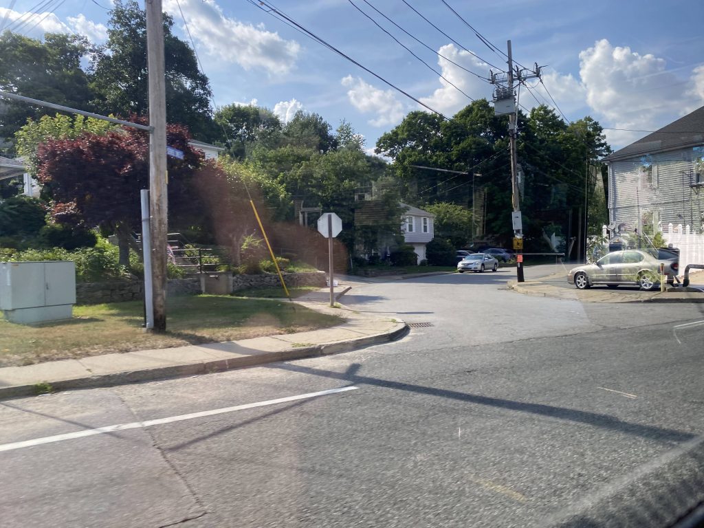
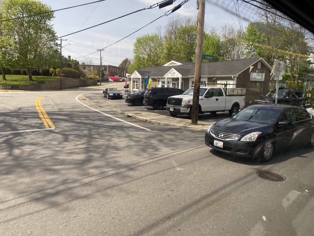
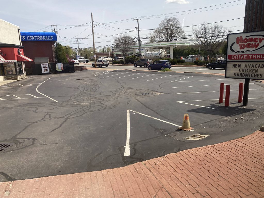
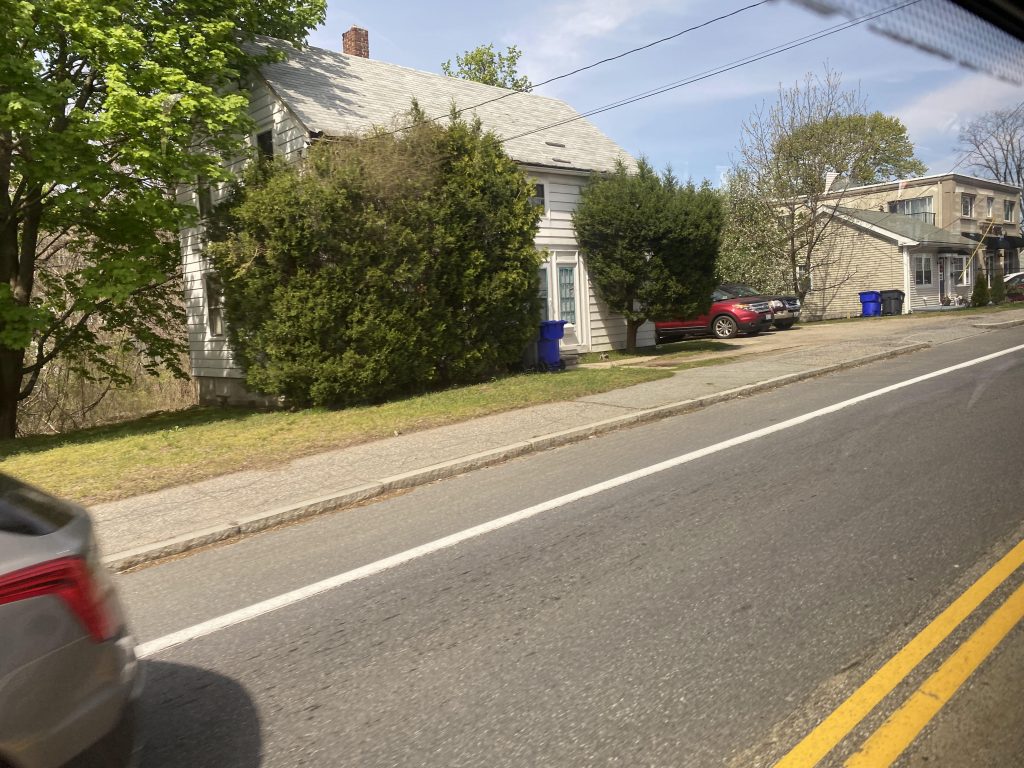
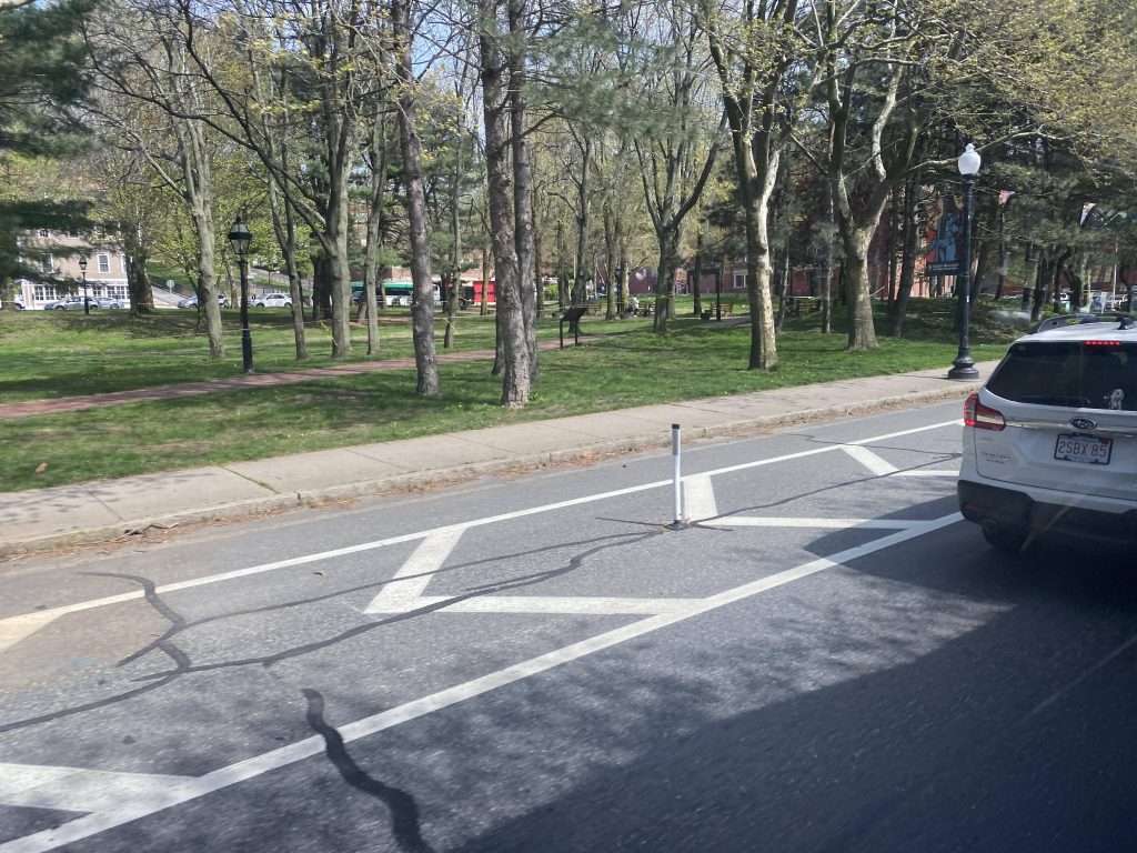
However, after crossing 295, we took a left turn again, this time onto Esmond Street. Along this street were primarily suburban buildings in nature, some businesses but predominantly houses. A few people got on the bus as well. Eventually, the road ended and we turned right onto Waterman Avenue. From here, it was a straight shot into Centerdale Village, where transfers to the 27 and 57 can be made.

A side street off of Esmond St.
Some kind of a business or something.
One of the side streets off Waterman Avenue.

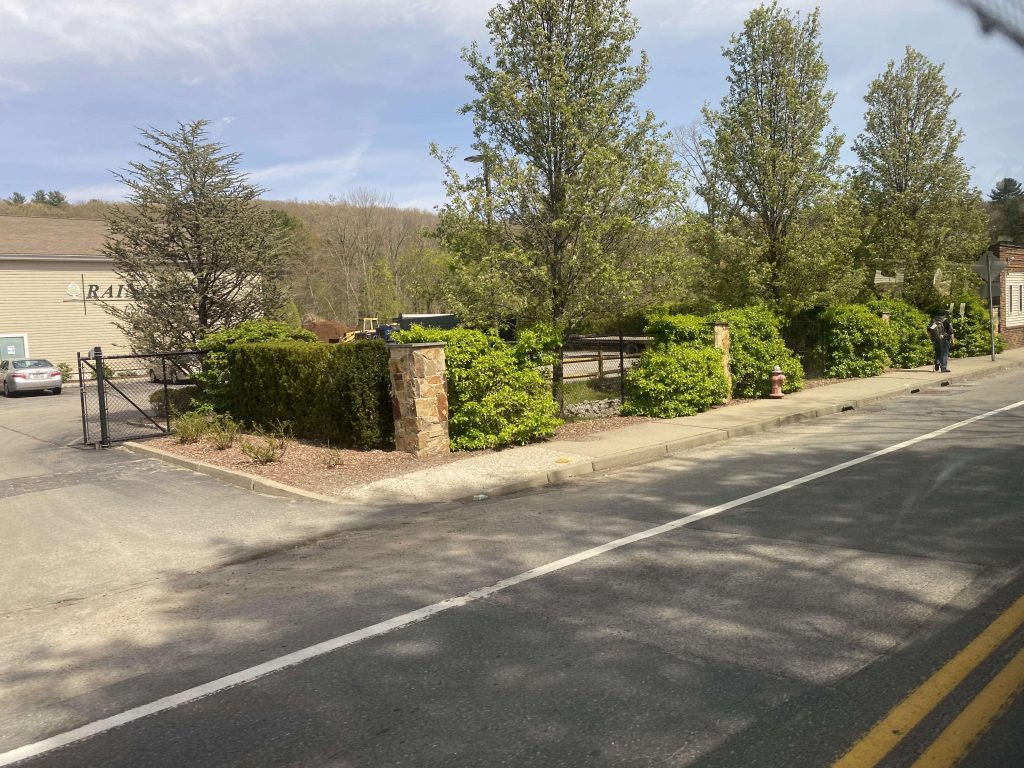
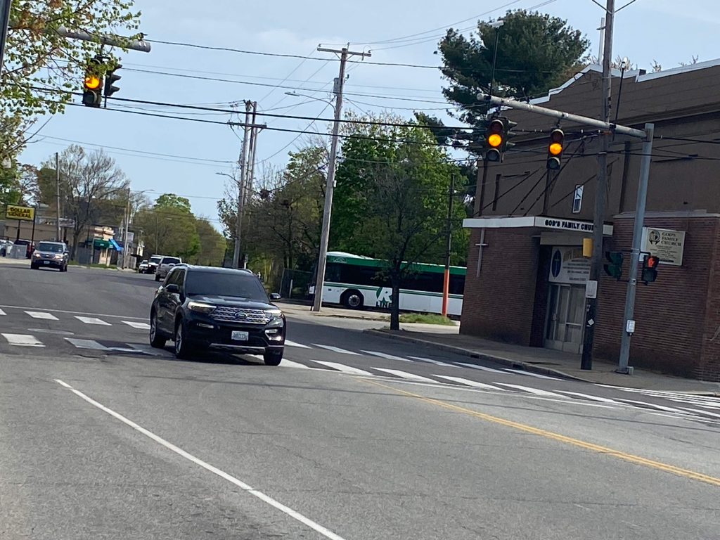
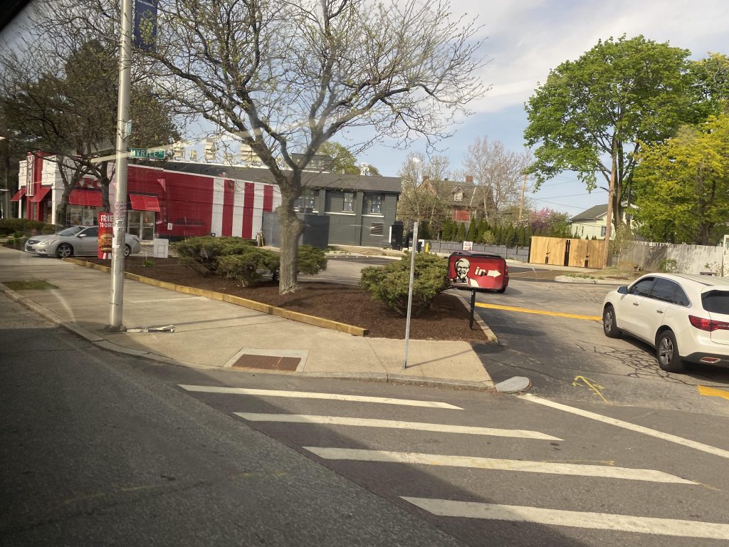
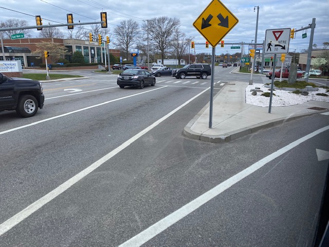
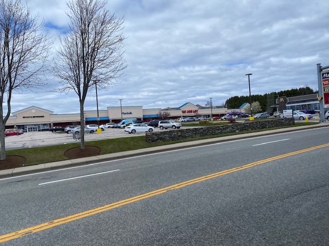
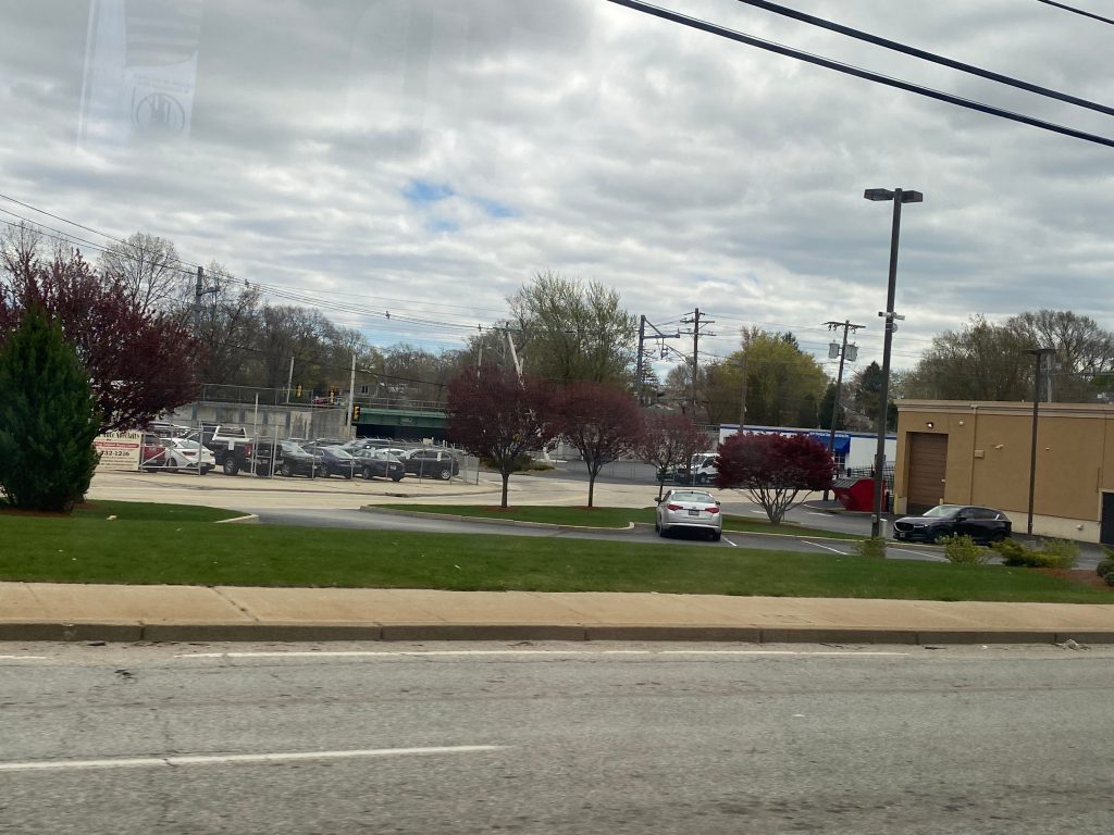
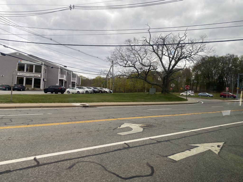
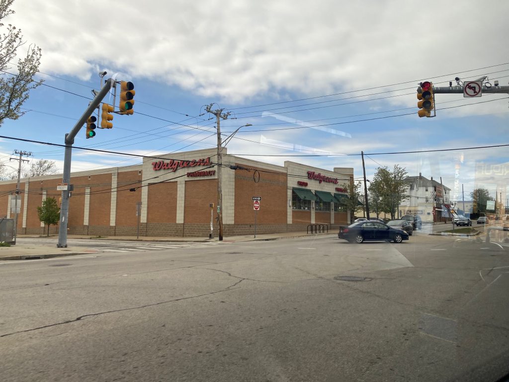
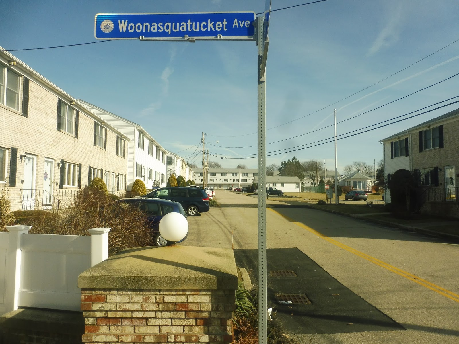
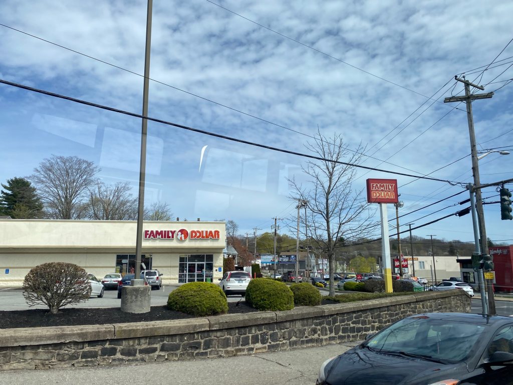
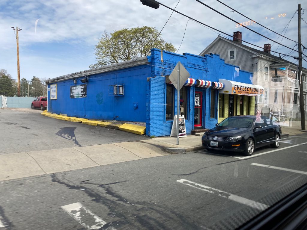
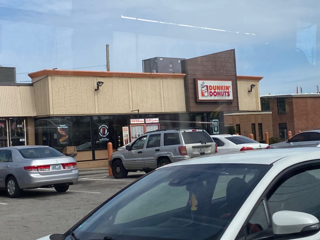
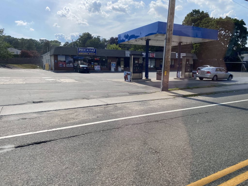
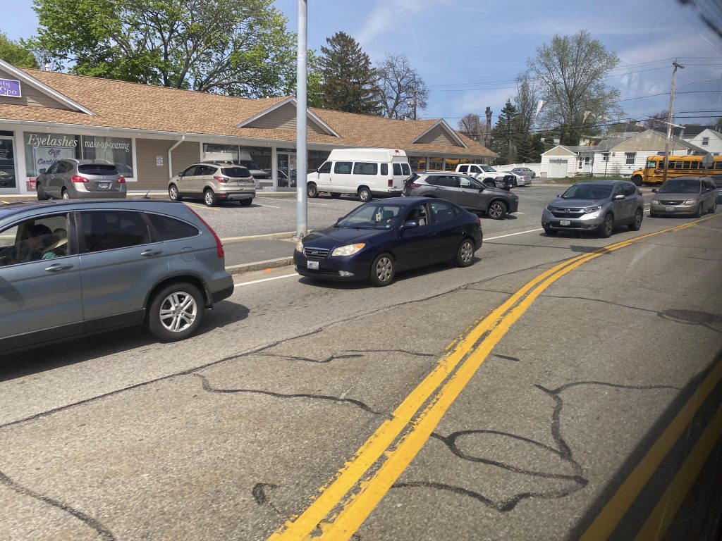
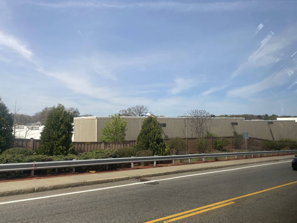
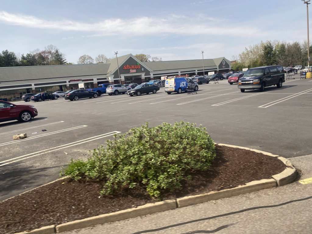
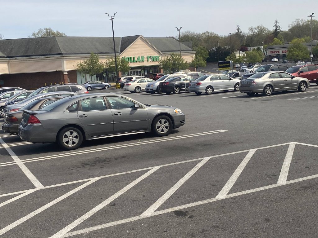
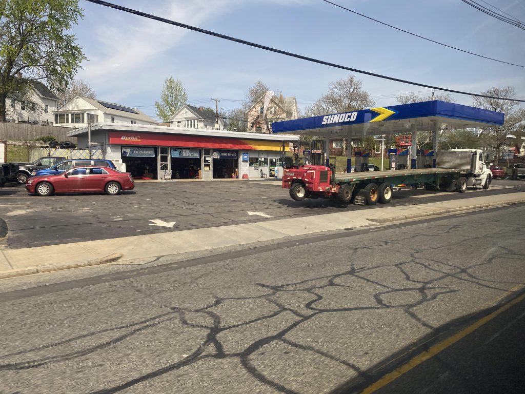
Now, while the 57 goes down US-44/Smith St., and the 27 goes down George Waterman and Woonasquatucket, the 58 instead goes down Mineral Spring Ave. From here, traffic was horrible. It was essentially stop and go, with the occasional bus stop. Fortunately, after about 15 minutes, we made it to Douglas Ave. and turned right. From here, the route largely followed the 50, complete with the Shaw’s deviation. There was also a Dollar Tree in this plaza. 🙂

Centerdale traffic
Centerdale as we turned on Mineral Spring Ave.
A house off Mineral Spring Ave.
Some businesses
$4.35 a gallon for gasoline?!
So this exists. Idk what it’s supposed to be, though.
Lowe’s!
Deviation Sensation!
Shaw’s with an Osco Pharmacy
Look, a Dollar Tree!

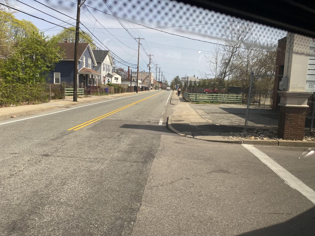
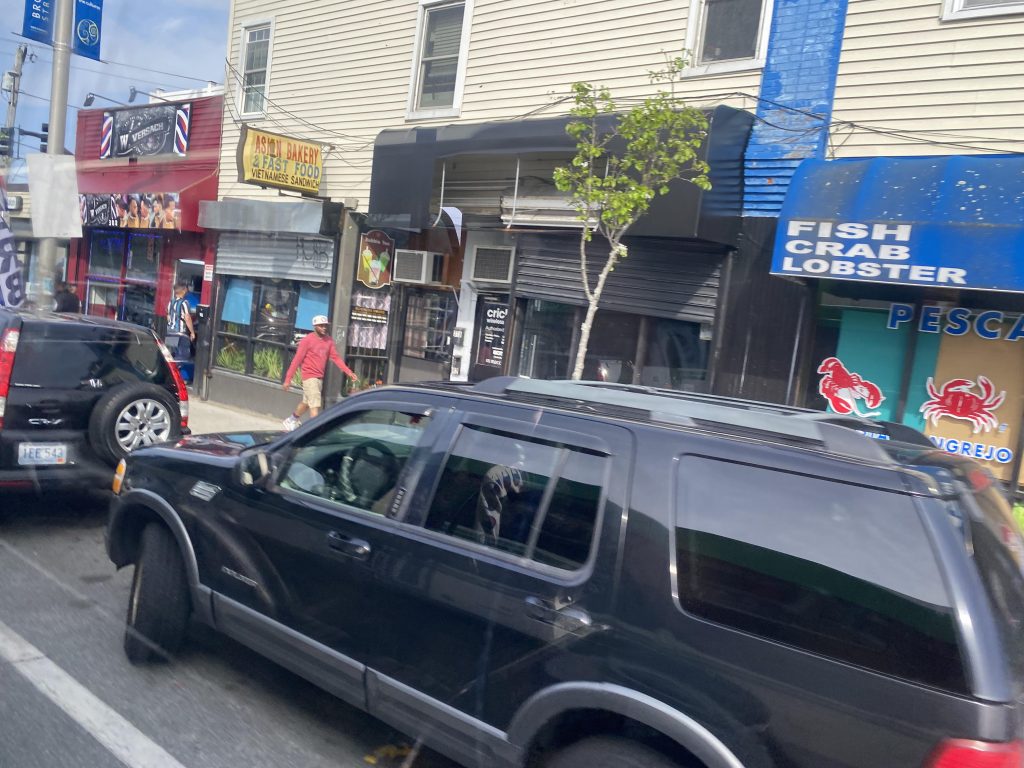
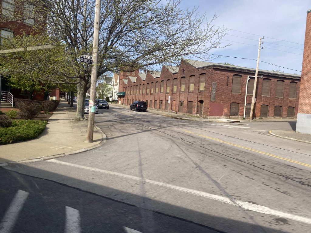
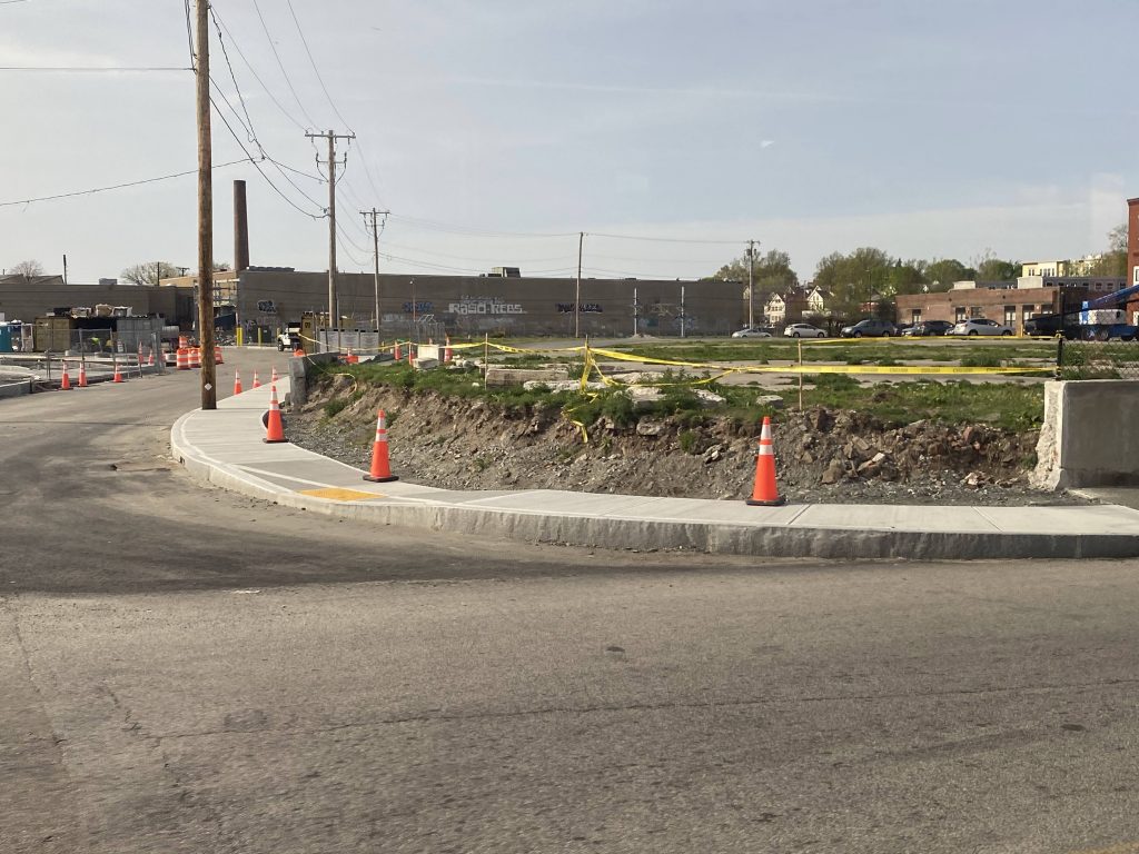
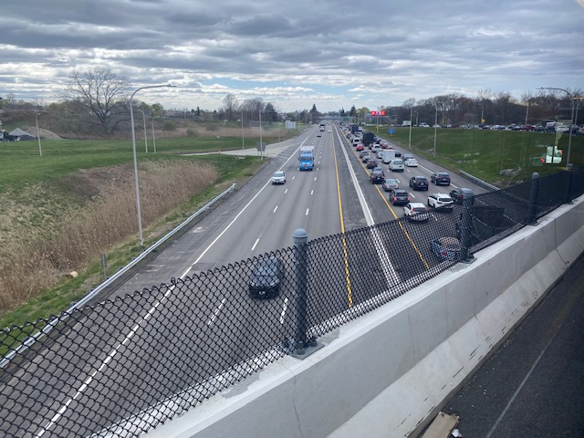
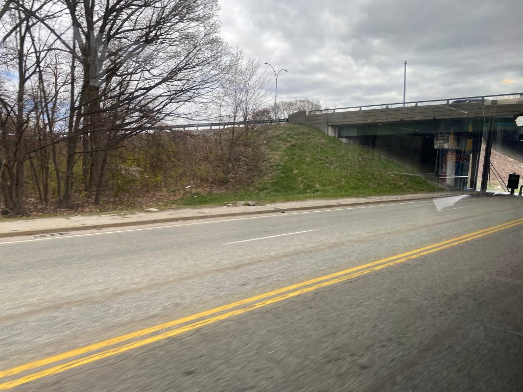
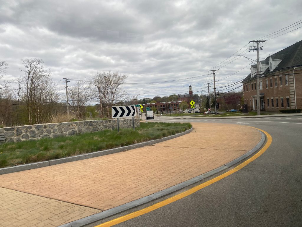
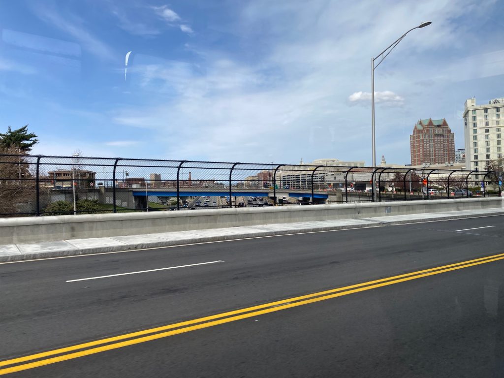
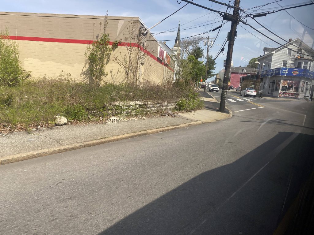
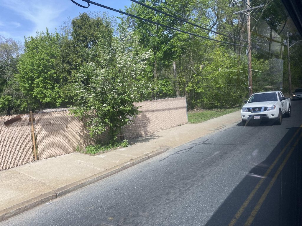
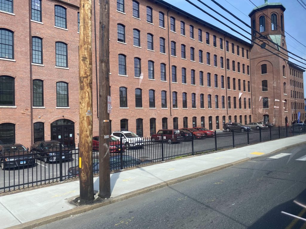
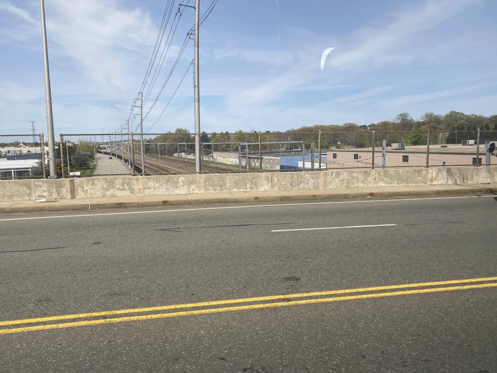
We eventually, however, turned back onto Douglas Ave. and kept pressing on. Soon enough, we turned down Branch Ave. and things got quite urban on one side and green on the other. Soon enough, we passed an old mill and went under RI-146, Charles St., and Silver Spring Street. We also went over the Northeast Corridor, but not the interstate.

Family Dollar by Branch Ave.
Greenery!
An old mill, likely refurbished.
A gas station past the freeway
A Chinese restaurant near Charles St.
A Stop & Shop gas station near Silver Spring St.
The Northeast Corridor, shared by Amtrak, the MBTA, and Providence & Worcester.

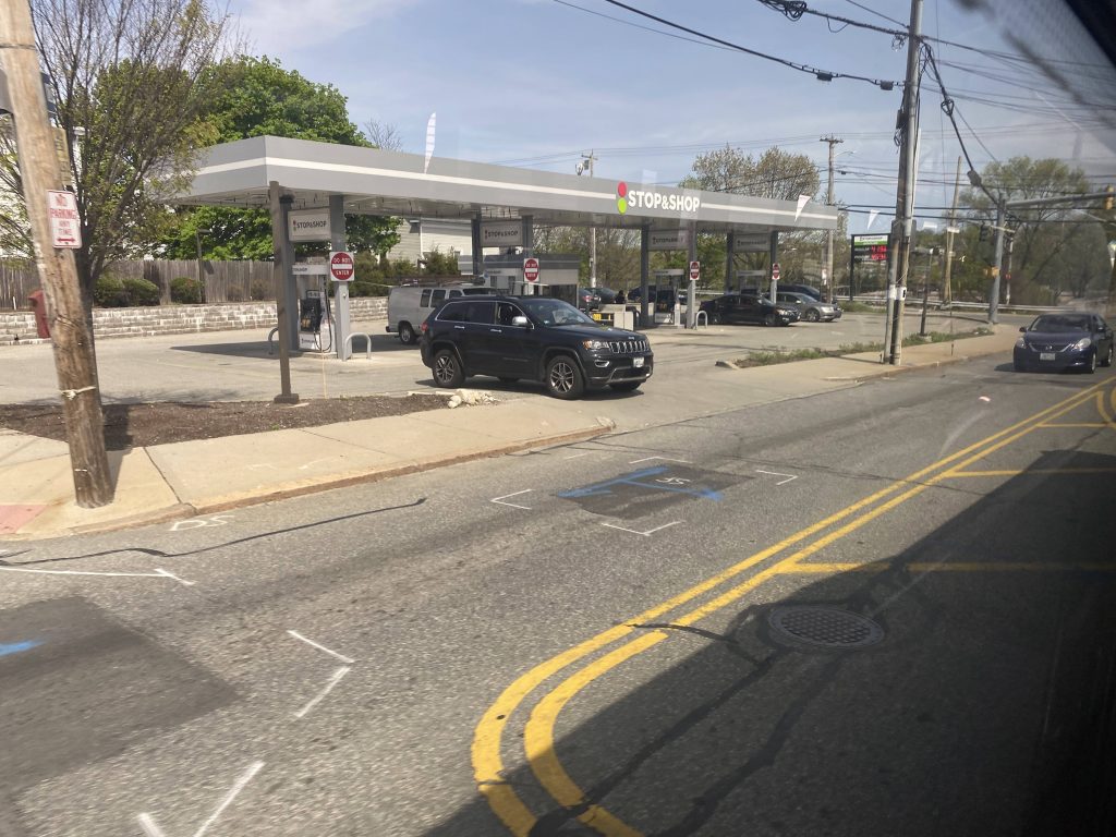
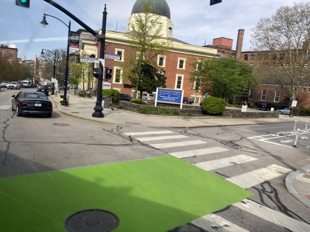
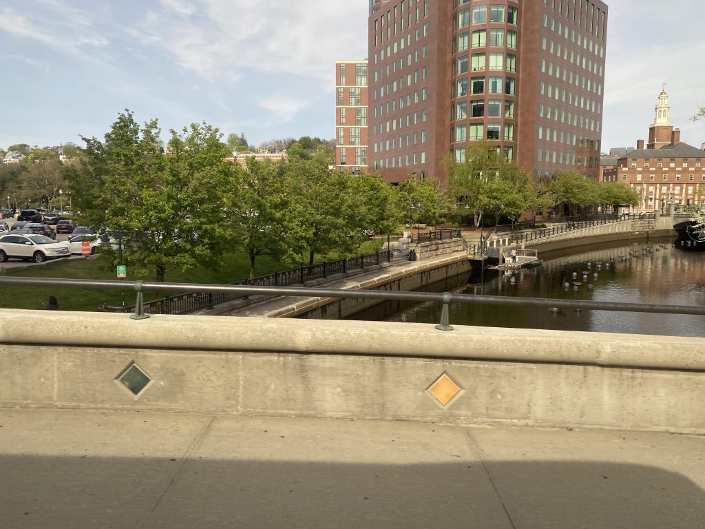
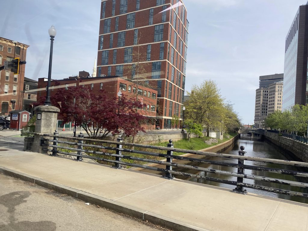
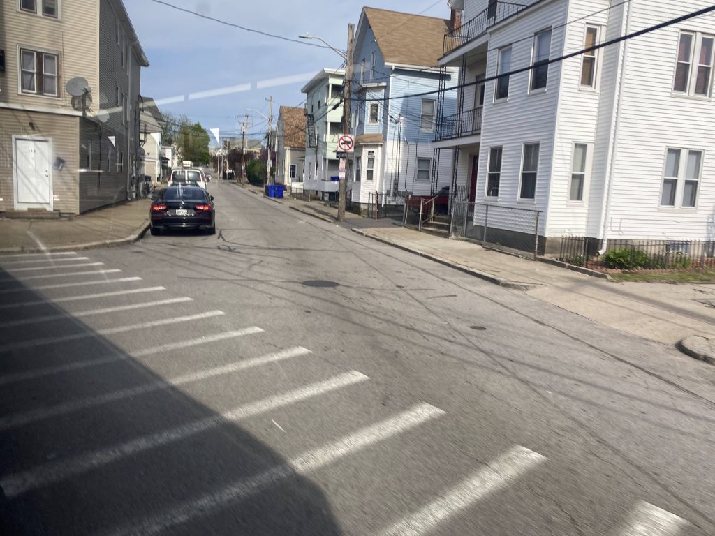
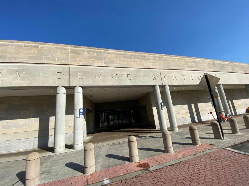
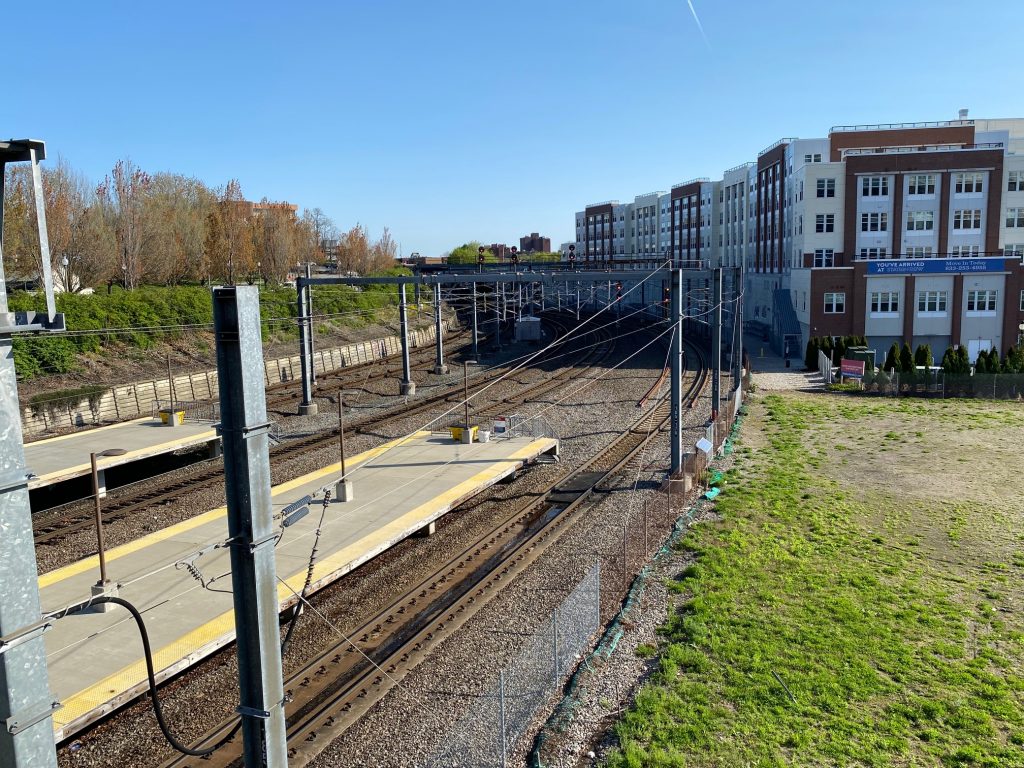
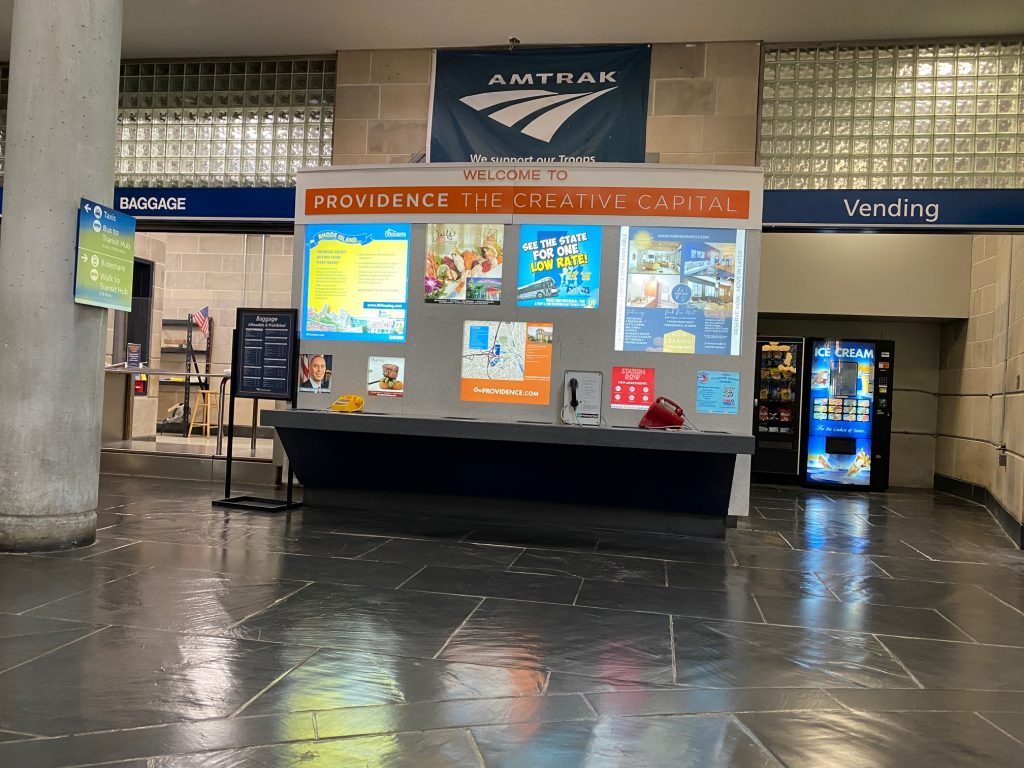
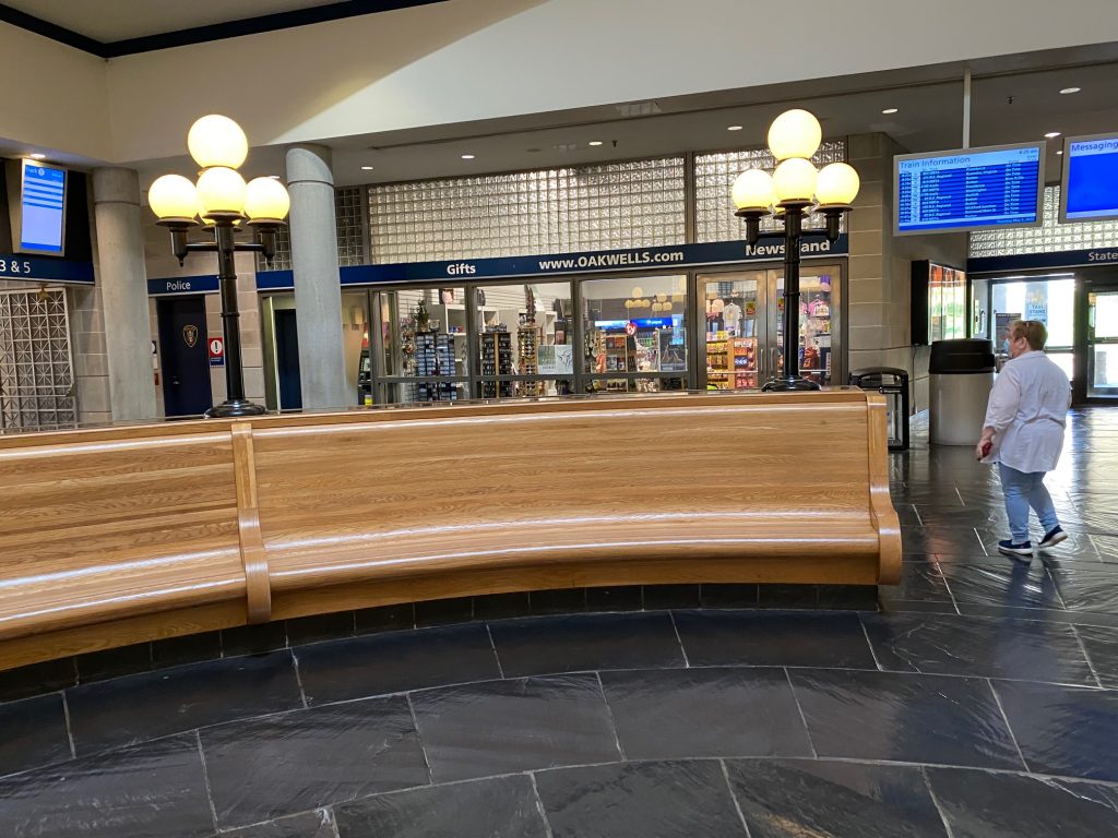
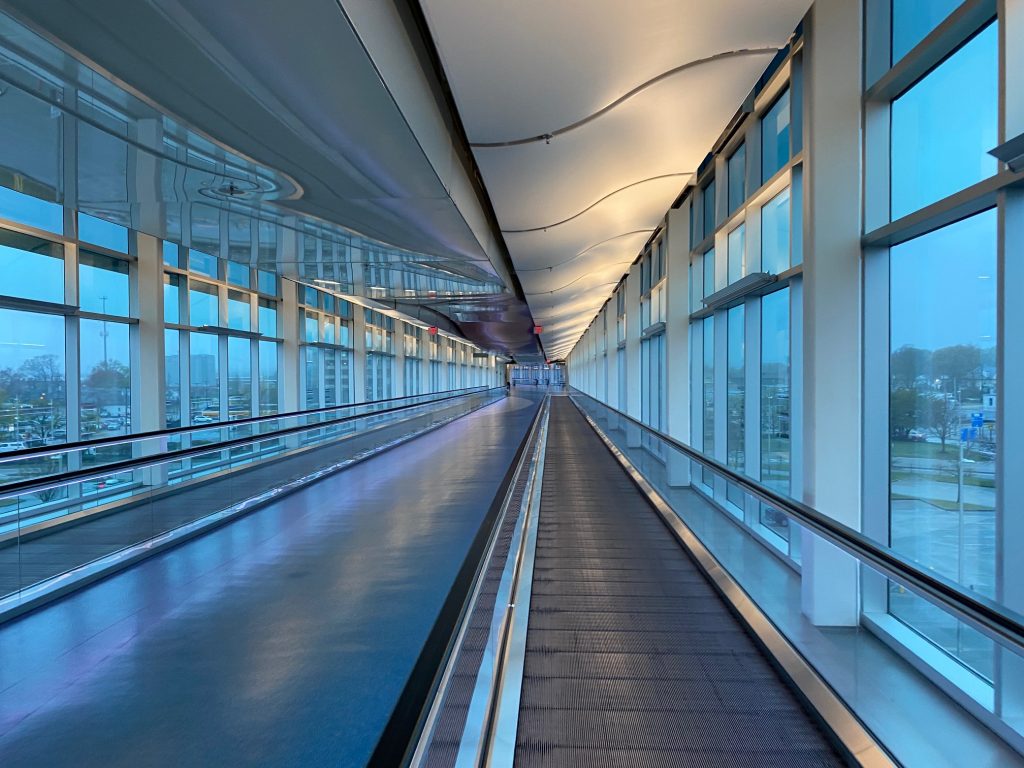
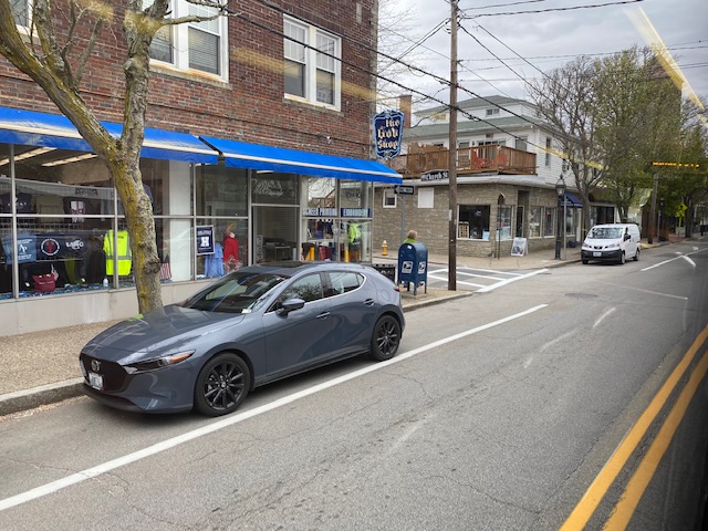
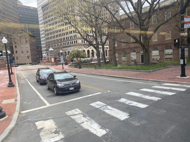
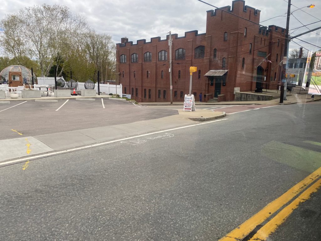
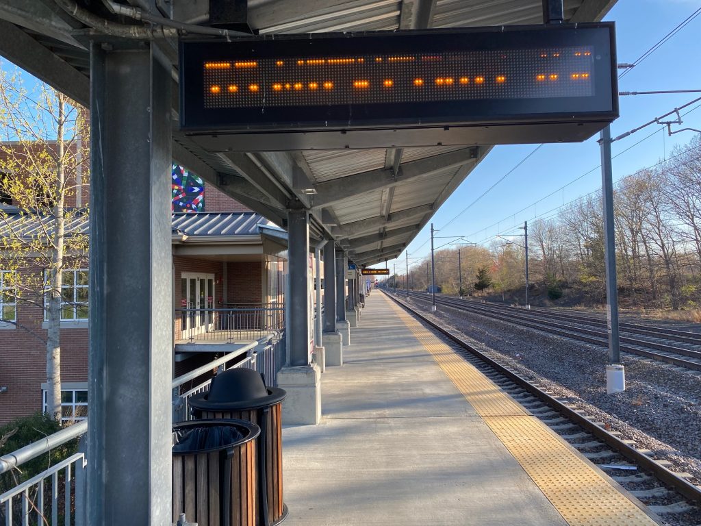
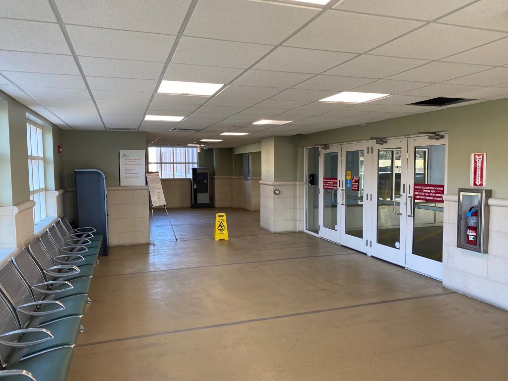
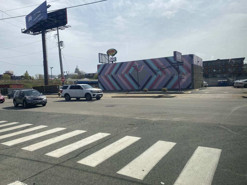
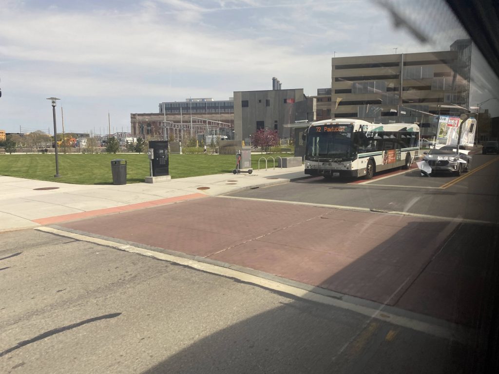
Instead of going down Branch Ave. further, we took a right onto West River Street. It was down here that a Stop & Shop can be found, however we did NOT deviate into it. We then turned onto Corliss Street, passed a USPS facility, and turned onto Charles St. However, we then banged a u-ey onto Ashburton St., as Charles St. was one-way at this section. From here, we kept going down Charles and Canal Streets, turned onto Park Row, and deviated into Providence Station. This would then begin the Downtown Transit Corridor section of the route.

Storage!
A bar sign off Ashburton St.
Near the train station!
Canal Street near North Main
Roger Williams Memorial

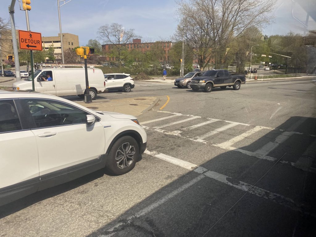
DOWNTOWN TRANSIT CORRIDOR BLITZ TIME!!! LETS GO!

Alright, blink and you’ll miss the stops!
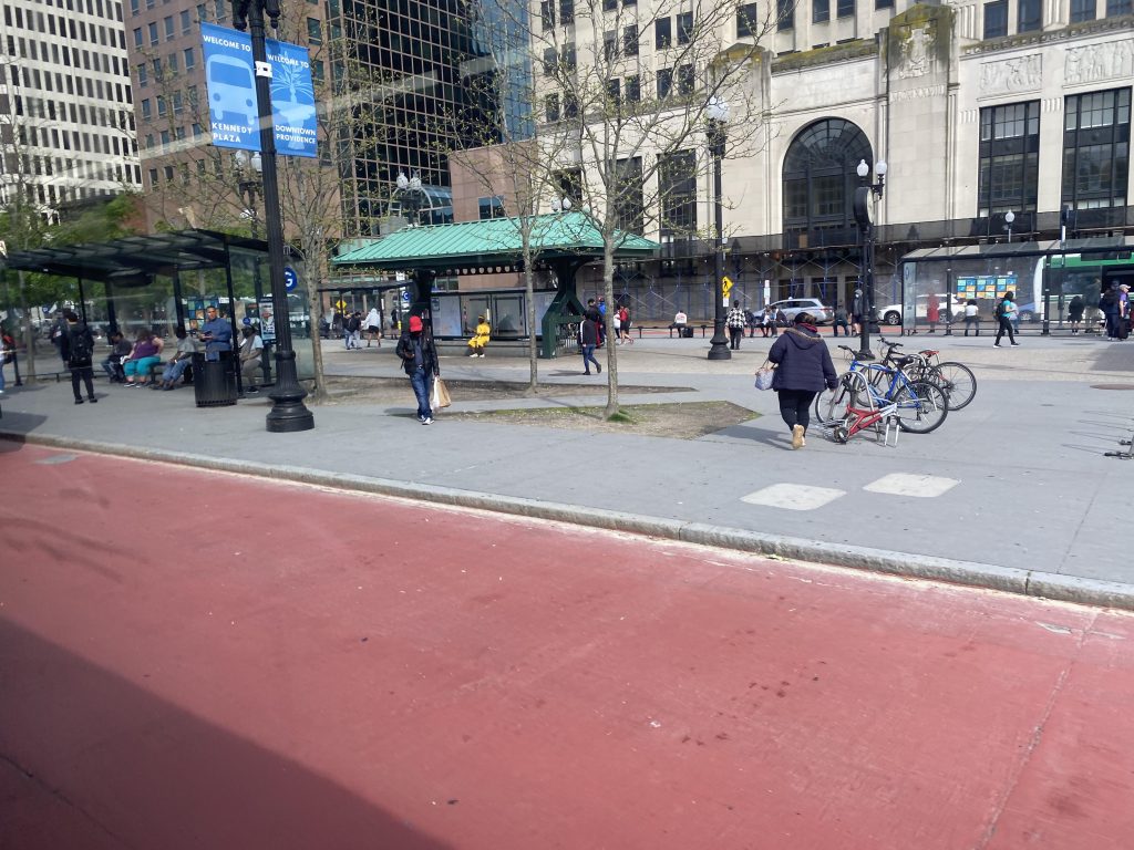
Kennedy Plaza, stops B (south) and G (north)
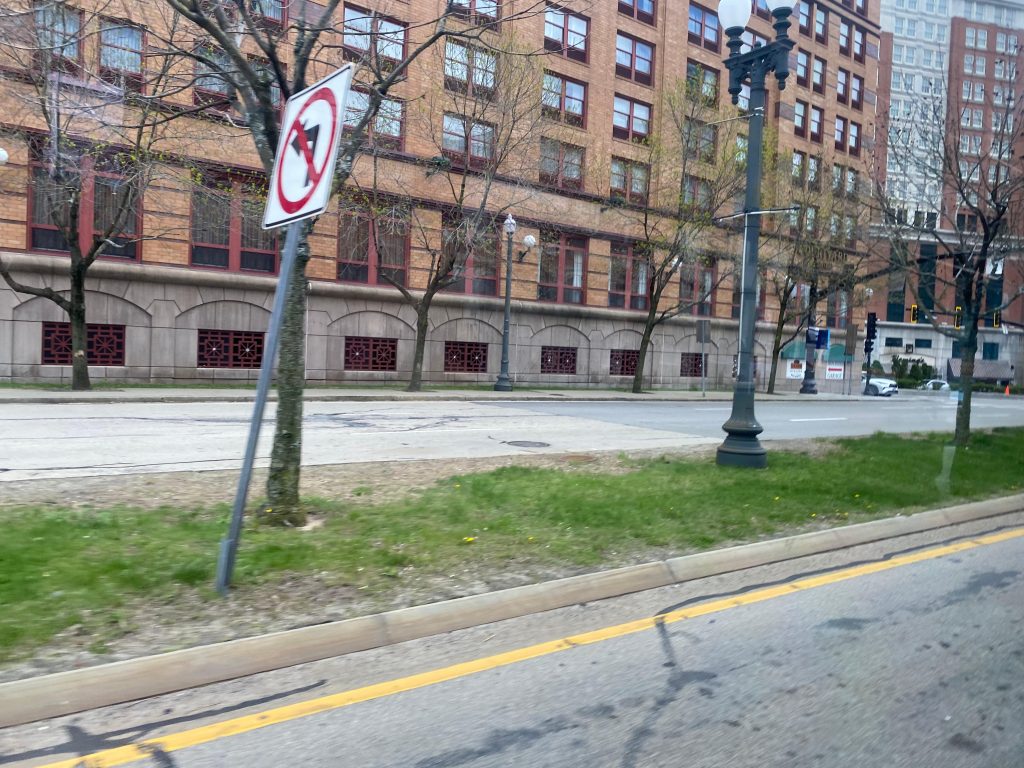
– Dorrance and Pine St., near the Garrahy Courthouse and JWU
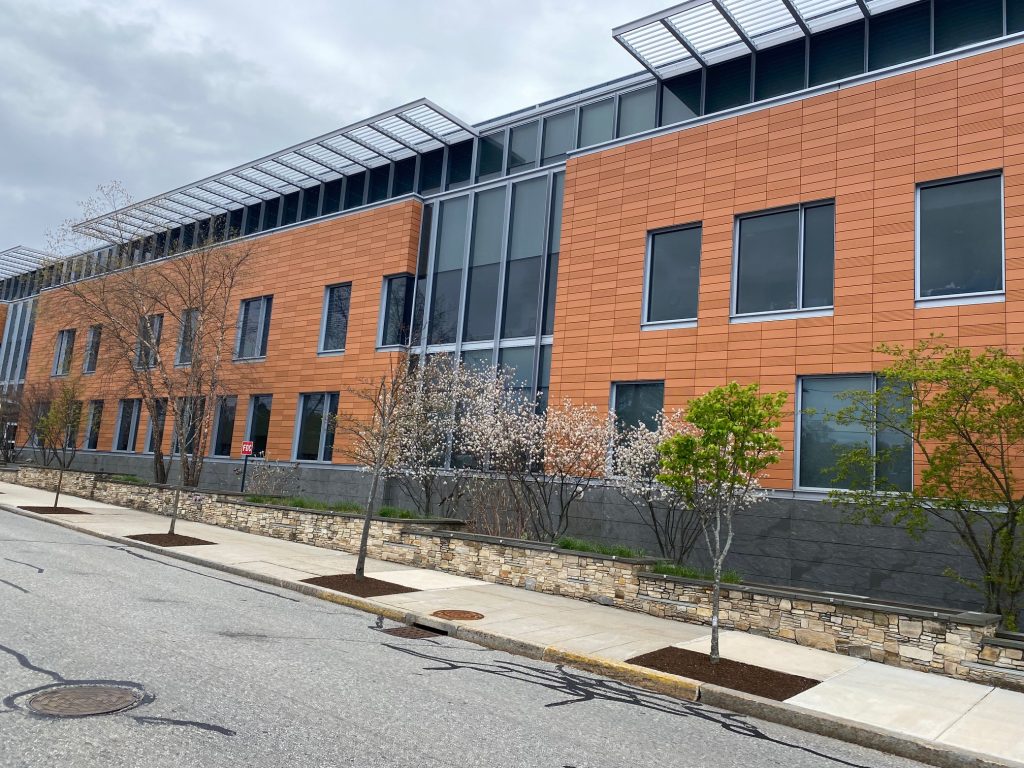
– Dyer and Ship St., as well as Dyer and South St., near the Nursing Education Center
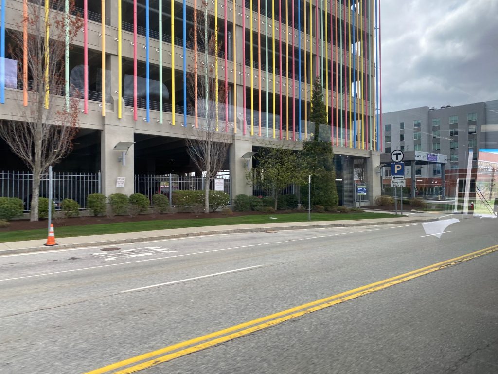
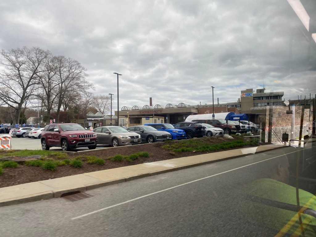
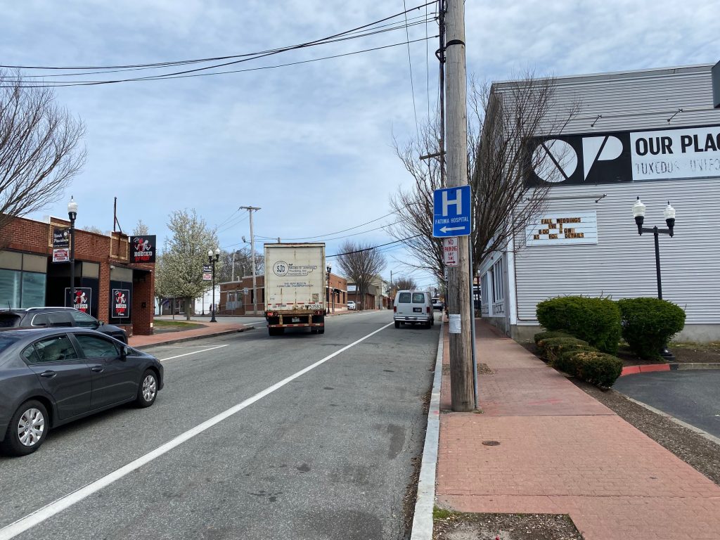
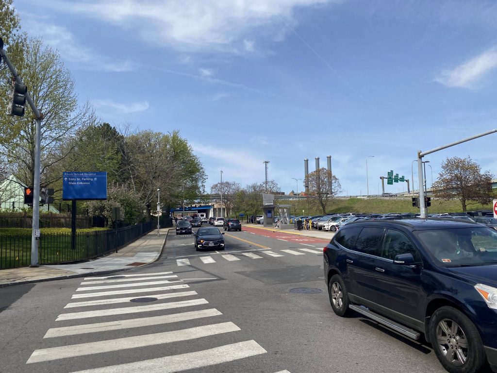
– Lastly, RI Hospital. However, this doesn’t deviate into the front door like the 1.

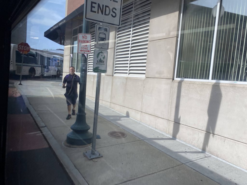
With that out of the way, that’s the entirity of the route. The bus driver did, however, turn down Allens Ave. and let me off at the layover area instead. Probably just forgot I existed.

7/11 was a part-time job
The site of the proposed Dorrance St. Transit Center
Near the Ship St. stop!
RI Hospital!

The good: It serves an otherwise unserved part of the state, and serves a major shopping center. It also serves a few major local roads (e.g. Mineral Spring Ave. and Branch Ave.).

The bad: I really want to like this route, but it tries waaaaaay too hard to be a crosstown route. But if we must have a crosstown Mineral Spring route, it should instead largely replace the 73. And, I don’t know if it’s just due to the time of day I rode this route (near the 3/4pm hour), but it seemed to be running quite late, too.

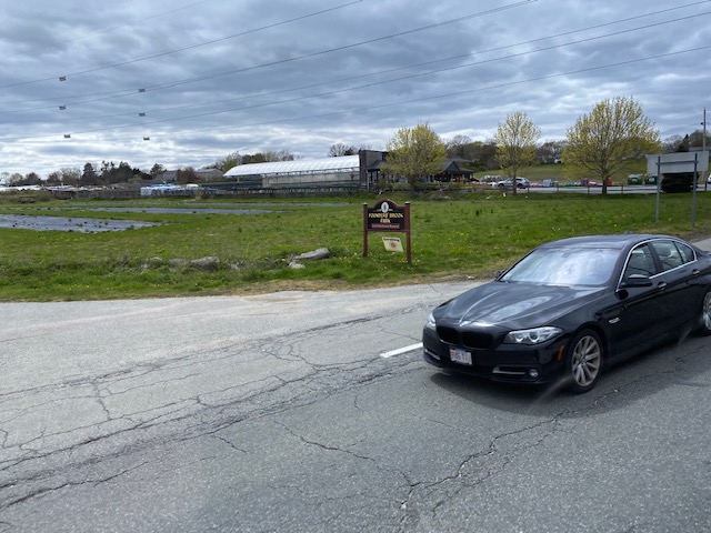
Nearby points of interest: There’s Smithfield Crossing, Centerdale, and the Shaw’s deviation. There’s also a Stop & Shop and Saver’s along the route. The southern terminus is at RI Hospital, and it also stops near JWU and at Providence Station.

Overall, I really want to like this route, but I just can’t give it that high a rating. It’s mostly the lateness factor that kills it for me, as well as the fact it tries and fails somewhat at being a crosstown route. At least, that’s the feeling I got. At least it’s definitely used, unlike the 49. In terms of ridership, how about 517 daily passengers on average. This puts it between important arterial routes like the 78, 55, and 35, as well as between a few crosstown routes like the 29, 63, and 71.
Rating: 6/10

R Line (Broad/North Main)

The big daddy of RIPTA routes. The behemoth. THE RIPTA route. Yup, it’s the R Line. This post I’ll be taking a deep look into the R Line. So, let’s get started analyzing this beast of a route, shall we?

The turnaround point for the buses on Broad St.

First off, we have to take a look at the historical context. The year is 2013, and RIPTA’s proposing service changes as they usually do. However, the biggest change of the year involves their two highest-ridership routes at the time, the 11 (Broad St.) and the 99 (North Main). Their plan was to merge the two routes and convert it into a “rapid bus” setup. What was “rapid bus”? Well, it’s not full-blown BRT. RIPTA makes that abundantly clear. However, it does have some BRT-like perks like dedicated buses, 10 minute headways in each direction during weekdays, and traffic light manipulation. Not even the MBTA’s Silver Line is that fancy! However, unlike the Silver Line, there’s no dedicated right of way for the R Line, as it still runs in mixed traffic, and as such unlike what the MBTA does, RIPTA does NOT claim that it’s BRT. So, the end result? The R Line. With the historical context out of the way, let’s get into the route itself.

“THE NEXT STOP IS…..MONTGOMERY AVENUE”

The journey itself begins at the intersection of Broad St. and Montgomery Avenue, near Eddy St. Quickly, you’ll realize that the lispy female announcer will get a bit annoying announcing every stop. However, that didn’t deter me – or anyone else from riding this route. The bus wasn’t busy at this point, although it very much did get busy the closer to downtown we got. We quickly went past Eddy Street, and from here we past a Taco Bell, Roger Williams Park, and some locally owned restaurants and clubs. We then crossed over the interstate.

A street
APPROACHING: ROGER WILLIAMS PARK. THE NEXT STOP IS: EARLY STREET.
The interstate!

So, we cross into South Providence, and the neighborhood really becomes lively. As in, there were people walking around everywhere and businesses everywhere, ranging from local markets, to a CVS, some clubs, phone stores, and even a computer repair shop. From here, we kept pressing through the neighborhood with people getting on and off at the various stops. Eventually, the bus started getting a little crowded.

Some businesses
A stop outside a synagogue. There’s also a shelter that wasn’t pictured.
Even the Colonel shows up around here!

Eventually we went past St. Joe’s Hospital, and entered Elmwood Avenue. From here, it was effectively a straight shot to Kennedy Plaza, passing by many more local businesses. We’d also cross the interstate again, this time entering downtown Providence and serving Dexter Manor.

APPROACHING: LOCKWOOD STREET. THE NEXT STOP IS: DEXTER MANOR.
Some guy got into my shot, and also rush hour traffic.

Eventually, we entered downtown Providence. Passing by the usual assortment of businesses and restaurants along Westminster Street, we made it to Kennedy Plaza soon enough. It was here that mostly everyone got off. There was only one other person other than me who stayed on the bus all the way to Pawtucket.

APPROACHING: WESTMINSTER STREET. THE NEXT STOP IS: KENNEDY PLAZA – DOWNTOWN PROVIDENCE.
Kennedy Plaza!
The Woonasquatucket River as we headed towards Providence Station

Now, the R Line is advertised as being deviation-free by design. And, they’re mostly right about that. However, there’s one deviation it DOES do. And, what is it? To answer your question, Providence Station. Now, this is probably the only realistic deviation the R Line could do that’d actually get ridership. And, in fact, it does. Usually there’s at least a handful of people getting on or off here. However, I’m not here to rant about that. From here, we head down Park Row and onto North Main Street.

The sorry excuse of a bus stop at the train station
Onwards to North Main Street!

We chucked a left at North Main and book it past Roger Williams Memorial. However, I was on the wrong side of the bus for that. However, there were a few houses and apartment complexes over here, and even a shopping center we stopped outside of.

APPROACHING: UNIVERSITY HEIGHTS. THE NEXT STOP IS: CHARLESGATE!

From here, it largely got a little more suburban, passing mostly businesses. Among them were Subway, Gregg’s, Dunkin’, and a short walk away was a Job Lot (complete with a 71 transfer!) and Miriam (with its useless 49 transfer!).

…what?
An office of some kind
APPROACHING: GRENVILLE STREET. THE NEXT STOP IS: HOPE ARTISTE VILLAGE.

More housing appeared, though, as the ride went into Pawtucket and split off from US-1. From here, there wasn’t anything of note other than Hope Artiste Village, which as far as I can tell is…an apartment complex? (EDIT 10/2/23 from a commenter and my own mother: there’s also a few event venues and local businesses housed here as well. I’ll have to take a look some time.)

I forgot where this was. Probably before the Main-Pawtucket split.

We turned right to stay on Main St. and eventually we crossed the interstate yet again. Soon enough, we reached Collyer Park (@ Main & Conant St.’s), however the more exiting sight was just beyond. Yup, I’m talking about the Pawtucket/Central Falls train station.

Some housing and businesses
The interstate again
APPROACHING: COLLYER PARK AT MAIN….AND CONANT STREETS. THE NEXT STOP IS: GOFF AVENUE.
APPROACHING: PAWTUCKET TRAIN STATION…..CONNECTION AVAILABLE TO MBTA COMMUTER RAIL. (probably)
Food truck by the train station
The sign confirming its existence

We took a turn down Goff Avenue by where the bus and train stations are going, and kept going on down. Eventually we took a right down Roosevelt Avenue and made it to the Pawtucket visitors’ center. Alas, the R Line journey was complete.

Some more construction. I thought this was the pic of the buses laying over, whoops. .-.

The good: It bisects the busiest parts of Providence and Pawtucket! It’s also very frequent, enough so to where the route pamphlet even touts you don’t need the timetable. But, if you are wondering what the number is for frequency, how about……every 10 minutes on weekdays? It also gets a lot of ridership, as in the highest ridership route in the whole system. It also serves a lot, both in the sheer amount of places nearby and the people that would realistically use it.

The bad: I guess, the inconsistency in the types of stops? The only real negative I can think of is that buses can end up bunching together in bad traffic.

Nearby points of interest: A lot! There’s downtown Pawtucket and Providence. If you’re into the local stuff, South Providence is sure to have you covered there, too, even though it’s not very tourist-y.

Overall, it’s clear this route is a lifeline for the communities it serves, and RIPTA knows that too with how often it comes by. It serves a lot, including two major transit hubs (Providence and Pawtucket) with connections to RIPTA routes in both areas, as well as MBTA connections to Boston and Amtrak connections, though the Amtrak connections are only in Providence. It may not be very touristy in nature, but sometimes the very not-so-touristy routes end up being the best in the system, and for that:
Rating: 10/10

Providence (MBTA/Amtrak)

The venerable Providence Station, the supplementary piece to Rhode Island’s transit core in downtown Providence. What do you hold for today’s post, Providence? Well, let’s dive into it.

Not the prettiest station out there

Well, for one it isn’t the prettiest station. It’s essentially a brutalist slab of concrete with train platforms underneath. But hey, a good station doesn’t need to look pretty inherently. Anyways, I digress. This place has two entrances, a north and south entrance. The north entrance is facing the State House and is serviced by RIPTA bus routes 50, 55, 56, and 57, while the less exciting-looking south side is at the end of Exchange Street. This side is serviced by the R Line, 3, 4, 51, 54, 58, 66, and 72. Meanwhile, there’s platforms for tracks 1, 2, 3, and 5 down under with services from Amtrak’s Northeast Regional and Acela as well as the MBTA Commuter Rail. However, that isn’t the only sight you can see from the platform as sometimes you might see a Providence & Worcester train passing through on track 7. As for parking, it’s there. I don’t know if it’s paid though or not, as I didn’t bother checking. (It probably isn’t)

The platforms from Park Row West
Whelp, it looks like a staircase to a dingy underworld, but it’s just how you access the parking on foot.

Alright, time for the station itself. It can get a bit crowded during peak hours in the morning and afternoon, and it can also get REALLY busy if there’s a convention either in Providence or Boston (e.g. Anime Boston, PAX, or ComiCon). There’s an in-house restaurant, Cafe La France, which is quite nice. I heard the food and drinks are nice too, albeit a little on the pricey side, but I’m still going to have to try it some time and edit as necessary. This is also where you would buy your MBTA Commuter Rail tickets. So, if you arrive without a ticket (or the mTicket app), buy it here so you don’t incur an avoidable $3 fee. There’s also an Amtrak QuikTrak machine to buy tickets or print out e-tickets. Furthermore, there’s also the Amtrak information kiosk that usually has at least one person staffed, if you need any further help. Lastly, baggage checks can be done here, and is found next to the vending machines. There’s also a small gift shop, Oakwells. Just don’t get any water or stuff like that here as it’s going to be overpriced. From here, accessing the platforms when the boarding call is made is easy enough, as there’s entrances on both sides as well as elevators in the event you need accessibility. Speaking of which, all of the platforms are also full highs (rather than the mini-highs that the MBTA loves retrofitting old stations with).

Baggage, vending, and some marketing materials pertaining to RI
Oakwells Gifts and Newsstand
At least it’s lit, unlike the parking garage staircase.

And with that, I’ve reviewed every MBTA station outside of Massachusetts……..for now. (stay tuned – Pawtucket/Central Falls post coming later this year!)

The good: It packs everything one would need in a small space while still being a major transit hub for Rhode Island.

The bad: It’s a little (1/4 mile) out of the way from Kennedy Plaza. If the Dorrance St. Transit Center becomes reality, then it’s more out of the way (over half a mile!) and the argument can be made for incorporating it into the Downcity Loop. Also, the fact the northbound bus routes only get a lousy stop that’s not even advertised well, is a definite “yikes”. Hell, it’s hardly even advertised! It can also get quite crowded during rush hour…

Nearby points of interest: Providence Place Mall, for sure. If you need any snacks/quick drinks, there’s a CVS here. There’s also Kennedy Plaza and bus connections to Oakland Beach, URI, Pawtucket, Roger Williams Park, and Twin River Casino. There’s also rail connections to Boston and other areas served by the Providence/Stoughton Line as well as to Connecticut and points south via the Acela and Northeast Regional.

Overall, it’s not a bad station. It’s got some shortcomings but those are inherent with pretty much any train station. Ridership here is pretty much as you expect: The most used station in RI, and the highest ridership stop on the Commuter Rail outside of the MA-128 ring. My only real complaint has to do with the fact it isn’t at Kennedy Plaza directly, although there’s not much one can do about that without interfering with the Northeast Corridor. Lastly, why isn’t this part of the Downcity Loop? It just feels weird that none of the express routes stop here whatsoever. Yeah it’s part of the Downtown Transit Corridor, which I guess is alright, but it just feels weird that the expresses don’t touch here.

Transit connections:
Amtrak (Northeast Regional, Acela)
Commuter Rail (Providence)
RIPTA (R Line, 3, 4, 50, 51, 54, 55, 56, 57, 58, 66, 72)
Rating: 7/10

Whelp, time to plan a trip for Westerly and Kingston/URI.

T.F. Green Airport (MBTA)

*glances around* I spy with my wee eyes……a MBTA logo in the T.F. Green terminal? Huh. Well, looks like today’s post is going to be a review on the T.F. Green MBTA station. Just to get the elephant in the room out of the way, though, for the purpose of this post “the station” is referring to everything in the parking garage and the skybridge beyond Post Road. No review on the terminal itself (too many DHS officials around and I’d look suspicious), although I’ll mention it here and there.

So this is how we get to the platform from the terminal, eh?
LOADING…

First off, how do you access the train station? Well, there’s a few ways. If you’re coming from the terminal (i.e. from RIPTA bus routes 1, 20, and 66, or if you’re coming off a plane), then it’s a relatively long walk. But, if you’re taking the 14, as I touched upon in that post (read here), there’s a timepoint and stop outside the parking garage that houses the platform. Weirdly enough, there’s only a busway on the inbound side. There’s also a parking garage that one can pay to park here (so in a way, it’s also a park & ride), $5 for up to 24 hours of parking.

To get here from the main terminal, you have to find an escalator or elevator that brings you up from the first floor (where you’re likely coming from). Then, you have to go all the way up, and cross the skybridge. It feels long but that’s because it’s essentially a straight shot. In reality, it’s only 0.2 miles (rightabout). Of course, there’s some turns, and sometimes an airport employee driving a cart might offer a ride, but that didn’t happen for me. Eventually, though, I reached the end of the skybridge to the car rental area and was greeted by the MBTA station sign reading “WELCOME TO TF GREEN AIRPORT” along with the TTS announcement, the standard affair for newer Commuter Rail stations built within the last two decades. There’s also a bathroom over here, but I never took a peek at it. But, we’re still not done with getting there from the terminal. WAIT! Don’t use that first elevator, as it’ll leave you on the wrong side of the track! To even reach the Commuter Rail, you have to walk across the 3rd floor of the garage and take the elevator on the far side. Fortunately, though, it’s pedestrian friendly and sidewalks exist. Finally, we go into the stairway and take the elevator down to the ground floor, exit through the left door, and FINALLY, we’re at the train platform. Parking can also be paid for over here, as well.

An orange MBTA logo, even though it’s the Commuter Rail. Probably done for consistency’s sake.
The elevator. I obviously didn’t pay attention to the sign that said “Access to Train Platform”
Once again, you access the platform via the 3rd floor of the garage.

If you’re getting here via Jefferson Boulevard, it’s a much easier said than done affair as there’s access to the train platform from outside the garage. Access to the aforementioned stairway going to the train platform is via the Hyatt parking lot. Both entrances are fortunately ADA compliant, as is the platform itself. No mini-highs (or lows!) to be seen here!

The inbound-only busway on Jefferson Boulevard
The tracks from above (and through a chain-link fence)
Need to pay for your parked car?

Alright, now what’s the train platform itself like? Well, part of it is sheltered by the fact it’s in a parking garage, while the other part has a long enclosed shelter that looks like it has a HVAC system. To my awareness, I’m not sure any other Commuter Rail station has such a thing. It’s also a bit barren, but standard for a train platform, with some benches and garbage bins. In terms of transit, you have the 14 heading inbound hourly, and outbound hourly 14s alternating between Narragansett and Newport on weekdays at Jefferson Boulevard. At the terminal, you have the 1 (trips ending in Pawtucket, up to every 40 minutes), 20 (up to every 15), and 66 (up to 30 each way). But, that’s if you’re willing to walk there. So, what about the Commuter Rail, the service this station exists to serve? Well, it’s the only stop that begets a zone 9 fare ($12.75), takes over 1 and a half hours to get to Boston South Station, doesn’t run on weekends, and is served by every other outbound train (and when said train reverses to inbound). In other words, whatever serves Wickford, serves here too. Plus, it’s the lowest-ridership station along the Providence-Stoughton Line, likely because driving would be faster or the cost savings vs. a plane to Logan Airport (+ subway/bus fares) would be not much more expensive. Yikes.

T.F. Green Airport/Warwick. Only station signed like this.
The Commuter Rail purple shelter

Nearby points of interest: T.F. Green Airport…….and not much else. Pretty much every bus goes to Providence, the 14 and 66 go to CCRI, with the 66 also going to URI. The 14 also goes to Newport and Narragansett. 1 trips originating from here also terminate in Pawtucket, so there’s that.

The good: It’s relatively clean, and it’s in a parking garage meaning the rain isn’t much of an issue. There’s also a shelter on the portion not in the garage. There’s also more transit than Wickford.

The bad: It’s a bit of a walk from the airport terminal, and hardly has any advertising for its existence. There’s also no Amtrak stop here, even though it would be a decent spot for Northeast Regional trains if the side track was electrified (and if there was another track across from the existing platform). It also begets a zone 9 MBTA fare ($12.75!) despite other similarly-distanced stations (e.g. Fitchburg and Wachusett) being zone 8 fares. And yes, it’s the only zone 9 stop in the system, like how Wickford is the only zone 10 stop.

Transit connections:
Commuter Rail (Providence)
RIPTA (1, 20, 66 at terminal, 14 at Jefferson Blvd.)
various airlines

Overall, just take the bus to Providence if you’re able to and transfer to the MBTA there. Or, just use Amtrak at that point. The terminal is nice but that’s not part of the station. But given the state of the station, and with it being the least-used station on the Providence/Stoughton Line, it’s passable but is a nuisance. And with the conditions here, there’s probably a good reason it’s as underutilized as it is.
Rating: 6.5/10

60 (East Bay)

(part 2 here)

This morning, I wrote about the 14, and it was the least used “long haul” RIPTA route. Now, let’s look at its bigger brother, the 60. Let’s take a look at what this route has, shall we? In summary, a lot. We’re talking crossing two whole counties, a pretty sizable island, a suspension bridge, a college campus, and four park & ride lots (with a fifth in walking distance!), all while being anchored by Providence on the northern end and Newport on the southern end.

Coming out of the Newport Visitor’s Center, we hook a left onto America’s Cup Ave. and then another left onto Marlborough Street. As we went through, it was all touristy businesses for a good bit, along with some other points of interest. We then turned left onto Broadway, passing by City Hall and Newport Hospital. It was from here that we then entered Middletown. Shortly afterwards, the route diverged into two branches.

Some businesses
City Hall!
Some more “normal”-looking businesses

The route diverged into two: West Main and East Main. The West Main branch features a deviation into an apartment building and the Naval Undersea Warfare Center, which as the name suggests is a military installation. My trip, however, featured none of that, as I was on an East Main trip.

Diverging Main Roads
A shopping center

Overall, while West Main is a bit more lively with a lot more in the way of houses and businesses, East Main is instead lined with farmlands. Occasionally, there’d be a house. However, that was all in Portsmouth. In Middletown, it was still business-lined, and there was a DMV branch nearby.

Farms and the wide open sky

Some of the buildings we passed along the stretch of road, especially in Portsmouth, were quaint and old-styled in nature. Other times, though, it would be something as mundane as your average Cumberland Farms.

An old church
Cumby’s!

Eventually, after spending probably half an hour going up East Main, we reached RI-24 and we hooked a left at the first of several park & ride lots, at Boyd’s Lane. But we didn’t deviate into it, and instead we booked it right past. There was also a DOT facility nearby, presumably where they hide all their salt for the winter.

More farmlands

Soon enough, though, we joined up with the West Main branch and HOLY SHIT ANOTHER BRIDGE (yeah I rode this immediately after the 14). This time, we were crossing the Mt. Hope bridge. Not as big as the Newport bridge, but just as iconic.

Look!

Apparently it looks just as pretty at night, at least if a Miles in Transit blog post is to go by. Unlike him, though, I wasn’t about to ride the last 60 of the night and become the most hated passenger among RIPTA drivers. Soon enough, though, we got off and reached Roger Williams University. Now normally the bus goes straight, but because of tree work we had to detour. So, what was the detour? We went right up Metacom Avenue, and then hooked a left onto Griswold Avenue. We then hooked a right back onto RI-114. We progressed through Bristol with its historic downtown, known for the 4th of July parade, paralleling the water and passing Colt State Park.

A McMansion
Some Bristol pictures and Colt State Park

Eventually, we left Bristol’s downtown area and kept pressing on up RI-114. Eventually, we entered Warren and it was much of the same. Houses everywhere with suburban businesses. There was also a nice downtown area, just like in Bristol. However, it wasn’t as historic.

However, as we went through Warren, we did pass a Park & Ride lot that’s visible from RI-114 (served directly only by the 61X) as well as Police Cove (if that counts as a P&R). Soon enough, after crossing two bridges, we were in Barrington. Barrington wasn’t really that exciting. However, we did pass a shopping plaza, Barrington HS, and the park & ride at the local Unitarian church (commonly referred to as White Church, likely due to the paint job). It was after this that HOLY SHIT WE’RE GOING EXPRESS, BABY!

Meh. Yet another shopping center.
Barrington High!
The beginning of the Wampanoag Trail

The road then became the Wampanoag Trail and we basically booked it right into downtown Providence from here. However, there was an issue. Take a look.

Yeah…….
Traffic was bad. Meanwhile, I was praying that I would catch the 49 (I did, barely). Of course, from here, the route went over Warren Ave. and dumped us off at 195 westbound, which is VERY, VERY NOTORIOUS FOR BAD TRAFFIC.

Warren Avenue

After about 10 minutes of sitting in traffic, we eventually made it to South Main Street, and from here we basically booked it to Kennedy Plaza. The bus let us off at stop Y, and from here I ran to catch the 49.

Downtown!

The good: It serves a LOT of areas that would otherwise be unserved. Middletown’s main arterials, Portsmouth’s main arterials, and pretty much the entire East Bay. It’s also frequent. Like, VERY frequent. 15 minutes during peak hours, 30 minutes other times during the day on weekdays. Even weekends have 30 (or 45 on Sundays) minute frequency during the daytime! Given this route takes over 1 and a half hours to do end to end, that takes a considerable amount of resources. And the ridership shows that it’s well-spent. How about, the 5th highest ridership route in the entire system? This bad boy clocks in at 2223 daily riders as of 2019, with the only routes surpassing it being the 92, 20, 1, and R Line.

The bad: Remember, the route has two branches and the trips alternate. So, for the individual sections not shared between both branches, frequency can be as bad as every 2 hours. It’s also very, very long. I also can’t help but feel like that it’d be better off running local instead of express into downtown and switching with the 61X in that regard.

Nearby points of interest: A lot. Downtown Newport, the various shopping centers in Middletown, Roger Williams University, and the various East Bay downtowns to name some.

Overall, it’s a very long route but it also serves a lot, and it serves a lot more densely populated areas than the 14. For much of the trip, the bus was about 1/2 to 2/3 full, but people still kept getting on and off at various points along the route. It’s clear that there’s demand for East Bay and Newport bus service, and I hope RIPTA adds more routes in the area some day. Perhaps all day service through Tiverton and Metacom Avenue, terminating at one of the shopping centers?
Rating: 8.5/10

14 (West Bay)

First of the long-haul routes! Route 14 is the long-haul West Bay/Newport/Narragansett route in RIPTA’s system, and is also the least-ridden of the four (the other 3 being the 54, 60, and 66). So, let’s get into it. The bus boards at stop Z (which it has solo), with trips alternating between Newport and Narragansett. The Narragansett branch is considerably shorter, but I rode the Newport branch (of which it largely follows the 64). Let’s get into it, shall we?

The old Union Station, as we’re leaving Providence

The bus U-turns onto Memorial Boulevard and immediately we’re going express. It’s the usual sights of RI Hospital and South Providence, along with RIPTA’s Elmwood Ave. garage. From here, we kept going express through Cranston until we reached exit 15.

The industrial bits of Providence from afar
The interstate after getting off at Jefferson Boulevard.

From here, it was largely a mix of industrial buildings, some shops and restaurants, offices, and occasionally a house. We also ran parallel to the Northeast Corridor for the entire time.

Lincoln Ave.

Of course, the route advertised it serviced T.F. Green Airport. Which, is technically true, however there’s a catch. This route doesn’t service the airport itself. Rather, it services the Interlink parking garage and the MBTA Commuter Rail platform, being the only route to do so. Formerly, that was the 8X’s job, which this section of the 14 largely replaced. One minor nitpick here, though, is that the lispy announcer doesn’t say “CONNECTION AVAILABLE TO MBTA COMMUTER RAIL” like in Wickford or Providence for some reason.

The MBTA sign at 700 Jefferson Boulevard, indicating there’s a Commuter Rail platform

We kept going on down Jefferson Boulevard, past the Airport Connector, until we reached Main Avenue. From here, we hooked a right and booked it down Main Ave. The street was primarily residential. We then reached Greenwich Ave, where we were joined by the 21, 22, and 30 (and for a brief bit the 66 too!), although soon enough we reached CCRI. Deviation #1!

Main Avenue!
Looks like Governor McKee was visiting CCRI today

A few people got on at CCRI, and from here we kept on going, albeit through the back entrance rather than the front one. We took a left onto Commonwealth Ave. and another onto Toll Gate Road, and we went down the road at high speed. We past Kent Hospital, went under the interstate, and eventually reached Apponoag Village.

Kent Hospital
Apponoag Village!

From here, we kept going down US-1, passing by an assortment of businesses and houses. Soon enough, though, we were in East Greenwich and going through its historical downtown.

A bank and an armory!

Of course, however, the historic town center was short-lived and soon enough it was back to suburban businesses. But this time, it was more rural-feeling than usual. We eventually passed Old Forge Road, which turning a left down would get us to Goddard State Park. But, no buses go down that way likely in part due to the low clearance of the Northeast Corridor tracks.

Old Forge Road!

We pressed on further from here, through the quiet and long US-1. It was, yet again, a mixture of suburban businesses and houses. Also, apparently there’s an aquarium out here. Neat. Soon enough, though, we made our second deviation! This time, slightly into Quonset to service Kohl’s. An old lady got on here, though, so there’s almost certainly some kind of demand for non-express Quonset service! So, we deviated and did a circle around the roundabout to get to the busway on the other side of Gate Road, picked a lady up, and then turned left back onto US-1 southbound. We crossed RI-403 and the Quonset spur of the Northeast Corridor, which sits unused to this day.

Some houses
Kohl’s!

From here, we kept going down US-1 even more. We passed even more of the same stuff that we’ve seen (suburban houses, businesses) as it got more wooded. Eventually, though, we reached RI-102. Turning left here would bring us to Wickford Village, and a right to Wickford Junction. So, did we turn into either? Well yes, actually. We turned left towards Wickford Village. At least we would’ve if there weren’t any detours. What actually happened was we turned left at the next side street and went down until we reached Boston Neck Road.

???

When we did get to Boston Neck Road, it was pretty much all woodlands with the occasional fenced off area or the occasional dilapidated bus shelter. Soon enough, though, we reached the RI-138/RI-1A park & ride. And, would you believe it, someone actually got on here!

This has clearly seen better days.
The RI-138/RI-1A Park & Ride in North Kingstown

From here, we deviated into the parking lot and then jaunted onto RI-138 and HOLY SHIT WE’RE EXPRESS AND HOLY SHIT I CAN SEE THE NEWPORT BRIDGE AAAAAA MY EYES IT’S SO BEAUTIFUL

MY EYES IT’S SO BEAUTIFUL OH GOD

We crossed the Jamestown bridge into, well, Jamestown and took the first exit. From here, we went down a wooded road with some farms along it. We hooked a left onto Narragansett Ave. and soon enough we were at the main town center and the Ferry Landing. We then hooked another left to go back up the island towards RI-138, and soon enough we paid however much a toll is ($4, I think, per vehicle?) to cross the Newport Bridge.

There she is.
Some quaint building
The Jamestown toll plaza
HOLY CRAP MY EYES IT’S SO BEAUTIFUL!!!
IT’S SO BEAUTIFUL

Soon enough, though, we were in Newport. However, unlike the 64, we took the exit instead of going straight, and we were on Farewell Street. It wasn’t a long ride, as we then turned right onto America’s Cup Ave. and deviated into the Newport Visitor’s Center. It was here our journey ended.

Farewell St. after being dumped off 138.

Now, let’s get into the “review” bit.
The good: It serves a lot. I mean, A LOT. It serves Jefferson Boulevard, CCRI, Apponoag, and is pretty much the only regular bus service through East Greenwich and North Kingstown that isn’t express. It also goes down towards Narragansett, if that’s your thing. And hey, it also services a MBTA station at T.F. Green directly, which the 1, 20, and 66 doesn’t do.

The bad: There’s two branches. Why, exactly, can’t the two branches be two separate routes? It’s also the least frequent of the 4 regional routes, being 1 every hour up to the RI-138/RI-1A park & ride, or if you’re past that, once every other hour. If you’re going to Narragansett, it’d be faster to take the 66 and transfer to the 69 (hehe, nice). Or, if you’re going to Newport, transfer to the 64. Or, just take the 60. If you’re going to Quonset or East Greenwich, though, this is basically your only option outside the very early morning QX trips (or the 16!). And noone wants to show up at Kennedy Plaza for a bus that arrives at Kohl’s at 5am. What I’d like to know, personally, is how many people get on/off at Newport/Jamestown, vs. Narragansett. If more get off at one vs. the other, I’d propose re-routing to Wickford Junction as a through stop on the more utilized branch, and having the lesser utilized one originate at Wickford.

Overall, it serves a lot. The routing itself isn’t that bad, although I must ask why there’s two different branches south of the park & ride. On weekends, though, it’s essentially a Newport-Providence route, as the Narragansett runs are nonexistent. Ridership isn’t that great for a long-haul route, clocking in at 517 daily passengers as of 2019, but it’s certainly something. The 62 comes in under that, but that doesn’t exist anymore.
Rating: 5/10 (but a 10/10 for the views from the Newport and Jamestown bridges!)

49 (Camp St./Miriam Hospital)

Ah, the 49. Such a lovely route…or is it? Let’s take a look.

The journey begins at Kennedy Plaza’s Stop Y….for some reason. Why is beyond me, when stops I and J would’ve been fine enough. Plus, don’t the long-haul routes usually board at the far side of the plaza? Anyways, enough of that. This route is among the most notorious routes, not because of the difficulty of riding it, but rather because of the fact it literally has no reason whatsoever to exist. Why? I’ll get to that later. But first, the trip.

Into darkness we go.

The bus ride begins at stop Y, then takes a turn onto Washington Street. From here, it goes straight into the tunnel. I swear, it’d be better for this route to be at the I or J berths. We go through the tunnel, then out we appear at Thayer Street.

Thayer Street!

Thayer Street is typically known for all the college-oriented activities, as both Brown and RISD are in the area. However, we aren’t here for that. We hooked two lefts and went up the much quieter Brook Street. Soon enough, it became Hope Street and we passed Hope HS. We effectively followed the 1’s routing from here until we reached Doyle Avenue, at which we turned left down. It was primarily residential in nature with the occasional business, playground, or church. Soon enough, we reached the route’s namesake and hooked a right onto Camp Street. Still, it was largely residential with the same mix of buildings. We then took a left onto Rochambeau Avenue, and a right onto North Main, following the R Line briefly. The shared routing, however, was very short and we then turned down 3rd Street. We made a couple of more turns, and soon enough we reached Miriam Hospital, marking the end.

Some housing near Hope HS
Turning down Doyle Avenue
Some more housing
Some parking on Camp St.
Some parking near North Main
North Burial Ground on North Main Street
A Walgreens as the bus was turning
Some more housing
Miriam!


The good: It serves the front door of Miriam Hospital, I guess?

The bad: It has no reason to exist. The schedule is unservicable for a local route. Just look:

Why? Just, why? Also, I’ll add that the route’s brochure is grossly outdated as well. The 1 isn’t even on the pamphlet, but rather in its place is the old 42 (merged with the 1). Hell, not even the R Line or the 99 is on it. And, as I said earlier, it’s an up to 10 minute walk to either the 1 or the R Line, both of which run far more frequently (20 minutes and 10 minutes on weekdays, respectively.) AND run on weekends! Like, I could see the case for turning another route (e.g. the 58 or the 71) into a crosstown that services Miriam, but this route has no reason to even exist!

Nearby points of interest: The R Line and the 1. Thayer Street (accessible by a number of other, more frequent routes). Miriam Hospital, even, but even that is better served by the 1 and R Line.

Overall, WHY DOES THIS ROUTE EVEN EXIST?! Like, it’s got NO reason to exist whatsoever. It’s literally sandwiched between the 1 and the R Line, runs waaaay less frequently than either (3 times inbound and only twice outbound – mind you, this isn’t an express!), and lastly it’s literally a short enough walk from Miriam to get to either the 1 or R Line! And, if you DO need transit, you probably need RIde paratransit, rather than a 40ft Gillig BRT bus. I guess even RIPTA found it useless because it’s currently on the chopping block for the proposed service changes this summer. Why it didn’t get axed with the 79 all those years ago is beyond me. Hell, even the ridership shows that it’s useless, averaging 24 people each trip as of 2019, making it the 2nd least used route (with only the 10X being under it)

UPDATE 6/10/22: The route is finally being axed, with the last runs in a week from today. With this in mind, the score is being adjusted.
Rating: 0/10
Original rating: 1/10

Wickford Junction (MBTA)

Ah, my first station review/post. Let’s dive into this.
Wickford Junction. The present (as of 4/28/22) terminus of the Providence branch of the Providence/Stoughton MBTA Commuter Rail line. It also happens to be a park & ride lot. Let’s begin.

Ah, the ubiquitous MBTA Commuter Rail station sign. Only one way to go from here!

The parking garage that the station is at isn’t anything special. It’s your average parking garage inside. The outside looks nice, however, and there’s a busway for the two(!!!) RIPTA routes that service the station (again, as of 4/28/22). Longer-term plans like the Transit Master Plan call for more routes to originate from here, and to stop on their way to other places, however that is definitely not the case currently.

The busway that I arrived on
The building. Looks quite nice, truth be told.

Now, what about facilities at the station? For what it is, Wickford’s actually well-planned with facilities. You have waiting areas on the 1st-3rd floors (probably the 4th too, I’ll get to that in a bit) that are heated, bathrooms that are kept clean (albeit in the garage portion just outside the waiting area on the 1st floor), vending machines, and ADA-compliant high-level platforms all the way. There’s also RIPTA pamphlets on the 1st floor, however they are out of date (route 62 was axed as part of the Fall’21 service changes).

The bathrooms.
The platform

However, even as soon as you get to the 2nd floor, the station’s shortcomings become quite evident. There’s an area for what looks like a mini restaurant in the station, however it appears that nobody has ever moved in. There’s also a section on the far side of the station with an elevator that doesn’t even work. Ticket machines aren’t even plugged in, so you can’t buy tickets before boarding the train. Ridership is good though, if you put the station in a similar category to Wachusett or another far-flung Commuter rail station. However, for it being a “major transit center”, it kinda falls flat on its face. Thanks, Lincoln Chafee. Also, I might add, the 3rd and 4th floors are being used as COVID testing sites, so I couldn’t even explore them.

The facilities at Wickford

Now, one telltale sign of a station that has vending machines (thanks Miles, for mentioning this in your blog!) is to check the sell-by date on the goodies contained within.

Certainly could be worse

Yeah. And the vending machine was half-empty. So, are deliveries just that infrequent because of how unused the station is? Or, is the station used more than I think?

Alright, now transit. You can’t have a transit center without transit, right? Well…..

We have about 10 Commuter Rail trains throughout the day, with the first one leaving at 4:35am and the last one arriving at 11:20pm. However…….they only run down here on weekdays only. That means no holiday Commuter Rail trips. But what about RIPTA? That’s easy said and done. We have the 65X express route going to and from Wakefield during peak hours, and the 66 going to and from URI. One’s every 15-20 minutes at weekday peaks only, and the other runs every half hour during weekdays, and every hour during nights and weekends. Last bus in each direction leaves at 11:22pm heading north, and 12:07am(!!) heading south on weekdays, and before 11pm on weekends. Also, no Amtrak because the side tracks aren’t electrified. The Acela burns through here near its max 150mph speed, though!

All aboard the Acela Express…..or not.

Overall, Wickford’s a pretty nice transit center. Just that it, well, doesn’t have any transit. It’s a wasted potential, really. Could’ve lived up to the hype that surrounded it during the planning and construction phases. But alas, there’s pretty much no transit. How can that be fixed, though? Hear me out.

There’s another station just south of here that is also in the middle of nowhere, South Kingstown. However, there’s something there that Wickford lacks: URI. So, what if the MBTA extended the Providence/Stoughton line to URI, while building a second platform and having ALL Providence-bound trains run south to Wickford and URI. Meanwhile, RIPTA turns Wickford into a feeder stop of sorts for the South County routes (think, the 14’s branches, the 66’s southern section, and the 69 primarily, maybe the 64 and QX too) and have some additional South County routes originate from the station as well. (think a Westerly-RI Rte. 3 route, or a route that largely follows US-1)

It’s a far cry, and it probably won’t happen, but it’d bring ridership numbers from the actual 235 daily riders or so (as of 2018) closer to the projected 2000+. Plus, it’d likely encourage some transit-oriented development, and MAYBE, JUST MAYBE, the area will actually become more walkable? Also, why not consolidate Wickford and T.F. Green both into zone 9, or put those two stops with Providence (and presumably Pawtucket too) in zone 8?

The good: It’s a legitimately nice train station. Probably the best I’ve been in (so far), and certainly among the best on the MBTA’s system outside of Boston. It’s clean and has almost all the amenities one would want at a train station.

The bad: Almost all the amenities. You don’t get a ticket booth/machine, nor do you get the luxury of a mini-cafe that some stations get. There’s also pretty much no transit whatsoever.

Nearby points of interest: Well, there’s the shops at Wickford Junction, including a Walmart. In a twist of irony, though, Wickford Junction as a shopping center isn’t really walkable. URI’s also a (approximately) half-hour bus ride away, with its bus connections to the 64 and 69. The 65X will get you to Wakefield, if you’re compelled but that’s only during the evening rush. And you’d have to take the 69 and 66 back. T.F. Green is a half-hour train ride away, and downtown Providence about an hour, with downtown Boston being 2 hours and a zone 10 fare ($13.25, most expensive on the Commuter Rail!) away. Just use RIPTA to get to Providence, though. It’s cheaper ($2) and still takes about an hour, plus you can save some money with getting a zone 8 fare. If South Attleboro ever reopens, you could theoretically even take RIPTA up there and pay a zone 7 fare instead. Hell, even transferring to the 14 at CCRI will still net you a zone 9 fare at T.F. Green (not much of a savings, but it’s still something).

Transit connections:
Commuter Rail (Providence)
RIPTA (14, 65X, 66)

Rating: 8.5/10

27 (Broadway/Manton Ave./Centerdale)

Manton Ave., why must you be weird? Alrighty, here we go with the 27. The journey for this route begins in Centerdale. What and where is Centerdale? It’s basically the “town center” for North Providence, where town hall is located. There’s also a Dollar Tree and Cumberland Farms here (which, I might add, has some pretty good food by convenience store standards!).

Looking uphill in Centerdale

“Which bus ya waitin’ for?” the driver asked me, as he was laying over. I just responded saying I was waiting for the next bus to Providence, then continued my lunch. Once he was ready, he said “Come on up!” and I scanned my Wave QR code. From here, we were off to the races. Our first turn was on to, and I am not kidding with this street name, Woonasquatucket Avenue. Let this picture from Miles’ (from Miles in Transit) post on this very route show how not ideal this name is for a street:

Credits: Miles (from Miles in Transit).

Now, for the non-Rhode Islanders, here’s a pronunciation guide to help you with this:
WOO-nuh-squah-tuck-it

And that’s among the EASIER Native American names, if you had trouble! Even the lispy female announcement voice had a bit of trouble!

Anyways, we turned down that street, and it was largely suburban and multi-family houses with the occasional business and whatnot.

A dilapidated business from before turning down Woonasquatucket Ave.
Houses!

Eventually, however, we reached the route’s namesake: Manton Avenue. This road has something weird, but we’ll get there eventually. We turned left onto Manton Ave., however, it was DEVIATION SENSATION TIME!!! But nah, we just deviated into a Stop & Shop. Which, I might add, has a lovely green field next to it.

Family Dollar and Manton Avenue
Lovely green field as the bus deviated into Stop & Shop

We deviated into Stop & Shop, but noone got on (I was already the only one on the bus at this point). From here, we kept going down Manton Ave., going by a bunch of houses and businesses, as well as some construction on new housing. It was largely the same. This also happened to be where Atwells Ave., the road with the famous segment lined with Italian restaurants on Federal Hill, begins.

Atwells Ave.

As we kept going down Manton Ave., we got a couple of passengers and a bus driver heading into downtown to relieve someone out in the field. We kept going down Manton Ave., passing more and more of the same businesses and whatnot, until we reached Olneyville. This was where I’ve seen what is quite possibly the weirdest Dunkin’ in existence. See below.

WHY IS THE DRIVE-THRU IN THE FRONT OF THE STORE?!

We went past the Dunkin’ and a furniture store that was a former warehouse, and we entered Olneyville. It was the usual Olneyville affair, businesses primarily, with connections to the 17, 19, and 28 available here. More passengers got on here, too. However, unlike the 17 and 19, we went up Broadway.

Olneyville!

The journey was near an end, as we trekked up Broadway, which had a number of businesses and houses. Soon enough, we were going over the interstate and were in downtown.

The interstate!

Downtown was the usual affair, and soon enough we were at Kennedy Plaza.

The good:
– It’s a direct route serving a low-income area
– It services an important place people want to go to (Stop & Shop)
– It provides Providence and North Providence with additional connections
– It’s frequent! It runs every weekday (until the evening) every 20 minutes

The bad:
– However, weekend and night service is lacking. It runs about every 40 minutes (not exact) during the day on Saturdays, every 1 hour and 10 minutes Saturday nights, every hour weekday nights, and every 50 minutes on Sundays. Maybe weekend and night ridership doesn’t justify higher frequency, but it’s still annoying for a “key corridor” route.
– Why does this route have two branches? One goes down George Waterman Road, and the other (what I rode) goes down Woonasquatucket Avenue.
– I guess it’s nice it provides a transfer point with the 57 and 58, but do people use this? Maybe there’s a market and I’m underestimating it.

Nearby points of interest: Centerdale! Has some nice shops and whatnot. There’s also the Stop & Shop deviation at Manton Ave., as well as Olneyville!

Overall, it’s probably not the best RIPTA has to offer, however it’s better than nothing. Ridership of this route has it at the 3rd lowest ridership “key corridor” route. I’d definitely axe one of the two branches (most likely the George Waterman one) and consolidate the route, if I could. Overall, it could’ve been far worse.
Rating: 5/10

BONUS IMAGES: from the George Waterman branch! I didn’t find these befitting for the Beach Bus post, and figured a part 2 to this post wasn’t worth the time and effort to write up.

An apartment complex!
A gas station and convenience store in a small plaza!
Someone’s house!
Almost at Putnam Pike!