Thursday, November 17, 2022. To this point, we’ve only heard the Medford branch of the Green Line was scheduled to open in “late November”, however that was seeming more and more like horse crap. But there was a board meeting scheduled for the day, so maybe there was hope for an announcement of a date. While I couldn’t attend, someone else did.
Meet: Brooke.
She was sick and had the day off from work, and as such (despite unfortunate circumstances) were able to attend the virtual board meeting. Then it gets to the 10 AM hour and the moment of truth……
December 12, 2022. 4:45 AM.
However, I still did not have my work schedule for the day yet. But, some hope was in me still, as I had two options:
1. pray I had Monday and either Sunday or Tuesday off that week
2. Call out if I had to go in Monday and either Sunday or Tuesday.
Fortunately, come Saturday after Black Friday, I got my work schedule:
Sunday & Monday off. Perfect, I thought, as I proceeded to begin prepping. To have a rat’s chance in Hell at succeeding, I needed:
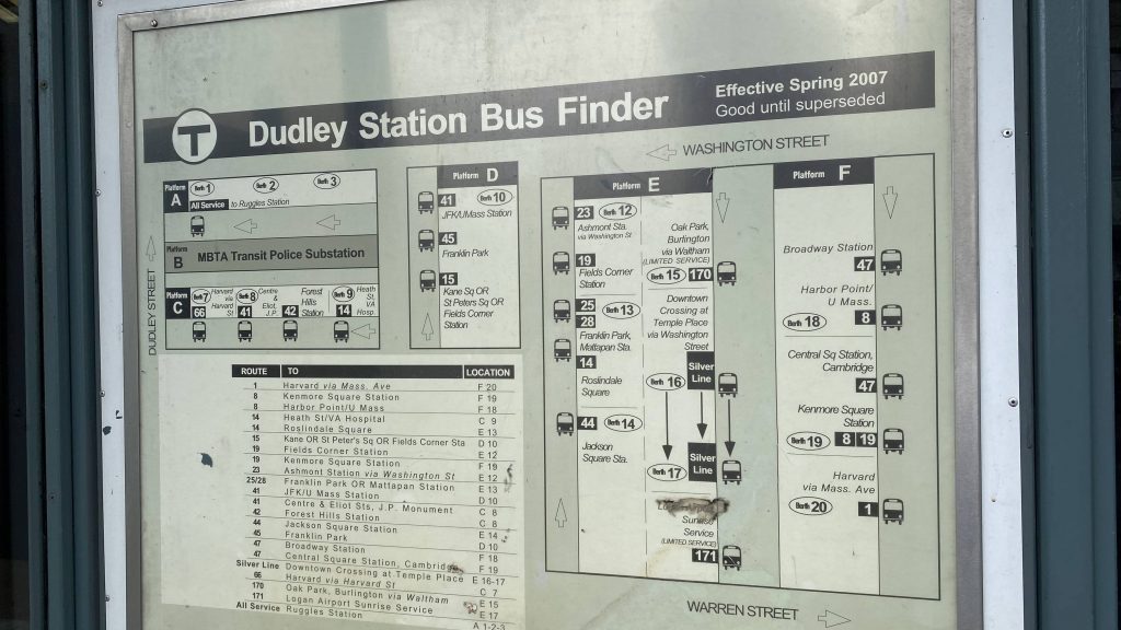
– a $20 for a day pass (on CharlieCard or a Commuter Rail zone 1A ticket)
– enough money for an Uber to Medford from South Station
– a ticket for Regional #166 (departs 12:26 AM on Monday)
– a zone 8 Commuter Rail ticket (for the return)
– something to snack on
– money for breakfast (I was planning on going to Kelly’s Diner in Ball Square)
This was, by far, the most deranged, insane, sadistic, masochistic, unhinged idea I’ve conjured up. And I was going to fucking do it. I was committed, and nothing could stop me. Not even the forecasted snow.
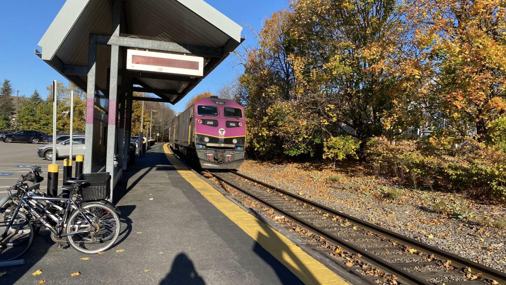
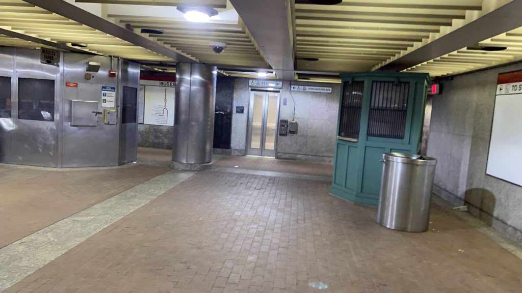
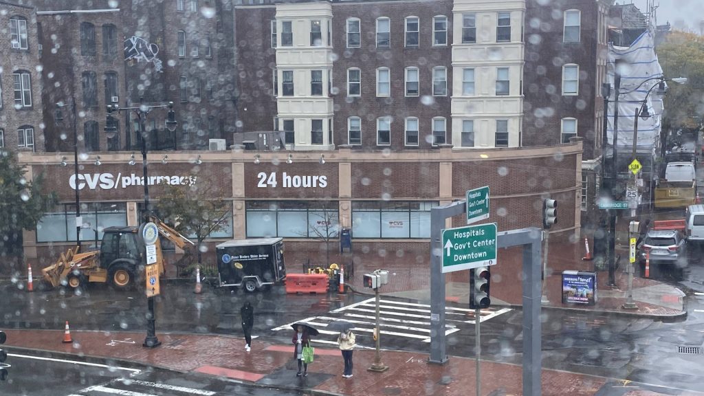
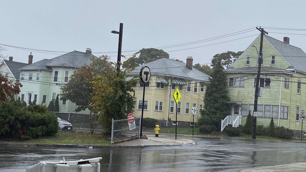
Fast forward to December 11th. I wake up at 5:30ish in the morning and bathe, as usual. Before meeting up with a friend, I had planned to buy some snacks for later at my local CVS. From there, I spent the day with them, with their mom being nice enough to offer English muffins for breakfast (thanks!). From here, after hanging with her for a bit, I decided on an impromptu visit to my dad, who lived in the same area, as the 22 was being useless as usual. Of course, after spending the rest of the day with him, he dropped me off at Providence Station relatively early, at 7:30 PM. I had 5 hours to spare.
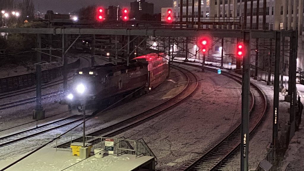
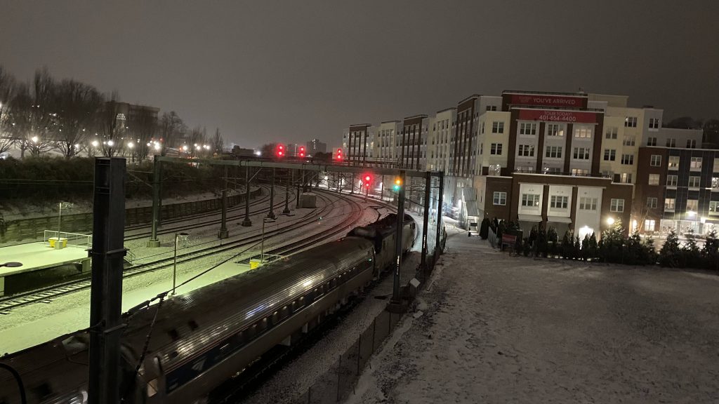
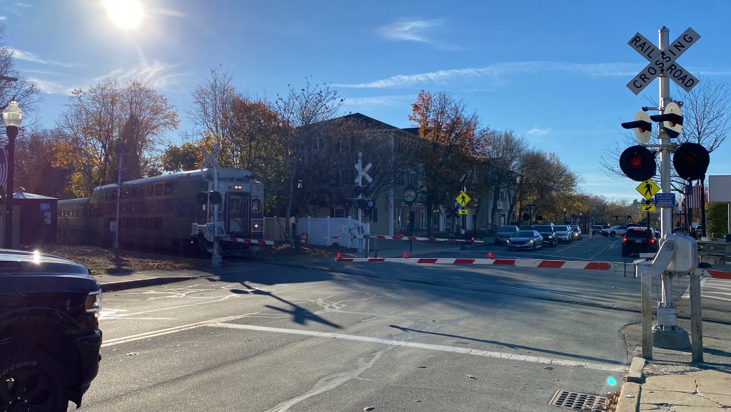
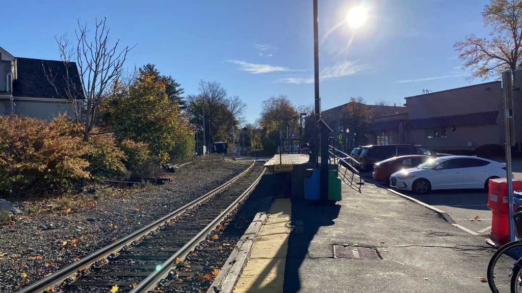
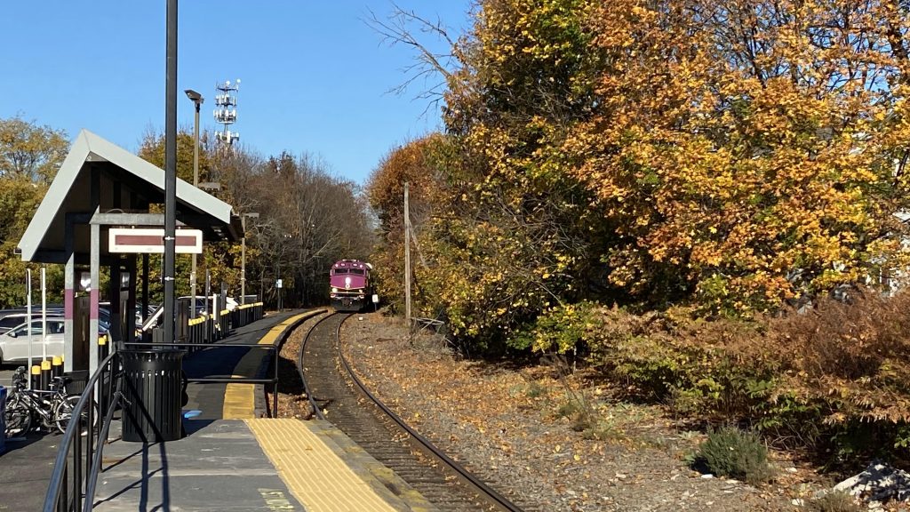
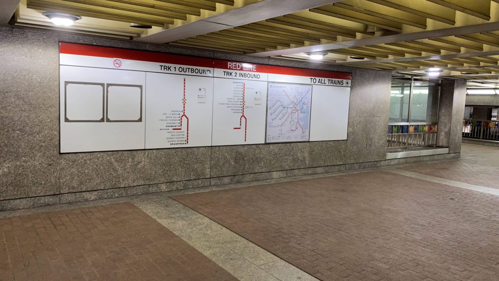
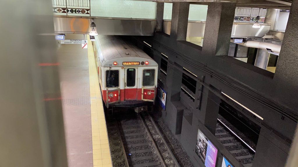
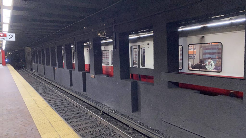
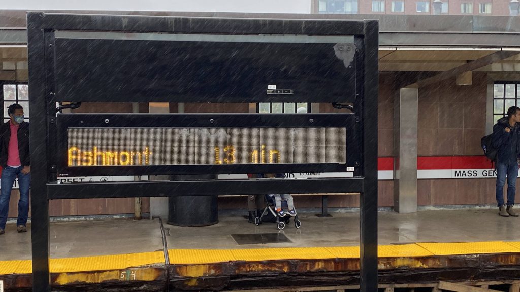
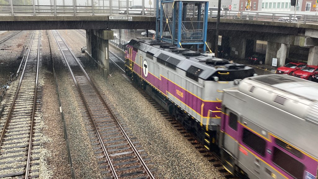
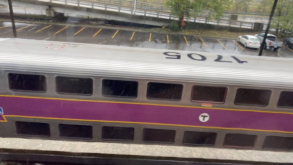
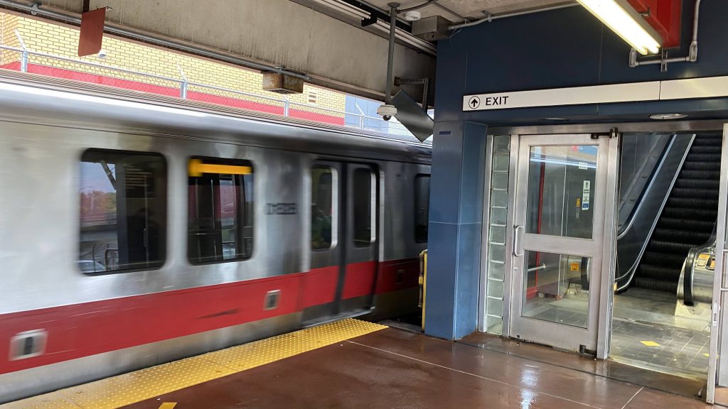
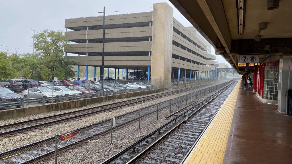
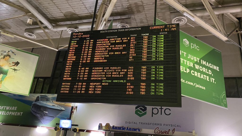
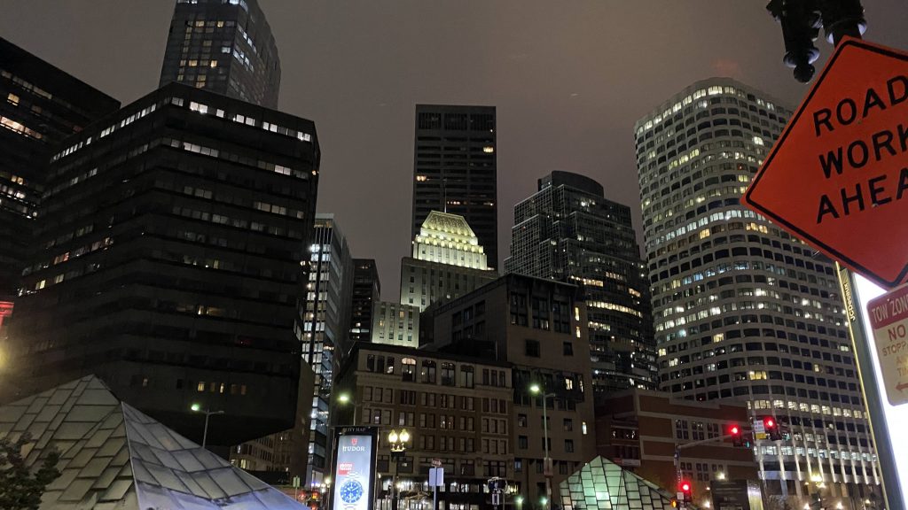
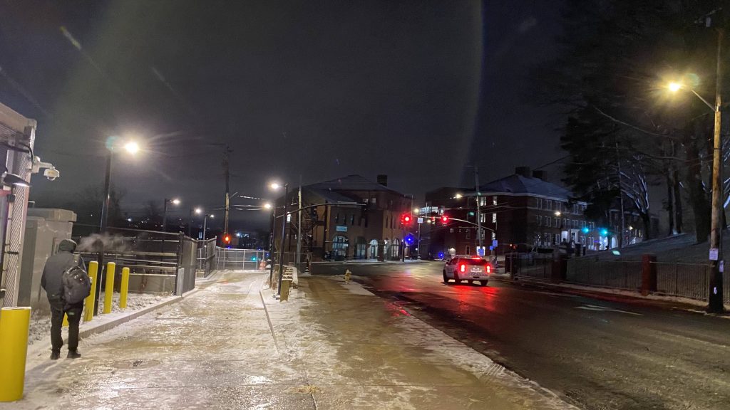
I managed to get a couple of shots of trains, and after about 6 hours and a 20 minute train delay on the last train, I finally made it to Boston. To be quite honest, Boston feels like an entirely different place at 1:30 AM. Hell, I’ve never seen downtown Boston as sleepy as I had. Even taking the Uber to Medford, with the view of the casino in Everett was an entirely different feeling. With my dropoff being a 7-Eleven, I had a mile walk ahead of me after buying some water. Of course, me being me, I braved the walk (it wasn’t bad), and I made a deviation on the way to admire the Boston skyline from afar, from Ball Square.
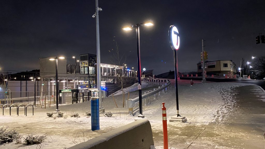
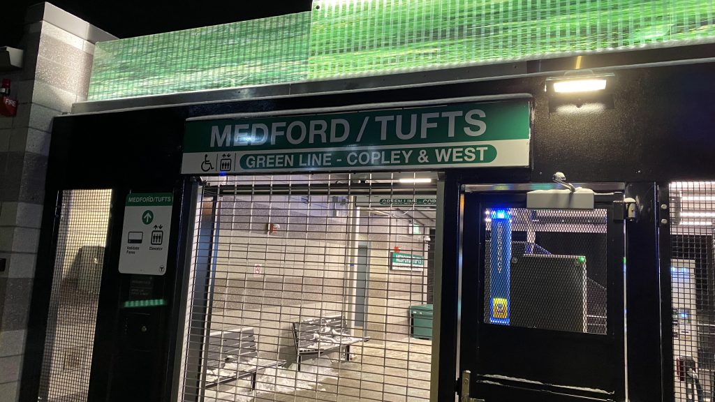
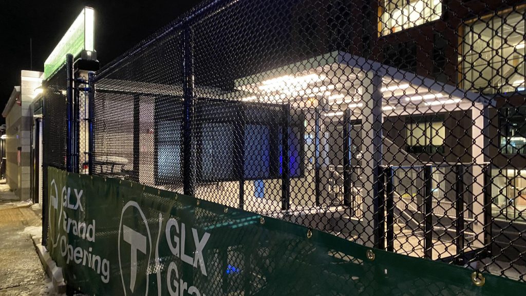
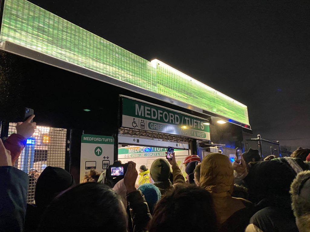
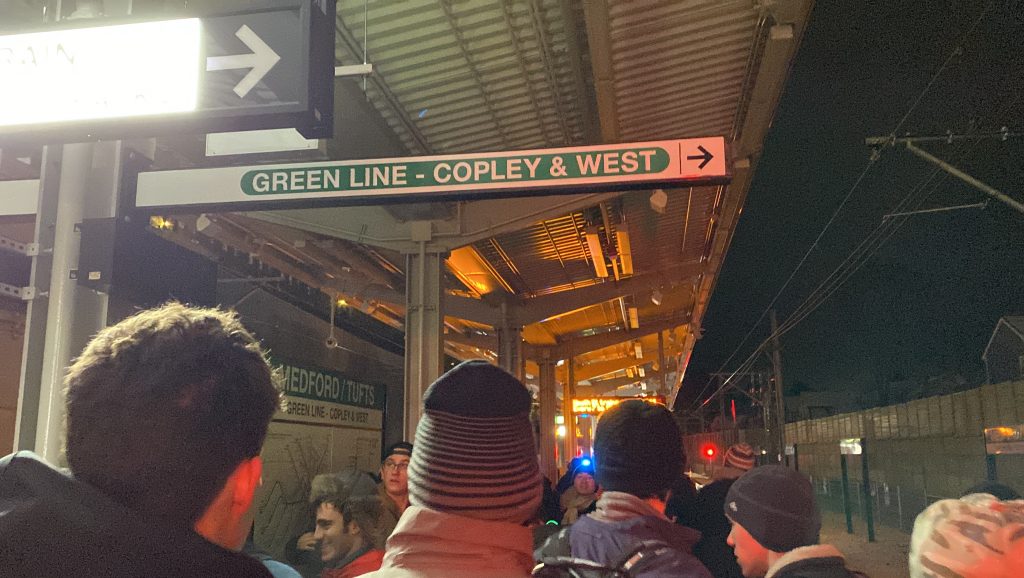
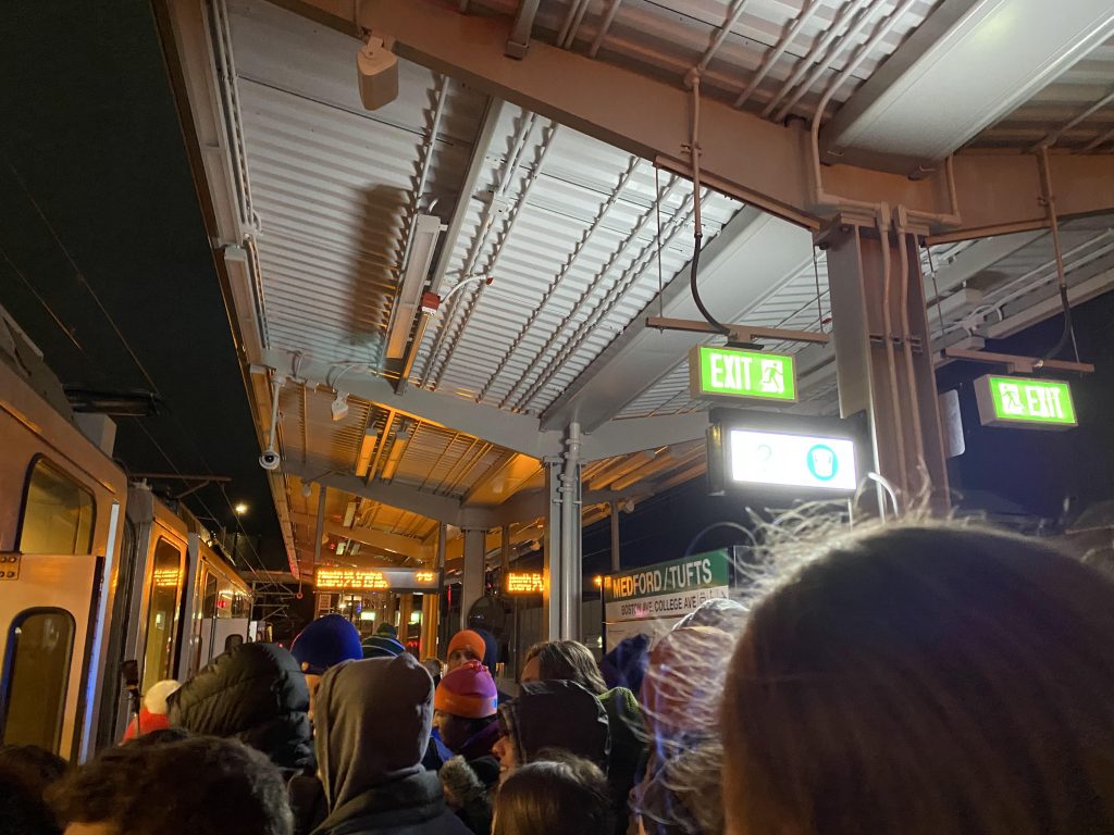
Of course, we’re not here to talk about Ball Square. We’re here to talk about Medford/Tufts University. So, I made my way there, and when I did there was a big wig from Tufts, along with some MBTA personnel, some of whom I talked to about the GLX, mainly more at the fact it’s finally finished after more than a lifetime of effort. So, thankfully, I wasn’t alone.
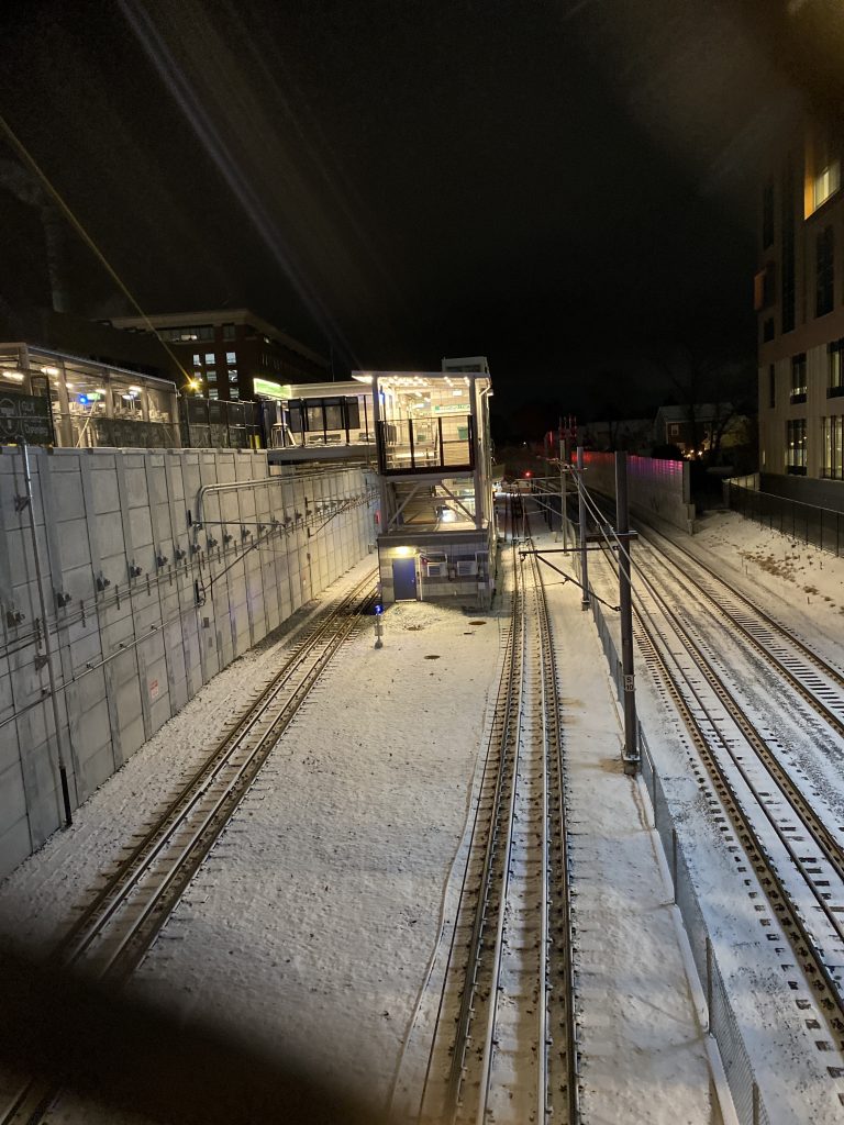
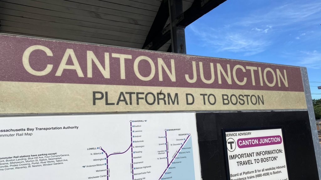
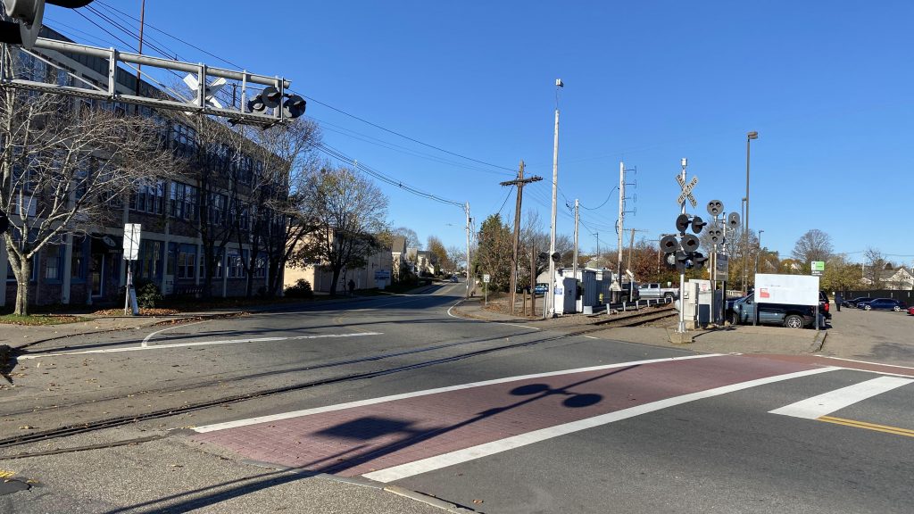
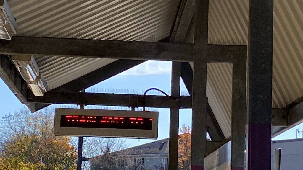
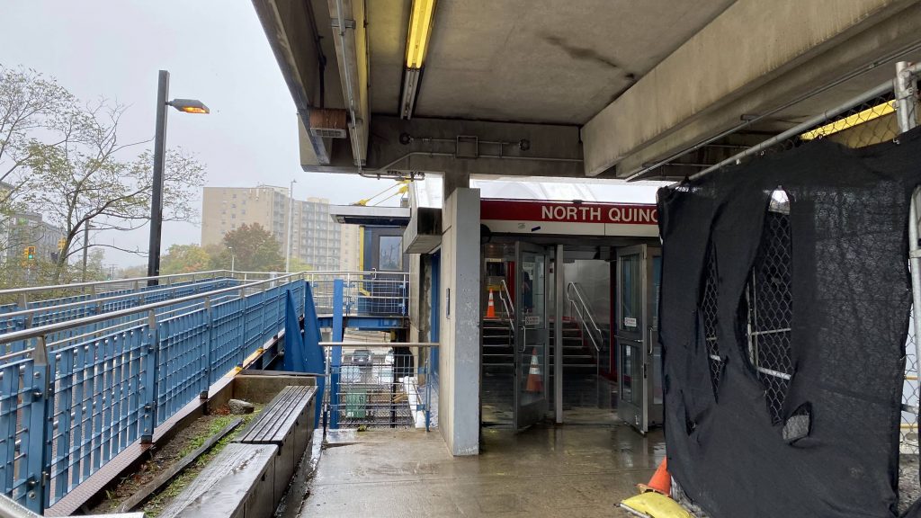
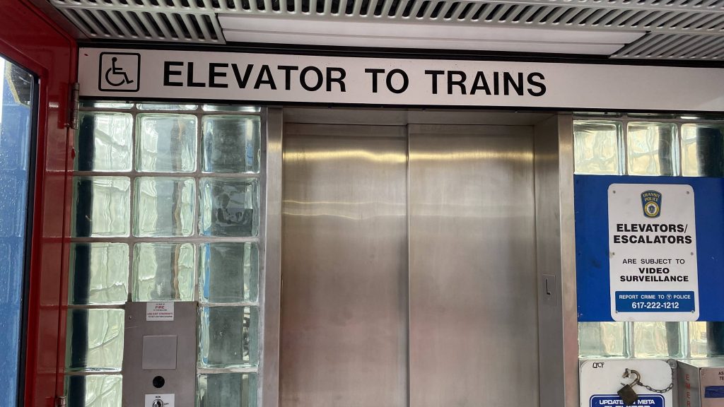
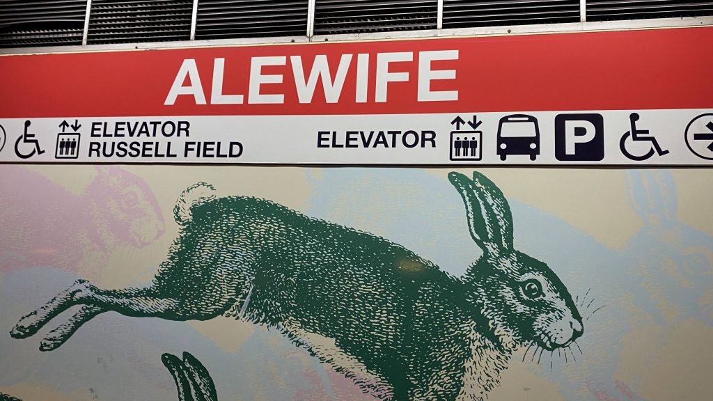
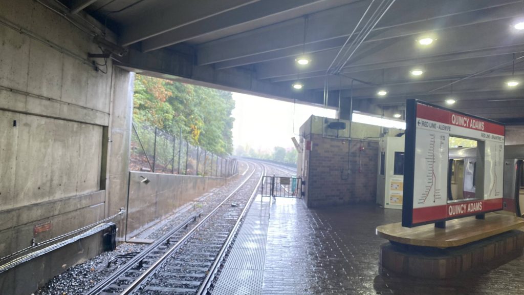
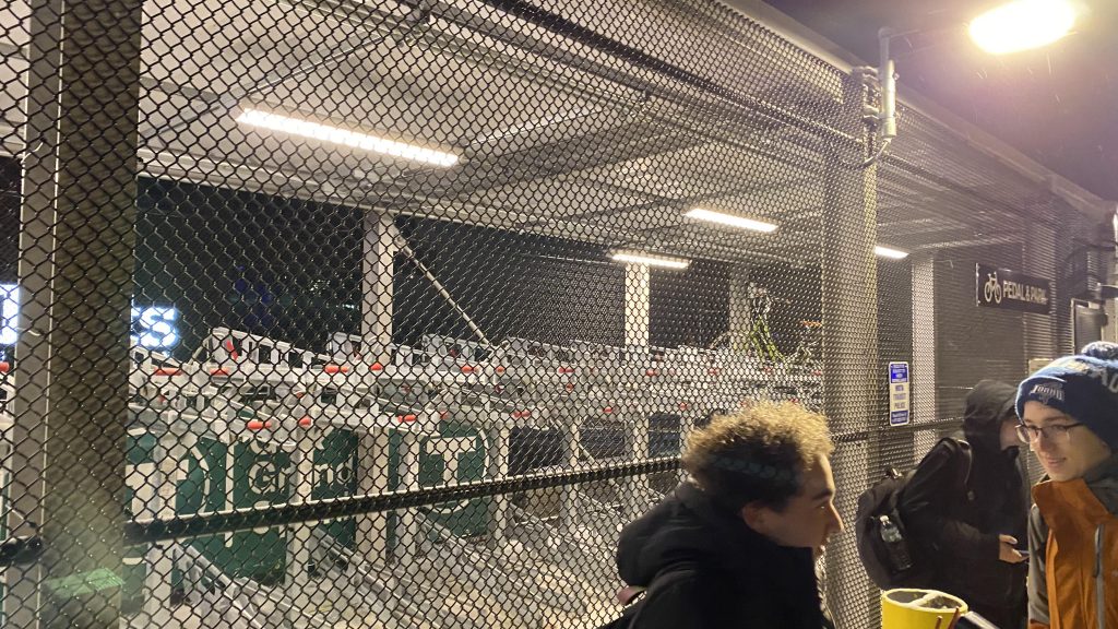
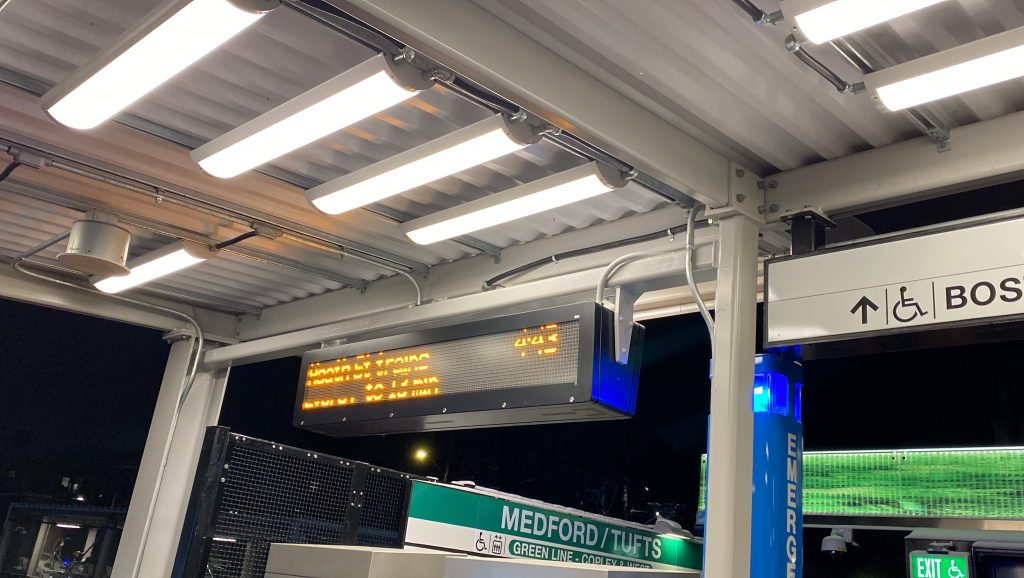
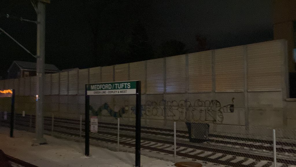
The station is sandwiched between College Avenue, Boston Avenue, and the Lowell Line’s right of way. A small bridge goes over one of the tracks, where fare vending machines, elevators, and a restroom(?!) can be found. No fare control though, so looks like it’s the honor system again. Moving down to the platform, you have two track stubs for the Green Line to terminate, some artwork, the Helvetica signage, a system map, and a sign indicating which track is departing like at Forest Hills, Alewife, and Braintree. Neat! A Pedal & Park can also be found at the station entrance.
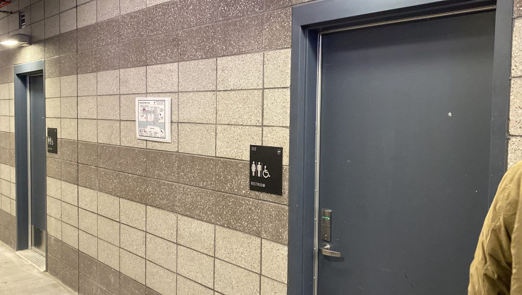
The good: It’s a very, VERY important location! Tufts University formerly had (and barely, at that, with a hill in the way) Davis Square, and just Davis Square, for rapid transit. Now, they get the Green Line to the front door! Also, there’s bathrooms! You don’t see that at many stations not named “North, South, or Back Bay Stations”!
The bad: Really? Honor system still?! Yeah, they just yelled at us to not worry about validating for the first train. Still had to pay for the return from Heath Street, but that was to be expected. Also, the bus stops aren’t well signed.
Nearby points of interest: Tufts University is the big name here!
Transit connections:
Green Line (E)
MBTA bus (80, 94, 96)
Overall, this station is major, and is probably going to be the source of heavy ridership for the branch. Furthermore, the nature of the station (bringing rapid transit directly to Tufts) makes it quite a historic day for the area. Will the rest of the stations hold up? Stay tuned to find out!
Rating: 8/10
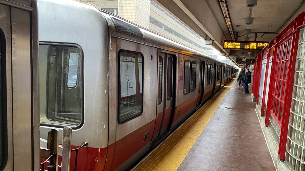
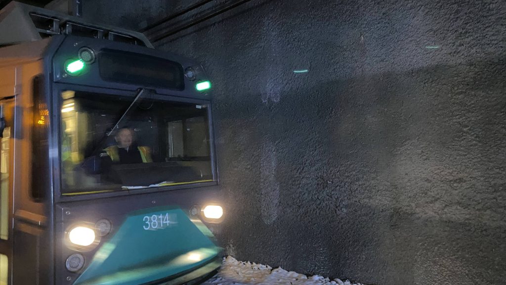
From here, I rode the train all the way to Heath St., and tried to go back up, meeting up with Conor on the train, and Lynx at Heath St. Unfortunately for us, the train was taken out of service at Park St., and we had to wait. And, while they all went to Ball Square for festivities, I skipped out, instead opting to check out East Somerville. Stay tuned!