(NOTE: this will be rendered obsolete when the new Middleborough station opens with the South Coast extension. That will be linked when it’s ready.) (NOTE 2: This was written before South Coast Rail opened and this became CapeFLYER-only, effective 2025-03-24)
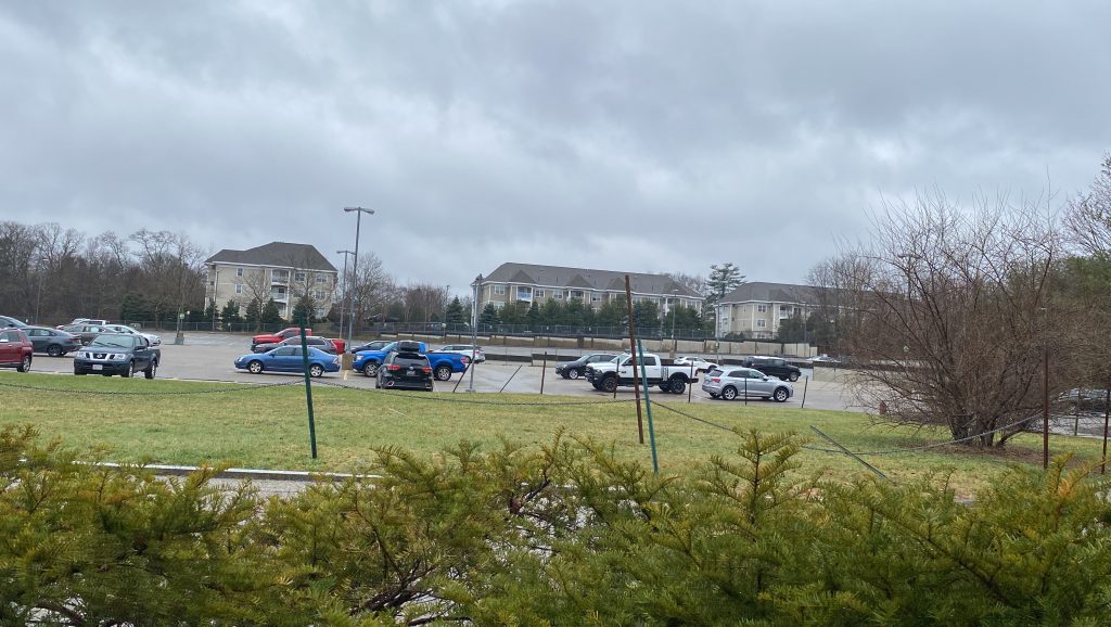
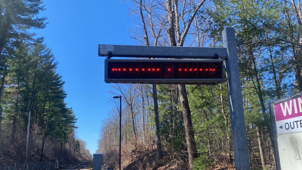
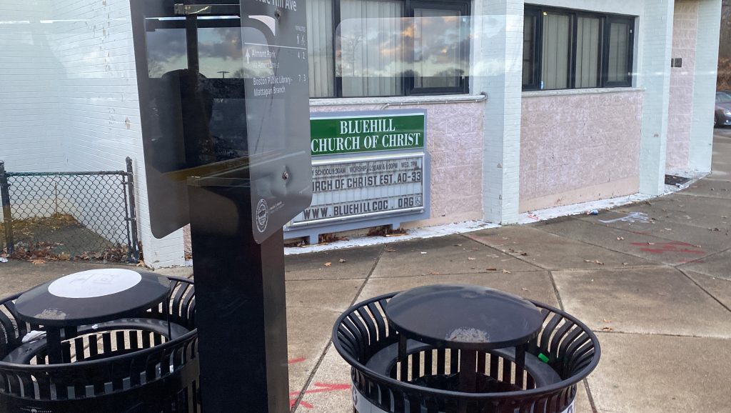
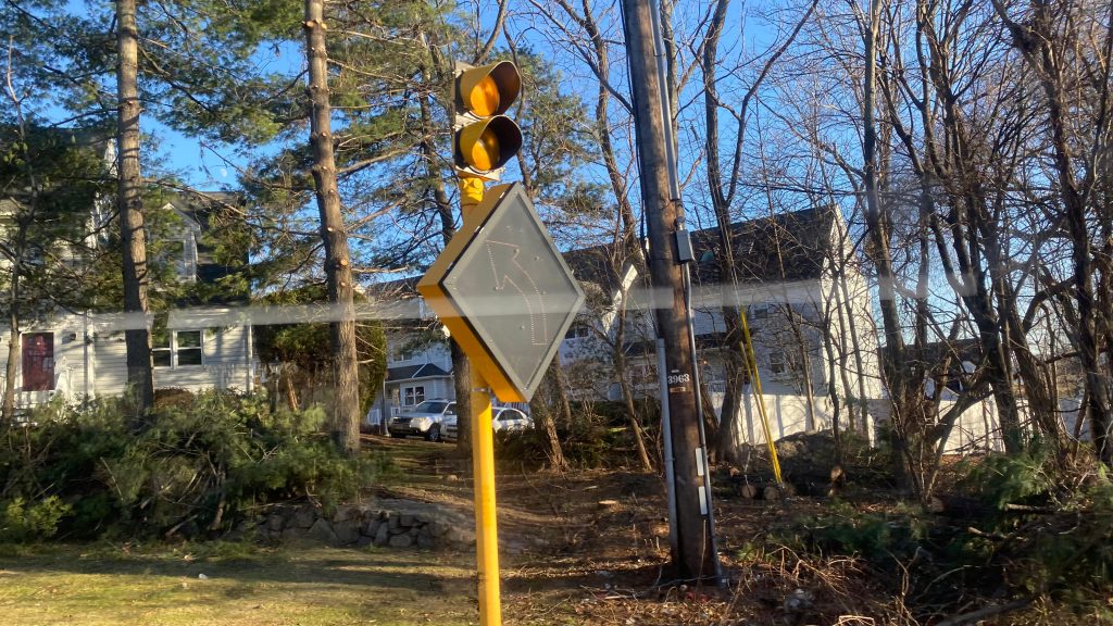
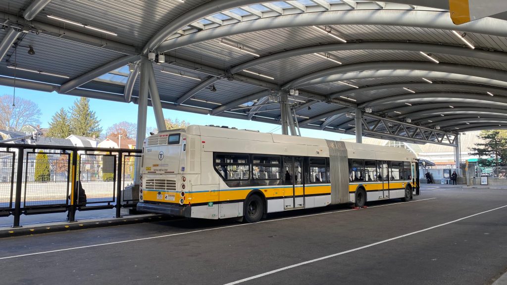
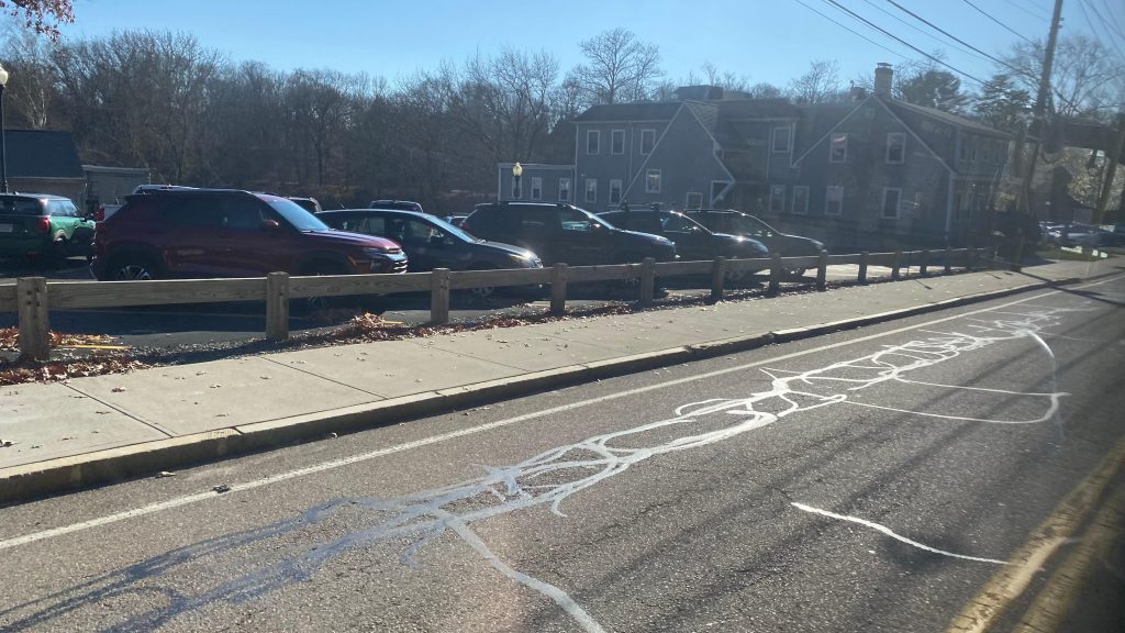
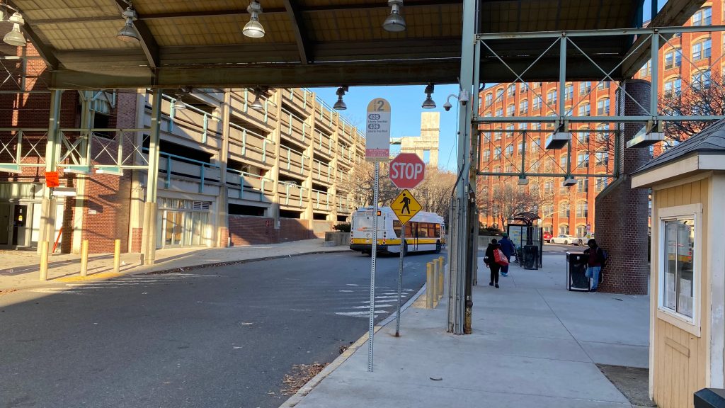
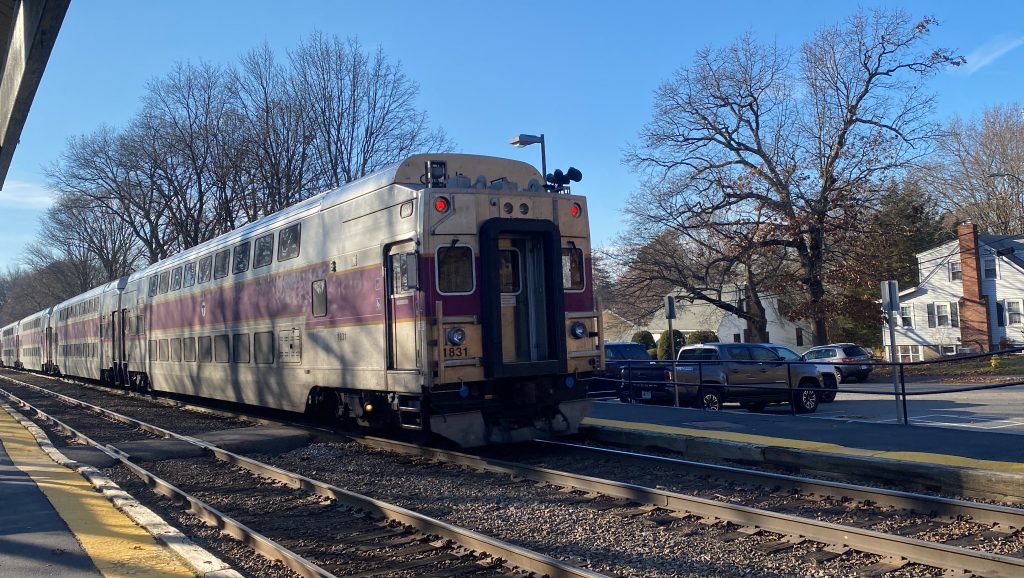
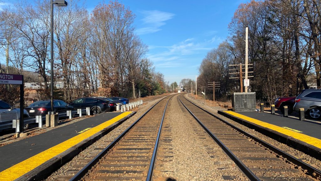
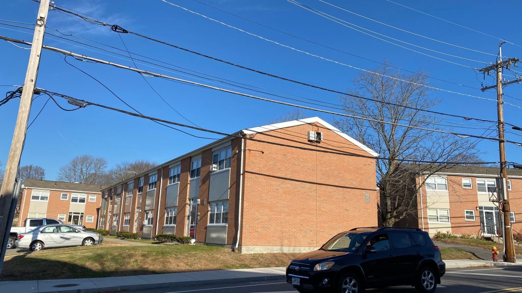
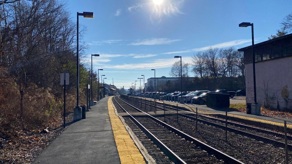
Middleborough, Middleborough, Middleborough… What do you have as an end-of-line Commuter Rail station? Well…..
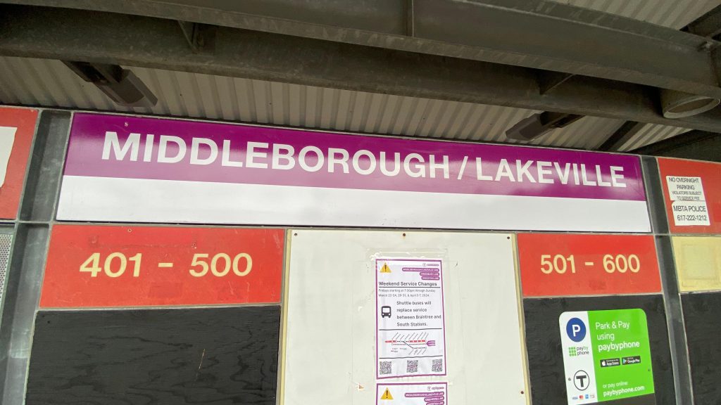
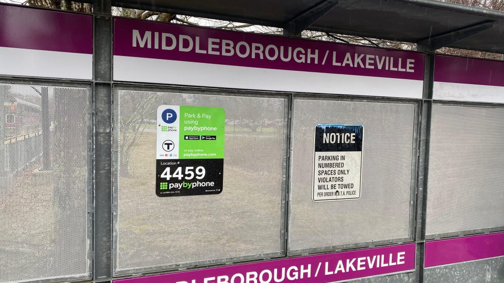
OH LAWD THAT’S A LONG SIGN
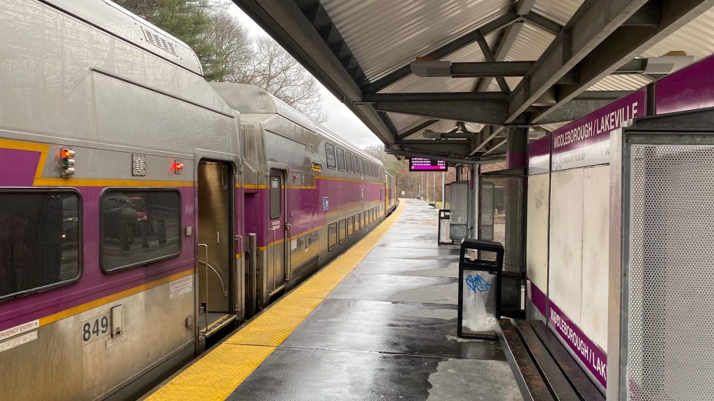
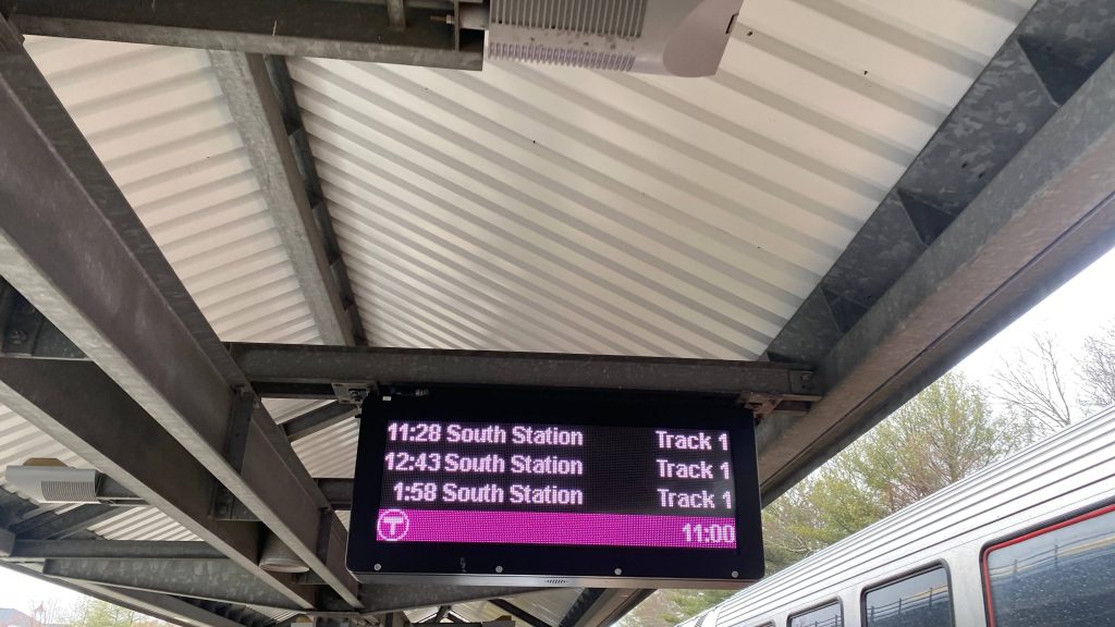
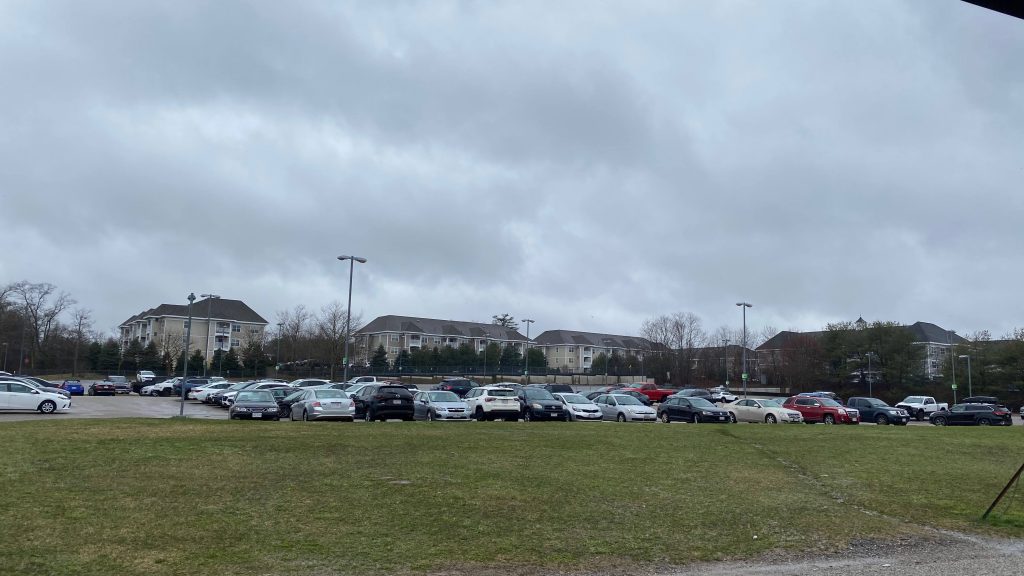
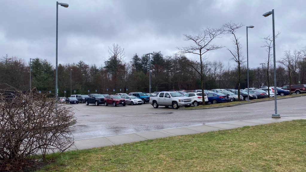
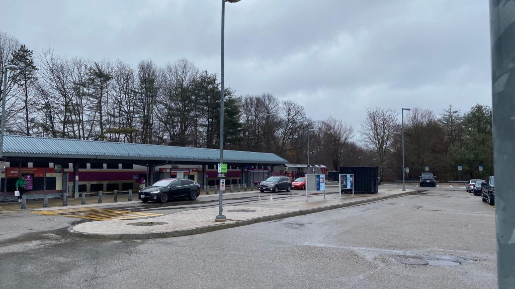
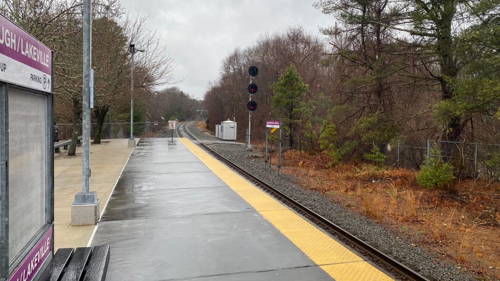
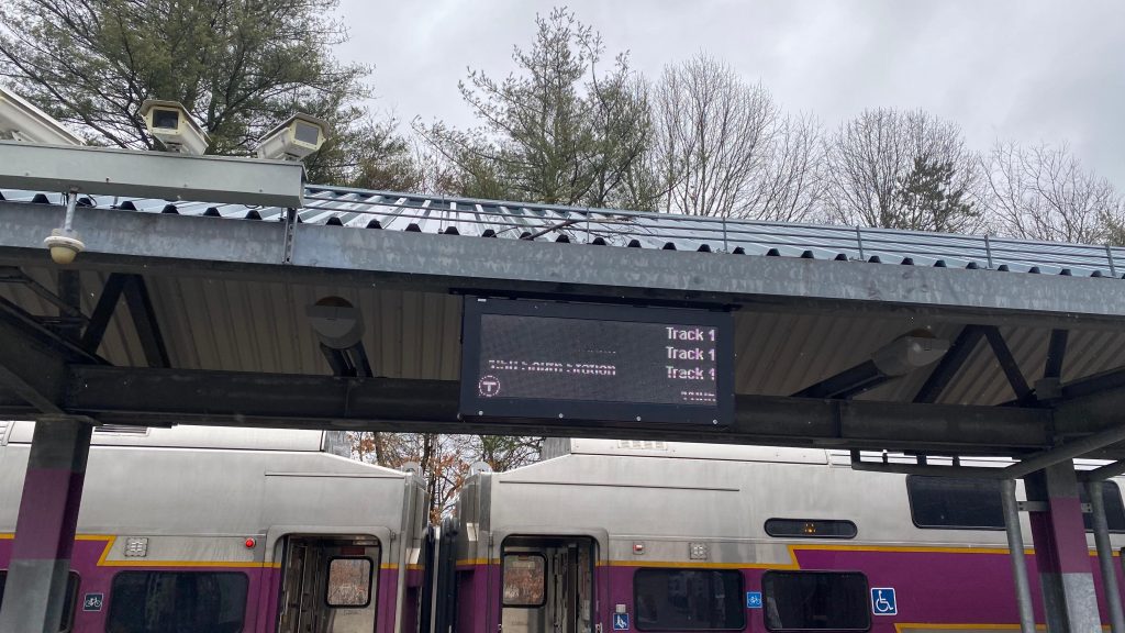
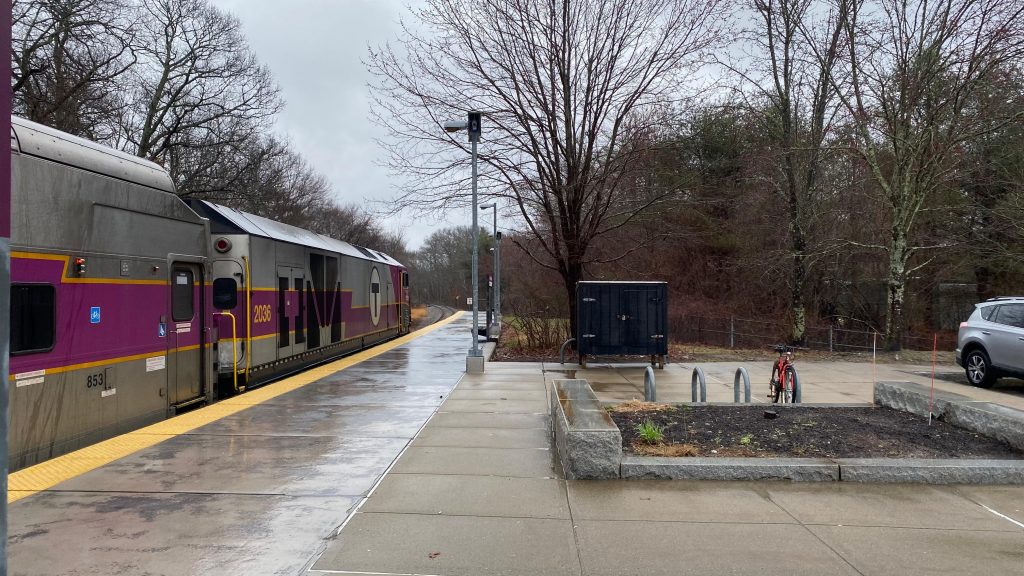
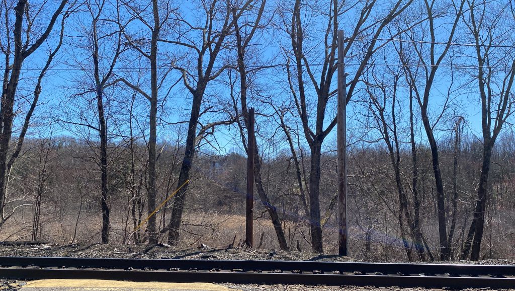
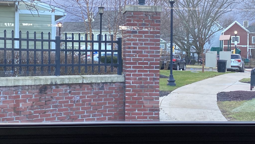
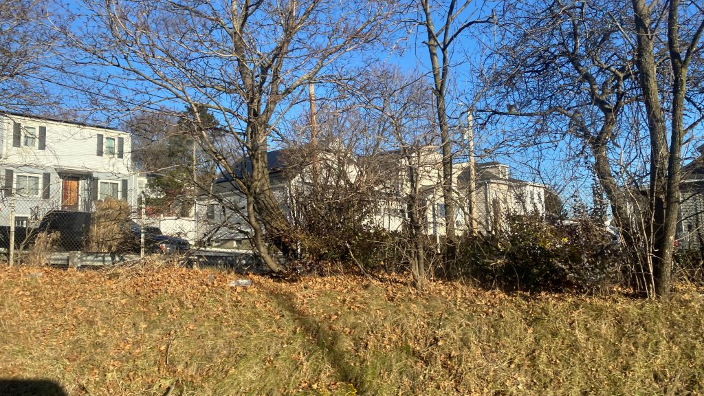
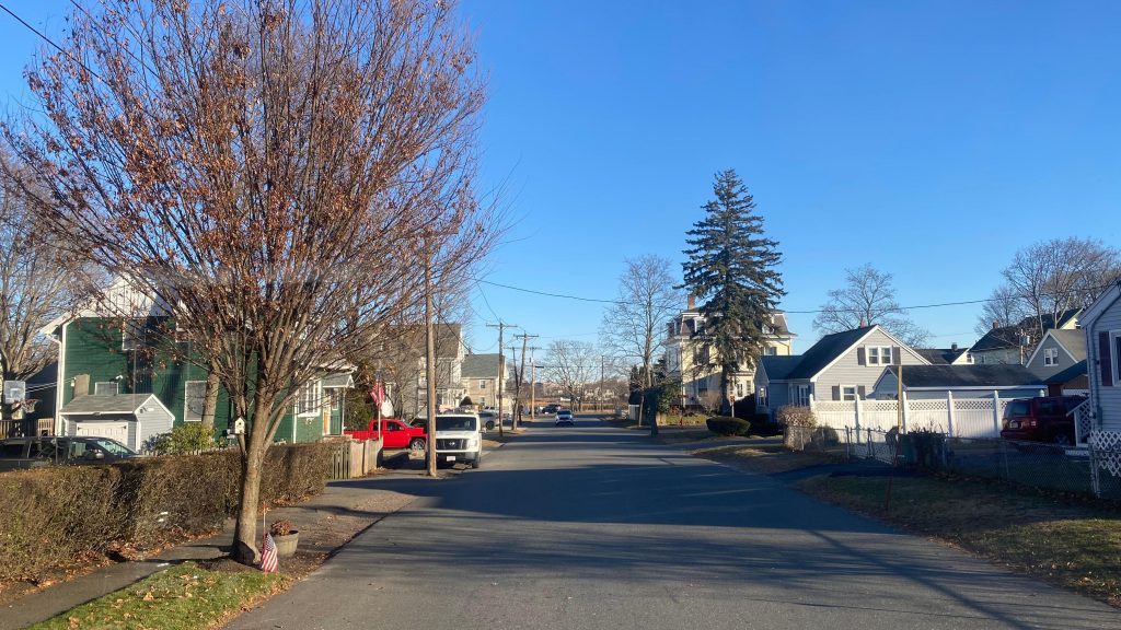
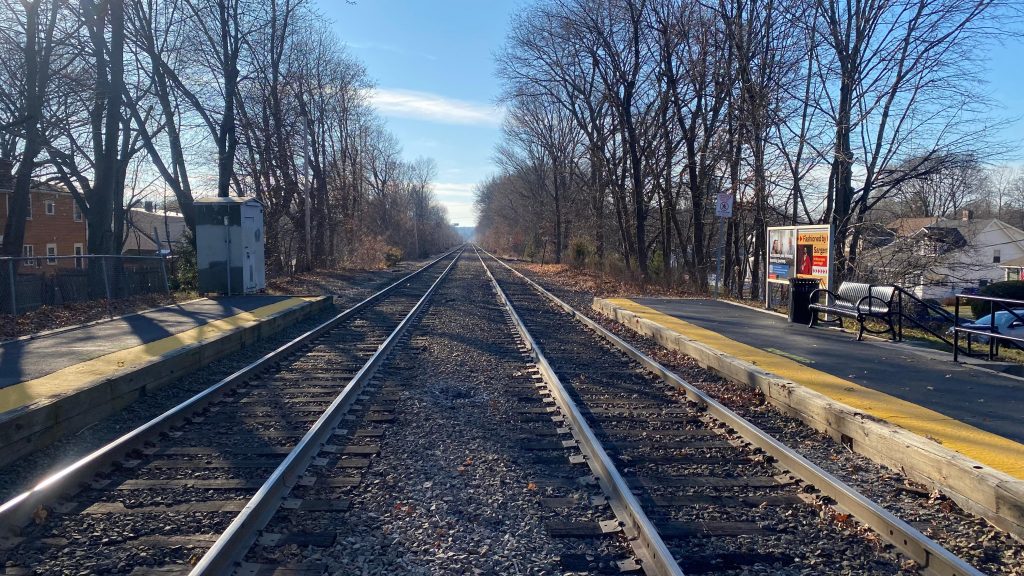
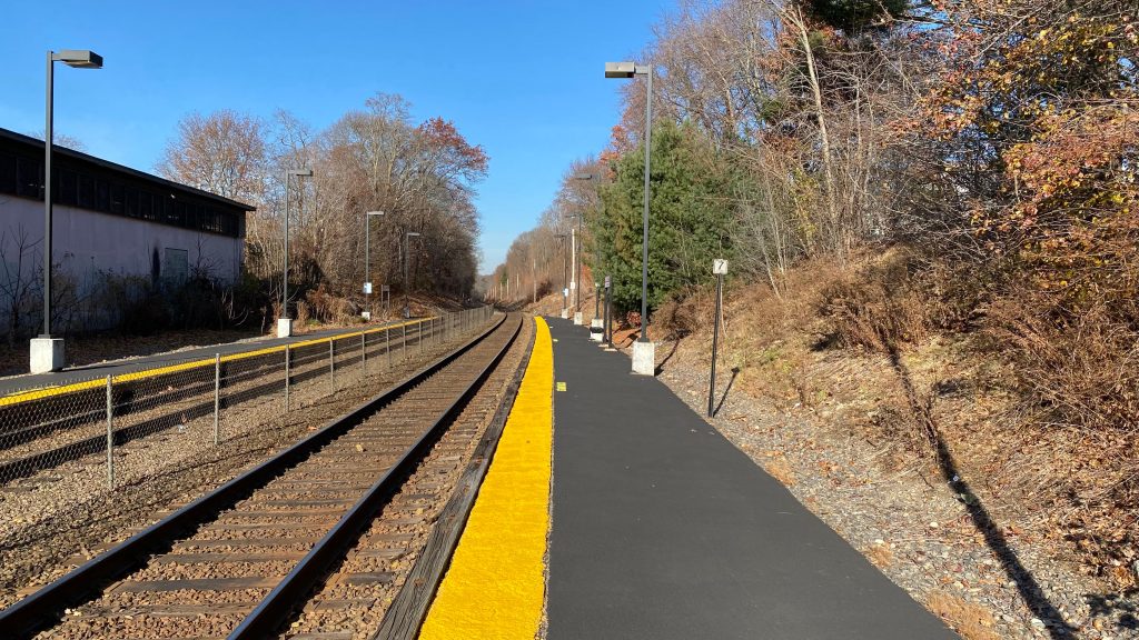
This has got to be, quite possibly, one of the longest station names on the entire Commuter Rail system to be printed in Helvetica Bold typeface. Maybe second to “Commuter Rail to Boston” heading Newtonville (is that inbound or outbound?). Well, whatever. The station is pretty standard. You have your shelter, a departure board with all trains signed for Track 1 (duh, there’s only one track), a copious amount of parking, and allegedly a GATRA bus connection. I mean, it exists in timetables and GTFS at least? There’s also some apartments nearby, though not to the same degree as Windsor Gardens. Lastly, there’s also the CapeFLYER during the summer, which if rumors are to be had, this station is expected to be orphaned to CapeFLYER-only status after South Coast Rail opens, and presumably with a rename to not cause confusion with new Middleborough? Maybe rename to “North Lakeville” or something? Location? It’s not really in Middleborough or near the town center. Eww.
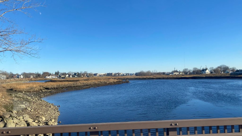
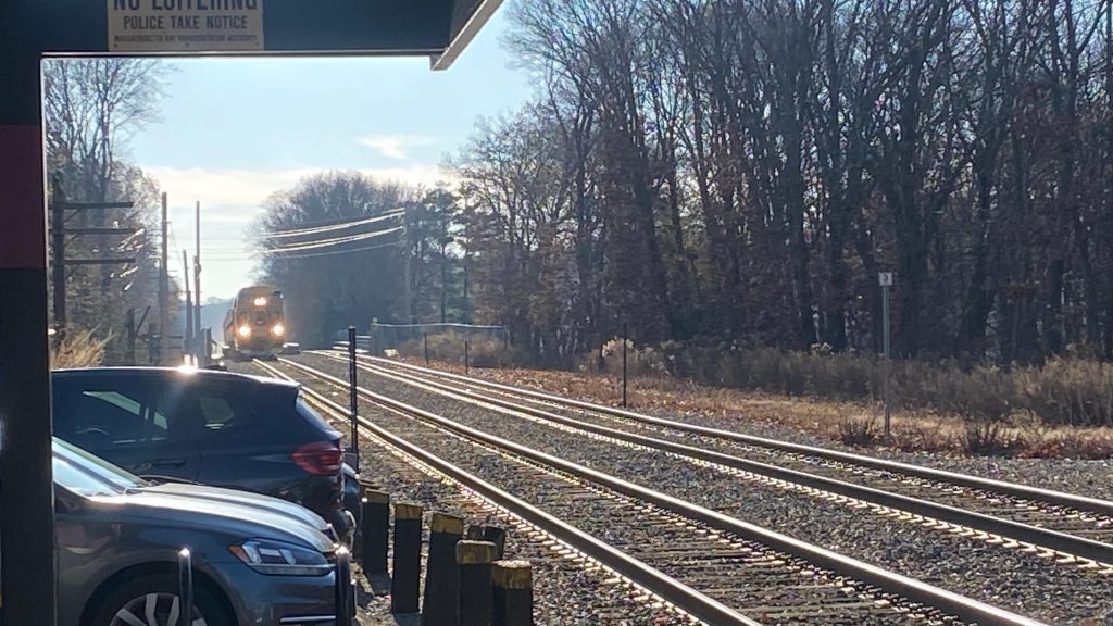
The trainDeparture boardThat’s a lot of parkingIs this necessary?!There’s even a kiss & ride, and I think GATRA boards here?Towards BostonAnother signYet another parking pictureI hate photographing these.An HSP facing towards Hyannis
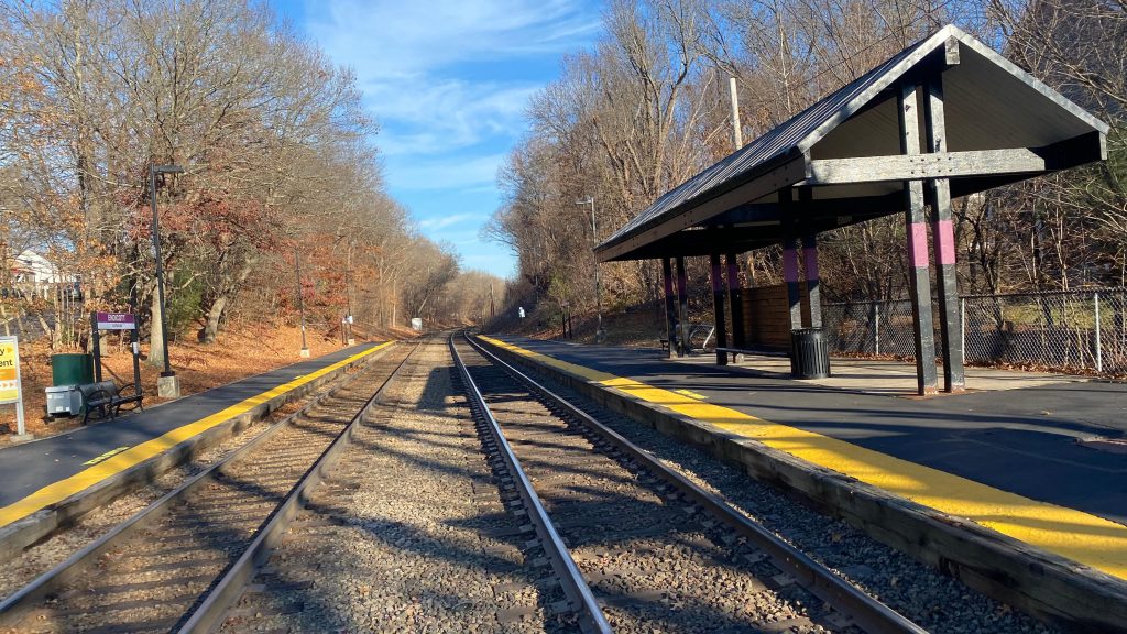
The good: It’s got some bicycle racks, a lot of parking (maybe too much?), shelters and usual amenities to expect from a standard Commuter Rail station. It’s also got full level boarding (which will be a common theme with this section of the network) so yay.
The bad: It’s kinda in the middle of nowhere, far from anything… It’s also not really useful outside the summer months, as a CapeFLYER-only station (as of 2025-03-24)
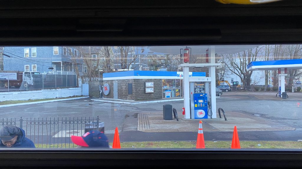
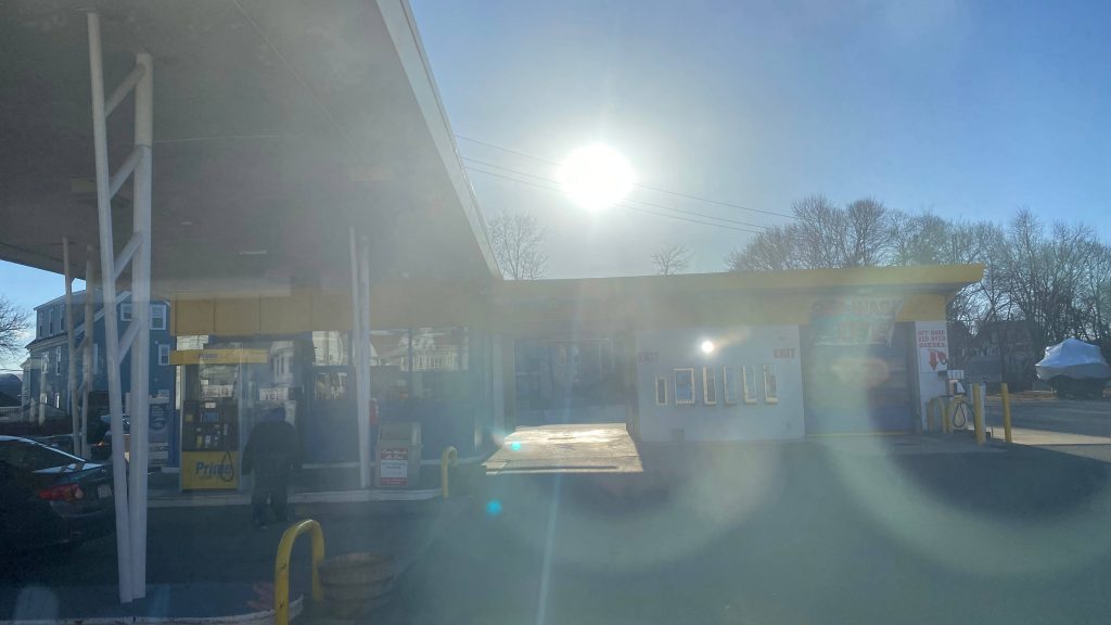
Nearby points of interest: Not a lot. I mean, if you’re willing to walk a bit down a stroad, you have a Shell gas station and a local pizzeria!
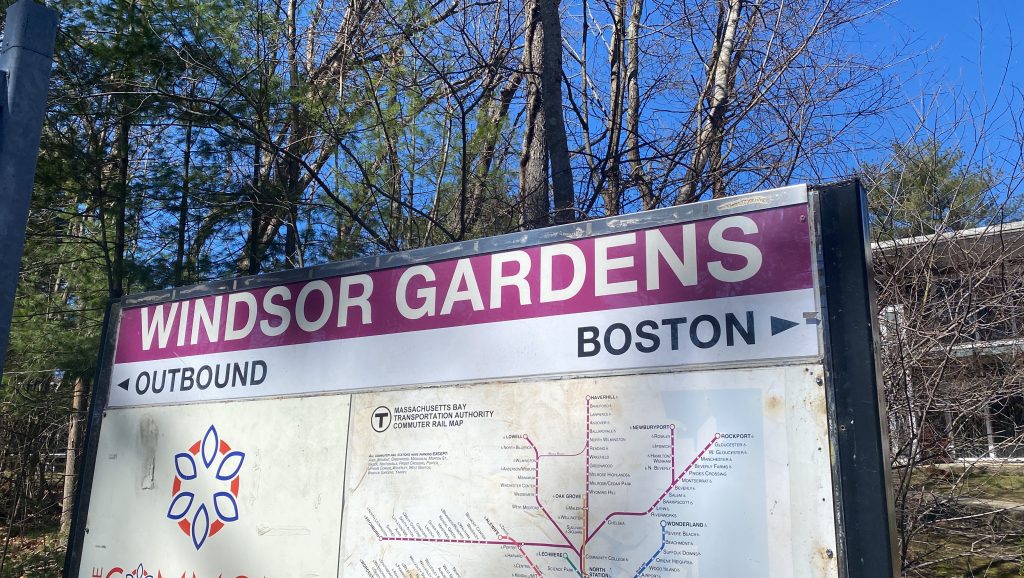
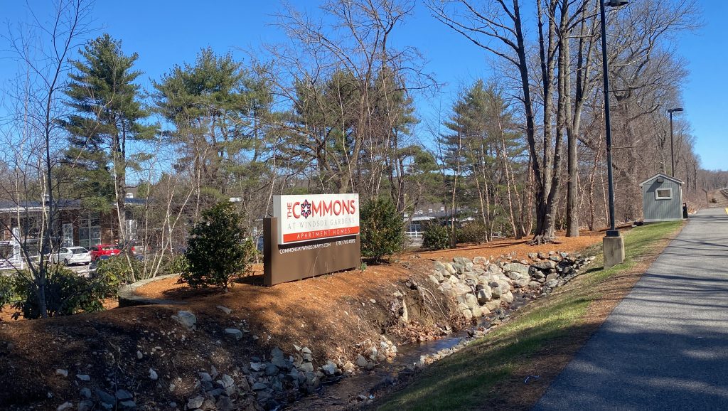
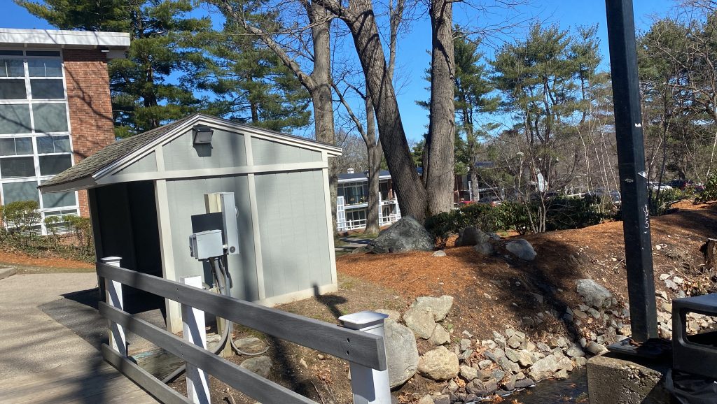
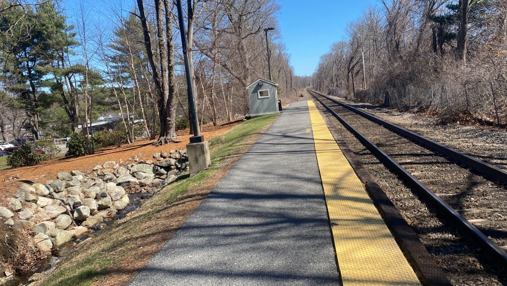
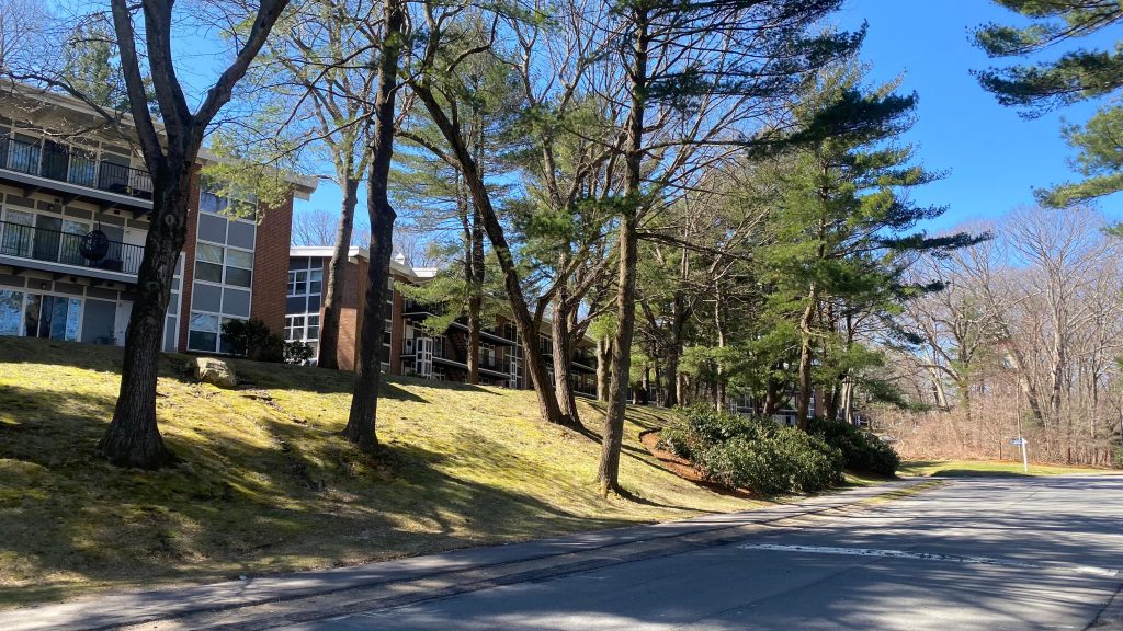
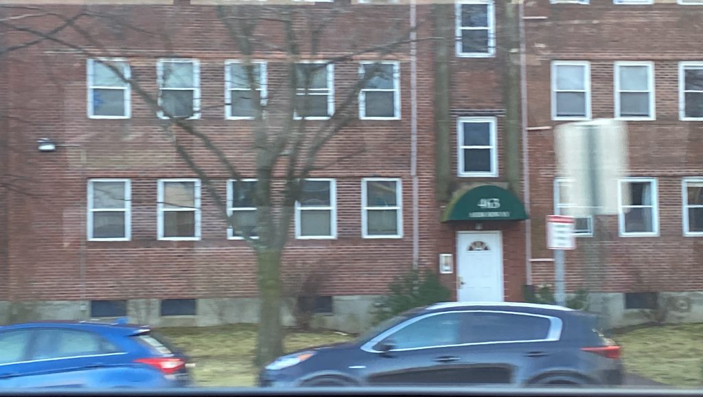
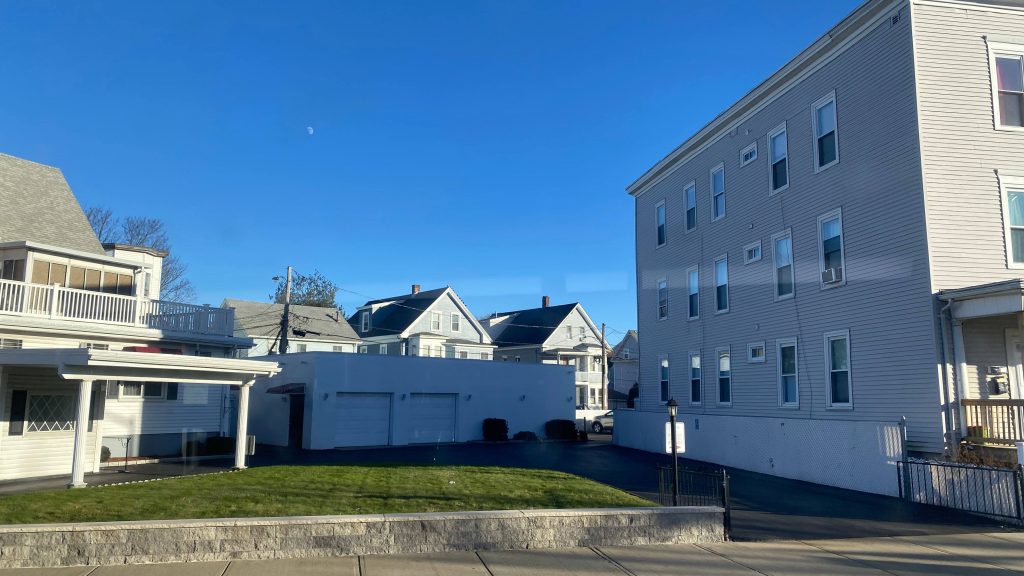
My friend Metropolis has been quoted with saying “they put a Commuter Rail station in someone’s backyard” and I followed up with “not once, but twice”. This was in regards to Endicott and Islington. However, what if I told you they did this to an apartment complex as well? Meet: Windsor Gardens.
Helvetica signage!Apartment complex signage!
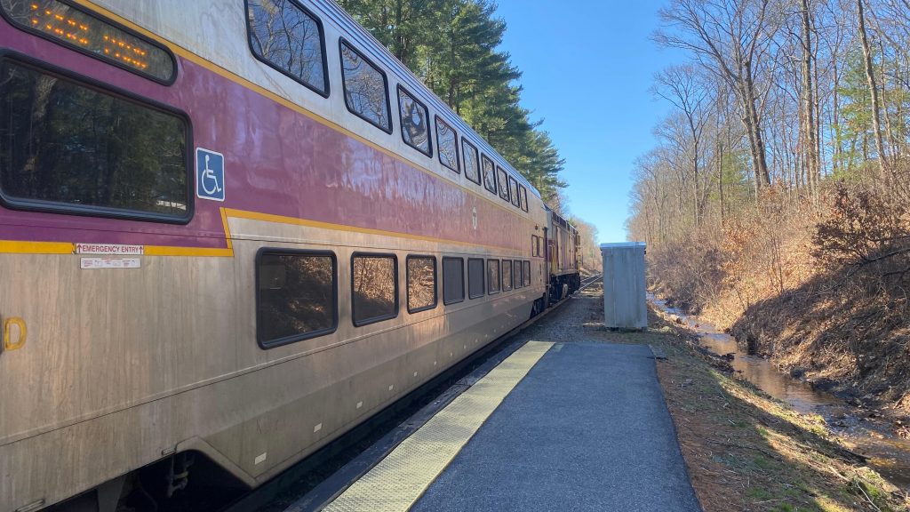
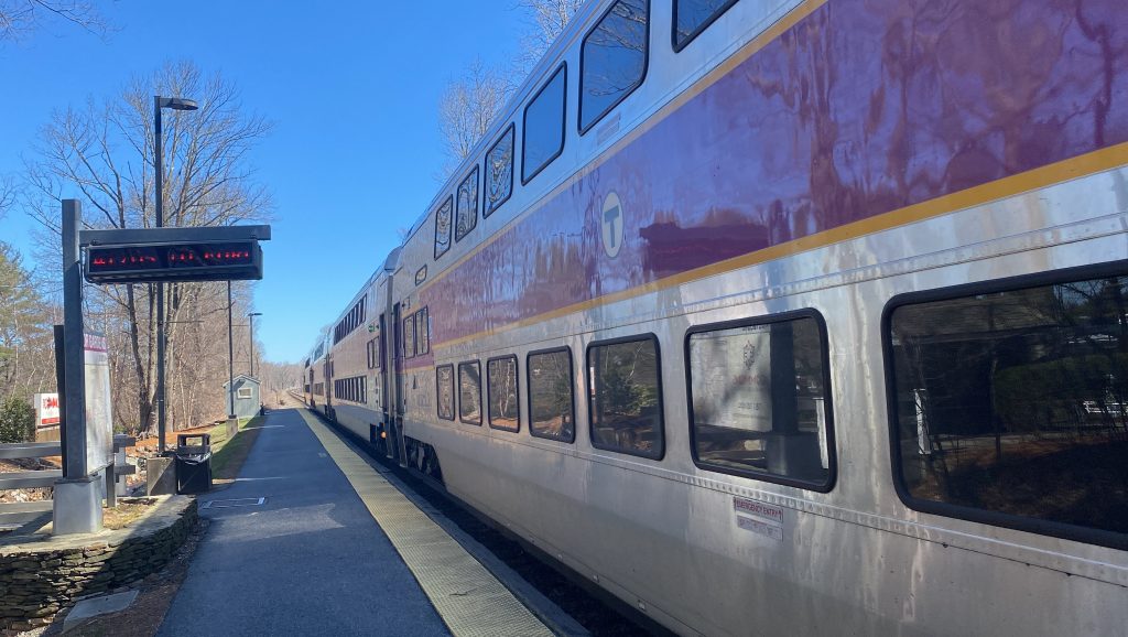
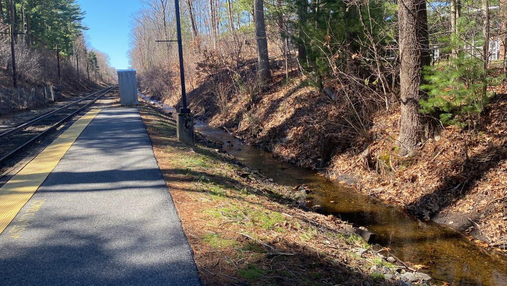
Windsor Gardens is an apartment complex located in Norwood, Mass., and has no transit connection aside from the Franklin/Foxboro Line. It is also not very accessible by ADA standards either, which is a big “yikes”. However, as for what the station DOES offer? Well, the station is a big selling point for the apartments here (which are by no means affordable, they start at $2000 a month for a 1 bed! But, there’s amenities included like clubhouses, playgrounds, and the Commuter Rail.), for one. For two, you have a nice creek running through the area. And three, you have a nice little sheltered waiting area on the end of the platform towards Boston. Neat! Overall, it’s actually kinda nice. However…..there is a second illegal entrance people use, which may have been a source of a trespasser strike the day before I came out here… yeah….. if that entrance was legitimate, it’d make a walk to the 34E a lot faster.
F40PH!!!The backside of the trainWhat a lovely little creekI hate photographing these.They probably bought this shelter from Lowes or Home Depot.Towards Boston!The apartment complex!
The good: It’s waist-deep in an apartment complex, and as such is a major selling point! It’s also a flag stop for all trains, being one of two stations to hold that title.
The bad: It’s inaccessible, single-tracked, the secret path that allegedly exists is a safety hazard (someone DIED, allegedly, the day before I came out here), and I can’t help but feel 2 shelters might not be enough. Oh well!
Nearby points of interest: The Commons at Windsor Gardens!
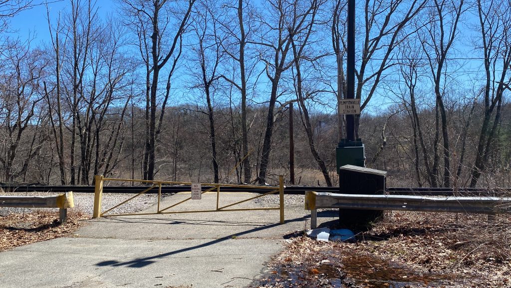
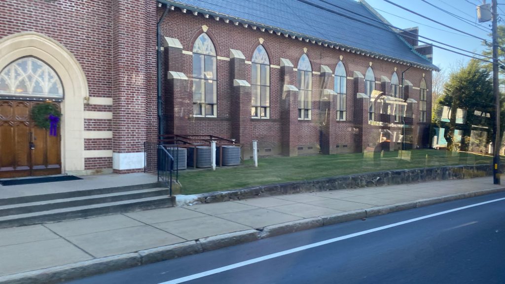
Wait, I thought I already did Walpole! Whelp, apparently not, because there’s a shuttered microstation out here. Let’s take a look at it though, shall we?
Plimpton Street
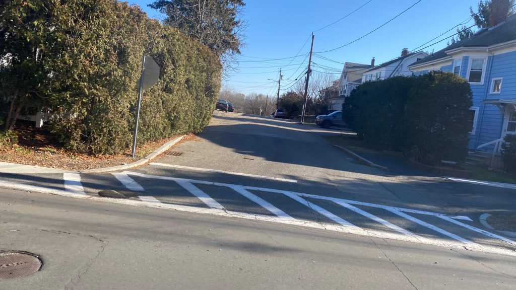
Plimptonville is a small station in the middle of a residential neighborhood in Walpole, Mass., and was named after the Plimpton Iron Works that was near here. Over the years, though, the mill renamed, closed, and the MBTA tried closing the station in the ’80s. However, 20 someodd people protested, and coincidentally that was the station’s ridership at last count before being shuttered. The station was also the least-served station on the T, being only one weekday round trip, weekdays only. Yep. That is sad. The station itself is pretty sad too. You have no parking, a mini-low platform, a light, and a sign saying “PLIMPTONVILLE TRAIN STATION”. You don’t even have a damn sidewalk. Yikes! The Franklin Line is also single-tracked through here, and I’m sure it’s an okay place to railfan both it and CSX. Anyways, yeah, this station sucks so badly, it’s quite possibly the sorriest station on the southside lines. I genuinely cannot think of anything worse. Islington? Nope, that’s got shelter. Newtonville? At least that gets actual service and has connections. Even freakin’ RIVER WORKS is better. Well, there ya have it. Quite possibly the shittiest southside station.
Oh this is bad.No sidewalk!Some housesA cliffMini-LOWTowards Foxboro and Forge ParkAnd towards BostonThe Neponset RiverAn overpass
The good: This station’s closed! In theory, the entire station can also be used as a restroom!
The bad: This station has no walkshed. There’s no sidewalks. The Franklin Line is single tracked, the platform can barely handle one door, and there isn’t even any bus service on MA-1A!!! What the FUCK?! There is also no Helvetica Bold signage.
Nearby points of interest: Nothing. No, seriously, there isn’t anything around here.
Transit connections: LMAO.
Overall, yeah, thank god this station is shuttered. There’s nothing here, it sucks, and it’s waist-deep in car-dependent suburbia. Just drive to Walpole!
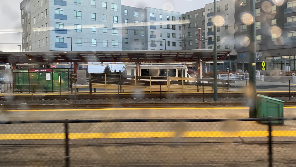
The 31 is a very short route. In fact, I’d go as far as to label it as a “short and sweet” type. However, during the Great Race to Mattapan, Alex, Nick, and I managed to ride this route in its entirity, leading to a route review becoming possible. So, what’s along the route? Let’s look.
This bus was actually behind schedule – and it worked out perfectly!
The 31 originates at Forest Hills, and after banging a u-ey out of the lower busway onto Hyde Park Avenue, turns onto Morton Street immediately, passing by some apartments and Shattuck Hospital. Going down this section of Morton Street, you have the Forest Hills Cemetery on one side and Franklin Park on the other, and soon enough we were in Mattapan. We took a right down Blue Hill Ave., progressed down the street into Mattapan Square, passing the Fairmount Line, banging another u-ey after ever so slightly entering Milton, and entering Mattapan’s outer busway. All in all, about 20-30 minutes to cover three miles and change. Not bad, given ridership was mainly “everyone got on at Forest Hills, everyone got off along Blue Hill Ave.”
Not a true diner – but it still says so in the nameHousing!Greenery!Mind the dead!More housing!Much of the same – is this a gated community?Gas station!Bus reflection!The sky doesn’t look inspiringA church!Hello, Fairmount Line!Mattapan Square!Uh oh…The 716…
The good: It’s a short and sweet, and direct, connection between the Orange and Mattapan Lines. It’s also very frequent, being every 15 minutes (or better) on weekdays, and every 18-20 minutes on Saturdays, and 20-25 minutes on Sundays. Weekend headways aren’t the best, but it’s pretty good still.
The bad: It can feel like a drag sometimes with local Boston traffic. Oh well! It’s still faster than going up the Orange Line and doubling back on the Red Line! Yeah, I’m grasping for straws on this one. It really oughta be a key route though…
Nearby points of interest: Forest Hills, Mattapan Square, and Franklin Park are the big ones that come to mind. Shattuck Hospital, too.
Overall, for what it is, it does the job very well. I can’t think of anything negative about it, however it really ought to be a key bus route.
Oh, goody! We get to check out the first of several express buses on the MBTA network! Well, let’s look at them all and what’s in store…Lynn, Oaklandvale, Brighton, Waltham, Watertown, Salem, and …North Burlington??? Huh, that’s not a lot. Well, I’ll be sure to cover all of them eventually. In the interim, however, here’s Lynn’s express bus. Meet: the 426- WAIT IT COSTS $4.25?! WHAT THE FUCK, THAT’S EVEN MORE THAN A SUBWAY FARE!!!!! HOLY FUCK! Oh dear…
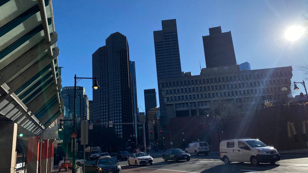
Welcome to downtown…So long, car dependency…City Hall!
So, all seven express bus routes originate at various points in downtown Boston (the 354 originates at Government Center, the 426, 428, and 450 originate at Haymarket, and the 501, 504, and 505 originate at Downtown Crossing) and take various highways out to the suburbs. In the case of the 426 and 428, they run locally out to Charlestown ever so slightly before getting on US-1 and the Tobin Bridge. This is where the unholy $4.25 fare comes in. That surcharge – THAT DAMN SURCHARGE IS TO COVER THE TOLL ON THE TOBIN BRIDGE! Anyways, we expressed down US-1 for quite a bit and got off the Squire Road exit. From here, it was pretty much just a normal local bus. Weekend runs originate at Wonderland instead and carry a normal $1.70 bus fare. Moving on, the route runs through Saugus and through Cliftondale Square, turning down Lincoln Avenue and crossing the Saugus River into Lynn. Of course, it was stop and go traffic (it’s Lynn), and it took a bit from here. However, eventually, after crawling the streets of Lynn, we made it to the old Commuter Rail station’s busway, making it to the end of the route.
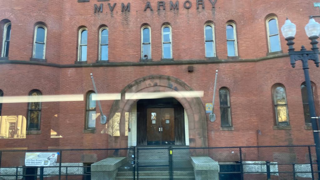
Onwards!Crossing the CharlesWOOOOOO CROSSING DA TOBIN BRIDGE!!!!!!CHELSEAAAAAAAA!!!!!!!!The sprawl of the inner North ShoreEXIT ->Water!FUCK YOU, JEFF BOZO!A turn signSuburbia!DUNKIES!!!!!More housing!Towards the Saugus RiverThe Saugus River!GASSSSSSSS!Oh hell, traffic…Some density?Mind the dead!Armory!Near the end…The Lynn busway!
The good: It gives people in Lynn and Saugus an alternative to the Blue Line and Commuter Rail into Boston! Also, it’s a local bus for these areas! And, on top of that, ridership is decent both at Haymarket and beyond US-1.
The bad: THAT. $4.25. FARE. OH HELL NAW!
Nearby points of interest: Didn’t see much along the route, sadly…
Overall, the route’s important and it’s very important indeed, both as a downtown direct and a suburban local route. However, that fare though……ugh.
Rating: 6/10. Would’ve been a 7 if the fare was $2.40 or less.
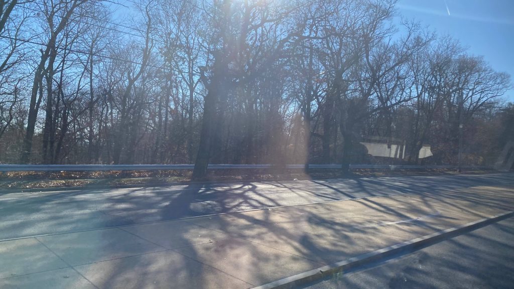
This is quite possibly the furthest out an MBTA bus goes from any singular subway terminal. This route runs through Forest Hills to Walpole Center (near the CR station), via Roslindale, Dedham, Islington (Westwood), and Norwood, and it either serves directly or very closely 5 different Commuter Rail stations. So, let’s look at this route, shall we?
Not in service!
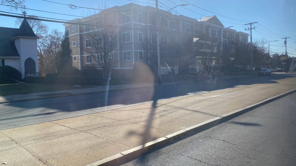
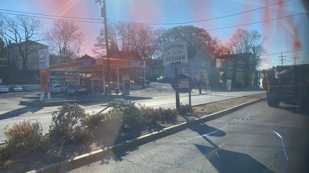
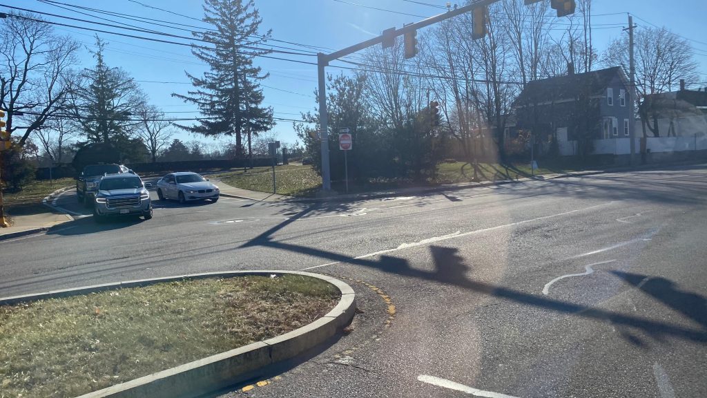
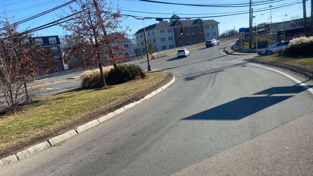
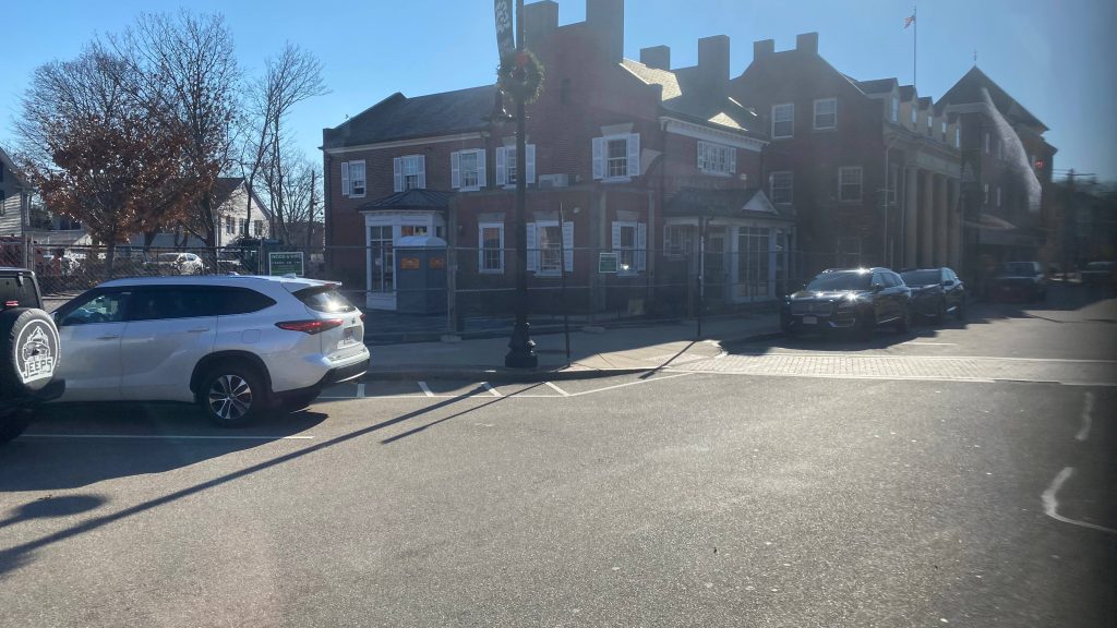
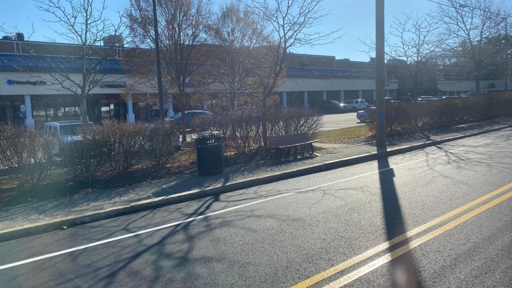
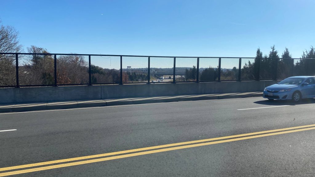
The 34E begins at Forest Hills Station in JP, and starts running down Washington Street. This is gonna be the road we’re on ALL THE WAY TO WALPOLE. Yes. We do NOT deviate from this road in the slightest! Rozzie, of course, is primarily residential and is more akin to a small city in of itself, while progressing on beyond, the sprawl begins to slowly become more evident. Of course, we also entered Dedham, passing both a park and the Dedham Mall in the process. No deviation into either, however. We had to interface with a weirdly-configured roundabout with the Providence Highway, and then we continued through the town center and in the backside of a strip mall. We’d then cross I-95 into Westwood, serving the Islington neighborhood (& the CR station, indirectly), and make a slight maneuver to go underneath the Franklin Line, only to continue into going underneath again. At this point, we were in Norwood, passing through the town center and by Norwood Depot. It actually looked like there were some places of interest, I need to come back here some time. We’d also pass by Norwood Hospital & Norwood Central, entering Walpole soon enough. Walpole was much of the same, just without hospitals. We sorta serve a school, though! Sunday runs terminate at a loop in East Walpole, while weekday/Saturday runs continue on up East St. and terminate at Walpole Center.
Rozzie!!!More housing!Parking lot!Oh no, stroad…Density!ENTERING DEDHAMDon’t enter!Oh christ…Fancy!Strip mall!I-95!!!!! WOOOO!!!!!!A side street, I think Islington is down thereOh no, not 11ft8’s evil twin lurking ahead…Hi, Franklin Line!Slightly deviatoryDensity!Norwood’s town center!Norwood Depot is somewhere down thereHi Franklin Line (again)Industrial stuffI’m getting tired, can I just go without captioning these?Farms??? I really don’t remember…A church!Another shot of said churchWalpole Center!And down there is Walpole Station!
The good: It’s a suburban route serving similar areas to the Franklin Line! There’s otherwise nothing out here for public transit, at that, so yeah. It also serves many town centers!
The bad: It short turns on Sundays. I guess, it’s okay, but c’mon… Also, why not run all the way to Walpole’s CR station???
Nearby points of interest: Norwood’s town center and Rozzie look interesting…
Overall, it’s alright. There’s nothing else out here (the Dedham Local Bus doesn’t exist anymore, either, to my awareness), so it’s pretty important. However, I do feel it’d be best supplemented with additional buses out here.
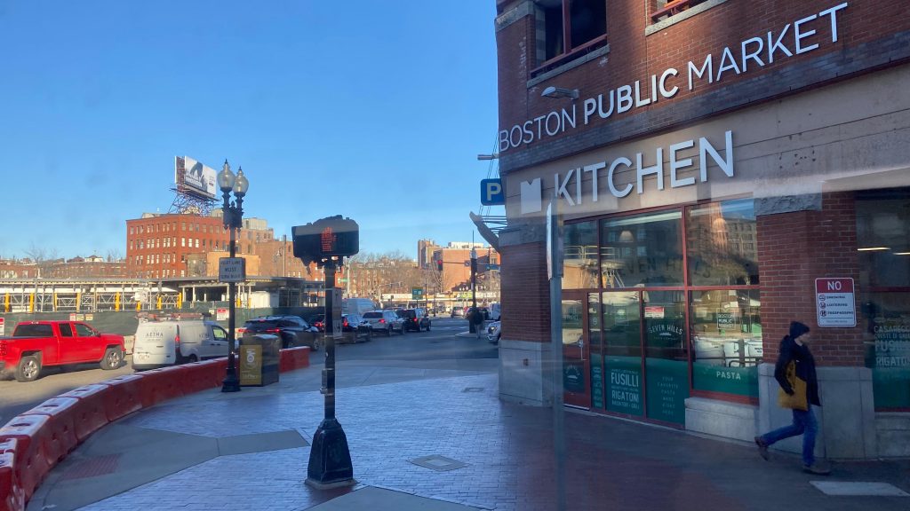
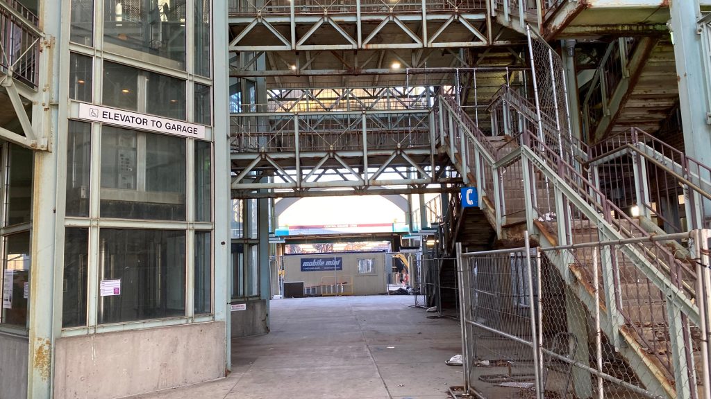
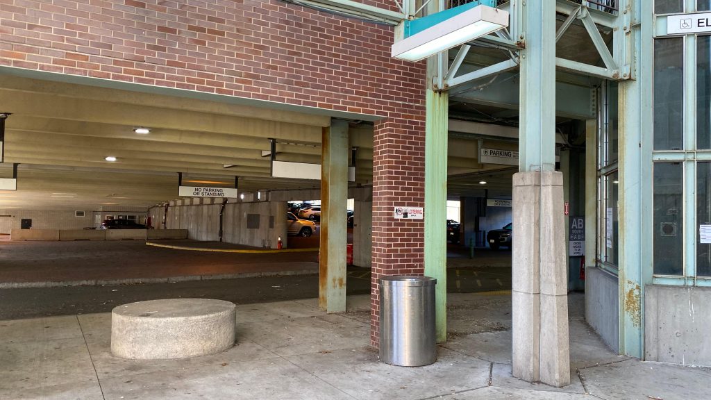
Okay, okay, I know I’m going to get some heat for reviewing a station undergoing major renovations, and for calling it “Lynn Center”. However, I REFUSE to call it “Central Square” because one already exists in Cambridge. Wait, waht? Oh, I called that blog entry “Central Square (Cambridge) (Red Line)”? Well shit, guess March ’23 me was already very aware that I’d have to do Lynn eventually. Well, here we go. Duty calls, I guess.
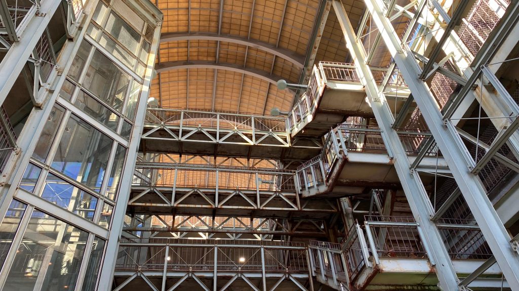
Very imposing concourse with Helvetica obstructed by the winter sunlight
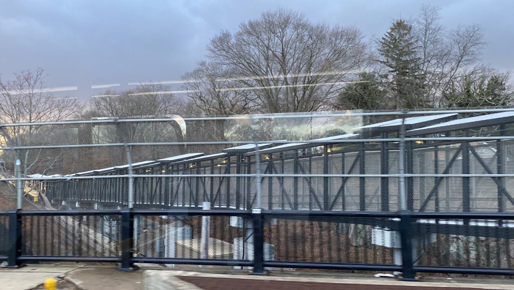
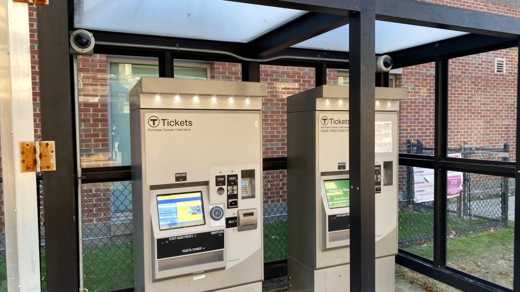
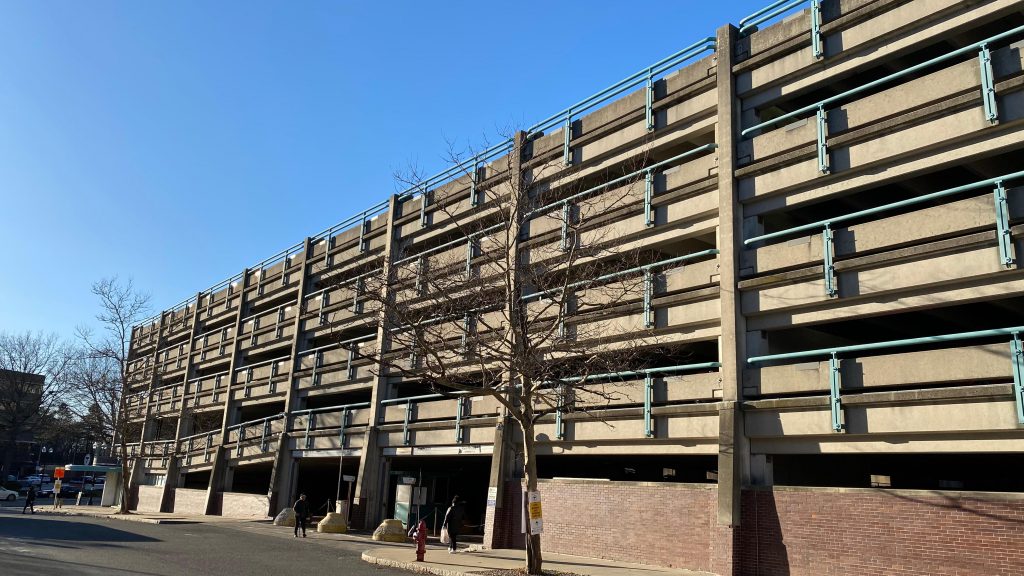
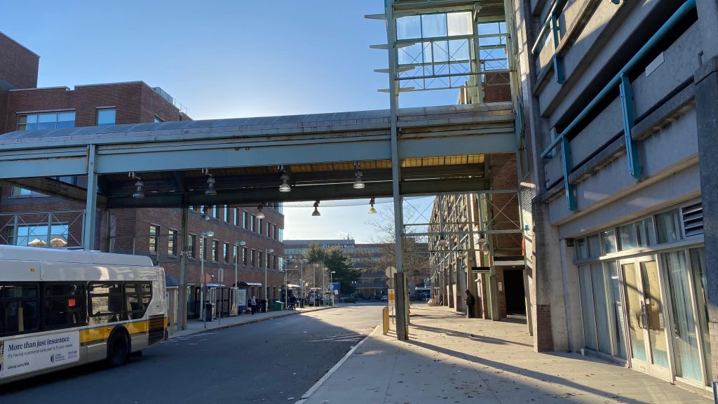
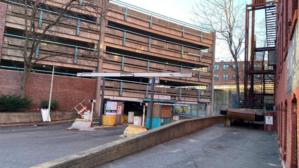
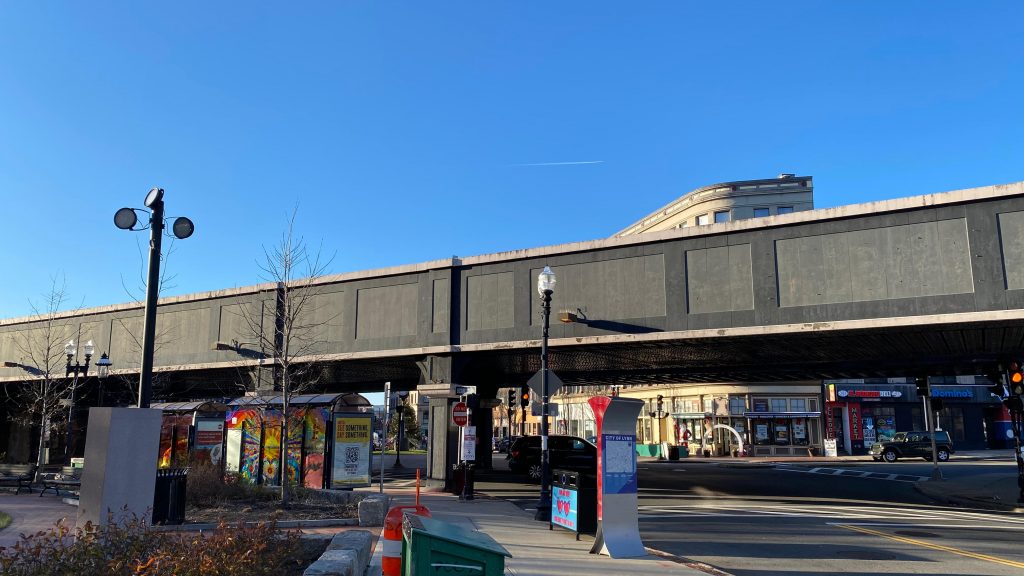
I arrived here via the 426 express bus, taking almost a full hour to traverse the local streets of Revere, Saugus, Lynn, and the expressways out of Boston. The busway itself, serving as the North Shore’s primary transfer point, isn’t too much to scoff at. You have some shelters, a couple of bus stops, the “Downtown Lynn Bus Finder” thingy which is completely outdated. Hell, officially, the station actually has TWO entrances (one was blocked off, the other was via the busway), and you can’t even go up to the platform. There’s a lot of parking to go around though, and as stated earlier, the North Shore’s bus routes all converge here. There’s even a pair of CharlieCard machines, very rare outside rapid transit territory! Did I mention this place is very imposing, even moreso than Westborough or Canton Junction with their very, VERY big pedestrian bridges??? Yeah… Honestly though, the viaduct through downtown is kinda vibey though. But the station is insanely imposing, even by MBTA standards. Whelp, that’s all! Review over!
Bye!CharlieCard machines!
The good: It’s a very short and sweet station review! It’s also ADA accessible! The bad: You really thought I was done? Nearby points of interest: Downtown Lynn! Transit connections: All of the North Shore routes! Rating: 3/10, this is pure depression!
Alright, review over! NEXT!
Oh dear god…That’s very far…Parking!Sheltered crosswalk?! That’s a new one.The garage entrance
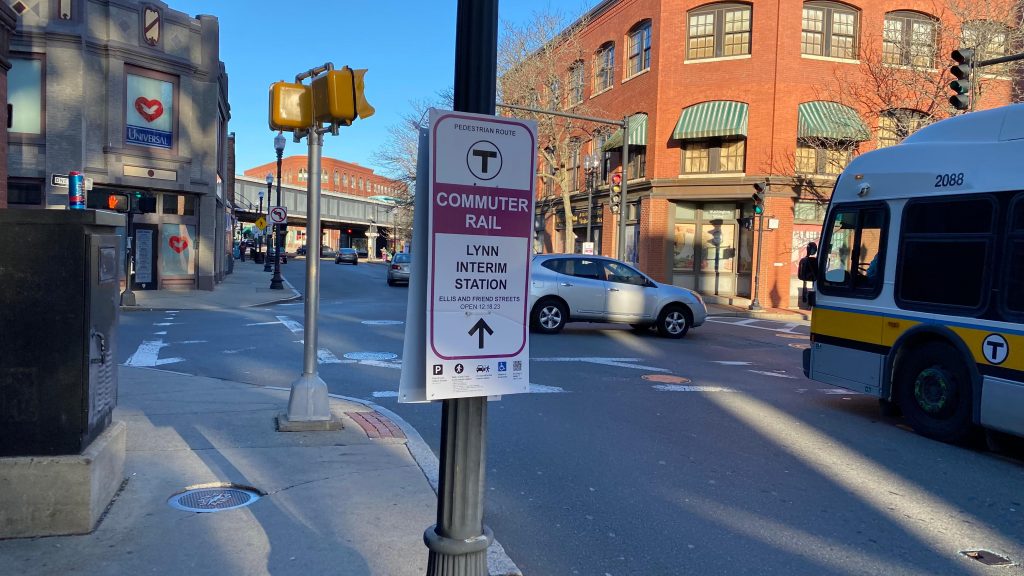
…wait, what? You mean to tell me COMMUTER RAIL SERVICE IS A COUPLE BLOCKS OVER OFF SILSBEE STREET, OFF FRIEND & ELLIS STREETS?! Oh you’ve gotta be shitting me….goddammit, Ben, Brooke, and Mx. Stuffundefined…, y’all are lucky I’m actually unhinged enough to do this, and that I’m a glutton for punishment. Well, duty calls…
Onwards…
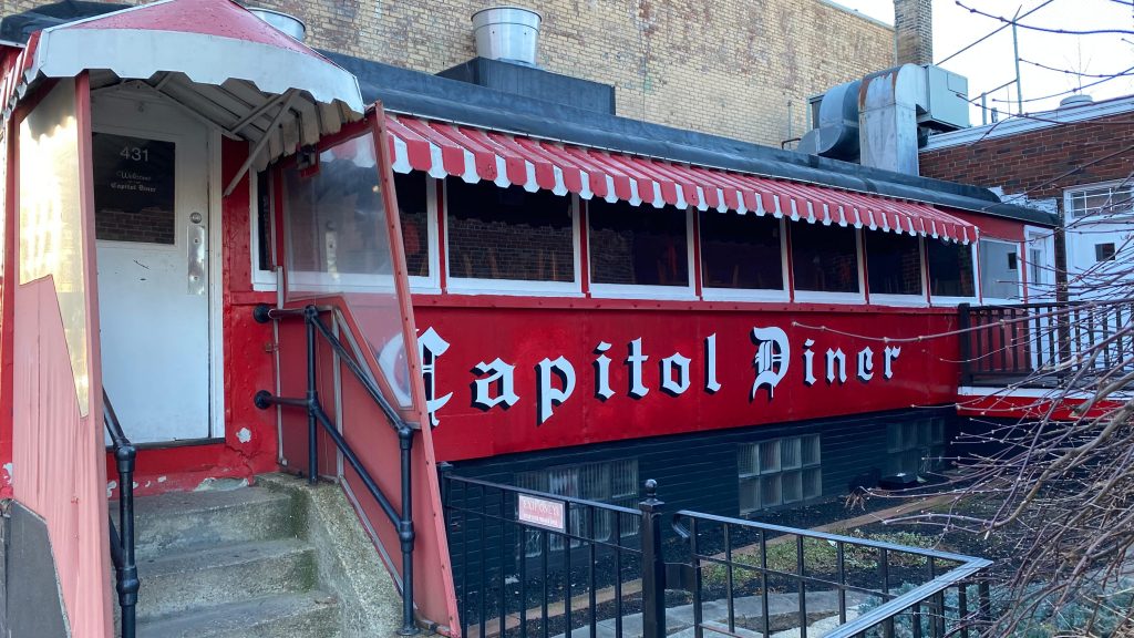
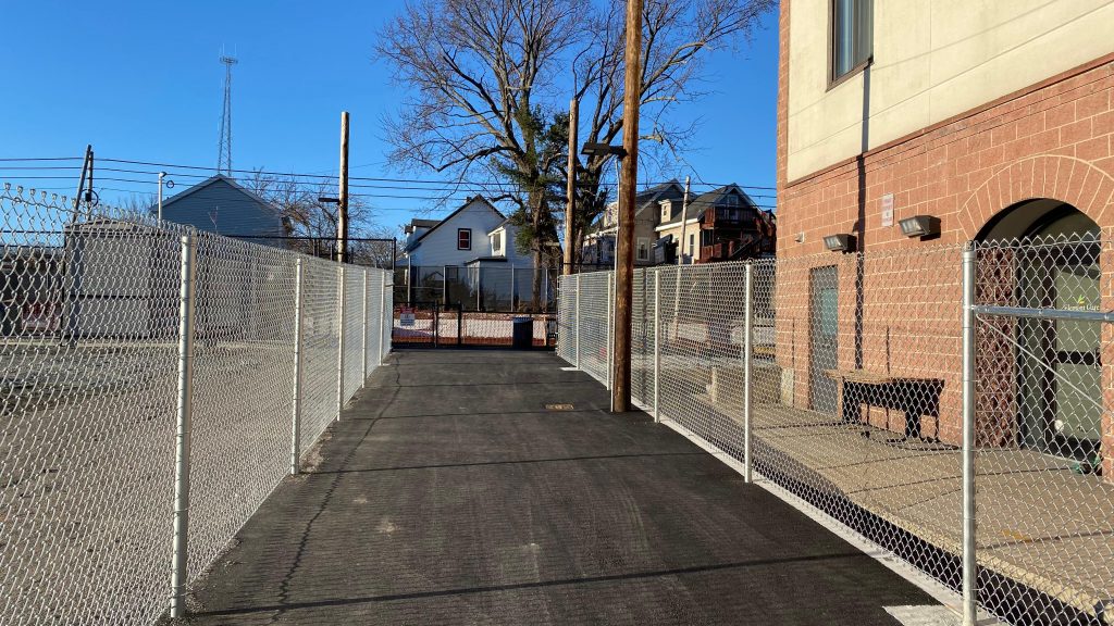
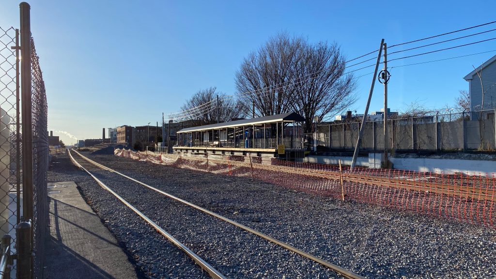
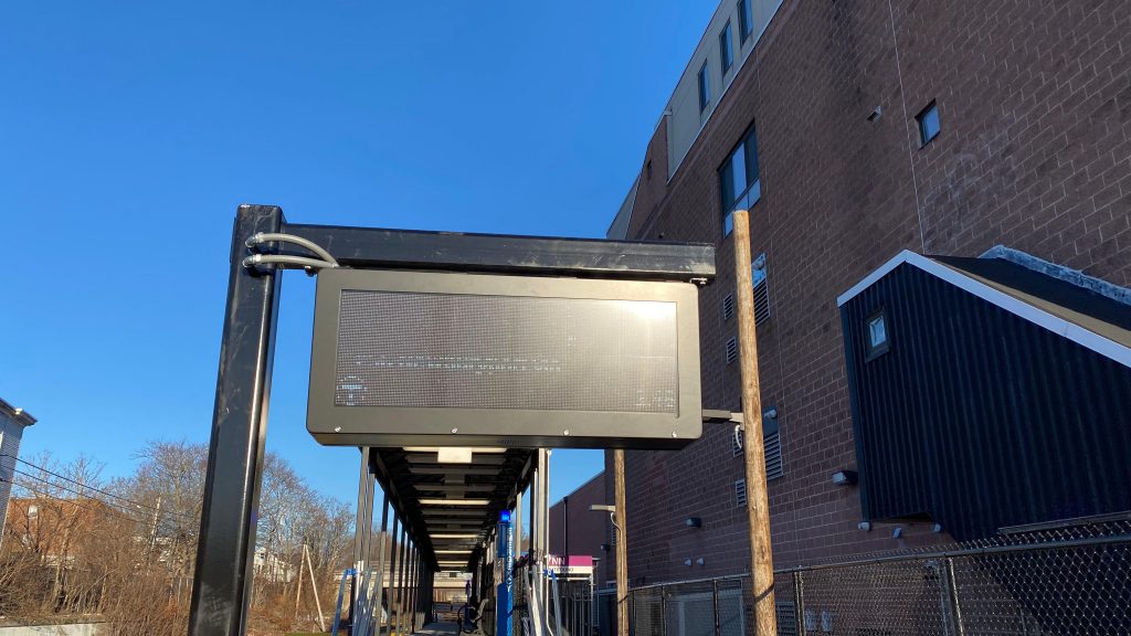
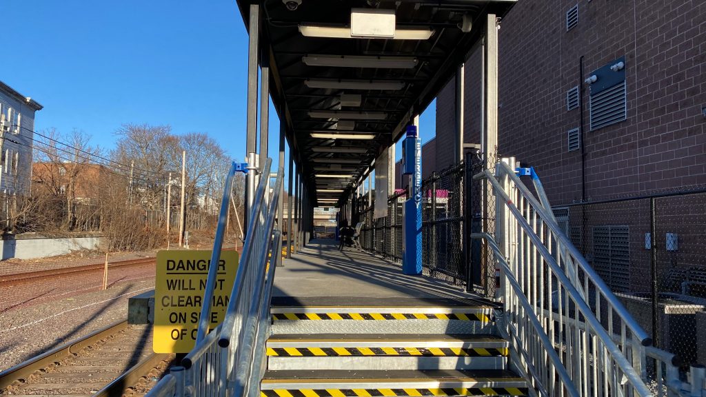
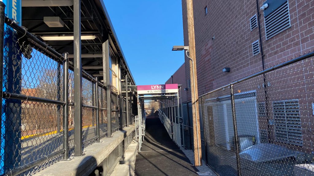
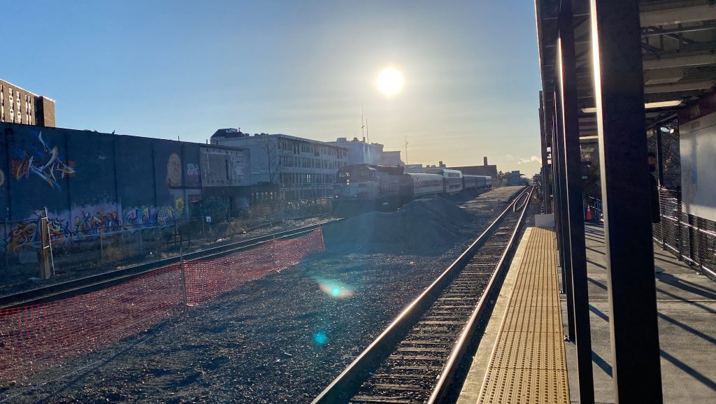
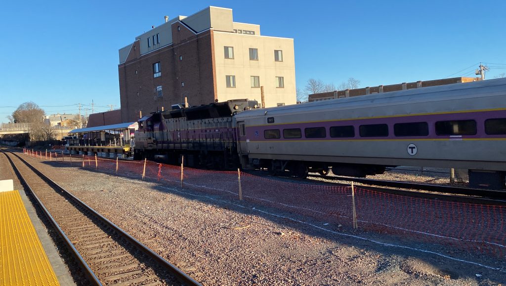
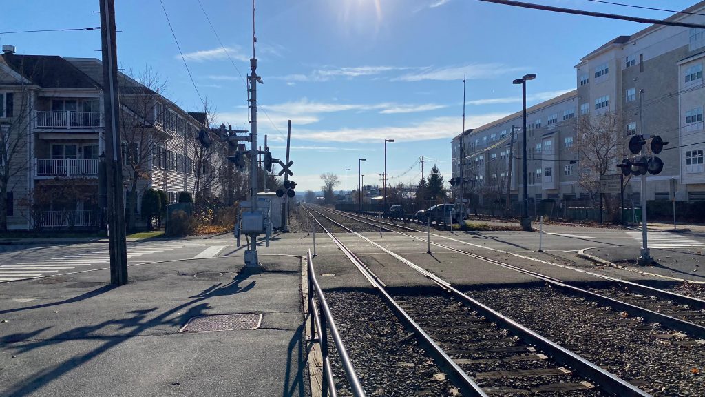
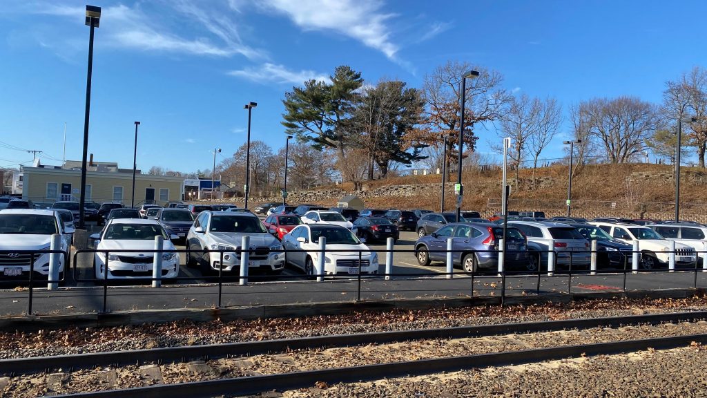
So, I started to walk from the Lynn busway to what’ll be dubbed as “Lynnterim” from henceforth (portmanteau of “Lynn” and “interim”, if anyone is wondering on etymology). This station opened this past Monday (as of me writing this, on 12/21/23) as an accelerated method proposed by Keolis to get service to Lynn faster than originally anticipated (9 months ahead of schedule!!!). Announcements at North Station advise those needing accessibility to board the two cars closest to the locomotive. Why? Well, the platform is essentially an elongated mini-high, about as long as the platforms at Old Saybrook or any Shore Line East station. And, quite truthfully, while the walk felt long (it was only 10 minutes of walking, even passing the Capitol Diner), the station itself is actually….pretty decent, all things considered! The PA system is surprisingly very beefy (much more than Pawtucket’s!) and the entire platform is covered, and also has benches and wastebaskets, which is nice. They even went through the trouble of installing proper departure boards! I repeat, DEPARTURE BOARDS FOR A TEMPORARY STATION! Oh, it’s also fully ADA accessible. Neat! There’s also a lot on the inbound side, however it’s a municipal lot and not an MBTA one. Honestly, very good even by normal Commuter Rail standards, all things considered.
DINER!The almighty Lynn ViaductMore wayfinding and ARTNo commuter parking on the outbound side!The way to the platformI spy the inbound platform…Yep. Still difficult to photograph.A fully covered platform?! That’s a new one!Helvetica!Municipal parking!Oh, cool, a train!The train coming to a halt
The good: The busway is in downtown and serves all the North Shore routes, which is nice! Furthermore, there’s A LOT of parking. The Lynnterim station is also pretty decent for a temporary one, with a fully covered platform, benches, a decent PA system, more parking, and level boarding.
The bad: The garage is very depressing. Like, I hate saying it because it stands out a lot and it’s very imposing, but I can’t help but feel it’s an eyesore… Furthermore, barely any buses serve Lynnterim. I guess this isn’t a problem if you’re able-bodied, but I can’t help but feel it might be dicey for someone who needs an ADA accessible bus to CR transfer…
Nearby points of interest: Downtown Lynn, of course! Near the CR platforms? Well, you got the Council on Aging right next door and a lot of suburban sprawl close by… sorry!
Overall, the station itself is pretty good. However, it just feels very spread apart, which is to be expected given the temporary nature and the context this exists in. But still, it’s just annoying. At least there’s also a copious amount of parking, which is neat!
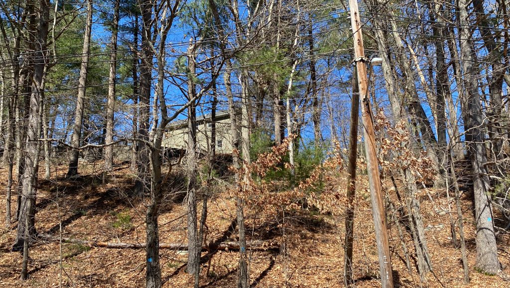
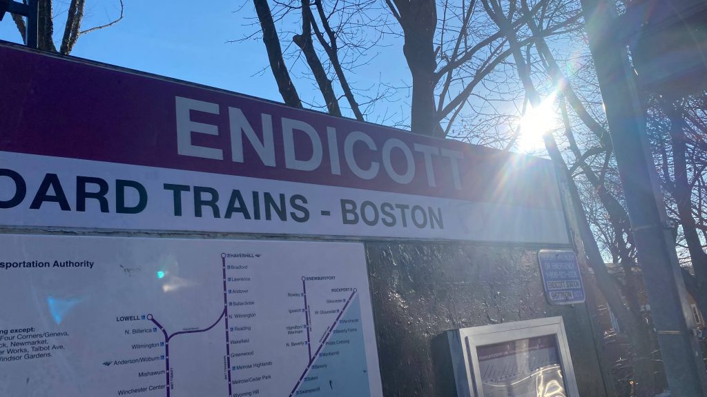
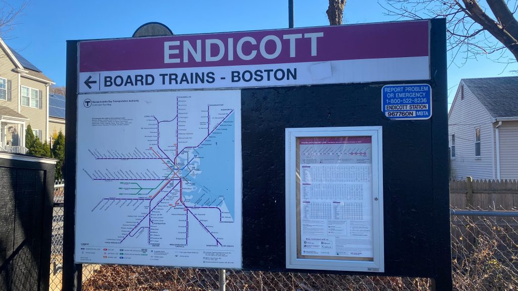
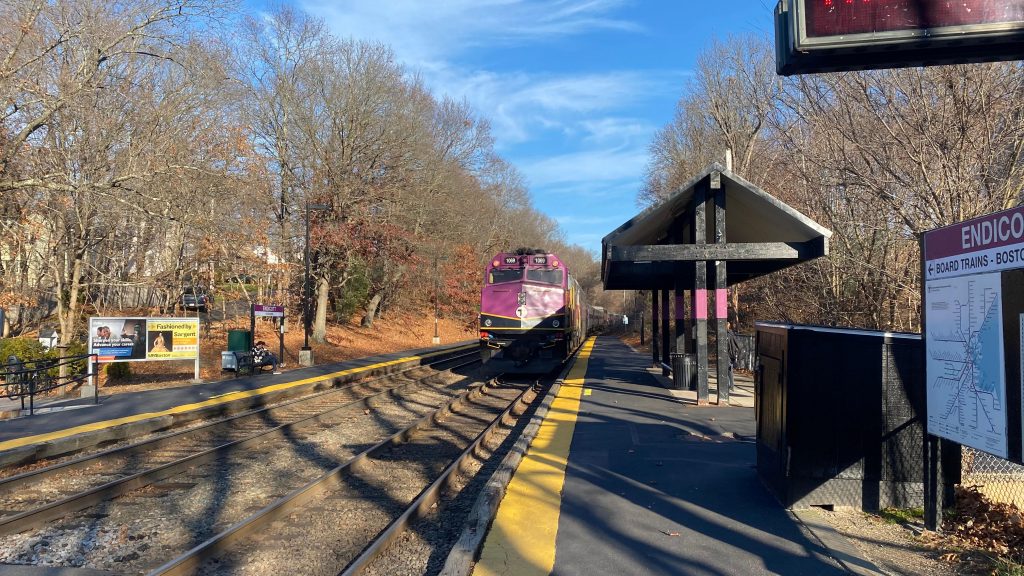
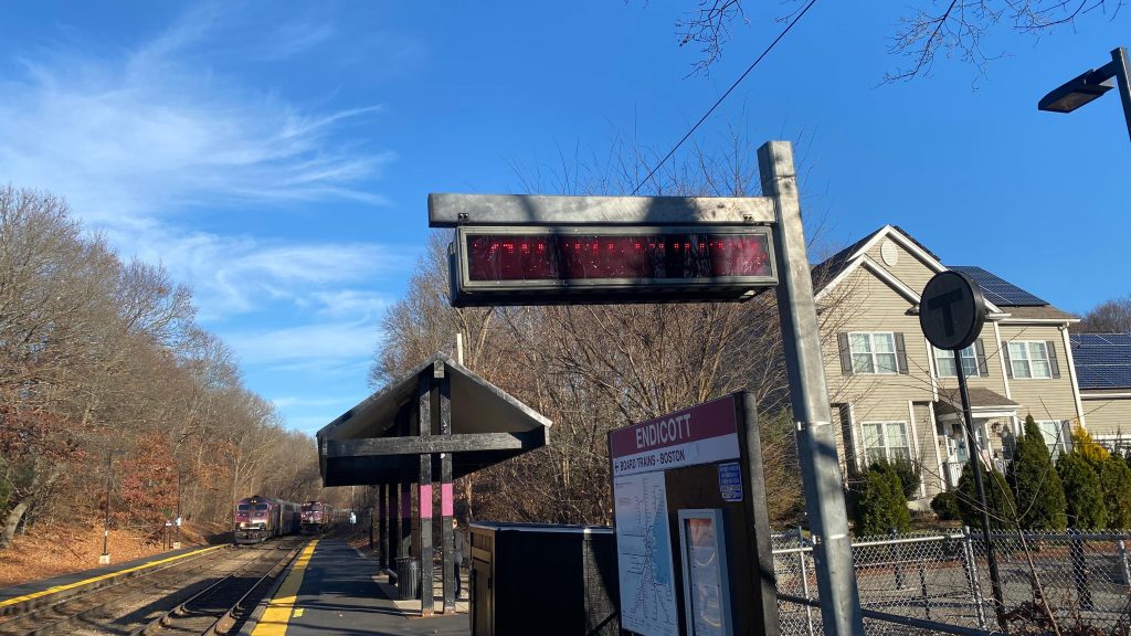
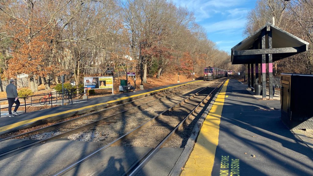
Alrighty. So, I mentioned Islington was pretty deep into suburbia. Well, meet its twin, Endicott. Endicott is waist-deep into suburbia. I’m talking, so deep that you’ll be walking for at least 30-40 minutes to reach any transit connection that isn’t the Franklin Line. With that in mind, here we go.
Helvetica!A better shot. That map is outdated.
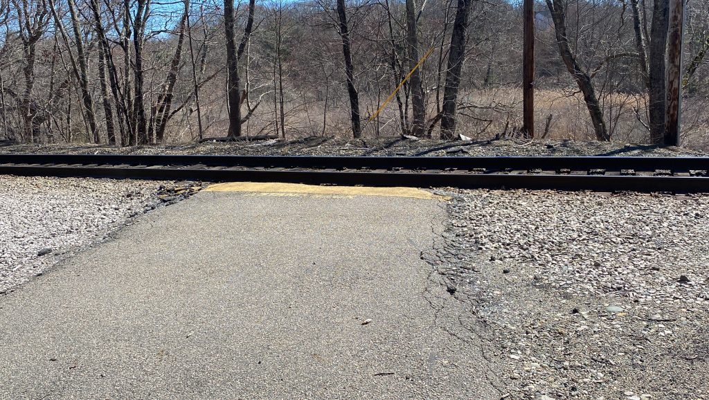
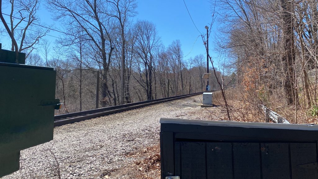
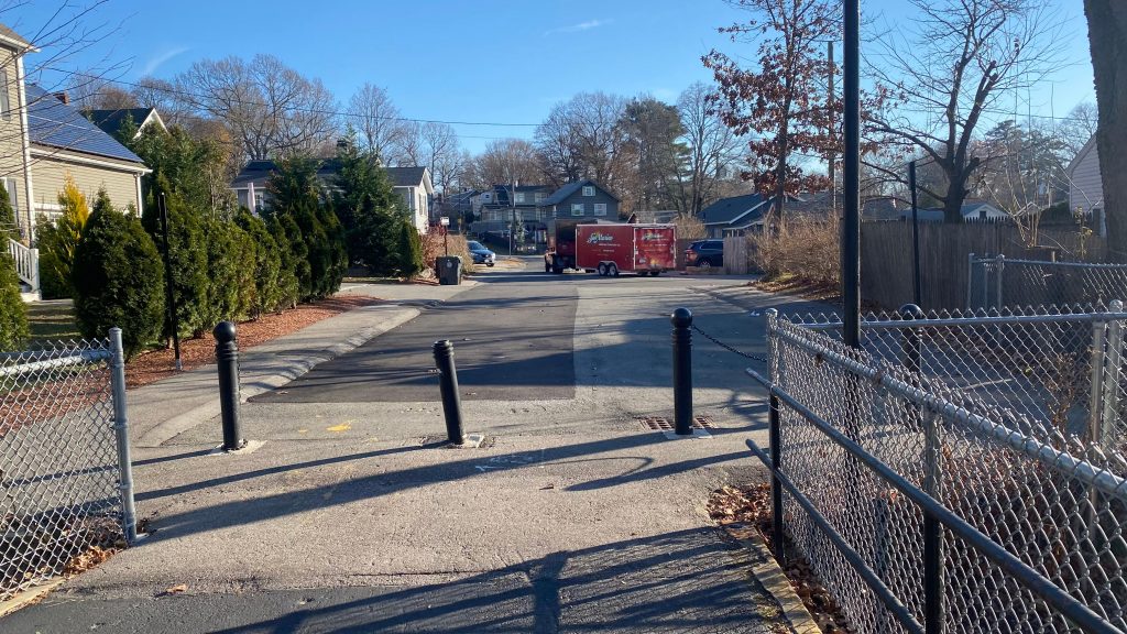
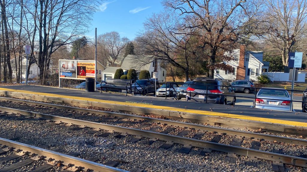
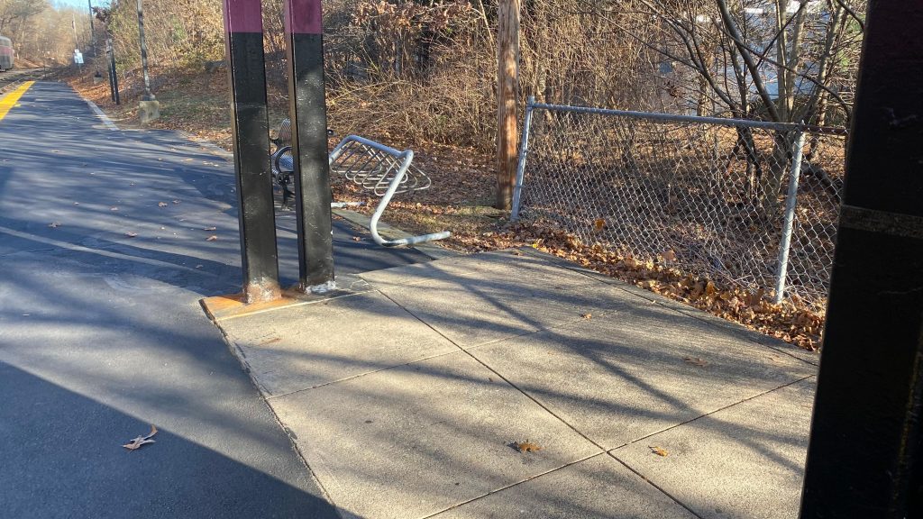
Endicott, like Islington, is deep into suburbia. However, buses don’t even run out here. To describe how far into suburbia it is, it’s so deep I had to walk 40 minutes for a bus connection – at Readville. Yeah. But, the station is essentially a copy-paste of Islington. You have bicycle infrastructure (sorta), shelters, benches, wastebaskets, the classic red dot matrix signage, a grade crossing to change sides, and a small amount of parking. There’s more parking lining Grant Avenue, however I didn’t check it out, as I wanted to get to Readville to meet up with Brooke. But, it exists. There used to be a path to the inbound platform, however that’s now an entire street. Boooooooo… Parking is also permit-only, Dedham residents only. So, bugger off to Dedham Corporate Center! Overall, I kinda like the station, and the area is a vibe in general. Hell, it’s probably a treat to railfan during the autumn months as well.
Bollards and a main roadBye!!!I hate these signs.Not yet!Parking!Bicycle racks!See ya!Towards Forge Park & Foxboro!Towards Readville!They built a station in someone’s backyard – not once, but twice!
The good: It’s in a suburban neighborhood and isn’t car-oriented! It’s also rather peaceful like Islington and has the amenities one might need – including shelter.
The bad: Eh, it’s inaccessible. There’s also little in the way of transit out here. It’s also, if memory serves, the least-used station on the Franklin Line, for what it’s worth, so maybe it’s also better off a flag stop. But, like, if you’re driving – just use Readville or Dedham Corporate Center! Hell, if you’re not doing anything in the immediate area, you may as well use either anyways as there’s no T buses out here! Not even the Dedham Local Bus runs here!
Nearby points of interest: Not a lot, and even less than Islington’s list of interesting places (somehow)
Overall, good god, just why???? This station’s literally balls-deep in suburbia with no connections. It literally only exists to serve the walkshed and little else, and it doesn’t even do that well. Even West Gloucester fills this better! Sorry, Endicott!
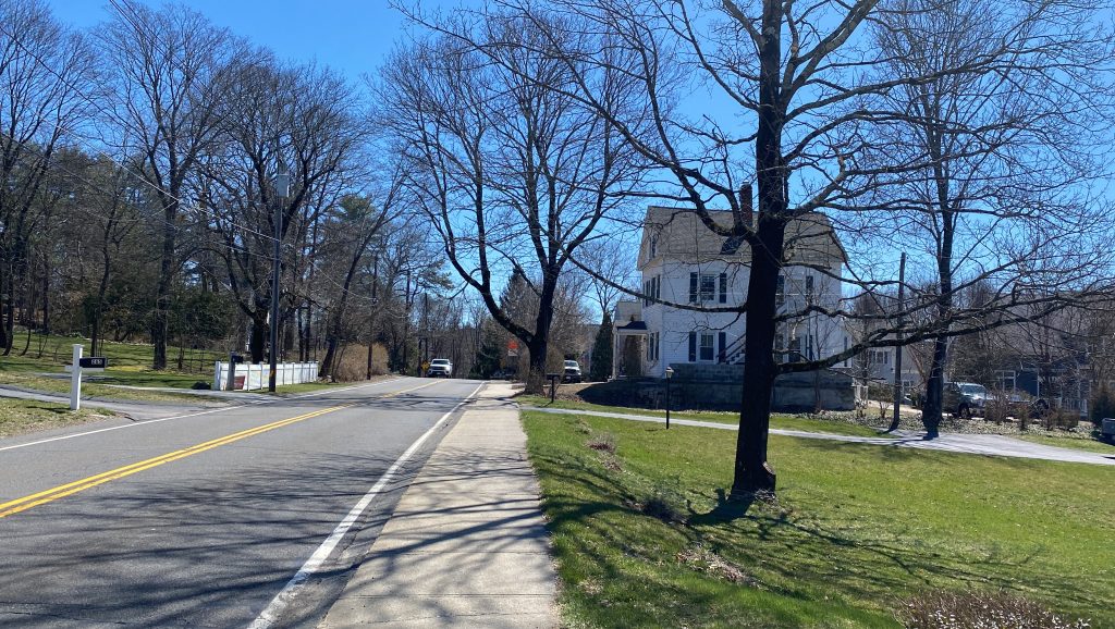
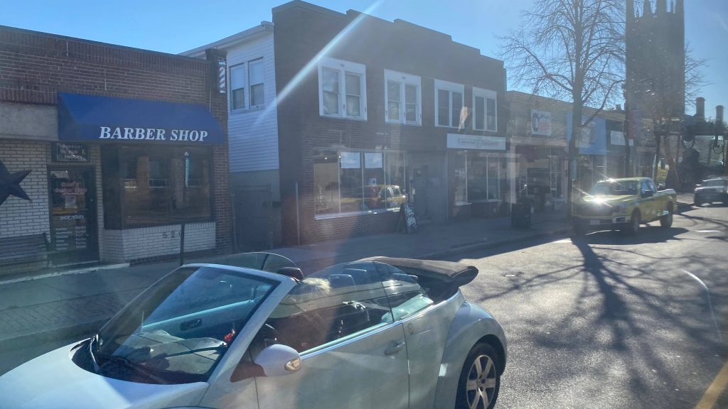
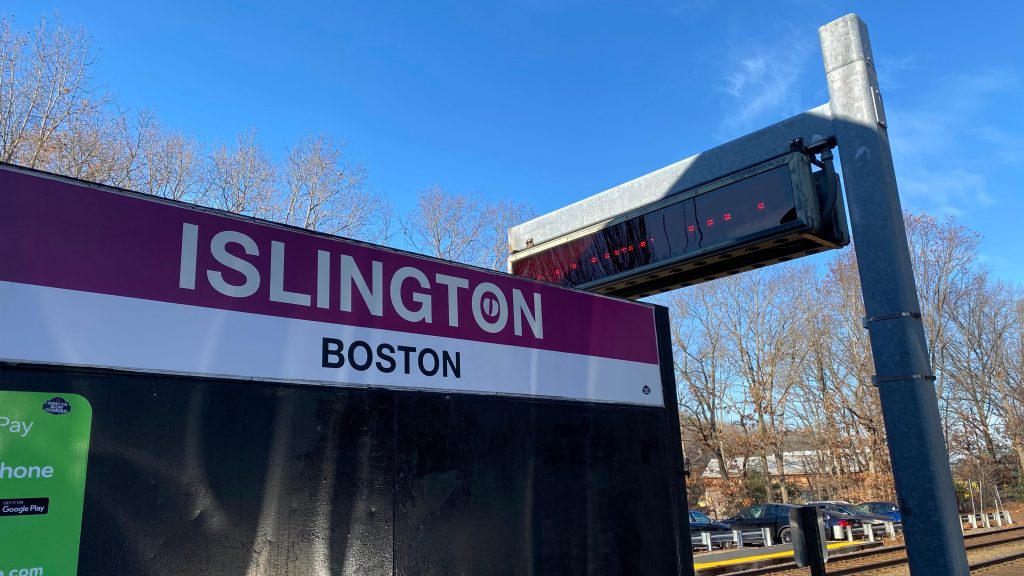
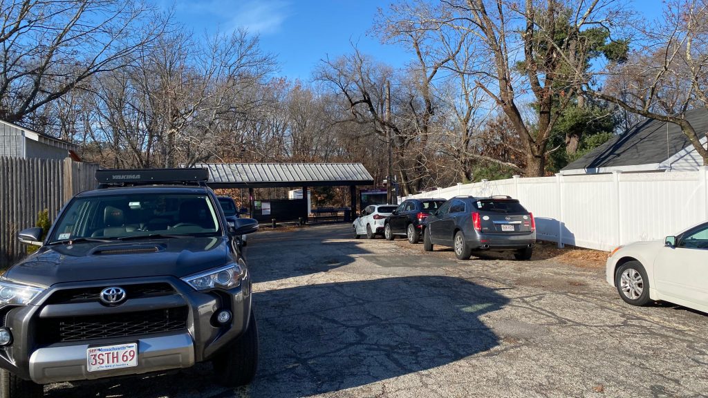
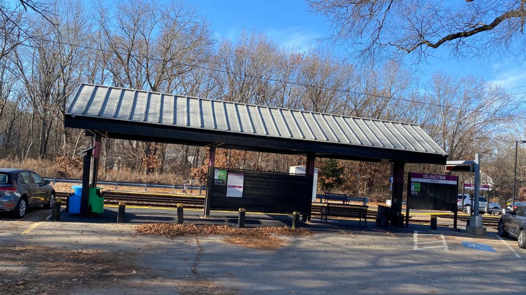
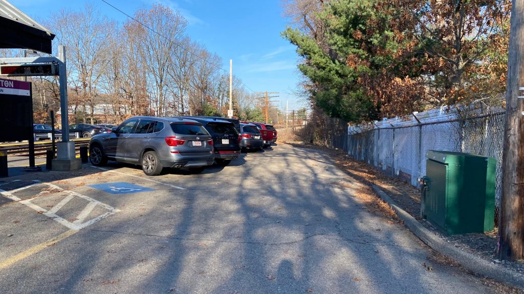
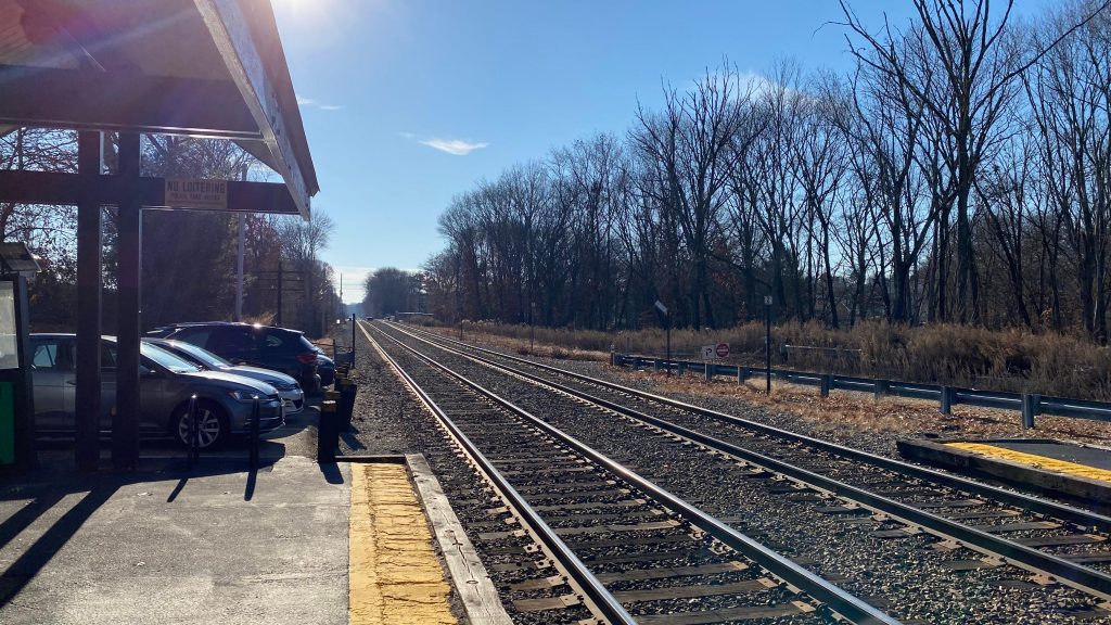
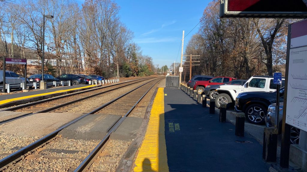
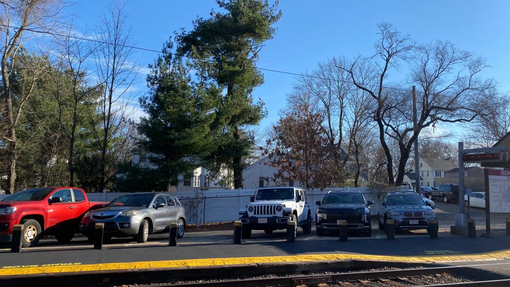
So, after doing the Norwood duo, I took the 34E back, however there were two pieces of unfinished business. The first, was a block and a half away from the 34E in Islington. In fact, it was Islington’s Commuter Rail station. Let’s look at this station located in suburbia, shall we? To describe from what a reader said to me, “they built a station in someone’s backyard”, to which I say there’s two stations that fit the bill here. The other station will be the next entry on this blog. (wink wink nudge nudge)
Helvetica!
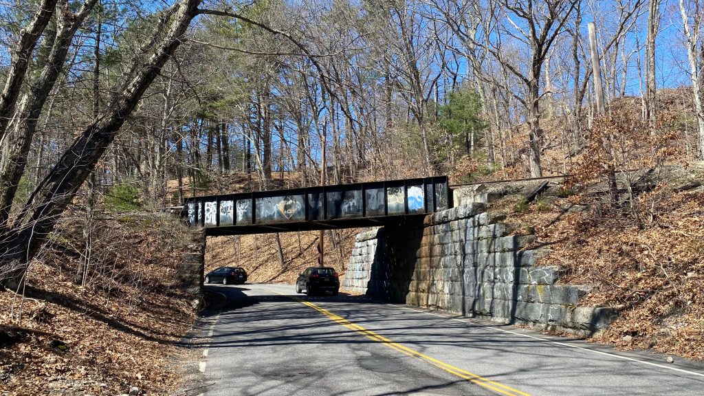
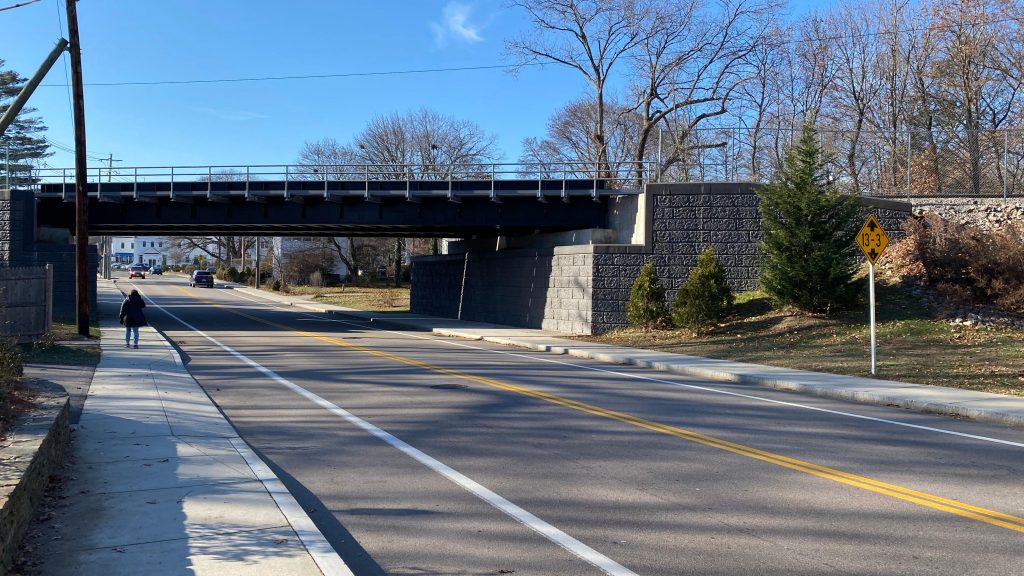
So, who here remembers the 10ft6 bridge at East St. in Westwood? Anybody? If not, here’s a video to remind y’all of what it was. It’s since been raised to 13ft3 (or rather, more likely, the road was lowered to make that the clearance) and now trucks aren’t careening into it and exploding spectacularly like in years prior. See, look!
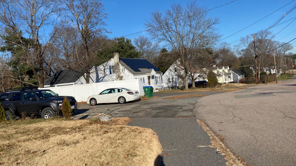
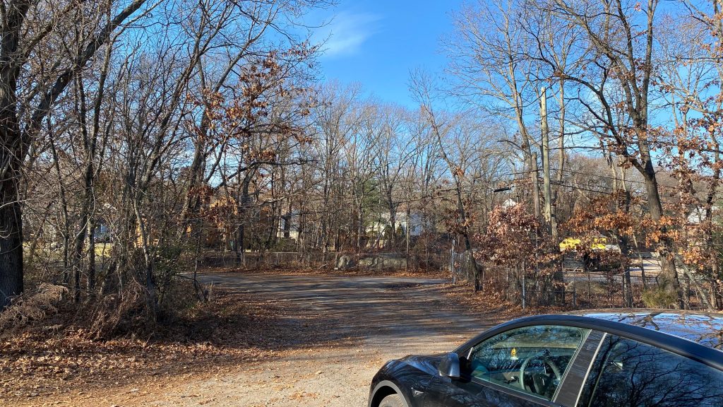
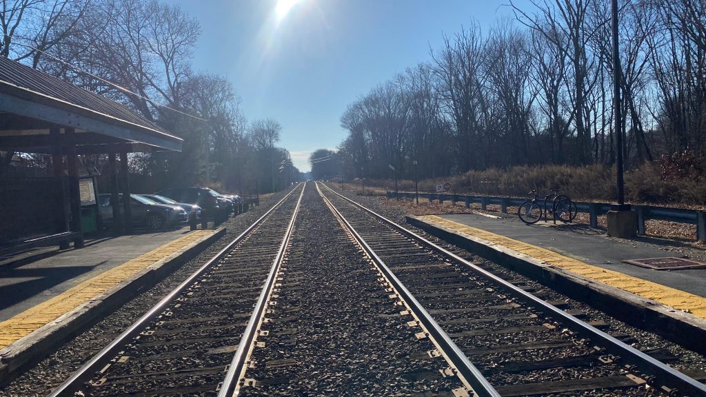
The walk was actually rather pleasant. Crossing East Street into Carroll Street, the entrance to the inbound platform seems innocent enough – enough so to where as Miles put it in his entry on this station, one could easily mistake it for someone’s driveway! It’s such a cute little station! I mean, it’s got a small amount of parking, a 135ft low level platform on each side, crossovers, some benches, shelters, and if memory serves me right even a bicycle rack! There’s also a red dot matrix sign. Bleugh. But, overall, a decent (if inaccessible) station. It’s so cute, too!!! And, it’s in walking distance of the 34E!!!
A cute unassuming little entranceThe station!It’s so cute!!!Parking!Towards Forge Park & Foxboro!Towards Boston!The Grafton Ave. entranceThey built a station in someone’s backyard!Middle-of-track shotAnd another one!Train!
The good: It’s such a cute little station! Furthermore, Islington is kinda town center-y, so it’s in a relatively dense (vs. the rest of the town, which doesn’t say much as it’s still single-family housing) area. It’s also relatively walkable too, although it’s a shame US-1 is close by. Furthermore, the 34E is close by, too!
The bad: It’s all single-family housing!!! Yikes. It’s also inaccessible, which stinks. Also, it’s so damn close to Dedham Corporate Center (which is also cheaper!) that, odds are, if you’re driving, it’s better to drive there and park.
Nearby points of interest: Not a lot… A couple of businesses exist on Washington Street, but nothing stood out.
Transit connections: Commuter Rail (Franklin, Foxboro) MBTA bus (34E on Washington St.)
Overall, it’s a cute little station. I like it. Sometimes, a nice small suburban station without a major parking sink is nice to have, even. But, inaccessibility does take away from it, as does proximity to Dedham Corp. Eww.
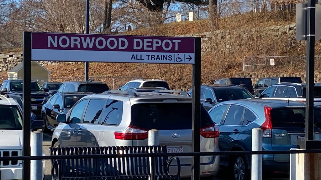
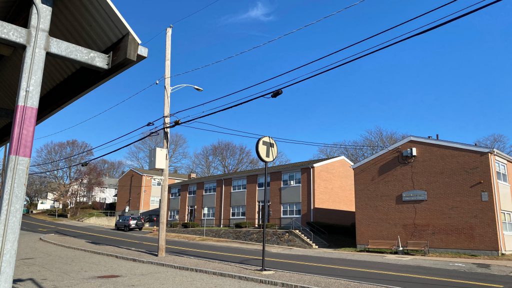
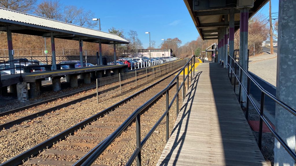
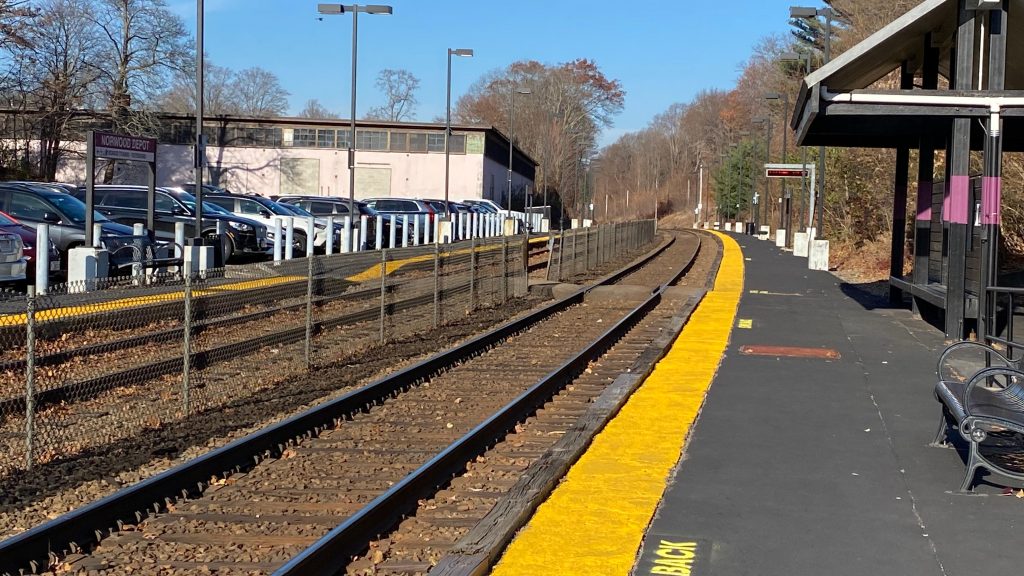
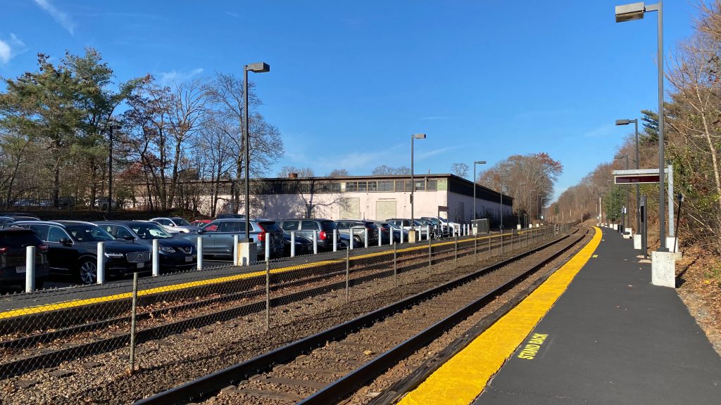
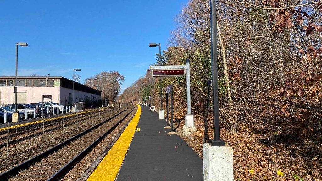
And now we’re at the OTHER Norwood station! Norwood Depot doesn’t have a depot, but it is in Norwood Center. Did someone swap the name plates for these?! Well, whatever.
Helvetica!
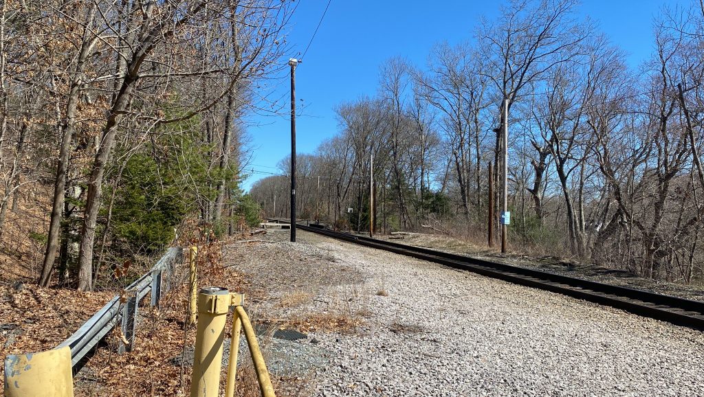
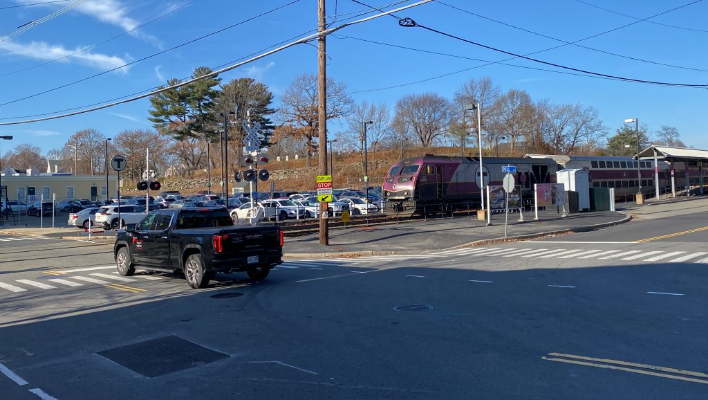
The station has the mini-highs at the grade crossing, which is convenient, AND they have stuff on them. Benches, no less! Furthermore, they line the platform, which extends into the woods a bit. There’s also some parking, and a red dot matrix sign as well. Ugh. Well, whatever. You also have some suburban TOD in the form of apartment complexes, a kiss & ride, and even some bicycle racks. Yeah, this is actually pretty decent! Nice! Just no station building.
TRAIN!The gates are down!We stan suburban density!Towards Foxboro & Forge Park!Parking!UH OH – BRAND GUIDELINES VIOLATION!The mini-high!A crossing!Not sure what that building isI hate photographing these signs. Why do I even try?Curvy!Towards Readville!
The good: It’s in the town center, has some parking, stuff on the mini-high, and some TOD around it!
The bad: I guess the worst thing this station has going for it is being too damn close to Norwood Central. I legitimately can’t think of much. Raise the platforms a bit?
Nearby points of interest: Norwood Center!
Transit connections: Commuter Rail (Franklin, Foxboro) MBTA bus (34E, on Washington St.)
Overall, I like this station. There’s not much wrong with it, however the best change would be a full length high platform and some kind of up & over/down & under to change sides.