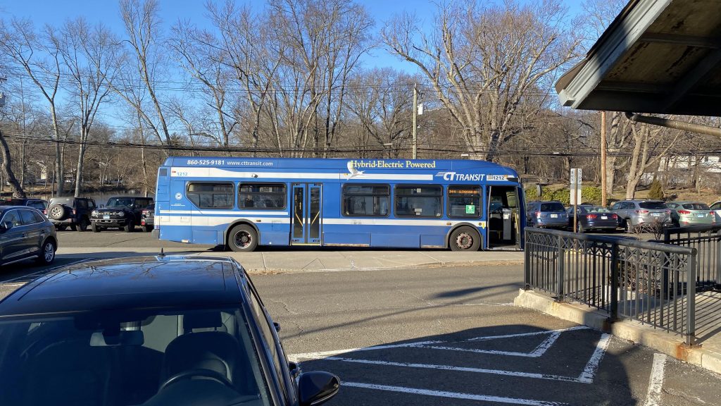
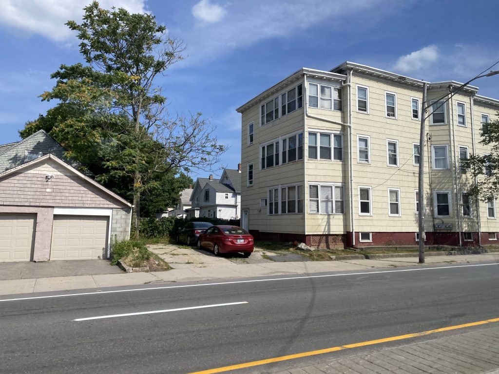
Next stop on the subway, I decided to deviate to 96th Street-Lexington Avenue. Now, some people will question my sanity and ask “why 96th?” to which I just simply say, “The Google Maps picture looked cool and I wanted to check it out.” I know, lame excuse. But, whatever. Without further ado, here’s 96th Street Station.
Yet another standard sign. Bleh.NOW THIS IS MORE LIKE IT!
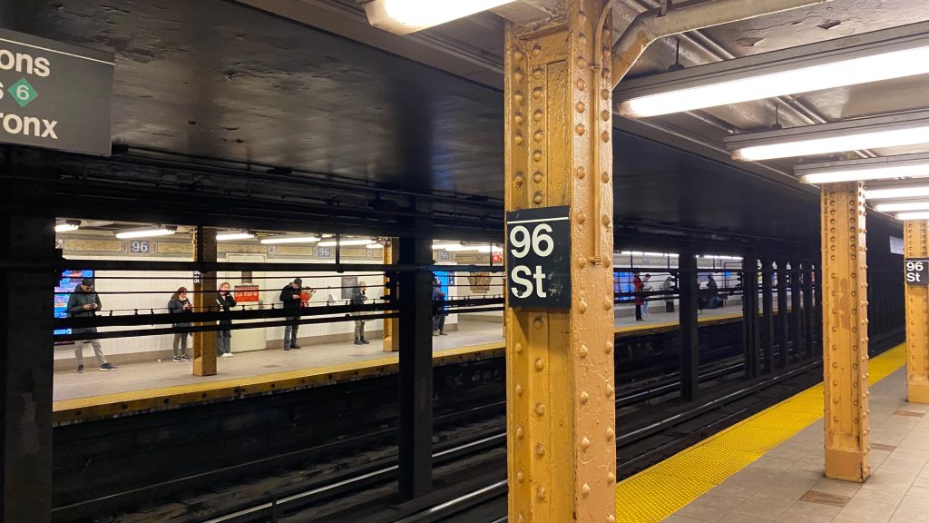
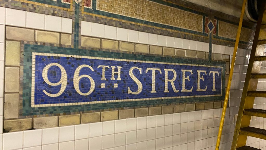
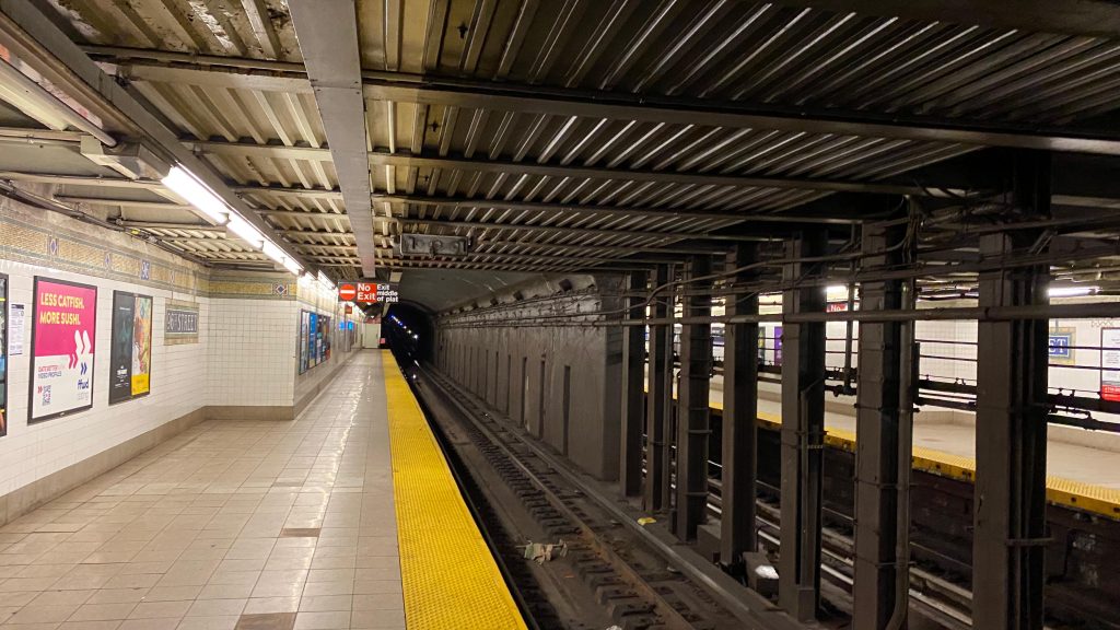
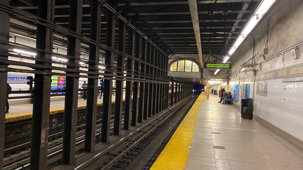
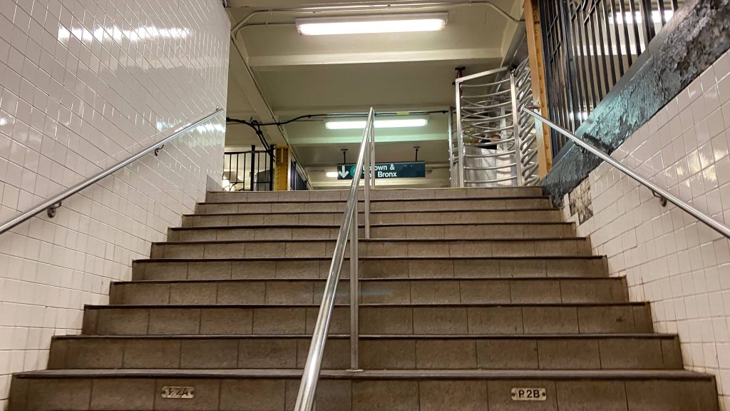
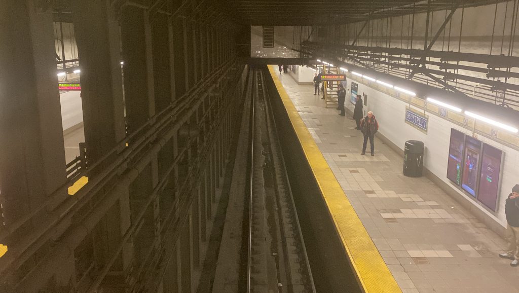
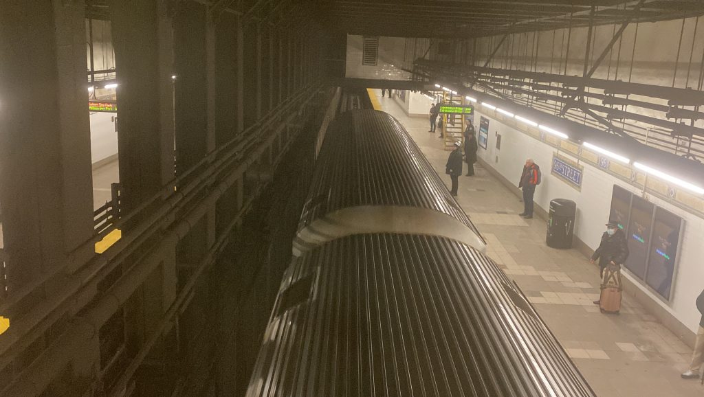
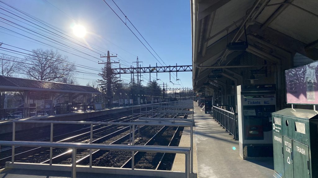
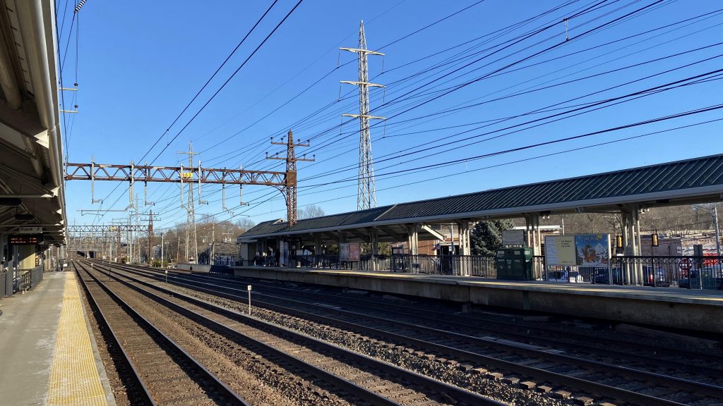
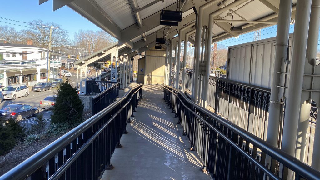
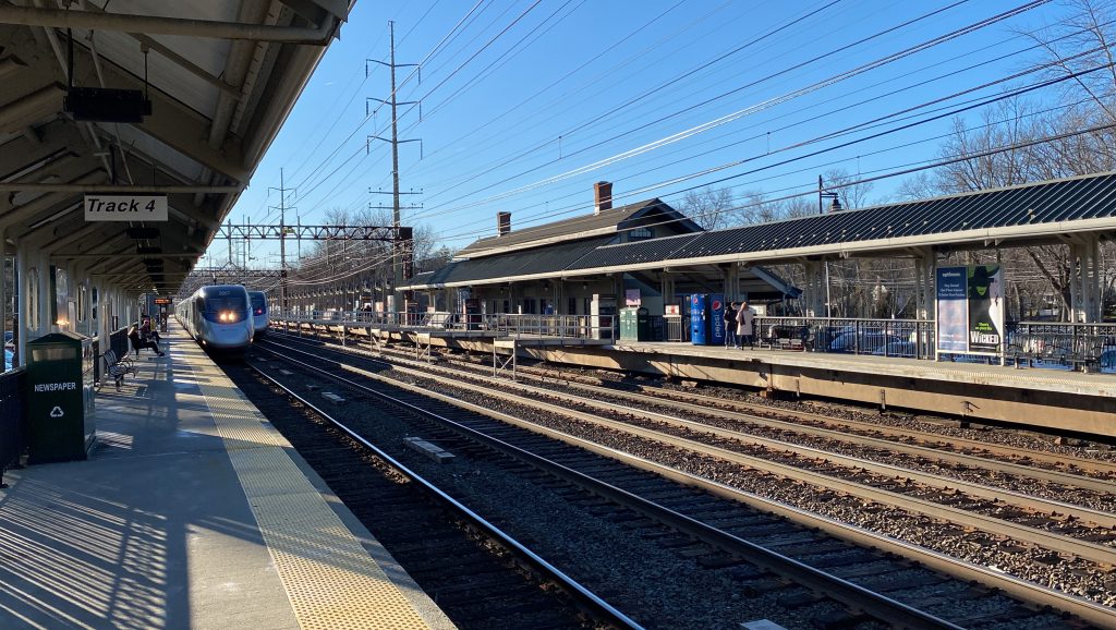
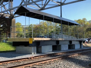
96th St. is your standard local station with two sides. In the case of the Lexington Ave. Line, the express tracks are underneath the local tracks, so you won’t really get any express action. The station’s largely standard. On the wall, there’s a mosaic that reads “96TH STREET”, presumably original to the station, and there’s stairs up to the mezzanine. In the mezzanine is an area dubbed “the balcony” where you can look down onto the tracks. Quite truthfully, it’s kinda cool and I’ve yet to find any other station like it. Going up into the mezzanine, you have benches, the windows looking down onto the tracks, the faregates, and MetroCard machines. There are no elevators, and the station isn’t accessible, sadly. For accessibility, one would have to utilize bus connections, namely the M101 or M102 from Harlem-125th.
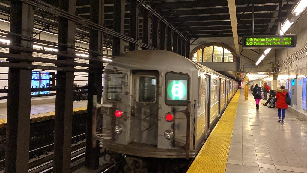
A Bombardier R62A on the #6 Lexington Ave. LineLooking south towards the city center!And north towards the Bronx!The stairs upLooking down to track levelAnother train!BUS connection.The headhouse! Look, Brookie, a Starbies!
The good: It serves the local neighborhood, and it has some standout qualities, namely the window overlooking the platform! It’s also served 24/7 (as is most of the subway network).
The bad: It’s not accessible, and one would have to change for a bus at Harlem-125th for accessibility…
Nearby points of interest: It’s on the edge of the Carnegie Hill neighborhood, and there’s an Islamic cultural center halfway between here and the Q route’s 96th St. station. And, for the railfans out there, Metro-North’s portal at 97th St. is nearby as well. Neat!
Transit connections: Lexington Ave. (6) MTA bus (M96, M101, M102, M103)
Overall, it’s a passable station. In the grand scheme of things, it’s about average with little special going for it. Sorry! But at least it’s not dogshit though!
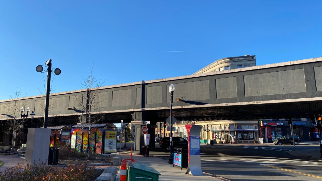
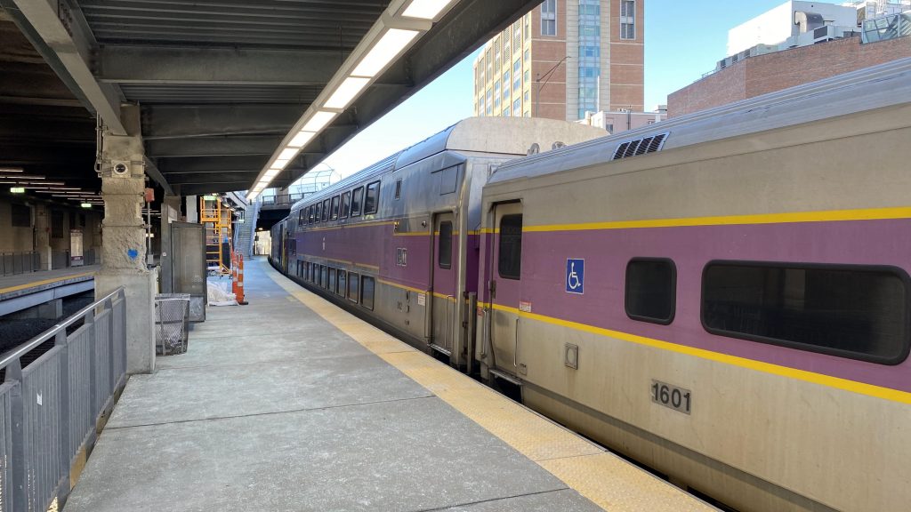
Okay, okay, I know I’m going to get some heat for reviewing a station undergoing major renovations, and for calling it “Lynn Center”. However, I REFUSE to call it “Central Square” because one already exists in Cambridge. Wait, waht? Oh, I called that blog entry “Central Square (Cambridge) (Red Line)”? Well shit, guess March ’23 me was already very aware that I’d have to do Lynn eventually. Well, here we go. Duty calls, I guess.
Very imposing concourse with Helvetica obstructed by the winter sunlight
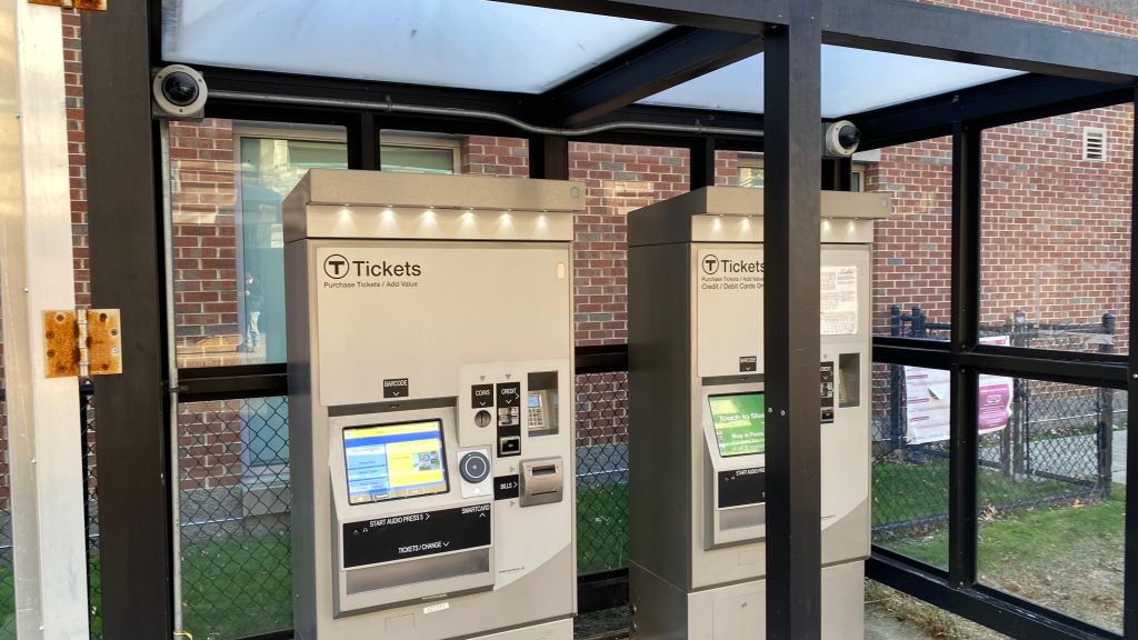
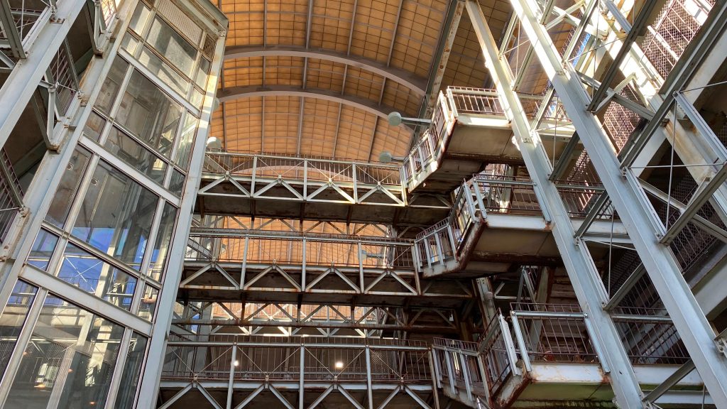
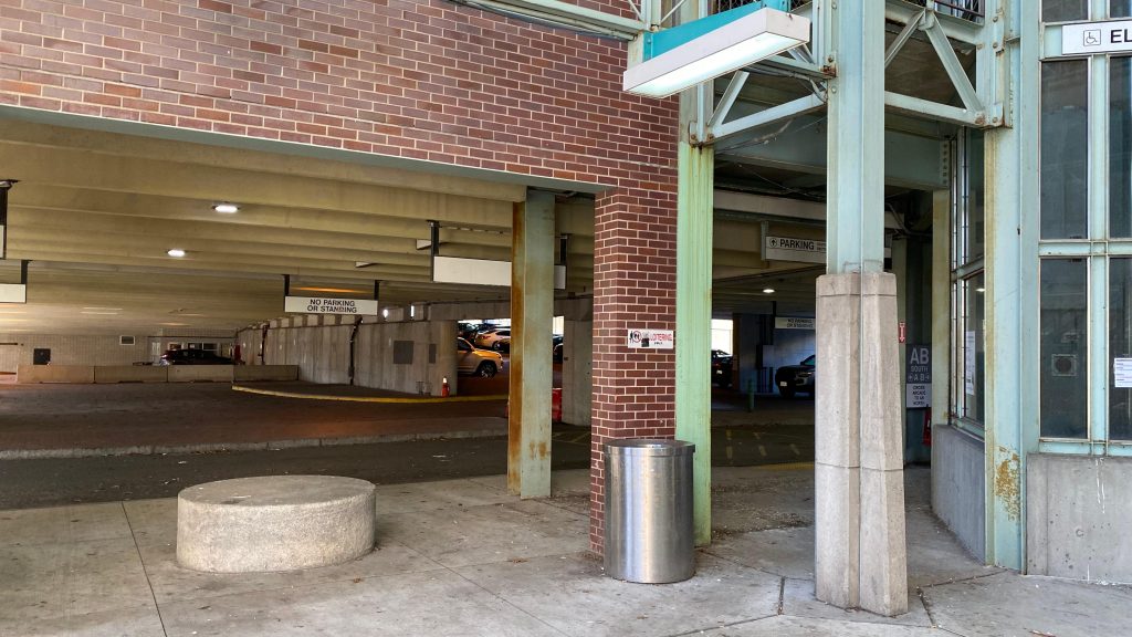
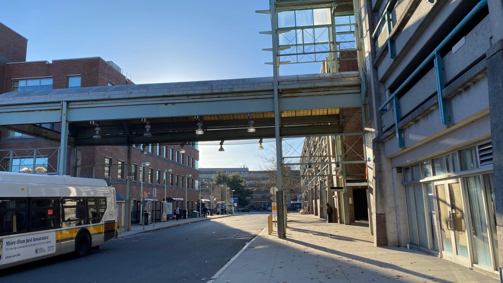
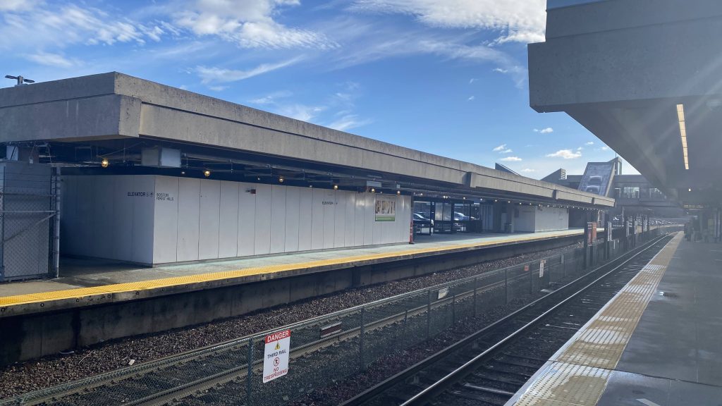
I arrived here via the 426 express bus, taking almost a full hour to traverse the local streets of Revere, Saugus, Lynn, and the expressways out of Boston. The busway itself, serving as the North Shore’s primary transfer point, isn’t too much to scoff at. You have some shelters, a couple of bus stops, the “Downtown Lynn Bus Finder” thingy which is completely outdated. Hell, officially, the station actually has TWO entrances (one was blocked off, the other was via the busway), and you can’t even go up to the platform. There’s a lot of parking to go around though, and as stated earlier, the North Shore’s bus routes all converge here. There’s even a pair of CharlieCard machines, very rare outside rapid transit territory! Did I mention this place is very imposing, even moreso than Westborough or Canton Junction with their very, VERY big pedestrian bridges??? Yeah… Honestly though, the viaduct through downtown is kinda vibey though. But the station is insanely imposing, even by MBTA standards. Whelp, that’s all! Review over!
Bye!CharlieCard machines!
The good: It’s a very short and sweet station review! It’s also ADA accessible! The bad: You really thought I was done? Nearby points of interest: Downtown Lynn! Transit connections: All of the North Shore routes! Rating: 3/10, this is pure depression!
Alright, review over! NEXT!
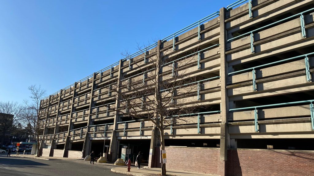
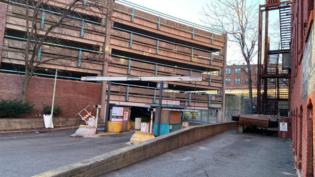
Oh dear god…That’s very far…Parking!Sheltered crosswalk?! That’s a new one.The garage entrance
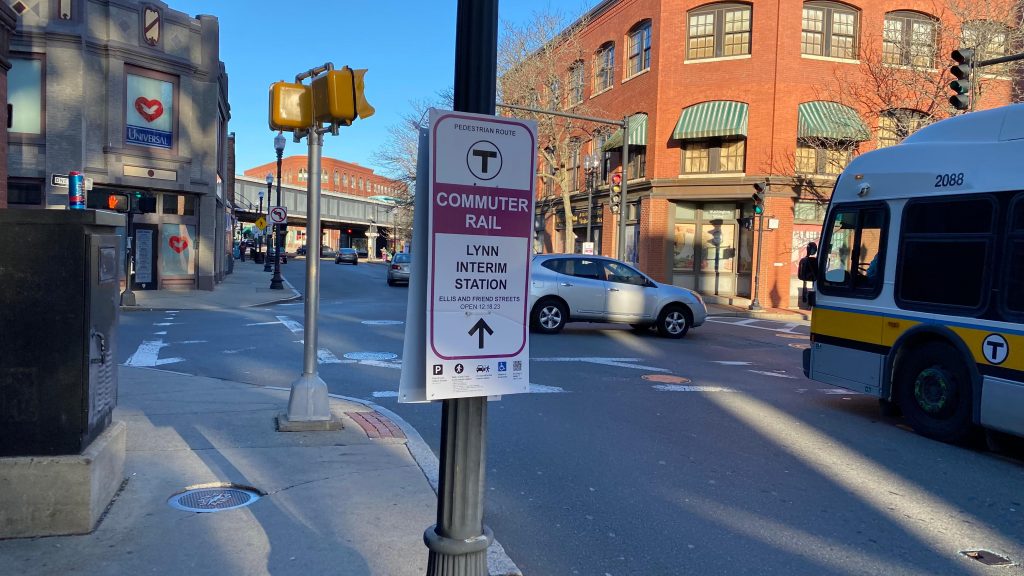
…wait, what? You mean to tell me COMMUTER RAIL SERVICE IS A COUPLE BLOCKS OVER OFF SILSBEE STREET, OFF FRIEND & ELLIS STREETS?! Oh you’ve gotta be shitting me….goddammit, Ben, Brooke, and Mx. Stuffundefined…, y’all are lucky I’m actually unhinged enough to do this, and that I’m a glutton for punishment. Well, duty calls…
Onwards…
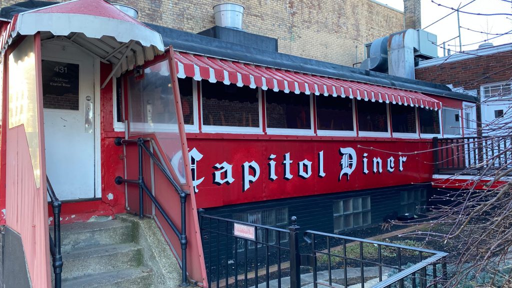
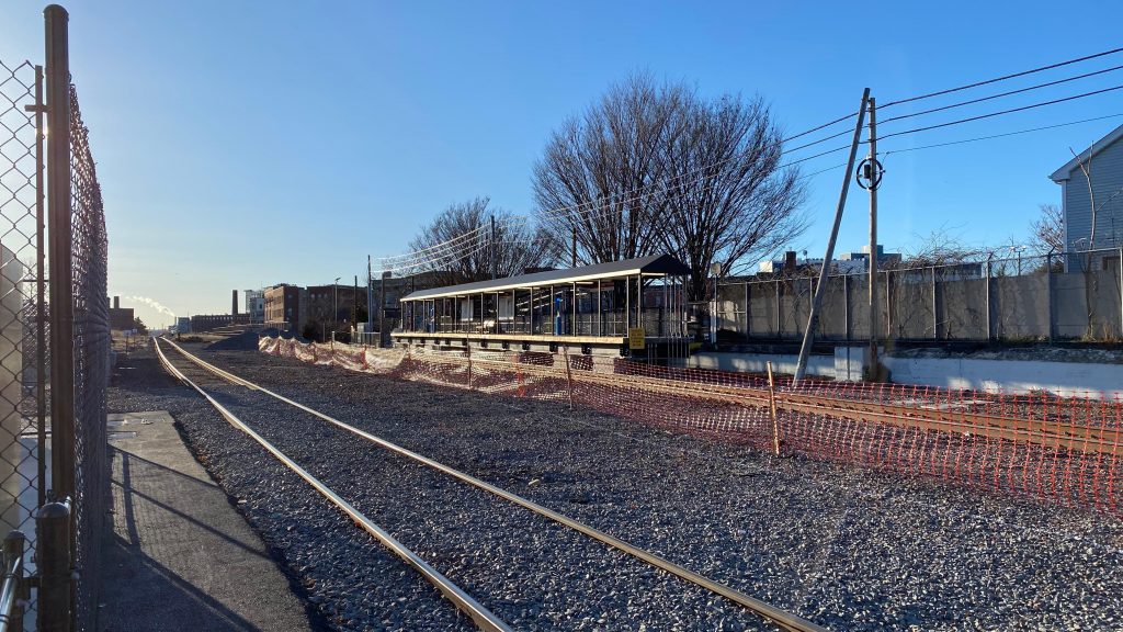
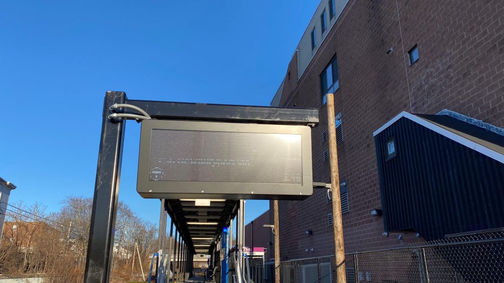
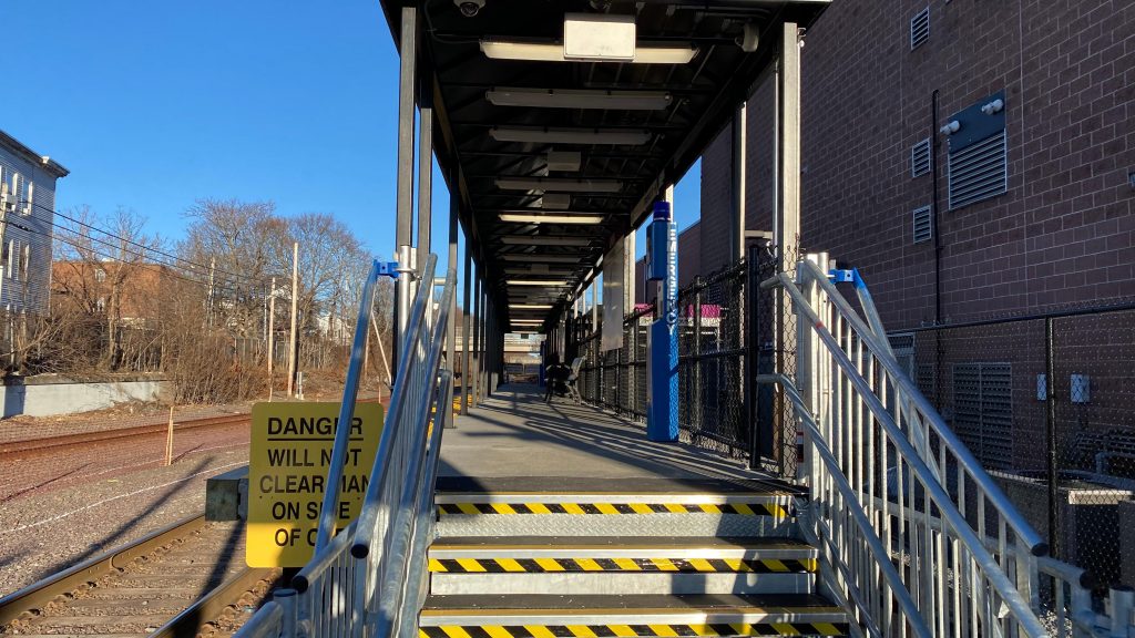
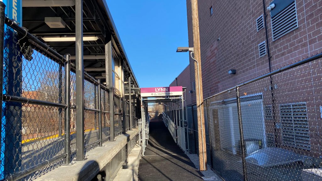
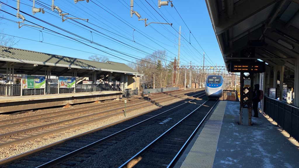
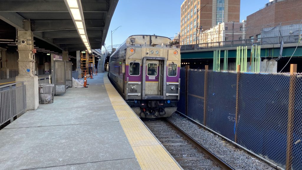
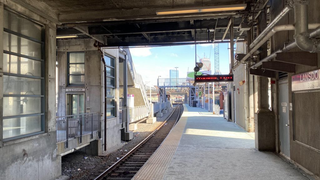
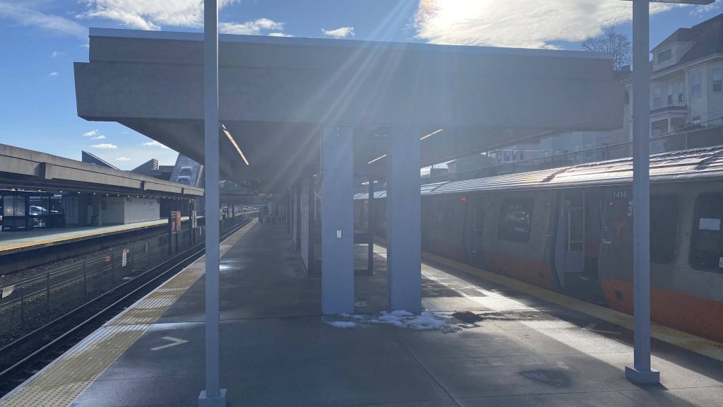
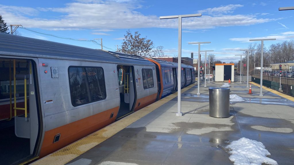
So, I started to walk from the Lynn busway to what’ll be dubbed as “Lynnterim” from henceforth (portmanteau of “Lynn” and “interim”, if anyone is wondering on etymology). This station opened this past Monday (as of me writing this, on 12/21/23) as an accelerated method proposed by Keolis to get service to Lynn faster than originally anticipated (9 months ahead of schedule!!!). Announcements at North Station advise those needing accessibility to board the two cars closest to the locomotive. Why? Well, the platform is essentially an elongated mini-high, about as long as the platforms at Old Saybrook or any Shore Line East station. And, quite truthfully, while the walk felt long (it was only 10 minutes of walking, even passing the Capitol Diner), the station itself is actually….pretty decent, all things considered! The PA system is surprisingly very beefy (much more than Pawtucket’s!) and the entire platform is covered, and also has benches and wastebaskets, which is nice. They even went through the trouble of installing proper departure boards! I repeat, DEPARTURE BOARDS FOR A TEMPORARY STATION! Oh, it’s also fully ADA accessible. Neat! There’s also a lot on the inbound side, however it’s a municipal lot and not an MBTA one. Honestly, very good even by normal Commuter Rail standards, all things considered.
DINER!The almighty Lynn ViaductMore wayfinding and ARTNo commuter parking on the outbound side!The way to the platformI spy the inbound platform…Yep. Still difficult to photograph.A fully covered platform?! That’s a new one!Helvetica!Municipal parking!Oh, cool, a train!The train coming to a halt
The good: The busway is in downtown and serves all the North Shore routes, which is nice! Furthermore, there’s A LOT of parking. The Lynnterim station is also pretty decent for a temporary one, with a fully covered platform, benches, a decent PA system, more parking, and level boarding.
The bad: The garage is very depressing. Like, I hate saying it because it stands out a lot and it’s very imposing, but I can’t help but feel it’s an eyesore… Furthermore, barely any buses serve Lynnterim. I guess this isn’t a problem if you’re able-bodied, but I can’t help but feel it might be dicey for someone who needs an ADA accessible bus to CR transfer…
Nearby points of interest: Downtown Lynn, of course! Near the CR platforms? Well, you got the Council on Aging right next door and a lot of suburban sprawl close by… sorry!
Overall, the station itself is pretty good. However, it just feels very spread apart, which is to be expected given the temporary nature and the context this exists in. But still, it’s just annoying. At least there’s also a copious amount of parking, which is neat!
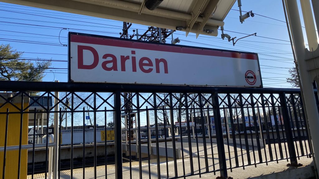
Alrighty, the last Metro-North entry for now! Welcome to Darien!
Welcome to Darien!The CTtransit bus I took here!
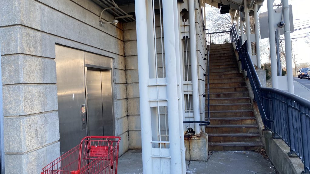
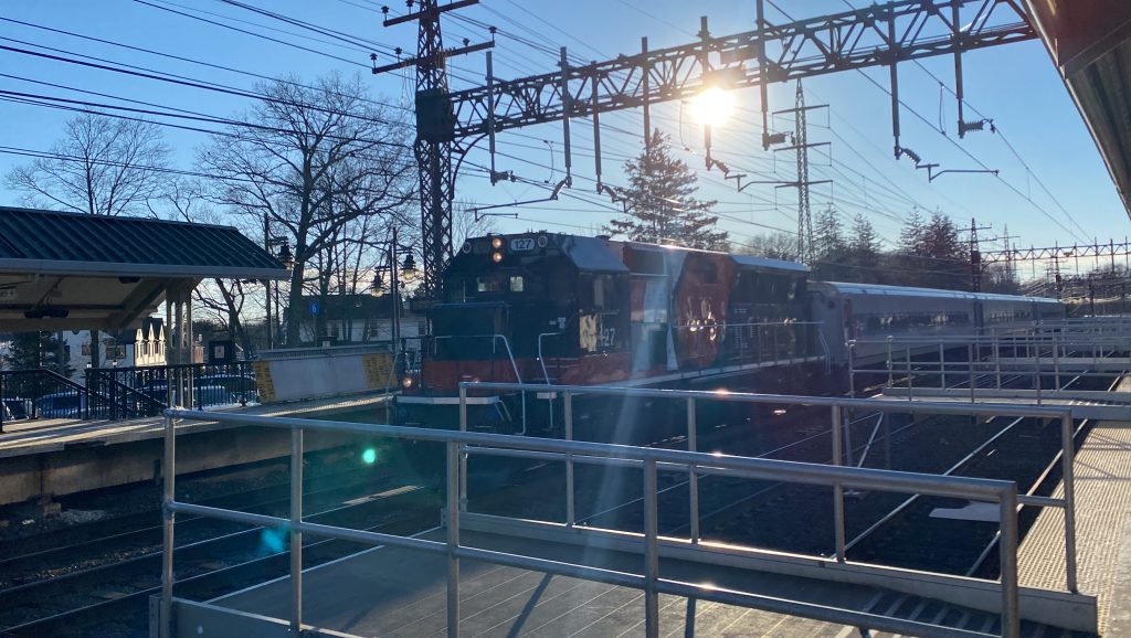
So, after taking the 344 to here, it’s pretty much got the same general stuff as most other Metro-North stations. Wait, what’s that? A sign pointing to elevators?! Naturally, I had to do the piss test…..except I can’t. Actually, neither elevator was working. The fact neither elevator works, would mean this station is accessible ONLY ON PAPER. WHAT, WHY, HOW, WHY?! This would NEVER happen on the MBTA!!! Oh yeah, track work necessitated bridge plates over one track. Vending machines can be found on the Grand Central side.
Looking towards Grand Central!And towards New Haven!Woah, elevators?!Except they DIDN’T WORK!The crossover on US-1And the other side!Parking!
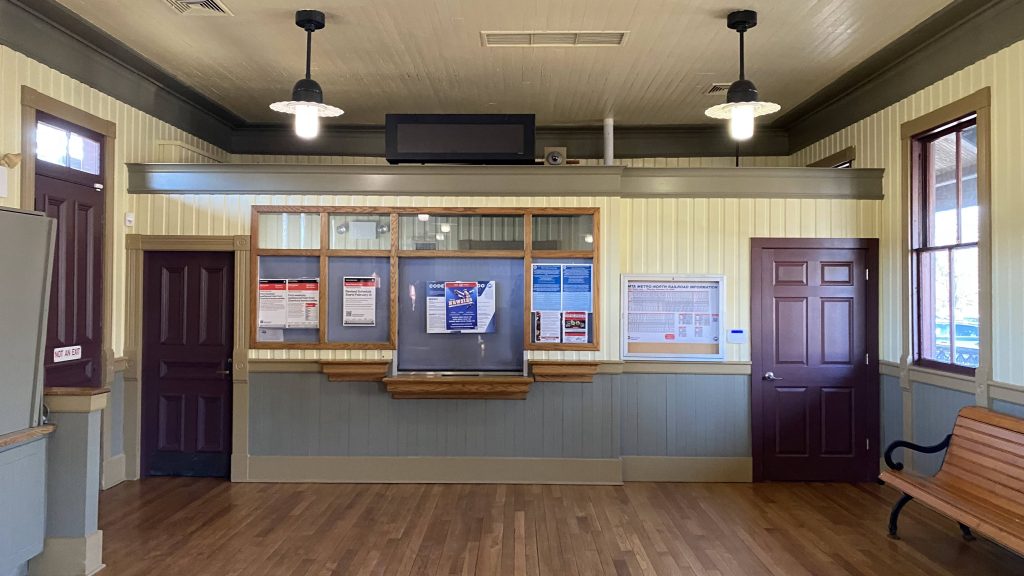
At least the station building was open…with not a lot of seating. Actually, there wasn’t much of anything, aside from a pair of restrooms and a bench. They seemed clean, but why was there an emergency exit and a fire alarm pull station INSIDE the restroom?! That’s a new one! But yeah, I think this one is open primarily because of CTtransit.
An Acela!Bye!The departure board was updating, so yes it works.Brookville, more like BROKEville.
The good: Well, the station building being open is one! Granted, it’s in a minimal manner, but it’s better than nothing! It’s also located in Darien’s city center, so there’s that as well. Also, the fact the 344 terminates in the station parking lot, with the 341 running curbside on US-1 is neat.
The bad: The station building just feels empty though! Like, it’s nice that it’s open, but it feels unlively. Also, the 341 not deviating into the station lot feels weird. But, whatever. However, the fact it’s accessible only on paper is BAD.
Nearby points of interest: Darien’s city center seems interesting. The library’s a short bus ride away too, however the area is car dependency hell due to US-1 being largely that.
Transit connections: Metro-North (New Haven) CTtransit (341, 344)
Overall, it’s a nice station. It’d be among the best, even, IF THE ELEVATORS WORKED!!! Holy SHIT! That flaw, right there, is enough for me to singlehandedly reduce what otherwise could’ve been an 8.5 or 9. And it’s unfortunate, too.
Born in 1903, Tom Yawkey was an important figure in the MLB, having owned the Red Sox for most of his life. At first glance, he might seem like a reasonable enough man, even taking in Latino players when integration was key. However, this time also drew controversy towards him because of him allegedly (and, I’ll note, I haven’t found much to prove or disprove this) being particularly racist towards the Black community and being dead last to have a Black player on the team’s roster. He’d eventually go on to pass away due to leukemia in the ’70s.
Now what the HELL does baseball or MLB executives have to do with anything I write about here?! Well, I’ll tell you.
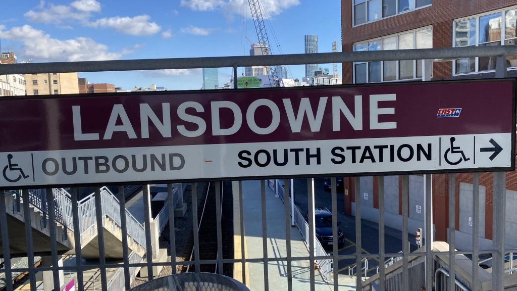
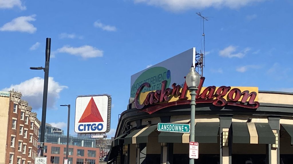
This station was formerly named after him, that’s what! Meet: Lansdowne (formerly Yawkey)
A Worcester train!Bye!
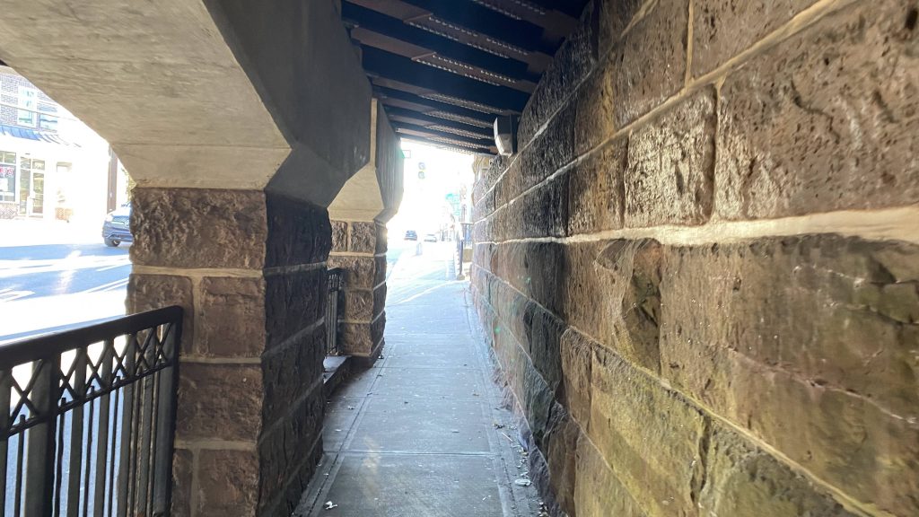
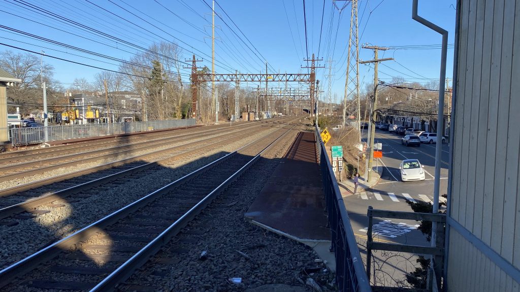
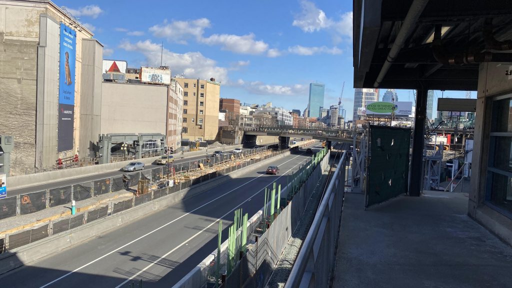
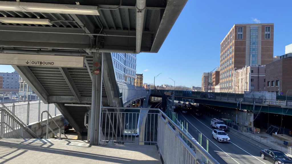
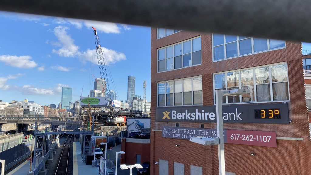
Now, getting off the train after going through the literal pits of hell known as Tracks 5 & 7 at BBY, the first thing that I noticed was the unusual platform configuration. You’ve got two side platforms, but both platforms have the yellow line facing the Mass Pike. Now, while this is unusual, there’s a good reason in that it was built with minimizing the gap between the train and platform, as the station is built on a relatively sharp curve. There’s also elevators, and unlike most of the Worcester Line (including Back Bay!), it’s got level boarding, as the mini-high was demolished with a 2012-2014 rebuild. There’s also an overpass, both towards Beacon Street and over the South Station-bound track. Just be ready to deal with rabid Sox fans during the season, and the cars of the Mass Pike whirring by. Luckily, Kenmore is also in walking distance from here. Neat!
Woah.A bunch of numbers (retired? I don’t really follow baseball.)Woo, Mass Pike!Looking towards Framingham and WorcesterHelvetica!Looking towards Fenway ParkLooking up towards South Station, at track levelThis gives off mini “pits of Hell” vibesThe Citgo sign looms…
The good: It’s got level boarding! Also, walking distance to the Green Line at Kenmore, along with commuting potential to Longwood, BU, and Brookline. And, the sports atmosphere, if that’s your thing. (it isn’t mine personally, but I know a couple of people).
The bad: It’s a bit tucked away, like it wants to be hidden. Aesthetics? Not the best, but whatever.
Nearby points of interest: Fenway Park is the big one!
Transit connections: Commuter Rail (Worcester) MBTA bus (8, 19, 60, 65 on Brookline Ave.)
Overall, it’s an alright station. Being here in the middle of winter, I’m not sure if it’s enough to handle game day crowds for Fenway Park, but since they rebuilt it in 2014 I’m sure it’s probably not a major issue. Plus, the Green Line is a short walk away!
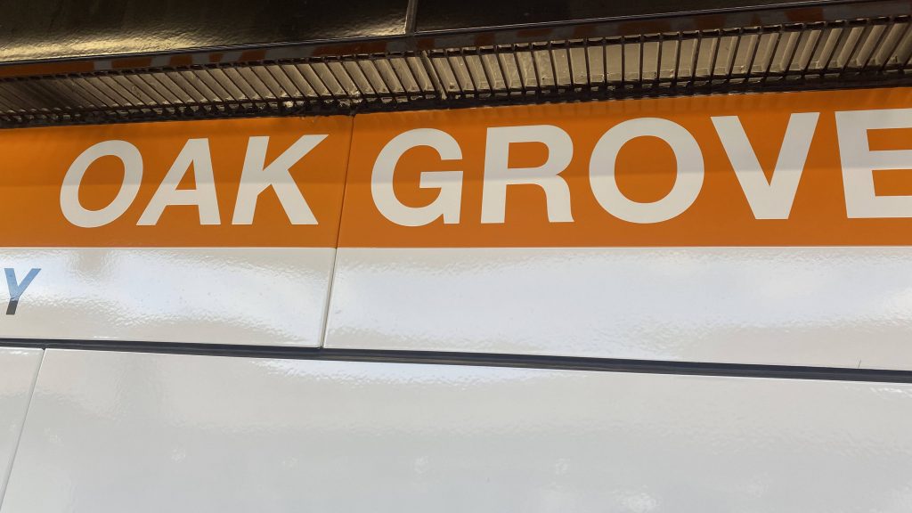
Alrighty, now to the northernmost station on the subway system! And dear GOD is it ugly!
Helvetica!
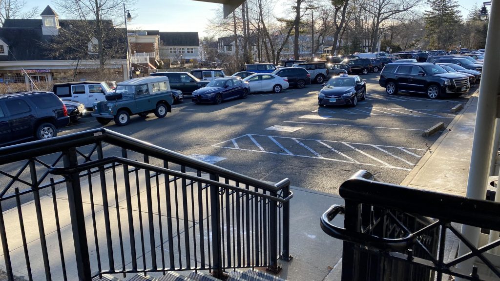
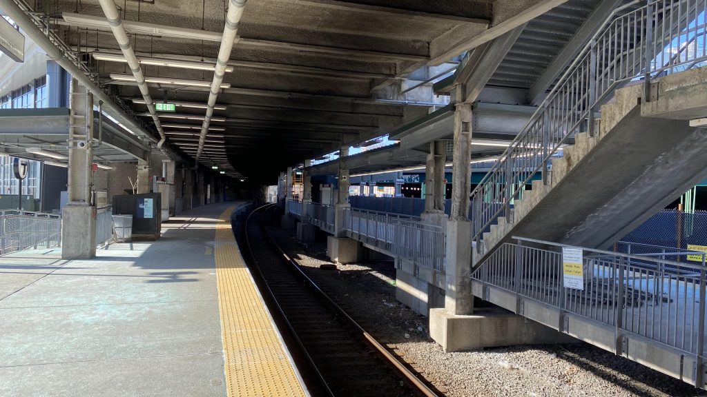
So, of course, getting off and it seems like they were high on concrete when they built this. But, whatever, it was popular in the ’70s. The platform has a sheltered area and a bit of lighting, with benches, so there’s that. Meanwhile, the mezzanine is also well-lit, to say the least. I didn’t get much of a further look since the Orange Line is (as of me writing this) in a bad state with headways. But, parking is also plentiful, and two bus routes stop here. Vs. Malden Center, it’s clear this station’s much lesser-used on the subway and, presumably, the Haverhill Line.
Now THAT’s a lot of concrete!OH DEAR GOD.BEEPBEEP.The mezzanine!
I’ll also add: you can’t access the Commuter Rail platform from the mezzanine. You need to go down and access it from the parking lot. HOW’S ANYONE SUPPOSED TO FIGURE THAT OUT THEIR FIRST TIME UP HERE?!
The good: Well, it’s the terminus of the Orange Line and it’s one of the primary park & ride stations, like Braintree is to the Red. There’s also bus connections and a Pedal & Park!
The bad: WHY, JUST WHY, IS THE COMMUTER RAIL PLATFORM SO GOD-AWFUL?! THIS IS LITERALLY A LAST-MINUTE HACKJOB! THAT PLATFORM IS ONLY MEANT FOR EMERGENCIES, AND NOW IT’S OPEN FULL TIME. YES, IT’S NICE TO HAVE, BUT THERE’S NOTHING! NO DEPARTURE BOARD OR COUNTDOWN SIGNS LIKE AT MALDEN CENTER! FURTHERMORE, YOU CAN’T EVEN DO A TRANSFER FROM THE ORANGE LINE FROM WITHIN THE MEZZANINE – YOU NEED TO GO UP, OUT, DOWN, AND AROUND. HOLY SHIT, THAT’S EVEN WORSE THAN QUINCY CENTER!
Nearby points of interest: Well, there’s a park at least. But, it’s largely suburbia so not a lot.
Transit connections: Commuter Rail (Haverhill) Orange Line MBTA bus (131, 137)
Overall, it’s alright for an Orange Line station. It’s a sizable park & ride that fits the area well enough, maybe save for the ugly concrete. However, THAT COMMUTER RAIL PLATFORM IS A SORRY EXCUSE FOR A STATION. At least it’s accessible. Unfortunately, it neuters the score a bit.
So, since everything’s on hold until the spring, that’s not necessarily that I’m going radio silent in the winter. What DO I have planned? Well, not much, but here’s the tea:
– Green Line Medford Extension (Medford-Tufts, Ball Square, Magoun Square, Gilman Square, E. Somerville, Lechmere, Science Park) (12/12/22) – Pawtucket-Central Falls (Commuter Rail) (date TBD, as close to day 1 as doable) – Happy birthday! (Stamford, Greenwich stations, New Canaan branch, & a few CTtransit entries) (2/14/23) – 1 year anniversary (DTX, Park St., Haymarket, Govt. Ctr., State St., North & South Stations) (March ’23)
These two routes are essentially the same, so I’m gonna cover them as one as the sole difference is the last stop. I’ll also be covering their street stops here, as once you’ve seen one, you’ve seen them all.
Here it comes, from Boylston!
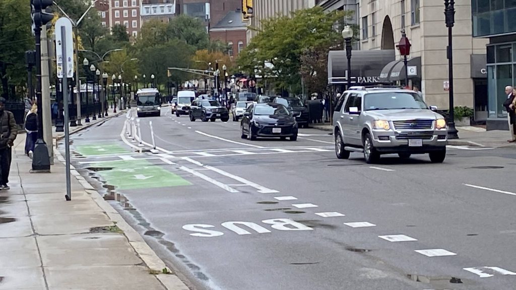
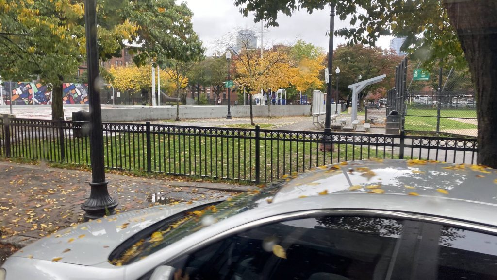
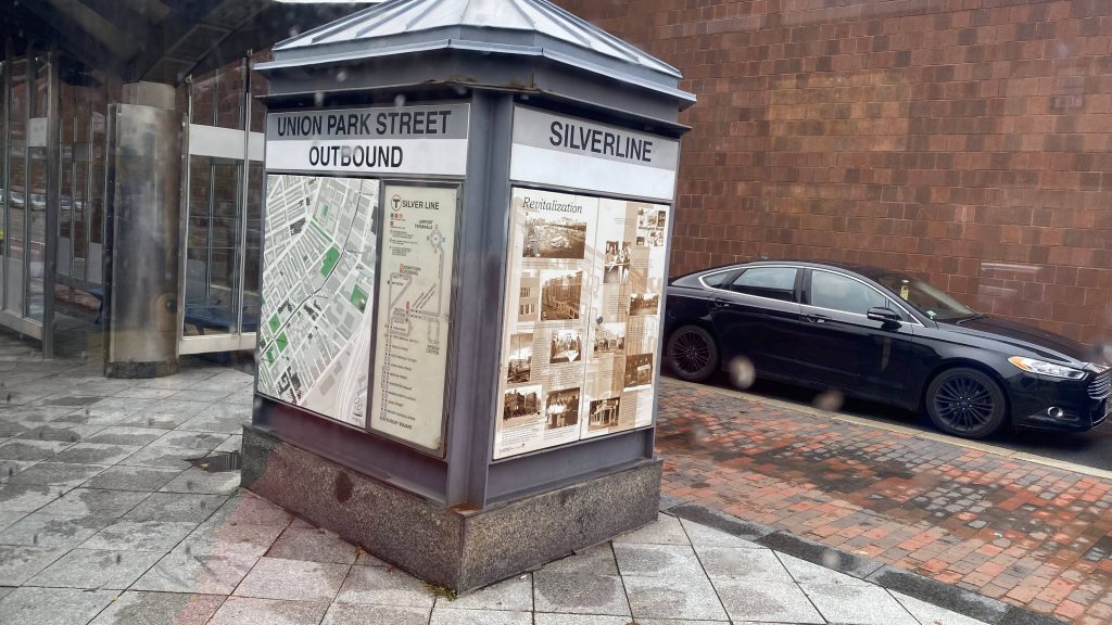
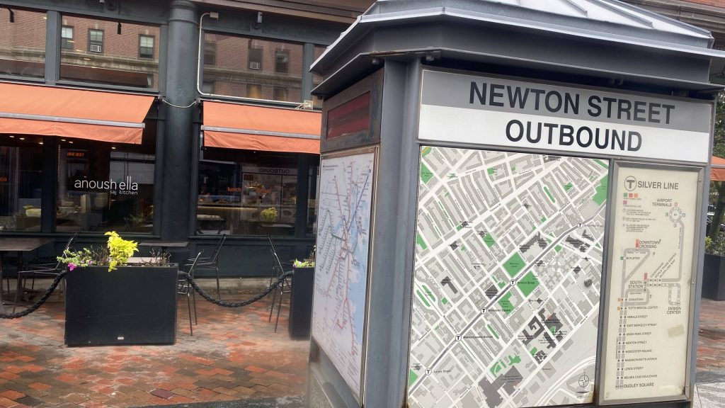
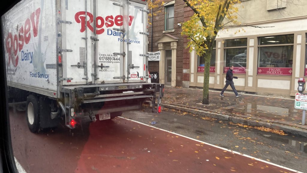
So the routes begin at either Downtown Crossing or South Station, but I caught the bus at Boylston. Once my friend and I got on, we proceeded to inch down Tremont St., and soon enough, Washington St. Now, the stops included were: – Downtown Crossing – South Station (@ street) – Chinatown – Boylston – Tufts Medical – Herald St. – East Berkeley St. – Union Park St. – Newton St. – Worcester Square – Lenox St. – Melnea Cass Blvd. – and lastly, Nubian Square.
Of course, all these were on Washington Street, with the exception of DTX, South Station, and Boylston. And yes, while bus lanes existed, it’d have been much better for proper busways ala the Waterfront. And we crawled. And crawled. And crawled. Eventually we made it to Roxbury. And eventually after that, Nubian Square.
And the “stations”? Just bus shelters with heating. Kinda nice, I suppose. But this is rapid?!
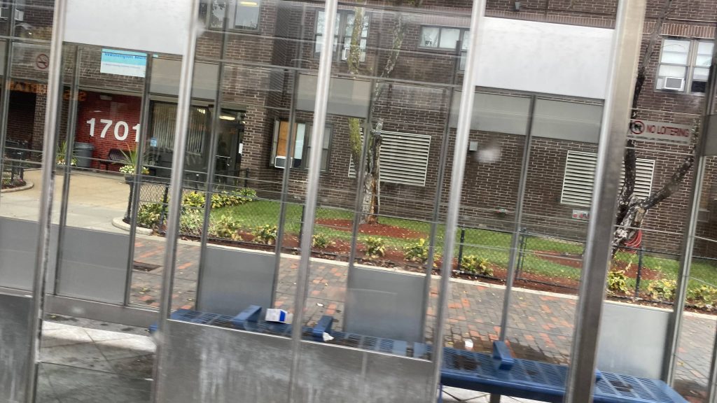
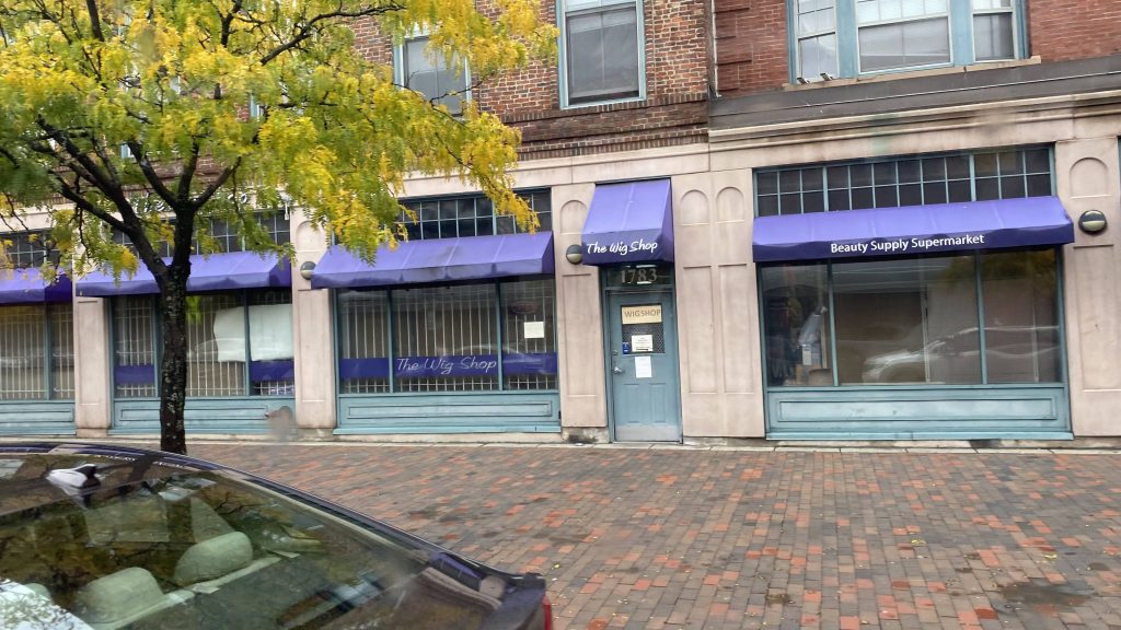
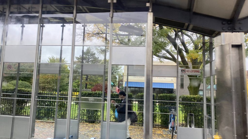
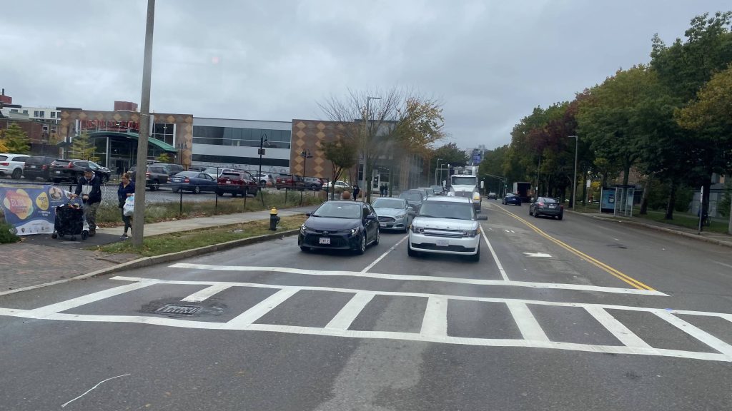
See ya!The only other rapid transit – and it’s a medical centerThe tracks to Back BayA parkA sign at a stopAnd another oneNah.And another one!A wig store?AND YET ANOTHER SHELTER!And near Nubian
For the SL4 and SL5: The good: Well, it links South Station and Nubian Square. For the SL5, replace South Station with Downtown Crossing and the Boston Common
The bad: JUST BUILD THE SILVER LINE PHASE 3!!! Y’ALL FUCKING PROMISED EQUAL OR BETTER TRANSIT TO THESE DAMN PEOPLE WHEN THE ORANGE LINE ELEVATED WAS DEMOLISHED IN THE ’80S, AND THIS WAS WHAT THEY GET?! THE PEOPLE OF ROXBURY FREAKIN’ DESERVE BETTER! HELL, THIS SHOULDN’T EVEN BE BUS, BUT RATHER ANOTHER GREEN LINE BRANCH! HELL, IT WOULD’VE BEEN BETTER OFF AS AN EXTENSION OF THE GREEN LINE, REPLACING THE MATTAPAN LINE, FROM BOYLSTON TO ASHMONT, MAYBE TO JFK/UMASS EVEN. It also gets choked up by traffic. So much for “BRT”.
Nearby points of interest: The businesses on Washington St., plus Downtown Crossing and the Financial District. There’s also Roxbury and Nubian Square.
Rating: 3/10
For the stations: The good: They’re heated, mostly!
The bad: They’re literally just bus shelters. Nothing more. No offboard fare collection either (lmao what, use the honor system like in Union Square???)
Alrighty, a CapeFlyer station, and the only MBTA station outside my jurisdiction. Now, am I going to visit this station just to write a blog? Nah.
A low-quality JPEG from Wikipedia.
Yup, it’s just a sheltered mini-high. That’s it. No low platform, no nothing. There’s a ramp though! So, I guess in a sense, it’s a high-level version of Windsor Locks. There’s some parking, but not much, and not much in the way of transit connections. As for the location? Yup, it’s directly underneath the Bourne Bridge. Does CCRTA stop at this station? Not really.
The good: It’s a (very limited) link between Bourne, downtown Boston, and Hyannis. I’m sure there’s probably a few tourists who’d get off here, but it’s largely a kiss & ride station.
The bad: It’s literally just a mini-high with no low. It’s also not a good park & ride, and it’s directly under the Bourne Bridge.
Overall, I mean it’s not too terrible. If it were a normal MBTA station, I’d say it has potential. However, I doubt the T would extend the Middleborough Line out this far. And truthfully, it’s a shame since I legitimately wish it wasn’t so difficult to go out to the Cape without a car.
Alrighty, first post in a while! This is what happens when you end up working a poverty job for all of two months – you don’t have money to write about stuff like this. So, the last of the Beach Bus routes, eh? Let’s dig into the sand with this.
Galilee!
So the journey, just like the last two, begin in Galilee and goes to Salty Brine. Wait, what? People got on! Holy crap, people actually use this! Granted, it’s all of two people but hey, it’s something! So, we progressed, and the driver stopped so a rider can get something that was on the side of a road – a turtle sand pit (you know what I’m talking about). So, after she brought it on and set it by the ADA seating (noone needed them, it turned out), we kept going. Next stop? Scarborough Beach, and OH BOY.
I was on the left side of the bus 🙁Another Beach Bus in front of usAcross from Scarborough!
A LOT of people got on. One of them asked if the driver headed to Kennedy Plaza (yes), and about 12 more funnelled in and paid their fares. So, from here, we were off to Salt Pond, and then we began expressing. And express, we did…..
No Wickford today!All the way by Jefferson Boulevard!
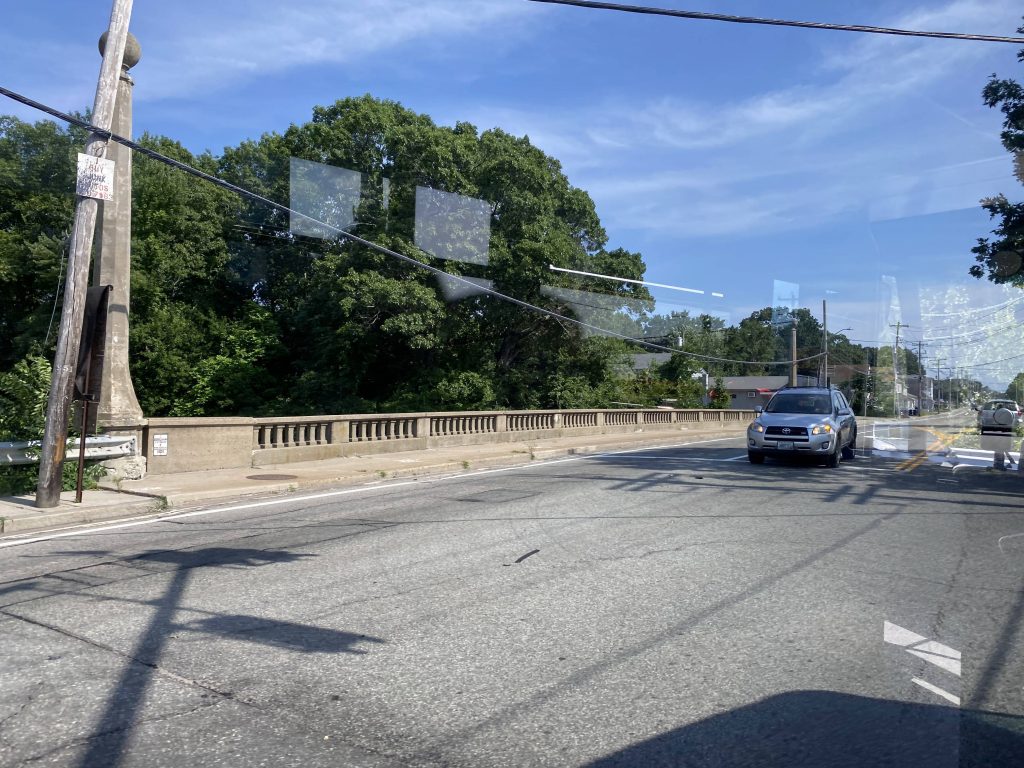
We got off at exit 16 onto Elmwood Avenue, and turned right. Wait, the route calls for a very long detour, but the Park Ave. bridge that’s being detoured around is repaired. What shall we do? Well, we detoured anyways. I guess the driver or RIPTA didn’t get the memo.
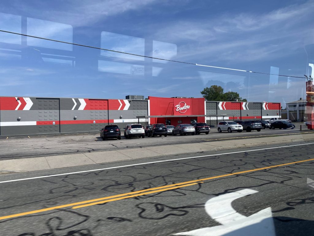
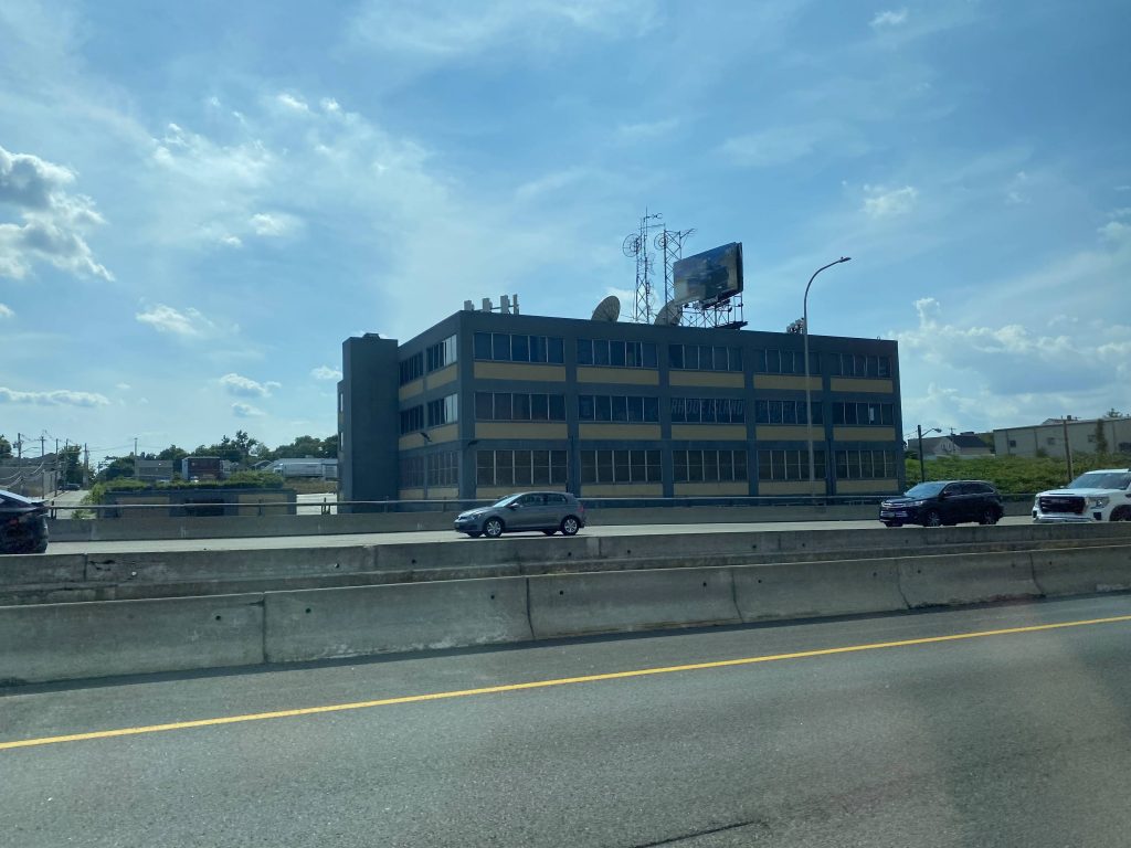
Exit 16!Elmwood Avenue!Bowlero! (wait, wasn’t this AMF Bowling at one point?)No airport today!Ah yes, familiar territoryThe interstate from above!
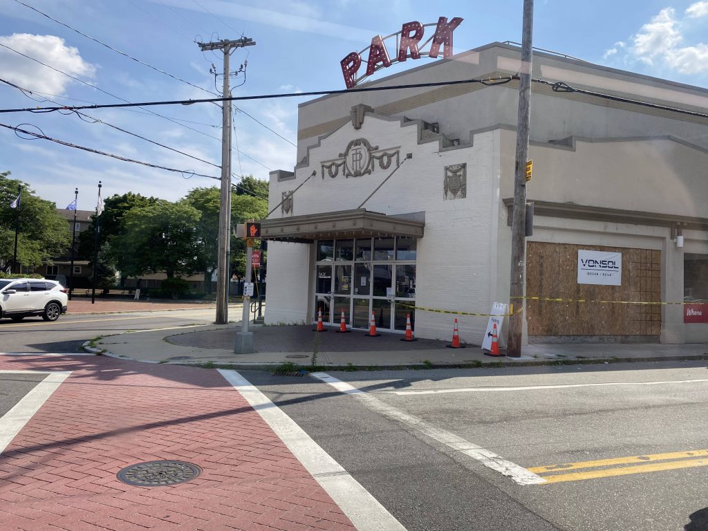
From here, we went straight down Park Ave. to Cranston’s city hall. No, we didn’t deviate into mayor Ken Hopkins’ office, sadly. However, two people did get off here. Moving onwards, we turned right onto Reservoir Ave., and quickly left the 21 onto Rte. 10….southbound???? Yeah, the routing calls for going northbound here, but we went southbound and up I-95 north to Kennedy Plaza. Weird choice on the driver’s part.
The Park TheaterReservoir Avenue!The interstate!
Wait, why are we deviating?! Oh, right, Kennedy Plaza. By this point, I was the last person on and I told the driver I was heading to North Providence, so he pulled back onto Rte. 10 and kept expressing. Was I the “asshole passenger” of the day? Probably, as I’m sure he just wanted to go home. Nevertheless, we went up RI-10 and US-6, getting off at Killingly Street. It wouldn’t be until long, though, that we joined up with the 27. We continued onwards up Greenville Ave. and George Waterman Road, hooked a right down US-44, and ended in Centerdale.
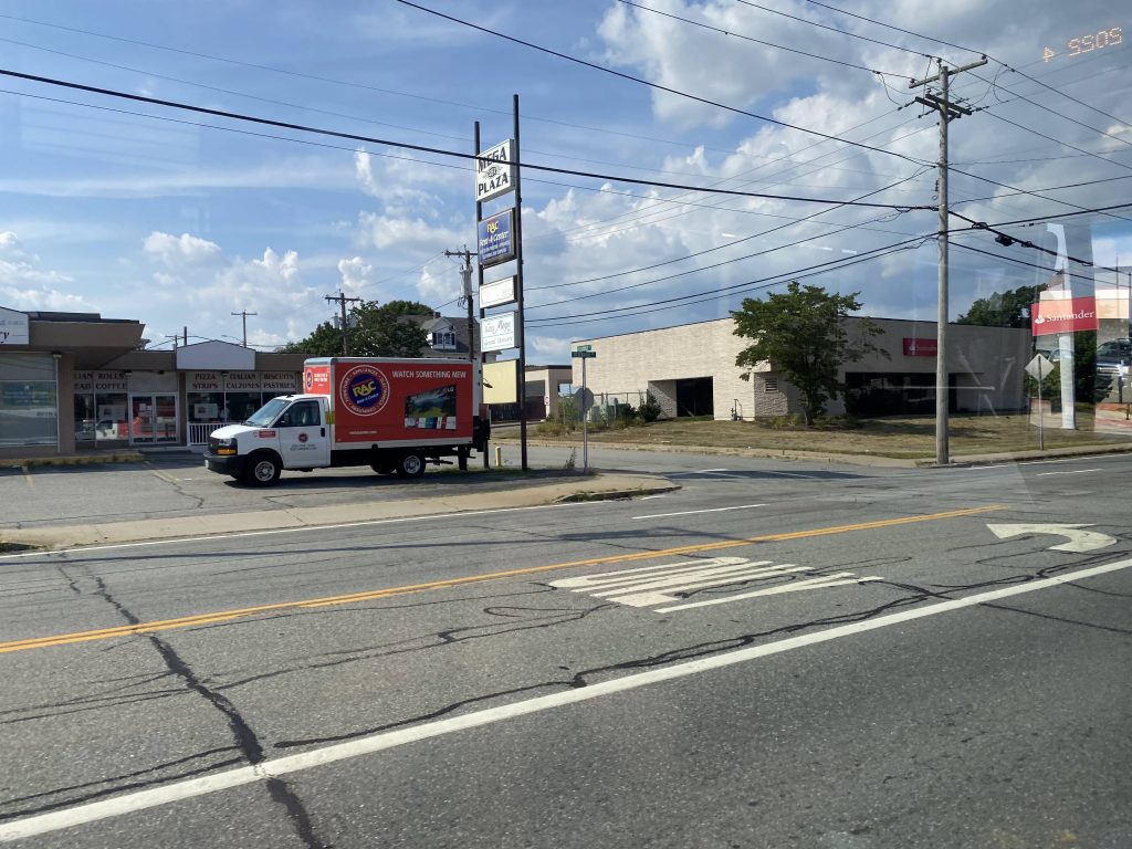
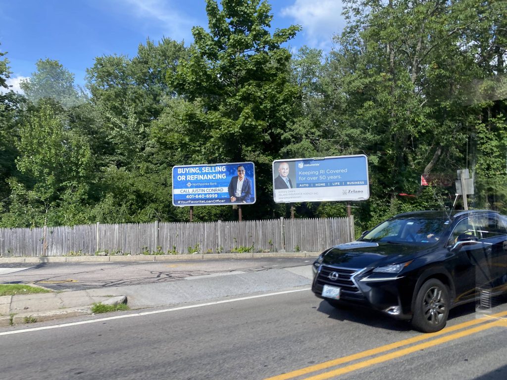
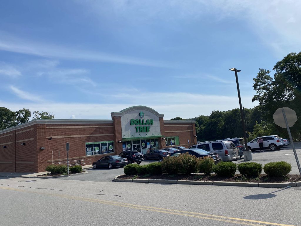
Kennedy Plaza, almostMore expressness!Killingly Street!A plaza near Greenville Ave.Billboards on Putnam Pike!Look, a Dollar Tree! (even tho it’s the same one from the 57)
The good: It’s a one-seat between North Providence, Cranston, Kennedy Plaza, and the South County beaches!
The bad: Best hope you don’t need a bathroom break.
Nearby points of interest: Rolfe Square, Centerdale, and Kennedy Plaza mainly.
Overall, it’s a decent express. For what it is, it gets the job done and very well at that. I do wonder, if having timed connections with the 27and/or 57 would be better though…