43 (Tremont St.)

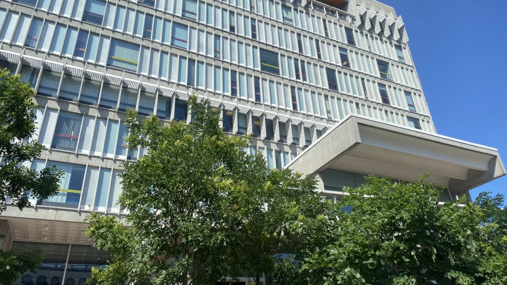
The Tremont Street subway is the oldest segment of subway in North America, running between Boylston and Government Center. Carrying the Green Line, it handles….a lot of trains per hour, to put it lightly, with some trains turning at Park or Government Center. In the ’90s, the tunnel was retrofitted to use catenary designed for standard pantographs, verseus pantographs found on a PCC or a trolleybus, and it is presently on the Register of Historic Places.

Now what does this have to do with anything?!

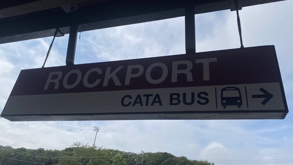
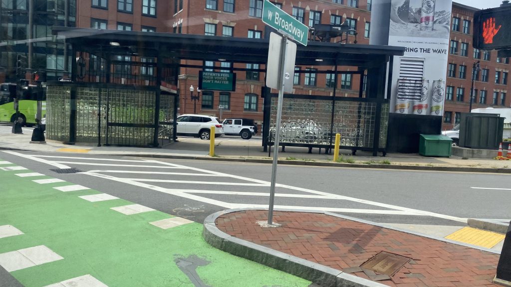
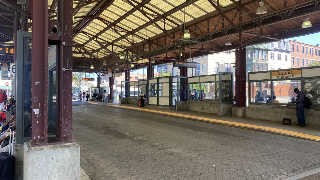
I’ll tell you what: the 43 runs down Tremont Street! …albeit, not between Government Center and Boylston stations.

A very ominous Ruggles busway

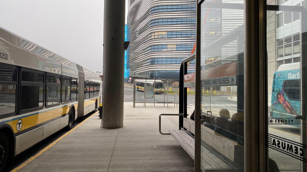
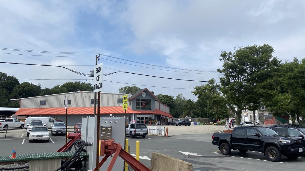
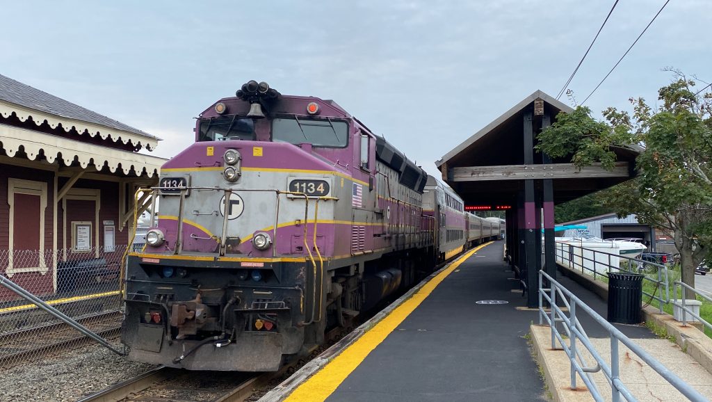
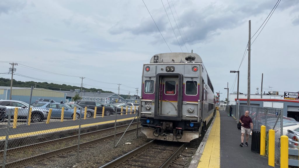
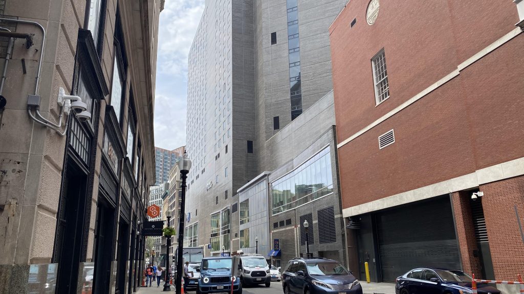
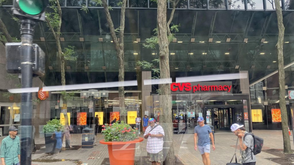
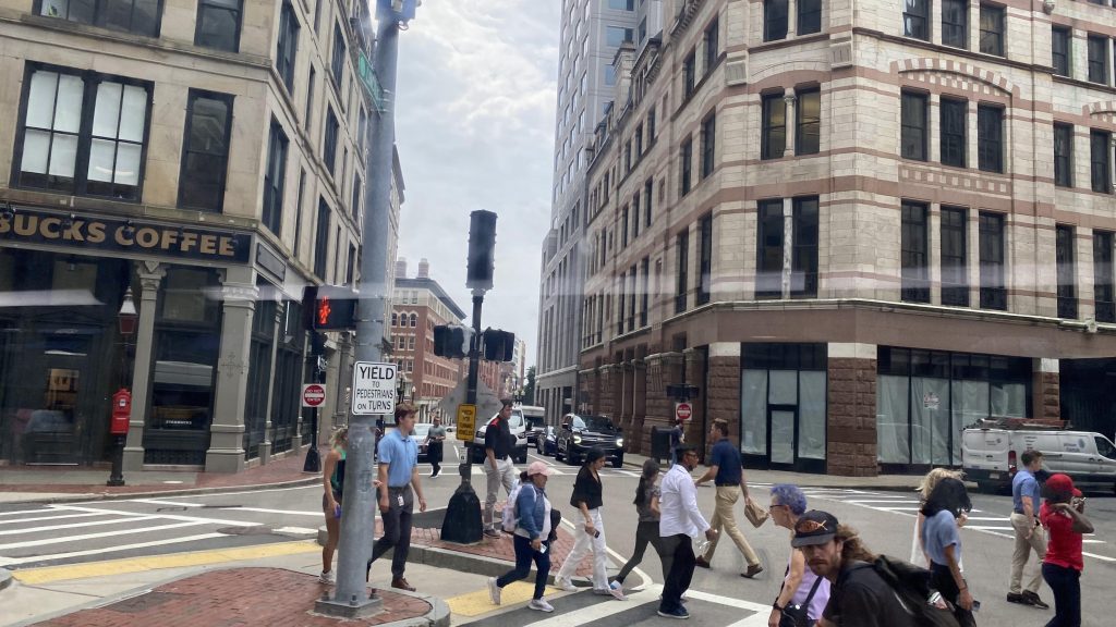
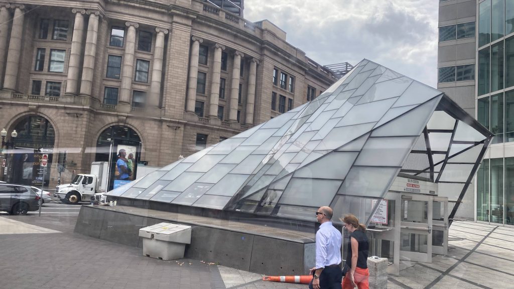
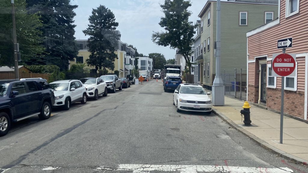
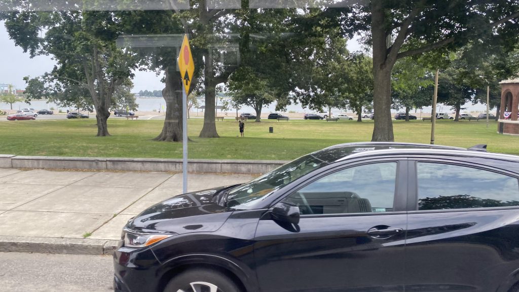
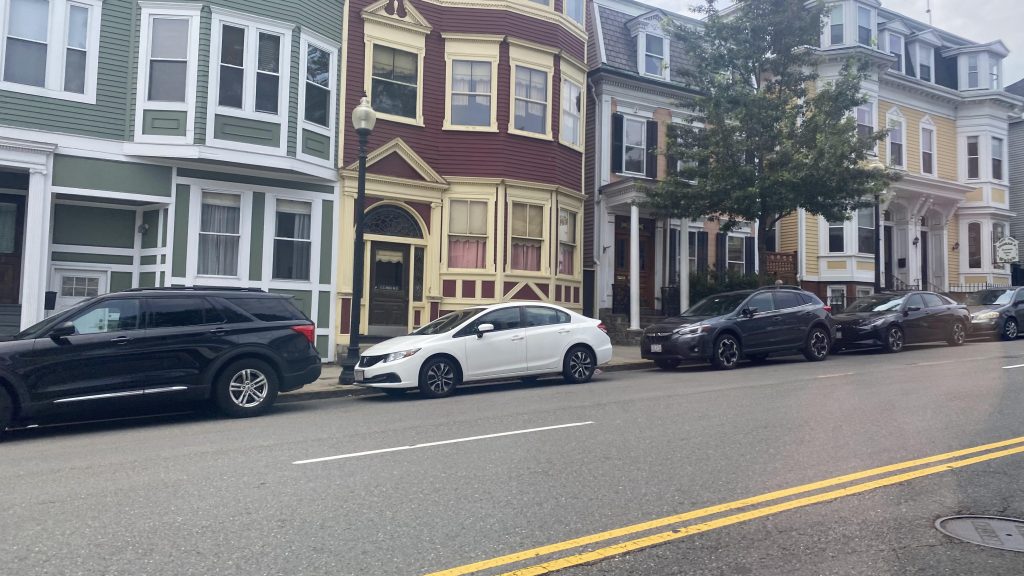
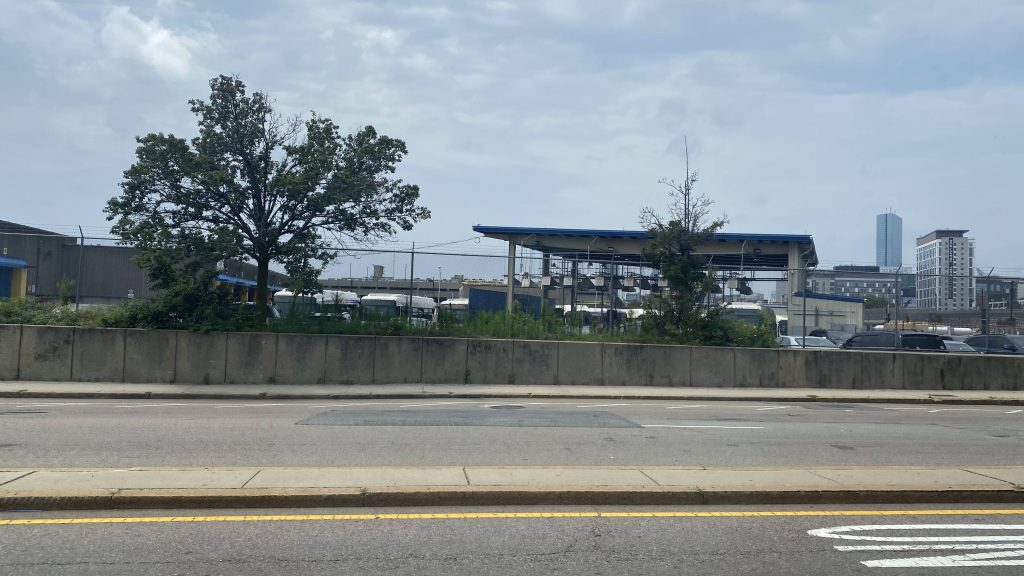
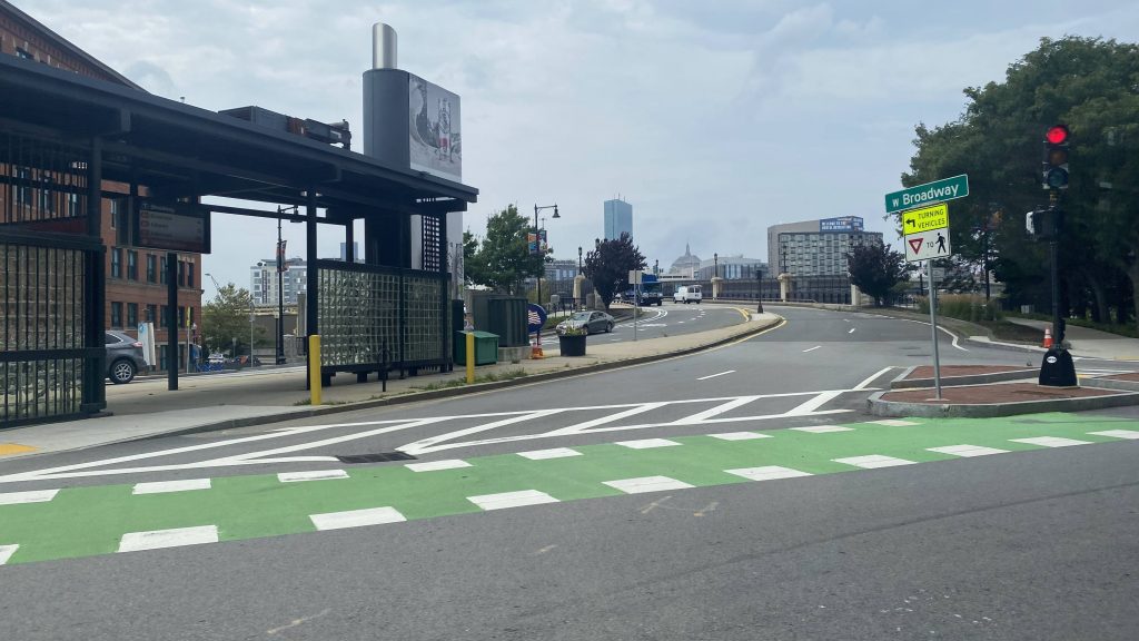
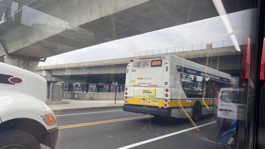
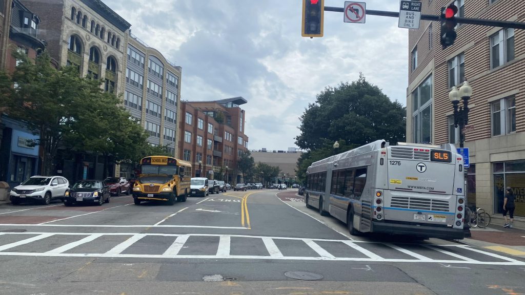
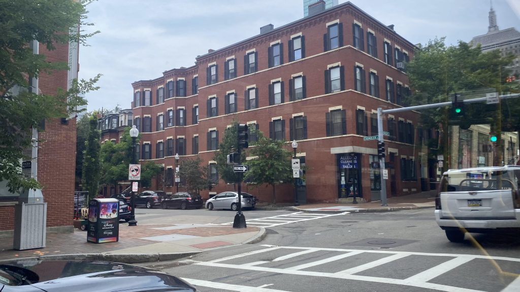
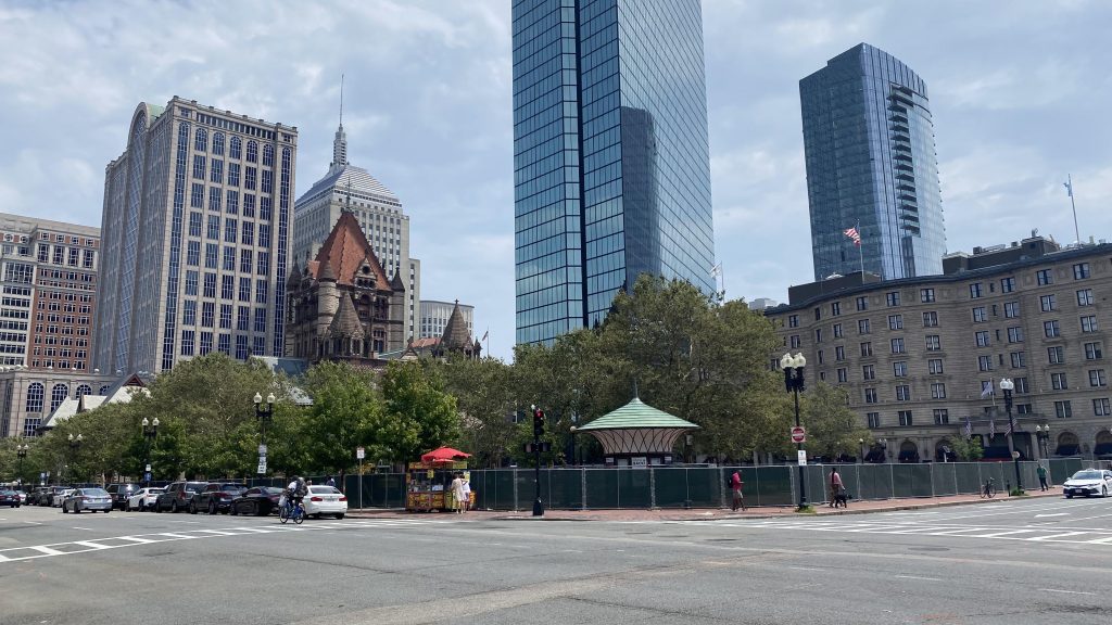
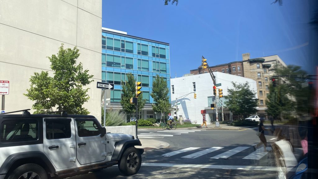
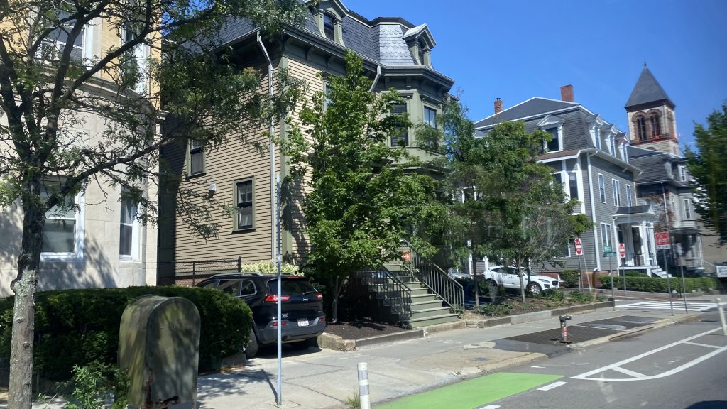
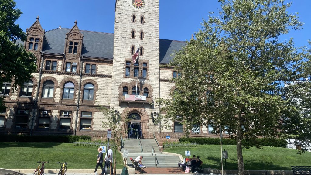
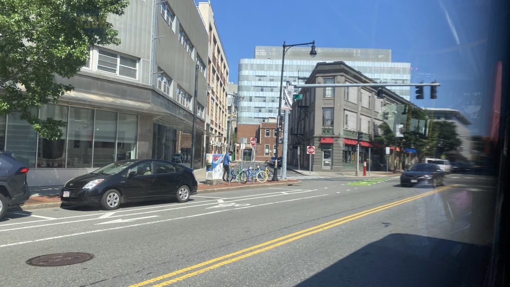
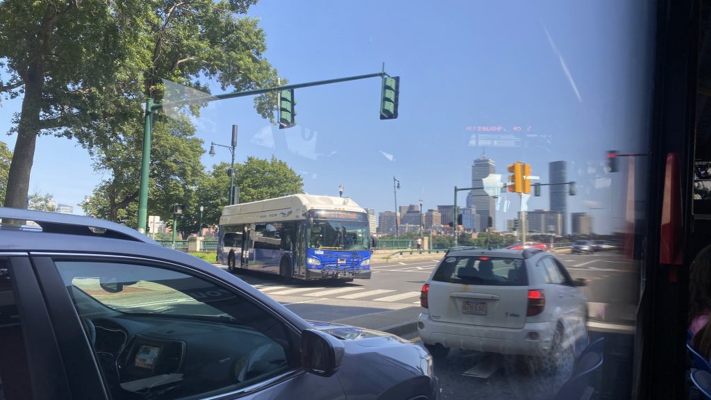
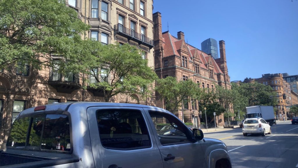
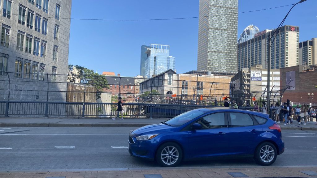
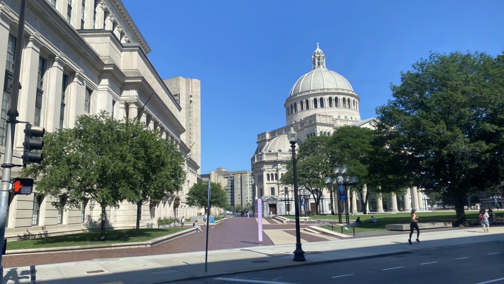
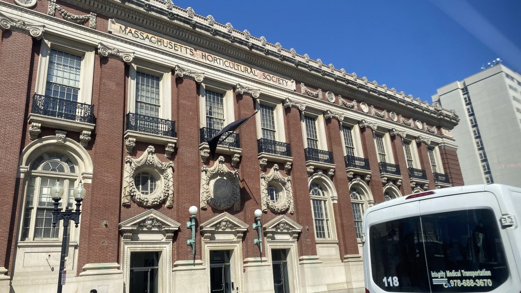
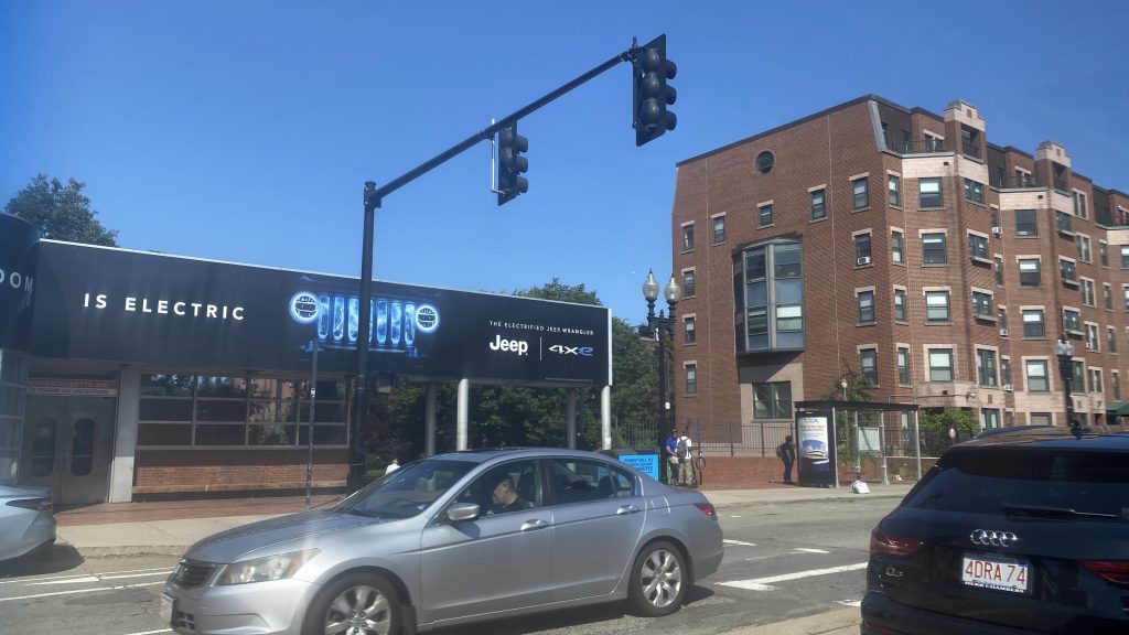
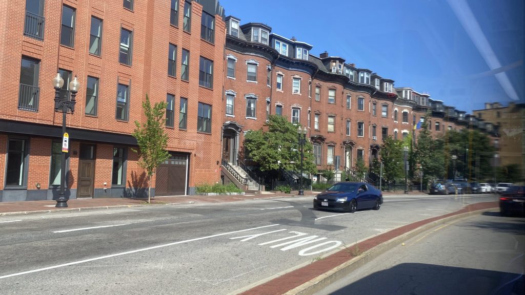
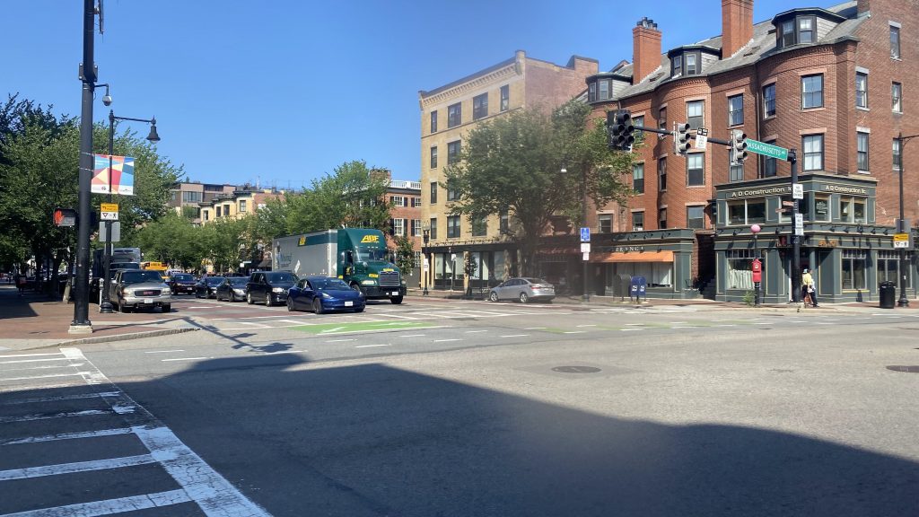
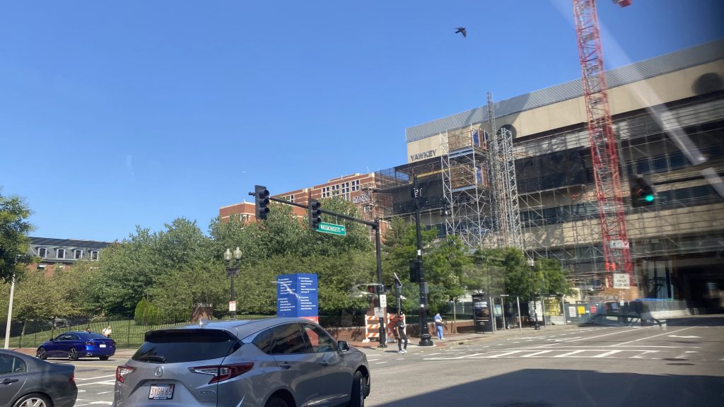
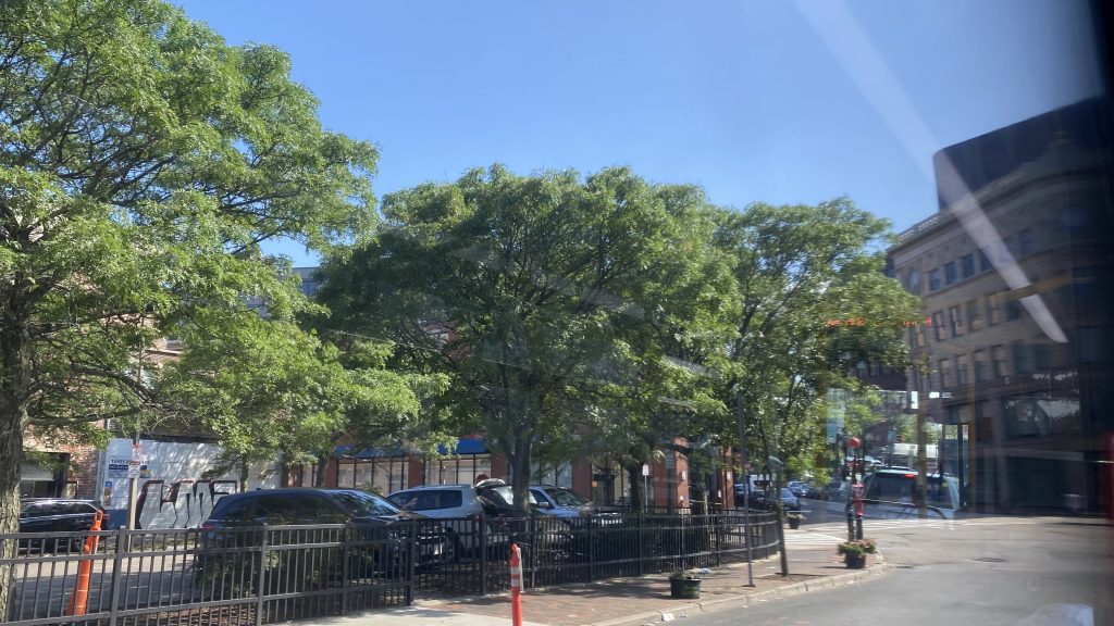
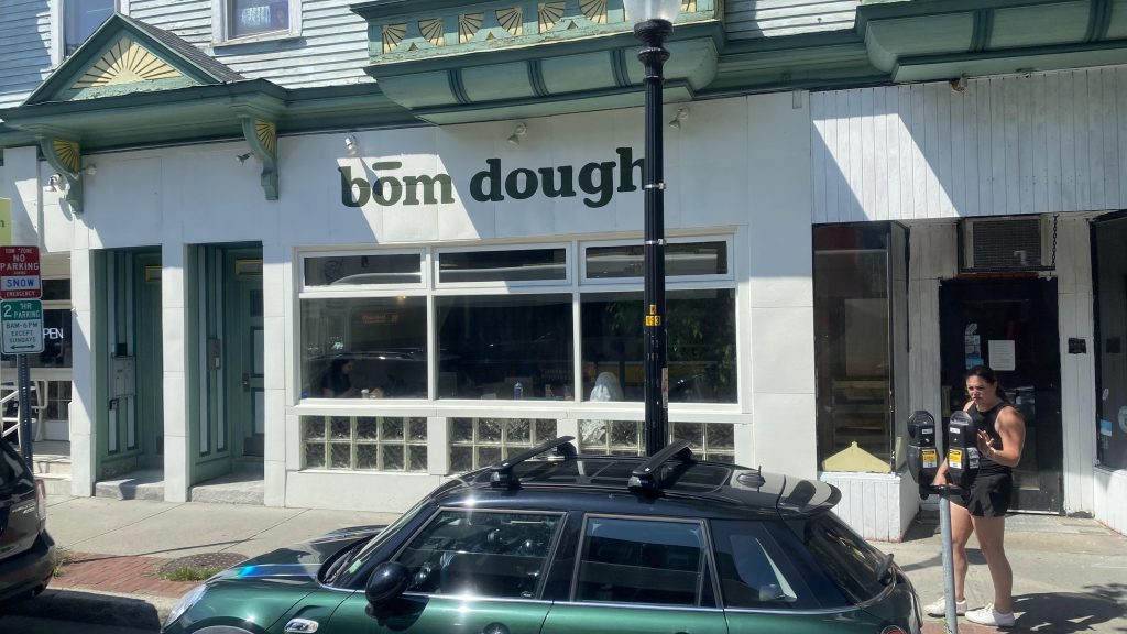
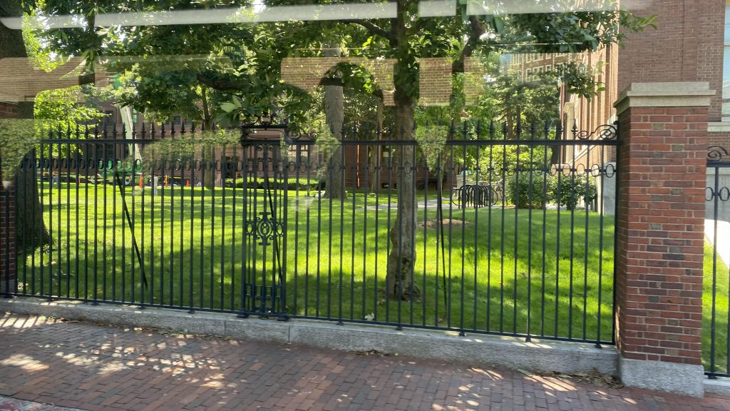
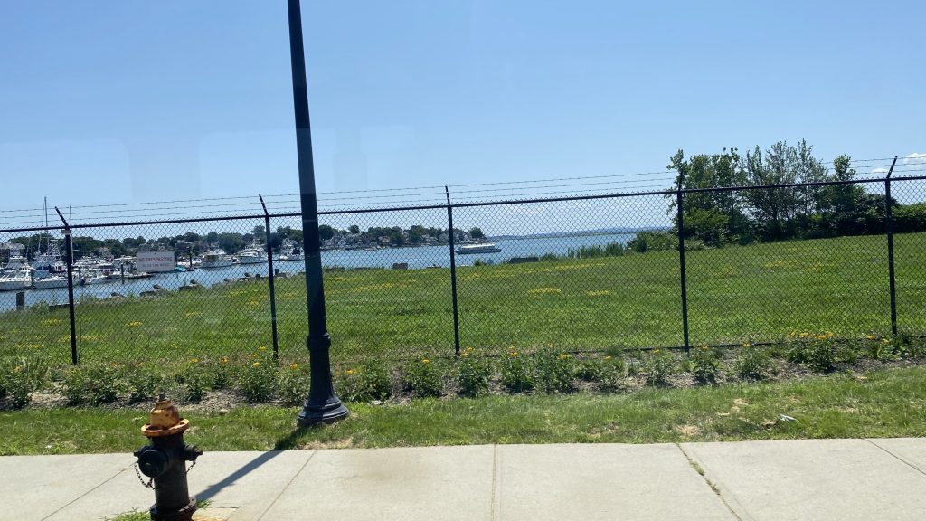
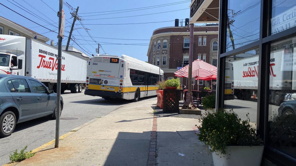
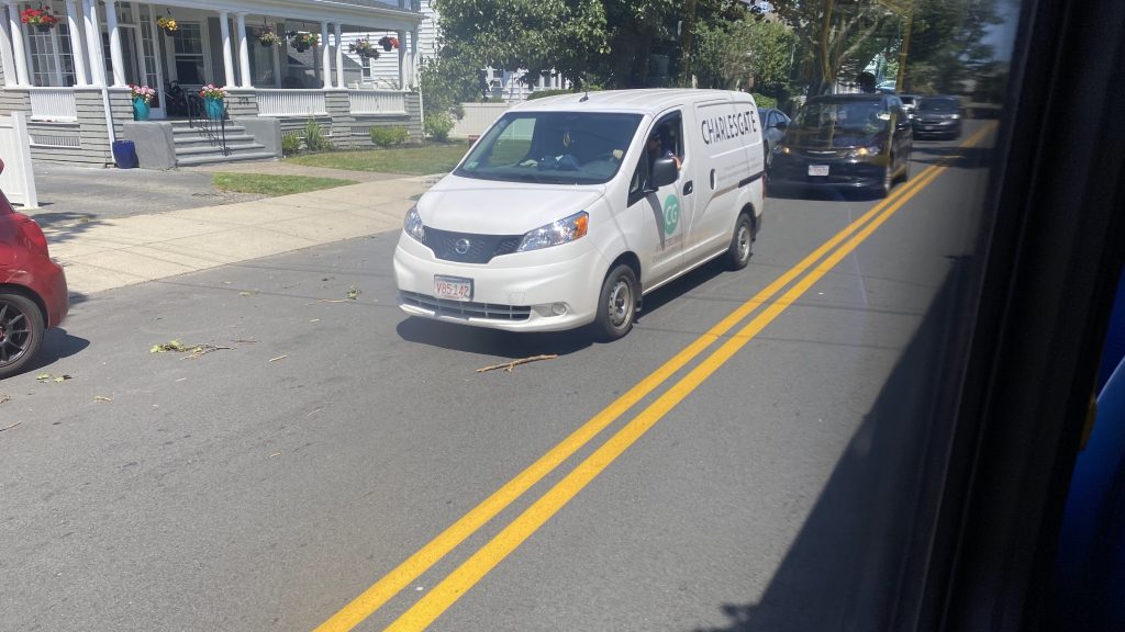
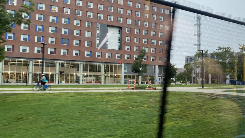
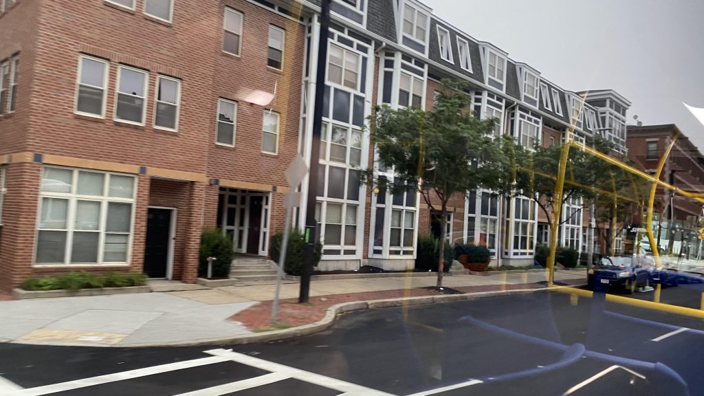
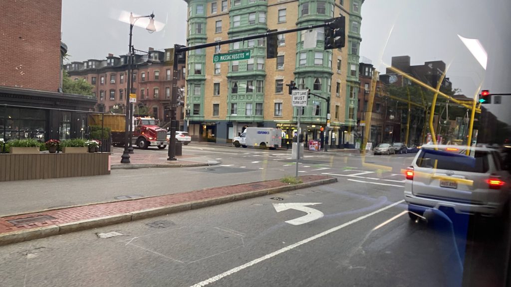
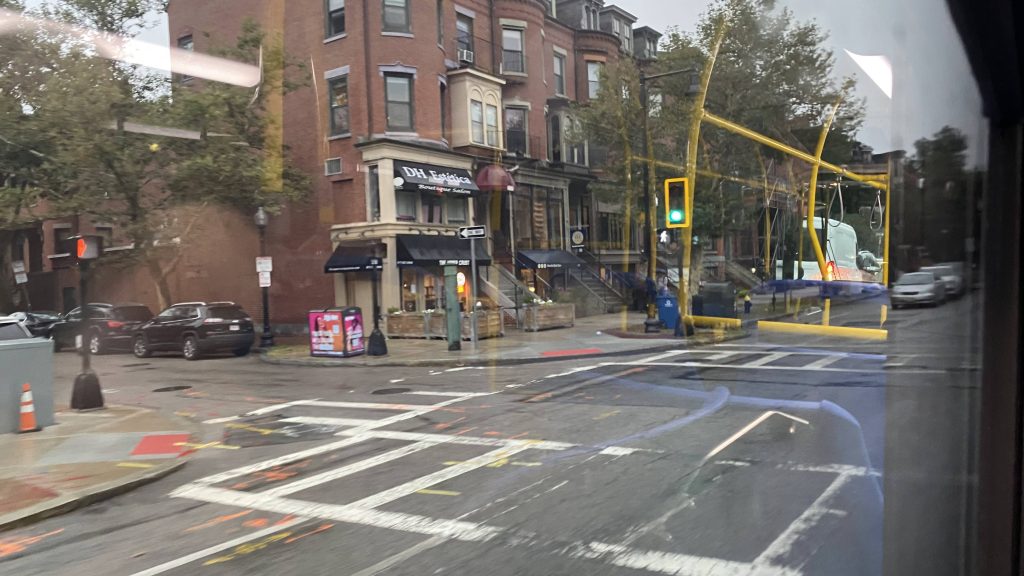
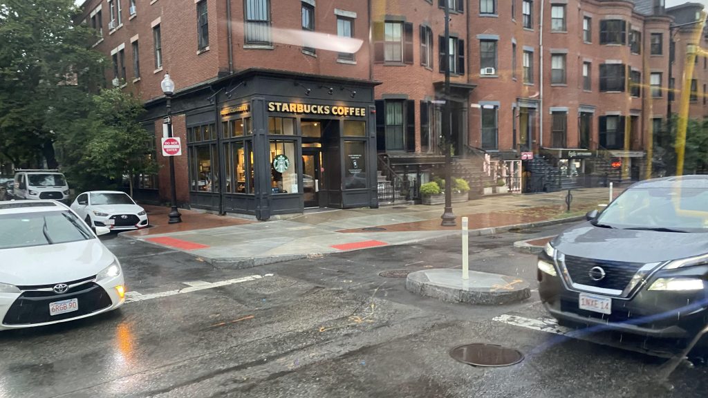
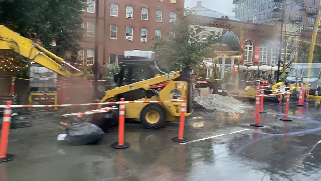
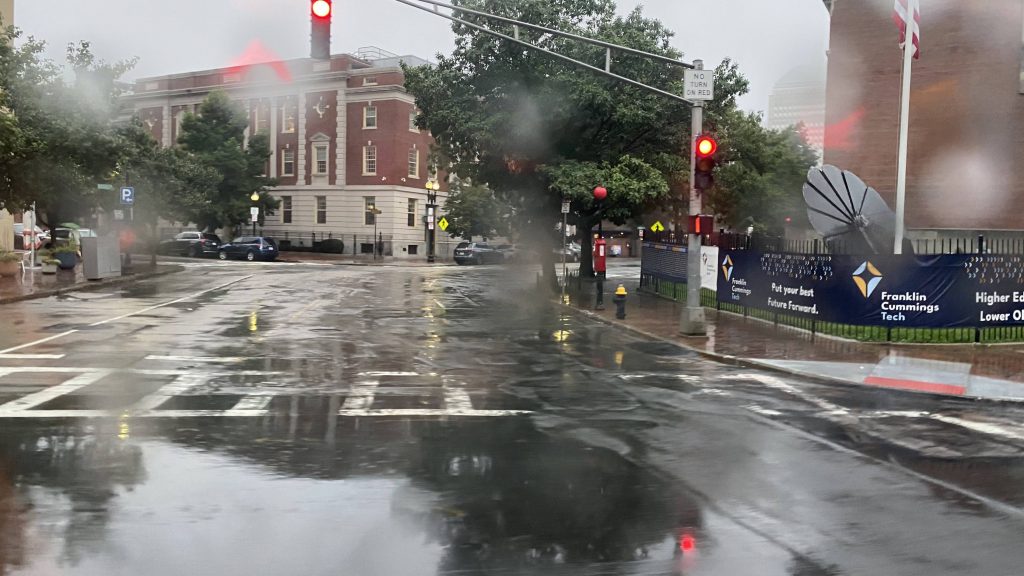
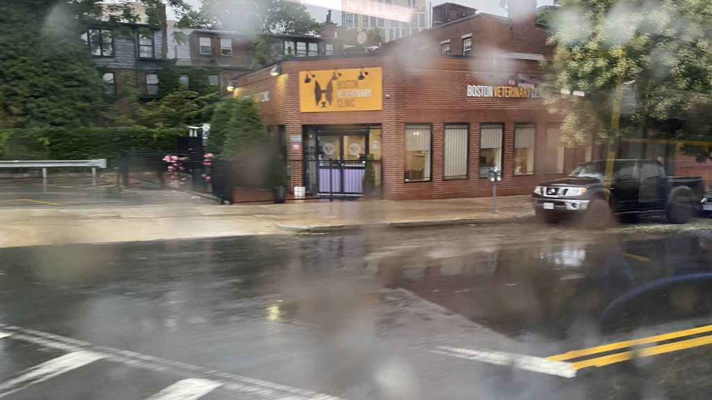
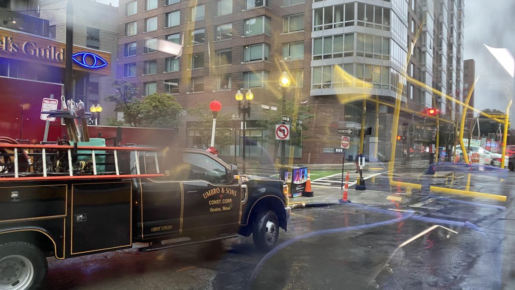
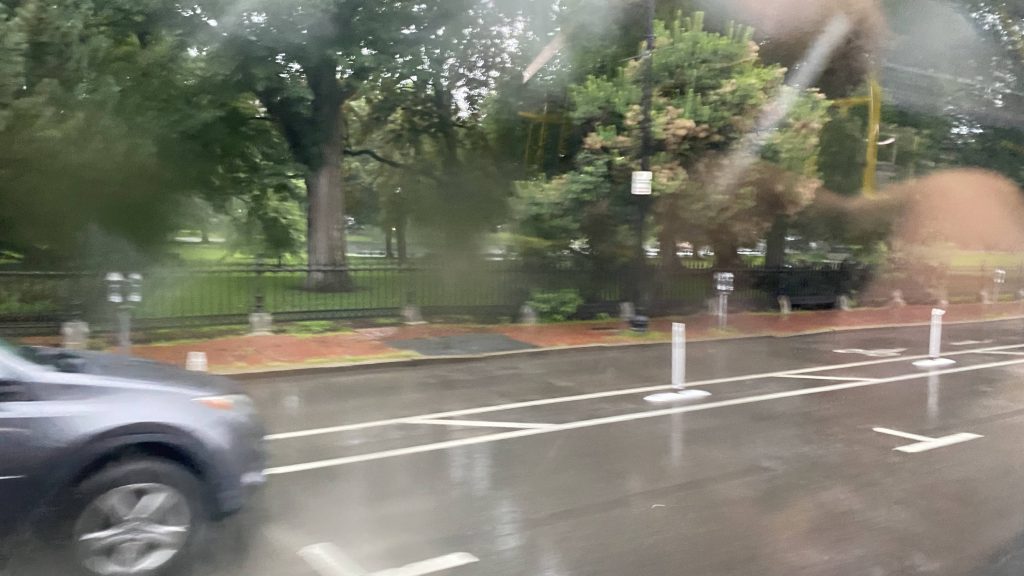
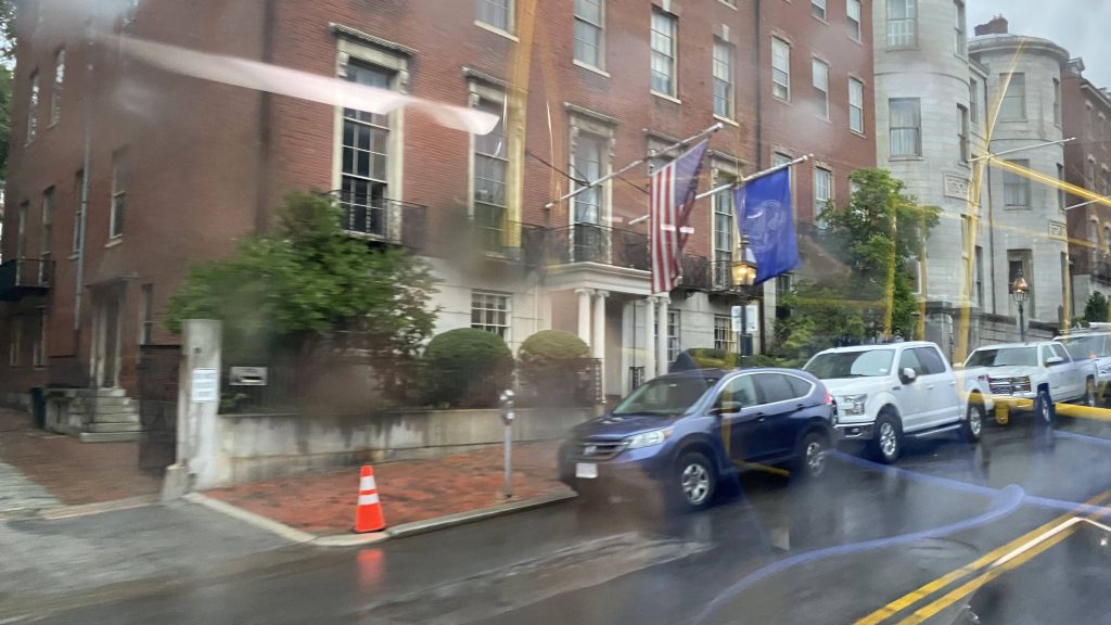
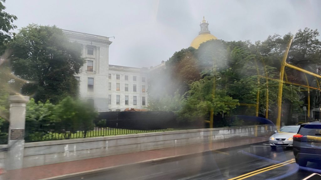
By the time I got here, I was a little nervous because there were some TORNADO WARNINGS back at home. But, given I’m pumping out this entry (and the Rockport one), my house was safe. Plus, the weather was prescribed to be bad in Boston that day too. And, I got on the bus, as we turn out of Ruggles and down the namesake street. Going down Tremont, it’s a straight shot all the way to Park Street. There wasn’t much of interest to remark, though the weather did turn worse. Housing, yep. Mixed-use? Looked like it. There was even a Starbucks! Neat! But, I do wonder, what if there was a GLX to Nubian via Tremont Street? Anyways, yeah, there wasn’t too much to remark, aside from MBTA headquarters. But, you can see the Common and the state house! Neat!

Onwards!
Housing!
Lenox Street! (I think)
Massachusetts Avenue!
…mixed use?!
Look, Brooke, a Starbucks!
Construction!
I know someone who tried to get into BFIT!
The vet!
Into downtown!
I’m pretty sure this is at 10 Park Plaza.
The Common!
Near the end!
Hi Maura!!!
The bus op was nice enough to drop me off at the station headhouse.

The good: It’s short and sweet! Furthermore, for what it is it’s often enough that one can use it for short trips if they’re lazy enough. Especially evident when I rode it, as a wave of severe storms (enough to pop a few tornadoes in Rhode Island!!!) were blowing through. As for end to end? Ehhhh…..

The bad: The Orange Line duplicates the route! If you’re going end to end, just take the Orange Line, it’s still more frequent AND is faster! We hit traffic in Park Plaza, leading to the operator cussing!

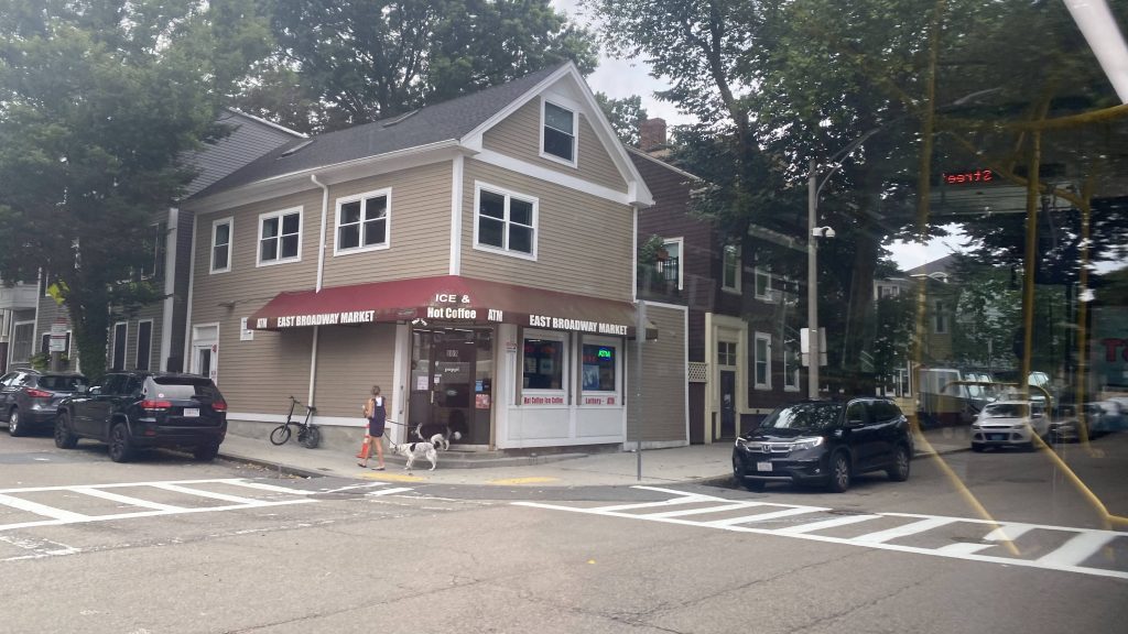
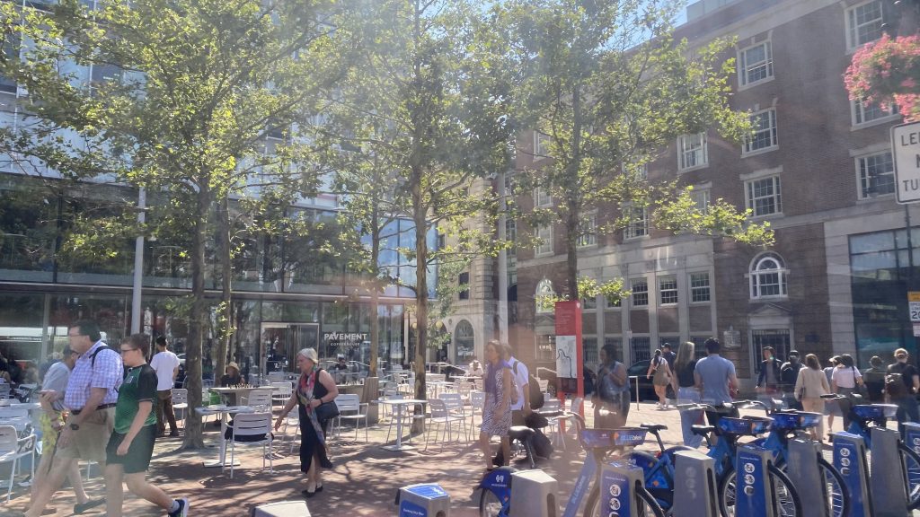
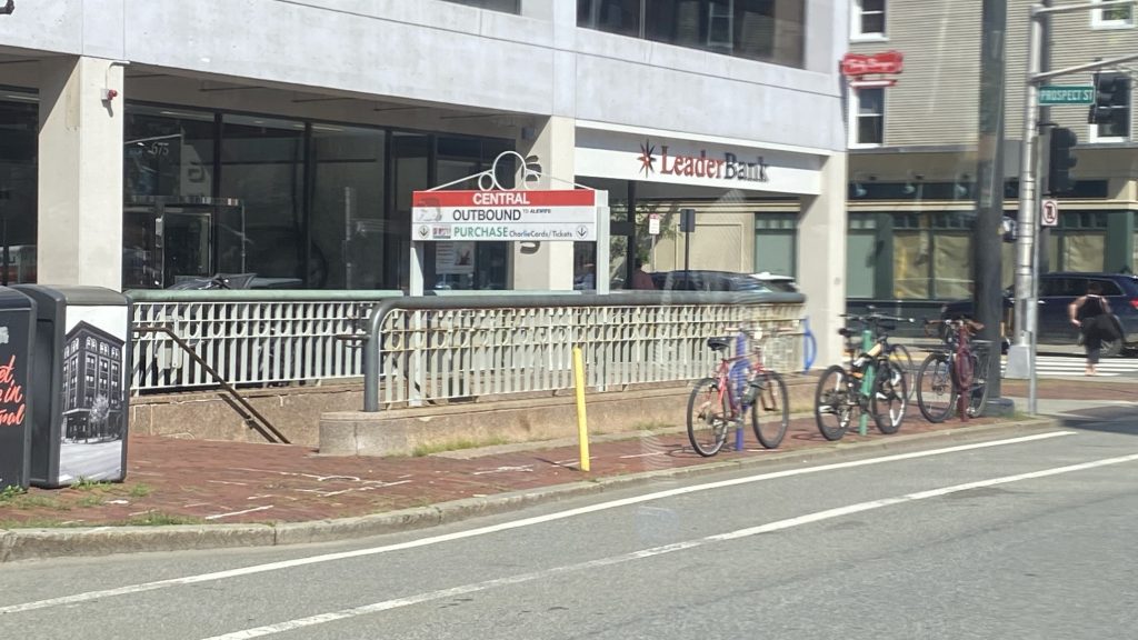
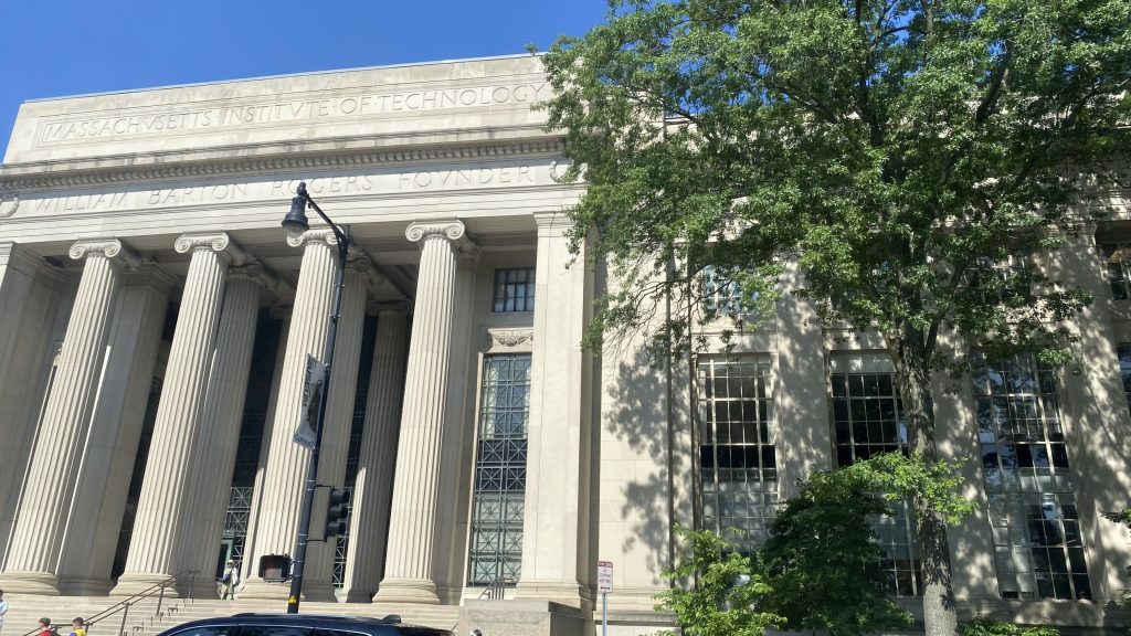
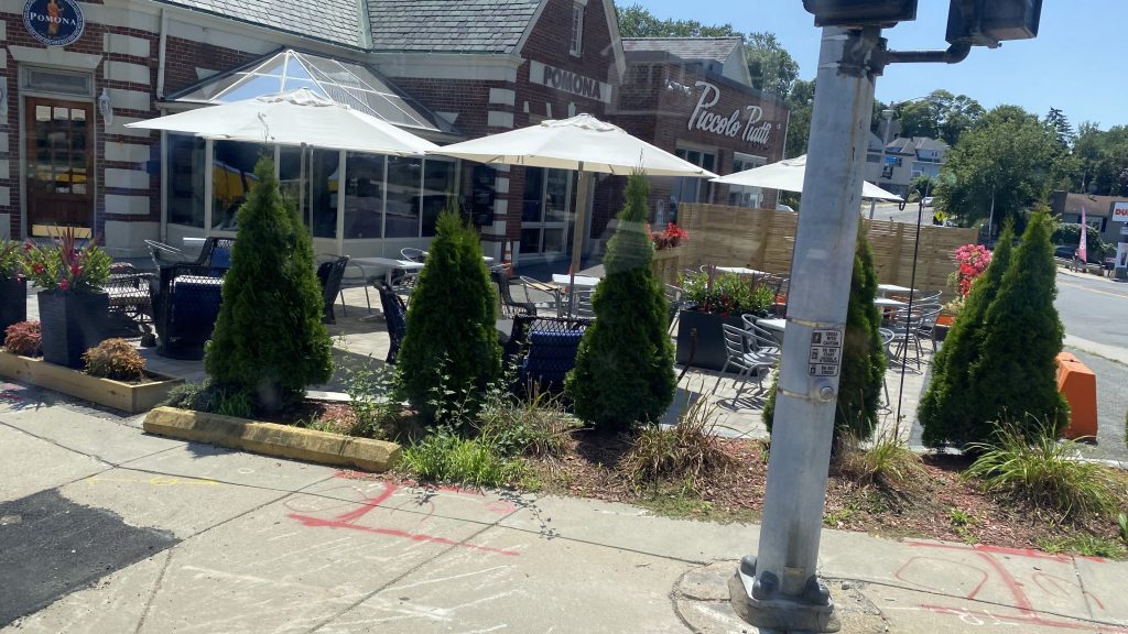
Nearby points of interest: Not a lot. Ben Franklin Institute of Technology exists. There’s the Common and the state house. Tremont Street is lined with businesses too, which I might check out in the future.

Overall, it’s actually pretty decent for a short bus route. For short trips that aren’t end to end, it does the job pretty well. But, if you are going end to end, just take the Orange Line.

Rating: 7.5/10

Rockport (MBTA/CATA)

Alrighty, so today’s Commuter Rail entry is- holy crap, we’re really going to the far end of the Rockport Line?! Yep. It’s Rockport, and for this entry, I have two stowaways: Brooke and her friend Nick. They were planning on coming out here anyways, and I just happened to come along for the Content(TM), so without further ado, here’s Rockport Station.

Helvetica!

Rockport is actually quite small as a terminal station. You have a mini-high, and surprisingly a rather short low-level platform. Yeah, that’s an odd one. But, I’m not surprised given this station’s ridership is primarily seasonal and centered during offpeak/weekend hours. The station’s also pretty unique from a railfanning perspective, as the yard is within the station itself and if you’re there at the right hours, you can see yard moves without needing to trespass. This video from Boston by Rails does a better job explaining it (& layover yard ops in general), and may have partly influenced my choice to go out here.

Some layover tracks
The train and the classic red dot matrix sign – and Brooke!
The inbound end of the platform – and the literal end of the line
Some shops
Wait just a hot minute…
Up close and personal with a GP40MC!
The station’s parking – and Nick!

So, there’s also CATA buses. Where do they board? Well…..

Here.

CATA operates on a flag basis, but from what I can find, they deviate into this property (formerly a Dunkin’, didn’t notice if it’s still one). This is Rockport’s bus connection. THIS DUNKIN’ DONUTS IS A COMMUTER STATION’S BUSWAY, HOLY FUCK!!! And, what routes stop here? Let’s see…

…oh god. CATA is one of those RTAs, who think colors are the best way for naming BUS ROUTES. Now, I’m not gonna go into colors vs. alphanumeric naming convention. Not today. That rant is reserved for when I touch the NYC subway. Anyways.

The good: It’s pretty darn close to downtown, being a short walk or bus ride away. Furthermore, there’s amenities! Benches and a shelter on the mini-high! And wastebaskets! WOOOO!!!!!!! It’s also pretty cool for railfanning, and quite unique.

The bad: It’s kinda tight! And parking is kinda anemic, but c’mon why would you park HERE? Unless, you live in the outskirts of town of course.

Nearby points of interest: Brooke, Nick, and I went to Dairy Train for some ice cream during our 20m layover before heading back to Boston. The town proper is also pretty nice and, based off Street View imagery, gives off some historic Newport (RI) vibes.

Transit connections:
Commuter Rail (Rockport Line)
CATA (Blue, Yellow, Rockport Commuter)

Overall, while it’s not the best, it’s a LOT better than the rest of the stations (at face value) on the line. It certainly has a charm that the others lack, is close to downtown, and is rather unique from a railfanning POV.

Rating: 6.5/10

Swampscott (MBTA)

Charles Baker is the current president of the NCAA and a former governor of Massachusetts. He’s notorious in transit circles for being seen as ruining the MBTA, while in statewide politics he was an electoral juggernaut, having won by huge margins in 2018 despite his party affiliation vs. national trends. Outside his stints in state-level offices, he was a selectman for the town of Swampscott and was involved in the healthcare industry.

Now what the hell does that have anything to do with what I write about? I’ll tell you: he’s from Swampscott!!! If he took the MBTA, he’d probably be a regular user of this station.

That ain’t right!
That DEFINITELY ain’t right!
That’s better!

Swampscott, much like Beverly, is very much not exciting in terms of how it looks. The mini-high, while larger than average, is barren. In fact, the only shelter is halfway up the low-level platform – while boarding only happens on the mini-high offpeak!!! Yeah, that sucks in rainy weather. Furthermore, you don’t have bike racks or a Pedal & Park like at Beverly. Hell, there’s not even a proper departure board, rather just a red dot matrix sign characteristic of most northside stations! Changing sides isn’t also the most accessible thing to do, either. This station is just boring. Yeah, I got nothing else to remark. There’s a shuttle stop on Railroad Avenue, as Lynn Center was under construction as of me writing this.

geep
Looking down the tracks!
That’s it. That’s all the inbound sheltering. Fuck you!
The station house – probably not in use!
This is reassuring: an old red dot matrix sign!
Parking!
It’s giving Cos Cob Lite energy…
F40PH IN DA HOUSE WOOOOOOOO!!!!!!!!!!!!!!!!

The good: It’s in a dense-ish residential area!

The bad: It’s not really in Swampscott. I mean, yeah, technically it is but it’s on the town line. Furthermore, why are the mini-highs unsheltered? And why no departure board? Or bike accomodations?

Nearby points of interest: There’s a couple of restaurants in the area!

Transit connections:
Commuter Rail (Newburyport/Rockport)
MBTA bus (455, at Essex Street)

Overall, it’s kinda boring. Yeah, I got nothing to remark about this place. Sorry!

Rating: 5/10

Beverly (MBTA)

I know, I know, I promised I’d be doing the 43 when I mentioned plans on the Miles in Transit Discord. Yeah, I know. I got derailed from that for reasons (iykyk) and me being mildly impulsive, I instead hopped on the next train going down the Eastern Route. Which, of course, led me to Beverly! So, how is it?

Bye!!!!!

So, they let us off in the low level section of the platform, which is really odd. But, whatever. At face value it seems a little barren, but passable. Benches, sheltered areas, departure boards, and three grade crossings to change sides. There’s also plenty of parking, and even a parking garage. Did I mention the neighborhood map, like what’s at West Natick? Neat! And, there’s a nice-looking station house used as a restaurant! Furthermore there’s a mini hi- OH MY GOD.

This is kinda old, with the “OUTBOUND TO IPSWICH/ROCKPORT” text
The station house!
Looking towards the junction!
Grade crossings!
Oh yeah, the 451 doesn’t stop here but the Beverly Local Bus does!
Park! Apparently that’s a post office back there, too!
Water over yonder!
More parking?
More parking.
Closer up shot of the junction!

OH MY GOD, THE MINI-HIGHS! I know I usually don’t comment on the quality of the mini-highs but this is EGREGIOUSLY BAD. WHY IS IT FALLING APART?! WHO LET THIS ROT?! WHY?! WHY IS THIS STATION NOT GETTING A FULL REBUILD, MANSFIELD STYLE!? BETTER YET, WHY IS THIS, ARGUABLY ONE OF THE MOST IMPORTANT STATIONS ON THE ENTIRE LINE, RELEGATED TO A SORRY MINI-HIGH THAT’S EVEN MORE SORRY THAN THE VILES STREET GRADE CROSSING?! WHAT THE FUCK HAPPENED?! REBAR SHOULDN’T BE VISIBLE!!!

Oh no
OH MY GOD

The good: It’s an important station, being the terminus of the “Environmental Justice Corridor” (as some call it). There’s departure boards, ample parking, a Pedal & Park as well! It’s walkable too! And TOD? CATA stops here too!

The bad: THOSE MINI-HIGHS ARE BAD! FURTHERMORE, THERE’S NO SHELTER BEYOND THERE, AND FOR A STATION AS IMPORTANT AS BEVERLY, WHY IS THERE NO TICKETING MACHINE AND WHY IS IT NOT FULL-LENGTH HIGHS?!

Nearby points of interest: There’s a few breweries! How about a few beaches?

Transit connections:
Commuter Rail (Newburyport, Rockport)
CATA (Beverly Local Bus, Beverly Commuter)

Overall, NO, NO NO JUST NO PLEASE GOD NO GET RID OF THAT MINI-HIGH, SOMEONE’S GONNA GET TETANUS FROM IT!

Rating: 4.5/10

11 (Downtown Crossing/Broadway/City Point)

The 11 is one of Downtown Crossing’s handful of bus connections, and it runs all the way into South Boston. Riding this was my first time in Southie proper. So, let’s take a look, shall we?

Boston’s urban core…

So, starting off, the 11 originates at the intersection of Chauncy and Summer Streets in the heart of downtown. Which, this section already leads to some weirdness. The 11 heading out runs via South Station and the Seaport, while into DTX it runs via Washington Street, with Broadway being where the one-way nonsense starts/ends. Speaking of which, once it reaches Broadway, it runs down West 7th Street through some very residential and quiet neighborhoods. Eventually, it reaches 8th Street, where the bulk of the ridership got off, before looping up by the area’s beaches and into the City Point bus terminal.

CVS?!
Oh look, Starbucks!
South Station has a BUS CONNECTION!?
Crossing the Fort Point Channel
development
I spy Gillette…
Broadway!
eww, car dependency
Apartments
Oh god, more car dependency!
OH DEAR
Construction!
OH LAWD!
OCEAN!!!!!!
PAHK!
Entering: City Point Bus Terminal!

The good: It serves the southern part of South Boston, which is otherwise unserved! Weekday and Saturday headways are also good!

The bad: Really? Why the loop? Is it the one-way streets downtown? Also, almost-hourly headways on Sundays? Really?

Nearby points of interest: Washington Street, South Station, Broadway, Downtown, and various parks and beaches in South Boston!

Overall, it’s alright. I don’t have too much to add out of unfamiliarity with the area.

Rating: 7/10

9 (Copley Sq./S. Boston/City Point)

Oh, City Point, how there be seemingly nothing major around it to be worth sticking around (as of me writing this). So, after going there, I was hoping to take the 7 back to Downtown Crossing, but that wasn’t going to happen given its headways, and the 9 was next. So, onwards to Copley Square I go!

Onwards!

So, the 9 goes down P Street and East Broadway. At this point, a few people start getting on the bus and it gets a little full, and from here we continue passing by the many shops lining the road. Eventually, a young lady calls out a guy for taking pics of her, with him denying. “What a creep.” I thought to myself, as I give him the death glare. Soon enough, we turn onto West Broadway, and eventually pull into the Broadway Red Line station. And from here, the route gets a little weird. You see, runs towards City Point go via Herald Street and straight past Broadway, while runs towards Copley have to do a loop to safely serve the station before proceeding up East Berkeley Street. After a bit further, as we crawl through the South End and into Back Bay, we eventually reach and loop around Copley Square, terminating at the Dartmouth Street bus stop outside the Boston Public Library.

What a cute little market.
San Francisco lite?
Density!
D Street!
Apartments!
Southampton bus yard!
Broadway Station. Red Line and bus connection.
NOT IN SERVICE?!
Washington Street?!
Looks fancy-ish!
One way!
Welcome to Copley Square!

The good: It’s an important connection between South Boston and Copley Square, as well as the Red Line and Green Line! Headways and service span are also pretty decent as well!

The bad: It’s annoying how the bus goes down separate roads. The loop is also annoying but it exists for safety reasons.

Nearby points of interest: A few parks in South Boston, Copley Square, and the subway connections. Southampton, if you’re a railfan.

Overall, while I can’t think of any reason for myself to visit South Boston, the route definitely has its uses and gets quite a bit of ridership, given the areas it serve are well populated.

Rating: 8/10

City Point (MBTA)

Alrighty, new territory time! This time, we’re in South Boston at City Point. So, what’s here? Uhhhhh…

It looks like a nice area

Actually, there’s not much here. Just some facilities for buses to dwell and other MBTA-related maintenance facilities it looks like. Yeah, I actually don’t have much to remark other than that it seems like a nice enough neighborhood. You got bus shelters!

Shelters and buses!
I don’t think I’m supposed to be here…

The good: It’s in South Boston!

The bad: Eh, it doesn’t feel like the best of places to wait. The only thing keeping this from being lower is that it’s not signed as a proper rapid transit station (nor is it one). Still, it doesn’t seem like the kind of place I’d want to wait for extended periods of time.

Nearby points of interest: There’s a few beaches!

Transit connections:
MBTA bus (7, 9, 10, 11)

Overall, yeah, got nothing to remark about here.

Rating: 3/10

1 (Massachusetts Ave./Harvard/Nubian)

Alrighty, the granddad of the MBTA bus network, and quite possibly one of the highest-ridership buses! So, let’s get into it. The routing for this bus is pretty simple: a straight shot down Massachusetts Avenue from Harvard to Nubian Square. In the process, intersecting with all the lines except the Blue. So, here we go.

Onwards!

Turning down Mt. Auburn Street, it quickly became Massachusetts Avenue, and at this hour there was a lot of traffic. One thing this route is notorious for is bunching. I think my bus was a good 10 minutes or so behind schedule too, so there’s that. As we passed down Massachusetts Avenue slowly, there were a number of businesses and places of interest, and eventually we crossed the Grand Junction after passing Central Square. By this point, the bus was PACKED, like, less than standing room packed. Fortunately, after crossing the Harvard Bridge, this didn’t last too terribly long (but felt like an eternity) as we started hitting all the rapid transit connections in quick succession: Hynes for the B/C/D branches, Symphony and the Christian Science HQ for the E branch, Mass. Ave. for the Orange, and again for the Silver. We’d go under the Boston Medical Center, turn down Albany Street, and meet with the Silver Line again at Nubian, ending the route.

Some Harvard stuff?
Yep. Here we go.
…housing? Probably not, though.
Cambridge City Hall!
Choose wisely! Also, that sign looks outdated!
Some more stuff.
The grandest of junctions!
MIT?!
Oh, right, I’m gonna have to ride you at some point, EZRide.
The view from the Harvard Bridge! And, I do believe that’s the Longfellow in the distance!
Some old-style houses!
Hynes!
Christian science.
Horiculture?!
The Orange Line!
More row housing.
Silver Line!
Boston Medical Center!
Albany Street!
Welcome to Nubian!
Nubian Station!

The good: It’s a straight shot from Harvard, hitting all the rapid transit lines (except the Blue). Furthermore, it’s quite frequent! However…

The bad: WHY IS IT USING ONLY FOURTY FOOT BUSES?! THESE DAMN THINGS GET TO CRUSH LOAD EASILY DURING PEAK HOURS. FURTHERMORE, THERE’S NO SEMBLANCE OF TRANSIT PRIORITY WHATSOEVER! LIKE PLEASE, CAMBRIDGE! PLEASE, BOSTON! PUT MEDIAN-RUNNING BUS LANES ON MASSACHUSETTS AVENUE!!!! BETTER YET, THIS ROUTE IS THE KIND OF ROUTE THAT SHOULD BE PART OF A NON-DOWNTOWN CENTRIC RAPID TRANSIT LINE! LIKE PLEASE, JUST PLEASE!!! PUT THE 1 OUT OF IT’S CRUSH-LOAD MISERY!!!!!

Nearby points of interest: There’s some interesting businesses in Central Square and in Back Bay!

Overall, this route is a case of something that’s out-grown its original purpose. While buses are fine, this route is a poor use of them and where a subway line would do miles better.

Rating: 8/10

69 (Harvard/Lechmere/Cambridge St.)

Now, with the route being numbered 69, I’m sure some people might be expecting a few sexual references littered throughout this post. However, due to various rules and regulations surrounding rating systems, I’m keeping this blog at an R rating max, and not NC17. Sorry! And, even then, the R rating primarily pertains to the excessive cursing from my sailor mouth, not an abundance of references to drugs, sex, or anything else that could bump the rating to NC17. With that in mind, here’s the 69. (hehe, nice…) Service, to Harvard, from Lechmere.

Hehe, nice….

So, the funny sex bus numbered route 69 runs between Lechmere and Harvard in a straight line down Cambridge Street. In terms of how it is, it’s pretty tame, with the occasional business. Let’s see, you have REI, CVS, various restaurants, and even the grandest of junctions! YES, you can get off and railfan the Grand Junction if you time it right! However, Kendall Square is typically regarded as the better location. Crossing the tracks, it’s much of the same, we pass through Inman Square, and eventually we pull into Harvard. Weirdly enough, this route doesn’t terminate in the busway but rather on the street.

The GLX busway experience!
Bye, Leechmere!
A small amount of parking
Outdoor dining?
MY GRADE CROSSING IS BETTER THAN YOURS!
Housing!
Bom Dough! Also, welcome to Inman Square!
Cambridge Hospital!
The Cambridge House!
HAHVAHD!
HAAAAAAAAAAAHVAHD!
ROUTE SIXTY NINE SERVICE TO LEECHMERE!

The good: It’s a straight shot to Lechmere and Harvard, serving Inman Square! Headways are also pretty good, being every 10-20 minutes! It’s also usually a quick shot between the two stations.

The bad: Eh, nighttime and Sunday headways can be kinda bad, and crowding can be a concern…

Nearby points of interest: Harvard Square and the various businesses lining Cambridge Street.

Overall, it’s a quick ride. Not a lot to say about it, short and direct.

Rating: 7/10

712 & 713 (Winthrop/Point Shirley)

Paul Revere was an American Revolutionary war hero, famous for his “THE REDCOATS ARE COMING!” alert and midnight run going into the Battles of Lexington and Concord. He was also a well-known smith and a member of the Sons of Liberty, a loosely organized and oftentimes violent political organization during the American colonial era. So….


What the HELL does that have anything to do with what I write about here? Well, I’ll tell you what: There’s a bus company bearing his name! Furthermore, they operate the 712 and 713 in Winthrop! So, let’s look at this weird route.

Bye, Orient Heights!

So, while the 120 boards in the Bennington Street busway, the 712 and 713 board on the Saratoga Street busway (on the outbound side of the Blue Line tracks). Kinda odd, but oh well. From here, the two routes continue on straight into Winthrop and, soon enough, split at Walden Street. In essence, each bus does a loop around the town, with the 712 going up Revere Street and Shirley Street, and the 713 going down Walden and Pauline Streets, and Washington Avenue. Several runs (including the 712 I was on) terminate at the intersection of Washington and Shirley, while a number of runs of both routes continue down to Point Shirley. As for the areas, it’s all residential and small town stuff with a few beaches and the Winthrop Ferry terminal- wait, what?!

CAN YOU SEE THE SEA?!
Water!
Laundromat!
A lot of residential stuff here!
Gulf.
Fancy!
Eh, I was on the wrong side of the bus. 🙁
Apartments?!
I changed buses here.

YOU MEAN TO TELL ME, THERE’S A FERRY TERMINAL BY POINT SHIRLEY AND I NEED TO REVIEW IT?! GOD-FUCKING-DAMMIT! AAAAAAAAAAAAAAAAAAAAAAA WHY DO THESE KEEP CROPPING UP ON ME?!

*inhales*

Okay, Chelsea, you’ll be fine. It’s just an extra ferry terminal…..or, three, AS THERE’S ONE AT THE SEAPORT AND QUINCY! Ugh….

This time, I sat on the right side!
More single family housing
woooooooo
Looks kinda elevated!
AND A SPECIAL FUCK YOU GOES TO THIS DRIVER WHO JUST TRIED TO FUCKING COCKBLOCK MY BUS BY TRYING TO GET AROUND ANOTHER BUS!
park
Bye!

The good: It serves Winthrop pretty thoroughly, is REALLY frequent (about every few minutes during peak hours, and every 15-20 offpeak on weekdays, with every 45 minutes on Saturdays and 40 on Sundays?!) Now, mind you, this is the shared bits of the route. Those headways suck on the (admittedly short) independent sections on weekends, but that could also be me misinterpreting the timetable. But again, I have to say, for a suburban route, the weekday service is REALLY good. Did I mention the span of service too? Last bus departs at 1:10 or whenever the last train departs Orient Heights on weekdays and Saturdays, with service starting at 5 AM. Sunday service starts at 6-7AM, so it isn’t as good, but still with the 1:10 AM last run. Now, I don’t know if this is the doing of the MBTA or Paul Revere, but holy CRAP this is good!

The bad: The independent sections’ headways can kinda suck on weekends.

Nearby points of interest: Orient Heights (the station) and the entire town of Winthrop. Seriously, I need to check out this town more in the future! Also, Point Shirley seems cool based on street view data!

Overall, I really like this route, and I like the town of Winthrop enough to want to return. This route is a golden child of an MBTA bus done right, in spite of being operated by Paul Revere Transportation. Certainly, a lot better than the 114.

Rating: 10/10