3 (Oakland Beach/Warwick Ave.)

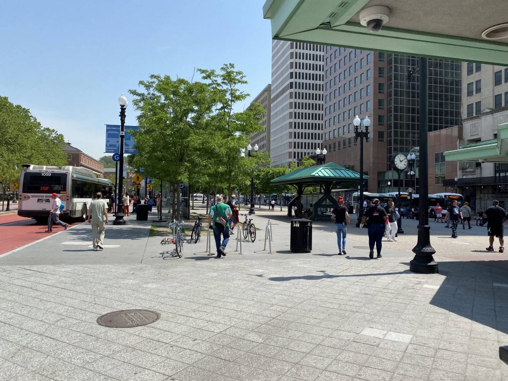
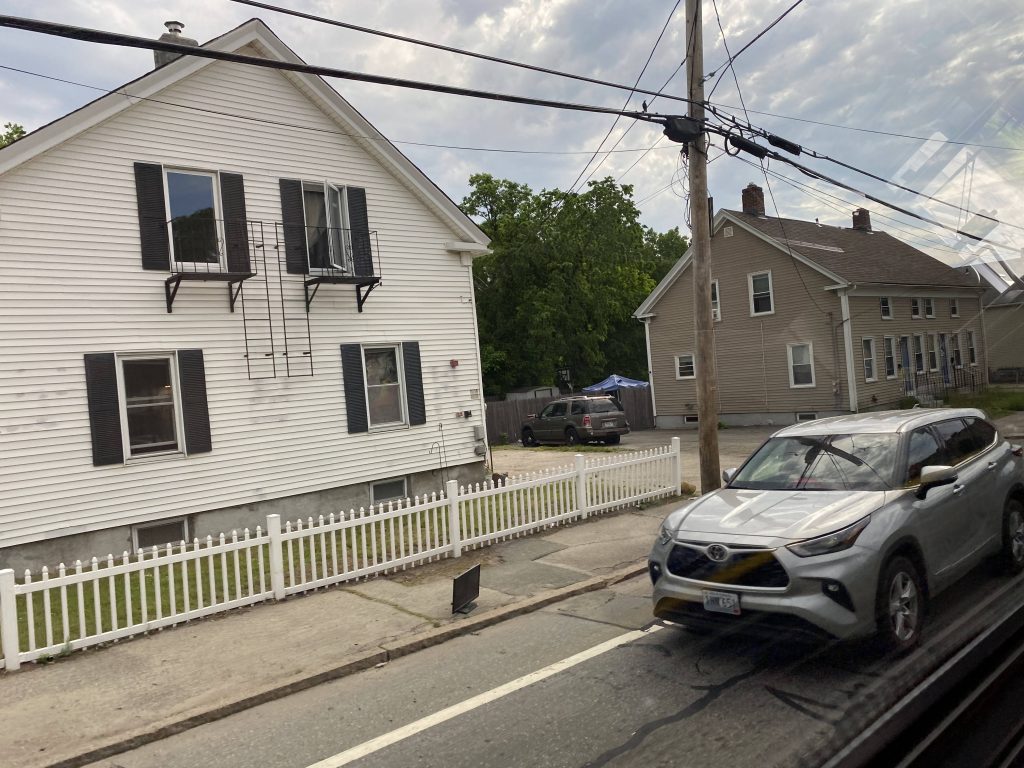
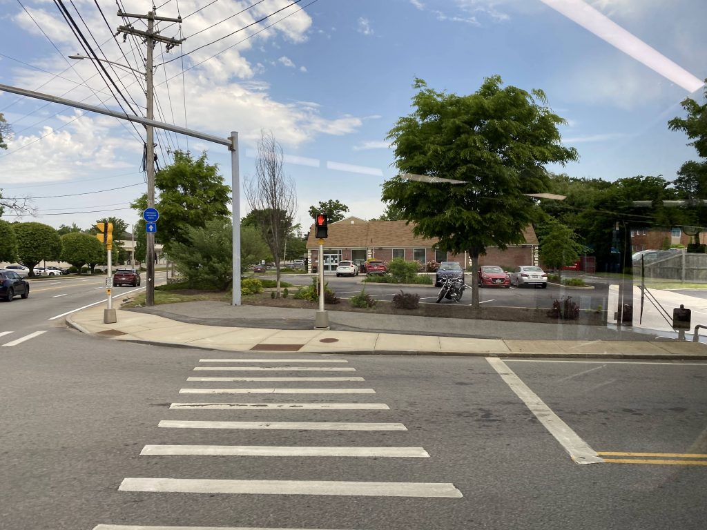
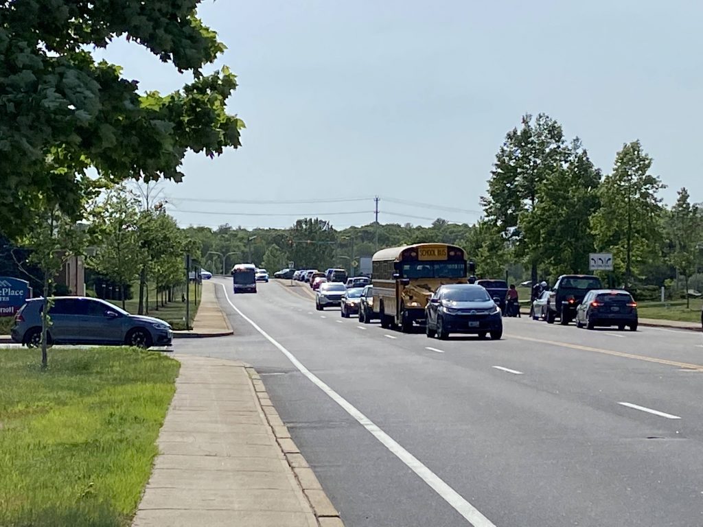
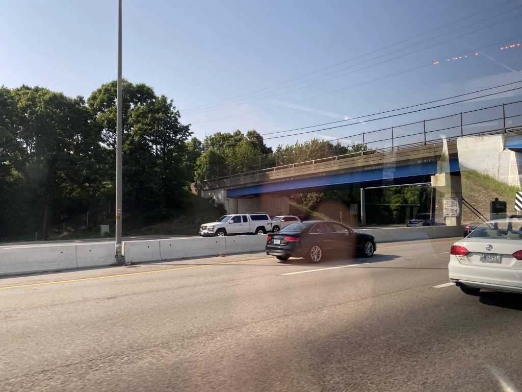
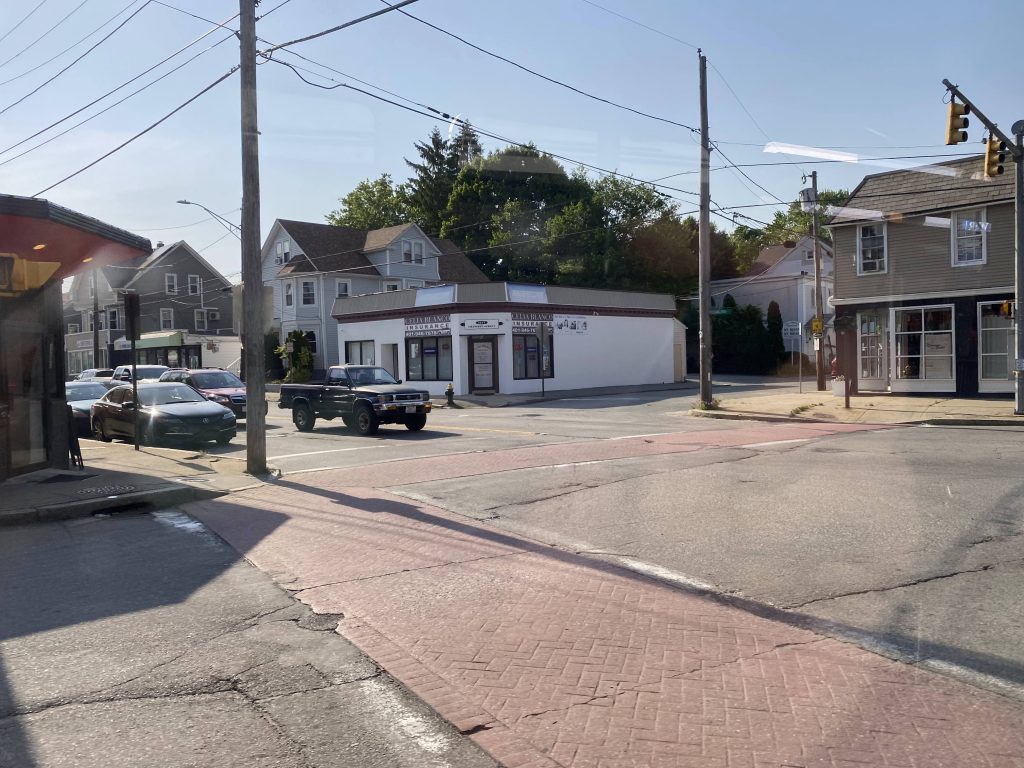
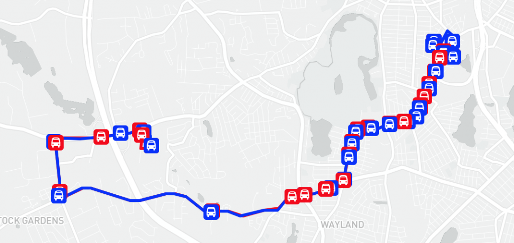
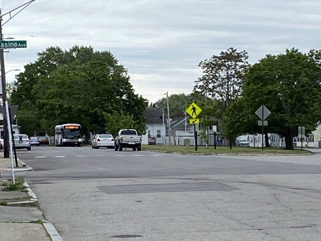
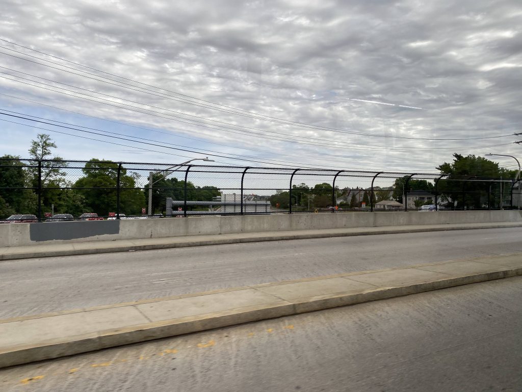
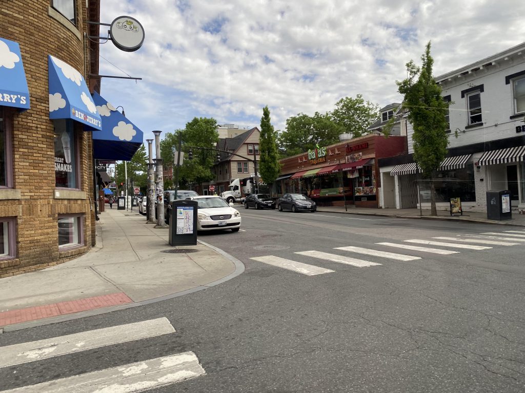
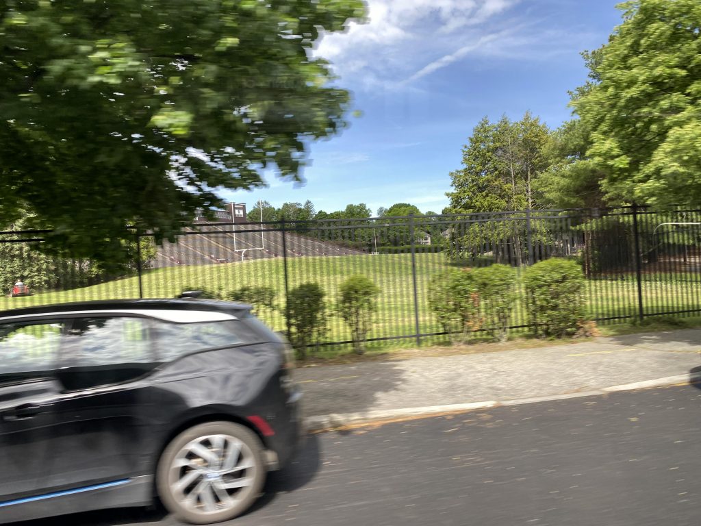
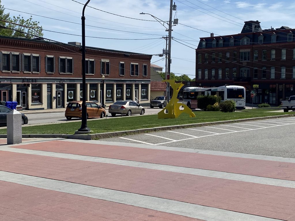
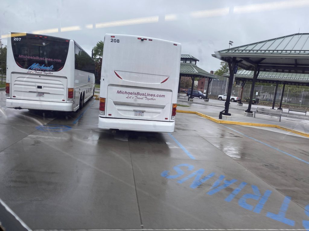
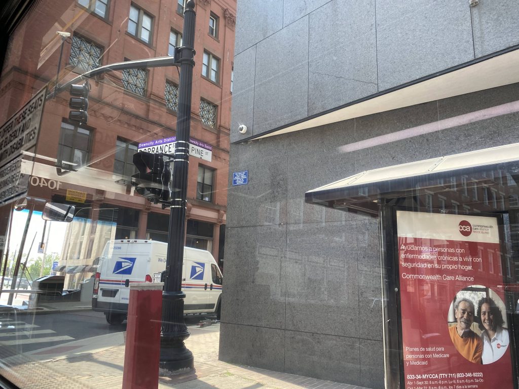
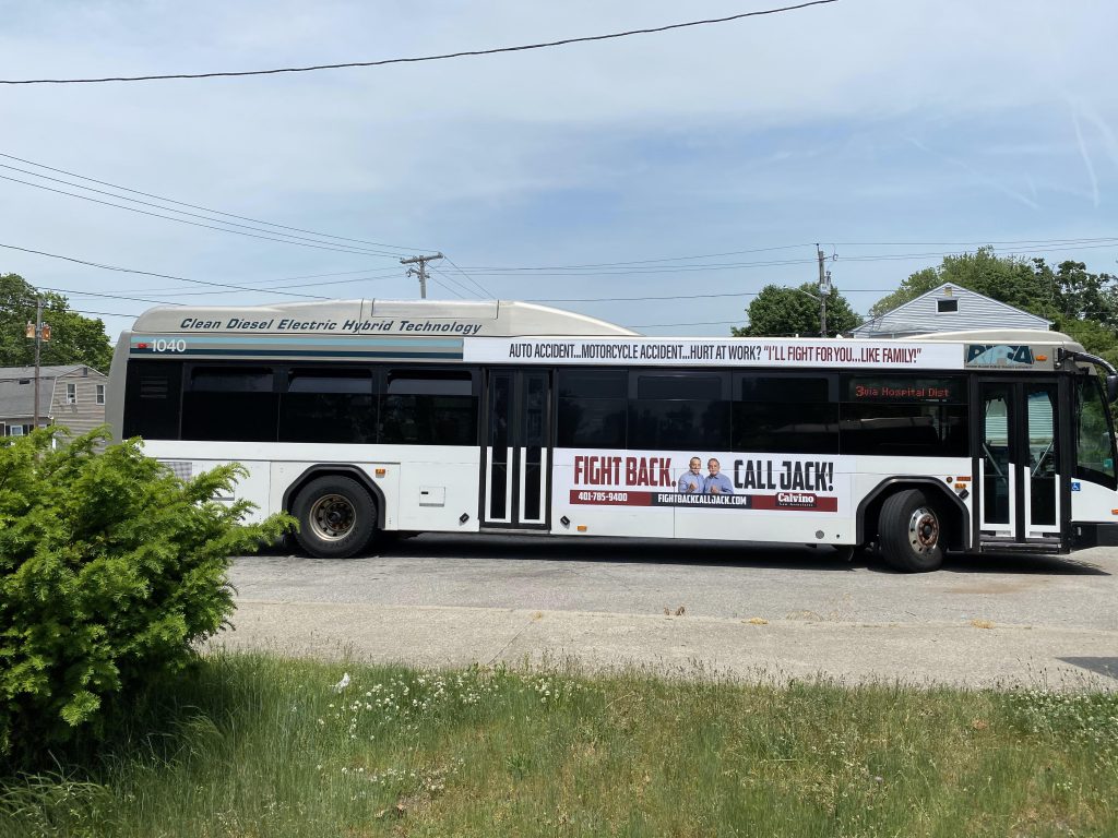
Alright, the first of the two evil twins of RIPTA. Now, this one is more tame than the other route, which in this case is the 4. Now, I consider them evil twins because they both used to be just simply, the 3. 3A was Oakland Beach, and 3B was Warwick Neck. (EDIT: I got these mixed up: the 3A went to Warwick Neck, and the 3B to Oakland Beach. Thanks, commenter, for letting me know about this!) Today, we’ll be looking at Oakland Beach. While both routes officially start at Providence Station, I’ll be boarding the 3 at Kennedy Plaza. The route begins by going down Dorrance and Dyer Streets, as part of the Downtown Transit Connector. Now, unlike the 1, we do NOT deviate into RI Hospital.

Big Brother is watching!
We’d deviate here if it was the 1.
Welcome to Hell

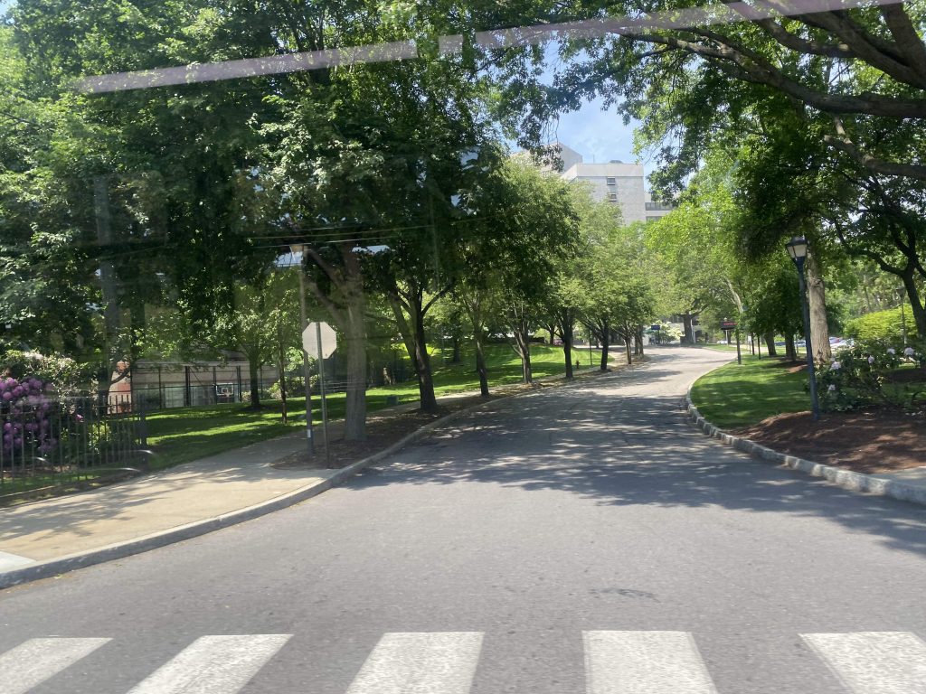
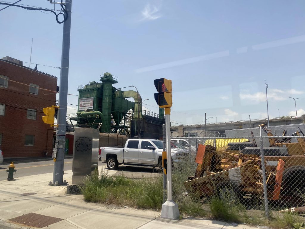
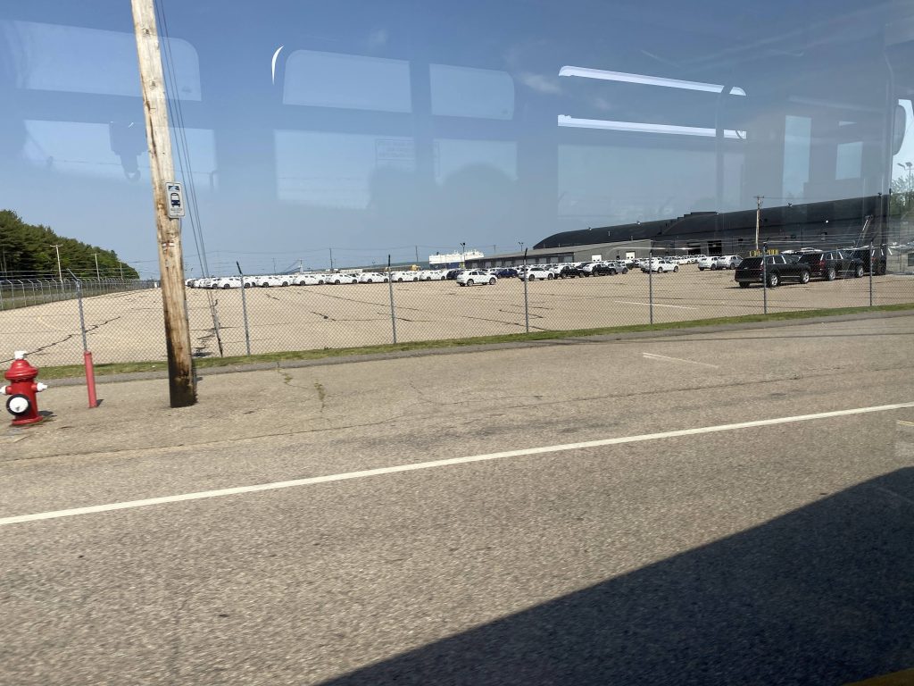
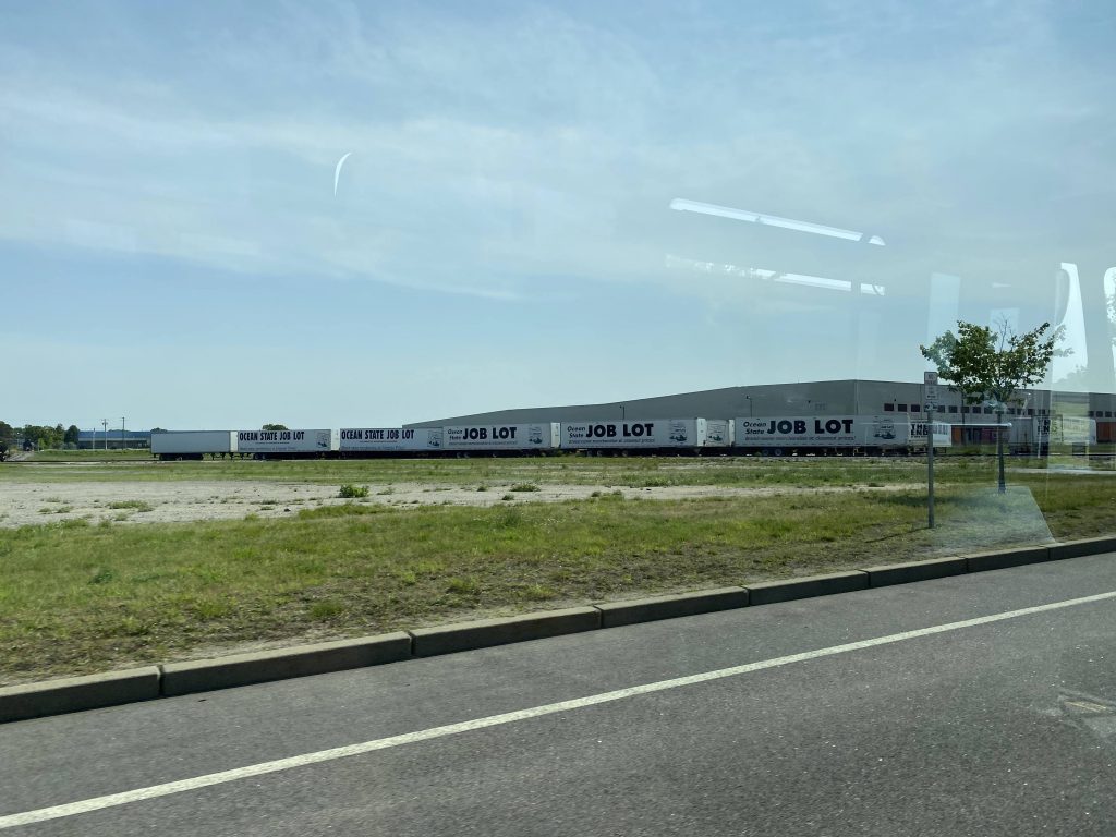
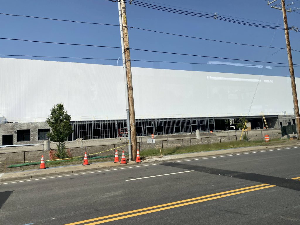
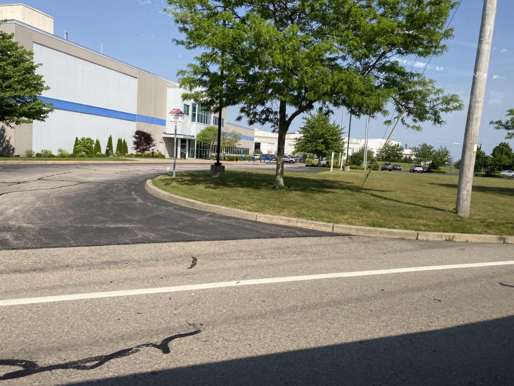
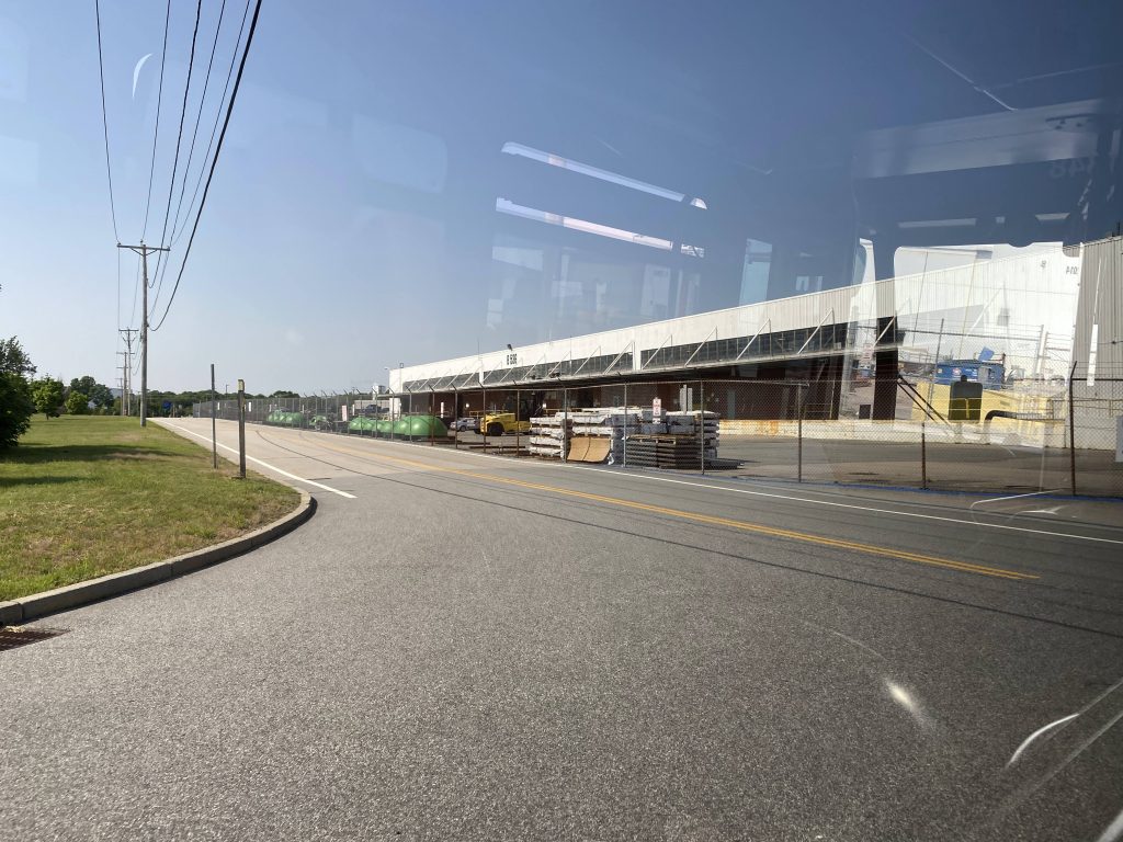
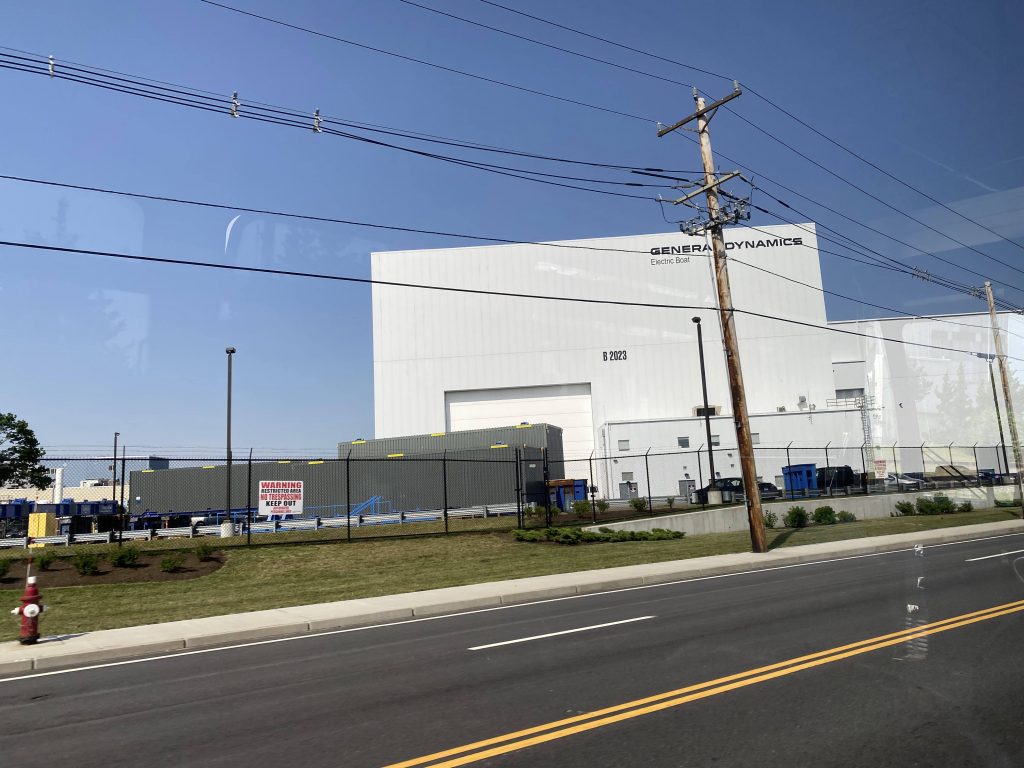
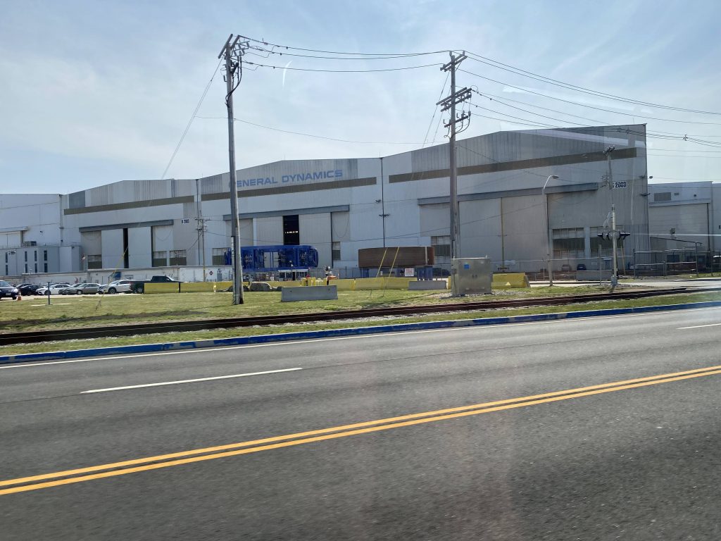
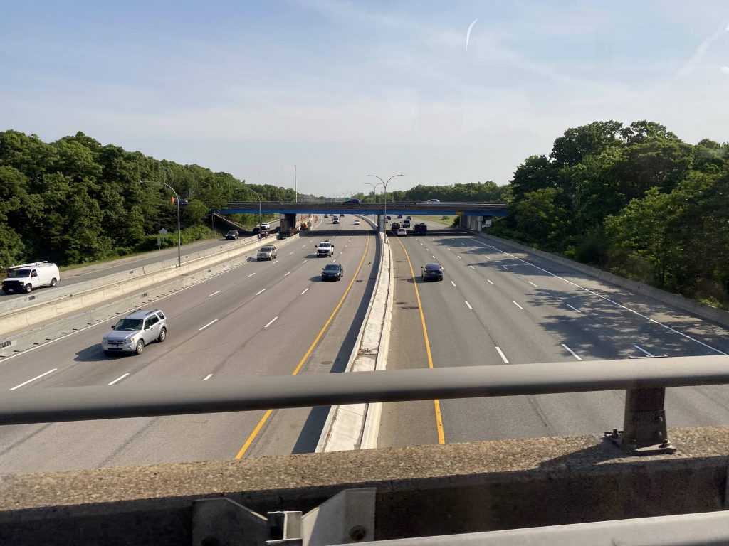
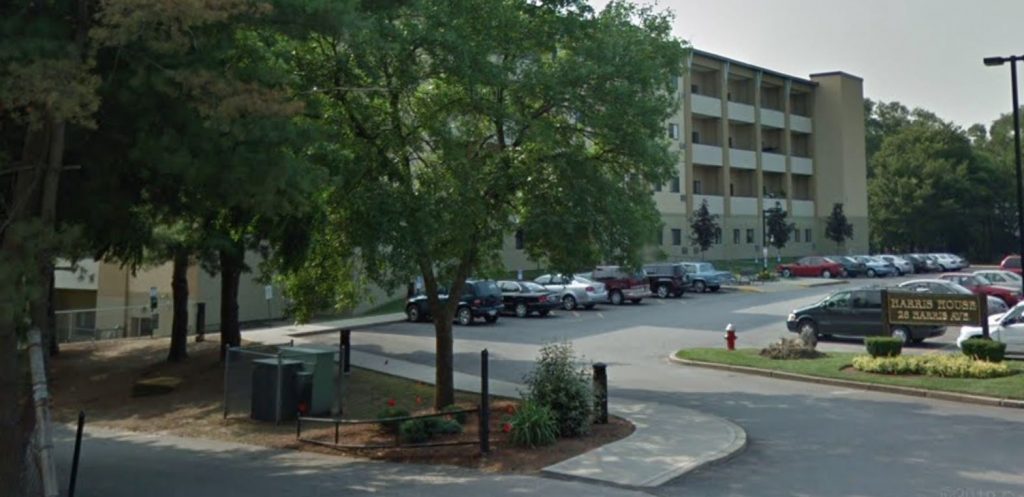
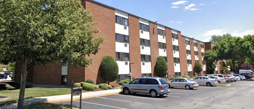
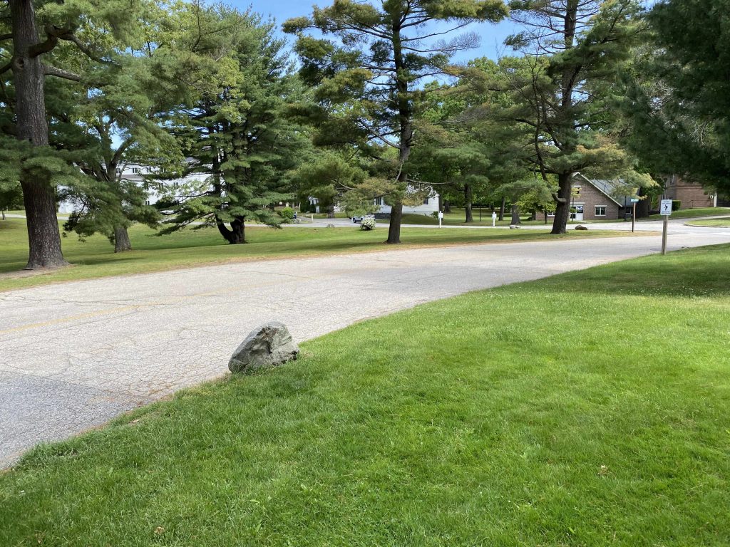
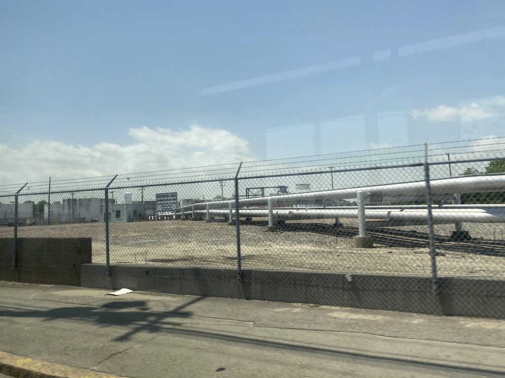
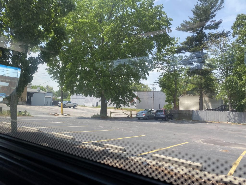
Soon enough, we turned onto Allens Ave. and OH BOY did things change drastically. Rather than being in a slightly lesser than favorable neighborhood, we’re in a literal industrial wasteland. Going through here, one can see a bajillion railroad tracks, some of which are in use, hence the barriers. I’ve never seen the barriers down over here, though. There is a good reason, though, as down the side streets towards the water is the Port of Providence. Soon enough, we were in a much more residential neighborhood, even passing by Johnson & Wale’s Harborside campus!

Industrial wastelands
One of the side streets by JWU
Warwick Ave.!

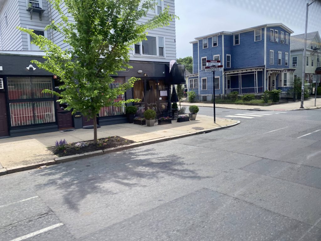
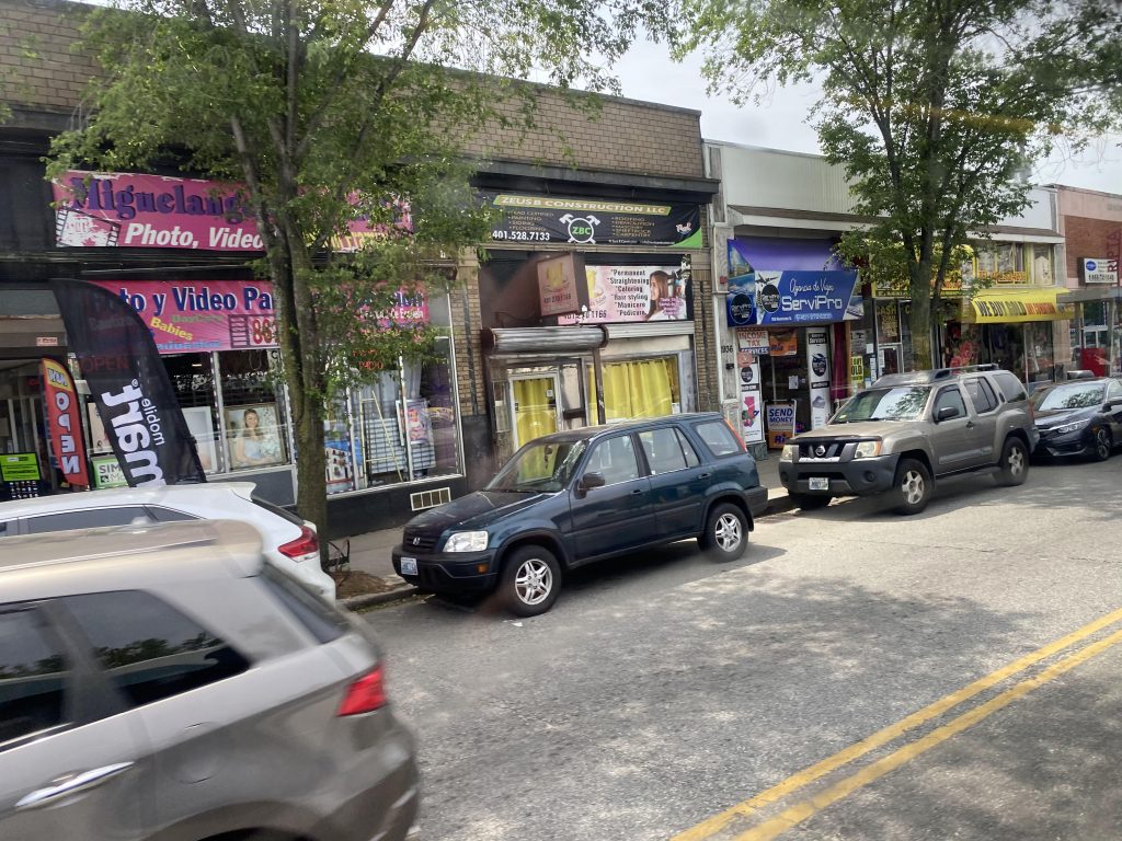
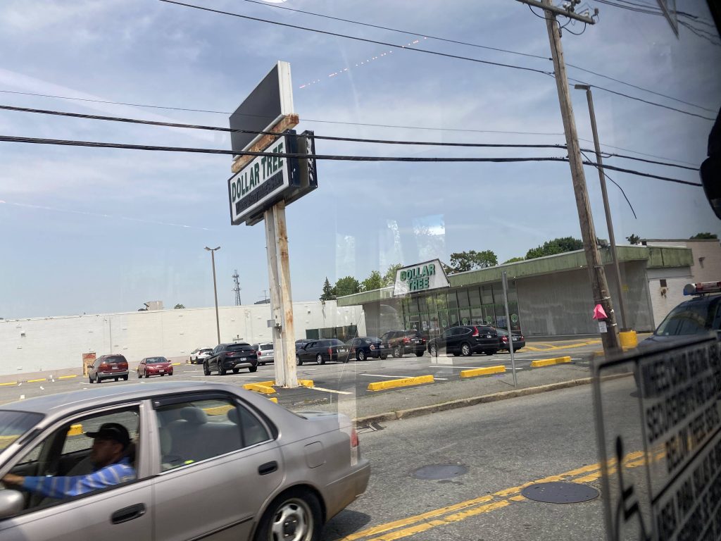
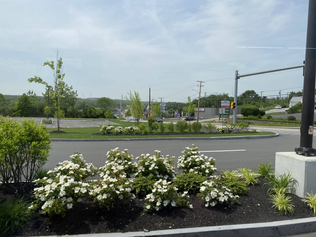
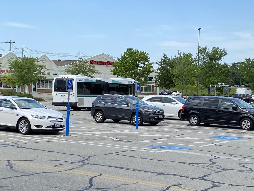
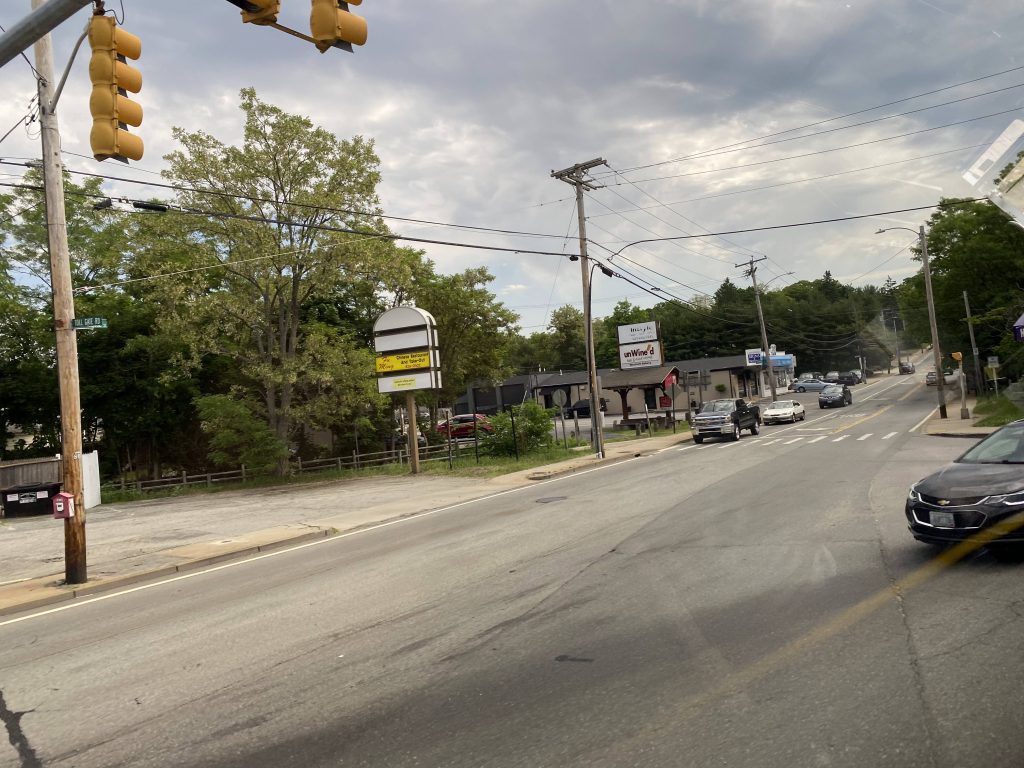
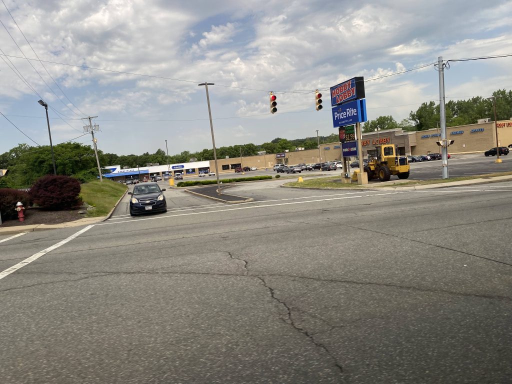
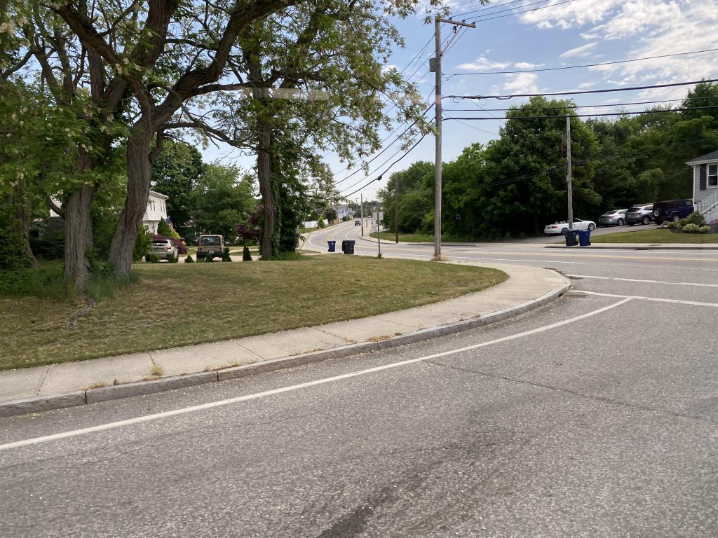
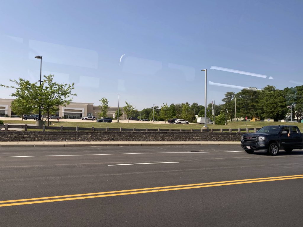
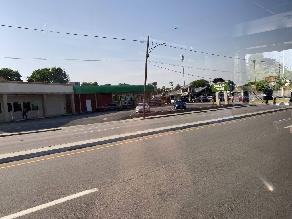
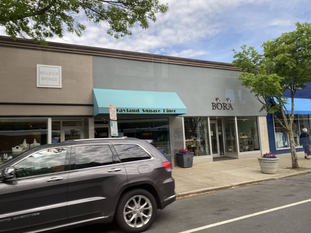
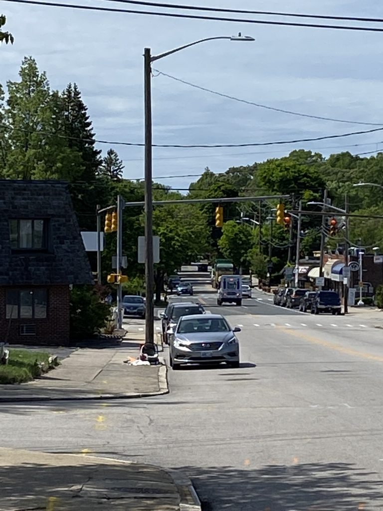
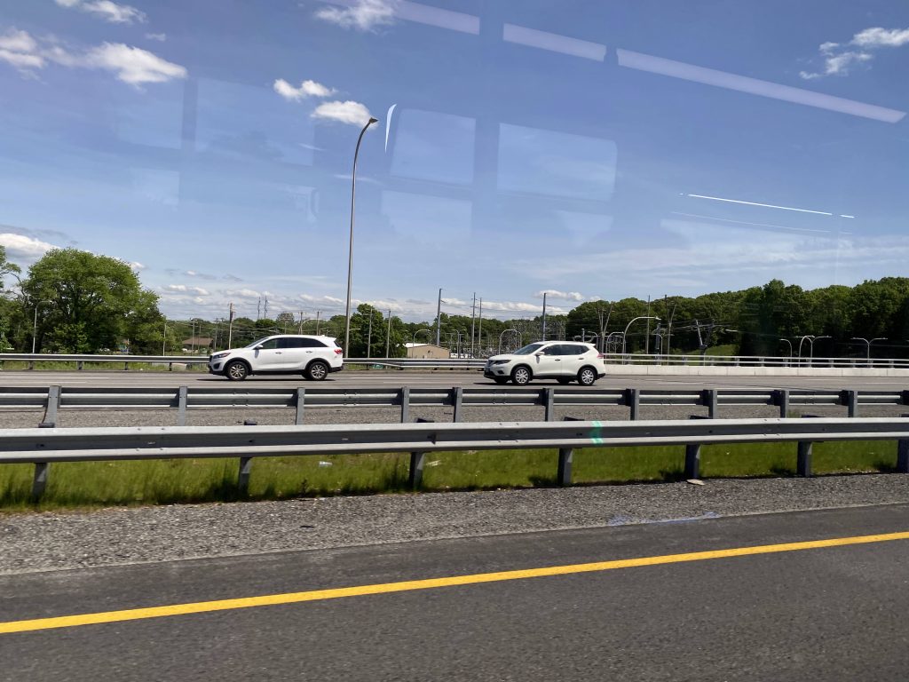
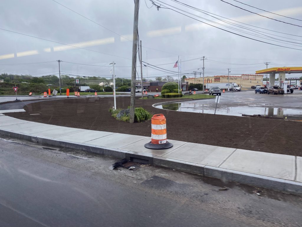
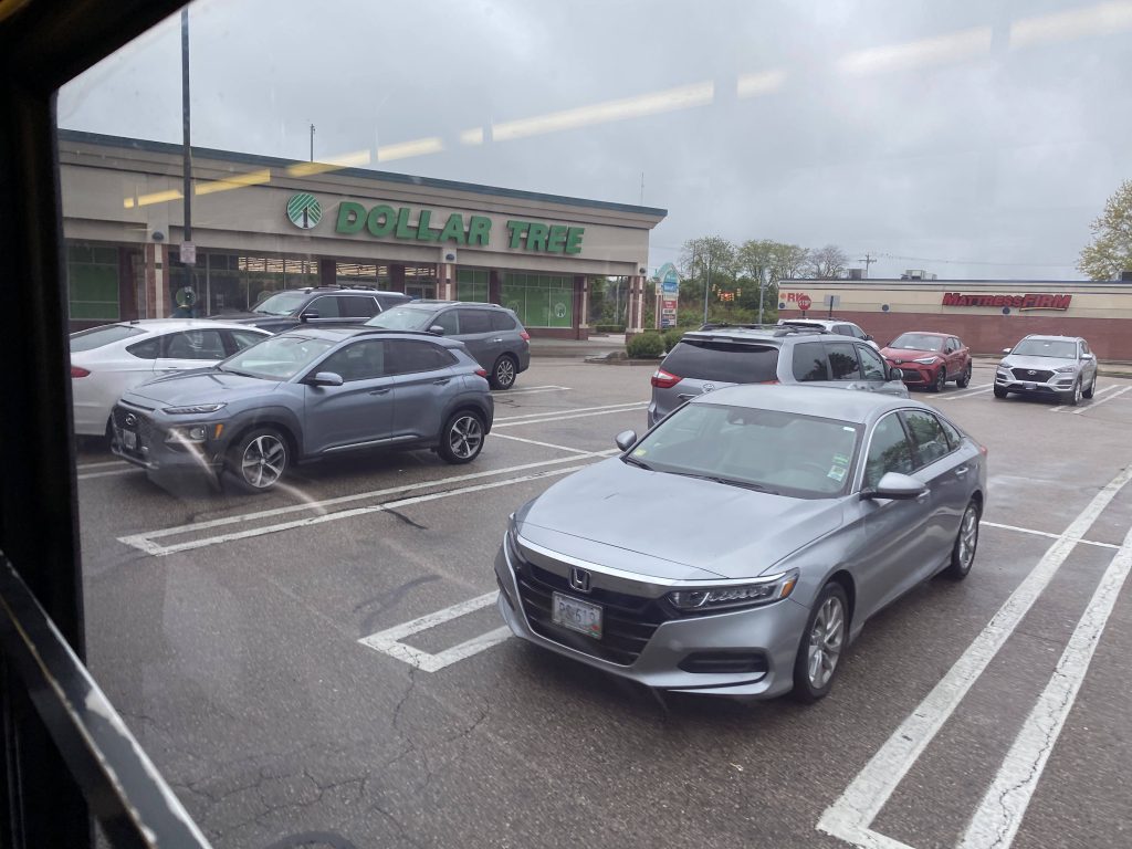
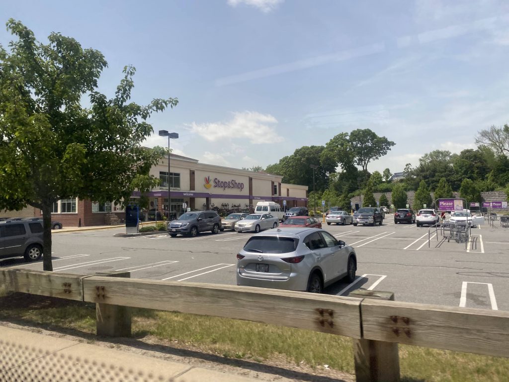
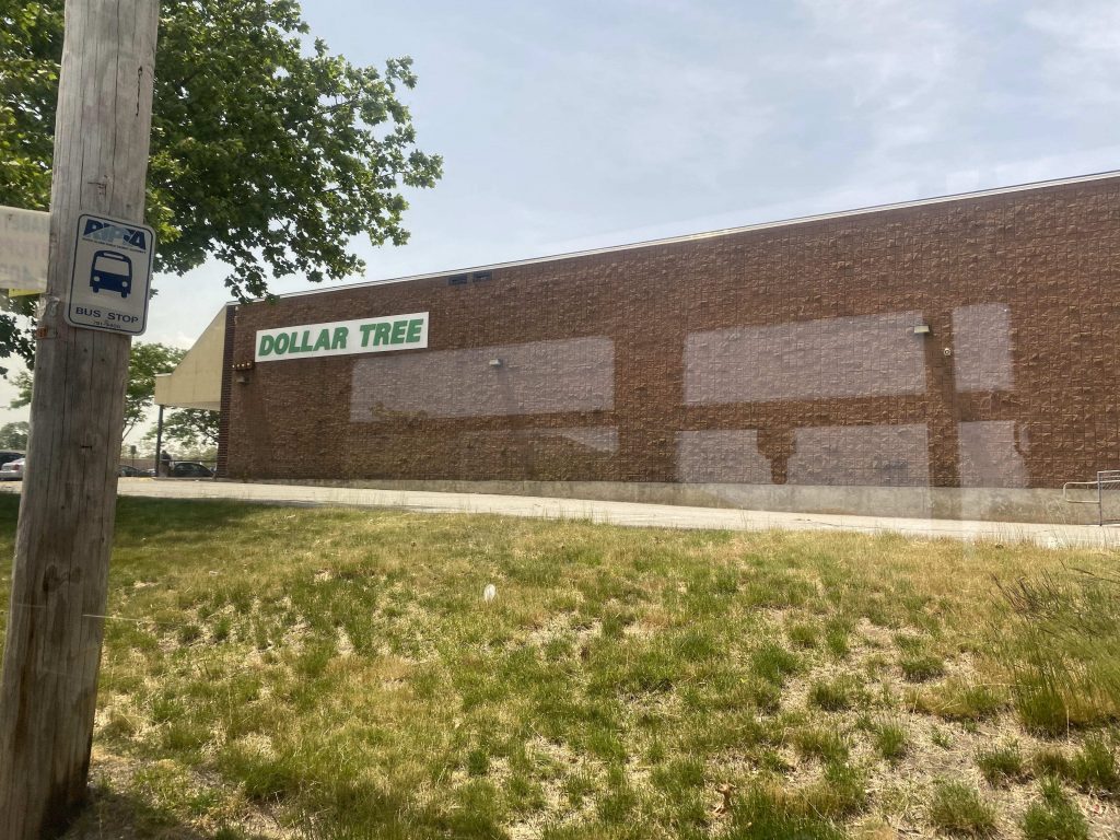
We took a right down Norwood Ave., and slighted left onto Warwick Ave. Soon enough, after passing Stop & Shop, we were in Warwick. Since this wasn’t a South Attleboro 1 trip, we didn’t deviate into Shaw’s. However, we went straight, passing Post Road, a Dollar Tree, and CVS.

Stop & Shop
Parking lot for a local bar
Look, a Dollar Tree!

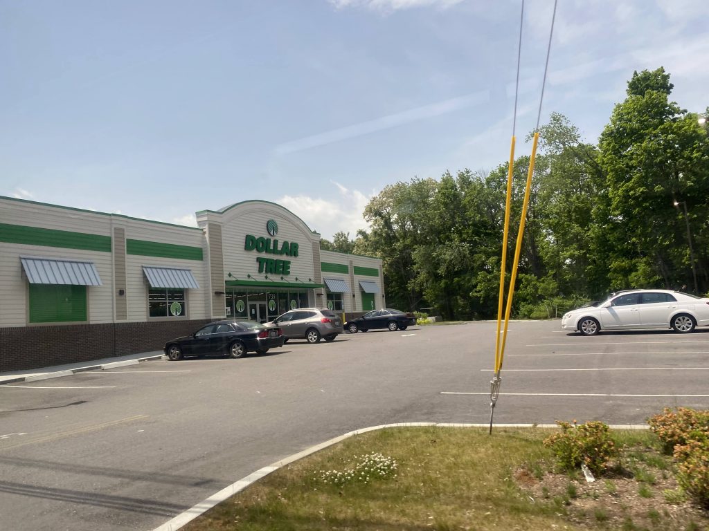
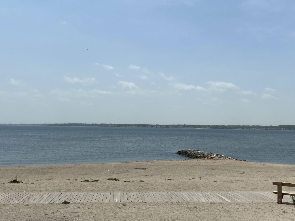
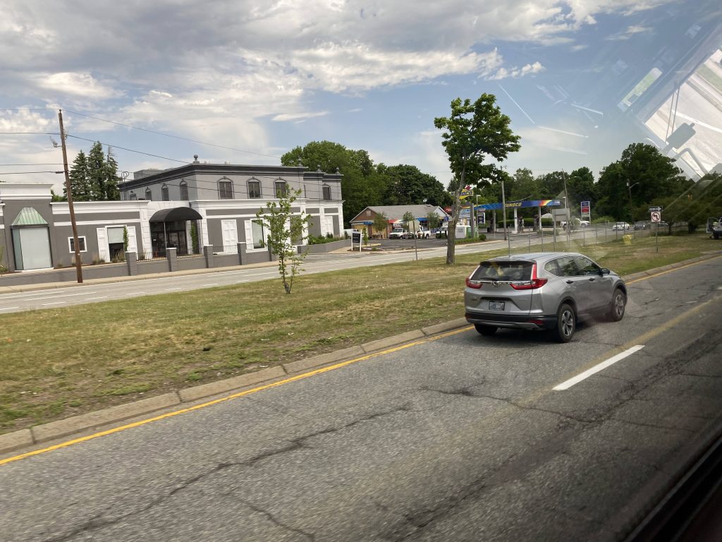
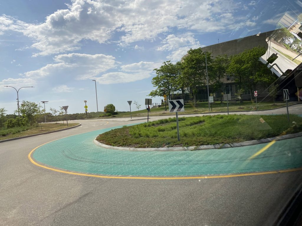
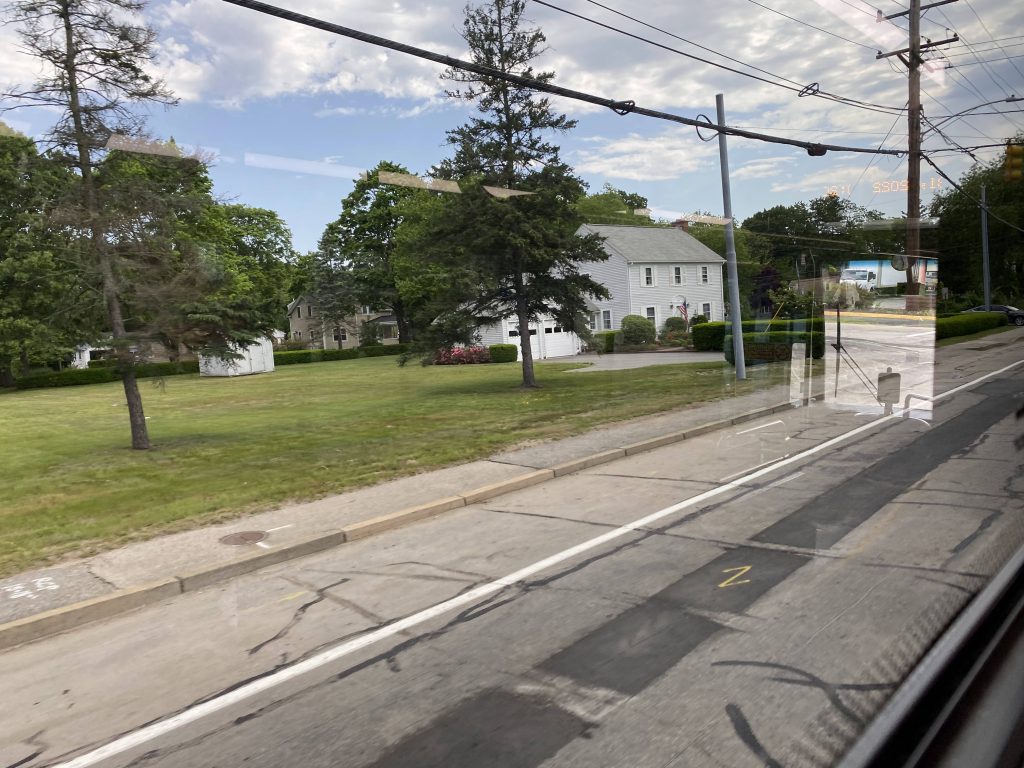
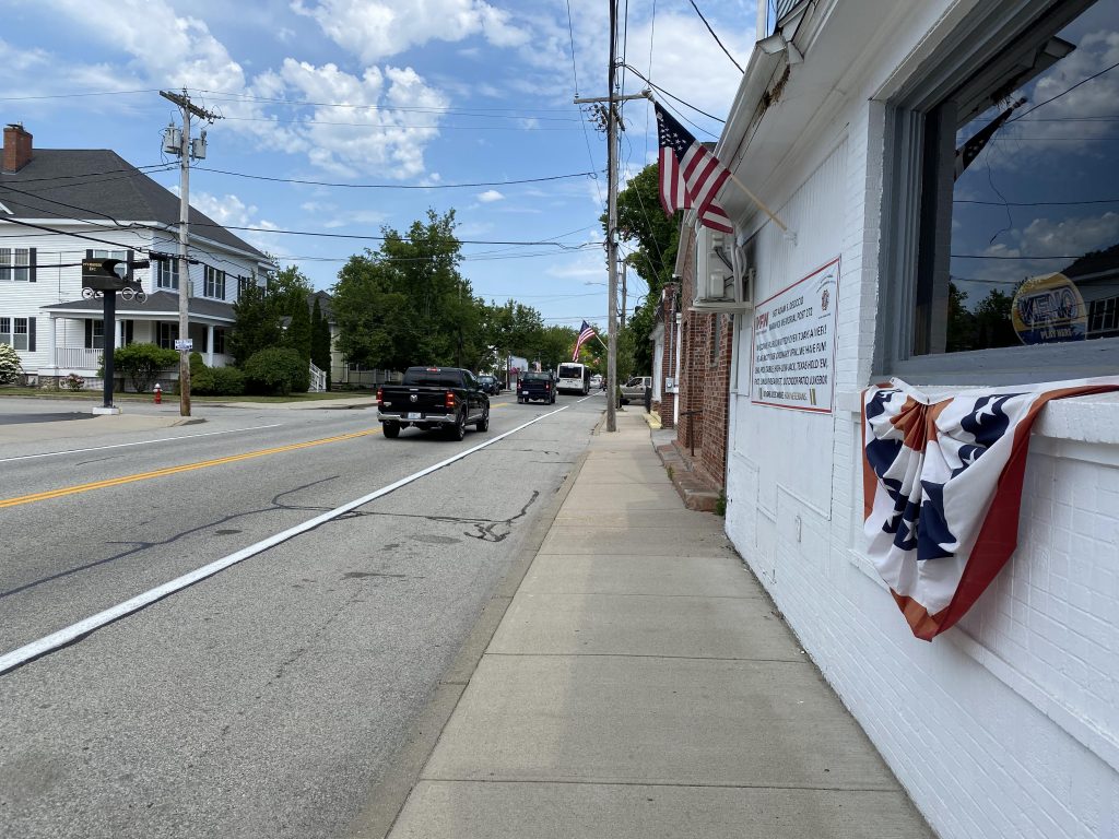
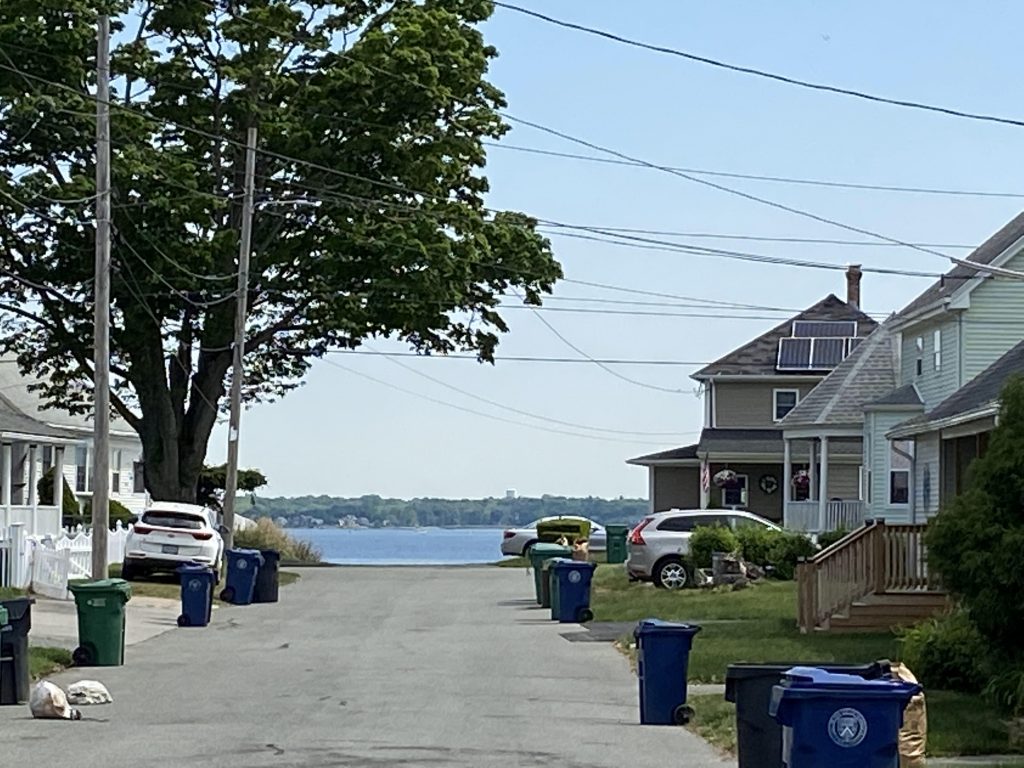
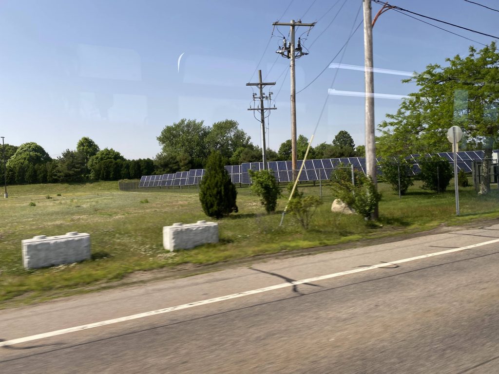
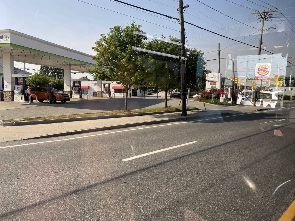
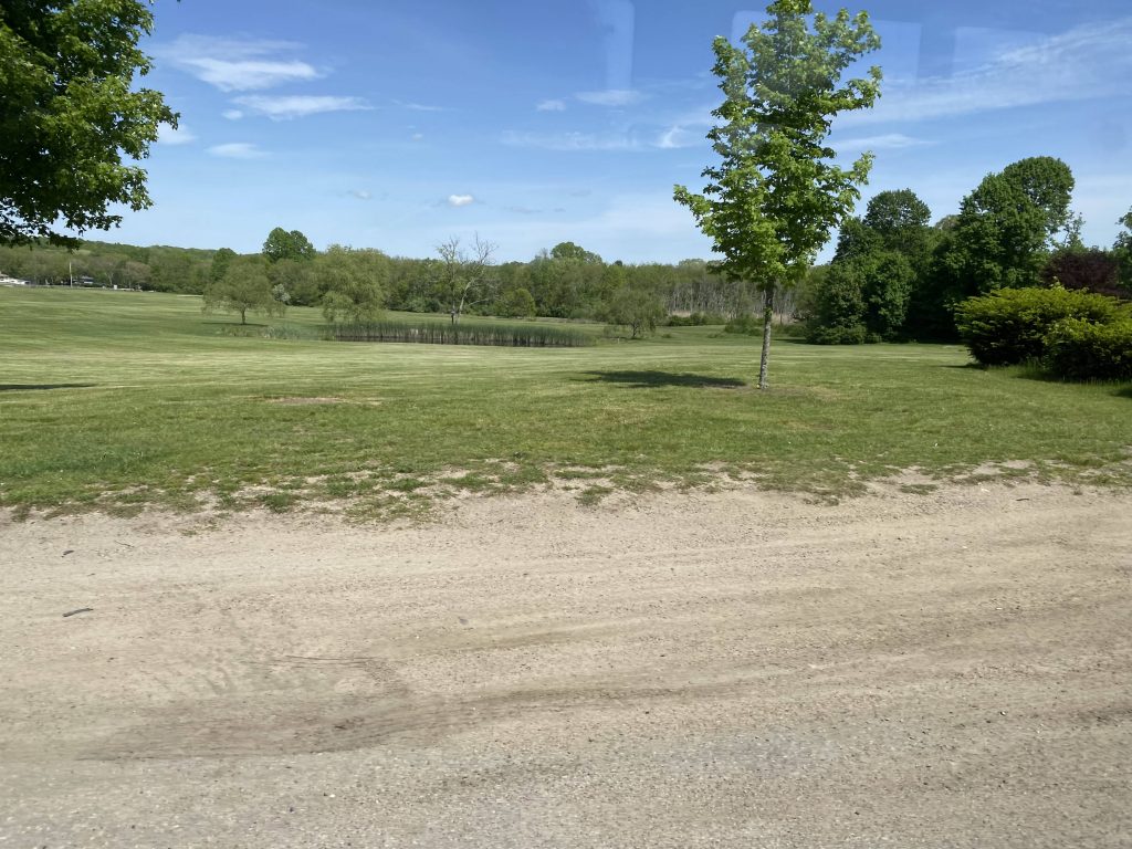
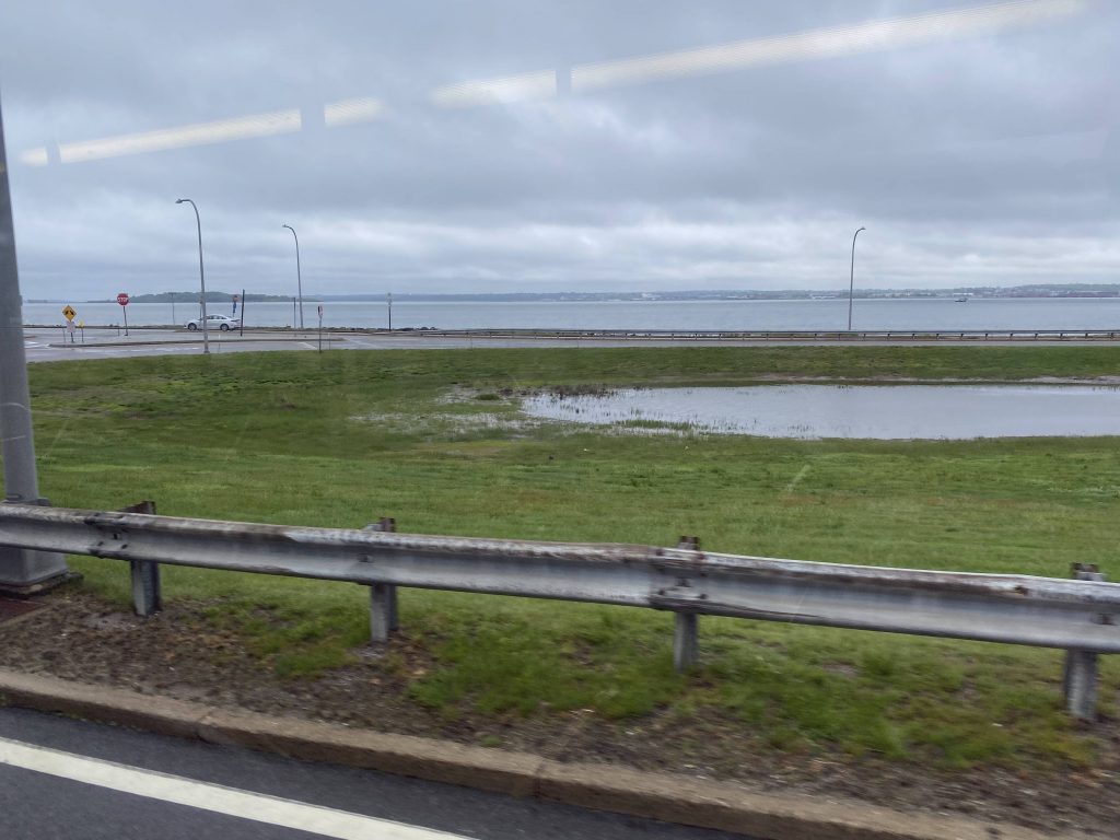
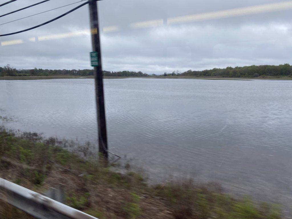
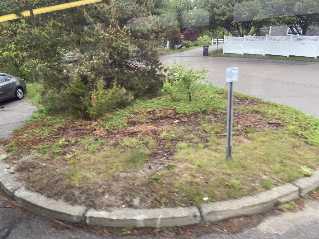
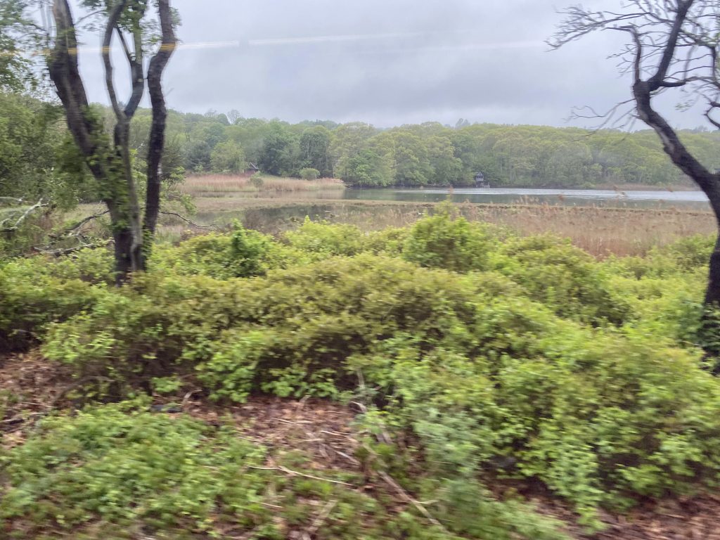
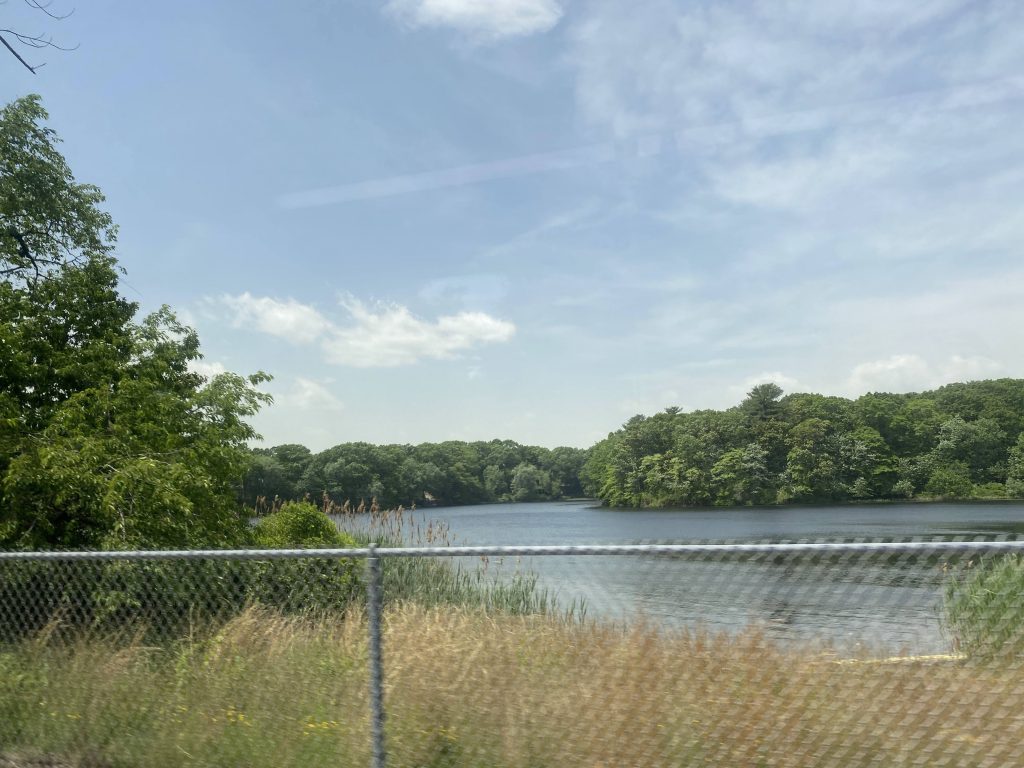
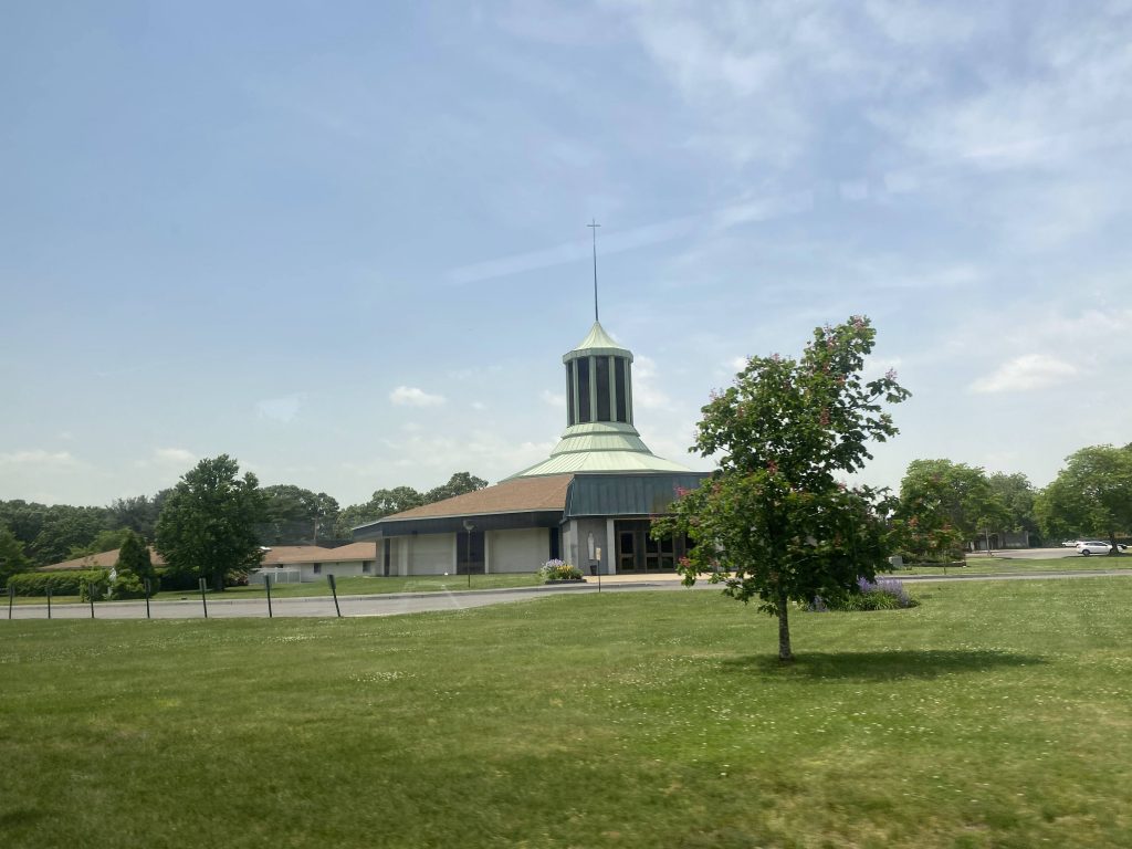
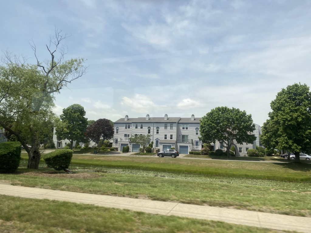
We kept going down Warwick Ave., passing by a lake and meeting up with the 4 at Narragansett Parkway. We then passed by Hoxsie and West Shore Road, where the 4 then left us. Fortunately, there was something on the way to Oakland Beach. There’s a Lutheran church! There’s also another Stop & Shop, another Dollar Tree, Hendricken High School (don’t ask me my opinion on Hendi students, because it won’t be favorable), and then we met up with West Shore Road again. From here, it was a straight shot to Oakland Beach, through a largely residential neighborhood. Soon enough, it was the end of the route, at Suburban Parkway. Yeah, unfortunately the bus doesn’t stop at the beach itself. This, though, might have to do with the roads always being crowded with parking.

A pond!
Cumby’s!
A church!
A local market
ANOTHER DOLLAR TREE?!
McMansion-grade housing by Hendi
The bus laying over in the busway outside the beach

The good: It’s direct! It’s largely a straight shot from downtown Providence to Oakland Beach. It’s also a quintessential bus route, if you’re into the beach and prefer transit. In fact, it’s one of only four bus routes that directly serves any beach in the state – the others being the 69 (Galilee/Narragansett), the 14 (Narragansett branch), and the 68 (North End/First Beach, Newport).

The bad: It’s not too frequent. Also, WHY IS THIS ROUTE MORE FREQUENT ON SATURDAYS THAN WEEKDAYS?! It’s 40 minutes on weekdays vs. 35 on Saturdays, but still! Another one of my nitpicks, is it doesn’t directly serve the beach. Okay, maybe that one boils down to the traffic situation not being great, and clearance not being enough for a 40ft Gillig BRT to turn comfortably, with everyone parking haphazardly. I think it could also use a frequency boost during the summer months when, ya know, people actually want to go to the beach.

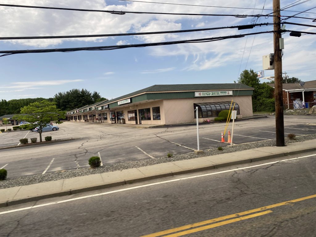
Nearby points of interest: The industrial wasteland! Also, JWU’s Harborside campus! There’s Oakland Beach as well, of course. Shaw’s and two Stop & Shops can also be found along the route.

Overall, it’s not a bad route. I think it deserves better during the summer, maybe similar treatment to the 67 in Newport when people actually want to go to the beach. Alternatively, someone should sponsor an express-ish Beach Bus program between CCRI and Oakland Beach. I’d certainly take advantage of it. I’d certainly also improve weekday frequency to be every 30 minutes or so
Rating: 6.5/10

Ocean!

28 (Broadway/Hartford Ave.)

If the 27 brought us down Manton Ave. to Centerdale, surely the 28 would do something similar, right? …right???

Nope. The 28 instead terminates at a Stop & Shop in Johnston, via Hartford Ave. and a Market Basket deviation. Let’s dig into it, shall we?

The route begins at bus stop W, on the far side of Kennedy Plaza. From here, we pull out and head towards the Dunk. Passing over I-95 and US-6/RI-10, we go down Broadway through Federal Hill and, eventually, Olneyville. It’s in Olneyville that the 27 splits off and heads down Manton Avenue. Meanwhile, the 28 turns down Hartford Avenue towards Johnston.

Federal Hill!
The construction at the 6/10 split
Olneyville!

From here, it was largely suburban to the very end. We passed by a number of houses and shops on the way down Hartford Ave., as well as other facilities like a charter school. It’d also be here that we passed a very old-looking Dollar Tree, as we passed Killingly Street. Soon enough, we’d pass Route 6 again for the last time on this route.

Some housing lining Hartford Ave.
A gas station!
Look, a Dollar Tree!
Route 6…..again.

Eventually, we deviated! And, into the wonderful land of Market Basket, at that! From here, the route then continues down Hartford Ave. It then turns left down Atwood Ave. and deviates into the Stop & Shop nearby, marking the end of the route.

Holy stroad Batman…

The good: It’s direct! It’s a way for people downtown to get to Johnston, as well as Stop & Shop and Market Basket, in a direct manner. And, on the inverse, it’s a direct way for people in Johnston to get to downtown. It also deviates into Market Basket, which is a plus. Quite a few people also use it, with it having an average of 1365 daily riders as of 2019.

The bad: Hmm, I guess the fact that it can become delay-ridden when school begins and ends due to the endless stream of school buses is probably the worst thing about this.

Nearby points of interest: The Dunk! Also, Olneyville! It also has Market Basket (and, as of 6/1/22, is the only RIPTA route that directly serves the front door of one, though this will change when the summer service changes go into effect on the 18th). Lastly, Stop & Shop! However…..there isn’t much else.

Overall, it’s what a key bus route should be: straightforward and direct. It’s not as busy as some of the others (like the 1), but not all decent key bus routes have to be packed 24/7. Besides, sometimes it’s nice to take a bus ride out to Market Basket and back.

Rating: 8/10

Kennedy Plaza (RIPTA)

This one was inevitable. You know it. And today, we’re going to be looking at Kennedy Plaza.

Kennedy Plaza!

So, what does this spot have to offer? Well, for one, it’s RIPTA’s central hub. There’s also some things around it as well. On the north side, you have the old Union Station and Providence Station, along with Burnside Park. This is also where bus stops X, Y, and Z are, all long-distance routes. If you’re trying to catch the bus and you’re in the plaza itself, good luck. Getting here consists crossing the street twice and a park. Burnside Park is also over here, along with the ice rink. During the summer, it’s a roller skating rink. No speed skating! Then, there’s the plaza itself. East Approach, while technically still part of Burnside Park, has bus stops V and W, where Broadway-bound routes board, along with North Providence-bound routes. On the north side of Kennedy Plaza, you have bus stops G, H, I, and J. It’s here that many of the East Side routes board, along with the northbound DTC routes. The R Line’s northbound stop can also be found here. On the southern side, you have bus stops B, C, and D. Southbound DTC routes board here, along with the CCRI-bound routes. Above each of the stops are countdown signs, but half the time they don’t even work.

Oh no.

Inside the building itself, you can find a couple of countdown signs for a few bus routes, but they don’t show all of them. Bathrooms can also be found here, however I wouldn’t recommend using them. Normally, there would be a ticket and photo ID office here, but they’re closed for now.

It’s well-lit, at least!

The least they could do with this building, is to have a Wave vending machine where you can load Wave cards. Kinda like how the MBTA has CharlieCard machines at the various subway stations.

The good: It’s centrally-located in Providence! It’s also largely walkable and big. However…..

The bad: The size can be detrimental, especially if you have to run from bus stops B/C/D to stop X. Also, why isn’t stop Z consolidated with stop X? Hell, why does the 49 board over here?! Thank god they’re axing that route. Also, this might not be the best place to hang, given that sometimes interesting figures will hang around. If you know, you know.

Nearby points of interest: There’s a 7/11 nearby! Also, Burnside Park! Providence Station is a quarter-mile away, as is Providence Place Mall.

Rating: 7.5/10

EDIT: It’s come to my attention that as of 6/20/22 (a Monday), the ticket office (and hopefully also the photo ID office) at Kennedy Plaza will be reopening, with Wave sales happening here. With this in mind, I can up the rating to a 7.5.
ORIGINAL RATING: 6/10

29 (Conimicut)

So, you might’ve seen the 58 and thought “Gee, I wish RIPTA had actual crosstown routes!”, and maybe the 35 wasn’t good enough. Perhaps you live in Kent County, in Warwick or West Warwick. Okay, fair enough. Meet the 29.

The bus laying over at Cowesset Corners

After getting off the bus to Cowesset, I walked around Stop & Shop while I was there. At the end, I bought a Fuji apple and ate it for breakfast. Must admit, it tasted pretty good.

Hi Marty…. *laughs nervously*

So, once it was time, I boarded the bus and paid my fare. And, we were off to the races. Deviation #1, here we come. Or, 2, rather, as I’m counting Cowessett Corners as #1. The Kent County Courthouse is an eastbound-only deviation, and is used as the turnaround point for the 29. From here, we went back up Quaker Lane and took a right down Cowessett Avenue.

Off to the races!
Governor Noel Kent Co. Courthouse
Some stuff on Cowessett Ave.

As the bus went down Cowessett Ave., the surroundings were largely what you’d expect in a suburban neighborhood. Houses, with some businesses mixed in. It remained for this for pretty much the entire way down to Main St., in West Warwick. However, there was also a memorial, built in memory of the tragic Station Nightclub incident in 2003. If you’re curious on what happened, here’s the Wikipedia article. (warning: it really is quite tragic)

Station Nightclub memorial
New London Turnpike at Cowesset Avenue

From here, we took a right down New London Turnpike, or Main Street as the announcements on the bus called it. It was still largely residential, with some businesses lining the road, as well as Roch’s Supermarket. On the left was the Pawtuxet River.

Some houses lining New London Turnpike
Pawtuxet River!

We then went up Main St., entering Arctic Village for a bit. It was here that one can transfer to the 12X and 13 if necessary. Businesses lined the streets for a bit until Providence Street. It was here, though, that the bus went left down Main St., passing a Dollar Tree and public housing. There’d then be a right down East Main, and a roundabout going down Providence Street. We’d then cross the Pawtuxet River again.

Arctic Village!
Public housing!
The river…..again.

We then kept going down and went down Toll Gate Road. From here, we took a left down Bald Hill Road then deviated into Rhode Island Mall (or what remains). After this, we went back up and powered up the hill to CCRI’s Warwick campus, which has a reputation for being very, very ugly-looking.

Some houses lining Providence Street
The split with Toll Gate Road
#unionizepricerite
An empty building along the needlessly wide road
We meet again, CCRI
Kent Hospital!

From here, we went out of CCRI via the back entrance and we were back at Toll Gate Road. We went past the hospital, and entered Apponaug Village. A couple of people got on at this stretch of otherwise woodlands. Pressing on, we went under the Northeast Corridor, and the intersection of West Shore and Long Street. Short 29 trips normally instead go down Long Street and Strawberry Field Road, both of which were formerly served by the 8X. From here, we kept going down West Shore Road, passing by Buttonwoods Ave. Eventually, we made it to Strawberry Field Road, and turned down Sandy Lane.

Warwick City Hall!
Some housing lining West Shore Road
A parking lot by Buttonwoods, I think
No strawberry fields here!

Disappointingly, it looks like there were no strawberry fields to be seen down Strawberry Field Road. However, there was the city pool, ice rink, and the Warwick Public Library’s main branch on Sandy Lane! And a transfer point with the 3! Yes, we turned down Warwick Avenue to meet up with the 3 for a bit. However, instead of doing what would seem like a sensible thing (at face value) and go down Warwick Ave. and turn down West Shore Road, we instead went down Church Ave. (a side street!) and got to West Shore from there. Yeah, don’t ask me about that one. From here, it was largely a straight shot, as the bus went down West Shore. Then, it turned down Beach Ave. and stopped at a church as the terminus. I, however, got off at the 2nd to last stop, as I wanted to transfer to the 4.

The city ice rink and pool
A vape shop and Picasso’s (they got some decent food)
…why are we turning down a side street?
West Shore Road…..again.
Where I got off
Ocean!

The good: This route serves a lot. Like, you have Conimicut, West Shore Road, Cowesset, and the southern areas of West Warwick. It also serves Kent Hospital and the county courthouse, as well as municipal facilities for both Warwick and West Warwick. Short trips also go down Long St. and Strawberry Field Ave. It also sees a decent amount of usage for a crosstown, at 443 people daily on average.

The bad: The headways are kinda annoying, being every 1hr15. Also, no Sunday service, and it’s very long.
*gets phone call*

Wait, what? Oh crap! Looks like RIPTA has plans to address the 29’s major shortcomings! That’s right! With the summer service changes slated to go into effect in 2 and a half(!!) weeks, the 29 is receiving the following changes
– Hourly headways
– Sunday service
– Runs both earlier and later into the day
– Interlines with the 13(!!!)

However, that means the section from CCRI to Cowessett is being replaced. The sections in West Warwick along Main St. and New London Tpke. are being replaced with the 23, while the Bald Hill section, including the courthouse and Cowessett Corners deviations, are being replaced with the 16.

I still stand by that the section east of CCRI is kinda long. And it doesn’t help that Apponaug can become clogged with cars quite easily.

Nearby points of interest: A lot! You got Conimicut Point in walking distance! There’s the Warwick Public Library, as well as Thayer Arena and McDermott Pool! Apponaug exists too, as does CCRI. In the areas axed as of 6/18/22, you have the RI Mall, Arctic Village, and Cowessett Corners.

Overall, it’s quite the route to ride, however the fact that RIPTA is addressing its shortcomings makes it easier to stomach. And, this would be the second time they’ve done so. The first time, with the fall ’21 service changes, they axed the Warwick Mall deviation and gave Phenix Hotel to the 13, and brought headways to 75 minutes instead of 90. And, in a system that has practically zero crosstown routes, this is a prime example of what a crosstown route should look like.

Rating: 7/10
Original rating: 6.5/10 (revised due to service changes)

QX (Quonset Express)

So you know how most express routes that involve Providence (as in, all of them) has Providence at the end of the route in the morning and the beginning in the afternoon, usually? Of course, the 24L and reverse commute trips of the 9X, 61X, and 95X all exist too, but that’s beside the point here. Point is, none of them make Kennedy Plaza a deviation.

Here it comes!

Meet the QX. An express route designed to get people from Cranston, Providence, and Pawtucket to their workplaces in Quonset in the (very early) morning, and back home in the late afternoon, the QX links people with a major employment center. So, what did I do? I rode the route, of course!

On the move, passing Kohl’s

So, the route officially begins all the way at Cargill, a food plant, at Compass Circle. However, since getting there is too far out of the way for me, I got on at the Gate Road stop by the Marriott. From here, we went straight through the roundabout onto Davisville Road. Soon enough, we reached the first timepoint, corresponding with Norad, an auto importer. We turned down a street and another. Next stop? Ocean State Job Lot’s distribution center. Once at the traffic light, we turned left down Roger Williams Way and deviated down a street. Down here were places like Fujifilm and the next timepoint, Hexagon Manufacturing, or Keifer Park as the timepoint is called. Lastly, we went right and served the last timepoint in the area, Electric Boat. Anyone in the know about the local economy will know that General Dynamics Electric Boat is a major player with the Department of Defense.

A solar array
I can’t help but feel like I’m not supposed to be here
Parking, I think.
Oops! All Ocean State Job Lot!
I don’t remember what this is
A golf course?!
Some construction!
Fujifilm!
One of the signs for this building said “DO NOT PHOTOGRAPH”
I really don’t feel like I’m supposed to be here
Oh my.

From here, we turned back down Roger Williams Way and HOLY CRAP WE’RE EXPRES- oh god traffic OH GOD IT’S BAD. So, yes the route goes express, and it turns out today was the exception rather than reality. Traffic set us back by about 30+ minutes. For some, it was further behind schedule than the headway for that route! See!

Finally, an expressway!
The Northeast Corridor
Oh no. This was how bad traffic was. The 66 has 30 minute headways, by the way.

Yeah. From here, though, we were on RI-403 the whole length. Eventually, through the snail-pace traffic, we crossed over the Northeast Corridor and Frenchtown Road, where traffic was also bad. We eventually made it to RI-4 northbound, where it was also bad.

RI-4, southbound is pretty well off

Eventually, after the pain and suffering in traffic, and the 30+ minute setback, we made it to I-95. From here it was a straight shot to …exit 14B???? Yeah, that’s a weird one. We then got off of THAT at Reservoir Ave., joining up with the 21 for a bit.

Interstate 95 under RI-37

From here, we went through Garden City and down Reservoir Ave. However, unlike the 21, we actually turned onto Park Ave. From here, we went down Park Ave. and Gansett Ave., meeting up with Cranston Street. Soon enough, we reached Carolina Street, made a right turn down it, and stopped at Brewery Parkade. Another seemingly weird choice, but whatever. Going further down, WE’RE EXPRESS AGAIN!

Near Garden City
The backside
Look, a Dollar Tree!
Cumby’s!
Some stuff on Park Ave.
We turned down Gansett Ave.
Some stuff on Cranston Street
Brewery Parkade
EXPRESS!!!
The 6/10 Connector

Yeah, traffic was pretty bad again. From here, the route deviates into Kennedy Plaza. Yeah, that feels weird to type. But, it gets off at Memorial Boulevard, deviates into Kennedy Plaza, then gets back on the highway. From here, it’s a clean shot up to Pawtucket. It gets off at Broadway, serves a park and ride lot, and ends at the Pawtucket Visitors Center.

The good: It links where people are with a major employment center, that’s otherwise car-required! Imagine being able to take a bus to Electric Boat. It’s also the only express route into Pawtucket, so there’s that too. Now, I don’t know if this one holds true either, but I’d imagine the timing of the bus would correspond with shift changes, I presume.

The bad: It only runs at normal commute hours. Now, I get it, it’s one of the longest routes by run time, but would it kill to have options for people who work nights, or pretty much anything other than a normal 7-3 shift?

Nearby points of interest: Quonset, Garden City, Brewery Parkade, and downtown Providence. But like, just use local routes for most of those. Garden City has the 21, Brewery Parkade has the 31, and downtown Providence has lord knows how many routes. It can also become very bad with on-time performance with any amount of traffic issues. Yikes. It’s also very not straightforward in Quonset, due to needing to serve pretty much everything at the front door.

Overall, conceptually it’s a great route. 10/10, even. However, with the limiting commute schedules, while I’ll have to give RIPTA an A for even considering this route, it’s still limiting with its two trips each way. But, I get it. It’s one of the longest routes by run time. Also, I will say that I find it weird that it doesn’t stop at any actual park and ride lots, like Wickford Junction. Now that I think of it, this would probably be a great route to have serving Wickford Junction, though it’s probably too far out of the way.

Rating: 6.5/10

The Walmart Shuttle (RIPTA)

Alright, so a route I can’t really ride. Since I can’t actually ride this route (because, ya know, I don’t live at one of the served housing projects), I’ll have to rely on Street View and Wikipedia again. So, what does this route serve? Let’s see.

This is what we’re working with for scheduling. Credits: RIPTA

So, as the picture above describes, it stops at several housing complexes around western Cranston, ultimately terminating at Walmart. That is, the same Walmart that the 19 terminates at. So, what do we have? Two whole hours of Walmart shopping! Now, maybe there’s some people that are more avid Walmart shoppers than I am, but I can’t shop for two hours straight anywhere, not even at a Micro Center.

Yup. That’s a 40ft bus.

The shuttle itself isn’t even something like a RIde or Flex bus, but rather a full-on 40ft bus. Now, let’s look at the various stops this route stops at.

Jennings Manor!
Arlington Manor….which is across the parking lot from Jennings Manor
Harris House, in low-grade JPEG quality!
Devan Manor, with a proper bus stop outside it!
Scituate Vista!
The route, according to PantographApp. Red stops are inbound (to Walmart), blue outbound.
A bus stop sign for the route. Credits to this person on Twitter for making me aware of the fact these signs exist.

Ridership, I cannot say as I’ve only ever seen three old people total get off one bus one Thursday. But, I’m sure it’d be similar in number to the 10X given the fact it’s a Thursday-only route that runs once each way. I’m also sure if it ran 7 days, or at least Monday-Friday, more residents at these places would take advantage of it.

The good: It’s probably a lifeline to the outside world for the people who do take this route. Yeah, they could take the 30, which runs more often and has weekend service, but if you’re a frail old person, would you want to run the risk of slipping and getting injured on, say, a snowy day when the Walmart express bus stops at the front door of your apartment complex instead? Would you rather risk heat stroke waiting forever and the risk of the bus missing your stop?

The bad: I guess, it’s the limited scheduling. But, for something like this you probably don’t even need more than one bus trip a day. Would the people appreciate more options? Probably. But is it necessary? I can’t speak for them on that. Although, if I were in their shoes, I’d appreciate additional options for Walmart trips, along with something timed to connect with the 19.

Nearby points of interest: A bunch of housing developments and Walmart, really.

Overall, the concept of the route is a good one. It’s important, and for those who use it, is probably a lifeline. I can’t really fault it for anything since I’m not even in the target demographic. Although, I can’t help but think that sometimes, maybe the route would be better utilized if there were more round-trip options. Perhaps, a morning trip that arrives at Walmart at 9am and leaves at 11, an afternoon trip that arrives at 1 and leaves at 3, and an evening trip that arrives at 5 and leaves at 7? Just a thought. But please though, could the city of Cranston take this thing off RIPTA’s hands? From a financial perspective, they have little reason to keep this thing, and I’m sure it’d be in better hands with the city’s housing authority providing shuttles to places.

Rating: 3/10, but 9/10 for the idea.

18 (Union Ave.)

If you read the 40’s post, I mention how it interlines with the 18 and how the two neighborhoods they primarily serve (the East Side for the 40, Silver Lake and Arlington for the 18) are very different. Don’t get me wrong, the neighborhoods the 18 serves aren’t terrible by any means, but it’s still quite evident there’s major differences between the two. Let’s get into it, shall we?

The bus laying over at Dyer Avenue

To even get here, I took the 17 all the way up to Dyer Ave. and Chestnut Hill Ave., which is the 18’s terminus. Not too annoying, but certainly could be worse. (I’m looking at you, 10X and 59X!!!) So, we’re working with a route that’s called “Union Ave.”, so why doesn’t it start at Union Ave.? Well, I don’t know. Oh, the bus is here, time to get on it!

A side street on Chestnut Hill Ave.

The route begins with a right turn down Chestnut Hill Avenue. Now, from here it’s largely all residential. There’s some businesses mixed in (like the florist and barber shop on Dyer Ave.) but not much else. There’s the occasional business down Laurel Hill Ave., but again it’s mostly residential. Eventually, though, we made it to Union Ave.

A few houses

Eventually, we took a right down Union Ave. And down, I mean quite literally. We were at the top of a hill, and there was only one way to go. As we progressed down Union Ave., more and more businesses started coming up, mostly locally-owned. There was also a Shell, before the interchange with RI-10.

A laundromat
The highway facing towards downtown

Of course, we ended up taking …a left turn down Ellery Street? Yeah, I’m confused on that one too. It’s largely houses yet again, and …another right turn down Chapin Ave.??? Okay? Eventually, though, and thankfully, we made it to Cranston Street. It was home stretch as from here, it was largely a straight shot through here, Westminster Street, and Washington Street to Kennedy Plaza, largely replicating the 31‘s routing.

Providence Castle- wait, oh, it’s the Cranston St. Armory.
Burnside Park!

From here, the bus would continue its journey as the 40 through the East Side.

The good: It’s a more direct connection to Providence for those that live along the route, without needing to walk as far. The terrain certainly wouldn’t help, especially during the winter months. The 492 people who use it on weekdays (as of 2019) probably appreciate the fact the route exists, although I don’t know stats on how many use the shared section with the 31, verseus the sections along Union and Laurel Hill Avenues.

The bad: The route doesn’t need to exist, given its location close to the 17 and 31. But, the ridership does show there is demand for such a route. It’s also weirdly indirect, being my biggest complaint about the route. Plus, there’s no Sunday service for some reason.

Nearby points of interest: A couple of parks at Dyer Ave., a few businesses along Laurel Hill and Union Ave’s., plus the Cranston St. Armory.

Overall, it’s not a bad route. It doesn’t need to exist, but the existence is still justified by the fact just under 500 people use it each day. And, I’m sure for many during the winter, when the hills are slippery, this route is more of a lifeline than ever to save them from walking as far. Plus, unlike the 40, it runs on weekends….though on Saturdays only.

Rating: 7/10

40 (Butler/Elmgrove)

Alright, say you had to visit someone at Butler. How would you get there? Drive? Well, what if you didn’t have a car? In that case, the 40 would be the route you’d take.

Burnside Park at Kennedy Plaza!

Now, this route actually interlines with the 18, meaning one can get a one-seat ride from Union Ave. to Butler, and the other way around, which might feel weird given they’re drastically different neighborhoods. That’s how I did both this and the 18. However, for the purpose of both posts, I’ll be doing them separately. The 40 begins at Kennedy Plaza at bus stop I, and goes straight once the light turns green. From here, we enter the East Side tunnel and pop out at Thayer Street.

Before the tunnel at North Main
Thayer Street!

When we popped out, we took a right down Thayer Street (one-way!) and a left down Waterman Street. From here, we kept going until we reached Wayland Square, then took a left onto Wayland Street and a right onto Elmgrove Avenue. As we went down Elmgrove Ave., it was primarily McMansions and houses that are way too expensive for me to afford in a lifetime. We did pass Brown Stadium, though! Eventually, though, we took a right down Rochambeau Avenue and reached Blackstone Boulevard.

Historic McMansions!
Some businesses at Wayland Square
Some more McMansions!
Brown’s football stadium!

From here, it was a straight shot into Butler’s campus, as we were let off at one of the buildings. And, I must admit it’s quite a nice campus. Certainly a nice place to take a walk at. Certainly a stark contrast to the route it interlines with (the 18)!

Nice and quiet!

The good: It serves the East Side! It’s also pretty much the only way into and out of Butler by transit. There’s also direct access to Brown’s football stadium, and it’s largely scenic (if you count historic McMansions as such).

The bad: I guess the biggest negative I can think of for this route is that it doesn’t run on weekends. There’s also the hourly schedule, which during the winter months can be a bit of an issue depending on how cold it is.

Nearby points of interest: The East Side! Thayer Street and Wayland Square for sure. There’s also Brown Stadium if you’re into college sports. And of course, Butler Hospital and Blackstone Boulevard.

Overall, this route isn’t all that terrible. The real drawback is the fact it doesn’t run on weekends. It’s also hourly, but the 235 weekday passengers that ride the route probably isn’t enough to justify higher frequency, and probably not enough to justify weekend service either. Although, given that Brown Stadium is along the route, I do wonder if there could be a shuttle program between Brown and Kennedy Plaza for sporting events, presumably ran by Brown solo or under a joint agreement with RIPTA. Only downside, though, is if you miss the bus at Butler, you’re going to be waiting a while.

Rating: 6.5/10

WARNING! CONTAINMENT BREACH! GATRA DIAL-A-RIDE SPOTTED IN THE EAST SIDE!

95X (Westerly/I-95)

Oh boy, this one’s a big one. Literally. The 95X is, as of 5/23/22, the longest RIPTA route by distance travelled. The 14’s Narragansett branch has the longest runtime, but this one is the longest by mere distance, and with good reason. This route is the byproduct of demand for a Providence-Westerly express bus.

Leaving Kennedy Plaza

So, after boarding the bus and taking off, we immediately went express like most express routes do. From here, we booked it down through I-95, passing various things. As this happened, the exit numbers kept decreasing slowly but surely, as more routes parted ways from this shared segment. The 14 left us at exit 15, the QX joined briefly at exit 14, the 66 deviates at exits 13 and 12, the 12X leaves at exit 10, while the 65X and 66 leave for good at exit 9 to the left. From here, the 95X was the last man standing and it’d still be a long way until, what’s this? A deviation?! Yes, we deviated off at Exit 7 and took a left towards the aptly-named “Exit 7” Park & Ride lot. This could also be a transfer point for the new route 23, but current routing doesn’t allow for easy transfers. We then got back on the interstate and kept pressing on. We passed Hopkins Hill Road at exit 6A, Nooseneck Hill Road at exit 6, RI-102 at exits 5B and 5A when eventually after going for what seemed like forever through woods, we made it to deviation #2. Park & Ride in Hope Valley, and apparently the 301 Rural Ride’s terminus is nearby. From here, we banged a u-ey in the park & ride lot and went back on I-95. It was still woodlands until we reached exit 1. From here, we would have deviated off into the park & ride lot, but the driver opted not to after I and the other guy confirmed we weren’t going there, presumably to save time.

No RI-117 P&R deviation for you, sir!
Exit 7!
Exit 3!
Exit 1!

From here, we did NOT get back on the interstate. Instead, we kept going down Nooseneck Hill Road (same one as Exit 6!) The surroundings became more suburban in nature as we passed through Ashaway Village. It was quite a long ride still as we inched closer towards Westerly. Eventually, we did cross the Pawcatuck River into Westerly, but it was largely woodlands. Fortunately, it didn’t last too terribly long as we eventually reached High Street. From here, it was a straight shot, over the N.E. Corridor, and a right onto Railroad Ave. and we pulled into Westerly Station. Weirdly enough, the announcement didn’t acknowledge Amtrak’s presence, like how the Interlink’s announcement doesn’t mention the MBTA.

A grassy field!
A protective barrier on the overpass over the N.E. Corridor
So long…

The good: It serves as a direct link to an otherwise unserved town. Seriously, why does a town as big as Westerly not have any transit? It also serves a number of park & ride lots right off I-95 that otherwise would have no service.

The bad: It’s infrequent. Like, it’s the only link Westerly has to the outside world save for Flex. And that, too, is infrequent. It also takes a really long time to get to Providence from here (1 hour by bus!), while the N.E. Regional costs $8 and can get you there in about 30 minutes. Furthermore, there’s only one P.M. inbound trip, which if you don’t take to leave, you better have a N.E. Regional ticket ready.

Nearby points of interest: Walmart is about a mile from the West Greenwich P&R lot. There’s also Providence and Westerly!

Overall, the route exists with good reason. While a regularly-running Narragansett/Westerly link would be better, this will have to do for now. Furthermore, it’s nice that it serves a bunch of park & ride lots that are otherwise in the middle of nowhere. It’s not exactly “scenic” though, and if you’re taking a bus to Westerly at 2pm, you better have an Amtrak ticket ready to return. Speaking of which, my 2pm trip had about 4 other people total, while the route typically nets about 90 people each weekday, being average for an express route. It’s just a shame that RIPTA basically did Westerly dirty with regards to transit, and I hope some day there’s a less convoluted way of getting in and out, because it’s really a nice town with a nice downtown and beaches.

Rating: 7/10

64 (URI/Newport)

So, for linking the West Bay to Newport, there’s not many frequent options. There’s the Newport branch of the 14, which I’ve taken a look at already, and that only comes by every 2 hours on weekdays, but every hour (mostly) on weekends. But that’s between downtown Providence and Newport, via Jefferson Boulevard and US-1. What if you wanted to get to Newport from URI, though? Meet the 64.

Buses at the Newport Visitors Center

So the route leaves the Visitor’s Center and pulls into a side street. From here, we kept going up Third Street, until we took a right onto Admiral Kalbfus Road and went 3/4 of the way through a roundabout. From here, things got a bit crazy with deviations. If anything, I’d count this as a double deviation. So, we went the 3/4…..to serve Newport Towne Center at Stop & Shop and Walmart, and then went further up Coddington Highway to deviate into CCRI’s Newport campus. Then we went all the way down, 3/4 of the way around again, and then started an express (tolled!) section on RI-138. From here, we stayed in the right lane and got on the Newport Bridge and crossed into Jamestown. Unfortunately, due to the poor weather, the views weren’t as great as when I did my 14 Newport post. However, we largely went the same path, just in reverse this time. That included going by the toll plaza, past what looked like some McMansions, the downtown area of Jamestown, and back up North Road onto RI-138. From here, we were on the Jamestown bridge after one exit. The express was short-lived, as eventually we made another deviation – this time into the US-1A park & ride lot. Of course, unlike when I did the 14, noone got on here.

The state flower!
Look, a Dollar Tree!
CCRI’s Newport campus, the newest of the four campuses
The Newport Bridge
A flooded island near the Jamestown toll plaza
Wetlands in Jamestown
The Jamestown bridge!
A not so great shot of the US-1A park & ride

From here, it was a straight shot down Boston Neck Road, as we went through wilderness upon wilderness. We eventually reached a red light that we turned left at, to deviate into URI’s Bay Campus. Noone got on here either, so we went back around and went straight at Bridgetown Road. We eventually reached another park & ride lot, this time at the intersection of Bridgetown Road, US-1, and RI-138 at the Hannah Robinson Tower. Don’t ask me what’s up with the tower, though, as I don’t know.

URI Bay Campus
A lake by Bridgetown Road

From here, it was basically a straight shot to ….the train station??? Yeah, the route doesn’t terminate at URI but rather Kingston Station. It’s mostly woodlands from here until URI, with some houses and businesses mixed in along with other college-related stuff. Eventually we deviated into URI to serve the bus stop at Memorial Union, at which point the driver asked me and the other guy if we wanted to get off. I looked at the other guy and said “Nah, I’m heading to the train station.” and the other said “Yeah, me too.” Guess the driver usually has someone getting off at URI. We went down Lower College Road and took a right back onto Kingstown Road. From here, it was a straight shot to the train station, as it was the end of the route.

Some stuff near URI
The bus stop at URI Memorial Union
The route’s terminus at Kingston/URI Train Station

The good: It links Kingston Station with Newport via URI! It’s also scenic.

The bad: …except this thing never comes. It’s got lackluster scheduling (every 1hr15 on weekdays, and every 2 hours on Saturdays, and no Sunday service!) and an insane amount of deviations. Now, I can see the appeal of a one-seat ride to Walmart or Stop & Shop, but who wants to wait however long for the return trip to URI or Jamestown? And if it’s Walmart, why not just take the 66 to Wickford Junction and walk? Now, I get there’s the whole “what if you can’t walk?” argument though, and that’s understandable. But like, 1 hour and 15 one way is a bit much to wait for the next bus. If you’re trying to get to Newport from Jamestown for a connection to either the 60, 63, 67, or 68, just take the 14 instead as it’s more direct.

Nearby points of interest: Kingston/URI Train Station, as well as URI itself. There’s Jamestown, and the various deviations in Newport. Plus, the bus connections at the train station and URI, along with the ones in Newport.

Overall, it’s a bit of a doozy to ride, but it’s a necessary connection. My biggest gripe is the fact it never comes. Try, every hour and 15 minutes, with 2 hour service on Saturdays, and no service on Sundays. Do people just not travel on Sundays? The ridership figures reflect the poor service too. How about, 158 people average weekdays in 2019? Yikes. I’m sure if it ran more directly (and maybe express past the park & ride? Dunno how many people use that as an alternative to URI parking) it’d likely be higher. And, why does it need the deviation sensation in Newport?! Is it trying to be the 63?!
Rating: 4/10