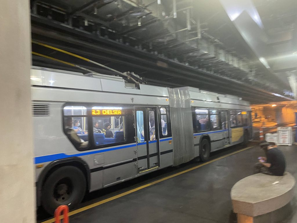
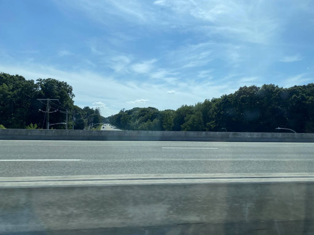
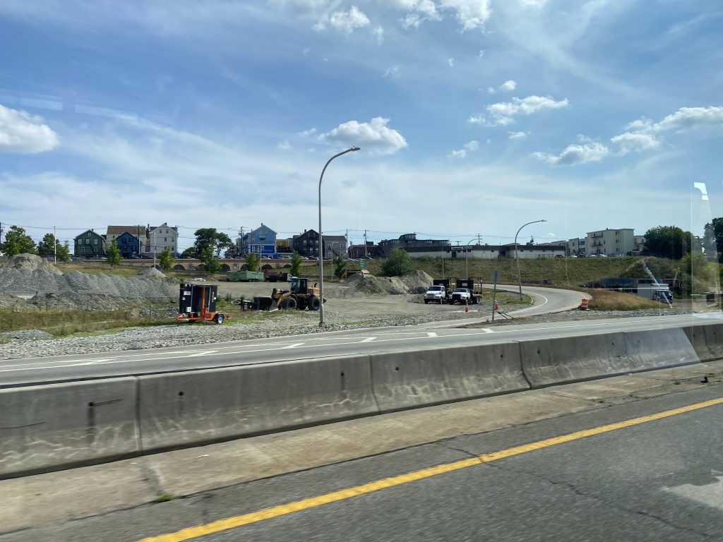
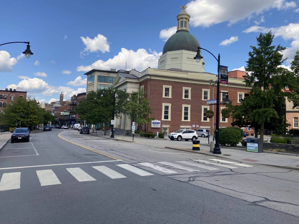
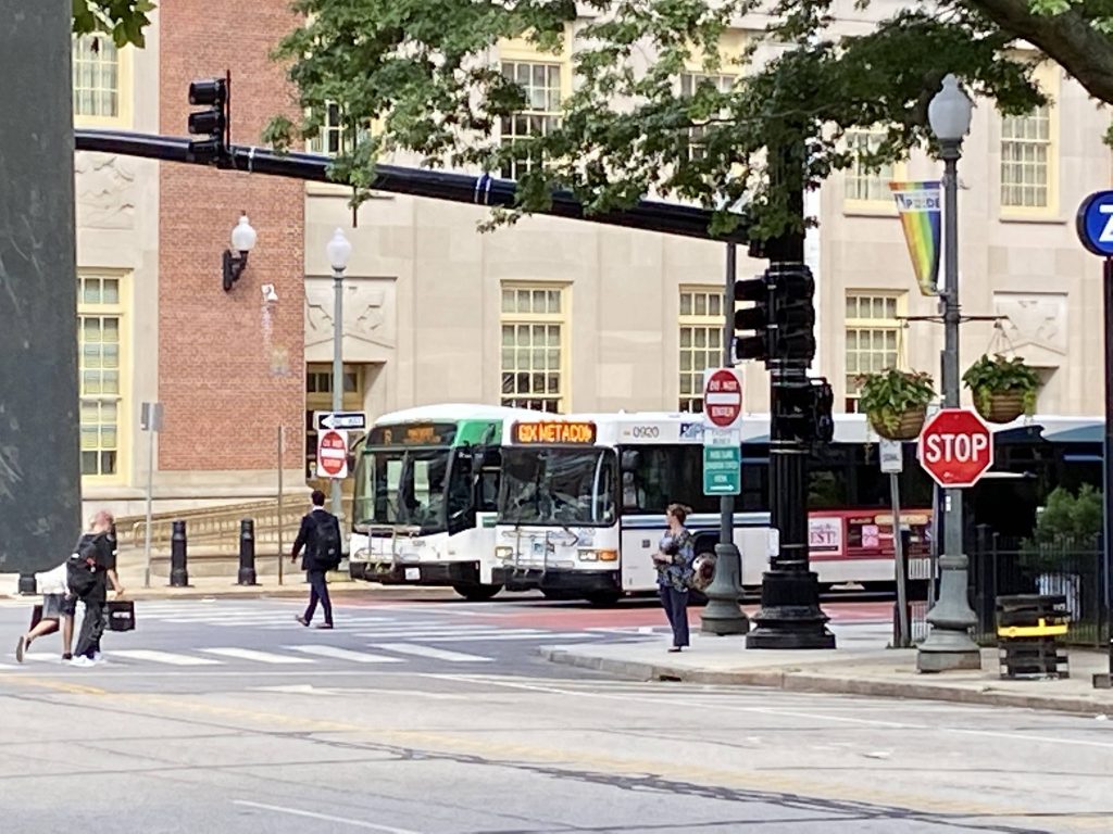
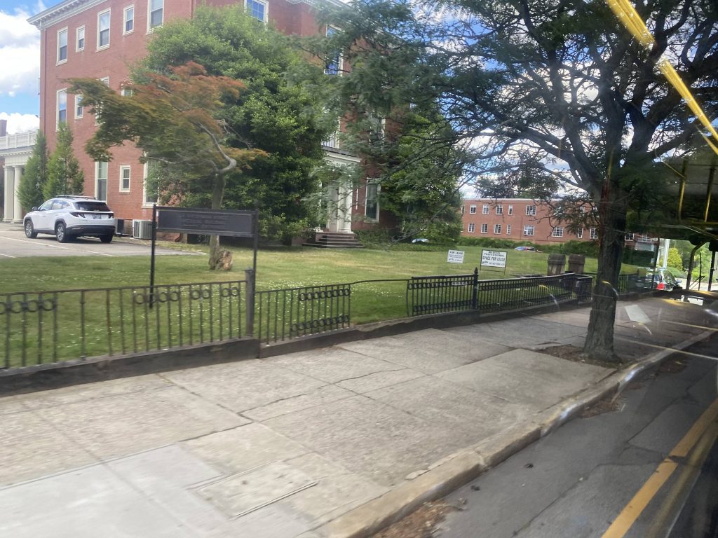
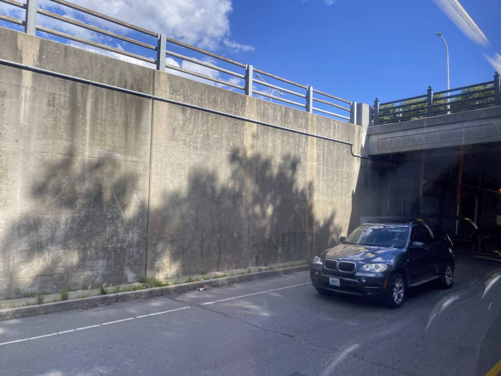
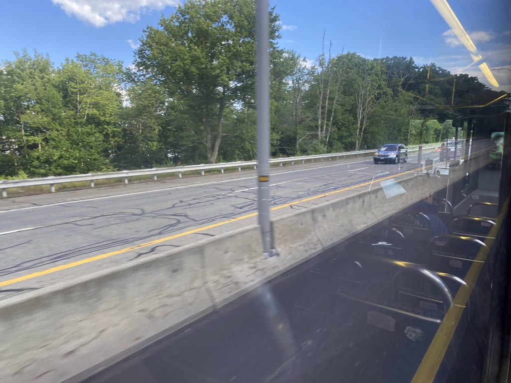
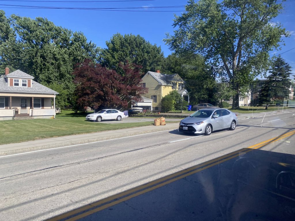
Oh my, some Silver Line stuff! So, the first stop past BOS is Courthouse. Let’s take a look. Is it overbuilt?
See ya!
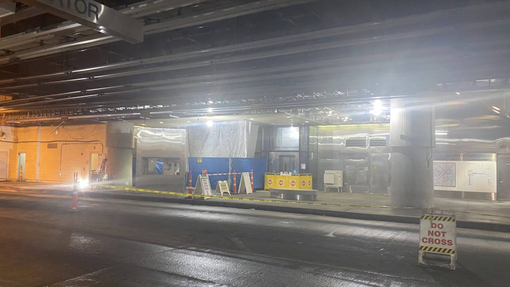
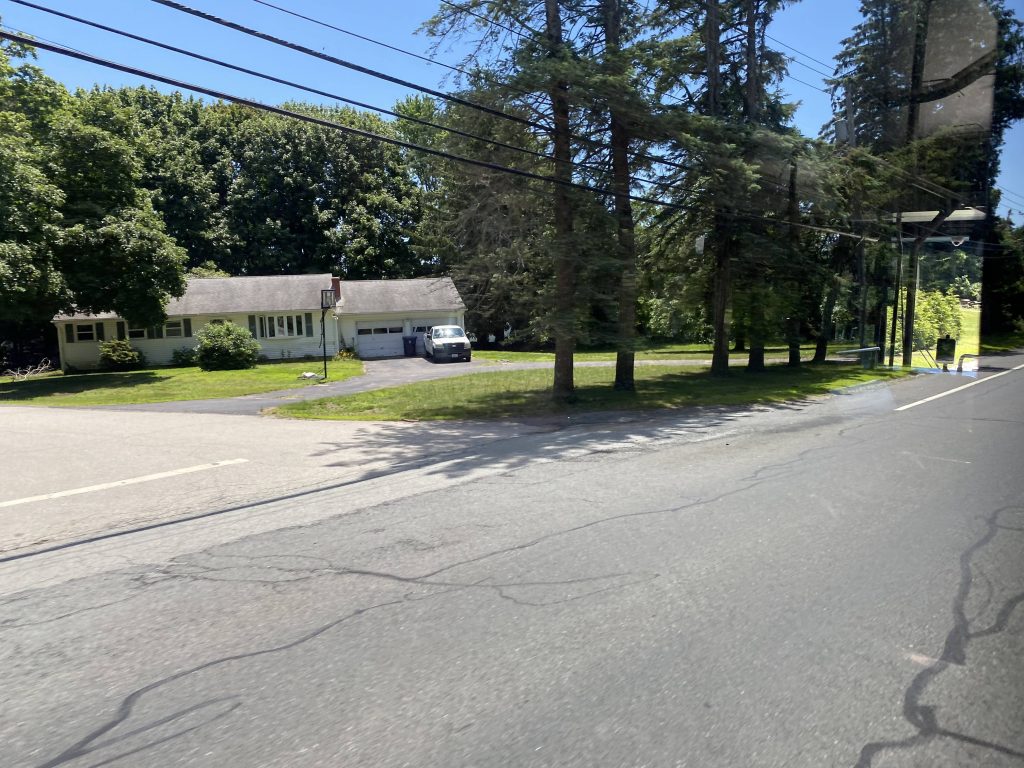
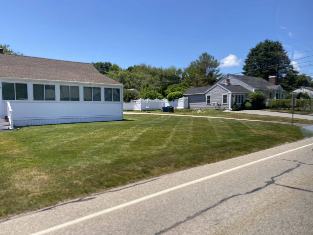
So, the platforms are relatively bare, with a bench to sit on. Nothing here. The station is also construction-ridden, and enough to where I ended up somewhere where I probably shouldn’t have been in. The ceiling in the mezzanine looks nice, though.
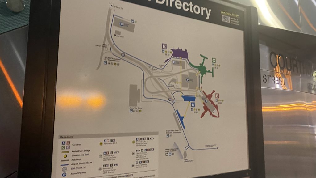
The other side and the do not cross signA directory for …Logan Airport???Oh no.A countdown sign just past fare control
The good: It’s a direct link from downtown to the Joe Moakley Courthouse along the waterfront. I’d assume this is what most people end up using it for, that and other waterfront venues.
The bad: There’s no free crossovers (officially) in case you end up on the wrong side of the busway. Sure, you could hail Mary across the busway, but I wouldn’t suggest it. Also, the unholy amount of construction. Ridership isn’t the best either, with around 2500 weekday boardings happening here as of 2019. Not the best indicator either, but when I rode through here both times today, noone got on or off.
Nearby points of interest: Of course, there’s the Joe Moakley Courthouse. There’s also the Institute of Contemporary Art, which is probably the biggest attraction (and truthfully, should have the station renamed “Courthouse/ICA”)
Transit connections: Silver Line (SL1, SL2, SL3, SLW)
Overall, it’s not the best Silver Line station. The biggest killer for me, construction aside, is the non-free crossover from inbound to outbound. Maybe I did it wrong, who knows. Nevertheless, it’s not the easiest station to stomach.
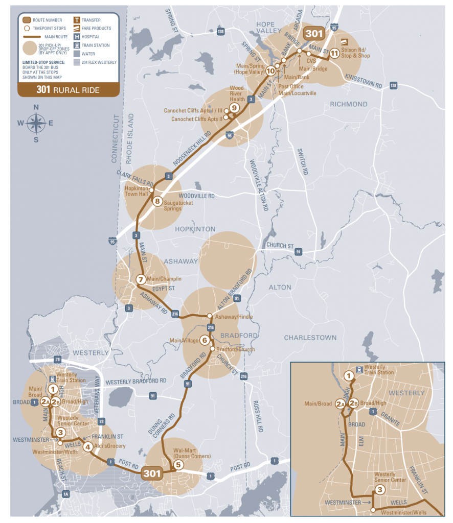
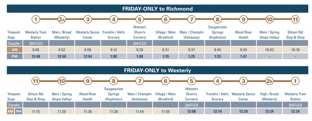
Alrighty! Now that I’ve finished up the main RIPTA saga, I still have a few bits of bonus content (mainly Flexes) to take care of before sealing the coffin for good. This is one of them. Meet the 301.
The routing
Alrighty, so the route runs between Westerly Station and the Stop & Shop in Richmond. Stops are as follows:
Westerly Station
Main/Broad (outbound) or High/Broad (inbound)
Westerly Senior Center
Aldi’s @ Franklin St.
Walmart @ Dunn’s Corners
Village and Main, Bradford
Main and Champlin, Ashaway
Saugatucket Springs, Hopkinton
Wood River Health
Main and Spring, Hope Valley
Stop & Shop, Hope Valley
The schedule is clear-cut, with a round trip between Westerly Station and Stop & Shop, and a “most of the way” one-way trip, between Westerly Station and Wood River Health. I’m pretty sure that, if Miles’ experience on this is to go by, most ridership comes from Wood River Health. And, if that’s the case, it’s probably in their best interest to take it off RIPTA’s hands. I mean, for crying out loud, it’s Friday-only AND doesn’t even accept Wave, just $2 cash. Amusingly, it’s numbered at the stop sign at Westerly Station.
The schedule
The good: It’s a lifeline for those who use it! Hell, the rural nature of the route means it’s really the only lifeline for those at Wood River Health.
The bad: There’s no real reason for this to even be a RIPTA thing! Like, 1 and a half round trips?! I’m sure if it were a normal fixed route, ridership might be a little better, but would it? I get rural public transit is a difficult beast but even then. Just, please, Wood River Health, just take this thing off RIPTA’s hands. Furthermore, it doesn’t even accept Wave! Also, $4 for Flexing the route? Huh, that’s an odd one. Yeah, apparently you can deviate up to half a mile from any scheduled stops. I’d argue the routing for this would be better for a URI-Westerly connector route, which would at least have an added bonus of being a lifeline for those at Wood River Health.
Nearby points of interest: The two park & rides along the 95X, I guess. There’s Hope Valley, Hopkinton, and Westerly – albeit with a real chance of no way back. One could also connect to the 204 Flex, the 95X, or an Amtrak to get out of this sealed-away corner of the state.
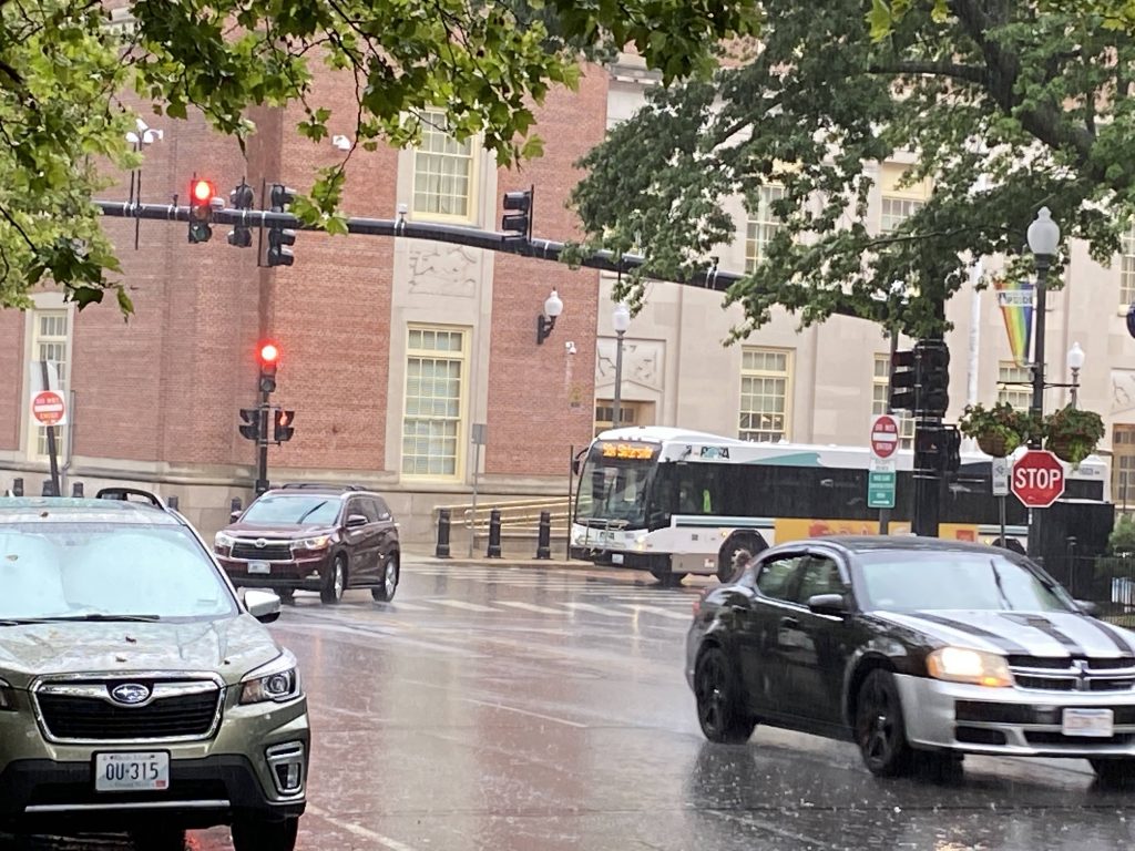
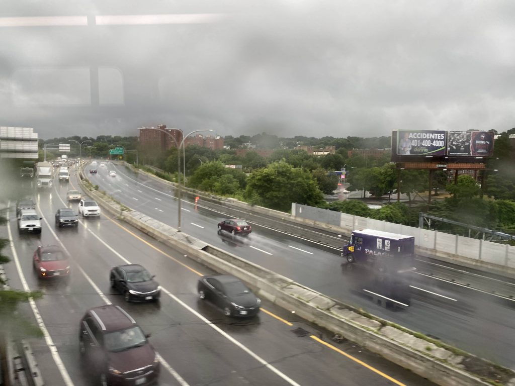
Oh boy, the final route! Is it really worth the hype of being a grand finale? Well, let’s find out. I can safely say that the weather is befitting, as it may as well be monsoon season.
Here it comes, and look at that torrential downpour!
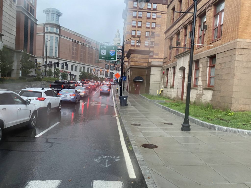
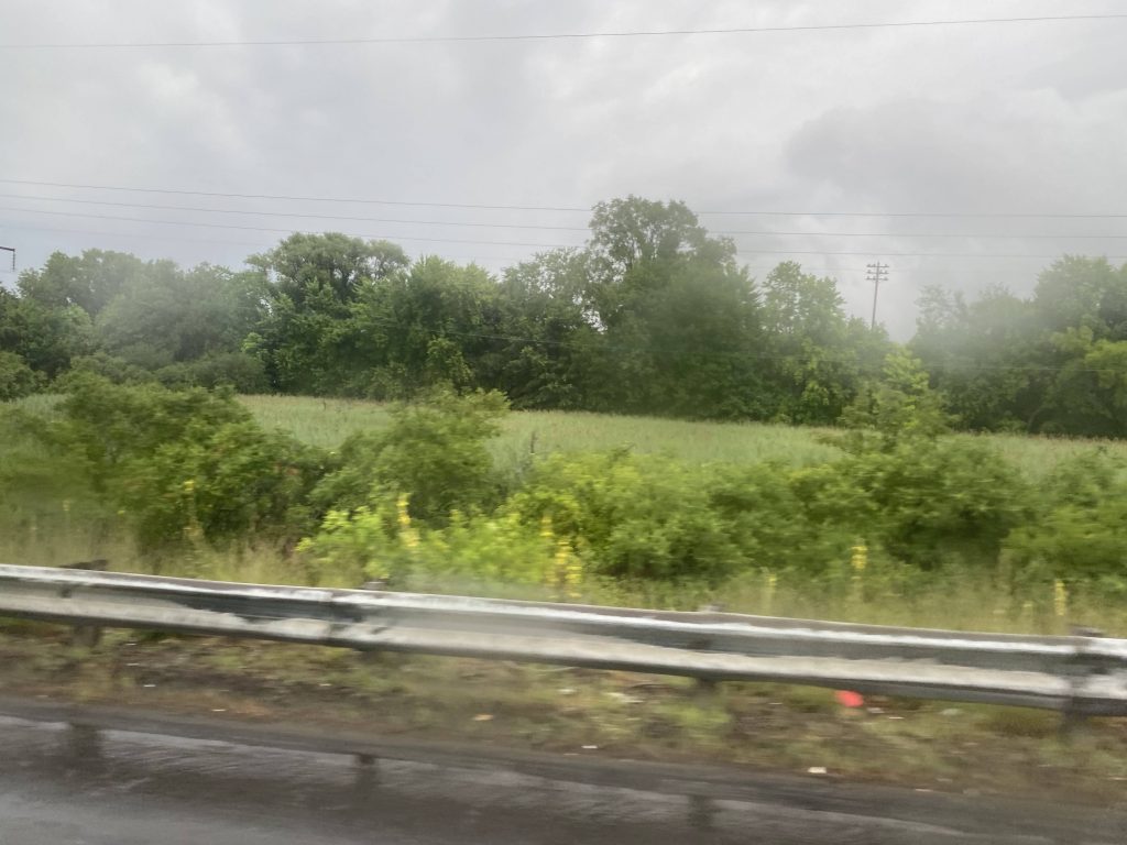
So, the route does the Downcity Loop, with its last stop being Kennedy Plaza. From here, it immediately goes express onto I-95 northbound, where we hit quite a bit of traffic. Fortunately, most of it is from merging, and we then took the next exit onto Rte. 146 northbound. From here, it quickly became woodlands. But hey, at least we got to skip the 54’s Twin River, CCRI, and North Central deviations! Unfortunately….
Dear God…The Northeast Corridor from I-95I-95 from the Rte. 146 flyover rampWoodlands!No deviation today!What a weird-looking exit (Sherman Ave.)
We still had to deviate into the Lincoln Mall. And not the front. As we went into the mall, two announcements played. “Approaching: Lincoln Mall. Approaching: The park & ride at…Lincoln Mall.” Yeah, apparently the CinemaWorld parking lot, which neither the 54or 75 serve, is a park & ride lot. From here, we went back on the freeway.
Watry!This is a park & ride?!Not today!Onwards!Into the home stretch
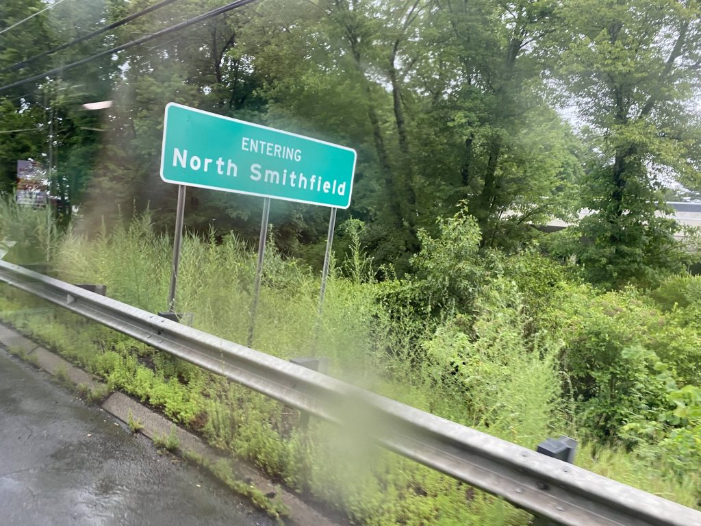
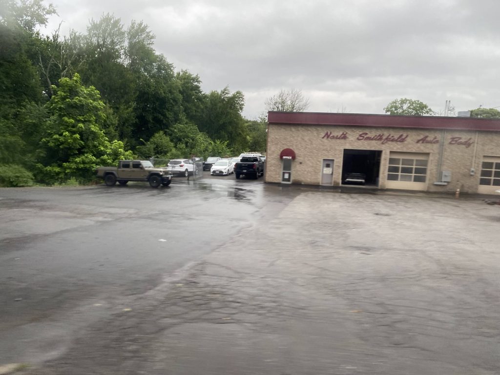
At this point, only two others remained on the bus. However, once we got to Park Square (after skipping Walmart), they got off and walked to Stop & Shop. Man, RIPTA and/or RIDOT oughta put a park & ride lot around here. Nevertheless, we pressed on up Smithfield Road instead of taking a right down Providence Street, going up through Union Village. Apparently there was another park & ride along this stretch, with the only stop being named “Great at 601 Great”, with the announcement saying “The park & ride at Branch Village.” No lots were to be seen, though, unless I missed it. We were near the end though, as all the rural housing and businesses passed right by. We crossed Route 146 again, now called the North Smithfield Expressway, and reached the final light. There it was, Brigido’s Market, or rather, “The park & ride at Slatersville Plaza”. It was here that I got off, with no way back aside from a $13 Uber. I’ve finally 100%’d RIPTA.
Some businessesNot today, bud!Look, a Dollar Tree! (from the 282 Flex and the 54)A church in Union VillageSomeone’s yardA store of some kindThe North Smithfield Expressway, again!Some side streetsThe northernmost point on RIPTASee ya!
The good: It’s a direct link between Slatersville, Branch, and Union Villages to Providence and Lincoln! For those using it as a park & ride (as intended), it’s also quite accessible.
The bad: If you don’t have a car or an Uber ready, and you need to get somewhere only accessible by this route, good luck. Be ready for a lot of walking. On a more serious note, what’s with the unsigned bus stop in the back side of the Lincoln Mall? Hell, even Slatersville is signed! And, where’s the “park & ride” in Branch Village? And, there should be one at Park Square, given a few people got off.
Nearby points of interest: I mean, there’s Slatersville (with no way back) and the Lincoln Mall, along with North Smithfield and Woonsocket. There’s also downtown Providence!
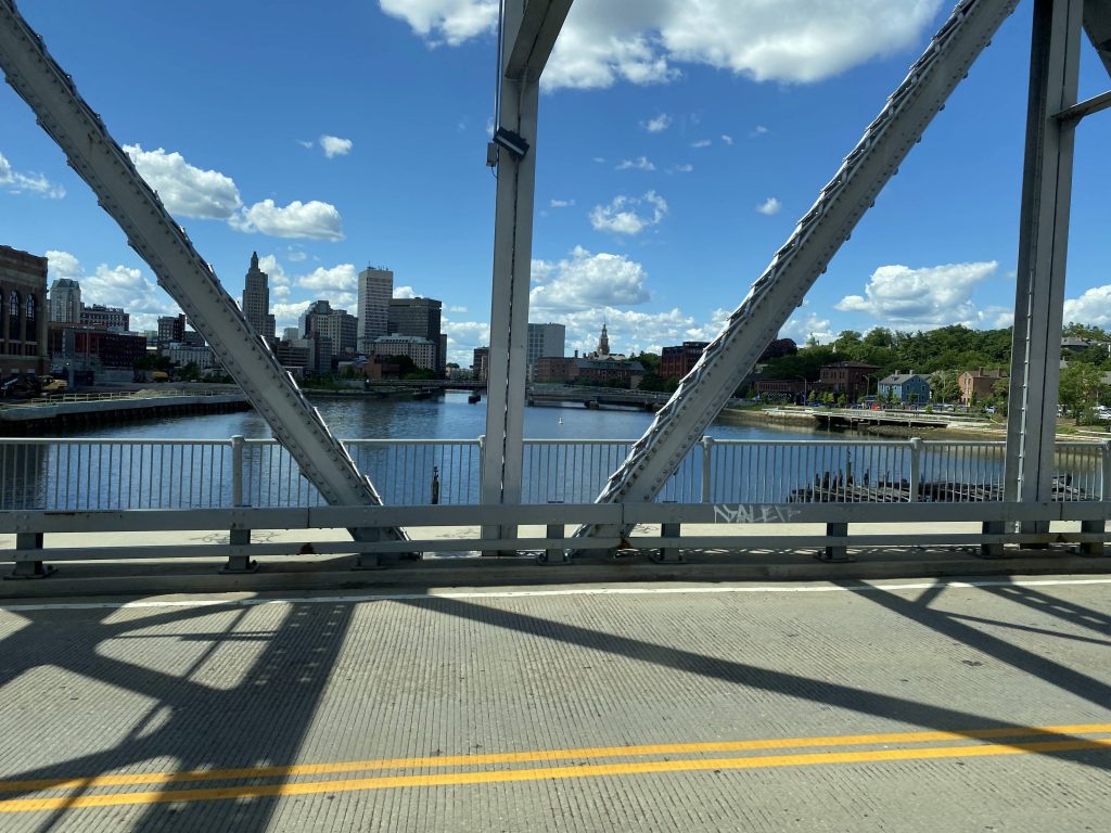
Overall, this route’s an important link. It’s a direct express connection between the middle of nowhere in northern RI and downtown Providence. Ridership puts it as the 2nd least used express, at 59 people daily, which today probably still holds true, as my ride had 4 others. As for giving this express a local-running counterpart up north? I’d add it as part of a fixed route version of the 282 Flex.
Rating: 4/10
…wow. I’ve finally done it. I’ve ridden every fixed RIPTA route (for now, anyways). I’ve actually done it. Now, I’d like to give some thanks, namely to Wintry, for tagging along for a couple of these posts and giving insight into various routes (e.g. the 13 going to Providence and being a hot mess historically), an anonymous friend for coming along for several of these routes, the folks on the Miles in Transit Discord (as well as anyone reading, who ISN’T from there), the operators who make the system chug along. Also, shoutout to that one Asian guy from the Miles in Transit server that Wintry and I encountered as we were doing the 16 (his username slips past my mind), and another shoutout to “what is life” from the Miles in Transit Discord for essentially sending me down this rabbit hole with the challenge of doing the 10x. But, most importantly, I’d like to thank you, the person reading this right now, for reading my content (Whether or not you enjoy, is a different story). From here, I guess I’m done with RIPTA for now, until any new fixed routes come to be (or if any change considerably enough), and when the Pawtucket train station opens up. As for future plans, I’ll probably attempt to tackle another nearby RTA next. In the interim, I’ll also be slowly hacking away at the various T stations and routes as I ride them, though admittedly I’m a bit hesitant to do the bus system knowing the redesign exists and is likely going into effect at some point in the slightly far future.
With all that, thank you, everyone.
My ride home
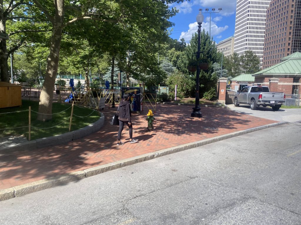
Huh, what’s this? Huh, apparently someone suggested I do the Silver Line’s BRT stations on my next day off. Whelp, stay tuned for Silver Line Way, folks!
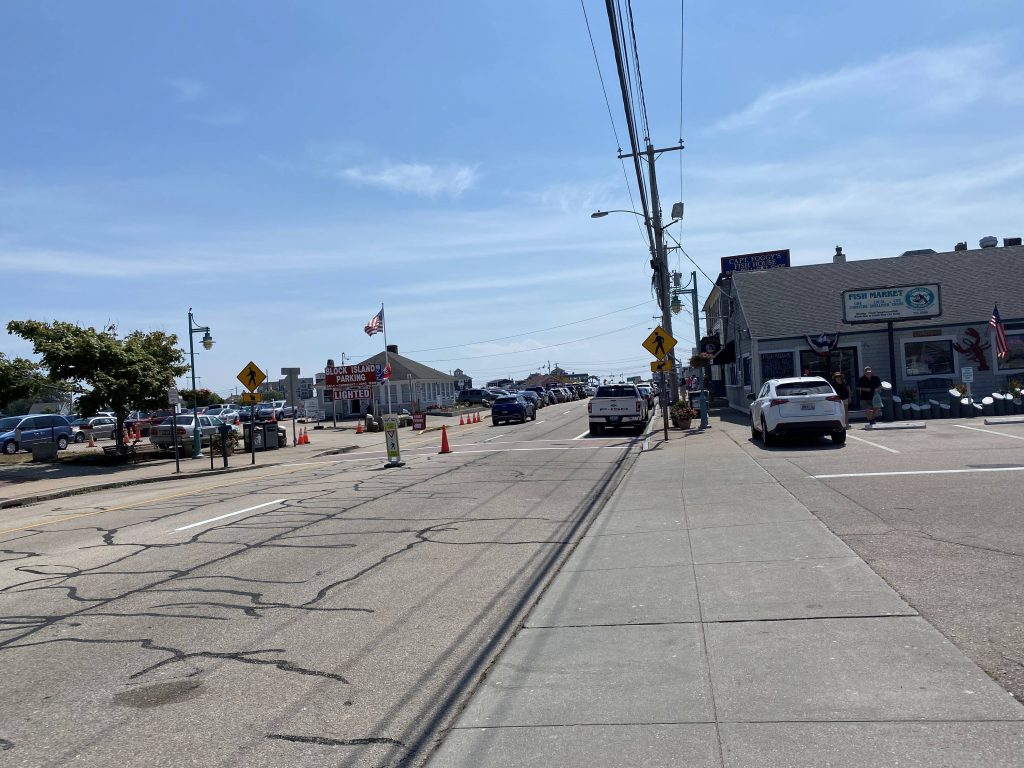
Alrighty, first post in a while! This is what happens when you end up working a poverty job for all of two months – you don’t have money to write about stuff like this. So, the last of the Beach Bus routes, eh? Let’s dig into the sand with this.
Galilee!
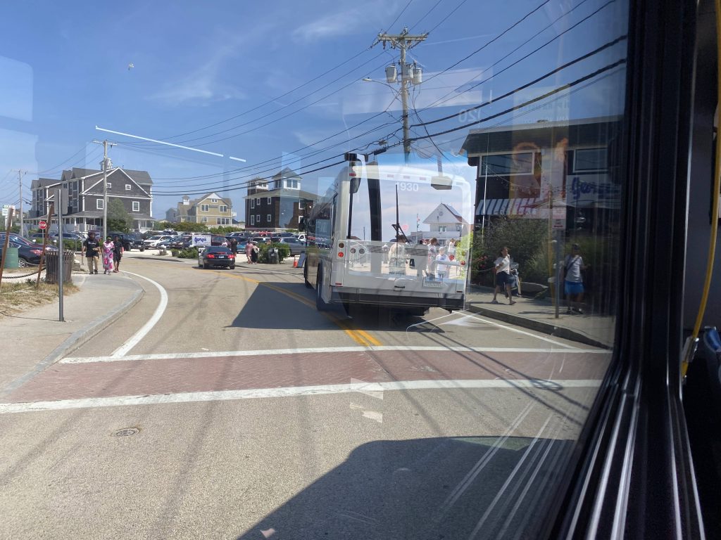
So the journey, just like the last two, begin in Galilee and goes to Salty Brine. Wait, what? People got on! Holy crap, people actually use this! Granted, it’s all of two people but hey, it’s something! So, we progressed, and the driver stopped so a rider can get something that was on the side of a road – a turtle sand pit (you know what I’m talking about). So, after she brought it on and set it by the ADA seating (noone needed them, it turned out), we kept going. Next stop? Scarborough Beach, and OH BOY.
I was on the left side of the bus 🙁Another Beach Bus in front of usAcross from Scarborough!
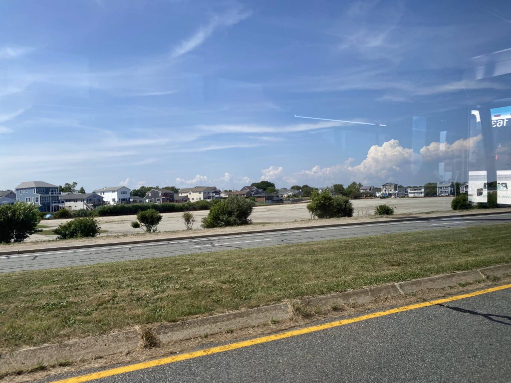
A LOT of people got on. One of them asked if the driver headed to Kennedy Plaza (yes), and about 12 more funnelled in and paid their fares. So, from here, we were off to Salt Pond, and then we began expressing. And express, we did…..
No Wickford today!All the way by Jefferson Boulevard!
We got off at exit 16 onto Elmwood Avenue, and turned right. Wait, the route calls for a very long detour, but the Park Ave. bridge that’s being detoured around is repaired. What shall we do? Well, we detoured anyways. I guess the driver or RIPTA didn’t get the memo.
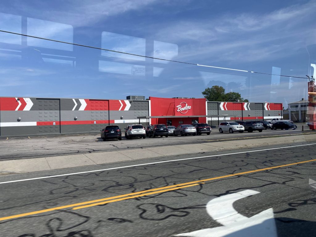
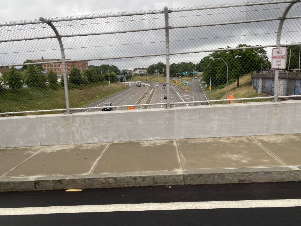
Exit 16!Elmwood Avenue!Bowlero! (wait, wasn’t this AMF Bowling at one point?)No airport today!Ah yes, familiar territoryThe interstate from above!
From here, we went straight down Park Ave. to Cranston’s city hall. No, we didn’t deviate into mayor Ken Hopkins’ office, sadly. However, two people did get off here. Moving onwards, we turned right onto Reservoir Ave., and quickly left the 21 onto Rte. 10….southbound???? Yeah, the routing calls for going northbound here, but we went southbound and up I-95 north to Kennedy Plaza. Weird choice on the driver’s part.
The Park TheaterReservoir Avenue!The interstate!
Wait, why are we deviating?! Oh, right, Kennedy Plaza. By this point, I was the last person on and I told the driver I was heading to North Providence, so he pulled back onto Rte. 10 and kept expressing. Was I the “asshole passenger” of the day? Probably, as I’m sure he just wanted to go home. Nevertheless, we went up RI-10 and US-6, getting off at Killingly Street. It wouldn’t be until long, though, that we joined up with the 27. We continued onwards up Greenville Ave. and George Waterman Road, hooked a right down US-44, and ended in Centerdale.
Kennedy Plaza, almostMore expressness!Killingly Street!A plaza near Greenville Ave.Billboards on Putnam Pike!Look, a Dollar Tree! (even tho it’s the same one from the 57)
The good: It’s a one-seat between North Providence, Cranston, Kennedy Plaza, and the South County beaches!
The bad: Best hope you don’t need a bathroom break.
Nearby points of interest: Rolfe Square, Centerdale, and Kennedy Plaza mainly.
Overall, it’s a decent express. For what it is, it gets the job done and very well at that. I do wonder, if having timed connections with the 27and/or 57 would be better though…
Alrighty, the second of three Beach Bus routes! This one ended up being ridden with my phone being almost dead, so I’ll have to reuse pictures for this post. Not the best way to go, but whatever. Alrighty, so the route is literally the same as the Woonsocket Beach Bus, but instead it’s supposed to skip Kennedy Plaza. It also gets off 95 in Pawtucket. It deviates off I-95 at exit 28, where it then goes to the Transit Center. From there, it follows the 75. That’s it. That’s literally the whole route.
From the Woonsocket post, a picture of a bus laying over in GalileeFrom the 80, not the same street but the interstate from aboveMoney laundering front near the end of the route (from the 72‘s post)
The good: Direct link to Galilee from Central Falls and Pawtucket!
The bad: …it’s a bit long.
Nearby points of interest: Pawtucket, Central Falls, and the beaches of South County. Not much else.
Overall, I’ve seen better. However, this is probably the best you’ll get with a South County/Pawtucket express, albeit with a long run time. At least it’s easier to get out of Pawtucket than it is to leave Woonsocket.
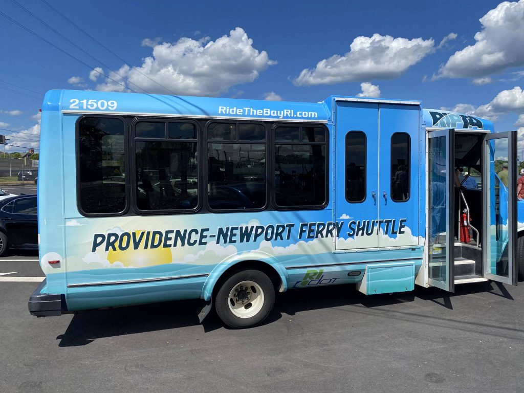
Now, I know, this officially has no number. However, historically, it was given the number “91” and, as such, I’m going off that. I’ll probably have to update it if an actual route 91 becomes a thing.
Onwards!
Well, for one, the driver was clearly jamming out to B101 on the in-vehicle radio. Would I blame him? Not really. So, going from Kennedy Plaza to the ferry terminal on India Street is the goal. From here, the driver basically floored it to the Convention Center and- oh no, not the jiggling.
Oh no.
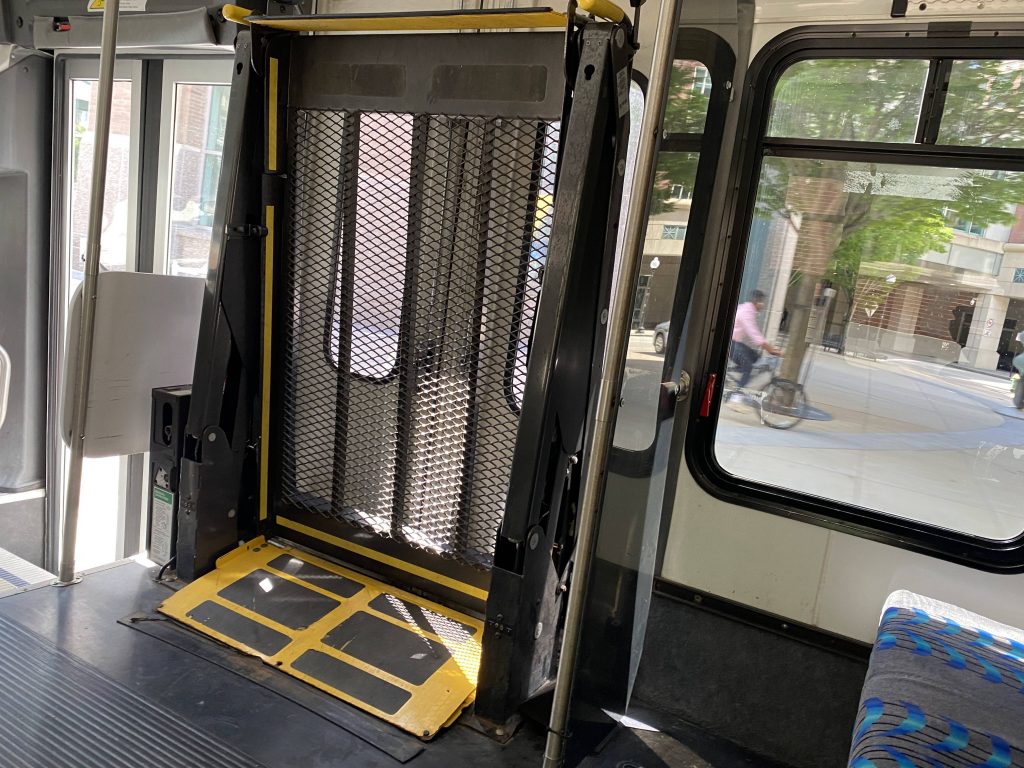
The 2015 model Flex vans didn’t even have this issue, or any Flex van I’ve ridden, so it’s probably just this one model. Still, it was annoying. And, holy crap, it’s got actual ridership. A party of 5 got on the bus to catch the ferry. And, they’d be here the entire time with noone else getting on. From here, we hightailed it down Empire Street and Chestnut Street, and turning left onto Point Street
Crossing the Fox Point Hurricane Barrier, a quick right down South Water Street and to India Street brings us to the route’s end, at the Seastreak ferry terminal.
The city from afarConstruction!The bus – it’s essentially a special-wrapped modified Flex van
The good: It’s a free shuttle (that is, free @ point of use) linking downtown to the relatively isolated ferry terminal! It’s also quite comfy, which seems to be a trend with the RIPTA minibuses (like with Flex, and I presume RIde). I like these buses, I really do. And, given the current economy, it’s a great deal for those looking to leave the car behind to go to Newport. It also times well with the ferries – scheduled to arrive at the terminal 15 minutes before departure!
The bad: Even though my trip’s an outlier, not a lot of people use it. Plus, I feel like more runs could be useful, with one arriving 20 and 10 before a scheduled departure? However, there’s also free parking at the terminal which doesn’t help this shuttle’s ridership. Also, the jiggly wheelchair lift. I hate it.
Nearby points of interest: Downtown and the ferry terminal, really.
Overall, it’s not bad. I like this. I just hope more people uses it over the summer, especially given the current situation with fuel prices. If you’re ever downtown and want to ditch the car, I’d recommend this as an option for getting to Newport.
Say, you know how most express routes generally run mostly on freeways? So, what if you took that, and threw it all out? Well, meet the 61X
WARNING: copious amounts of caps ahead. Read with caution.
Oh god, the headsign is in all caps. That’s always a good sign of things.
So the route, of course, begins with the Downcity Loop and Kennedy Plaza. From here it go- wait, what?! Why are we going back into Kennedy Plaza?! Oh for God’s sake…we’re going into the East Side then, I guess. So, instead of going straight onto I-95 like any sensible express, we go into the dark depths of Providence’s East Side!
Why are we going back into Kennedy Plaza?!Into the depths of Hell, I guess.Weird place to be on an express bus in.
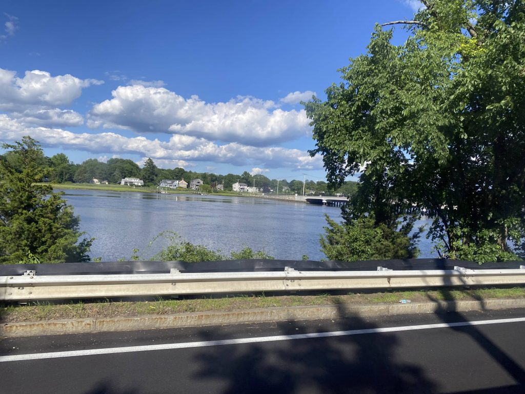
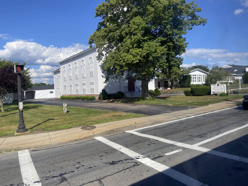
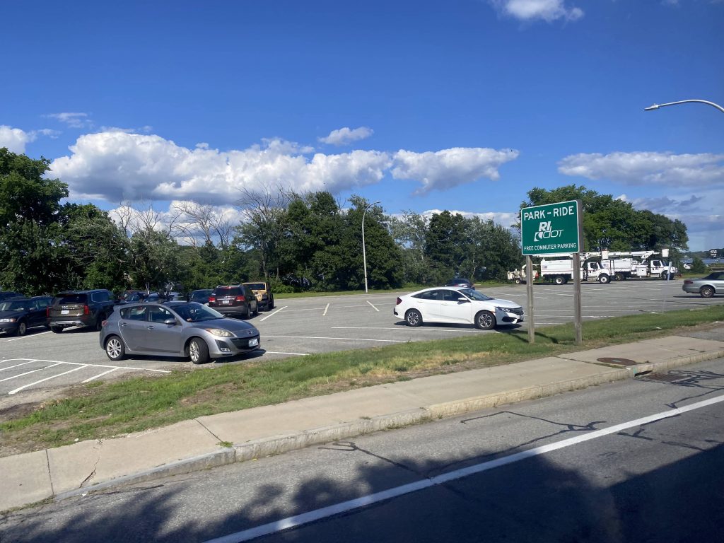
So, we popped out of the East Side tunnel and went down Waterman Street and across the Henderson Bridge like any East Side route. But, we stayed on the East Side expressway to the second exit! Oooooo! From here, we take a right and bisect the bowtie junction of East Providence. We then go left, and left again and HOLY CRAP WE’RE EXPRESS! FINALLY! We then continue expressing down the East Shore Expressway and right into our first park & ride: White Church, Barrington.
More East Side stuff, I thinkScenic!Not today!This is what happens when the good kind of NIMBY has their way.East Providence!Under the bowtie!I-195!A dress shop!Finally, express!!!Down RI-114!An intersectionEmpty freewayScenic!Near White ChurchThe churchThe associated park & ride lot!
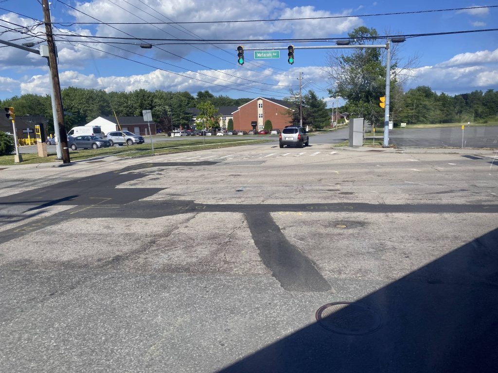
The route then largely follows the 60 through Barrington and Warren. However, past Police Cove Park, the route goes left down Franklin Street and towards another park & ride lot, not served (but within walking distance) by the 60. Further up the street, and a right turn later, we were on Metacom Avenue.
BeautifulMore water?!Some stuff in WarrenAnother park & ride!Metacom Avenue!
From here, it was largely a straight shot down Metacom Avenue, passing by bogstandard houses and businesses. Sadly, none of the historical town center stuff that the 60 gets. Not that it matters. Also, why isn’t there a non-express Metacom route?! I mean, I’m sure the 60 used to come down here, but like, why isn’t there an abridged version of said route? I’ll get into details later. After a long ride down Metacom, we finally reach Roger Williams University …with an announcement for Tower Hill Road and Phillips Street? Wait, are we in Wickford now?! The driver then asked me if I was going all the way to Tiverton. I said no, since I needed a way back without the risk of being stranded. And, it was at the Boyd’s Lane park & ride that the trip ends. However, I have been to Fish Road before, on the 24L. That’ll be the last pic among the ones below.
yawn.Bus shelter largely unused throughout the day.Oh my, more houses!Oh my, an empty car lot!A field.A shopping center. There was a Stop&Shop on the other side, if I remember right.A fire stationDunkin’!More of the sameAn apartment complexRWU!See ya!Woah.End of the line (for me)The true end of the line
The good: It’s a sorta-express link to Providence via the East Bay and Tiverton! There’s also an early morning and early afternoon reverse trip (outbound am, inbound pm) that serves TPI Composites in Swansea, MA. Speaking of which…
The bad: Why are the reverse runs more express than the normal ones? And no, I’m not doing a part 2 for those runs. Furthermore, why does this route, not the 60, go through the East Side and East Providence?! Just, why?! And plus, stop X is literally where it is for a reason – SO ROUTES CAN JUST FREAKIN’ PULL OUT STRAIGHT ONTO I-95 INSTEAD OF BANGING A U-TURN TO GO INTO THE DARK FREAKIN’ DEPTHS OF THE EAST SIDE! At this point, just have a Metacom-centered route that connects at the Boyd’s Lane park & ride, and at the Shaw’s in Riverside at the 33’s terminus. Shoot, forgot I had bold/italics on for all that. Oh well. “Oh but they did it to consolidate the 60” you might say. WELL WHY DIDN’T THEY MAKE THE 60 LESS EXPRESS THAN THE 61X?! THAT’D BE LIKE IF THE 95X RAN LOCAL ALL THE WAY DOWN THROUGH CHARLESTOWN AND WAKEFIELD INSTEAD OF DOWN I-95 CLEANLY.
Nearby points of interest: Tiverton….with little in the way of getting out, save for the 24L (if you can time it right). There’s also the stuff along Metacom, which should be served regularly instead of weekday peak-only.
Overall, what were they thinking with this?! Like, it’s hardly express, and the route it’s supposed to be more express than, is more express than this! What the hell, RIPTA?! Here’s how I’d fix this. I’d make a route that terminates at the Boyd’s Lane park & ride lot, go up through Metacom Avenue, deviate into Stop & Shop along with Job Lot, and go down Market Street (saving Franklin Street for the 61X only). Then, go up RI-114 to the Shaw’s plaza and either end there, or keep going up and go down Willett Avenue (U-turn required) and end at the Shaw’s there, providing a connection to the 33 (Riverside)33. Call it, I dunno, the 36 or something. At least it still serves an important purpose, being to link Tiverton and Little Compton residents to Providence via transit, given that area is largely forgotten about in state politics.
Alrighty, just like the 60, there’s also an alternate path that’s significant enough on the 14 to warrant a part 2. This time, we start at the park & ride at RI-138.
Rte. 138 – no express today!
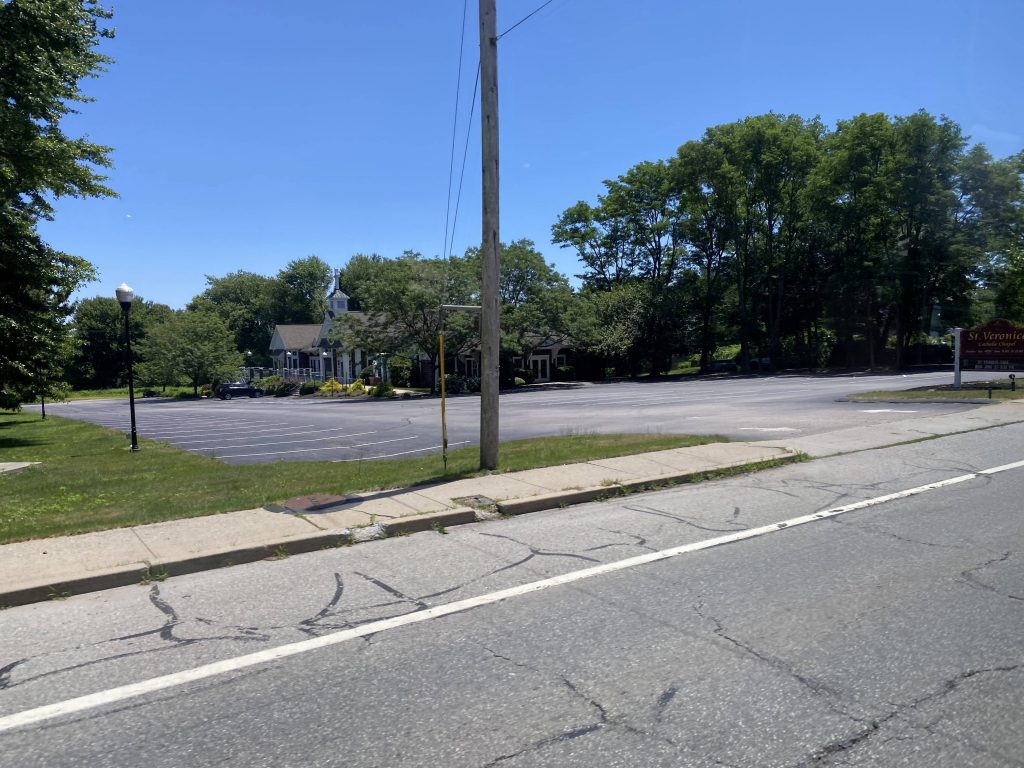
The route splits off by not going express, but rather going straight down Boston Neck Road further. It’s still rural with some houses here and there, and unlike the 64, we got to skip the URI Bay Campus deviation. We kept running express-like, heading down Boston Neck Road and the various buildings along the road. We crossed the water and OH CRAP THERE’S A BEACH?!
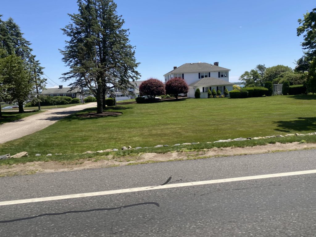
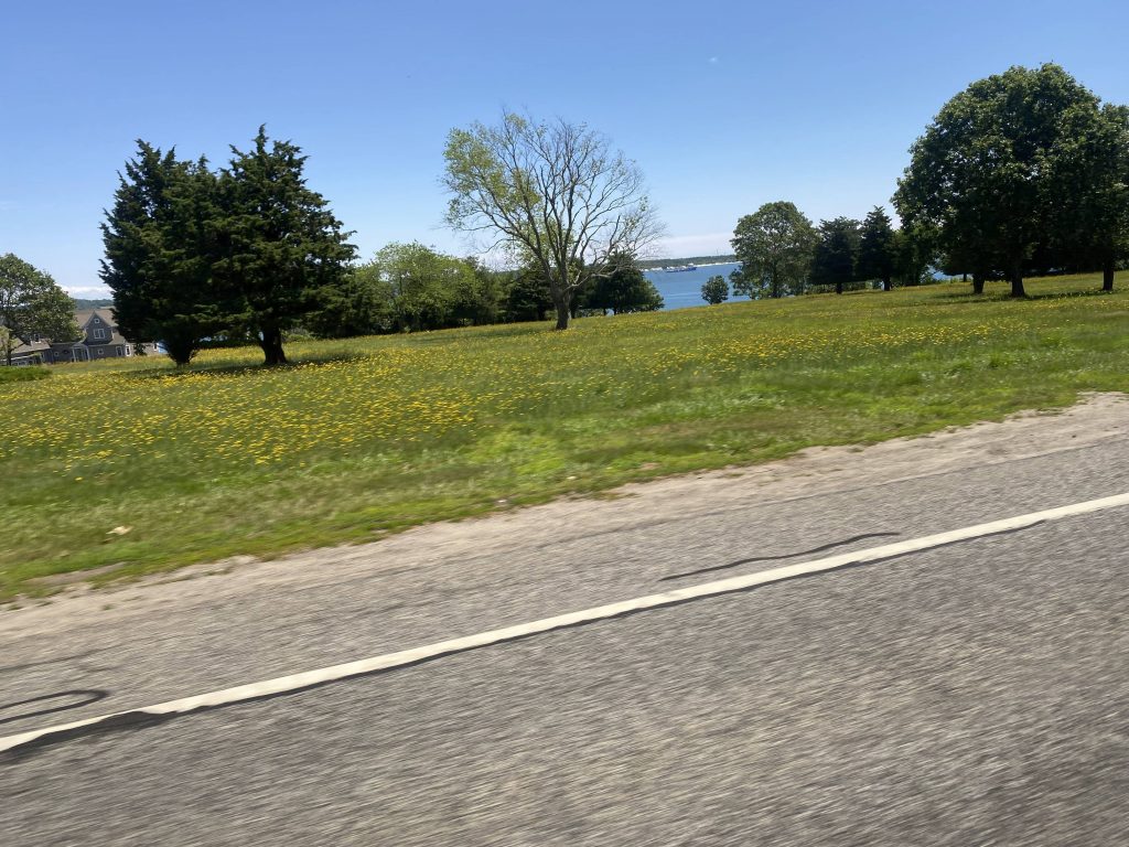
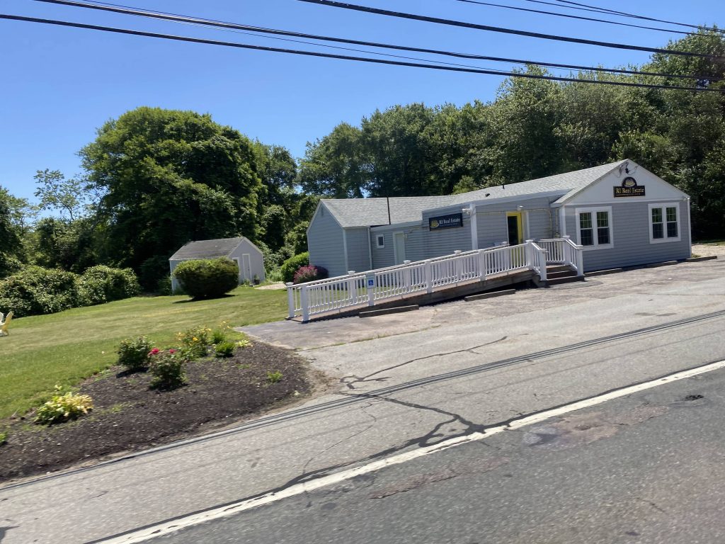
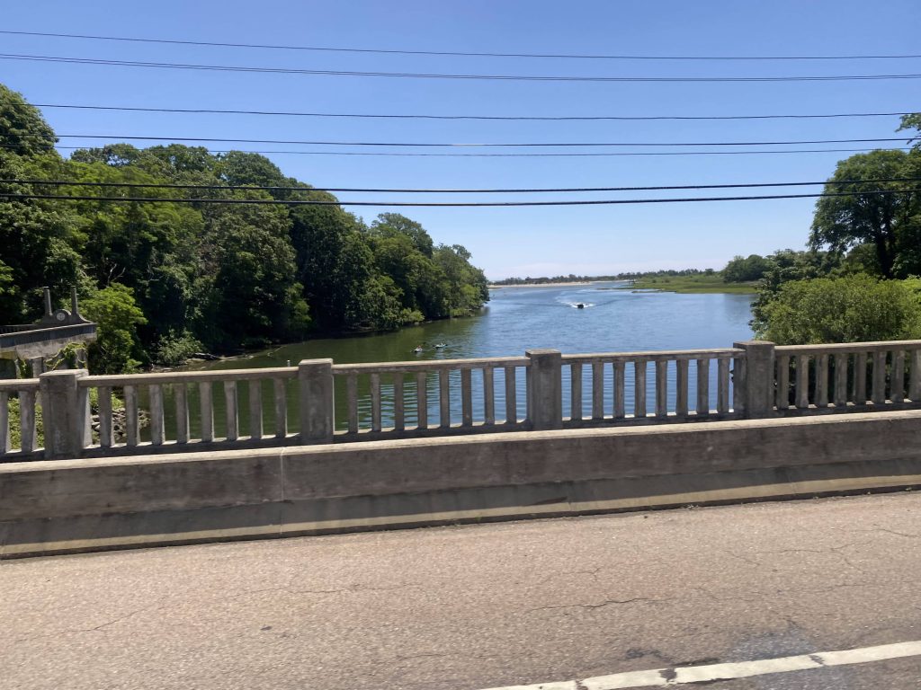
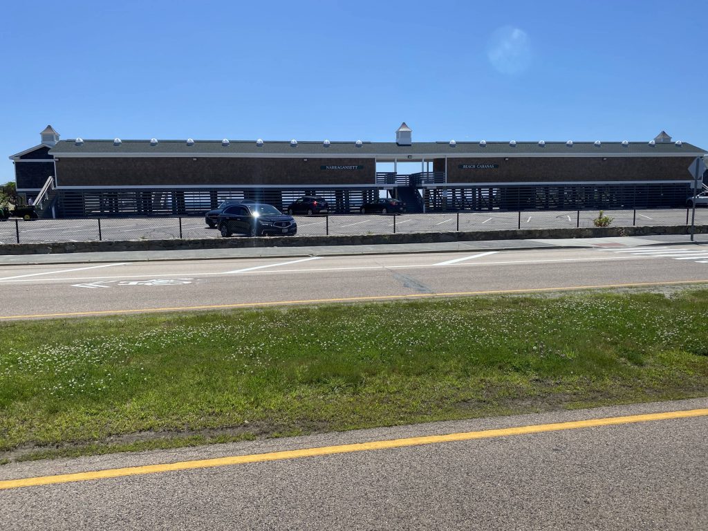
Rural housingOcean!Weird spot for a shelter, but okay.Cumby’s!A church!Bonnet Shores is down here. Rich people too, probablyAn empty parking lotThis may as well be a McMansionMore ocean!A real estate officeNearing Narragansett!Narragansett Beach!There’s “The Towers”, apparently the remnants of an old casinoSome housing in the areaThey apparently want a library hereIdk what this is. Housing, probablyAnother side streetThe end of the route (or rather, just before it)
Yes, we entered Narragansett Pier. And, in fact, it’s among the most popular beaches in RI. However, we didn’t go through the coastal part, and instead we took a couple of turns through side streets. From here, we turned onto South Pier Road, which then emptied out at the route’s terminus at Salt Pond Plaza, in Narragansett.
The good: Aside from the stuff specific to the shared section, it’s a direct link between the park & ride and points north to Narragansett. It also serves one of the most popular beaches in the state!
The bad: Two hours between buses on weekdays?! With only a handful of trips on the weekends?! Yikes. On Sundays, these runs don’t even run at all! It’s also the longest regular-running route in terms of runtime.
Nearby points of interest: Narragansett Pier is the big one!
Overall, it’s nice that a link to Providence exists that doesn’t involve URI. Hell, there’s one trip each way that comes here that involves a deviation into the Greenwood Church up in Warwick. Or maybe that was a Newport trip, I don’t remember. If anything, I’d turn this one into a Wickford-Narragansett route, and re-route the Newport runs to go through Wickford Junction. It’s clear that one’s the more frequent route, while Wickford to Narragansett could be its own route.
Rating change from original (Newport branch): 4/10 (-1 point)
Oh no. No. Not the 63. As Miles put it in his post, it’s the “drunk snake” of Newport. And, after riding it myself, I have to agree. One could also call it “whiplash central” with how many times it bends.
Clearly this is at a park.Houses somewhere nearby.
I honestly don’t even know where half these pictures were, because the route is so disorienting. So, I guess it’s time for me to get started with describing it. Outbound, it starts at either Stop & Shop on West Main, or at Oxbow Apartments a block up the street. Now, not all trips serve Oxbow, and barely any serve it on the weekends. And even then, not every trip deviates INTO Stop & Shop. Yikes.
Still don’t know where this was .-.
We’d eventually turn onto Coddington Highway. However, outbound trips, for whatever weird reason, instead turn right and left onto EAST Main. What?! Then it’d go down Valley Road onto West Main. Like, what were they on?! Was a simple left onto West Main not good enough?! Well, whatever, going down Coddington Highway, we …deviated into the Newport garage?! Oh come on! Oh, it’s a shift change. Understandable.
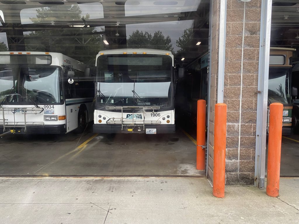
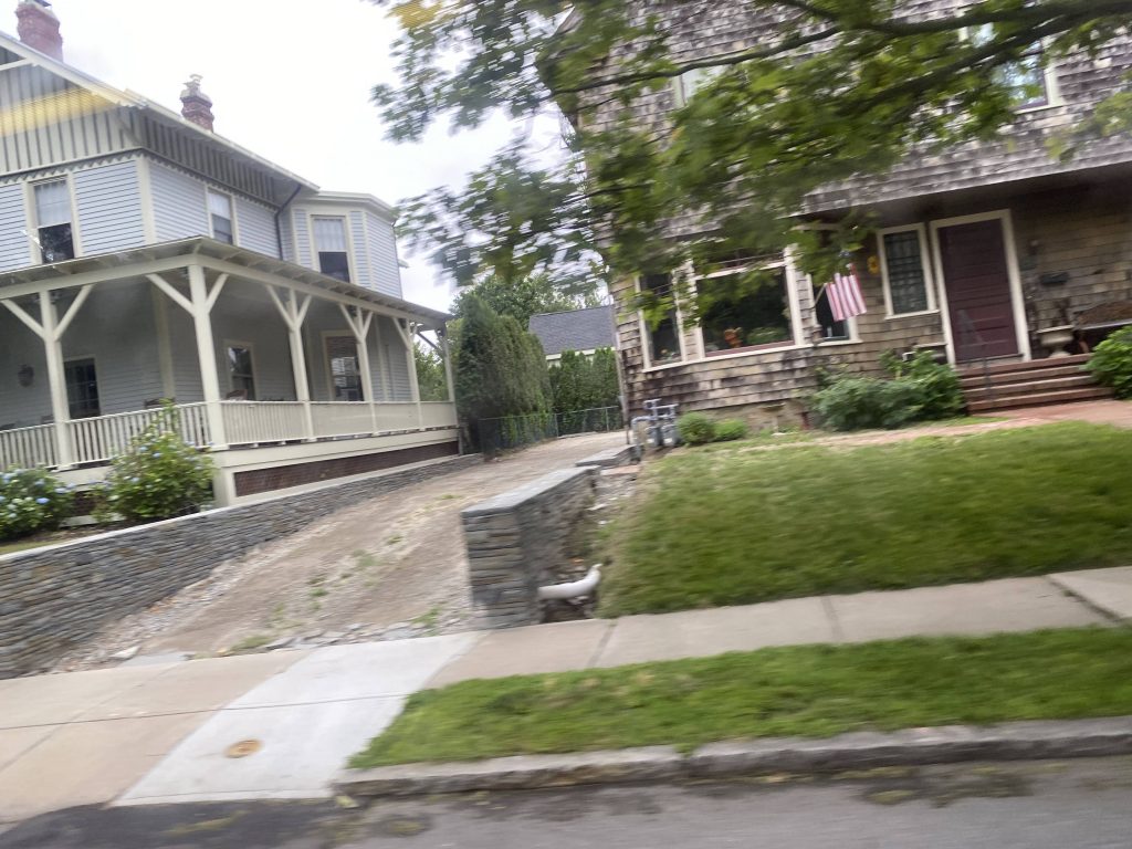
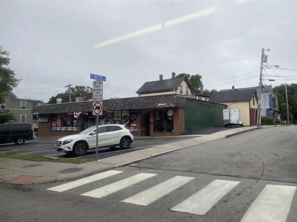
I think this was nearby.One of the streets.Home Depot and a Dollar Tree!Some apartmentsThe library, probablyOnto Coddington Highway!Looks top seeeeeeecret#s 934, 1906, and 1010!
We then pulled out with a new driver and the real fun was about to begin. We passed the Newport CCRI campus like normal, then deviated into Town Centre. It was here the fun began. We went in a complete circle, 3/4 around a roundabout onto Admiral Kalbfus Road, then we went in what was essentially a U-shape to serve the road behind the Newport CCRI campus. Yeah. This route can’t make up its mind, other than wanting to give whiplash.
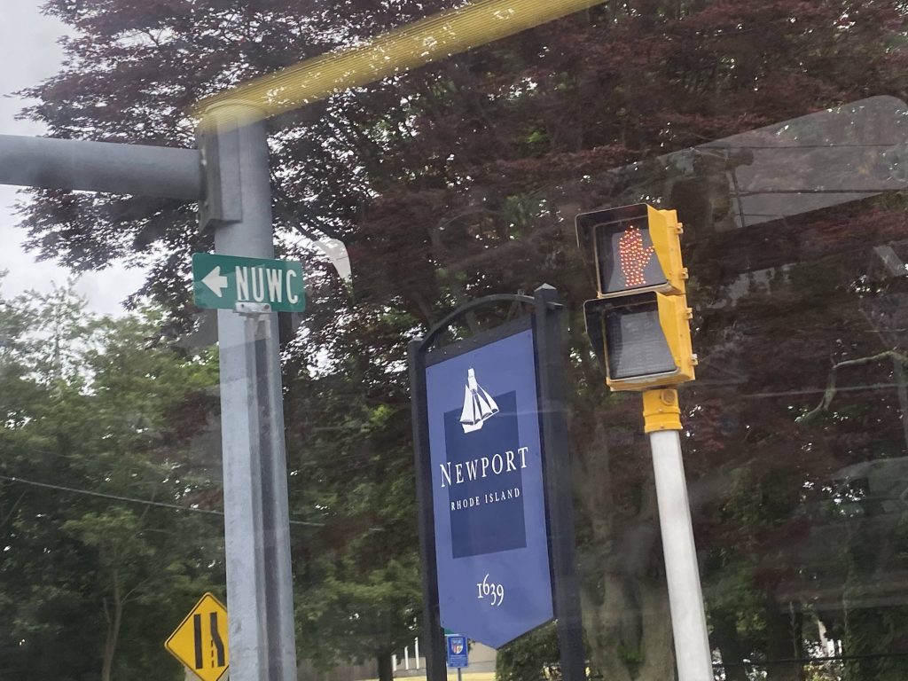
Grass.Same Tree as from the 64!Unionize!No express for you today!An apartment complex!Behind CCRI?!The same park from earlierWhat’s “NUWC”? Is that some curse word?Broadway housing!They named a street after Bill and Hillary?!
We were then on Broadway, and it was a straight shot to the Gateway Center, hopefully. And, indeed it was. It was a straight shot to the Gateway, thank God, and the painful route has ended.
No LGBTphobia allowed in the comments!ADA parking?Near the Gateway Center
The good: It serves quite a bit, along with a number of apartment buildings. Plus it’s the most-used exclusively-Aquidneck route with 720 daily riders as of 2019.
The bad: …why is it so damn bendy?! WHY?! Never mind that, why does not every trip deviate into Stop & Shop, and not every trip go to Oxbow?! Furthermore, why is East Main only served outbound? And, the biggest headscratcher is this: Why is there a Saturday-only, outbound-only deviation to West House?! Who’s gonna use that?!?! And why is the route so freakin’ bendy?! Also, Sunday service kinda sucks, with only six(!!!!) total round trips, spread out every 85 minutes!
Nearby points of interest: CCRI, mainly.
Overall, it is, as Miles said in his take of this route, a drunk snake. More like freakin’ Whiplash Central! I hope it gets straightened out (quite literally) in the future.
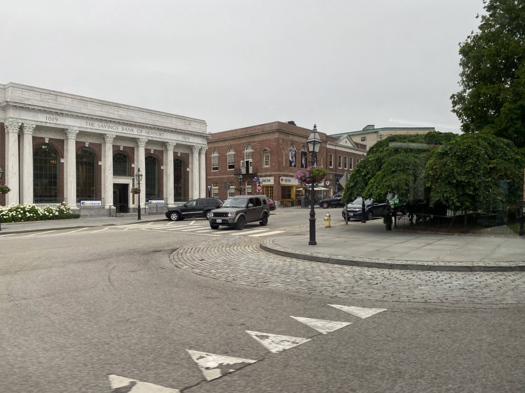
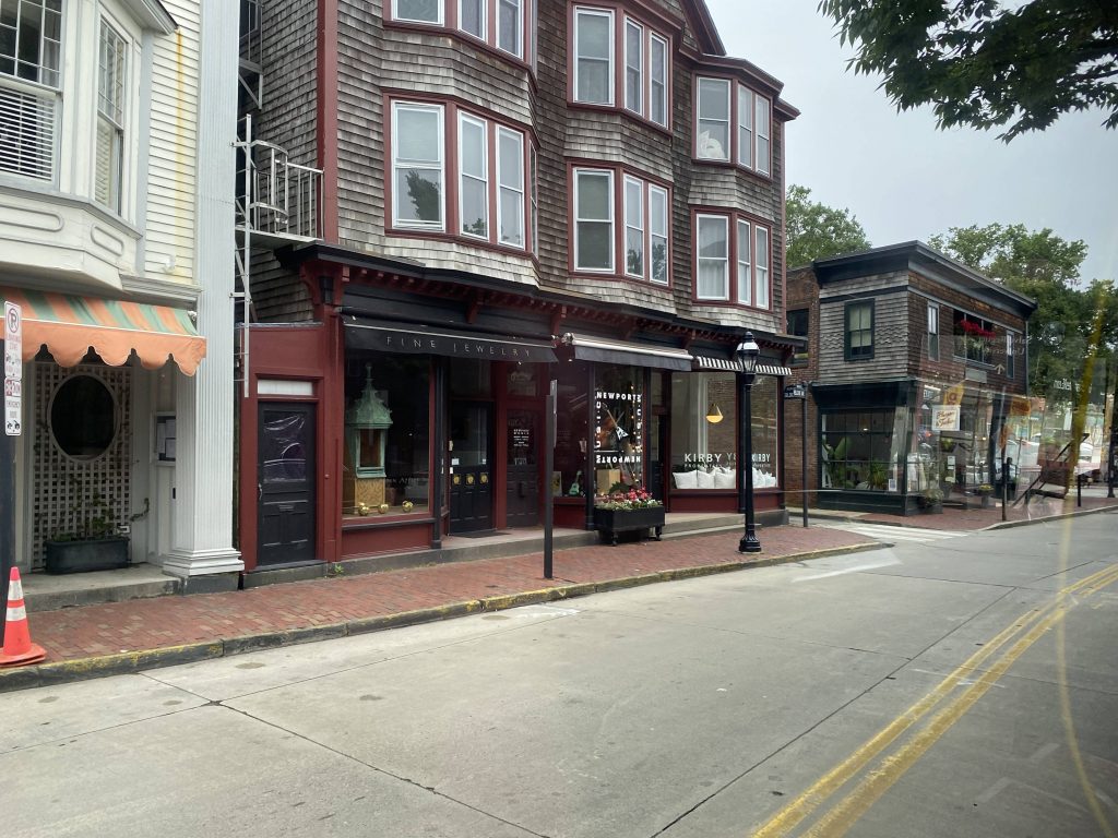
Alrighty, so you want to take a tourist trolley in Newport? Well, this would be your go-to. Think of this route as “What if RIPTA ran a literal tourist trolley?”, because that’s essentially what it is.
Onwards out of the Gateway Center!
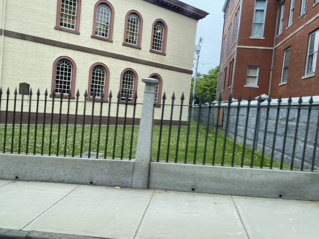
So the route begins like the other Newport routes – out of the Gateway Center. From here, we went right and onto Marlborough Street, only to go down Thames Street. From here, we went down Touro Street and past Touro Synagogue. Fun fact, that’s the oldest synagogue in America! We’d then turn down Bellevue Avenue, where we’d largely stay for the rest of the route.
Not very historic.A little better.Not the best photoAn old houseOne of the many sights near Bellevue!
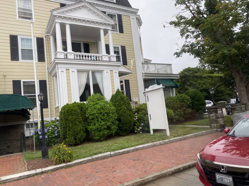
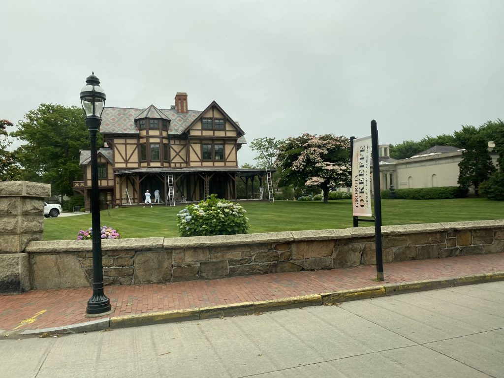
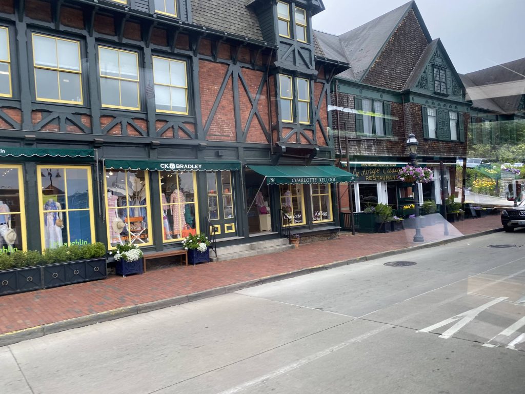
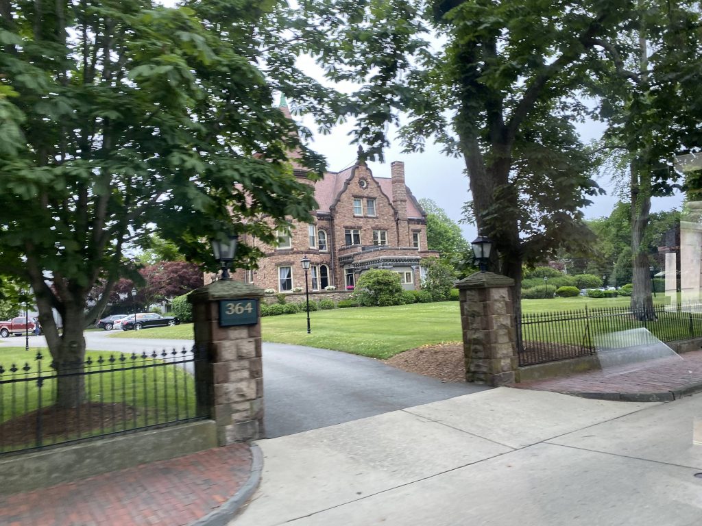
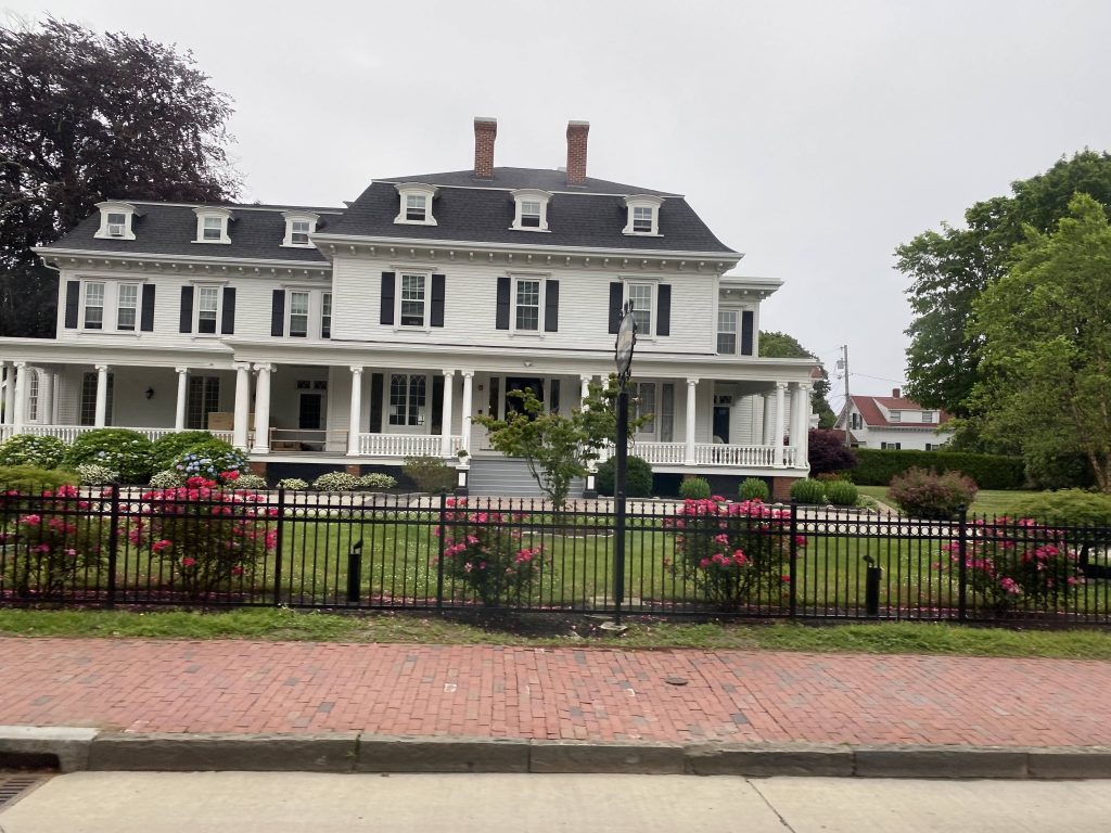
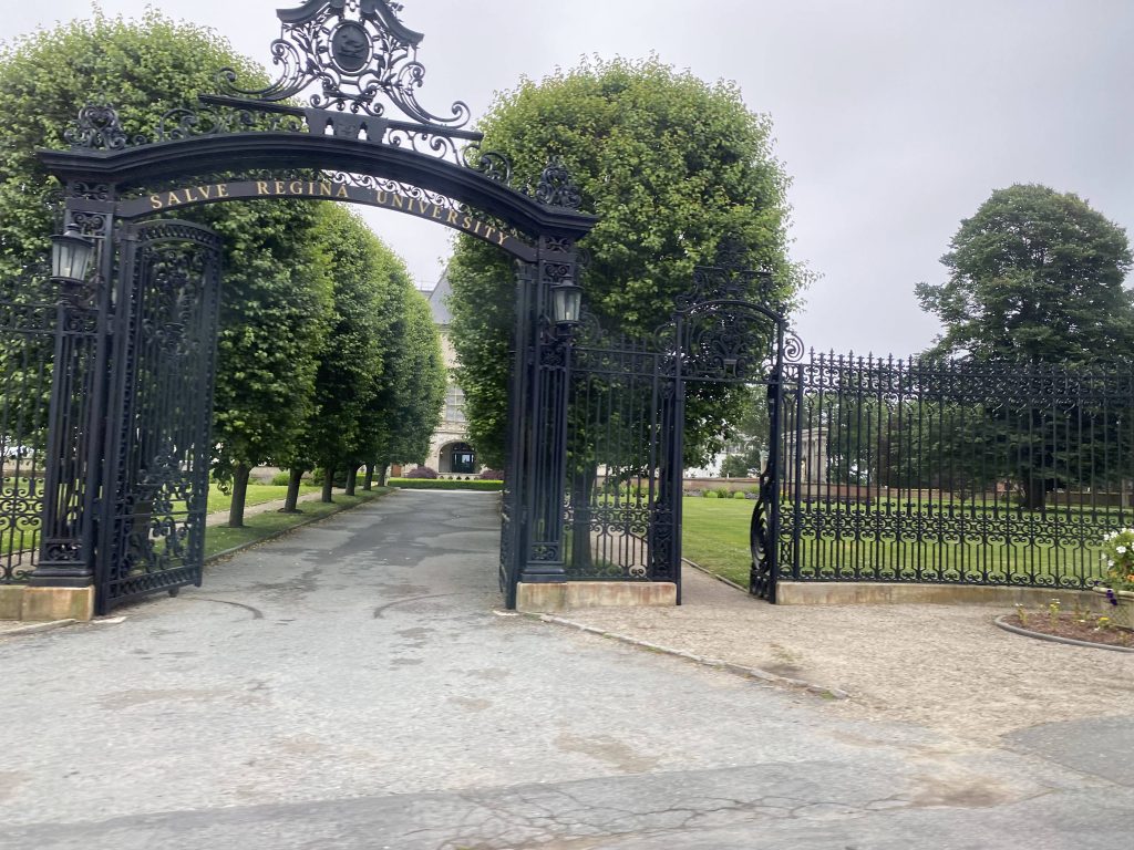
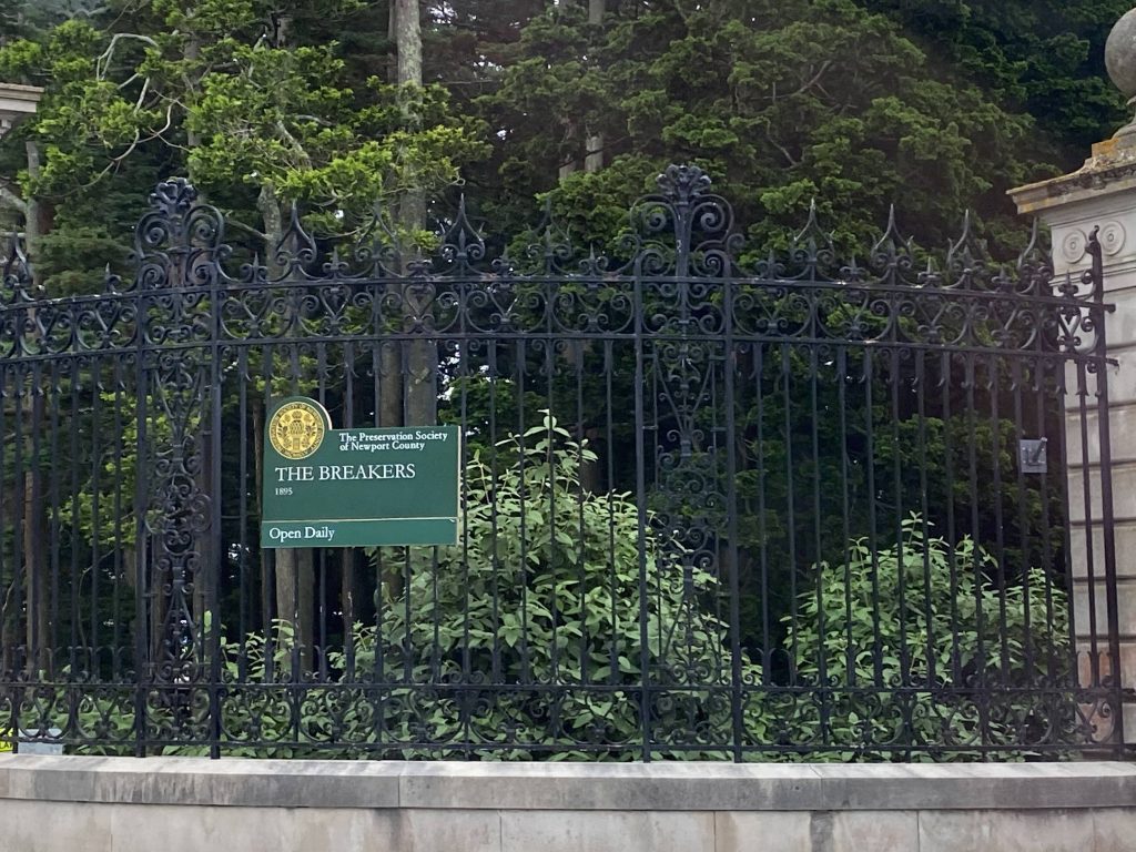
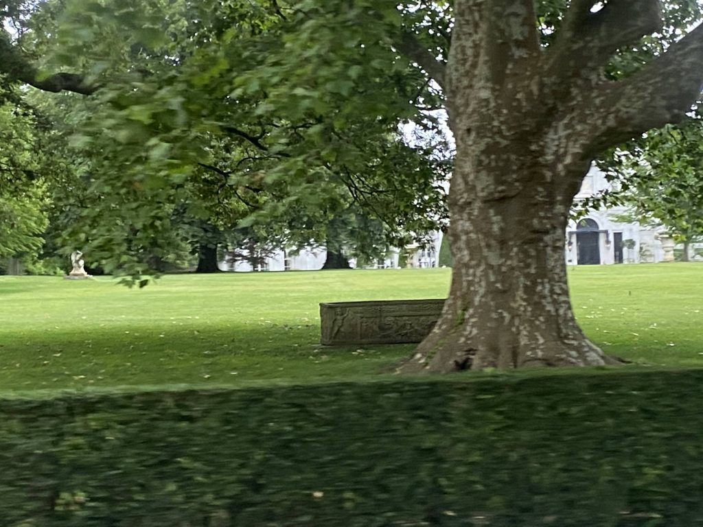
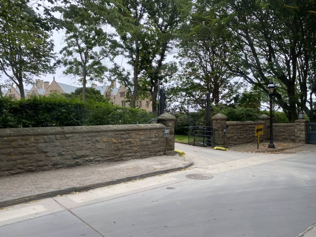
Going down Bellevue, past the shopping and Tennis Hall of Fame, it was filthy rich. Like, I mean $$$$$ levels of rich. Yeah. Fortunately, we did pass some tourist spots. Namely, they were the Breakers, the Elms, Rosecliff Mansion, Rough Point, and the Marble House. The end of the line was marked by the southern end of the Cliff Walk. Salve Regina University was also mixed in. However, unlike normal outbound termini, we were allowed to stay on the bus for the return trip. The driver was also largely a tour guide of sorts, in a way, and stopping at all the major tourist attractions. See why I called this a literal tourist trolley but instead operated by RIPTA?
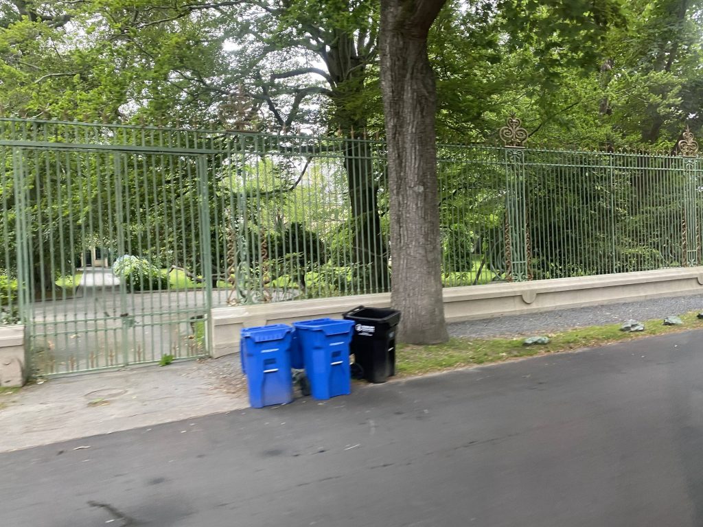
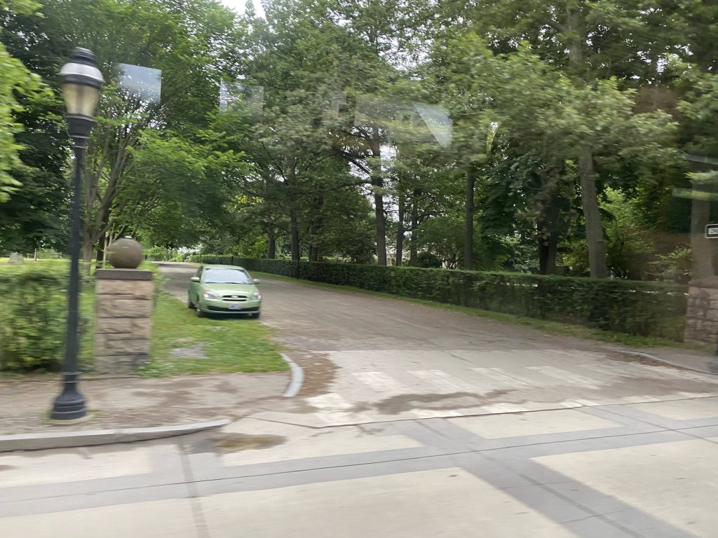
More businessesNear the Tennis Hall of FameMansions! I think this one houses an actual personFancy!Not so much.Salve Regina!A sign for the BreakersA side streetAnother mansion hidden awayAnother one!End of the line!Oh look, another bus!
The good: It’s a direct link between the Gateway Center and the mansions! This area’s quite the hotbed for tourism, especially during the summer months! In fact, the bus was almost packed with tourists both ways. It’s also frequent enough to be designated a key corridor, being every 20 minutes, and every 15 on weekends. Ridership is also pretty good during the tourism season, with most buses being packed full of tourists.
The bad: …pretty much noone rides this during the winter, which raises question to the 20 minute frequency. Is it really necessary, now that they did away with the seasonal restriction? Who knows, maybe I’m wrong.
Nearby points of interest: …really? You’re really asking me this for a route literally targeted at tourists?! Well, since I have to fill out this section, I guess I gotta give the “no shit, Sherlock” answer of “the mansions”. There.
Overall, it’s a pretty good route. Among the best in the system especially for what it is, being a tourist-first route. It’s also quite nice how the fares are free (paid by the city’s tourism board) in hopes of improving ridership and alleviating worries of gas prices. If you’re in Newport, give this one a go. It’s a pretty good tourist-oriented route.