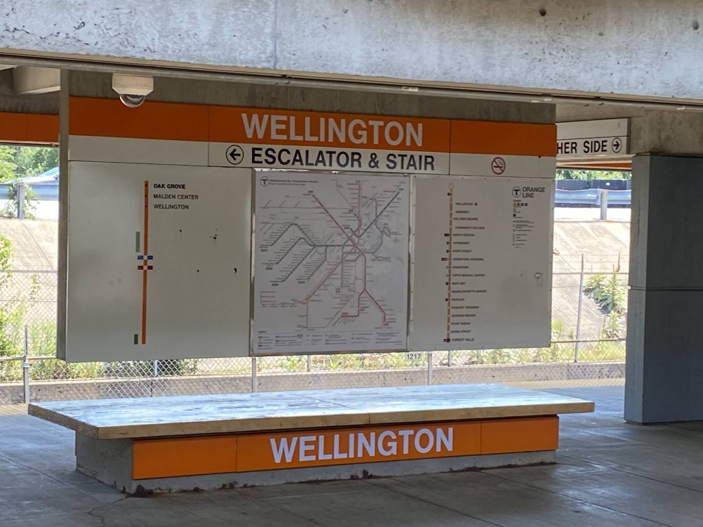
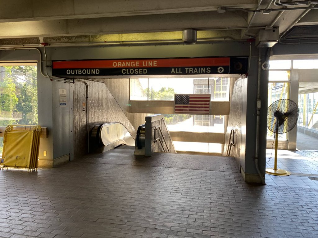
Alrighty, coming off the heels of a bunch of Green Line stations, we now have an Orange Line station! Wellington? Well, why not?
Helvetica bold!
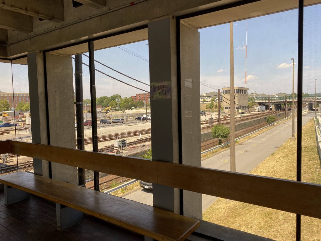
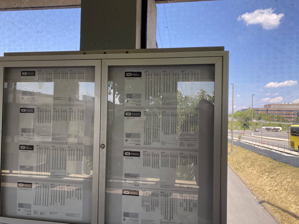
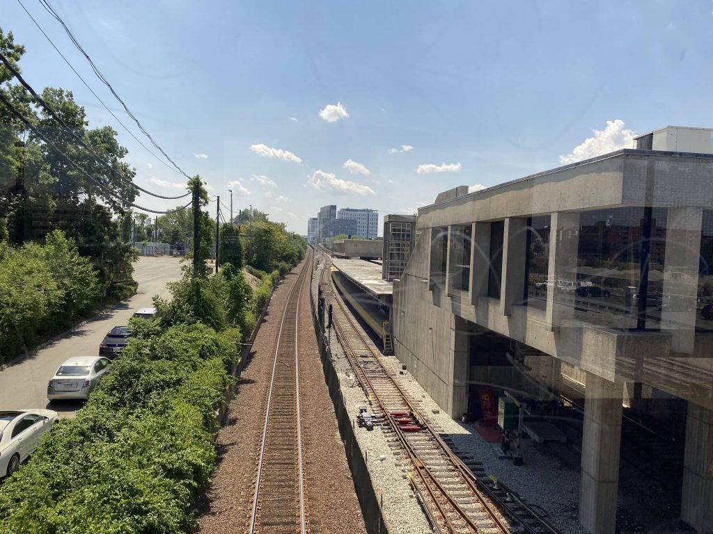
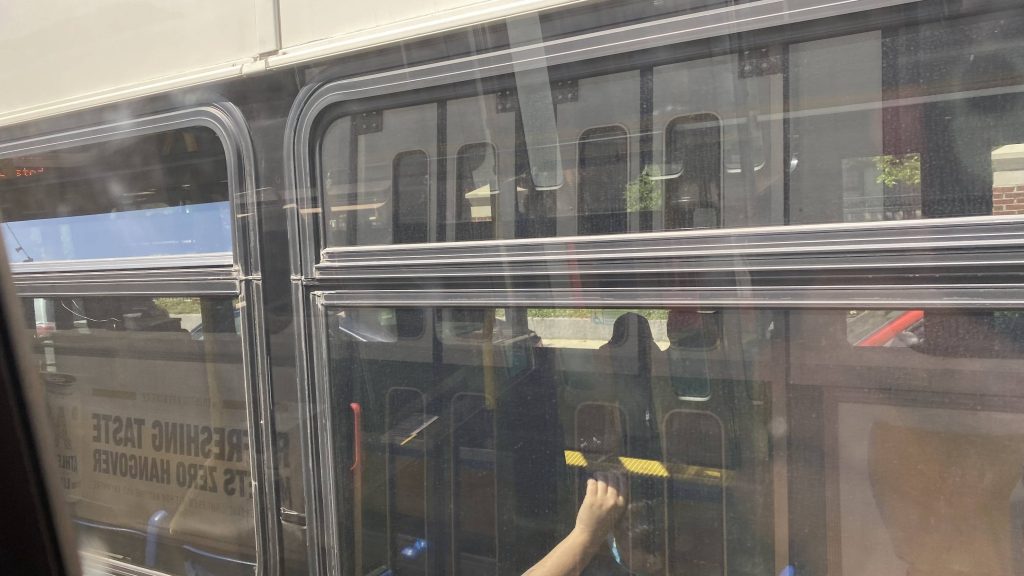
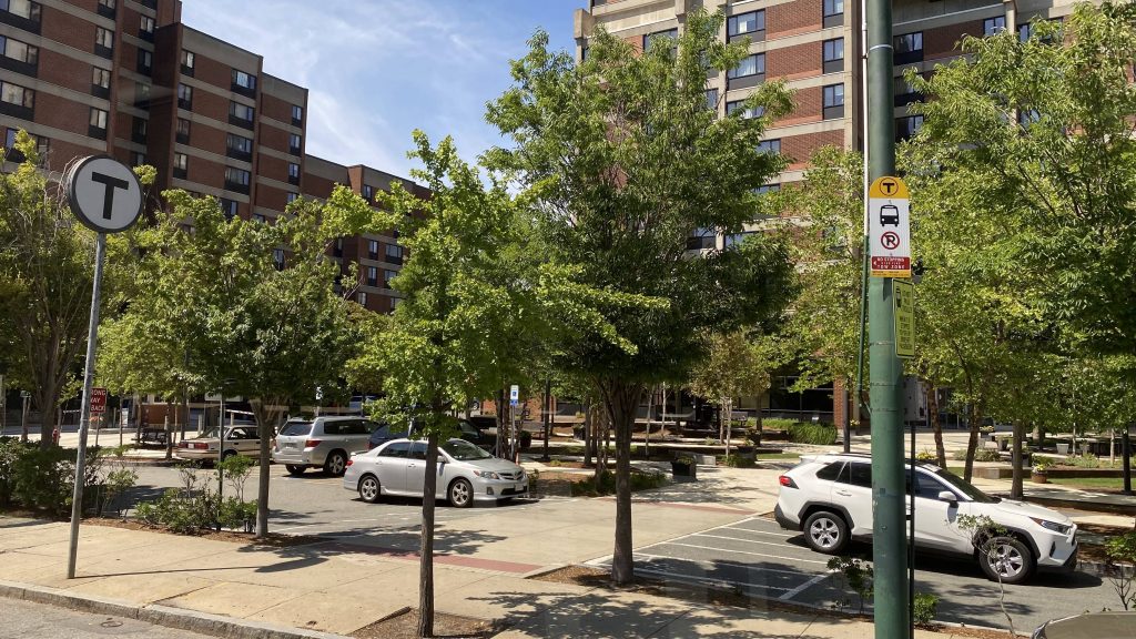
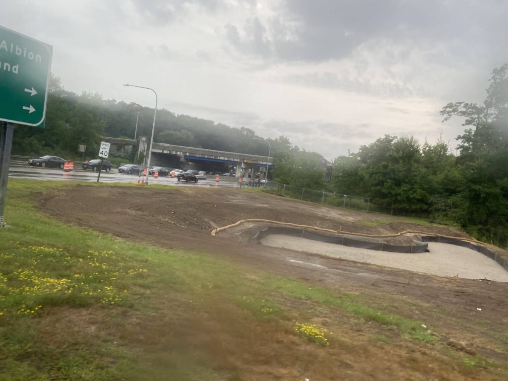
So, the station is largely linear in nature. You have the busway where all the buses drop people off. There was also a Commuter Rail bustitution when I came here with a friend, so it was more crowded than usual. This ended up hindering my ability to take pictures. However, you have a set of stairs (and I presume an elevator, as it’s an accessible station) going up to a footbridge. Underneath? The Haverhill Line and the northbound Orange Line track. In the mezzanine, a walkway crossing the Orange Line yard can be found, along with CharlieCard machines. There’s also bus schedules for the various bus routes stopping here.
Looking outsideLook, bus schedules!Wait, the Haverhill Line is single-tracked?Closed?!The southbound Orange Line track
The good: This station is clearly heavily used. It’s no Downtown Crossing or Park St., but it definitely felt crowded. However, if headways were normal with the Orange Line, I’m sure it’d be a slightly better situation. There’s also plenty of bus service, and the station layout is largely straightforward. Oh yeah, apparently a Transit Ambassador was letting people into the Orange Line platform for free, likely as part of the Newburyport/Rockport bustitution. For train nerds, you can also see a whole bunch of Hawker Siddlies from the walkway connecting the station to the parking garage, as this is where the Orange Line maintenance facility is.
The bad: I mean, it’s not a very pedestrian-friendly area. It can also get a bit crowded on the Orange Line platform during rush hour.
Nearby points of interest: I mean, there’s a few hotels and shopping centers – if you’re willing to torture yourself.
Transit connections: Orange Line MBTA bus (97, 99, 100, 106, 108, 110, 112, 134)
Overall, I like this station, moreso than Heath St. Yes, it’s simple, but simple isn’t bad. It’s also largely a straightforward station to navigate with little in the way of making mistakes (e.g. going to the wrong platform can be fixed by simply rotating yourself 180 degrees). It’s also a decent park & ride, but I’d imagine the long walkway can be a pain if you regularly commute to/from here. Oh yeah, apparently an old Hawker Siddley train bursted into flames a week or so before writing this just south of here, too.
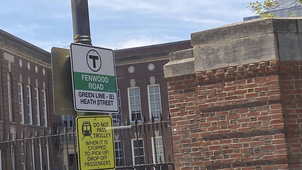
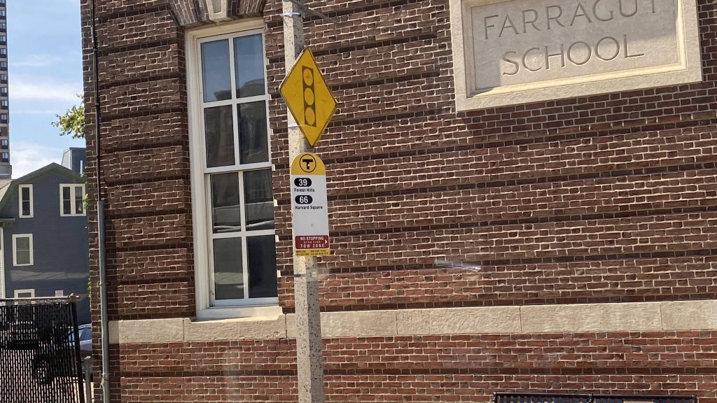
Alrighty, so we did Heath Street, what about the stops in mixed traffic? Well….
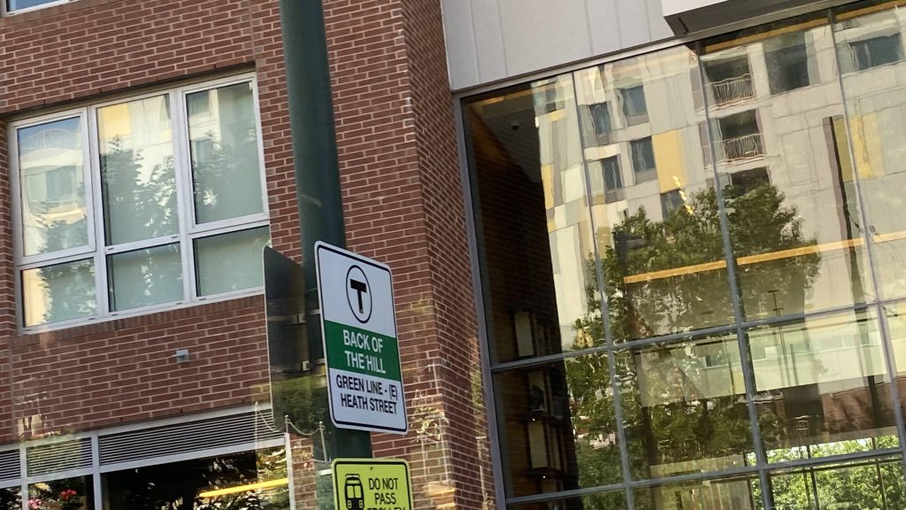
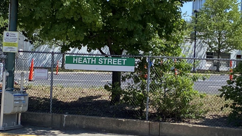
Fenwood Rd.Yup, all these are also bus stops for the 39.A passing bus (the 66)Mission Park. What a weird-looking MBTA logo.Riverway! Not to be confused with Riverside on the D branch.A bus shelter!The least-used “station” on the entire MBTA system – Back of the Hill!See that? That’s Heath St., 30ft away from Back of the Hill!
The good: Ummm…., it serves a bunch of apartments?
The bad: These stations are unsafe! Unsafe enough to where people have been HIT BY VEHICULAR TRAFFIC when deboarding the Green Line at these stops! That’s even worse than Back Bay’s risk of black lung!
Nearby points of interest: Just use Heath St. instead, if you can. Or, Brigham Circle, if you’re closer to that. Or just use the 39 at these stops instead. I mean, there’s also Back of the Hill if you want to visit the least-used MBTA rapid transit “station”.
Transit connections: Green Line (E) MBTA bus (39, 66)
Overall, just, just don’t use these stations unless it’s a last-ditch effort. Or, if you have to, just take the 39 instead, as at least that can pull over to the stop for you.
Alrighty, so from one Green Line terminus to another! Let’s take a look at Heath St.
Helvetica Bold!!!
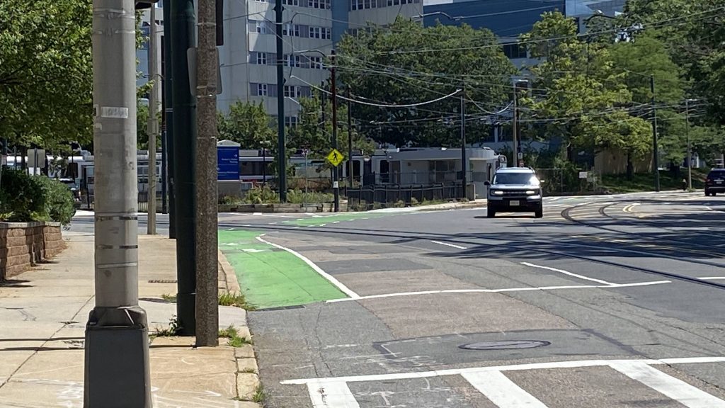
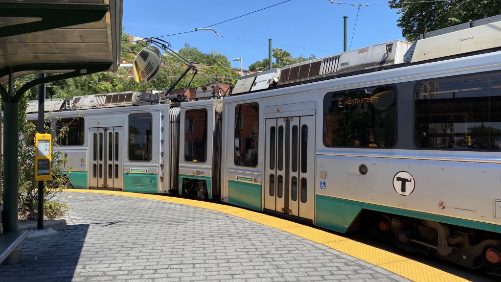
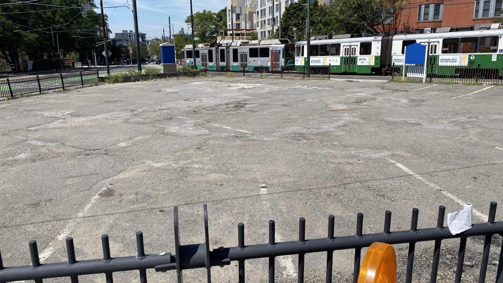
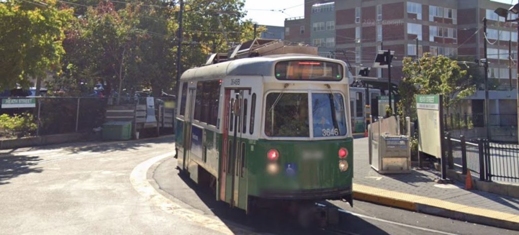
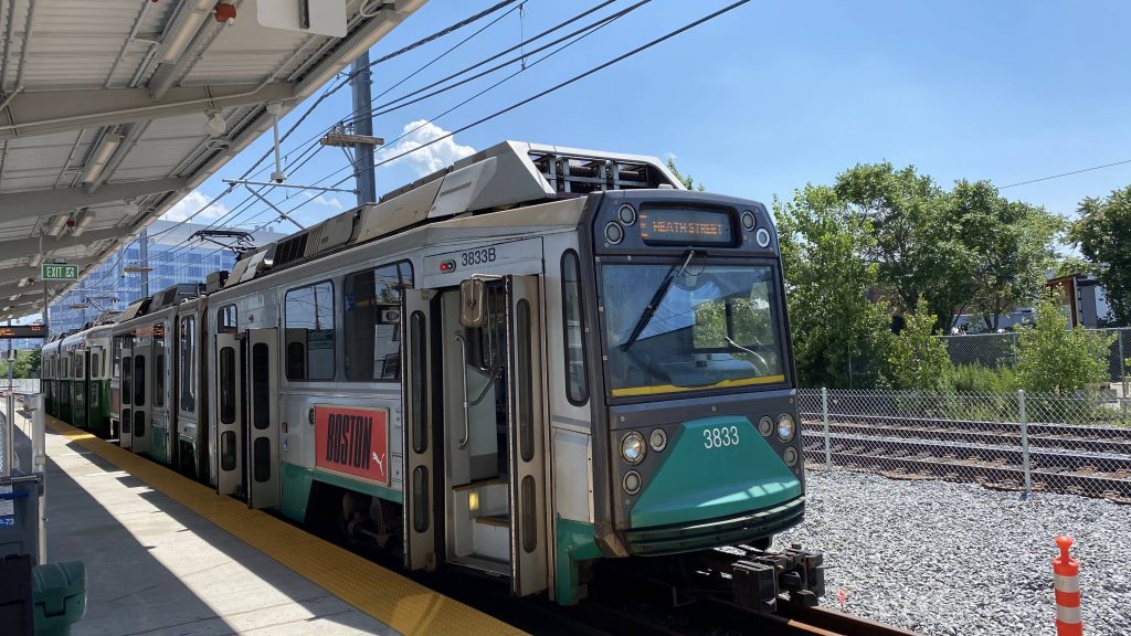
So, the station layout is pretty simple. You have a platform on a balloon loop. There’s also a shelter on one side, and a parking lot in the middle of the loop. Overall, this station definitely follows the KISS principle (keep it simple,silly), and sometimes that’s all you need for a decent enough station. However, all the trains do NOT board/deboard on the side with the shelter. Yeah…
A Green Line train turning aroundThe parking lotThe inner platform for Heath Street with a Type 7/8 duo
The good: It’s pretty close to where people would want to be, with a school and the V.A. nearby.
The bad: I mean, if you’re willing to walk, the Orange Line isn’t too terribly far away (around a mile), plus the 39 being able to bring one to Forest Hills and Back Bay, both of which are also served by the Orange Line. And, this one isn’t a fault of the station itself, but the E branch used to go all the way to Forest Hills as well.
Nearby points of interest: Not much. Just some apartments and the V.A. medical center.
Transit connections: Green Line (E) MBTA bus (14, 39)
Overall, it’s not the most exciting station. However, it gets the job done and sometimes, that’s all that’s necessary. There are some annoyances though, as I’ve touched on earlier.
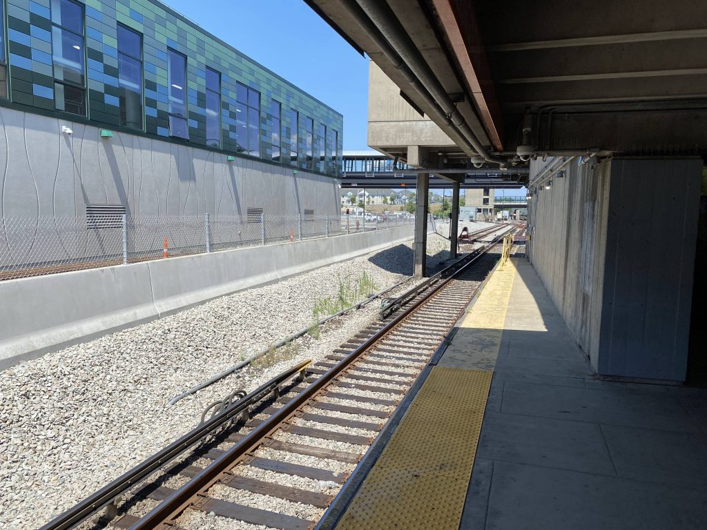
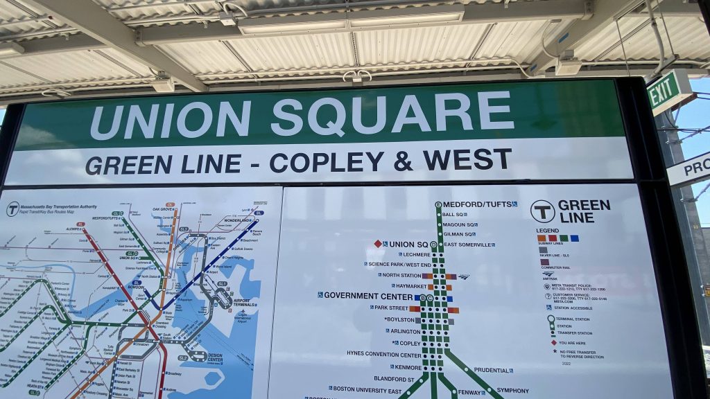
Alrighty, the newest rapid transit station on the MBTA (for now, that is!). So, with that in mind, surely this can’t be that bad, right? Right???
A Type 8 at Union Square
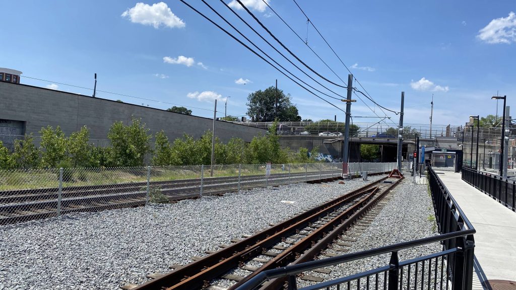
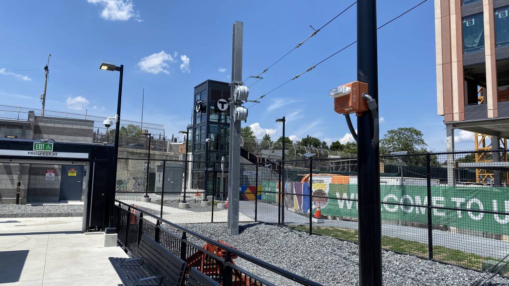
The track layout is pretty easy. You have an island platform, where Green Line trains terminate. The design doesn’t render any extensions (e.g. to Porter Square) too terribly difficult, however currently the operator has to get out, change to the other side of the train, and start driving on the other side. You also have the Fitchburg Line running parallel to the station (future Commuter Rail platform, anyone?) as well. It’s also nice that the entire platform is under a canopy of sorts, especially on a searingly hot summer day.
Idk what this is, but here it is.Helvetica bold!!!!!The end of the Green Line, and the Fitchburg Commuter Rail tracksA nearby high rise!The elevator to street level
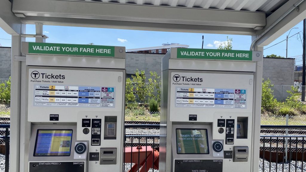
Unfortunately, that’s where the good stuff ends, is with the platforms and nearby transit-oriented development. Now, let’s address the elephant in the room. So, the farebox is on the other side of the train or ALL the doors are open (maybe both!), so getting to the farebox isn’t always practical. However, there’s also no turnstiles. So, how does the T handle their laziness? Let me explain.
Oh no.
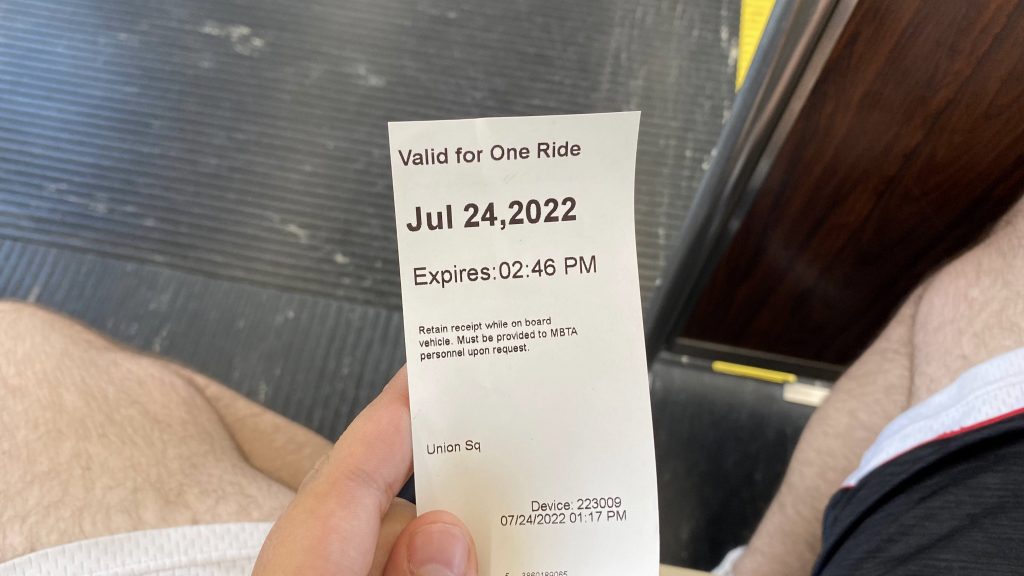
You gotta go to a CharlieCard machine (like you’re adding value or buying a day/week pass). Then, you gotta tap your CharlieCard and then tap “Validate Fare”. However, that isn’t enough, as you also gotta tap it AGAIN. Finally, it’ll beget a receipt. A FREAKIN’ RECEIPT.
This is it.
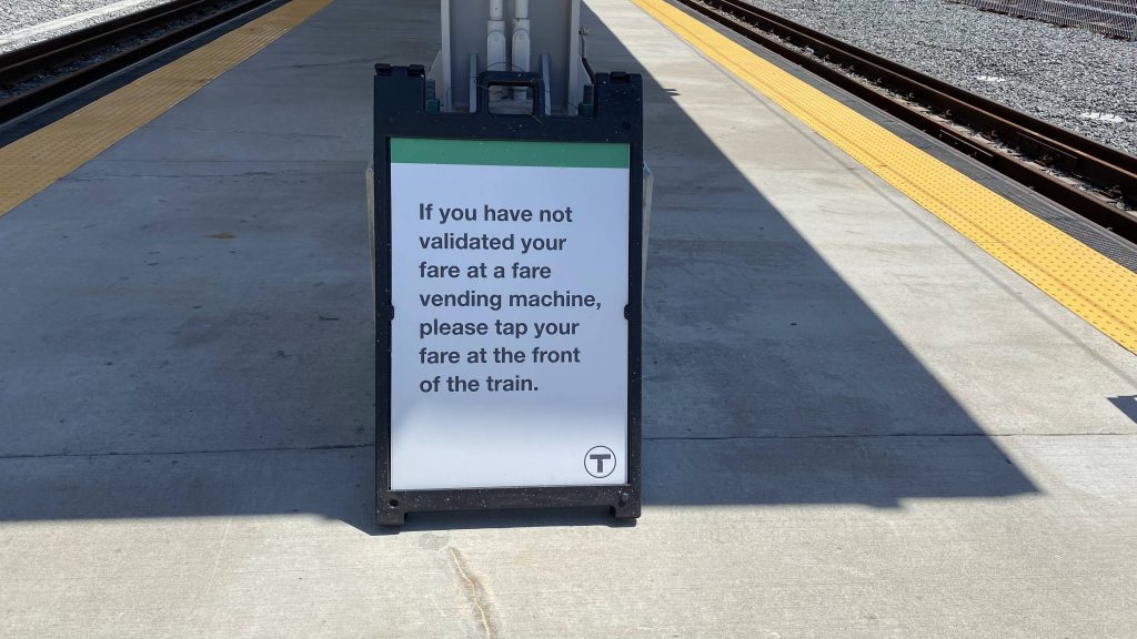
And do the operators check it? Nope! Does anyone check it? I’m not even sure. Maybe at rush hour, but I likely won’t know as I don’t intend on returning here, and I came here on a Sunday. So, in essence, fare validation is the honor system.
Now, let me ask this.
WHY IN THE HOLY NAME OF BILL WELD, DID THE MBTA THINK THAT IMPLEMENTING A SYSTEM THAT MAKES FARE EVASION EASIER WAS A GOOD IDEA?! WHAT KIND OF CRACK WERE THEY ON?! WHY WOULD ANY TRANSIT AGENCY IN THEIR RIGHT MIND THINK THAT GIVING PEOPLE RECEIPTS AND USING THE HONOR SYSTEM EVEN BE A GOOD IDEA AS A FORM OF FARE CONTROL, WHEN TURNSTILES ARE MUCH MORE EFFECTIVE?! Sure, you can hop the turnstiles, but for someone who’s, say, pudgy like I am, it takes hella more effort than just simply ignoring the validation machine and not getting a receipt, then getting on the back door of a D branch train. Like, this station was an idea for over 100 years, and actually in the works since the beginning of the last decade (the 2010s), and this was how they did it?
Really loving the honor system, eh?
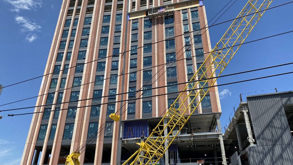
The good: It’s been a long time coming! It’s a direct link between the area around Union Square in Somerville to downtown Boston and the other Green Line branches. It’s also near some transit-oriented development, as well as a Target!
The bad: WHY DO WE EVEN NEED THE HONOR SYSTEM?! LIKE, HOW MUCH MORE EXPENSIVE COULD IT HAVE BEEN TO INSTALL TURNSTILES LIKE A NORMAL RAPID TRANSIT STATION?! And no, noone checks the receipts to actually prove you paid. They may as well not have the CharlieCard machines.
Nearby points of interest: There’s a Target nearby! Also, the neighborhood of Union Square, it’s quite nice actually.
Transit connections: Green Line (D) MBTA bus (85, 86, 87, 91, CT2)
Overall, this station would’ve been great. It could’ve easily been an 8 or even a 9, if it weren’t for the lack of fare control. And, whatever kind of drugs they were on when they decided on the vending machines over turnstiles, I’d like to know.
Oh god. So, a mysterious figure appeared in the distance, walking right towards me and about 5 others. Alright, let’s find out who it is. And it was…..woah, woah, WHAT?!
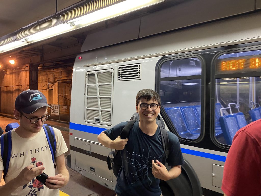
Yeah, Miles himself, from Miles in Transit, ended up showing up, along with about 9 others. Now that there was a party of 16 for Miles’ first phase in riding every overhead-powered bus route in the country, how were we going to go about this? Well, the T happens to run short-turn Silver Line trips between Silver Line Way and South Station that only run on the section shared between the SL1, SL2, and SL3. Eventually, after waiting in the shade and introducing ourselves (and some tomfoolery), all 16 of us boarded the next SLW bus to South Station. Weirdly enough, only the middle door opened and I felt a little uneasy committing fare evasion. But is it really fare evasion if the driver is only bothered to open the middle door? Once we all settled into the back part of the bendy bus, we were off to the races.
Onwards!
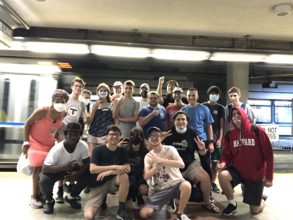
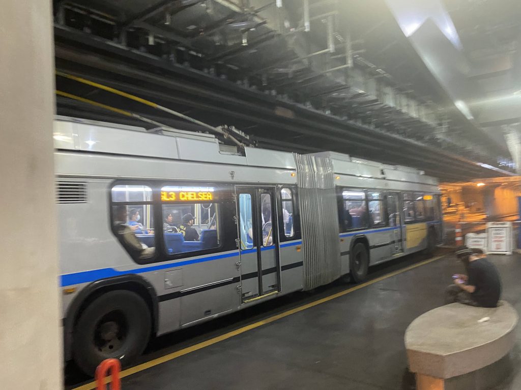
Of course, being mildly rambunctious, we were all collectively probably every bus operator’s worst nightmare. Nevertheless, once we got to World Trade Center, all of four people got on. “FOUR PEOPLE?! THAT’S ALL THE RIDERSHIP!” someone yelled. As we progressed towards Courthouse, we started singing Sweet Caroline, to get the full MBTA experience. And boy, was it a good time. Soon enough, we made it to South Station, round of applause for the operator (presumably for putting up with all our shenanigans), and everything. From here, we all gathered for a group picture in front of the inbound platform and we’d all head up to the food court for lunch before Miles and Jackson had to run off to catch the Lake Shore Limited to Chicago.
The good: Short-run trip between the four innermost Silver Line stations (at least, the ones on the busway coming out of South Station)! On paper, this is supposed to alleviate any congestion on the SL1/2/3 during rush hour (I presume). However…
The bad: This route isn’t all that great with nerfed headways, especially given every SL1 I’ve seen is packed, and not so much the SL2 or SL3, and plus my trip was largely empty, save for Miles, Jackson, and co.
Nearby points of interest: Pretty much the waterfront district in its entirity, if you walk out of any given station. Downtown, if you leave South Station, as well as access to the Commuter Rail, Amtrak, and the Red Line and SL4.
Overall, on paper it’s not a terrible route. In fact, I’d argue it’s the best Silver Line route. Unfortunately, though, I’d limit this one to rush hour and special events only (of which neither conditions were true when I rode this). Plus, if you’re going between the three BRT stops along the shared section of the SL1/2/3, odds are you’re gonna be using whatever comes first heading inbound, and it probably won’t be this.
Rating: 7/10
Also, a post-publish edit: shoutouts to everyone who was there. Y’all legit are cool people, and to be real, I had a good time. And to Miles and Jackson, if you see this, best of luck on your cross-country trolleybus journey.
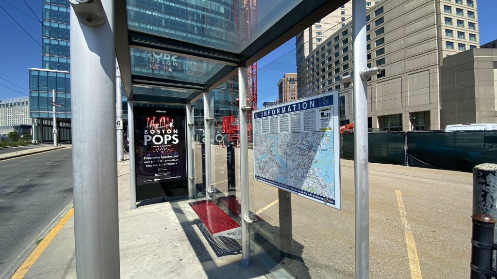
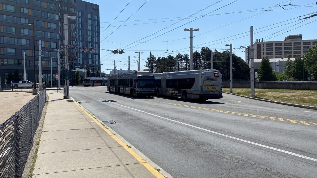
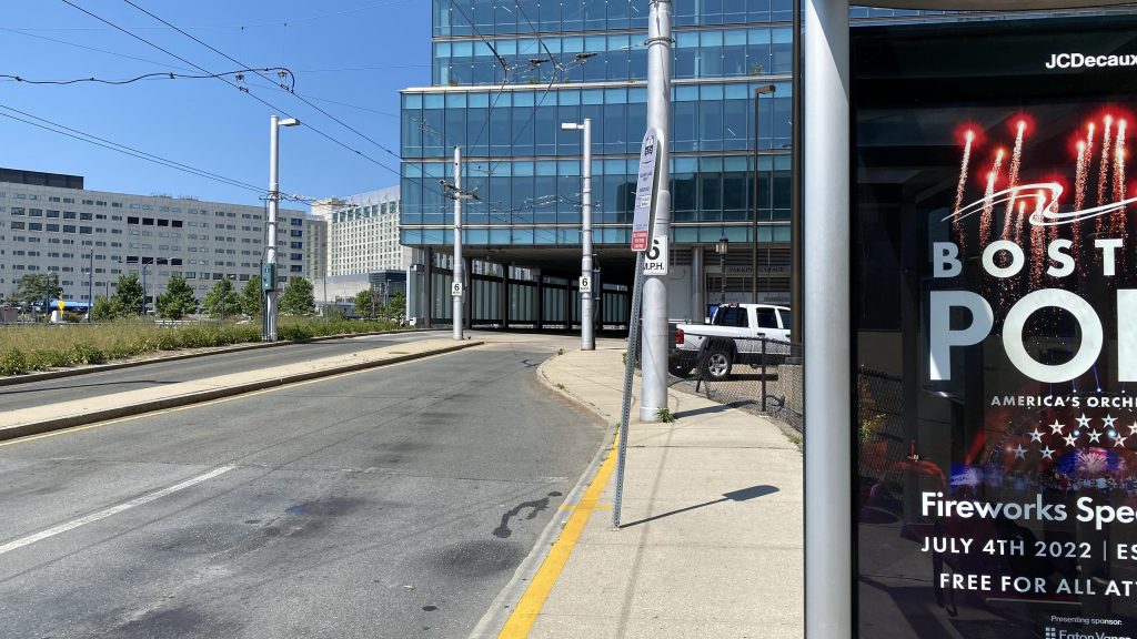
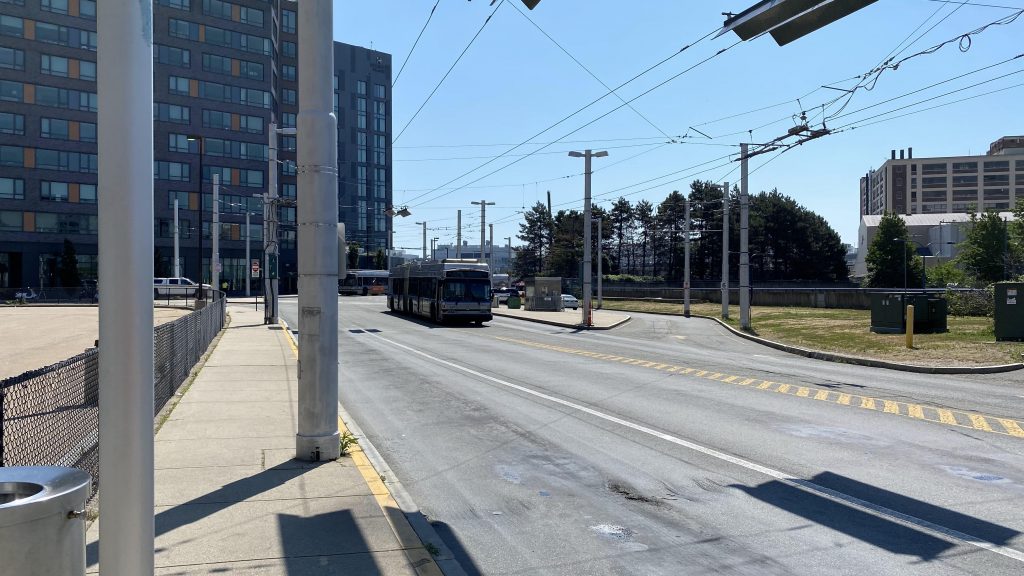
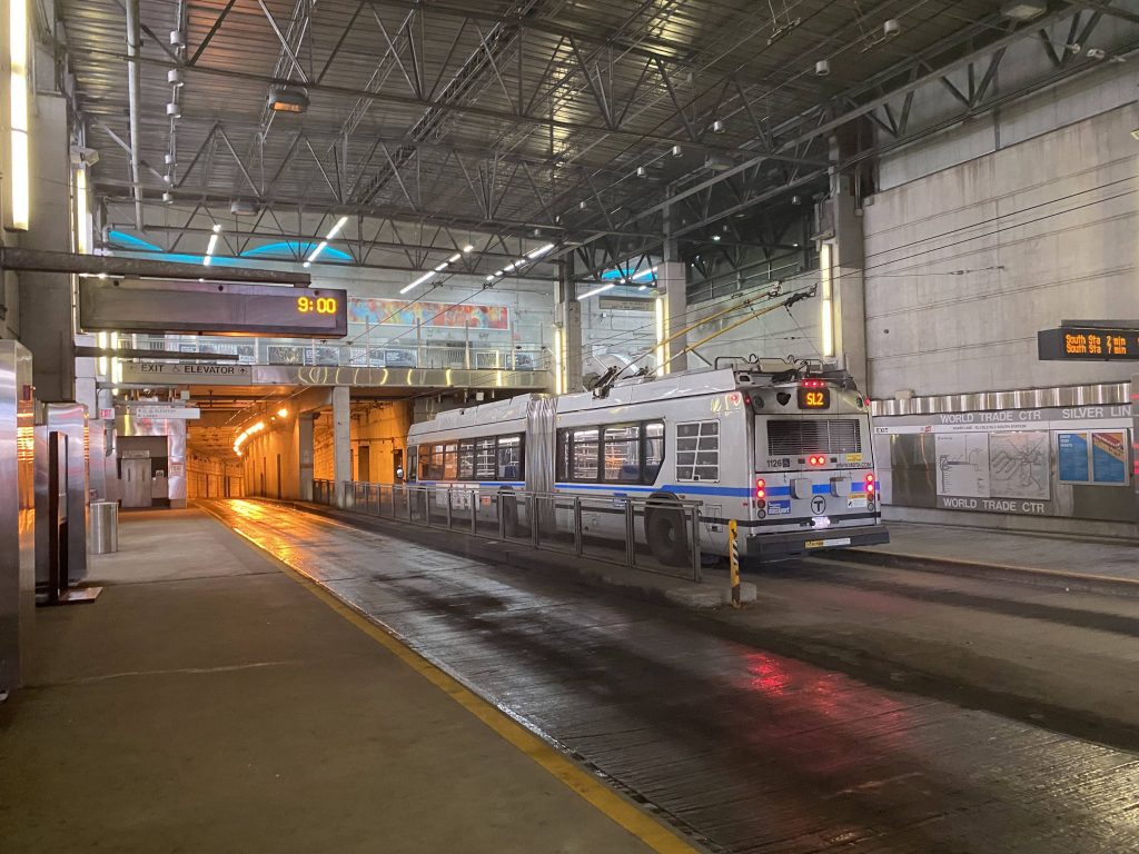
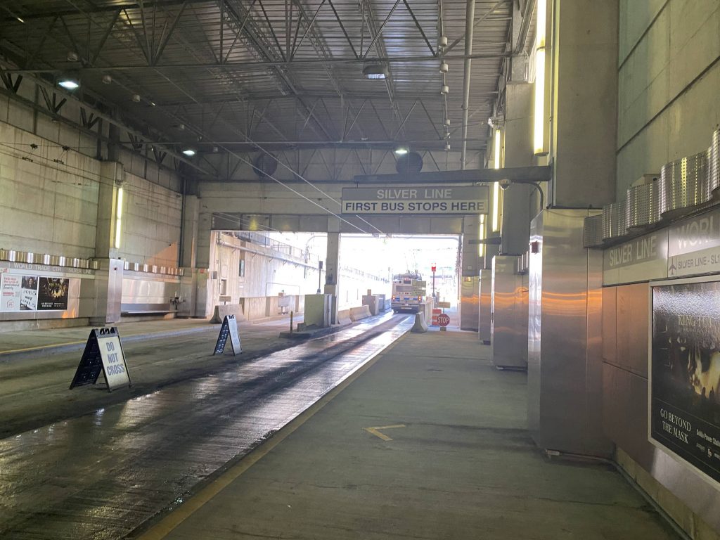
Alrighty, the last of the Silver Line stations for today! Let’s delve into it. The station? Silver Line Way.
The outbound shelter
Now, for one, there’s nothing really special about Silver Line Way, other than the fact it’s where the diesel-overhead transition happens. That is, if the bus is an old Neoplan. The Xcelsiors (diesel hybrids and BEBs) don’t need to switch over because they don’t have pantographs. The only other things immediately at the station are a turnaround point for the short-turn Silver Line runs and a parking lot.
A normal bus next to a disabled bus….facing the wrong way?Looking down Silver Line WayThe turnaround point, and that darn bus again.Overhead catenaries and the bus’s pantographsFrom the shade at a nearby hotel
Wait, what the? Who’s this walking towards me and the small gathering of people? Not the shadowy figure! Oh god, no, not like this. Please, anything but this. No, no, NOOOOOOOO!!!
TO BE CONTINUED…
The good: It’s right on the waterfront, near a major concert venue.
The bad: …there’s not much else of any major note in the area. Delays are also likely should the handoff between diesel and overhead fail.
Nearby points of interest: The aforementioned concert venue and the waterfront.
Transit connections: Silver Line (SL1, SL2, SL3, SLW)
Overall, it’s “meh.” If the bus is in the middle of the street, good luck if you need accessibility. The handoff works great if it goes well, but if it goes wrong, it goes REALLY wrong and can cause delays a plenty. But overall, I’d say it’s about average. It does suck if you’re here for 40 minutes in the searing heat, though.
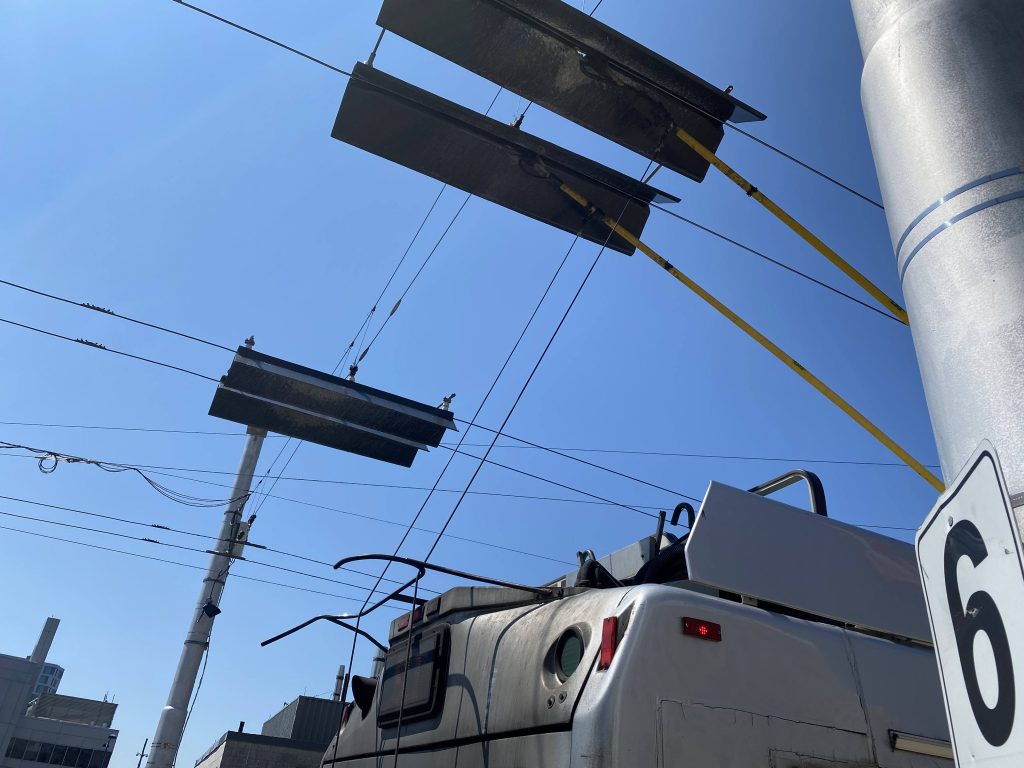
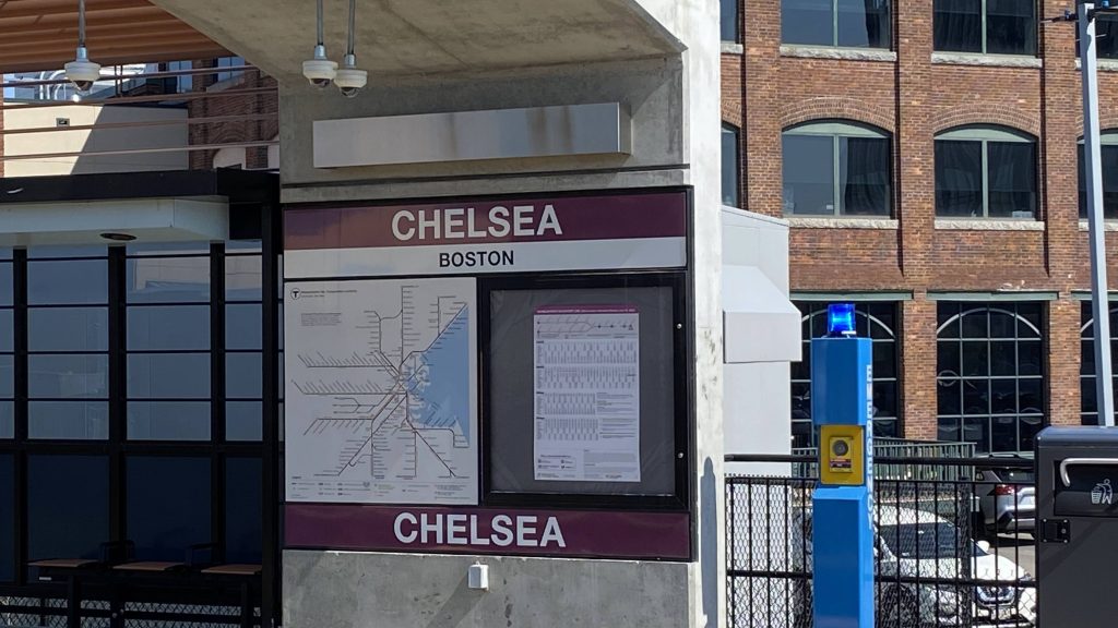
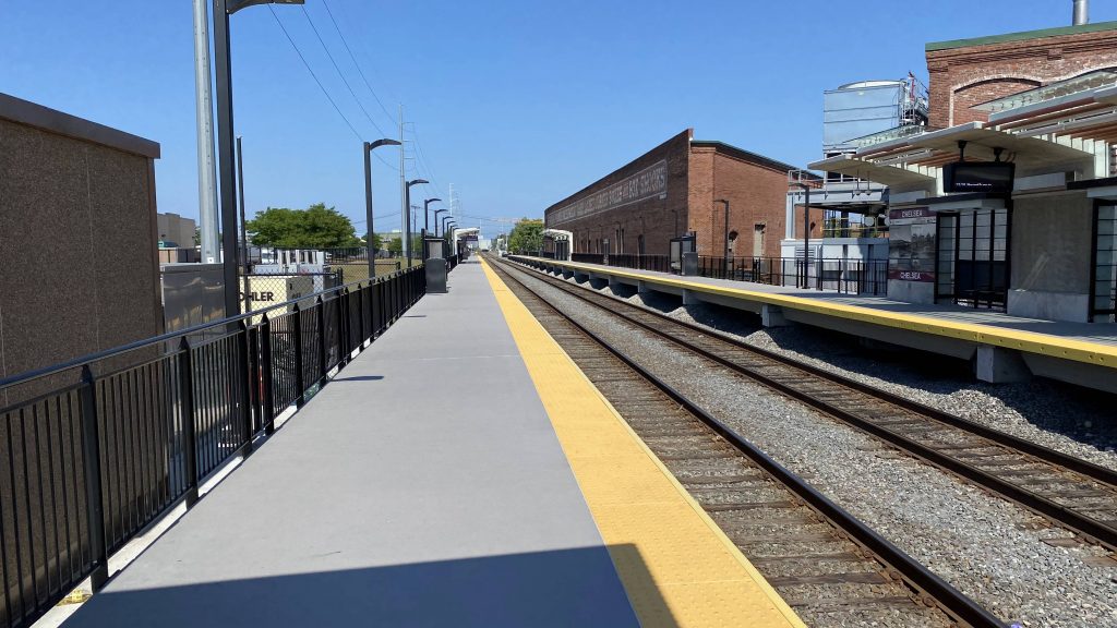
Ooh, another Commuter Rail station! This time, it’s a CR-Silver Line transfer point, and it isn’t in downtown Boston! Neat! Wait, what’s that?
Helvetica Bold?! Sweet!Oh god, no, NOT A GRADE CROSSING!!!
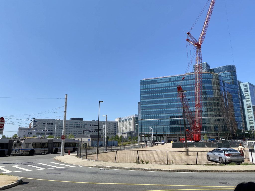
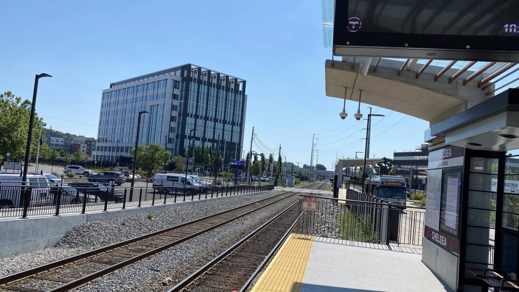
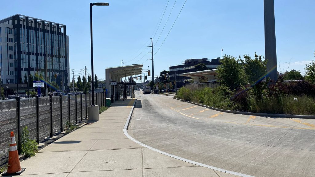
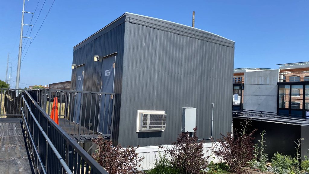
The worst part of the above grade crossing, is that it’s the only way to the other side of the tracks. So, if you’re in a hurry, you best hope the train doesn’t force the gates down and block the street. The station itself is fine, though. You have shelters, modern countdown clocks, and a reasonable amount of benches. You also have a shelter and a turnarond point for the buses in the busway (yes, this is a Silver Line stop!) There also happens to be a bathroom here, too, but I think it’s for MBTA employees only. Nearby is also a connection to the 112 and 114, as well as what seems like the world’s largest Market Basket. As a fun tidbit, further up the busway, one can spot the old Chelsea Station right next to Bellingham Square. While track work upstream led to no trains while I was here, the fact there were people getting on and off the Silver Line stop does suggest there’s ridership.
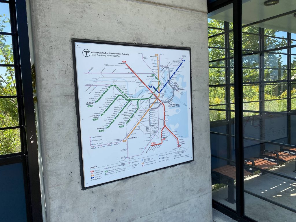
The quiet platforms heading inbound to North StationThe buswayBathrooms!A system mapCountdown clocks and a bus laying over!The old Chelsea Station, at Bellingham Square
The good: It links Chelsea to downtown Boston and the south side by way of rapid transit! It’s also useful for people trying to get to the north side by way of Commuter Rail, and more local areas by bus. There’s also a Market Basket here, along with some healthcare buildings nearby!
The bad: THAT. DARN. GRADE CROSSING. God, that irritates me SO MUCH.
Nearby points of interest: There’s Market Basket! There’s also some healthcare buildings in the area along with some state offices.
Transit connections: Commuter Rail (Newburyport, Rockport) Silver Line (SL3) MBTA bus (112, 114, at Market Basket)
Overall, it’s a nice station. If I could change anything, it’d be that grade crossing, however that’d open up a whole can of worms I’m not ready for. I do like how it’s right at places where any reasonable person would want to go on any given day, too.
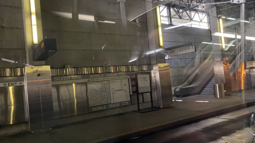
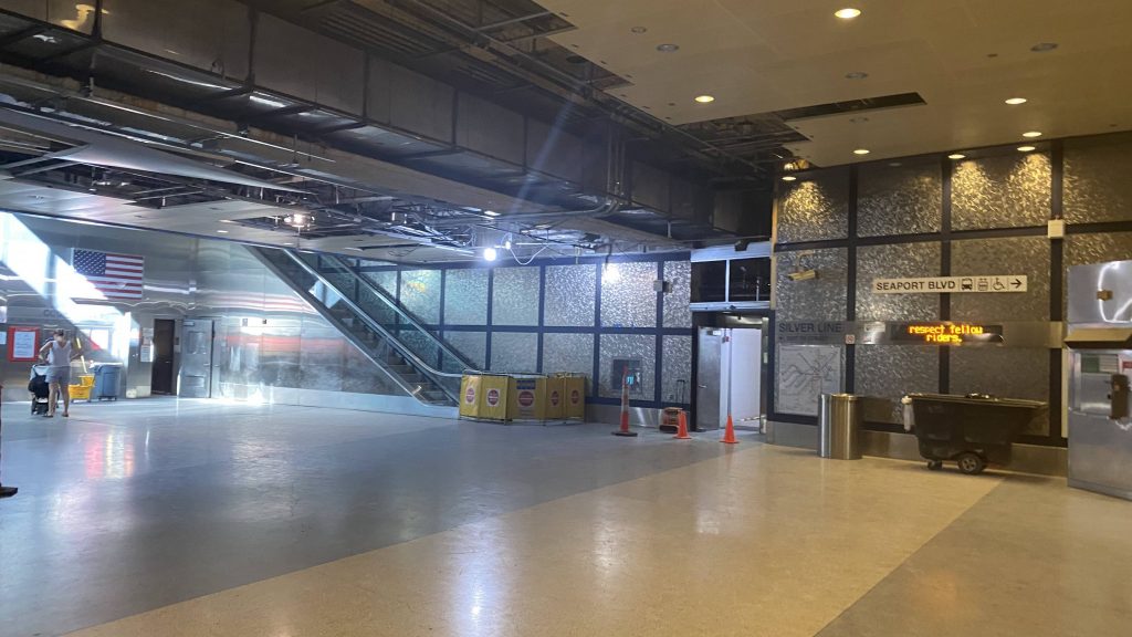
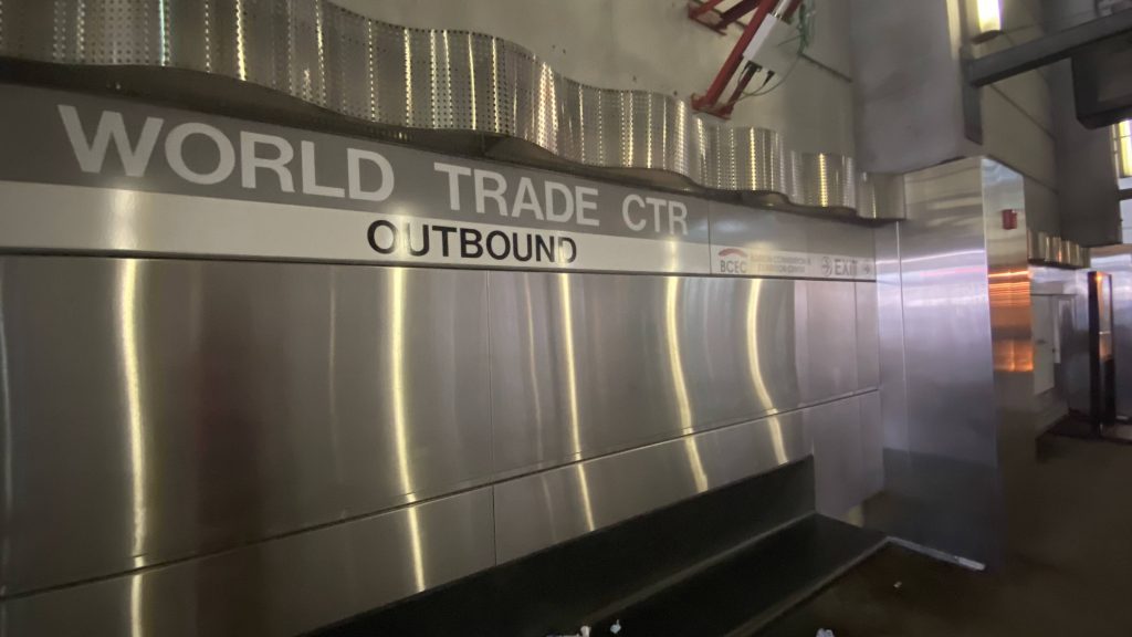
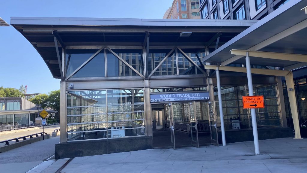
So, Courthouse was grossly overridden with construction. What about its neighbor, World Trade Center (or WTC/BCEC, as I’ll call it going forward in this post)?
The mezzanine
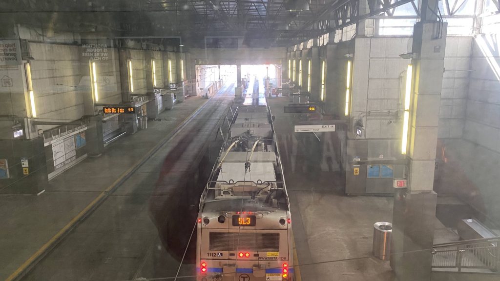
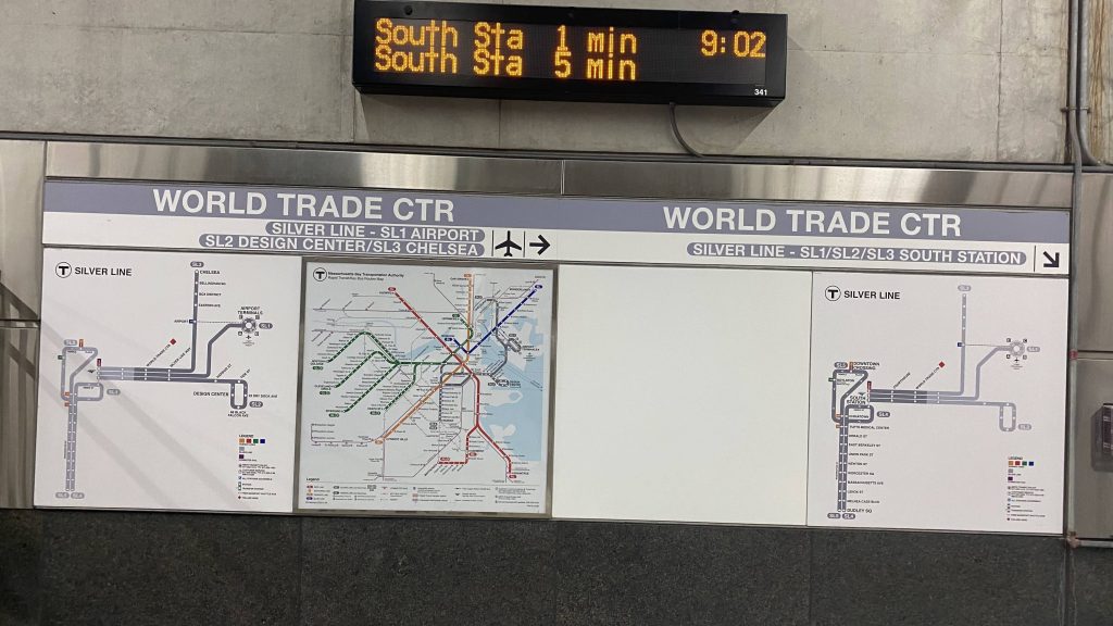
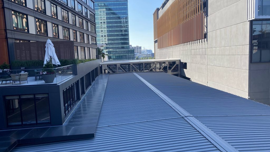
Alrighty, so the mezzanine is far better than Courthouse’s, with only an escalator being down instead of 90% of the mezzanine. Unfortunately, there’s no in-station access to the World Trade Center or BCEC, and unlike Courthouse at least this station is built to accommodate whatever conventions happen at either the WTC or BCEC. There’s also a bridge over the busway so you can look down on the buses. One can also look outside to, well, the outside world. There’s also a map of both the entire rapid transit system and the Silver Line system specifically in the mezzanine, below the countdown clock.
The outbound countdown clock is kinda uselessThe outside world!Helvetica bold!The busway from above!Woah.The BCEC!One of the entrances to the stationLooking through the fence
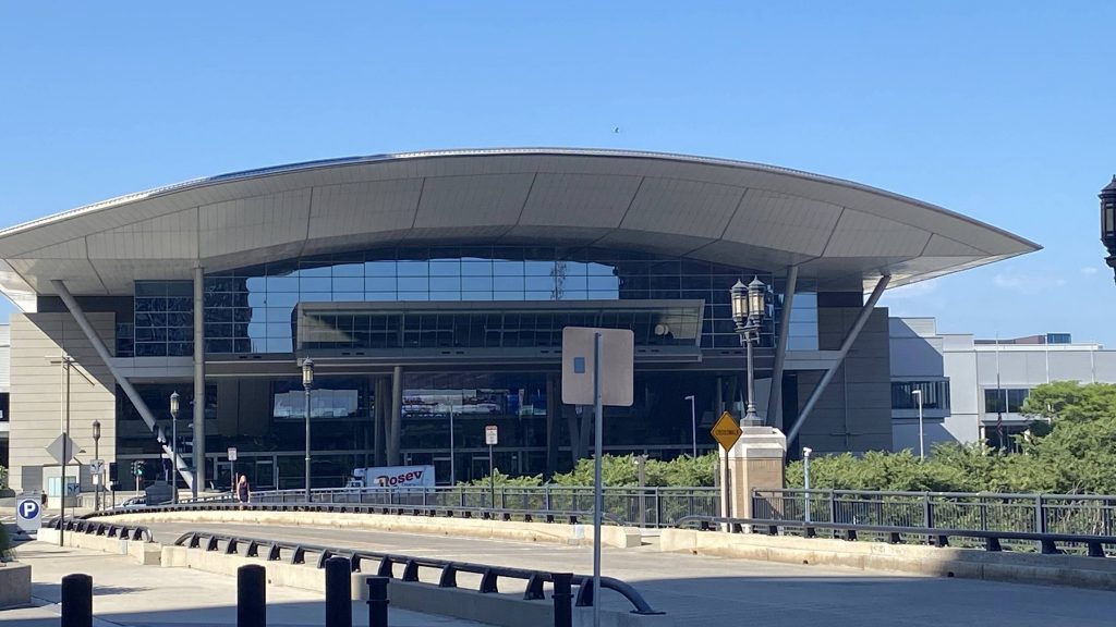
The good: It’s an important stop along the Silver Line, serving both the WTC and BCEC. Even the bus announcements acknowledge the presence of the BCEC.
The bad: During times without any conventions or events at either the WTC or BCEC, the station doesn’t have the best of ridership figures. 1500 daily boardings in 2019. Yes, it’s pre-pandemic, but still. However, WTC/BCEC is built to accommodate any spikes in ridership due to conventions or expos, so the station feeling overbuilt makes sense, unlike Courthouse.
Nearby points of interest: Uhhhh, the BCEC and WTC? Duh.
Transit connections: Silver Line (SL1, SL2, SL3, SLW)
Overall, while it seems like a boondoggle, and pointlessly overbuilt like Courthouse, it really isn’t. Most times, yes, it’s too big, but the space is important for any conventions and whatnot.
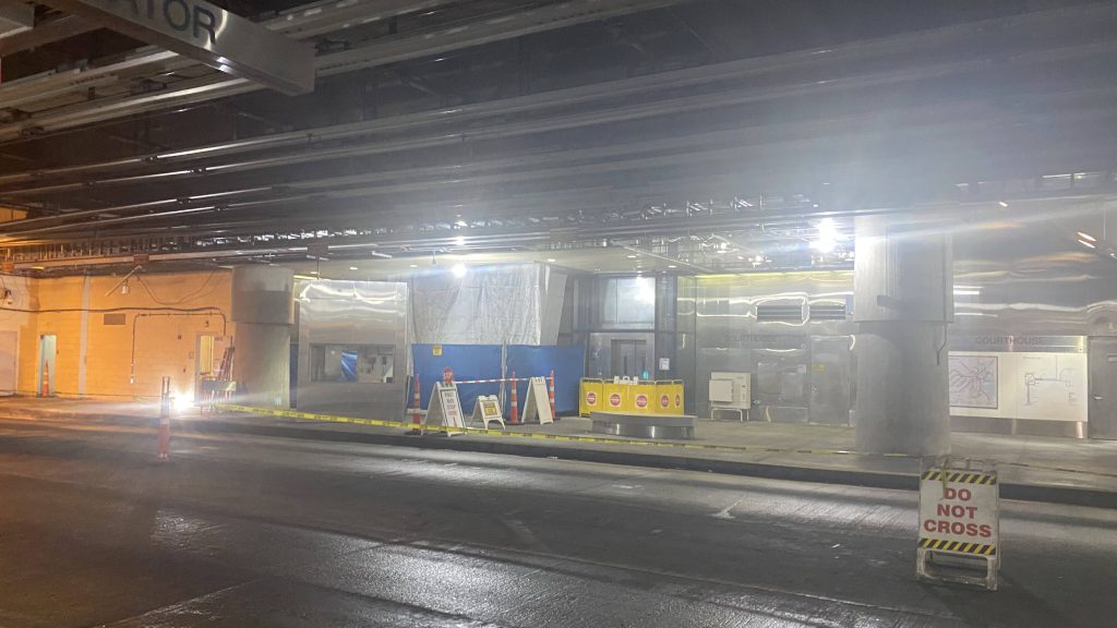
Oh my, some Silver Line stuff! So, the first stop past BOS is Courthouse. Let’s take a look. Is it overbuilt?
See ya!
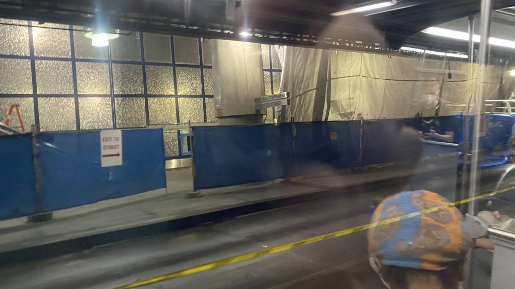
So, the platforms are relatively bare, with a bench to sit on. Nothing here. The station is also construction-ridden, and enough to where I ended up somewhere where I probably shouldn’t have been in. The ceiling in the mezzanine looks nice, though.
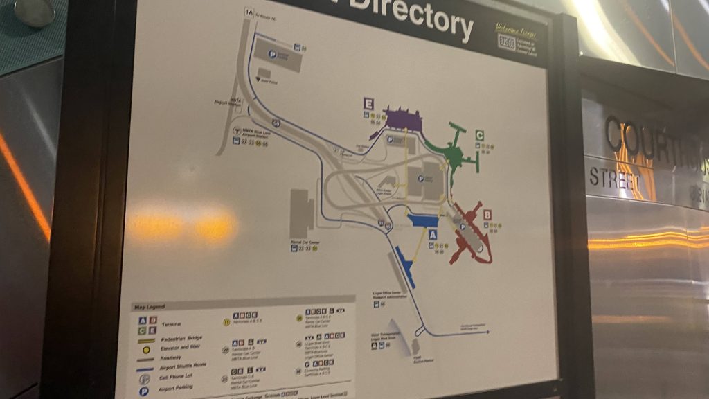
The other side and the do not cross signA directory for …Logan Airport???Oh no.A countdown sign just past fare control
The good: It’s a direct link from downtown to the Joe Moakley Courthouse along the waterfront. I’d assume this is what most people end up using it for, that and other waterfront venues.
The bad: There’s no free crossovers (officially) in case you end up on the wrong side of the busway. Sure, you could hail Mary across the busway, but I wouldn’t suggest it. Also, the unholy amount of construction. Ridership isn’t the best either, with around 2500 weekday boardings happening here as of 2019. Not the best indicator either, but when I rode through here both times today, noone got on or off.
Nearby points of interest: Of course, there’s the Joe Moakley Courthouse. There’s also the Institute of Contemporary Art, which is probably the biggest attraction (and truthfully, should have the station renamed “Courthouse/ICA”)
Transit connections: Silver Line (SL1, SL2, SL3, SLW)
Overall, it’s not the best Silver Line station. The biggest killer for me, construction aside, is the non-free crossover from inbound to outbound. Maybe I did it wrong, who knows. Nevertheless, it’s not the easiest station to stomach.
Oh boy, the final route! Is it really worth the hype of being a grand finale? Well, let’s find out. I can safely say that the weather is befitting, as it may as well be monsoon season.
Here it comes, and look at that torrential downpour!
So, the route does the Downcity Loop, with its last stop being Kennedy Plaza. From here, it immediately goes express onto I-95 northbound, where we hit quite a bit of traffic. Fortunately, most of it is from merging, and we then took the next exit onto Rte. 146 northbound. From here, it quickly became woodlands. But hey, at least we got to skip the 54’s Twin River, CCRI, and North Central deviations! Unfortunately….
Dear God…The Northeast Corridor from I-95I-95 from the Rte. 146 flyover rampWoodlands!No deviation today!What a weird-looking exit (Sherman Ave.)
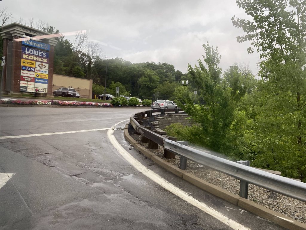
We still had to deviate into the Lincoln Mall. And not the front. As we went into the mall, two announcements played. “Approaching: Lincoln Mall. Approaching: The park & ride at…Lincoln Mall.” Yeah, apparently the CinemaWorld parking lot, which neither the 54or 75 serve, is a park & ride lot. From here, we went back on the freeway.
Watry!This is a park & ride?!Not today!Onwards!Into the home stretch
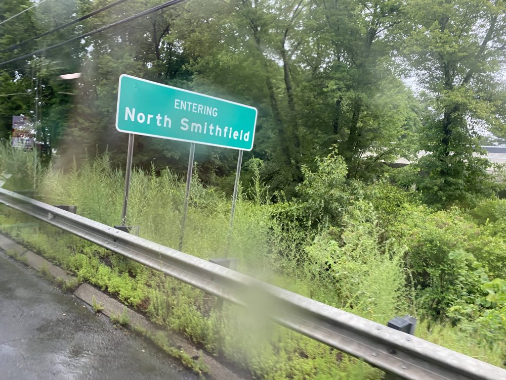
At this point, only two others remained on the bus. However, once we got to Park Square (after skipping Walmart), they got off and walked to Stop & Shop. Man, RIPTA and/or RIDOT oughta put a park & ride lot around here. Nevertheless, we pressed on up Smithfield Road instead of taking a right down Providence Street, going up through Union Village. Apparently there was another park & ride along this stretch, with the only stop being named “Great at 601 Great”, with the announcement saying “The park & ride at Branch Village.” No lots were to be seen, though, unless I missed it. We were near the end though, as all the rural housing and businesses passed right by. We crossed Route 146 again, now called the North Smithfield Expressway, and reached the final light. There it was, Brigido’s Market, or rather, “The park & ride at Slatersville Plaza”. It was here that I got off, with no way back aside from a $13 Uber. I’ve finally 100%’d RIPTA.
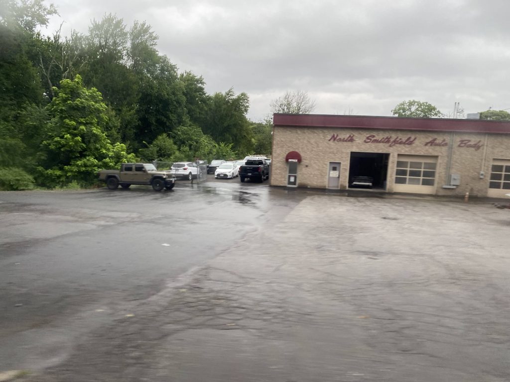
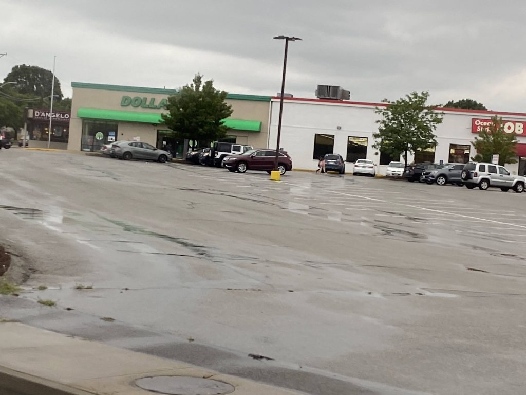
Some businessesNot today, bud!Look, a Dollar Tree! (from the 282 Flex and the 54)A church in Union VillageSomeone’s yardA store of some kindThe North Smithfield Expressway, again!Some side streetsThe northernmost point on RIPTASee ya!
The good: It’s a direct link between Slatersville, Branch, and Union Villages to Providence and Lincoln! For those using it as a park & ride (as intended), it’s also quite accessible.
The bad: If you don’t have a car or an Uber ready, and you need to get somewhere only accessible by this route, good luck. Be ready for a lot of walking. On a more serious note, what’s with the unsigned bus stop in the back side of the Lincoln Mall? Hell, even Slatersville is signed! And, where’s the “park & ride” in Branch Village? And, there should be one at Park Square, given a few people got off.
Nearby points of interest: I mean, there’s Slatersville (with no way back) and the Lincoln Mall, along with North Smithfield and Woonsocket. There’s also downtown Providence!
Overall, this route’s an important link. It’s a direct express connection between the middle of nowhere in northern RI and downtown Providence. Ridership puts it as the 2nd least used express, at 59 people daily, which today probably still holds true, as my ride had 4 others. As for giving this express a local-running counterpart up north? I’d add it as part of a fixed route version of the 282 Flex.
Rating: 4/10
…wow. I’ve finally done it. I’ve ridden every fixed RIPTA route (for now, anyways). I’ve actually done it. Now, I’d like to give some thanks, namely to Wintry, for tagging along for a couple of these posts and giving insight into various routes (e.g. the 13 going to Providence and being a hot mess historically), an anonymous friend for coming along for several of these routes, the folks on the Miles in Transit Discord (as well as anyone reading, who ISN’T from there), the operators who make the system chug along. Also, shoutout to that one Asian guy from the Miles in Transit server that Wintry and I encountered as we were doing the 16 (his username slips past my mind), and another shoutout to “what is life” from the Miles in Transit Discord for essentially sending me down this rabbit hole with the challenge of doing the 10x. But, most importantly, I’d like to thank you, the person reading this right now, for reading my content (Whether or not you enjoy, is a different story). From here, I guess I’m done with RIPTA for now, until any new fixed routes come to be (or if any change considerably enough), and when the Pawtucket train station opens up. As for future plans, I’ll probably attempt to tackle another nearby RTA next. In the interim, I’ll also be slowly hacking away at the various T stations and routes as I ride them, though admittedly I’m a bit hesitant to do the bus system knowing the redesign exists and is likely going into effect at some point in the slightly far future.
With all that, thank you, everyone.
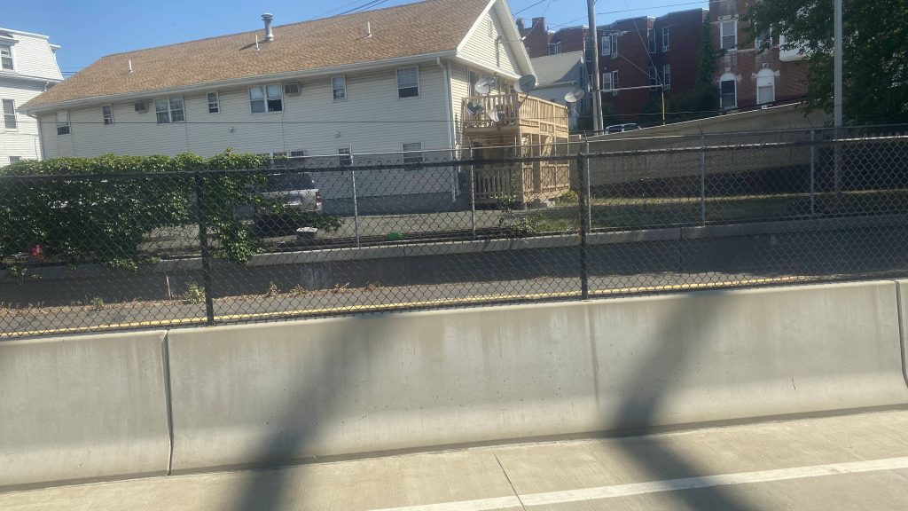
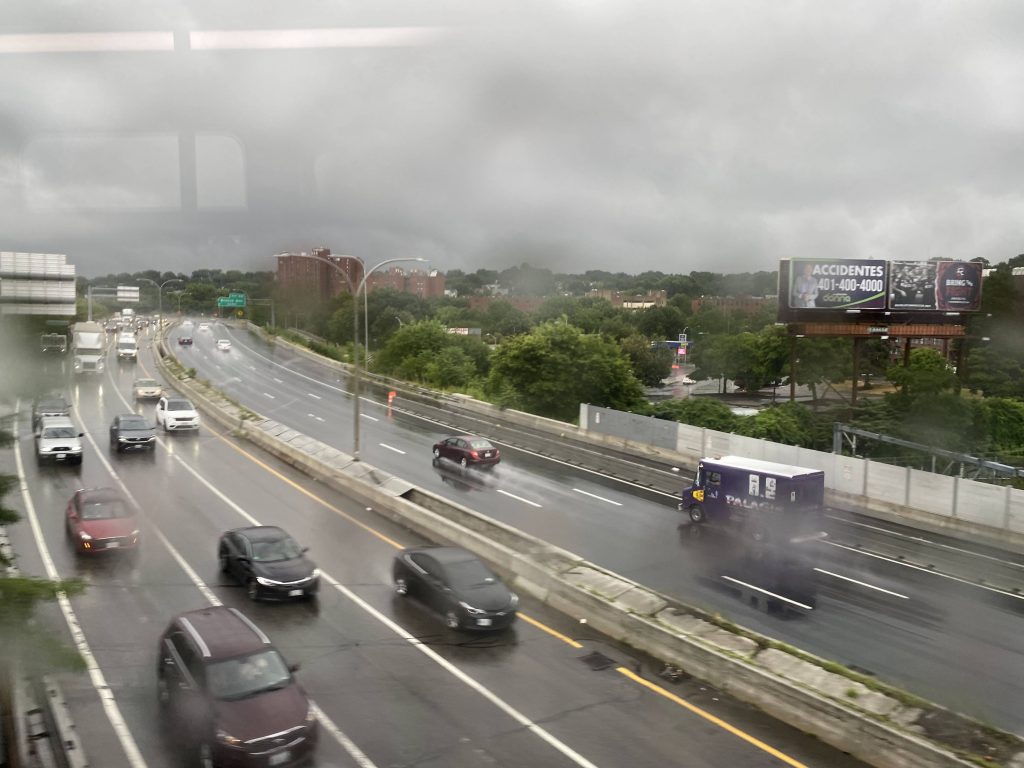
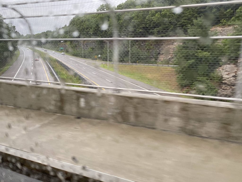
My ride home
Huh, what’s this? Huh, apparently someone suggested I do the Silver Line’s BRT stations on my next day off. Whelp, stay tuned for Silver Line Way, folks!