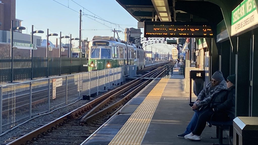
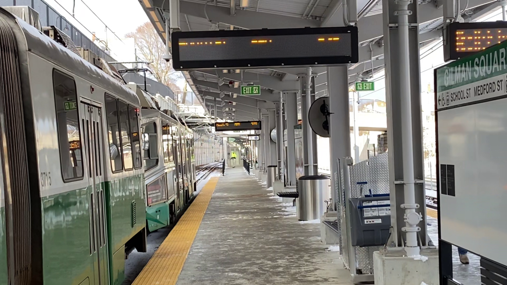
Ah, Orient Heights. Yeah, this one wasn’t too terribly exciting either. But, it’s got something the other stations lack! Let’s look.
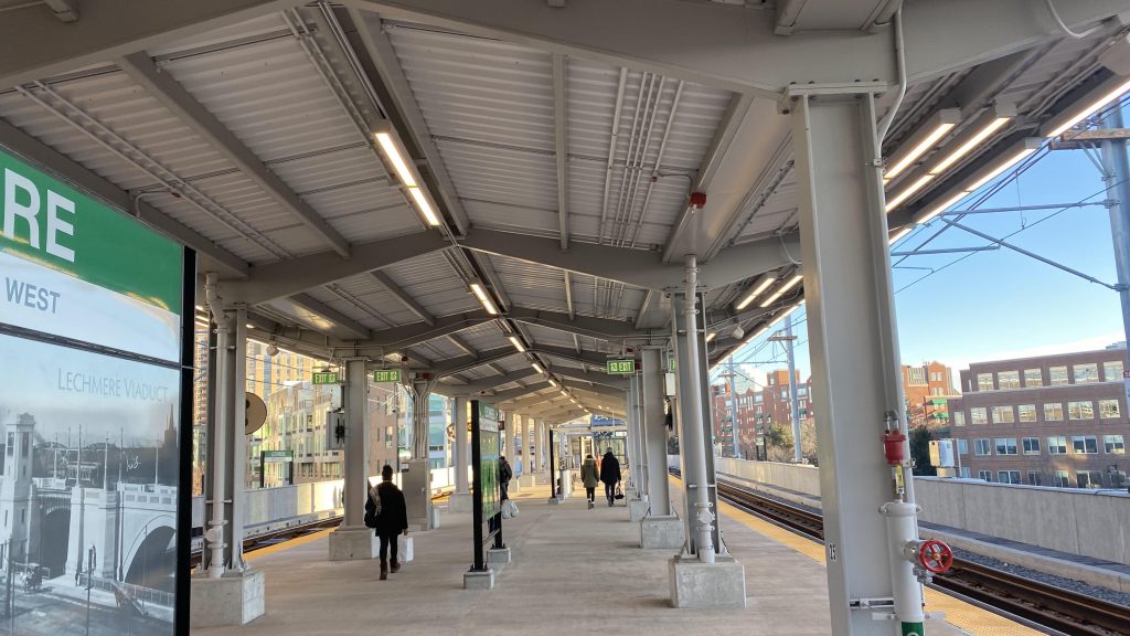
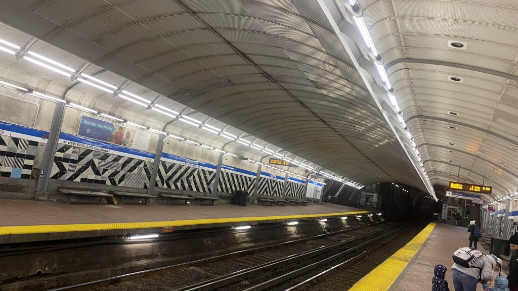
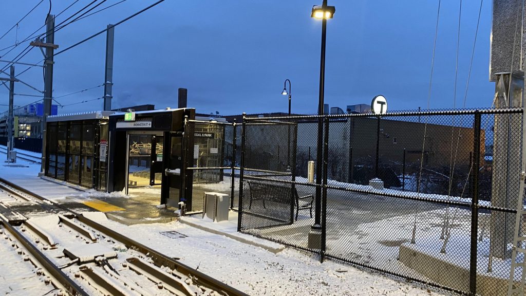
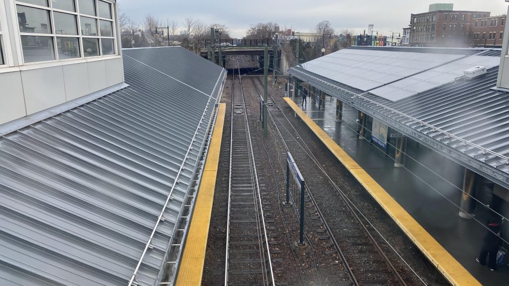
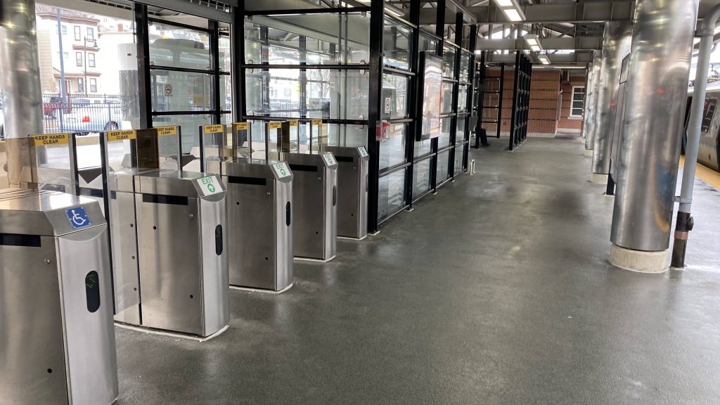
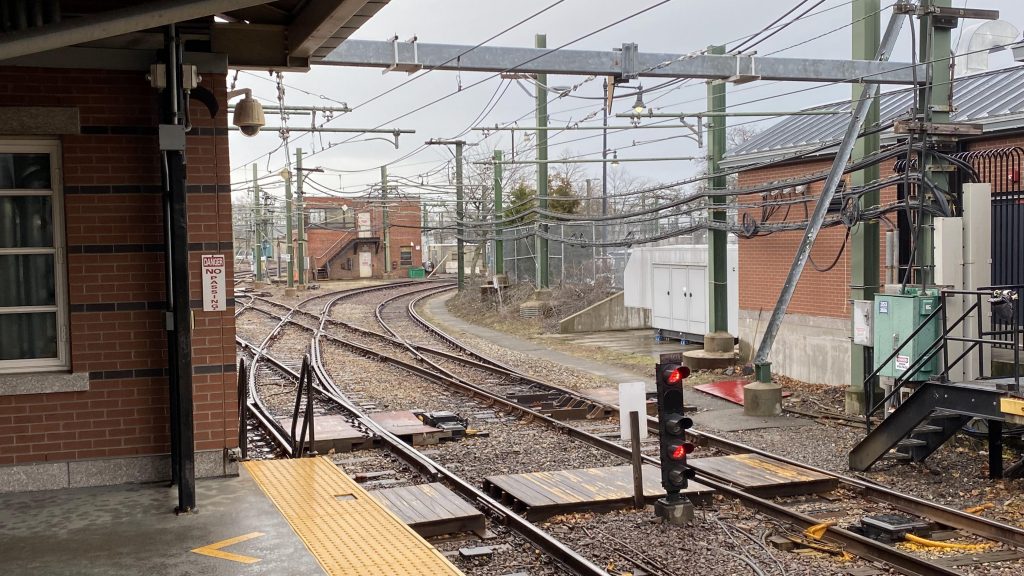
Of course, you have two platforms, with fare control lining the fencing on either side. It’s nothing much, but it gets the job done. And, hey, at least there’s a crossover within fare control! Neat…..except there’s a FENCE running down the bridge halfway! WHY?! At least, there’s a busway on the Bowdoin-bound side. And, hey, for foamers it’s nice since you have the Blue Line yard and you’re also in walking distance to the beach, if airplanes are your thing.
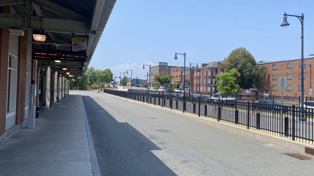
The good: Well, it’s in the middle of a residential neighborhood, has a busway with a countdown clock, and (somehow missing it) a surprising amount of parking. Yeah, this is technically a park & ride!
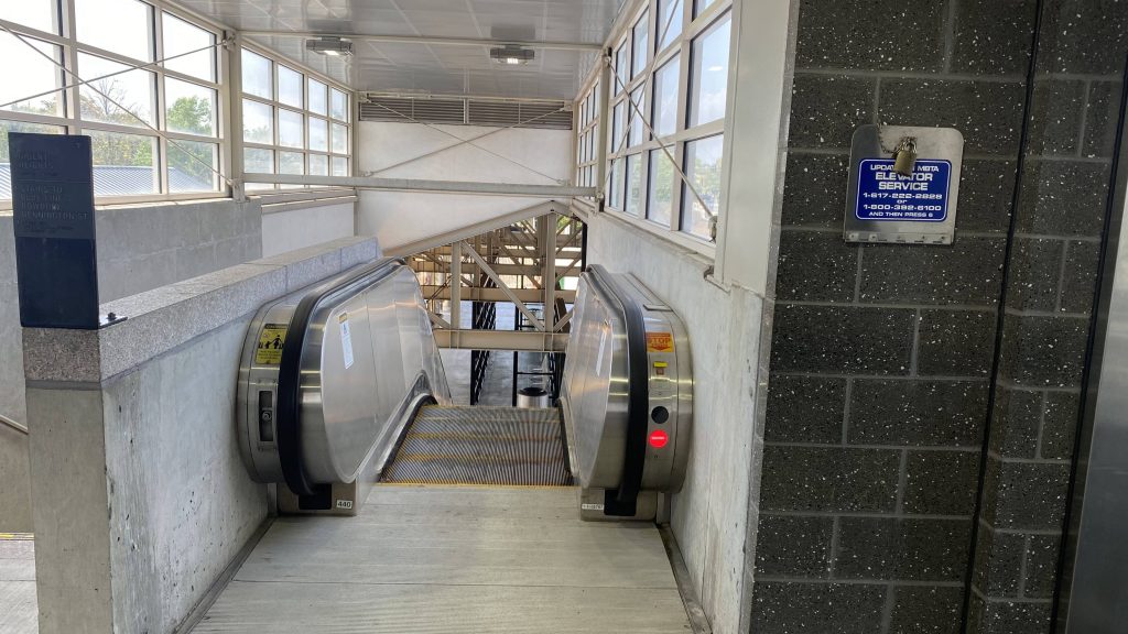
The bad: The emergency exits. My friend almost went through one in attempt to find the crossover, for crying out loud! I mean, yeah, it’s not big, but it shouldn’t be that easy for an idiot to try going through the emergency exit!
Nearby points of interest: You have Orient Heights Beach! Yeah, I don’t know a lot about the area.
Transit connections:
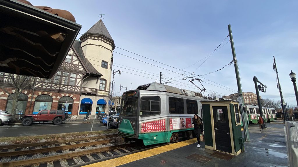
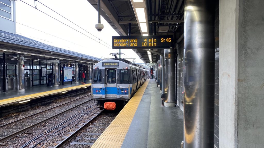
Blue Line
MBTA bus (120, 712, 713)
Overall, it’s an alright station for what it is. Sure, it doesn’t have the glitz and glamor of Assembly or the ugly concrete hellscapeness of Oak Grove (wink wink), but it still stands out- wait, are those solar panels on the roof? Yeah, I’m not sure but look at satellite imagery makes it seem so.
Rating: 7.5/10