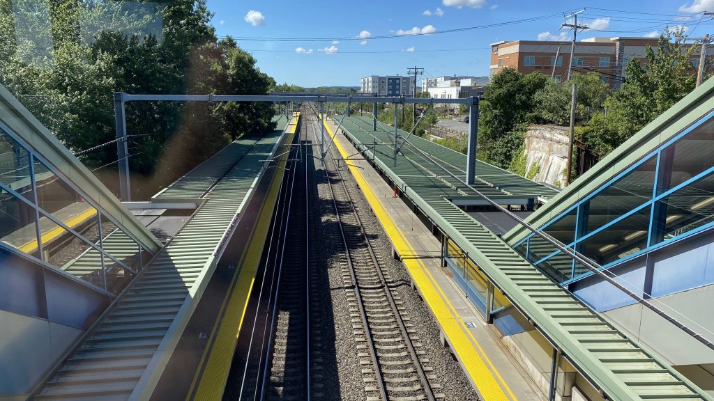
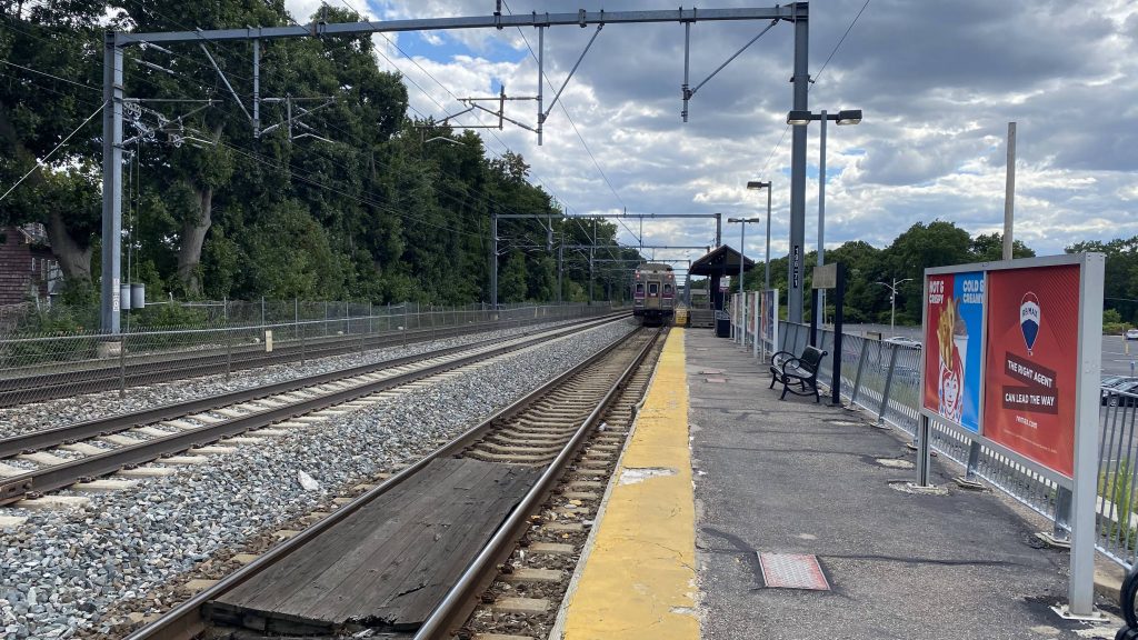
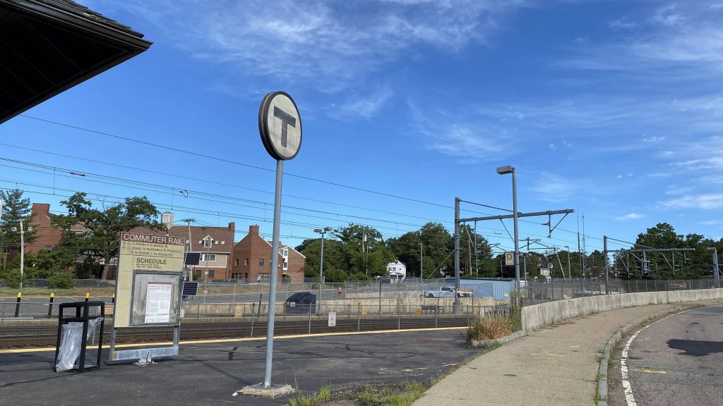
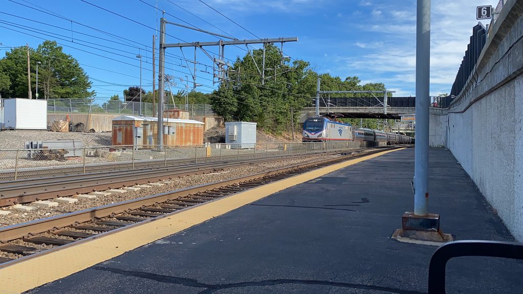
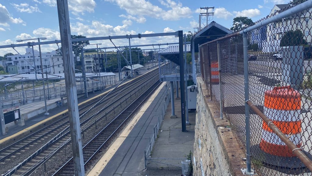
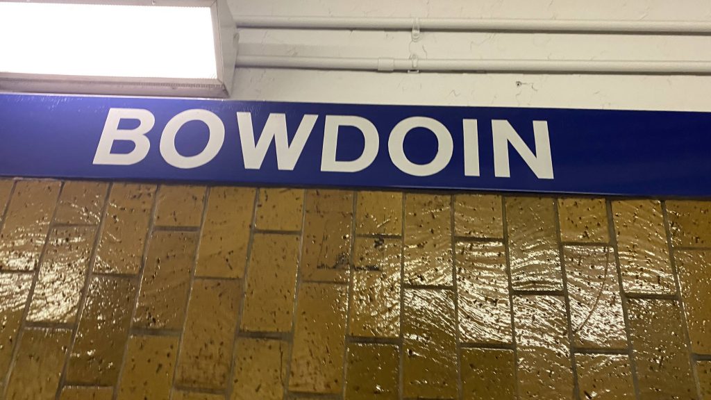
Ah, a terminal station. Well, let’s look at the Blue Line’s downtown terminal. And, oh boy.

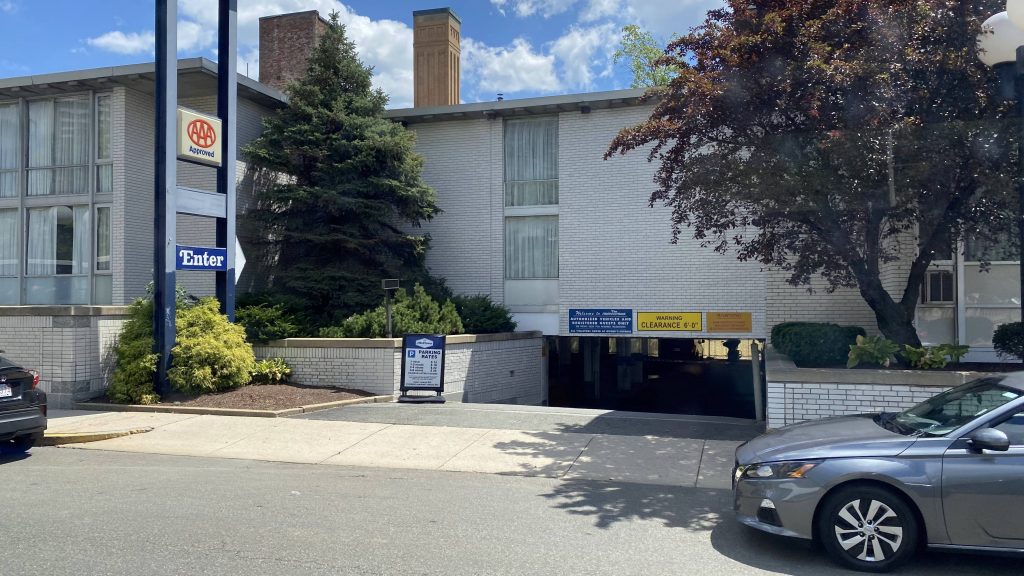
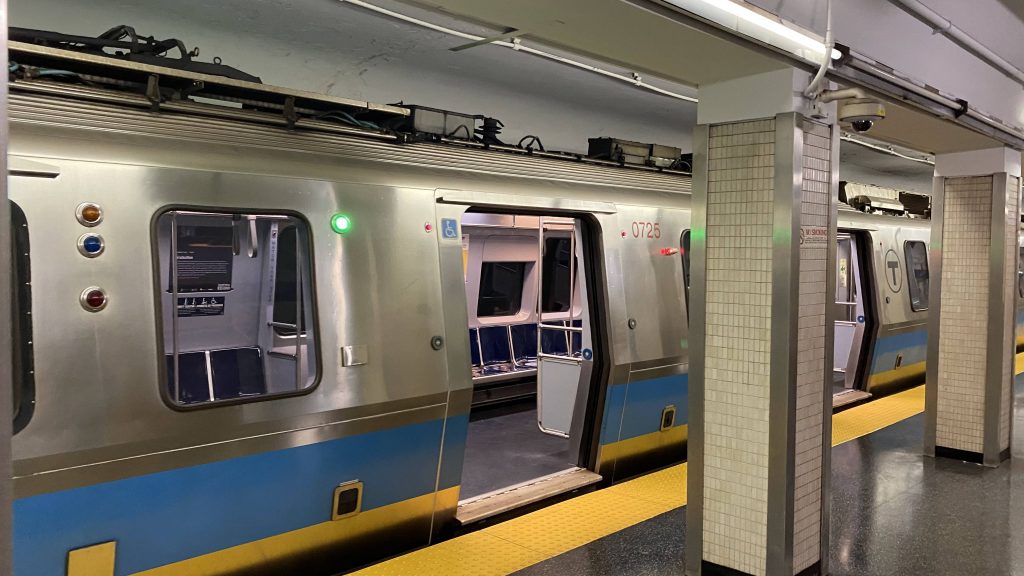
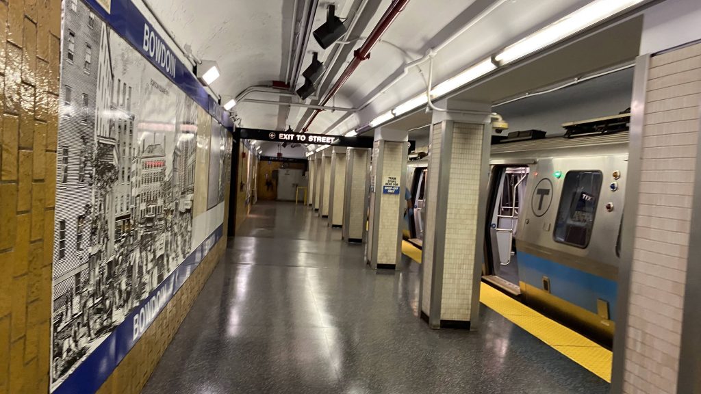
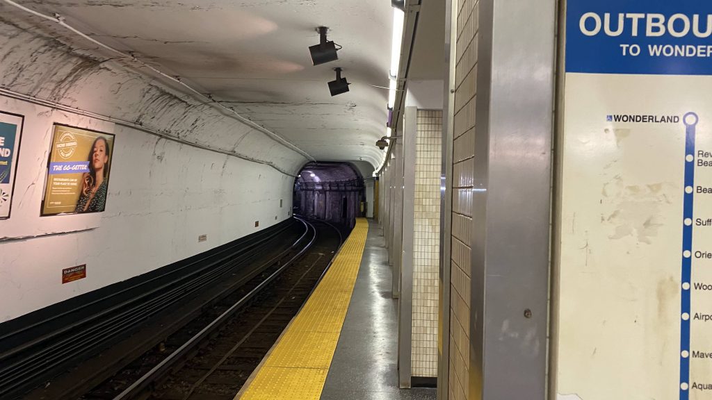
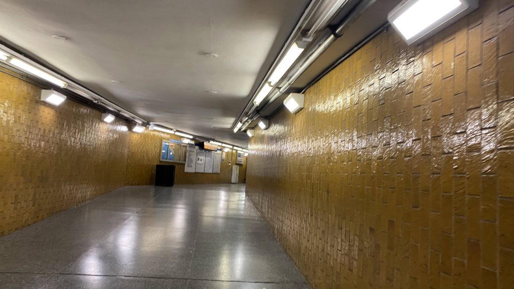
Not only is the headhouse ugly as hell, it’s also clearly very dated. Almost as if this place is a time capsule! I’m not even making it up. You’ve got yellow tiling and white walls/ceilings everywhere as the whole place feels dingy, complete with what I think is a brutalist headhouse. The platform setup, here, however is a bit unusual. Technically speaking, it’s an island. However, it’s a wedge shape because the station is in the middle of a balloon loop (like Heath St.). However, unlike Heath, the departure platform is considerably shorter, rendering a situation where doors have to be user-operated instead of driver-operated. So, if you ever wondered what the buttons on the Siemens #5 cars next to the doors do, there ya go. Oh yeah, this station is also inaccessible. Yup. THIS STATION, IS THE ONLY SUBWAY STATION IN ALL OF BOSTON TO NOT HAVE ANY FORM OF ACCESSIBILITY! Bah, who am I kidding? Who needs the ADA?! The least they could’ve done was extend the Blue Line further up.
The good: Well, I guess the fact it exists at all and is near a Target and a bunch of government offices is good???
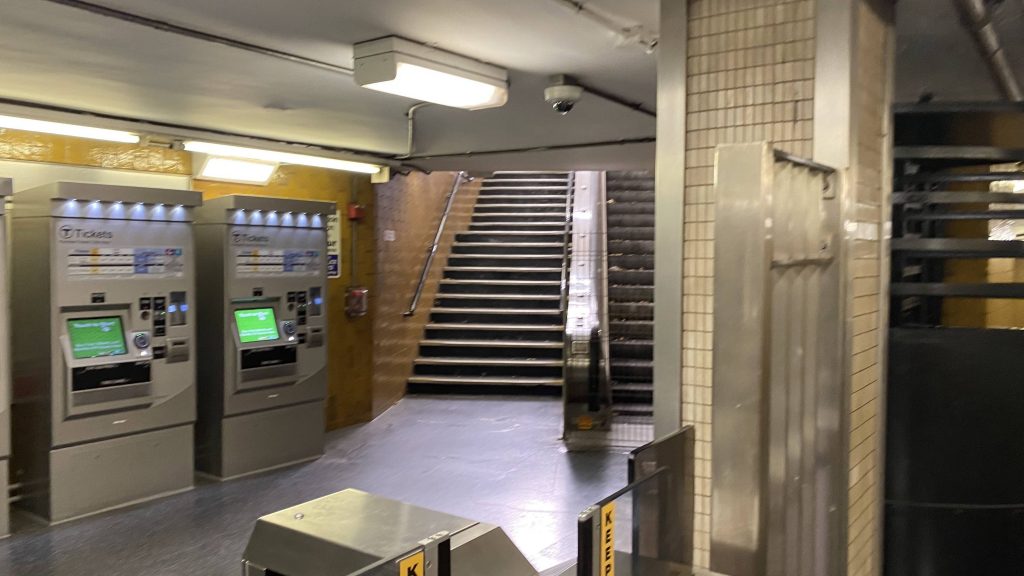
The bad: …why????? Why does this place exist? Would it have killed the MBTA to just demolish this place, and perform a cut & cover to Charles/MGH for a Red-Blue transfer? Government Center is already close as-is, at about a quarter-mile, and a 4ish minute walk. Charles is about 10 minutes on foot. Just, why? Oh yeah, screw you if you need accessibility. Hell, even Haymarket is a 6ish minute walk away. All three stations are accessible, on top of that. The escalator doesn’t work, either. Did I mention this is the only inaccessible subway station on the system?
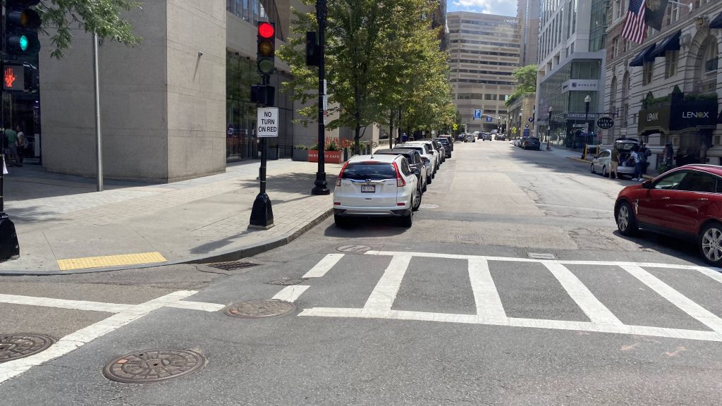
Nearby points of interest: You have Bowdoin Square! There’s also a Target, some government offices, and a Whole Foods, along with Charles/MGH, Government Center, and Haymarket.
Transit connections:
Blue Line
Overall, why? Just, why? There’s literally no reason I can conceive that this station should exist. Hell, most people got off at Government Center when I arrived here via the Blue Line, probably because connections can be made more easily from there. I’d just demolish this place and extend the Blue Line to Charles, like what they should’ve done all those years ago.
Rating: 4.5/10