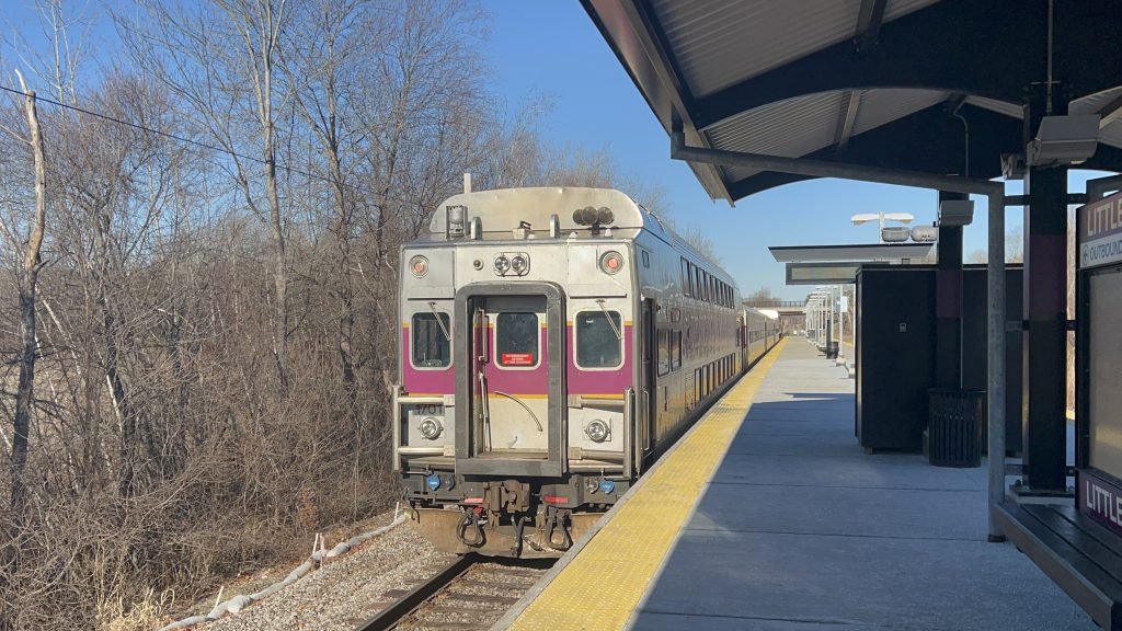
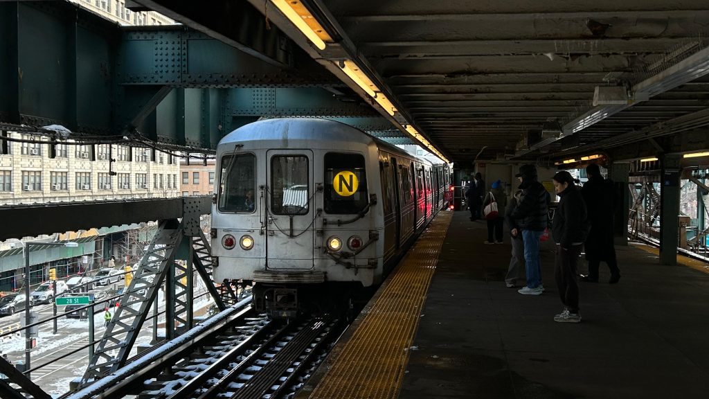
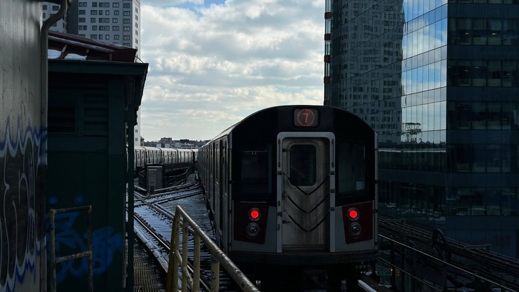
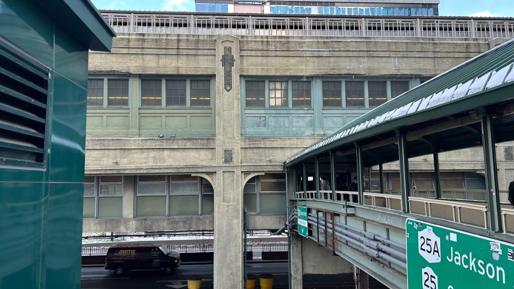
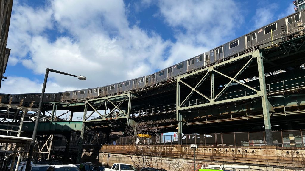
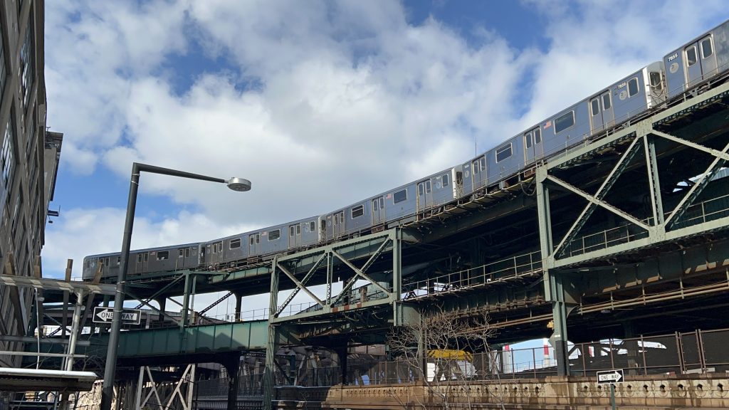
Queensborough Plaza is a particularly unique station on the MTA subway system, and has the distinction of being the sole cross-platform A/B division transfer station. That meaning, you can change lines on the same island platform, but they’re on opposite tracks. In this case, uptown 7s and N’s/W’s are on the same level, but opposite tracks. Same with downtown 7s/N’s/W’s. Either way, welcome to Long Island City!
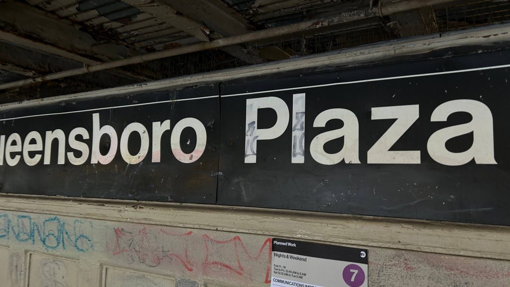
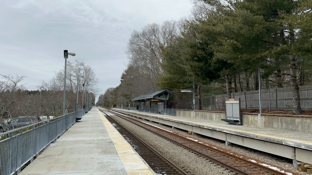
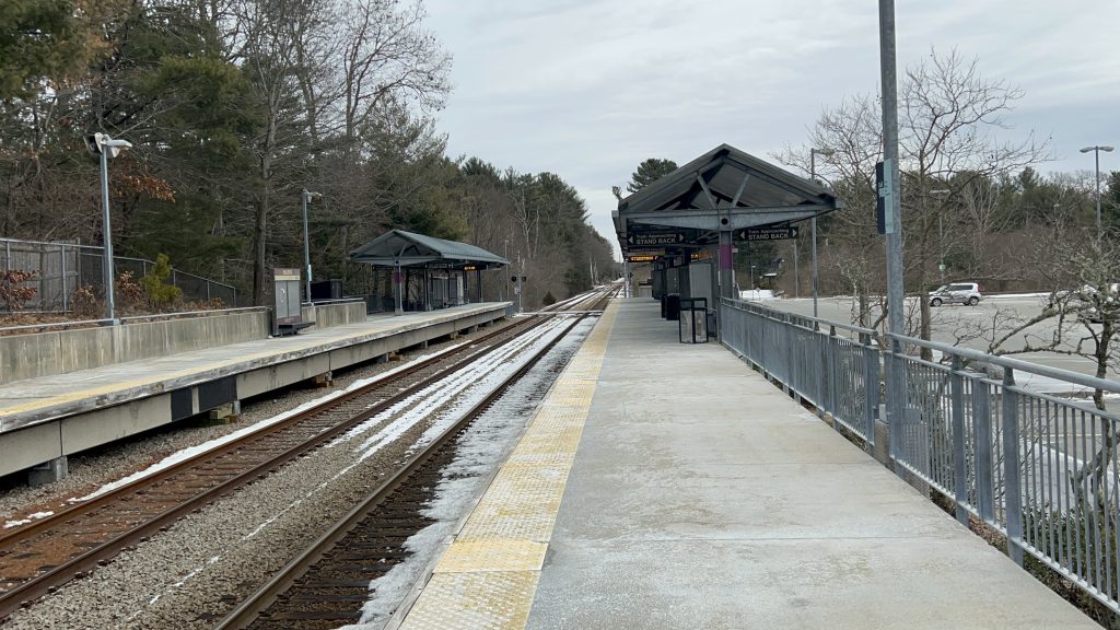
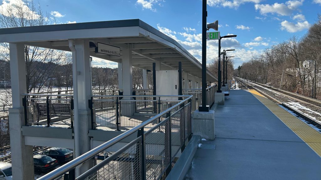
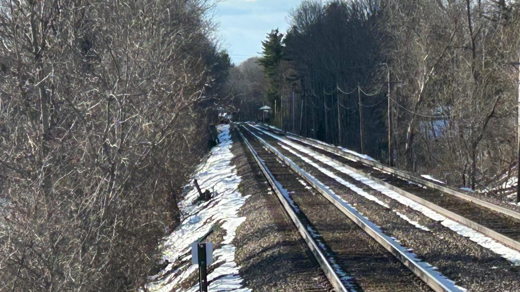
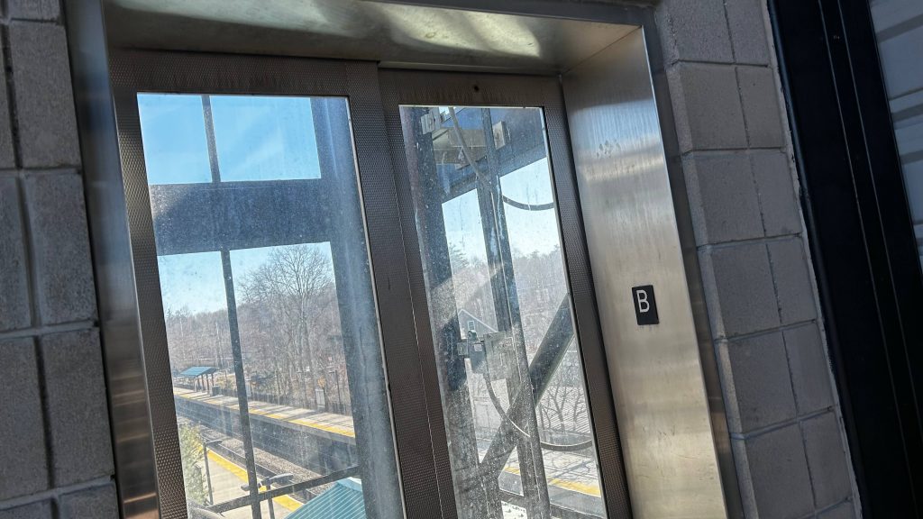
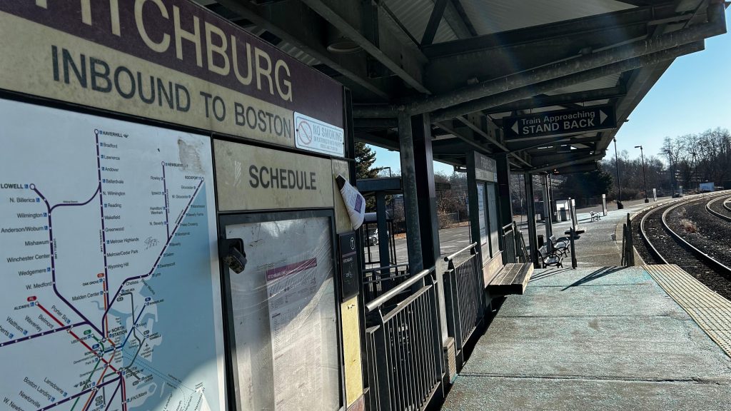
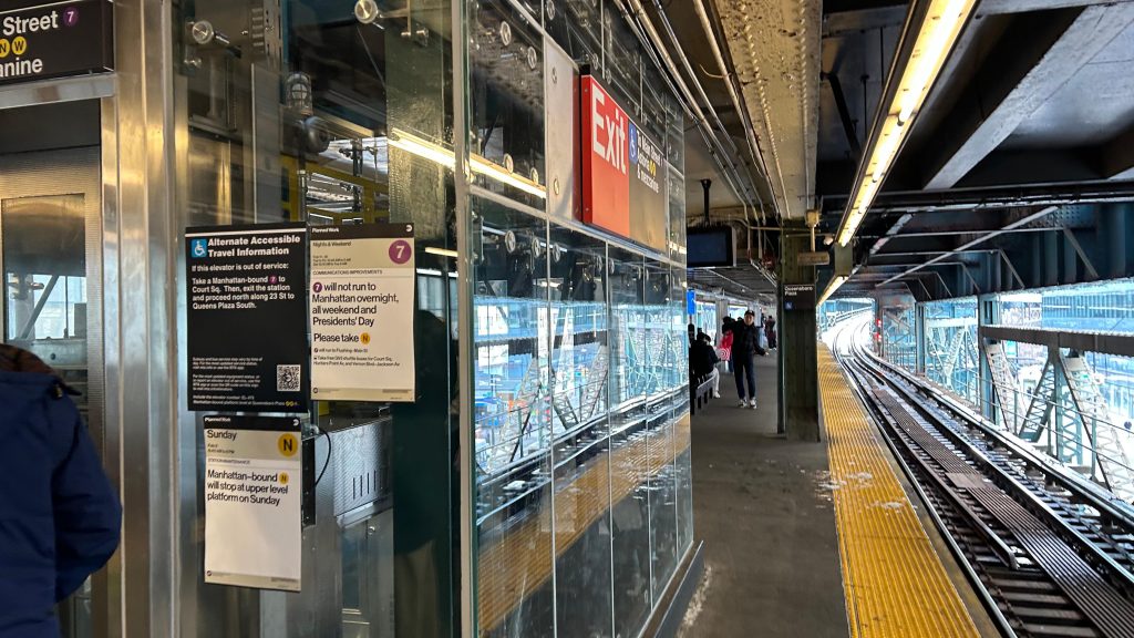
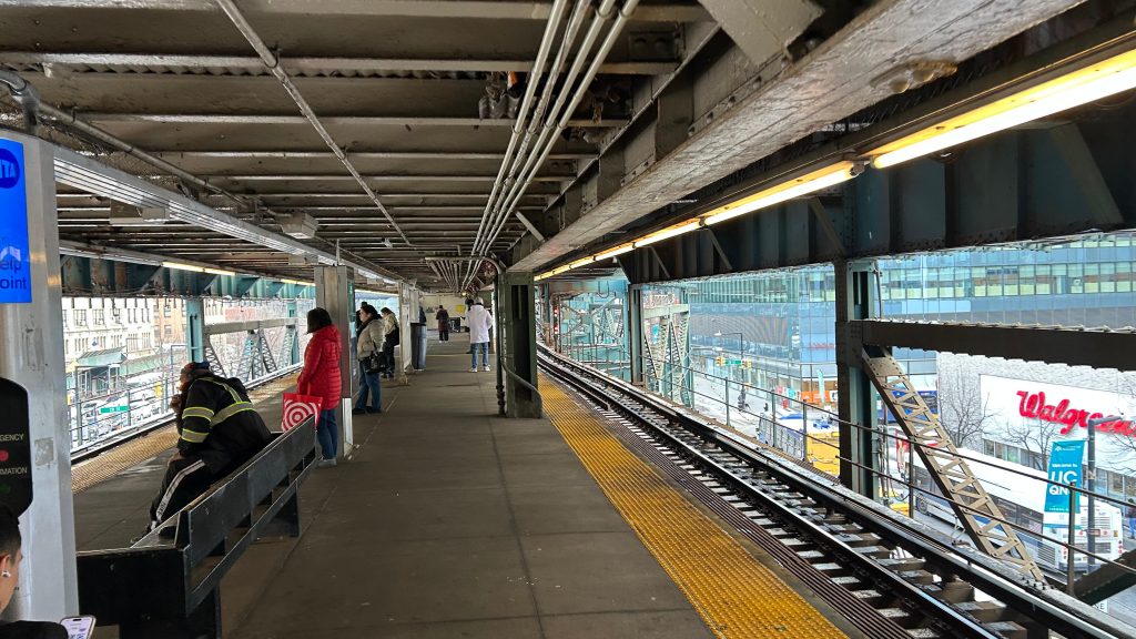
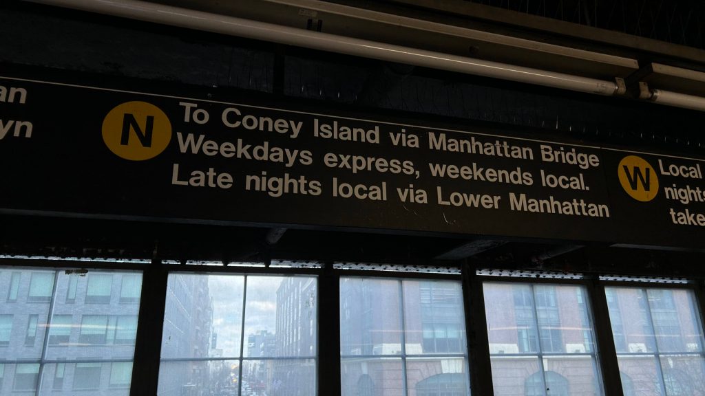
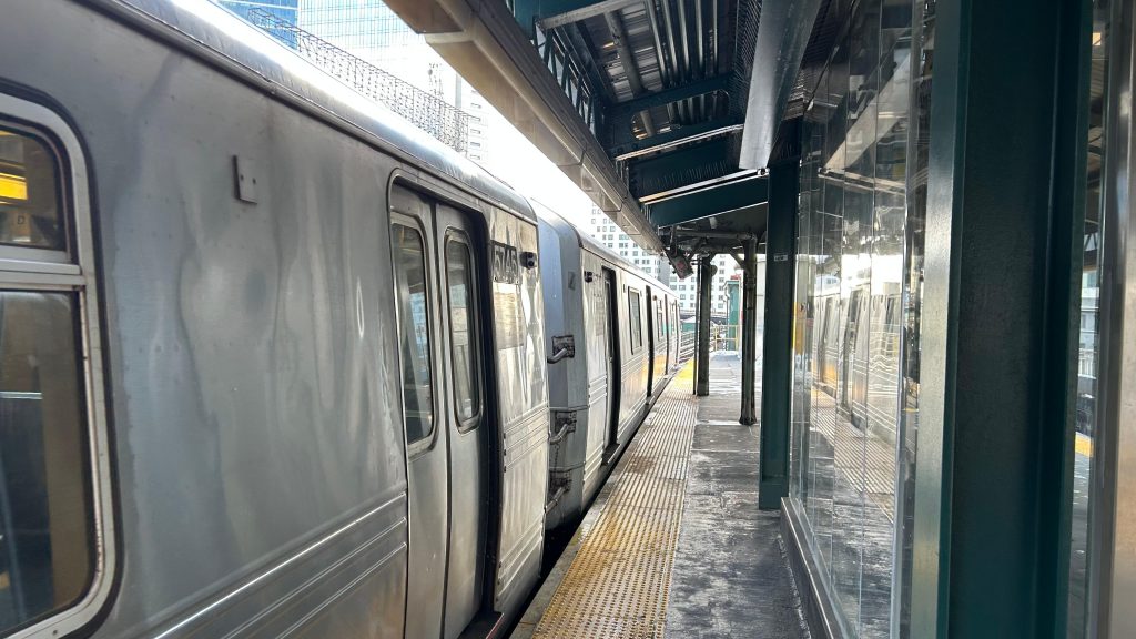
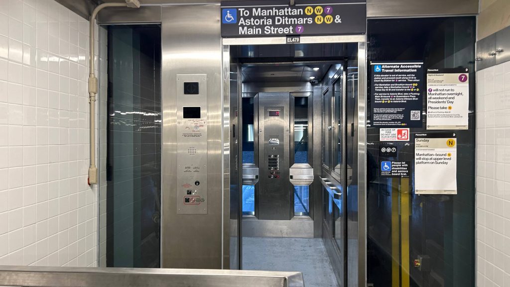
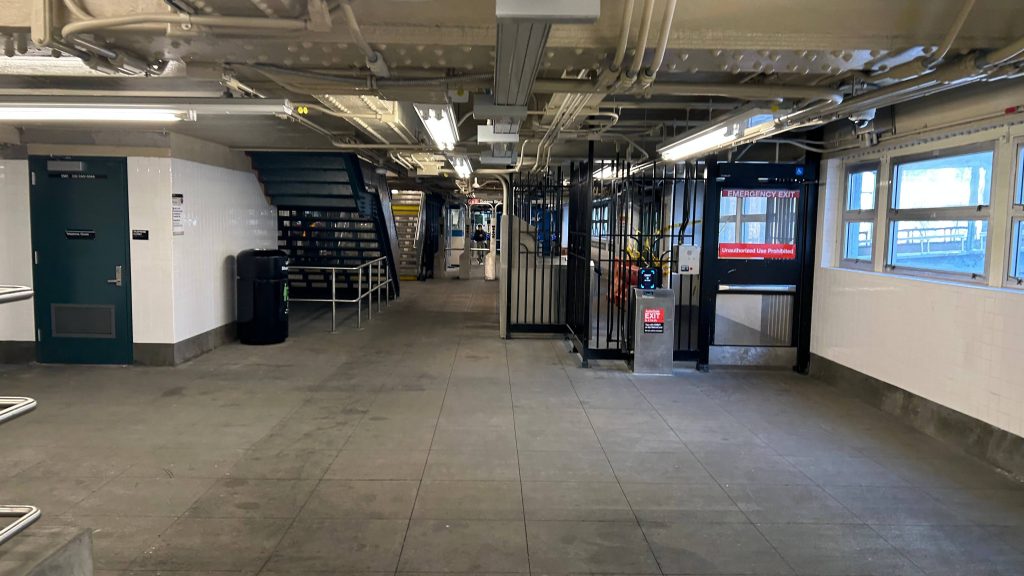
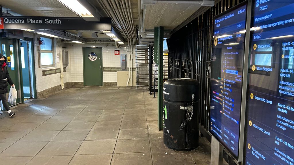
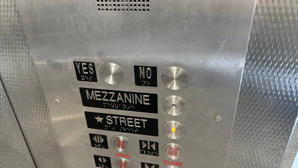
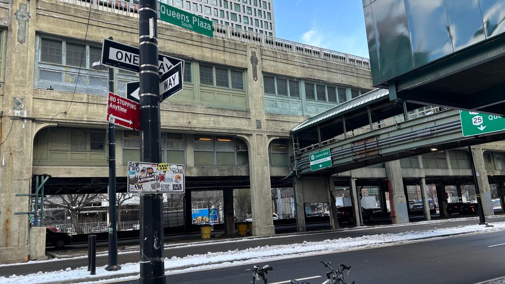
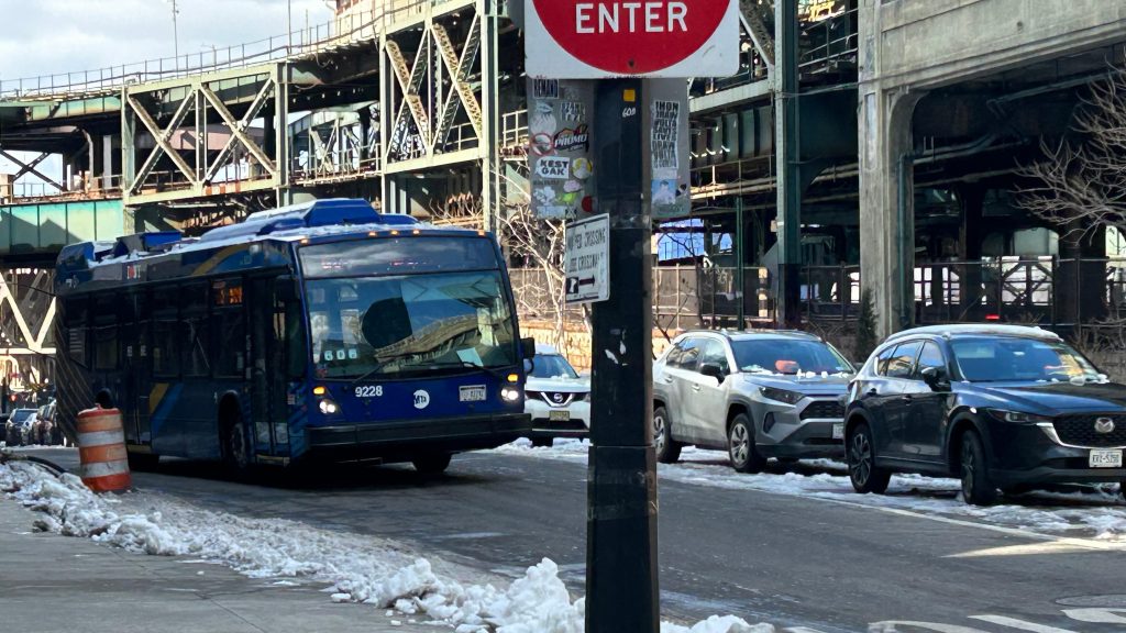
This station is pretty standard in layout. On the lower level, you have downtown trains into Manhattan, with the next stop on the N and W being 59th/Lexington, and on the #7 line being 45th Rd.-Courthouse Square. Of course, this is not to be confused with Courthouse/ICA on the Silver Line in Boston. The upper levels have the uptown tracks for both lines, with the N and W heading to Ditmars Blvd. in Astoria, and the next stop on the #7 line being one covered here – 33rd/Rawson St.’s. This is also a pretty cool railfanning spot for the subway with how the tracks curve away in both directions, to be honest. There’s also elevators to the mezzanine, different countdown clocks for the A and B divisions, and otherwise nothing much to remark. The mezzanine is pretty standard with faregates, Metrocard machines, but no OMNY machine. There’s also restrooms here, but given this is the MTA…….yeah no thanks, I would rather not be traumatized. Sorry! Heading outside, you have stairs to street level and another elevator, of which Rome and I rode (they’re new and didn’t have time to let the piss scent kick in yet). Weirdly, they had “yes” and “no” buttons – cue the looks of confusion. As for buses, the B62 will bring you from here to Hoyt-Schermerhorn and the NYC Transit Museum in downtown Brooklyn, while the other routes will bring you to other places around Queens, including the Q39 to Ridgewood, the Q69 (hehe nice) to Astoria, and the Q102 to Roosevelt Island. Overall, not a bad station! And, pretty cool actually!
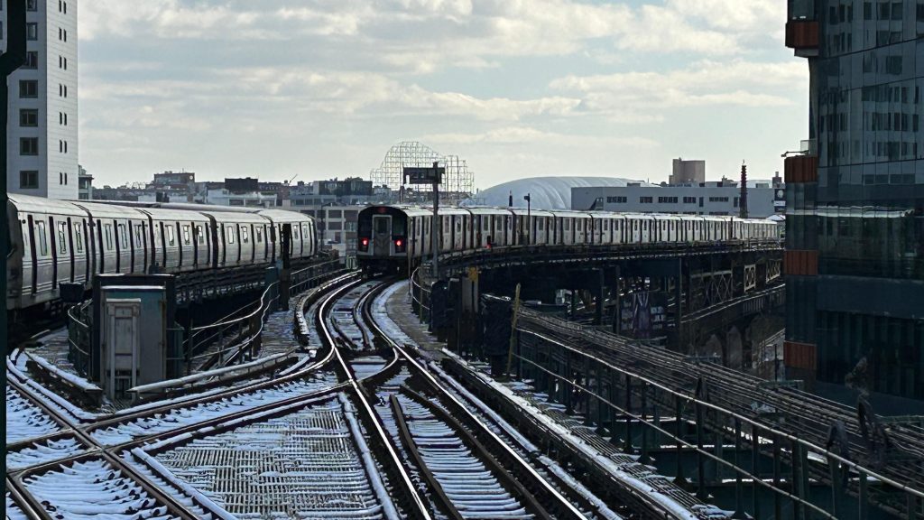
The good: It’s an important transfer station between the A and B divisions and, weirdly enough, the only chance to do such a transfer in Queens (yeah, the IRT didn’t really do much in Queens). It’s also accessible, and primarily exists to serve LI City. It also serves as an accessible alternative to inaccessible stations nearby on the N line in particular (the #7 line doesn’t face this issue as badly, as Court Square’s #7 platform is accessible, and 33rd St. is not too close by). It’s also a cool spot for railfanning!
The bad: Yes???? no????? On a more serious note, the station looks a bit old, but functionally there’s really nothing offensively bad. However, I am kinda scared to peek into the restroom.
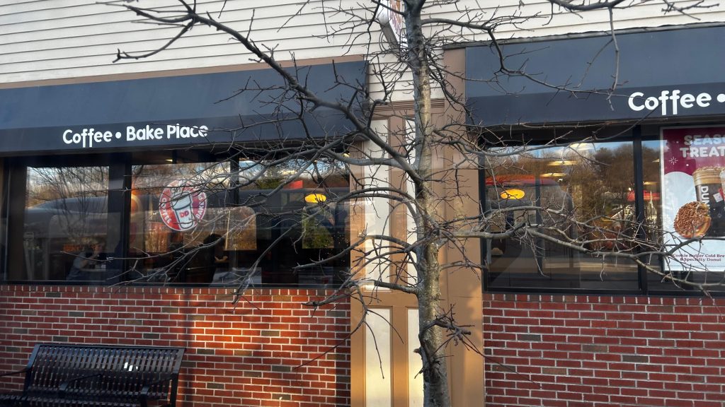
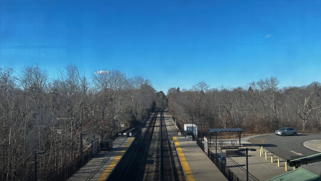
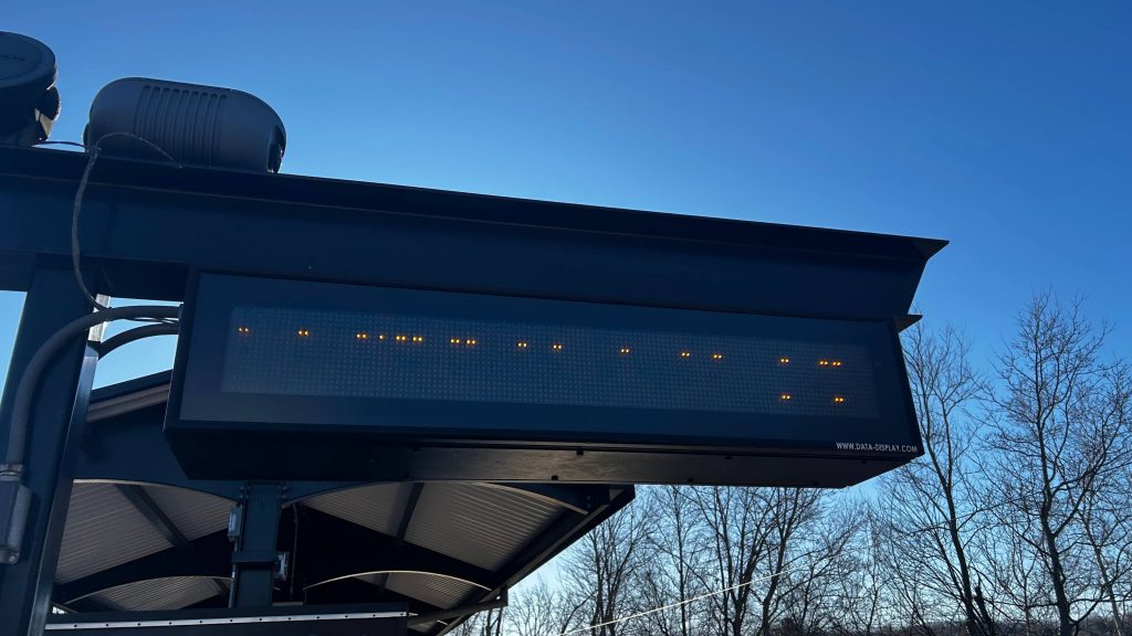
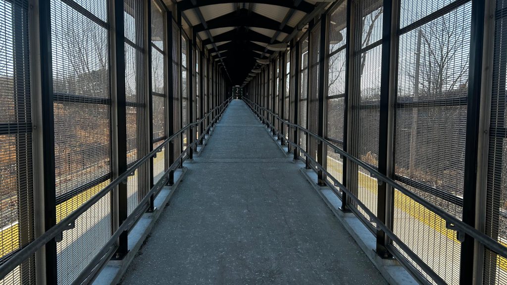
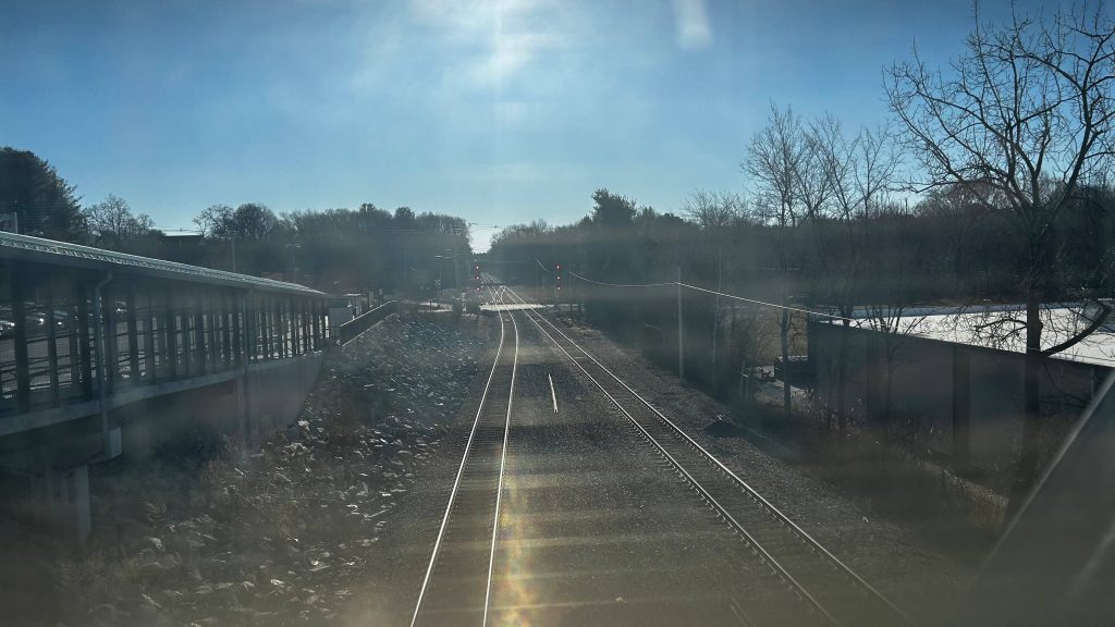
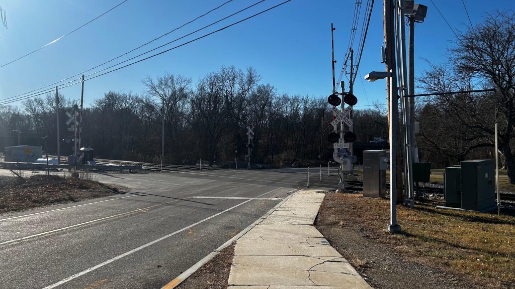
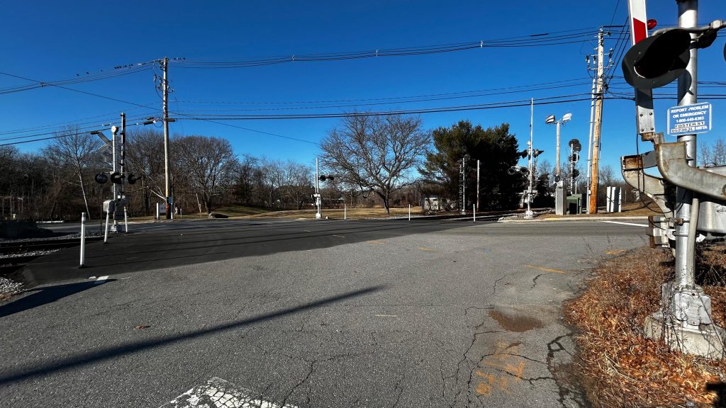
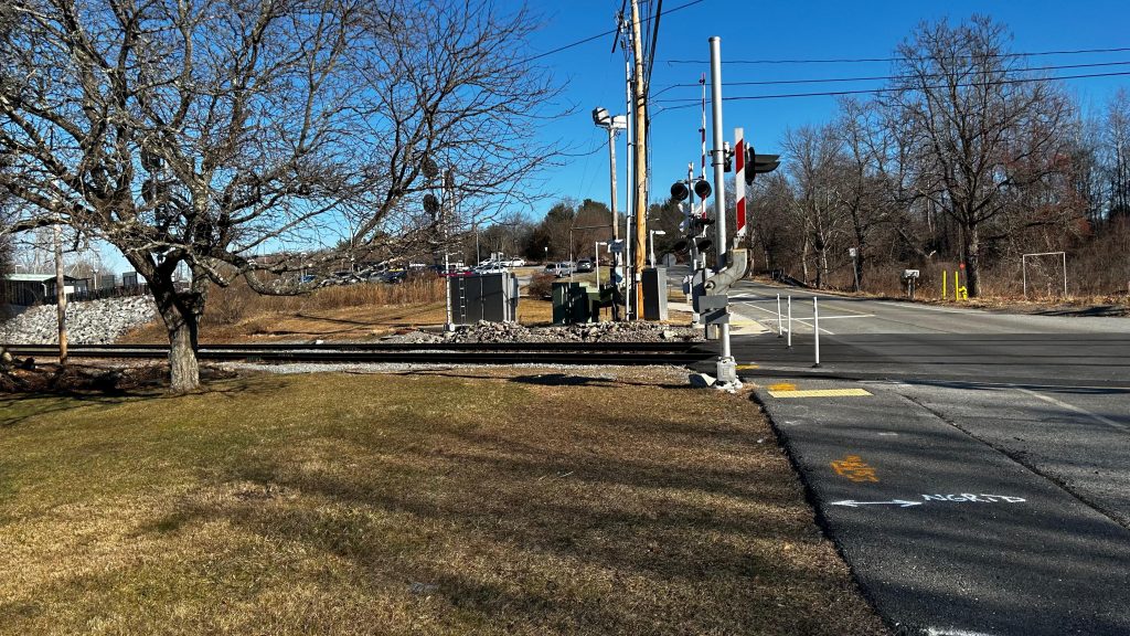
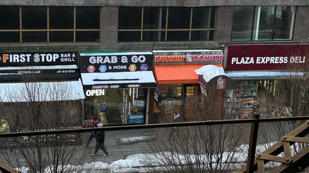
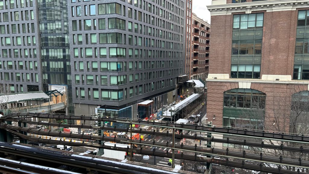
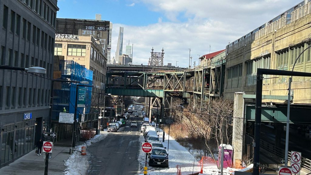
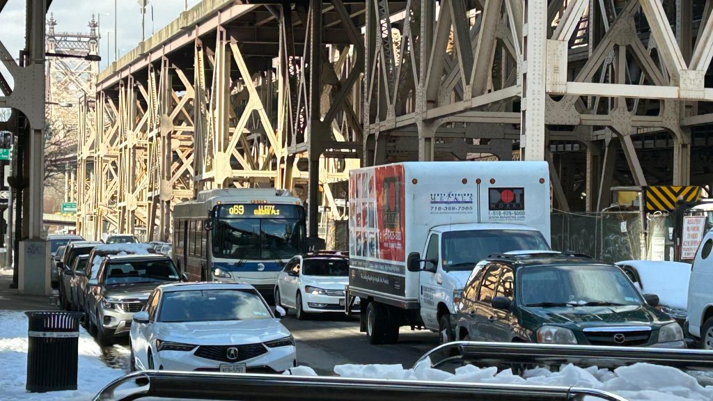
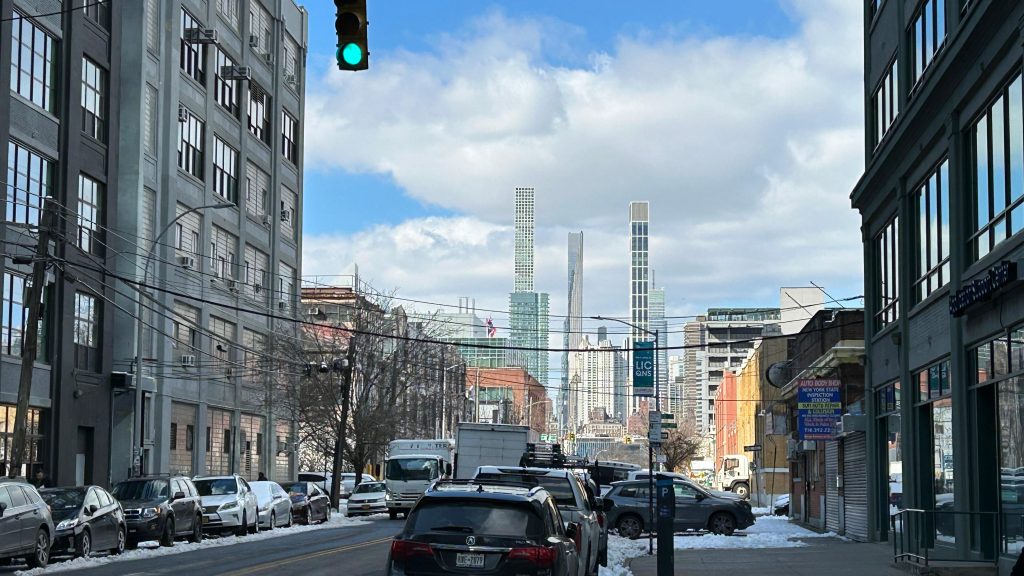
Nearby points of interest: For railfans, the station itself is a point of interest! The Northeast Corridor is also a short walk away! For stuff outside the station, there’s a USCIS office nearby, Silvercup Studios (you can see the famed sign from the #7 line!), JetBlue HQ, and even an Ecuadorian consulate! Other than that, it’s mostly corporate offices and your usual Dunkin’, Checkers, etc., albeit in a heavily gentrified neighborhood. Make as you wish of that.
Transit connections:
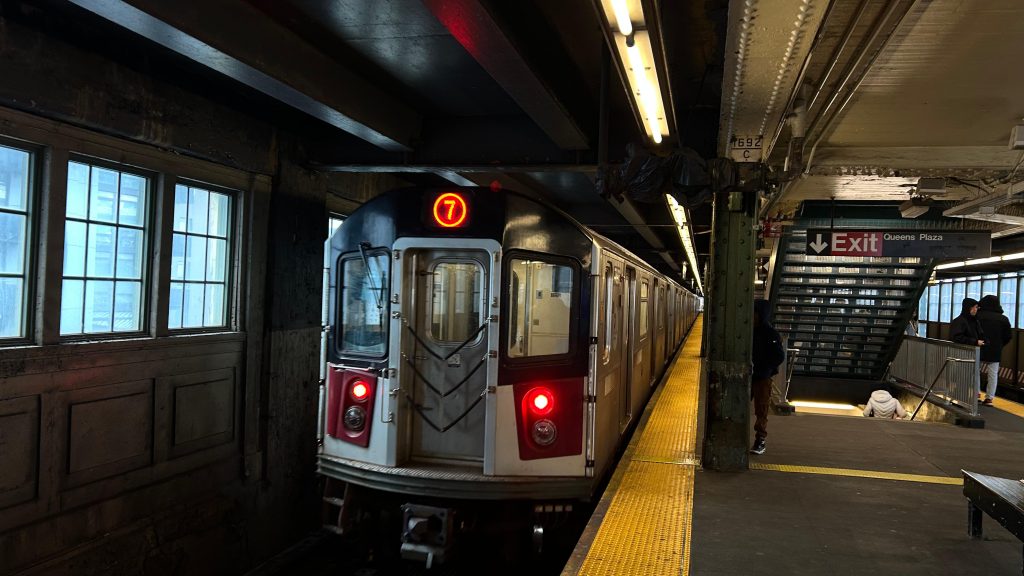
Flushing Line (#7)
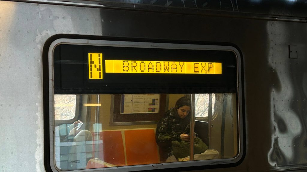
Broadway Line (N, W)
MTA bus (B62, Q32, Q39, Q60, Q66, Q67, Q69, Q100, Q101, Q102)
Overall, it’s actually a pretty cool station, and I don’t have much to say negatively about it, and in terms of functionality, it’s one of my favorites on the MTA subway. Woohoo! However, the fact there’s restrooms scare me with what horrors lie within. D:
Rating: 7.5/10