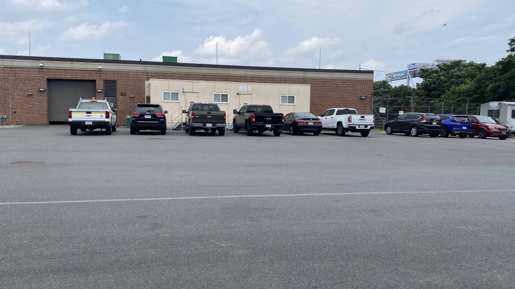
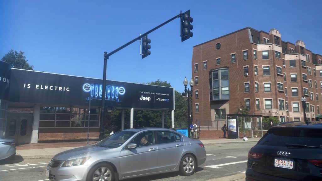
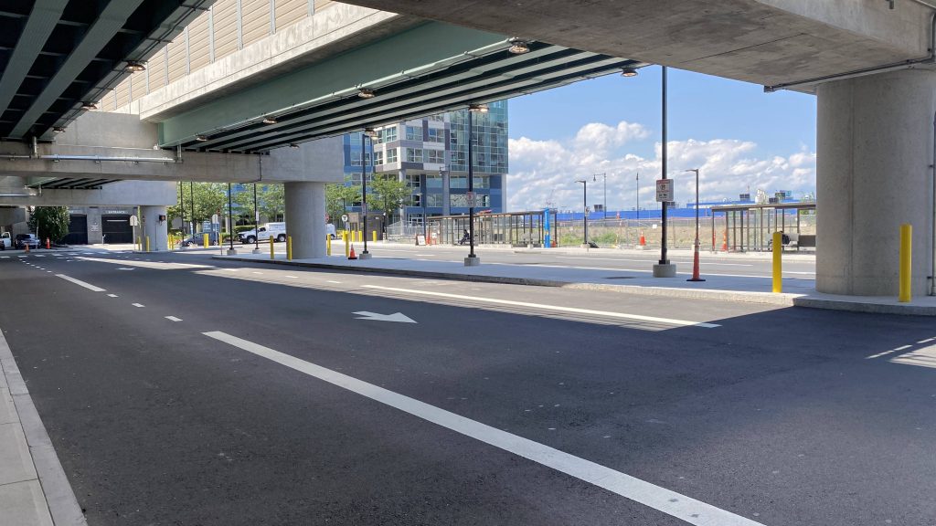
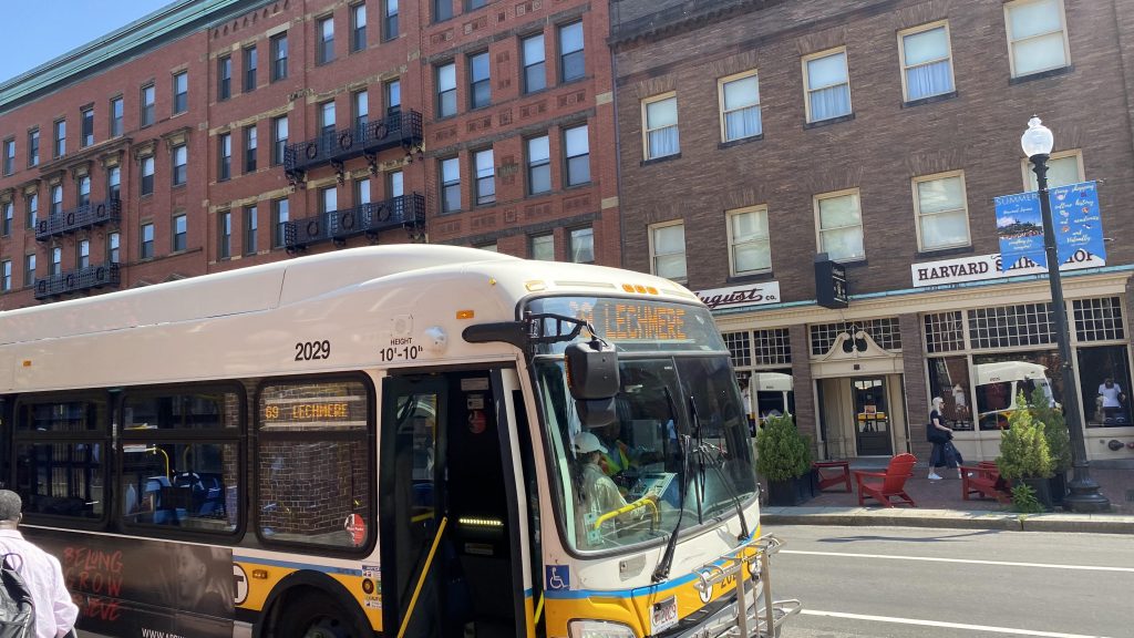
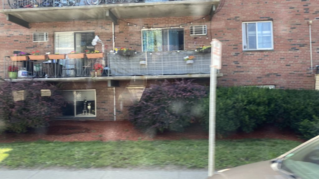
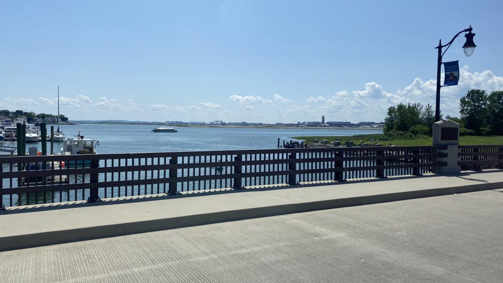
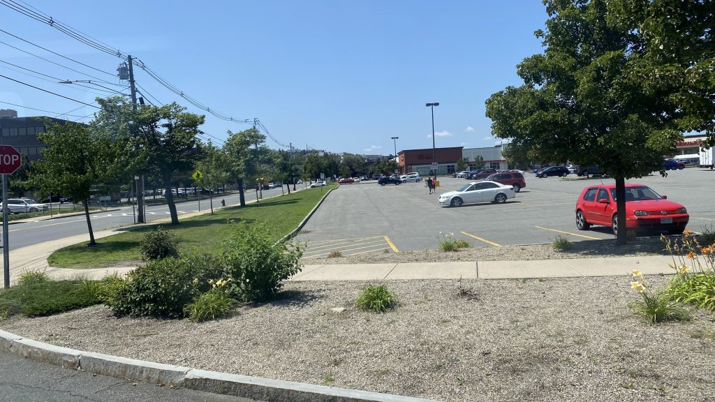
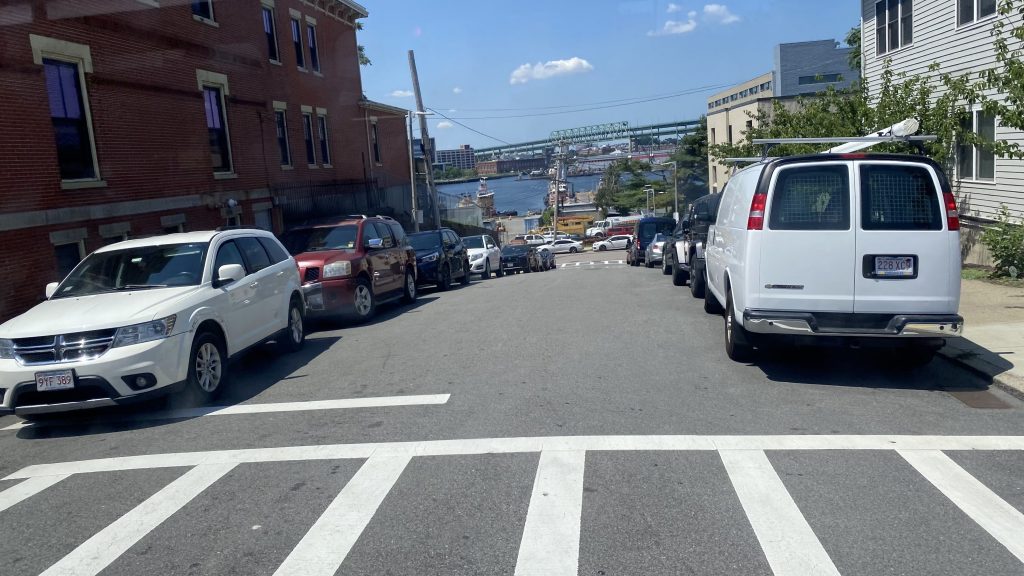
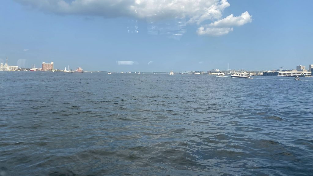
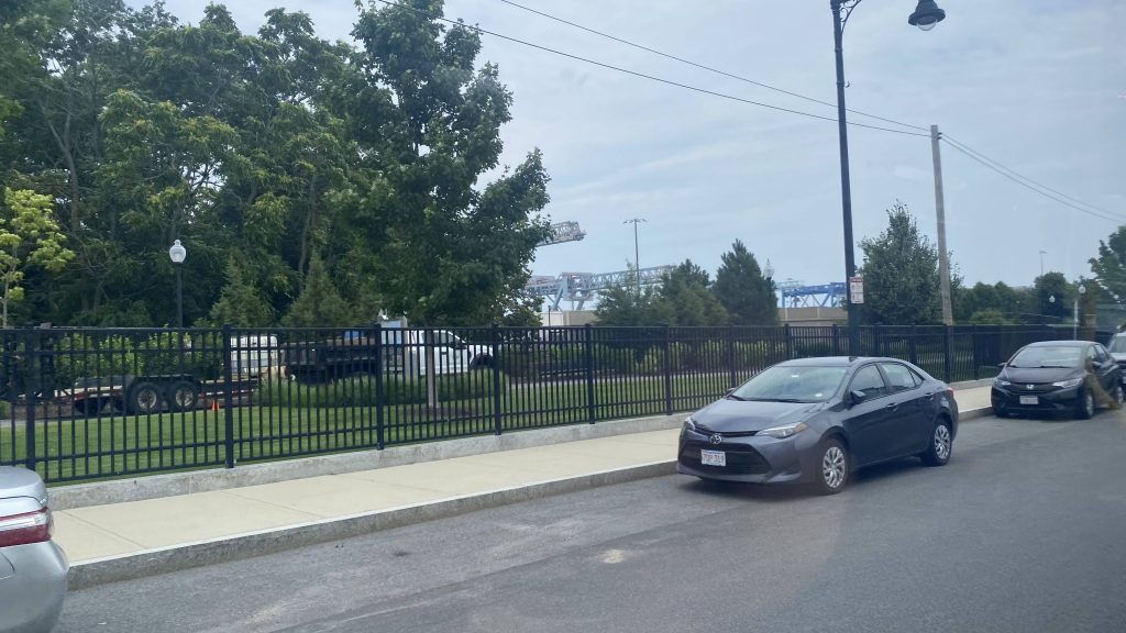
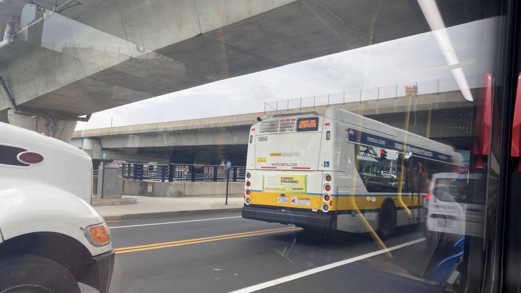
Oh, City Point, how there be seemingly nothing major around it to be worth sticking around (as of me writing this). So, after going there, I was hoping to take the 7 back to Downtown Crossing, but that wasn’t going to happen given its headways, and the 9 was next. So, onwards to Copley Square I go!
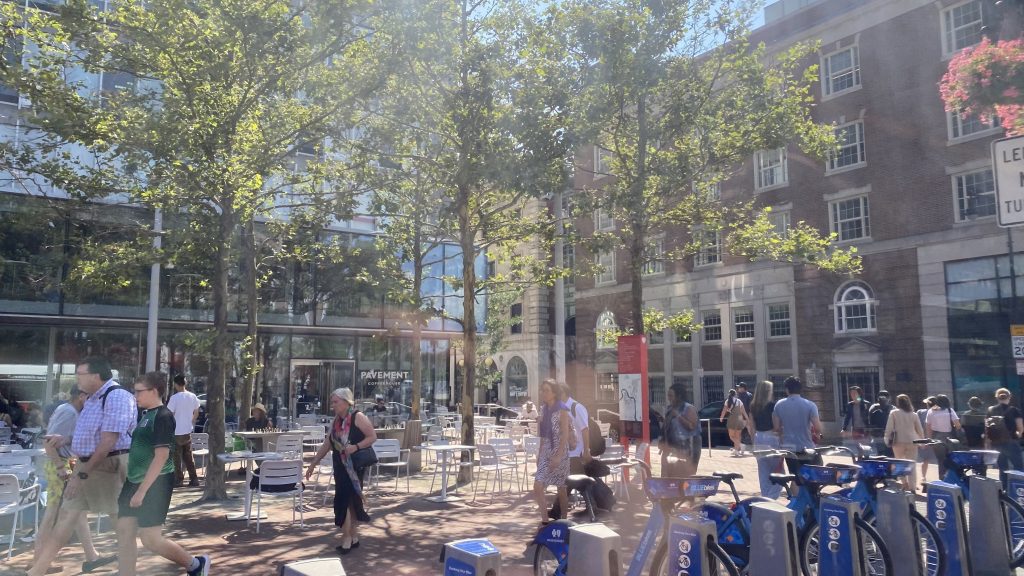
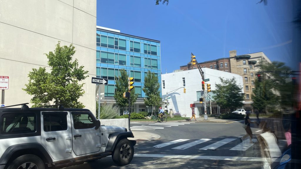
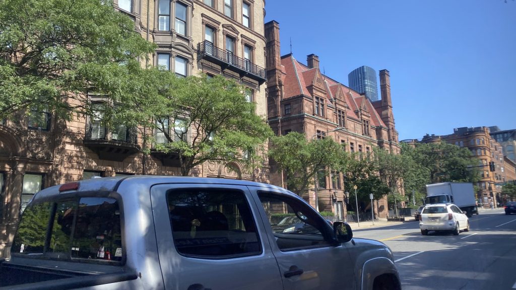
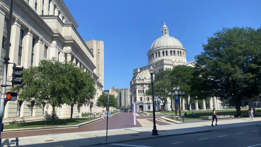
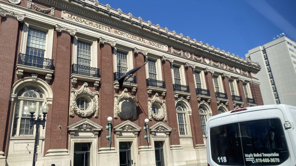
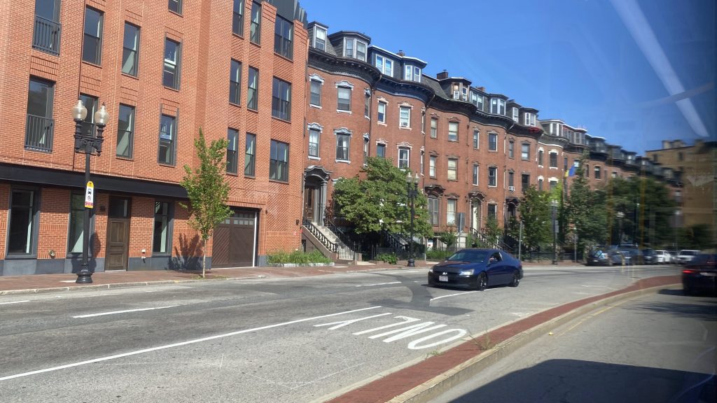
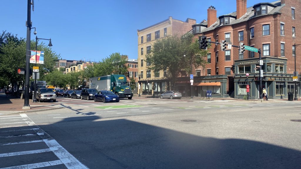
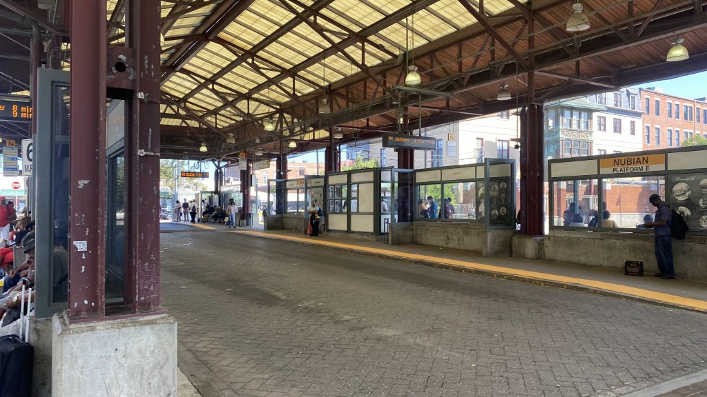
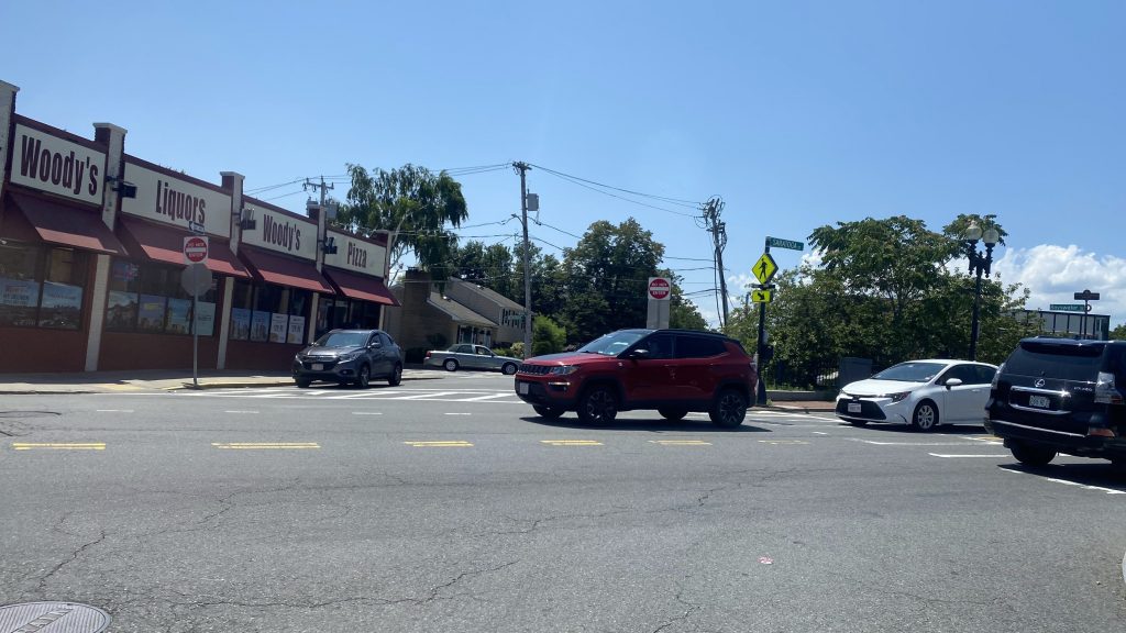
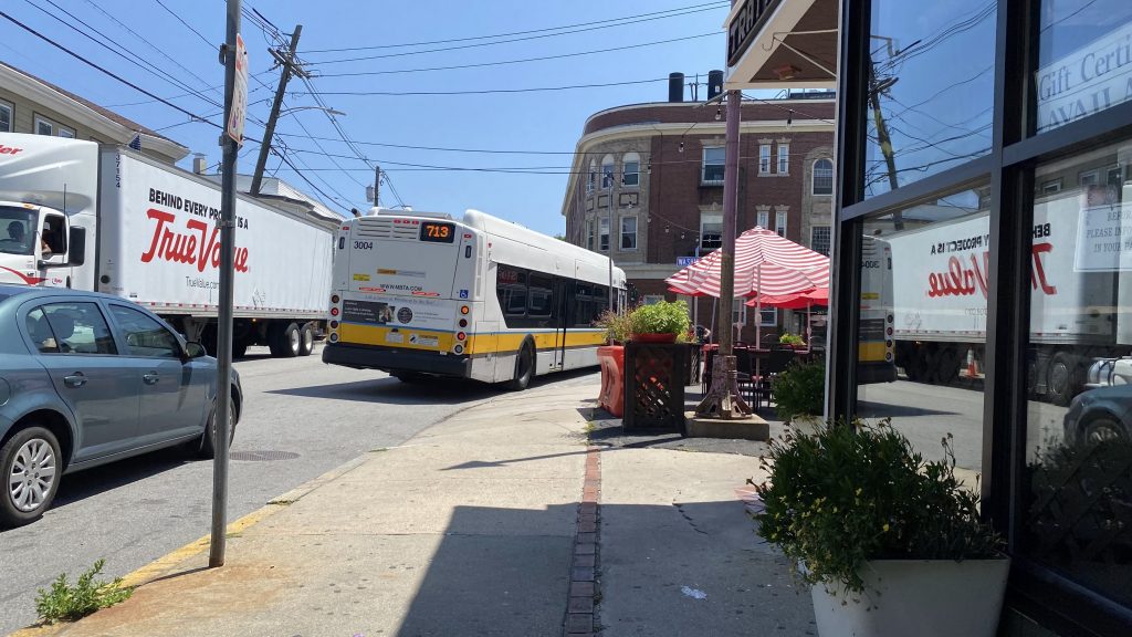
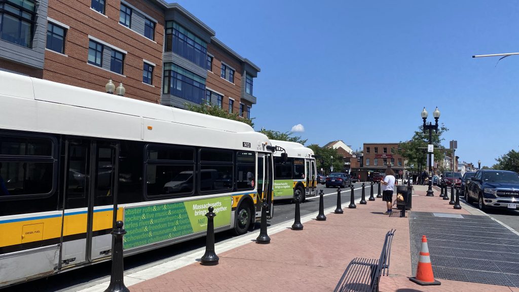
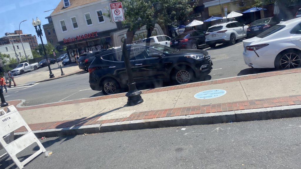
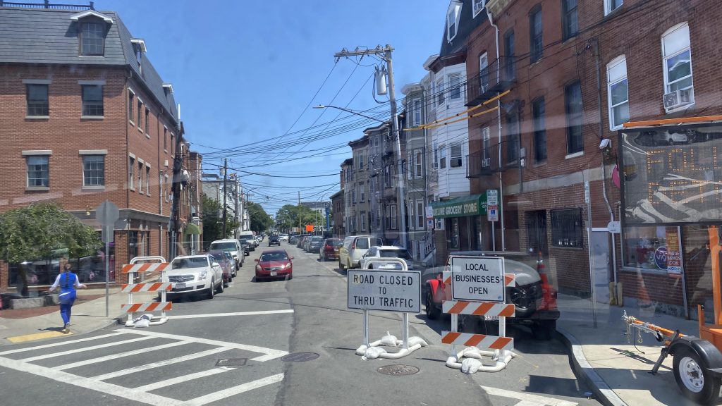
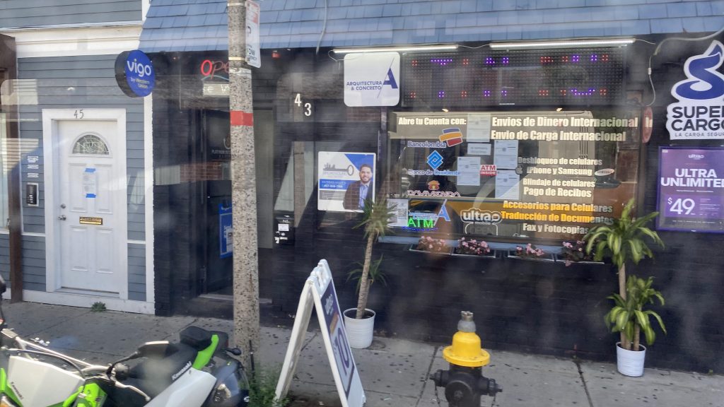
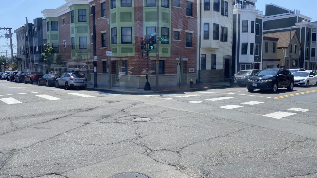
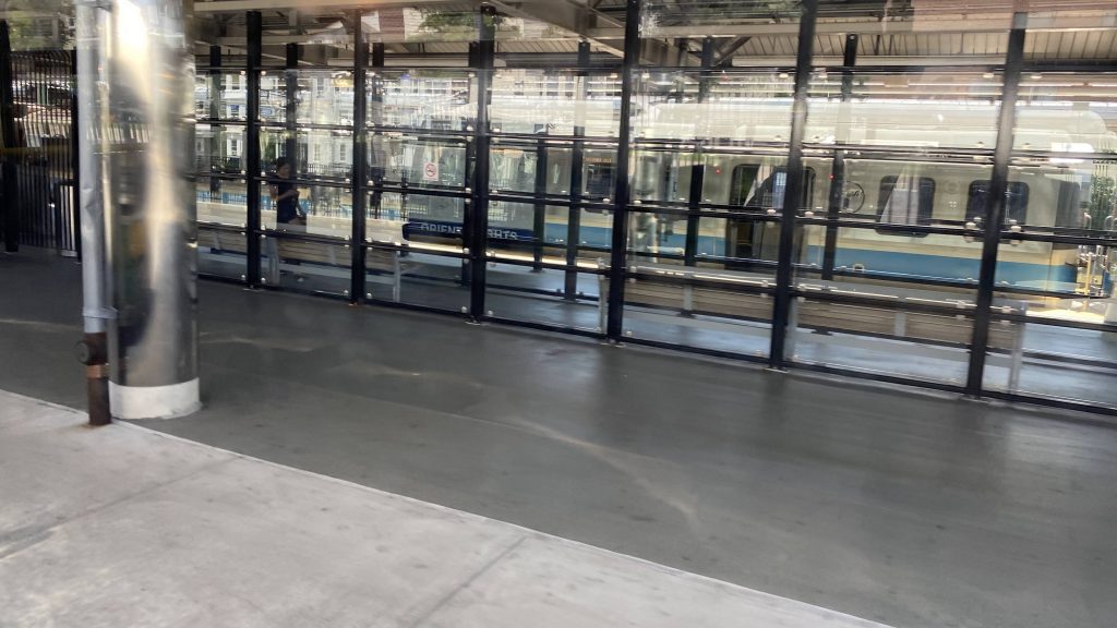
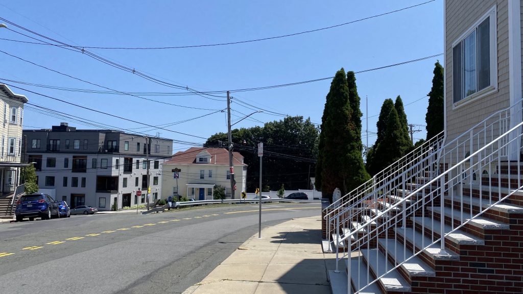
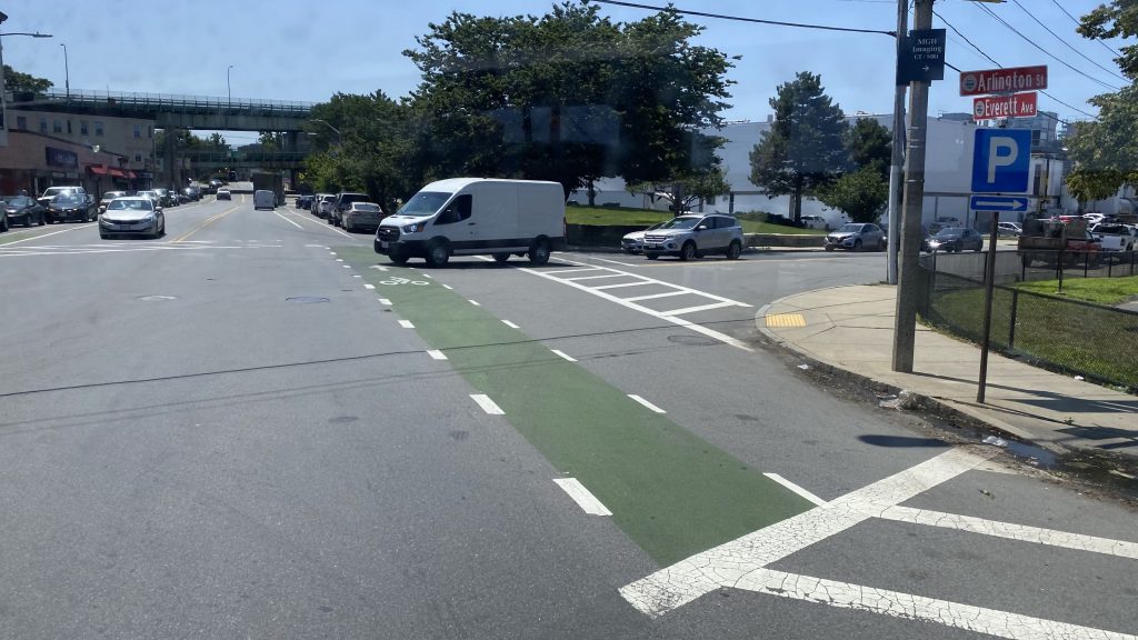
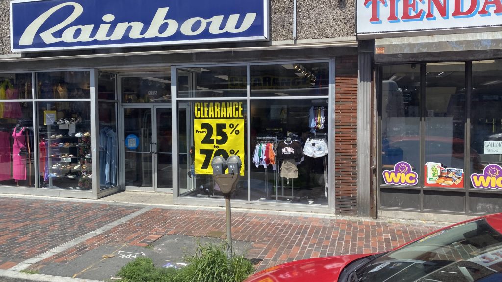
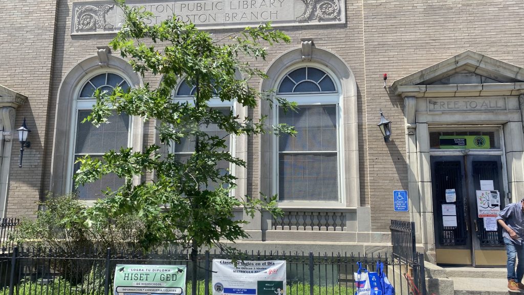
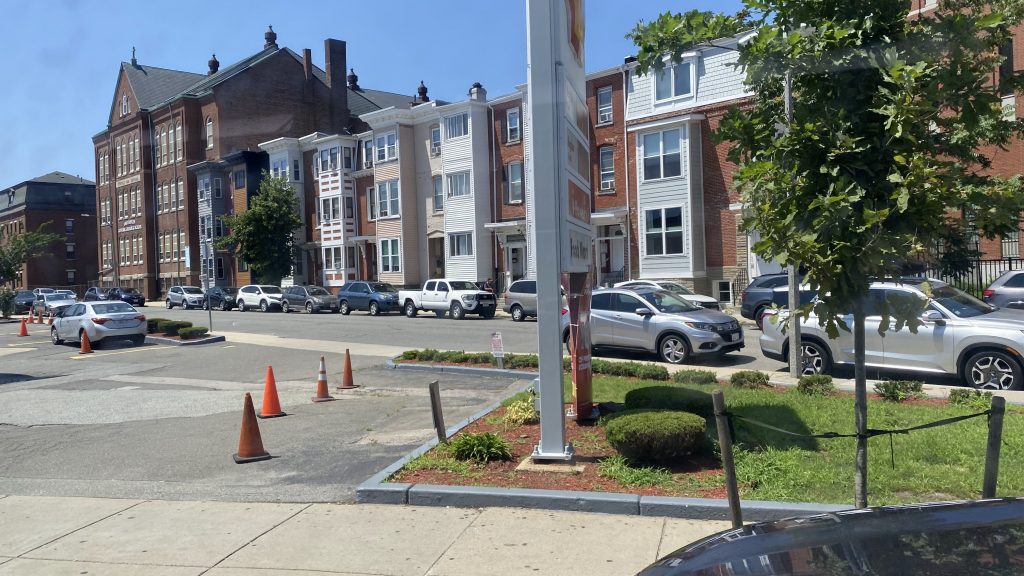
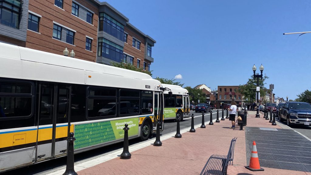
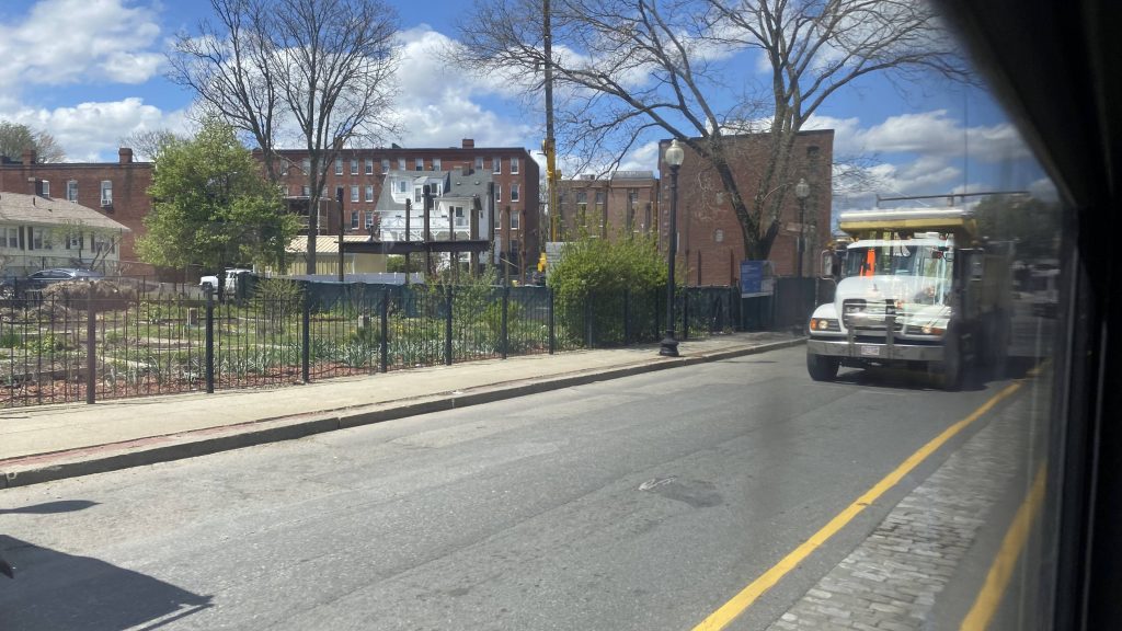
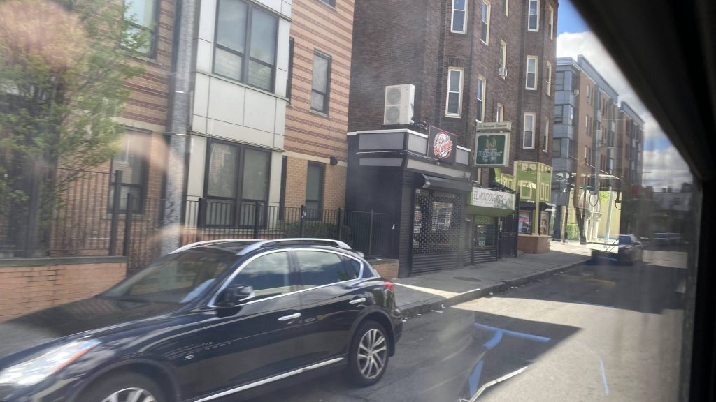
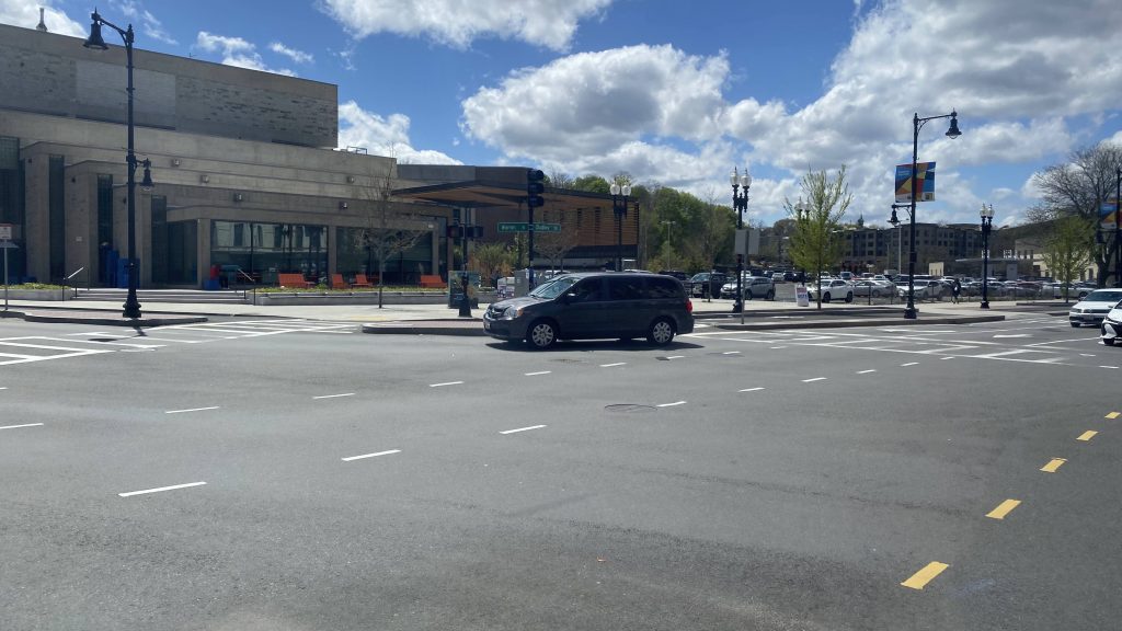
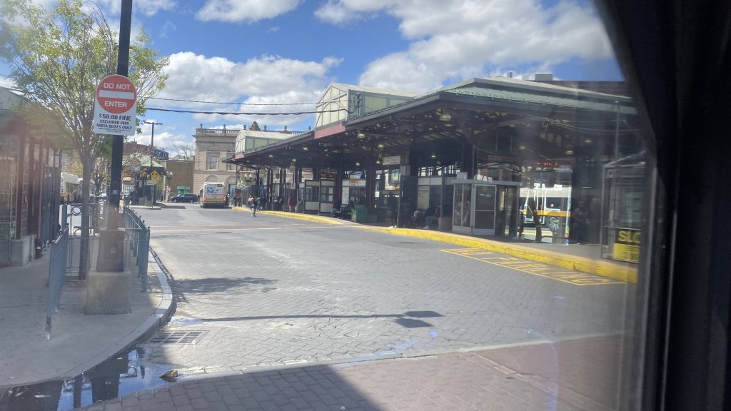
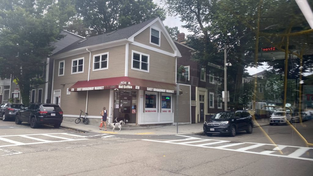
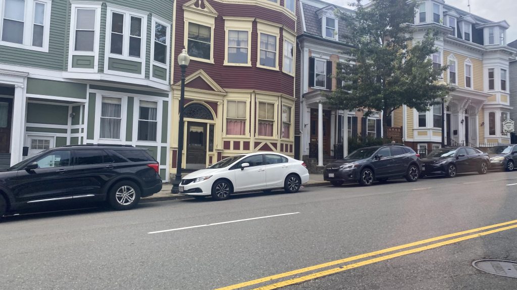
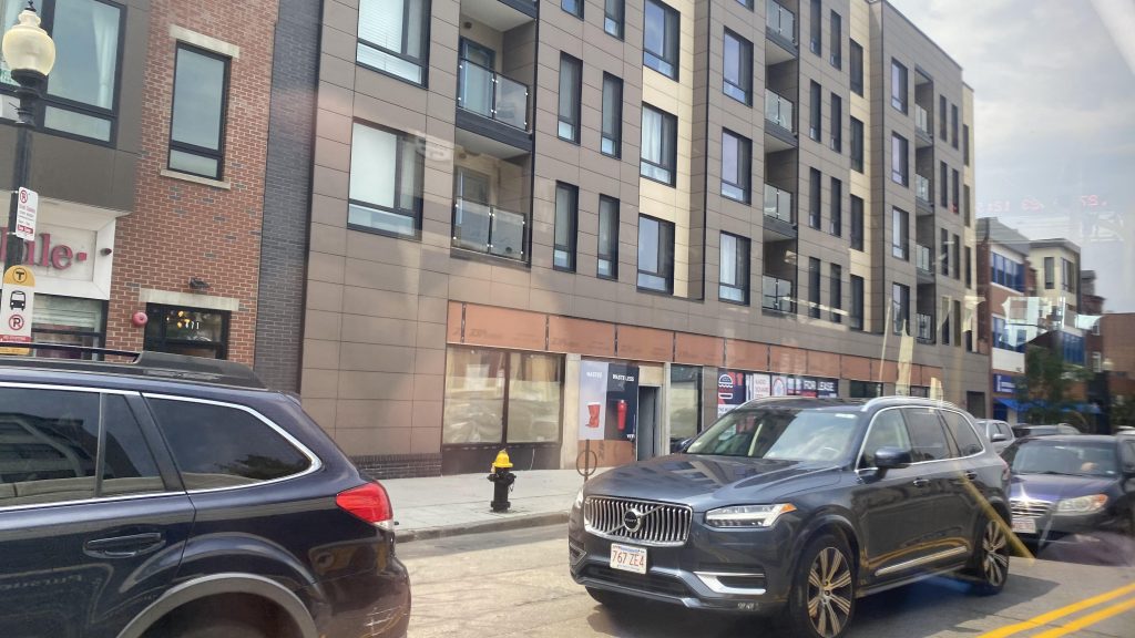
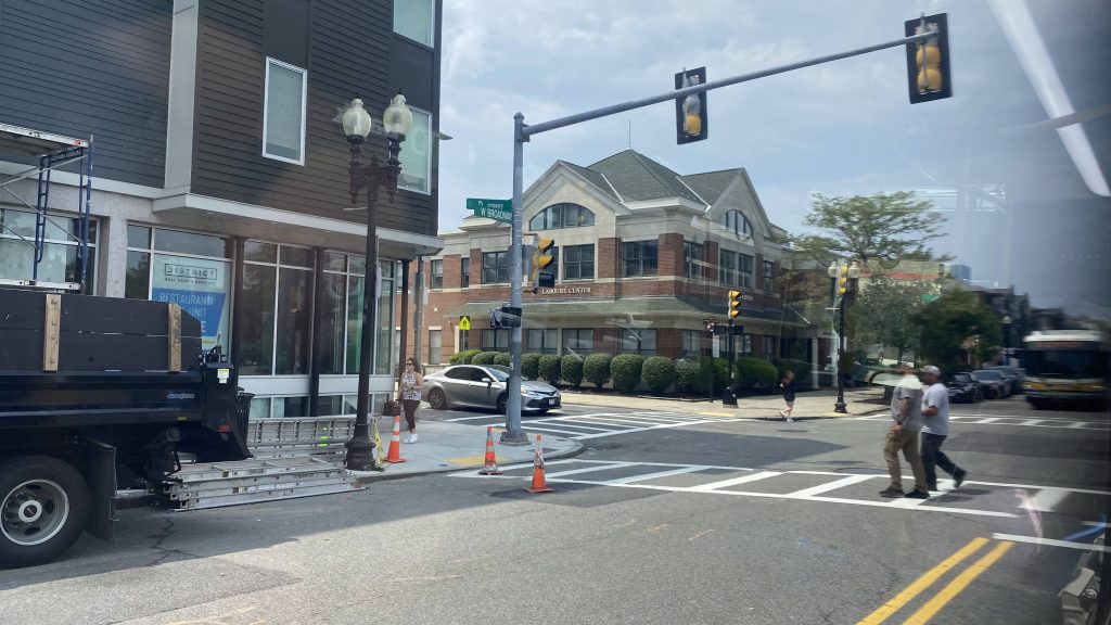
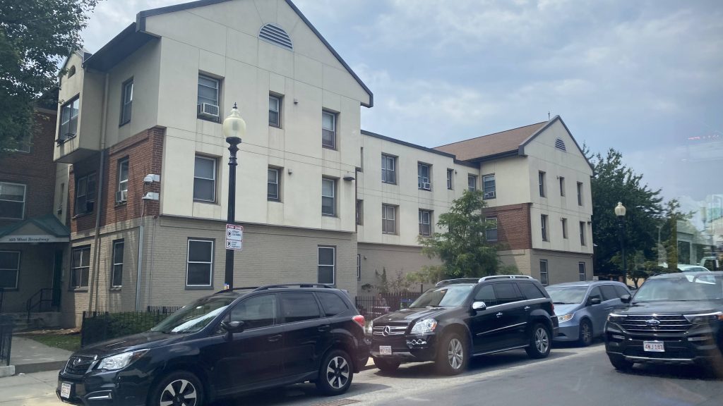
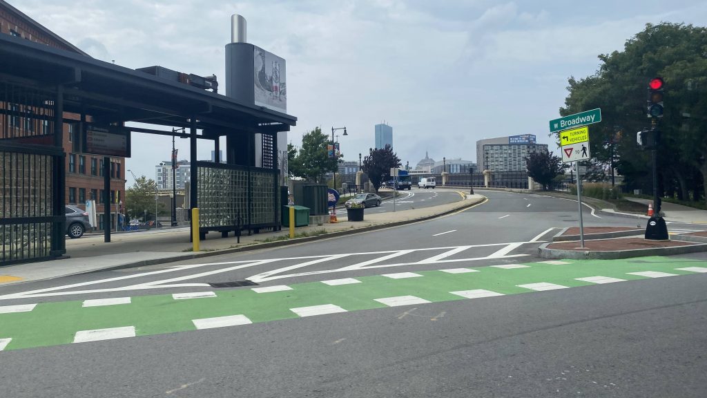
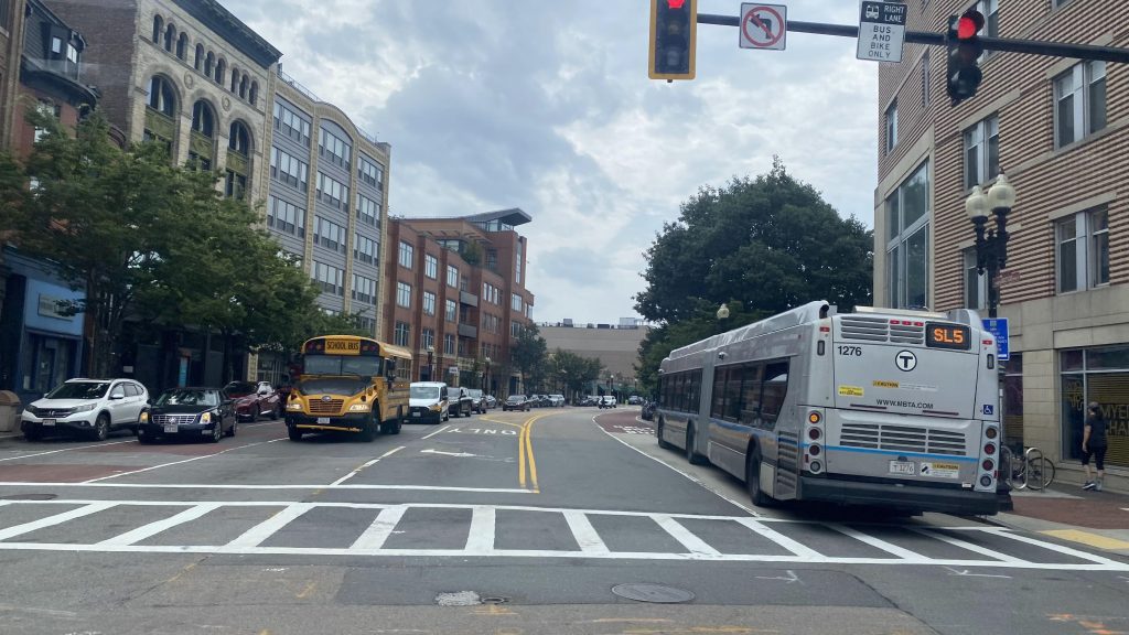
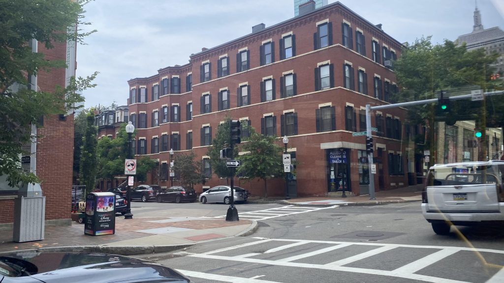
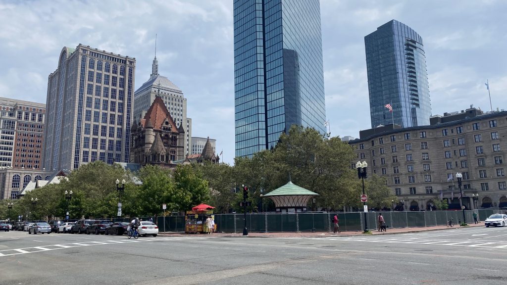
So, the 9 goes down P Street and East Broadway. At this point, a few people start getting on the bus and it gets a little full, and from here we continue passing by the many shops lining the road. Eventually, a young lady calls out a guy for taking pics of her, with him denying. “What a creep.” I thought to myself, as I give him the death glare. Soon enough, we turn onto West Broadway, and eventually pull into the Broadway Red Line station. And from here, the route gets a little weird. You see, runs towards City Point go via Herald Street and straight past Broadway, while runs towards Copley have to do a loop to safely serve the station before proceeding up East Berkeley Street. After a bit further, as we crawl through the South End and into Back Bay, we eventually reach and loop around Copley Square, terminating at the Dartmouth Street bus stop outside the Boston Public Library.

The good: It’s an important connection between South Boston and Copley Square, as well as the Red Line and Green Line! Headways and service span are also pretty decent as well!
The bad: It’s annoying how the bus goes down separate roads. The loop is also annoying but it exists for safety reasons.
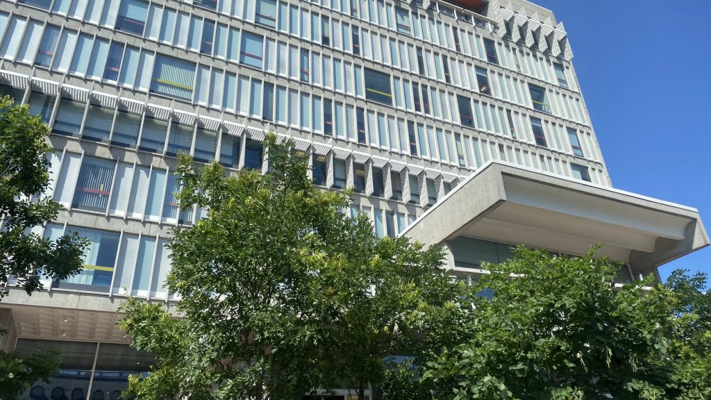
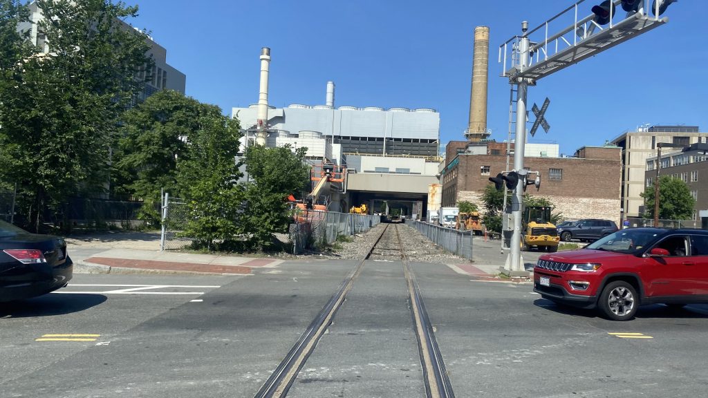
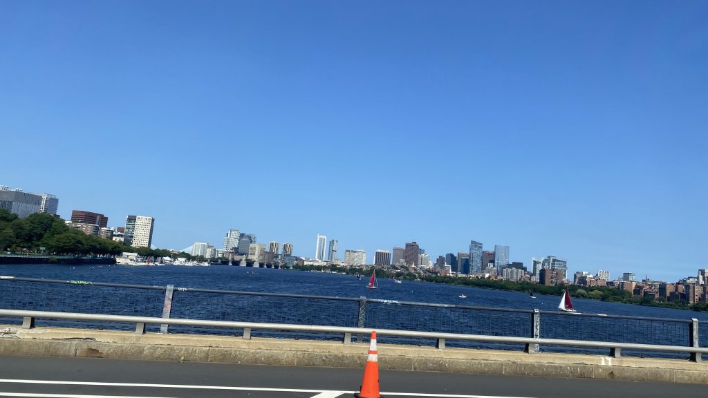
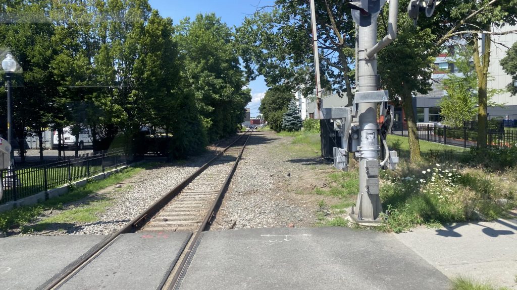
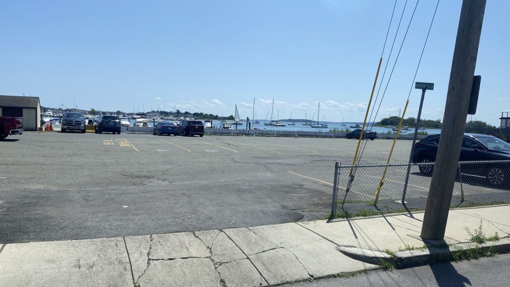
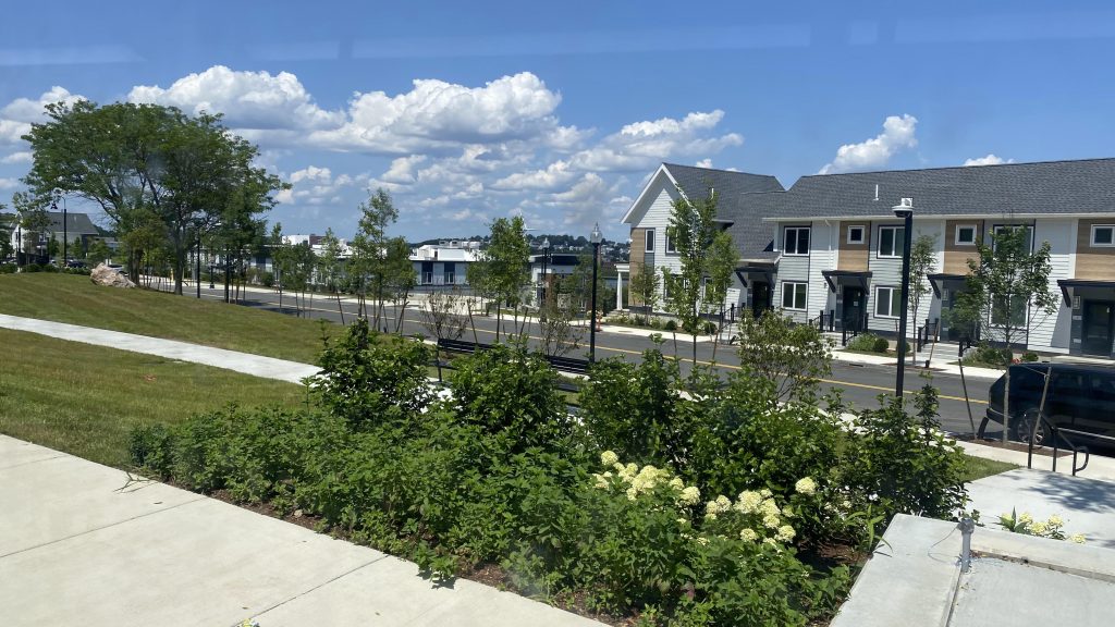
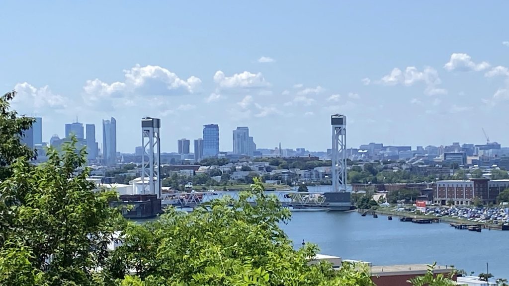
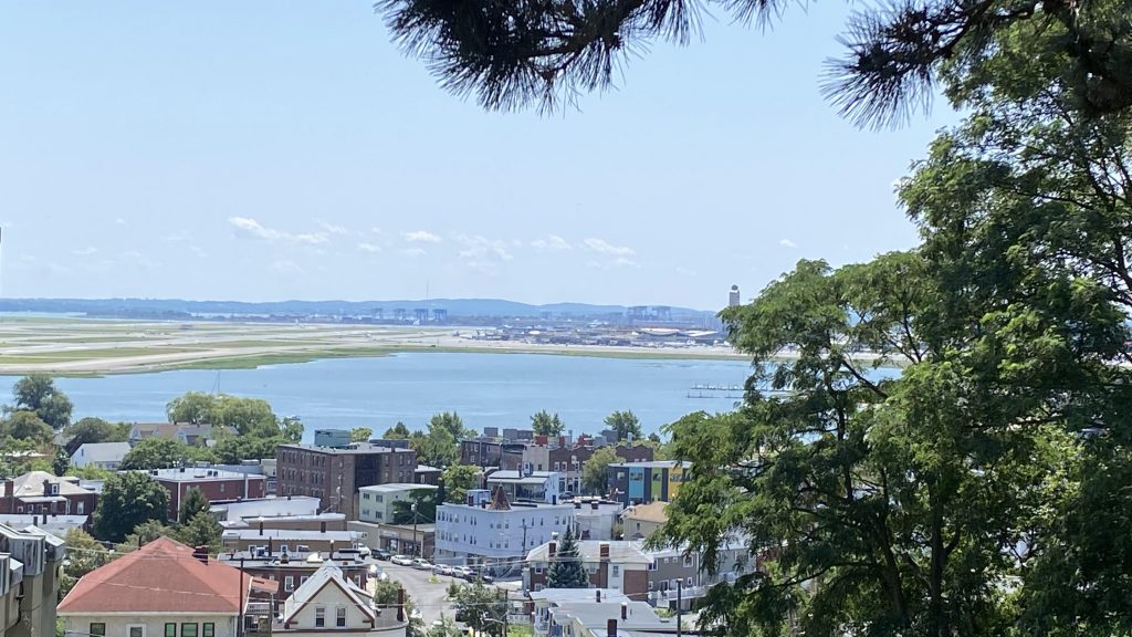
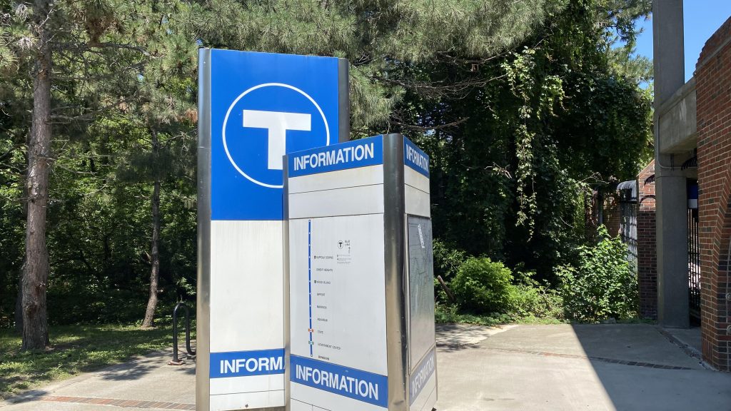
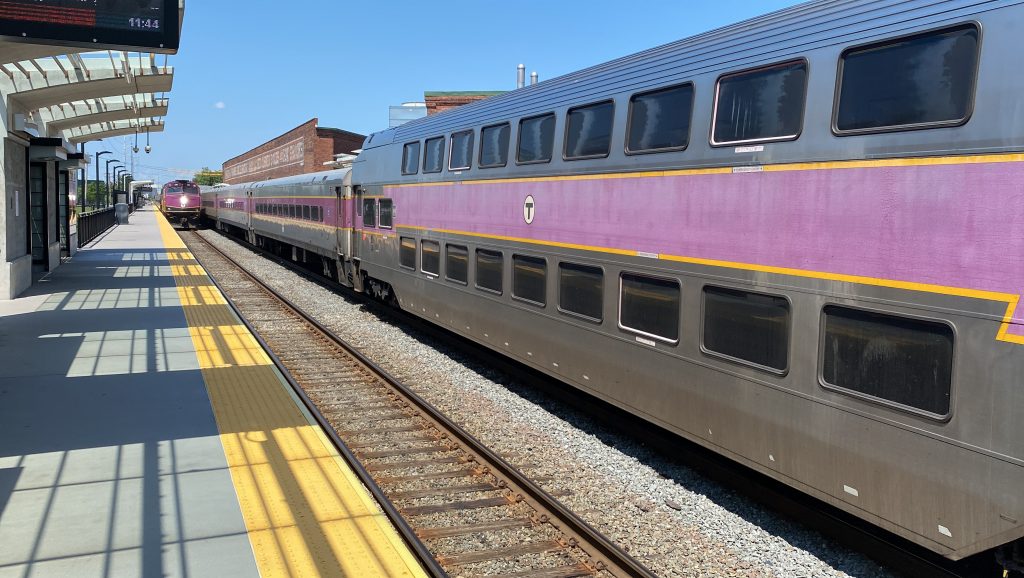
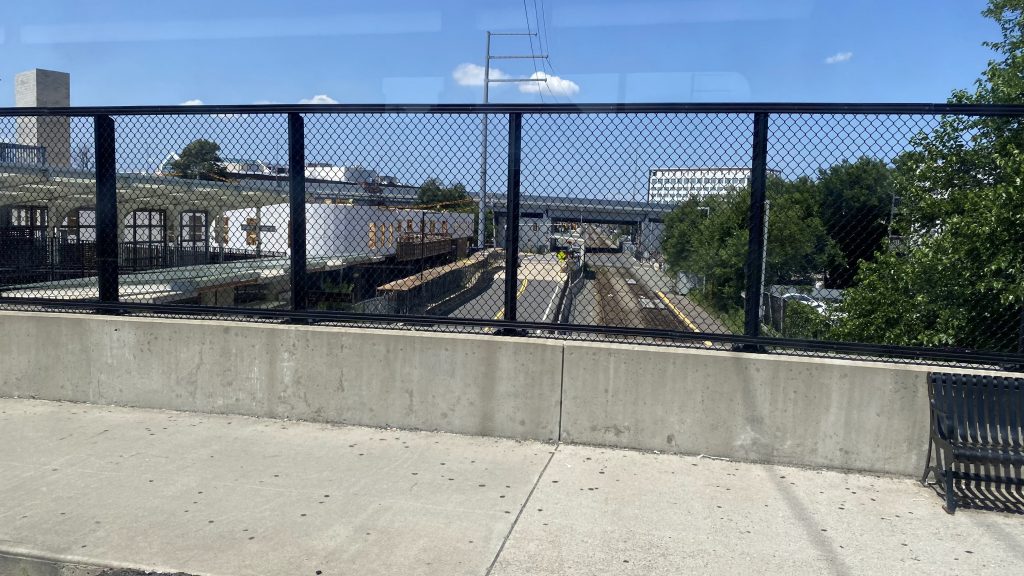
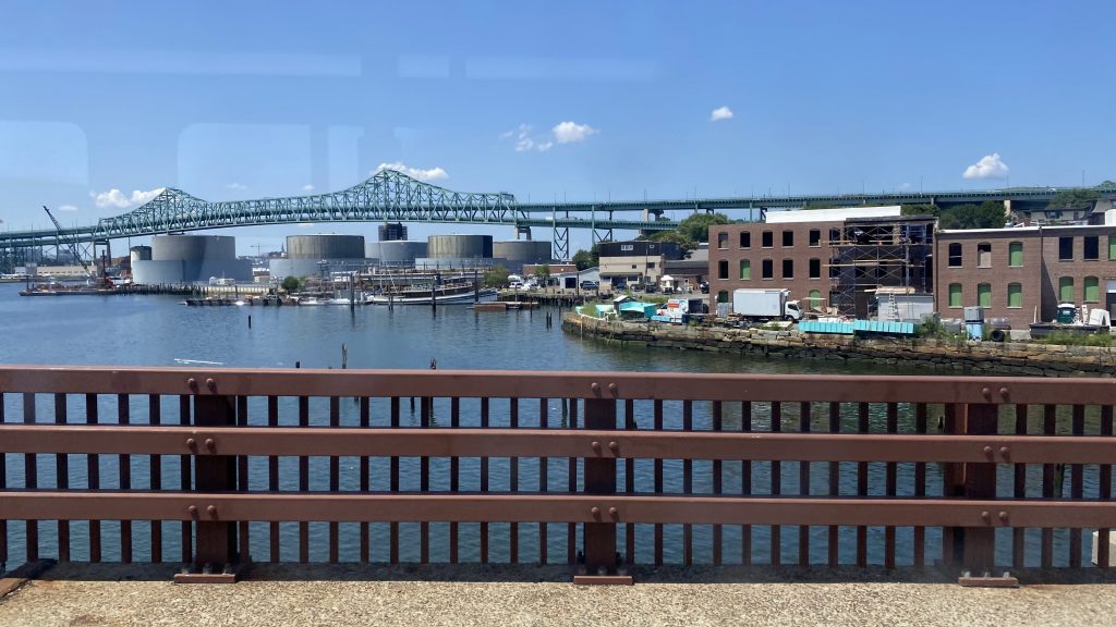
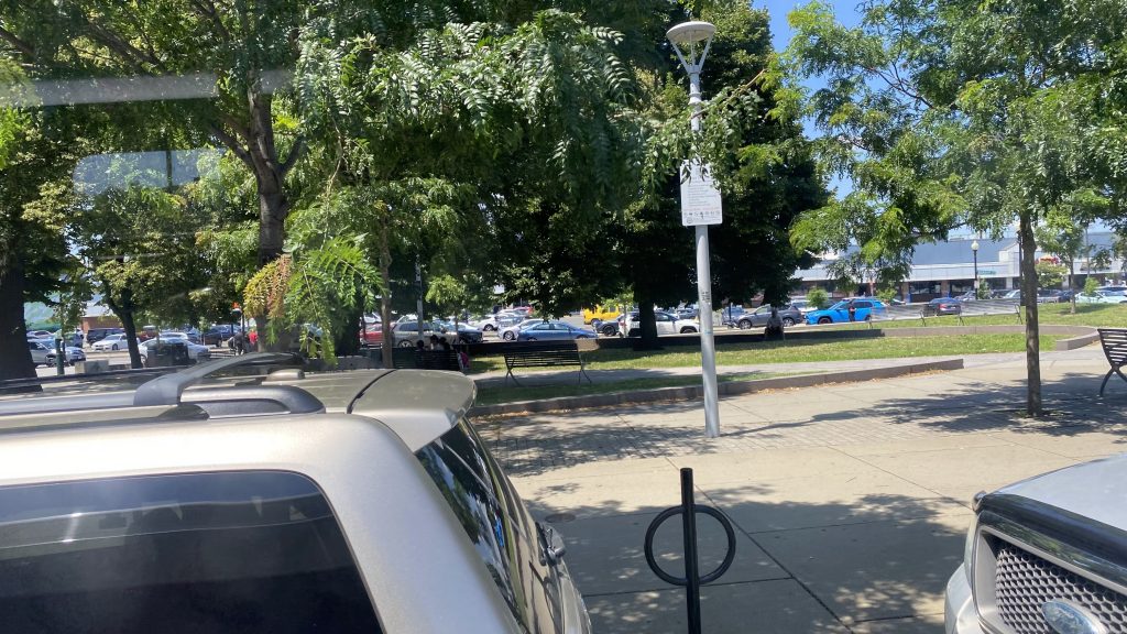
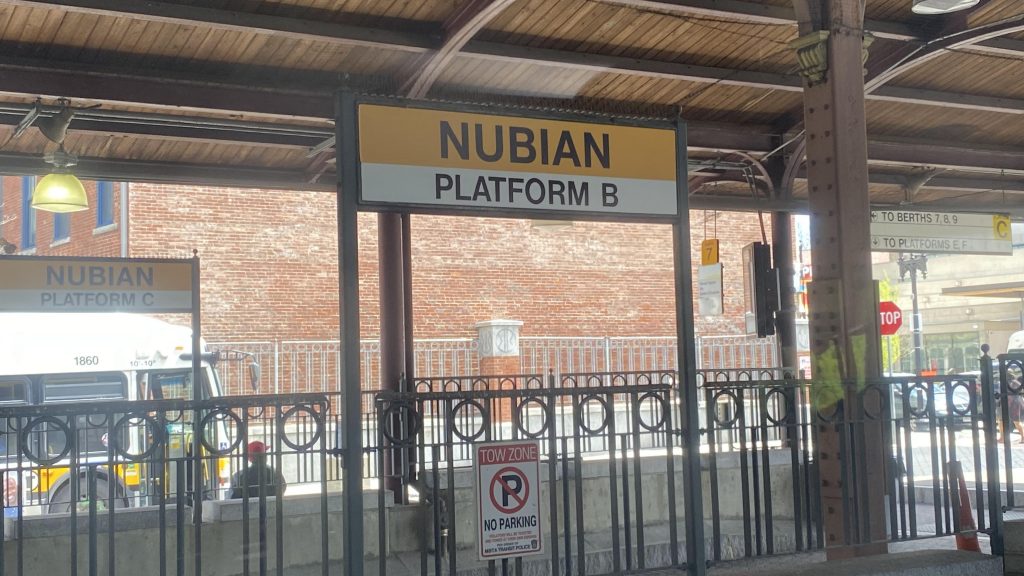
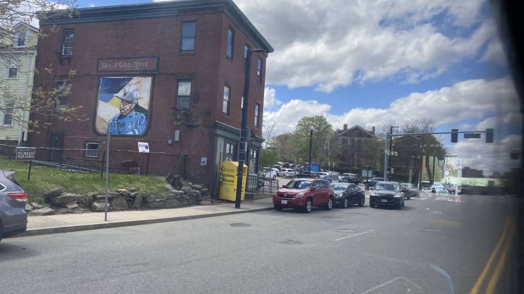
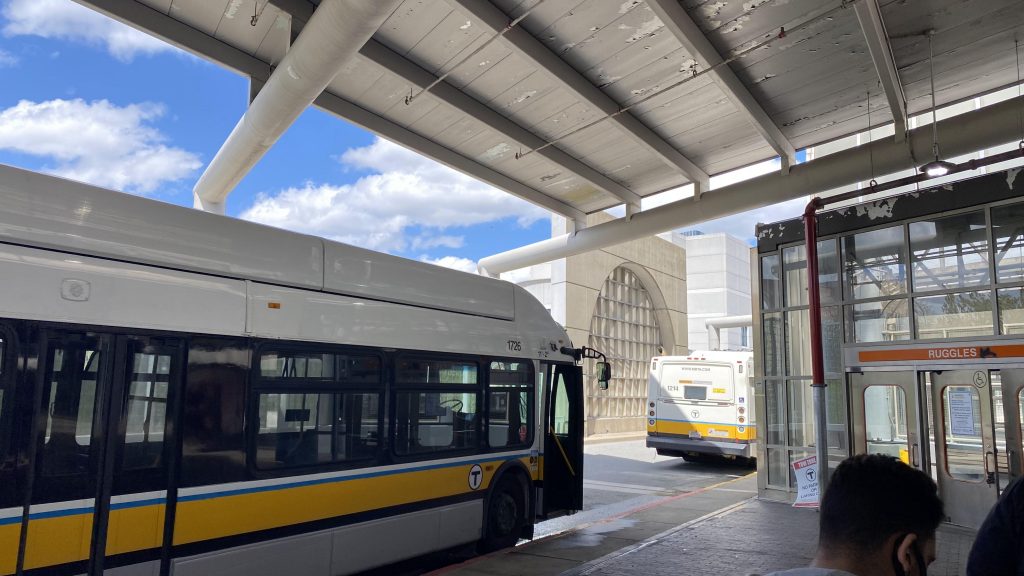
Nearby points of interest: A few parks in South Boston, Copley Square, and the subway connections. Southampton, if you’re a railfan.
Overall, while I can’t think of any reason for myself to visit South Boston, the route definitely has its uses and gets quite a bit of ridership, given the areas it serve are well populated.
Rating: 8/10